Resting the Body While the Mind Still Wanted Sunrise
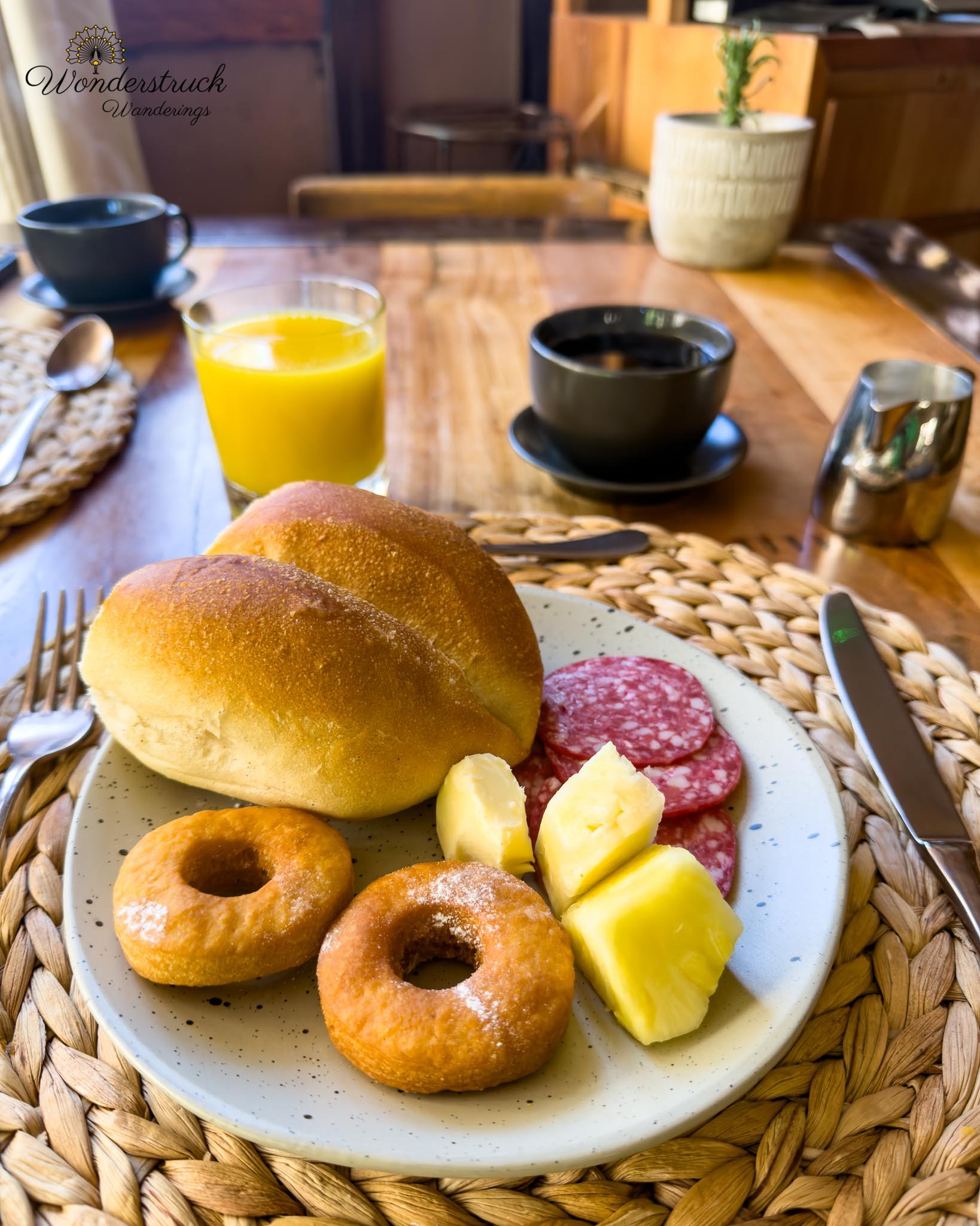
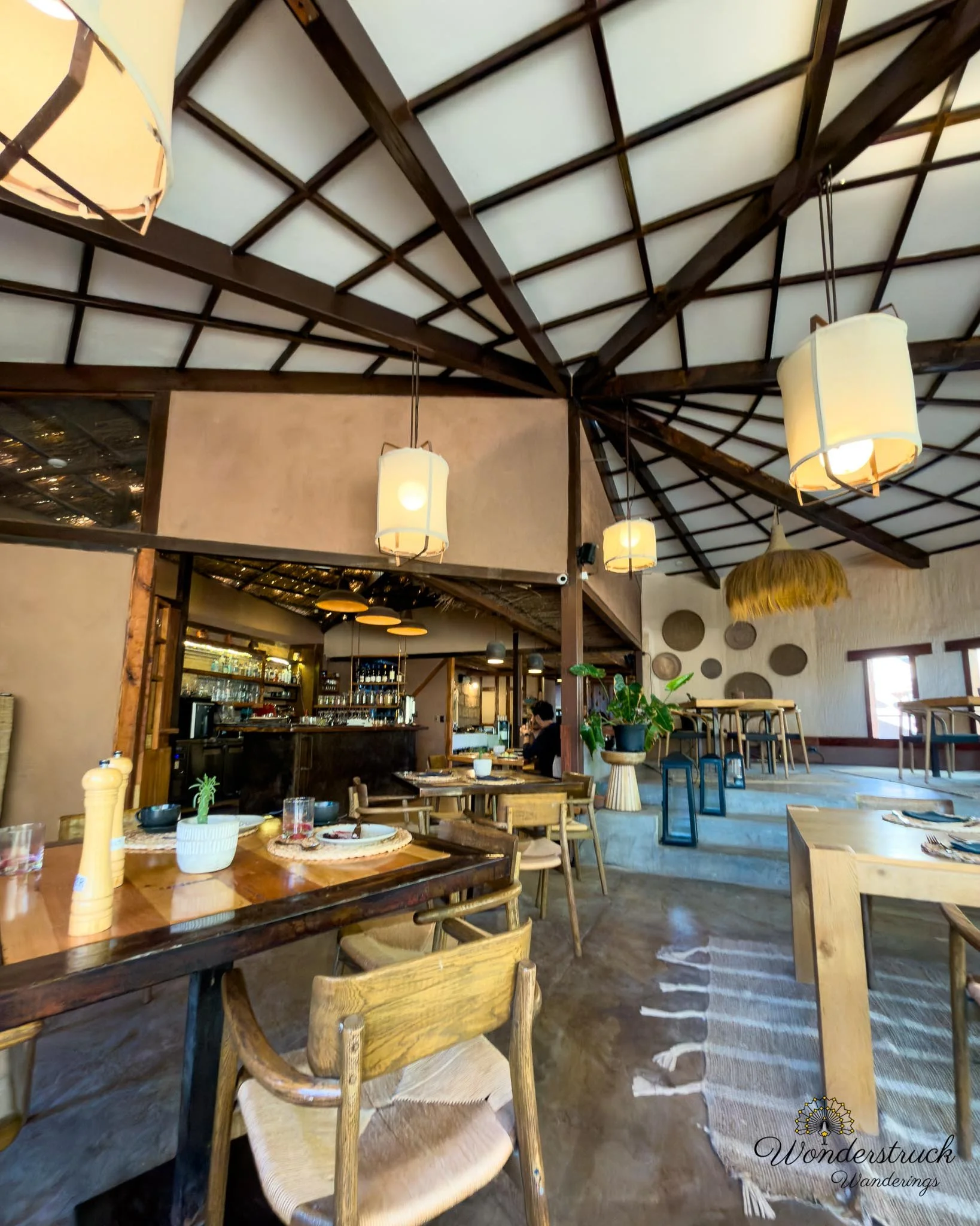
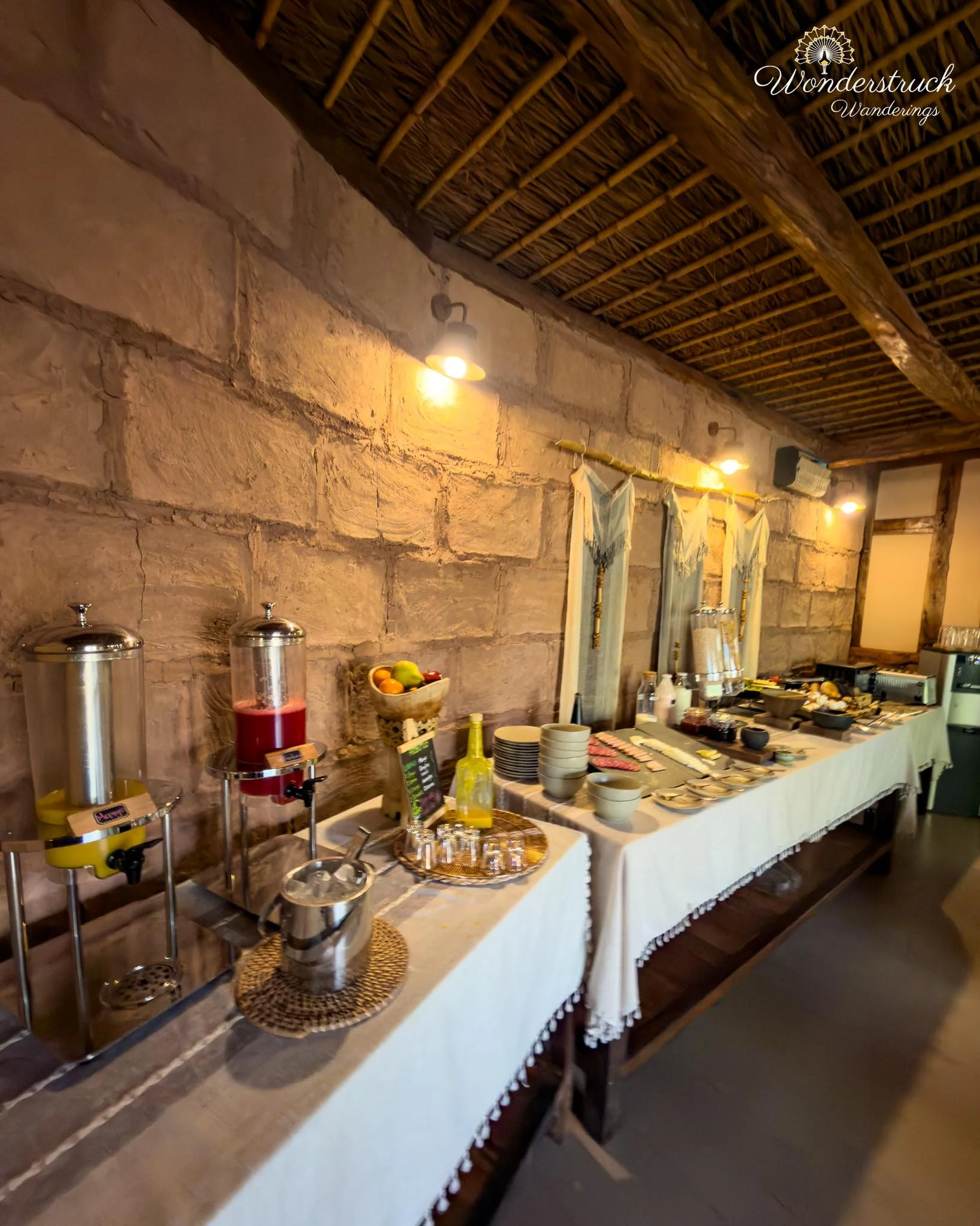
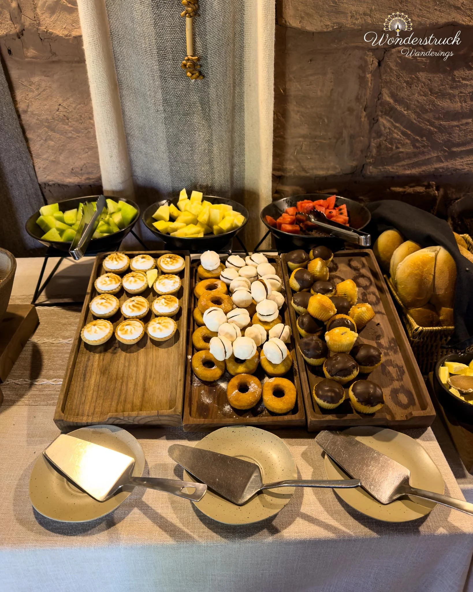
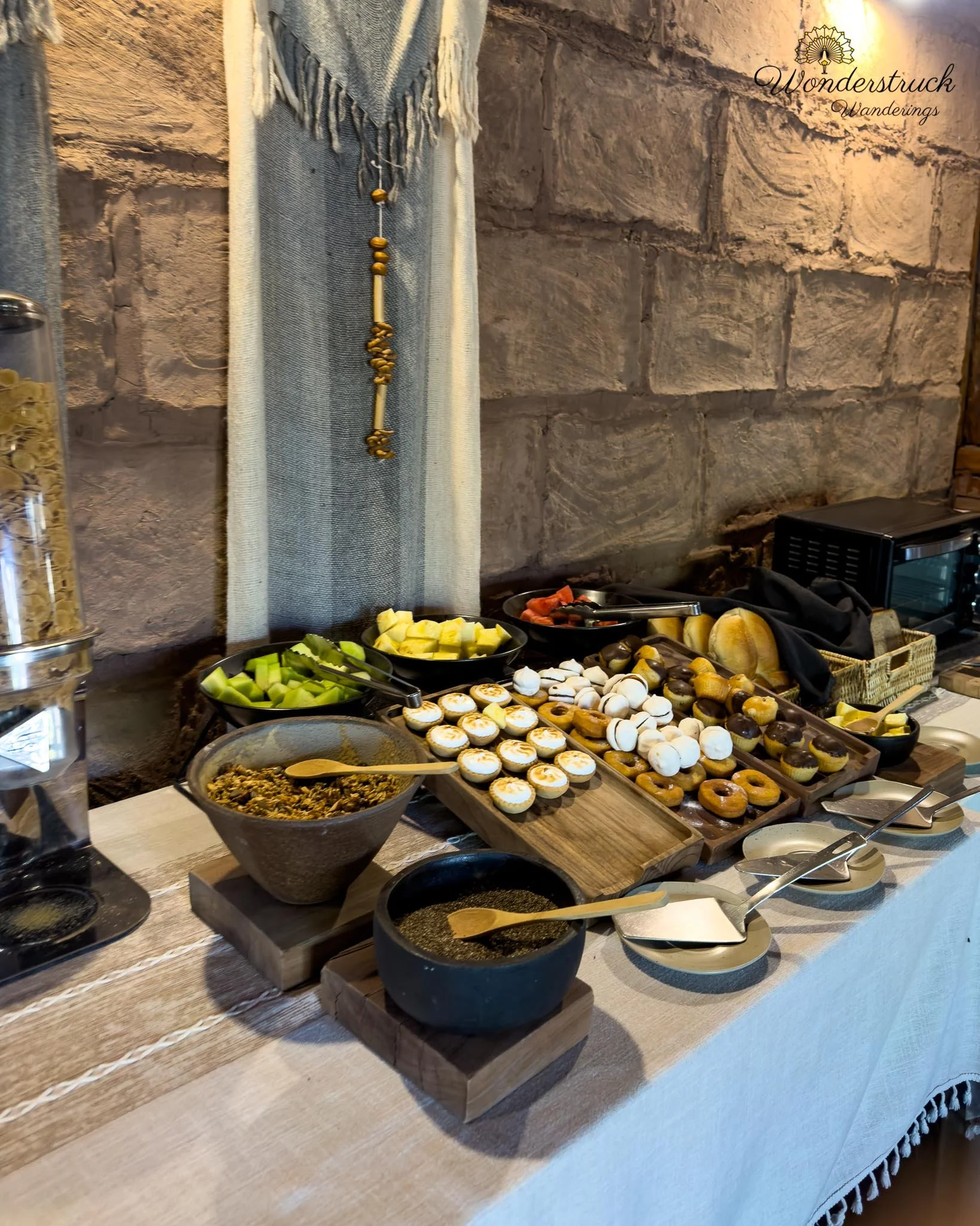
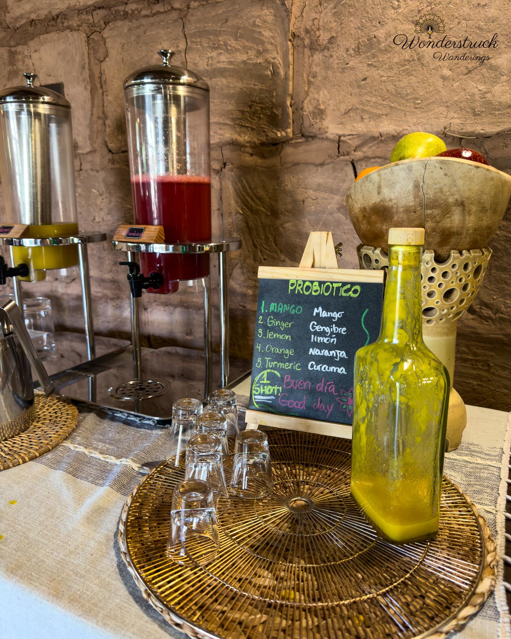
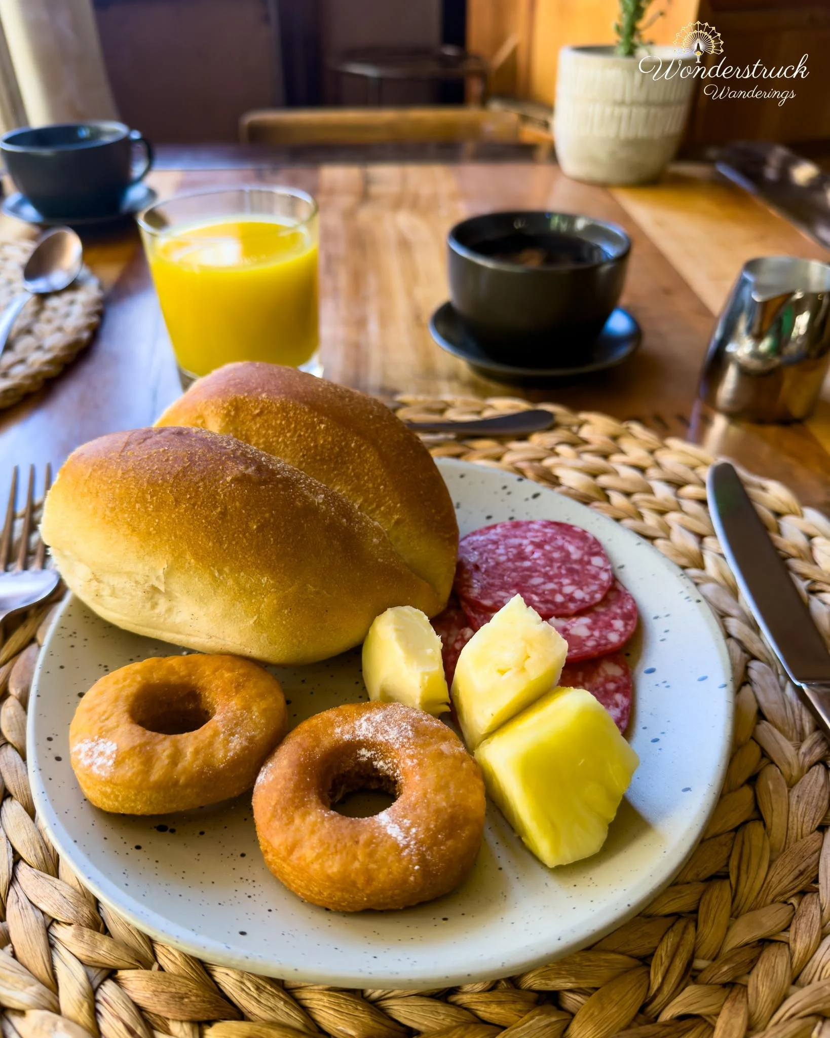

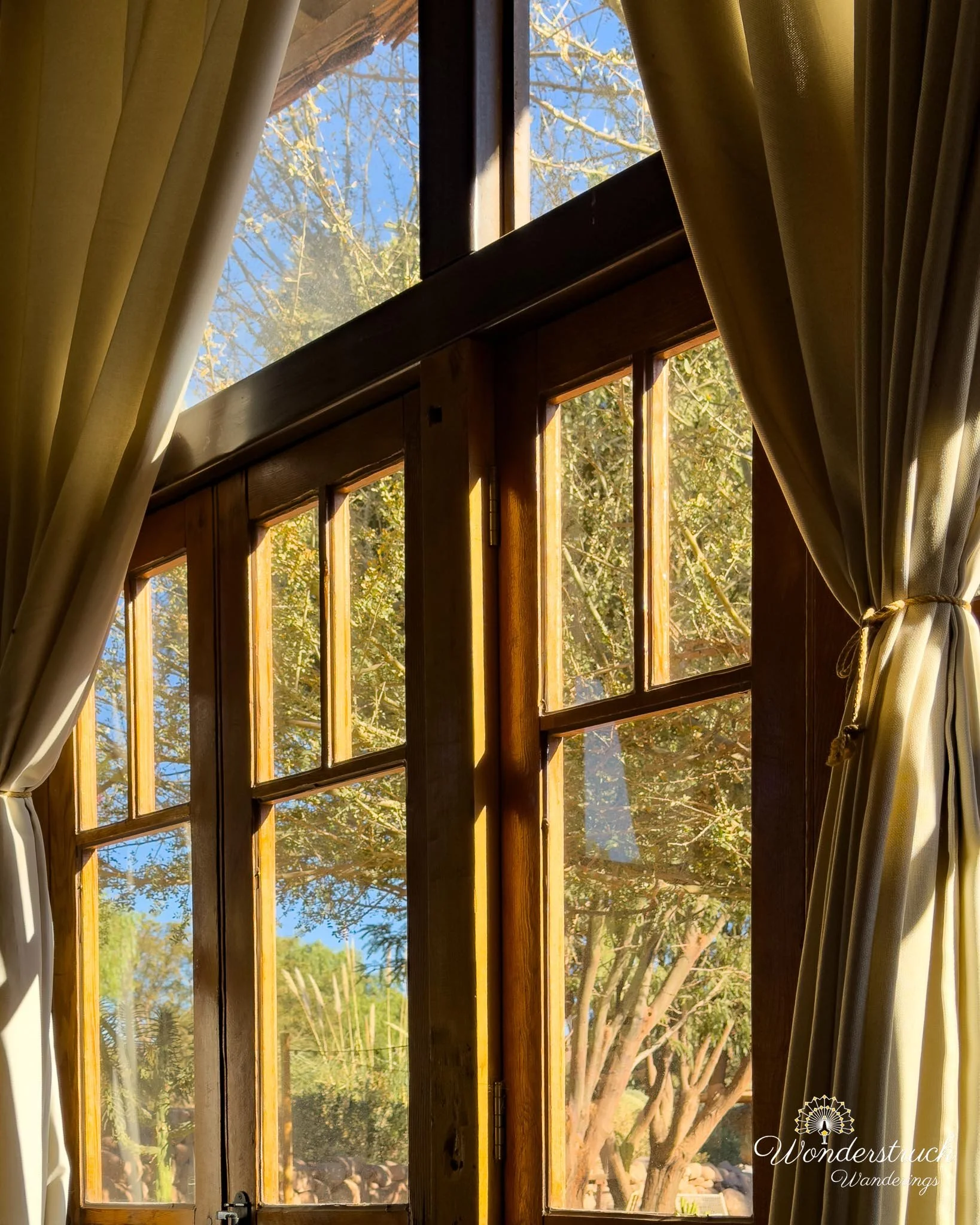
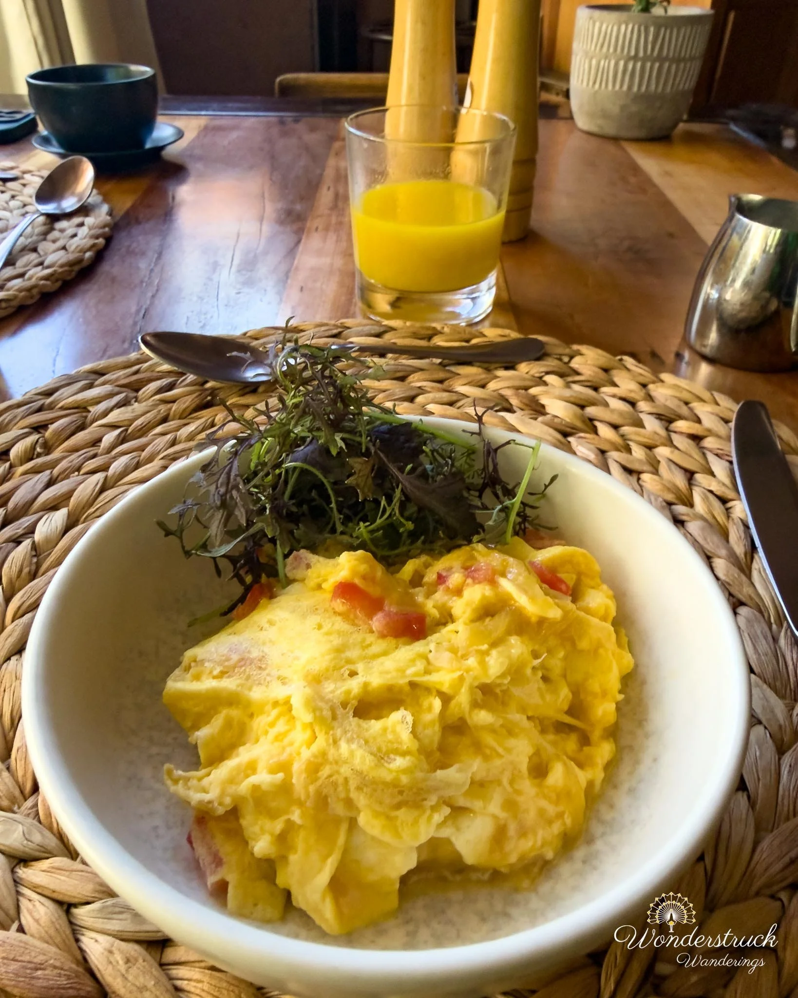
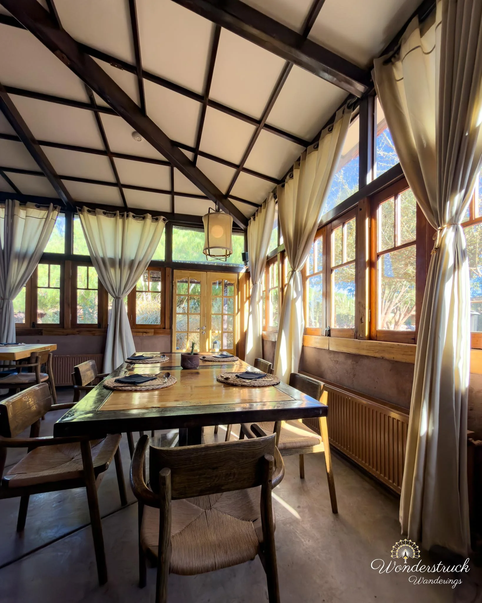
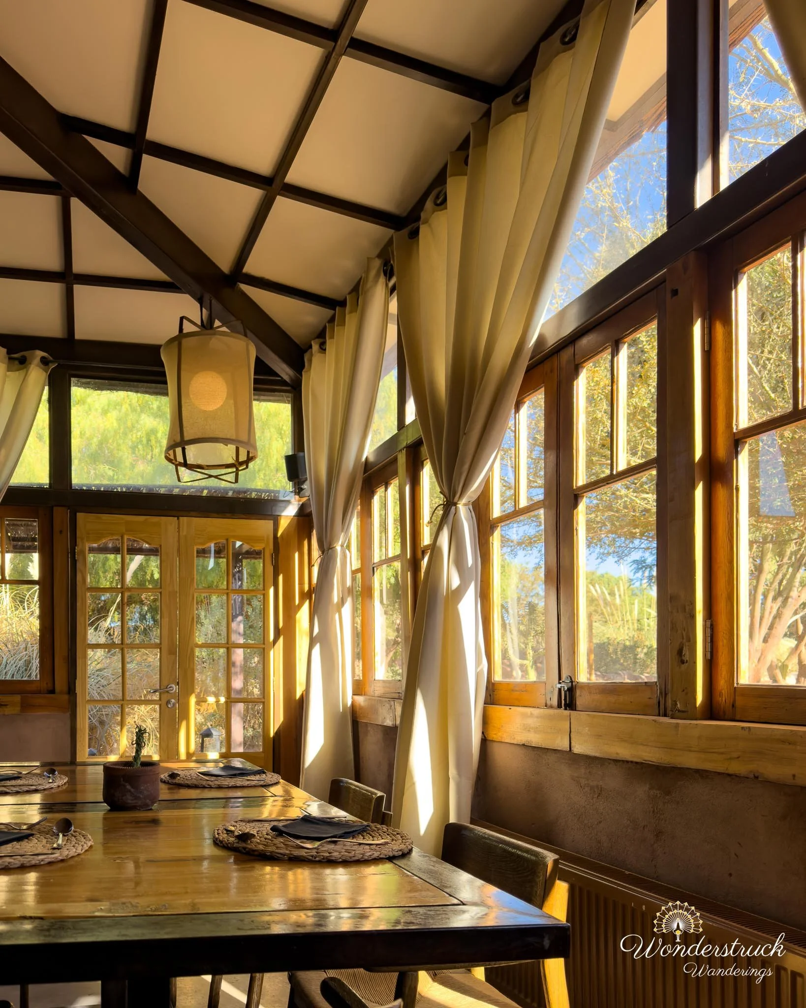
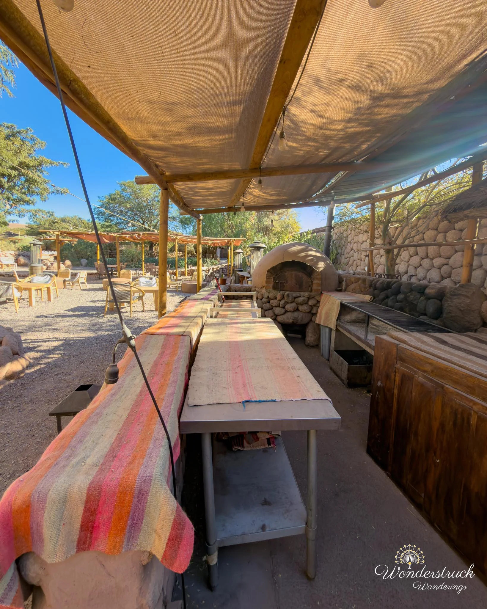
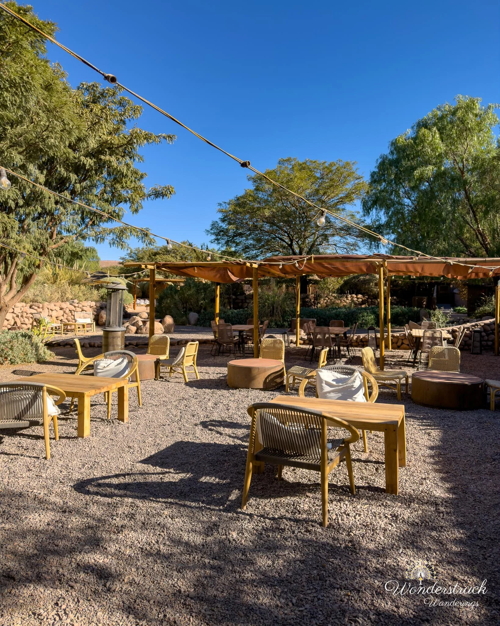
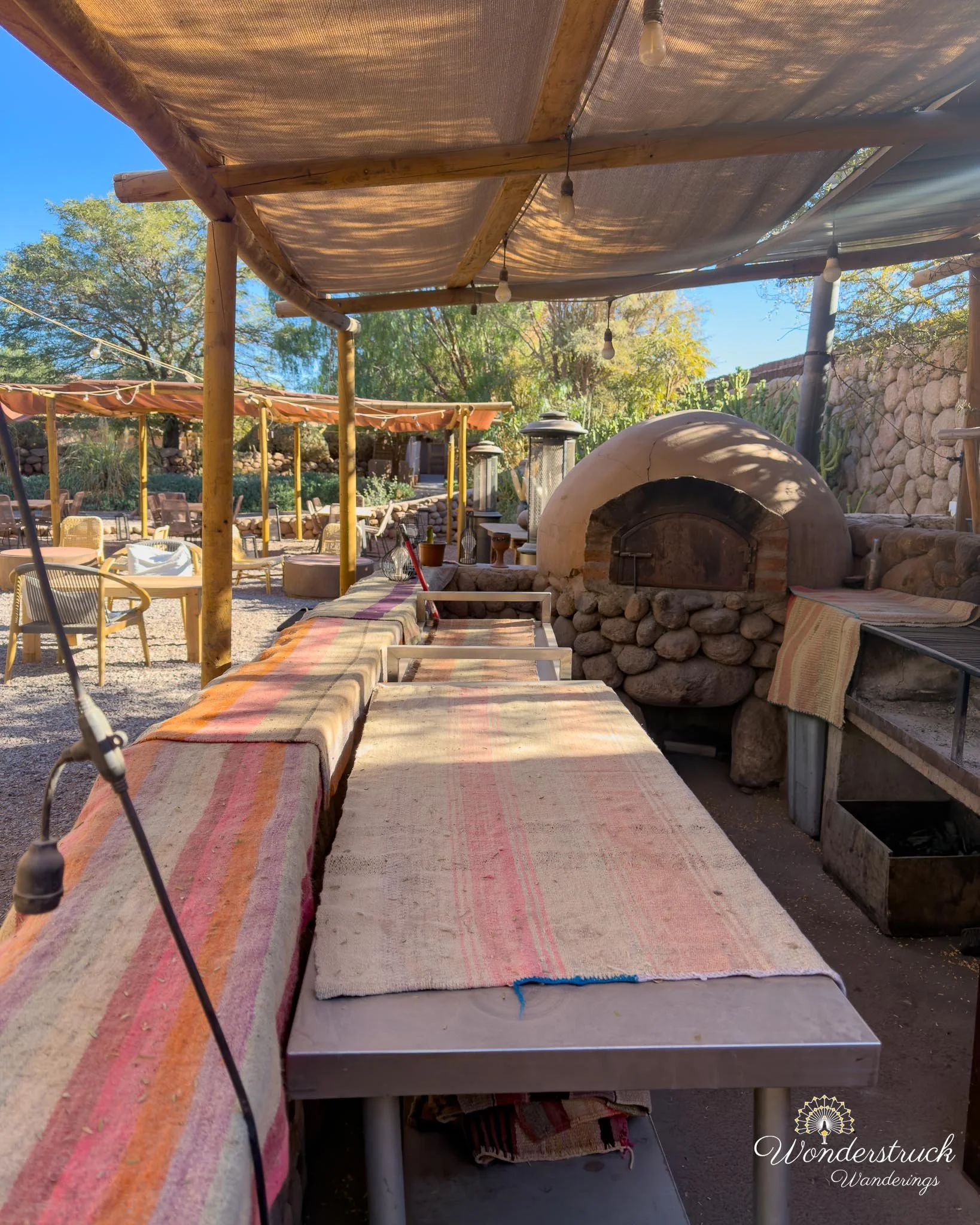
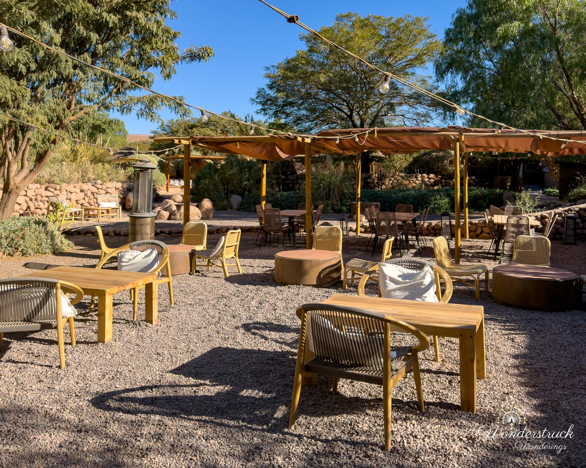
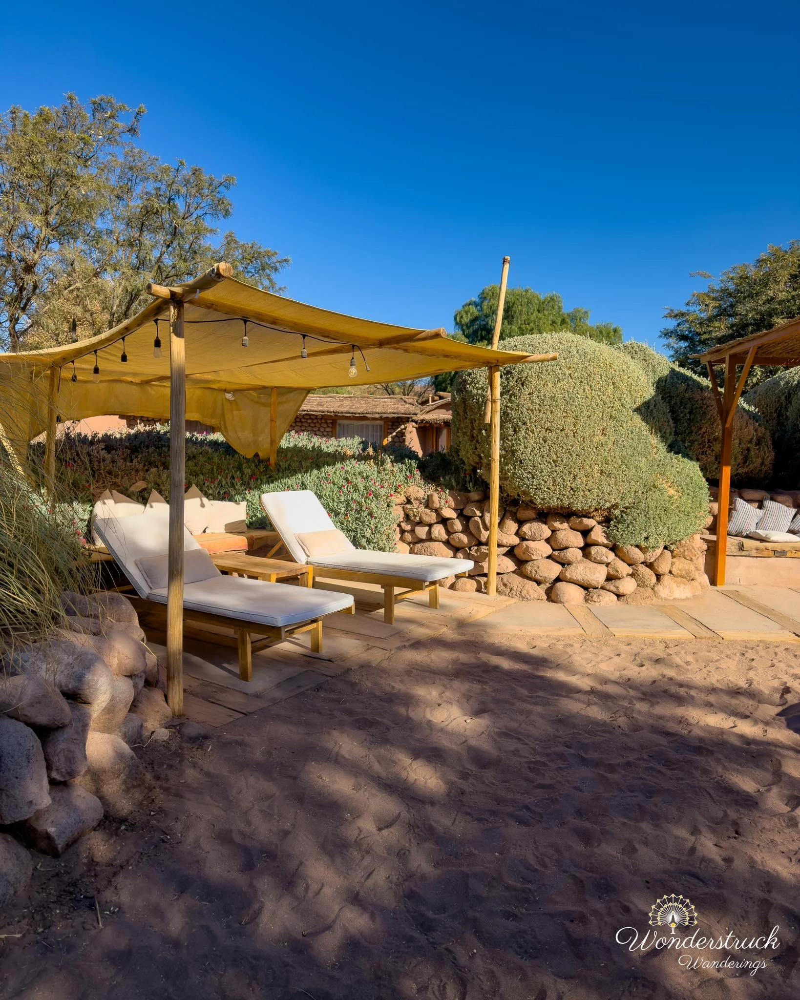
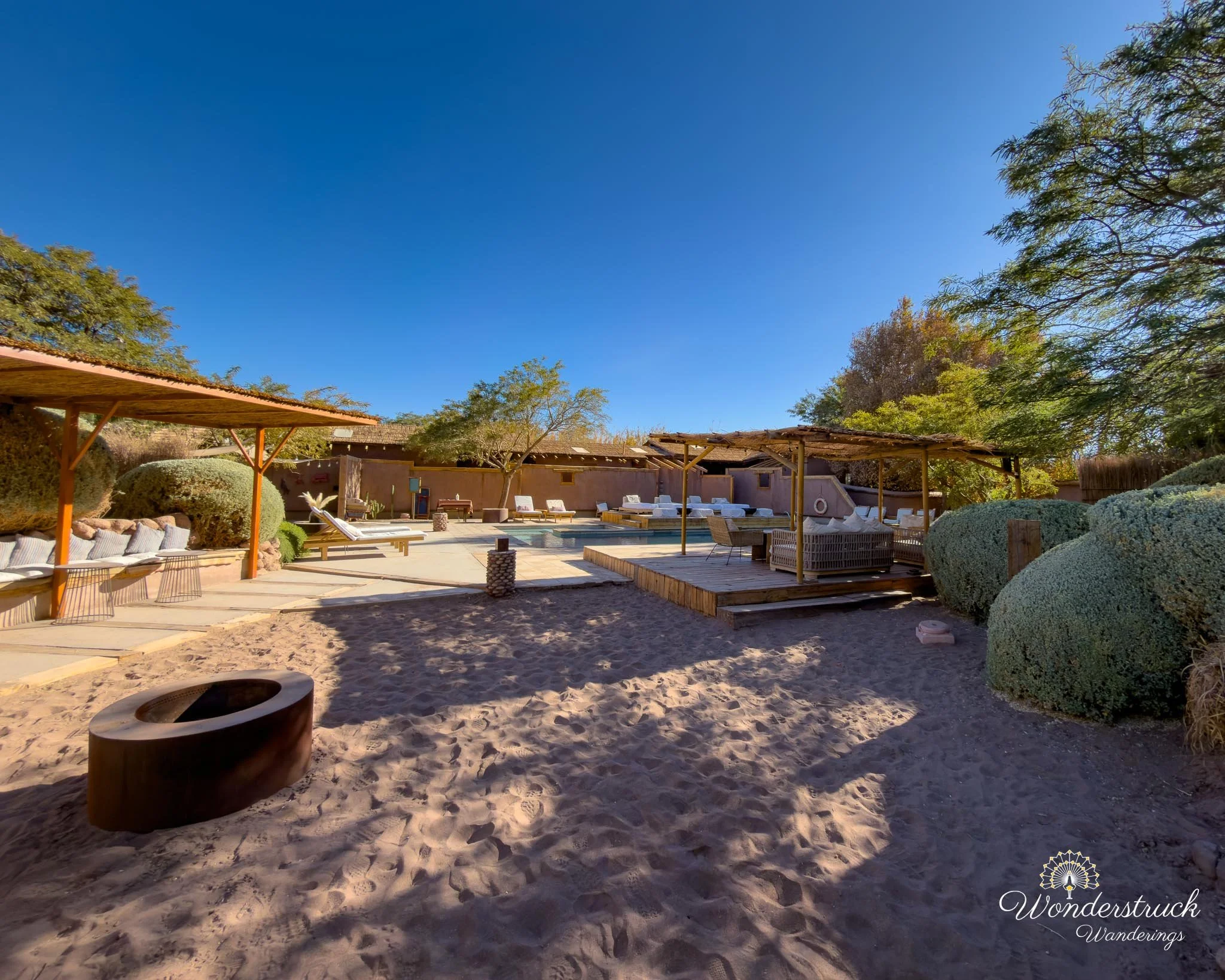
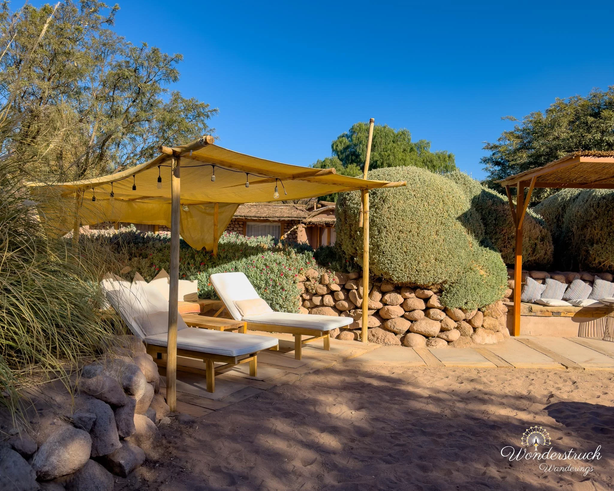
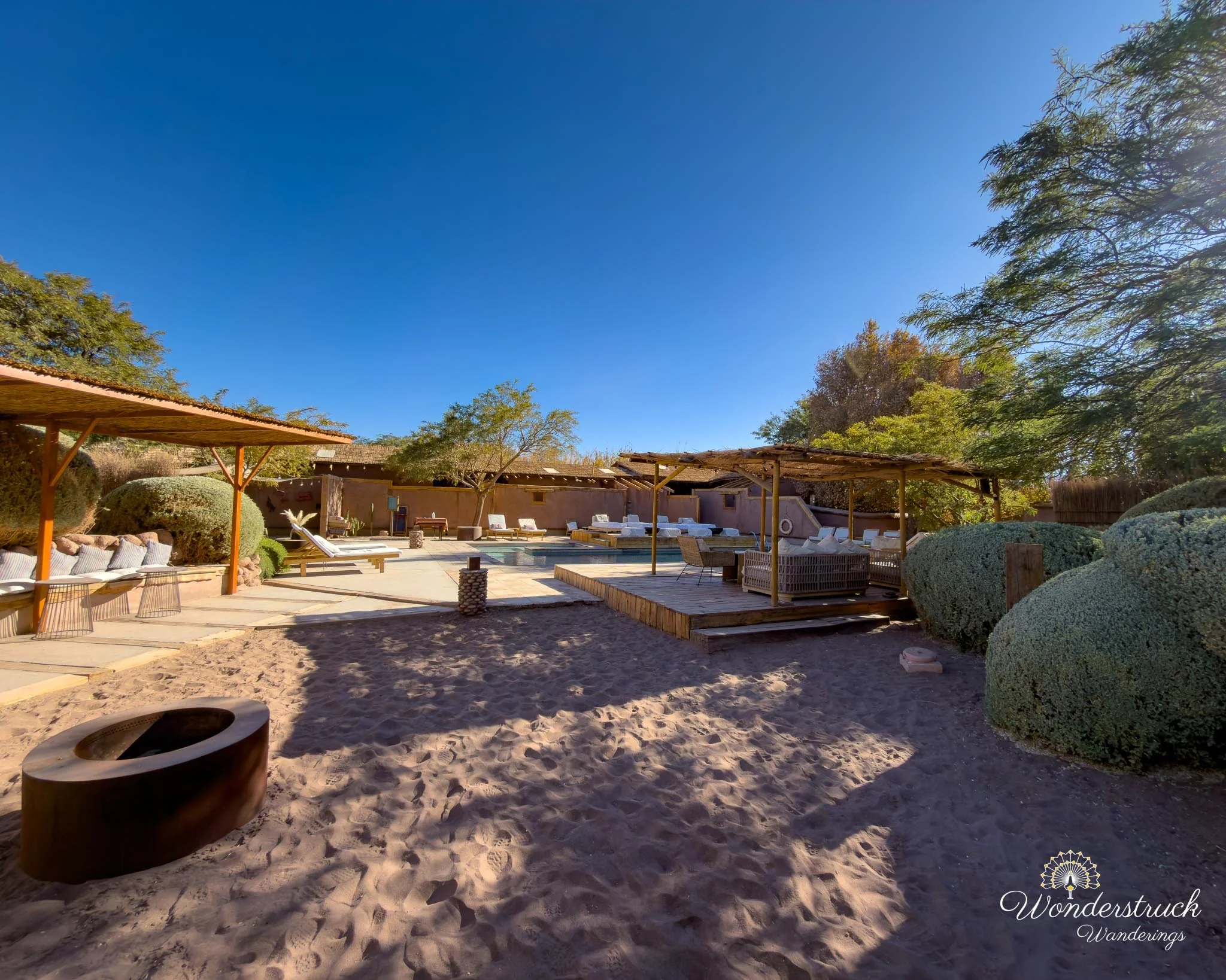
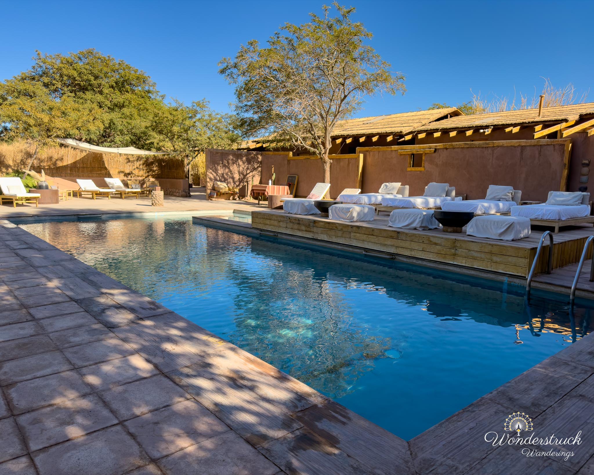
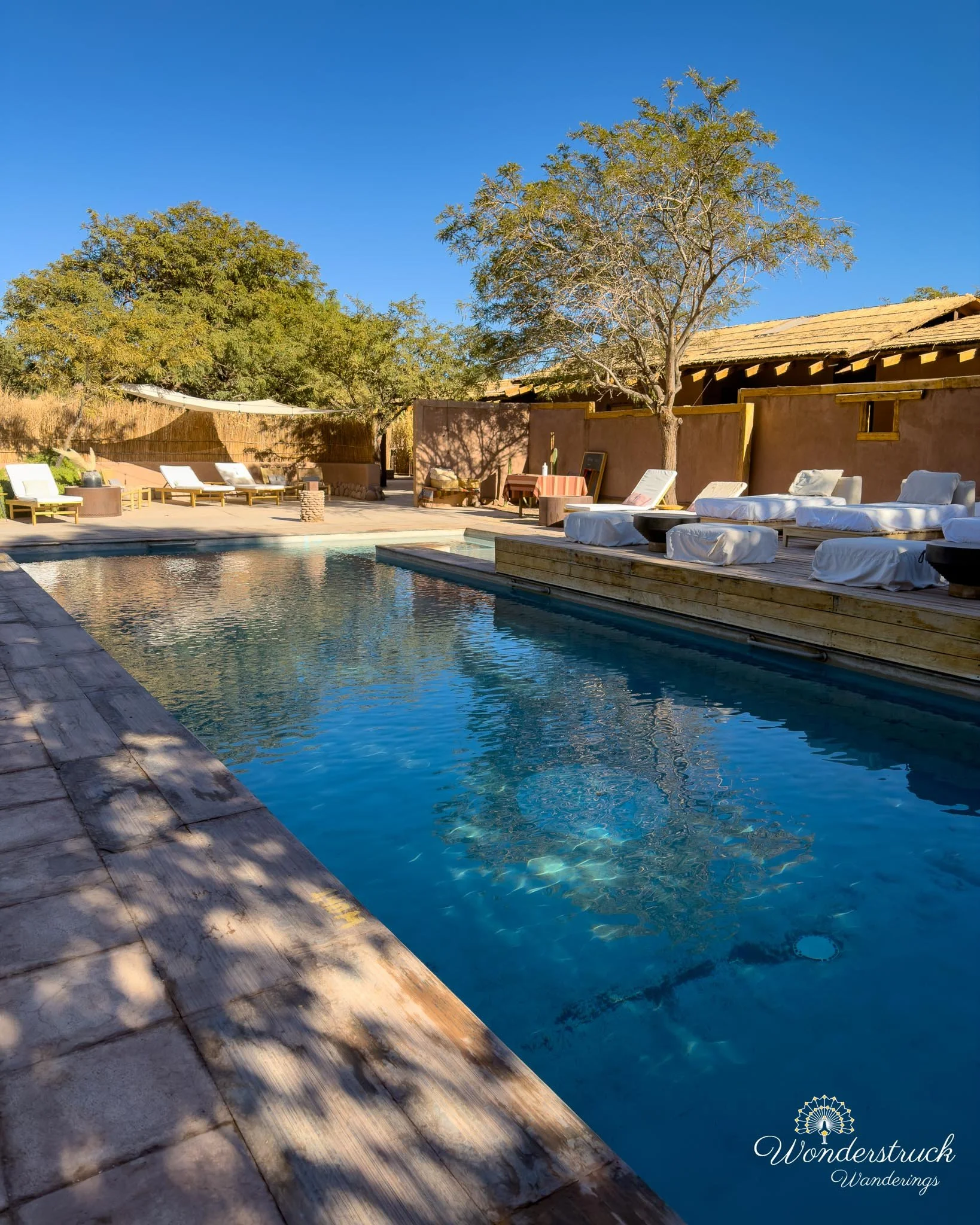
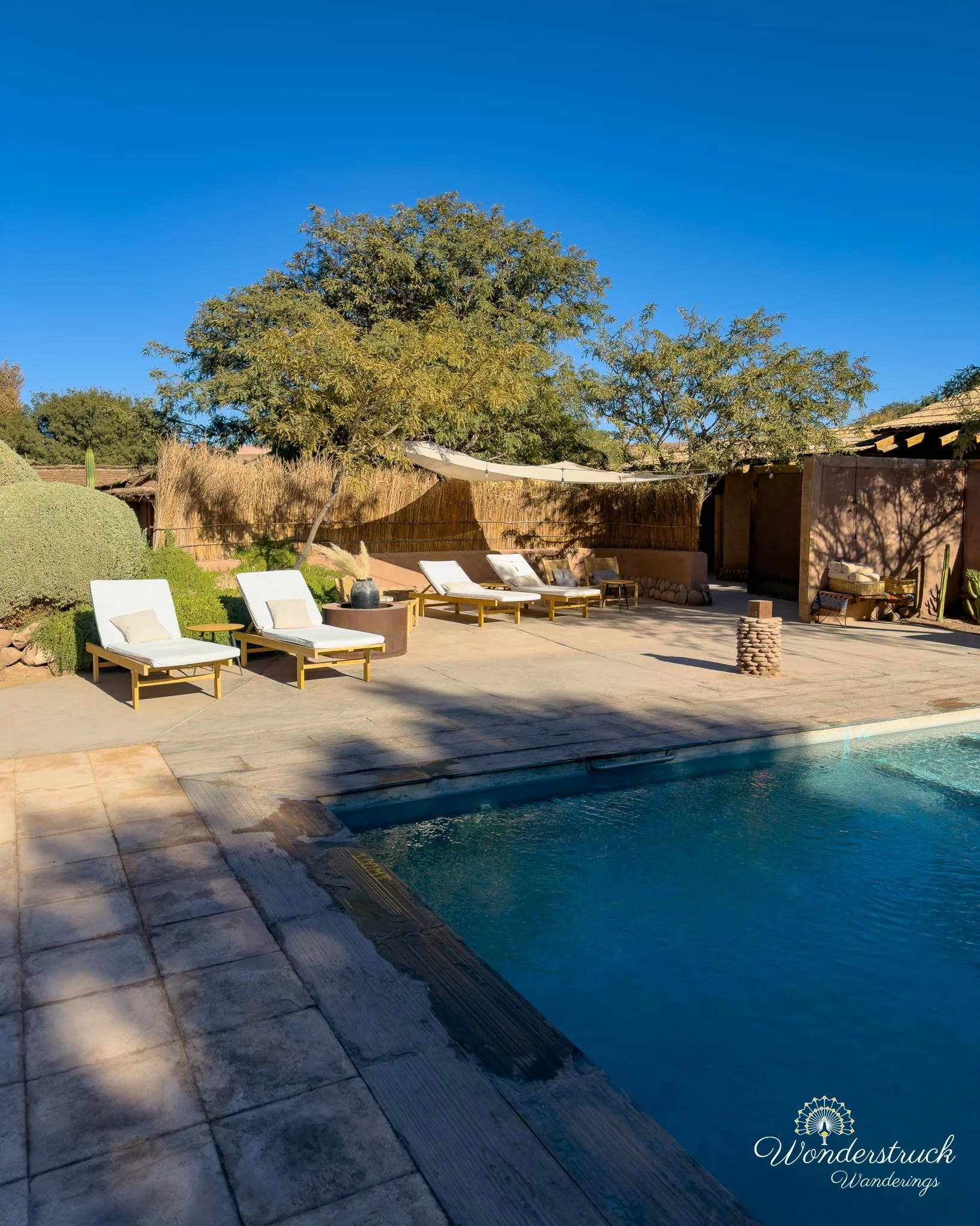
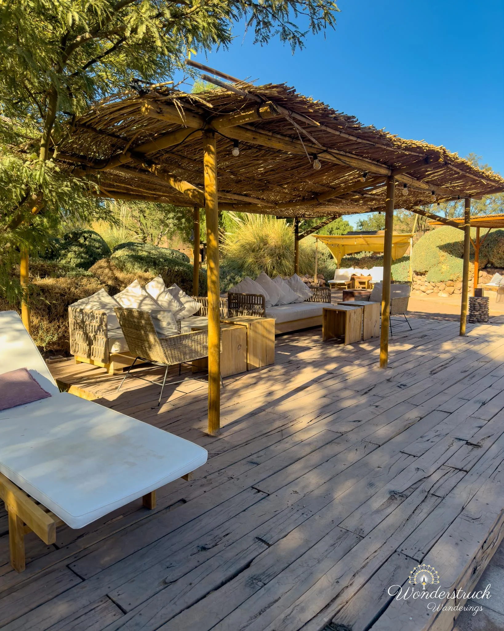
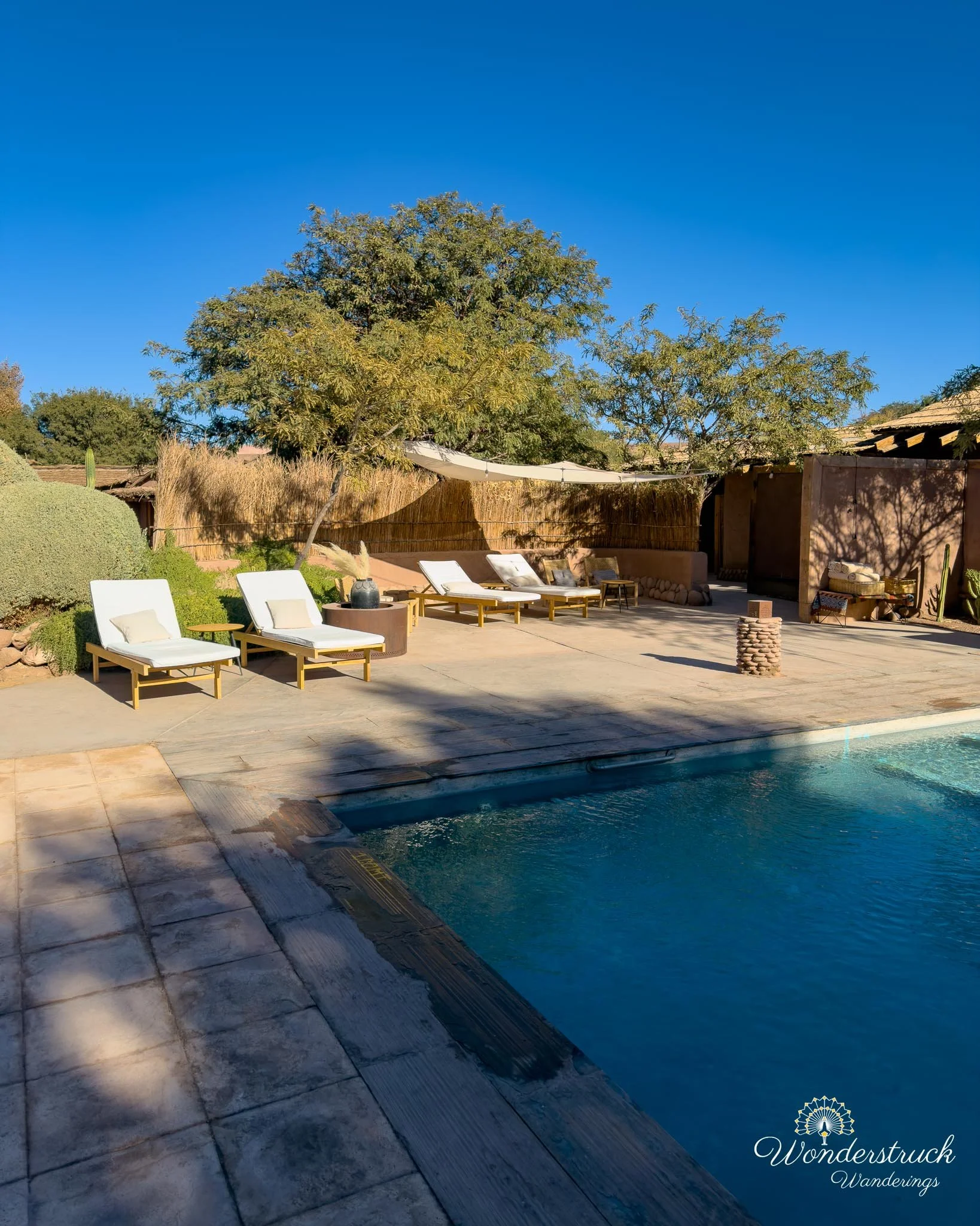
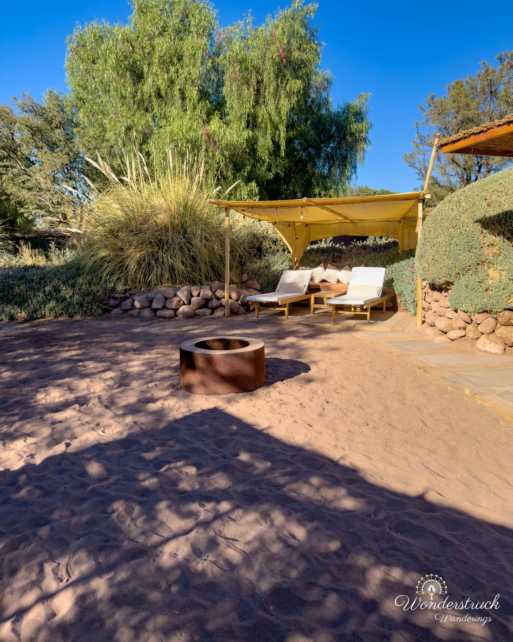
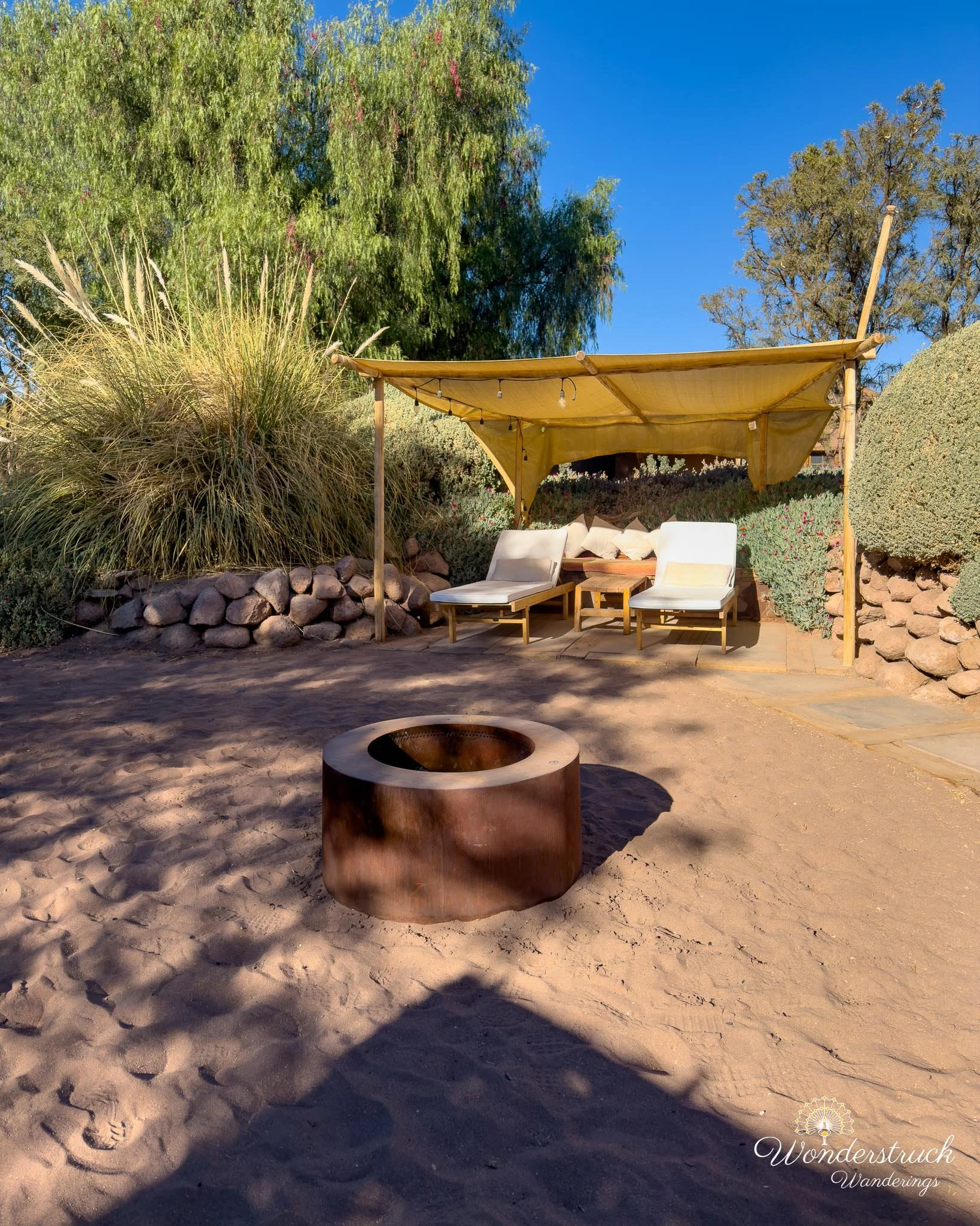
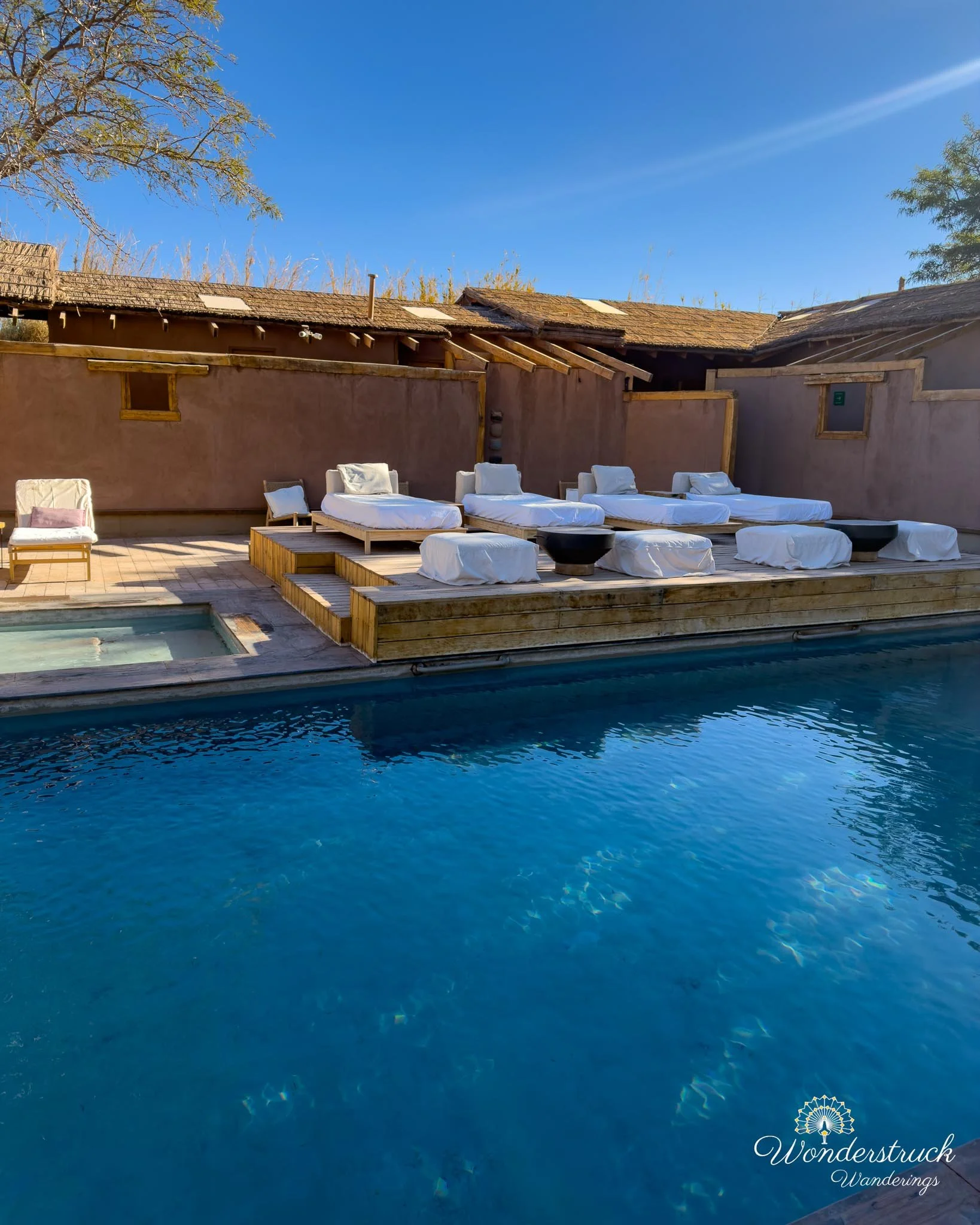
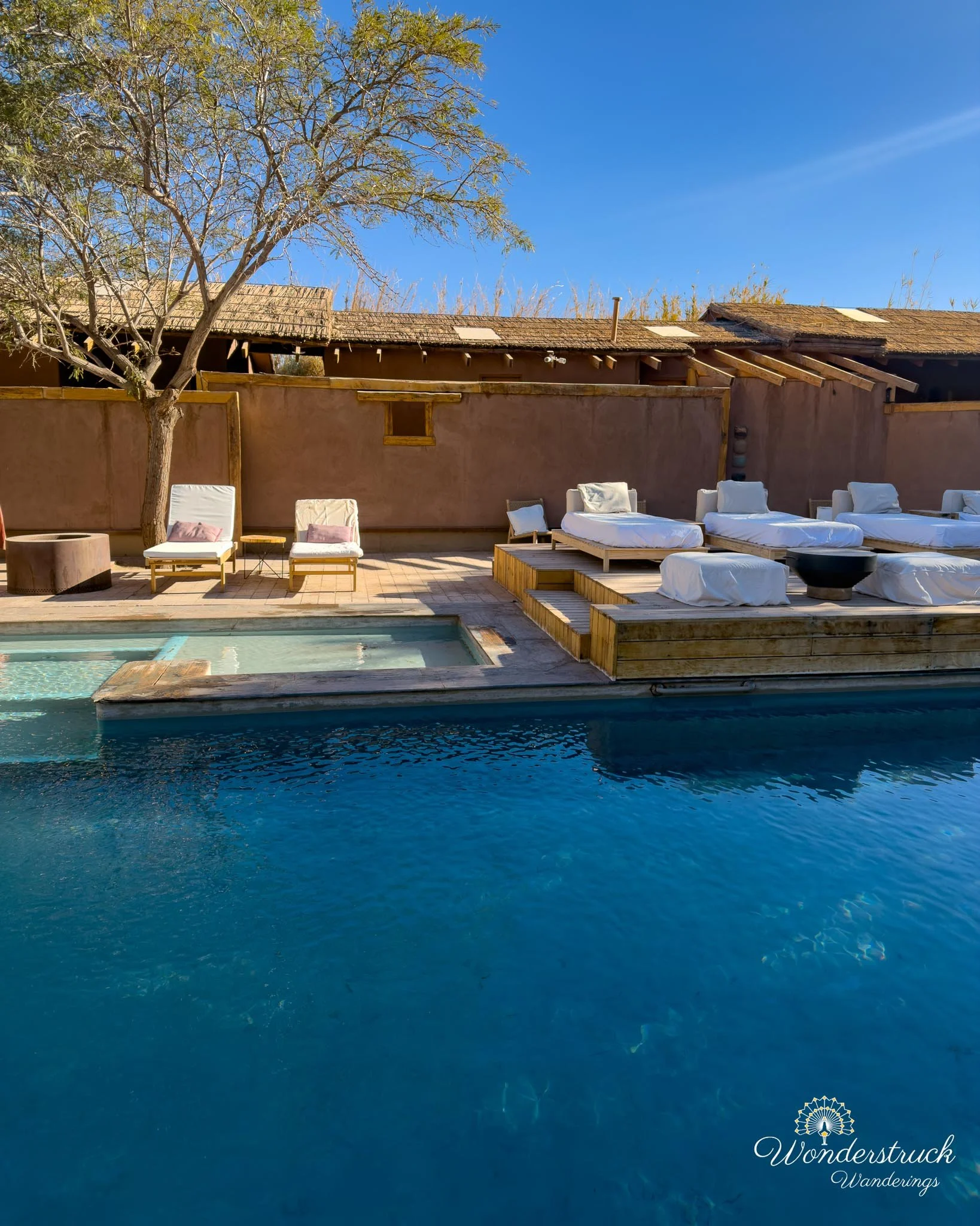
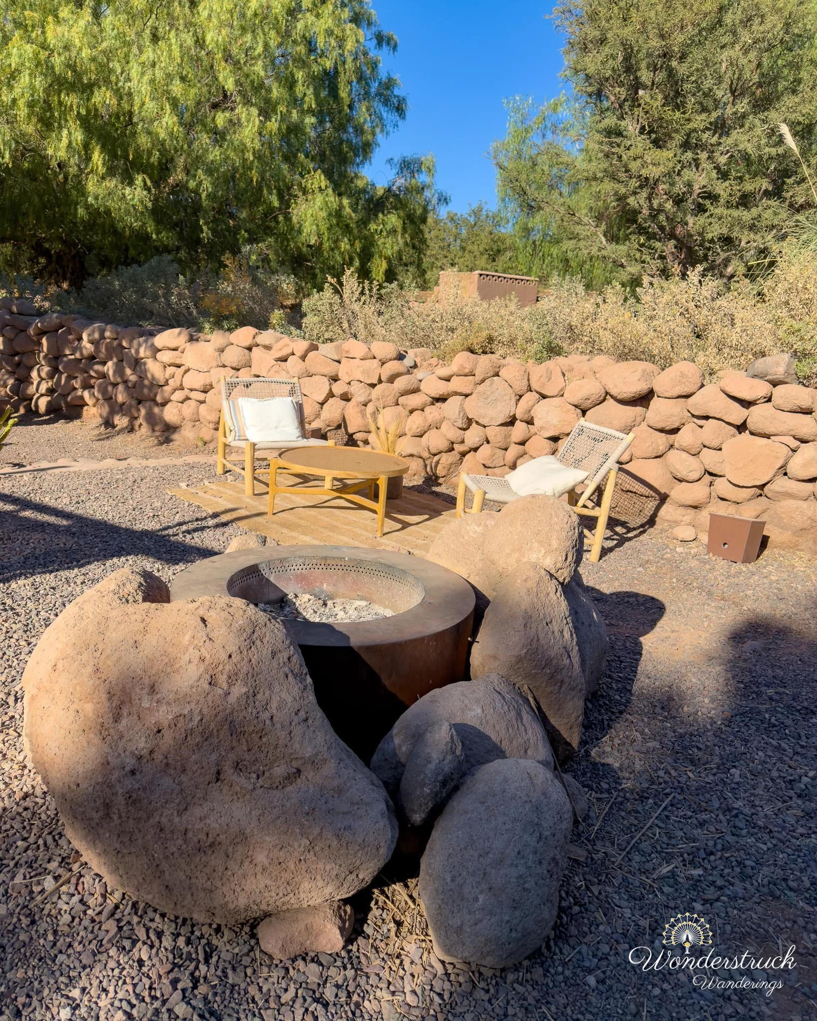
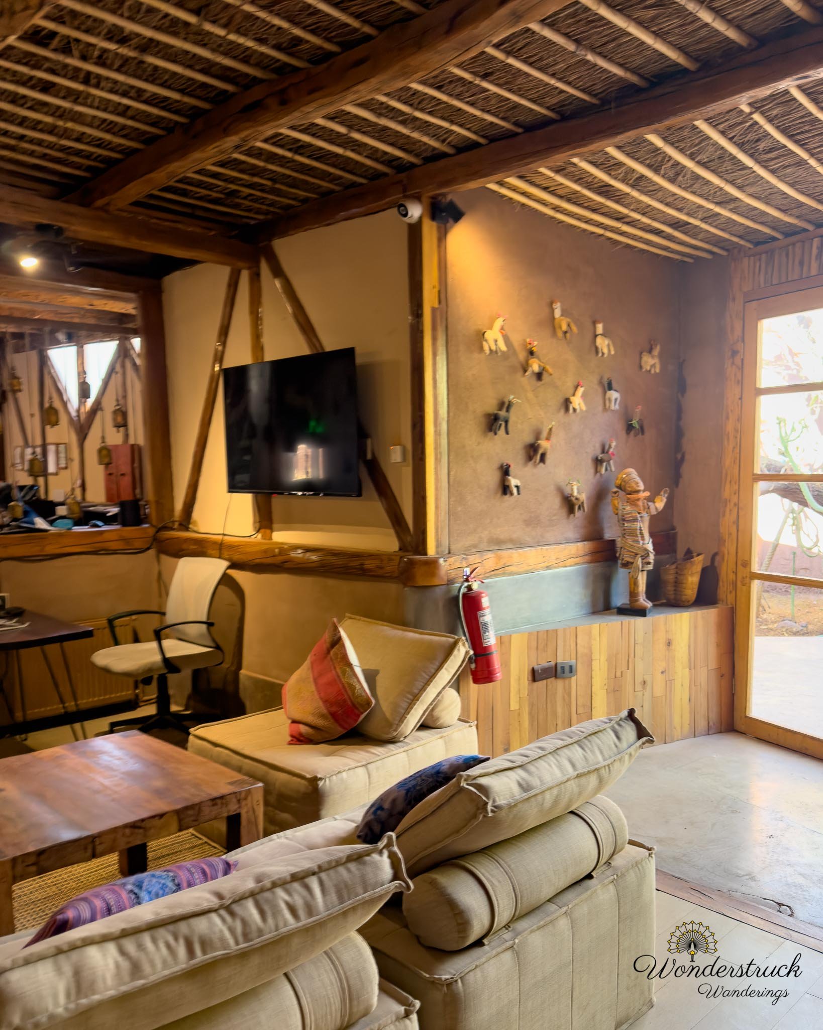
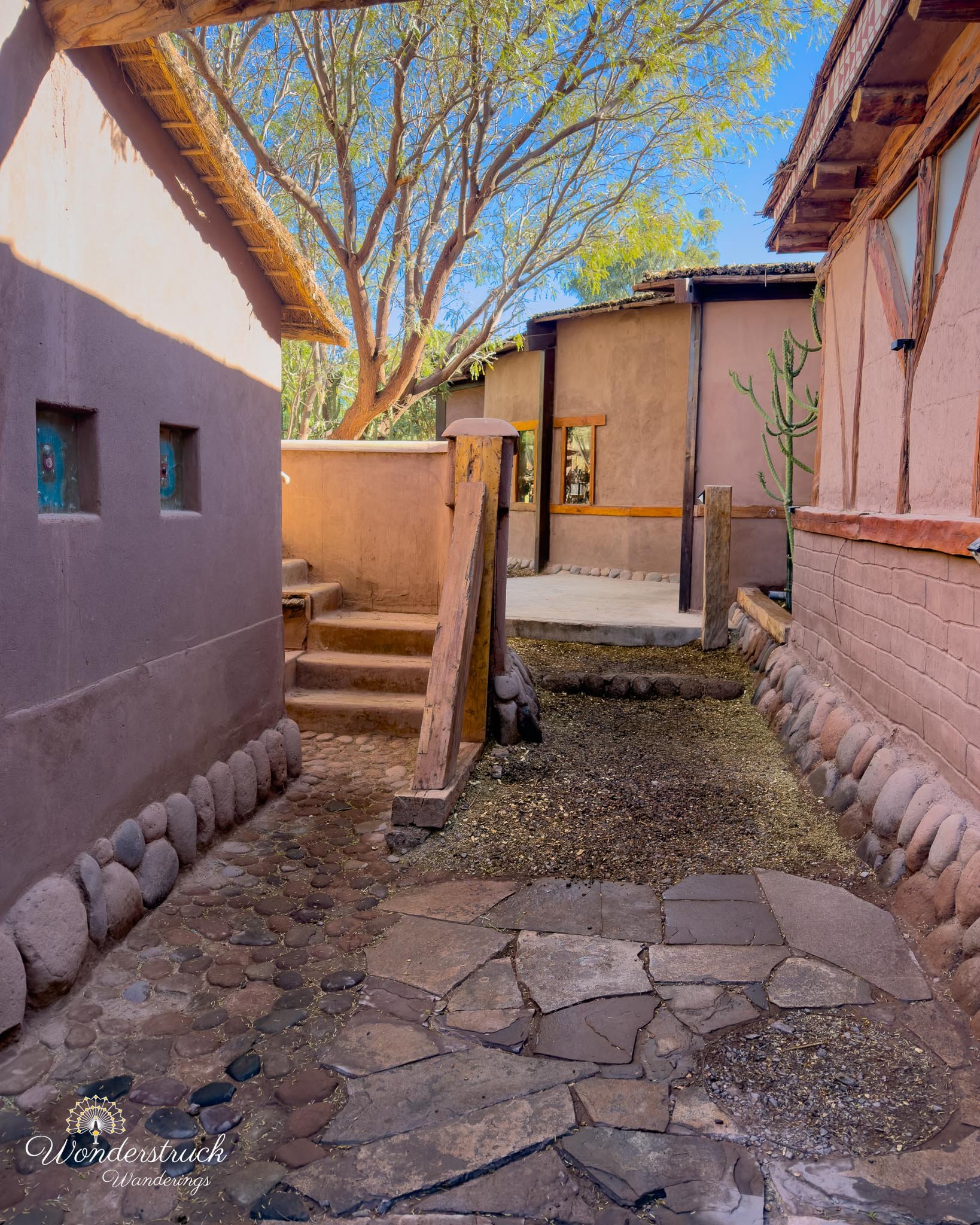
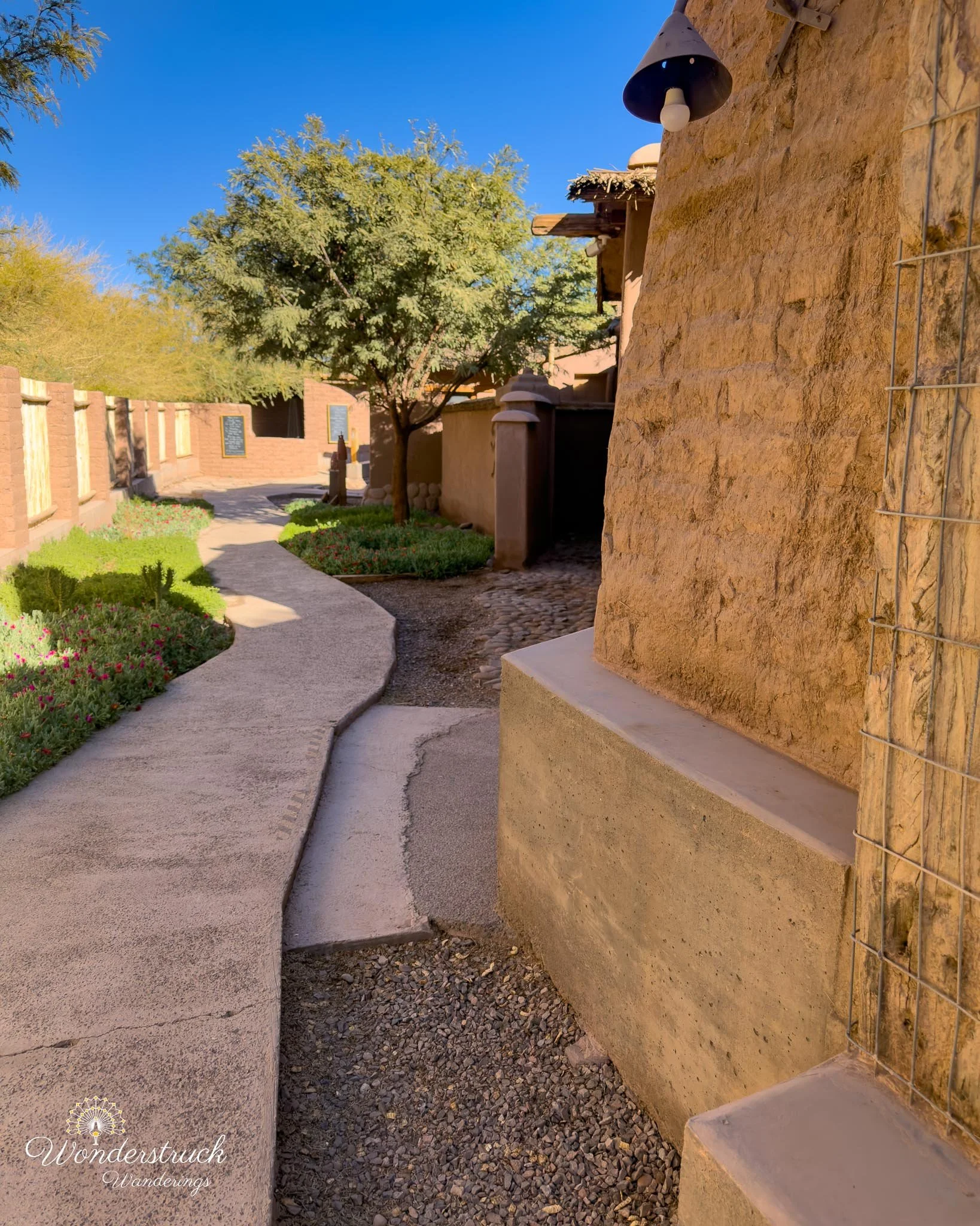
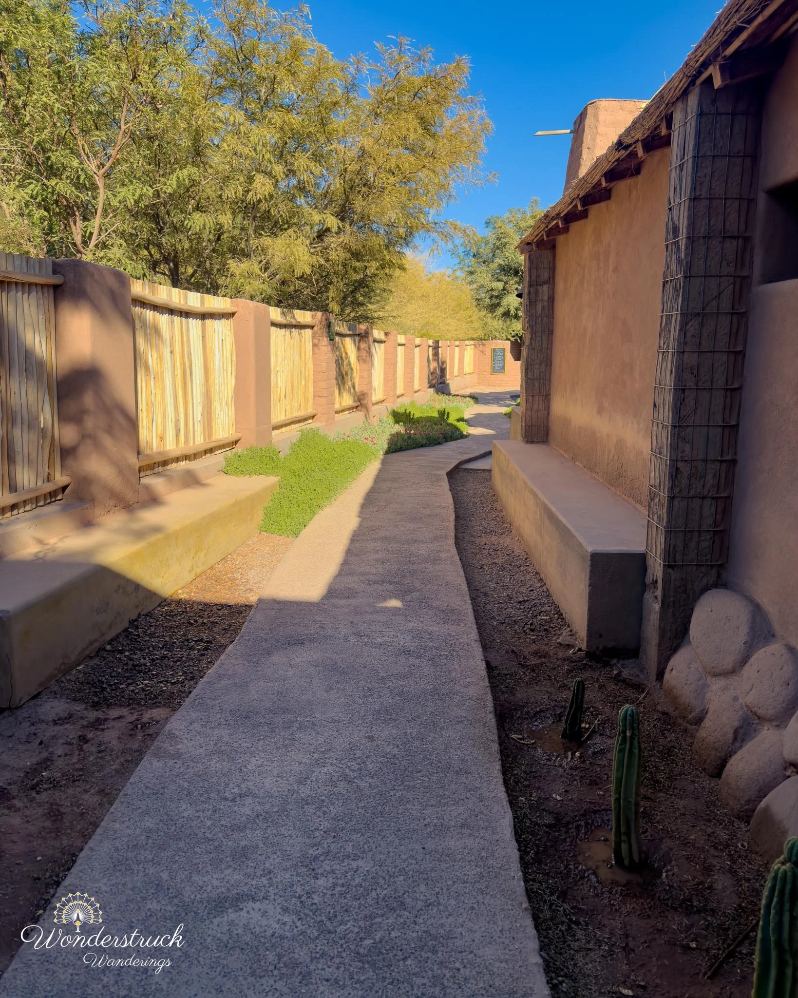
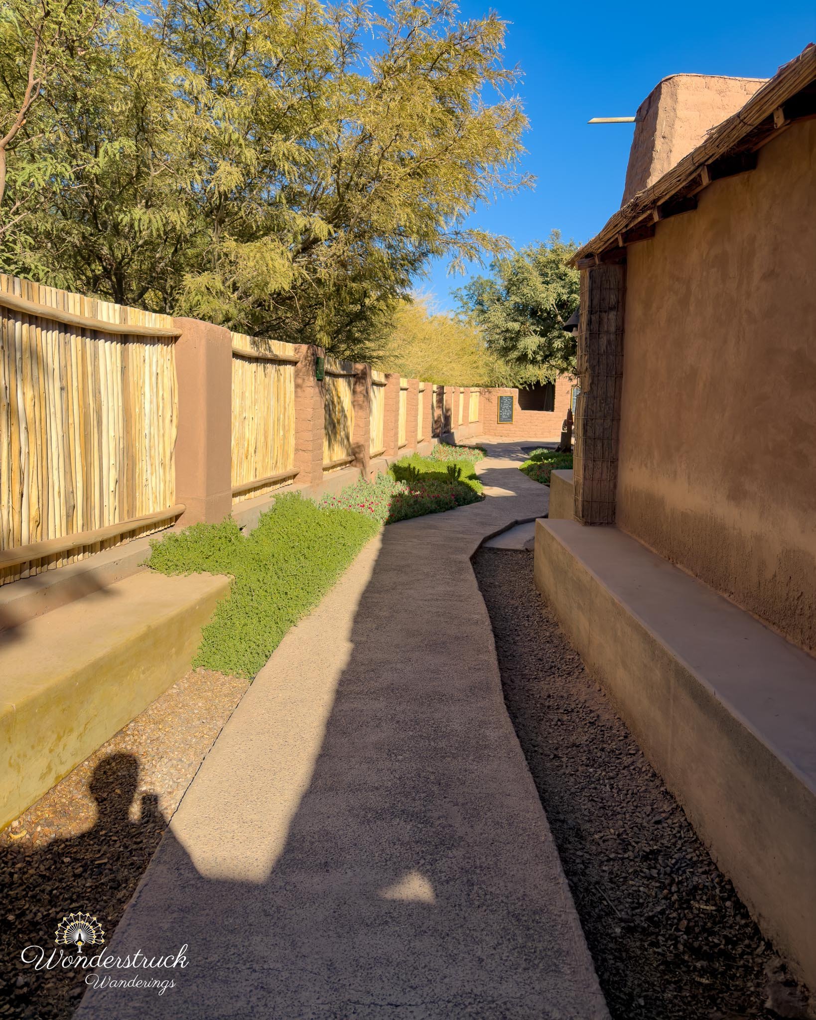
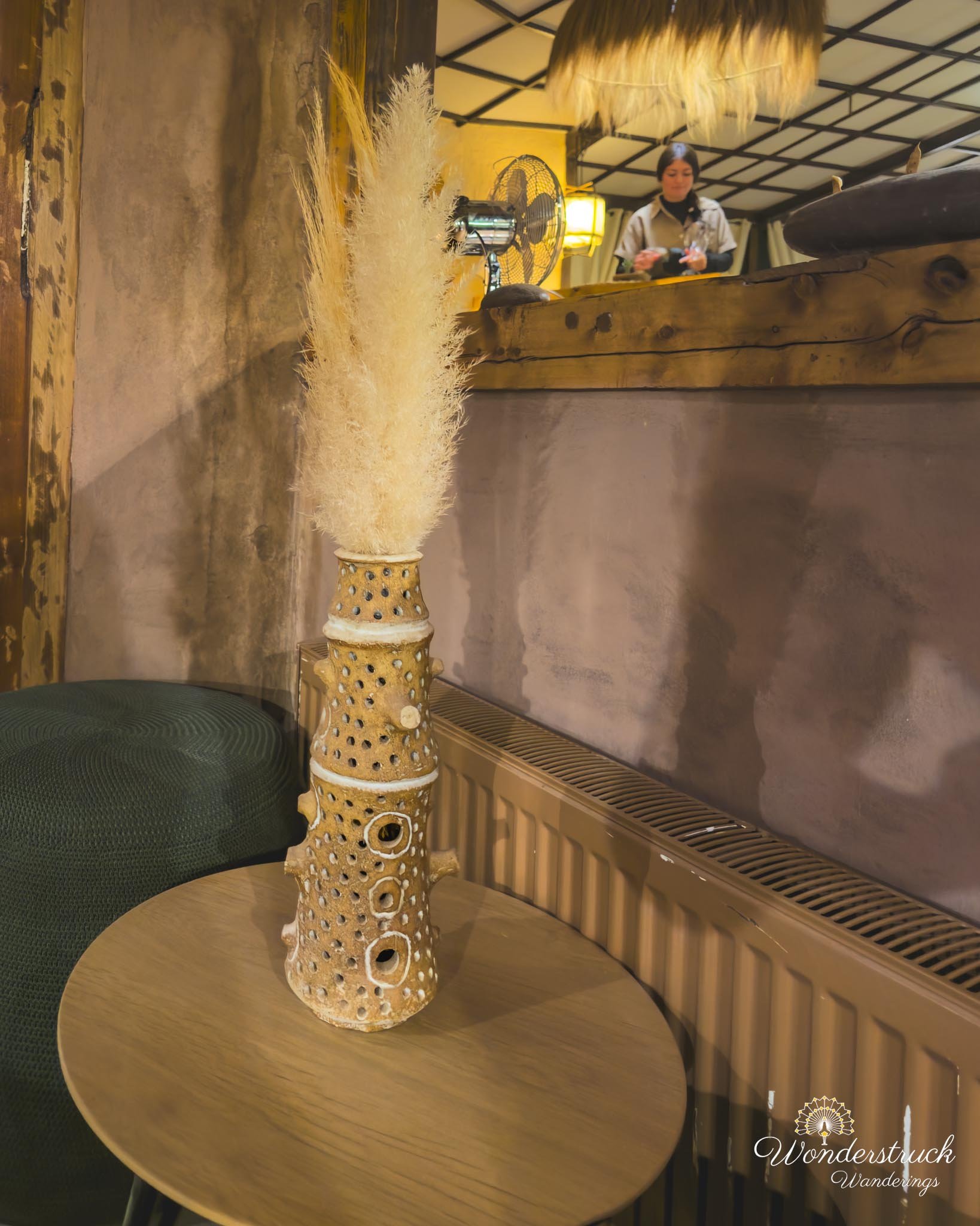
We had a sunrise plan for Day 6, but we let it go. After two long high-altitude days that had each stretched close to fourteen hours, our bodies finally pushed back. The mind still wanted sunrise. The body wanted rest. Age is catching up slightly, or maybe that is just what happens when you keep asking yourself to wake up before dawn, drive rough desert roads, hike at altitude, bird, photograph, and then still go out to dinner afterward. Either way, we listened to the body this time. So instead of forcing another early departure, we had breakfast at the hotel. That almost never happens for us on trips like this specially a repeat. Usually, we are out before hotel breakfast starts, eating pastries in the car or drinking coffee from a thermos while trying to beat the light. Getting included breakfast twice in five nights felt almost luxurious. Shay went with the same dish she had enjoyed before, huevos milpas. I had my usual huevos revueltos with onion and tomato, plus a few things from the buffet: donuts, meat slices, bread with butter and jam, coffee, and juice. It also gave us time to notice Our Habitas Atacama beyond just using it as a place to sleep between excursions. The property is designed around the desert rather than against it: low structures, open spaces, muted materials, and enough outdoor corners to make you want to sit still for a while. The pool area, outdoor seating near the fire, and brick oven setup made the property feel like a desert retreat that could be enjoyed properly if we had built in more downtime. There was a place to sit outside near the fire, a brick oven where they cook barbecue on certain evenings, and the kind of relaxed communal layout that probably works best when you are not constantly rushing out to catch sunrise or sunset.
The Drive to Rainbow Valley
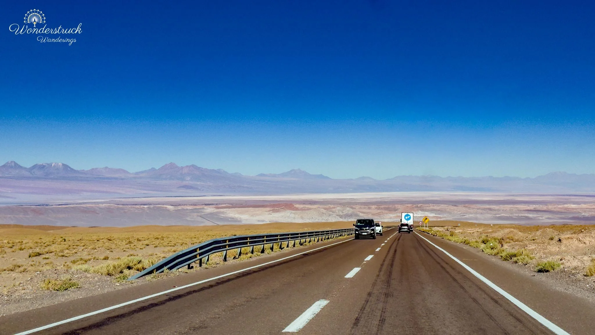
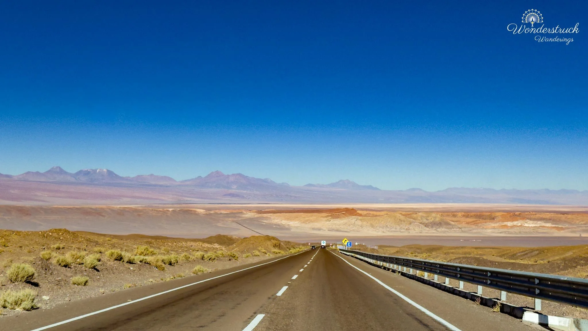
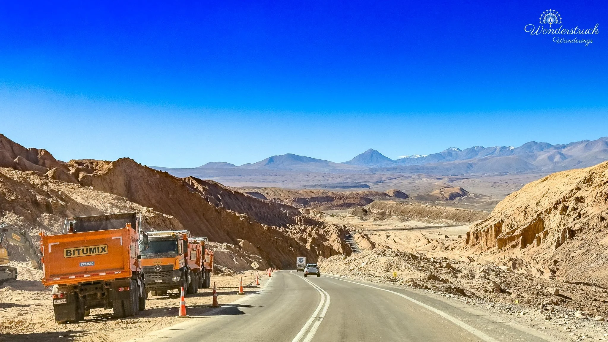
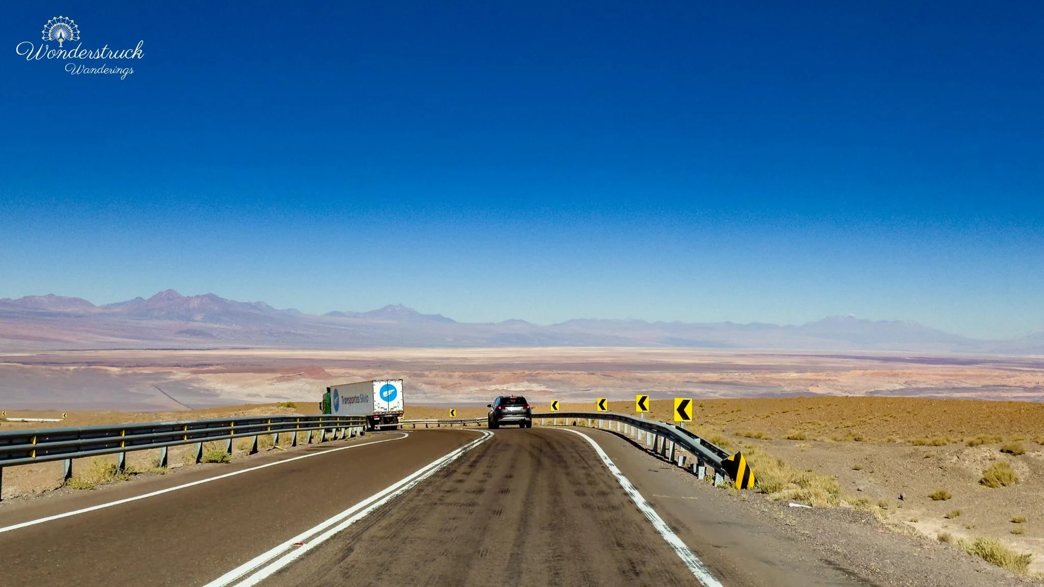
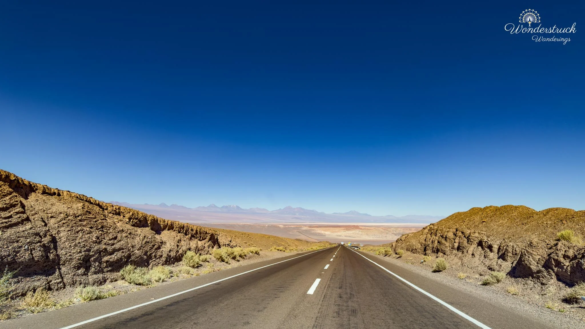
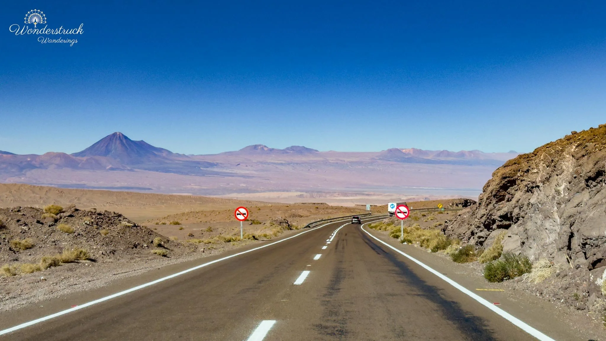
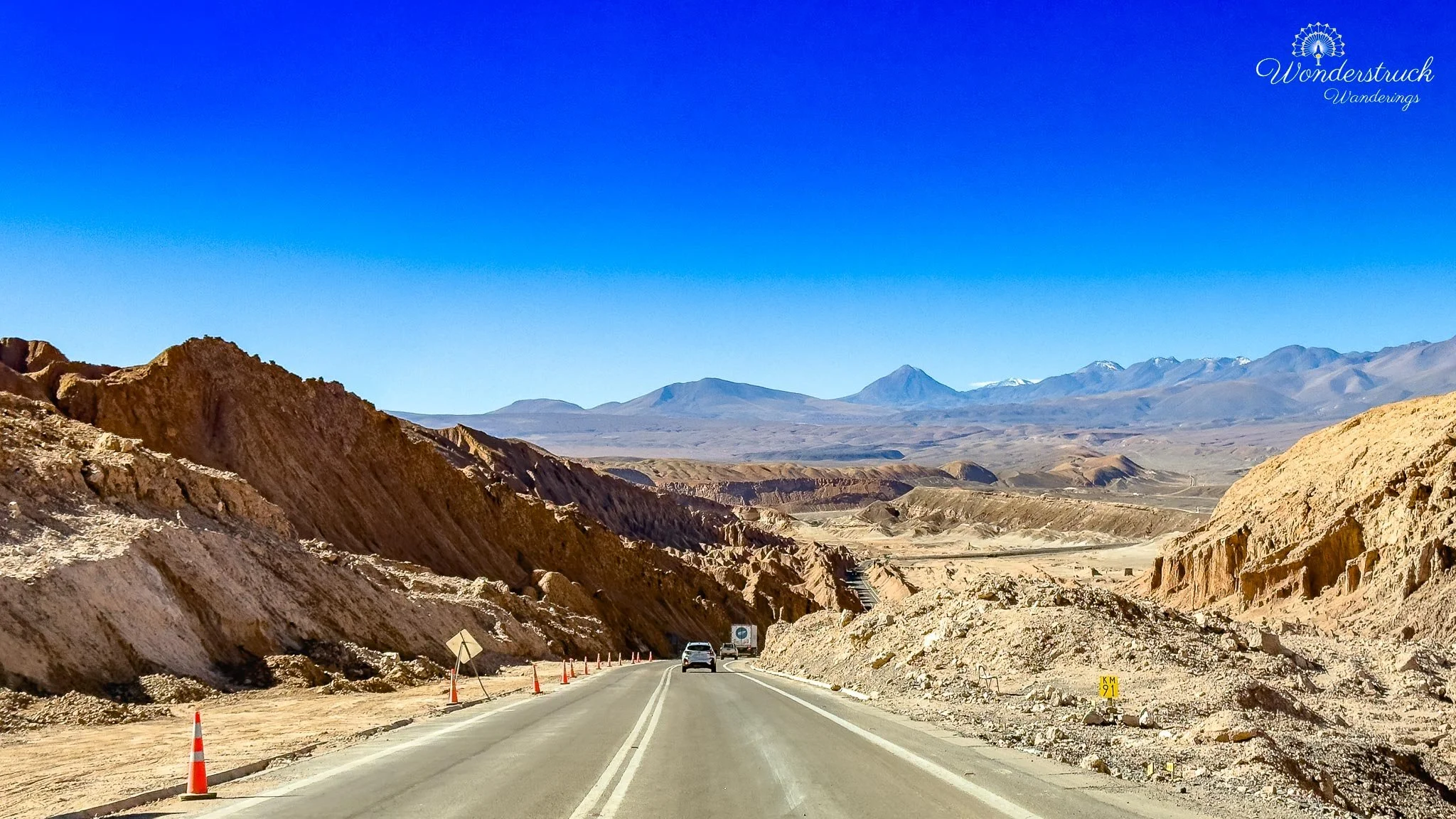
After breakfast, we decided to head toward Rainbow Valley, or Valle del Arcoíris, one of the easier half-day drives from San Pedro de Atacama. The valley sits northwest of town in the Domeyko / Cordillera de la Sal desert landscape, roughly 50 to 60 kilometers from San Pedro depending on the route and stops. San Pedro itself sits around 2,400 meters, and Rainbow Valley is in a similar desert-altitude zone, generally around the 2,500 to 2,800-meter range, so it does not have the same altitude shock as El Tatio or the Altiplanic Lagoons. After several days above 4,000 meters, that alone made the morning feel more relaxed. The drive begins by leaving San Pedro toward Calama on Ruta 23, the same broad desert road that eventually connects back toward the airport and mining region. After about 25 to 30 kilometers, the route turns off toward Valle del Arcoíris and Yerbas Buenas, with the dirt access road becoming the main way into the area. The signage was fairly clear, and once we were on the unpaved road, the pace naturally slowed. This is not a difficult drive in normal dry conditions, but it is still an Atacama dirt-road drive: gravel, dust, washboard sections, occasional ruts, and places where the road surface can change quickly.
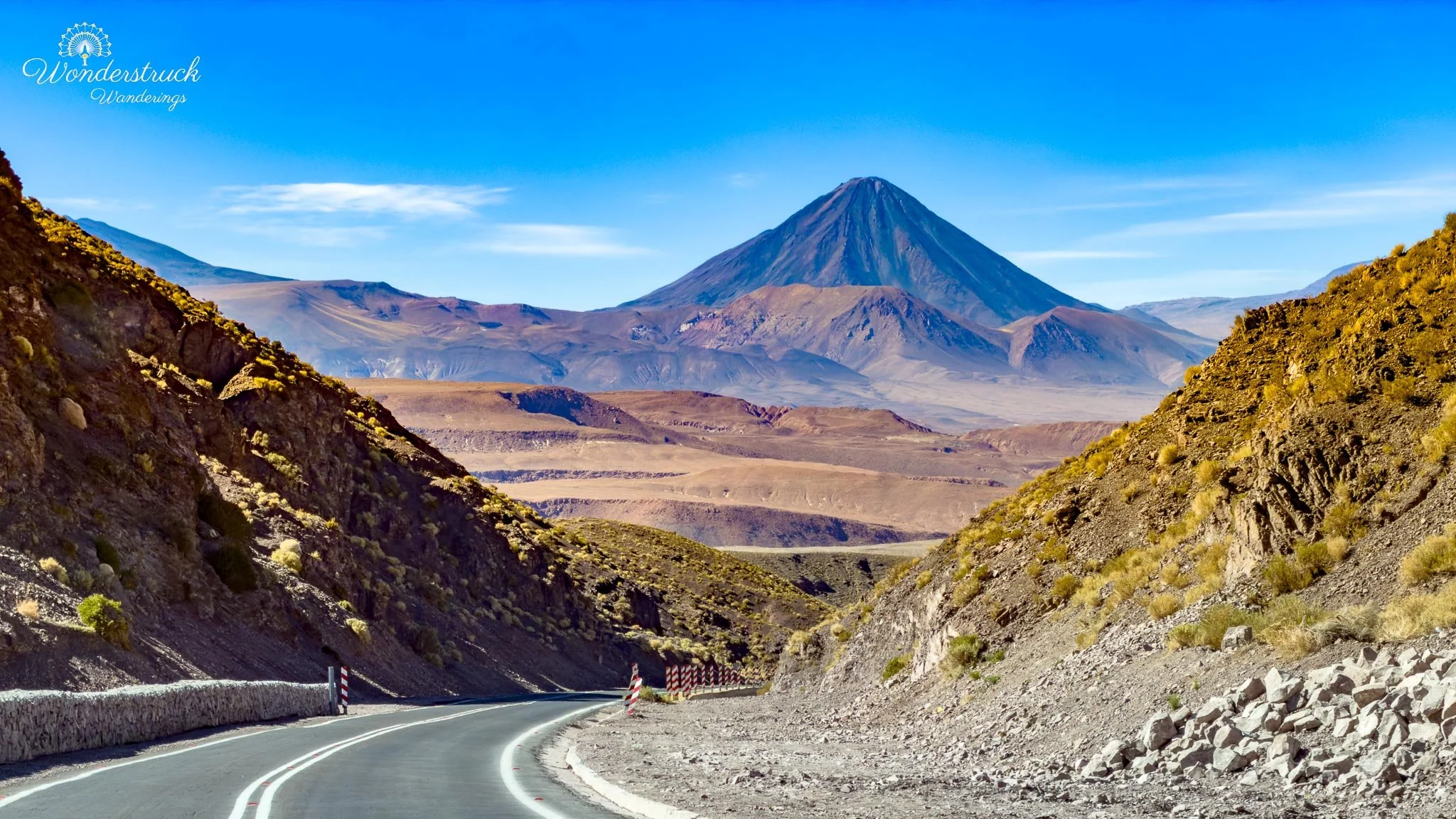
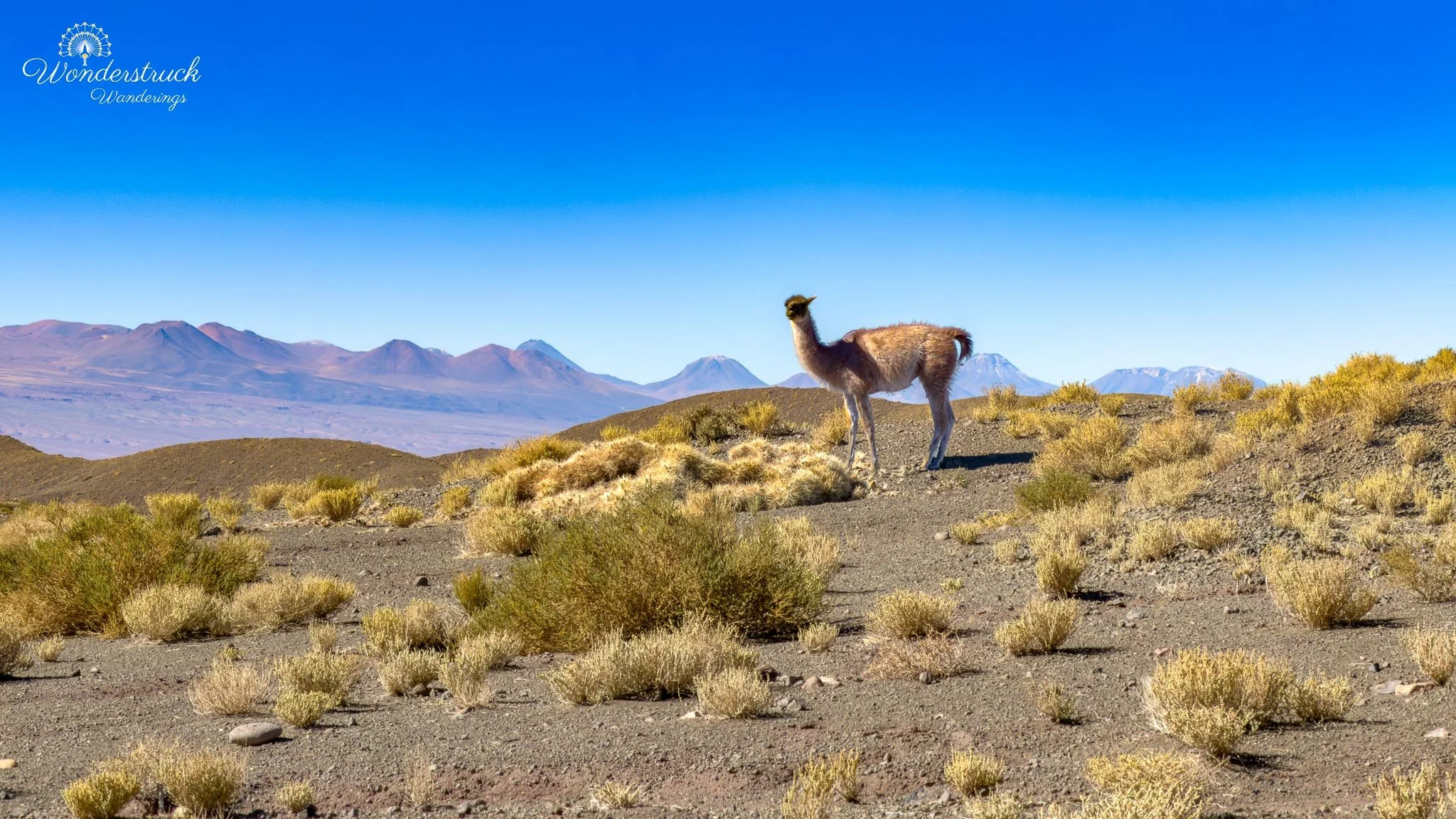
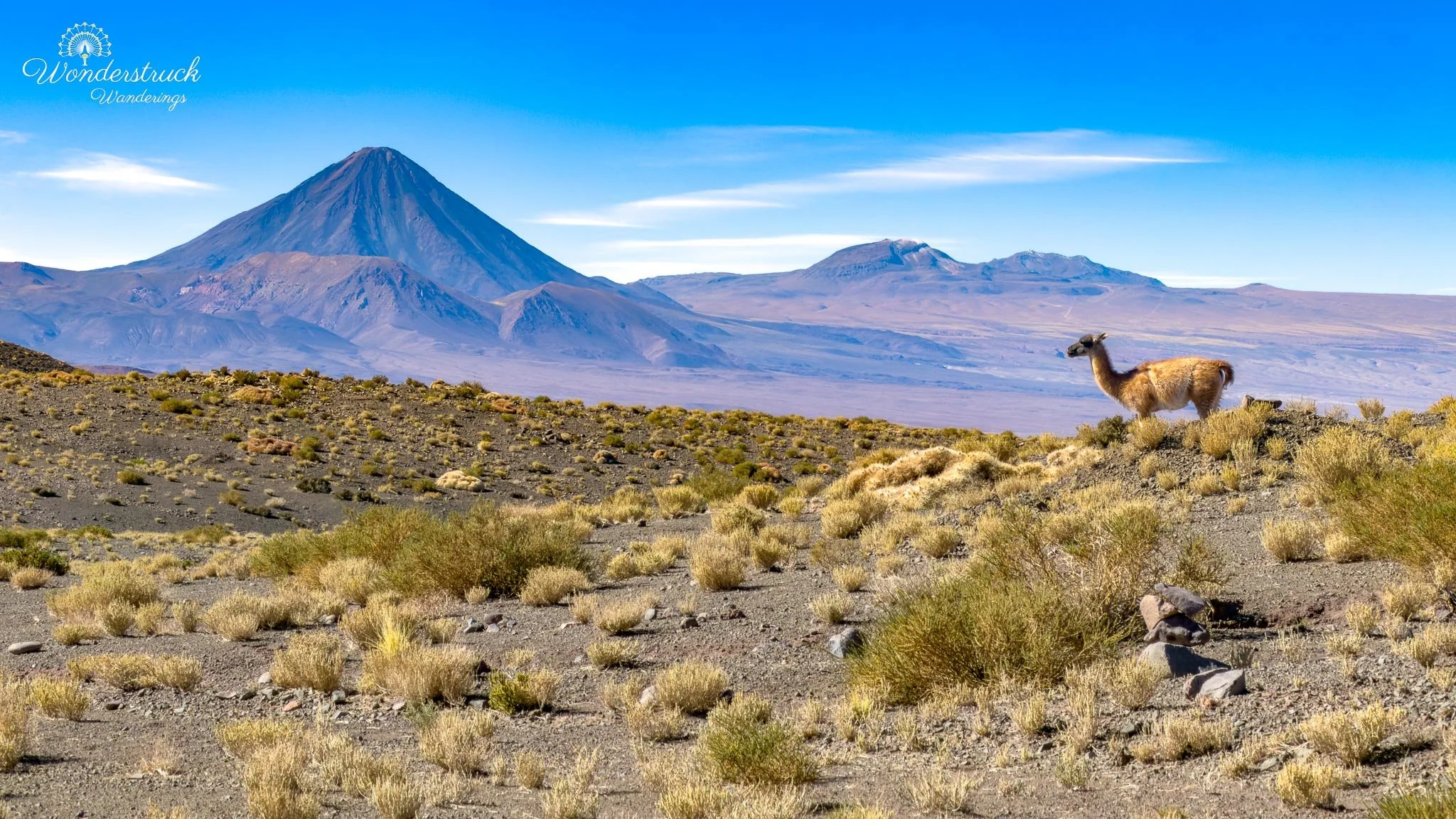
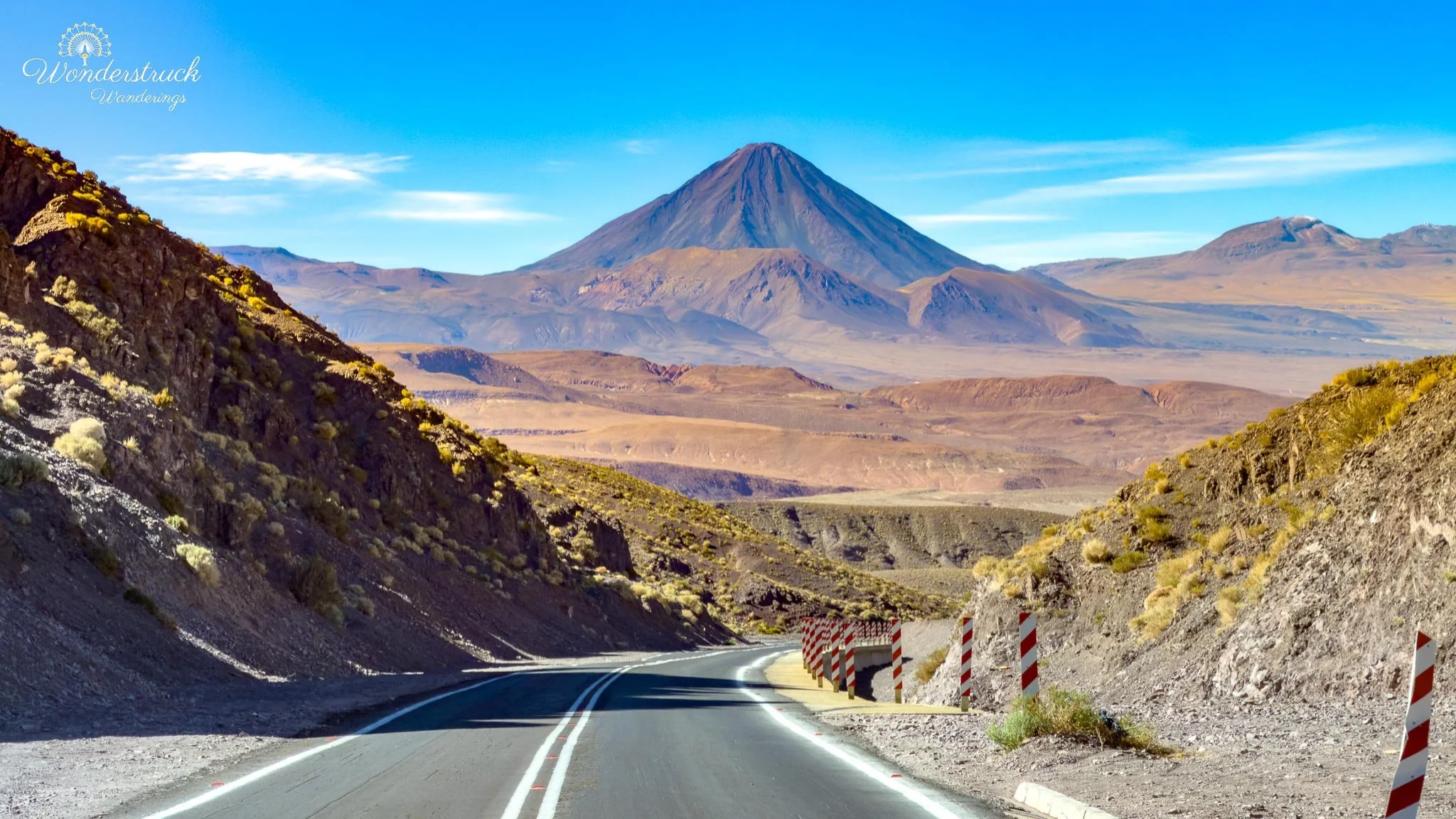
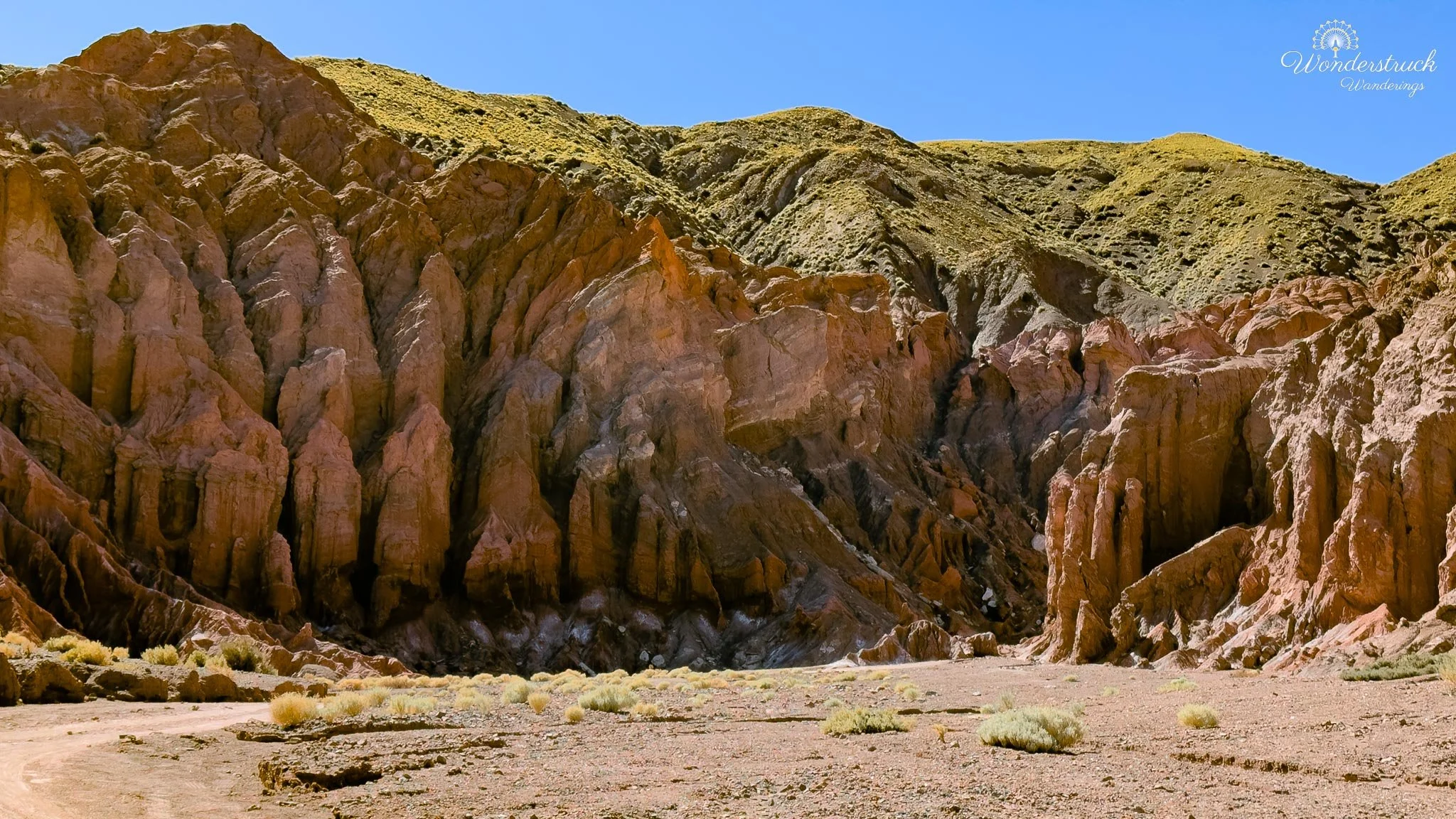
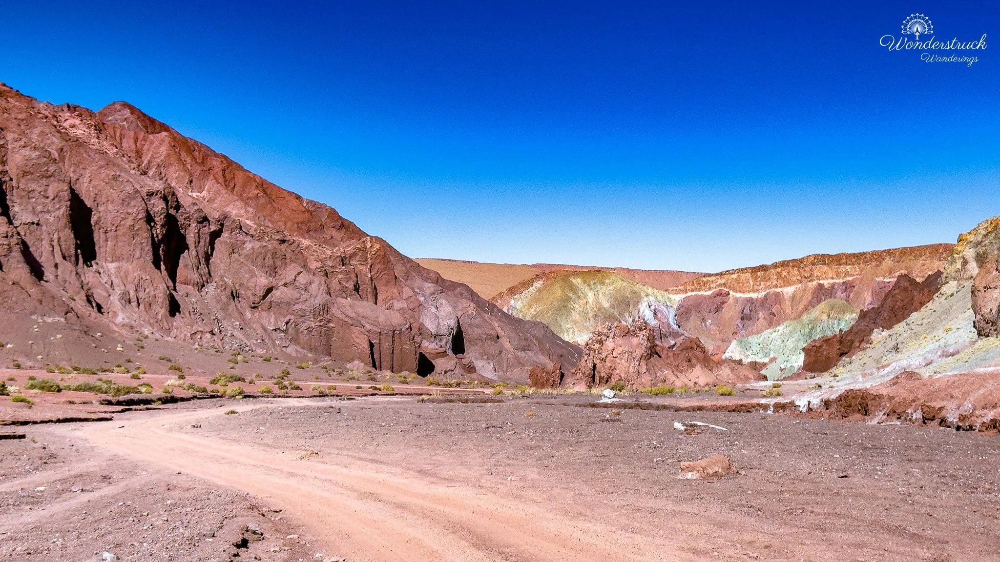
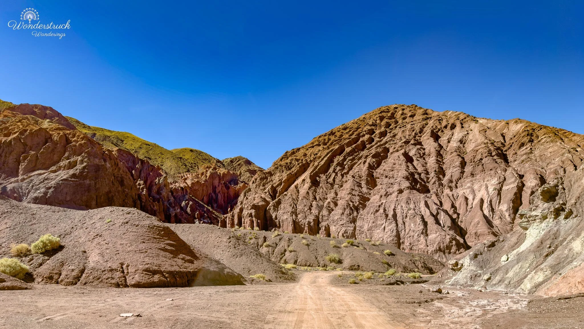
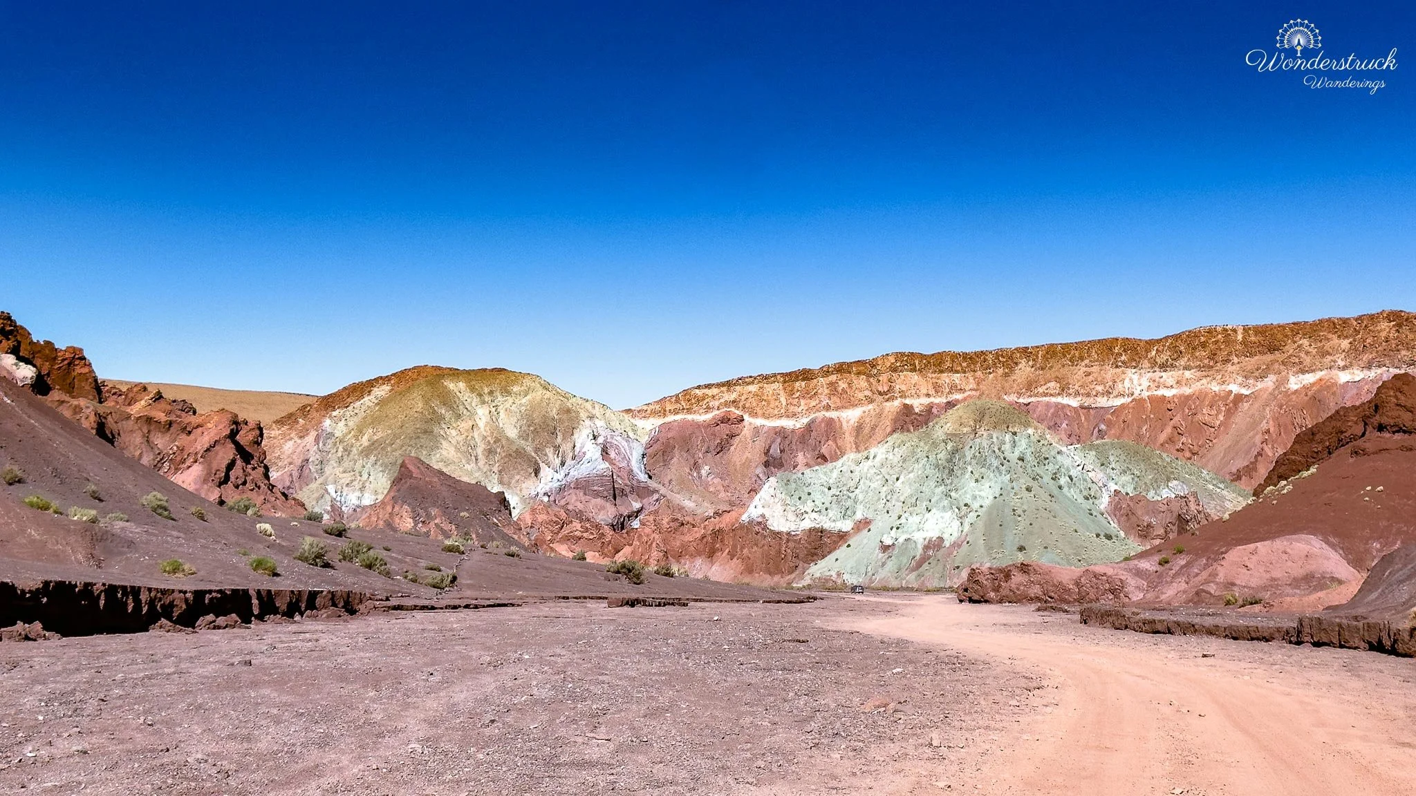
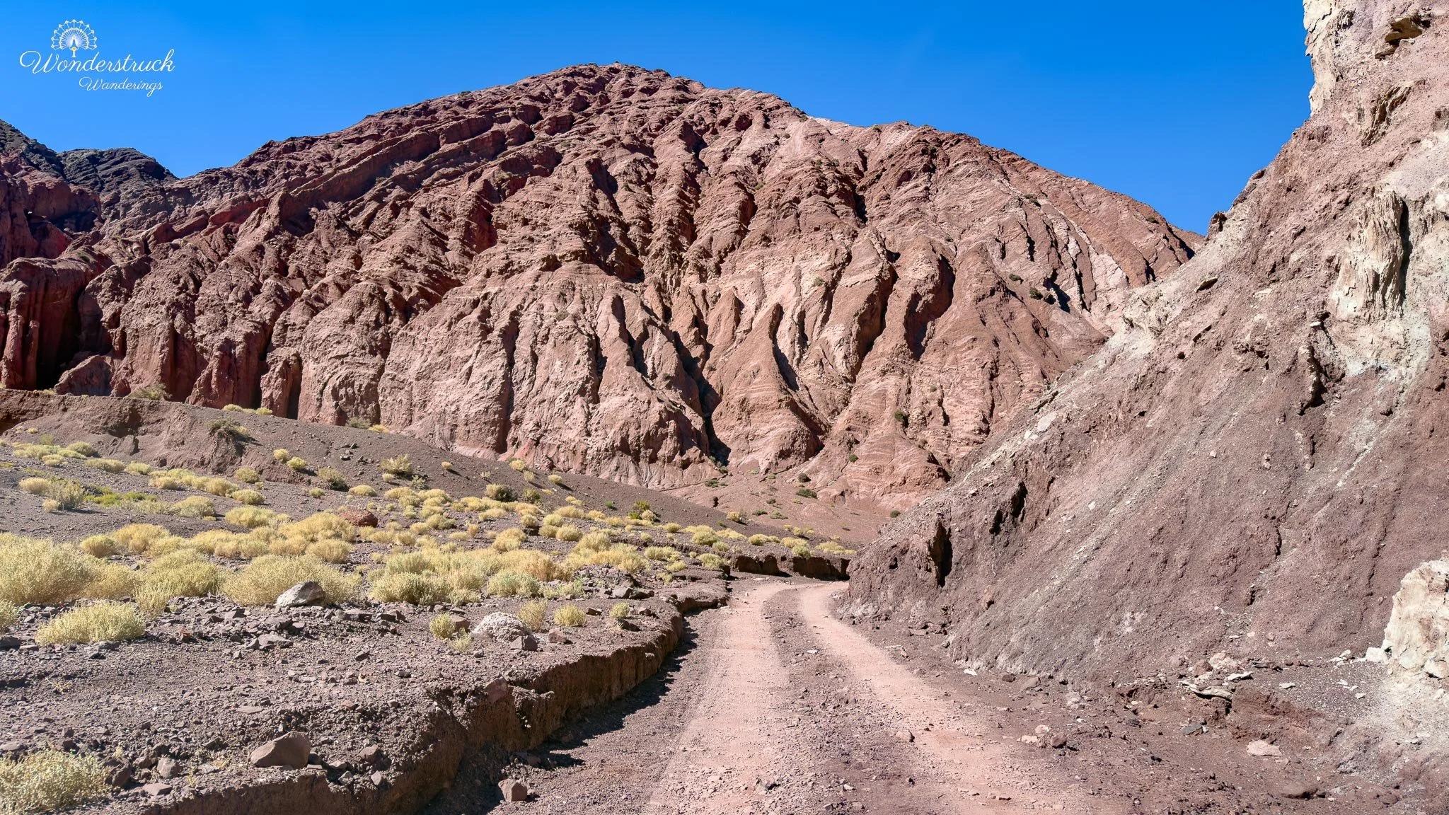
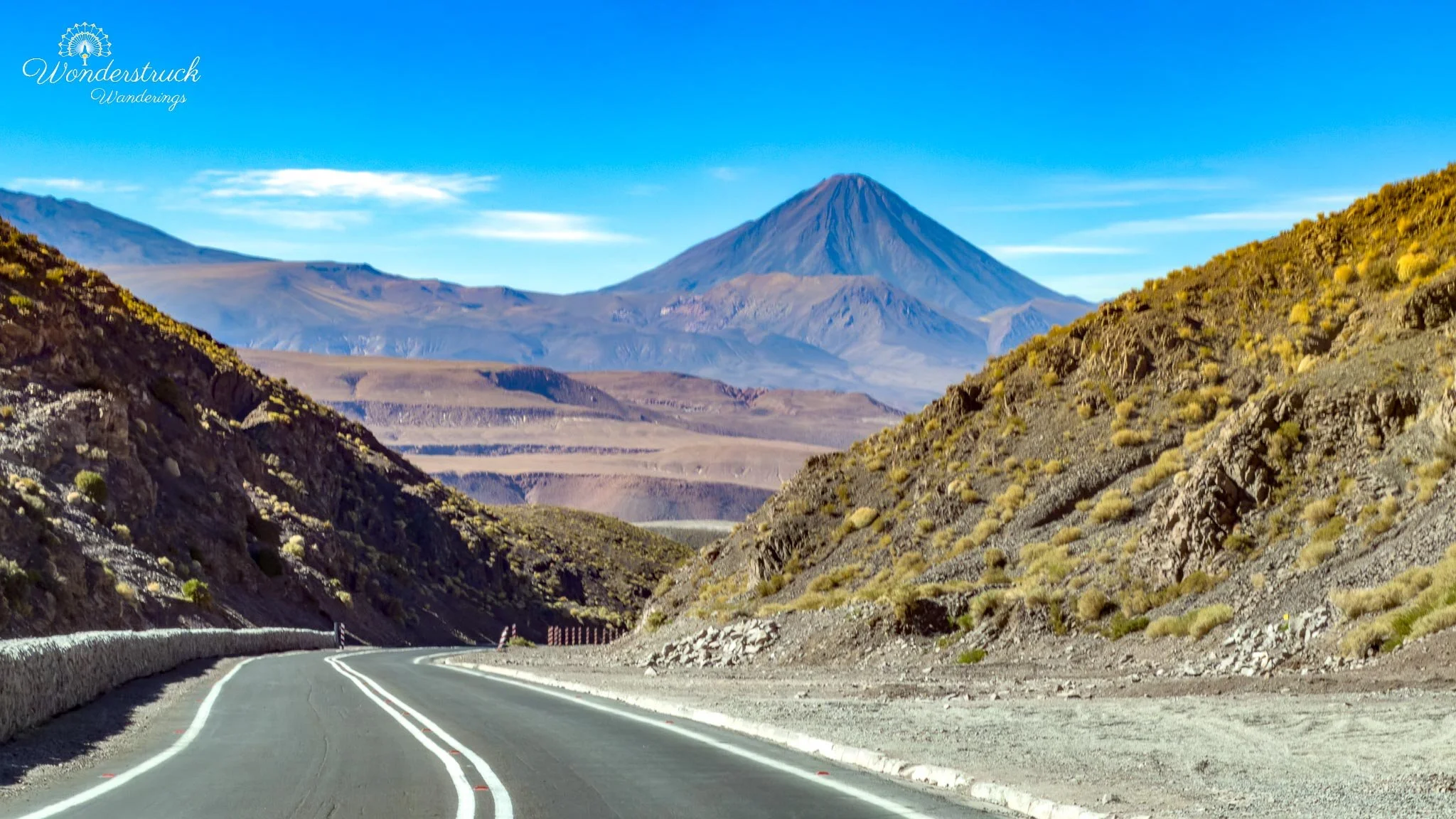
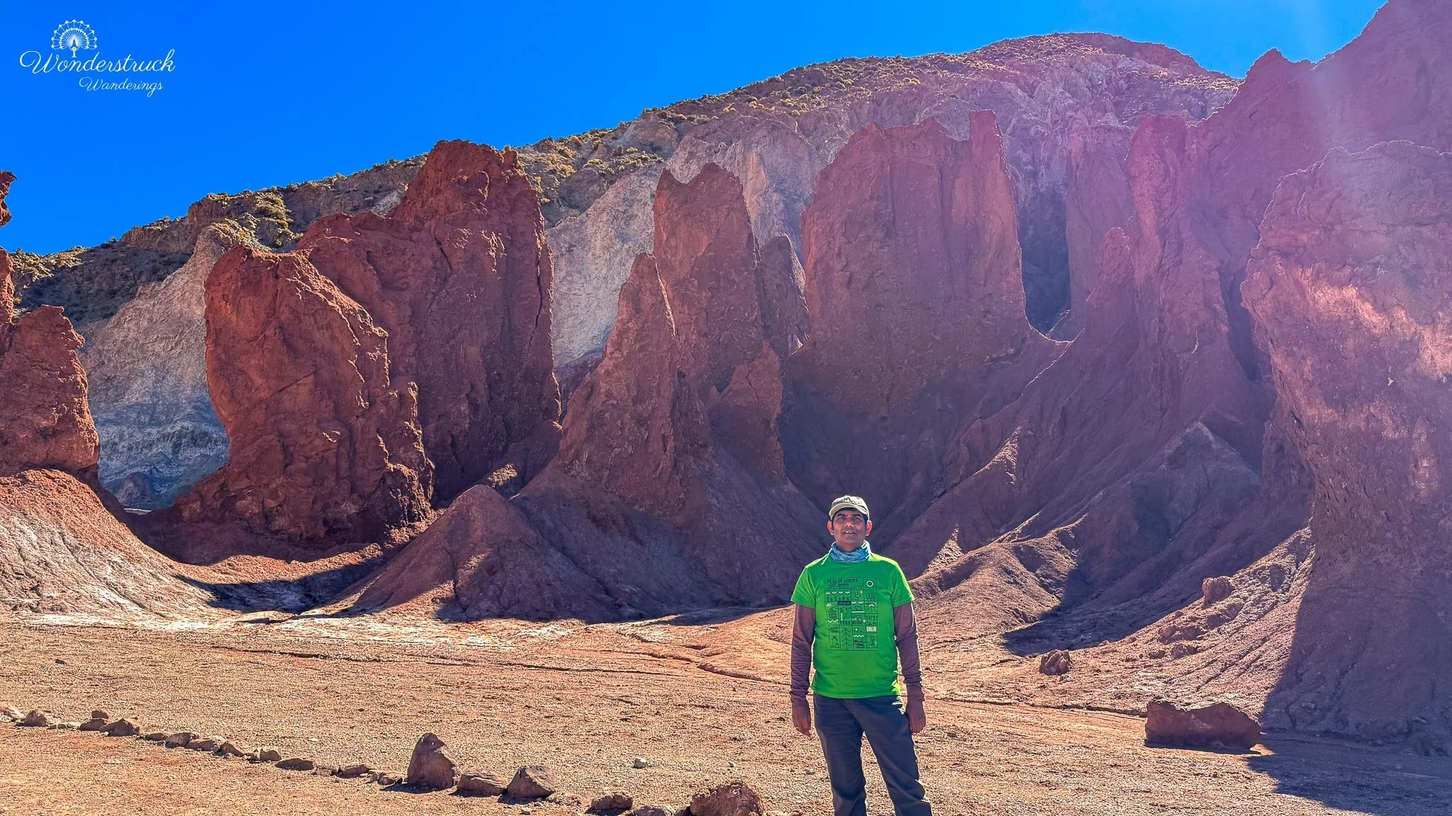
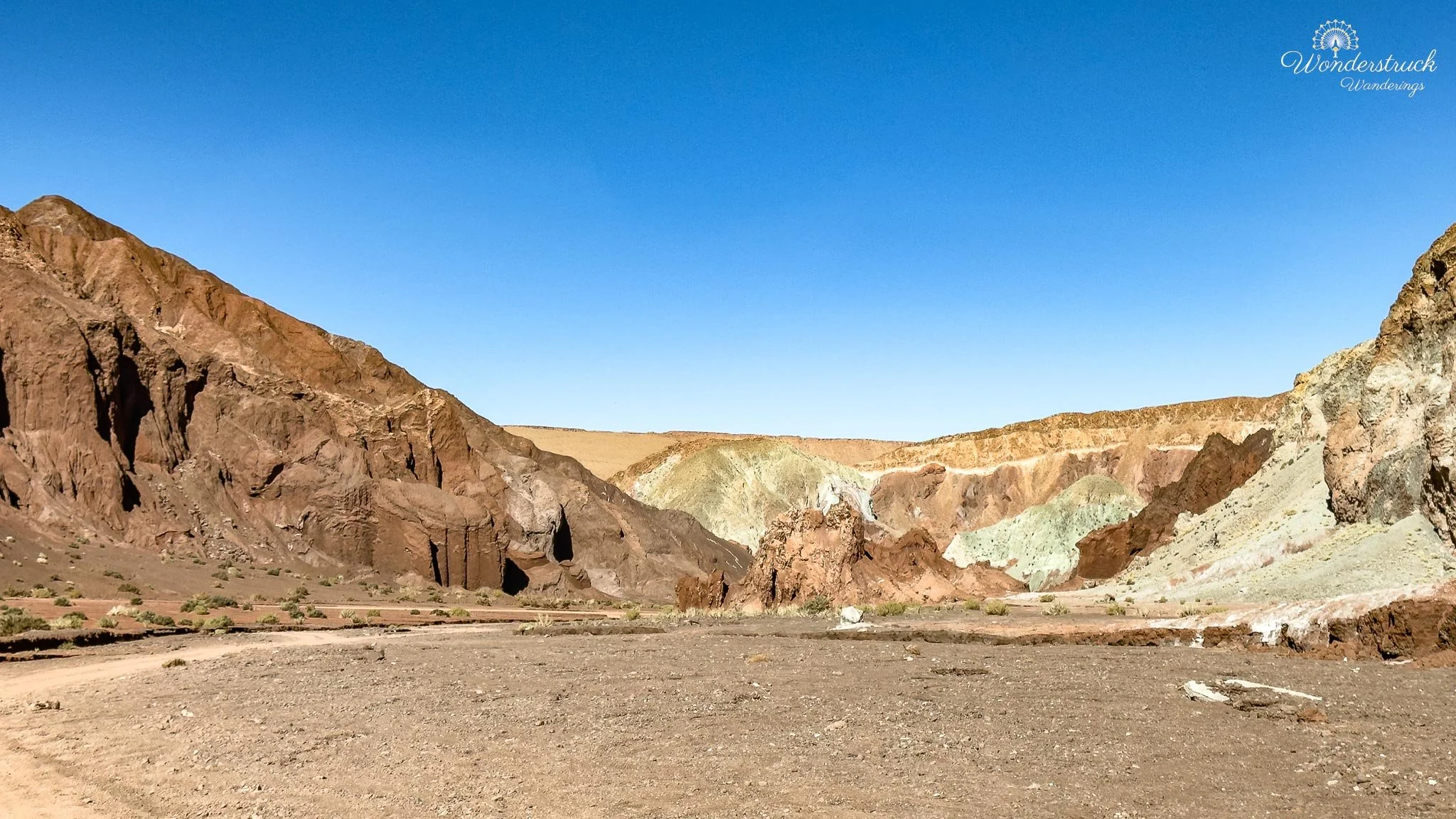
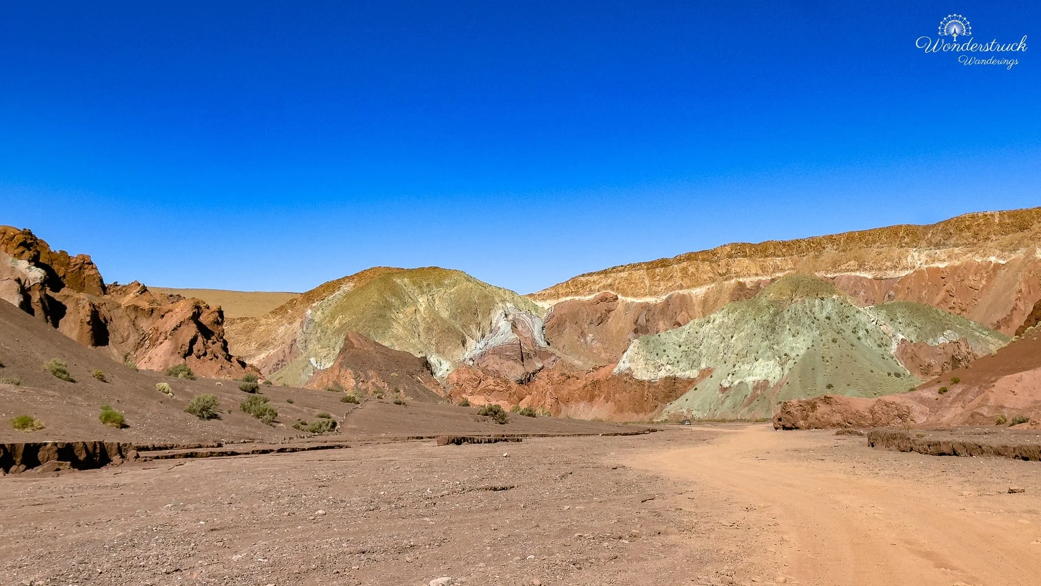
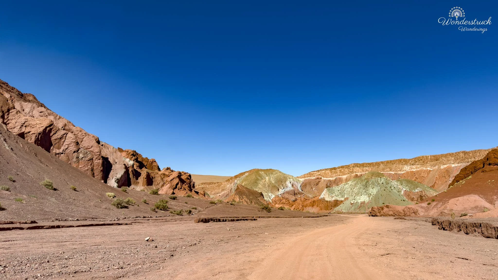
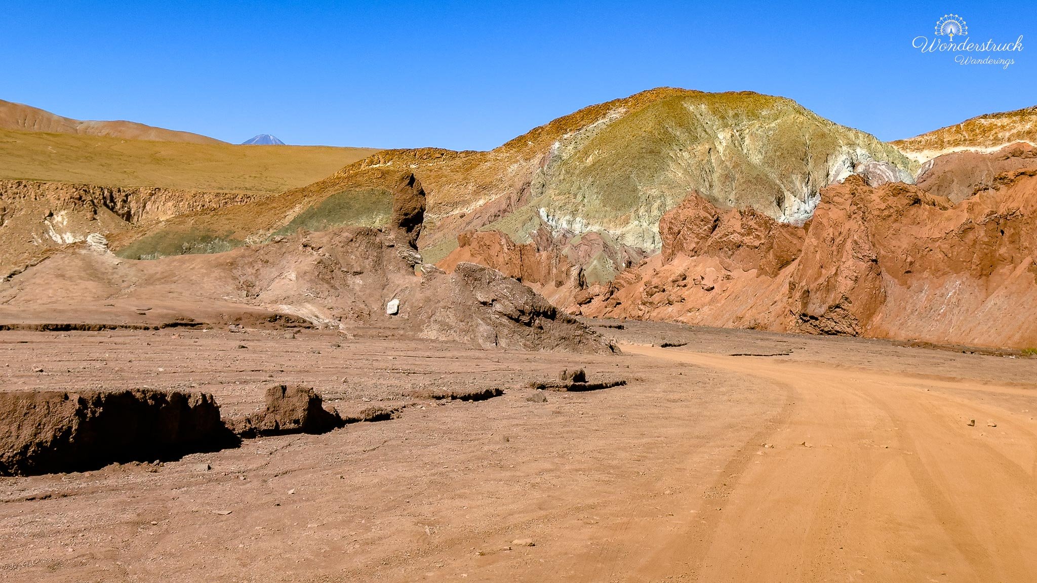
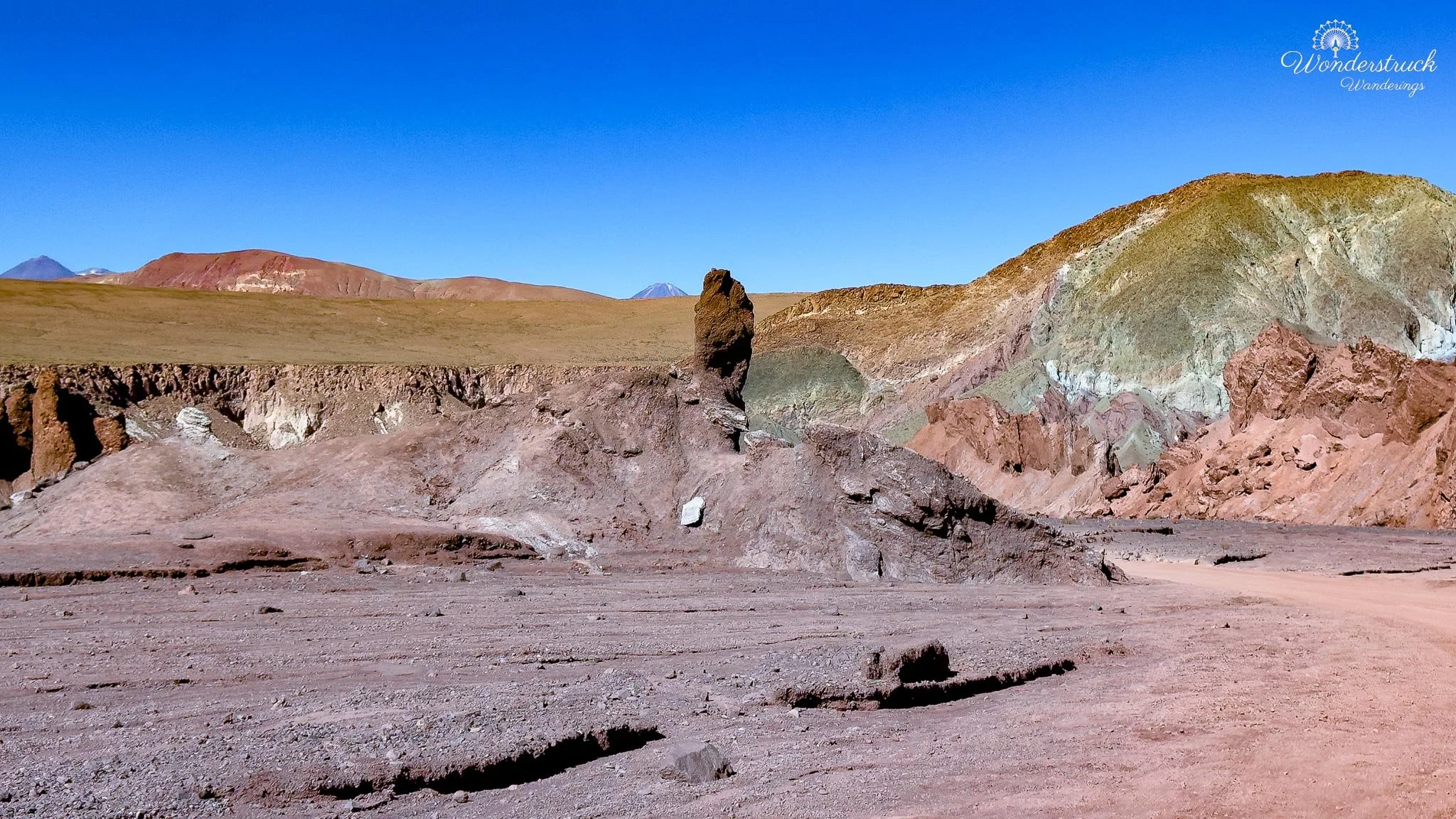
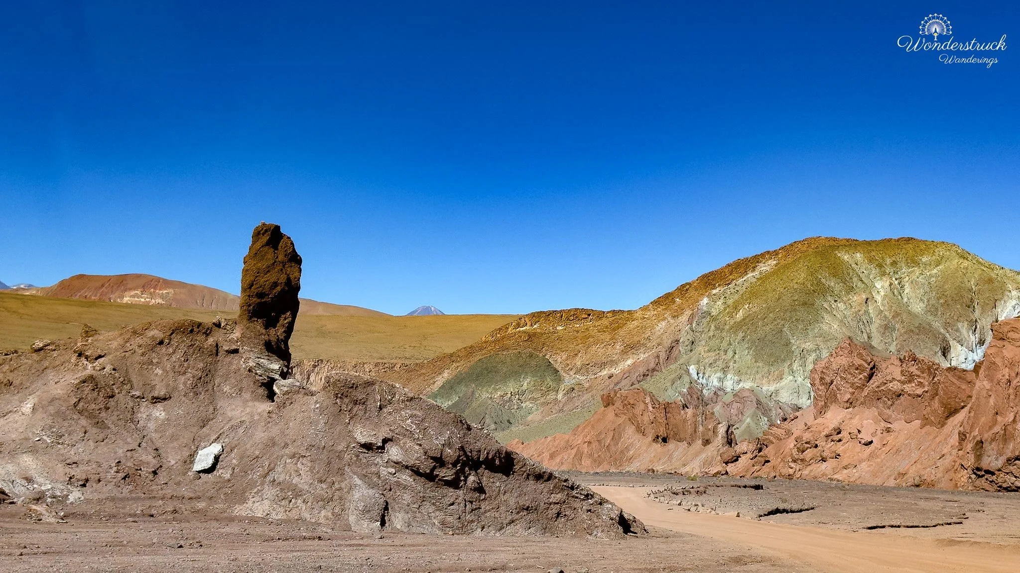
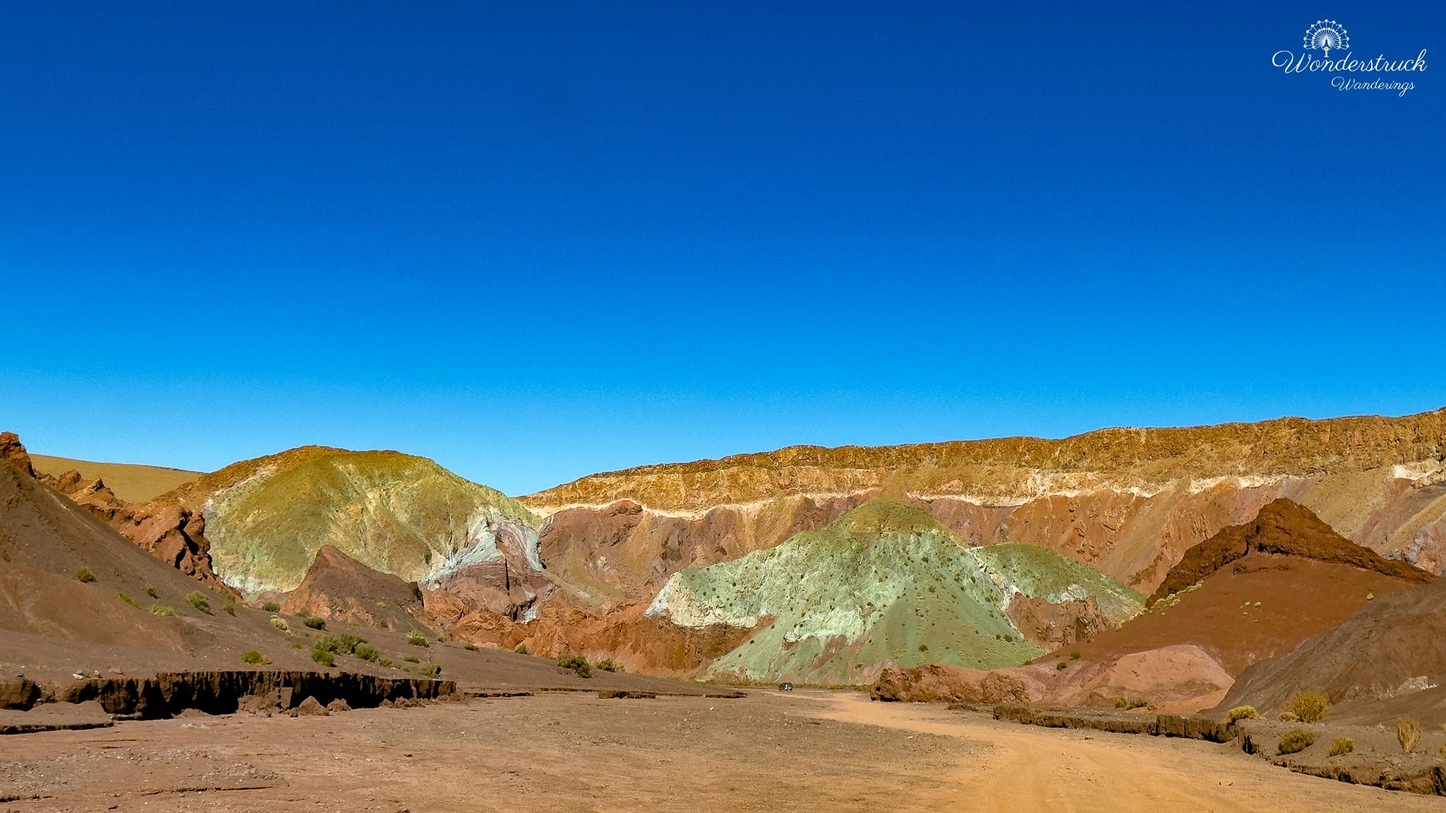
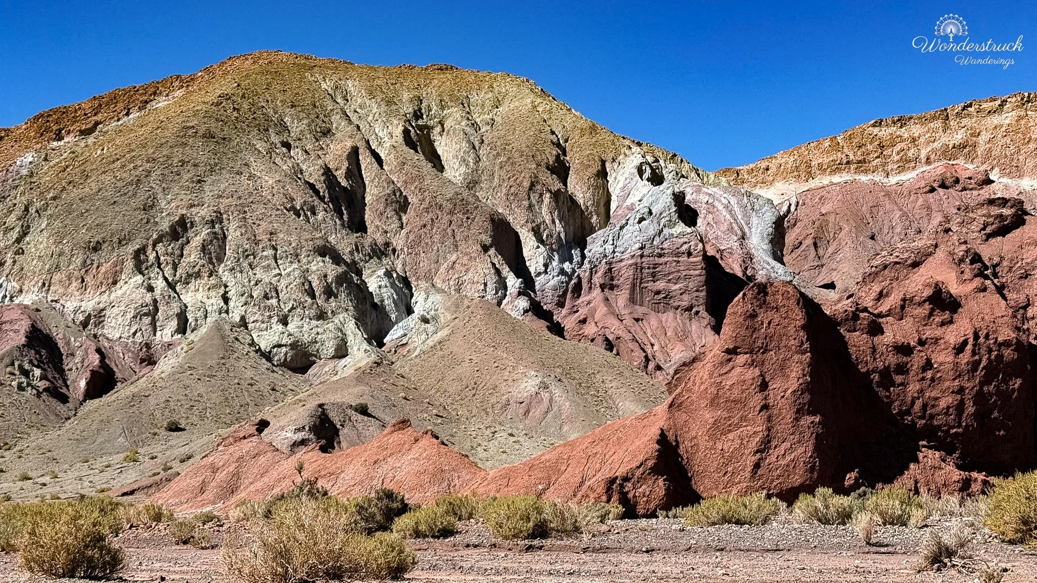
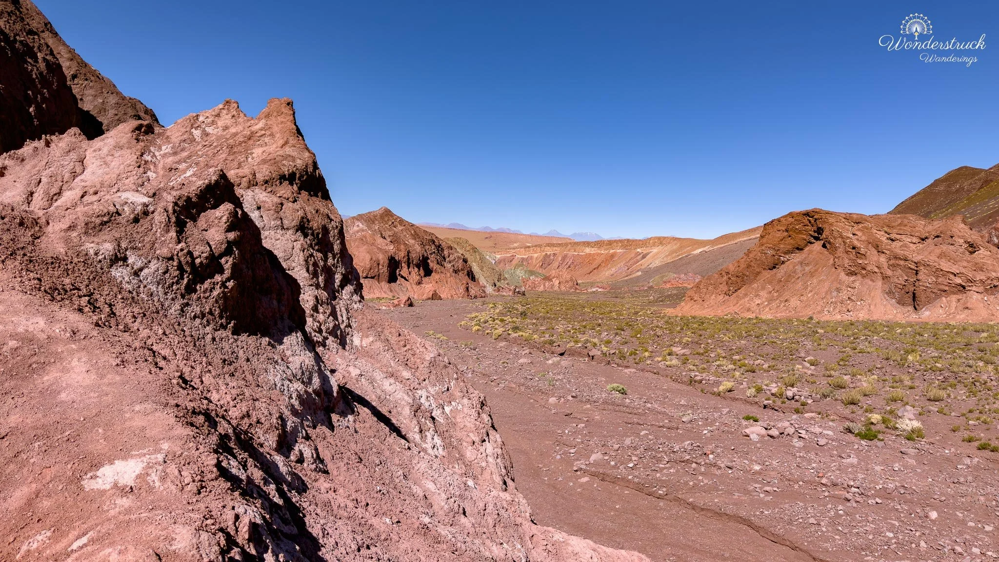
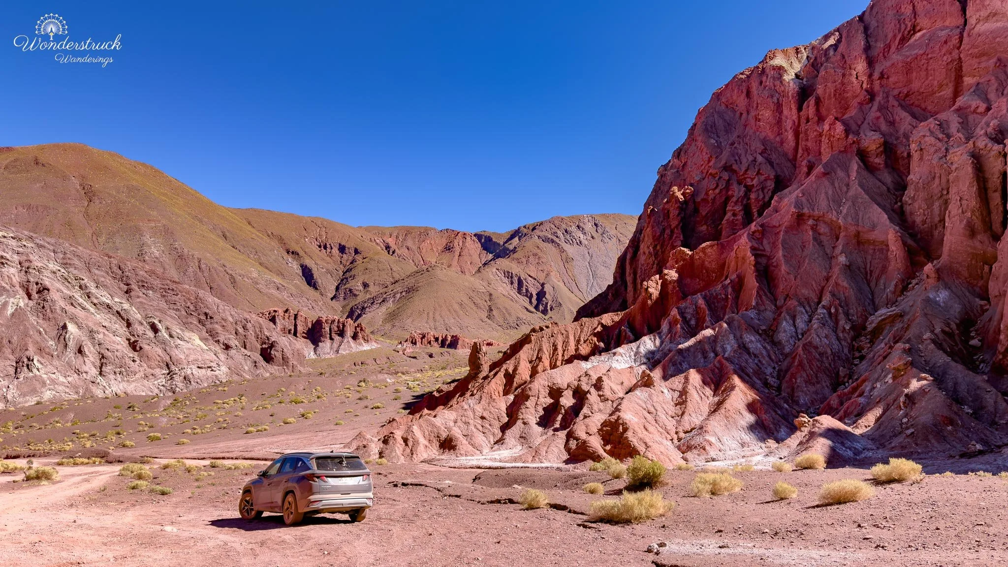
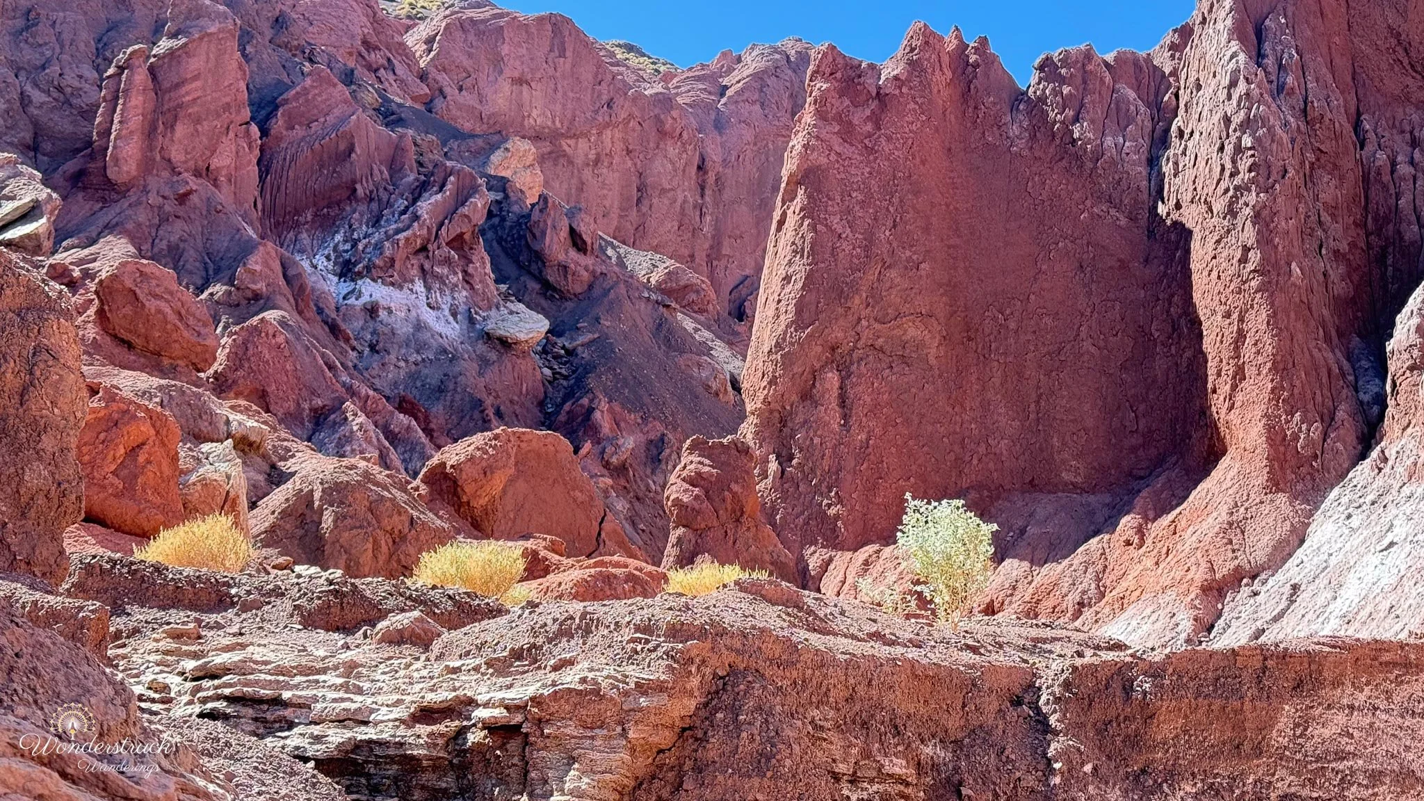
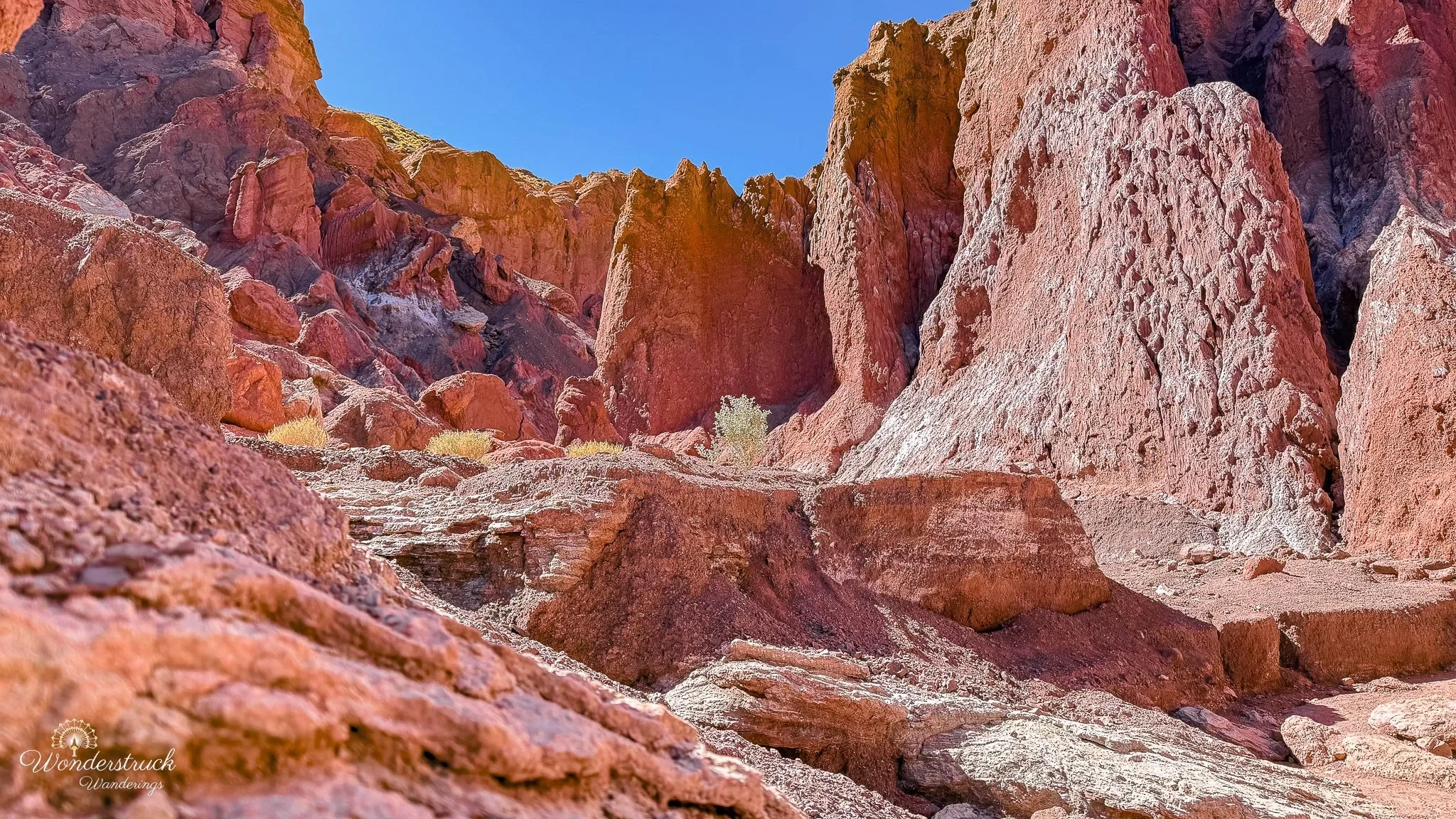
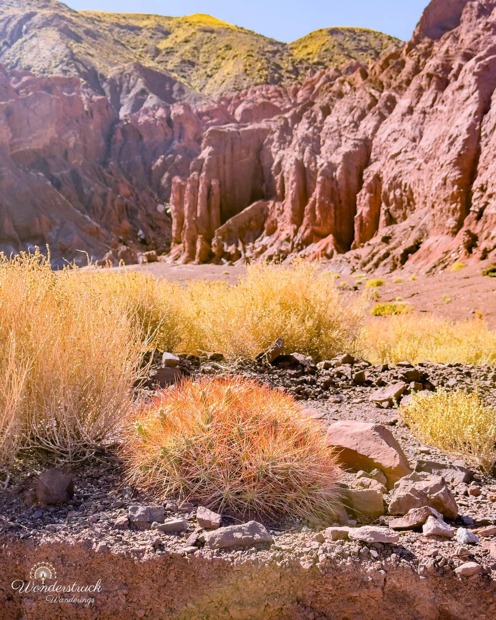
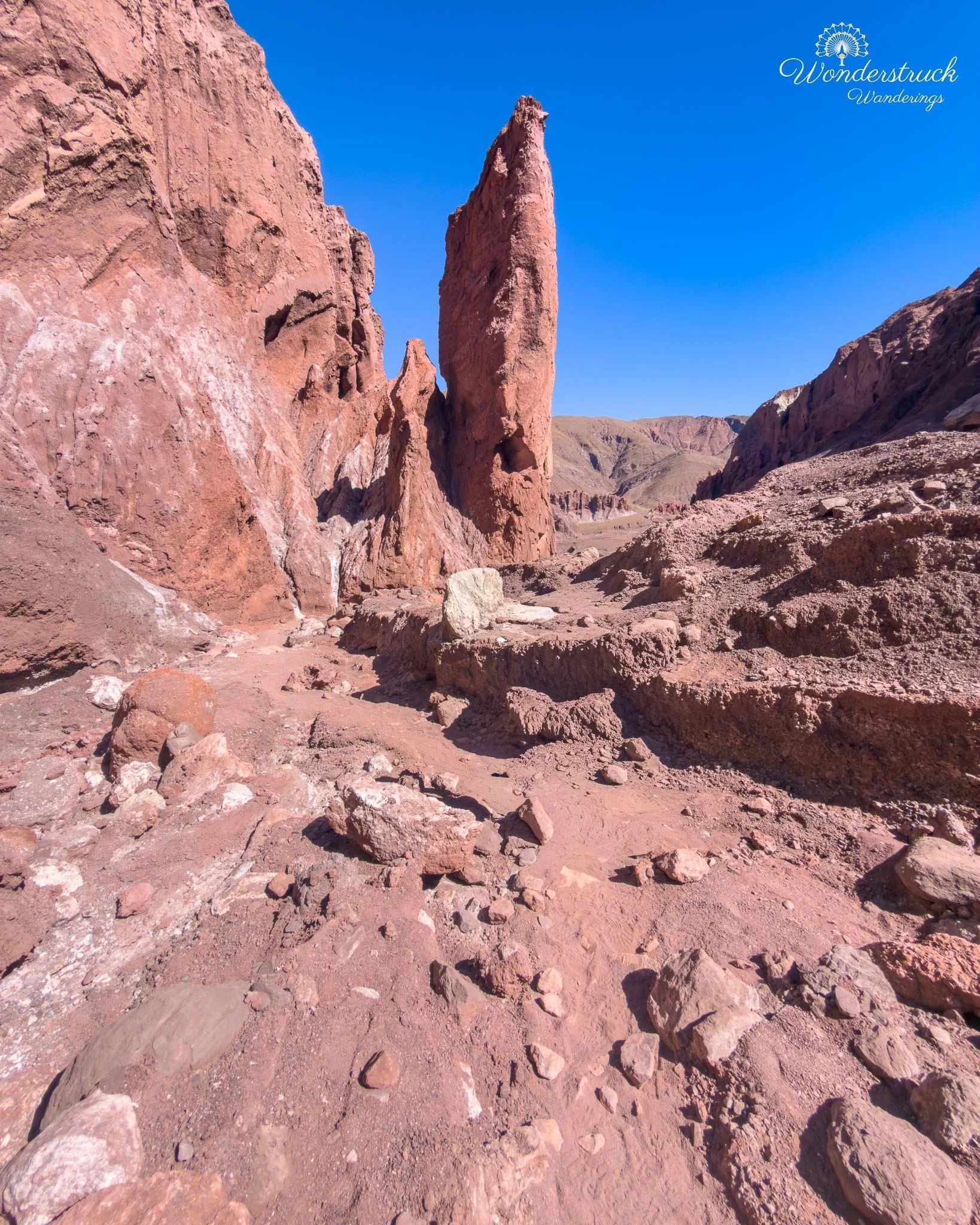
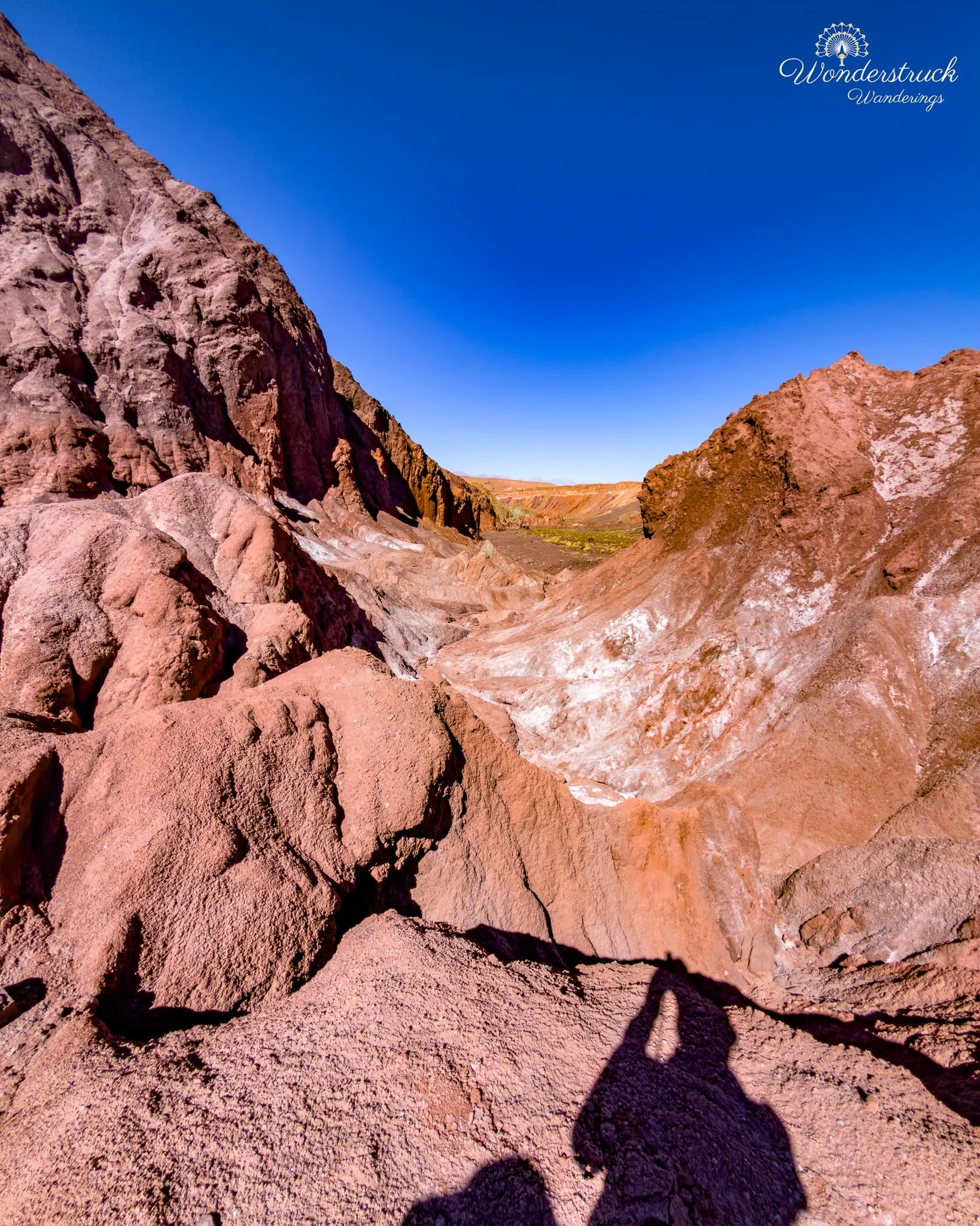
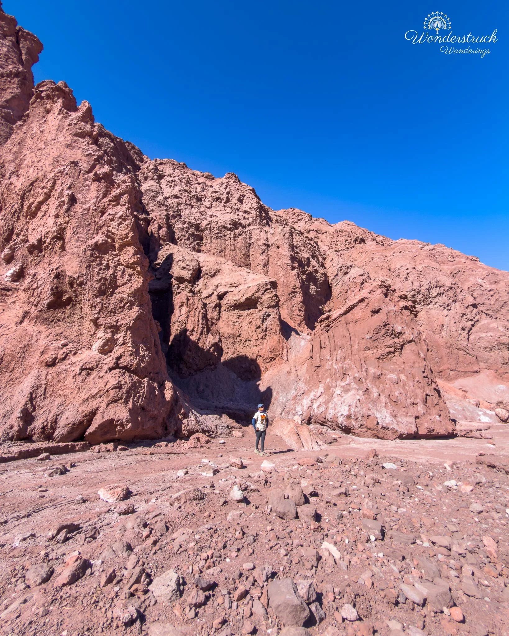
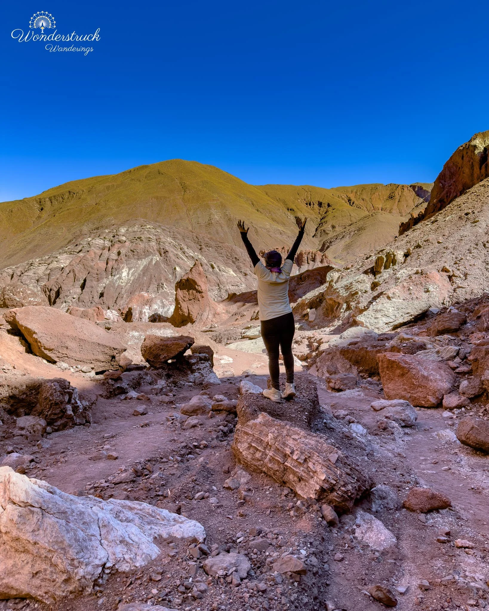
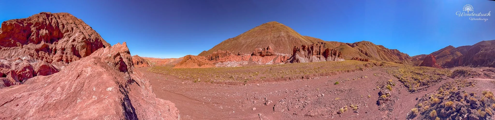
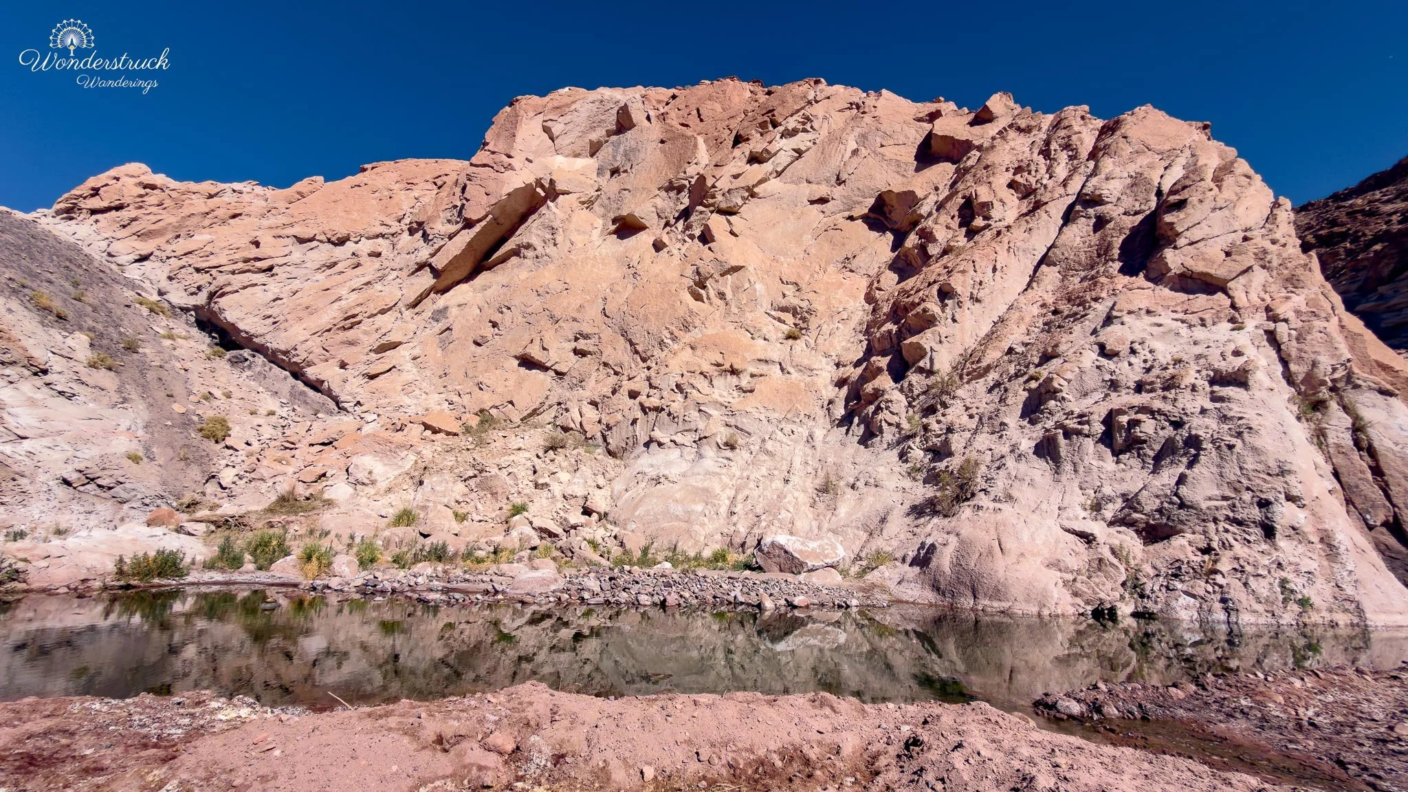
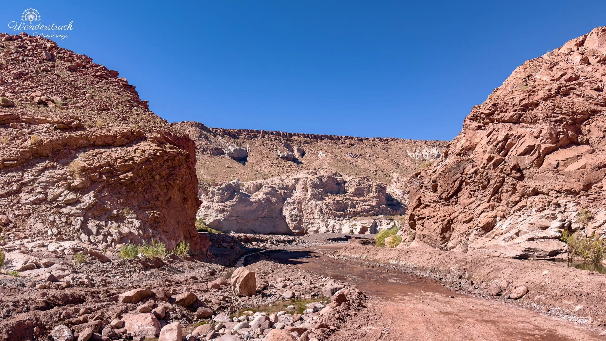
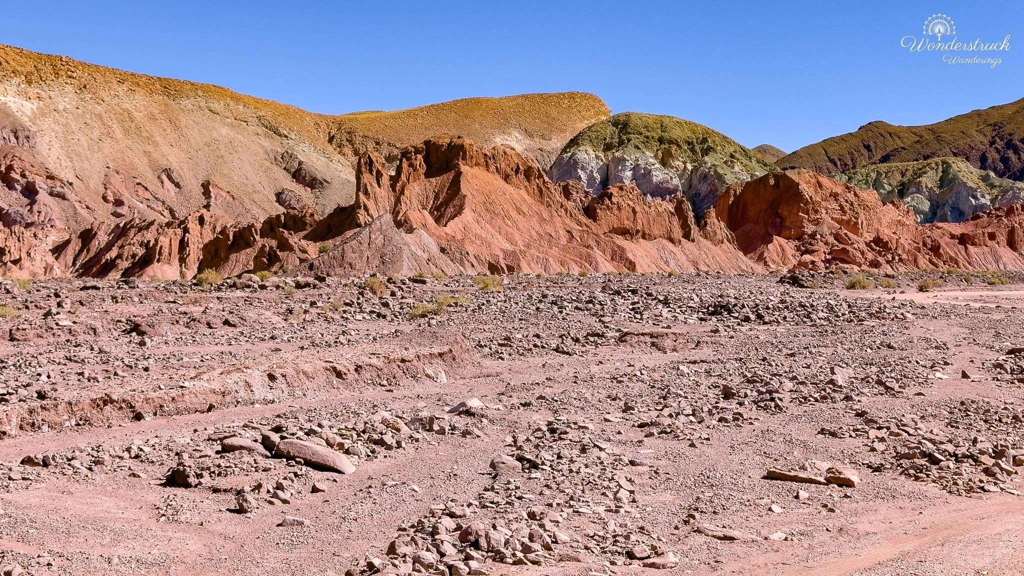
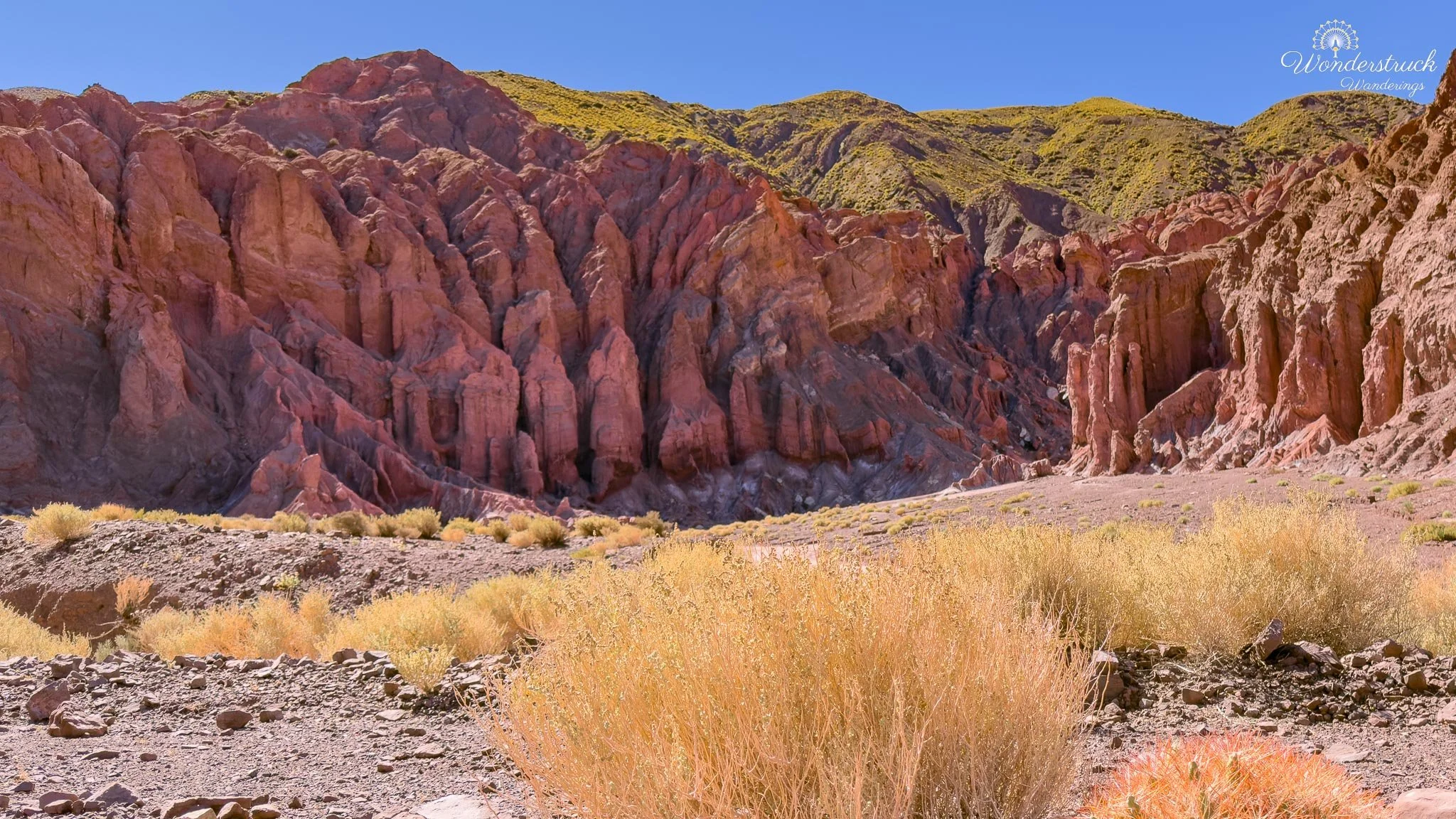
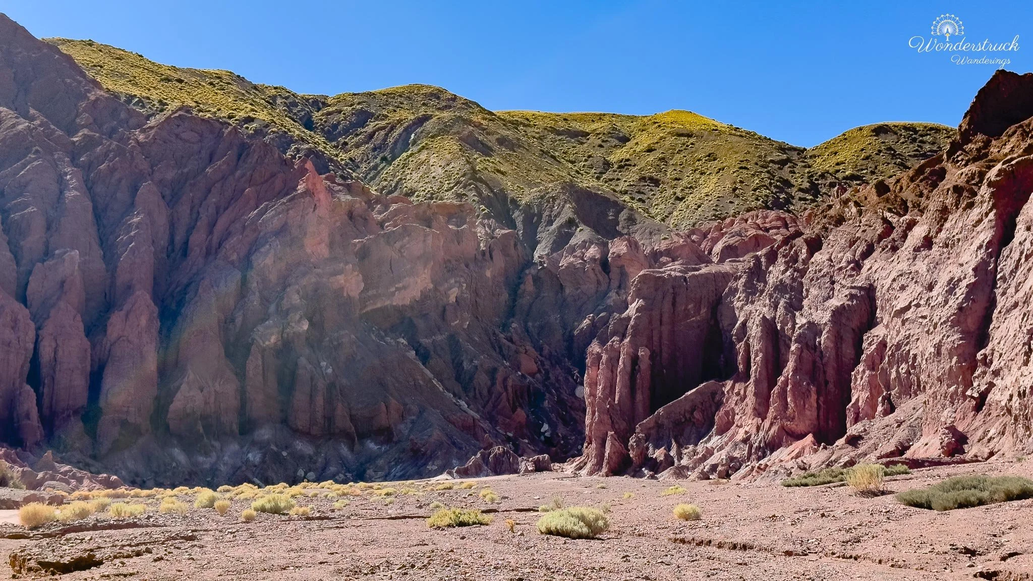
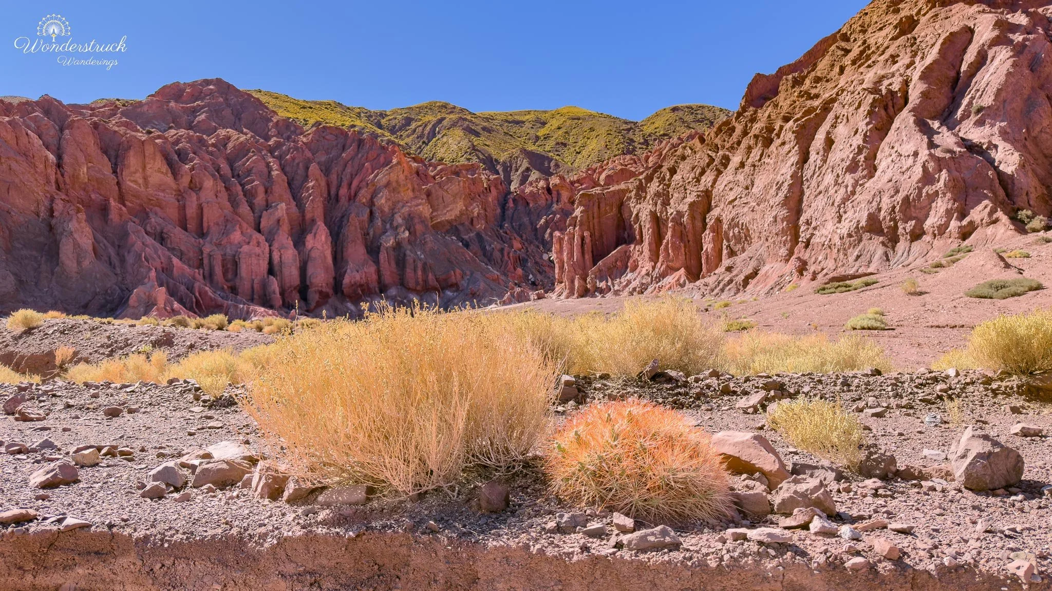
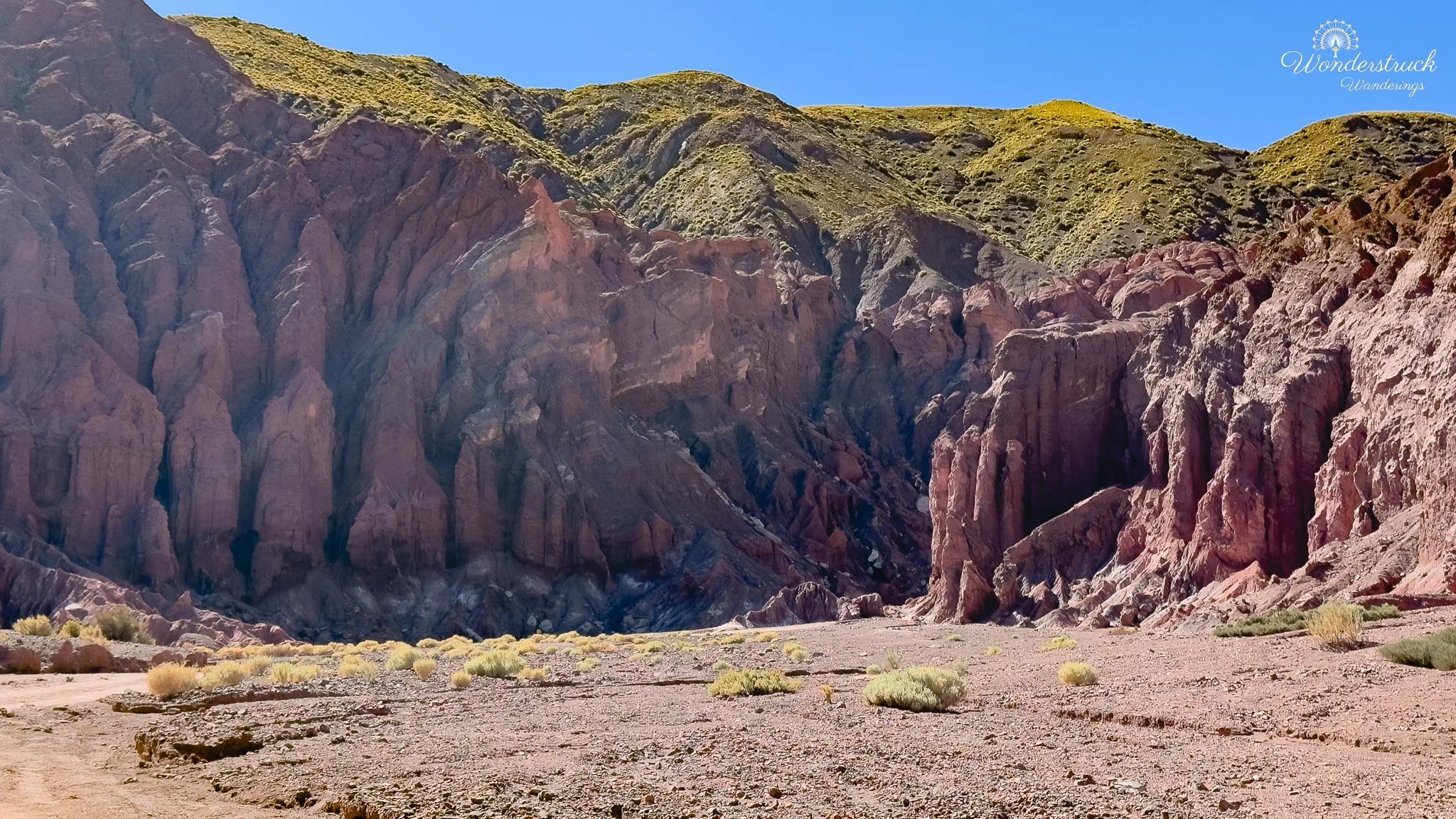
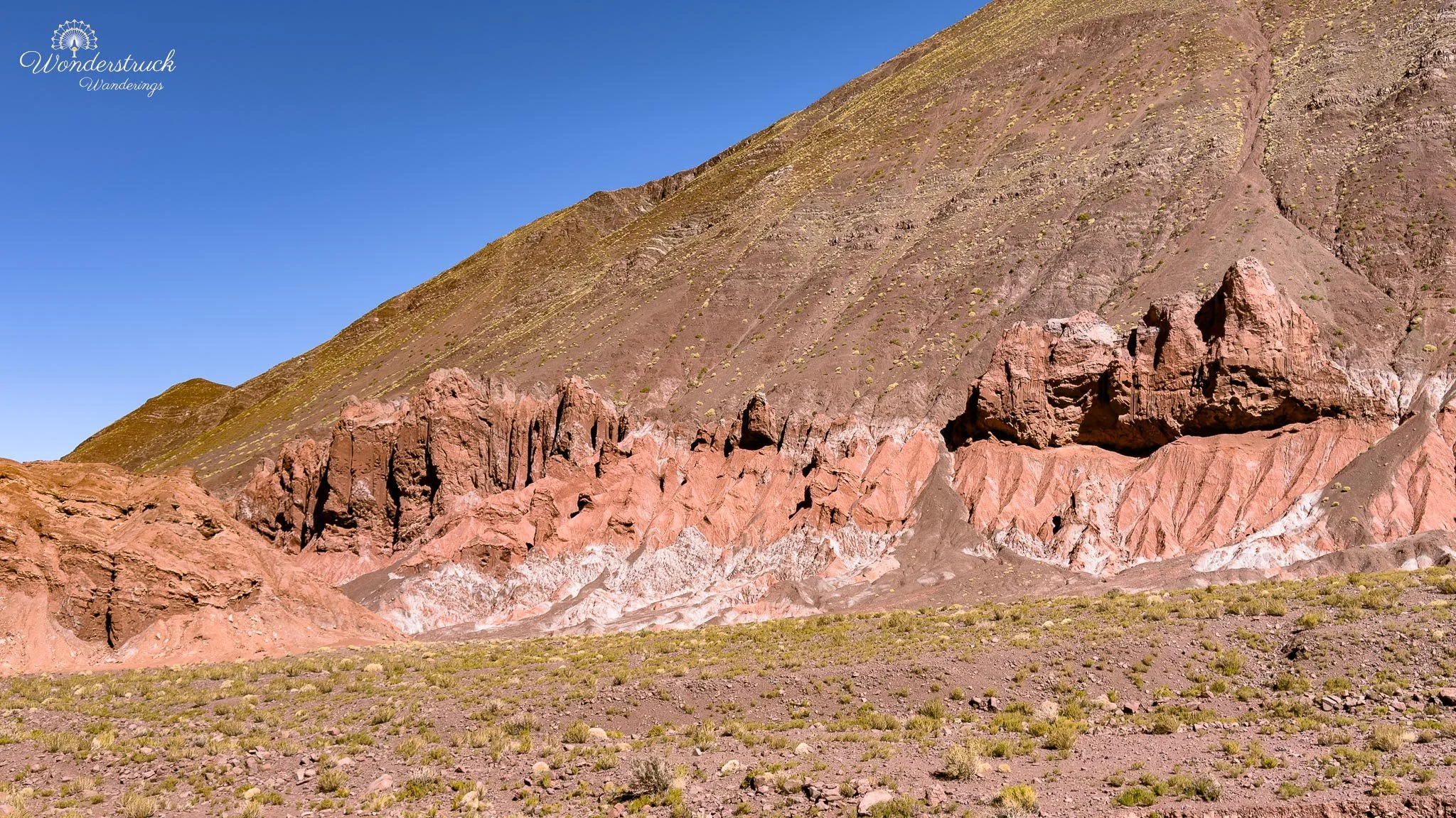
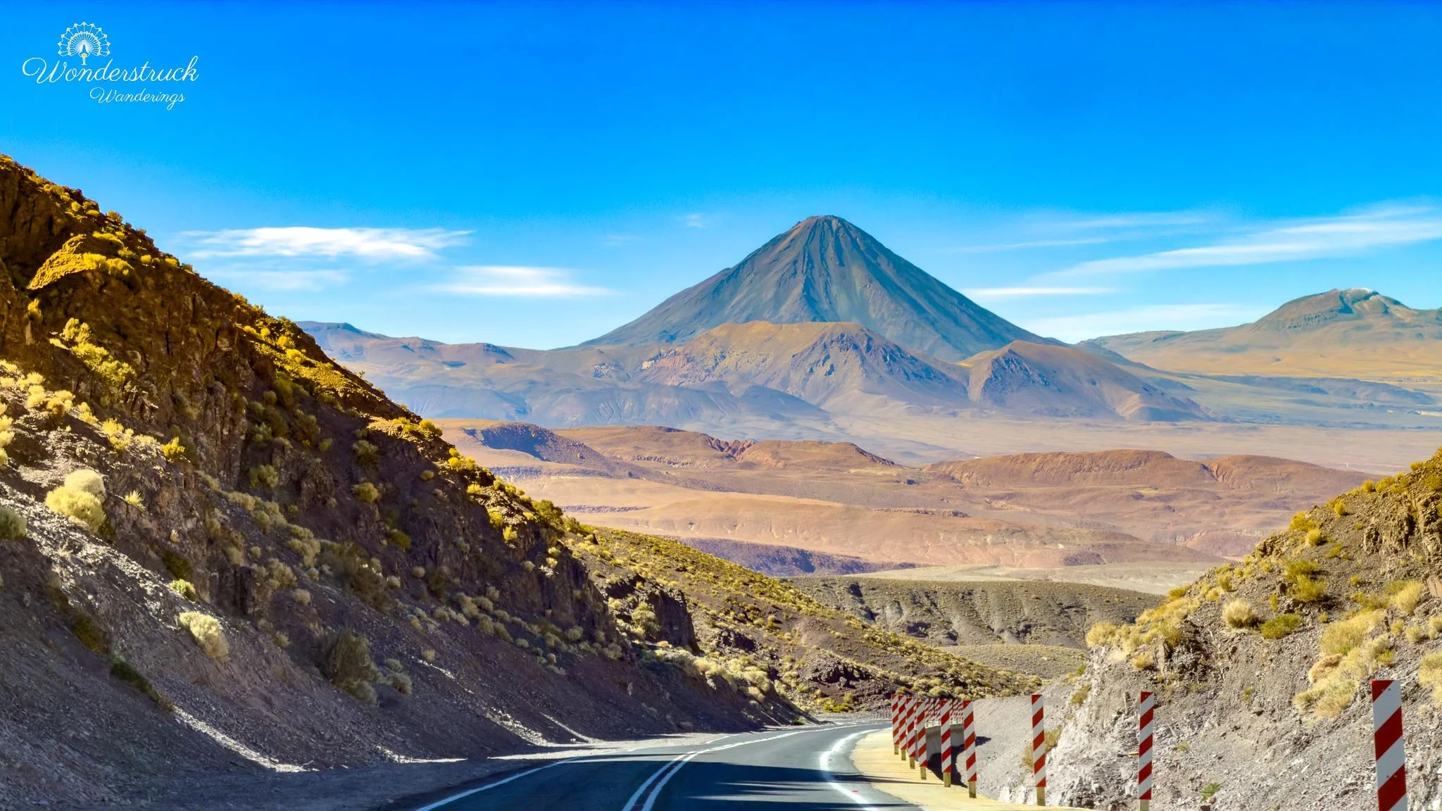
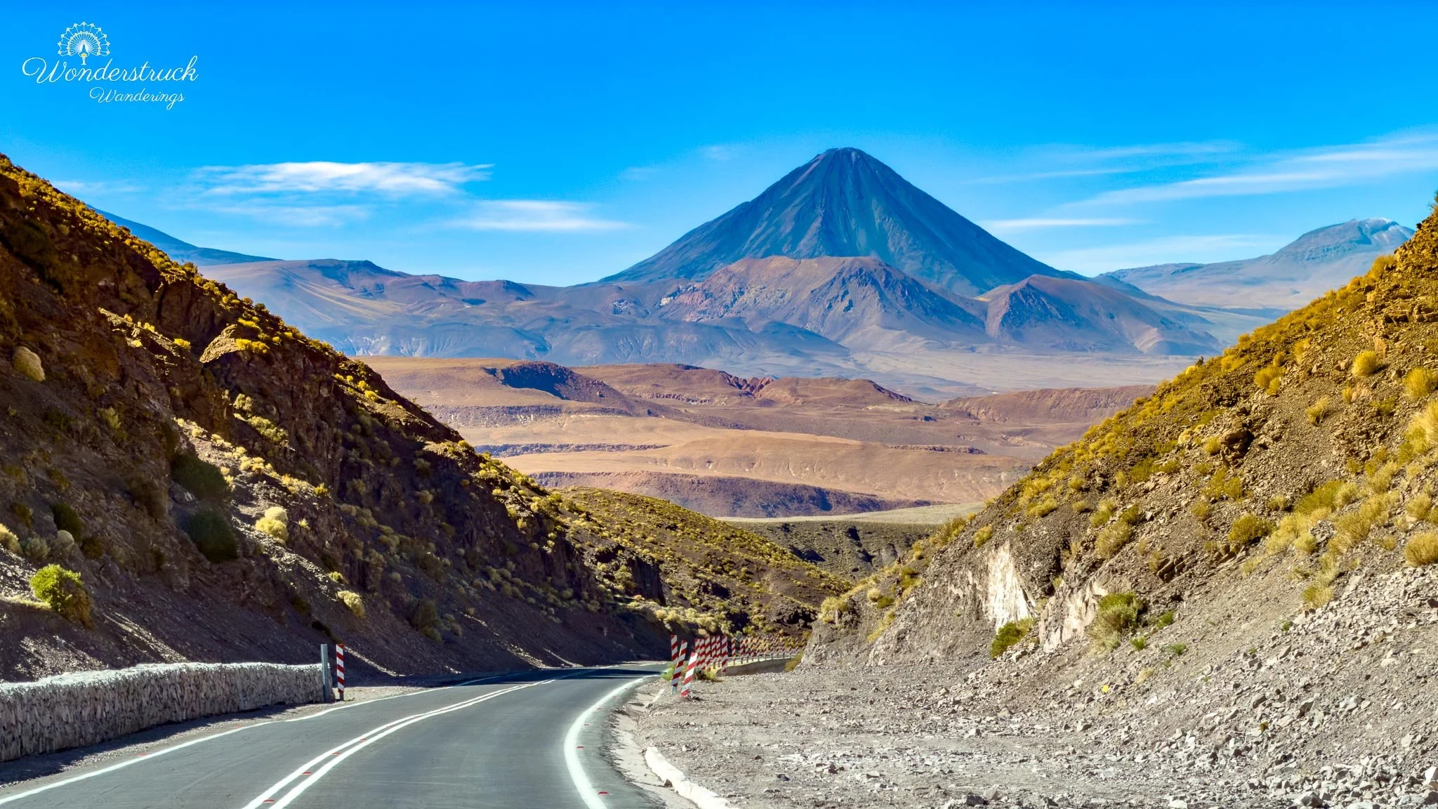
Even before reaching the valley, the drive was beautiful. Licancabur Volcano stayed in view for long stretches behind us and to the southeast, and every time we thought we had already photographed it enough, the road gave us another angle. At one point, we saw a llama grazing with Licancabur in the background. It was almost too perfect: the volcano, the open desert, the animal in the foreground, and the dry Atacama palette all around it. It felt like the kind of scene you hope for on a desert road trip but cannot really plan. As the road continued toward Valle del Arcoíris, the landscape became more textured. The flat desert gave way to low ridges, dry washes, eroded hills, and bands of mineral color beginning to appear in the distance. The main access road through this area is commonly marked as B-207, and it can be used to reach the valley and continue toward Yerbas Buenas. We followed the signs toward Rainbow Valley but chose a left turn where a marker pointed more directly toward Valle del Arcoíris, then used B-207 later as part of our return loop. The retrun route was scenic, but it came with one small caution. There were a few water crossings—more like shallow streams when we visited—but this is exactly the type of road where conditions matter more than the map suggests. In the dry season, the crossings were manageable for us, but after meltwater, rain, or stronger seasonal flow, they could become more awkward, especially in a low-clearance sedan. This is one of those Atacama drives where it is worth asking locally about the road before committing, even if the distance does not look intimidating. Eventually, after following the small but clear signs, the landscape opened suddenly into the colored hills of Valle del Arcoíris. The name makes sense as soon as you arrive. The formations are not rainbow-colored in a bright, artificial way; they are mineral-colored—red, ochre, green, gray, white, and purple-brown bands layered into eroded hills and cliffs. The colors come from different minerals in the rock, and the effect is especially striking because the surrounding desert is so dry and muted. There is a small office near the entrance where visitors pay the fee. We paid 5,000 CLP per person, and the entrance area also had clean bathrooms, which is always worth noting in Atacama travel. Right after the entrance, the first parking area sits to the right below tall red formations. It is a good first stop because the scale of the valley becomes clear immediately: vertical walls, dry gullies, colored mineral bands, and the wide desert silence around everything. After the higher, colder landscapes of the previous days, Rainbow Valley felt like a return to the sculpted desert—lower, warmer, dustier, and much easier to explore slowly.
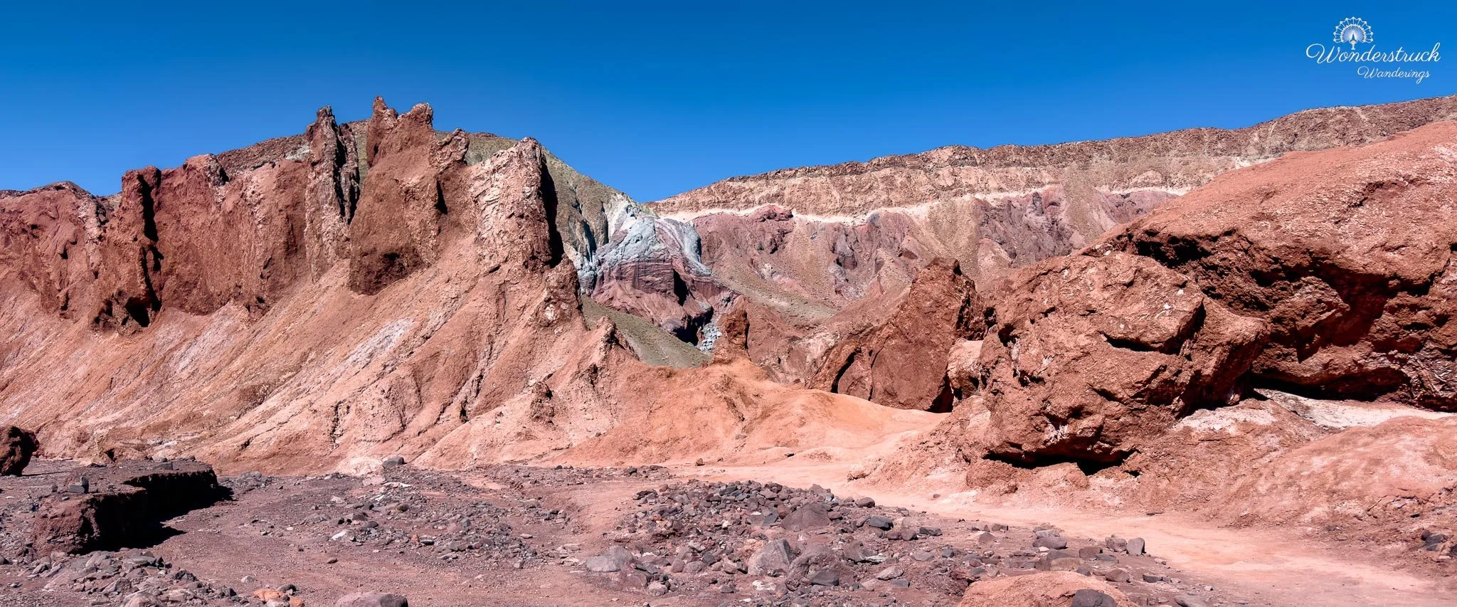
Rainbow Valley: Mineral Colors, Badlands Shapes, and Dry Riverbeds
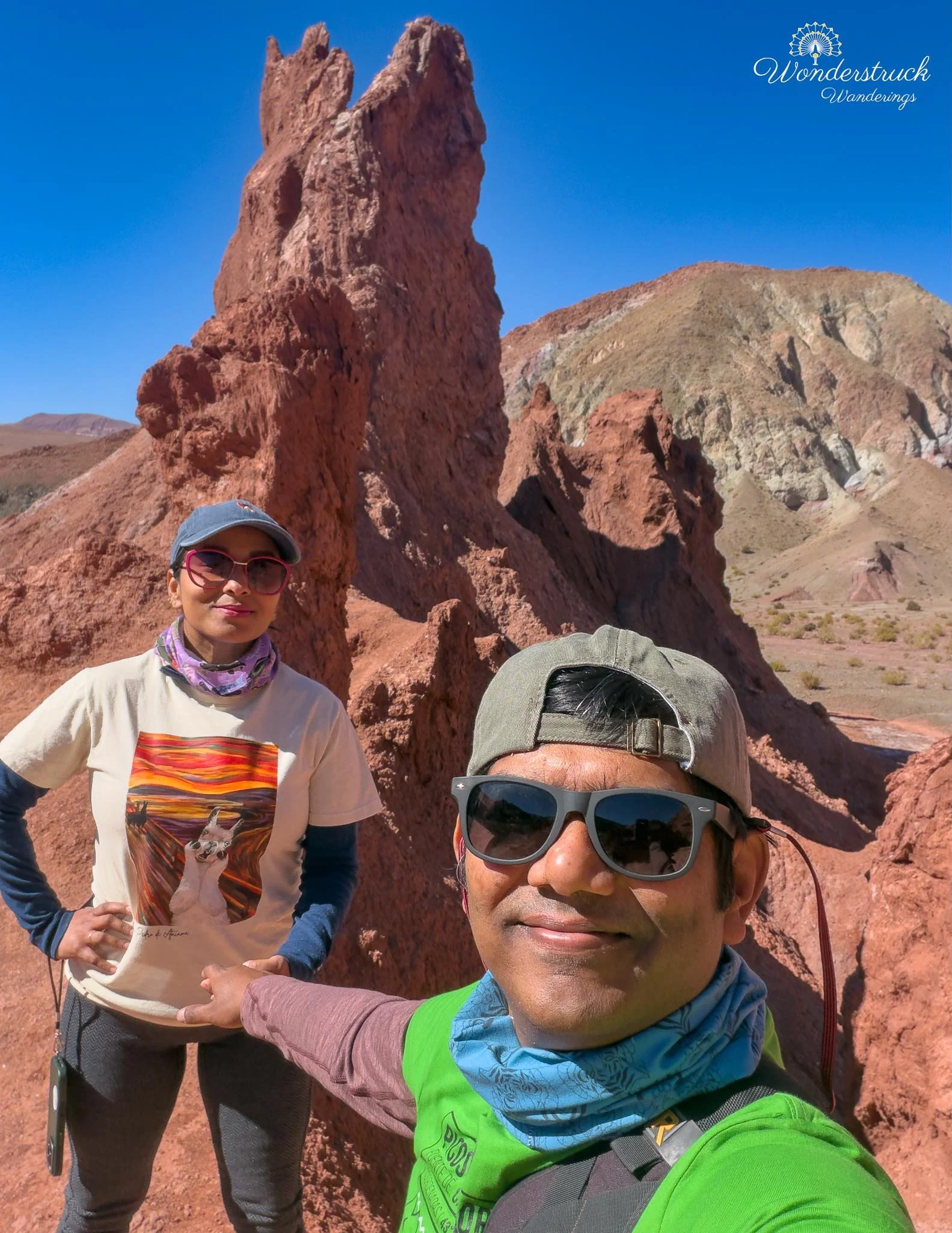
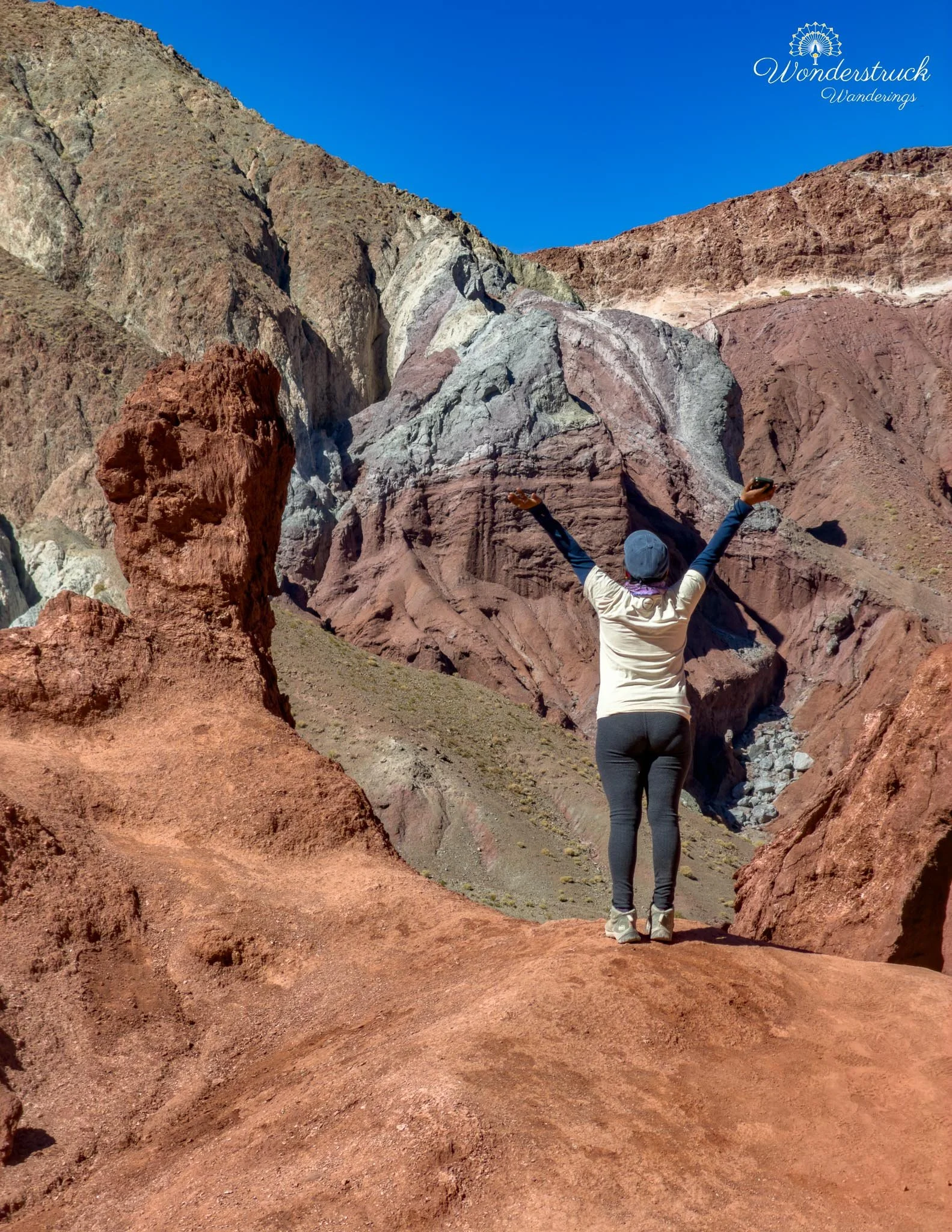
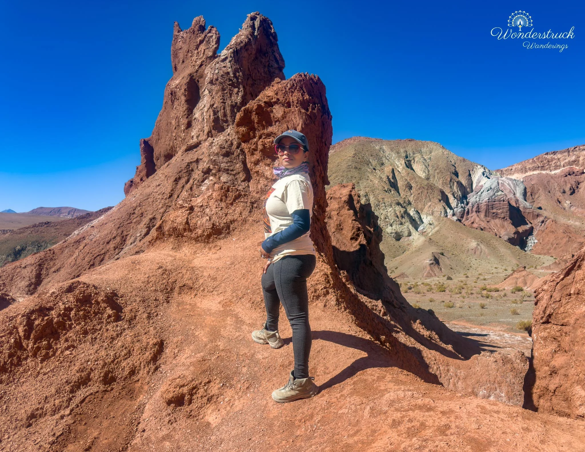
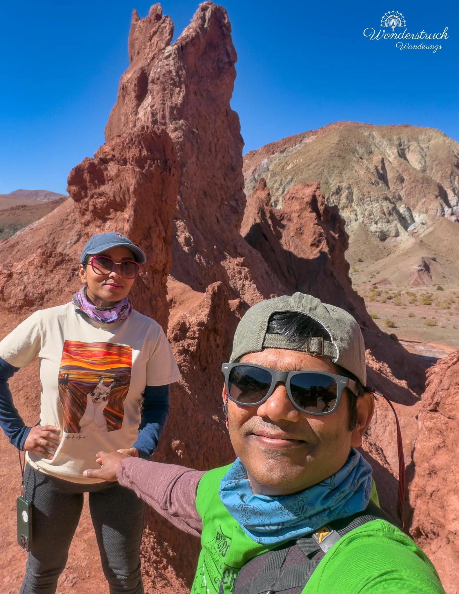
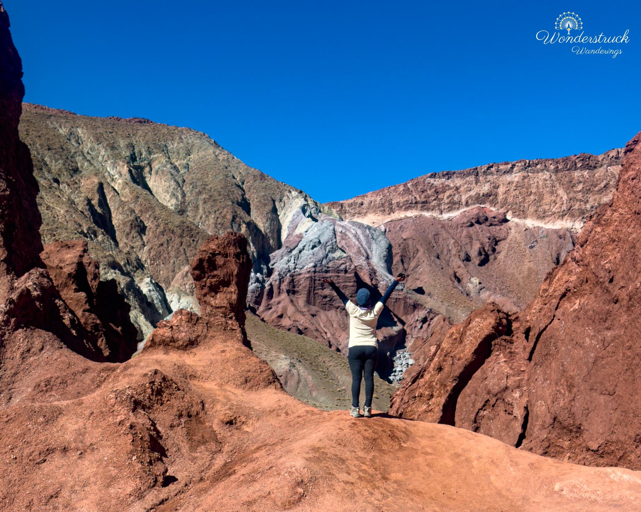
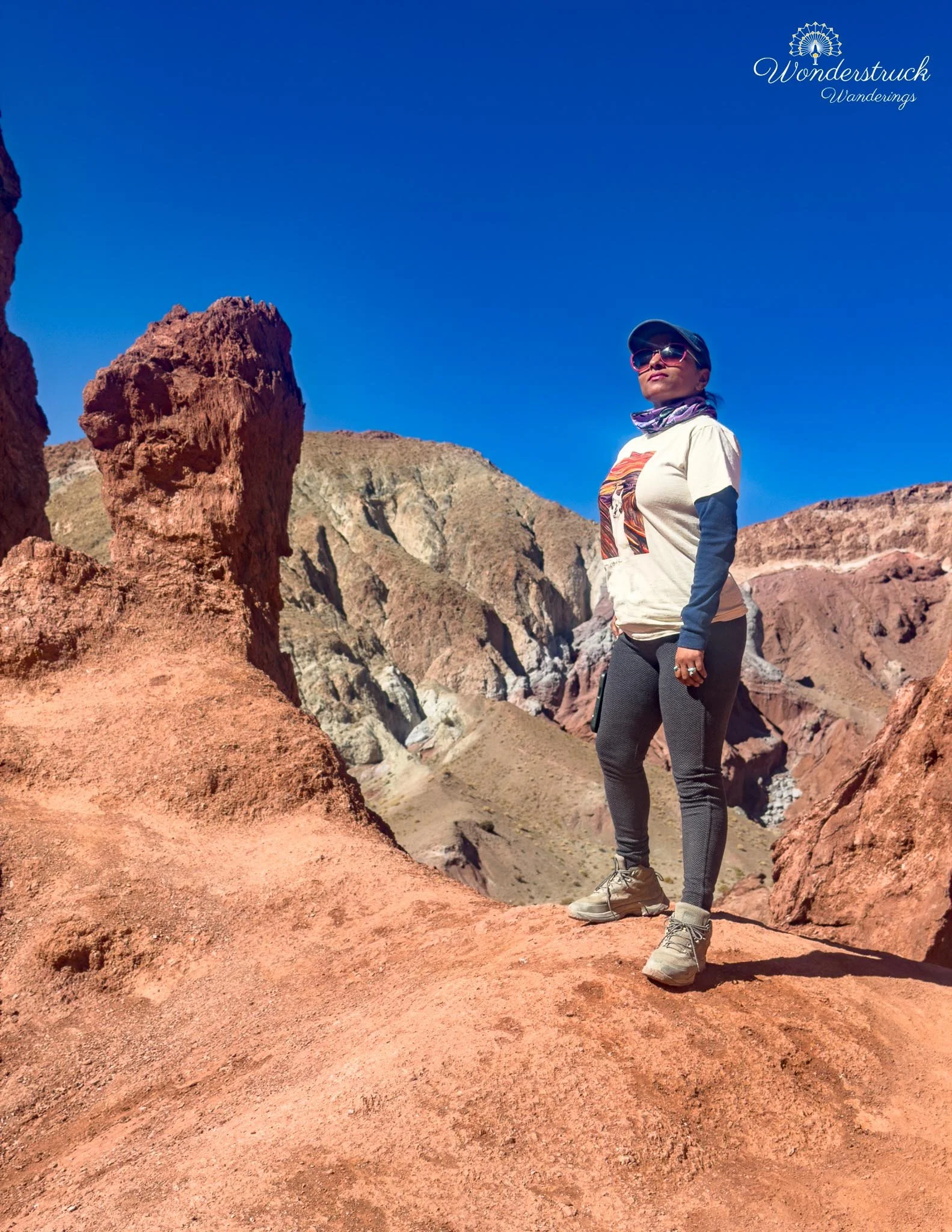
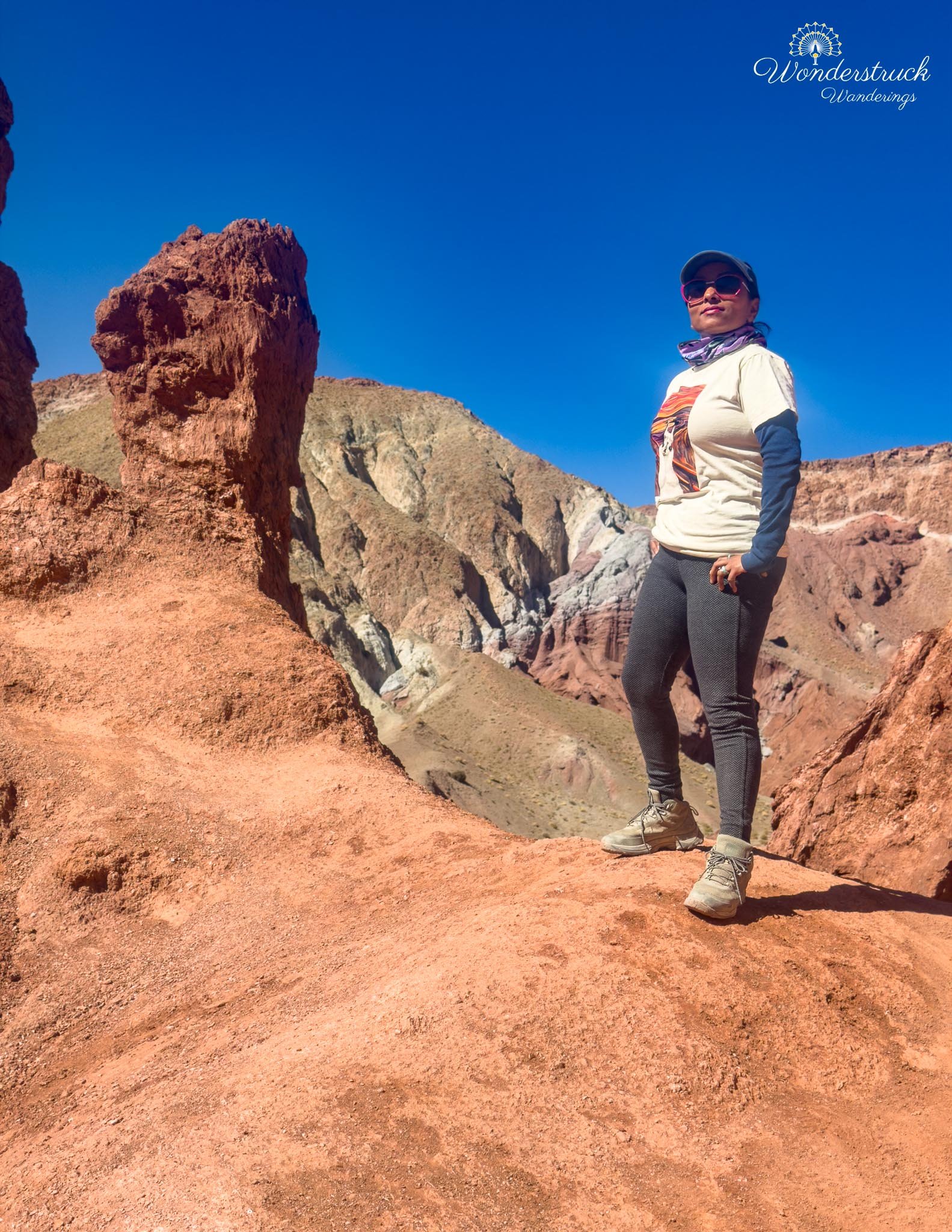
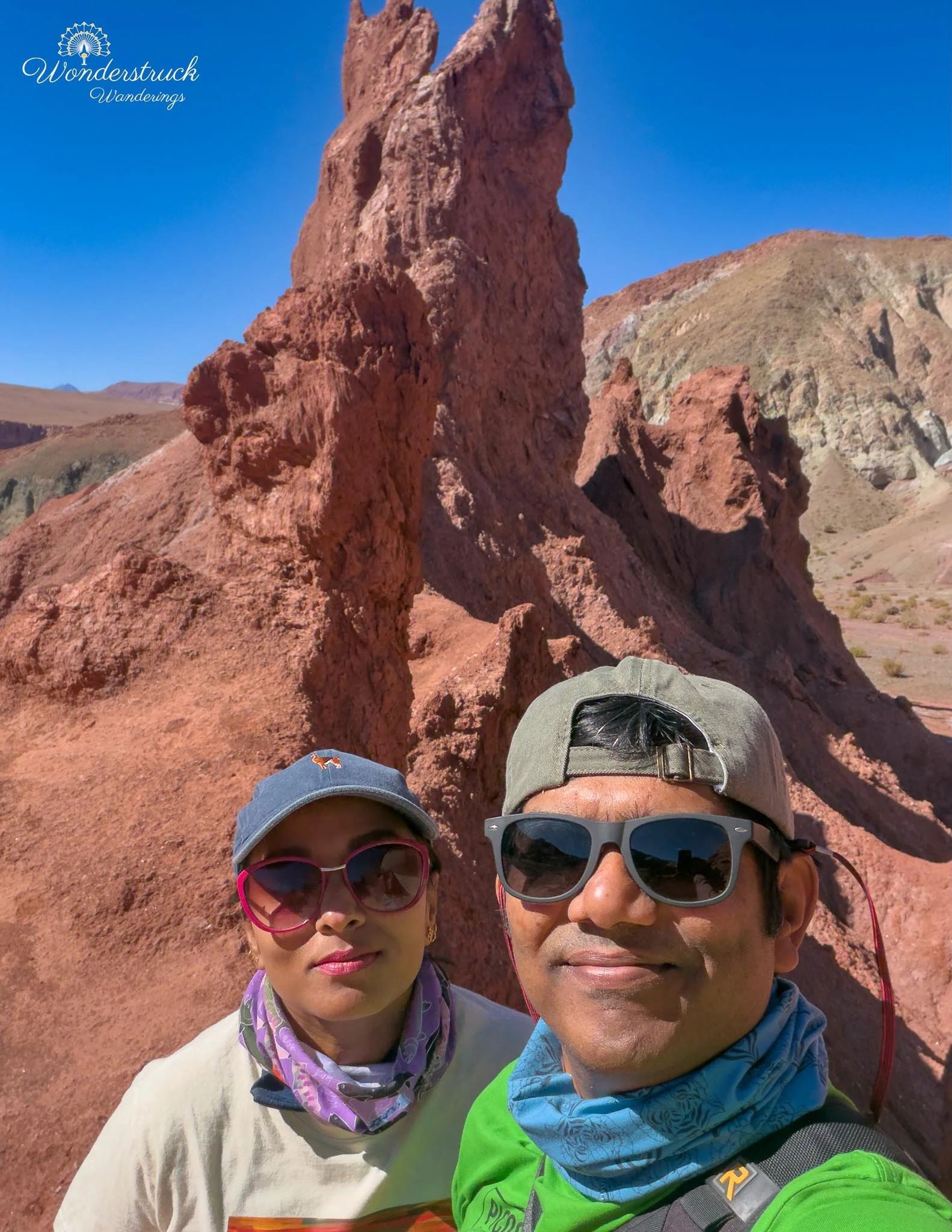
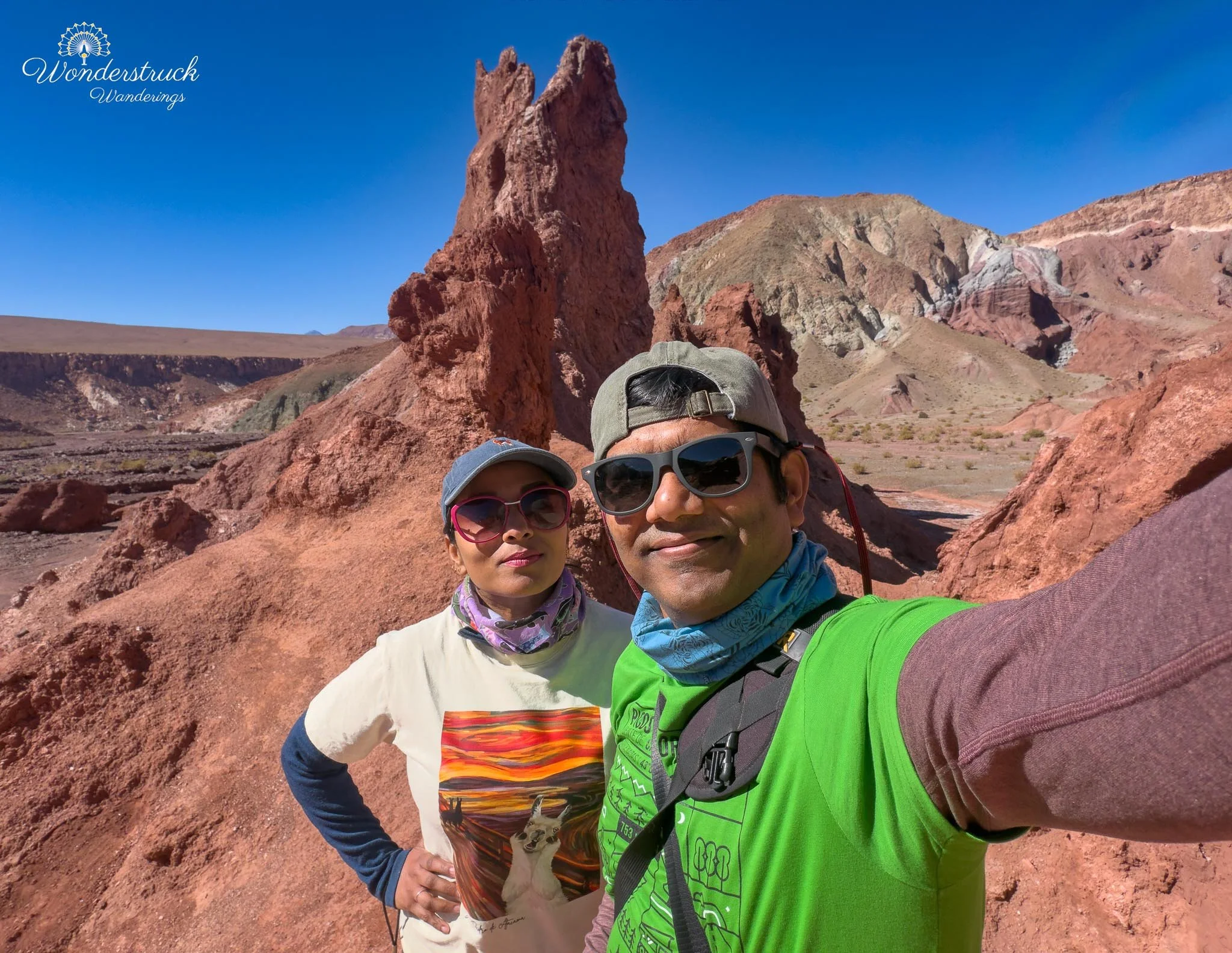
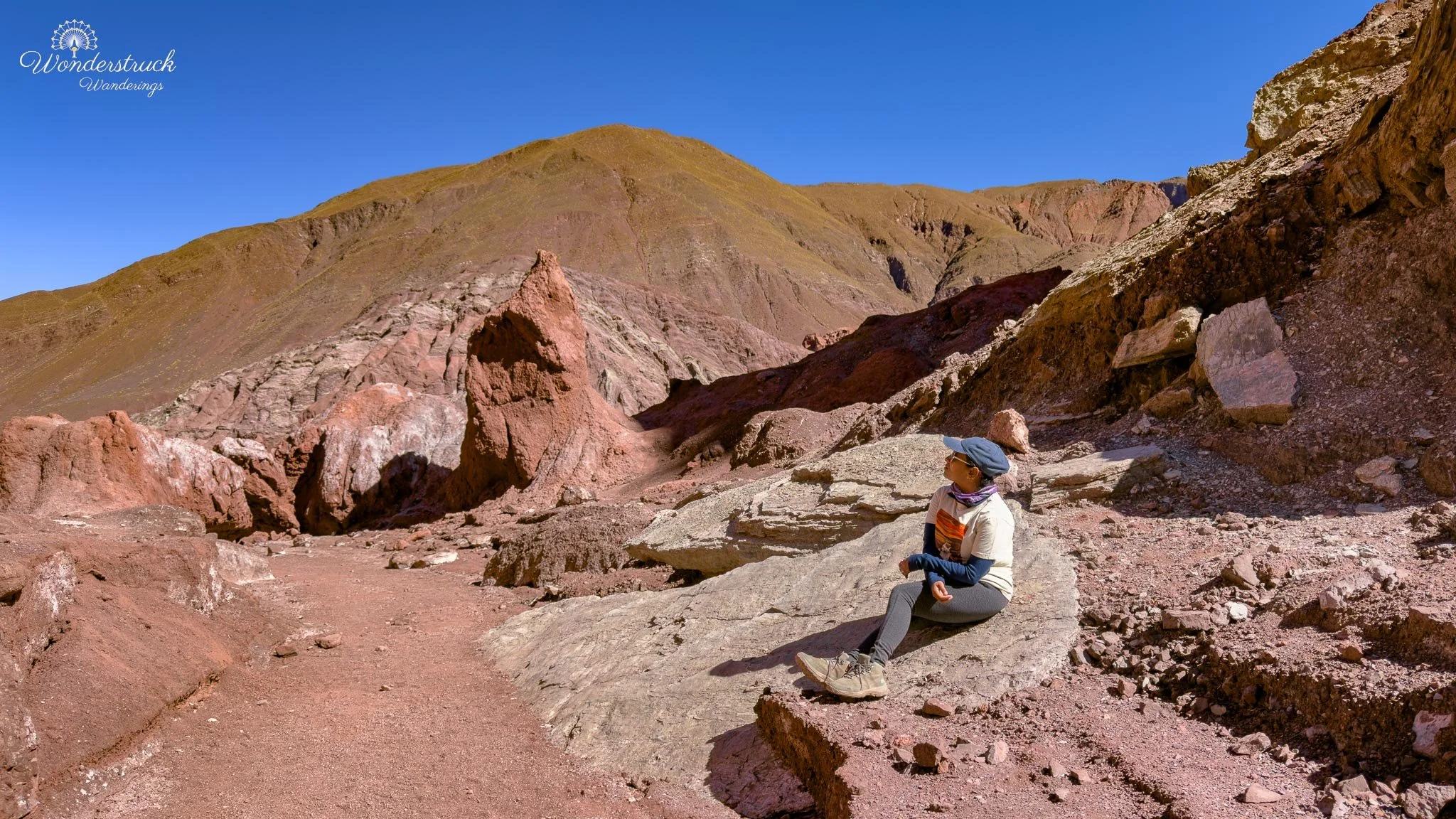
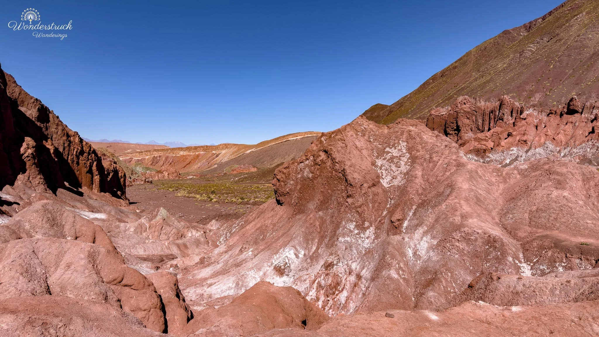
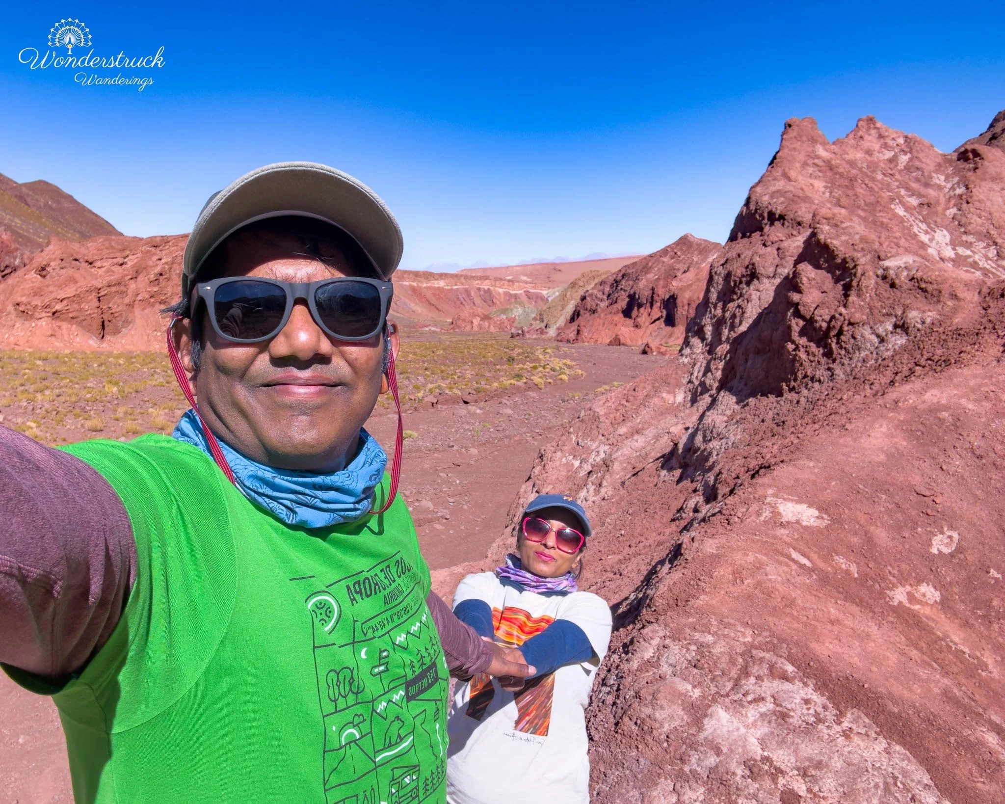
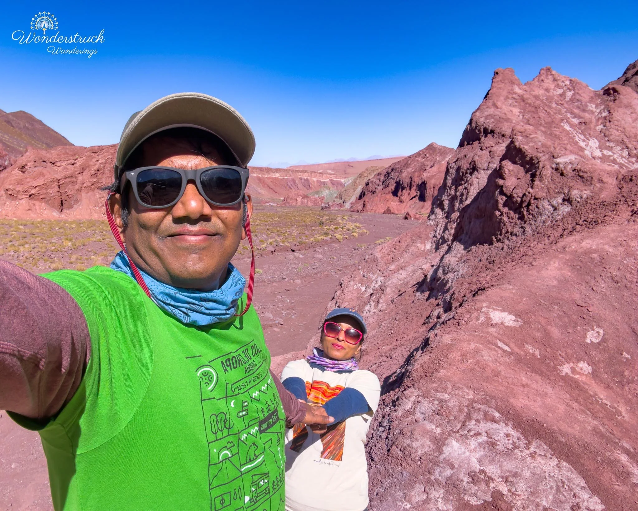
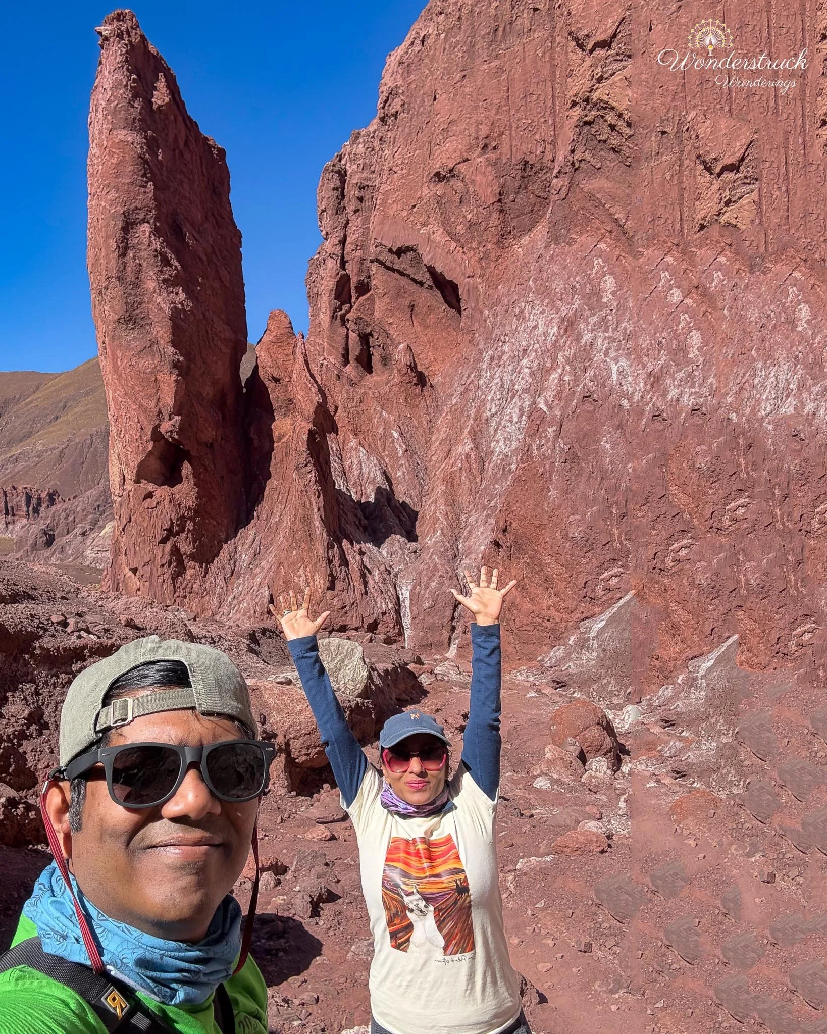
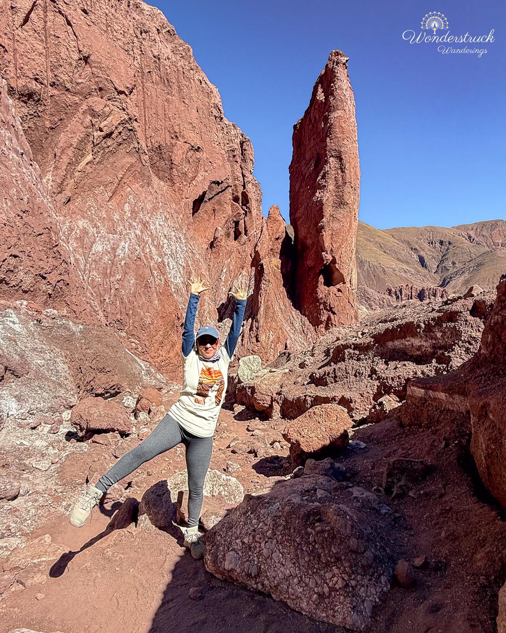
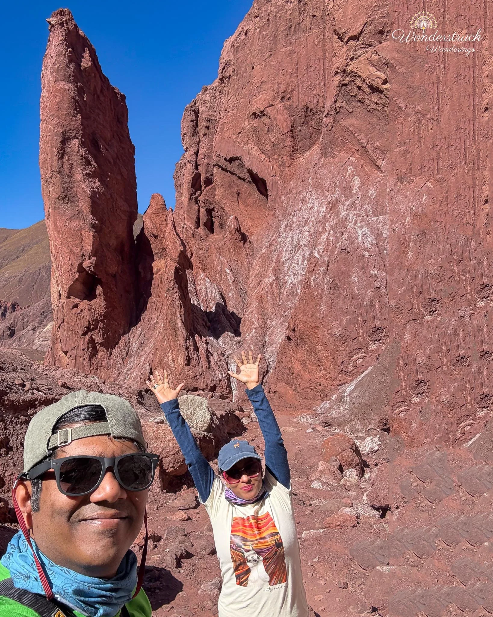
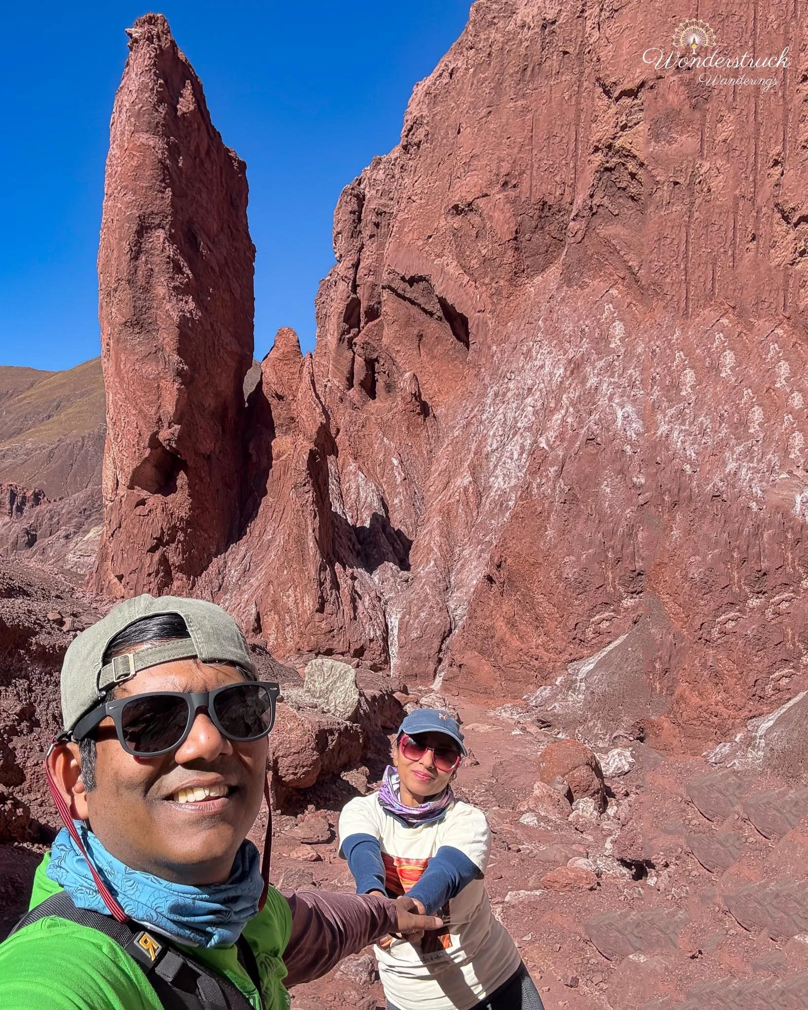
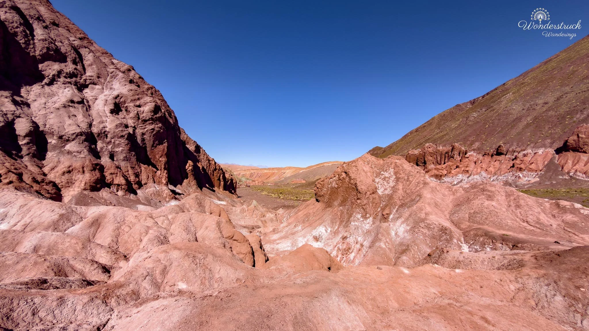
Rainbow Valley is one of the most underrated landscapes near San Pedro. It is not one single viewpoint; it is the accumulation of color, texture, erosion, and silence. The Atacama has many famous landscapes - Valle de la Luna, El Tatio, Piedras Rojas, the Altiplanic Lagoons - but Rainbow Valley feels more intimate. The formations are closer. You are not just looking across a vast basin; you are walking among mineral-stained hills, dry channels, and eroded towers. Reds and ochres dominate in some sections, then greenish bands appear, then pale whites and grays shift the whole scene again. The colors are not cartoon-bright, at least not in the light we had, but they are layered and natural in a way that rewards slow looking. After parking, we started walking to the left of the road along a narrow dirt path. The trail crossed a water basin and climbed toward a higher point with an excellent view of the colored formations. At the tip of the viewpoint stood a classic badlands-style pedestal formation - the kind I always think of as a chicken thigh shape. Softer rock erodes from the bottom while harder material remains above, leaving that funny, top-heavy shape that appears in badlands all over the world. It was not the grandest formation in the valley, but it was one of those details that makes you smile because geology can be both dramatic and oddly cartoonish. From the high point, the view opened in every direction. The colored ridges folded into each other, the towers rose from the valley floor, and the road below gave scale to the formations. This was where Rainbow Valley started to feel like more than just a side trip. It had depth, shape, and that strange Atacama combination of quiet and intensity.
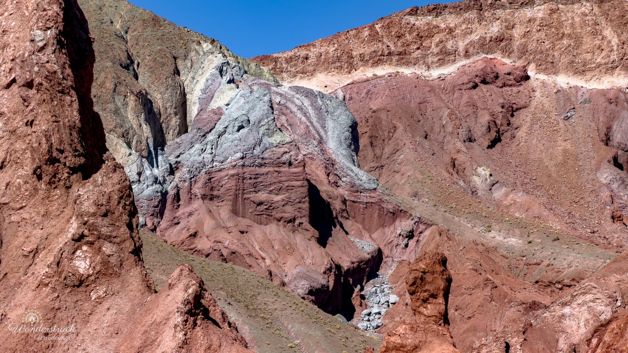
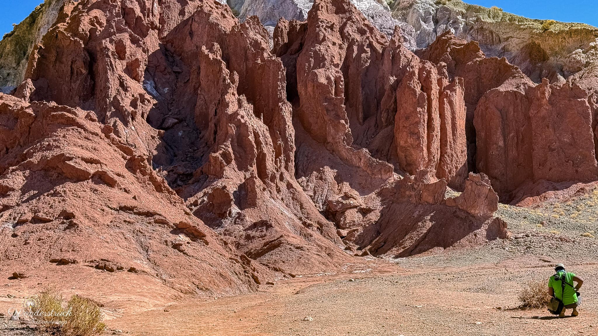
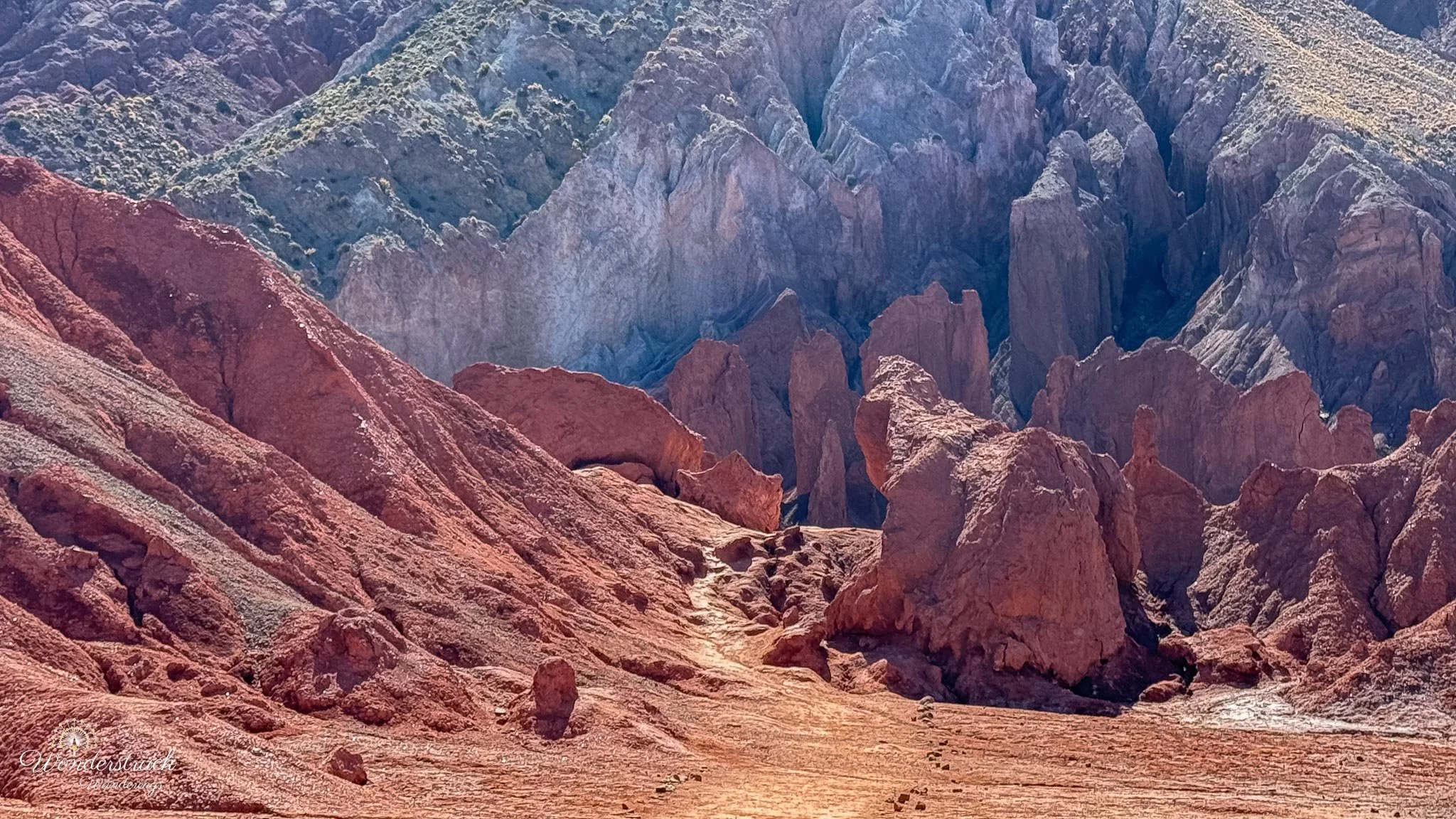
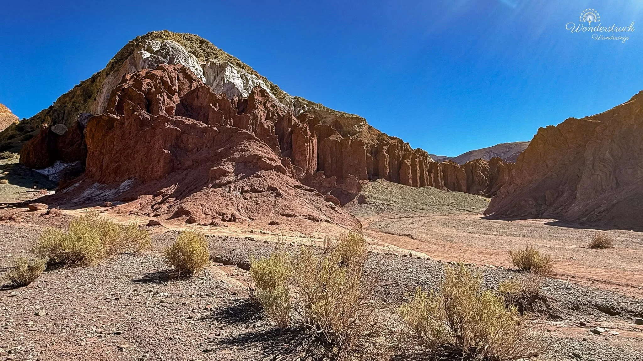
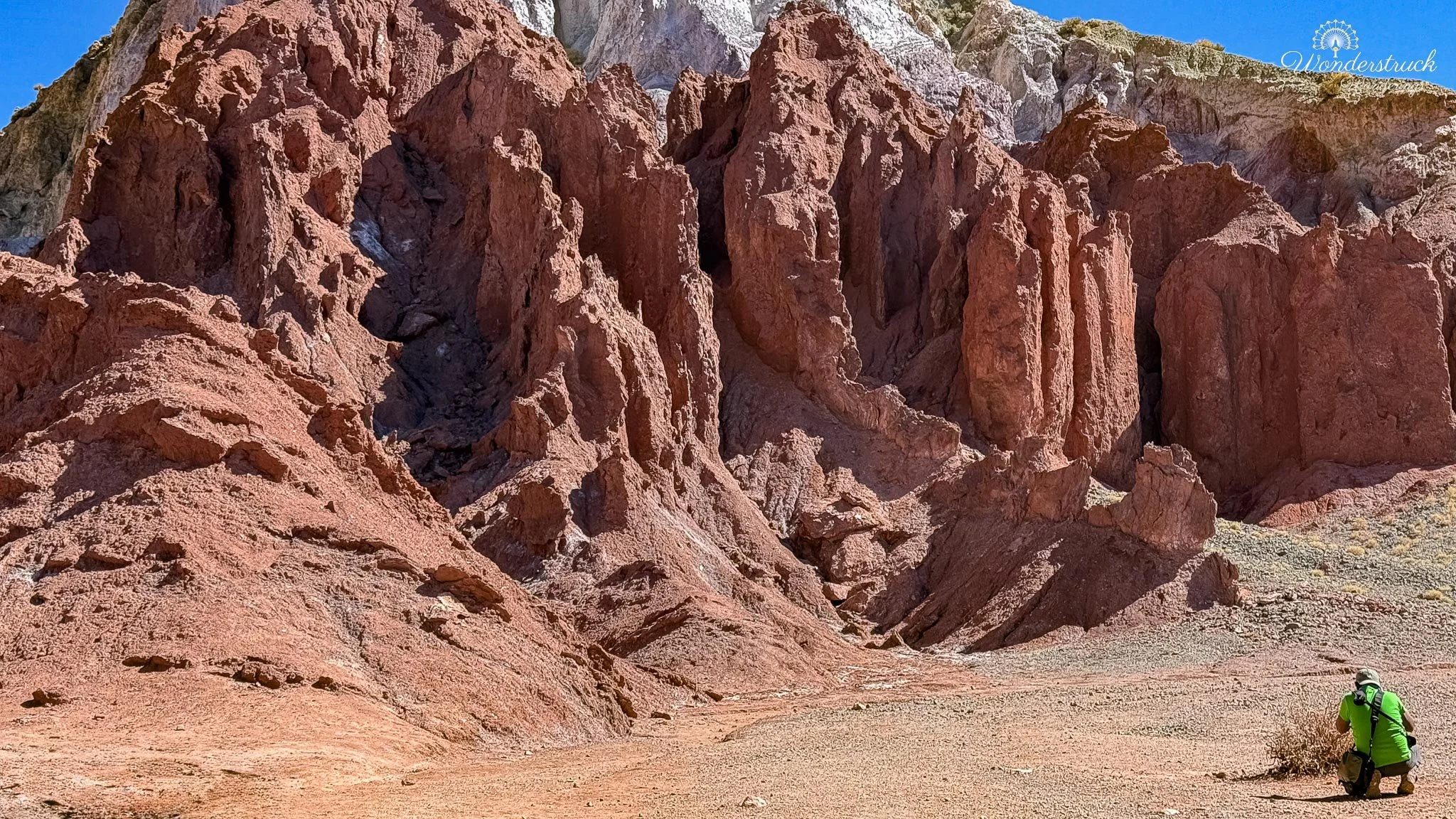
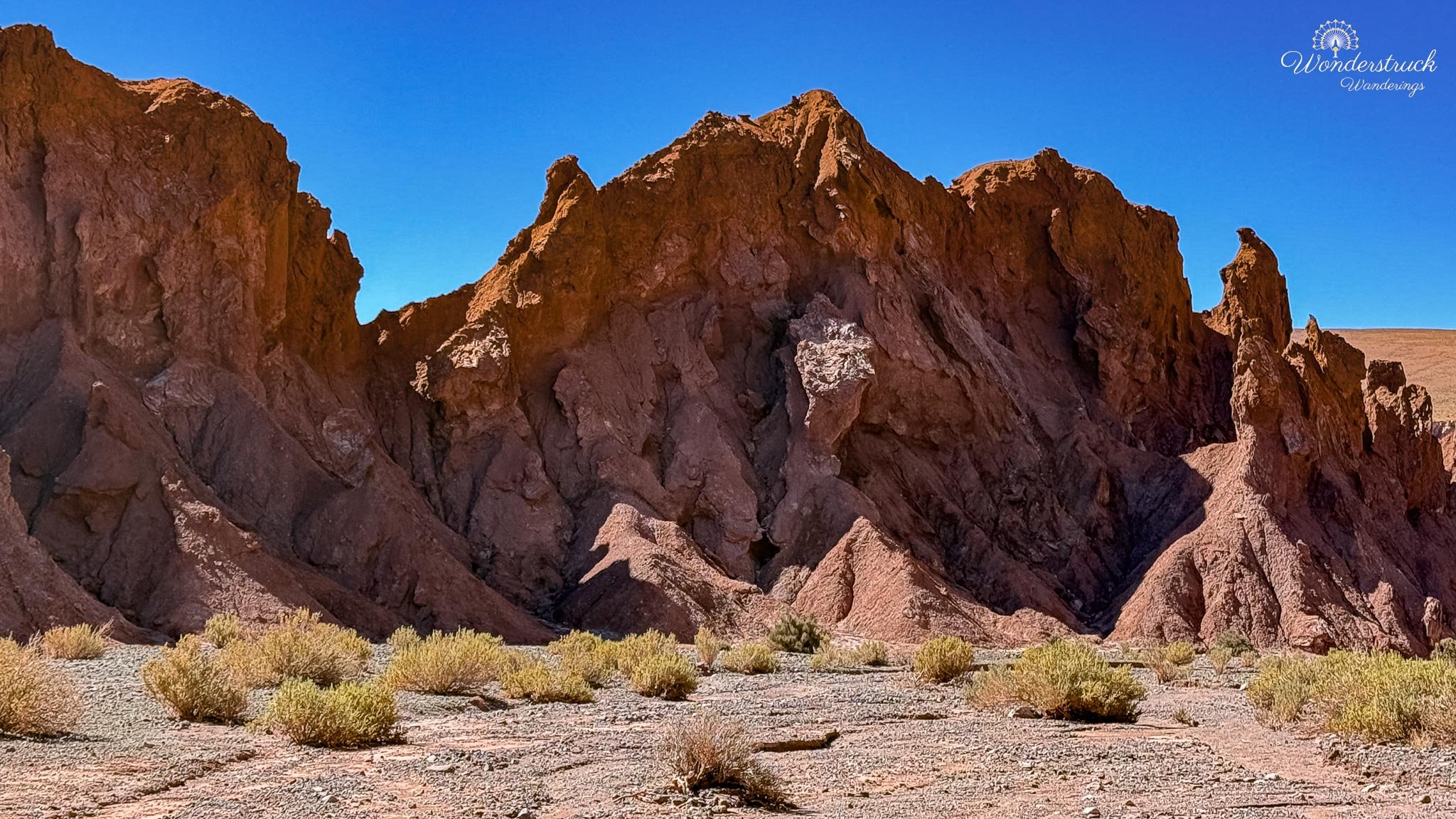
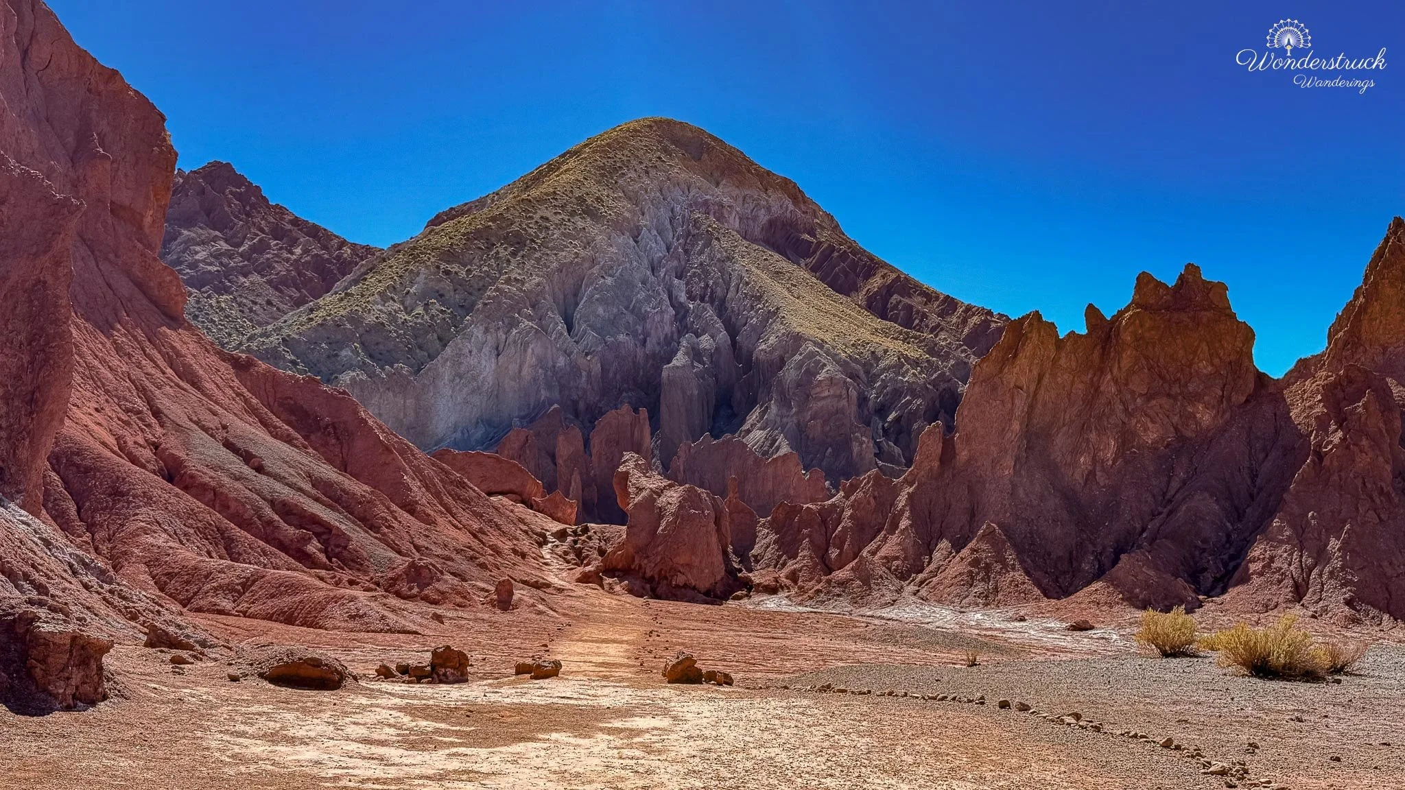
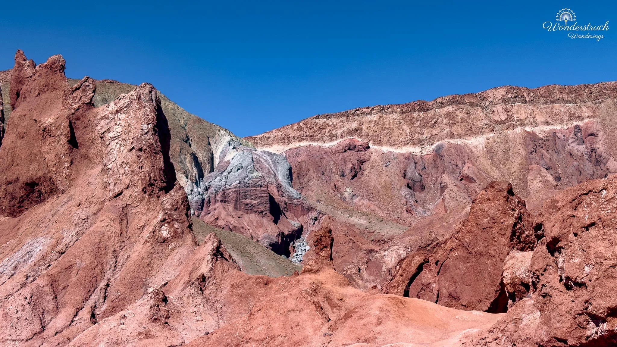
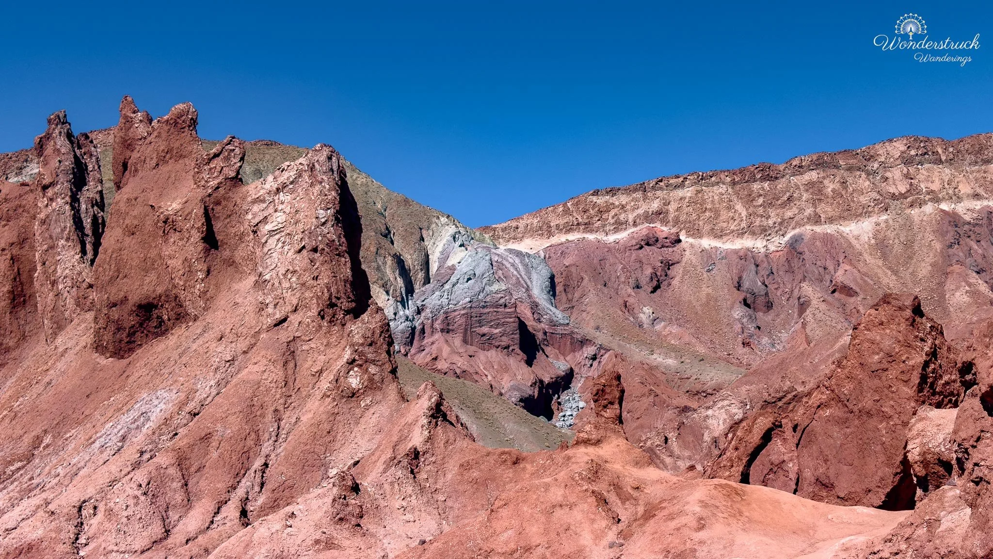
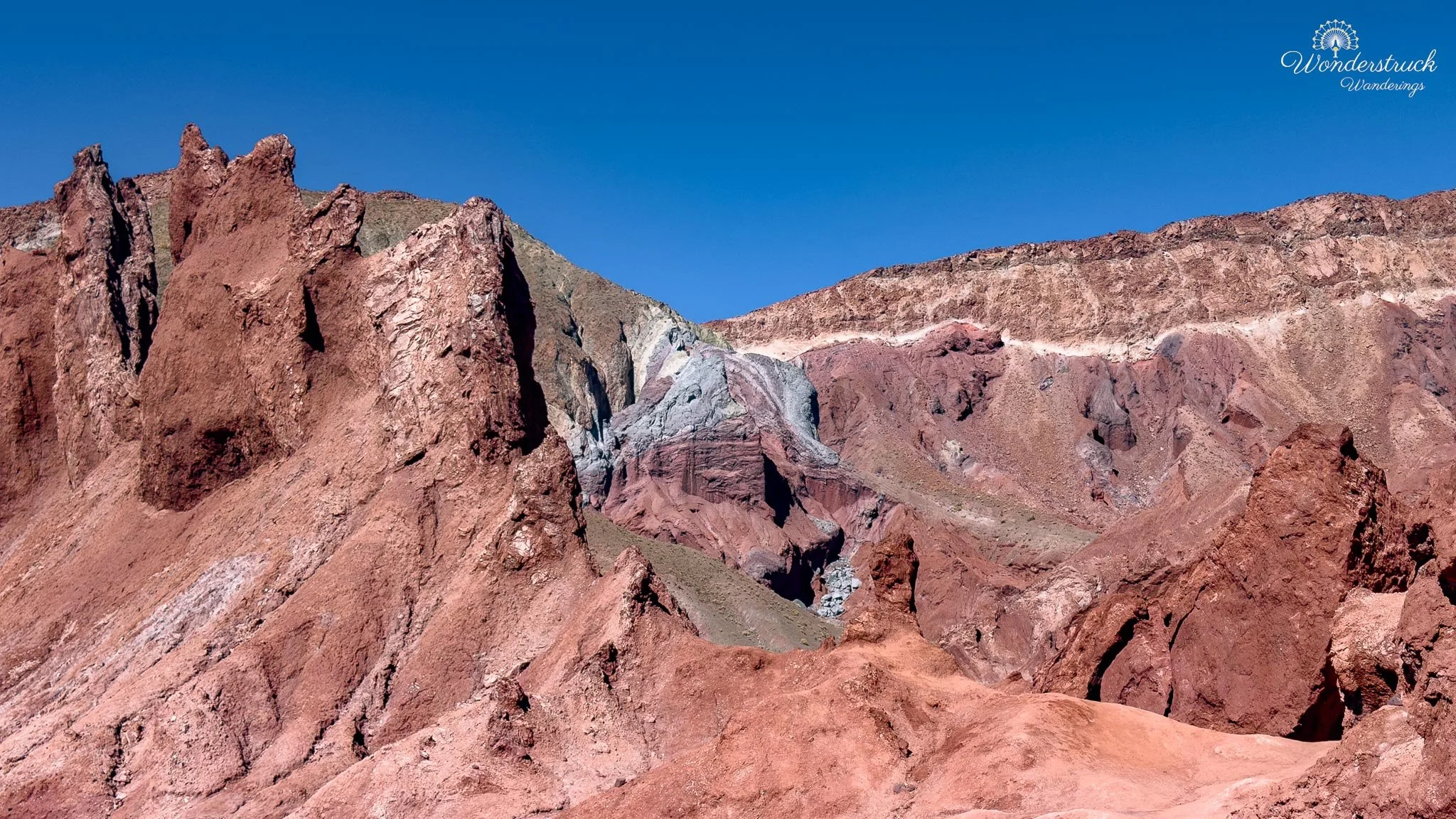
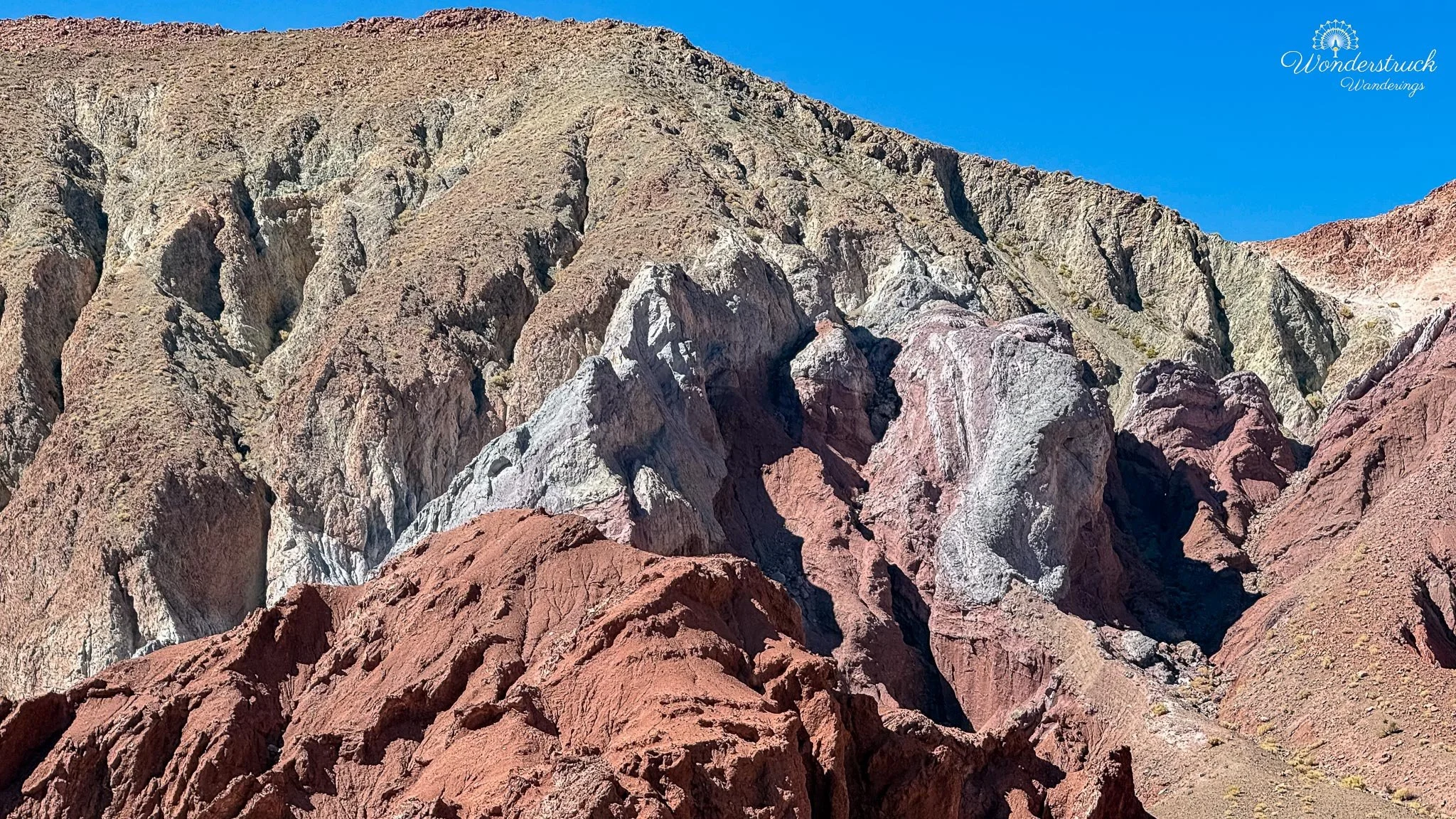
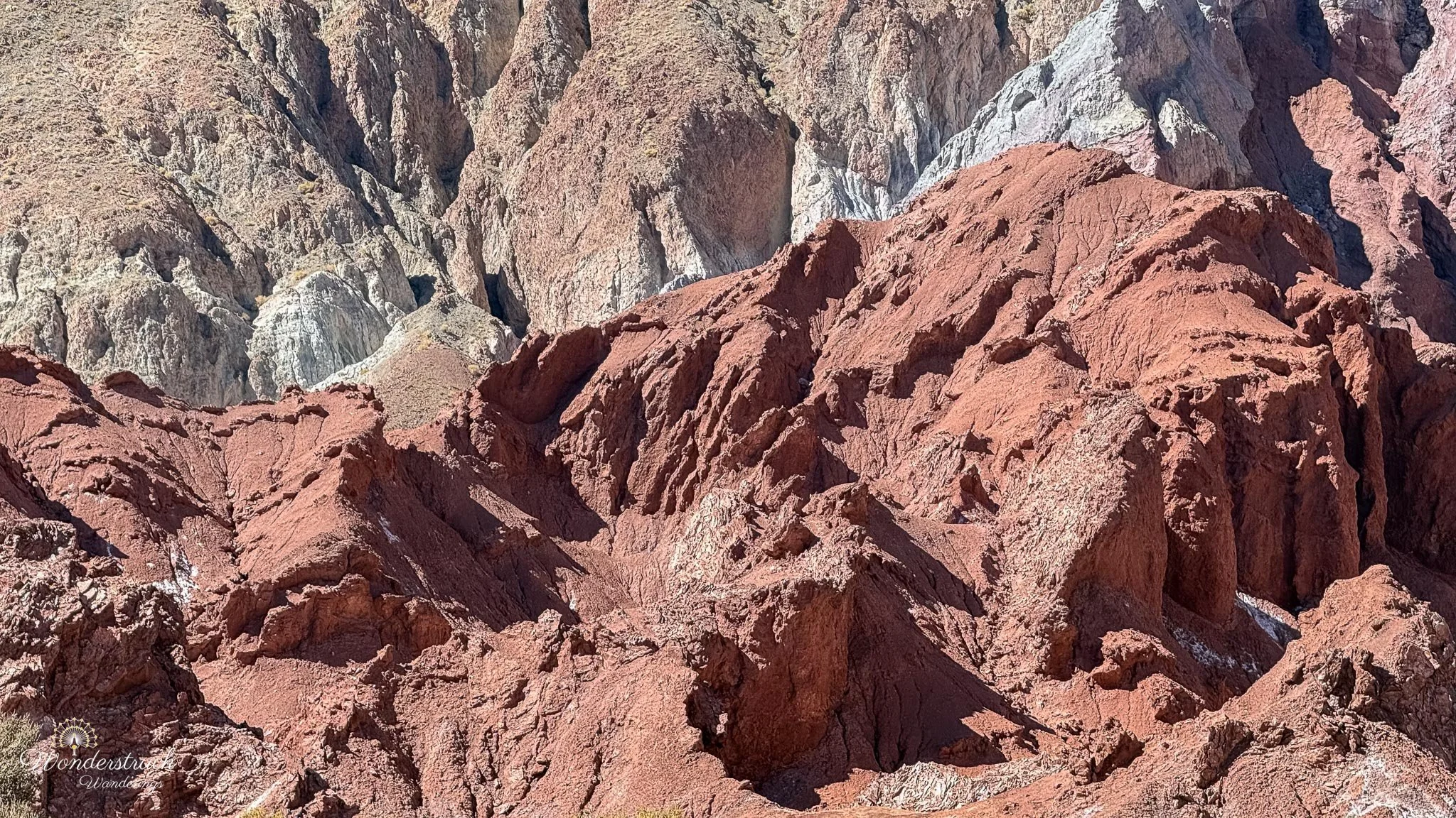
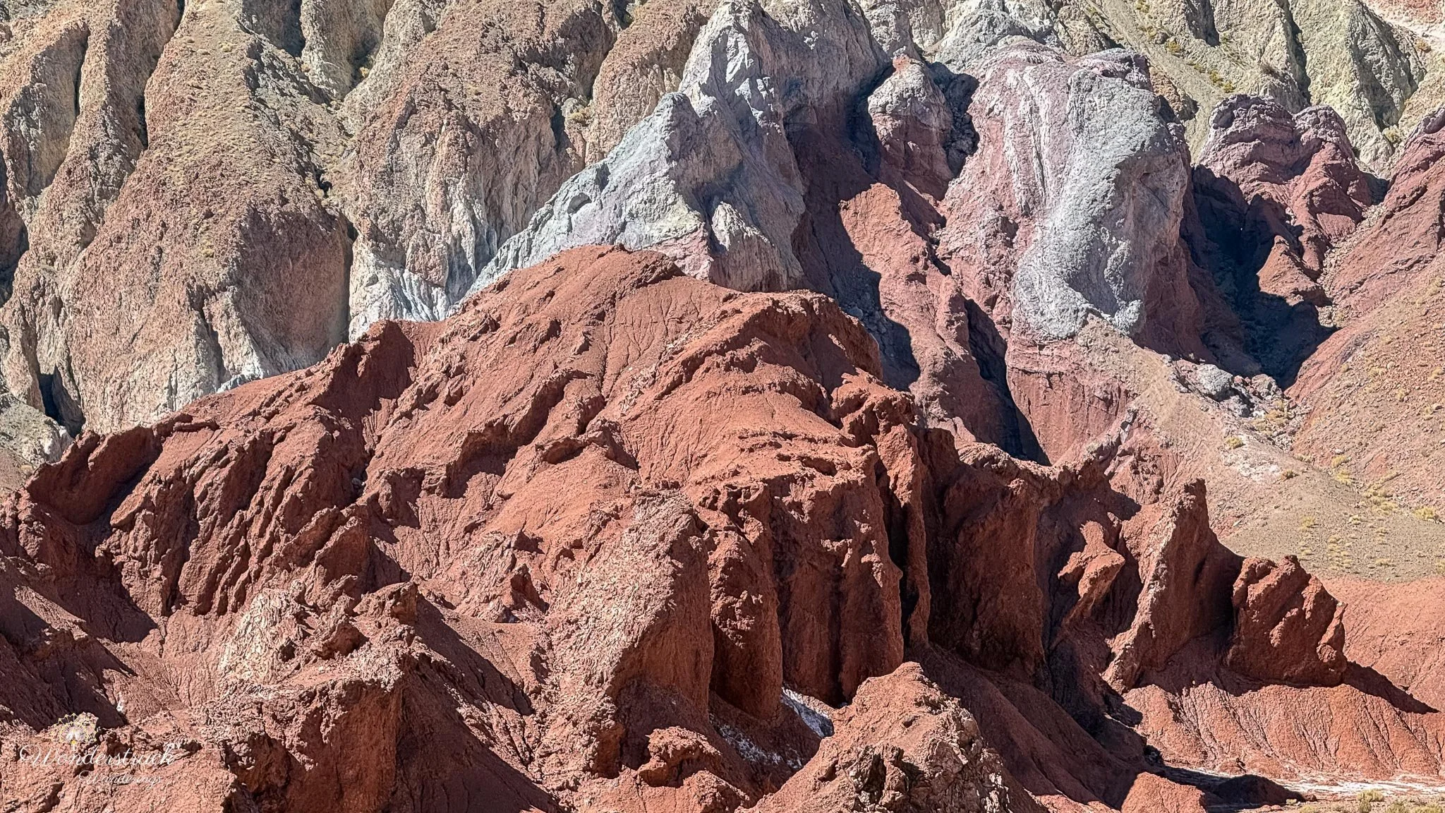
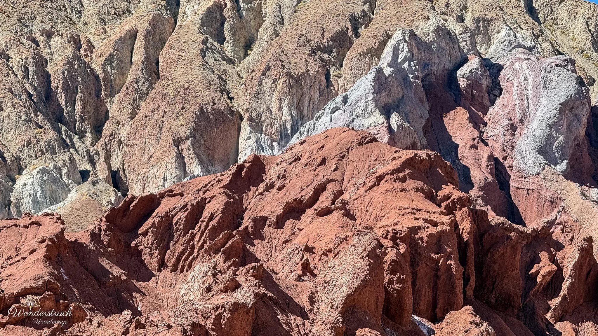
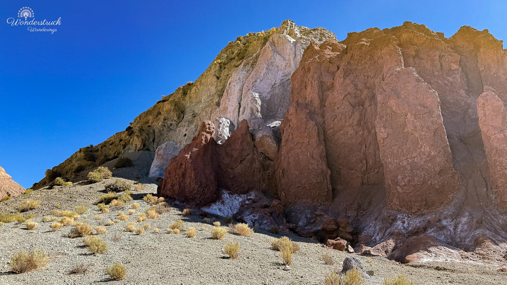
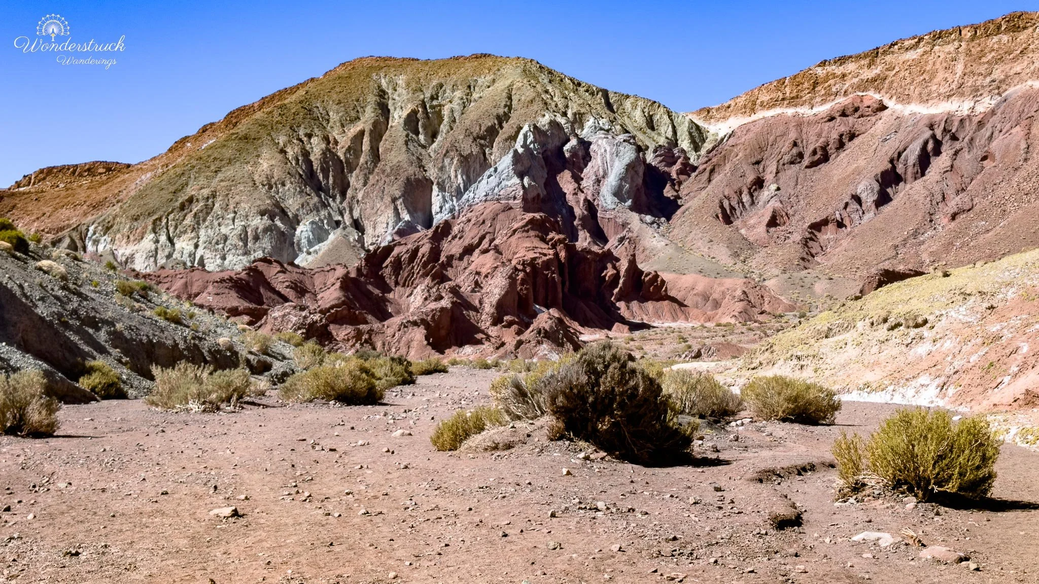
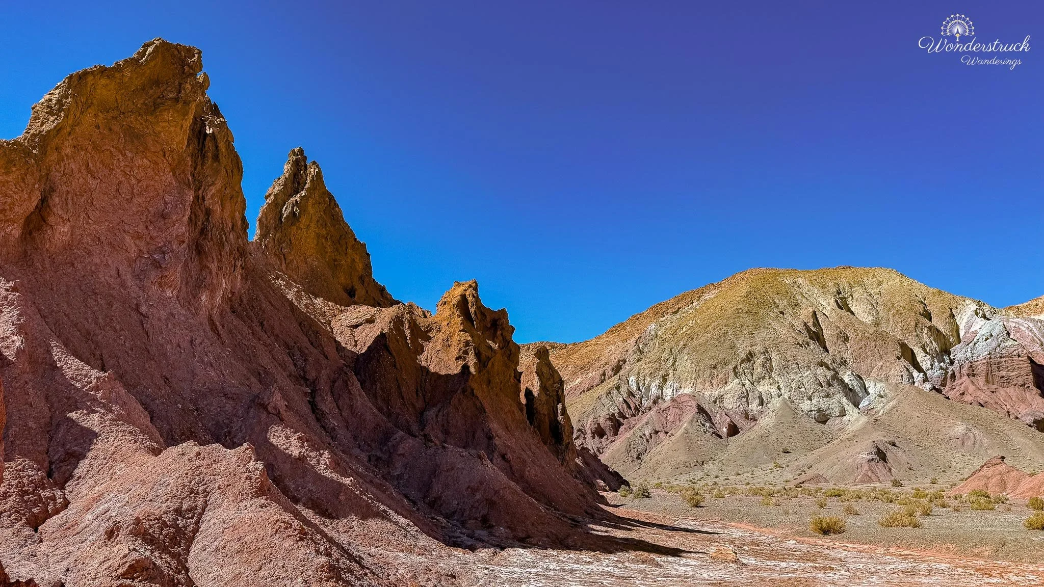
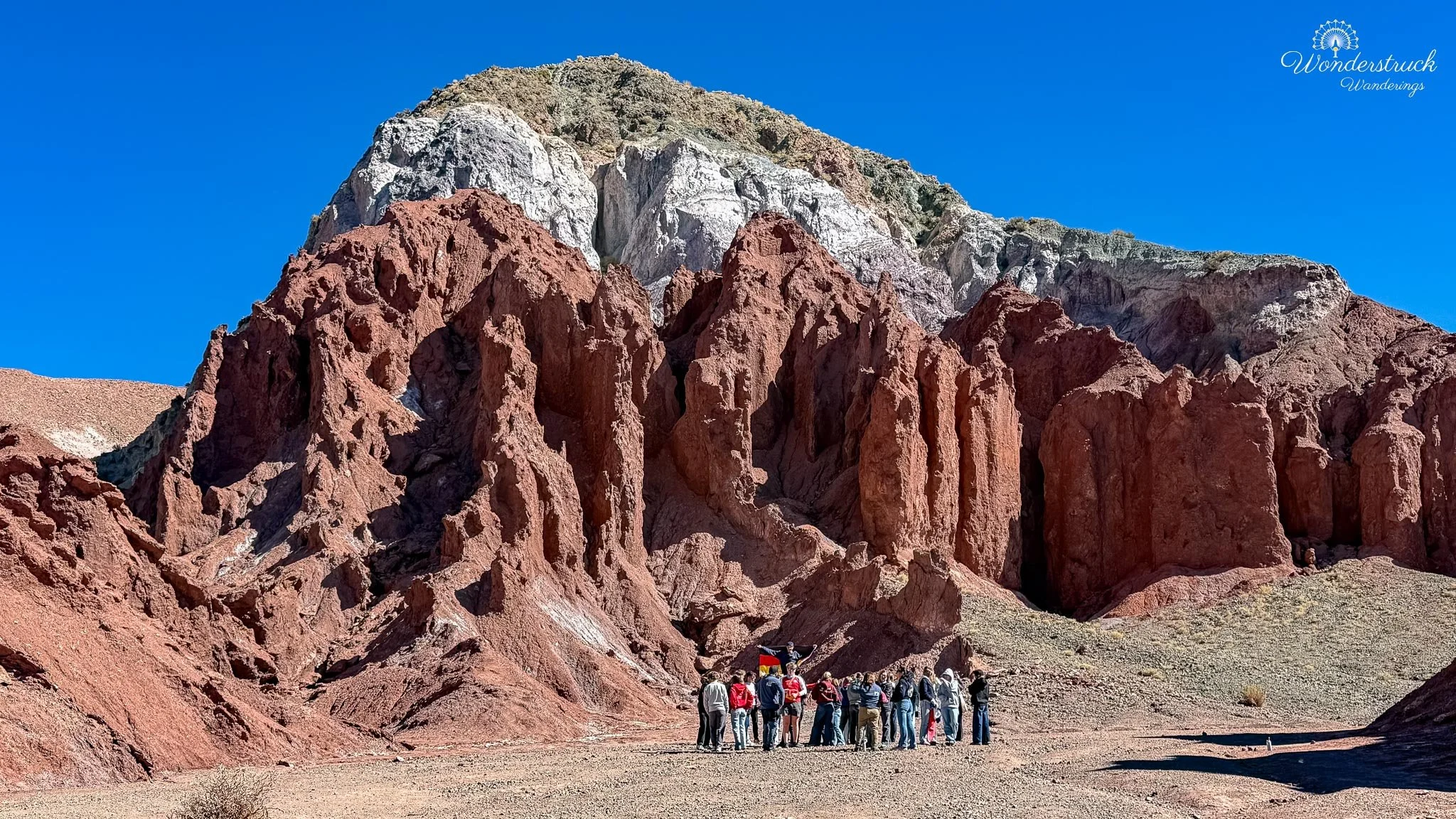
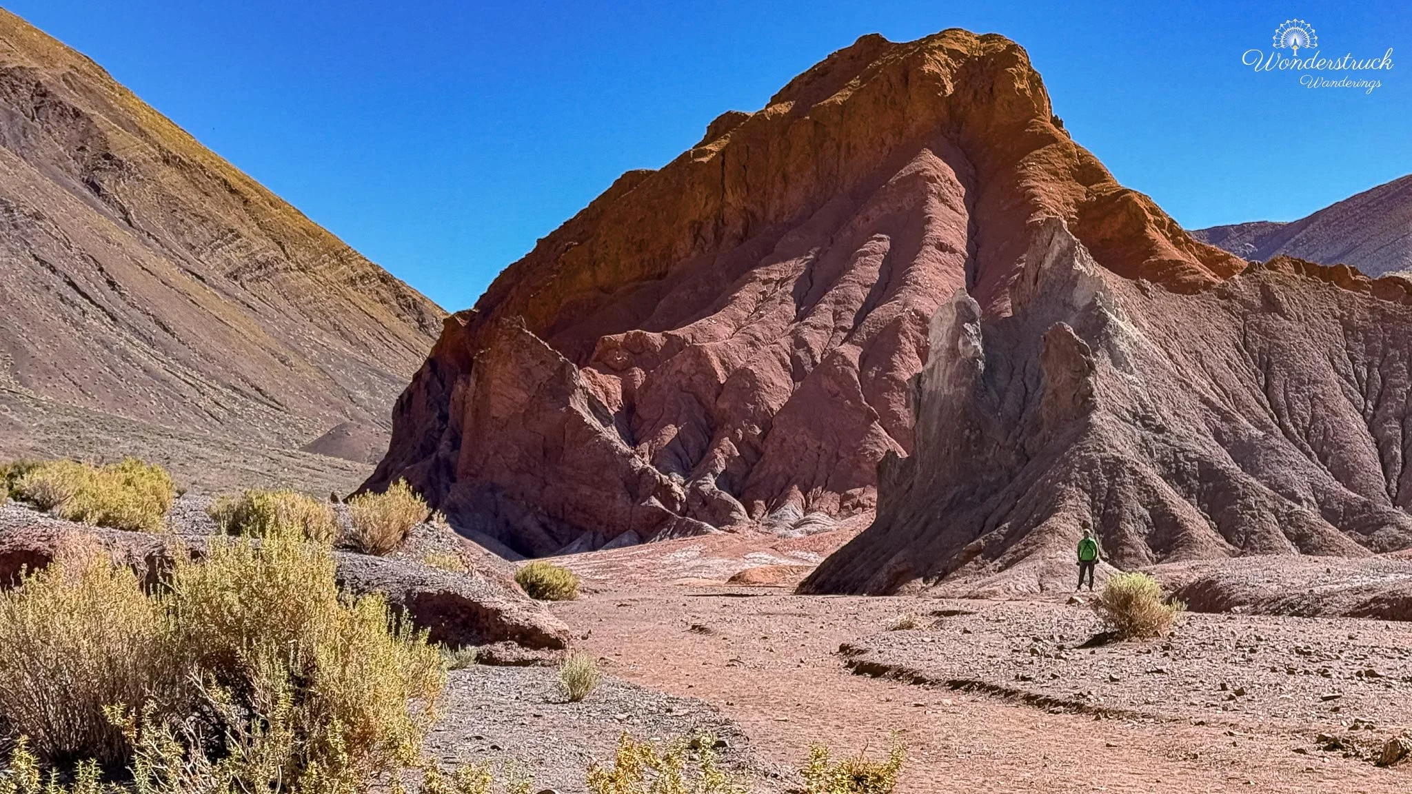
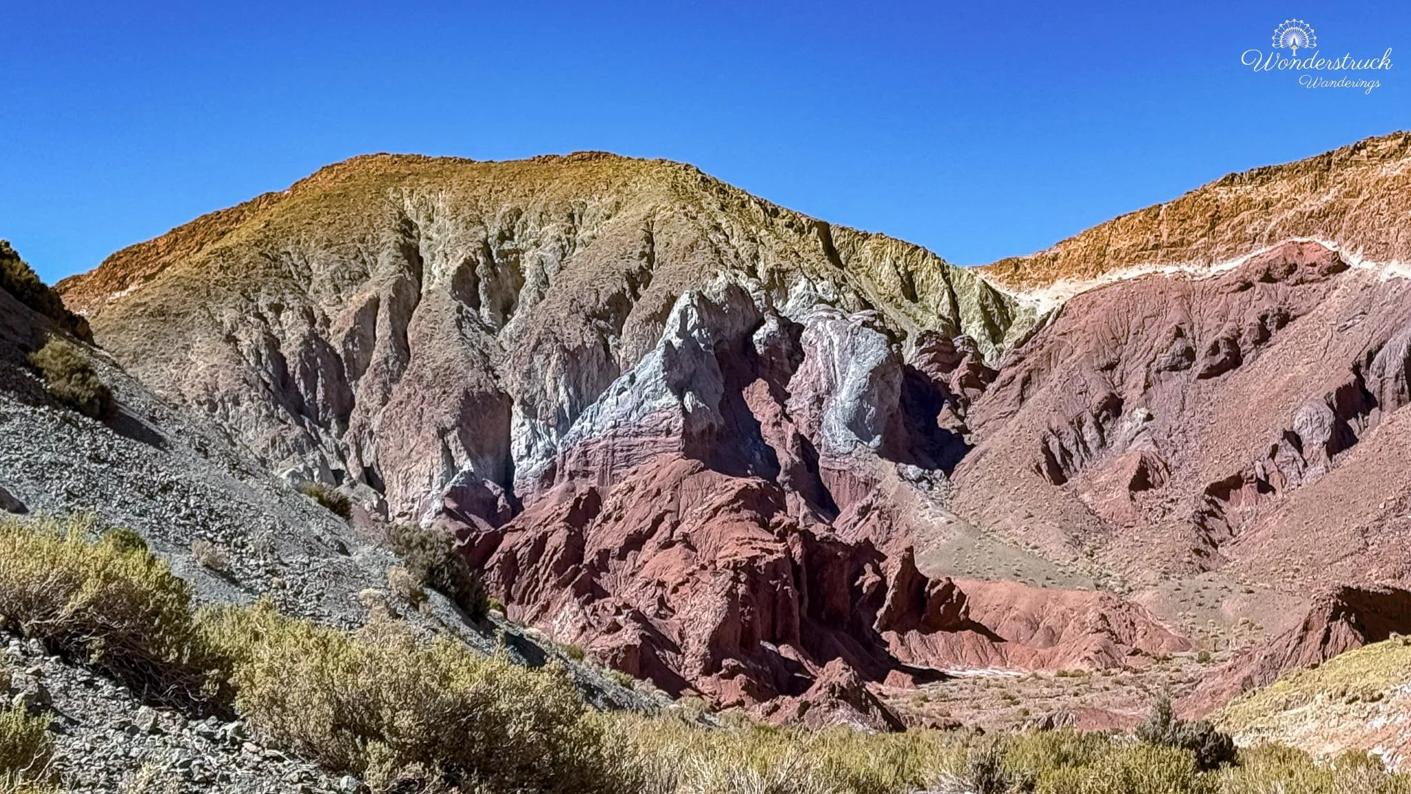
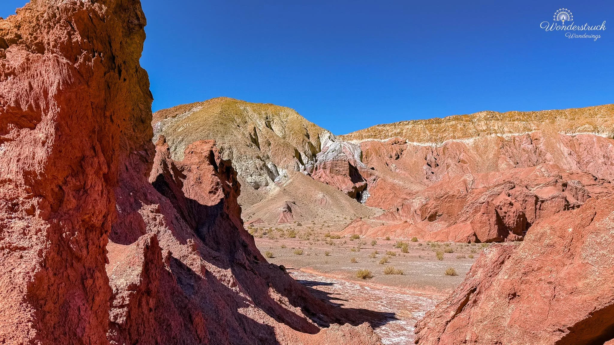
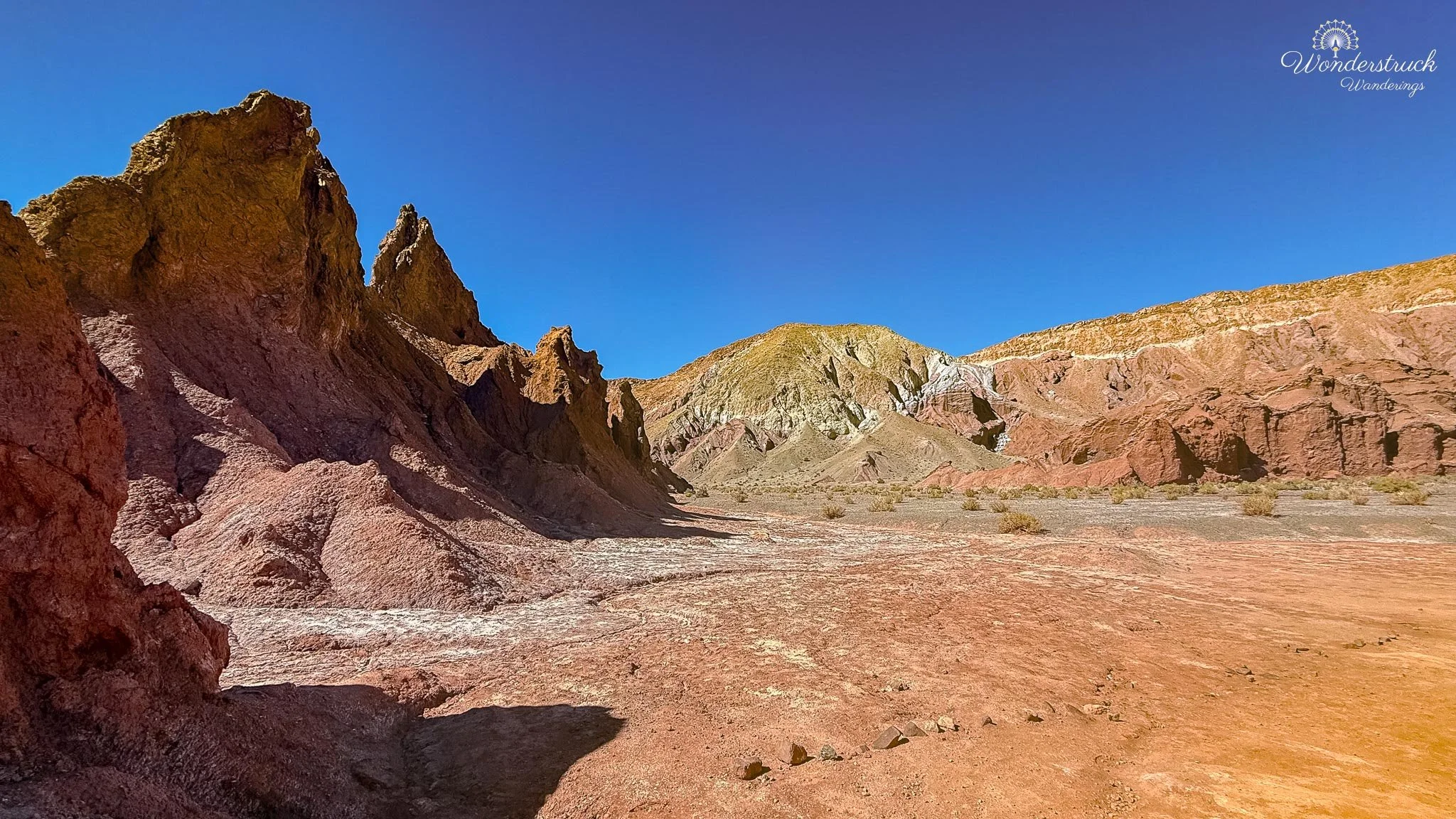
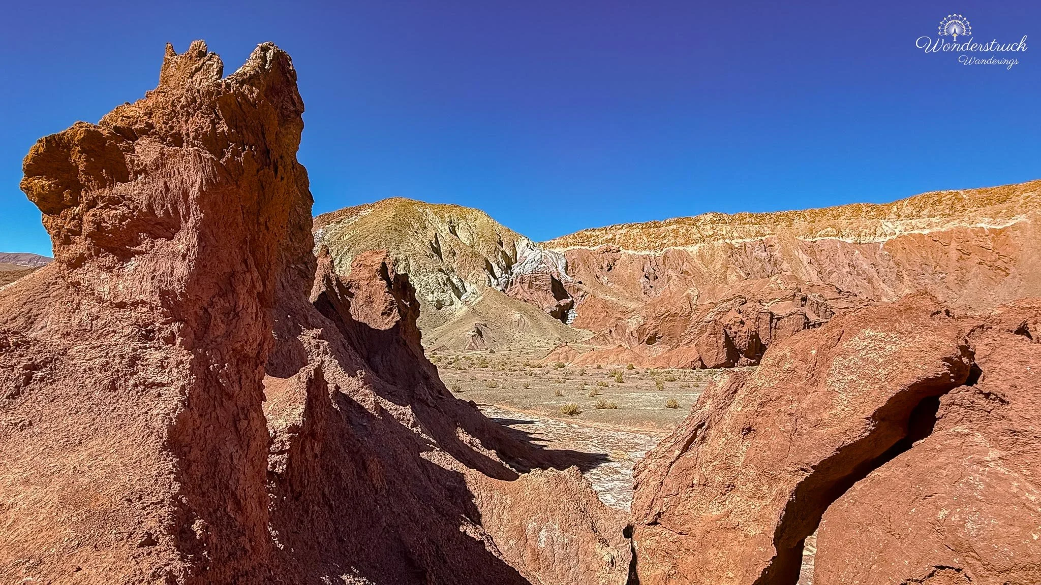
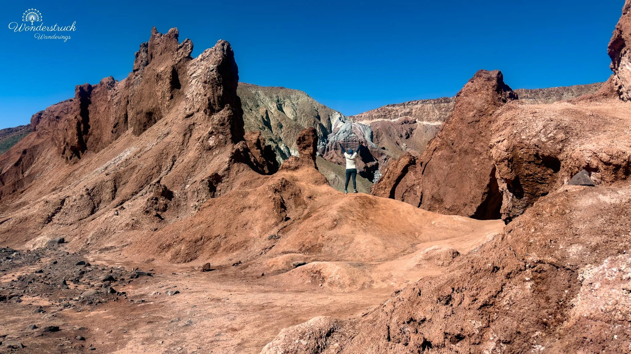
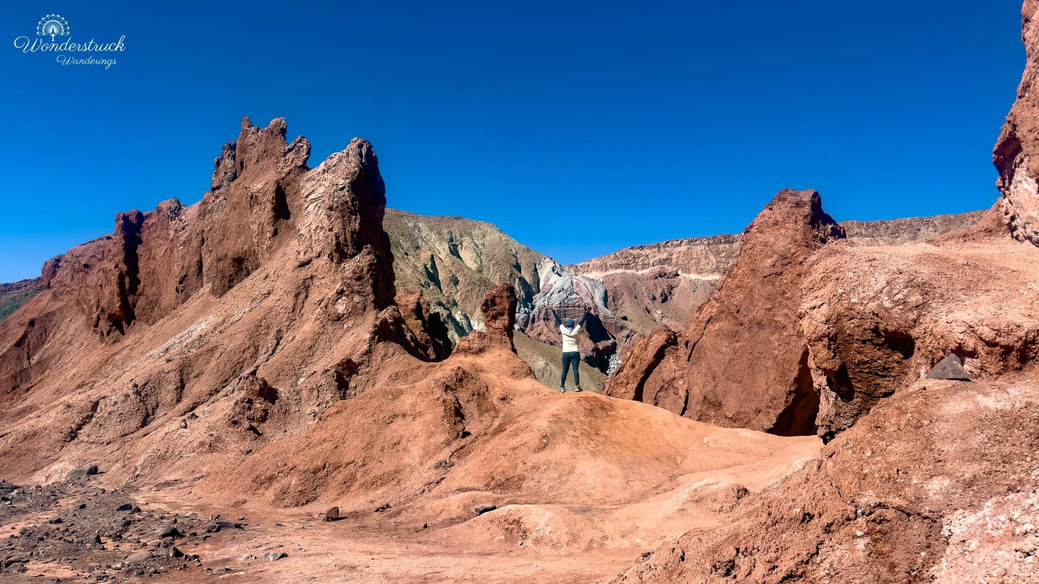
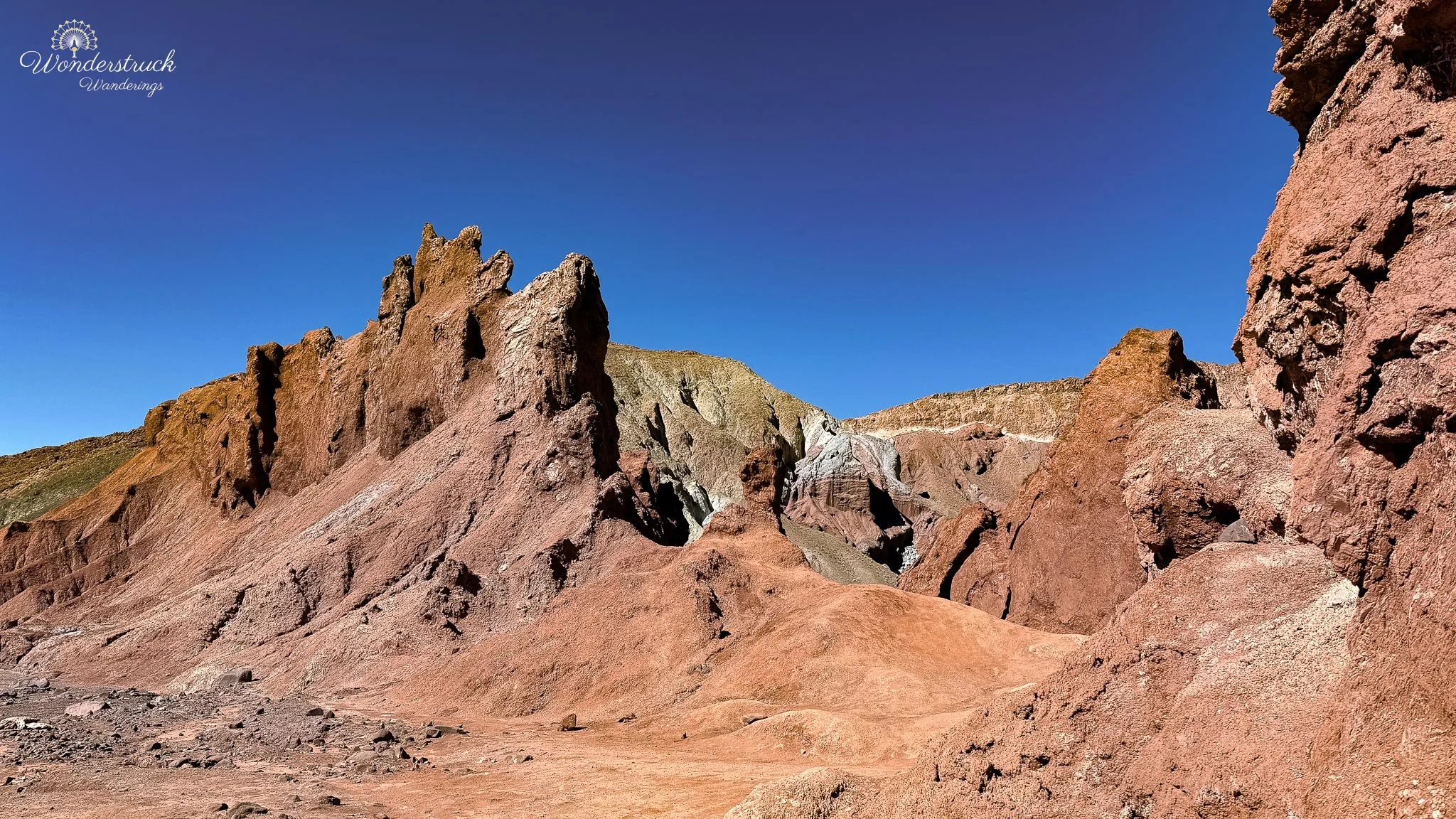
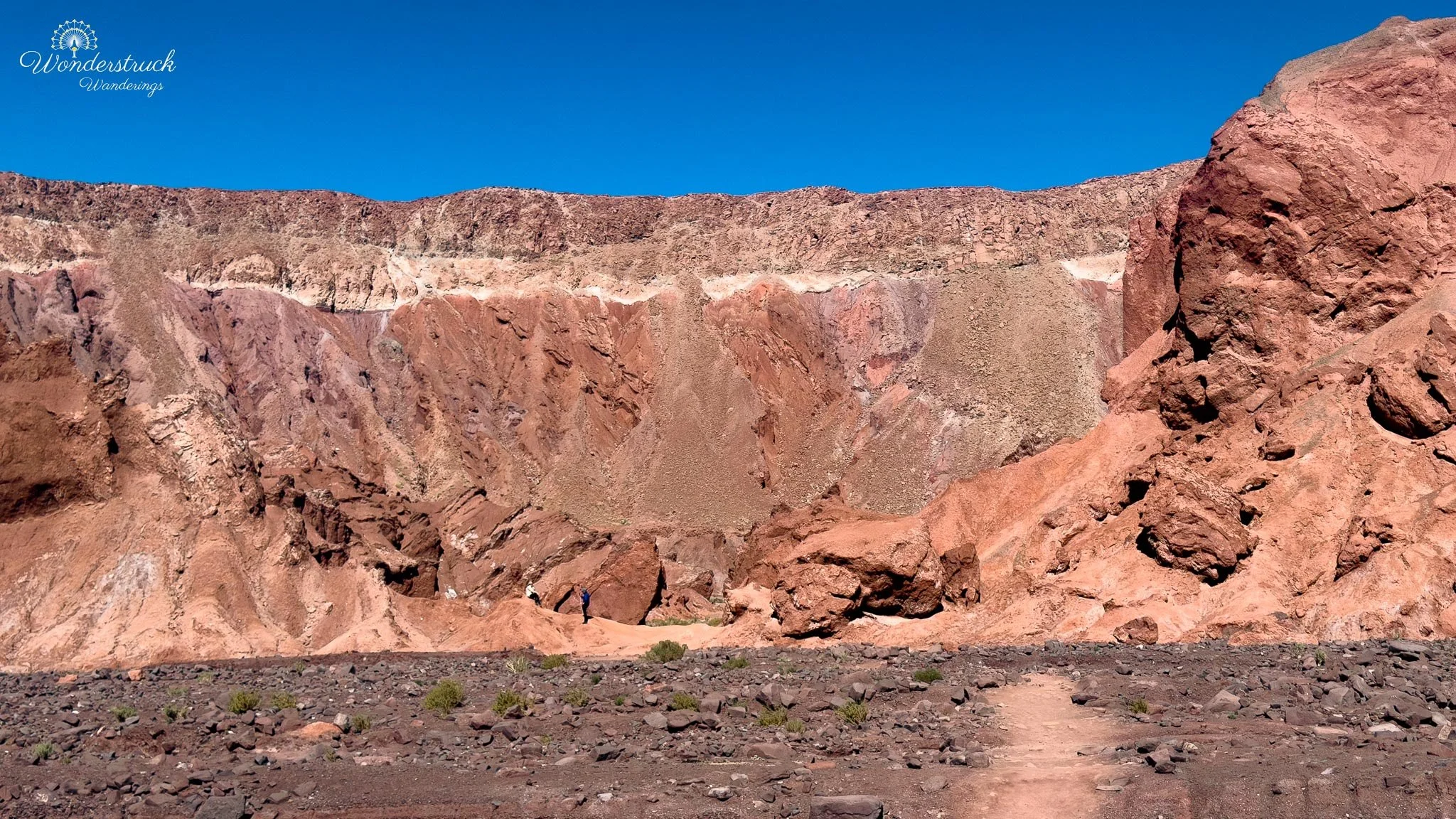
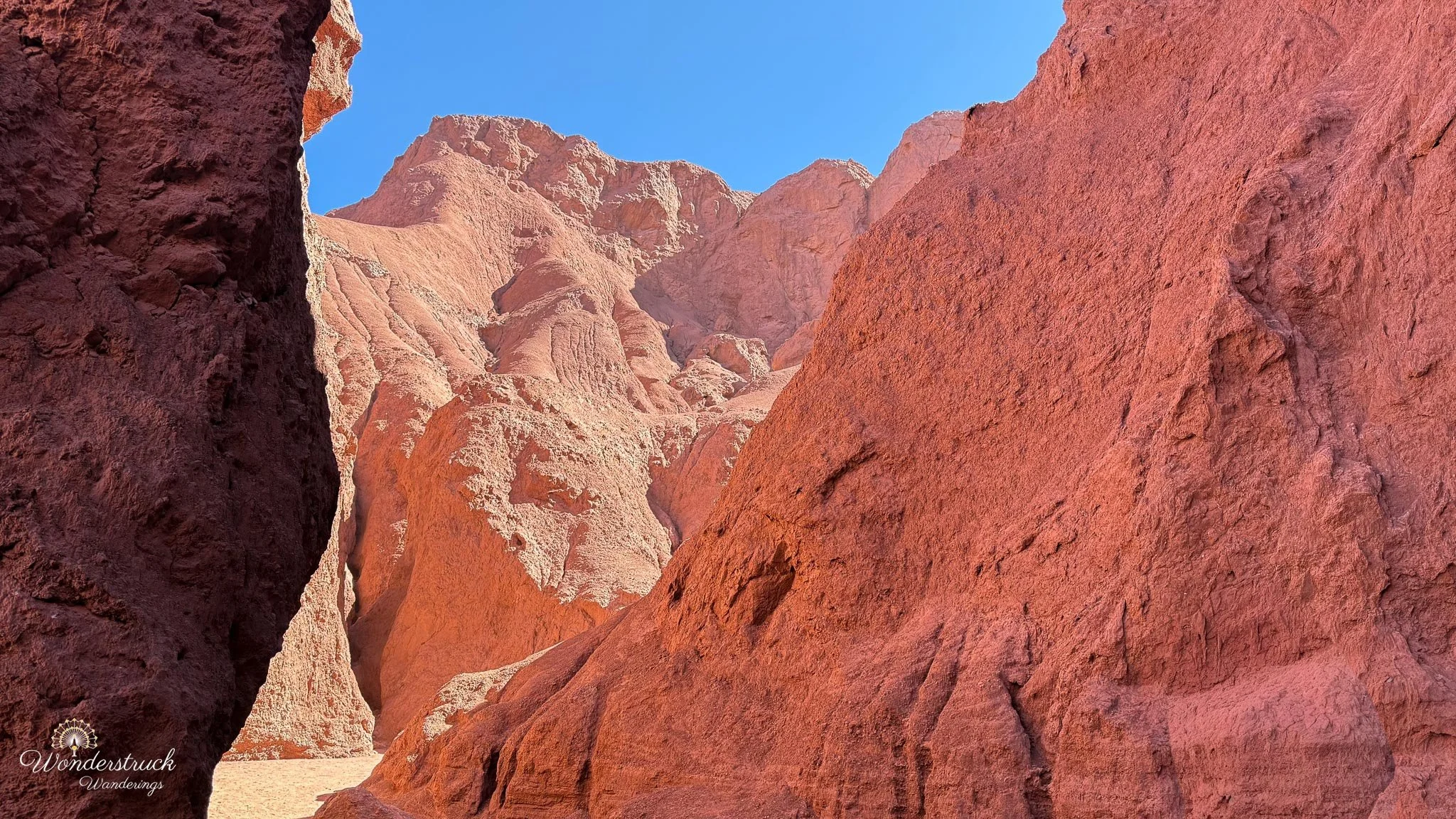
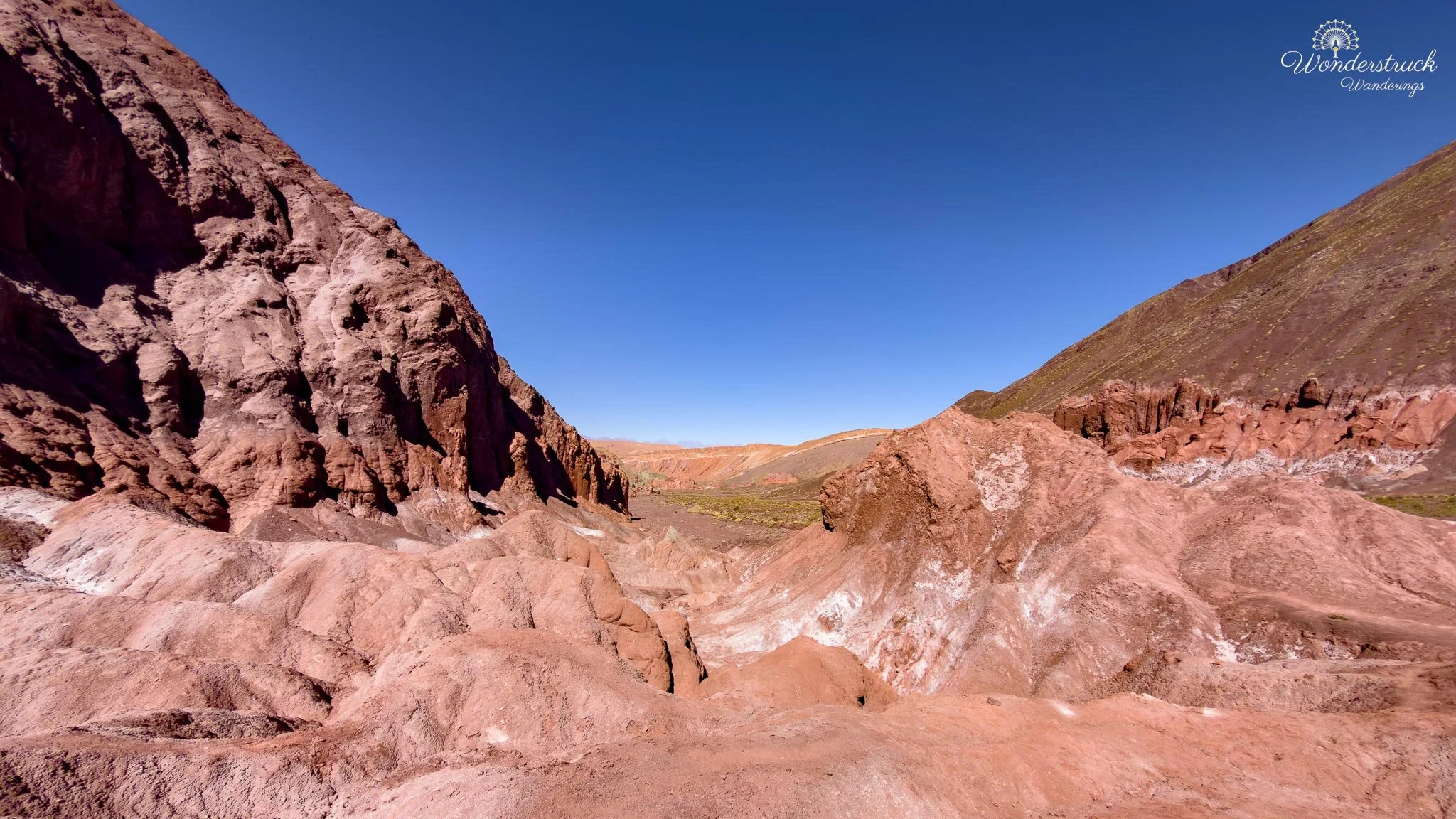
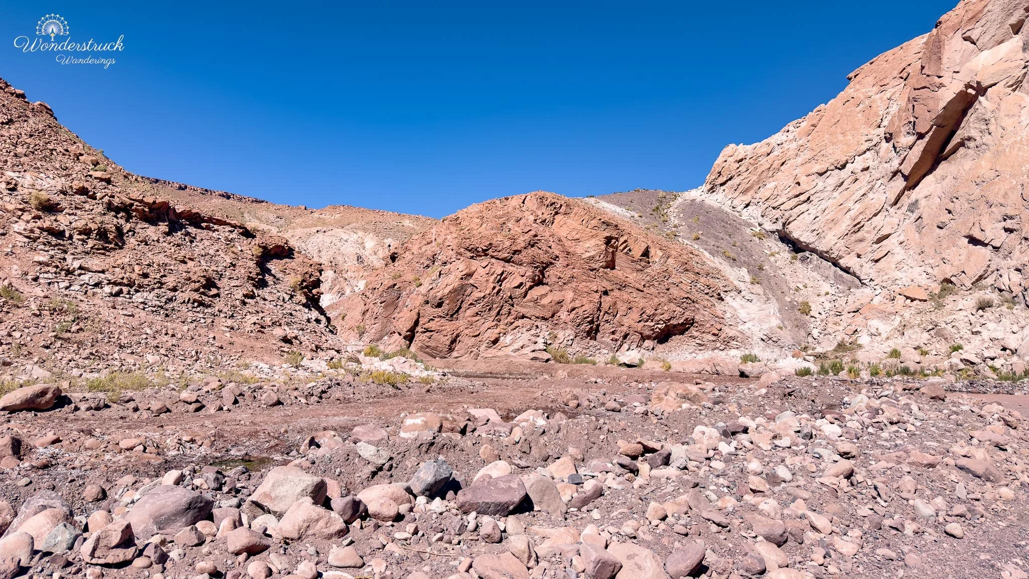
We then descended and followed the marked trail until it reached the riverbed. The rock formations along this stretch were beautiful in a more tactile way. Some walls were rough and red, others smoother and pale, and the mineral bands made the whole place feel like the desert had been painted from the inside out. You could see how water, wind, and time had worked through softer layers, carving channels, exposing color, and leaving towers where harder rock resisted erosion. The trail could have ended there for us, but we continued along the dry riverbed. This section was good for birding. In this stretch of Valle del Arcoíris, we saw Black Siskin and Black-hooded Sierra Finch working through the dry habitat. They were small birds in a large, sculptural landscape, easy to miss if we had only been focused on the colored hills and rock formations. Their movement brought life into a place that otherwise felt still, mineral, and wind-shaped.As the riverbed bent to the right, a small path joined the drivable road. We could have taken that and walked back along the road, but we chose to trace our original path back instead. That was the better choice for us because the reverse angle changed the view completely. The same formations looked different on the way back, with new shapes, shadows, and color bands appearing from the opposite direction.
Cascada Seca, Side Roads, and Yerbas Buenas Petroglyphs
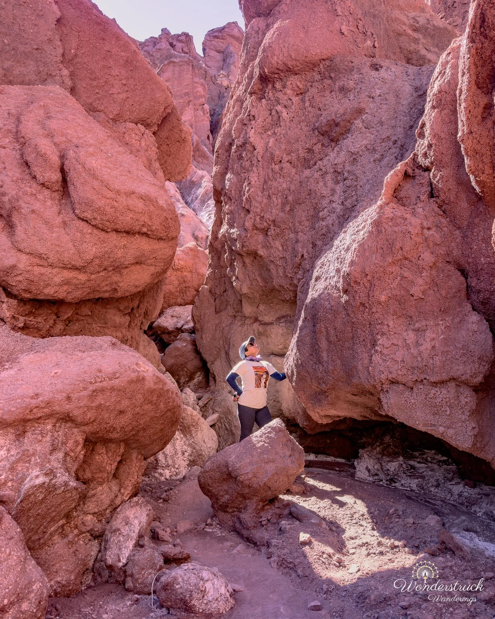
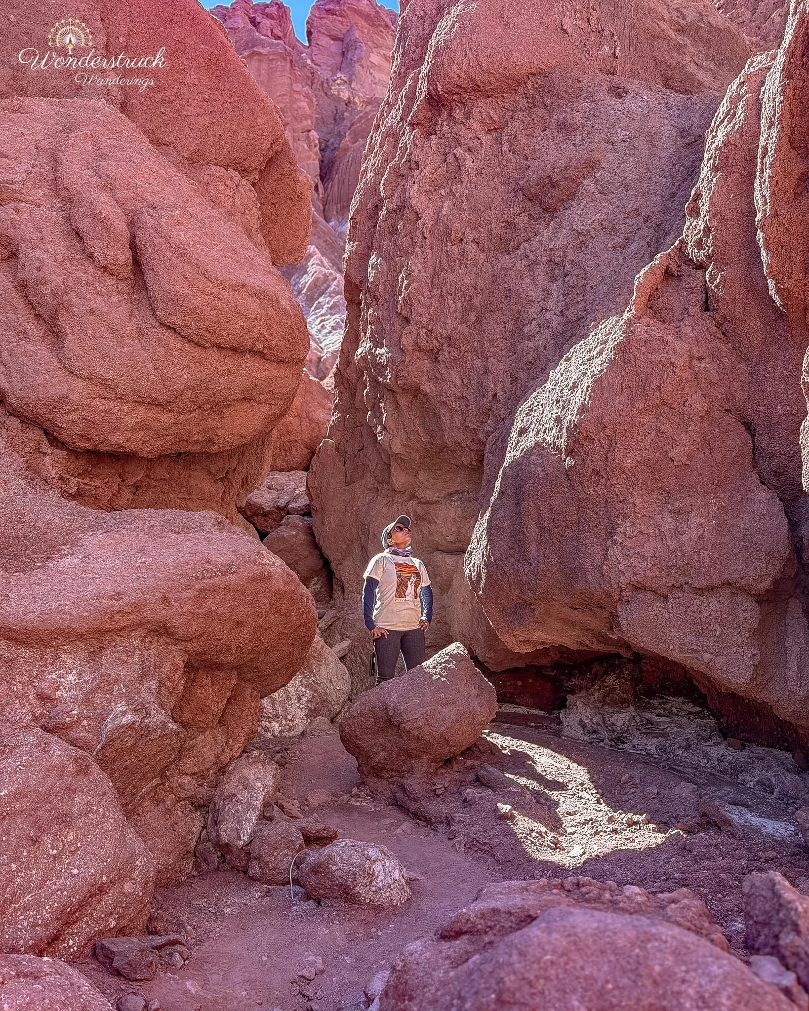
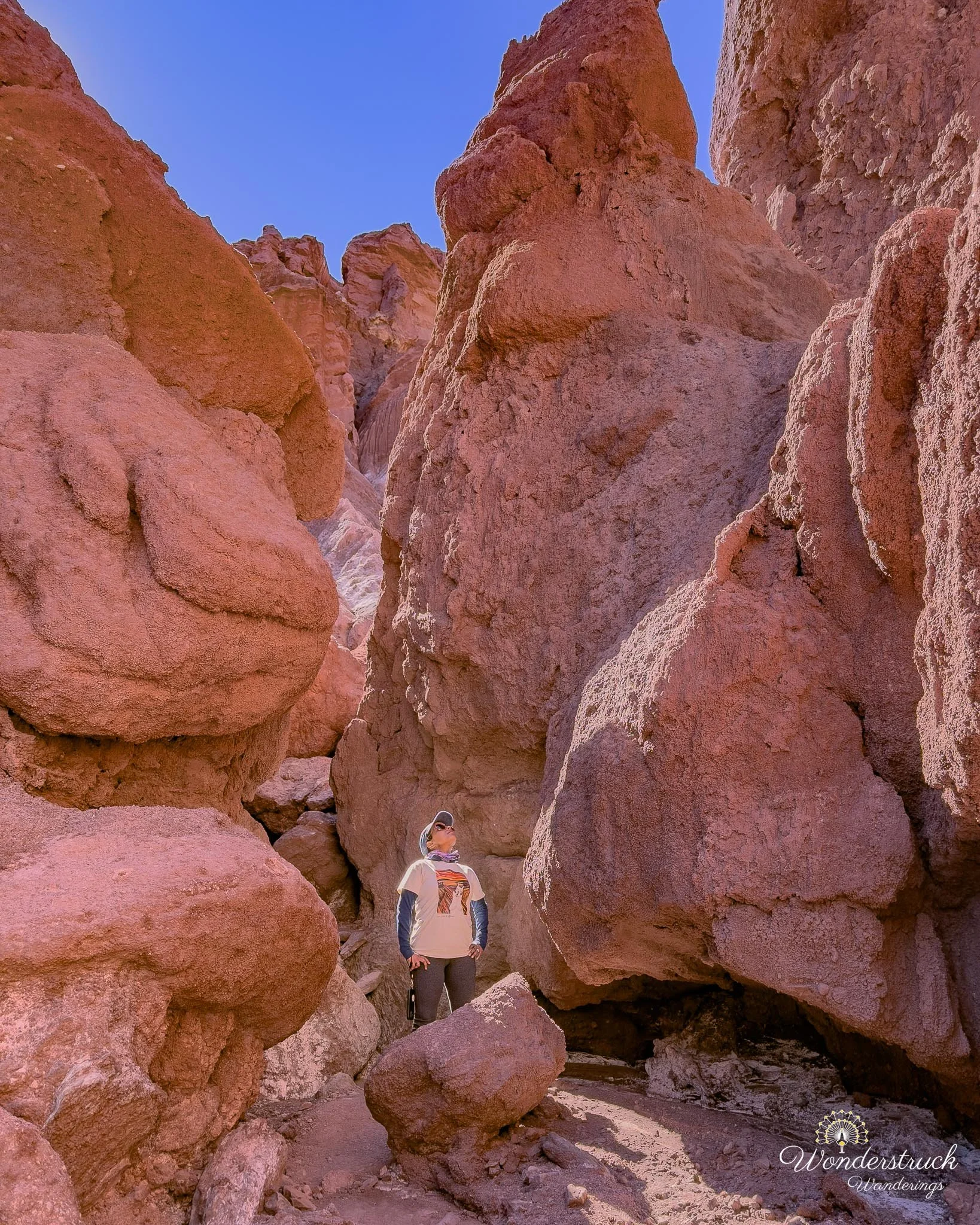
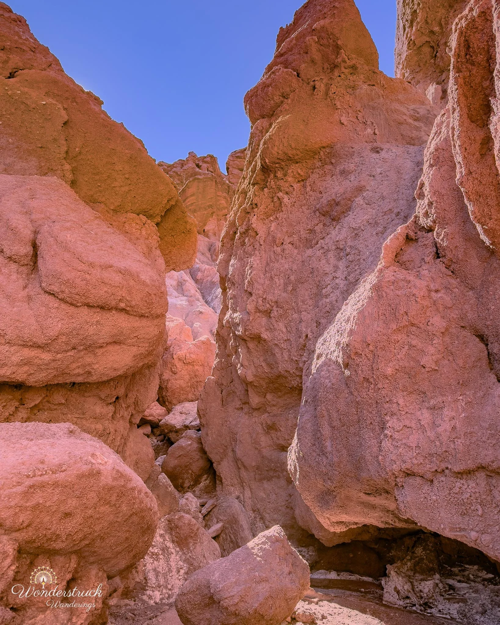
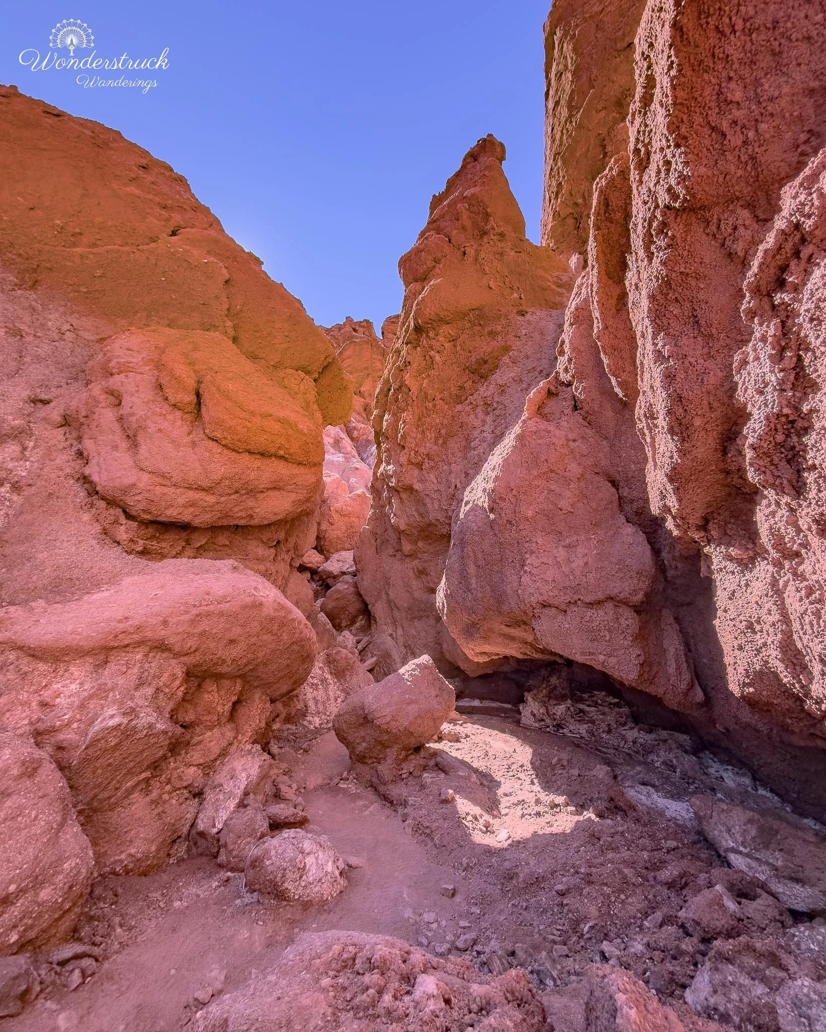
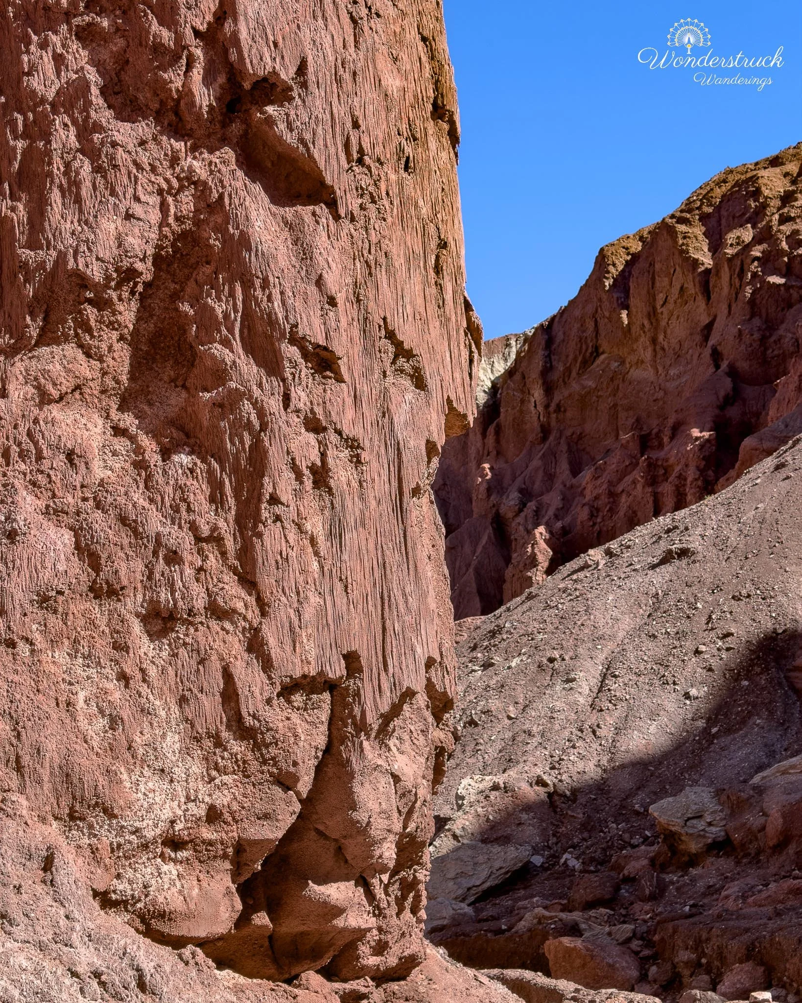
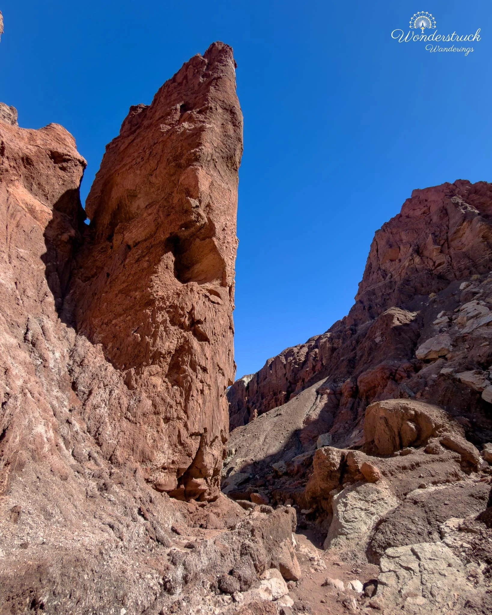
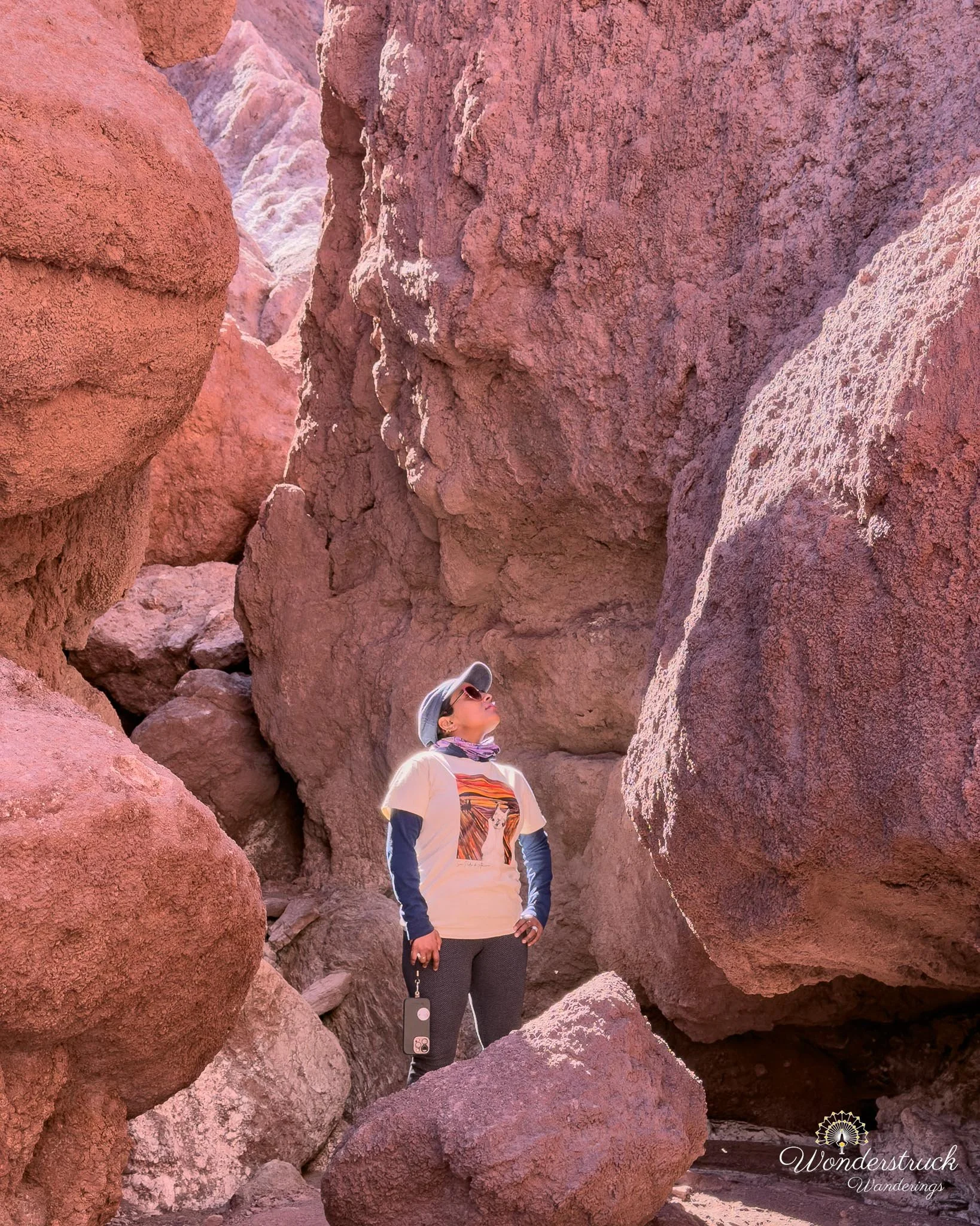
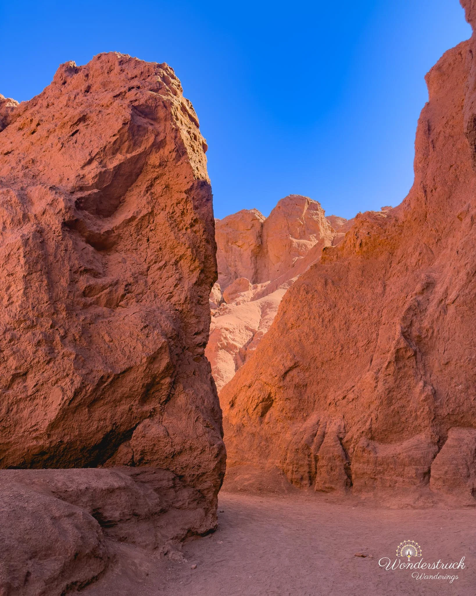
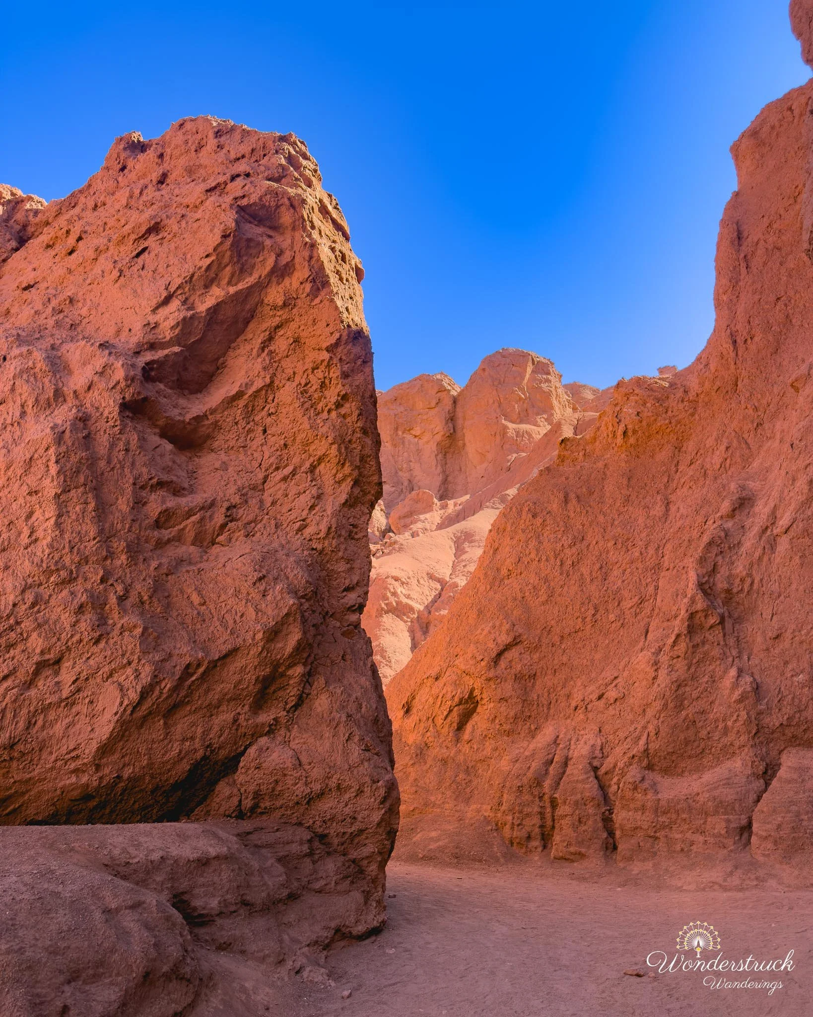
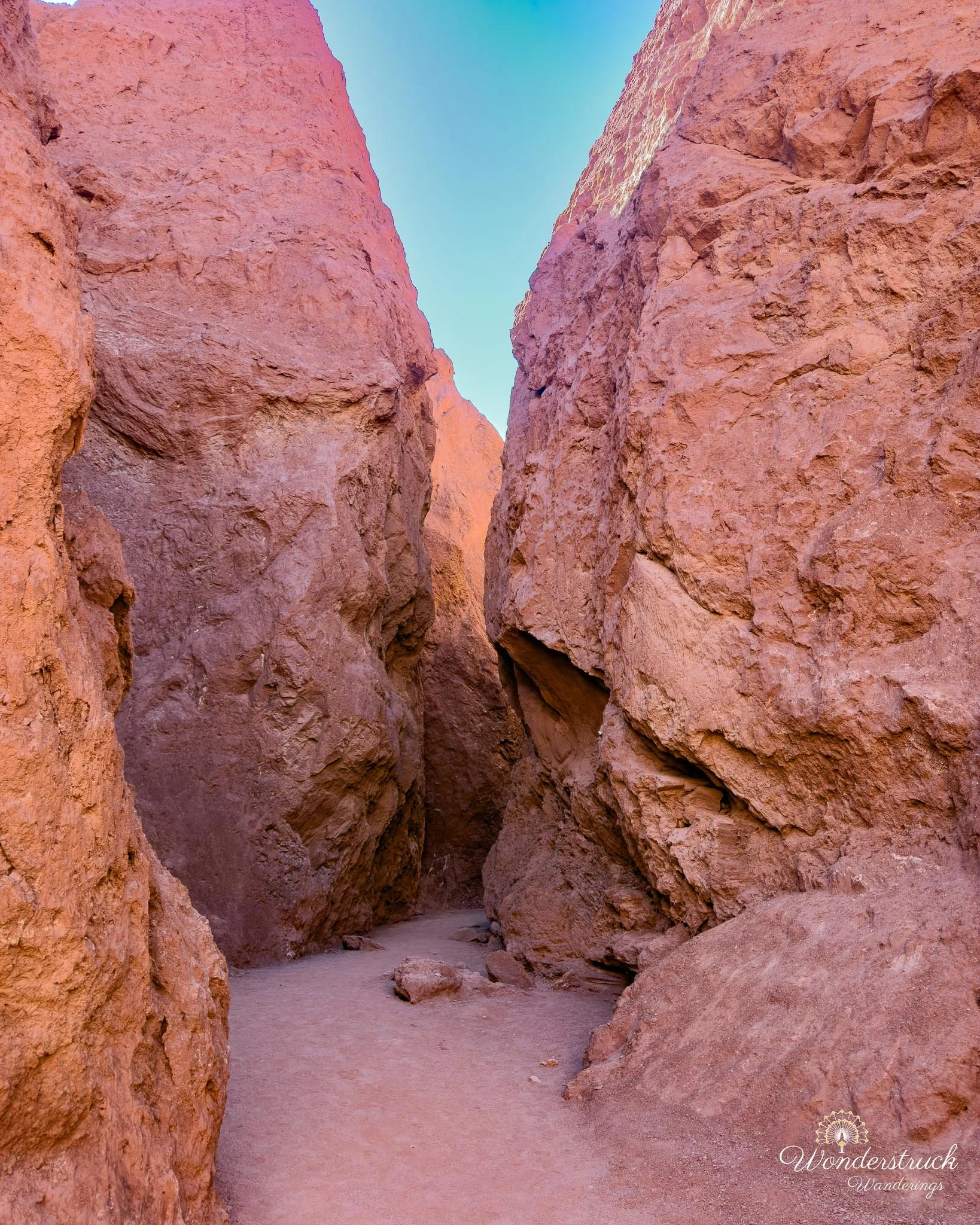
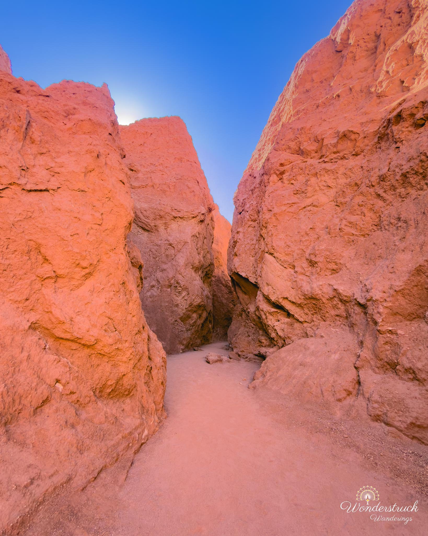
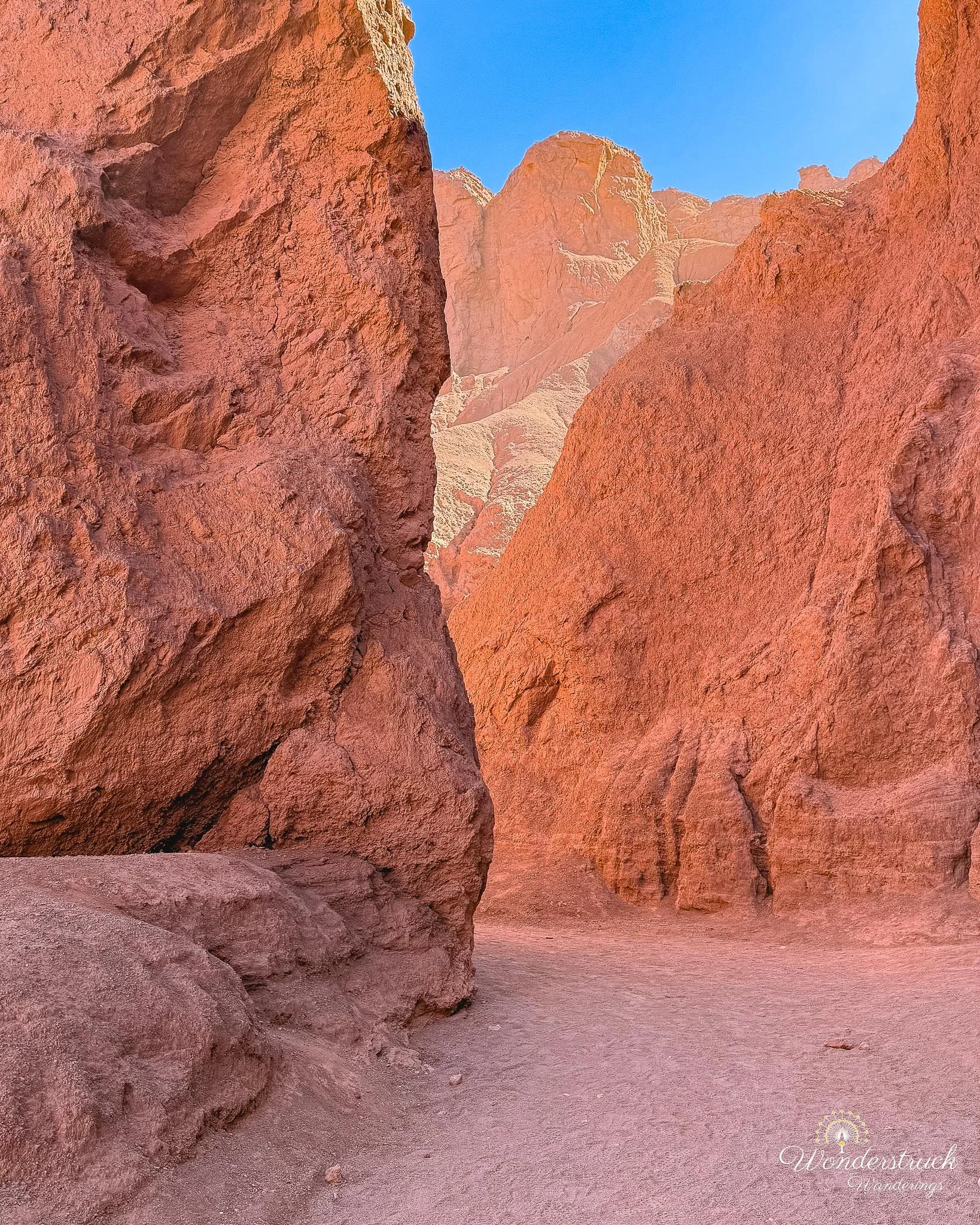
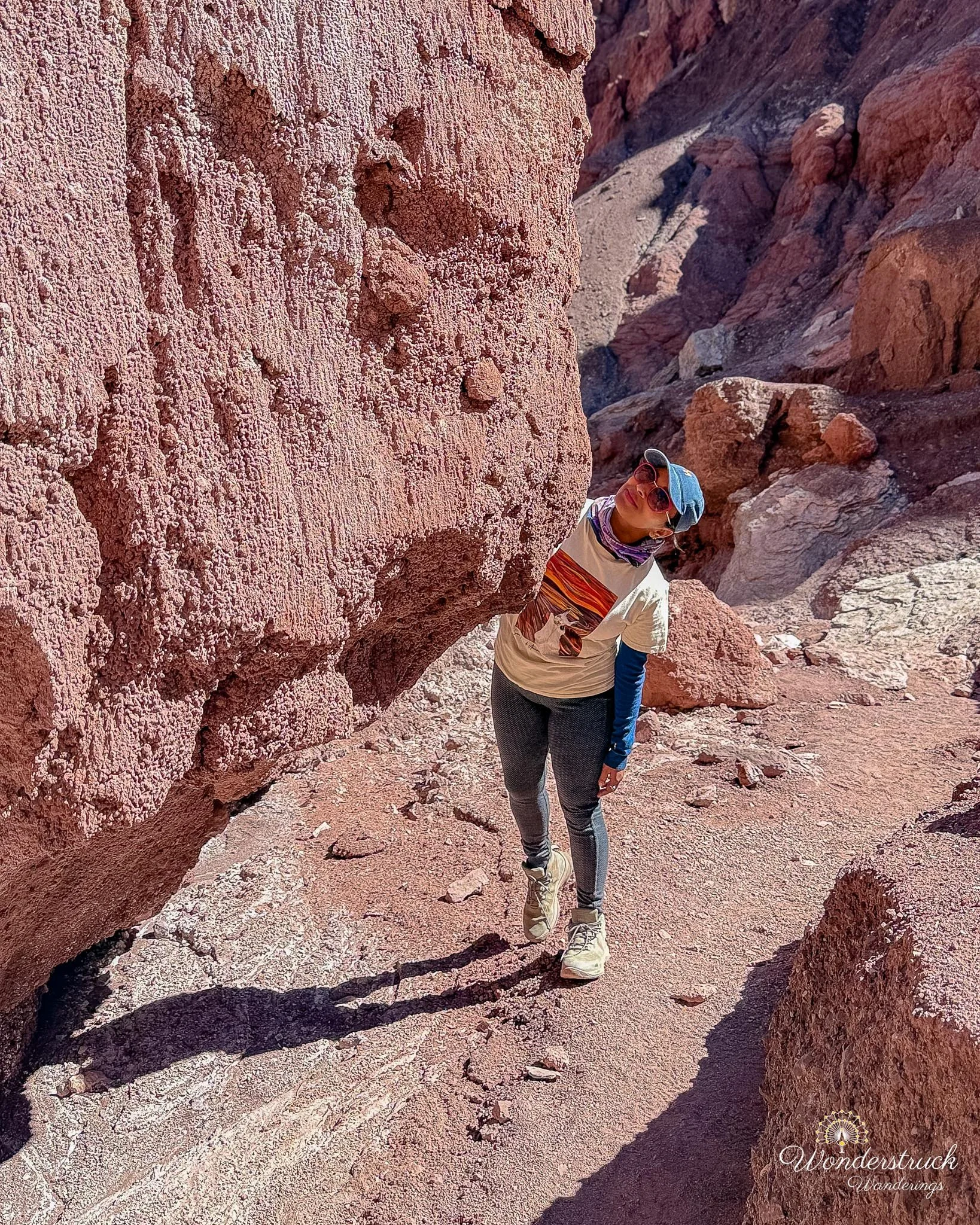
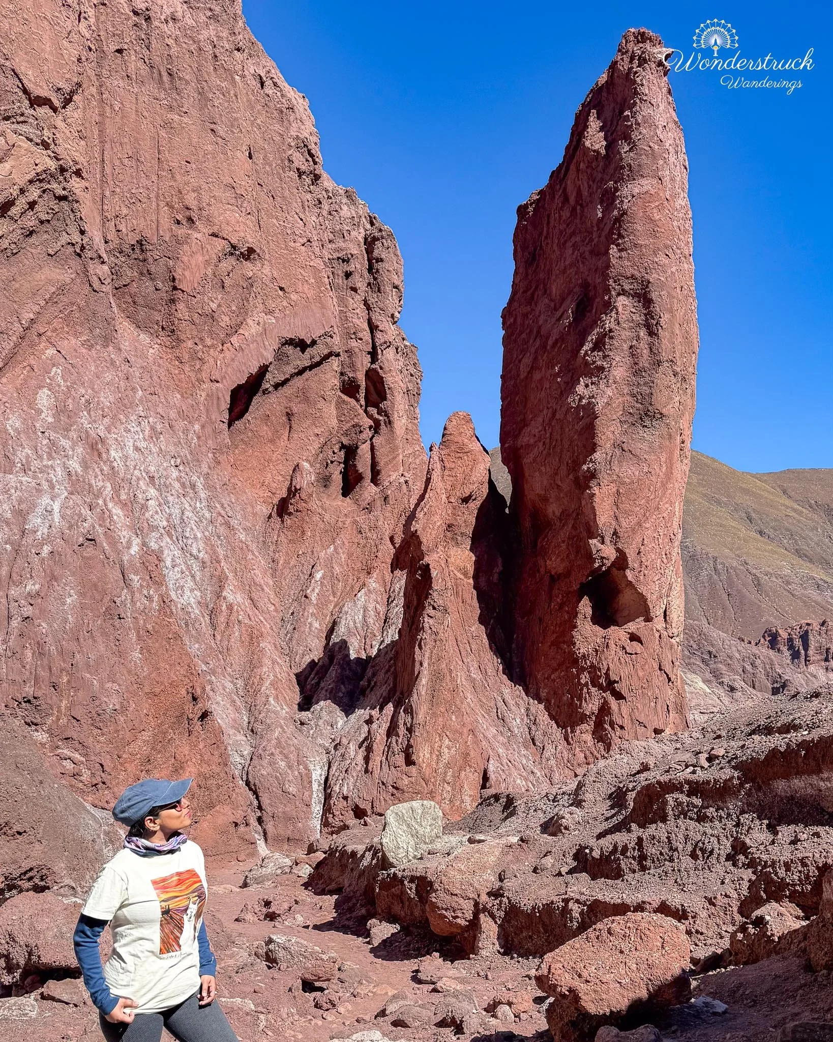
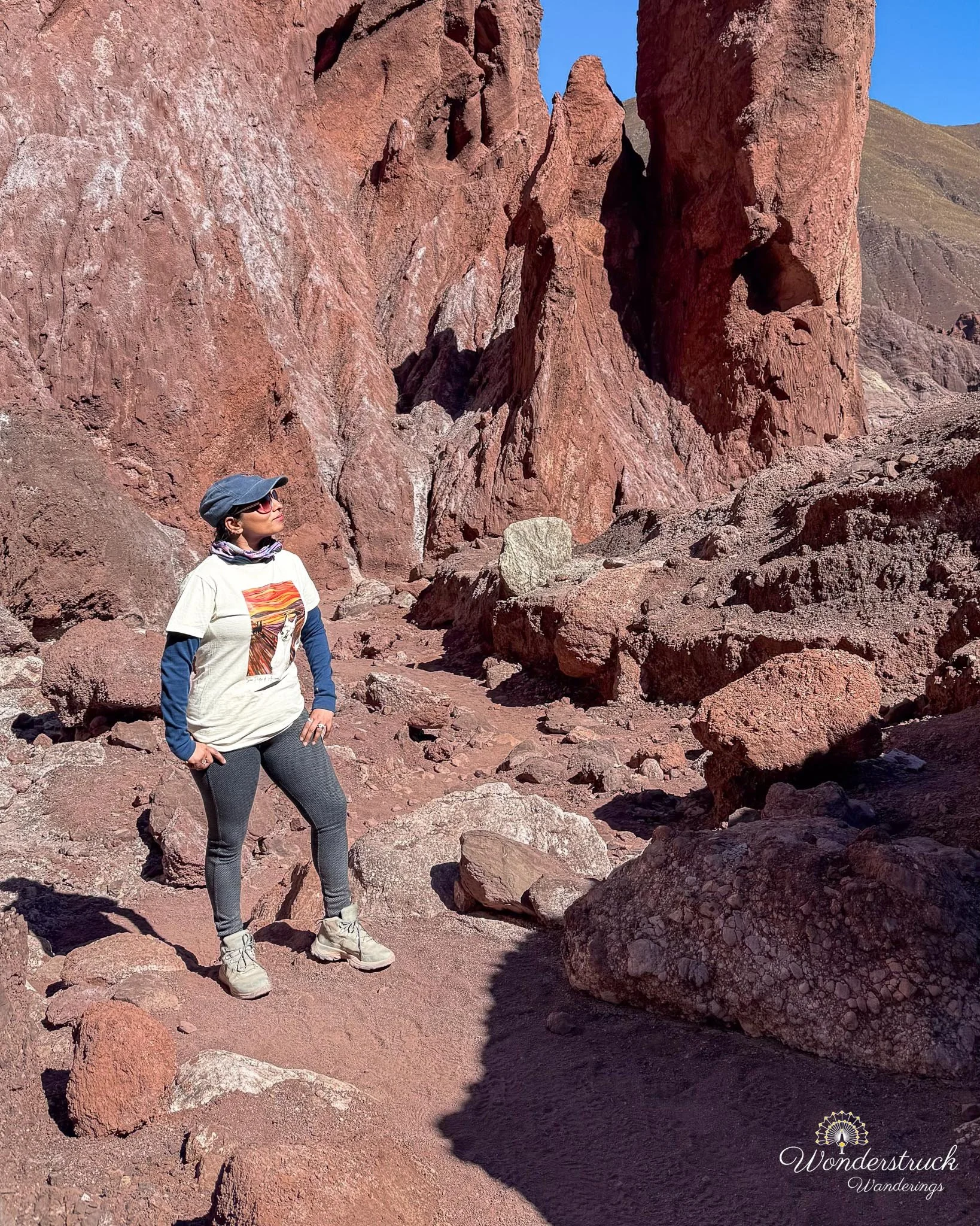
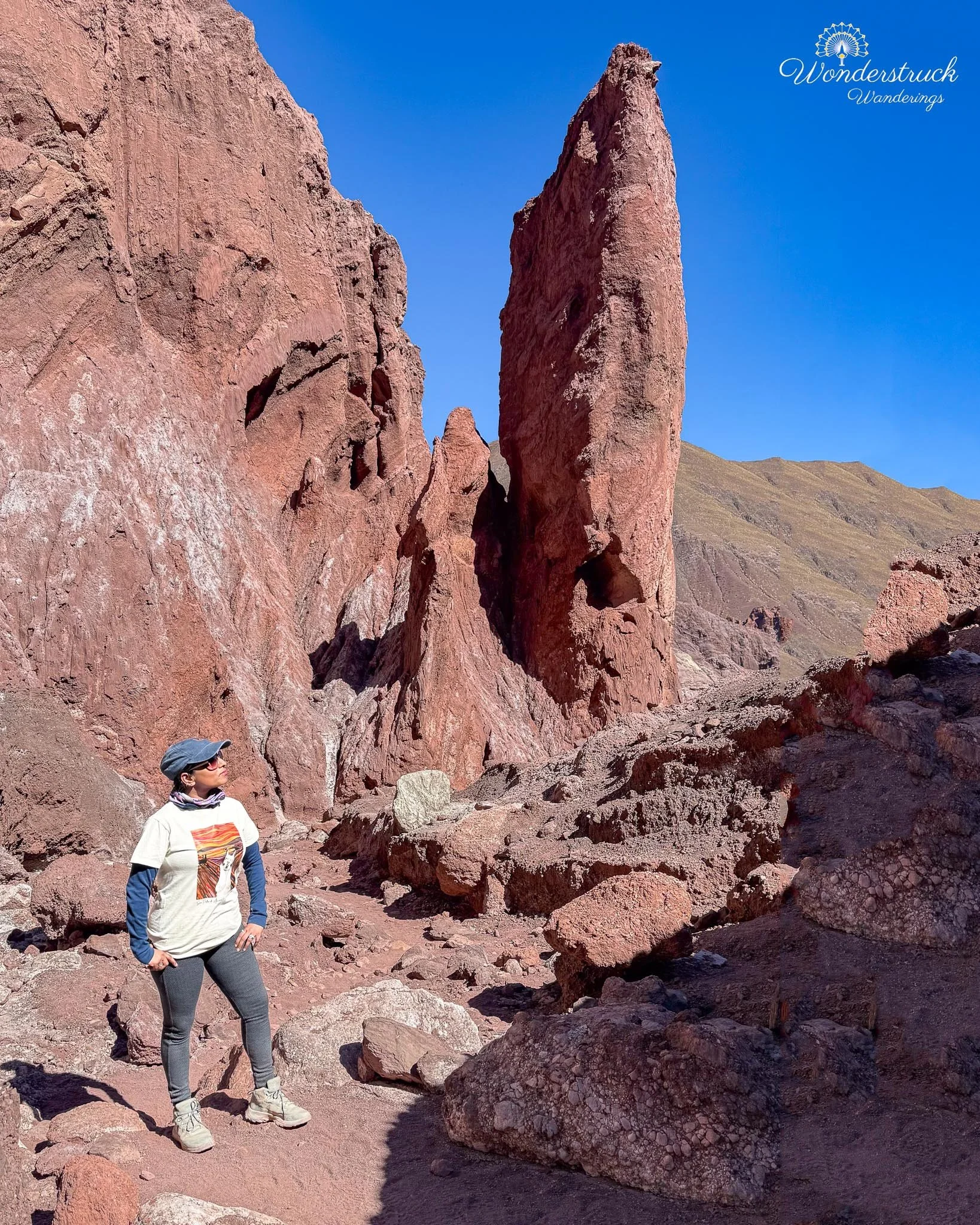
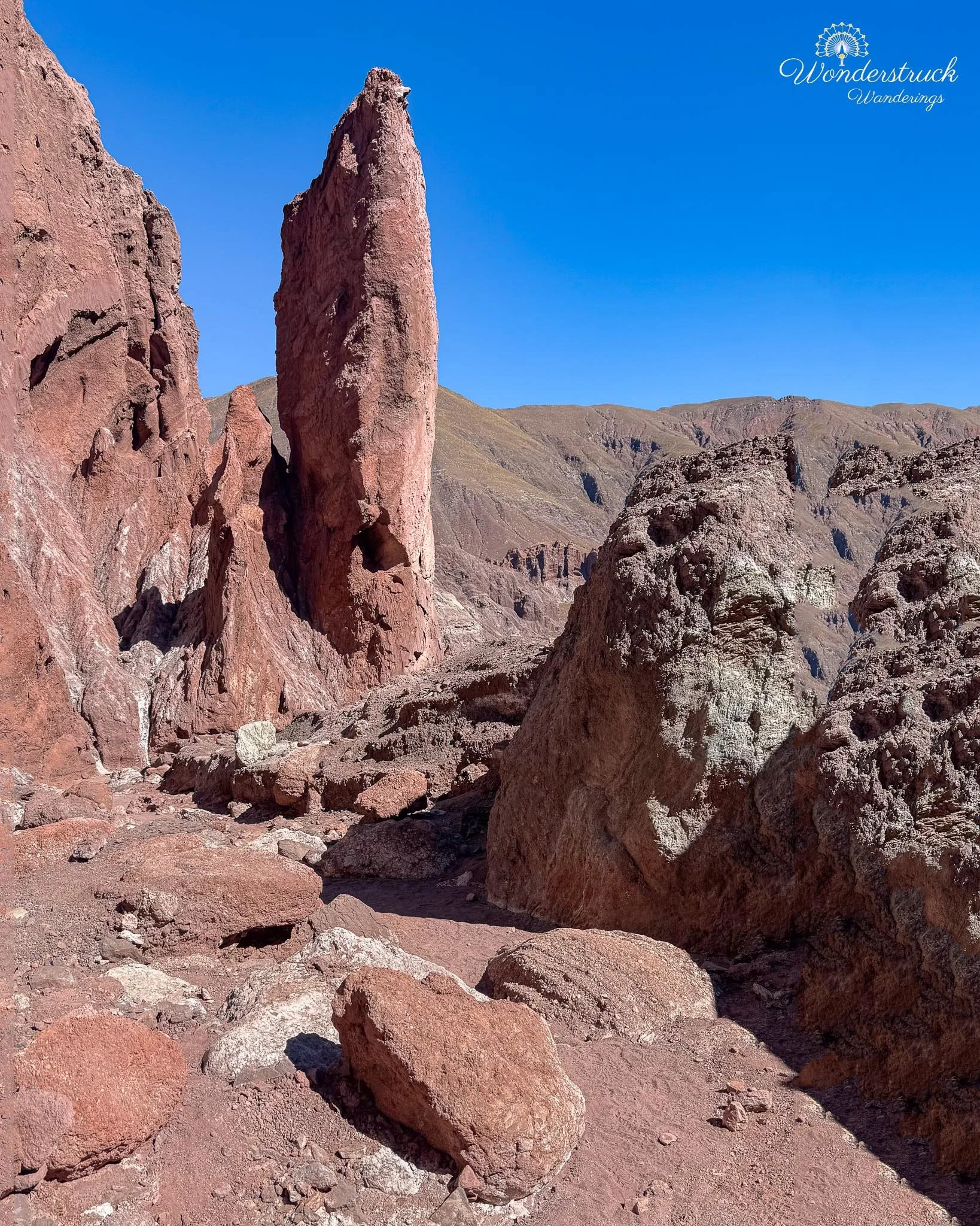
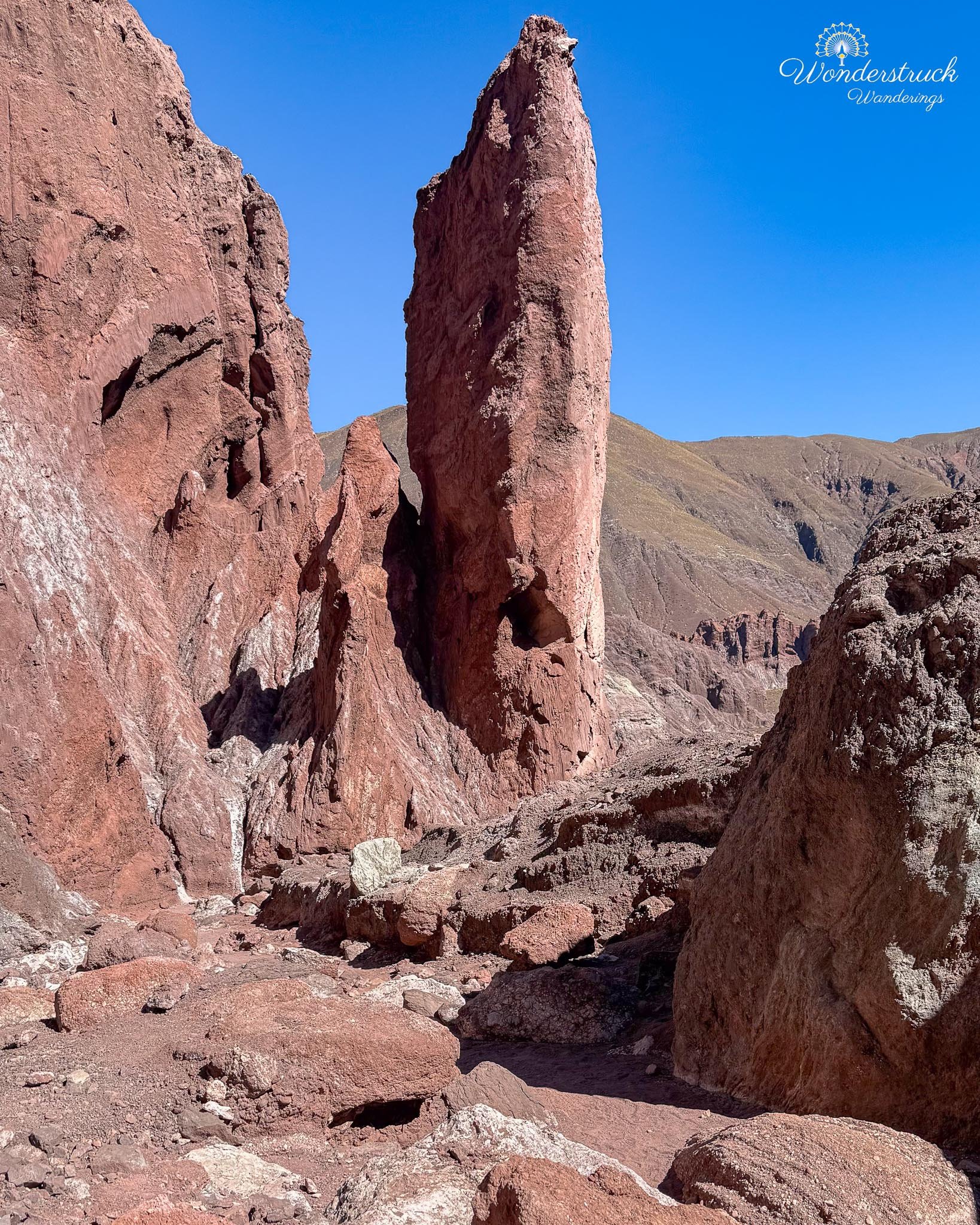
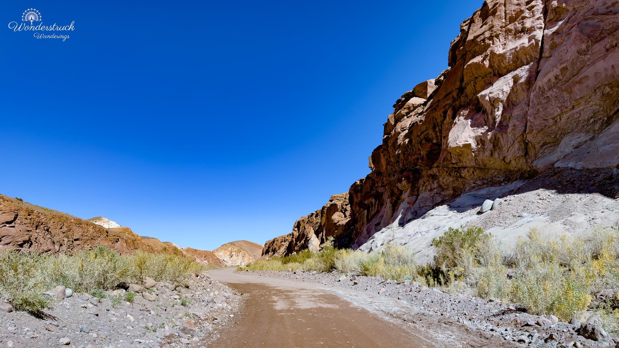
Back in the car, we continued driving until the road split into a Y. Taking the right branch leads to a section called Cascada Seca, or dry cascade. I would suggest doing this section on the return if visiting early in the morning, because when the sun is too low, the inside does not yet have enough reflective light. By the time we reached it, the light was better, and the narrow canyon had that glowing quality we love in desert slots and washes. The walk into Cascada Seca is short. You move between high, narrow walls following the bend of the old water channel. Almost immediately on the right is the most photographed dry cascade, carved by flash floods over time. There is no water running now, but the shape of water is everywhere: smooth curves, polished channels, undercut forms, and vertical surfaces that seem to remember movement. The reflective lighting was mesmerizing.
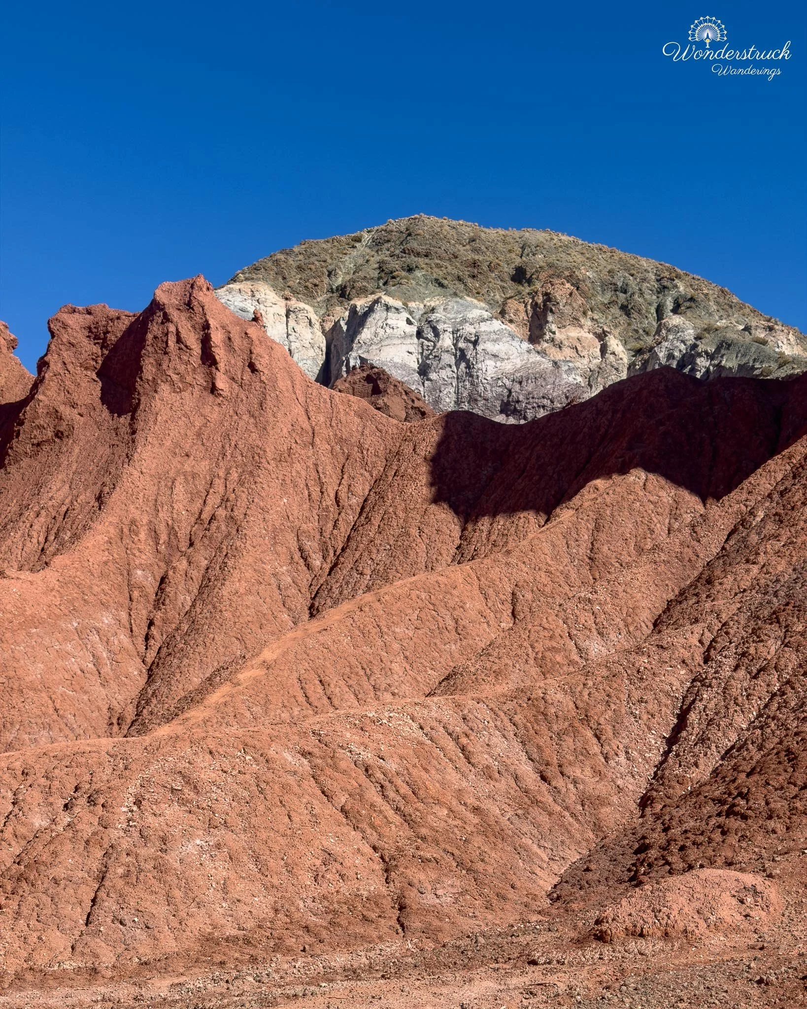
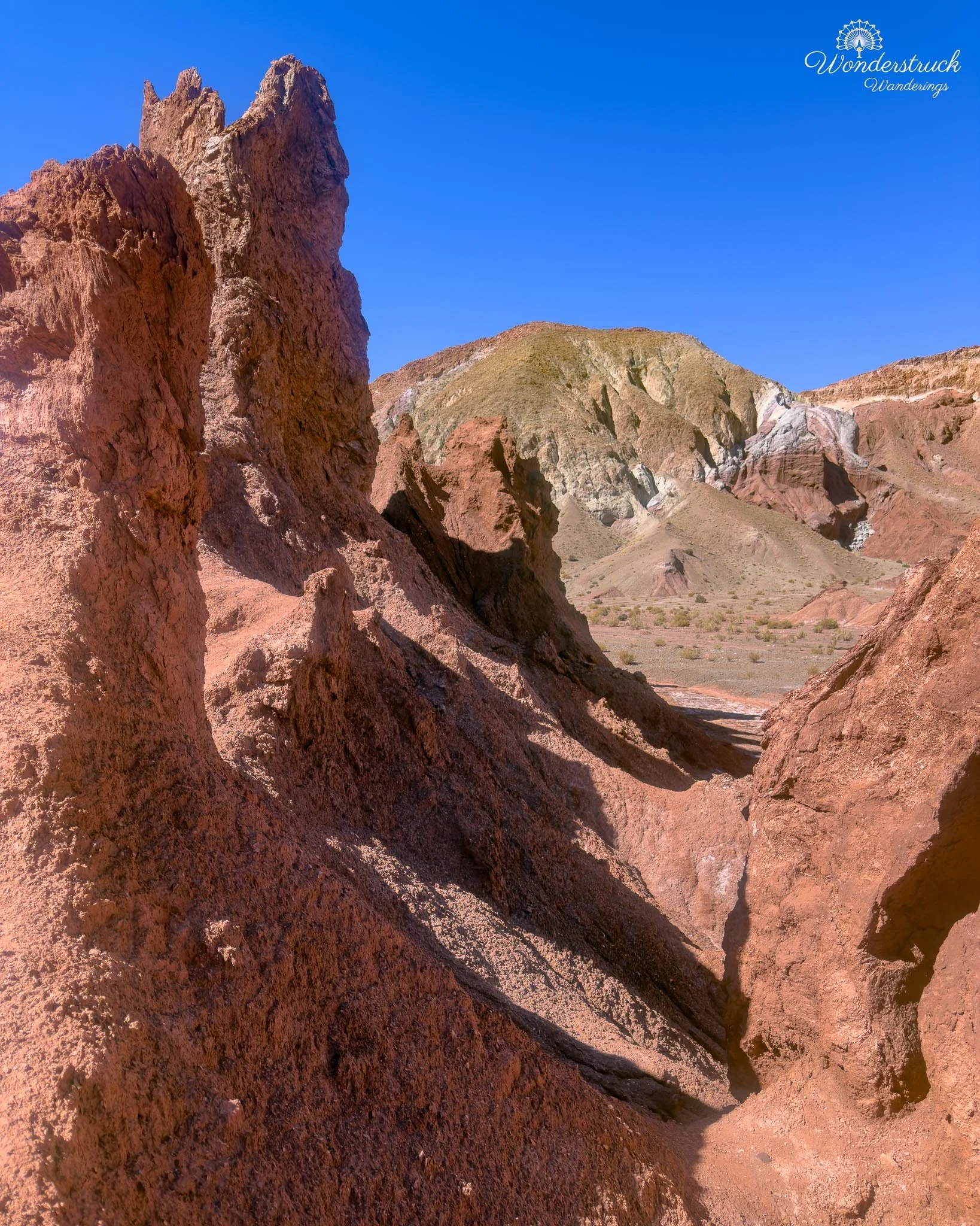
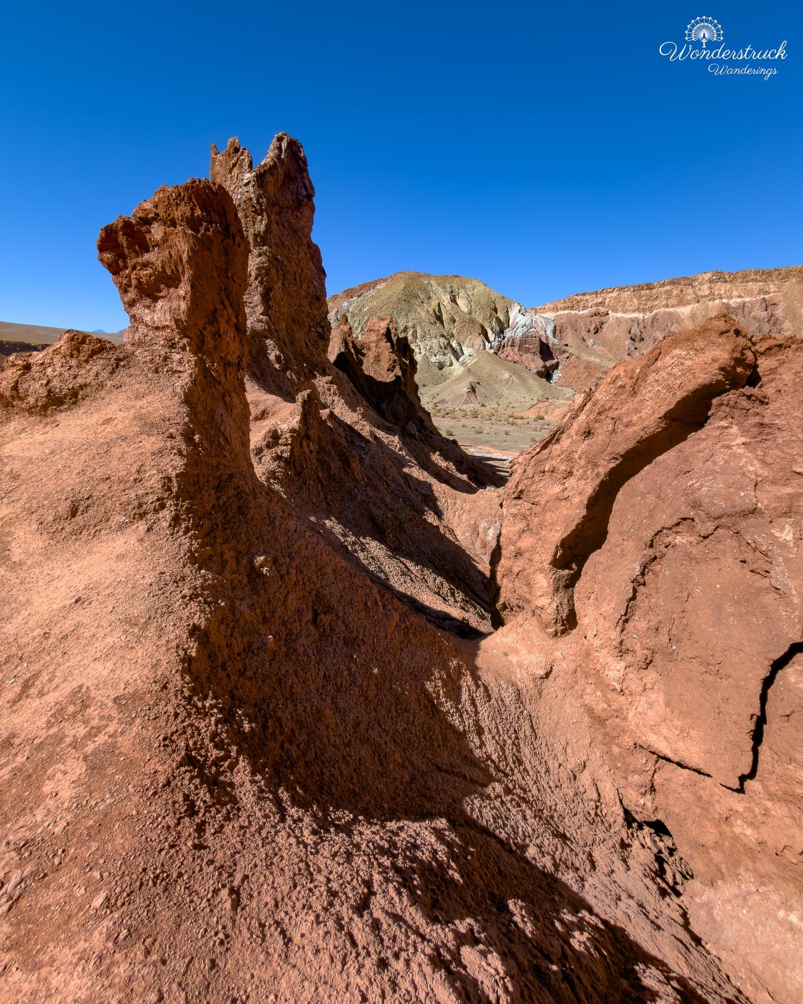
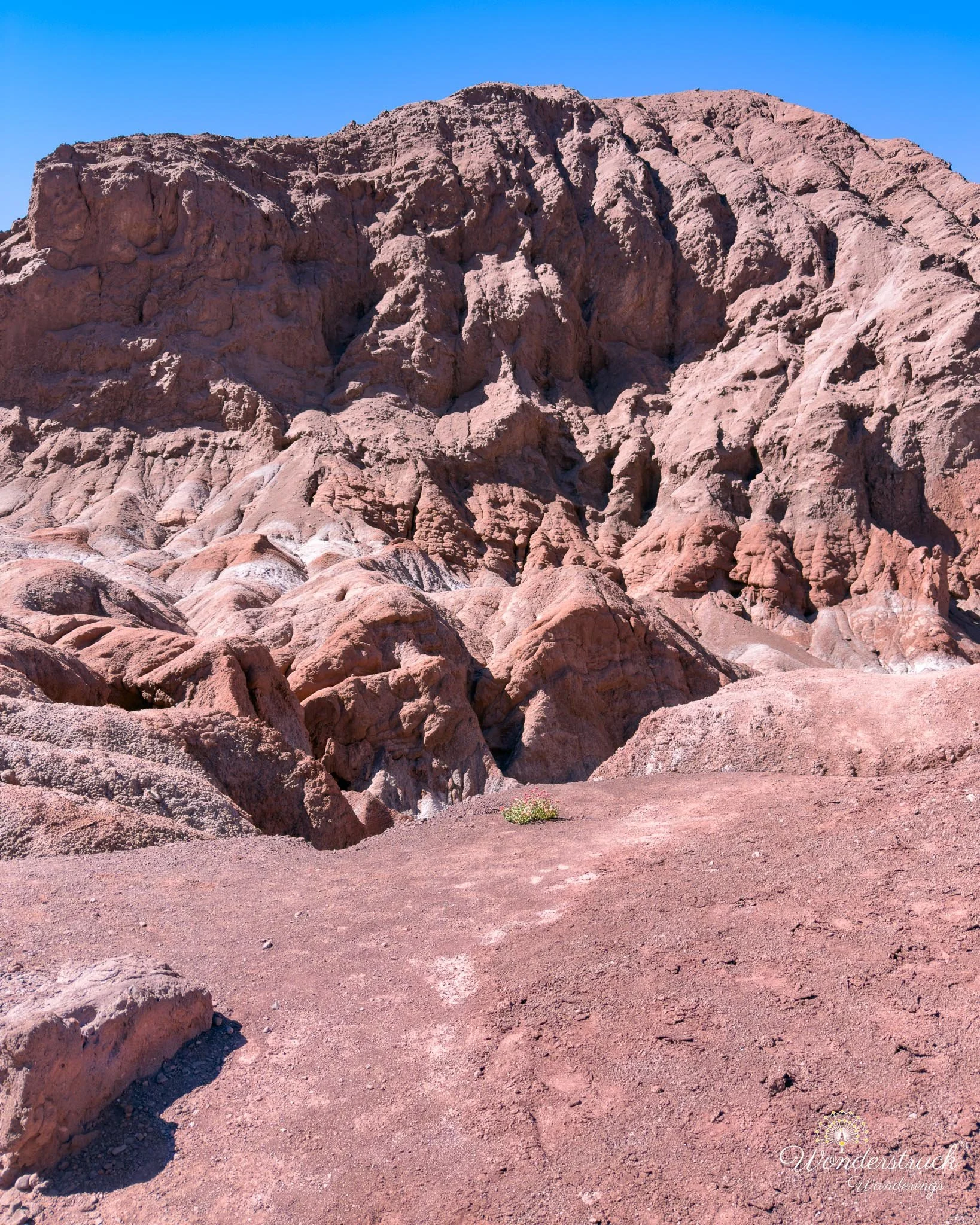
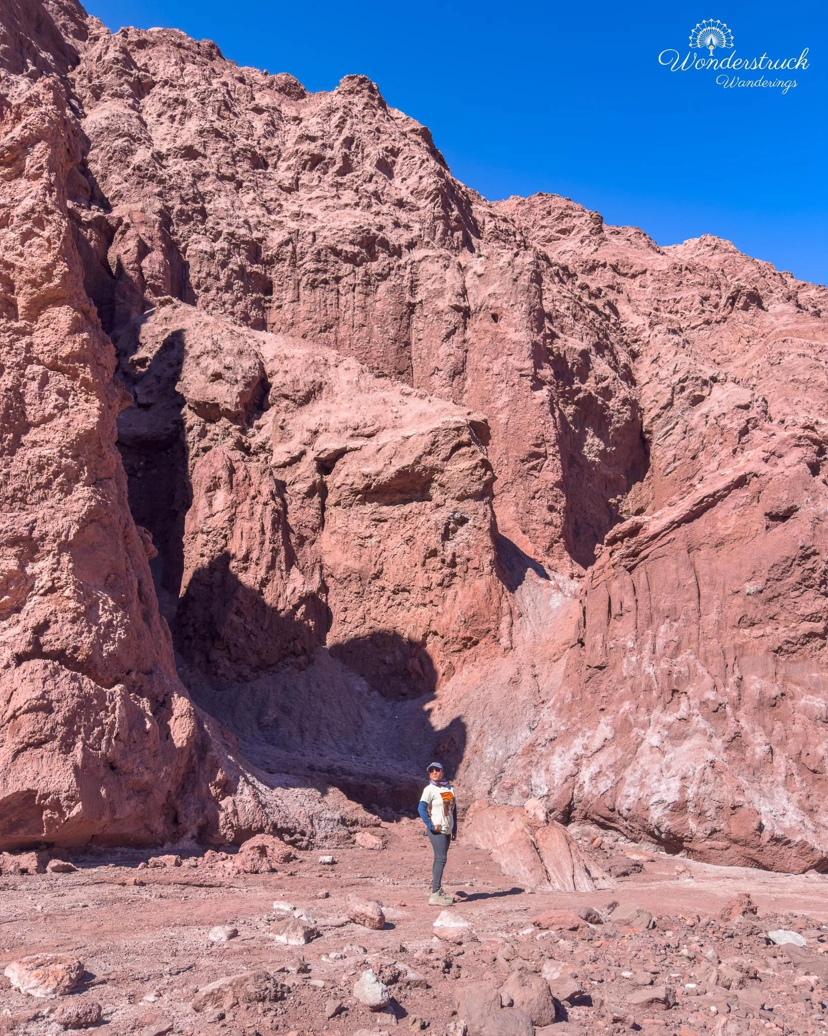
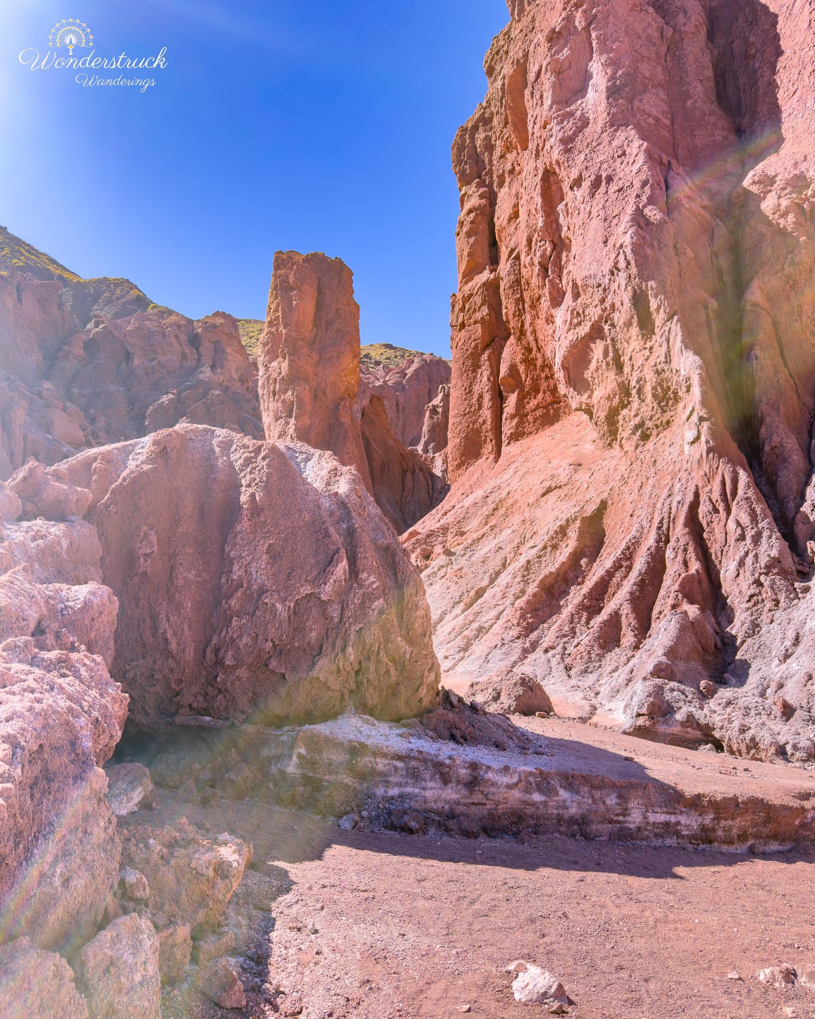
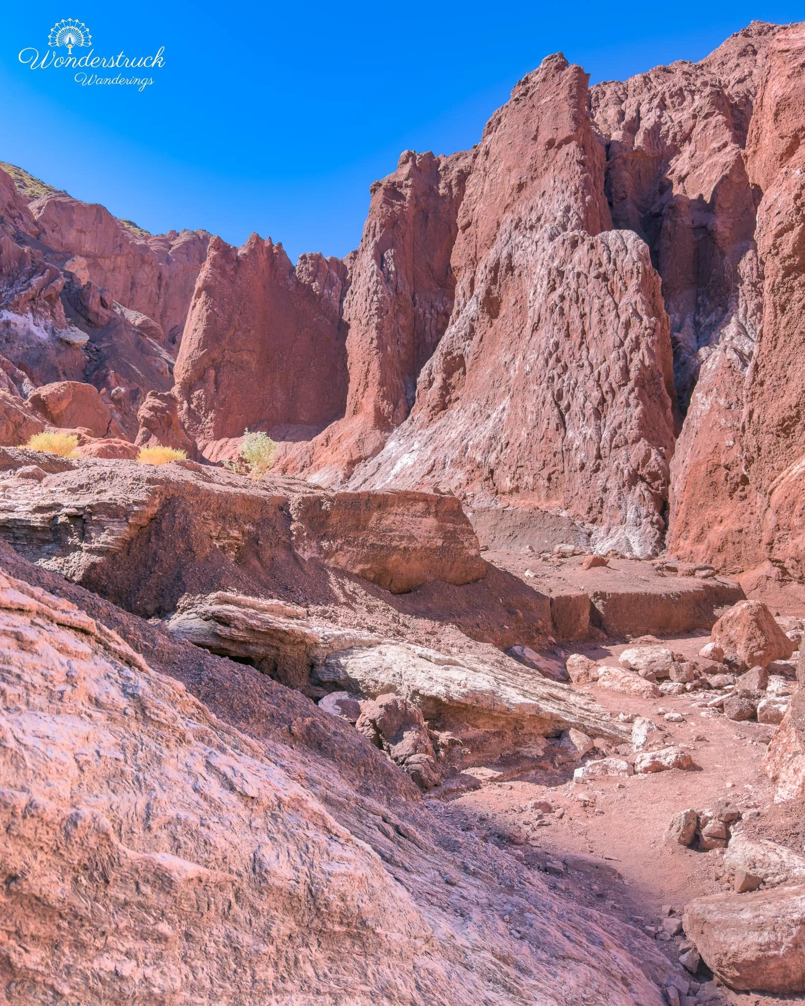
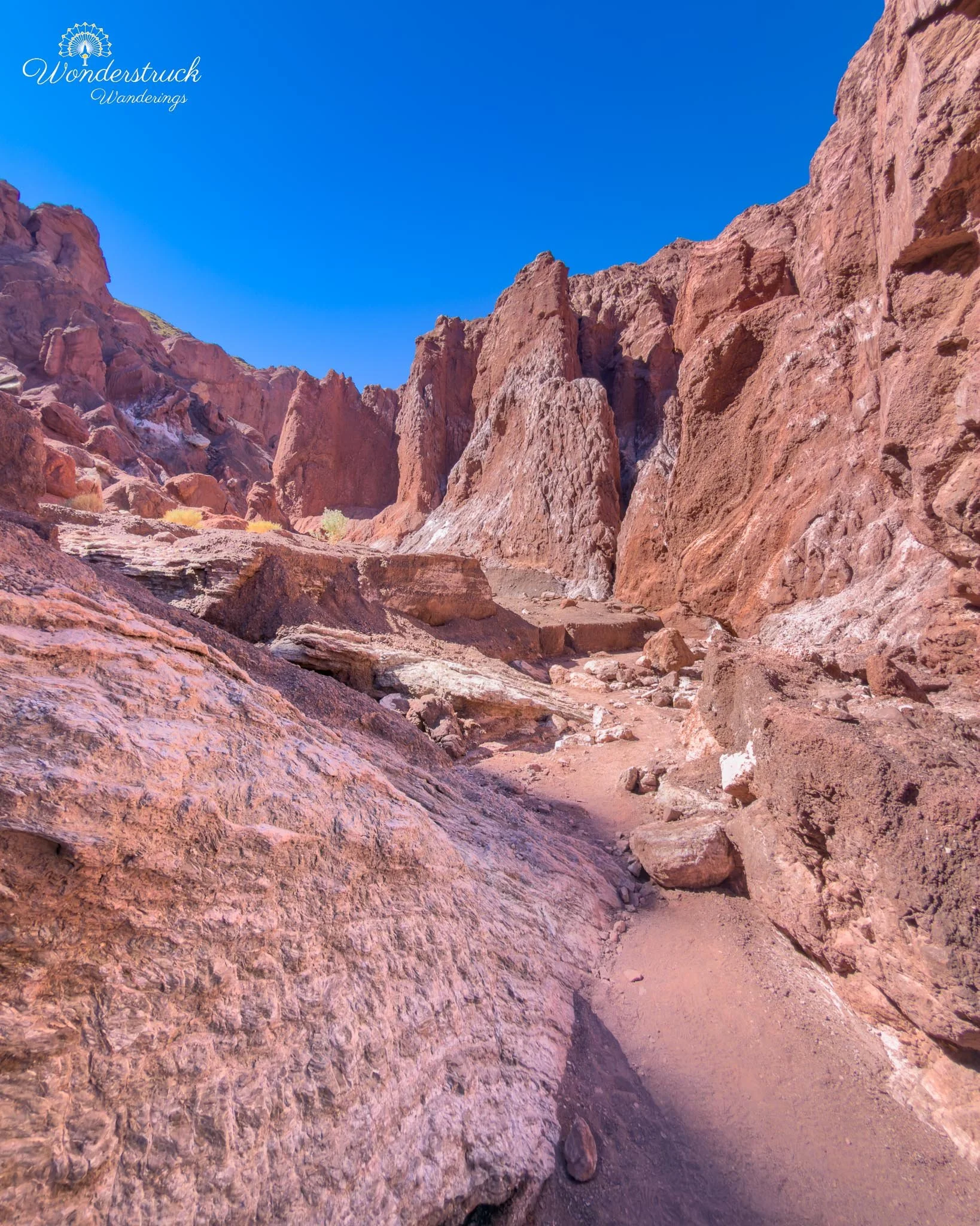
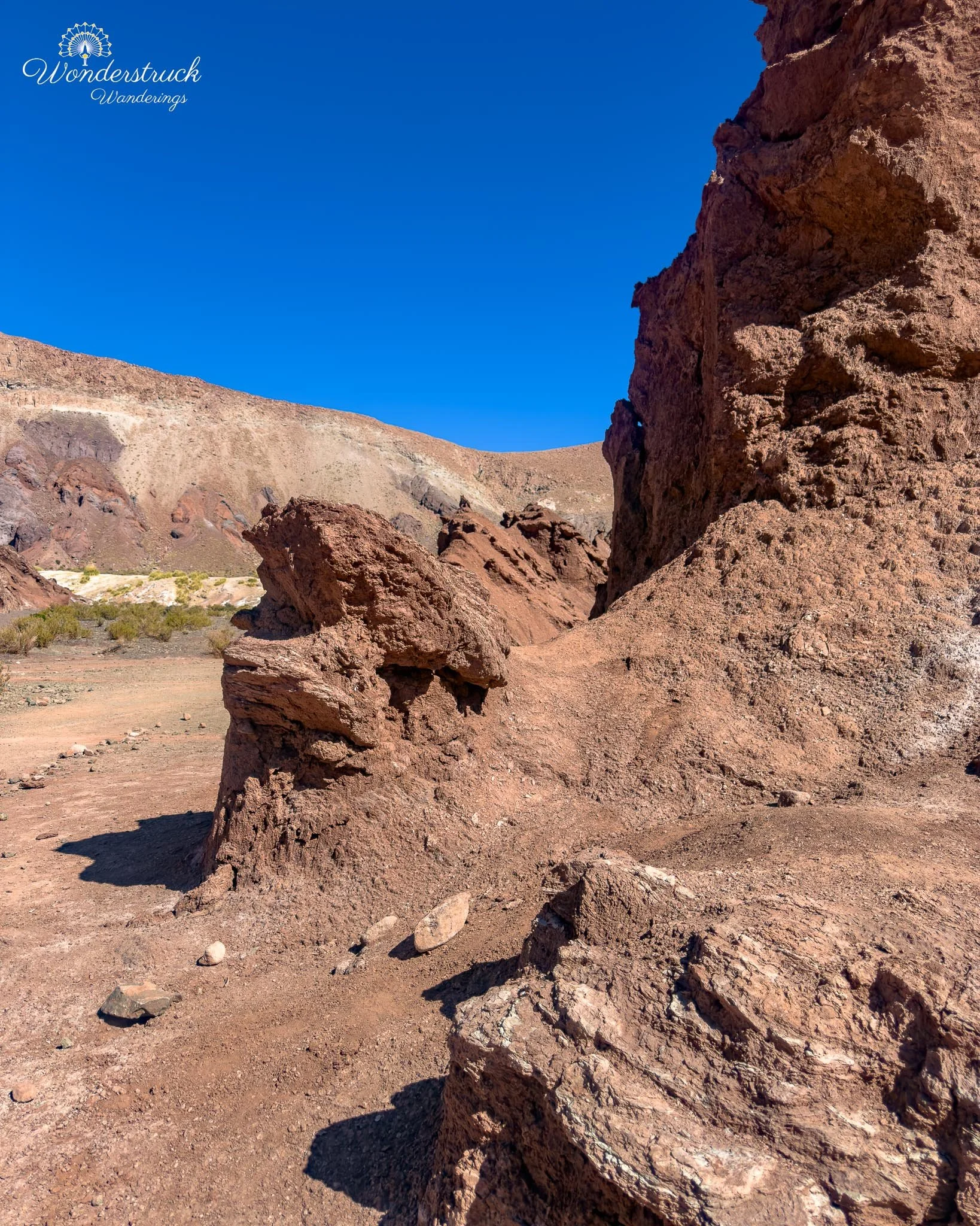
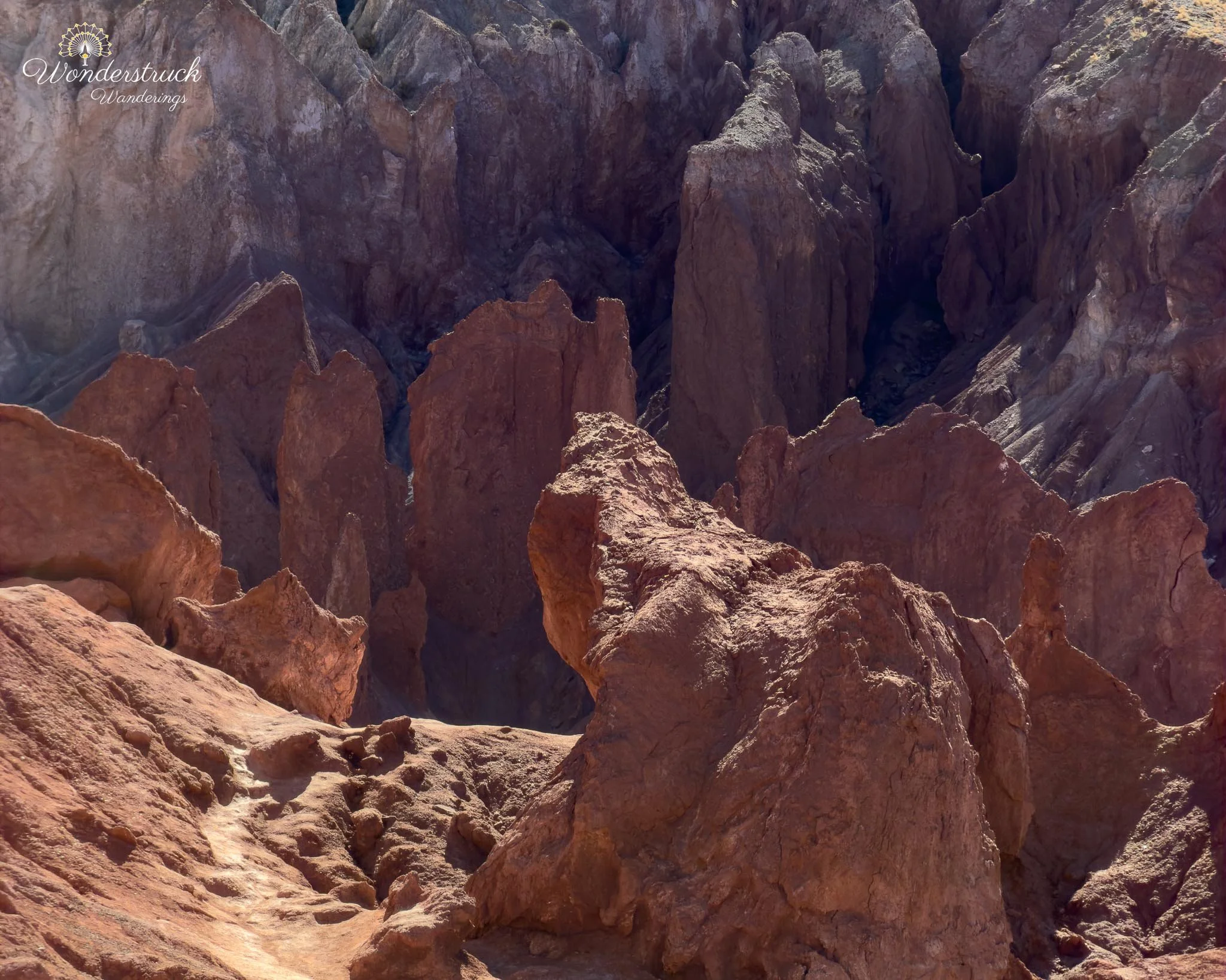
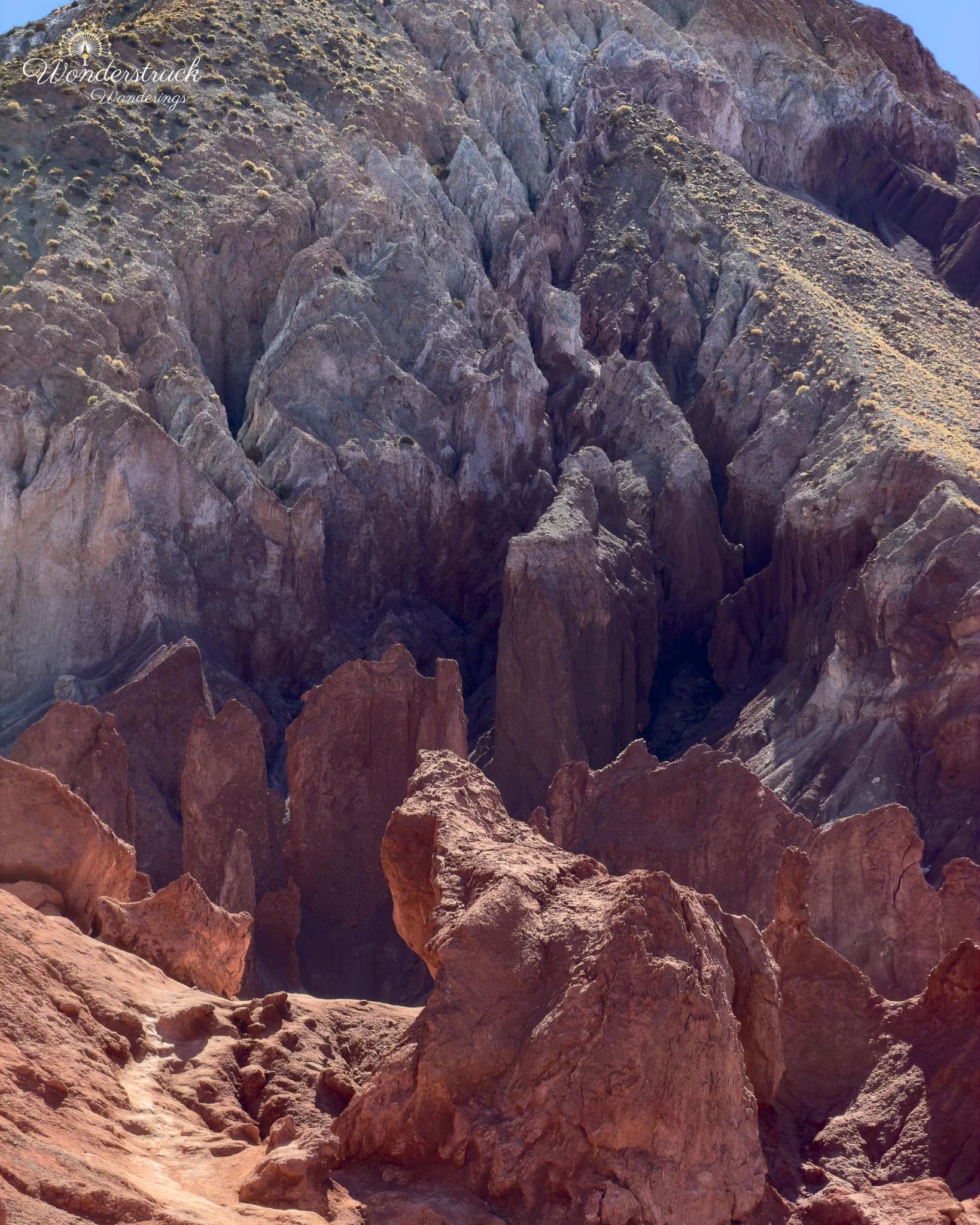
Sunlight bounced off the warm walls and filled the canyon with a soft glow, turning the dry stone into something almost luminous. It reminded us that in the desert, even absence can leave a shape. No water, but the memory of water carved into rock. We kept driving and reached another Y. Again, we took the right branch, parked, and walked into another section to enjoy the formations. The trail here continued until it reached a more rugged, rock-scrambling section, where we turned back. The towers along this part gave the valley a majestic feeling. They were not as famous as formations in Valle de la Luna, but they had their own personality - tall, weathered, colorful, and quiet. The rock colors here were especially satisfying because they were not isolated patches. The whole scene was built from variations: rust, cream, gray, greenish mineral stains, and darker shadowed folds. On the way back, we explored the left section of the Y. This route was bumpier and definitely needed higher clearance. We drove up to an excellent viewpoint, took in the broader valley view, and then turned back rather than pushing farther. With self-driving in the Atacama, there is always a point where curiosity has to be balanced with road judgment. We had already seen plenty, and there was no reason to overdo it.
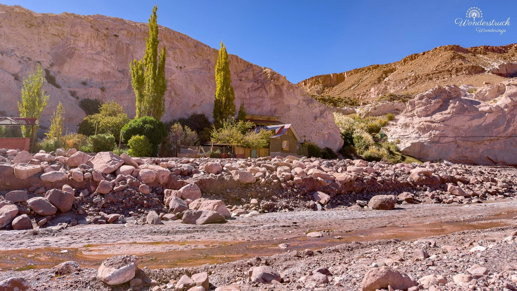
We took the B-207 route back, following the road along the dry riverbed. This return drive was different from the way in, with sandy washes, low rock walls, scattered vegetation, and a few shallow water crossings. Because we were driving slowly, we also had more time to scan for birds. This was where the Bright-rumped Yellow-Finches became especially noticeable. A large group moved through the riverbed habitat, feeding and shifting through the scrub and open ground. After the colored hills of Valle del Arcoíris, this section showed how much life can be tucked into the drier parts of the Atacama. On this side of the road is Petroglifos Yerbas Buenas, another stop on the Rainbow Valley route. The entrance fee was also 5,000 CLP per person. After the mineral colors and eroded rock of Valle del Arcoíris, Yerbas Buenas added the human history of the area. The petroglyphs show that people moved through this desert long before modern roads and tour routes. Animals, symbols, and figures are carved into the stone, marking the landscape as a place of travel, communication, and memory. It is a useful stop because it makes the route feel less like a scenic drive and more like an old passage through the desert.
Lunch at Jardin Meraki and the Pukara de Quitor That Got Away
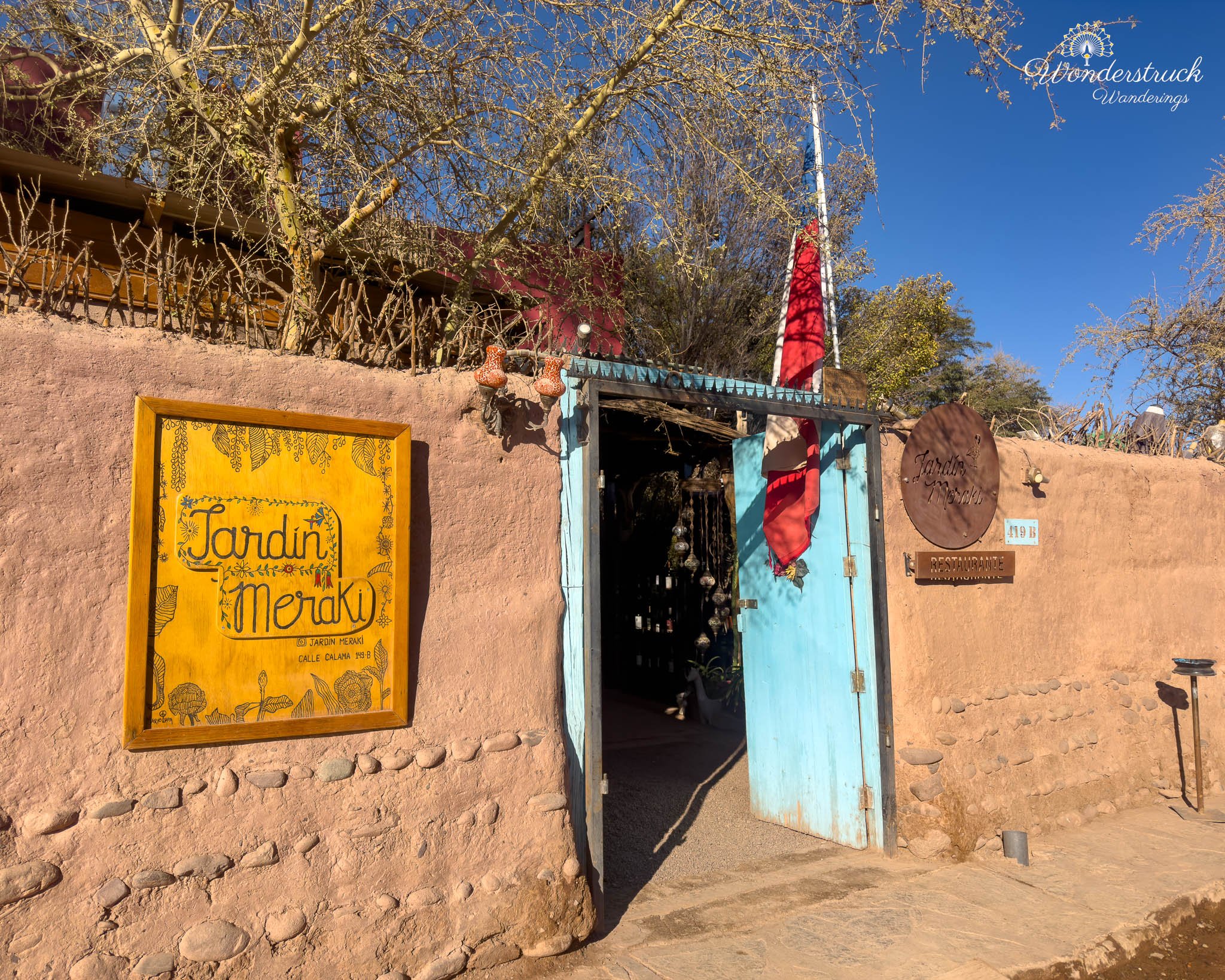
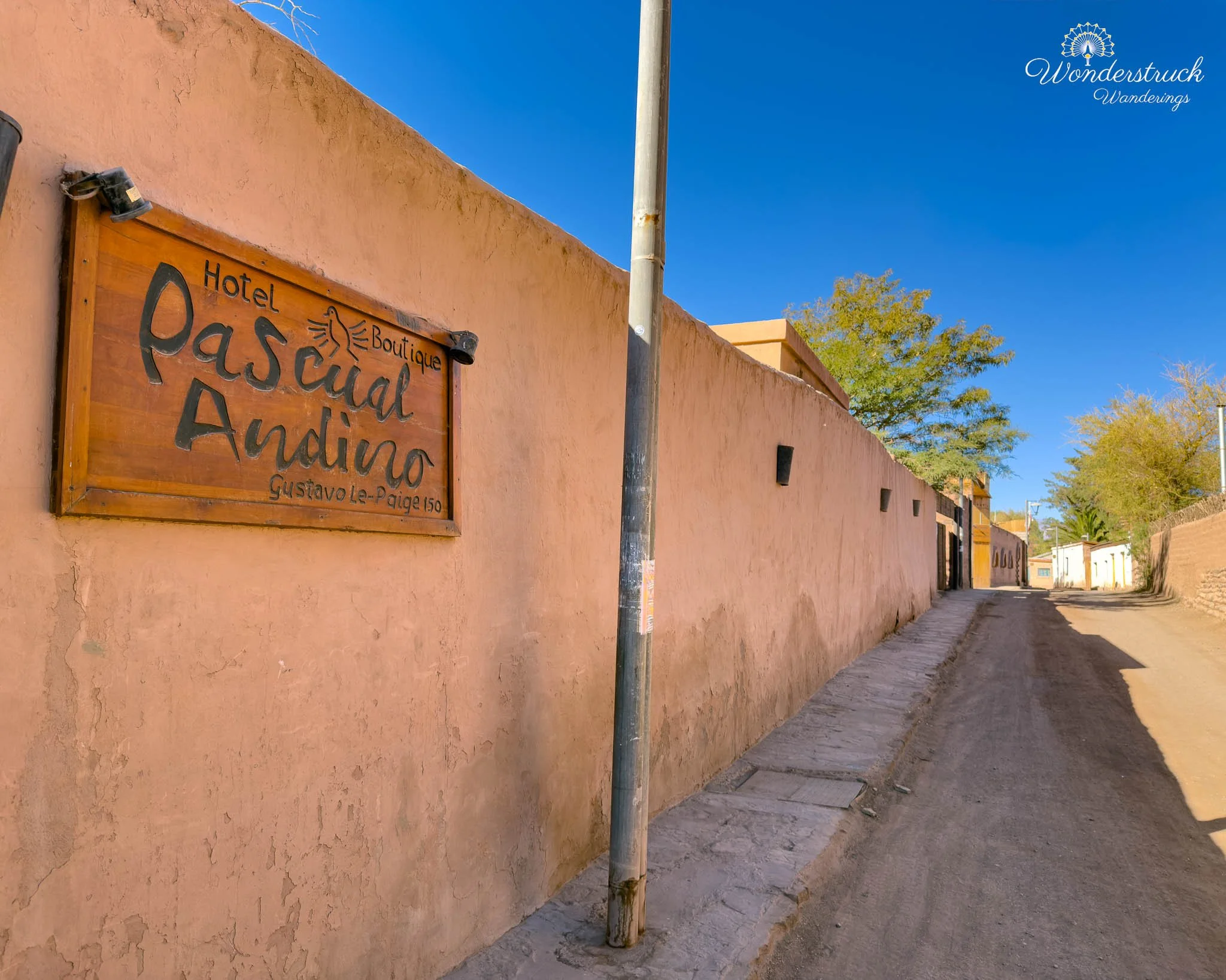
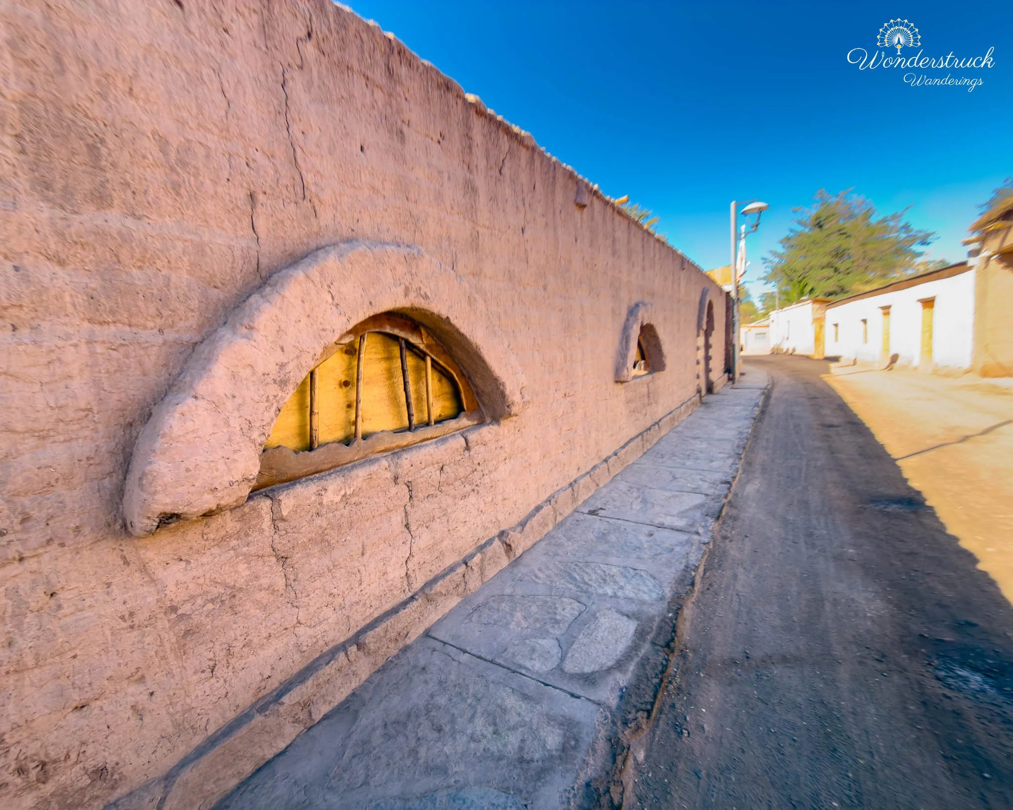
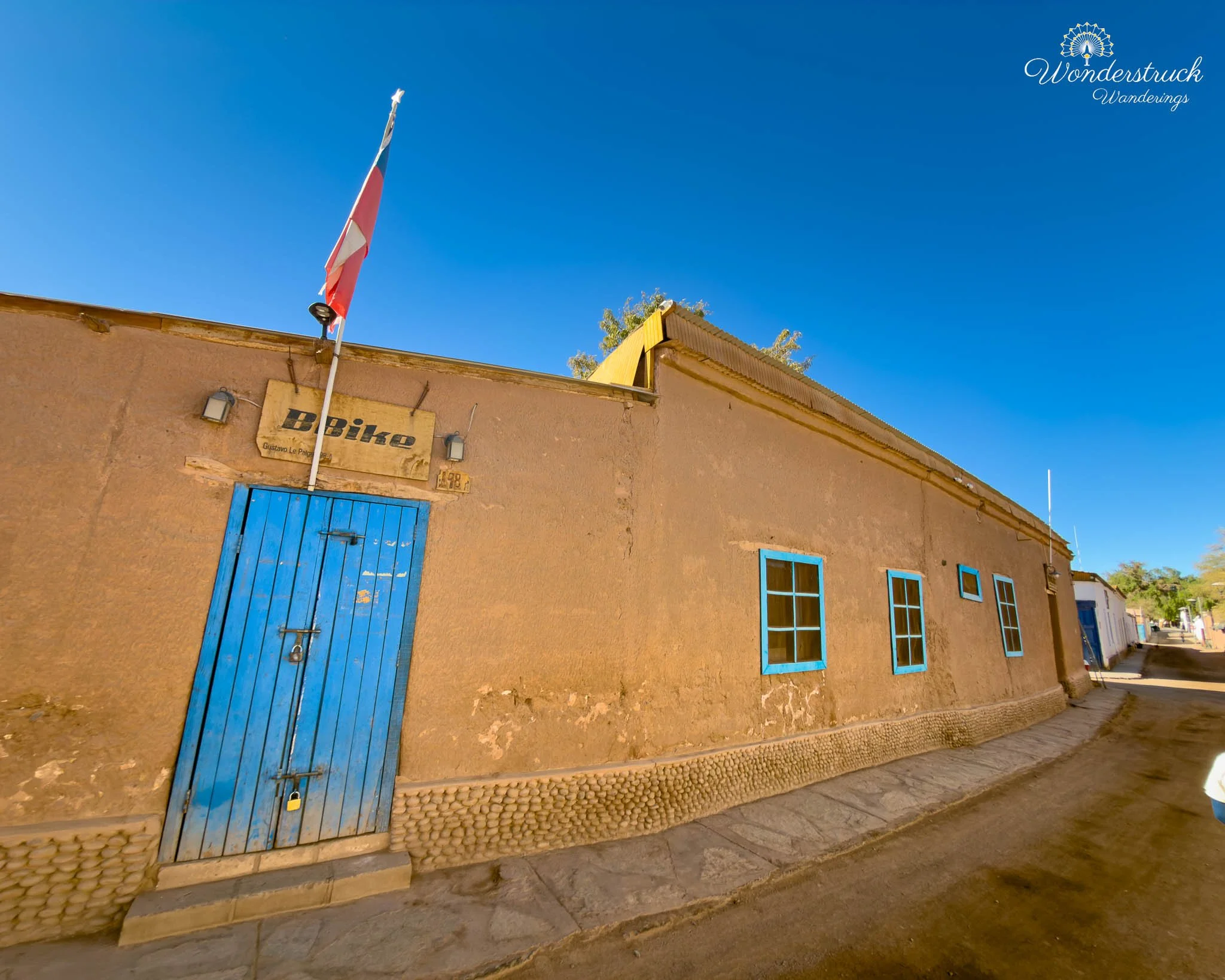
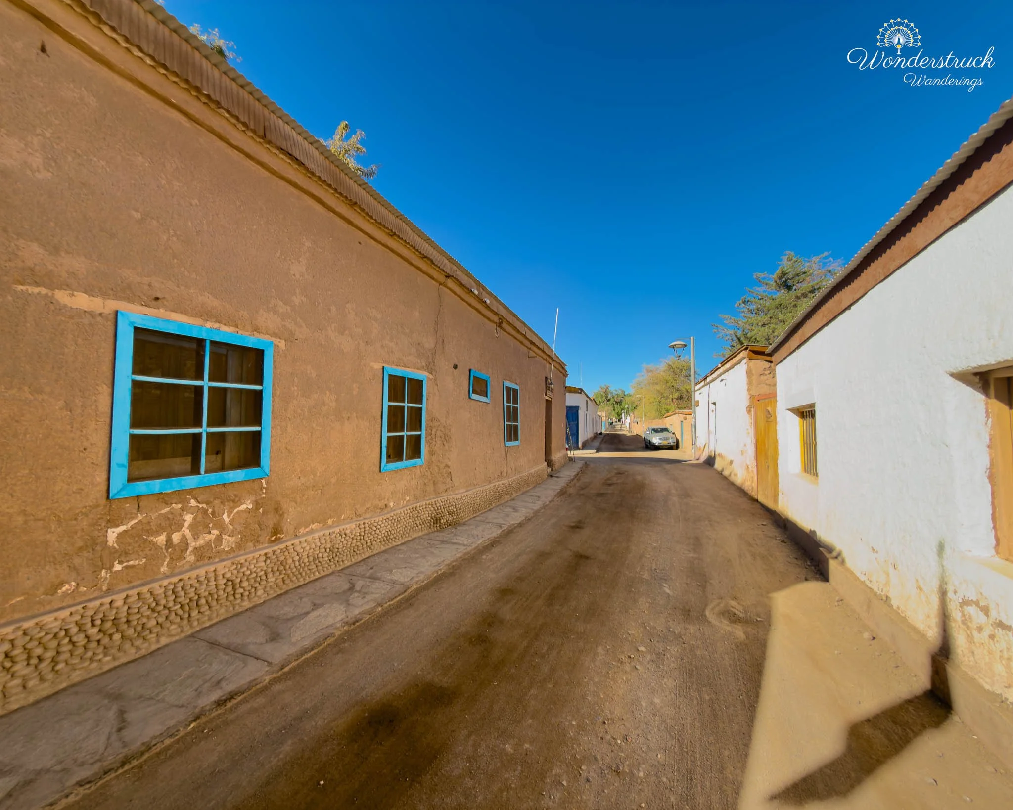
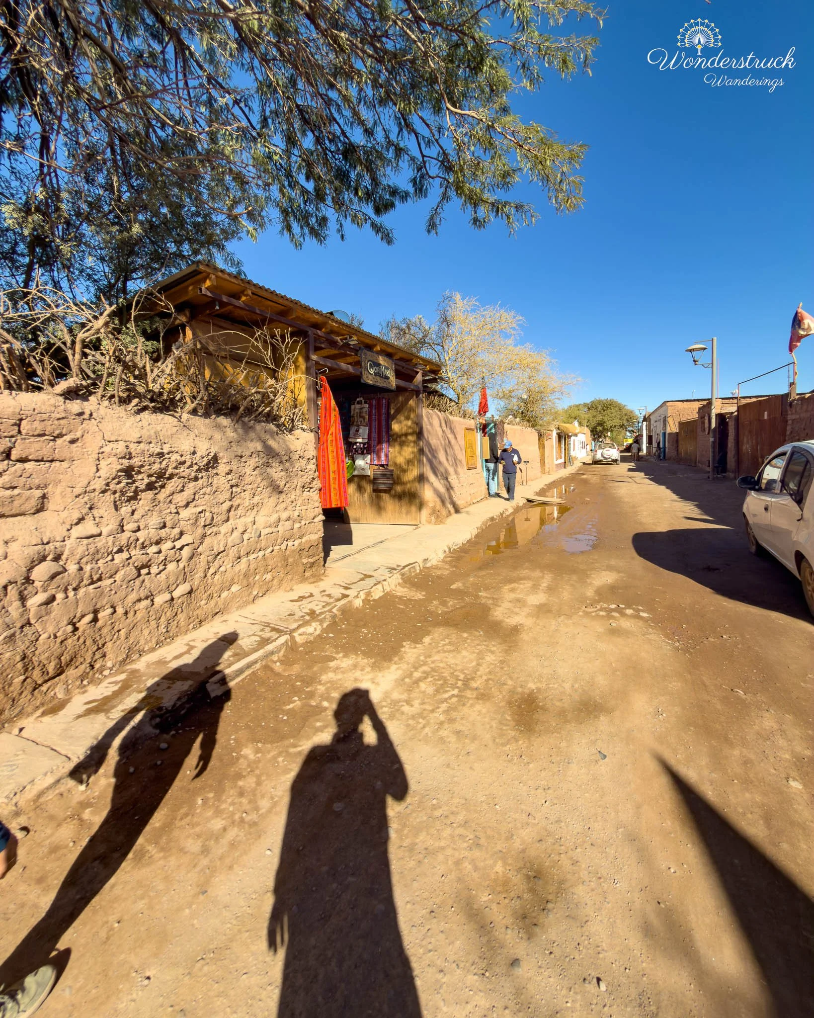
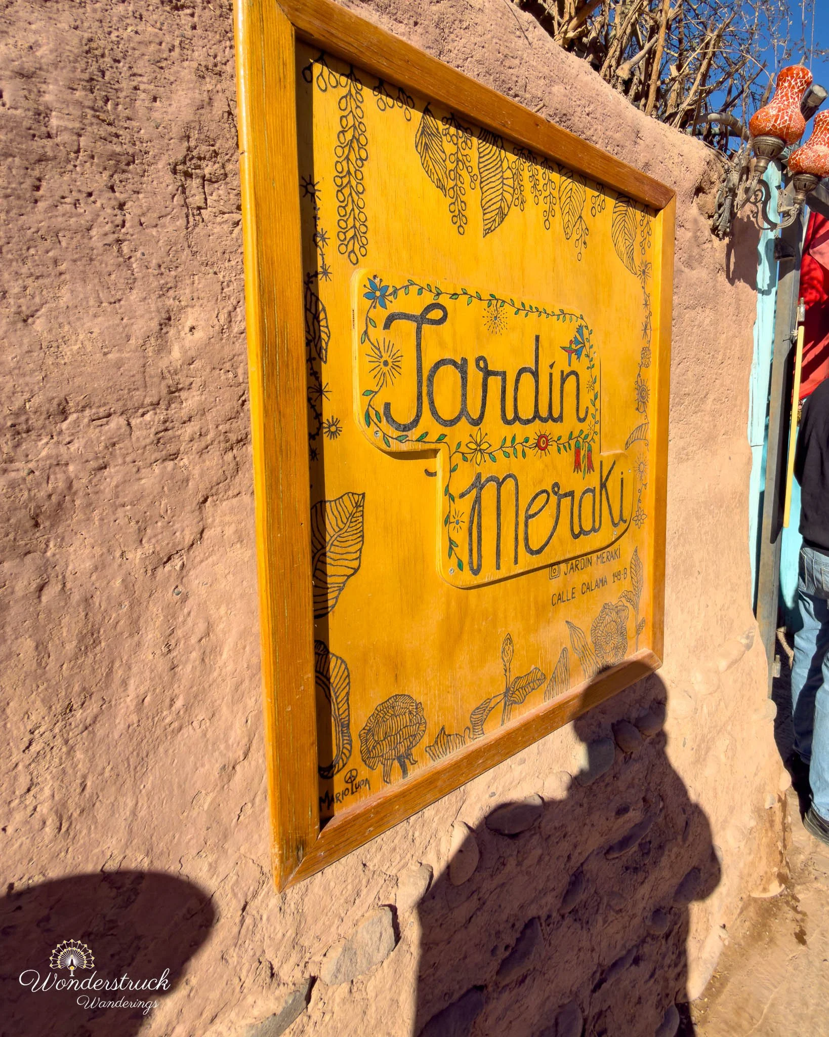
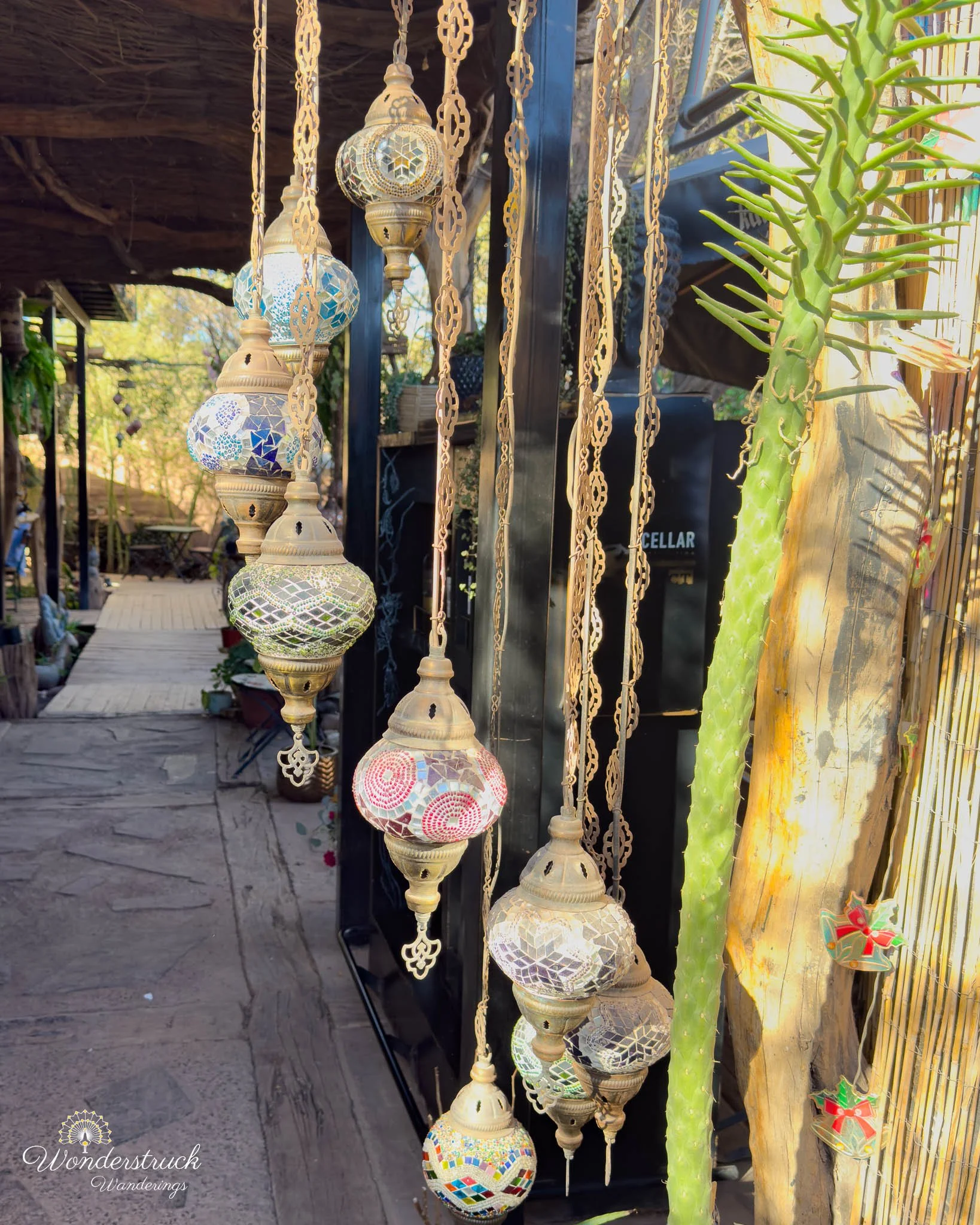
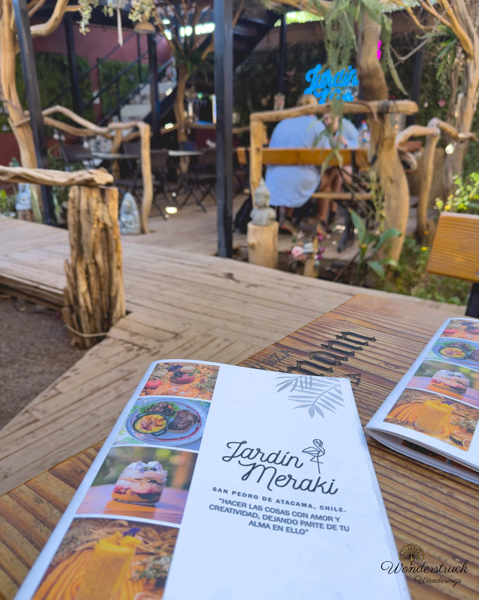
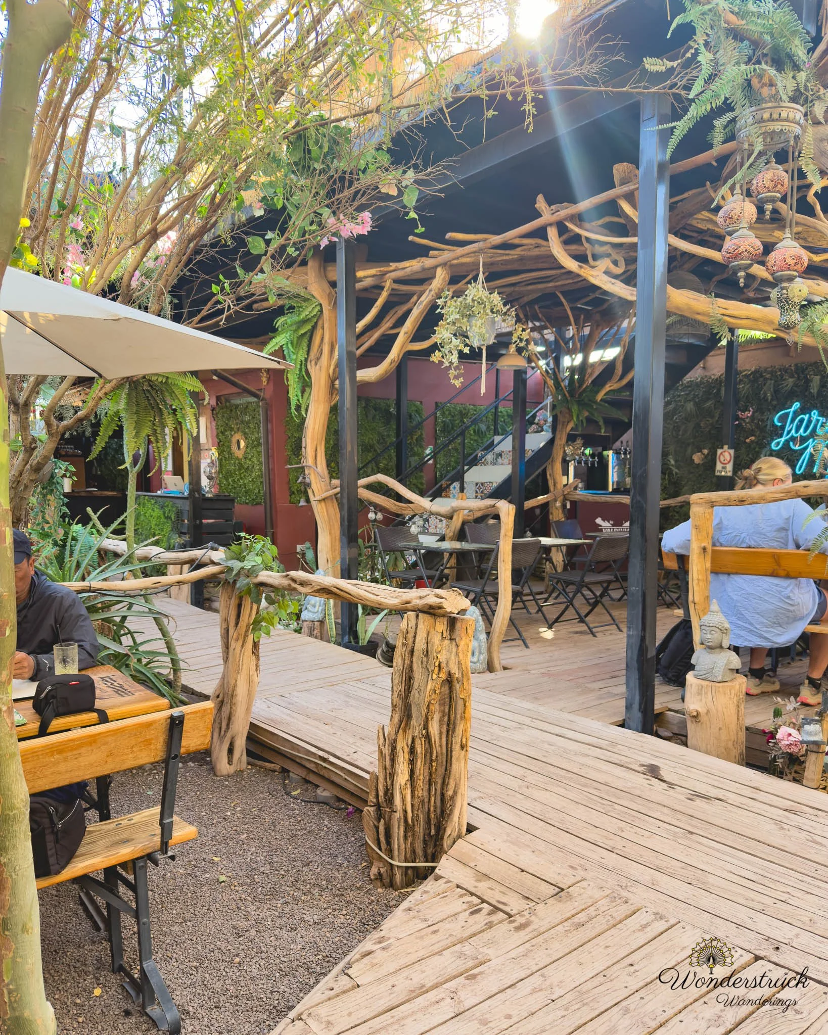
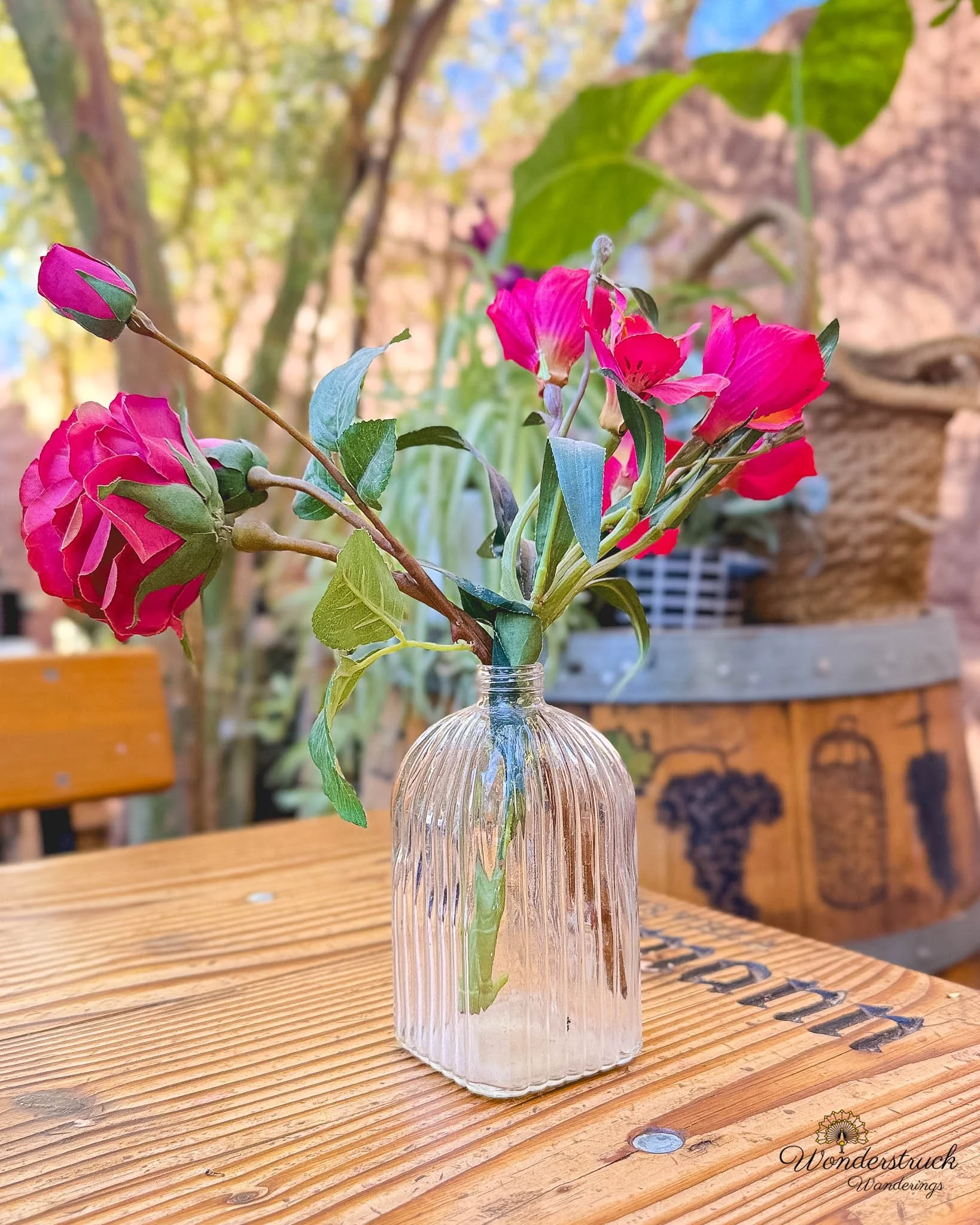
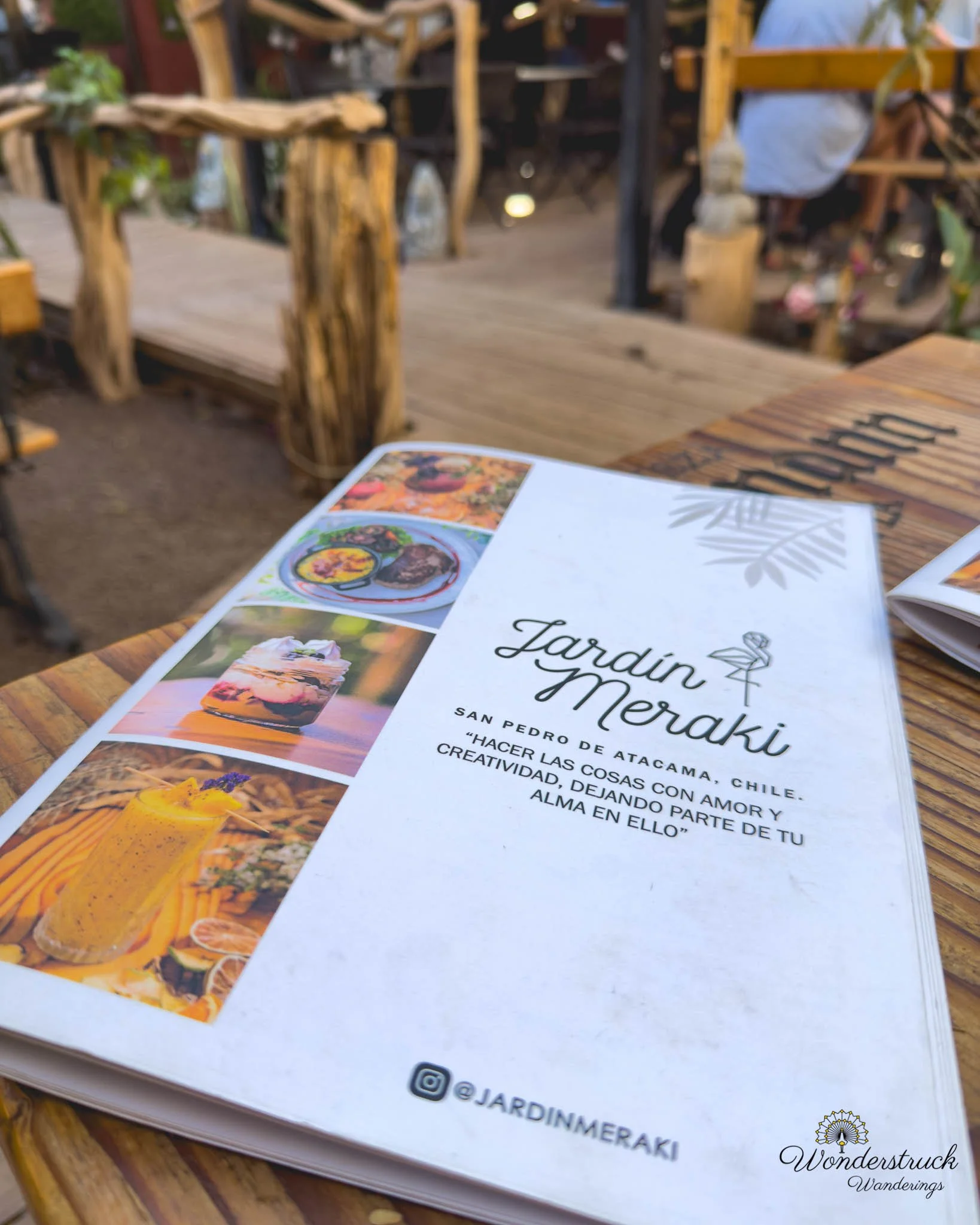
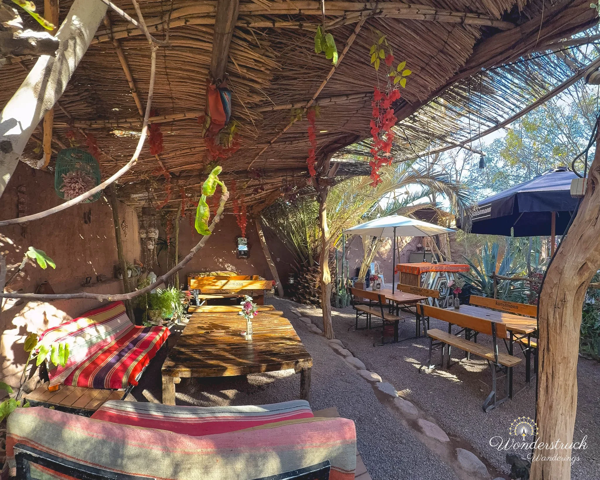
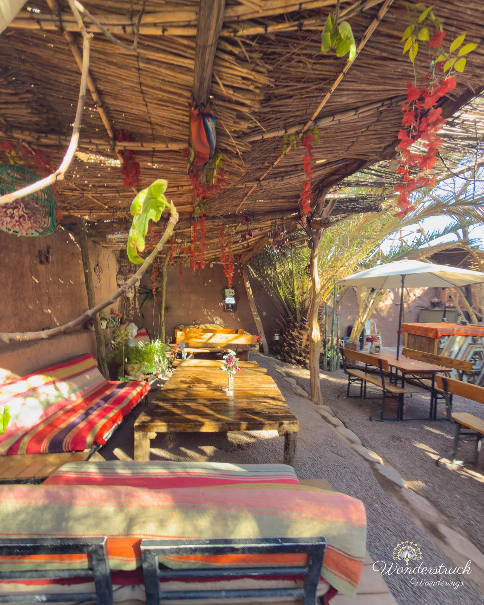
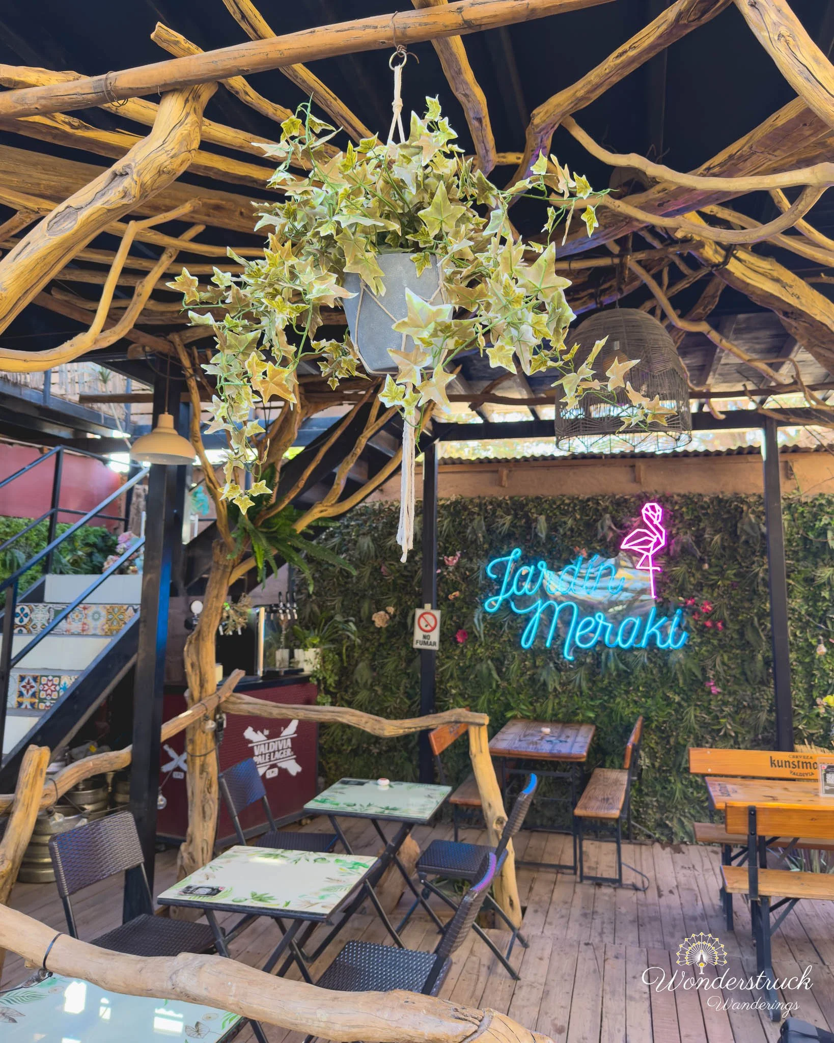
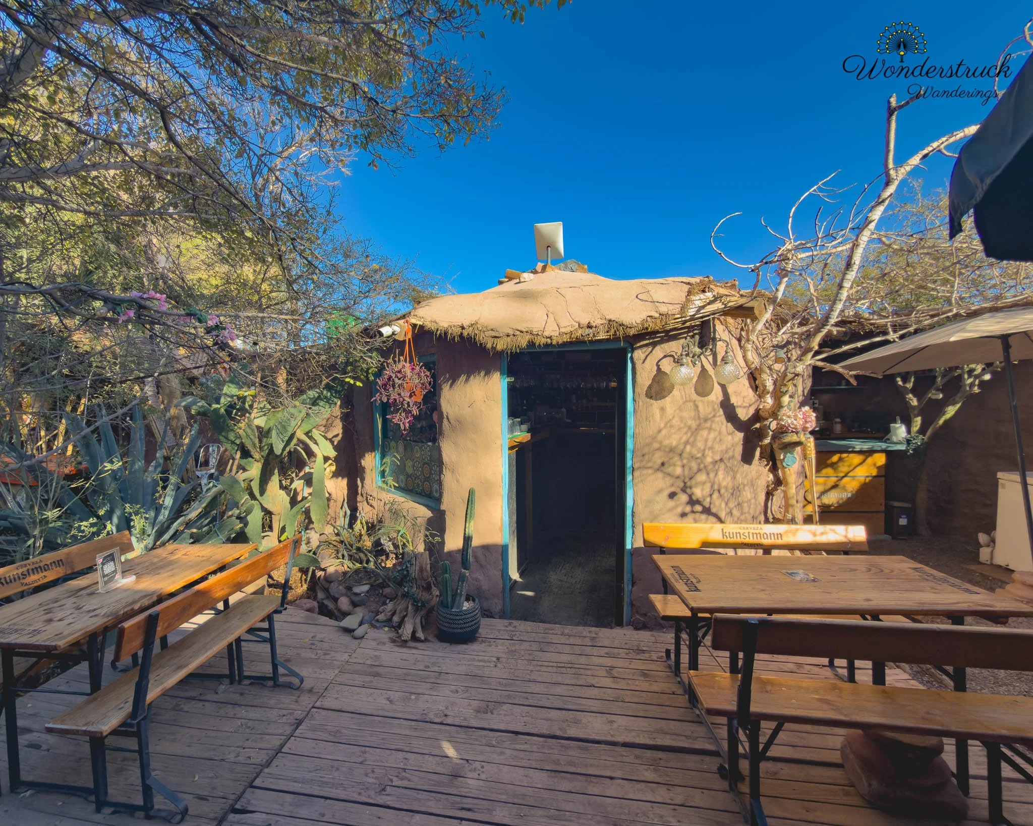
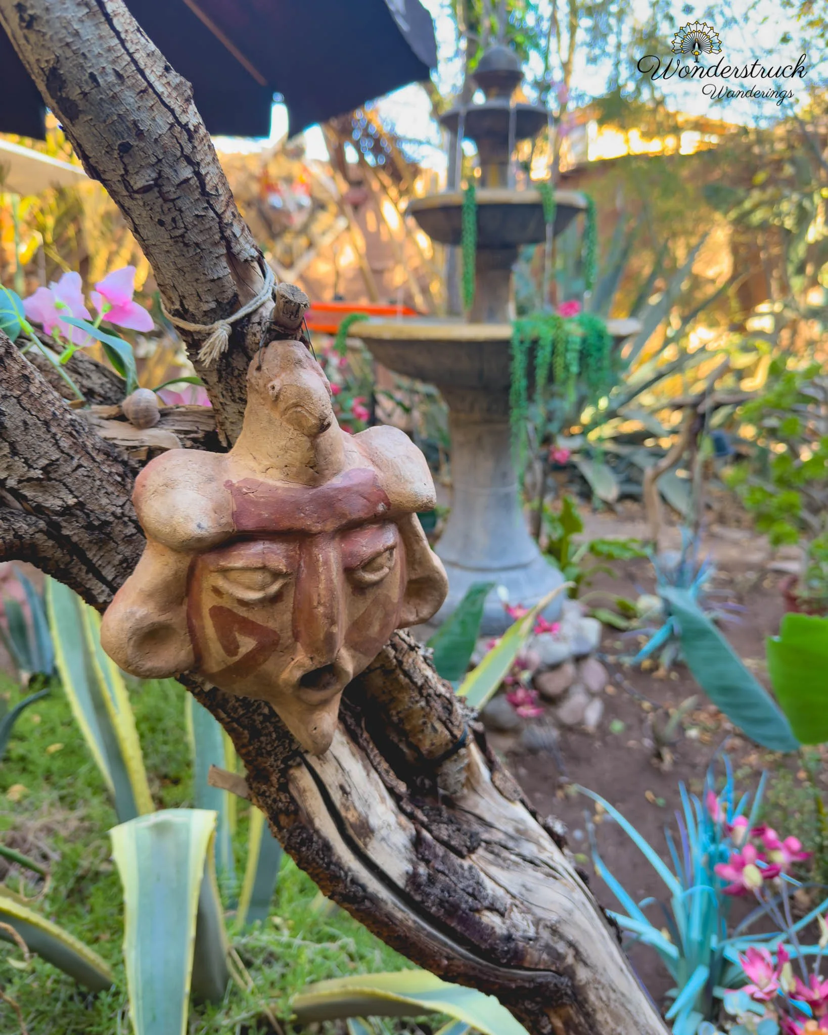
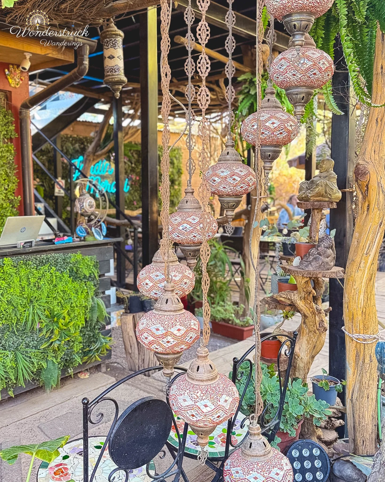
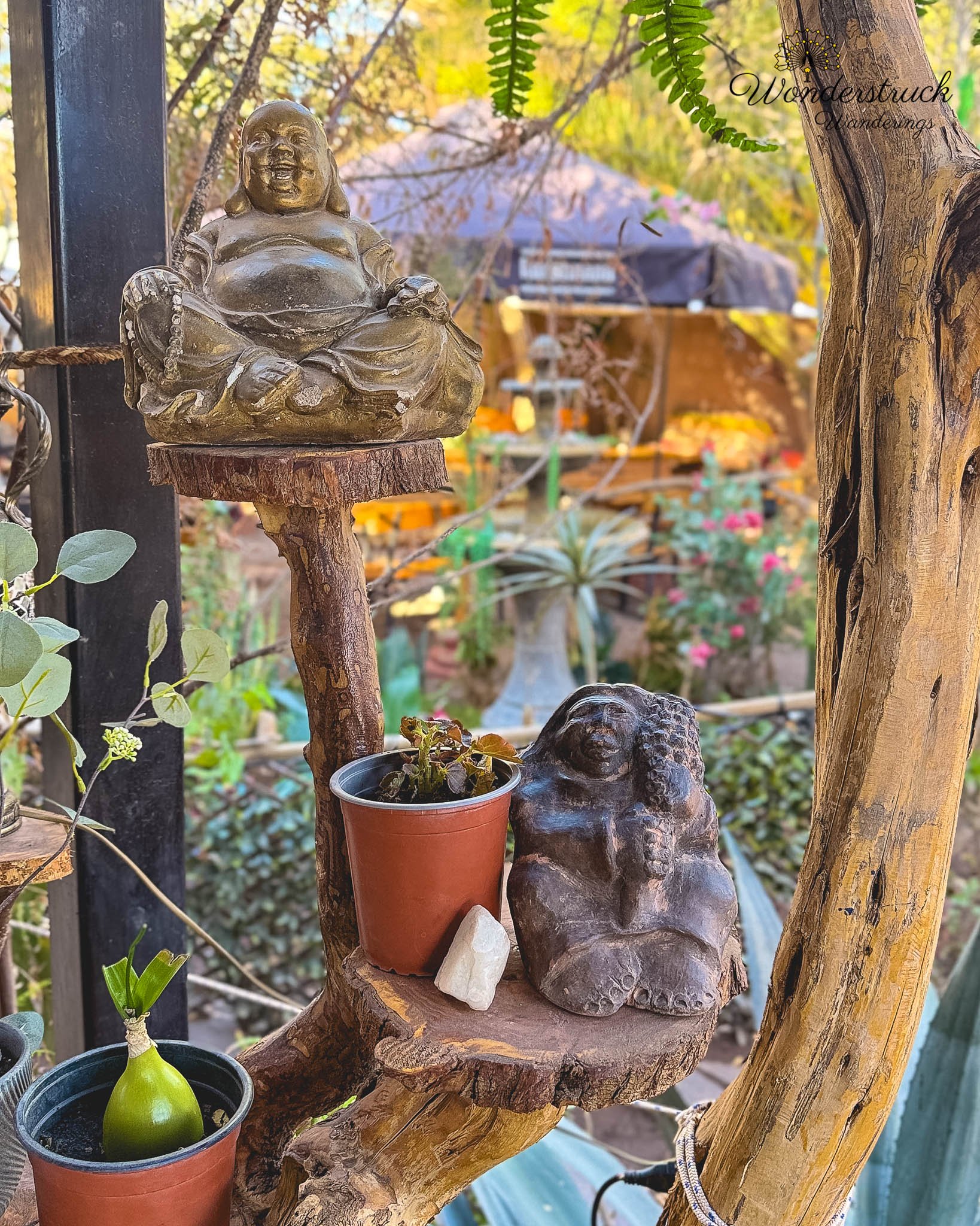
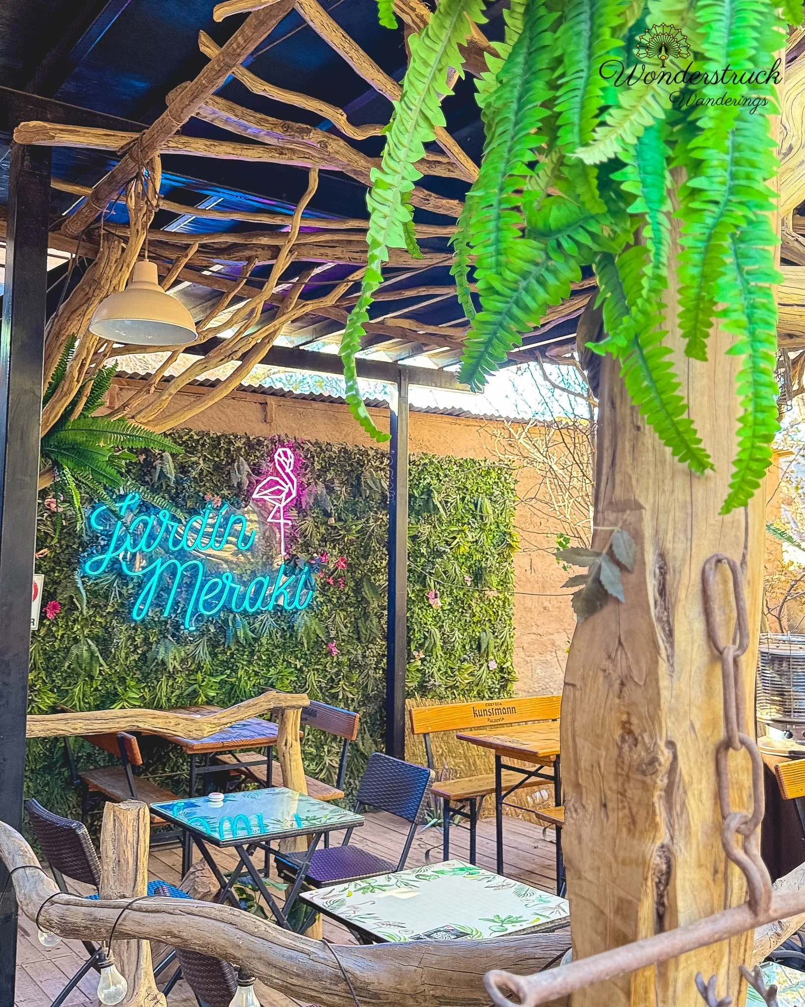
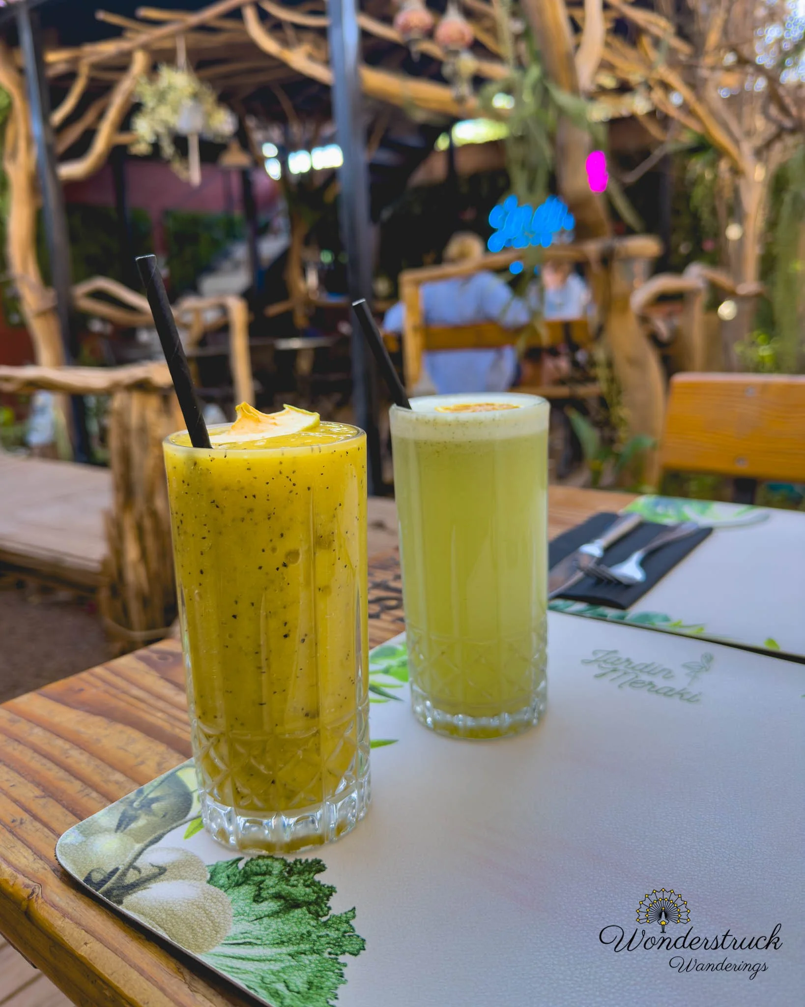
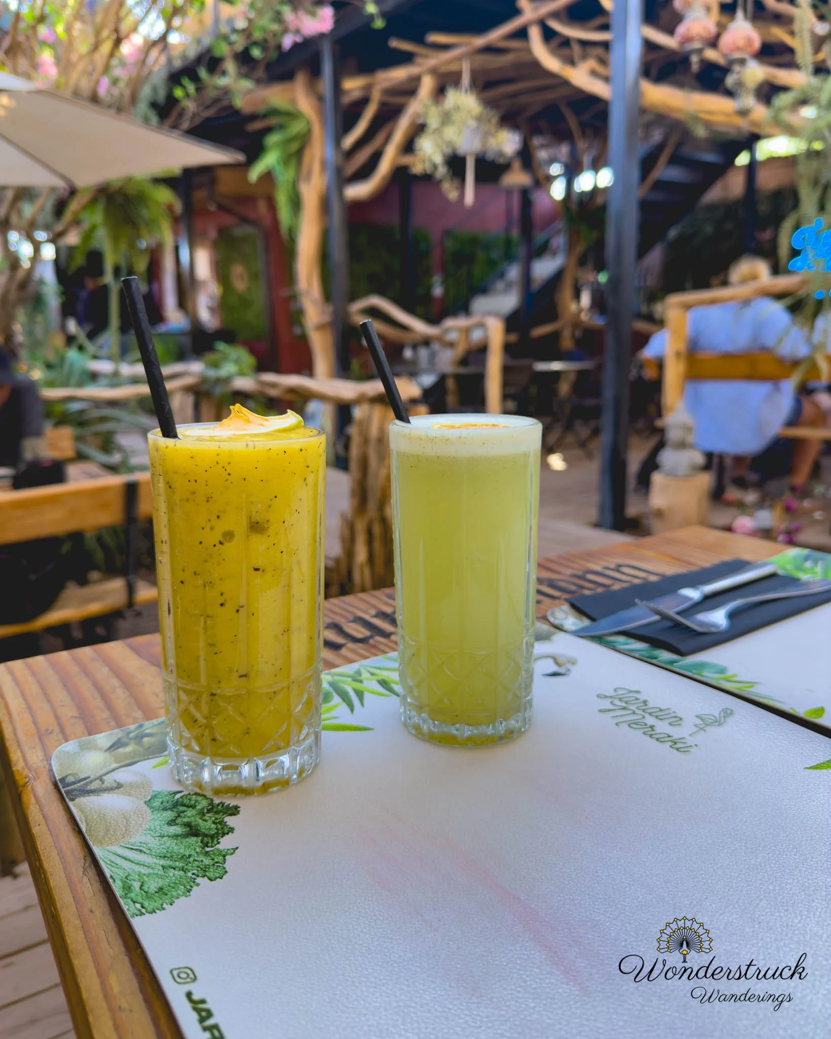
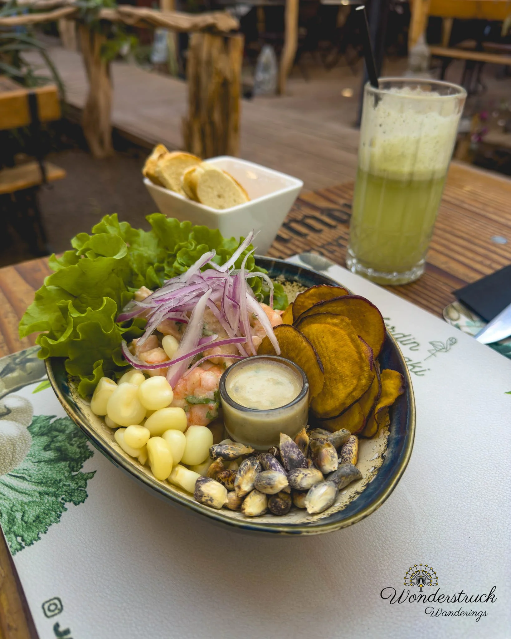
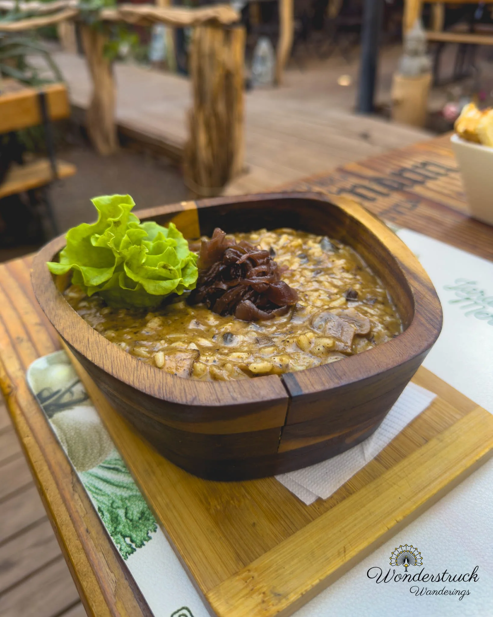
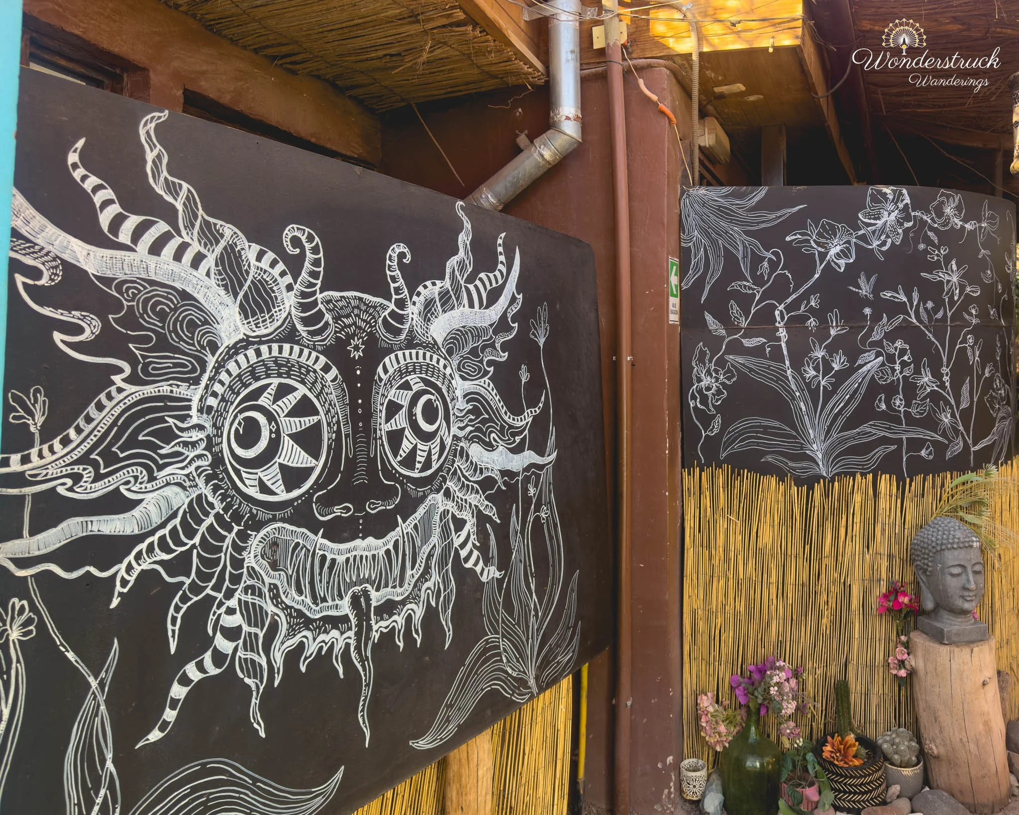
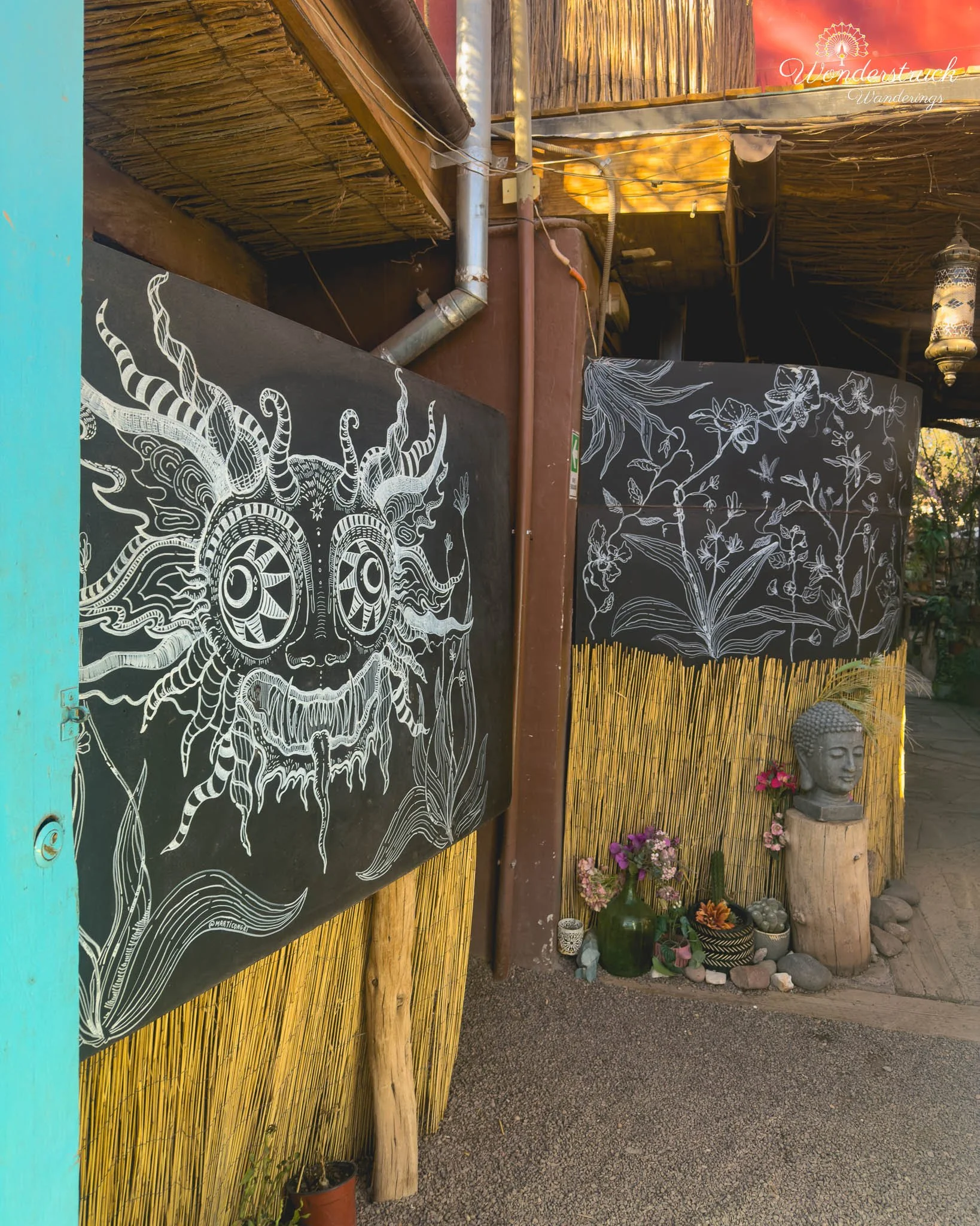
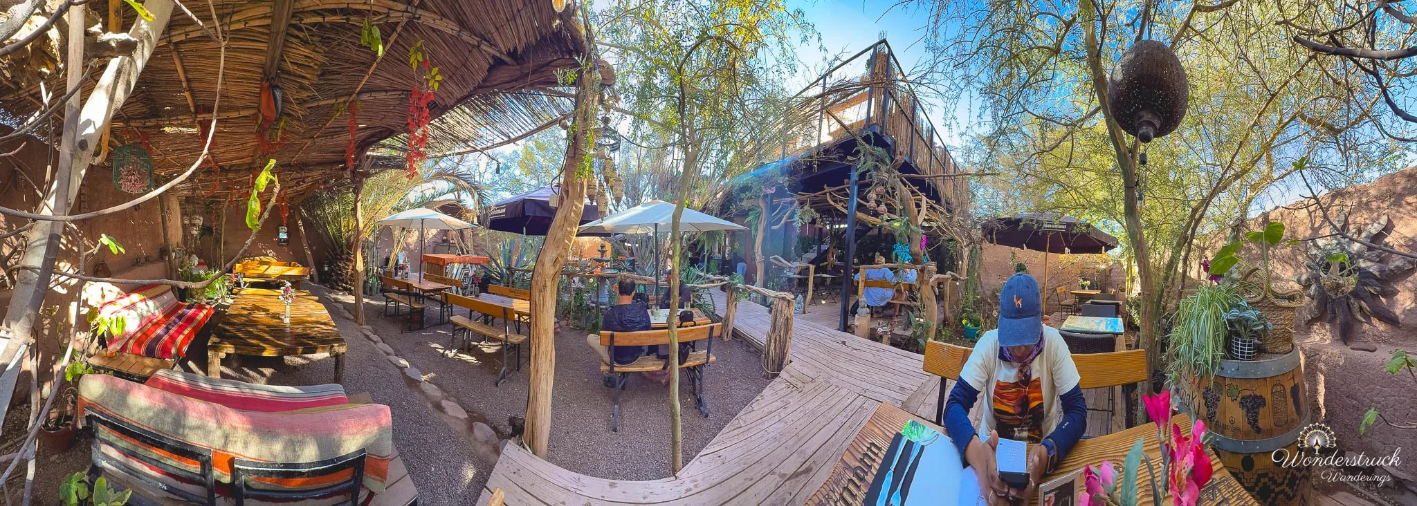
We drove back to San Pedro, freshened up, and went into town for lunch. Our pick for the day was Jardin Meraki, a nicely decorated garden restaurant with a raised rooftop area that looked perfect for sundowners. The restaurant had a very relaxed, millennial-soft-music atmosphere - plants, garden seating, warm design touches, and that curated but casual look that works well in San Pedro. Shay ordered a mushroom risotto and loved it. I ordered a fish and shrimp pil-pil ceviche, along with rica-rica lemonade. After the dusty morning in Rainbow Valley, the shaded garden setting and cold drink felt exactly right. After lunch, we drove toward Pukara de Quitor, thinking it would be a short hike or quick stop. But lunch had taken longer than expected, and we were already running behind for our evening plan, so we had to skip it. It is very close to town and to our hotel, and it remains worth visiting on another trip. It also looks like a strong sunset location, especially with Licancabur glowing orange in the background and the ruins or arches available as foreground frames. But we had one clear goal for the evening: Laguna Chaxa at sunset.
Laguna Chaxa at Sunset: Flamingo Silhouettes and Timing Frustrations
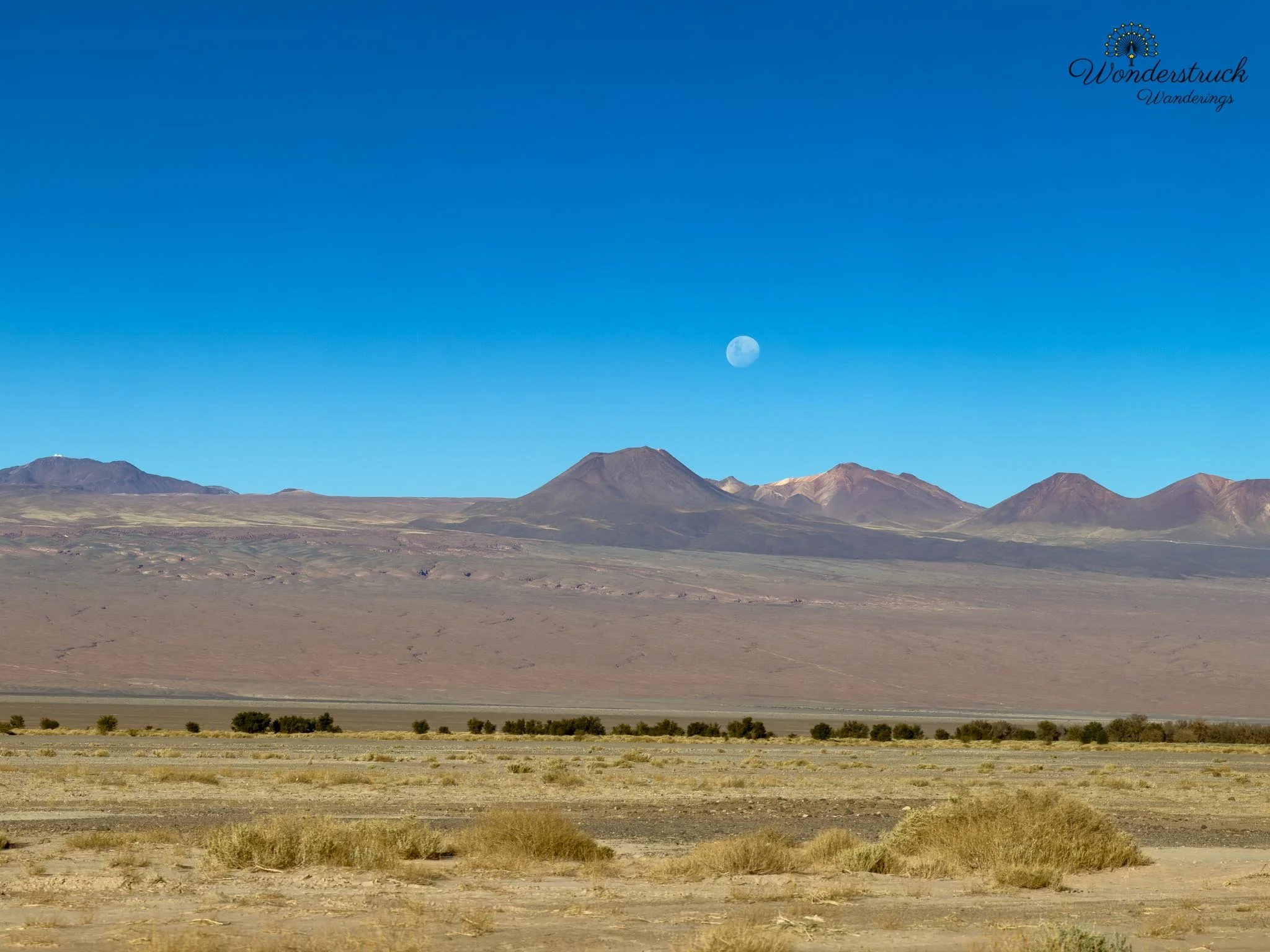
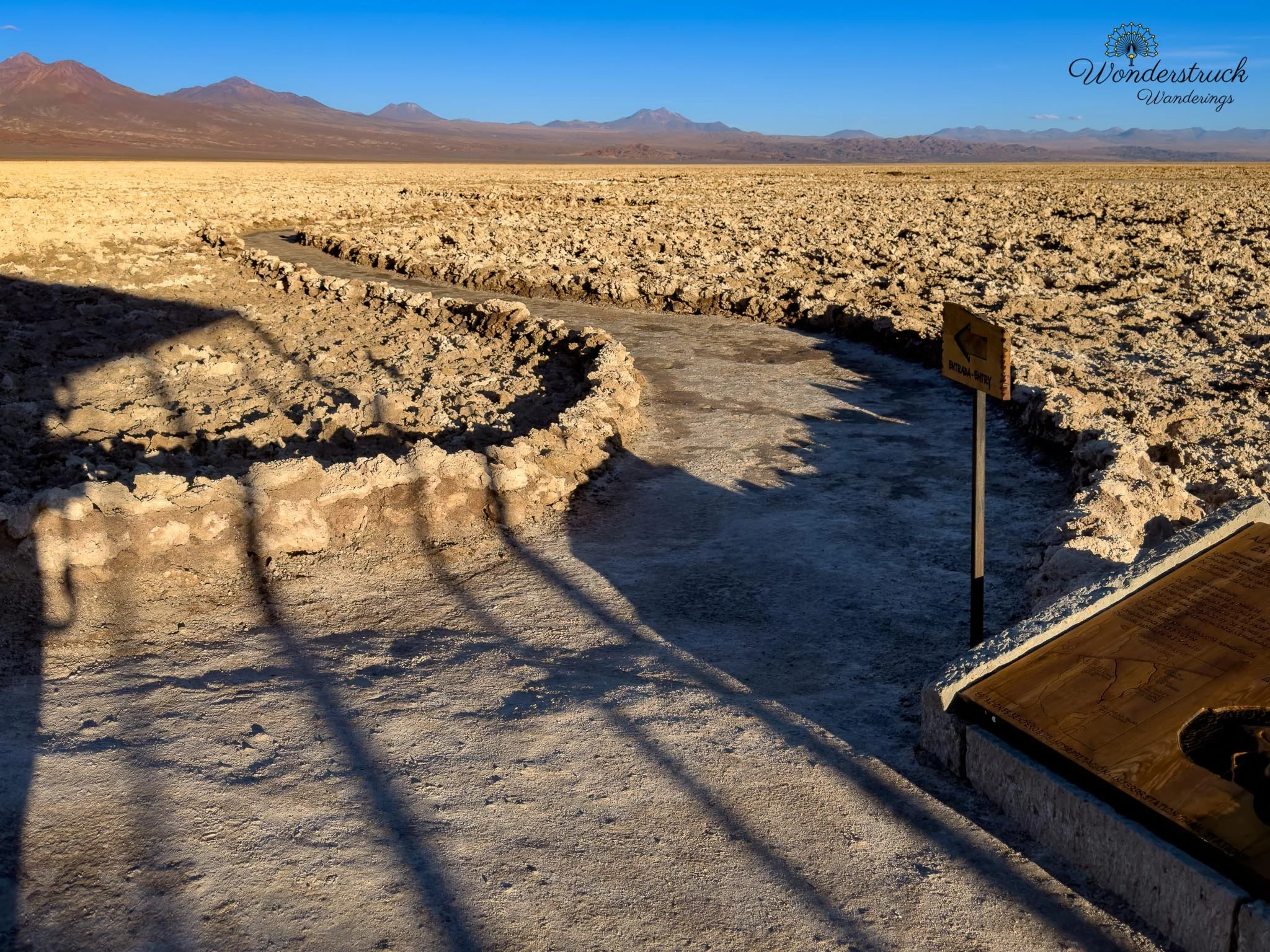
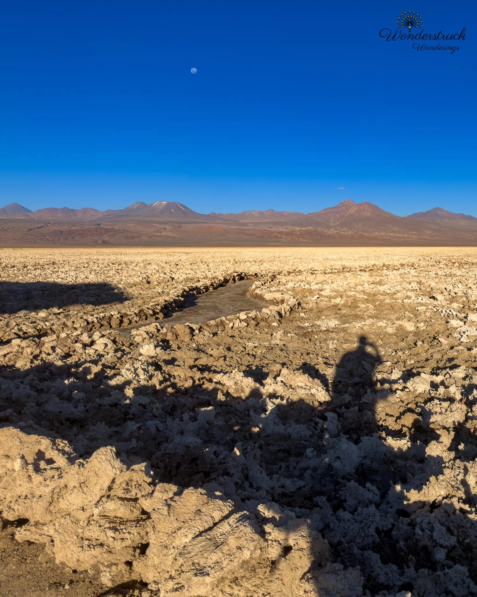
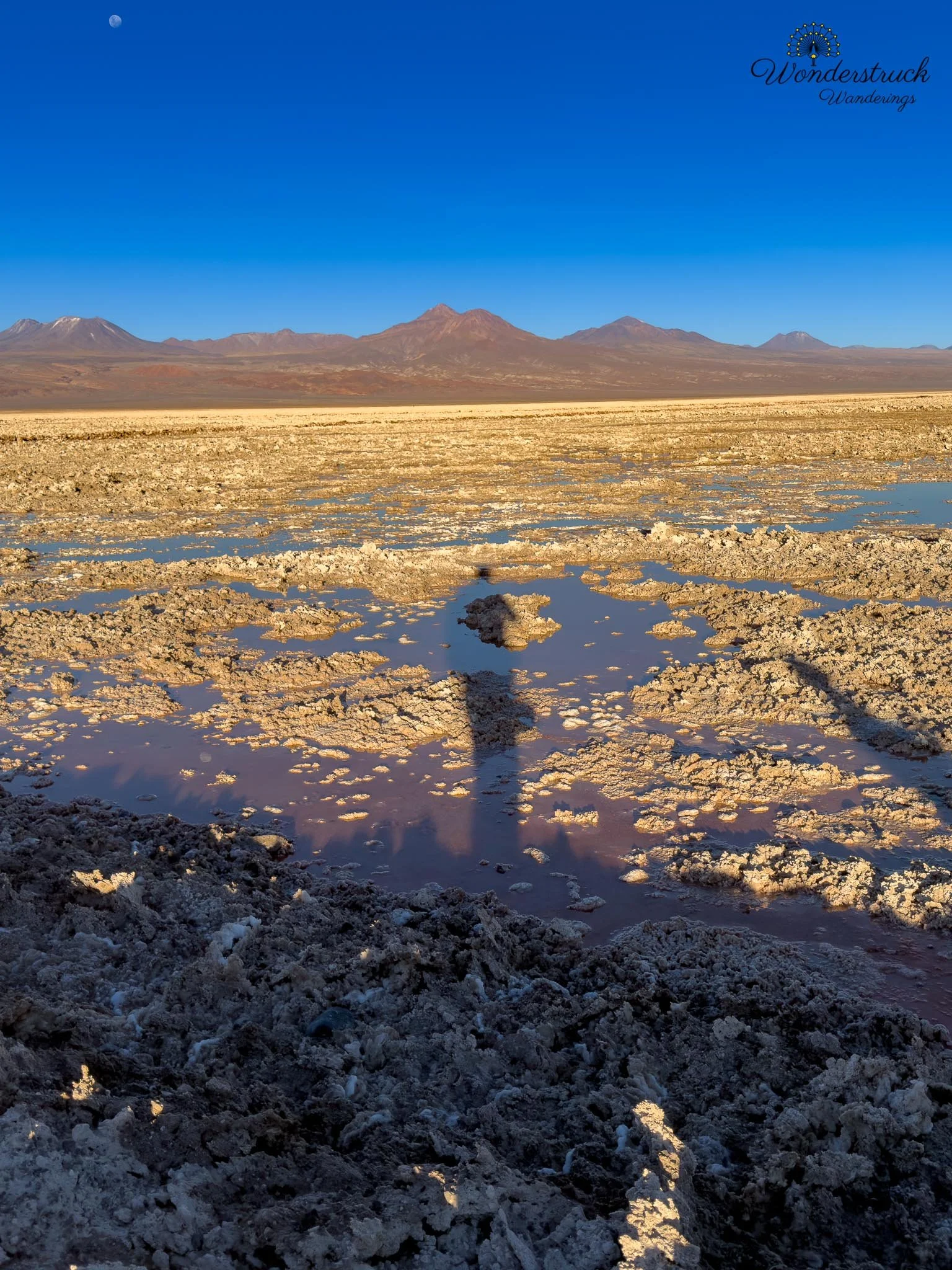
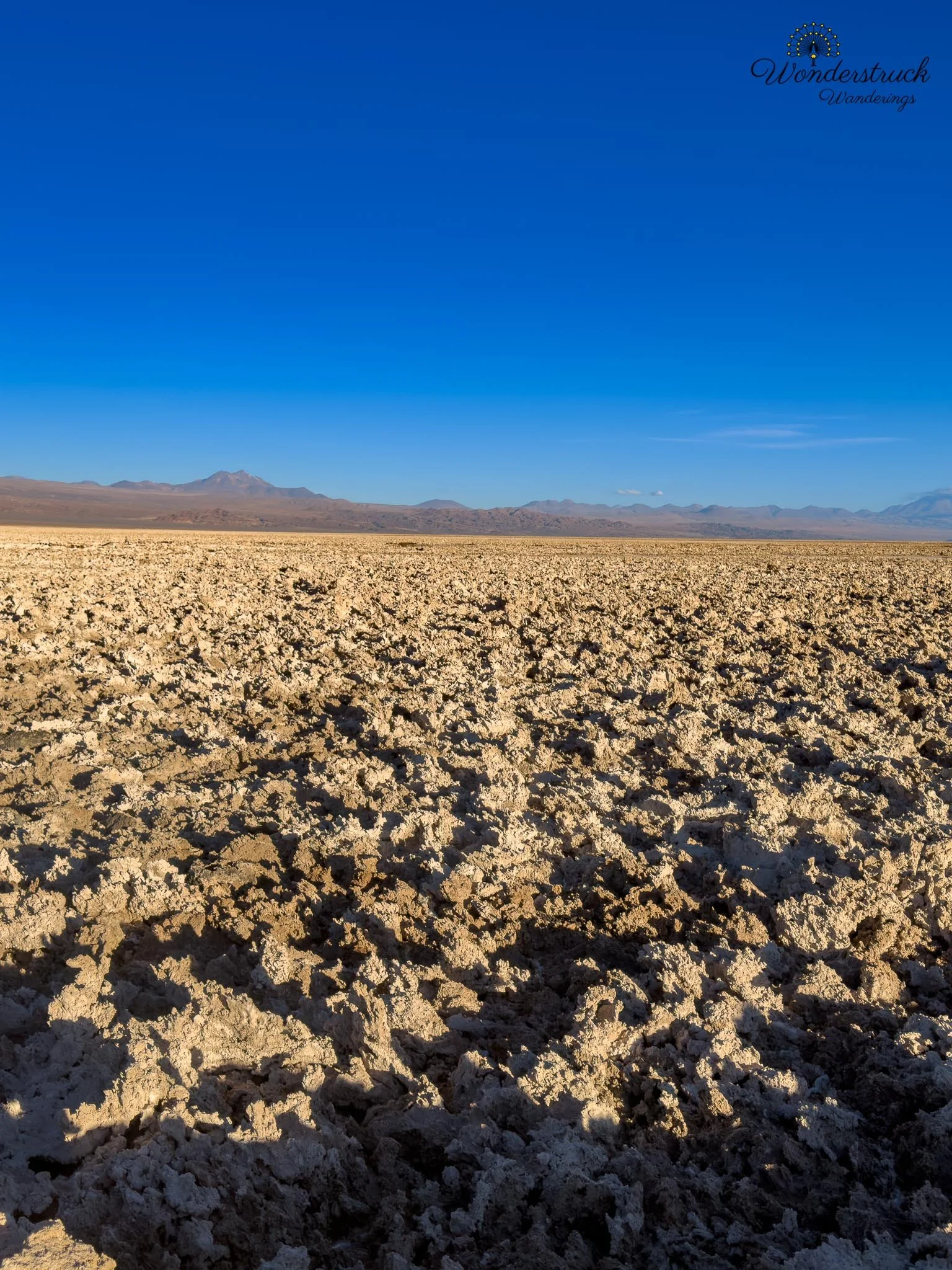
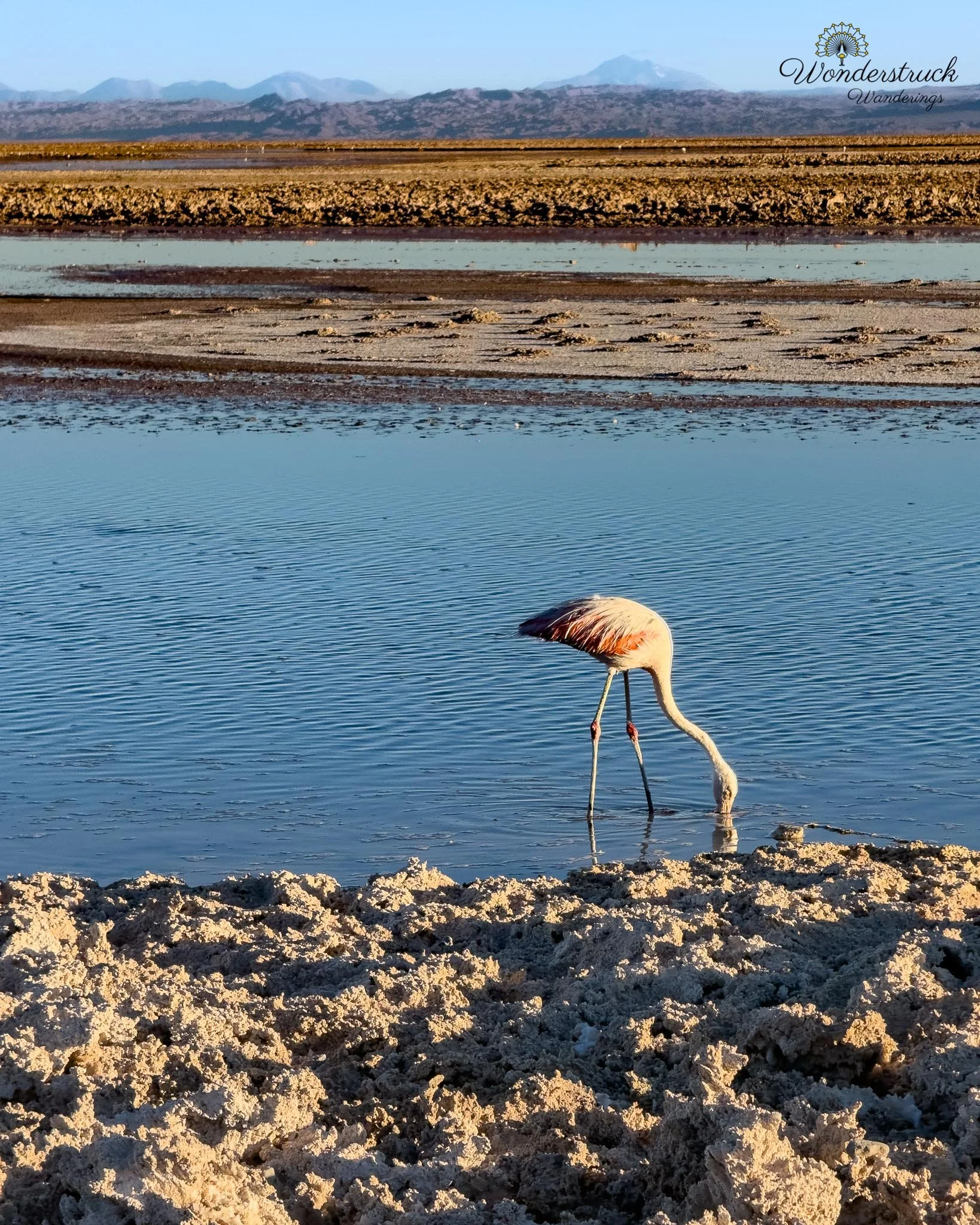
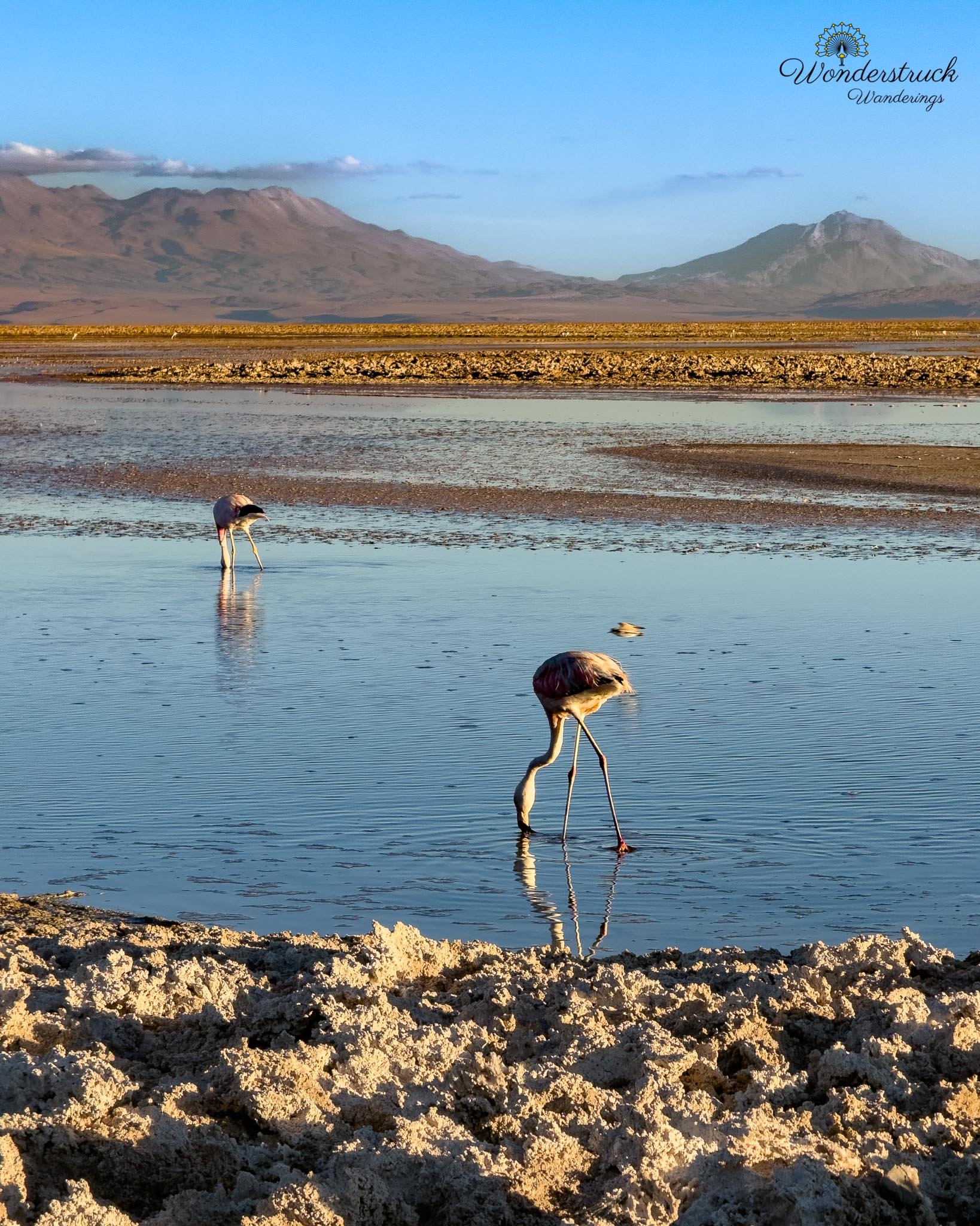
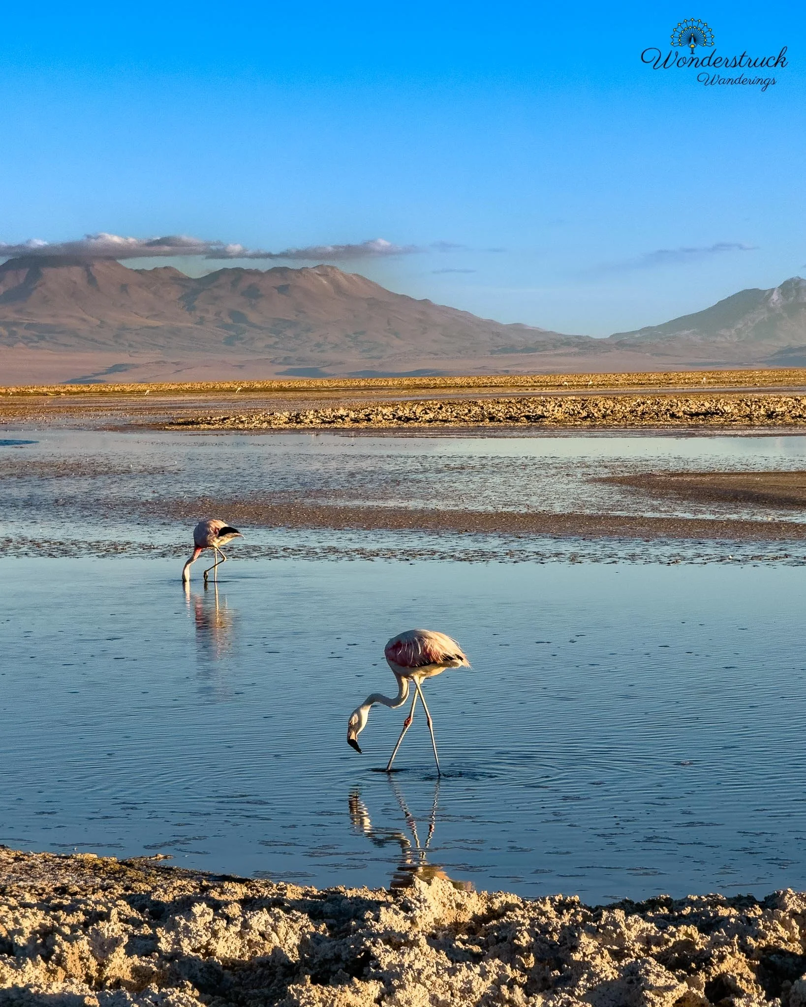
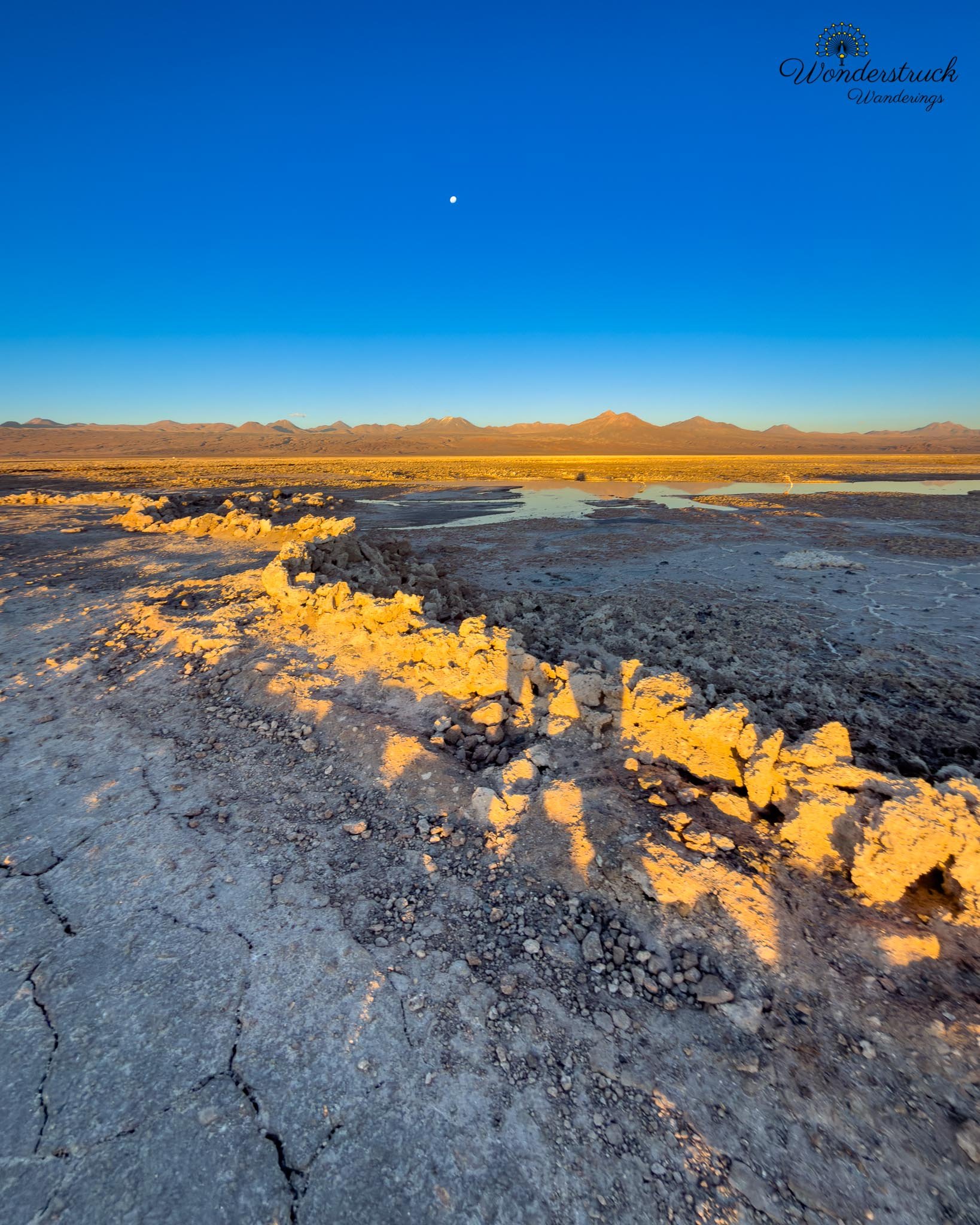
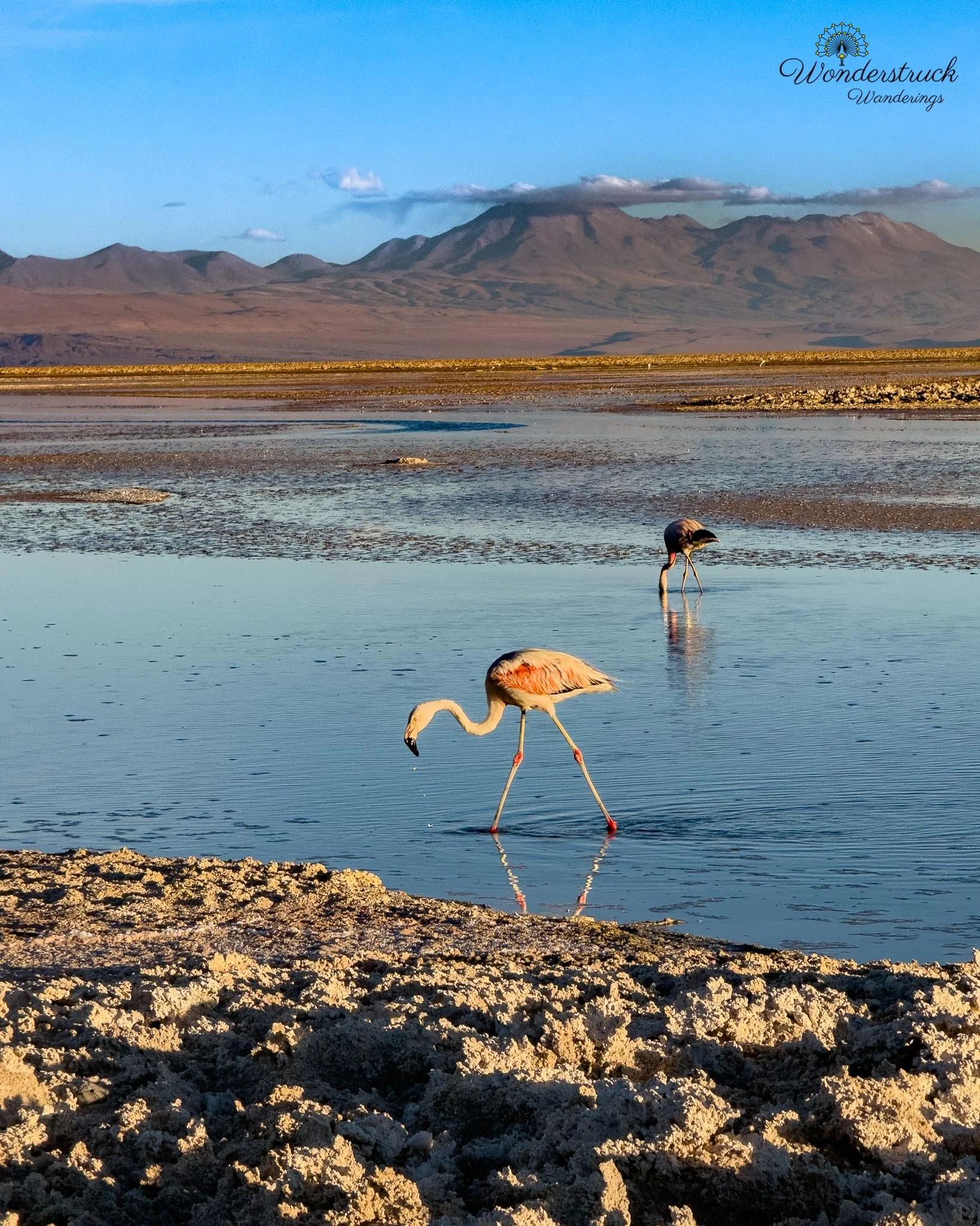
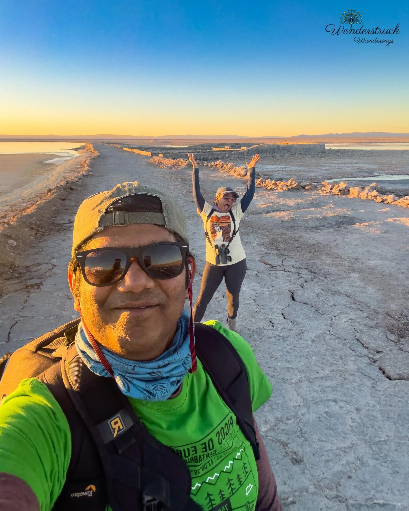
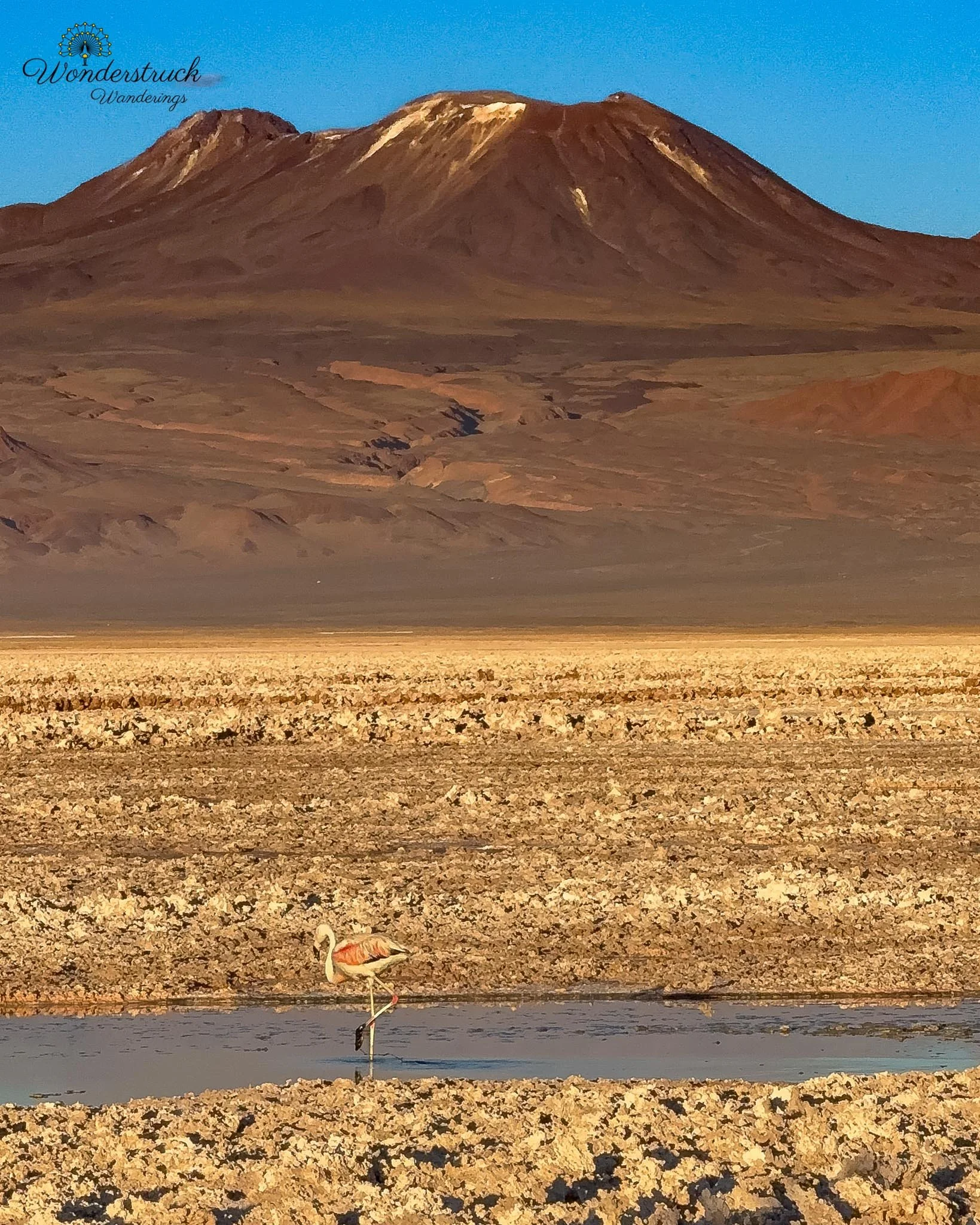
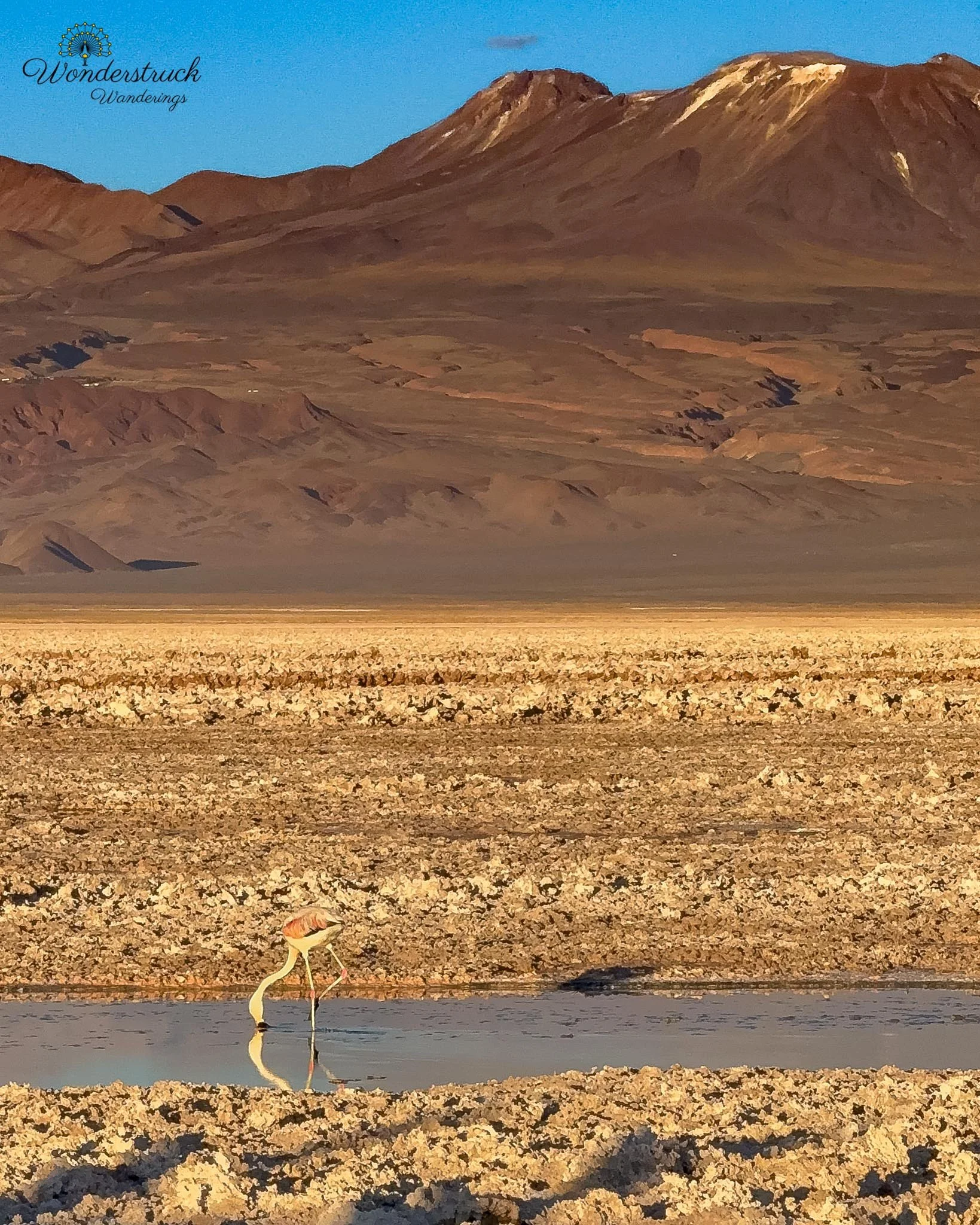
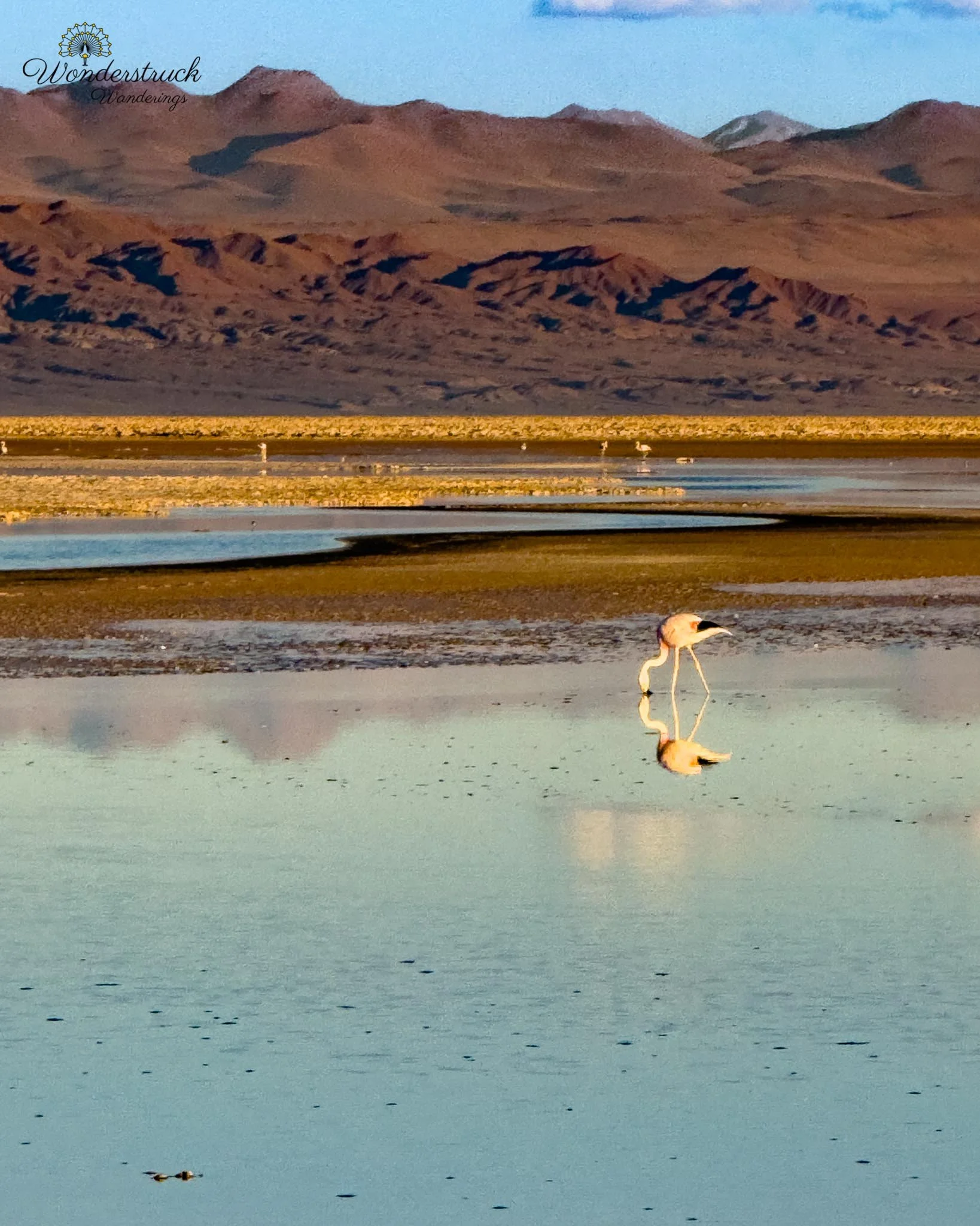
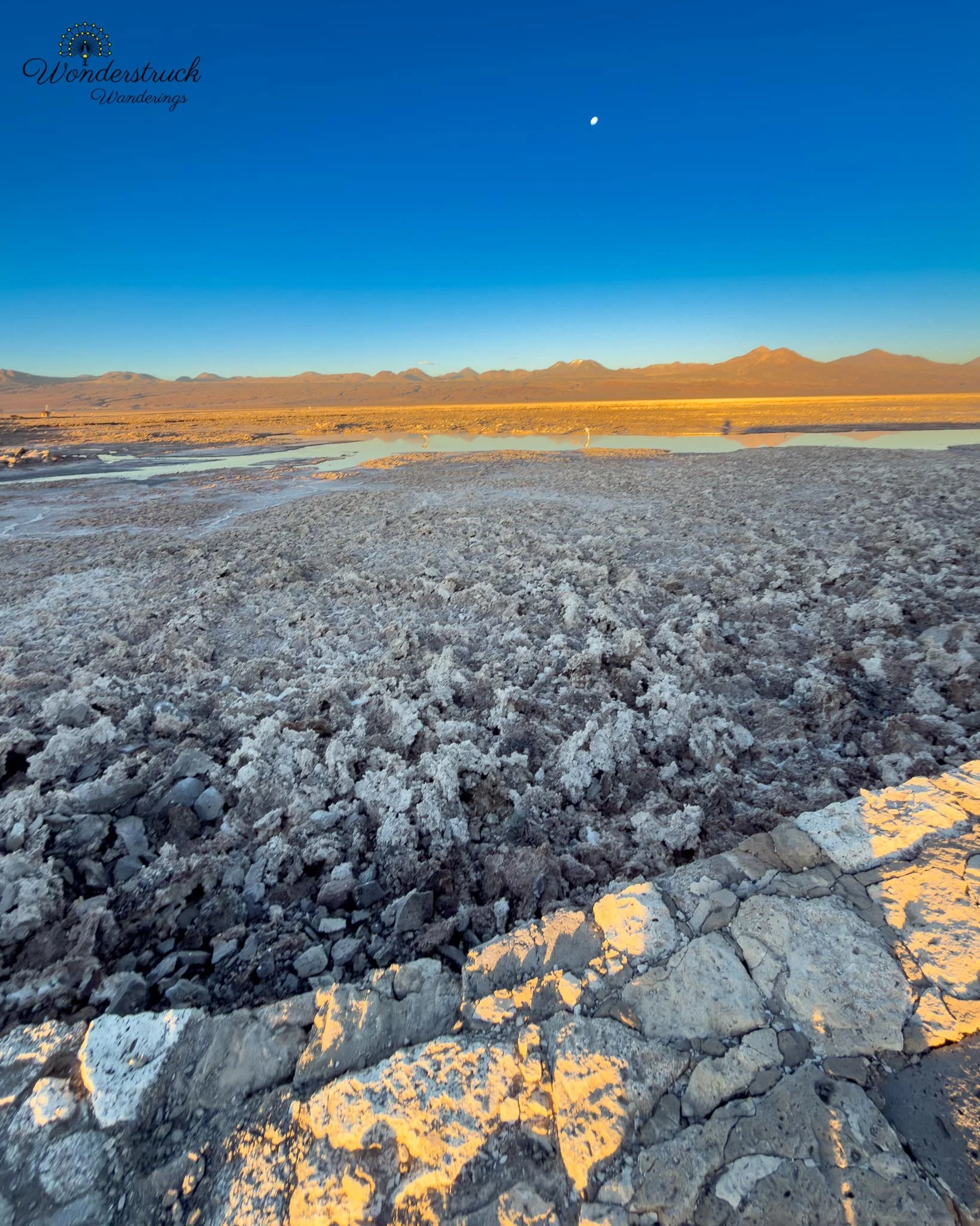
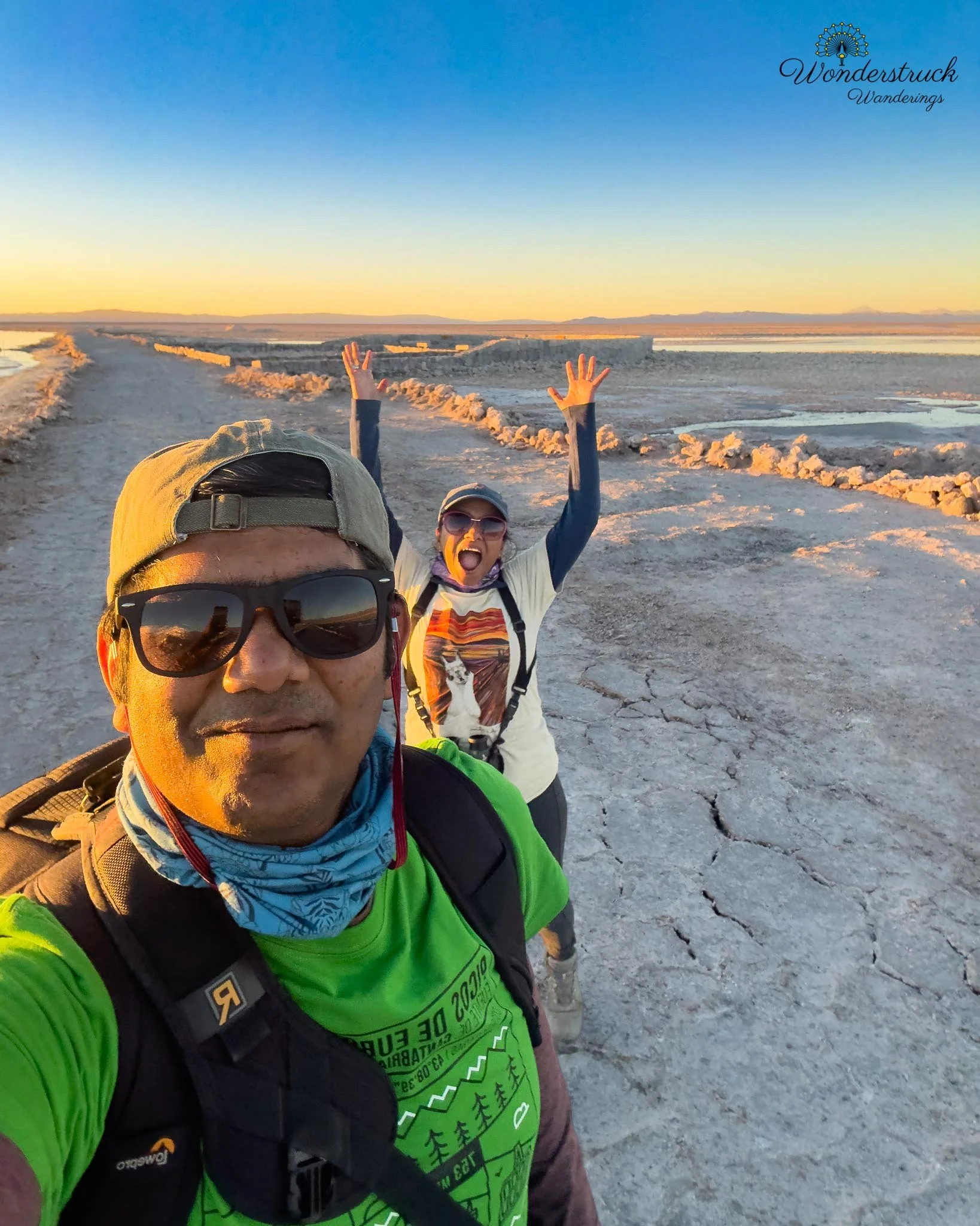
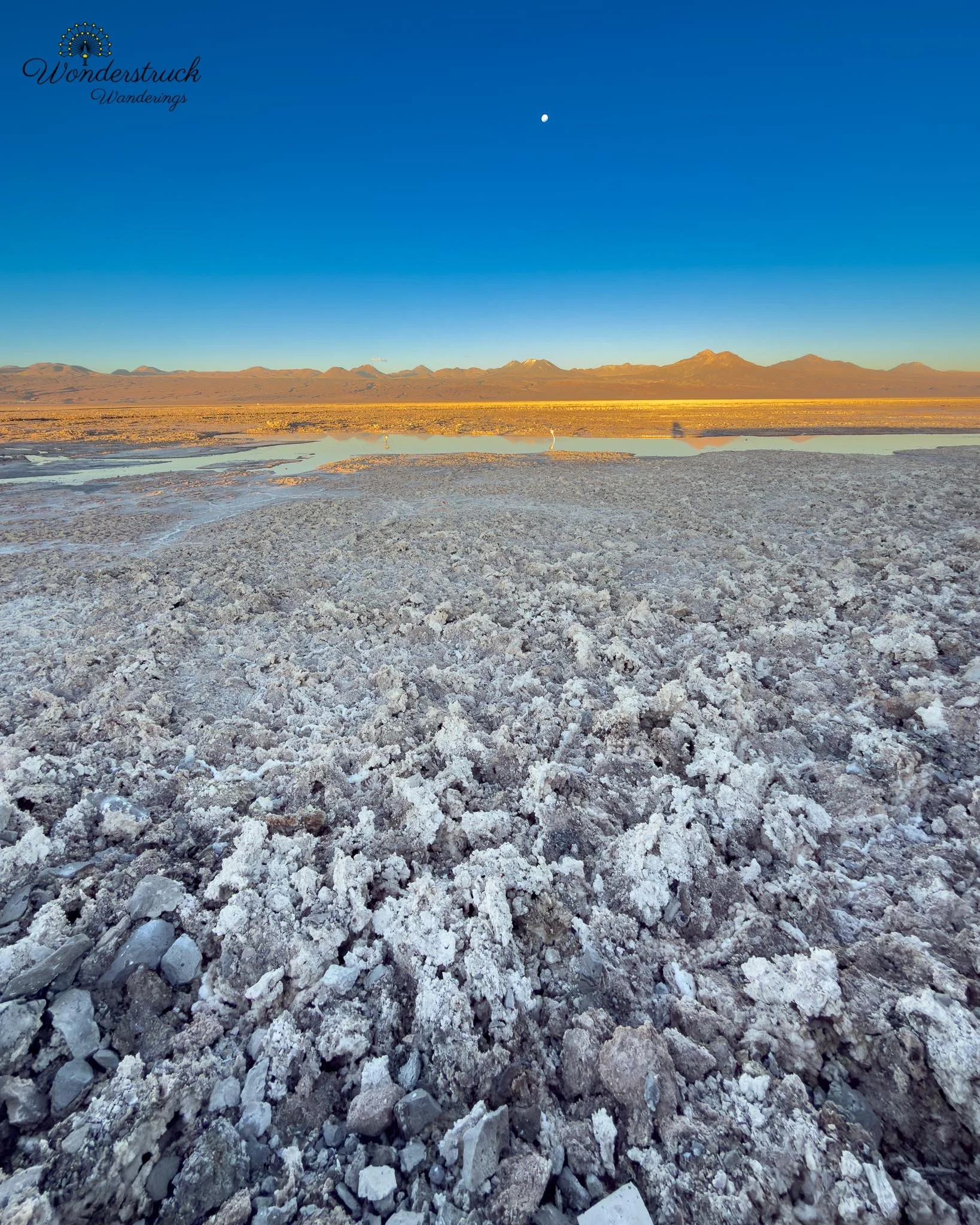
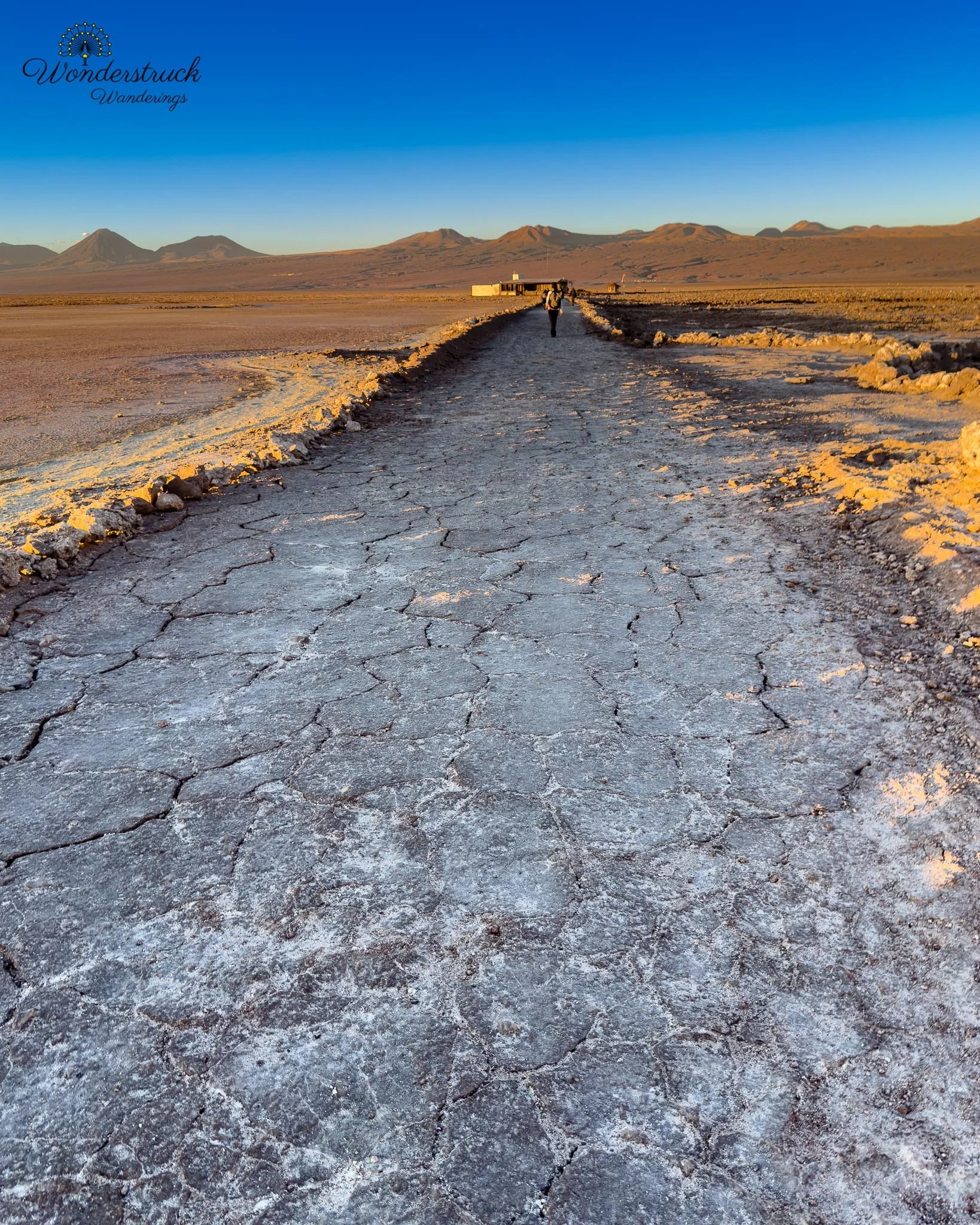
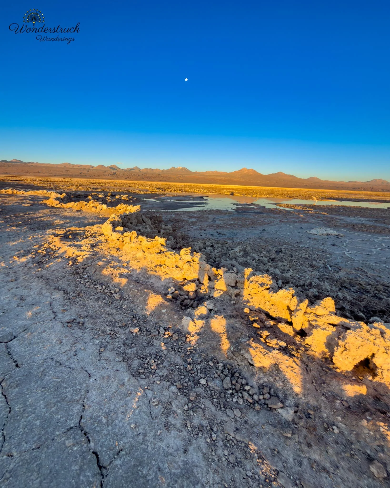
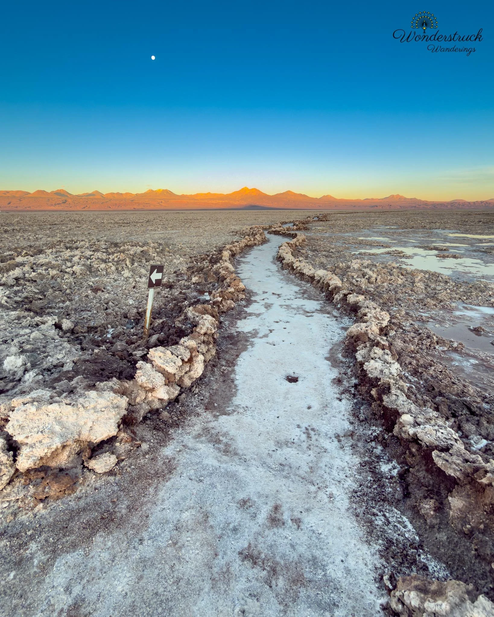
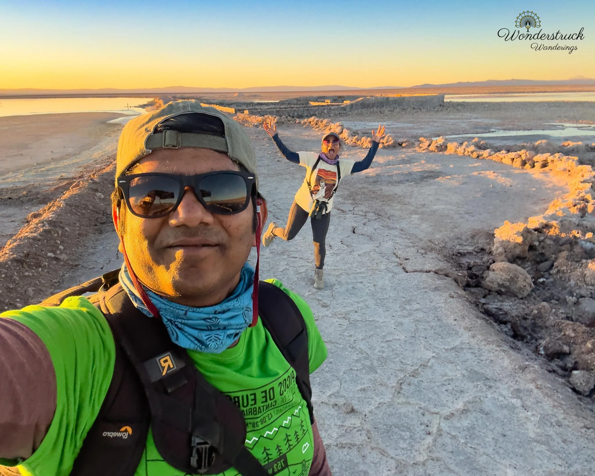
Our plan was to return to Laguna Chaxa for flamingo silhouettes and possible sunset flight shots. We had already visited at sunrise, but we wanted to see the same salt-flat lagoon system in the opposite light. Morning at Chaxa had been about the mountains lighting up behind the lagoons. Evening would be different: flamingos in silhouette, reflections on gold water, birds moving against the western sky, and the salar turning warmer as the sun dropped. A good alternate sunset plan is Laguna Tebenquiche. It is closer to San Pedro than Chaxa and sits in the northern part of the Salar de Atacama, surrounded by salt crust, shallow water, open desert, and volcano views. The drive is usually straightforward: leave San Pedro toward the salar, follow the marked dirt roads, and expect the final stretch to be unpaved, dusty, and slow. It is not a difficult drive in normal dry conditions, but like most Atacama salt-flat roads, it is better to allow extra time and avoid rushing near sunset. Laguna Tebenquiche works well for sunset because it is more about reflections, open sky, and low-angle light than close wildlife. On calm evenings, the shallow water can mirror the volcanoes and clouds, while the salt crust gives the foreground texture. It is a good option if your priority is landscape photography rather than flamingo behavior. We were told that payment for Tebenquiche could be made in cash at the entrance, which makes it useful as a more flexible backup compared with sites that require stricter online reservations. We still chose Laguna Chaxa because our sunrise visit had been beautiful, and we wanted another chance with flamingos in different light. It was less about seeing a new place and more about returning with a different photographic goal.
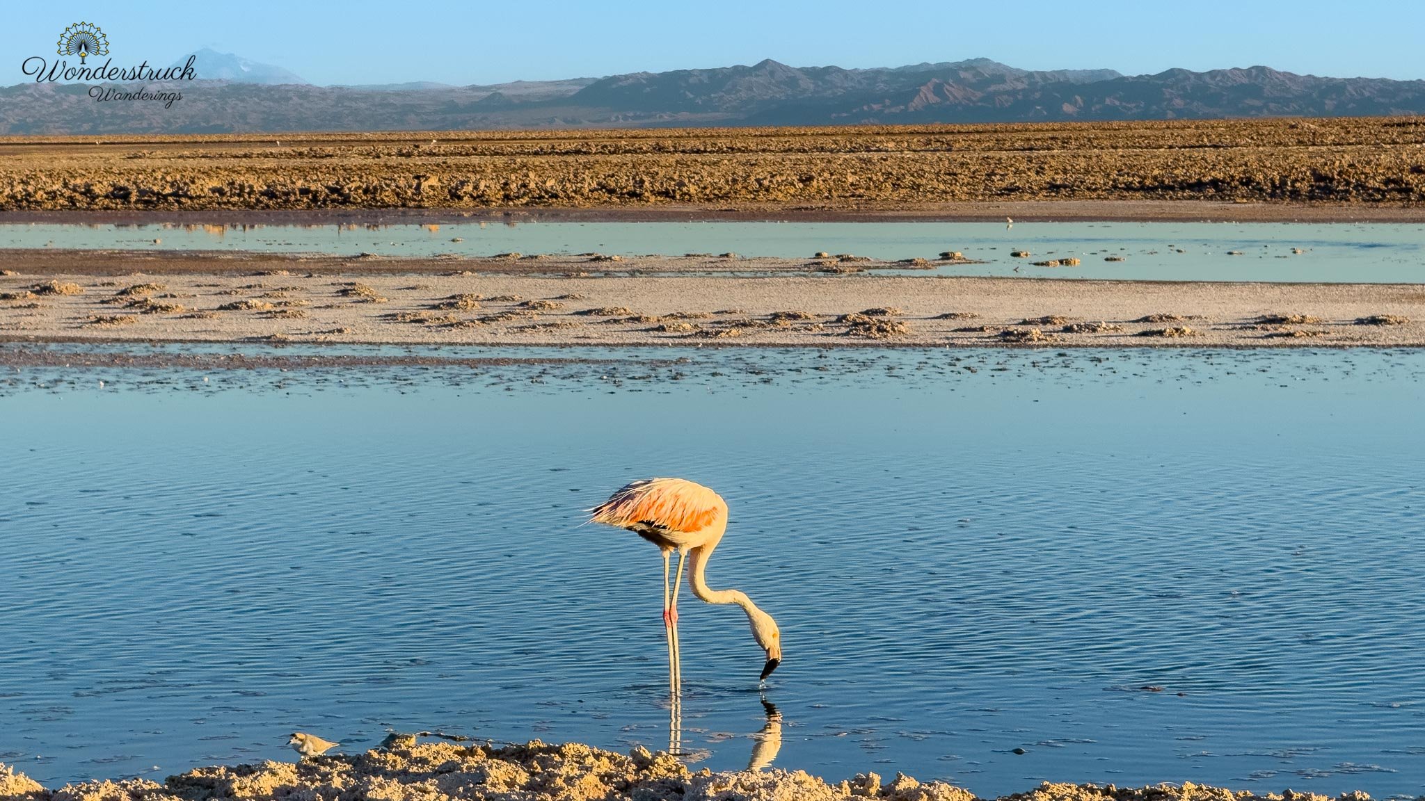
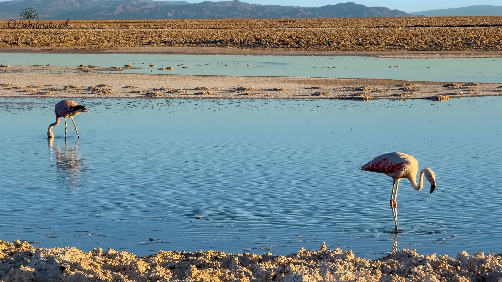
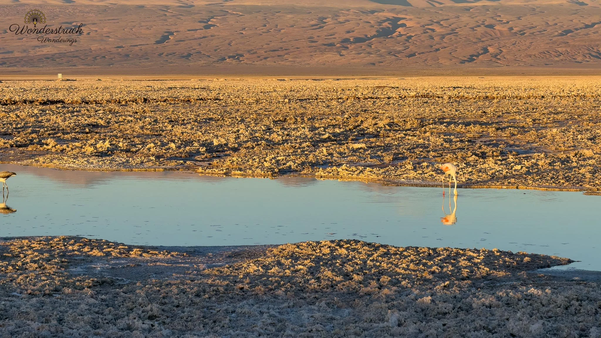
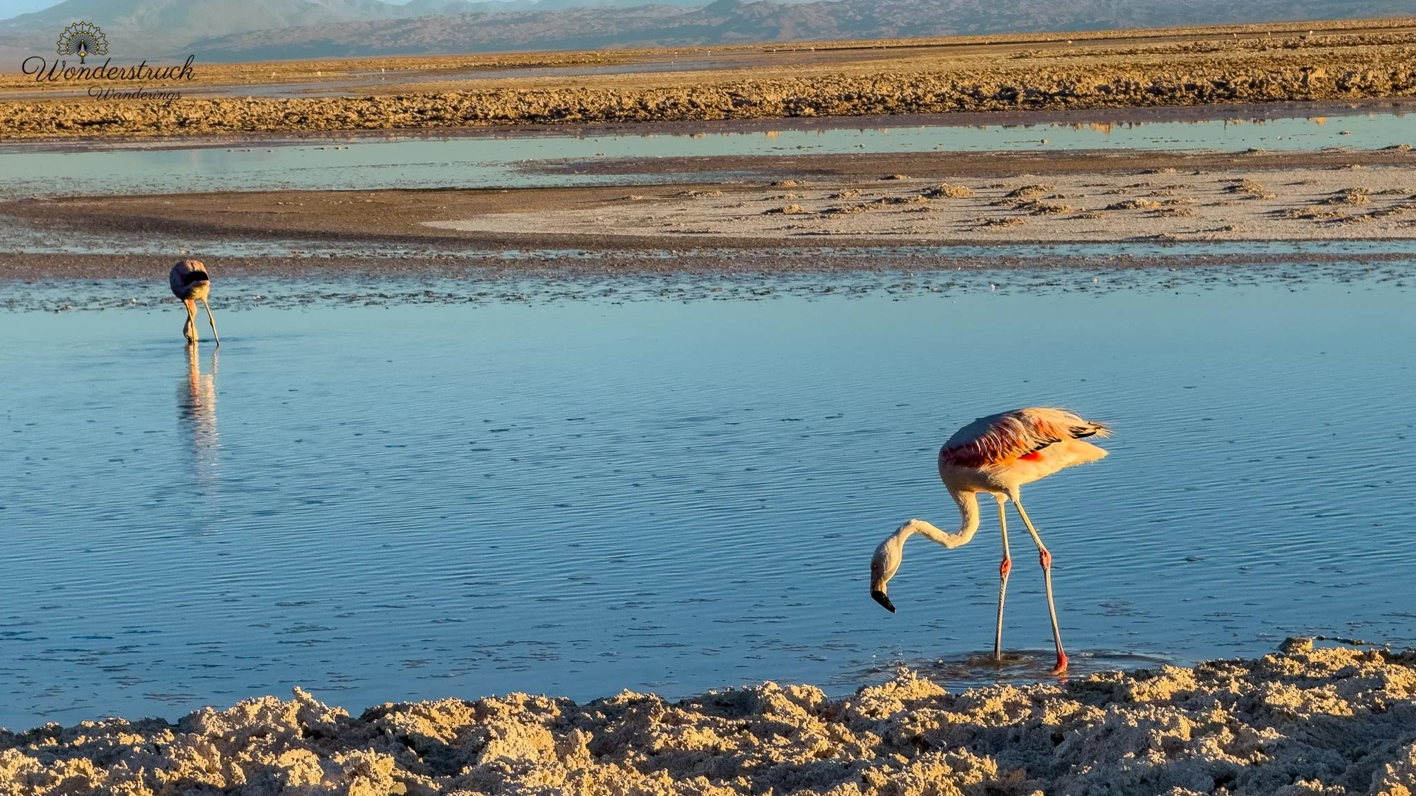
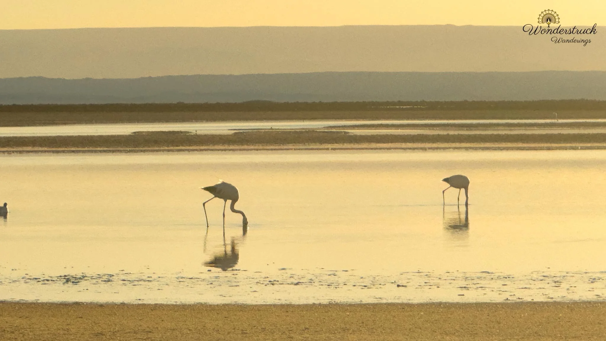
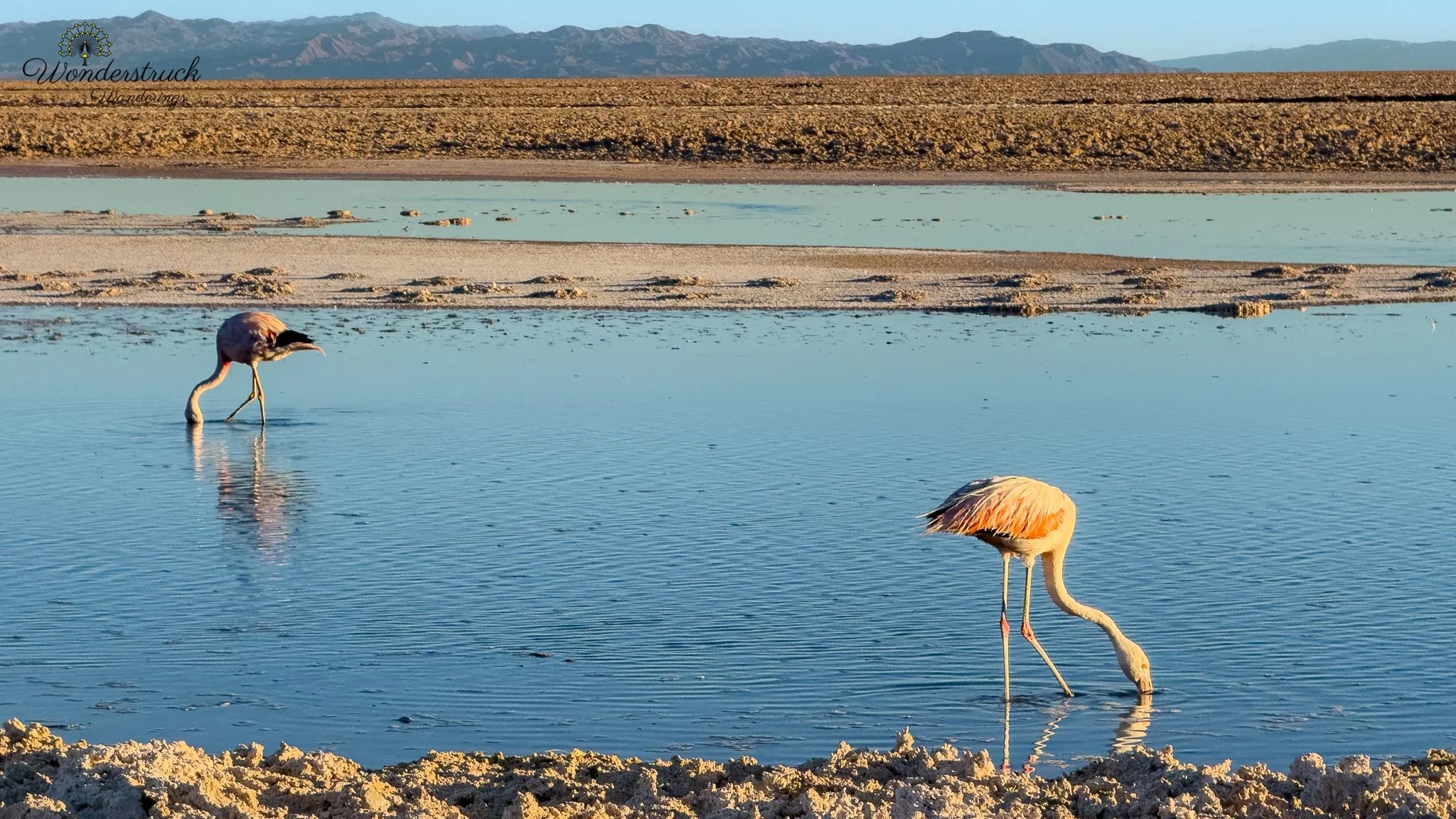
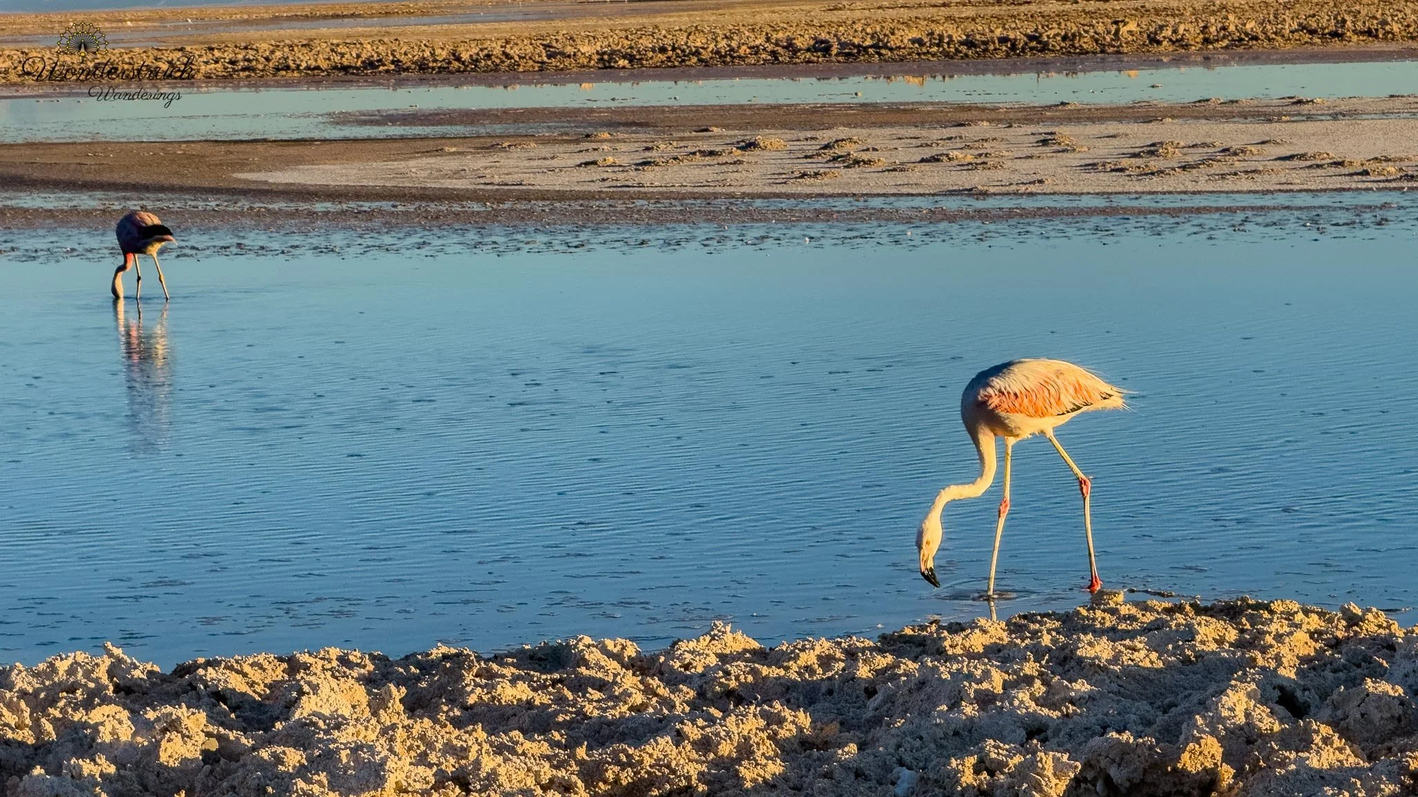
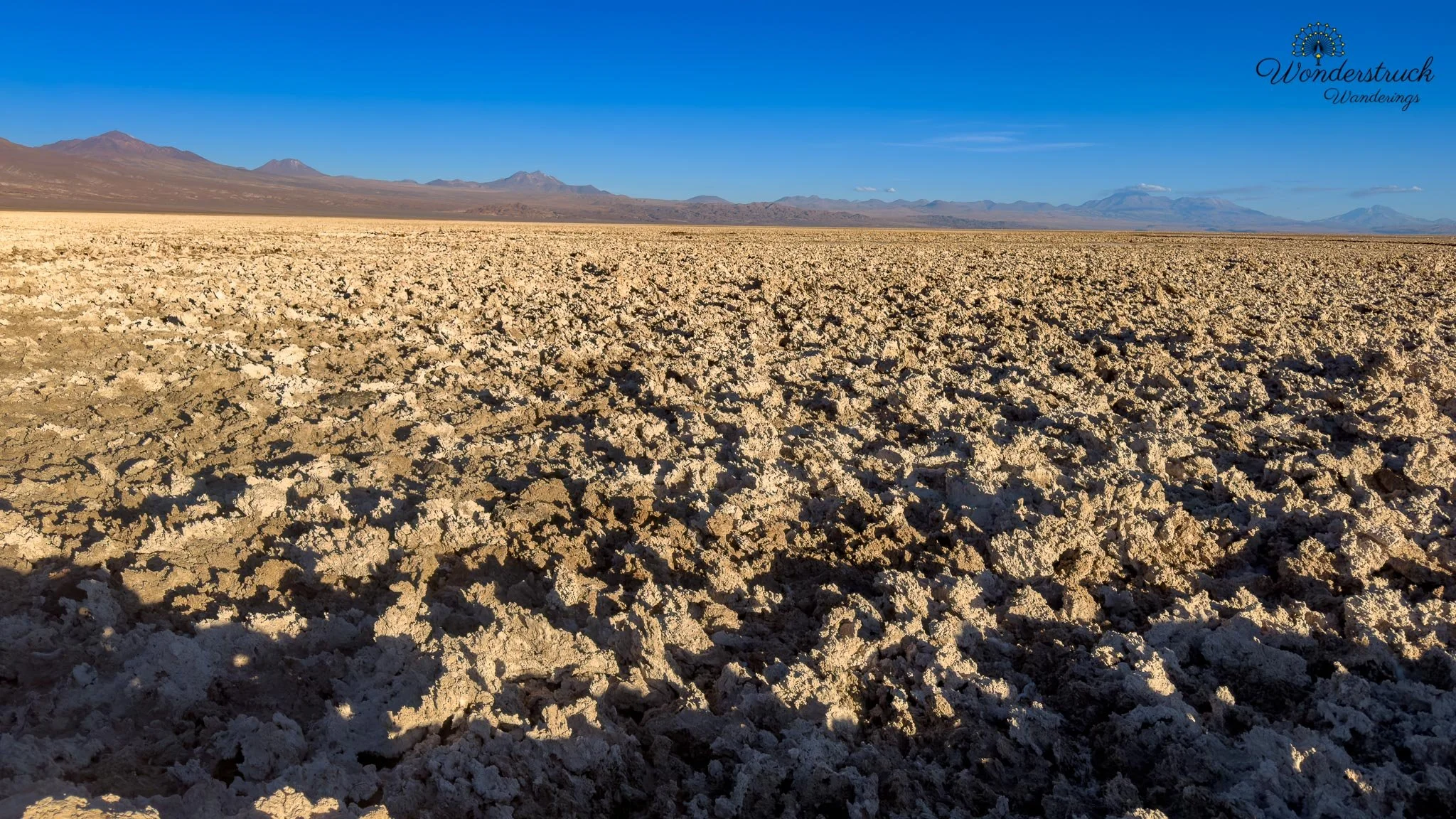
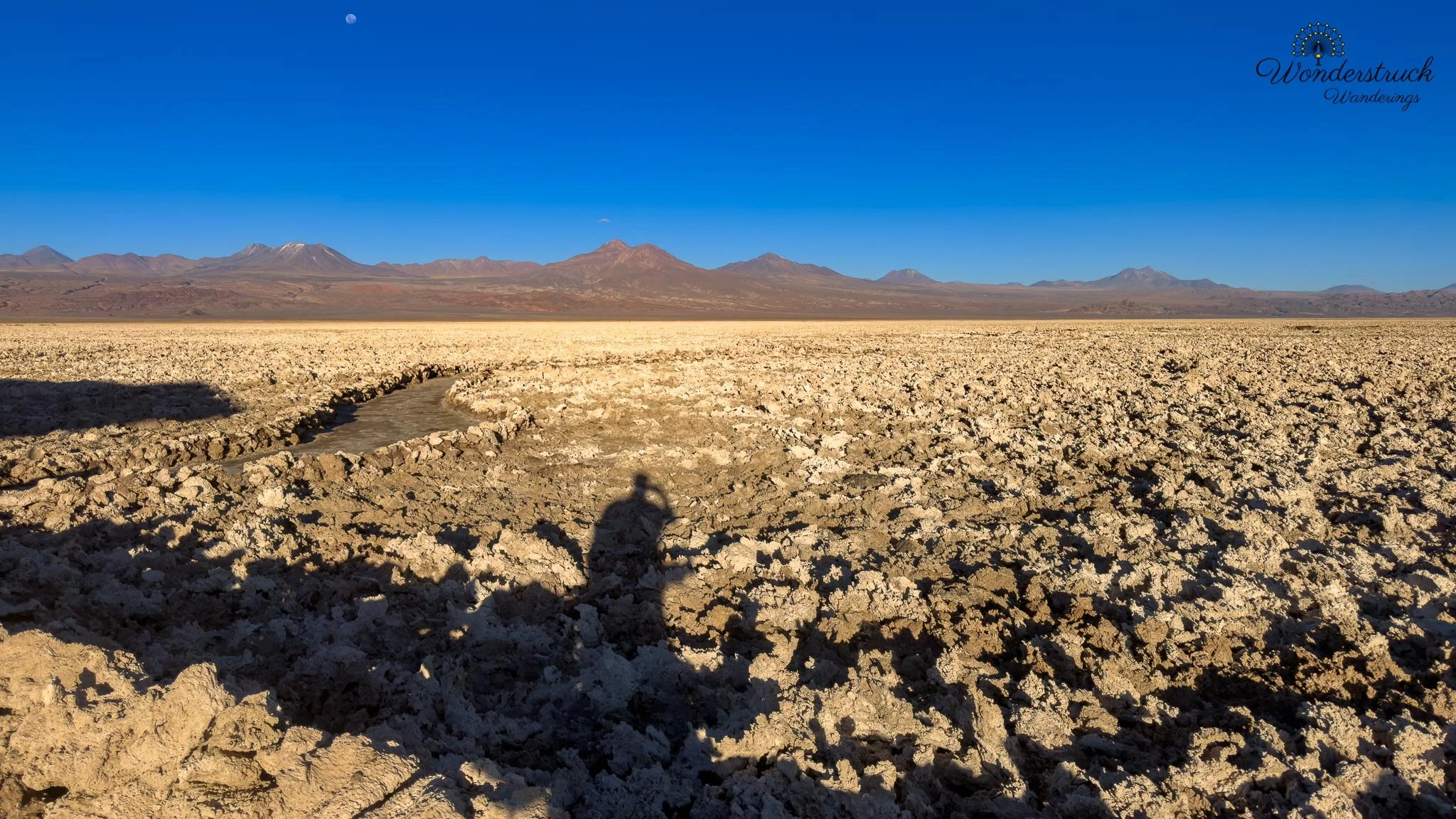
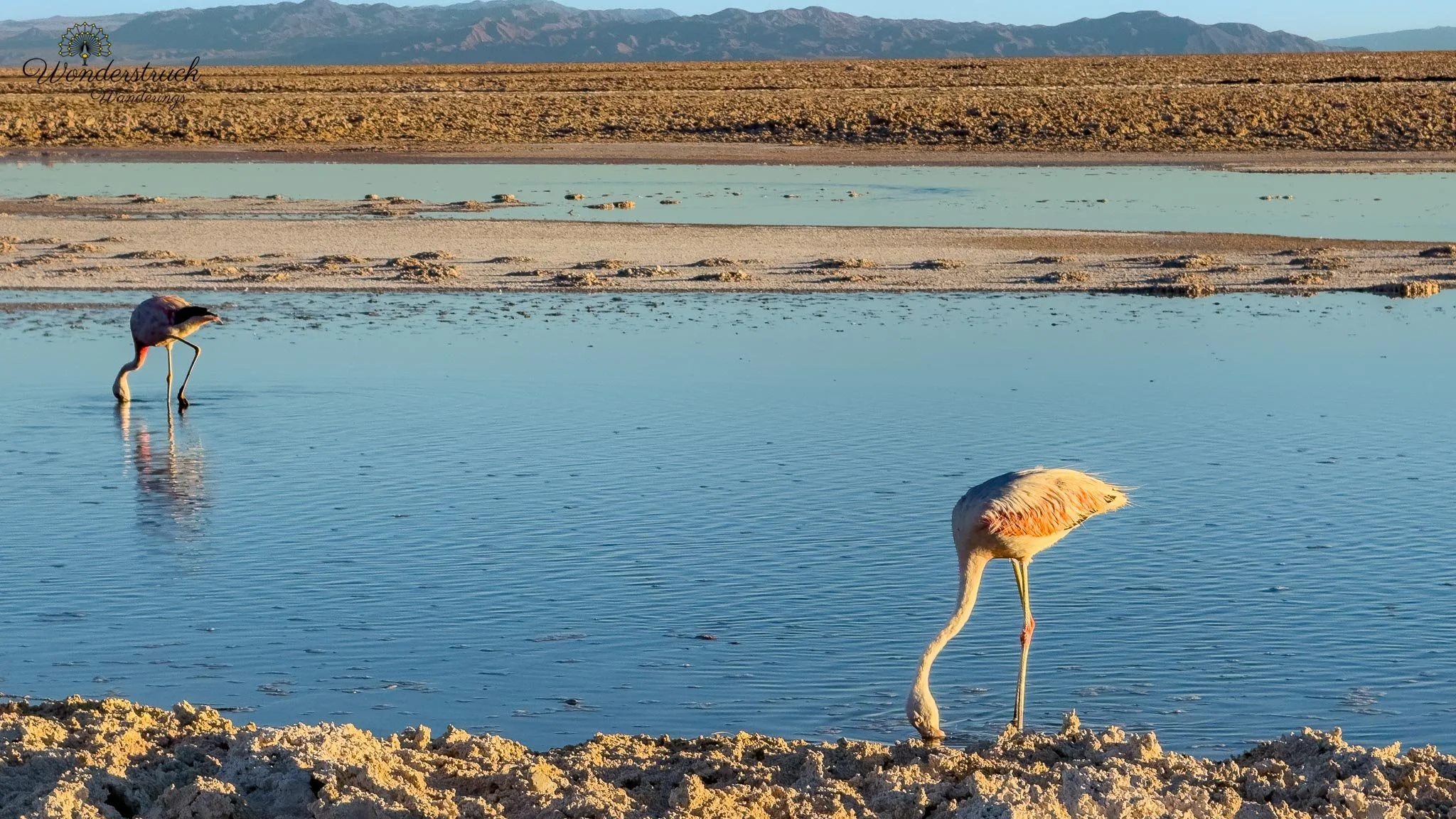
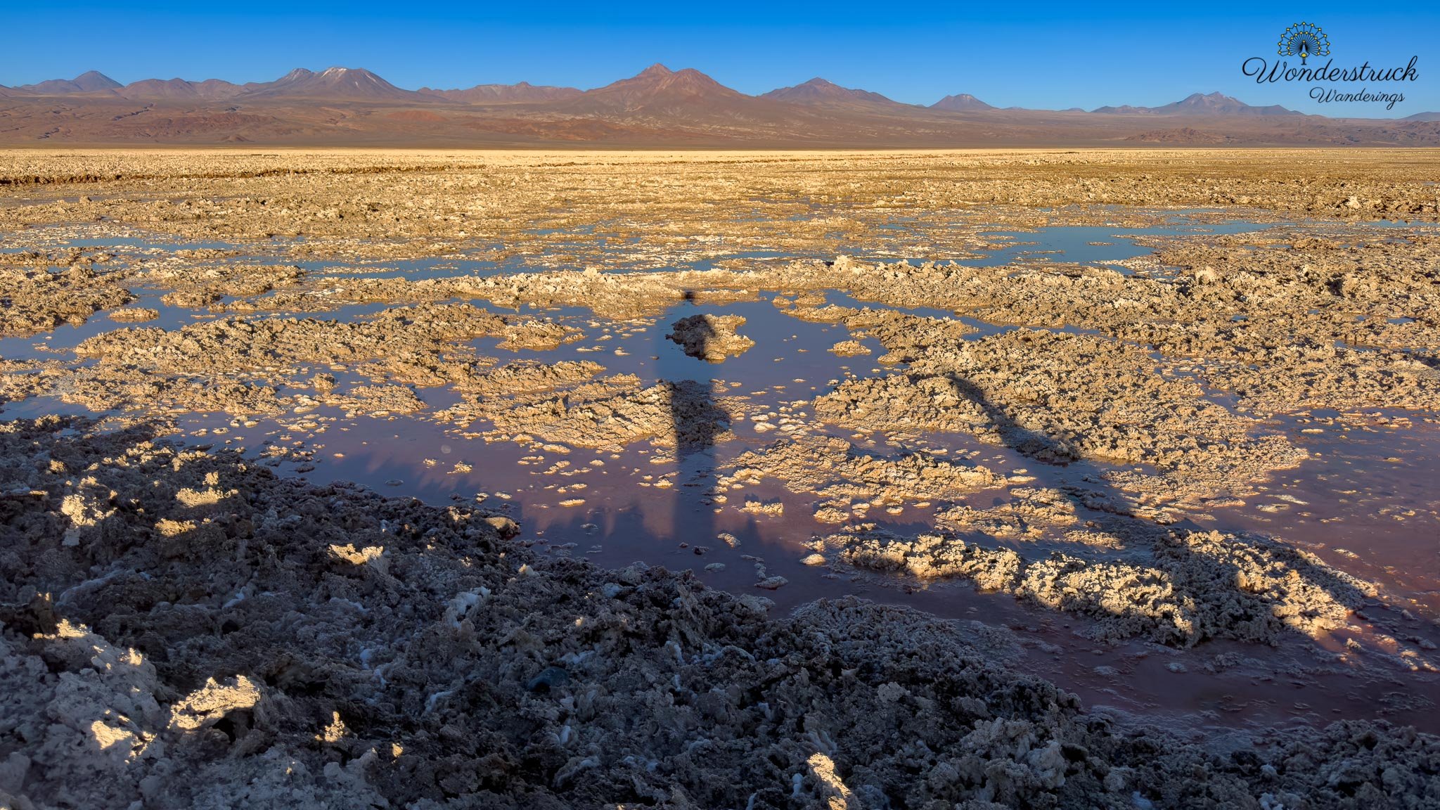
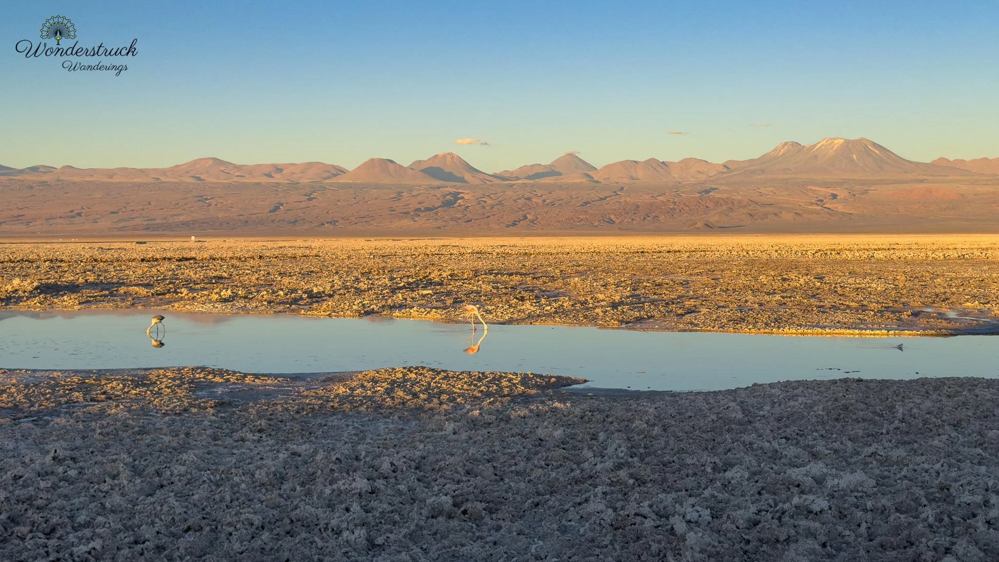
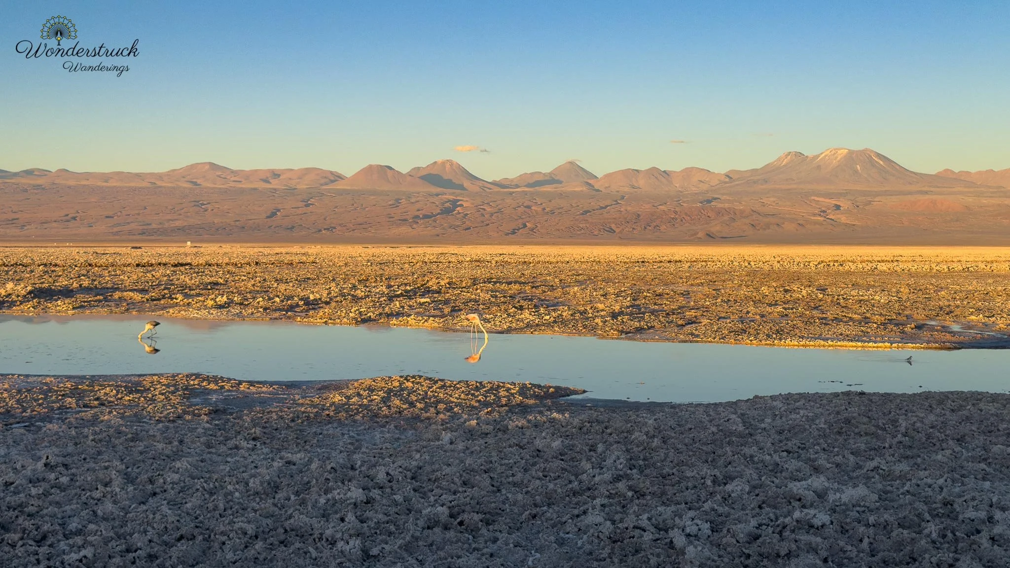
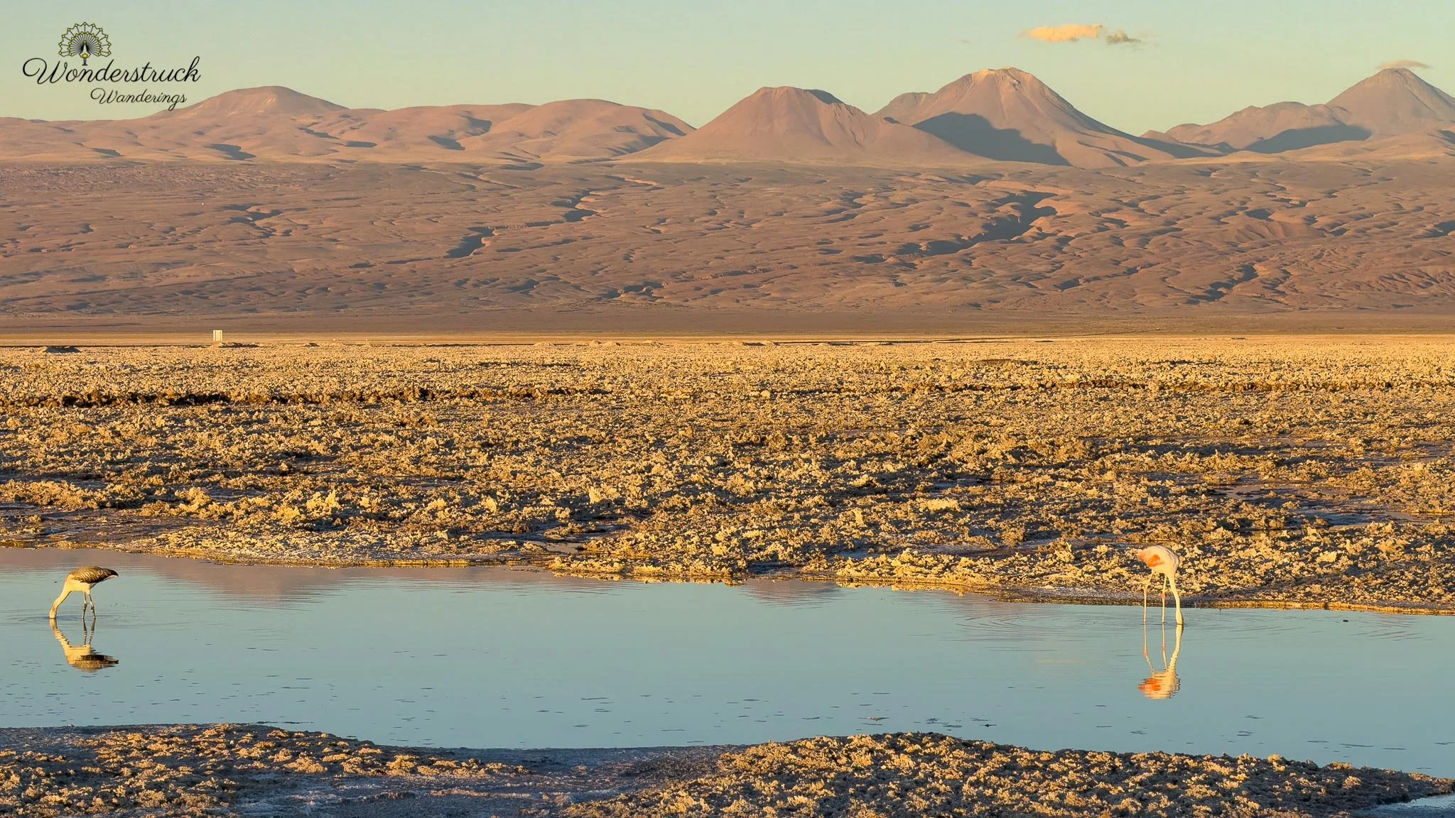
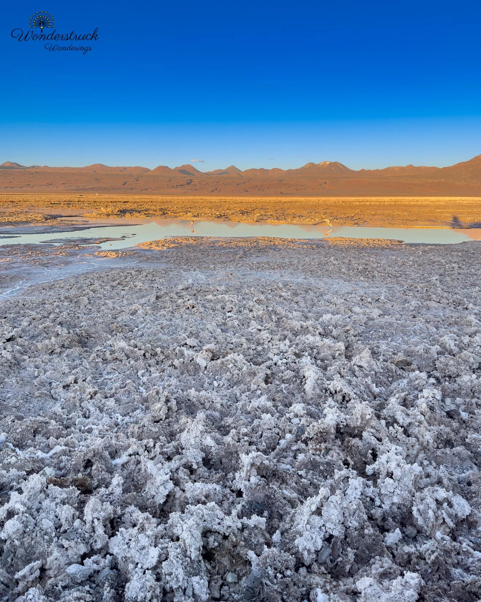
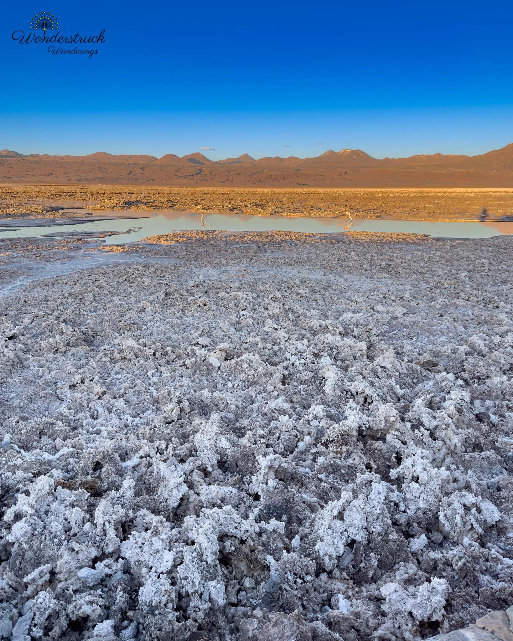
As we drove to Laguna Chaxa, the late light was already casting shadows across the salt flat, making the texture come alive. Salt flats can look flat and harsh in midday light, but at low angles, every jagged crystal and crusted edge begins to stand out. The landscape becomes graphic - white salt, dark shadows, blue water, and flamingo shapes. As with our first visit, we had to cross an outer gate before reaching the ticket counter. We arrived about five minutes before 5 p.m., and the gate was locked. A staff member was sitting there in a car. They let a tourist van enter but told us the site was closed. I explained that it closed at 6 p.m., but he kept saying those were the orders he had received. After some pleading, I asked him to call his boss and confirm by radio. Finally, they said we could enter because it was still before 5 p.m., but we had to leave the lagoon by 5:40 and the outer gate by 6. We were ecstatic, but also frustrated. The timing at some Atacama sites can feel confusing for independent travelers and oddly better aligned with tour companies. Every hotel and attraction seems to push experiences, the newer word for guided tours, and after a few days you start to notice how often the best light is difficult to access independently. It is not that staff are at fault; they are following rules. But the rules themselves often feel detached from the actual landscape experience. Nature should not feel like it is being rationed by budget level.
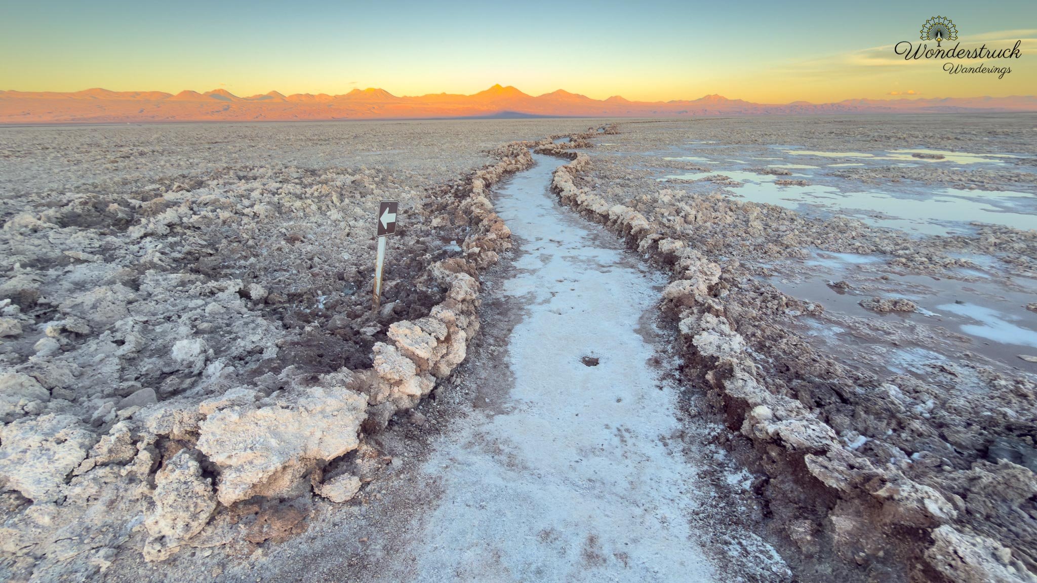
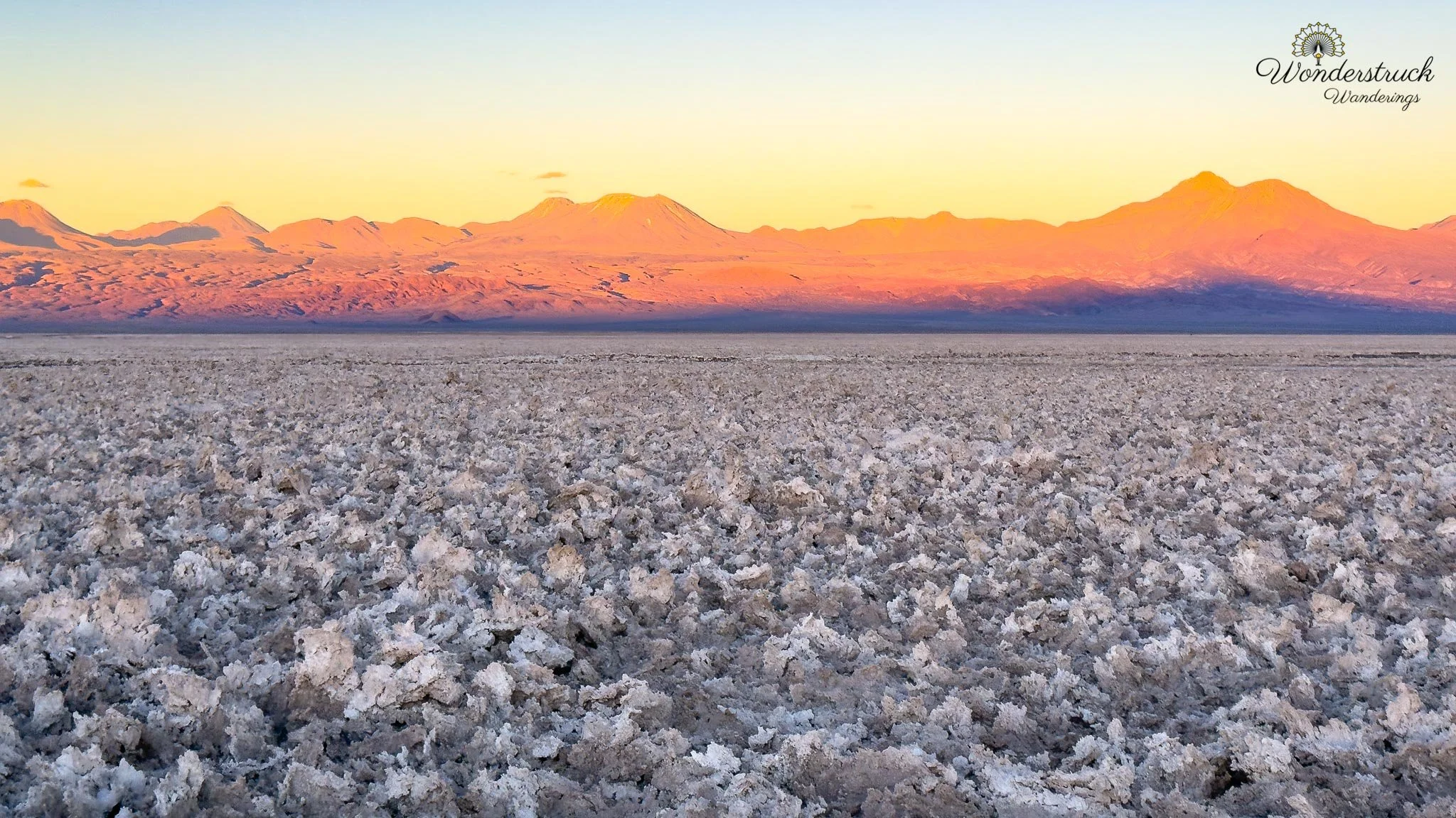
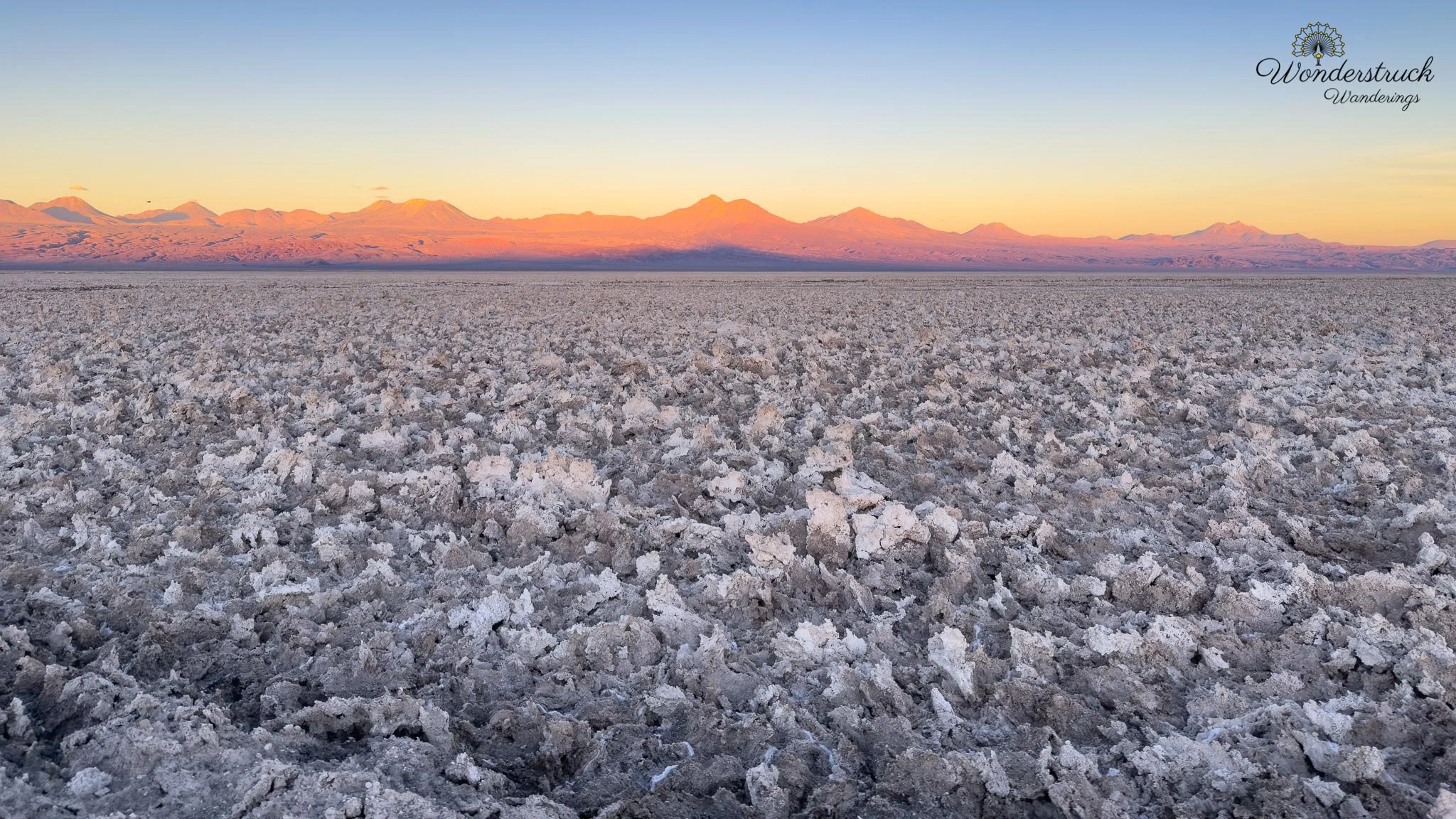
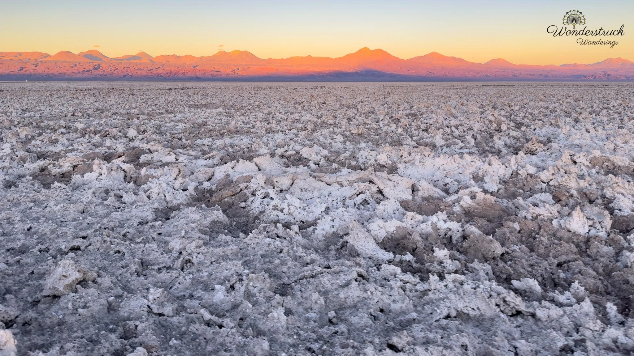
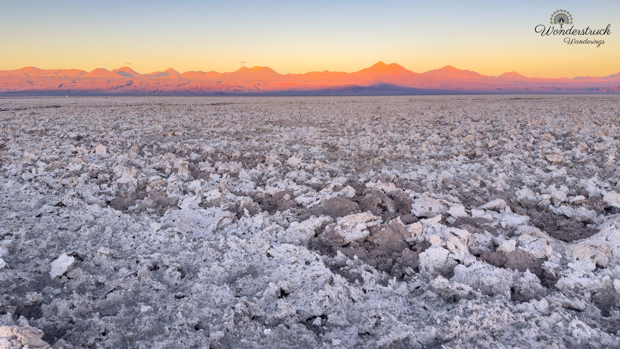
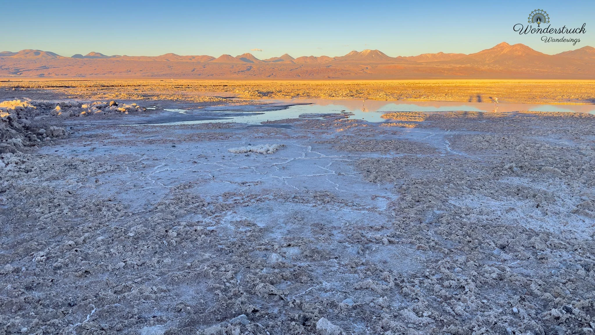
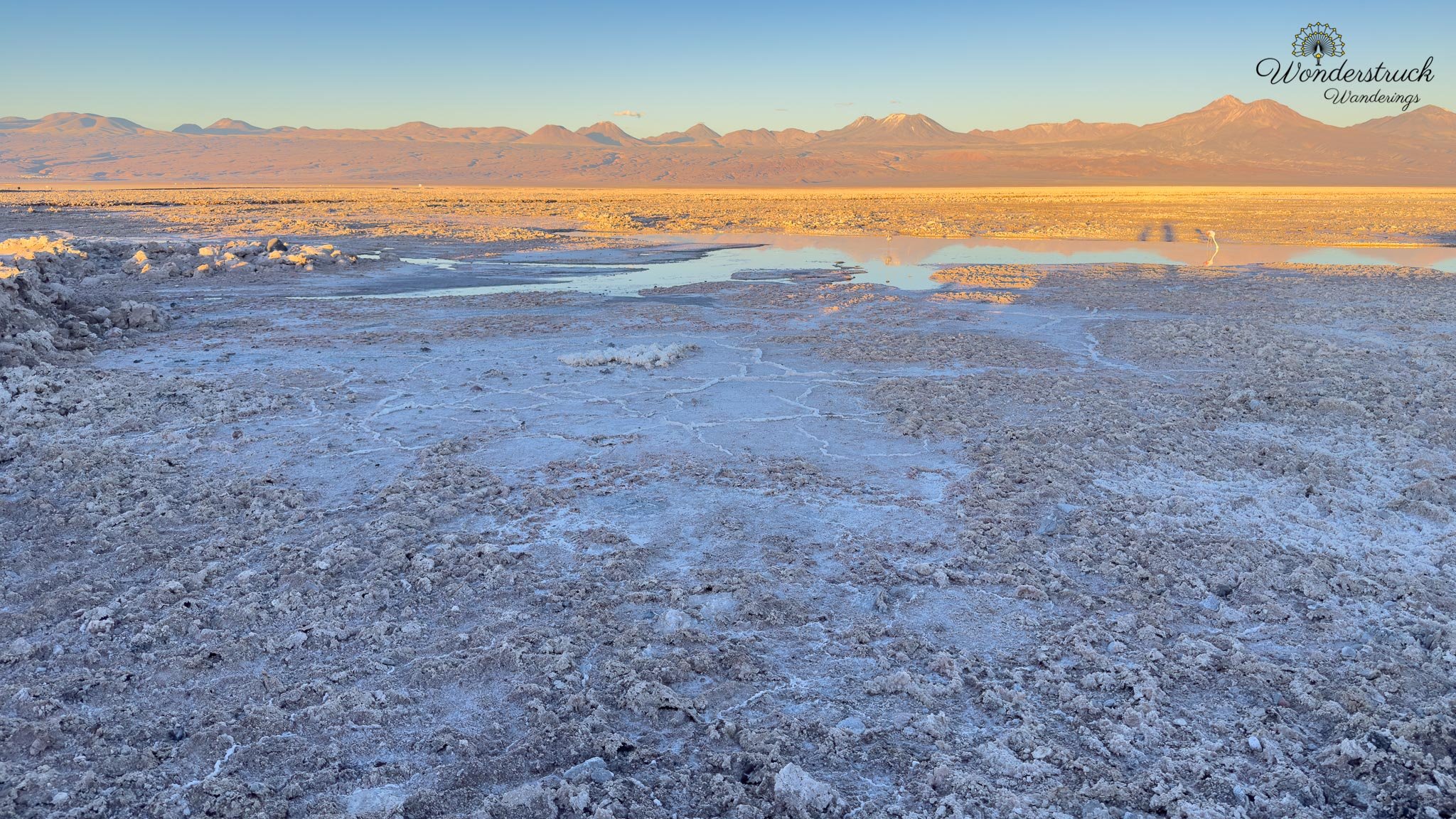
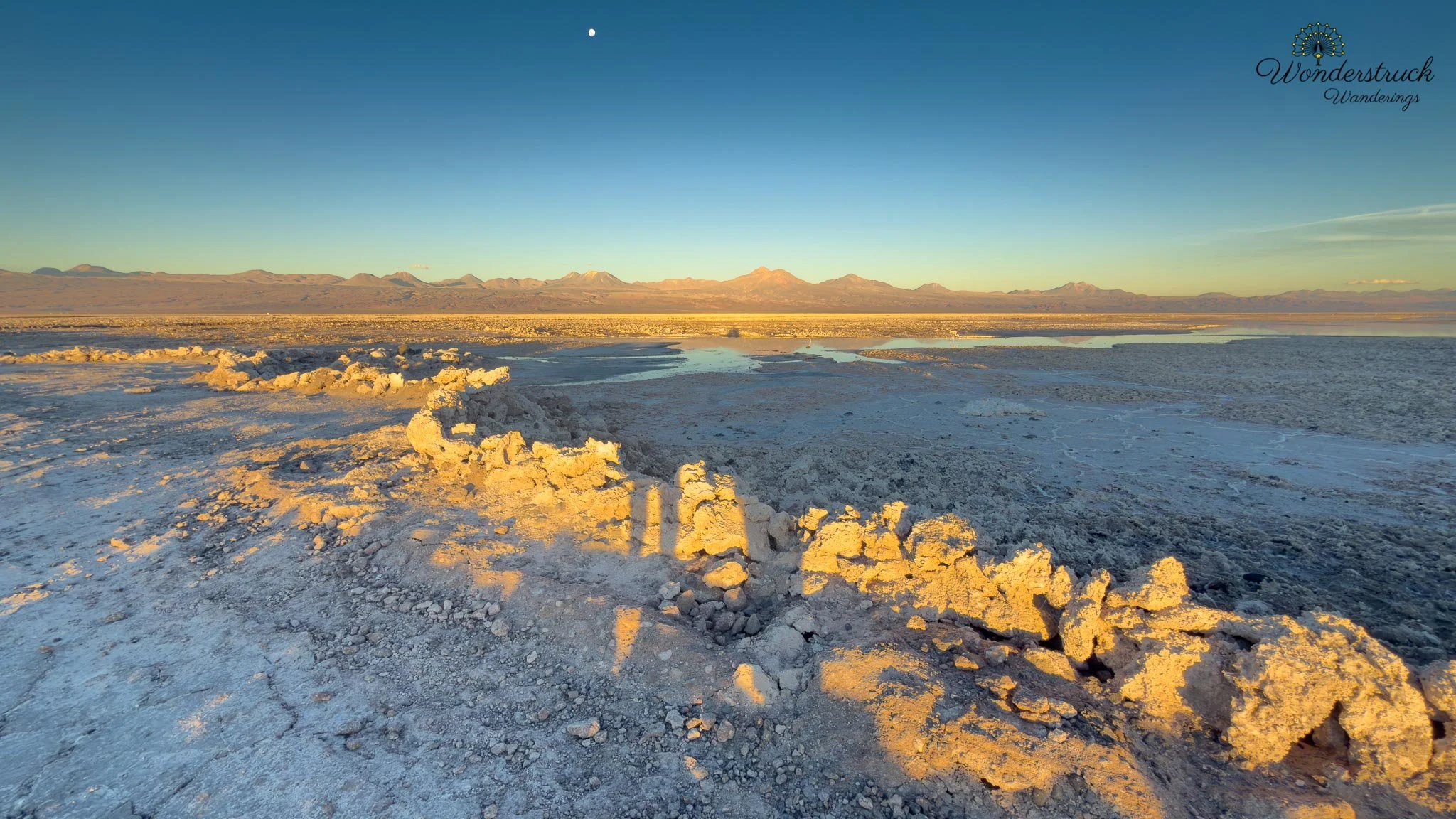
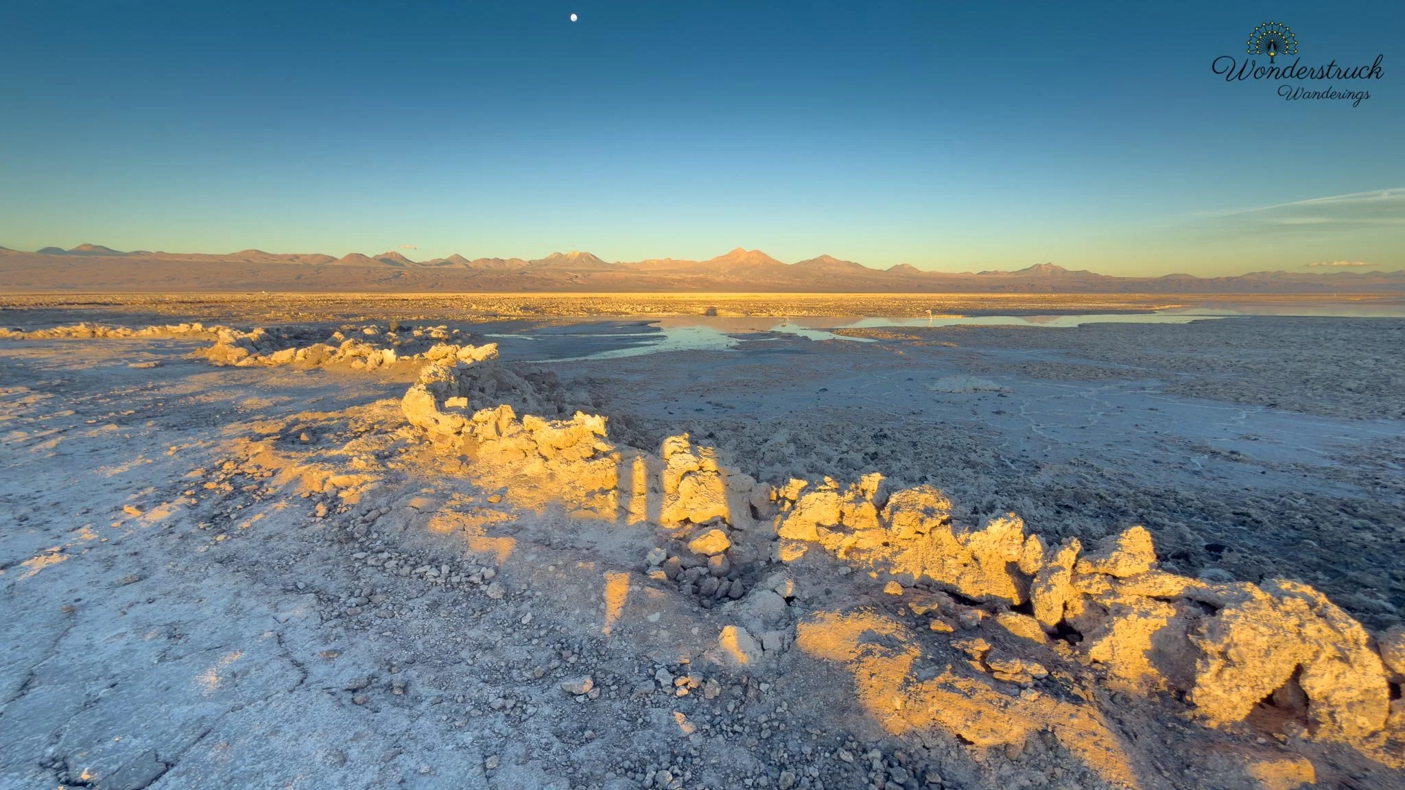
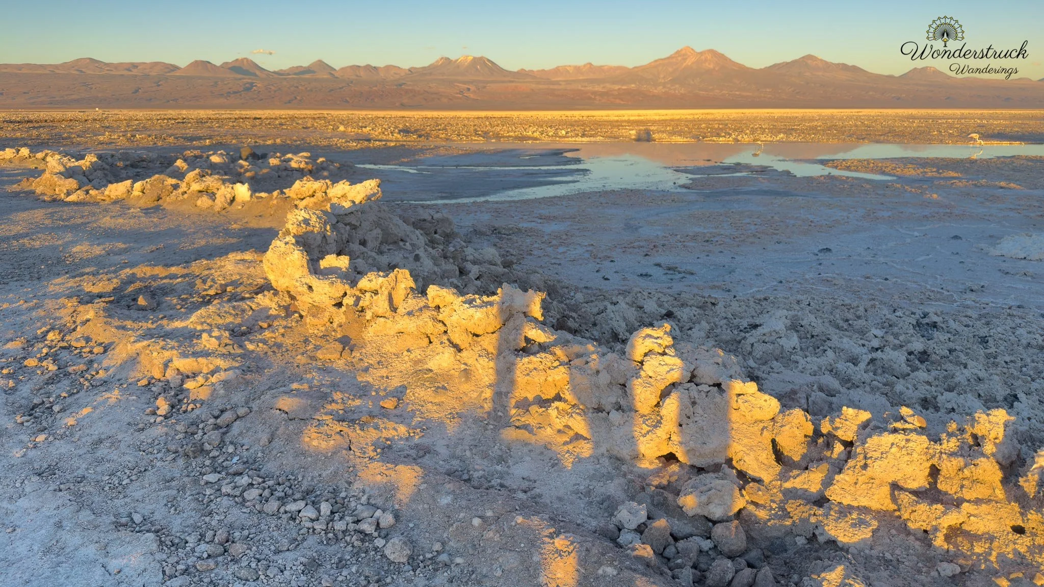
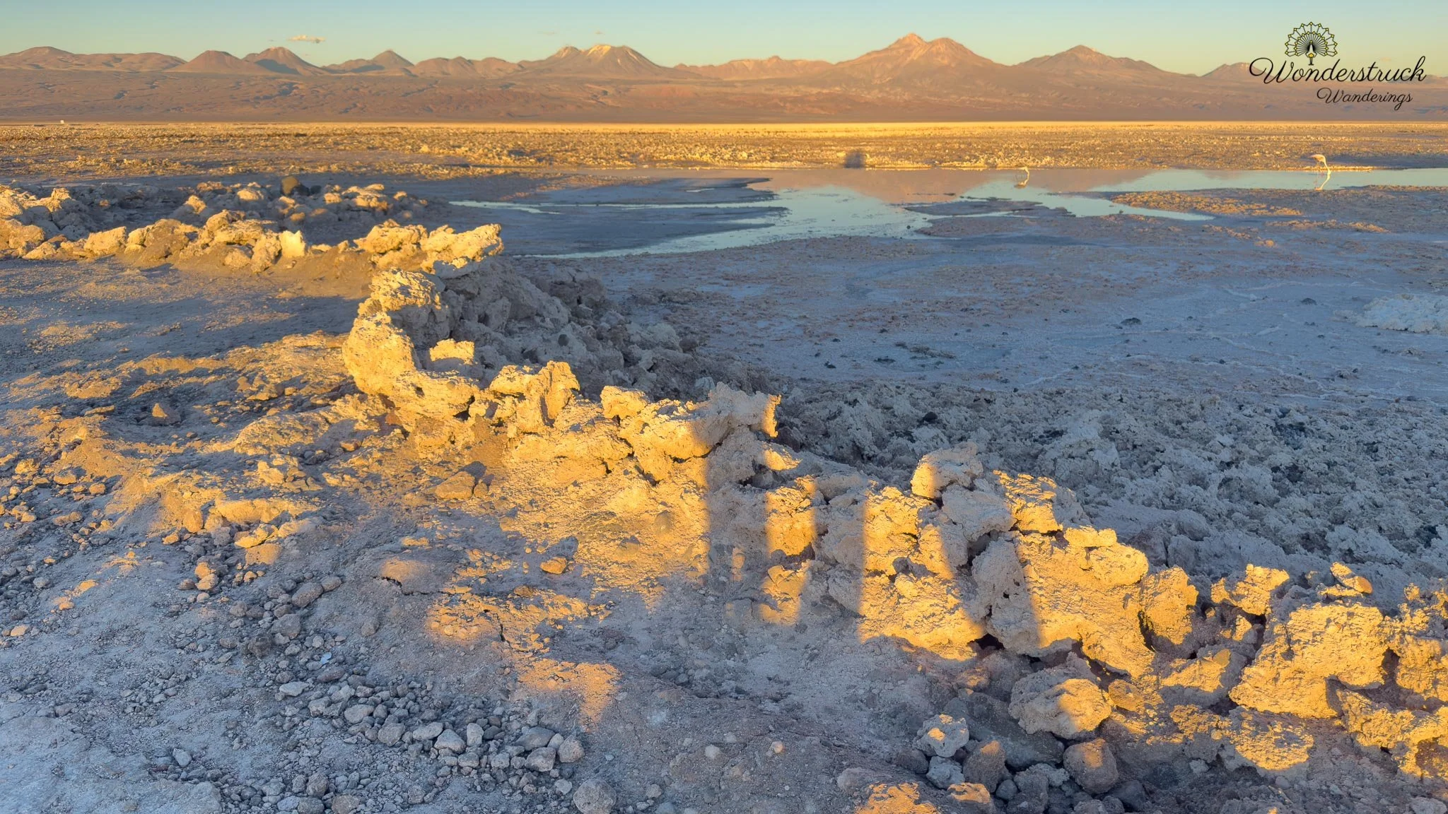
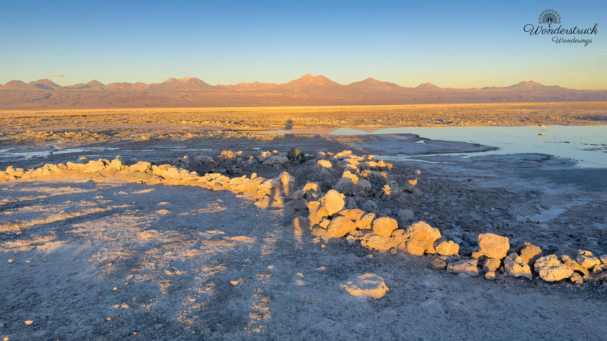
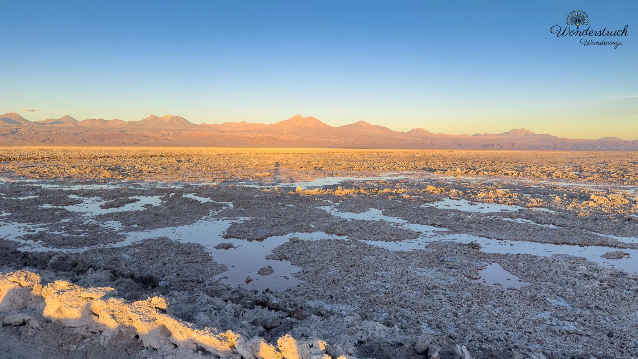
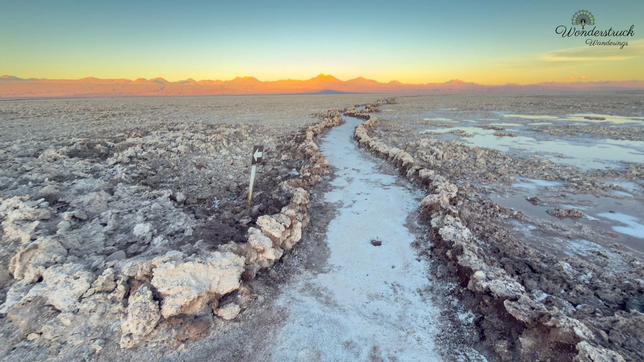
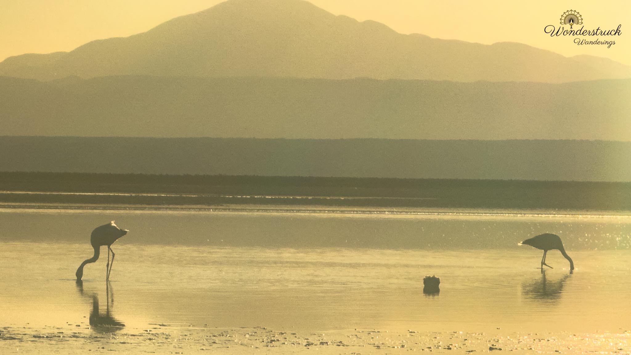
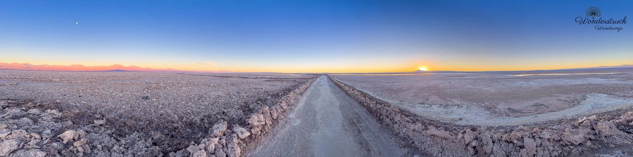
That was the rant running through our head. But once we entered Chaxa, the frustration softened because the place was still beautiful. The big flock of flamingos was congregating in a farther lagoon, which was disappointing at first, but there were still a few birds on either side of the walkway, giving us plenty of photo opportunities. Every now and then, a flamingo would fly from the left toward the larger flock, and that gave us chances for flight shots. A few flamingos lingered to the west side, where the sun was dropping behind the mountains, creating the silhouettes we had hoped for. As the sun sank lower, the western sky and reflecting water turned gold. One flamingo stood feeding in the glowing water, its shape clean and dark against the light. This was the shot we had come back for: not just a bird portrait, but a bird inside the whole atmosphere of the Atacama evening. On the eastern side, the mountains were turning pink and orange, contrasting with the white crystalline salt in the foreground. It was an amazing sight, and we wished we could simply stay, sit quietly, and watch the scene unfold fully. But this was exactly when the staff began moving us along. Again, I do not blame them personally. They had regulations to follow. Still, it felt sad to be pushed out of such a beautiful moment.
Fernando Alfaro, Ceramica Amerindio, and Dinner at Almas
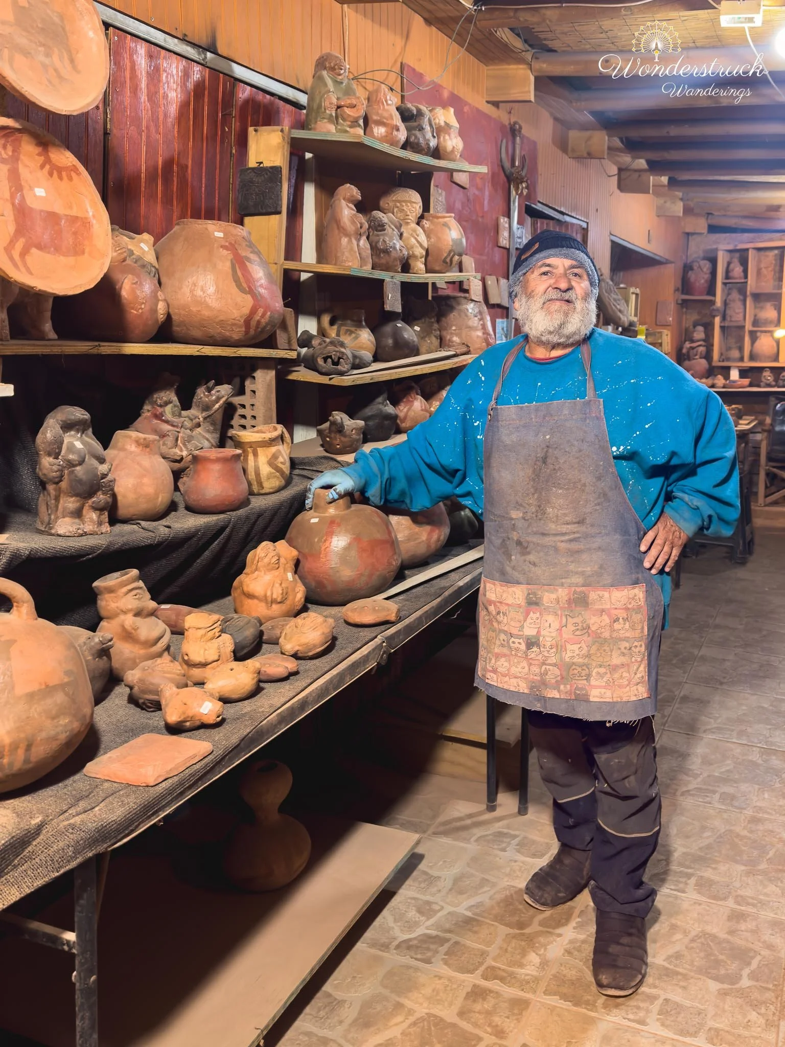
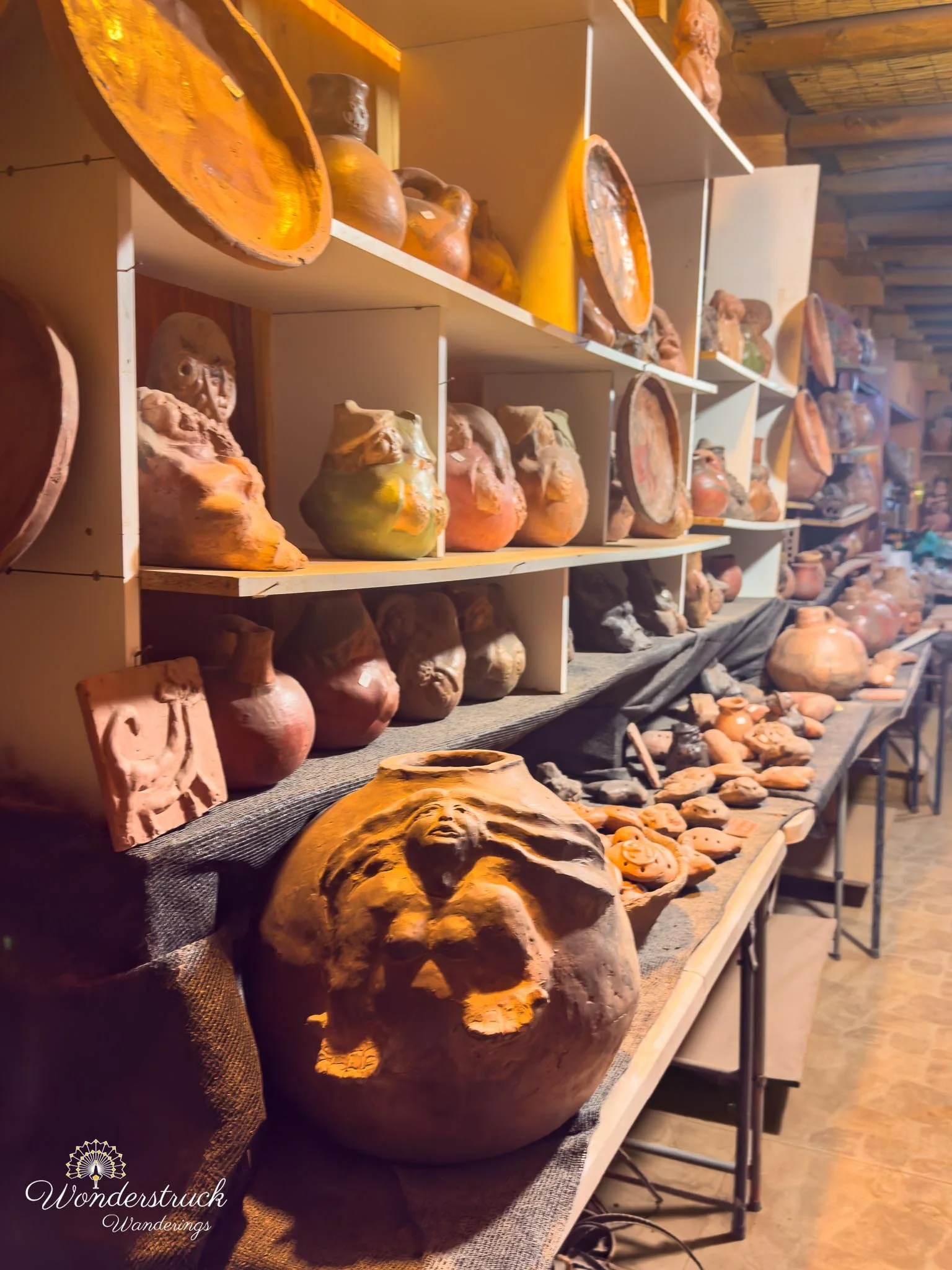
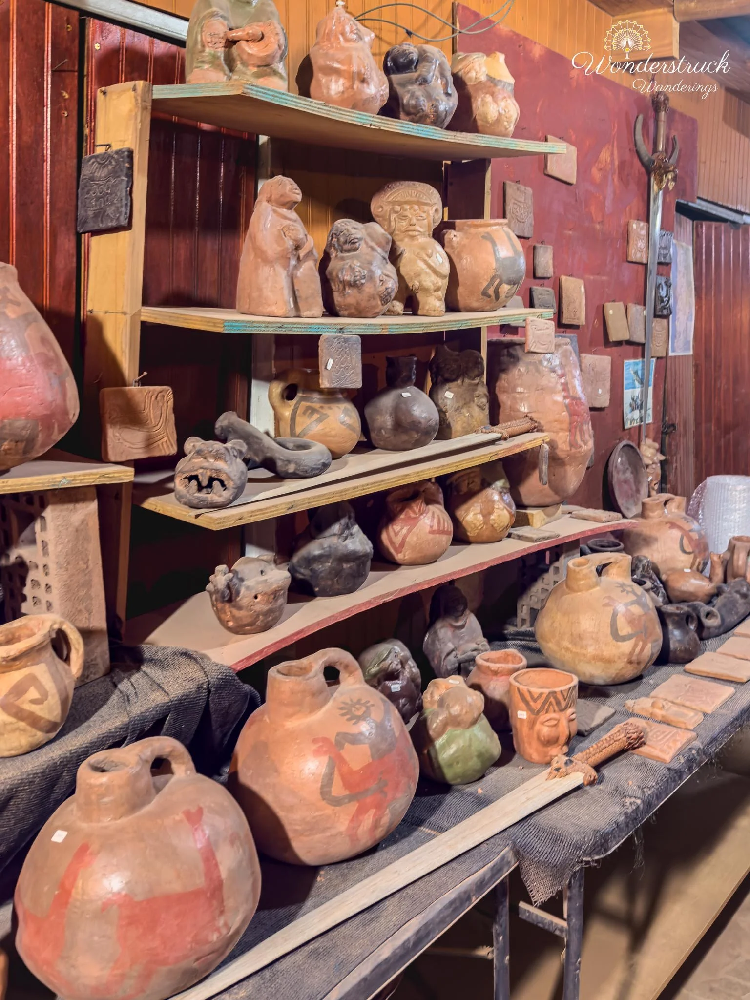
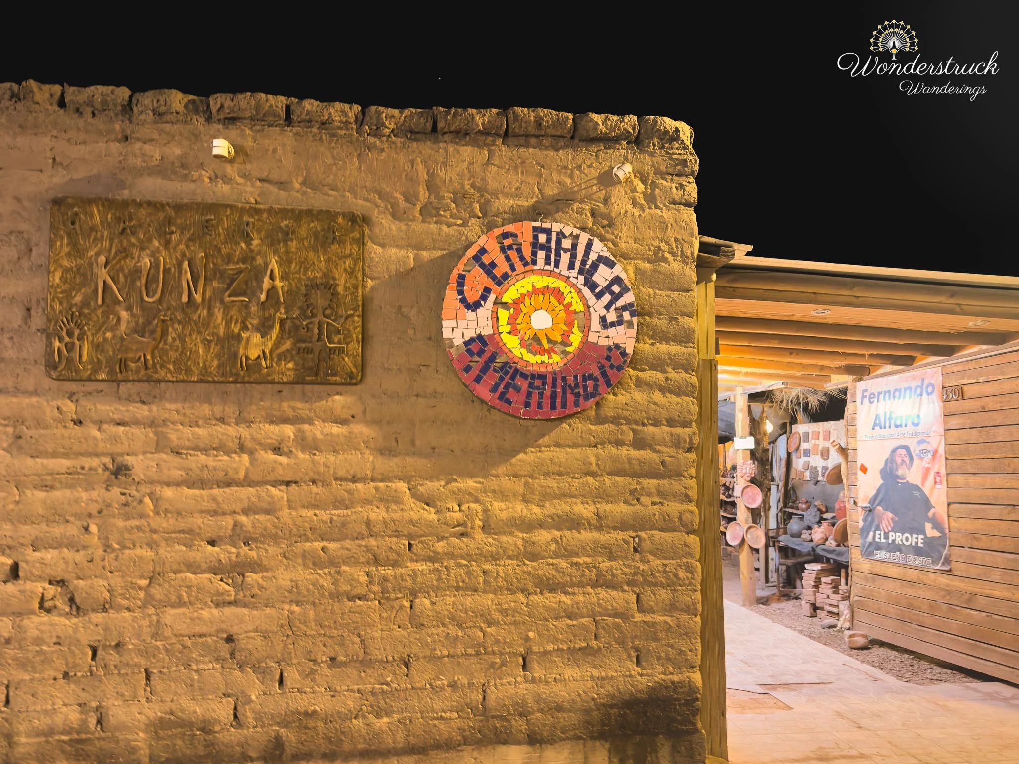
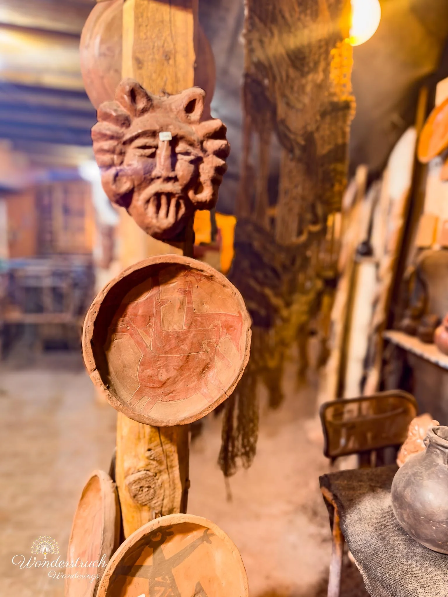
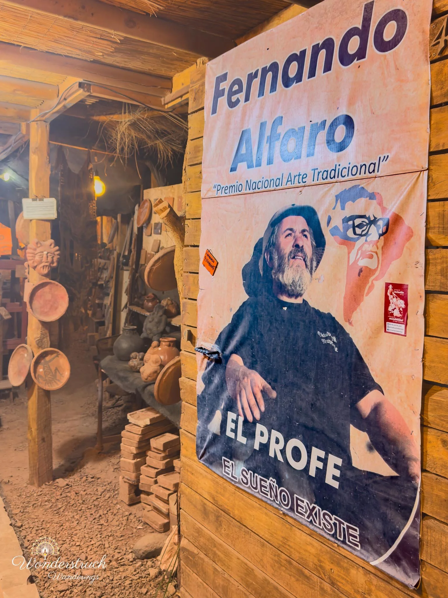
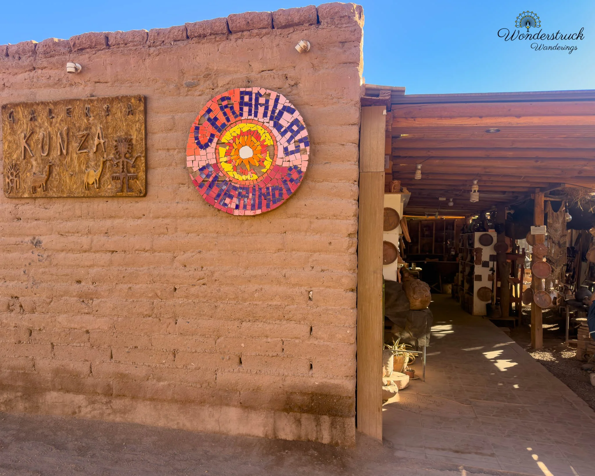
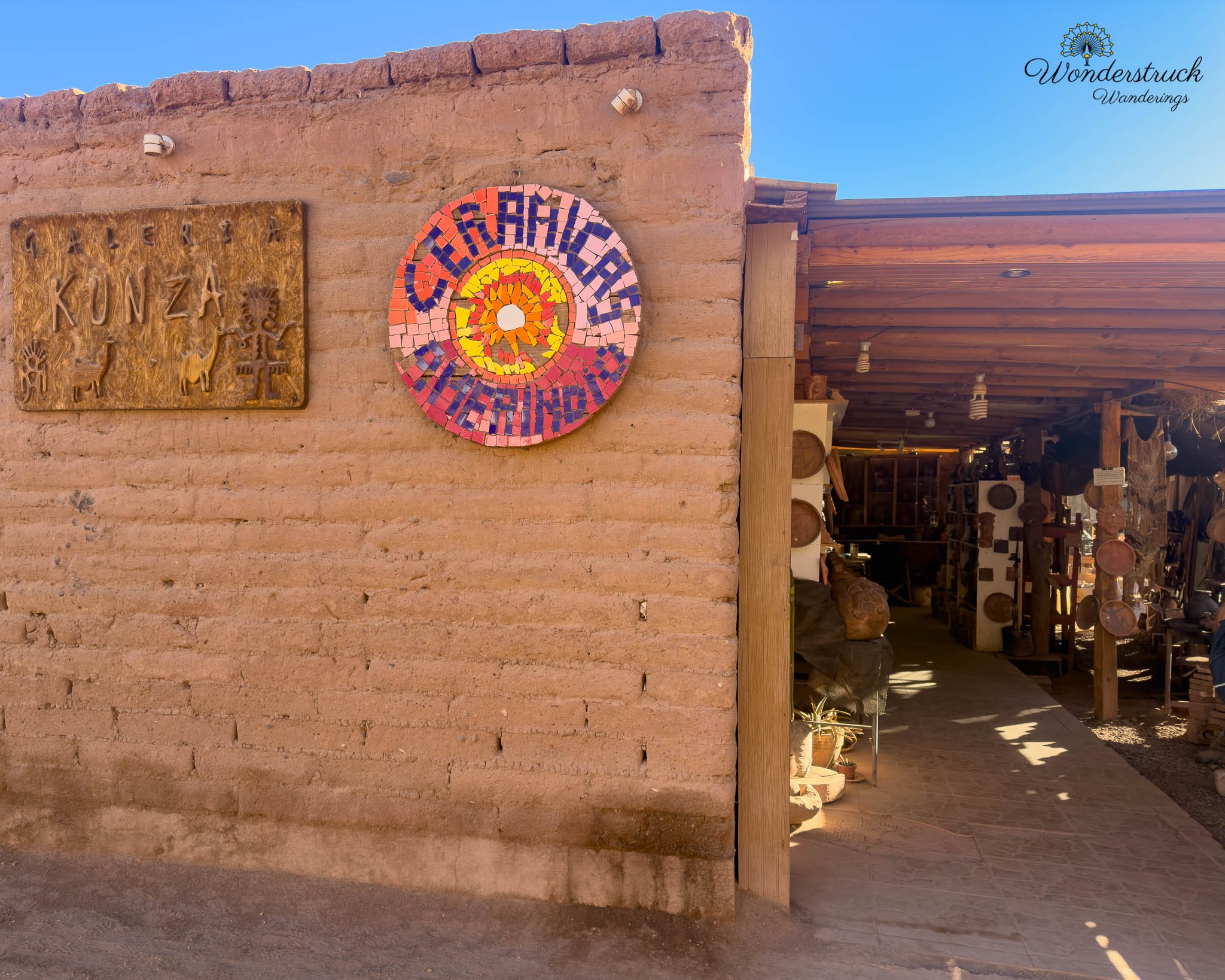
Before returning to the hotel, we stopped at the workshop of Fernando Alfaro Barahona, a well-known ceramic artist whose Taller de Cerámica Amerindio / Galería Kunza sits on Calama Street in San Pedro de Atacama. We had already seen his work at Our Habitas, where several large clay vessels he created had been incorporated into the hotel’s design, so we wanted to see where they came from. Alfaro has been working with clay for decades. Trained as an art teacher at the University of Chile, he has been a potter since 1975 and has exhibited his work at craft fairs throughout Chile as well as internationally in the United States, South Africa, Spain, France, and Argentina. In 2016, Chile’s Ministry of Culture recognized his career with the Premio a la Trayectoria en Cultura Tradicional Margot Loyola Palacios, awarding him in the Formación category for his contribution to teaching and preserving traditional culture. His ceramics are closely tied to the Atacama rather than being generic souvenir pottery. Alfaro works with forms and decorative elements inspired by the region’s pre-Hispanic and Indigenous traditions, including symbols similar to those found in the rock art around San Pedro. That connection became much easier to understand standing inside the workshop, surrounded by vessels, figures, and sculptural pieces in the same earthy tones we had been seeing throughout the desert. He has also been involved in efforts to keep Lickan Antay ceramic traditions alive through teaching and cultural projects, reinforcing the link between contemporary pottery and the much older ceramic history of the Atacama. Fernando’s generosity made the stop even more memorable. Parking around central San Pedro can be difficult, and he kindly let us pull our car into his garage so we would not risk getting a ticket while we looked around. He told us he had not been making as many pots recently, so we spent some time going through what remained in the shop and found several pieces we loved. We ended up buying quite a few to bring home. These are the souvenirs that matter most to us—not something mass-produced with Atacama stamped on it, but pieces made by an artist who has spent decades interpreting the desert through clay. Now, when we see Fernando’s pottery at home, it connects back not only to San Pedro, but also to meeting him in his workshop, talking about his work, and seeing firsthand where those pieces were created.
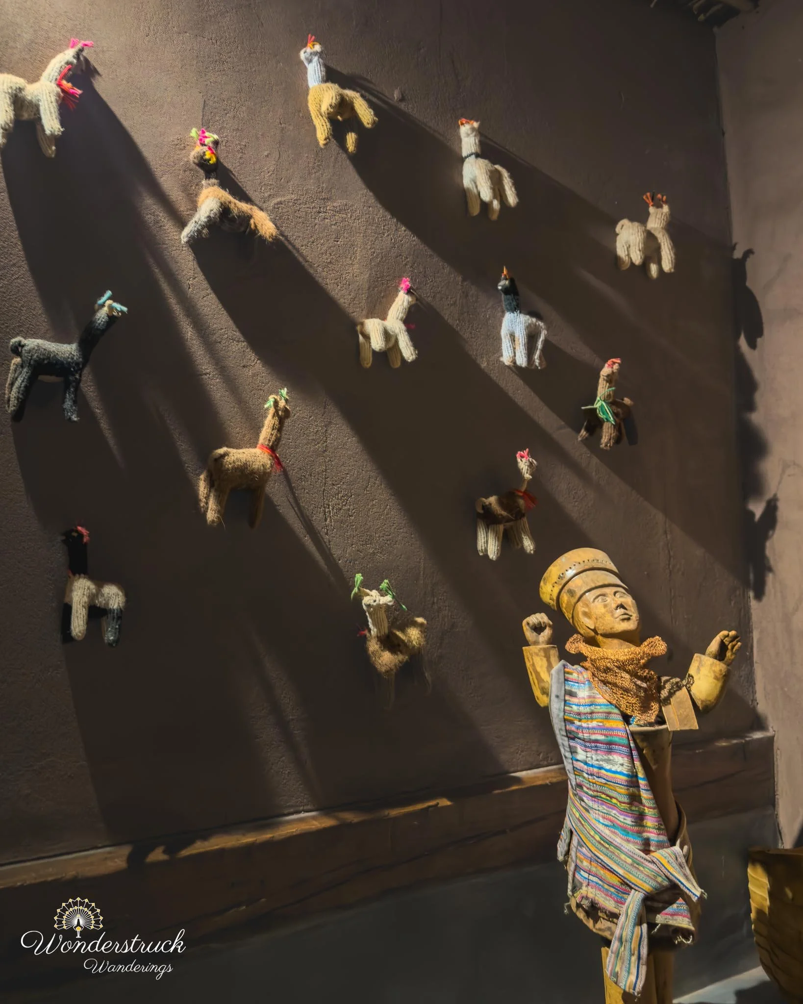
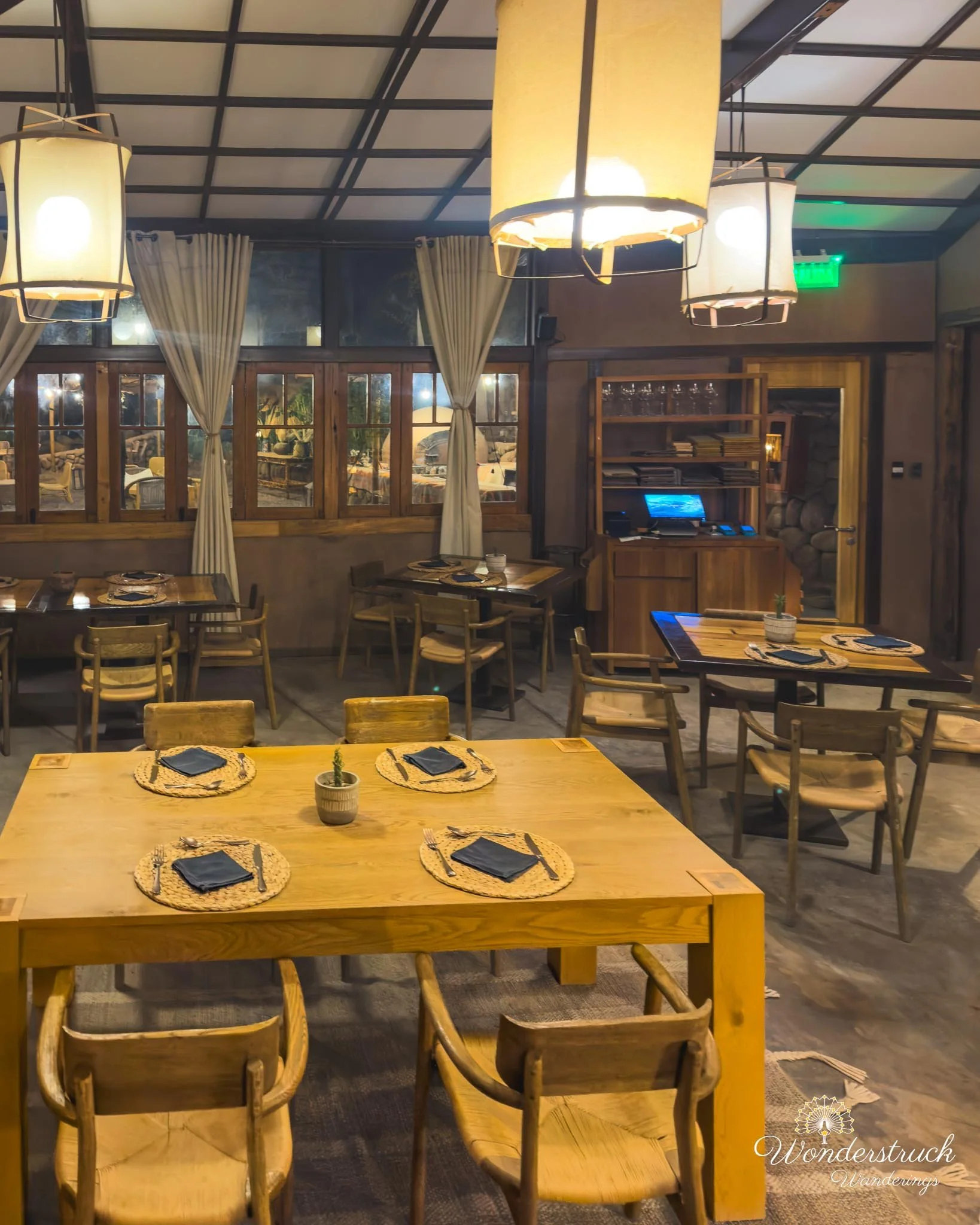
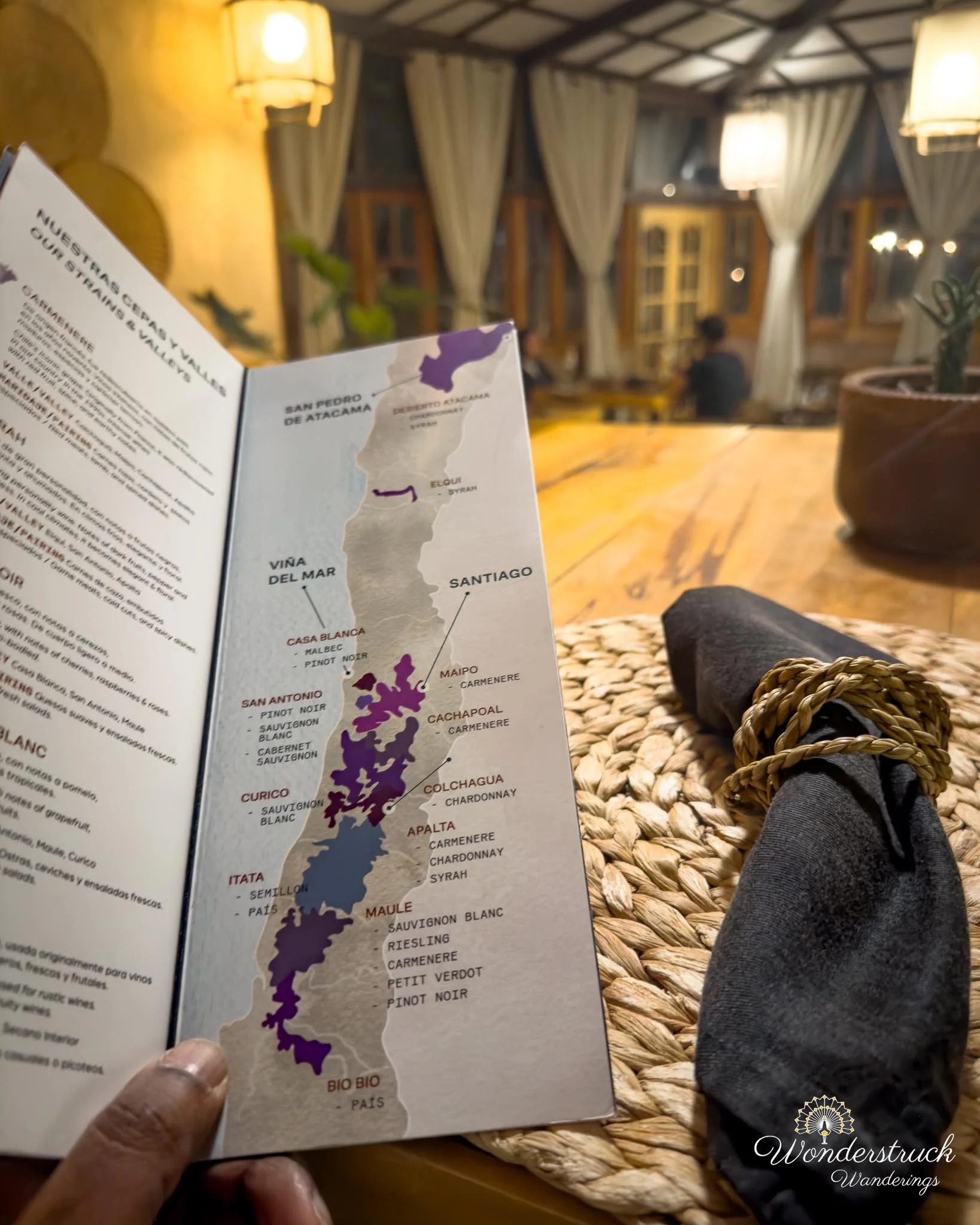
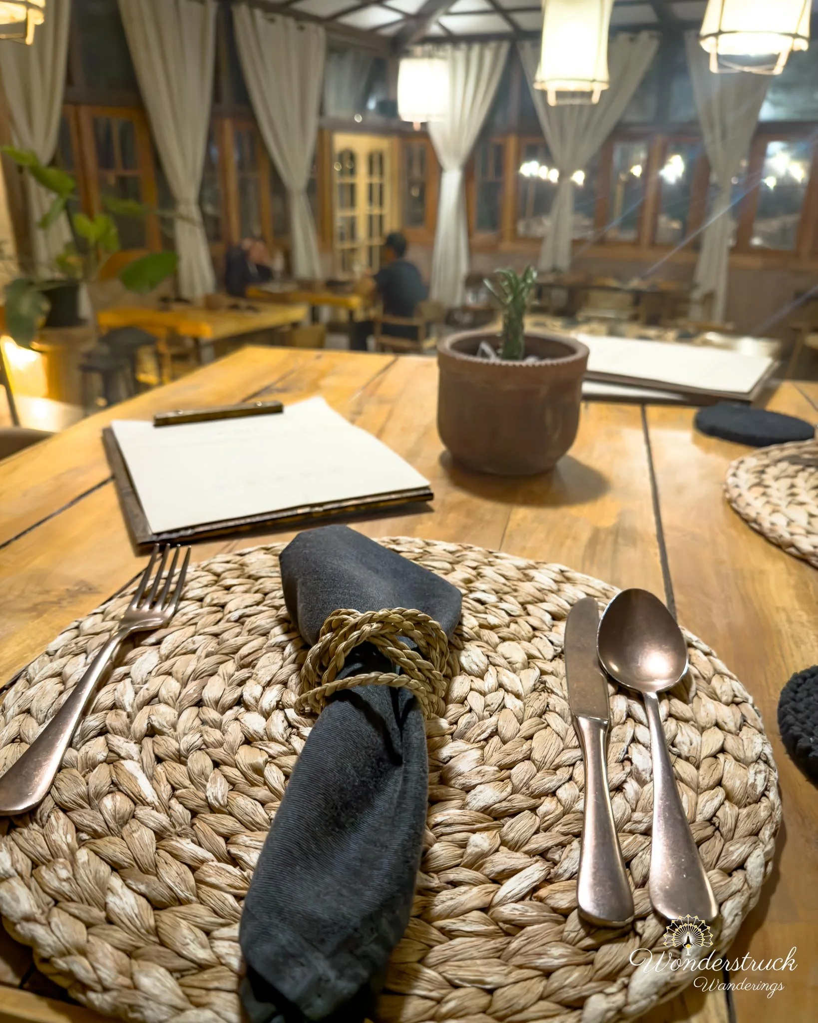
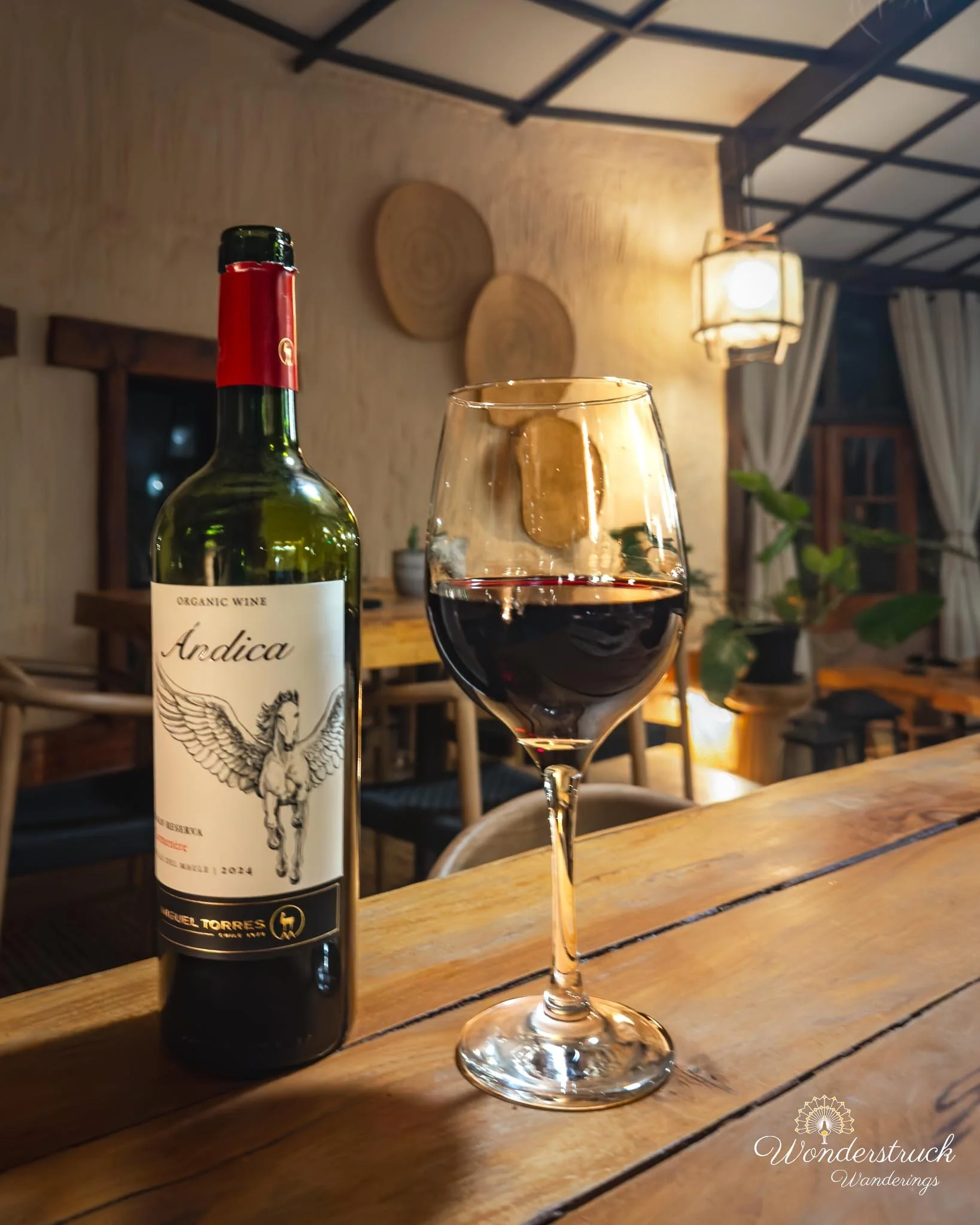
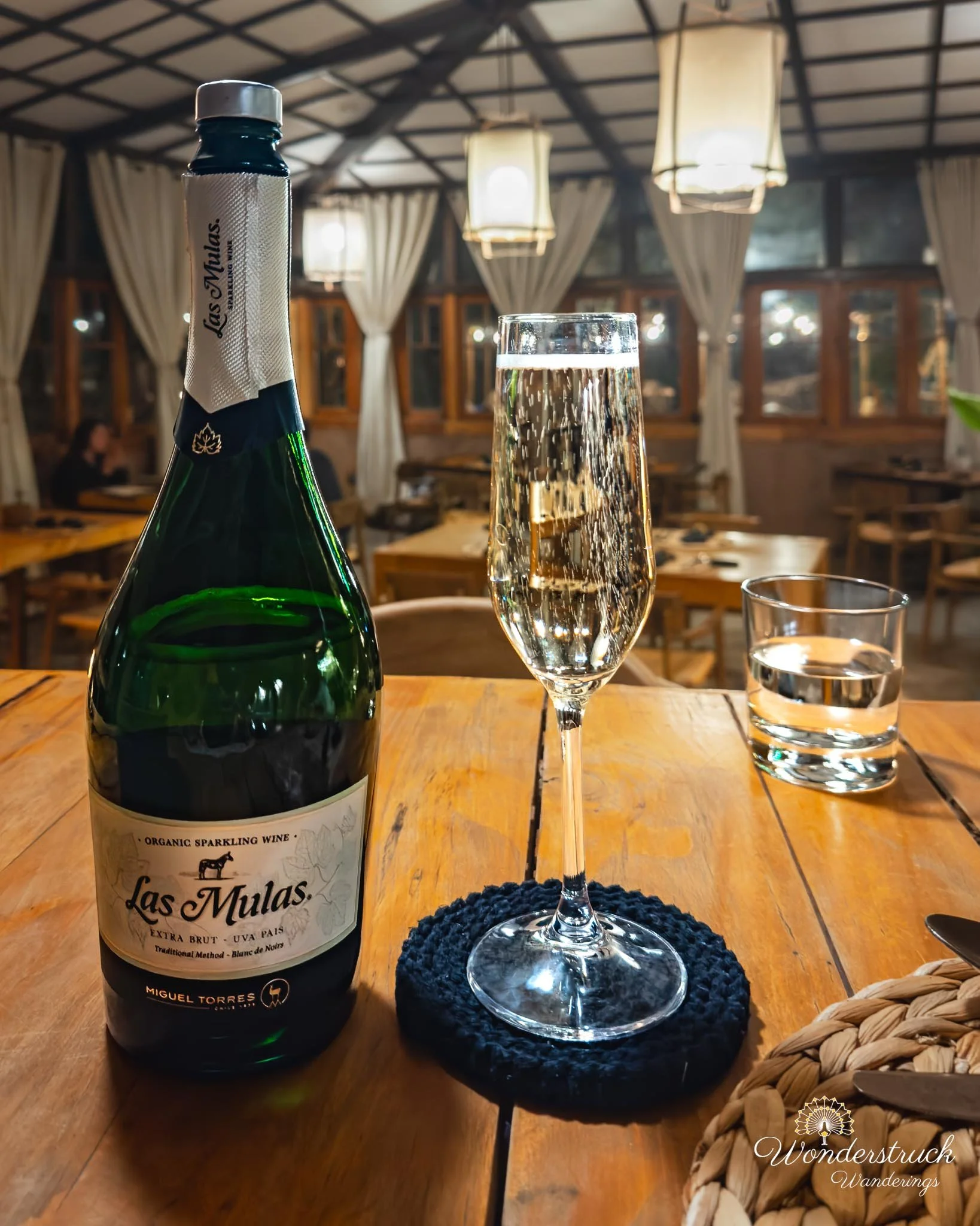
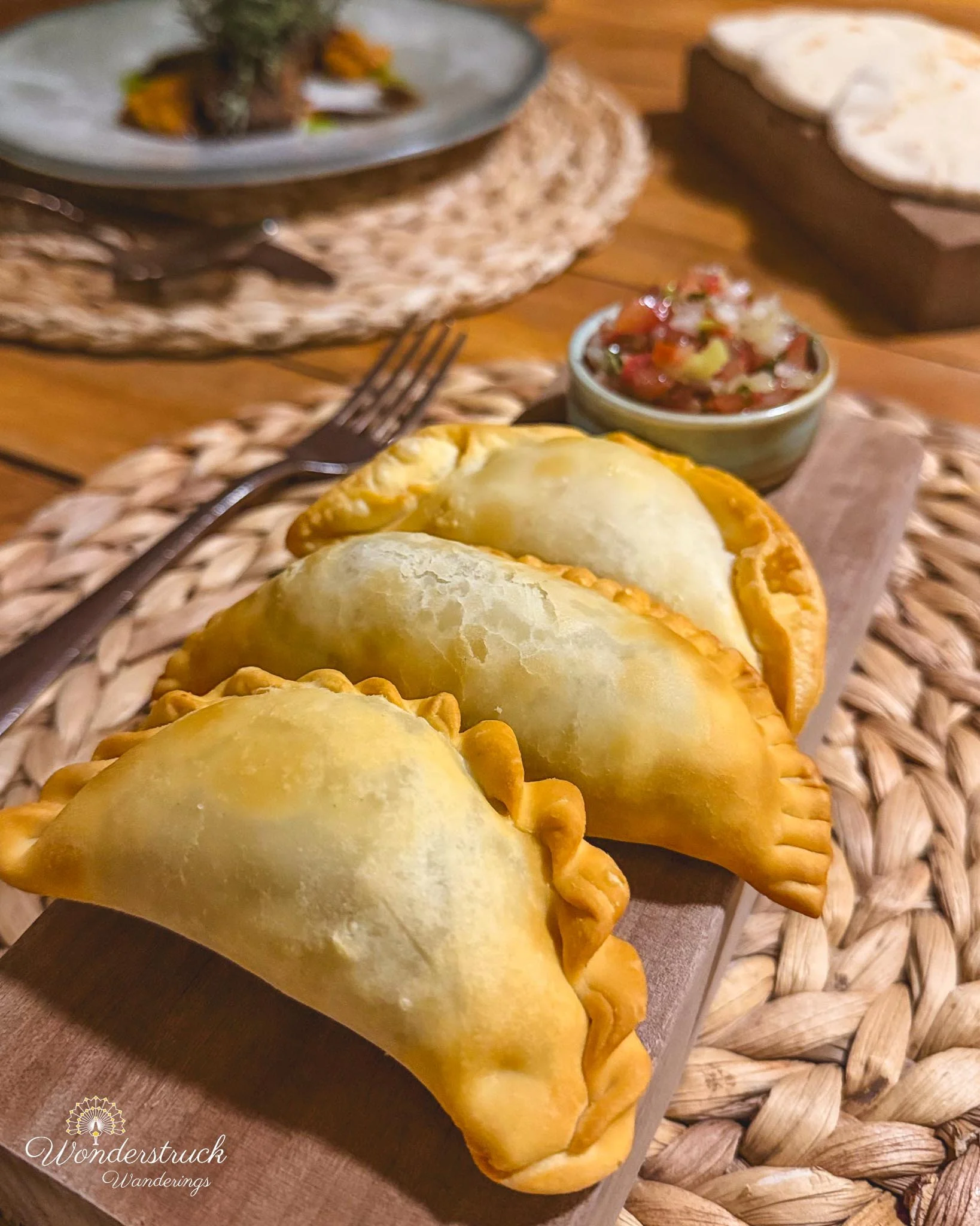
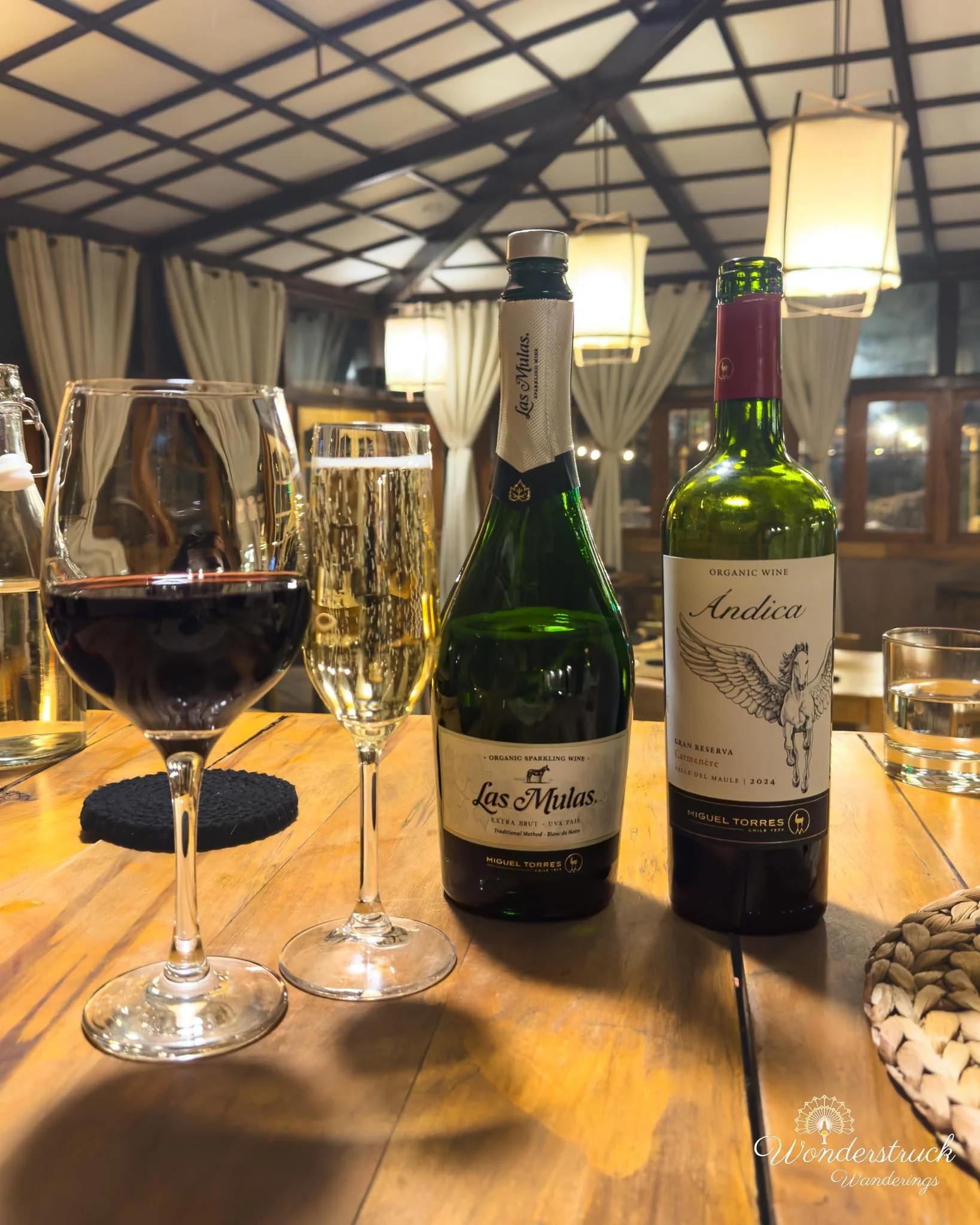
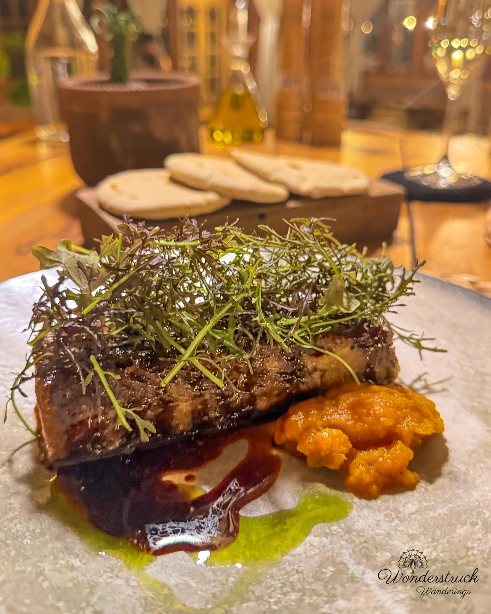
Back at Our Habitas, we had dinner at Almas, the hotel restaurant. I ordered the terrina de pernil, a pork terrine-style dish with rich, slow-cooked pork flavor and a firmer terrine texture. It was the heavier, more savory choice of the night, the kind of dish that worked well after a day of driving, walking, and being out in the desert wind. Shay ordered the empanadas del fogón, which came with that satisfying wood-fired, rustic feel—warm pastry, savory filling, and enough substance to count as dinner without needing much else. For wine, we tried the Antica Carmenere. It was drinkable, but it did not have the same depth or character as the Valle Secreto Carmenere Shay had loved earlier in the trip. That Valle Secreto bottle had stayed in her memory, so every Carmenere after that was getting compared to it. The Antica felt simpler and less expressive, fine with dinner but not a standout. Shay also tried Las Mulas País sparkling, which she enjoyed much more. The País grape gave it a lighter, brighter feel, and as a sparkling wine it worked better at the end of a long desert day than another heavier red. We were too full for dessert, so we skipped it. After dinner, we packed, showered, and got ready for the next morning. Day 6 had been our slower Atacama day.