Sunrise at Laguna Chaxa
We woke up early again, around 5 a.m., and drove toward Laguna Chaxa in the dark. By this point, early mornings had become part of the Atacama rhythm. The best light, the best bird activity, and the best chance of seeing the desert before the tour traffic all seemed to happen when our bodies would rather still be asleep. After El Tatio the previous day, we were already tired, but Laguna Chaxa was one of the places we had been most excited about for birds, especially flamingos and other high-Andean wetland species. Laguna Chaxa sits inside the Salar de Atacama, roughly 50 to 55 kilometers south of San Pedro de Atacama, near the small oasis town of Toconao. The drive usually takes about 45 minutes to an hour, depending on how slowly you take the darker sections and the final approach roads. From San Pedro, the route first follows the main road south through the open desert, with the shape of Licancabur and the surrounding volcanoes fading behind you as you move toward the salt-flat basin. In daylight, this is a wide, exposed drive through one of the driest landscapes in the world; before sunrise, it feels even larger because so much of the scenery is only suggested by shadow. For the first part of the drive, the road was quiet and mostly dark. There were very few headlights, almost no signs of movement, and that huge Atacama stillness all around us. As we moved south and west toward the Salar de Atacama, the sky slowly started losing its blackness. The mountains appeared first as silhouettes, then as faint shapes against the brightening horizon. The desert floor began to separate from the sky, and the salt-flat basin gradually took form in layers: dark foreground, pale horizon, distant ridges, and then the low, flat expanse of the salar. This was one of those Atacama drives where you do not fully see the landscape at first, but you feel its scale. The emptiness is not blank; it is massive. Even before reaching the reserve, the road gives you the sense that you are entering a different part of the desert. San Pedro sits in the dry basin near the Cordillera de la Sal, but Laguna Chaxa belongs to the salt flat itself—a harsher, brighter, more mineral world of crusted ground, shallow lagoons, flamingos, and open sky.
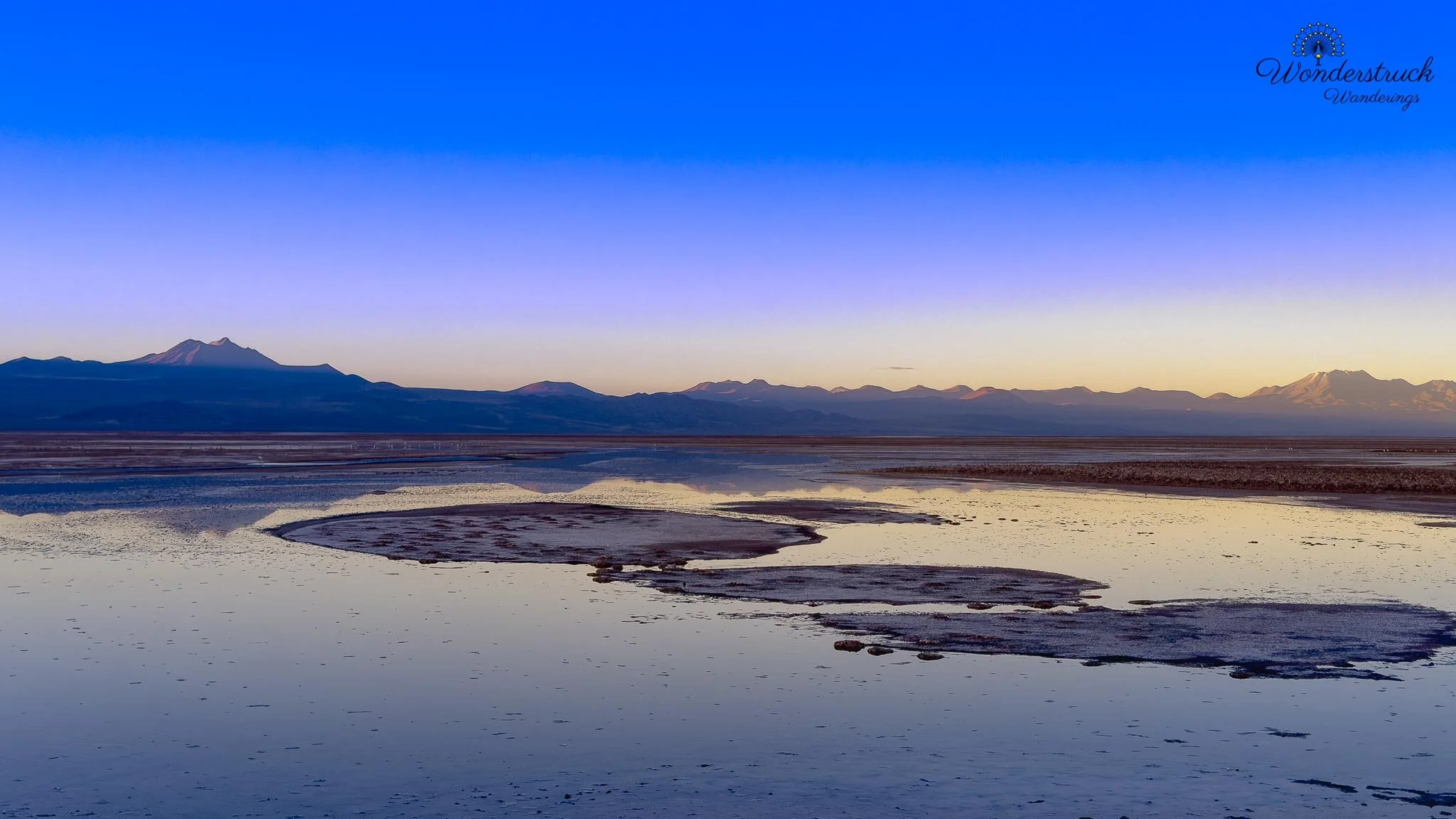
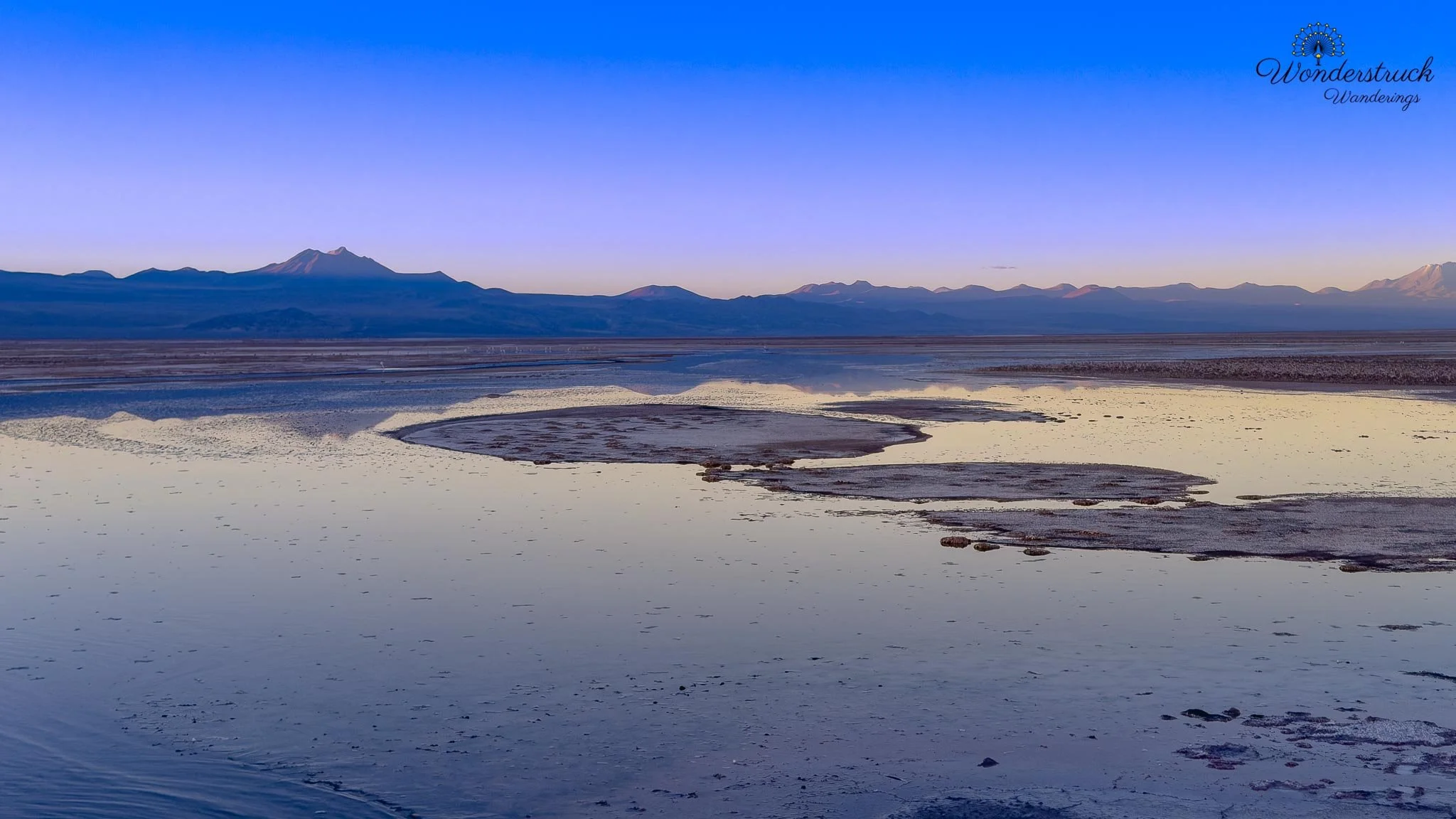
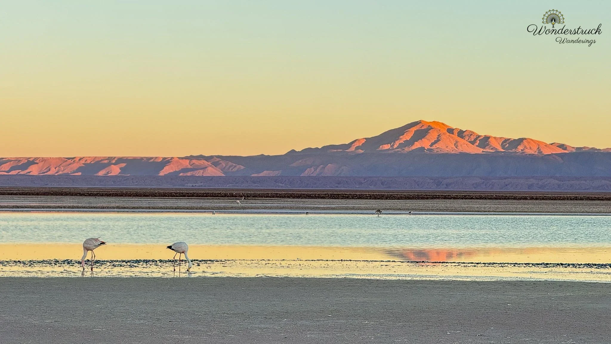
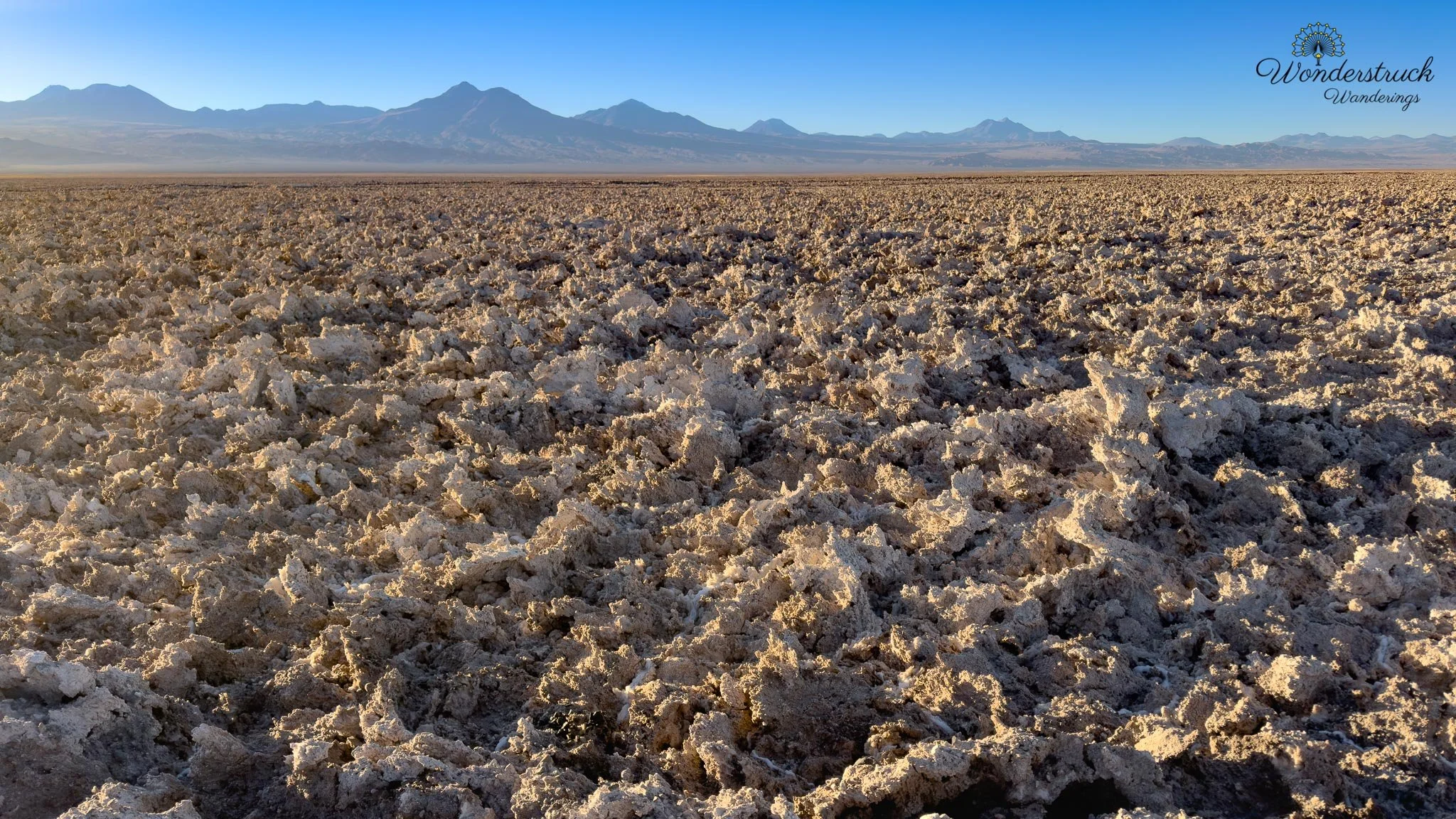
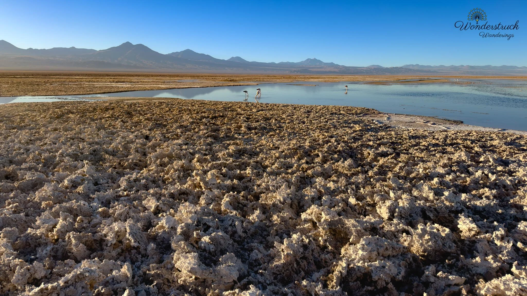
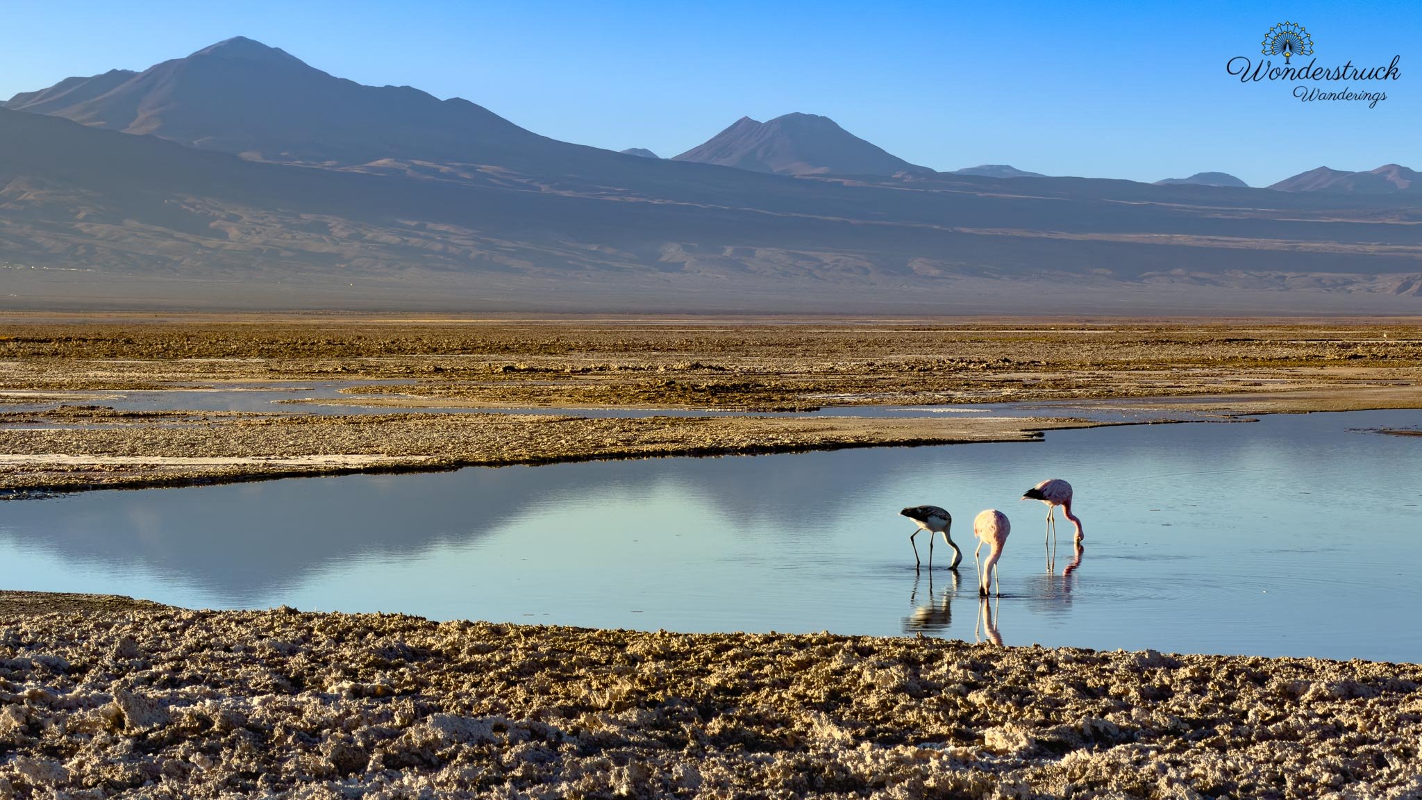
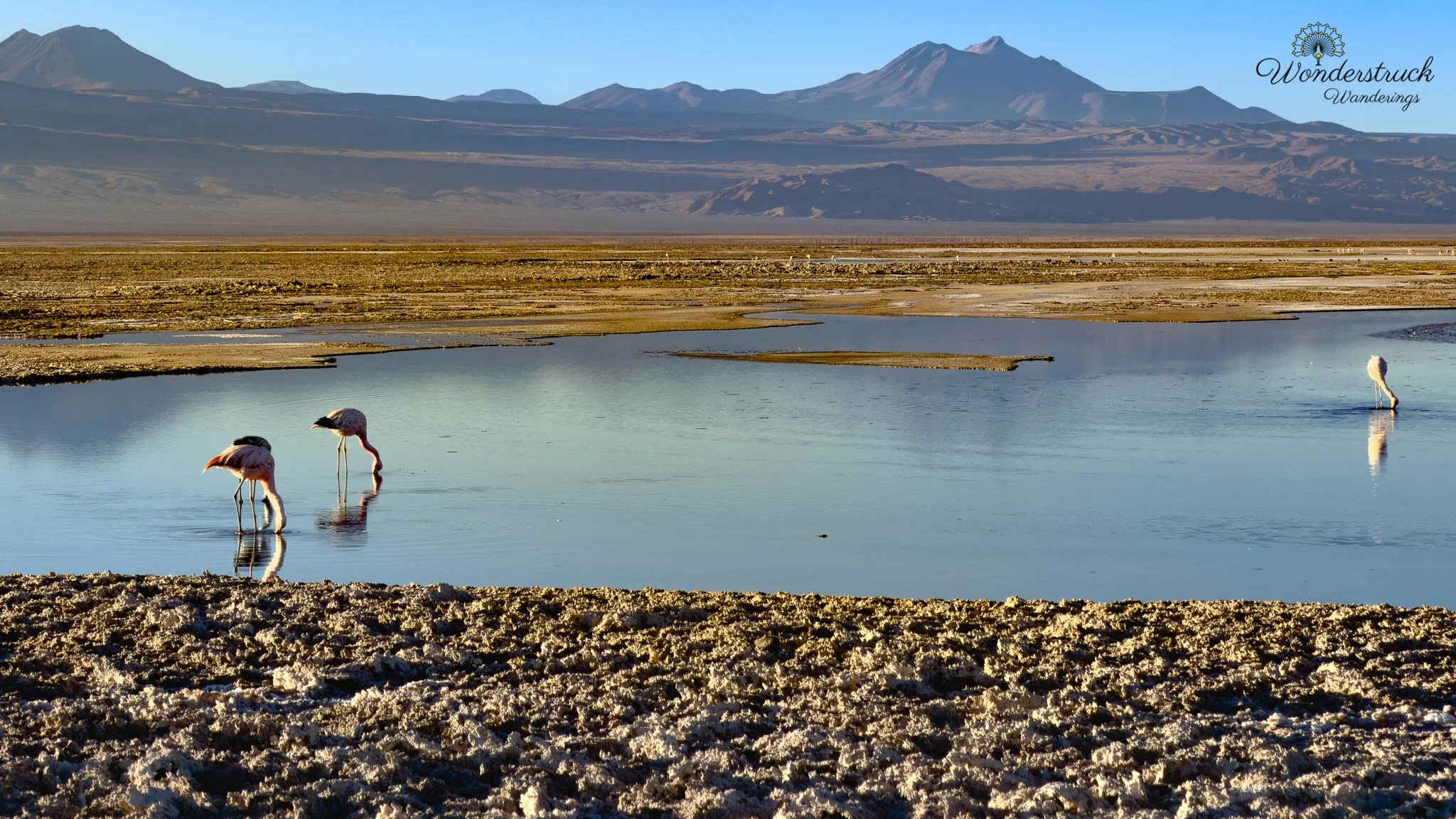
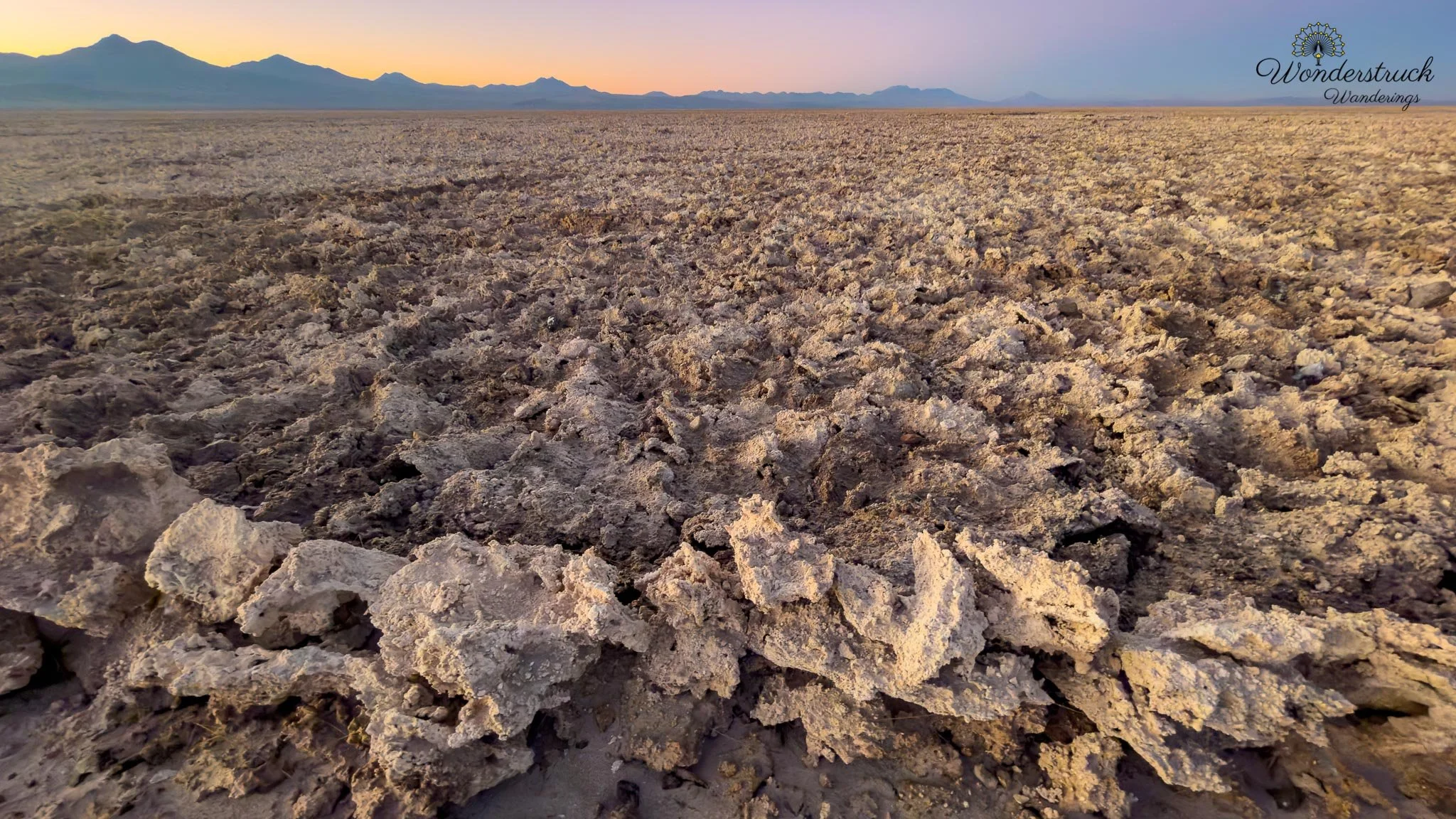
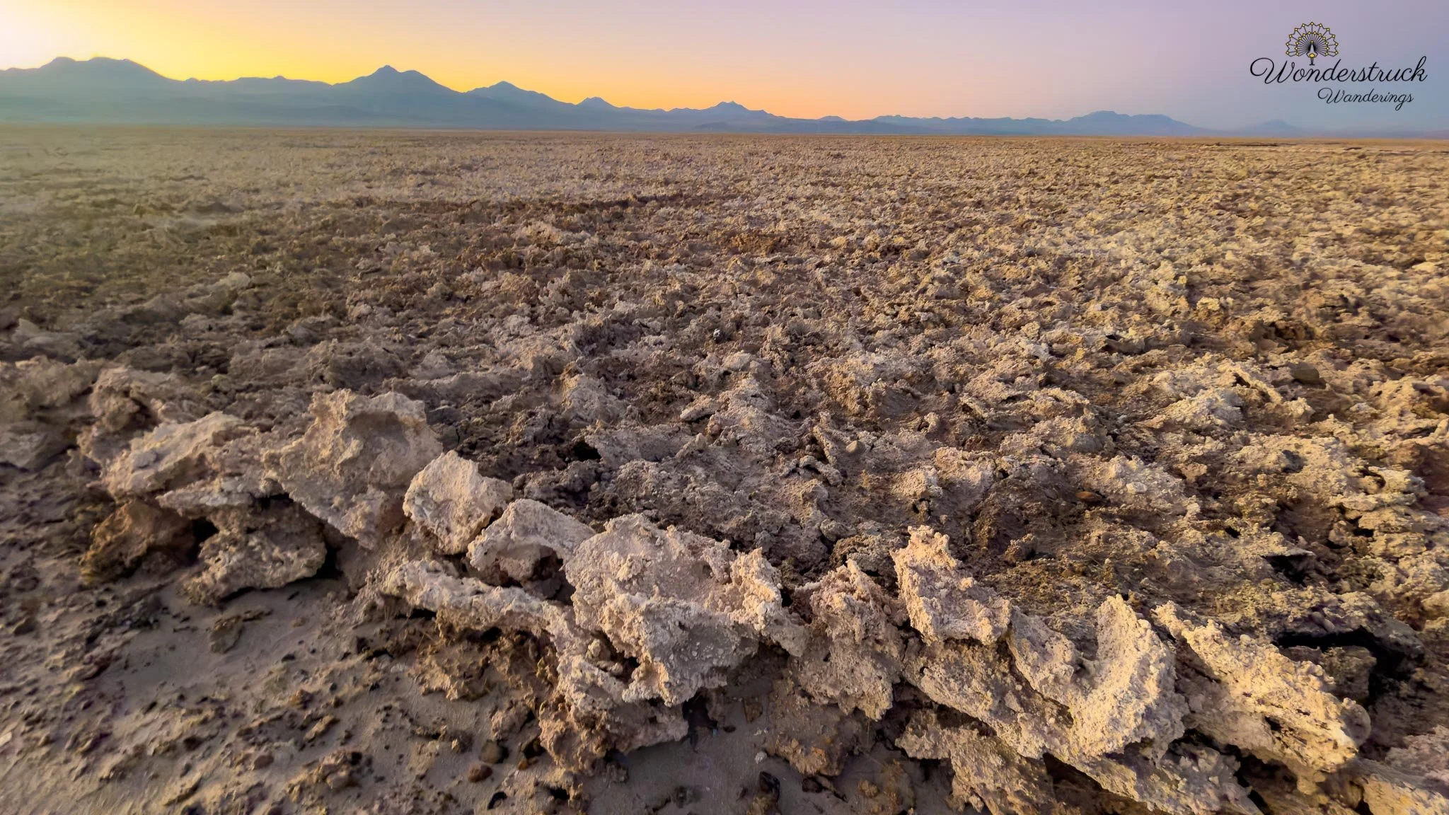
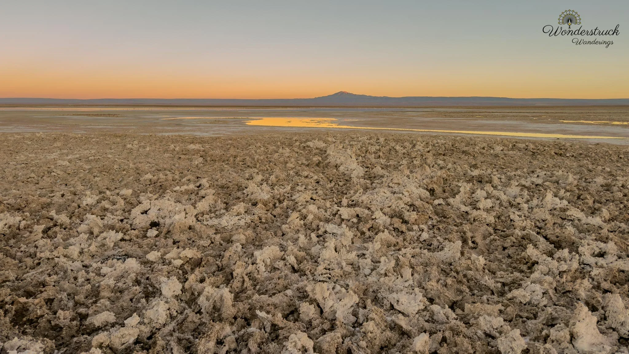
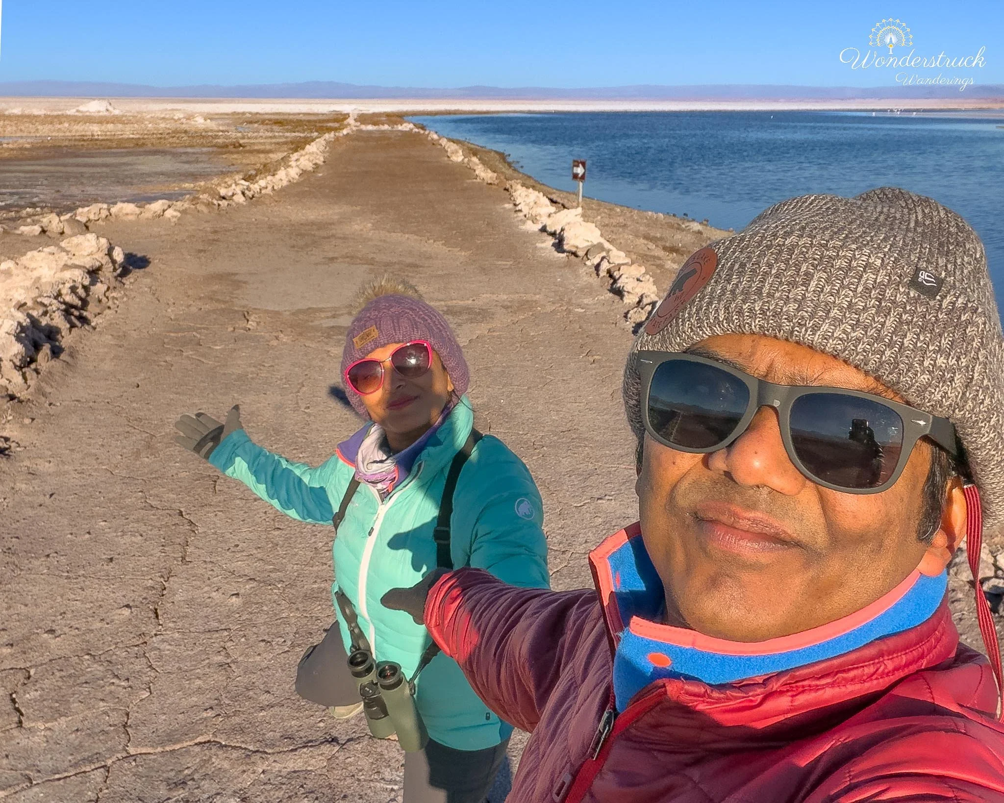
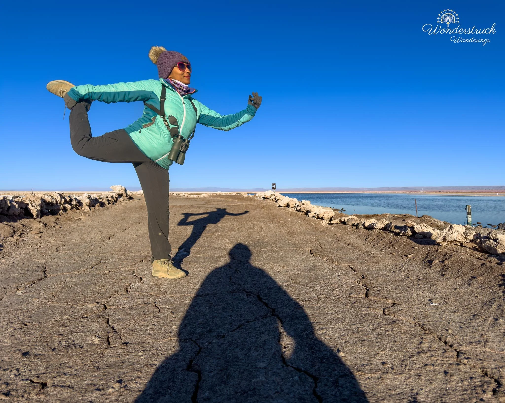
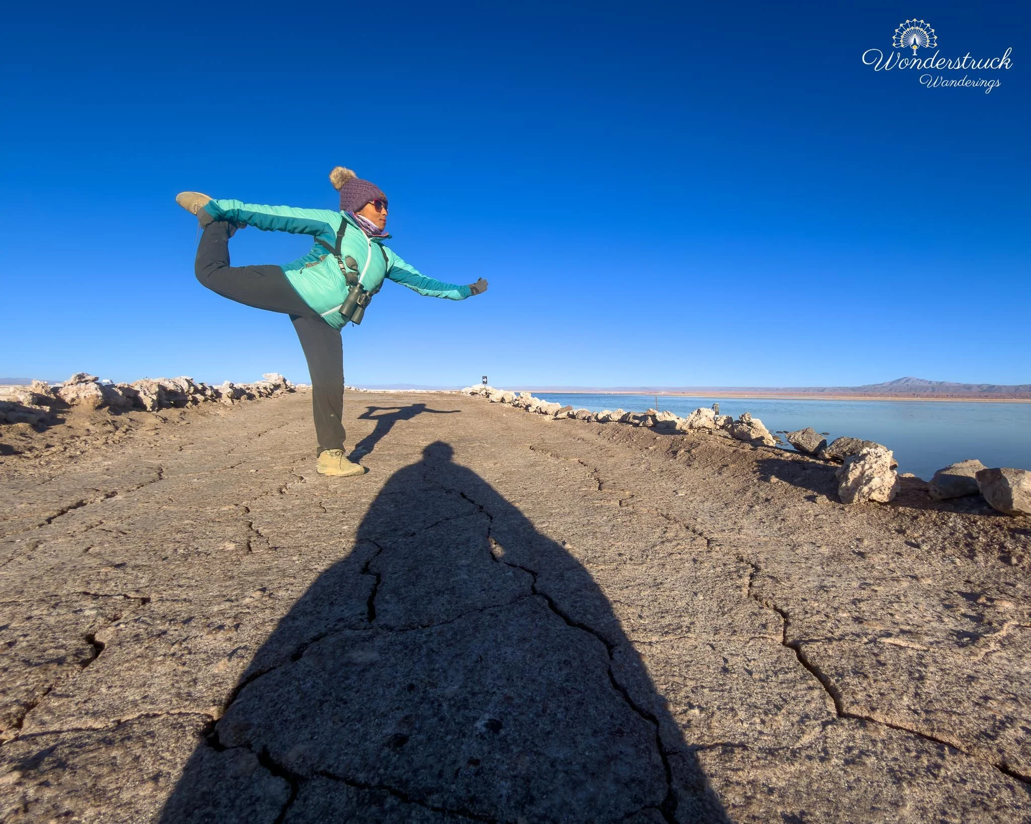
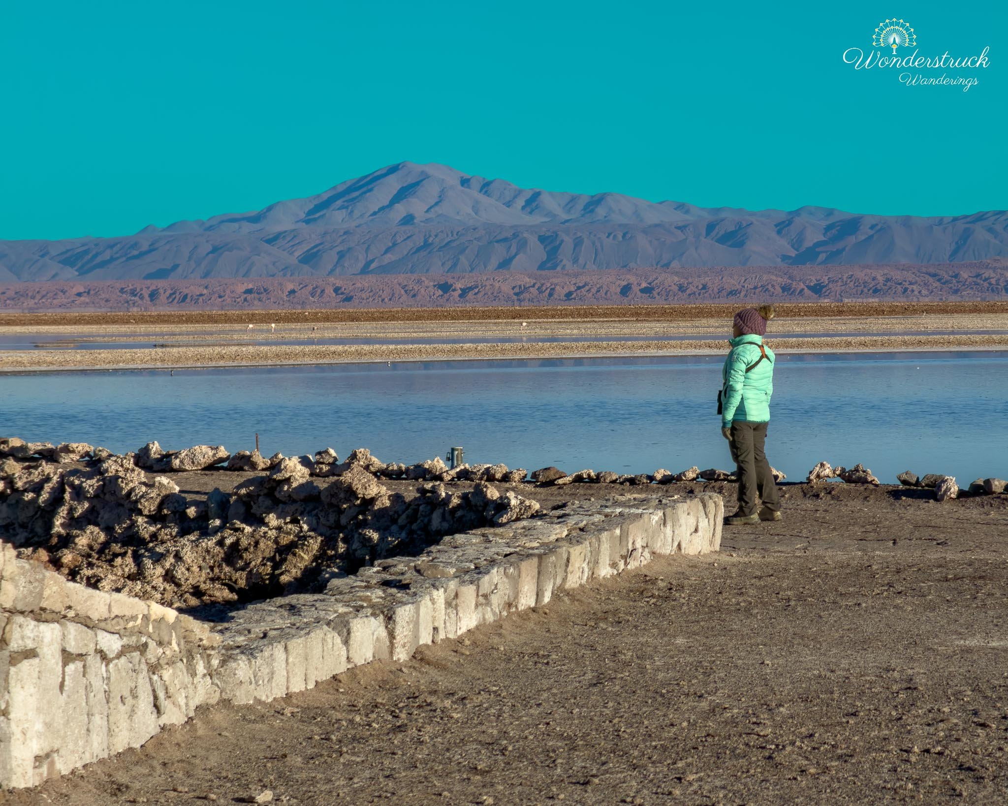
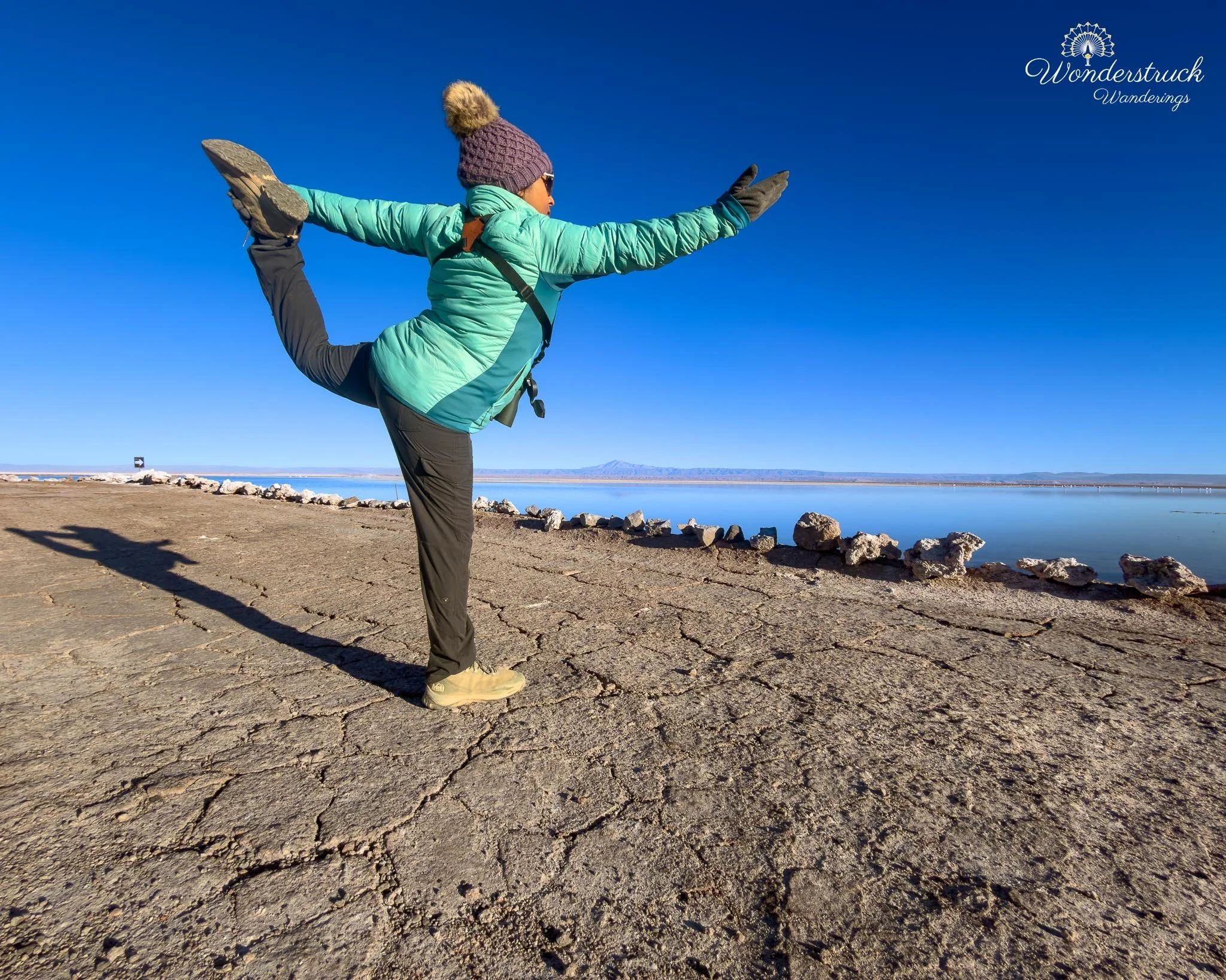
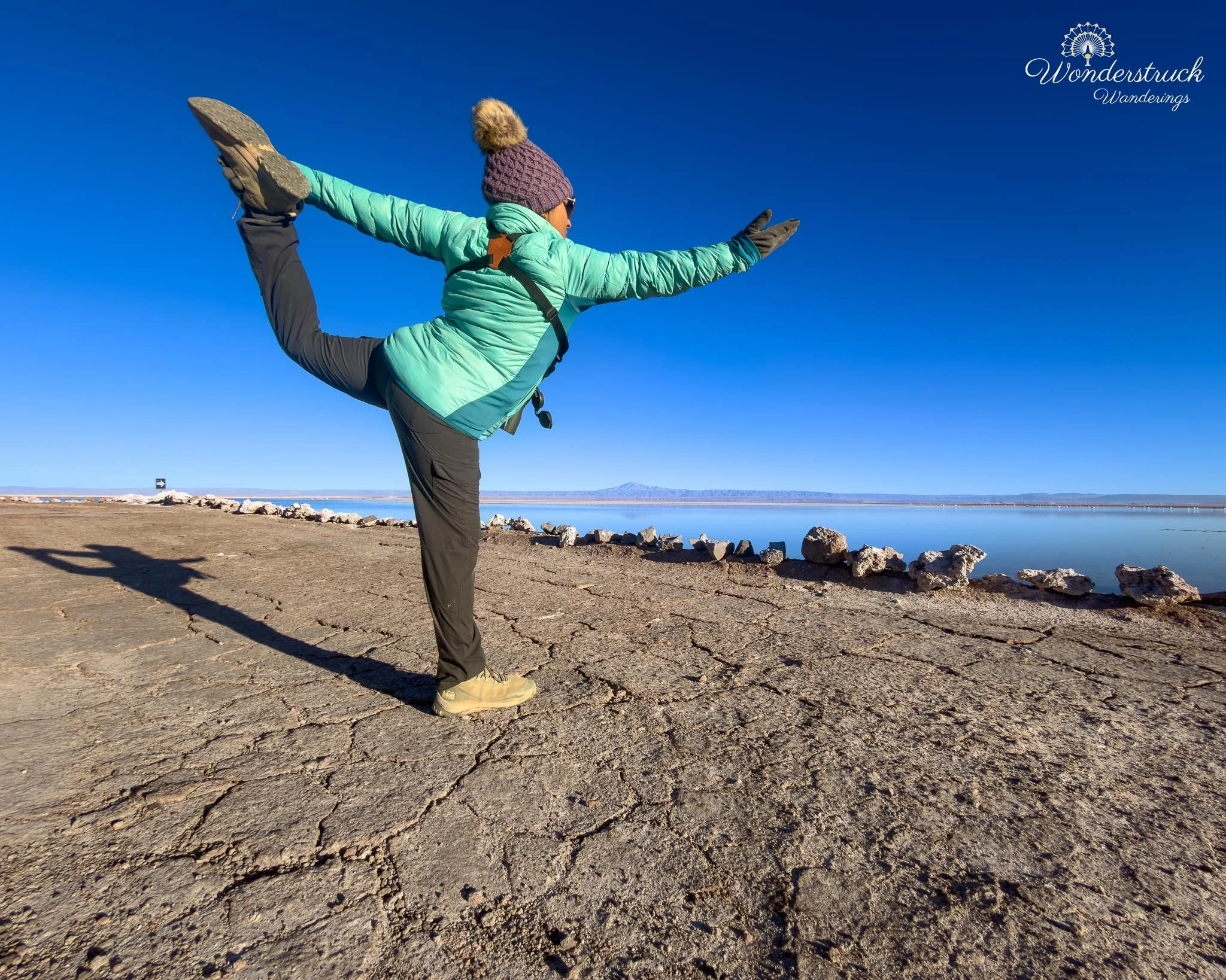
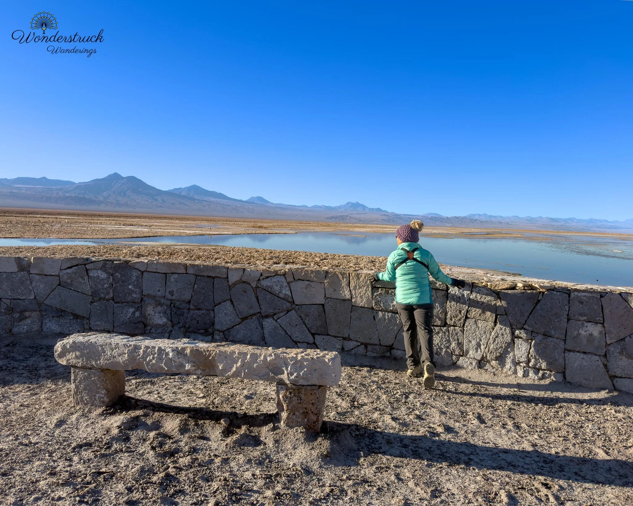
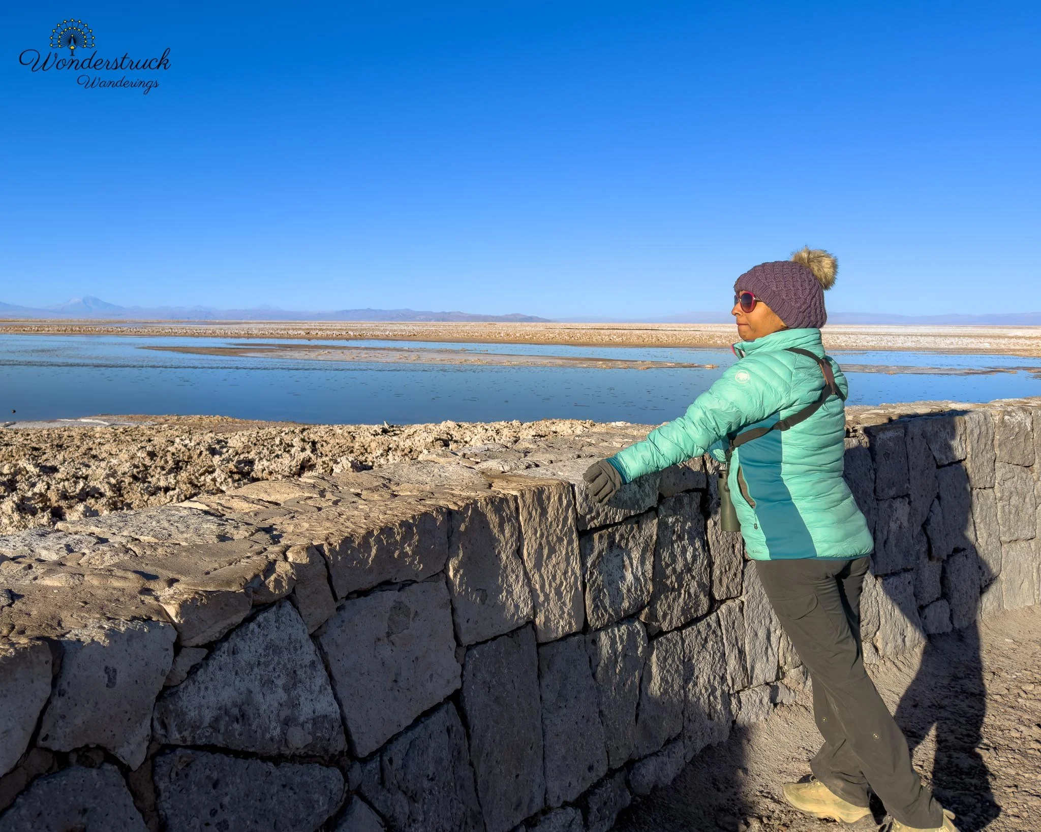
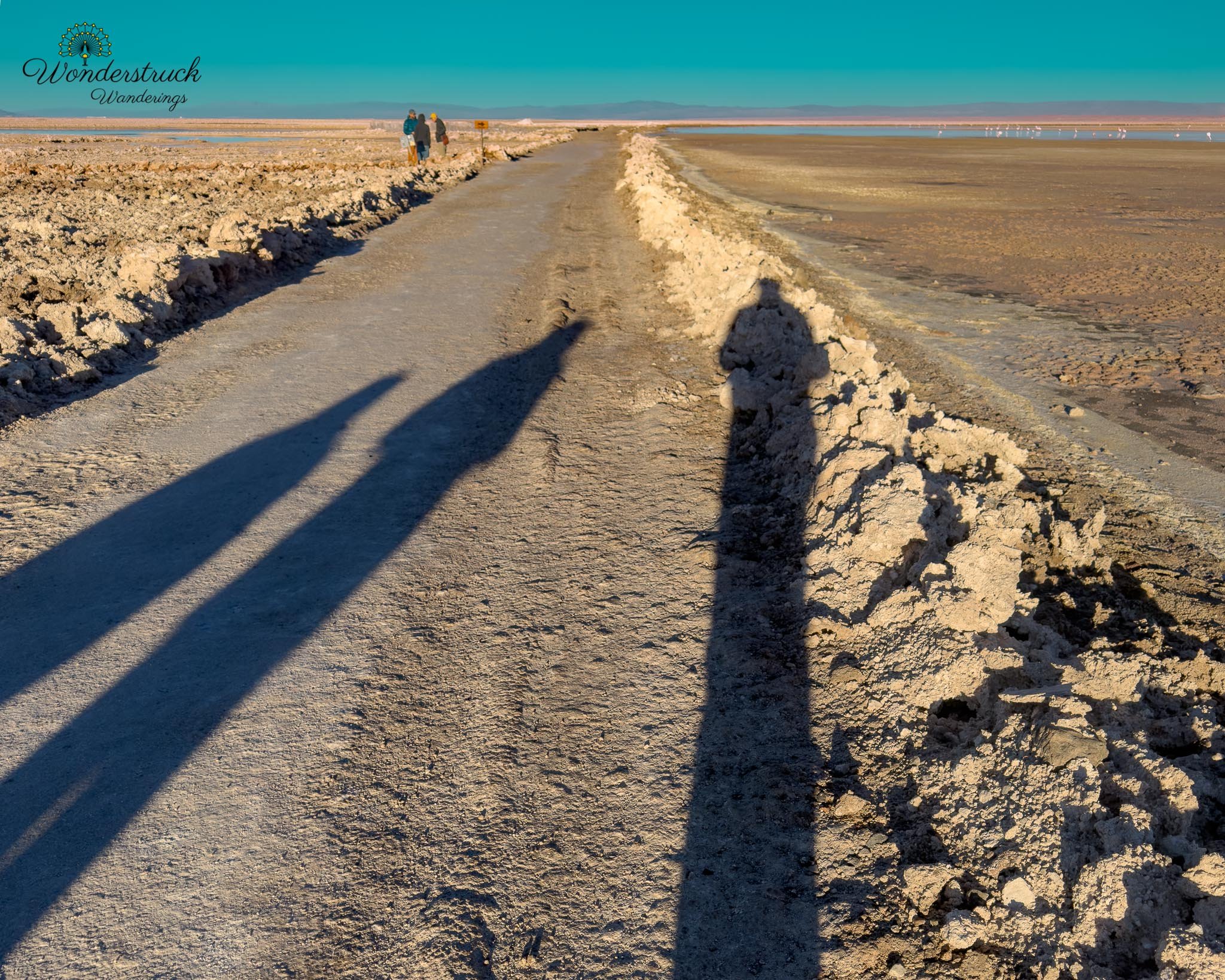
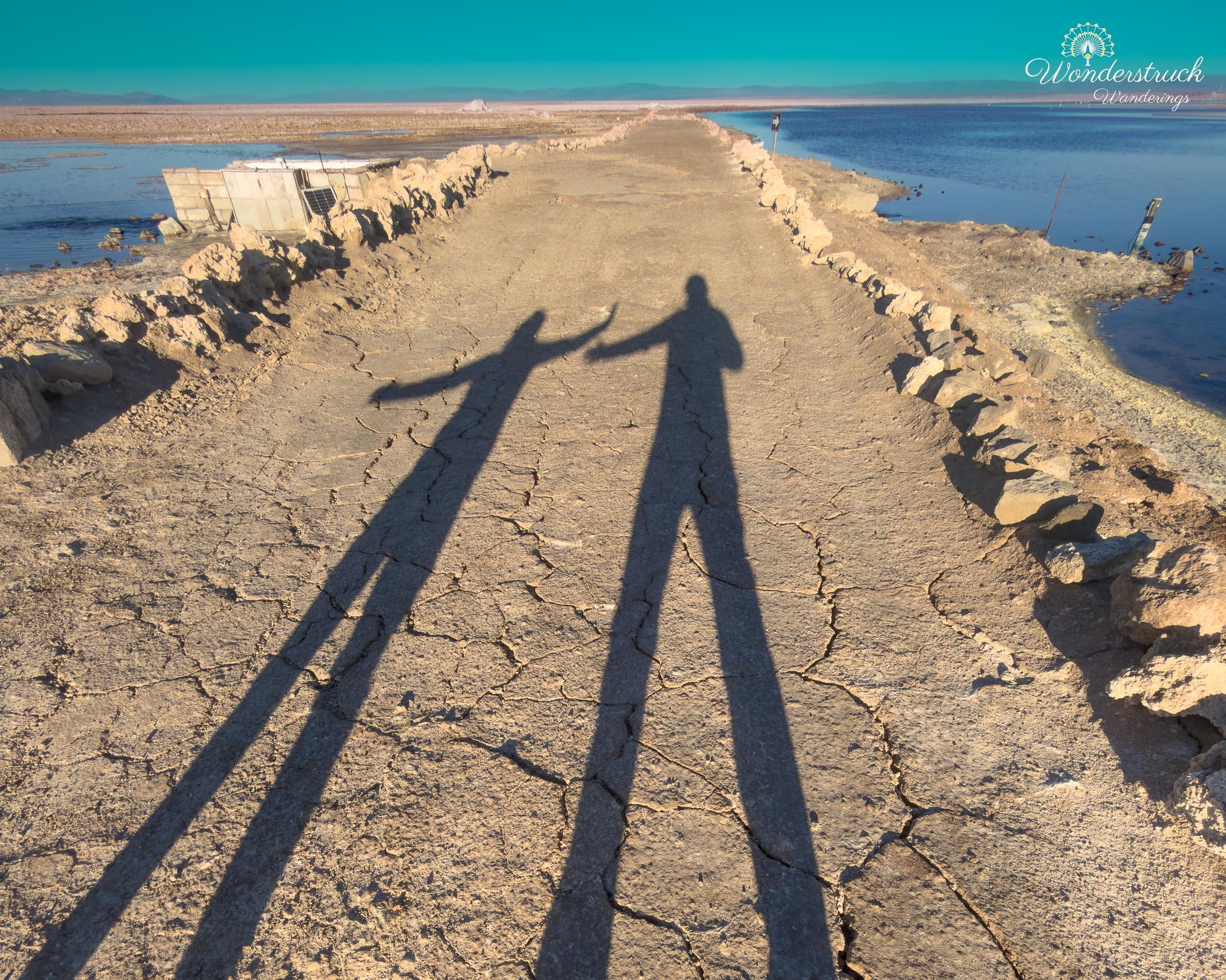
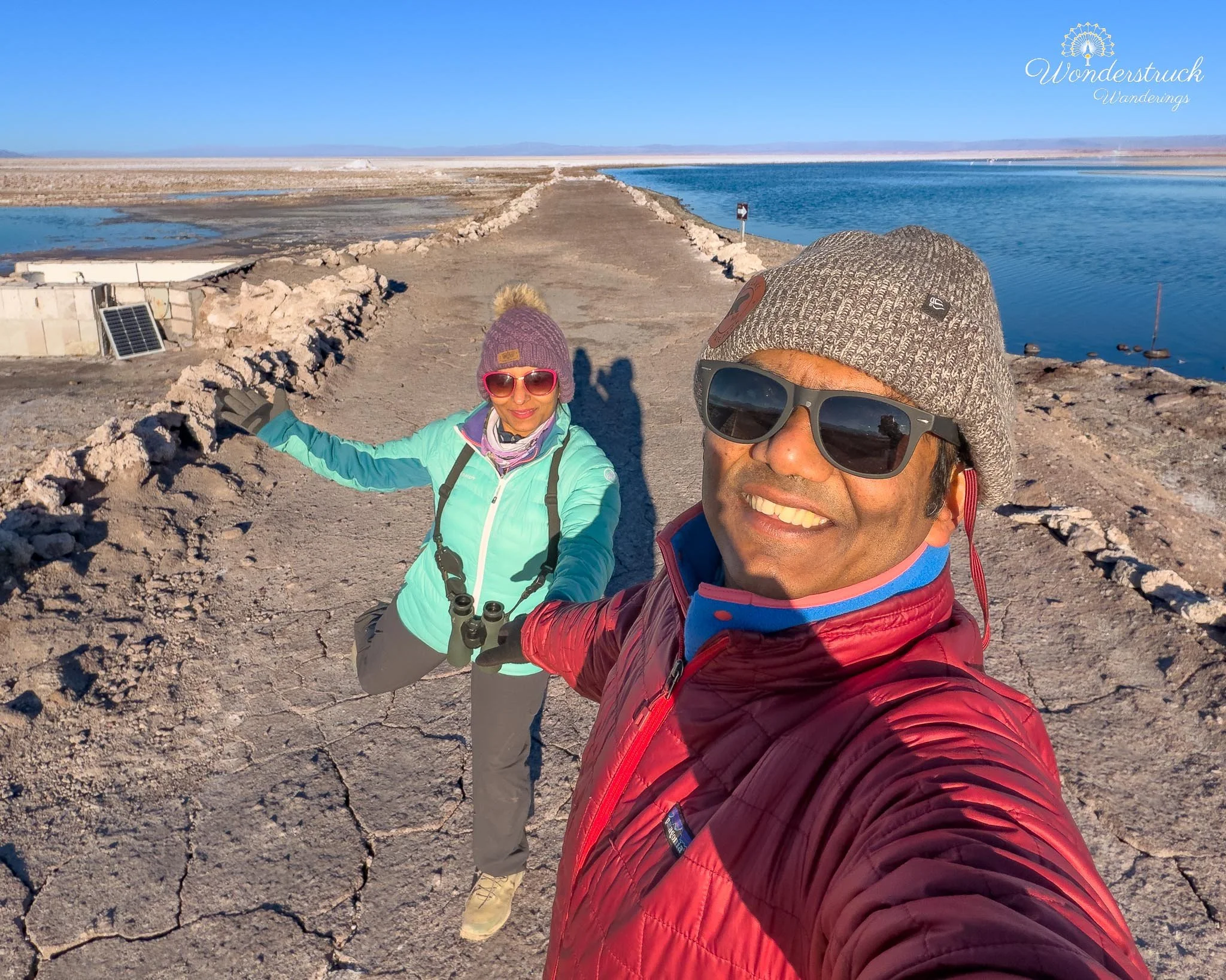
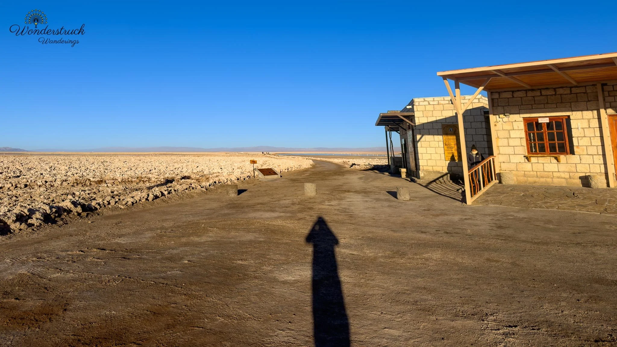
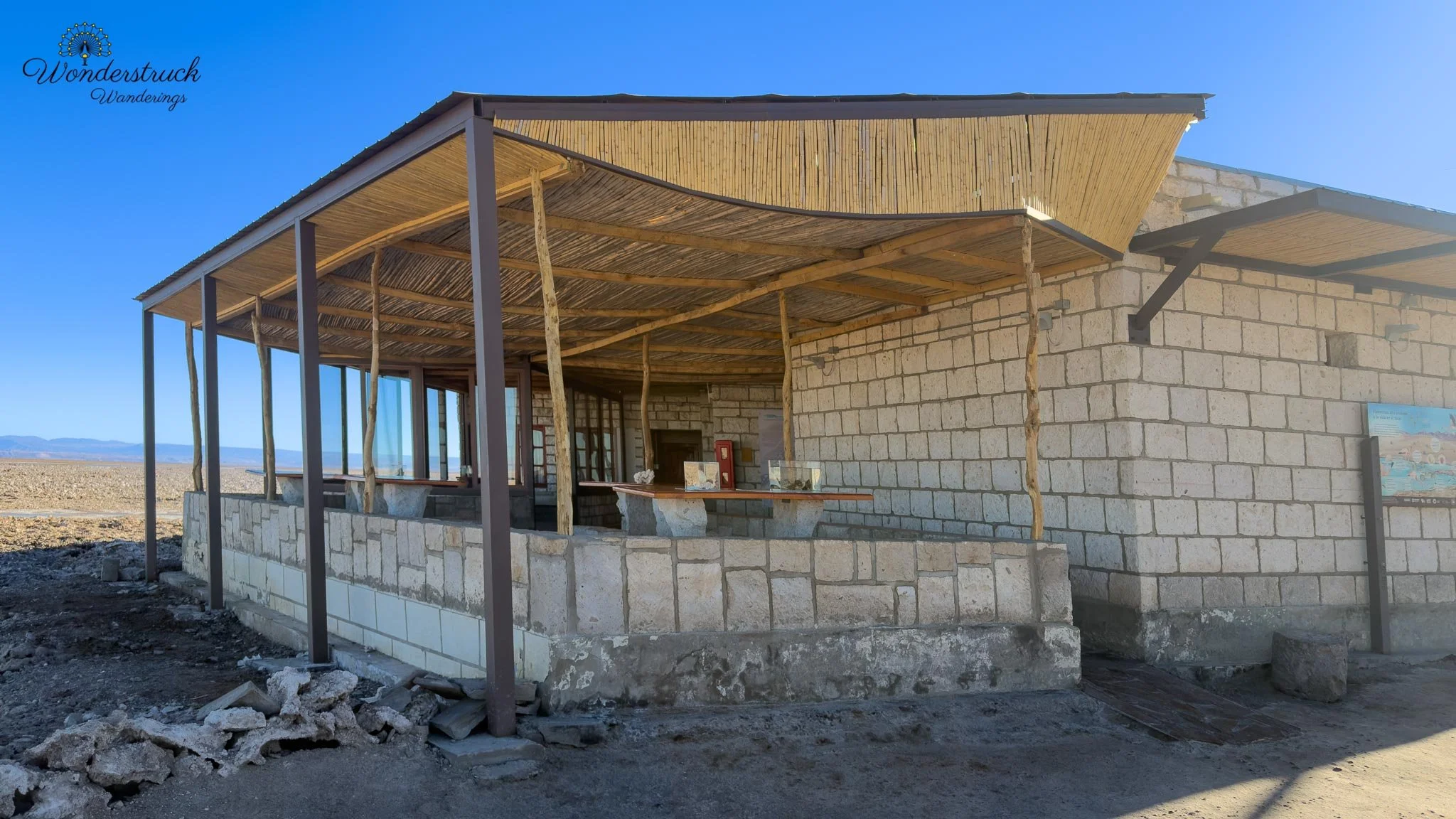
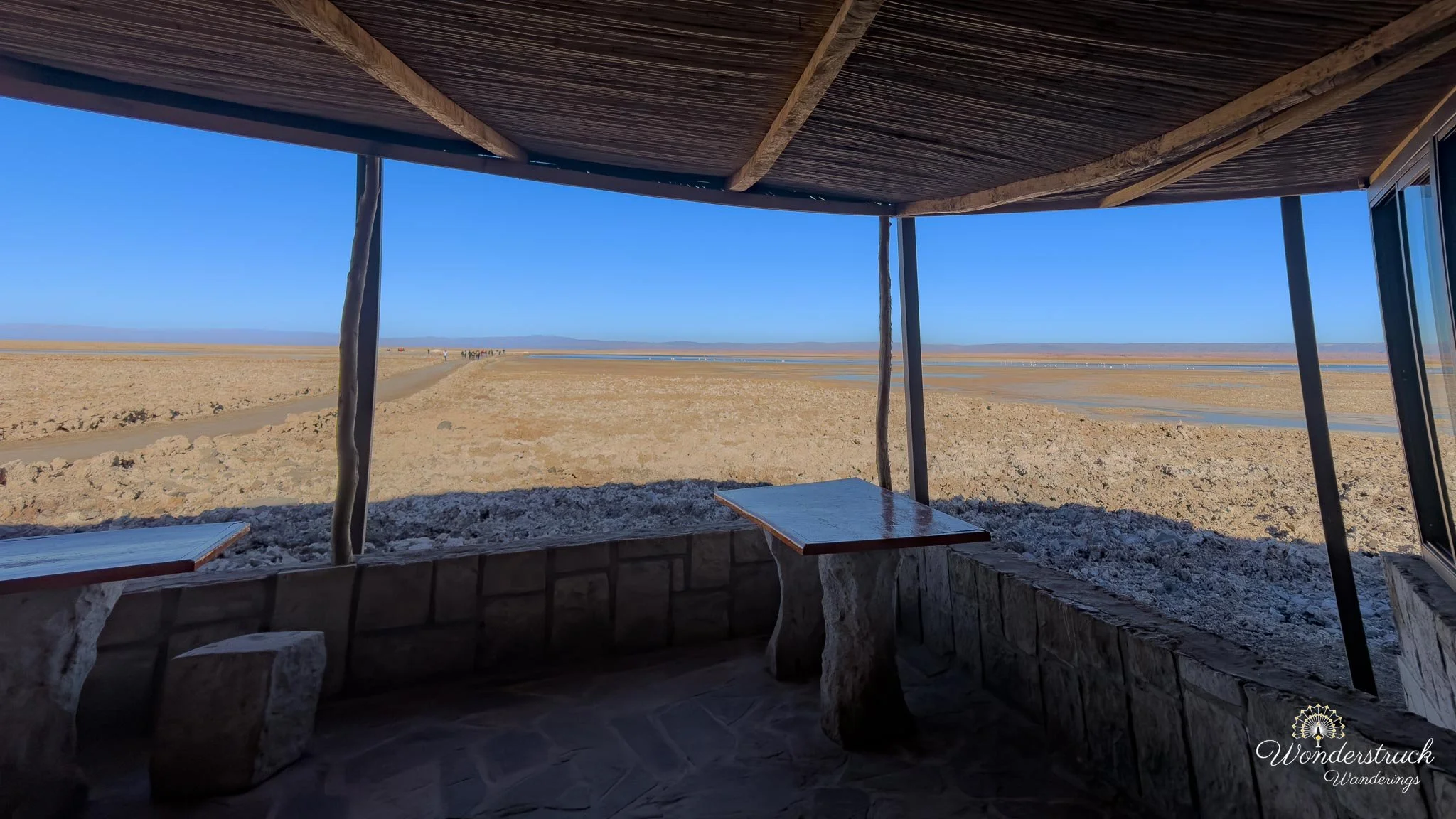
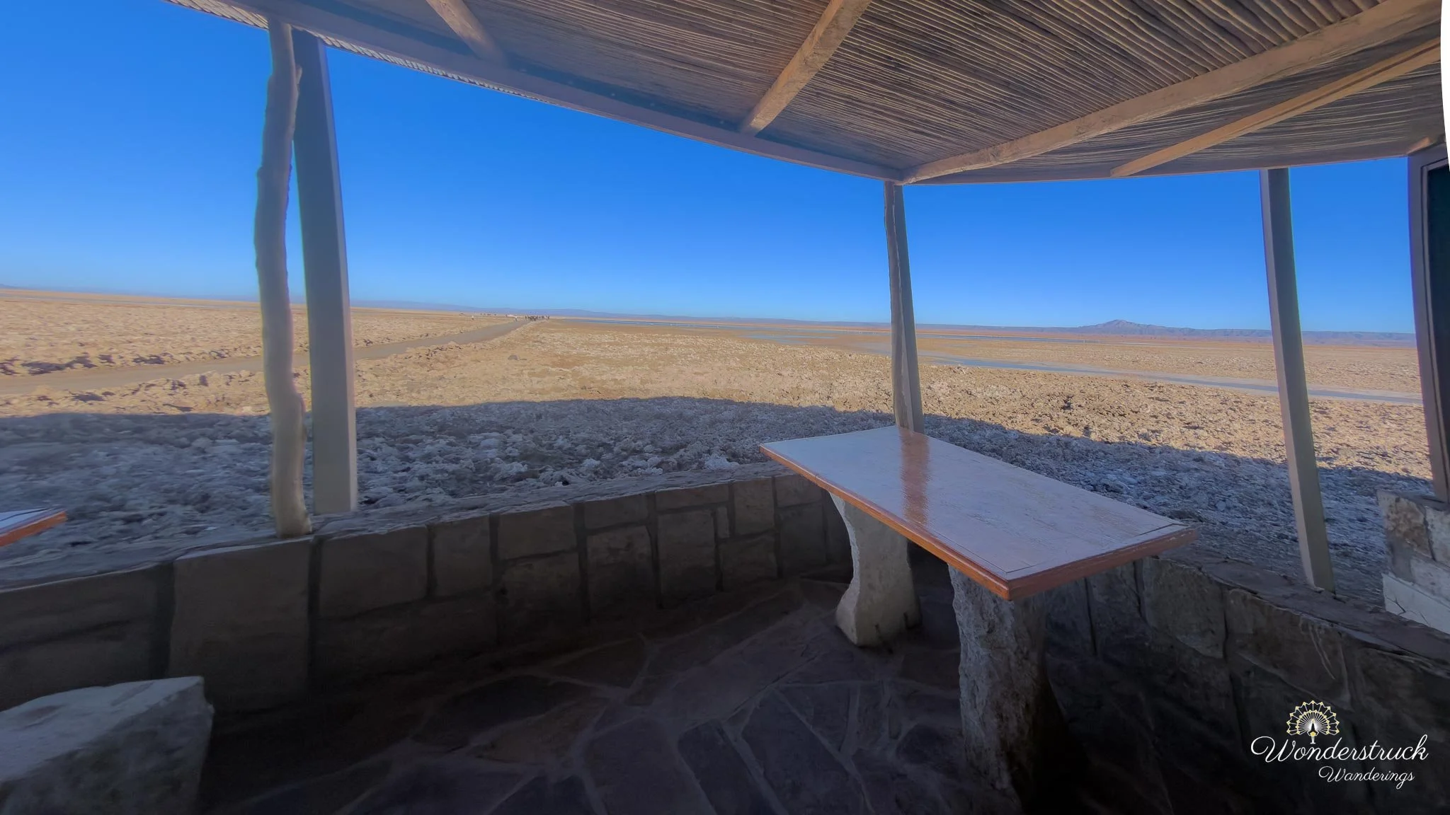
We wanted to arrive close to opening and before the light became too harsh. Laguna Chaxa is not just a quick roadside lagoon; it is part of the Los Flamencos National Reserve and one of the classic places near San Pedro to look for flamingos in the Salar de Atacama. The early start mattered because the light over the salt crust changes quickly. In the first part of the morning, the water can hold color, the mountains still have depth, and the birds are active before the sun turns the entire salar into a white, reflective glare. Laguna Chaxa has two access points in series in practice. One gate sits about twenty minutes before the actual visitor center, and that gate is closed every night and opened in the morning by staff. Luckily for us, there was a large van in front of us. At first, we assumed it was a tour bus, but it turned out to be the staff transport. They opened the gate, and we followed them in. That was one of those small self-drive travel moments where timing works out perfectly and saves you from sitting alone at a closed gate wondering if you have made a mistake. At the visitor center, they asked us to wait until the ticket counter was ready. Tickets had to be purchased online rather than at the gate, and once they checked our reservation, they let us in. We were the first car, arriving just as the sun was beginning to come up behind the mountains. There are also restrooms at the visitor center, which is very useful after an early start and a morning cup of coffee.
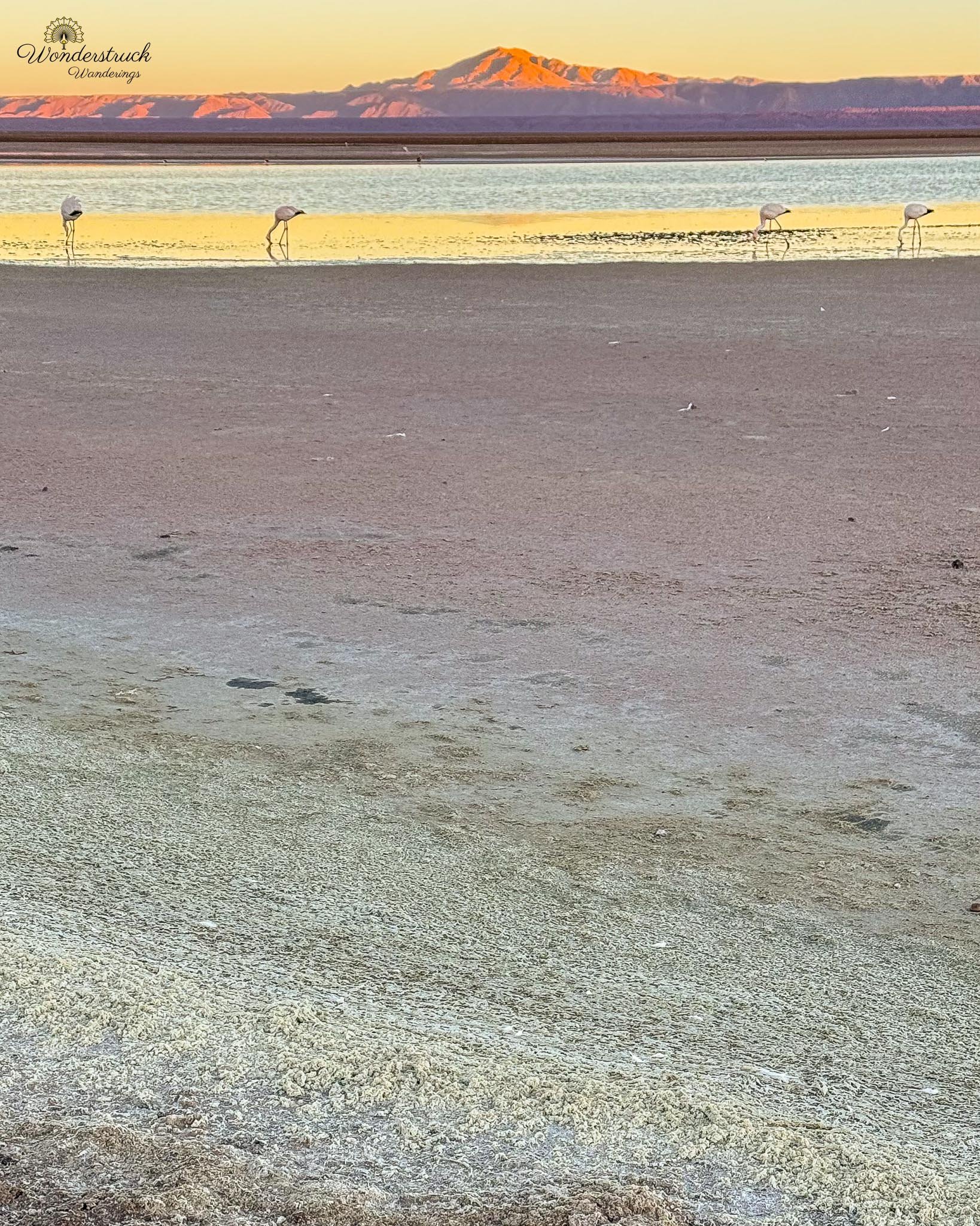
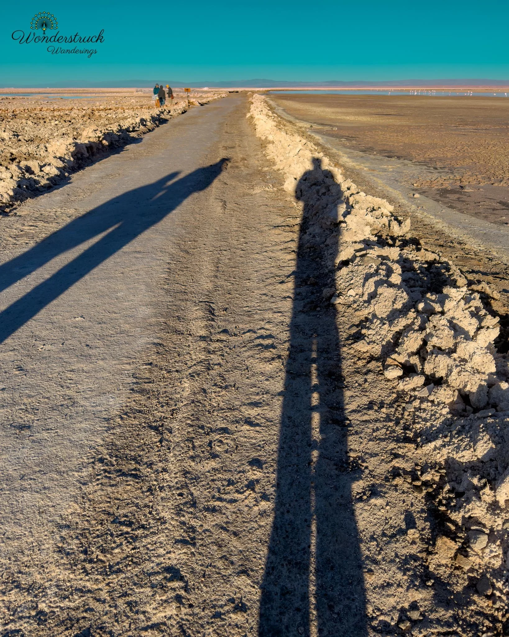
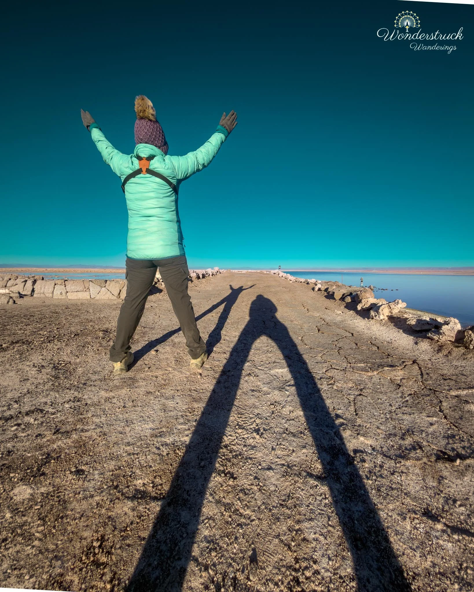
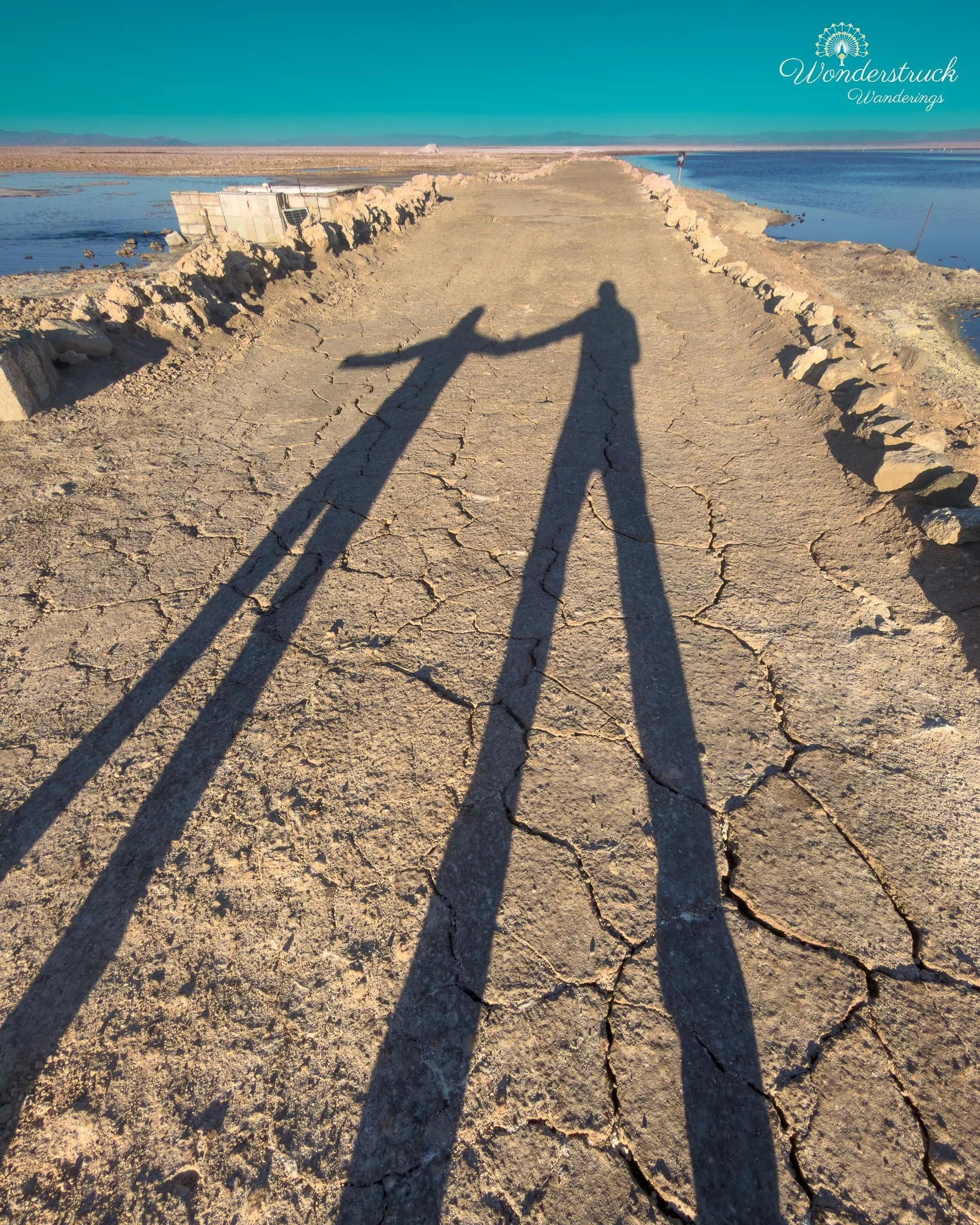
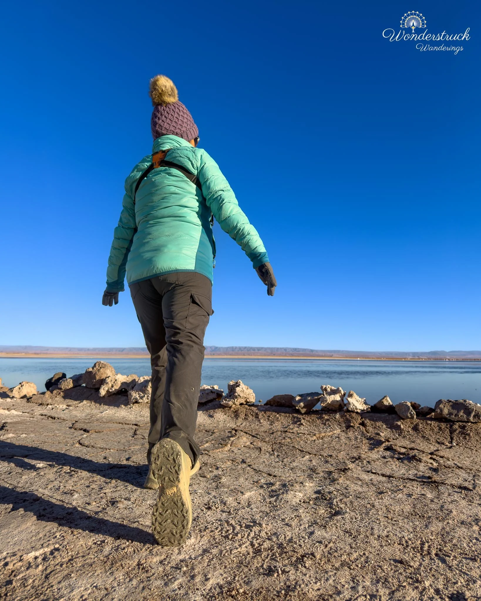
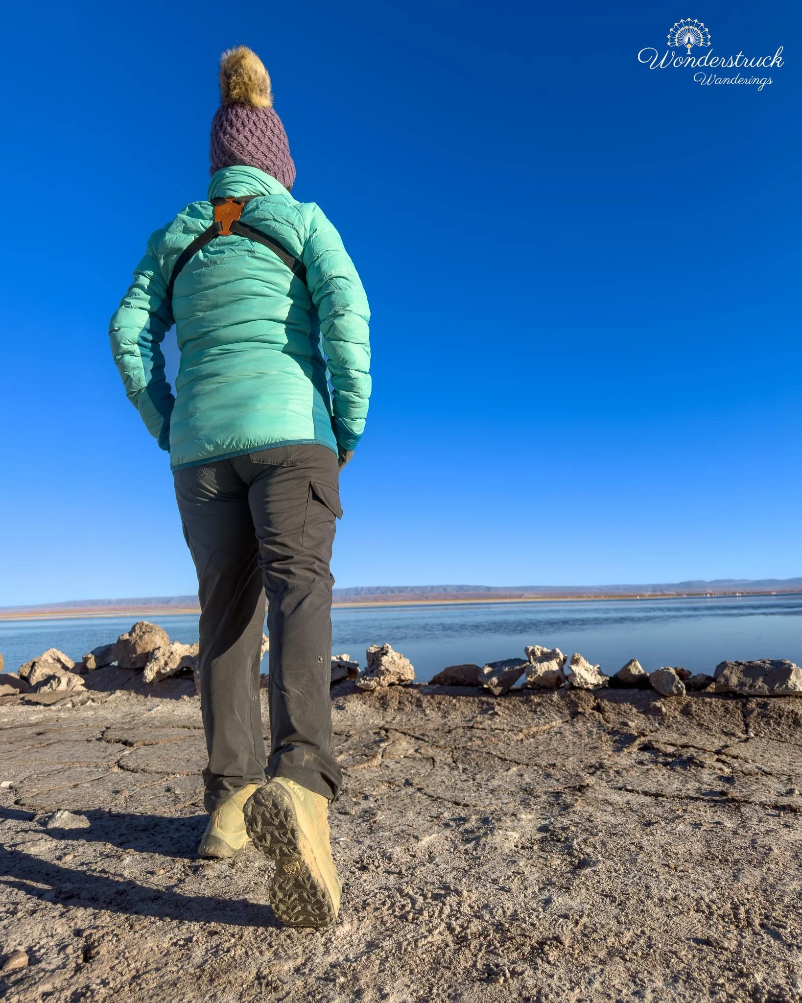
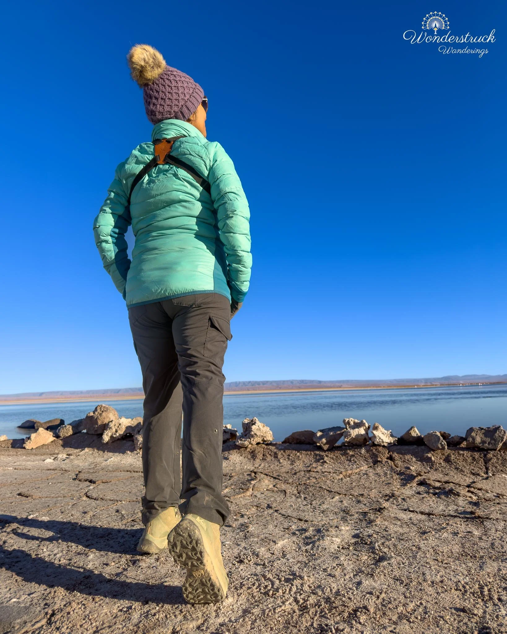
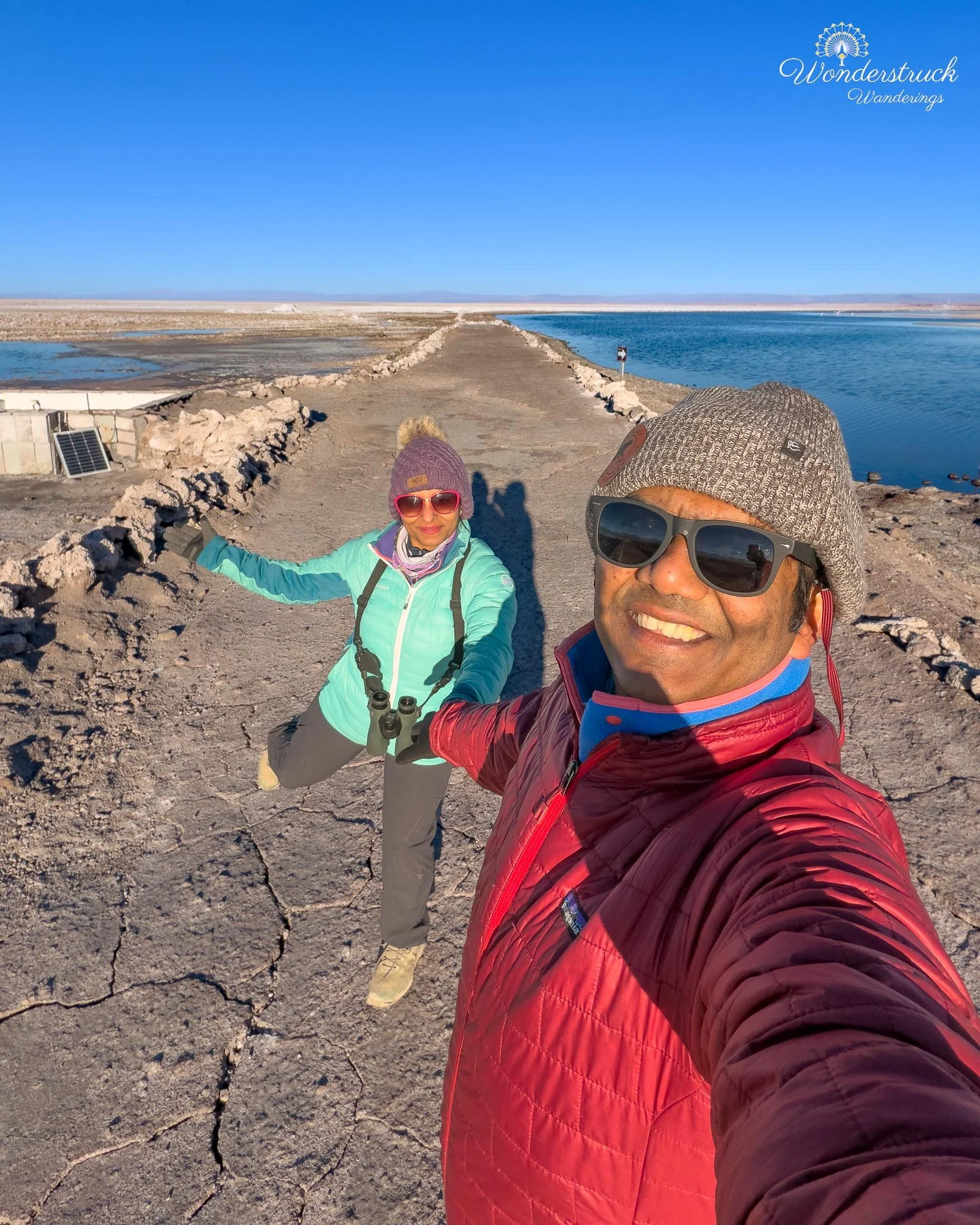
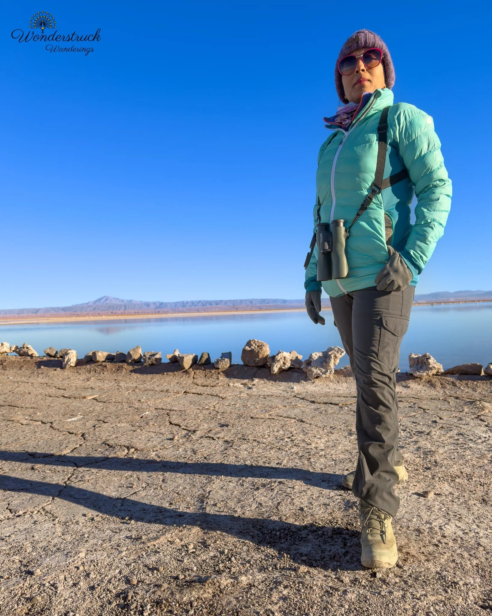
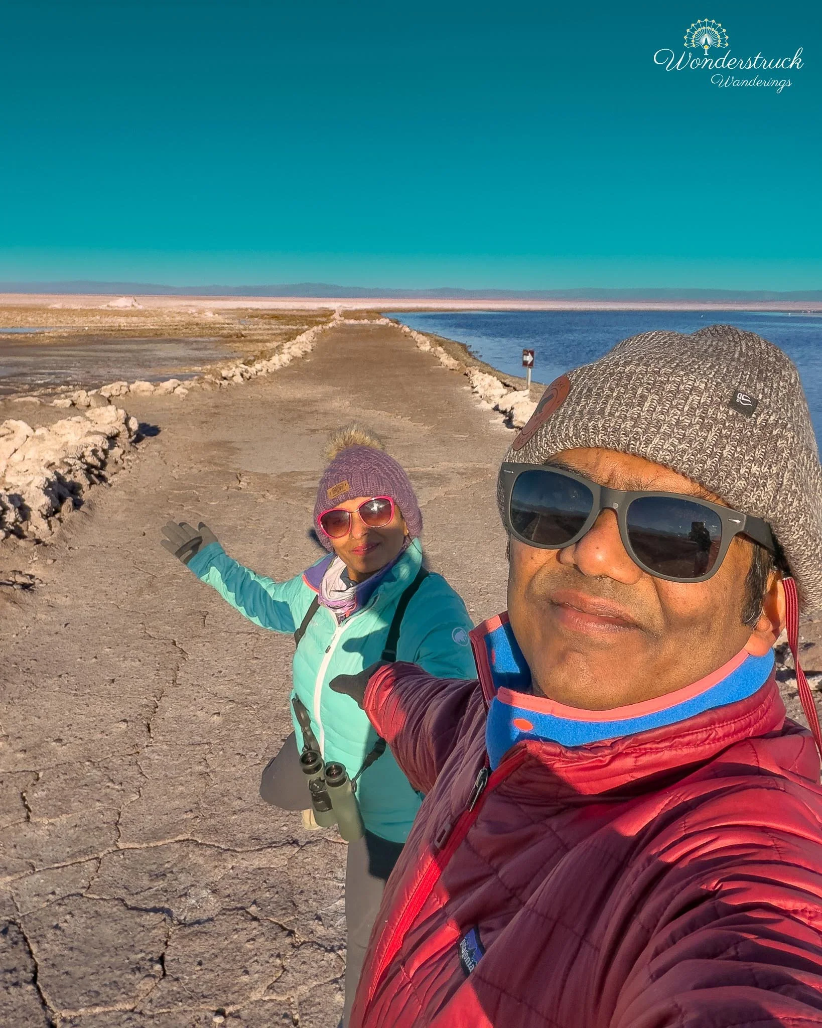
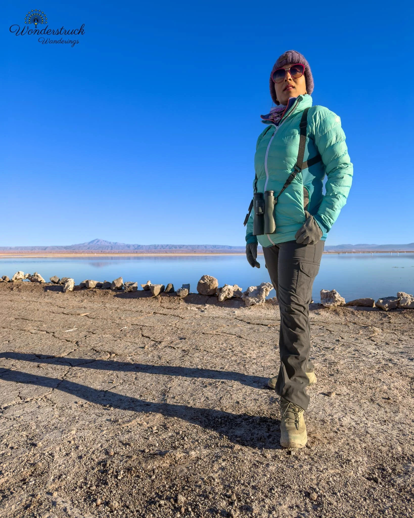
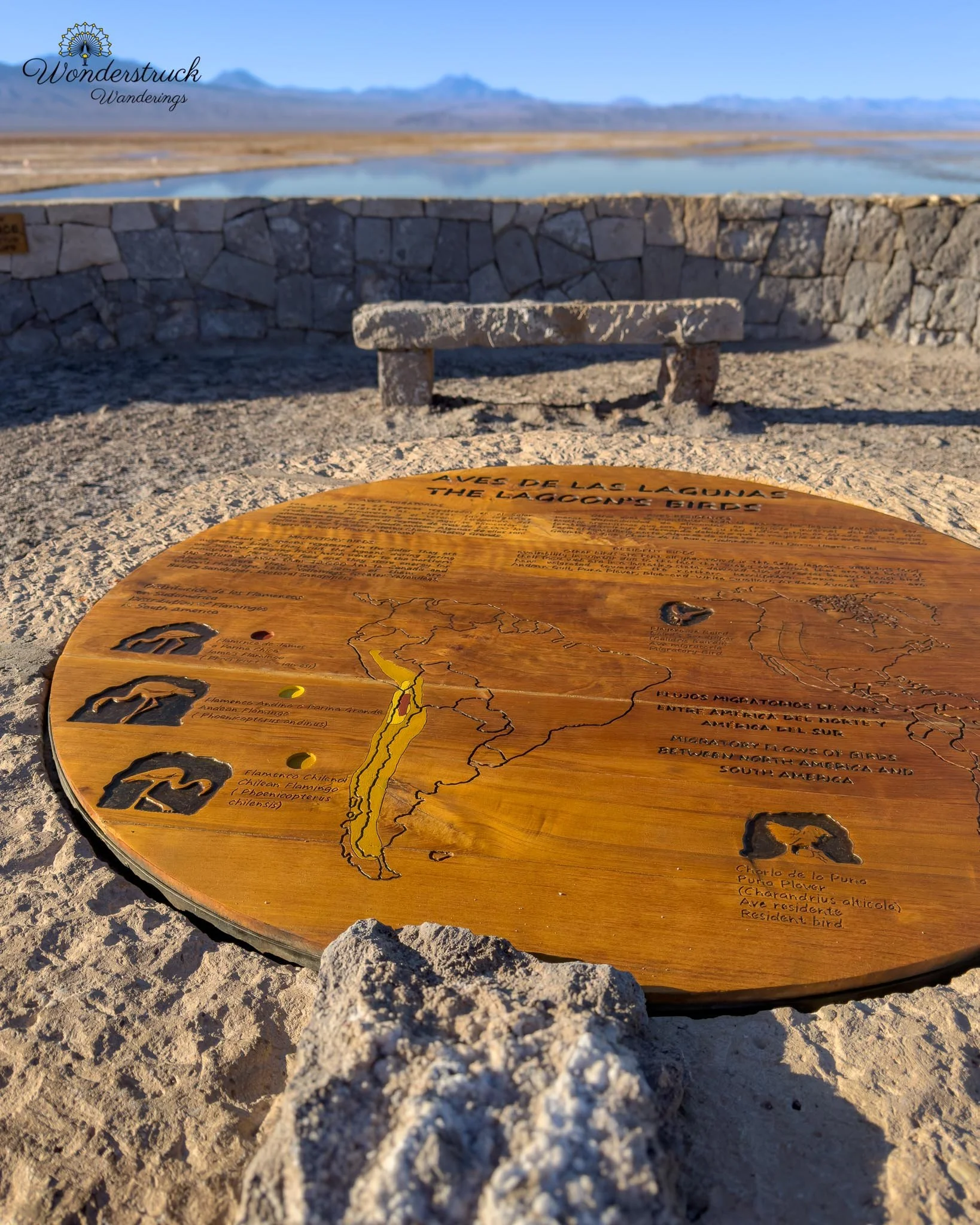
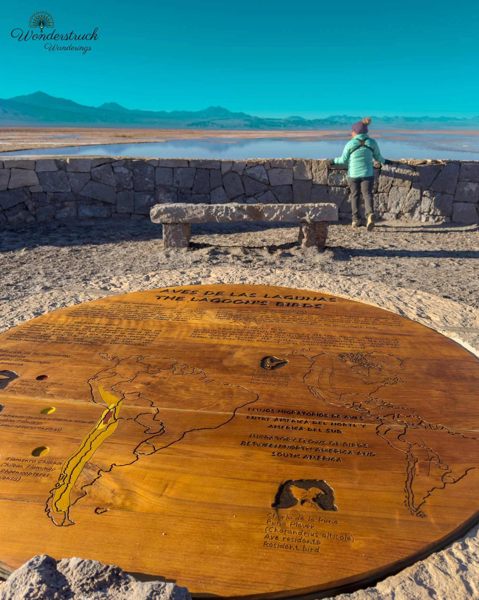
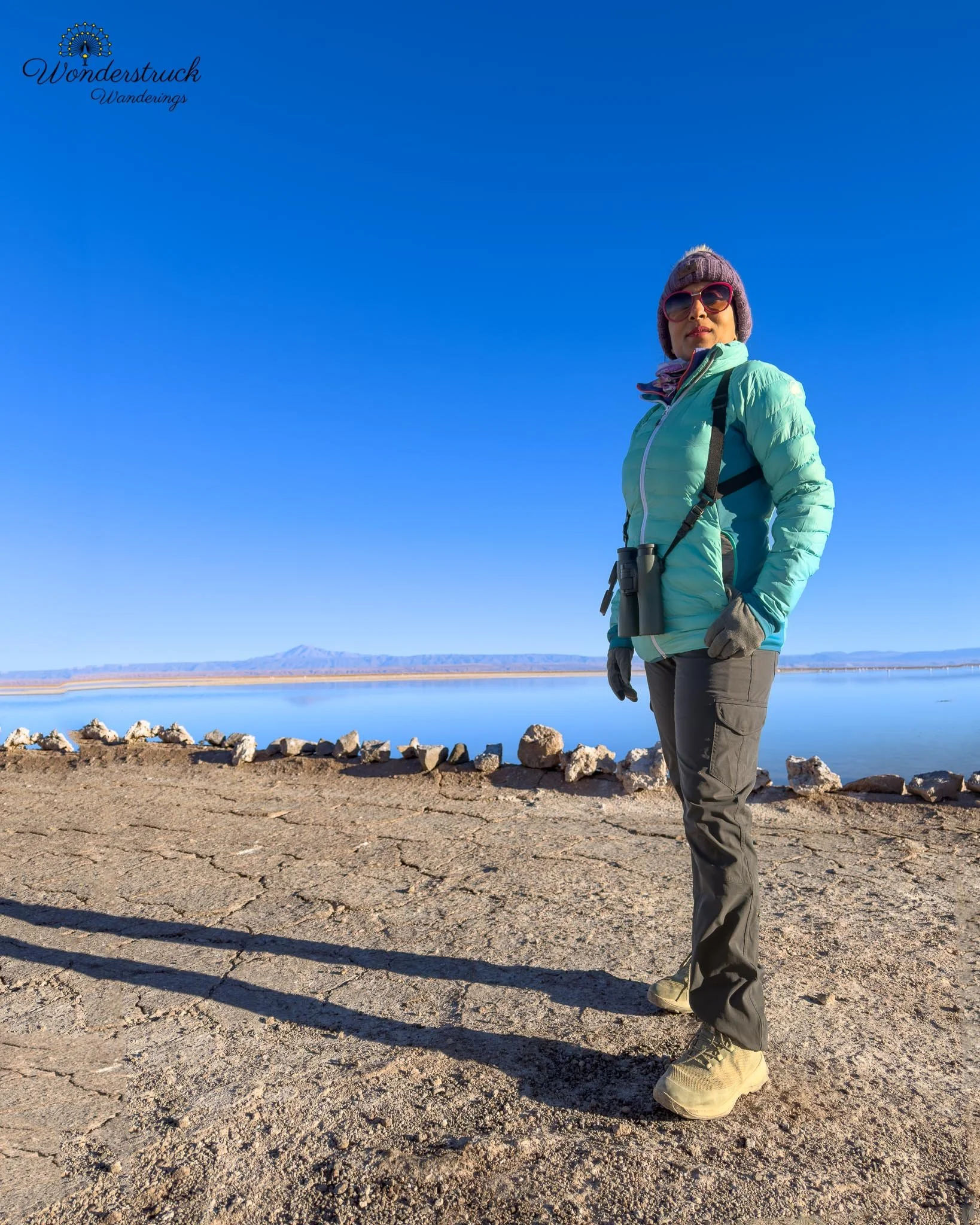
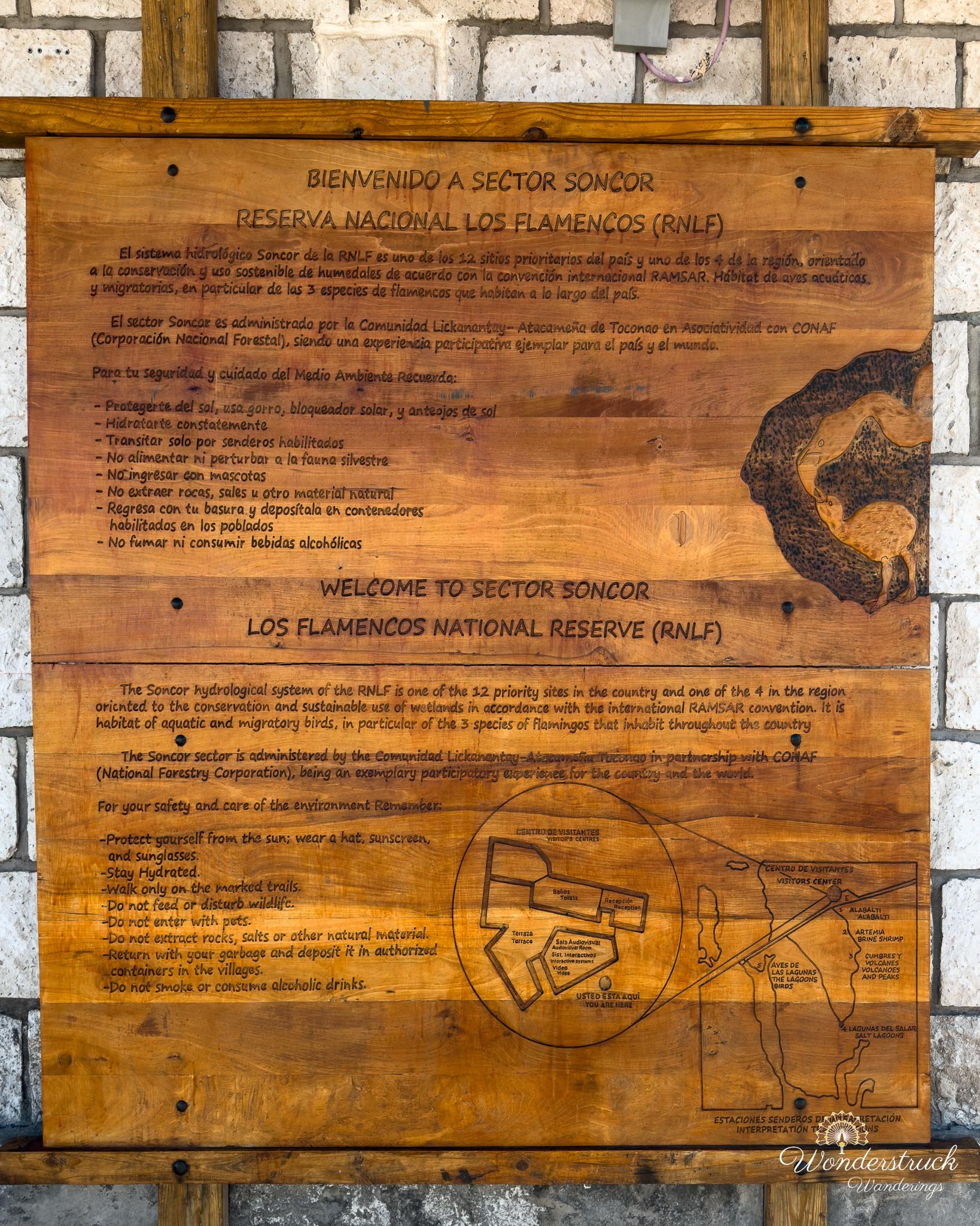
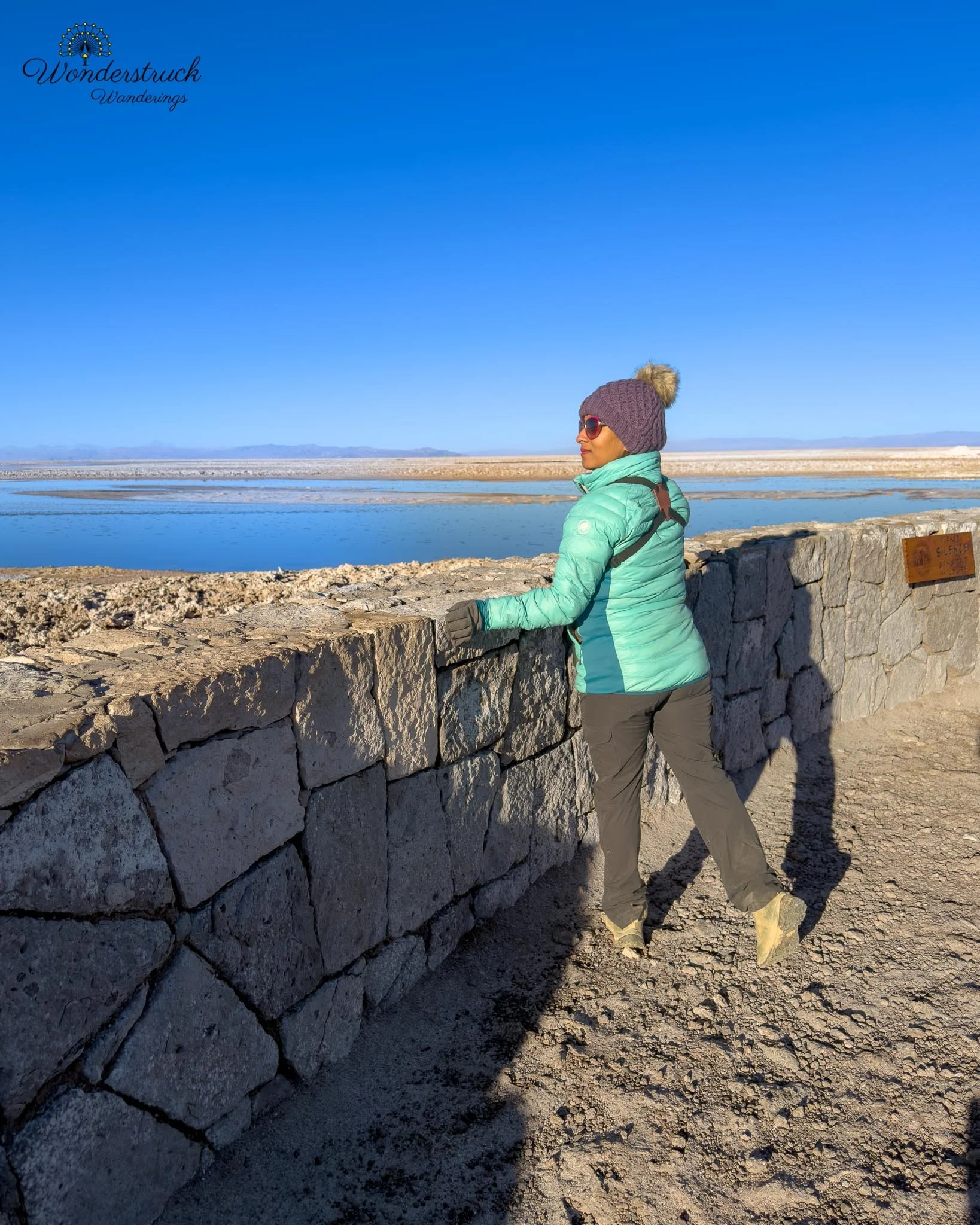
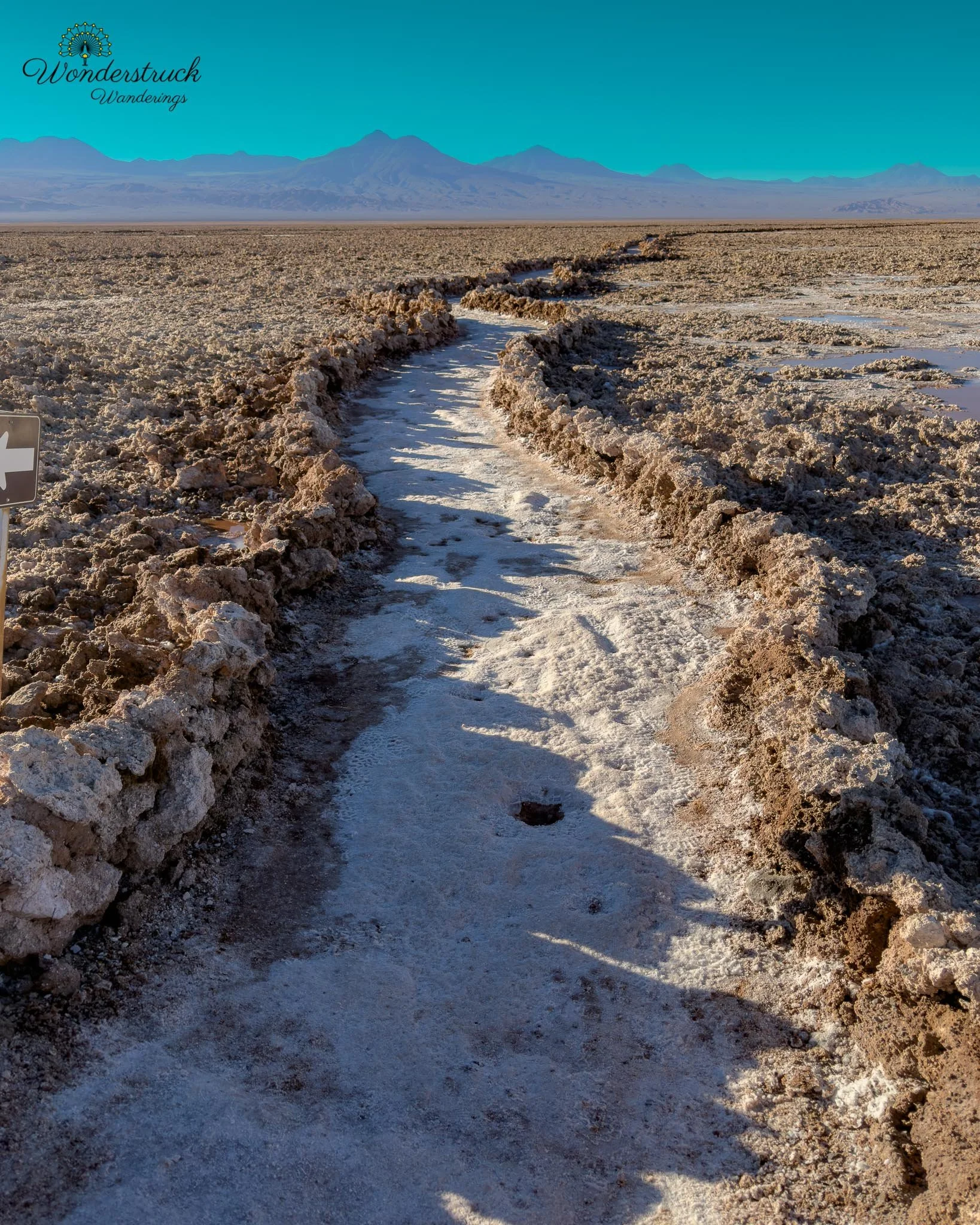
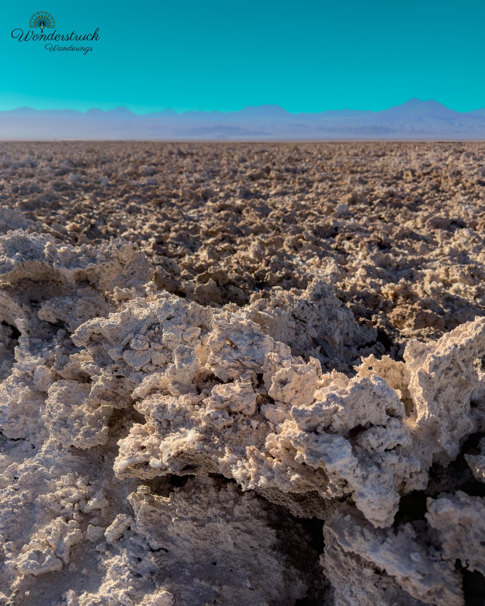
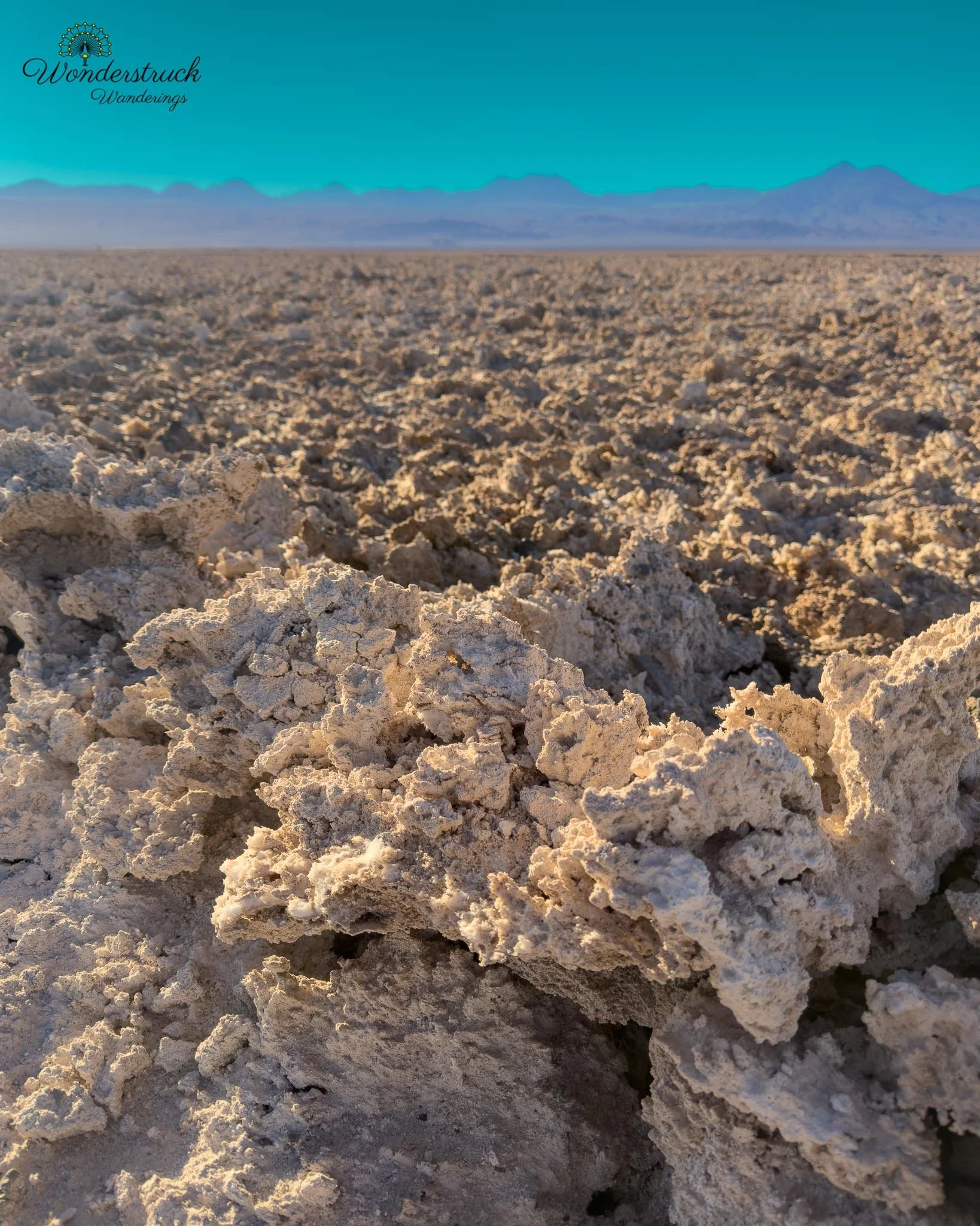
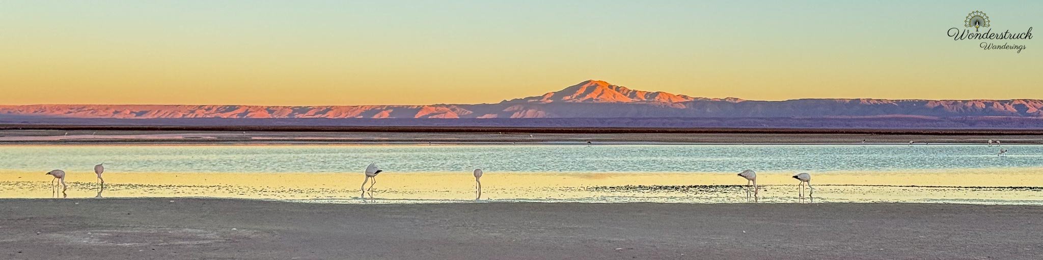
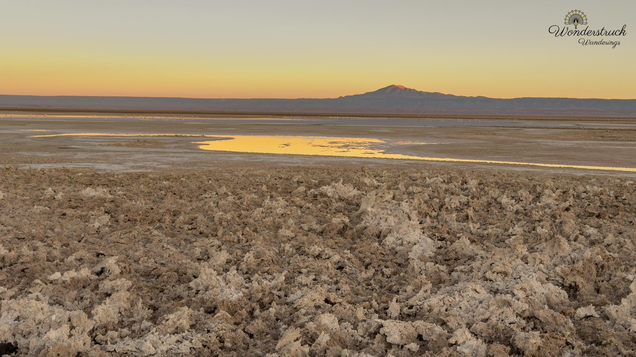
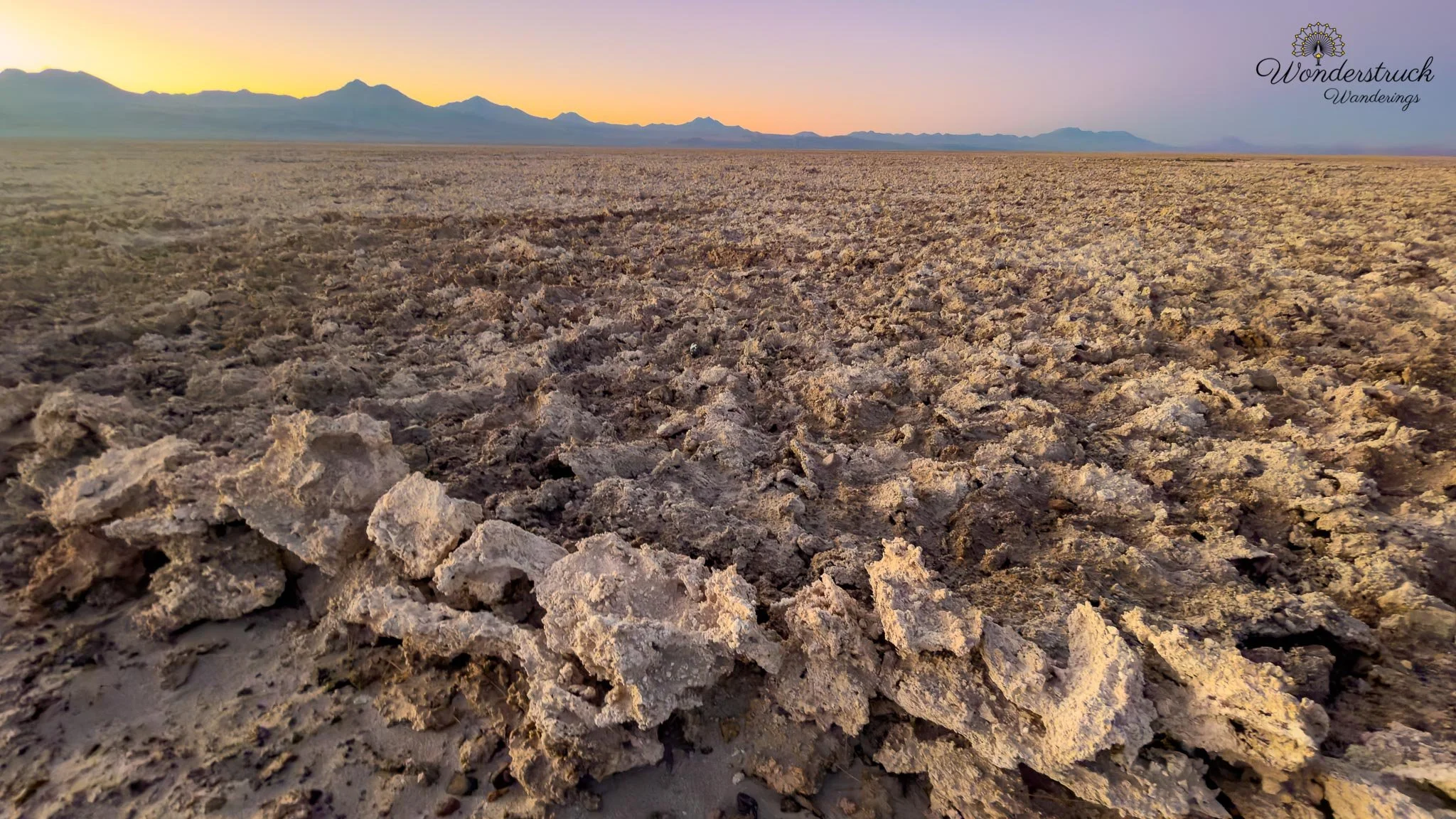
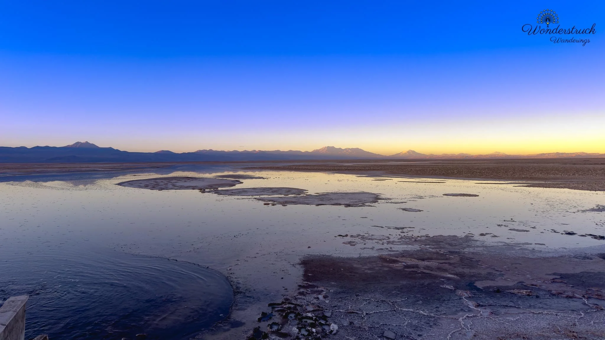
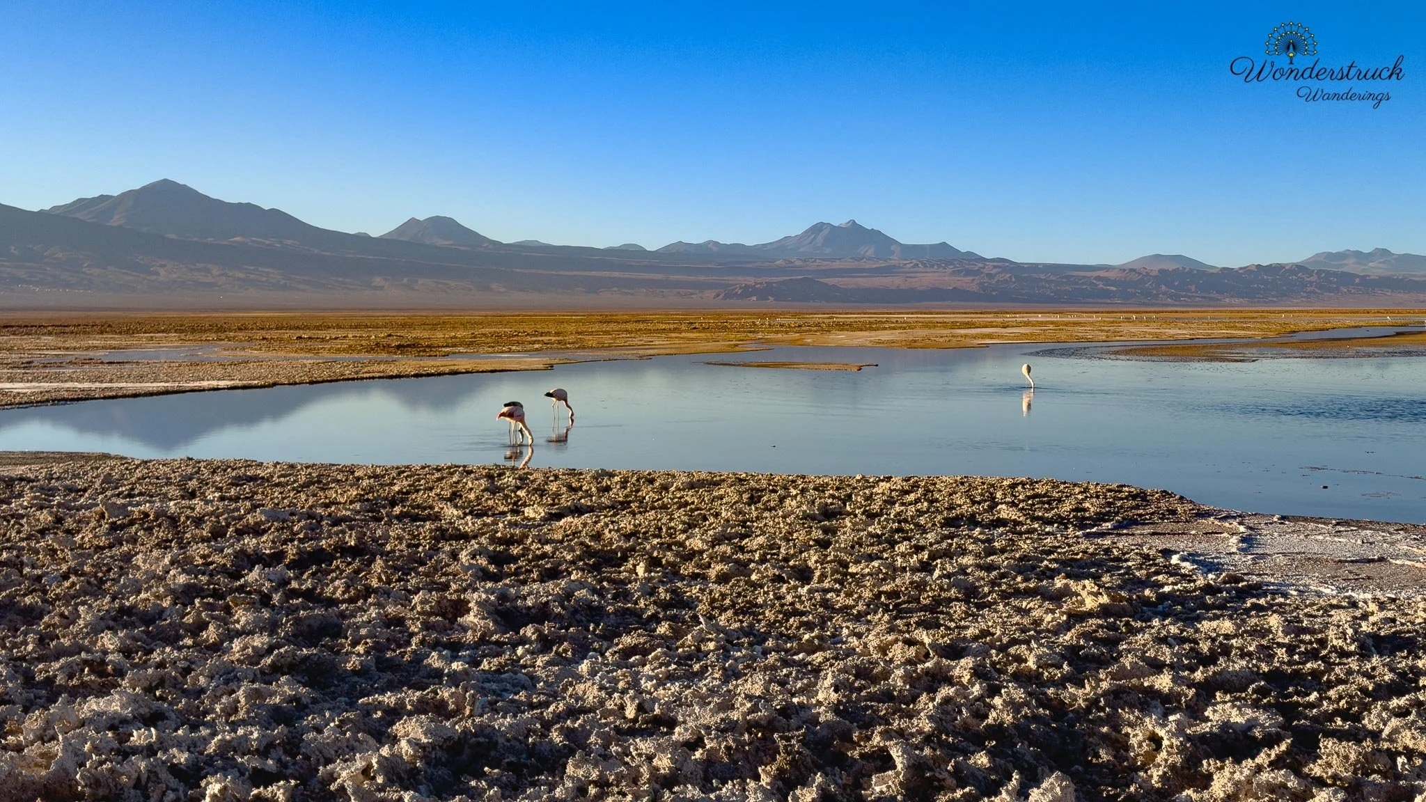
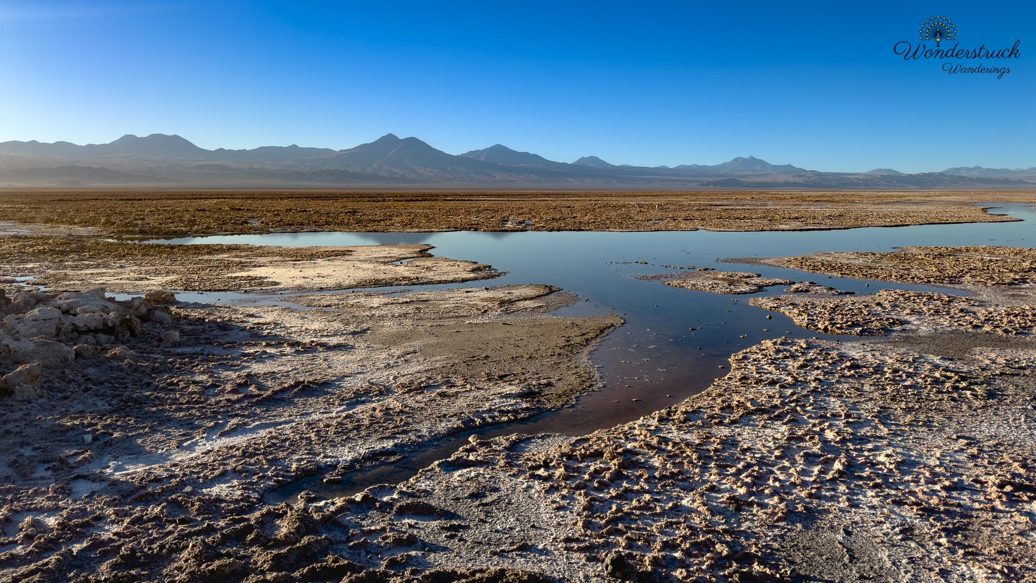
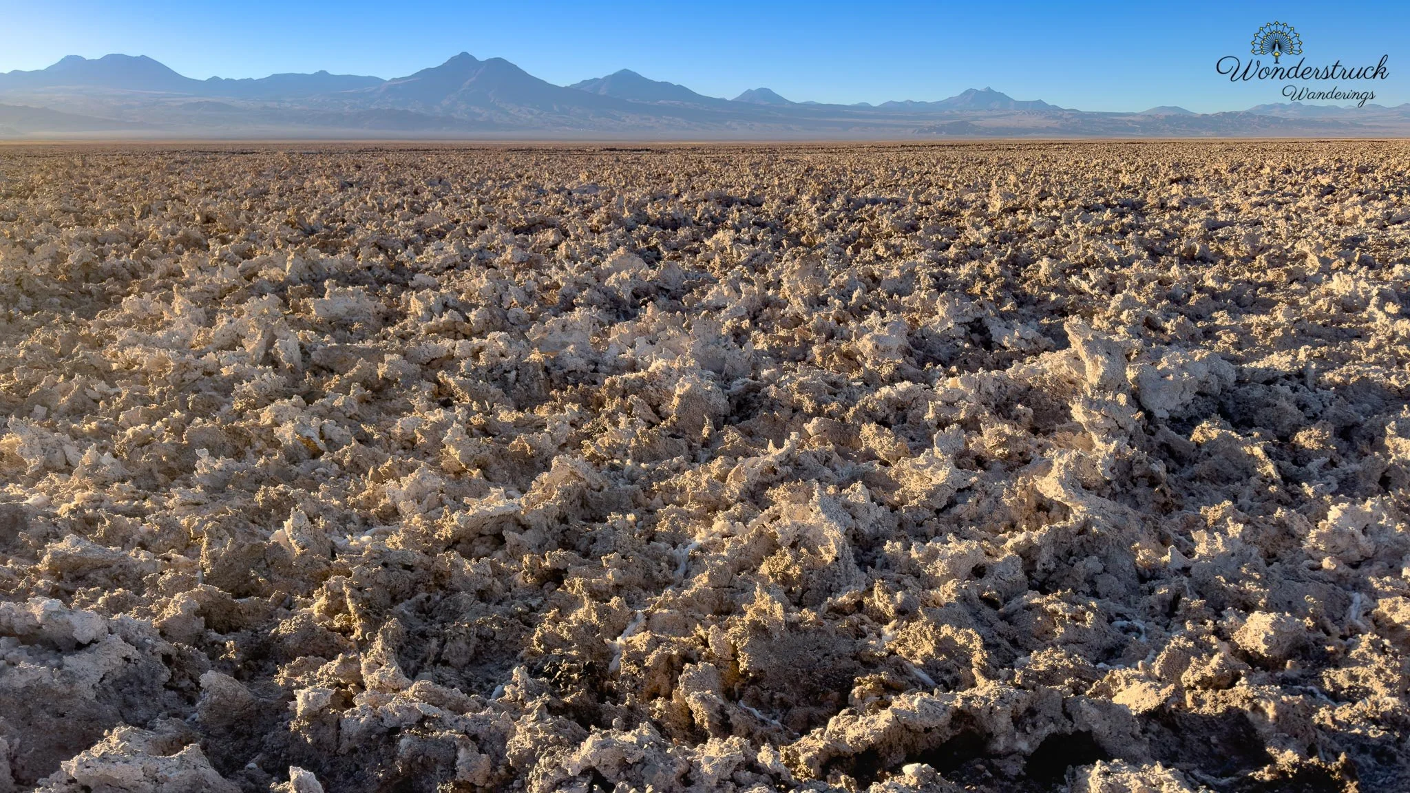
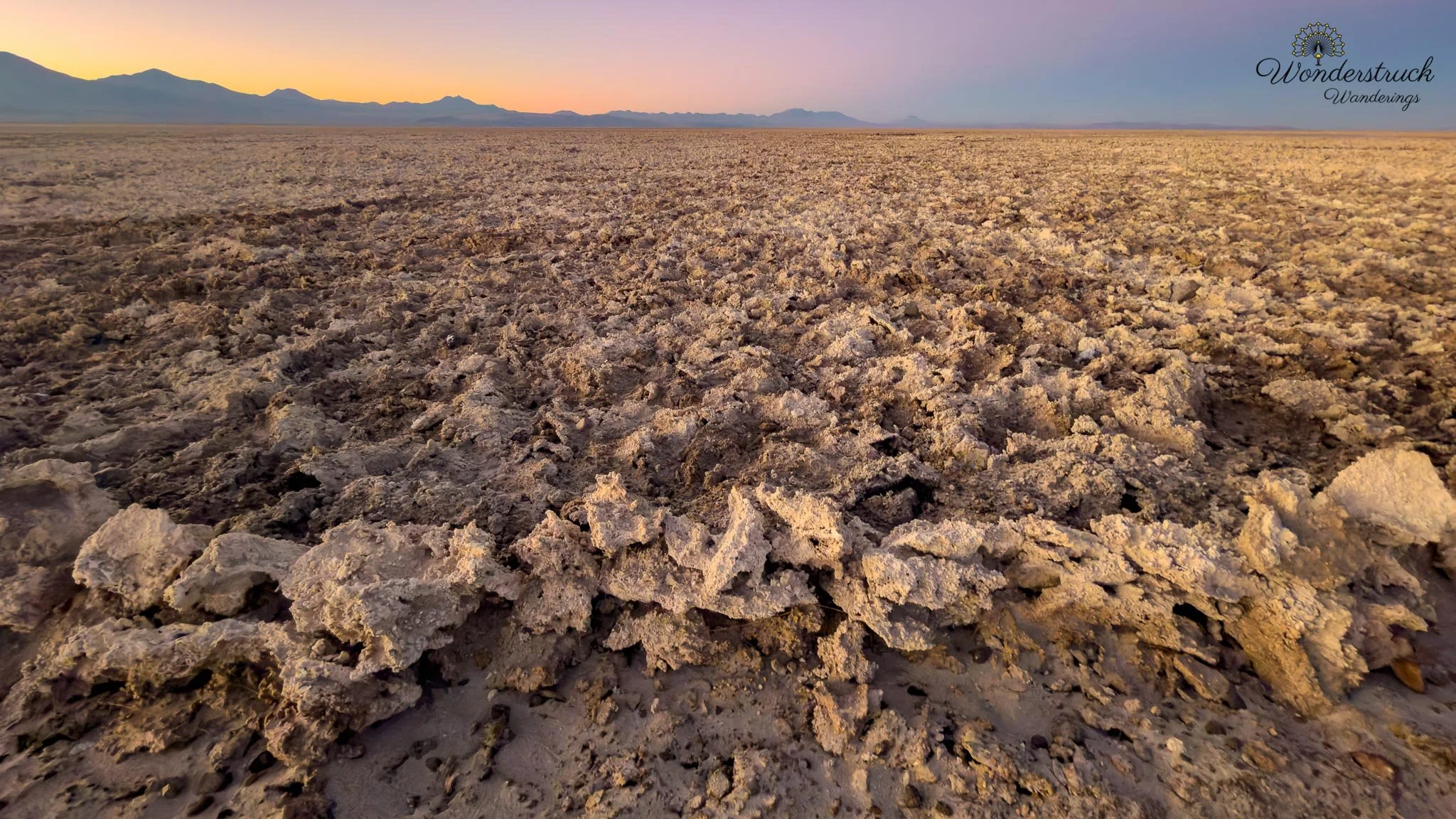
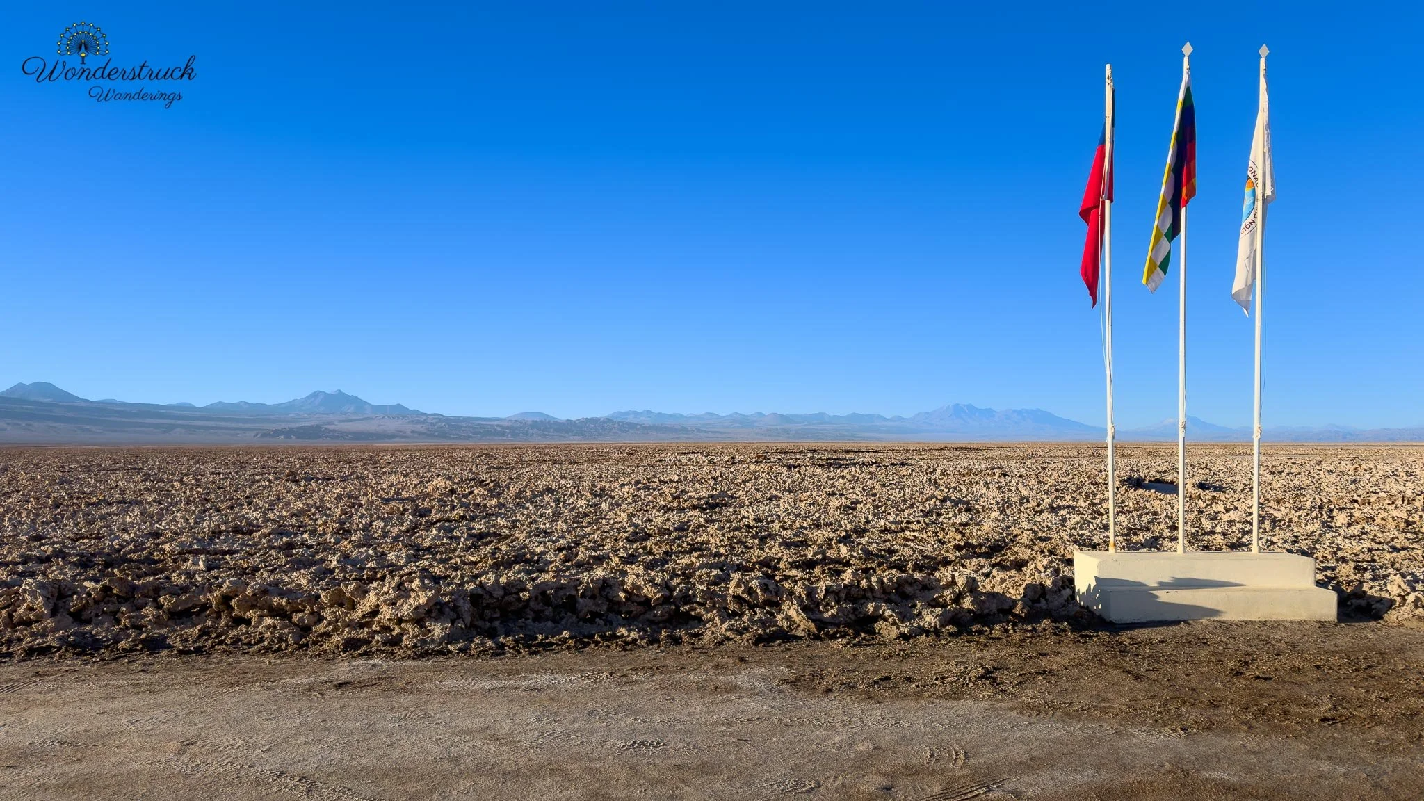
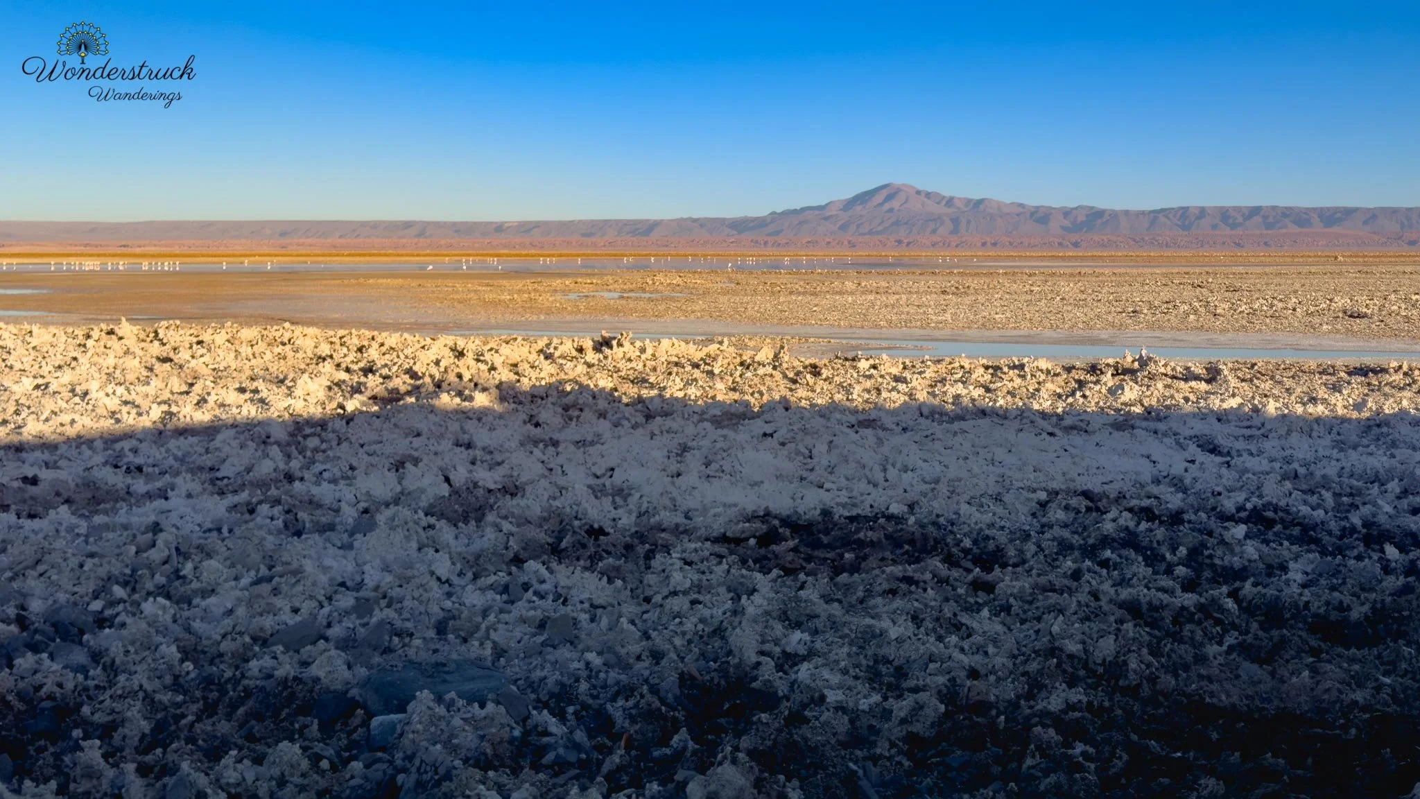
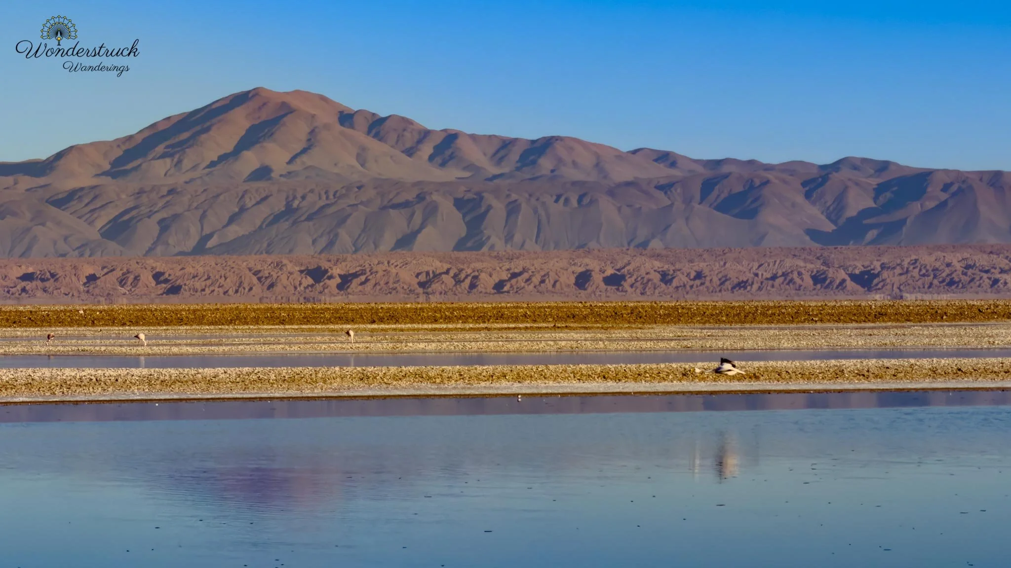
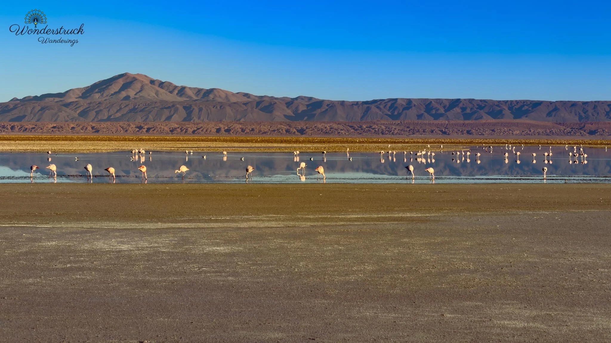
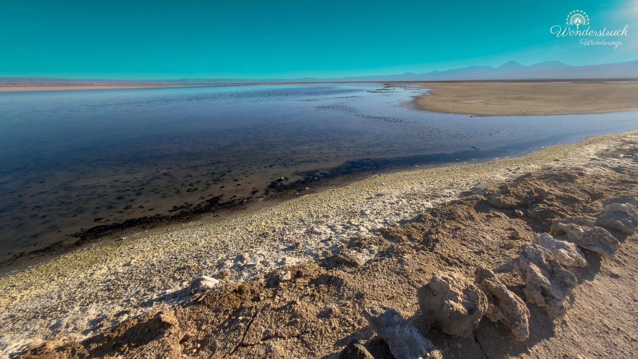
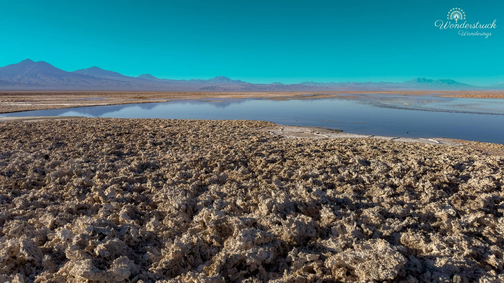
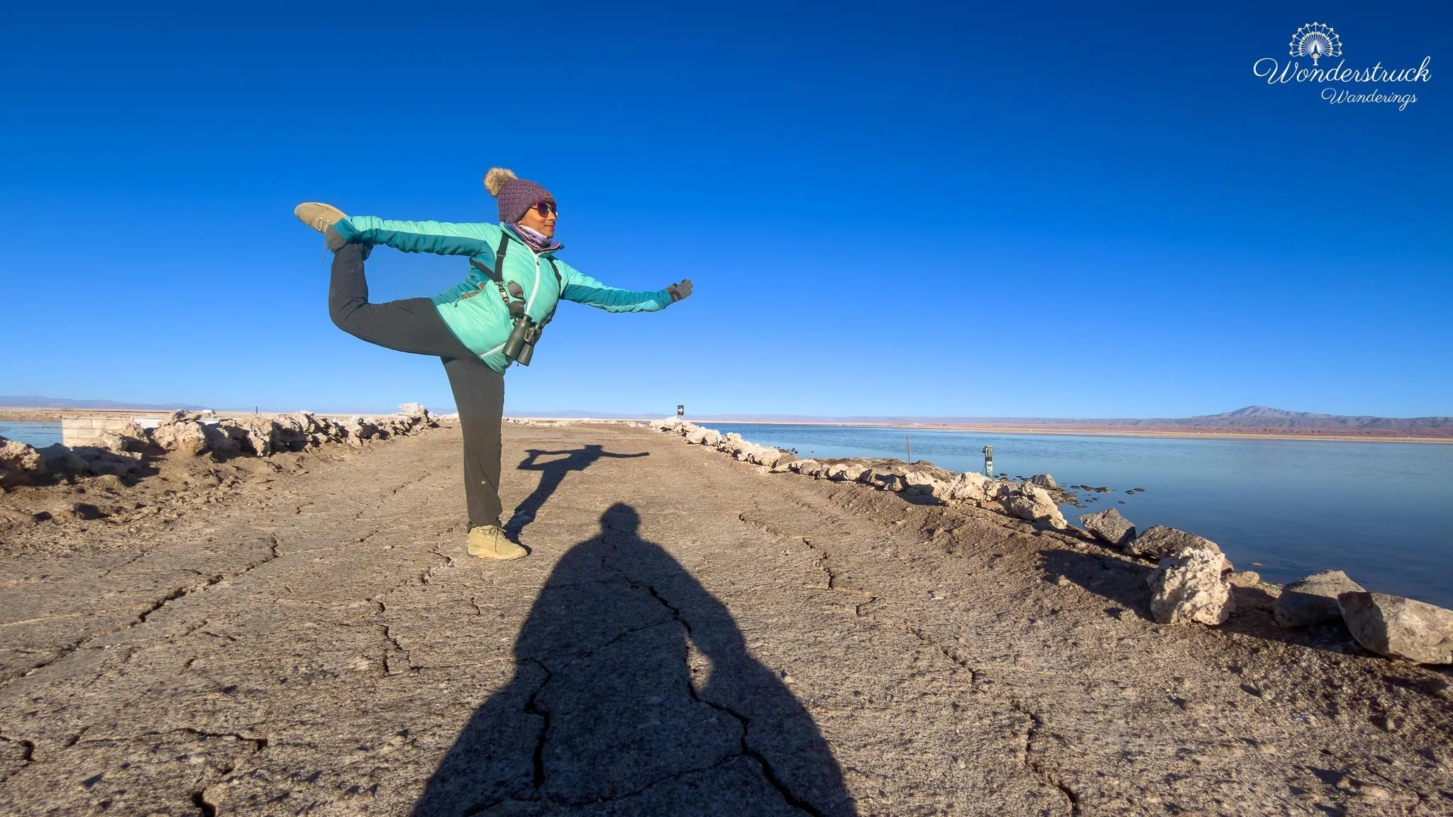
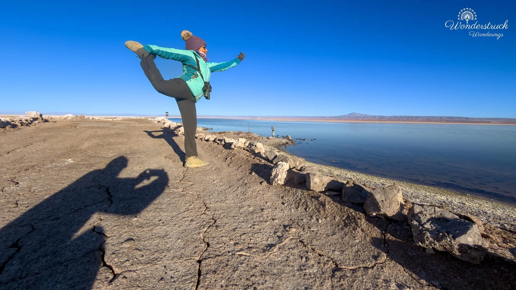
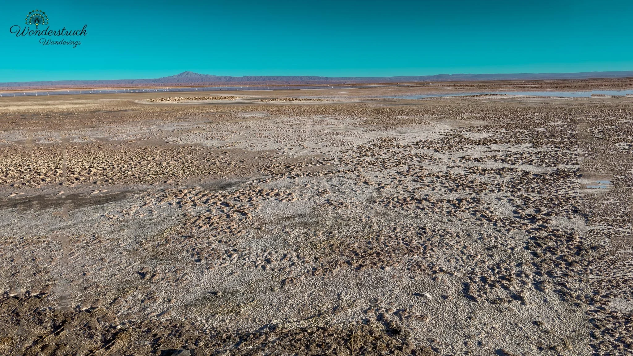
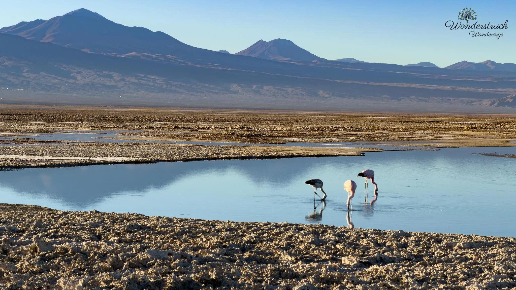
Laguna Chaxa is built around a pathway between salt lagoons. It is not lush or soft in any conventional sense. The beauty is harsher: jagged salt crusts, shallow reflective water, pale mineral flats, volcanoes in the distance, and flamingos moving through a landscape that seems too dry to hold life. But that is what makes it so compelling. Laguna Chaxa is not just a scenic stop. It is an ecological contradiction: water and birds in the middle of one of the driest regions on Earth. We did not have huge numbers of flamingos close to the trail, but the scene was still spectacular. As the sun rose, it began lighting up the mountains behind the lagoon, and we clicked away while the landscape shifted from blue-gray morning to gold. Then, just as the sun was about to peak, the flamingos took flight. Flamingos are beautiful standing still, but they become something else entirely in flight. Long necks extended, legs trailing behind, wings flashing dark and pale against the salt and water. It was exactly the kind of scene where you practice flight shots: tracking movement, adjusting shutter speed, trying not to get so excited that you miss focus, and hoping at least a few frames capture what your eyes are seeing. While I was focused on photography, Shay was scanning for birds. The big target was Andean Avocet, and she found it. We had also been hoping for Baird's Plover, but that one did not show for us. Still, Laguna Chaxa gave us an excellent list: Andean Avocet, Puna Plover, Andean Gull, Chilean Flamingo, Andean Flamingo, and James's Flamingo.
Jere Canyon: From Salt Flat to Oasis
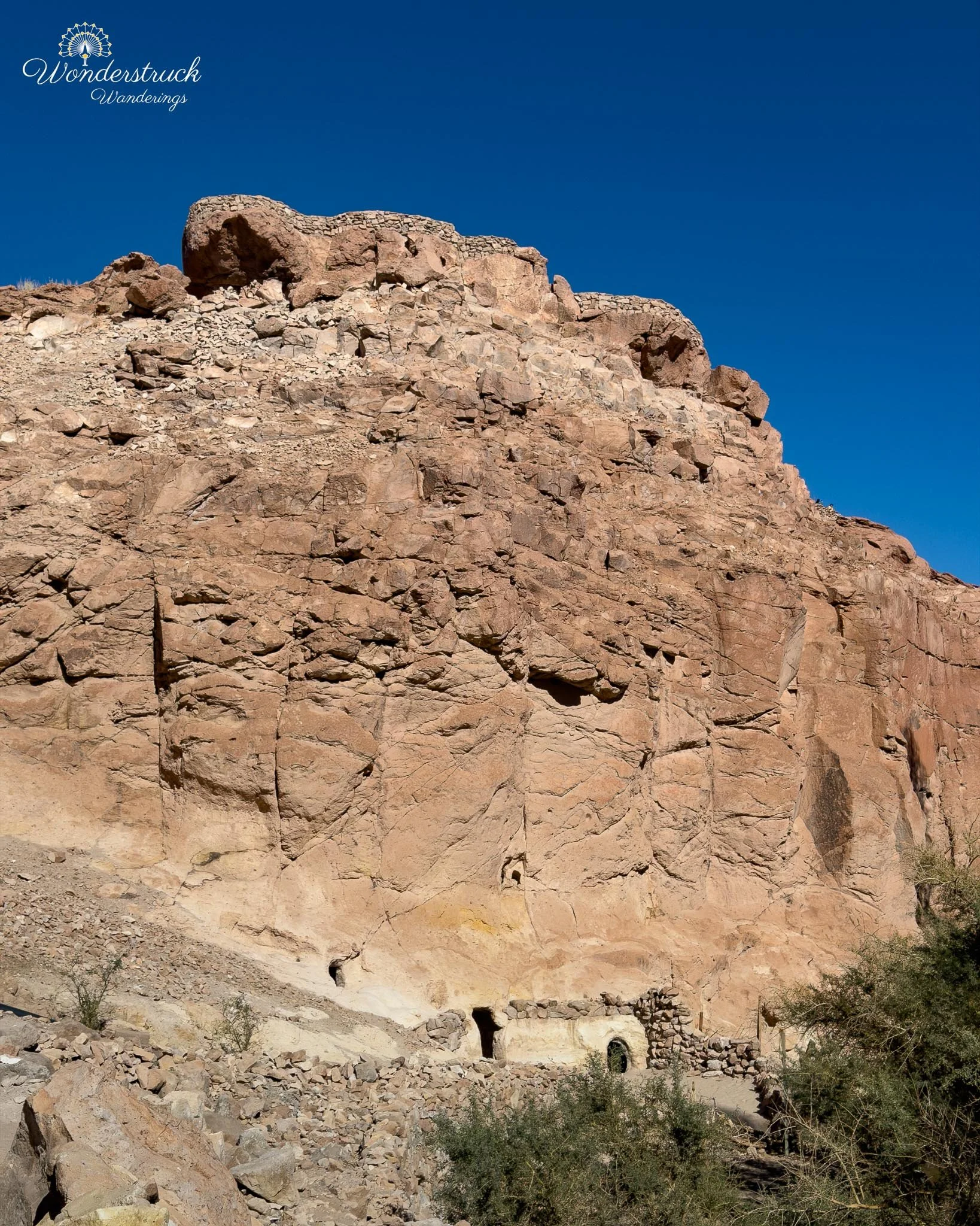
Before we knew it, it was already around 8:30 in the morning. The light was stronger, the early magic was fading, and we still had more birding planned at Jere Canyon, near Toconao. The drive from Laguna Chaxa to Toconao shifted us from salt-flat habitat toward a desert oasis. Toconao sits southeast of San Pedro near the edge of the Salar de Atacama, and the surrounding terrain has that classic Atacama contrast: dry slopes, pale earth, volcanic backdrops, and then sudden pockets of water-fed green. Before entering the canyon, the area already felt different from the wide-open salt flats. There were rock-cut dwellings and old structures built into or along the hillside, a reminder that this oasis has been used and shaped by people for a long time. The carved rock spaces and hillside houses gave the place a lived-in, historical texture rather than the empty-scenery feeling some desert stops can have. Our Laguna Chaxa ticket was part of a combo that included Jere Canyon, so after following the signs and checking in, we parked and started walking along the river. The site was being updated, with workers around, but it was easy to see how it could be a nice picnic place for local families. For us, arriving in the morning meant we had the canyon mostly to ourselves, apart from a few workers. That made it perfect for quick birding.
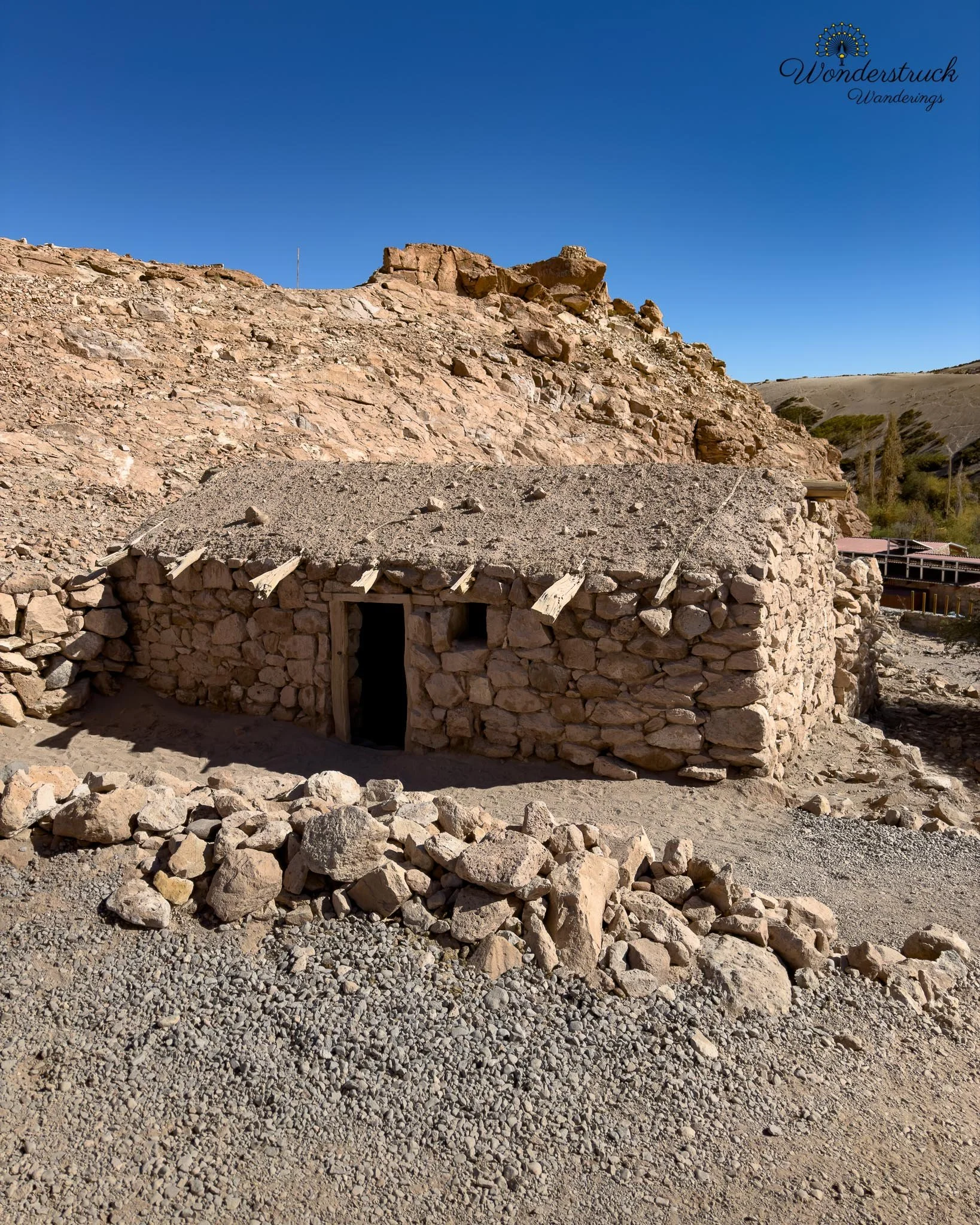
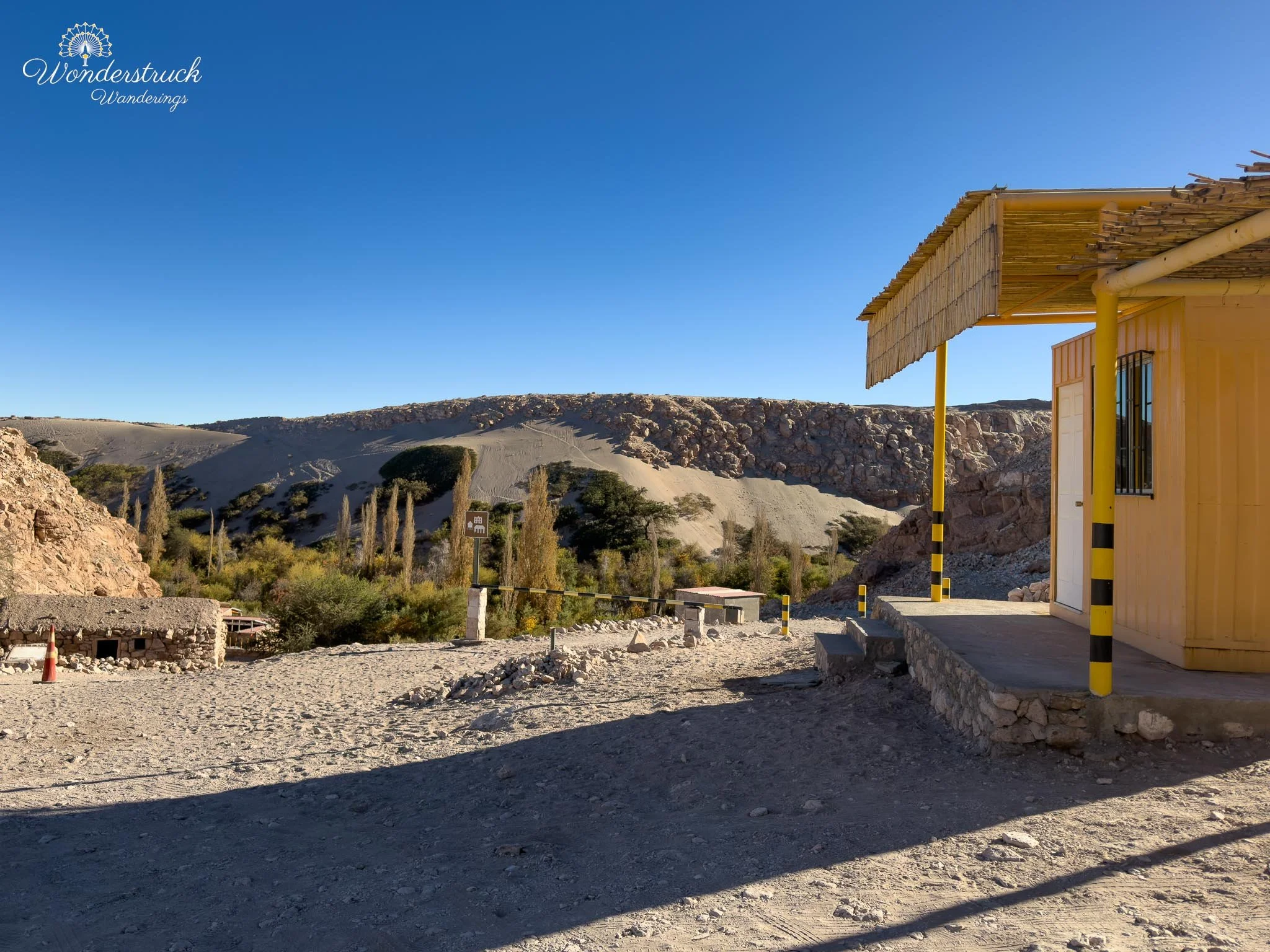
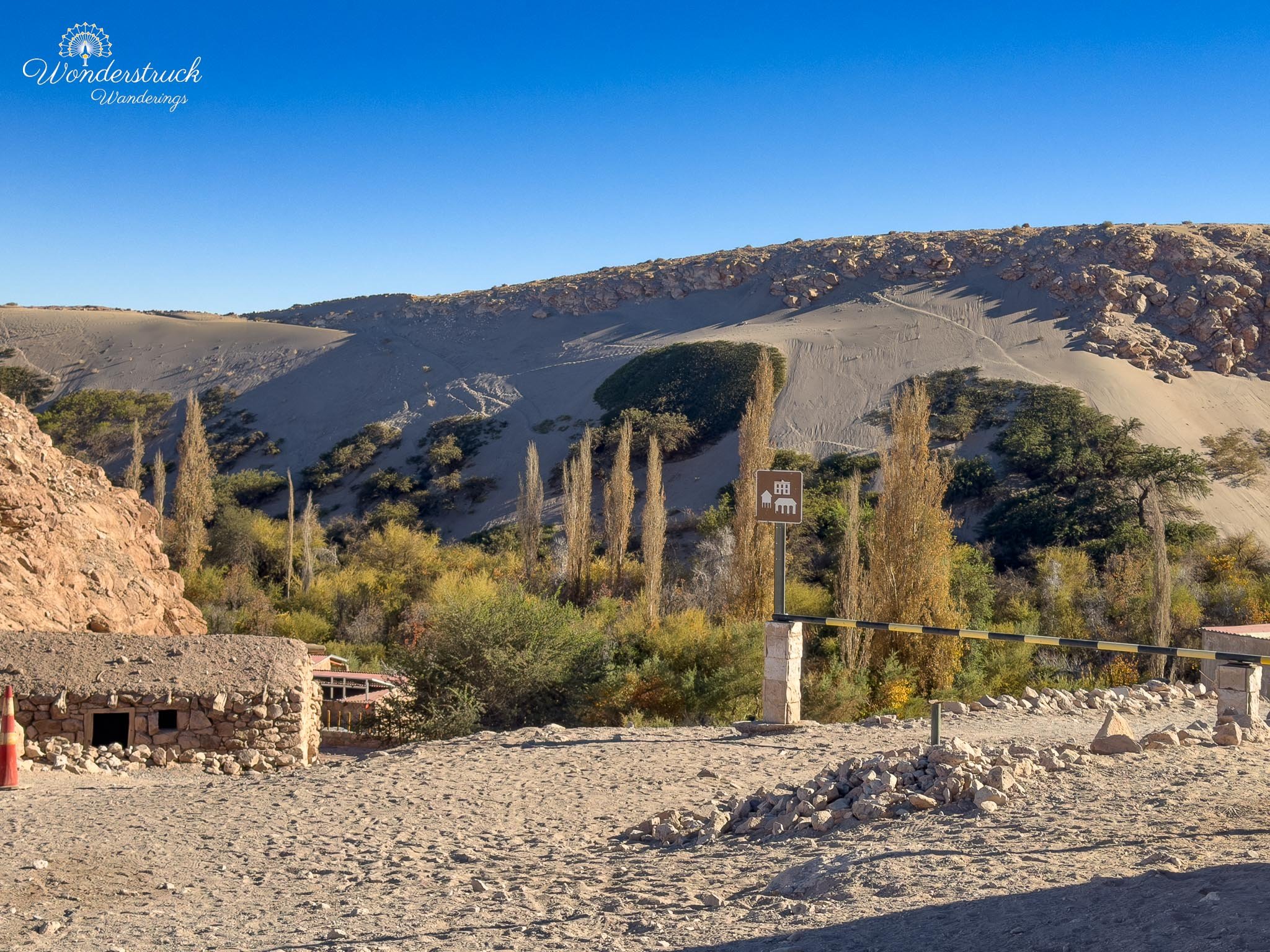
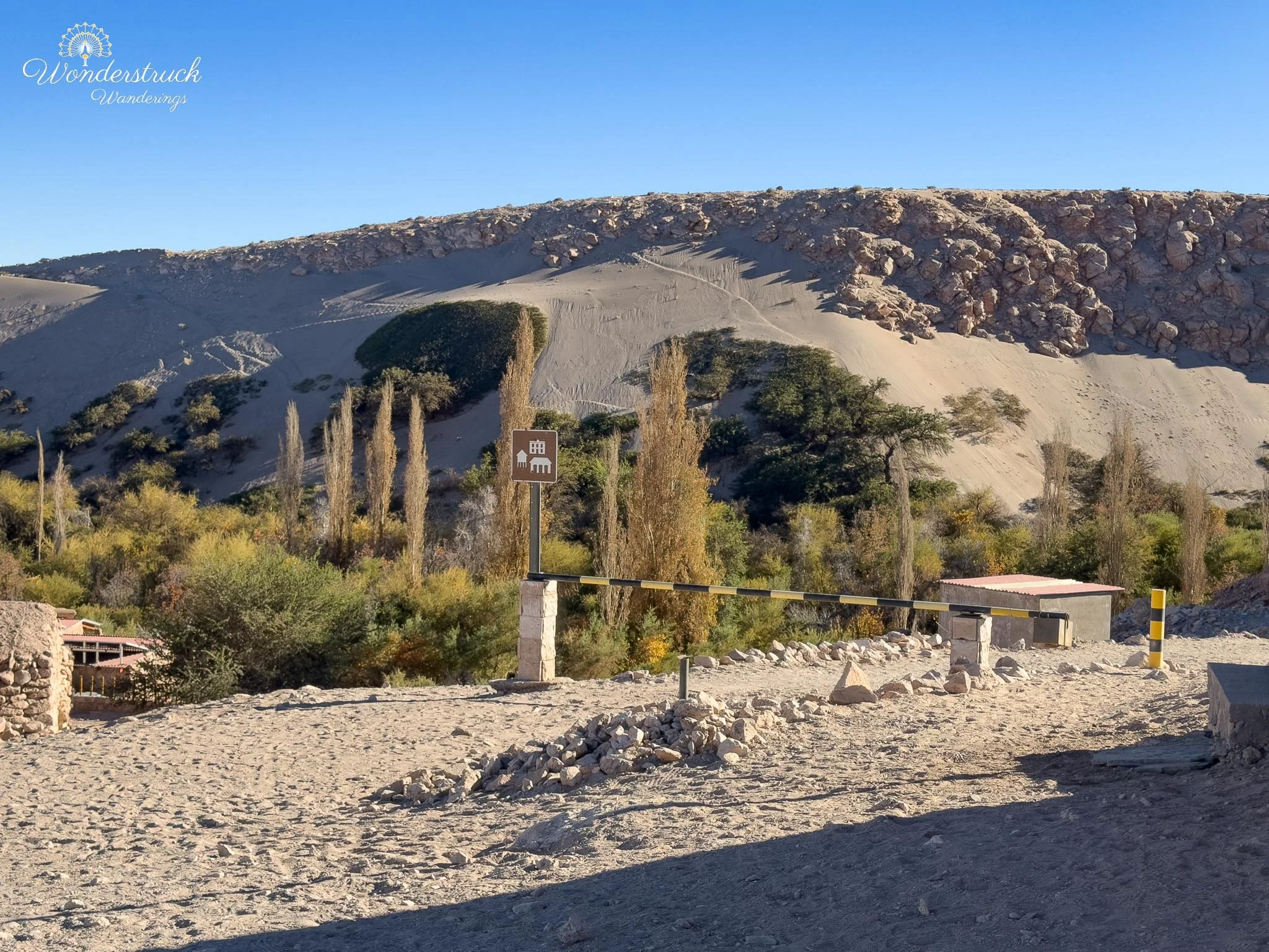
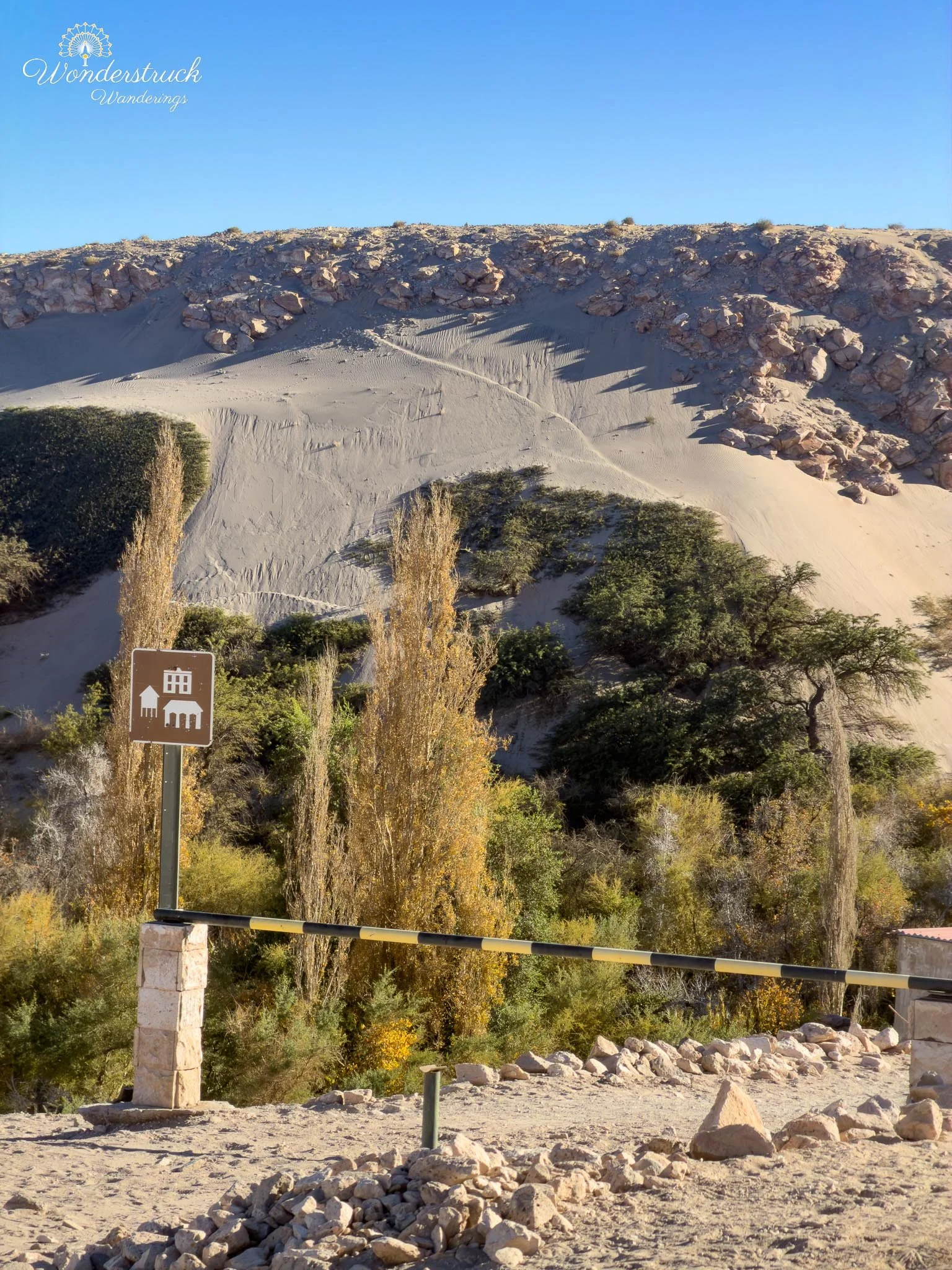
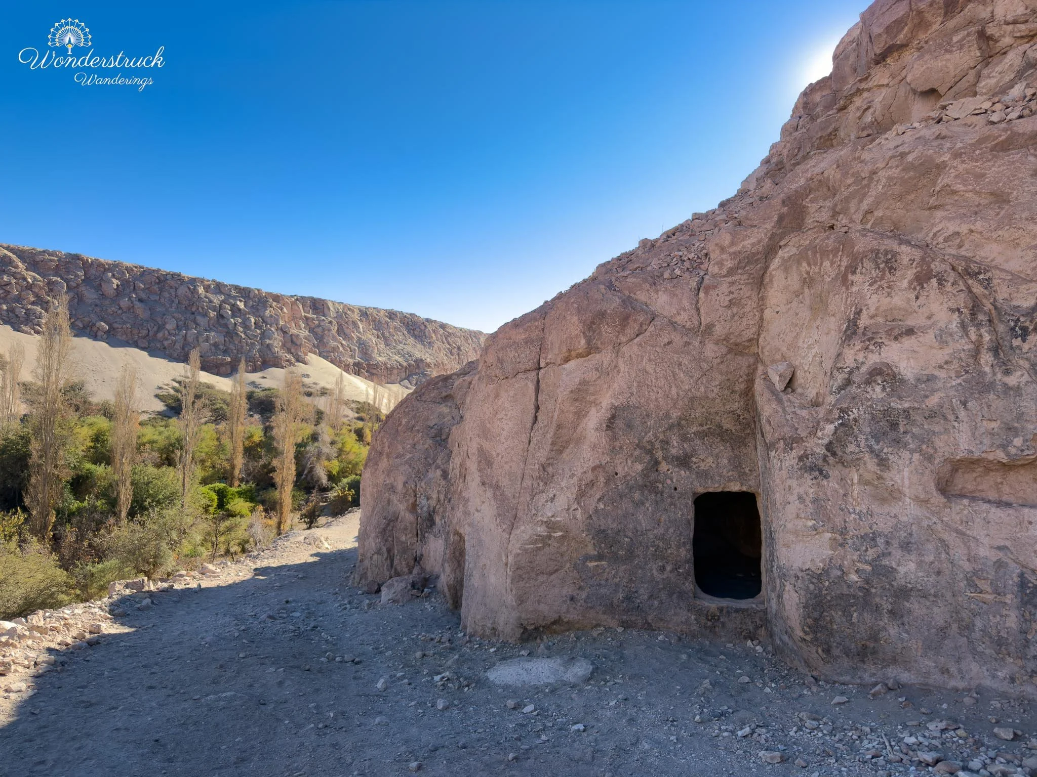
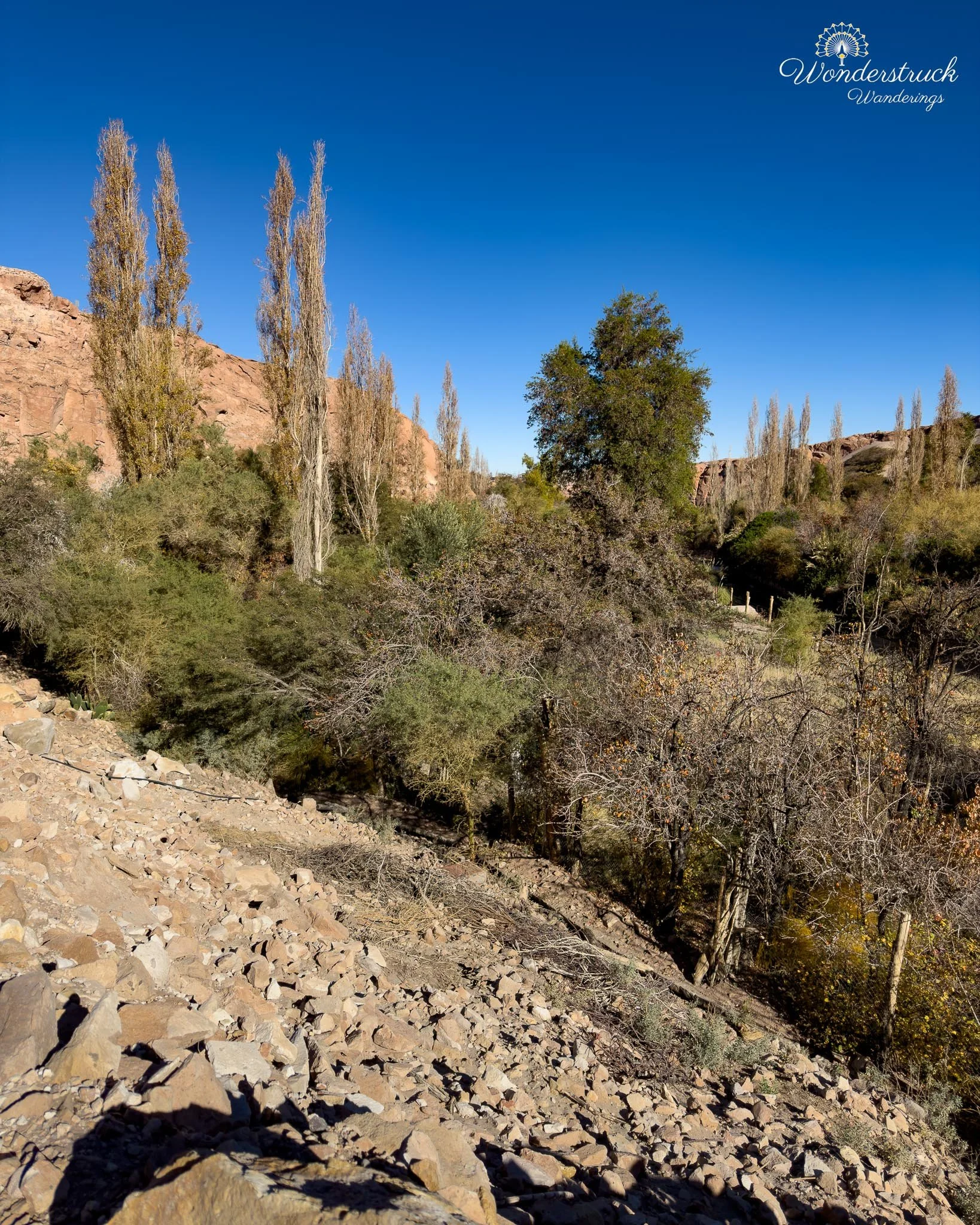
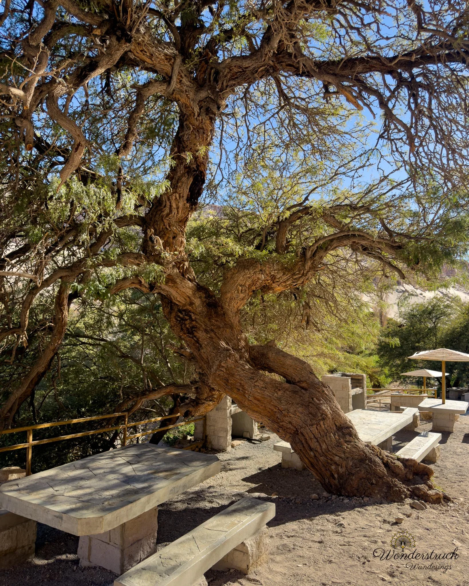
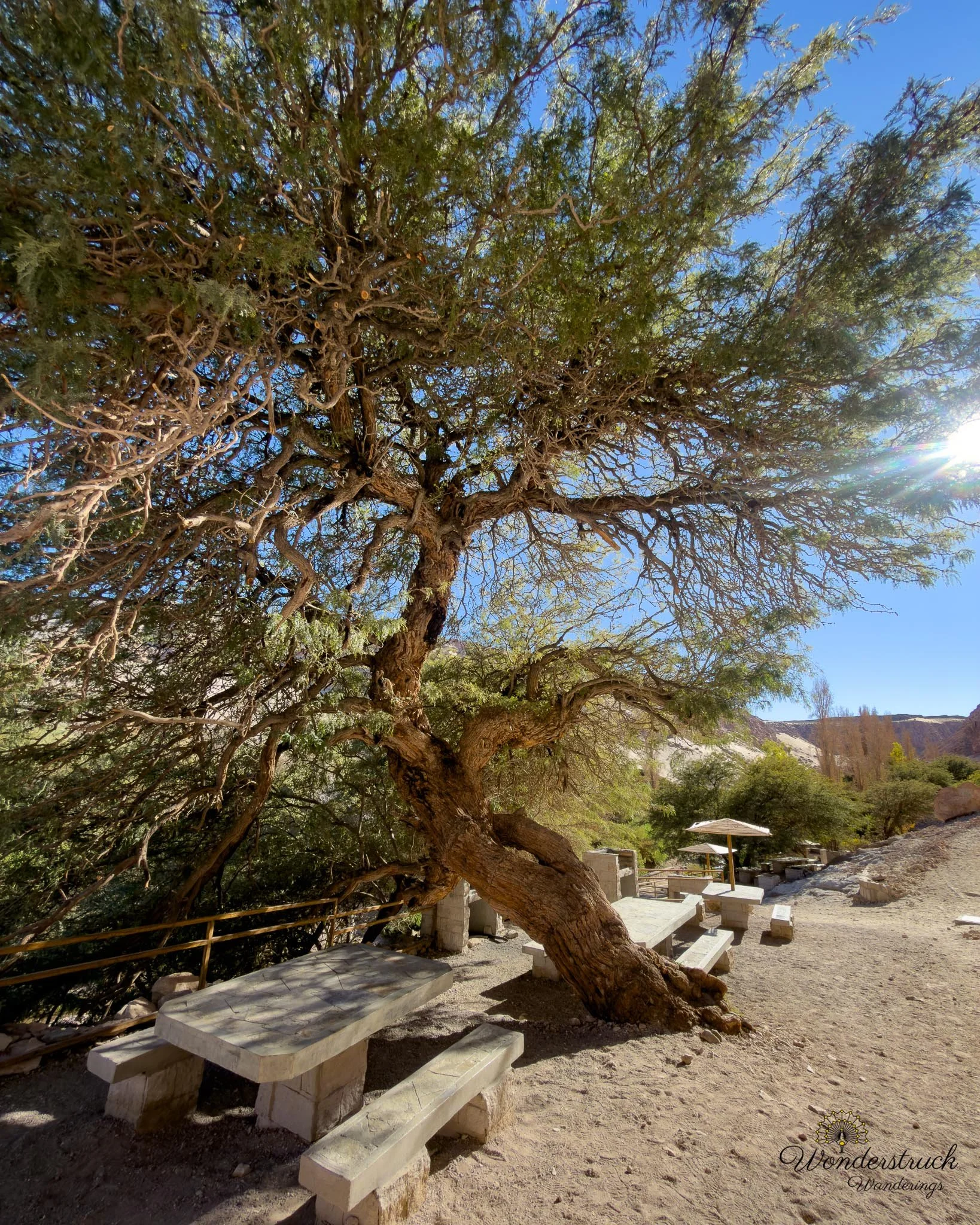
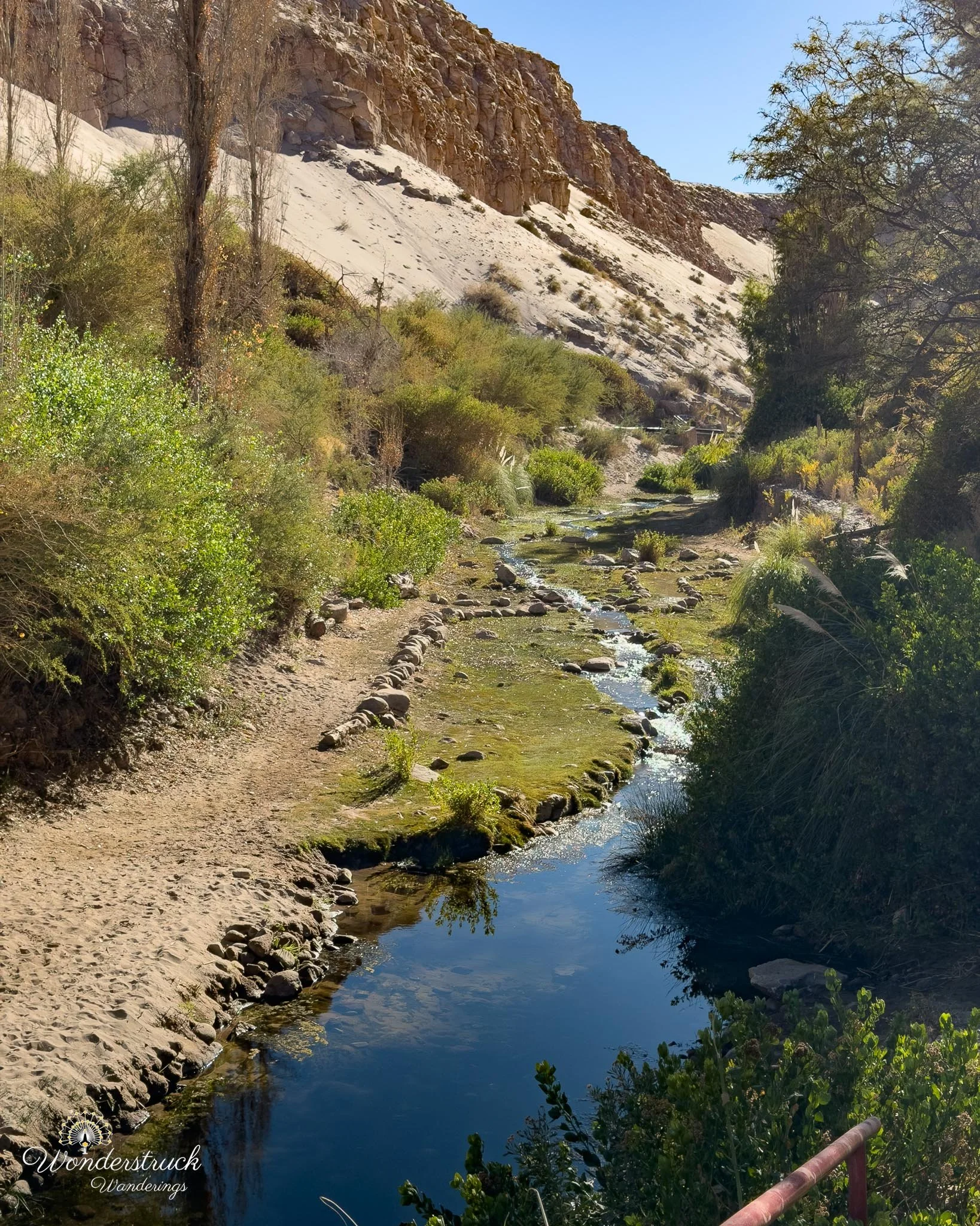
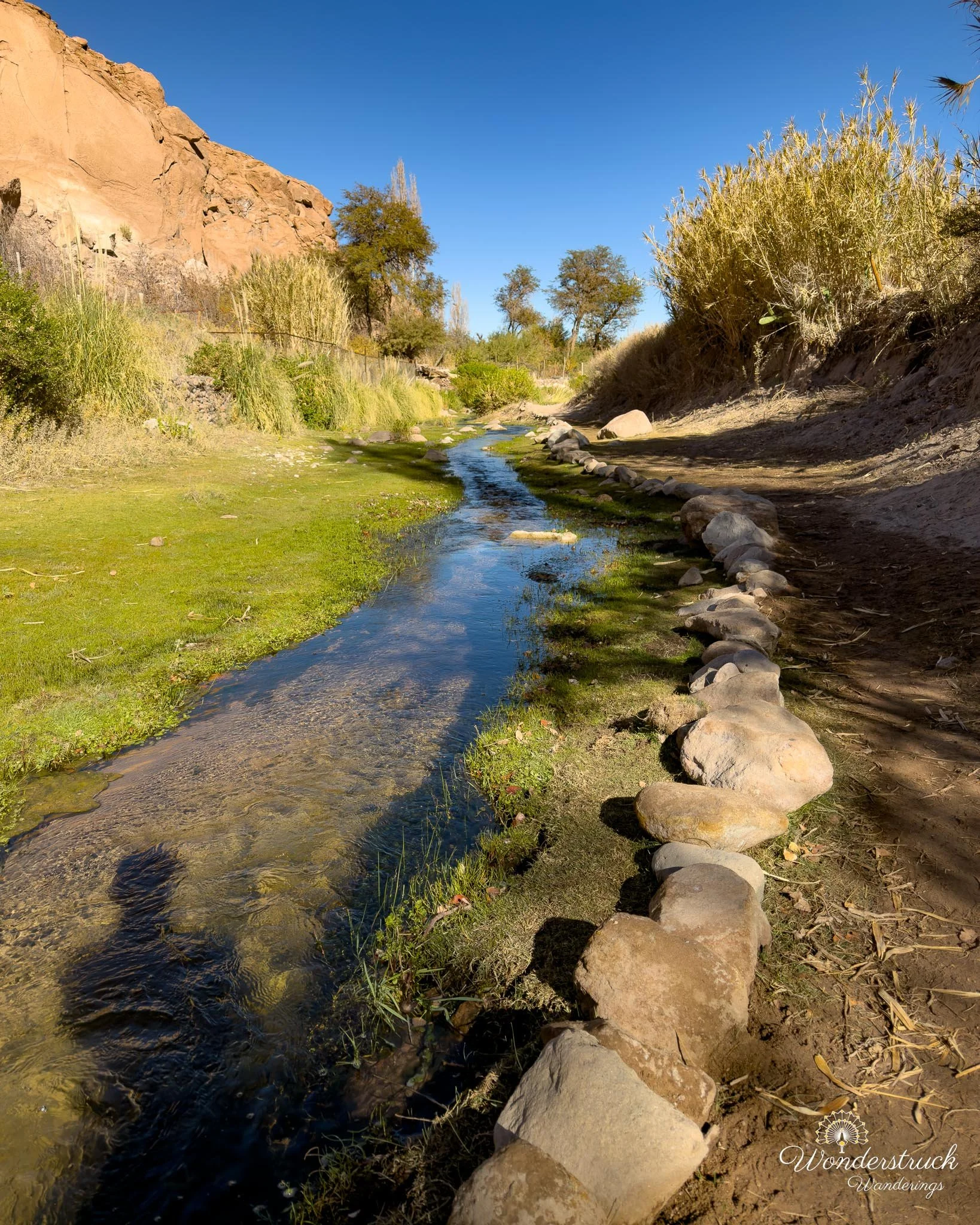
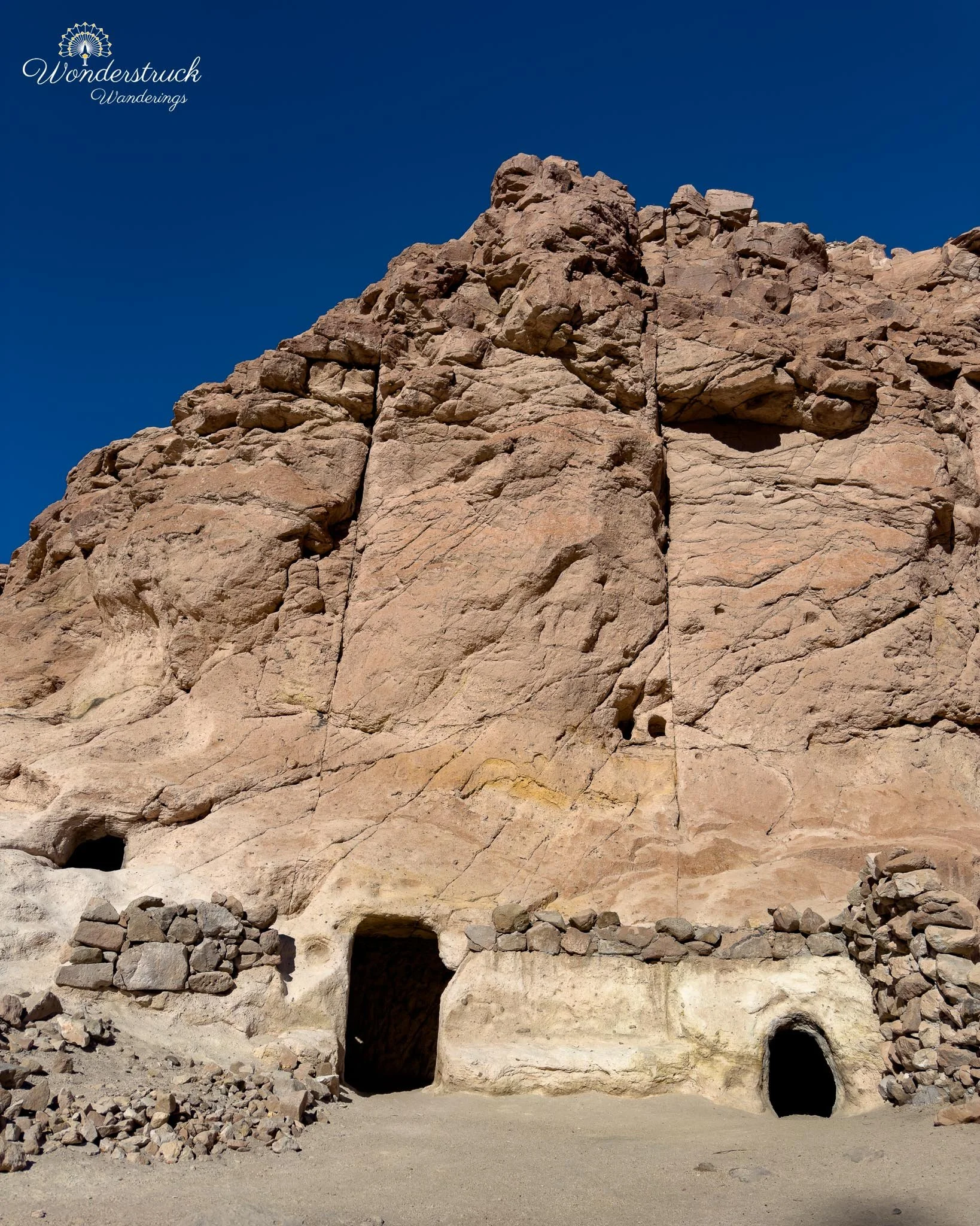
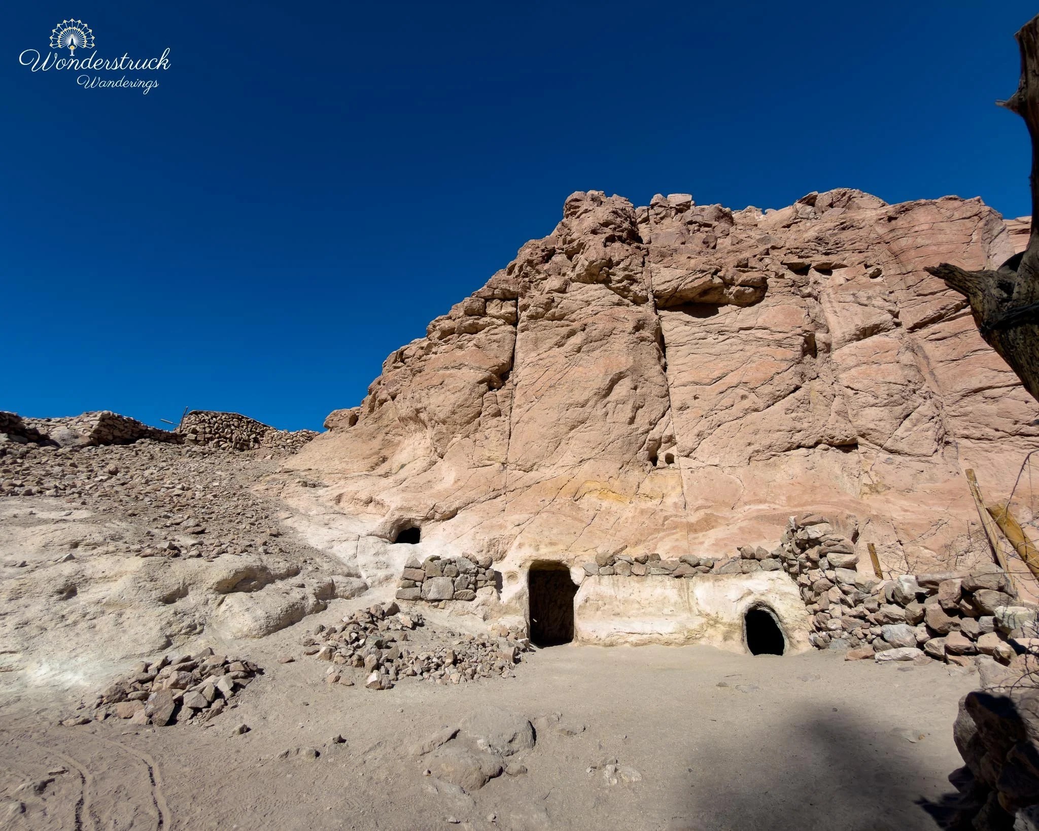
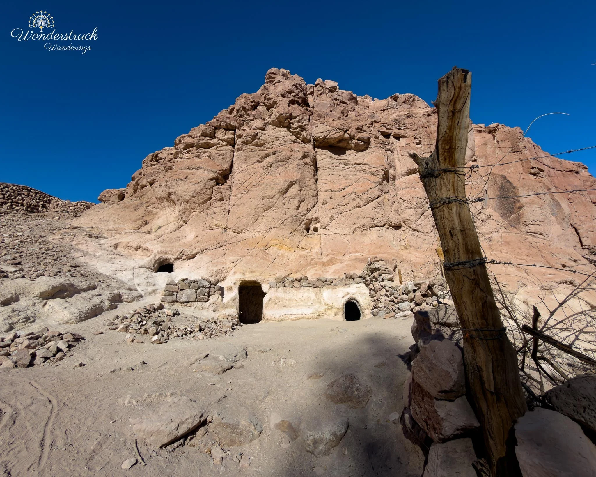
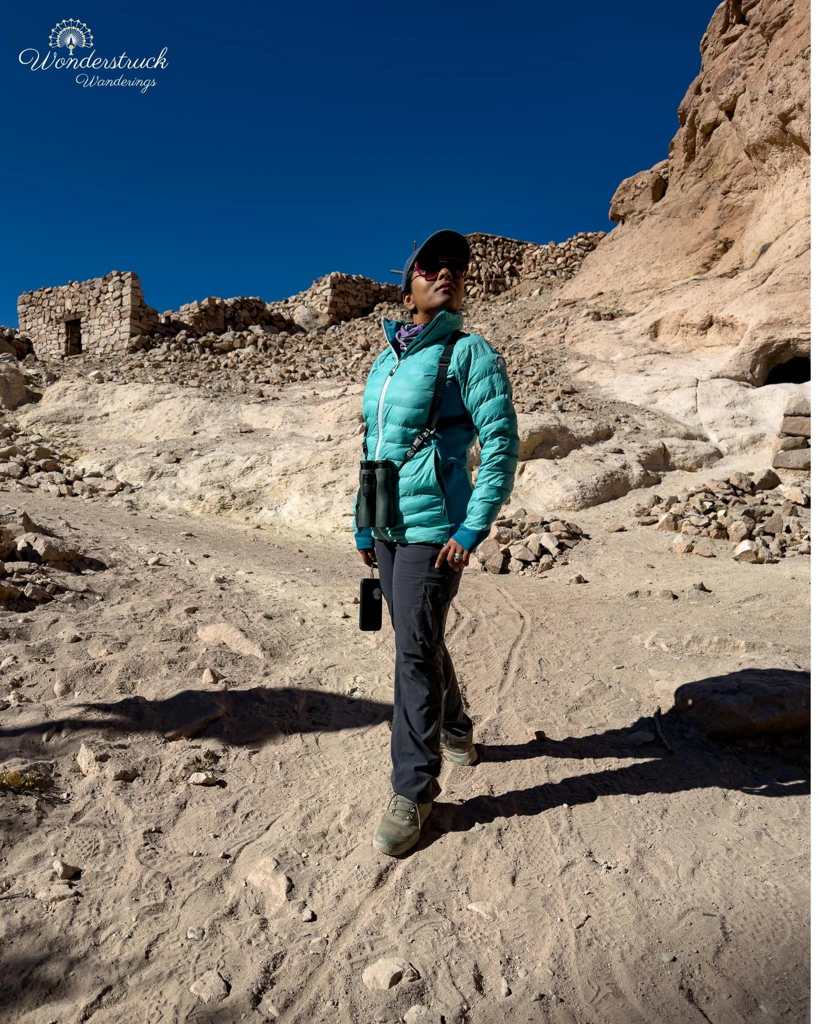
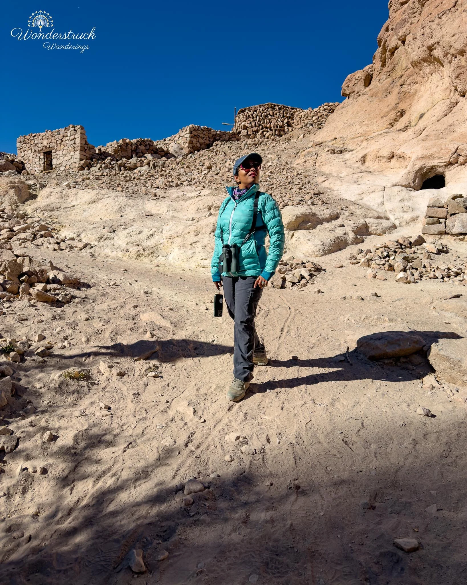
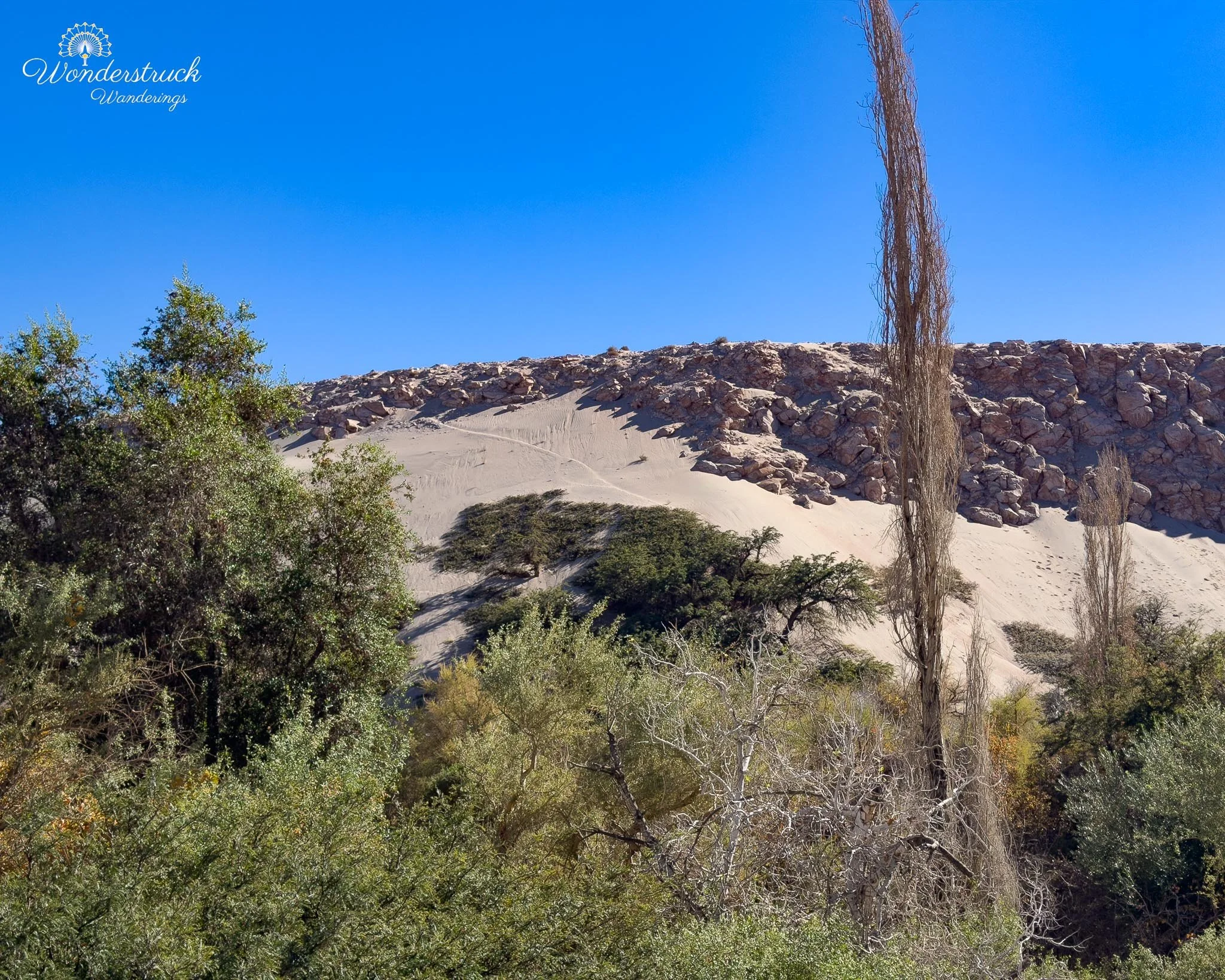
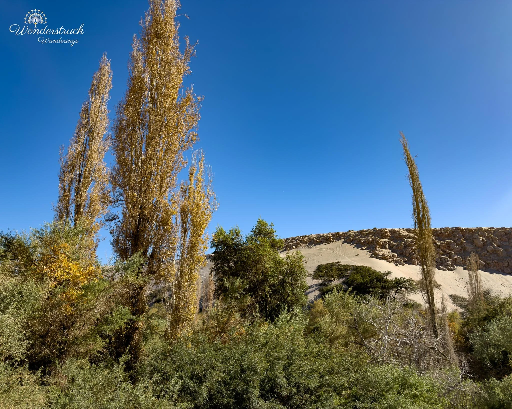
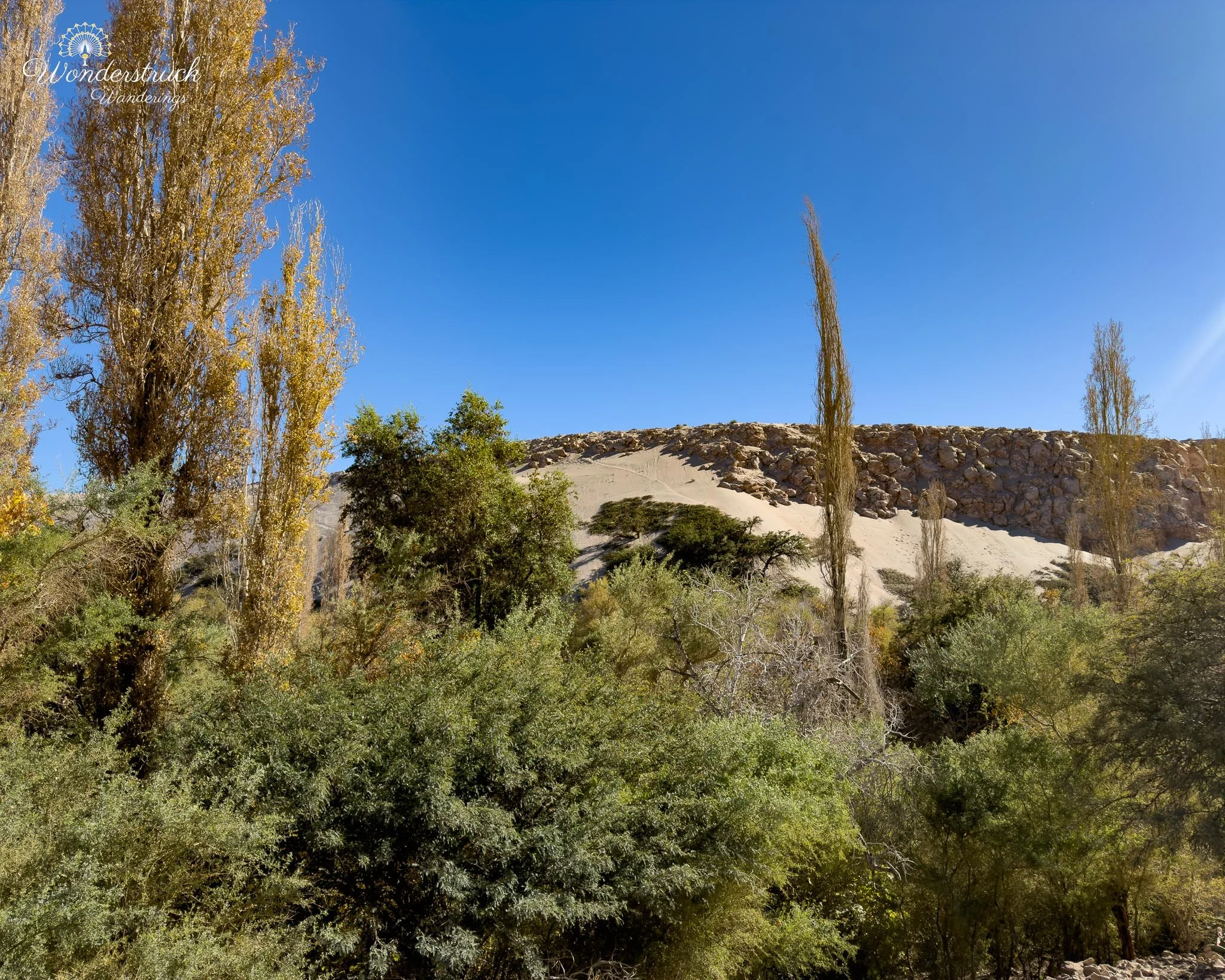
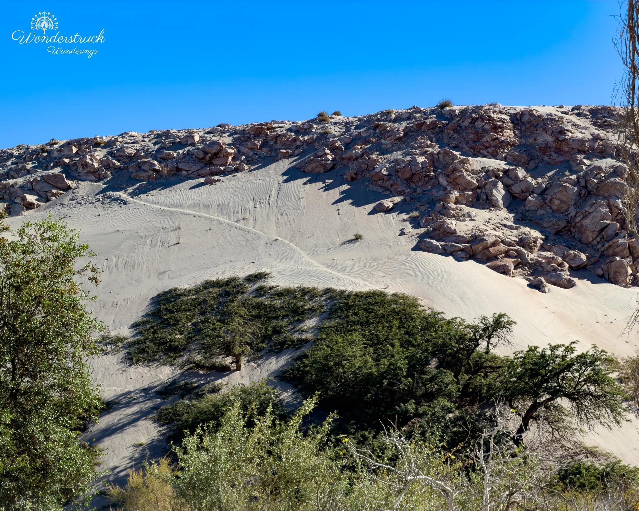
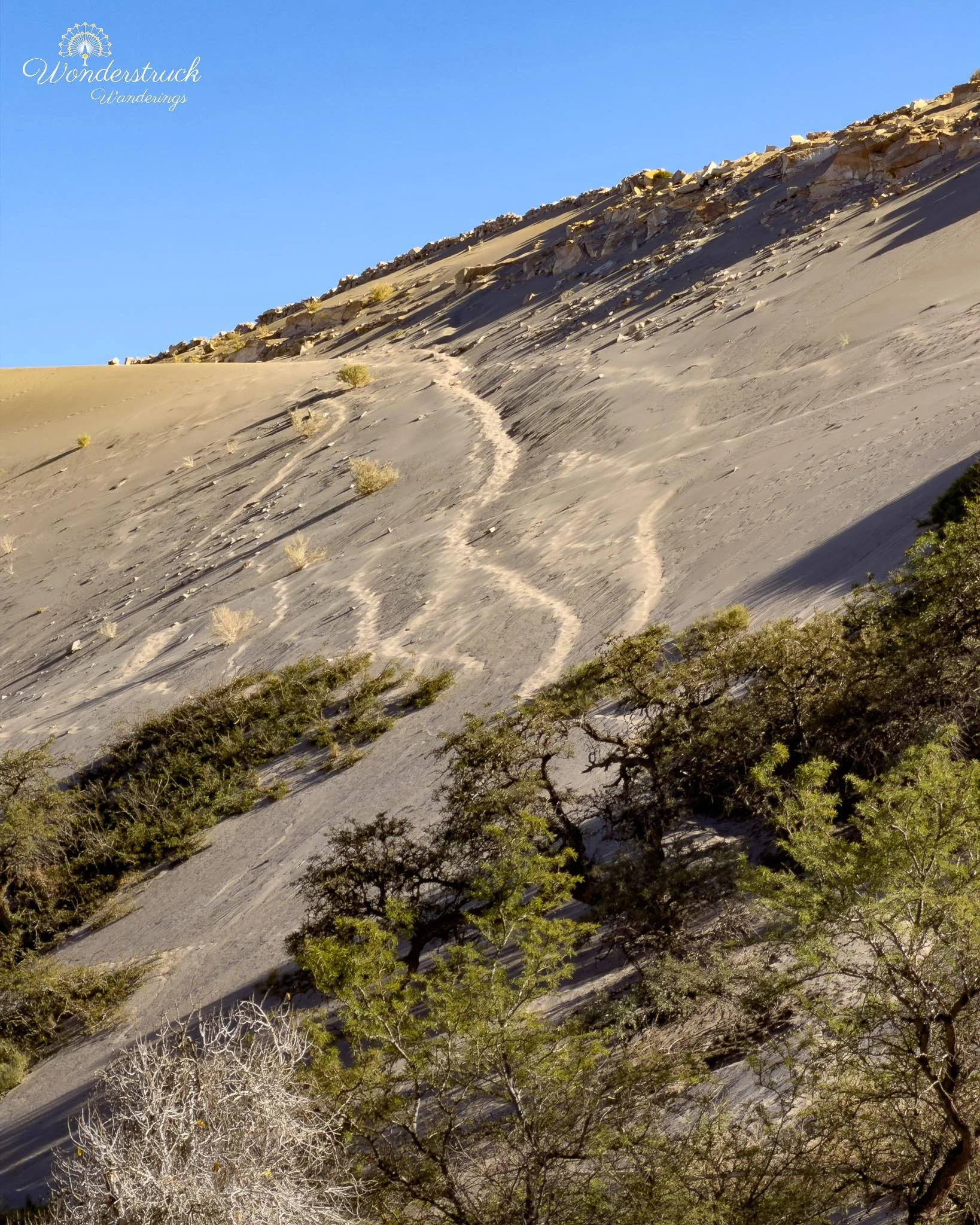
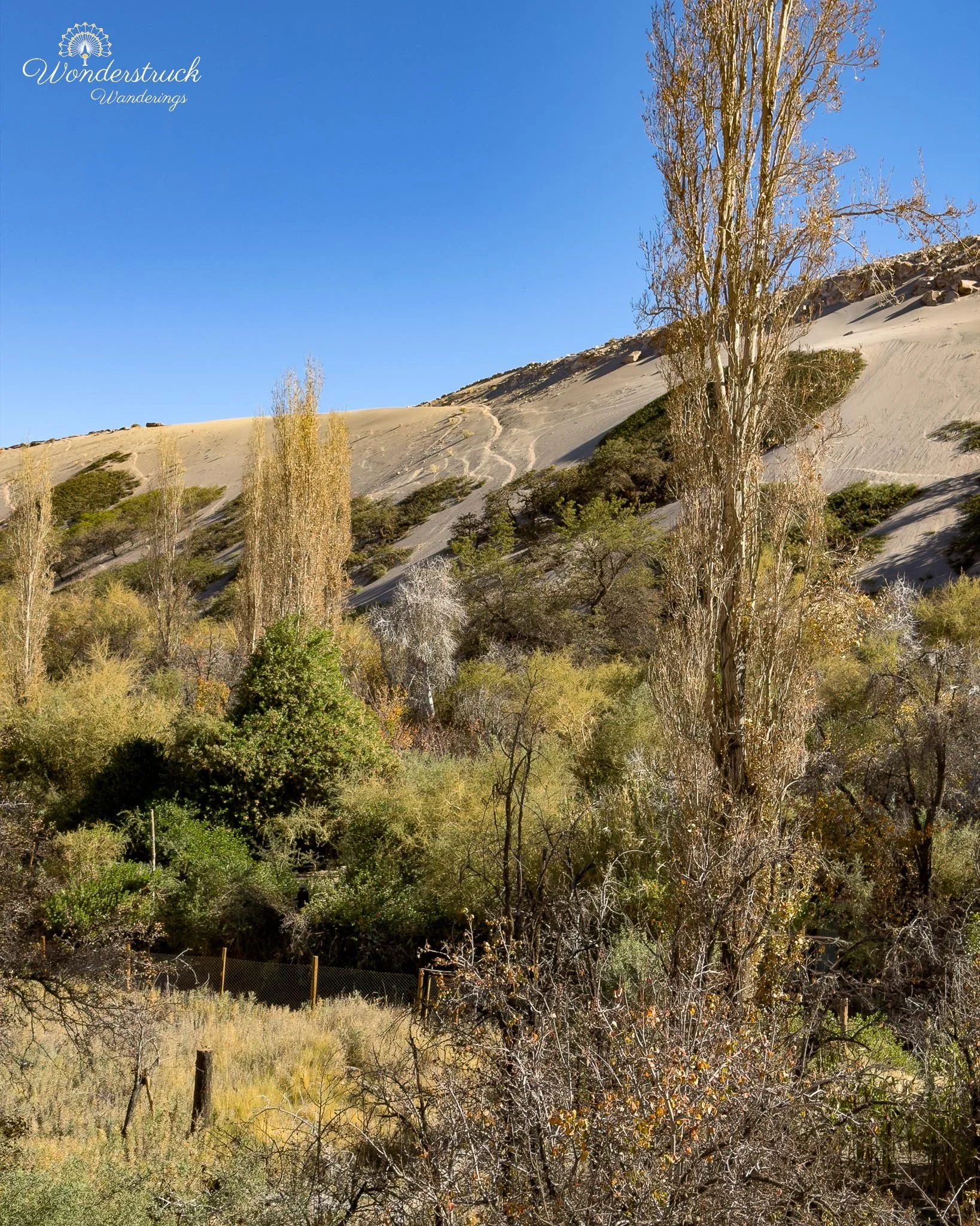
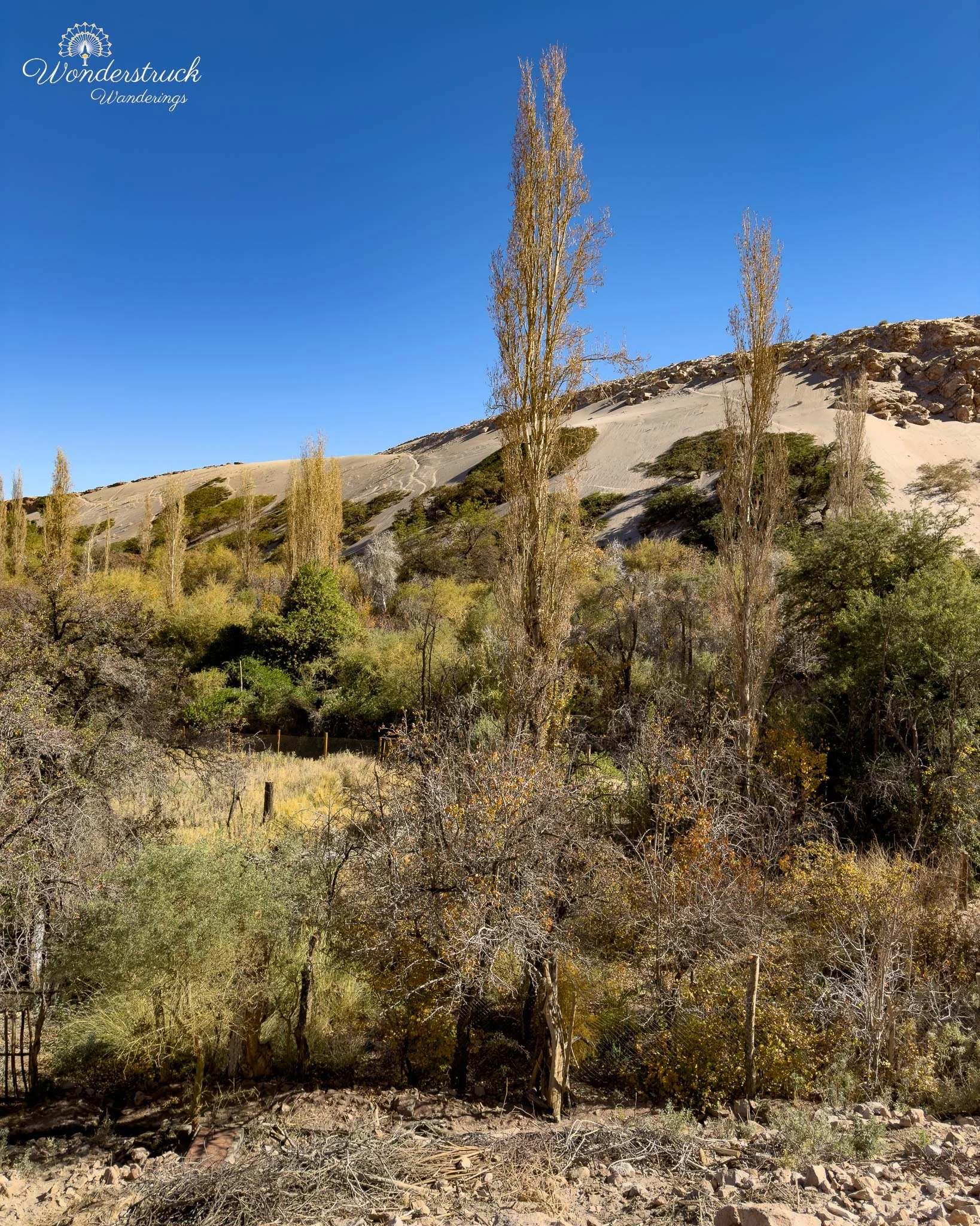
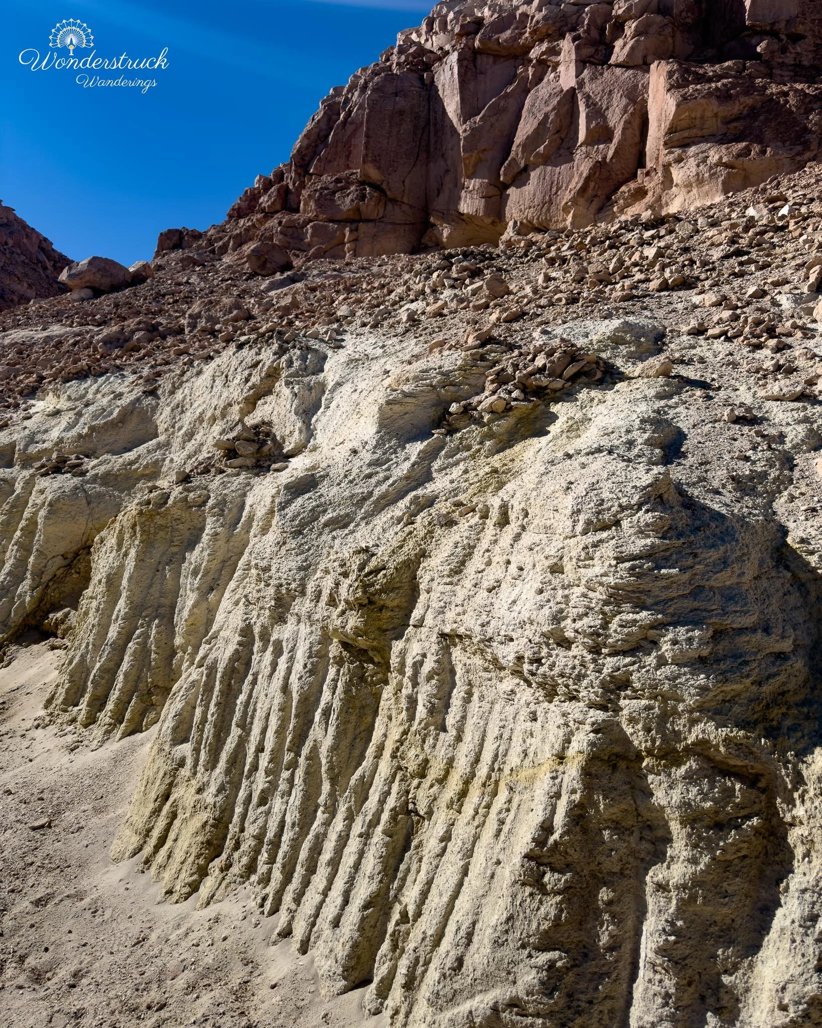
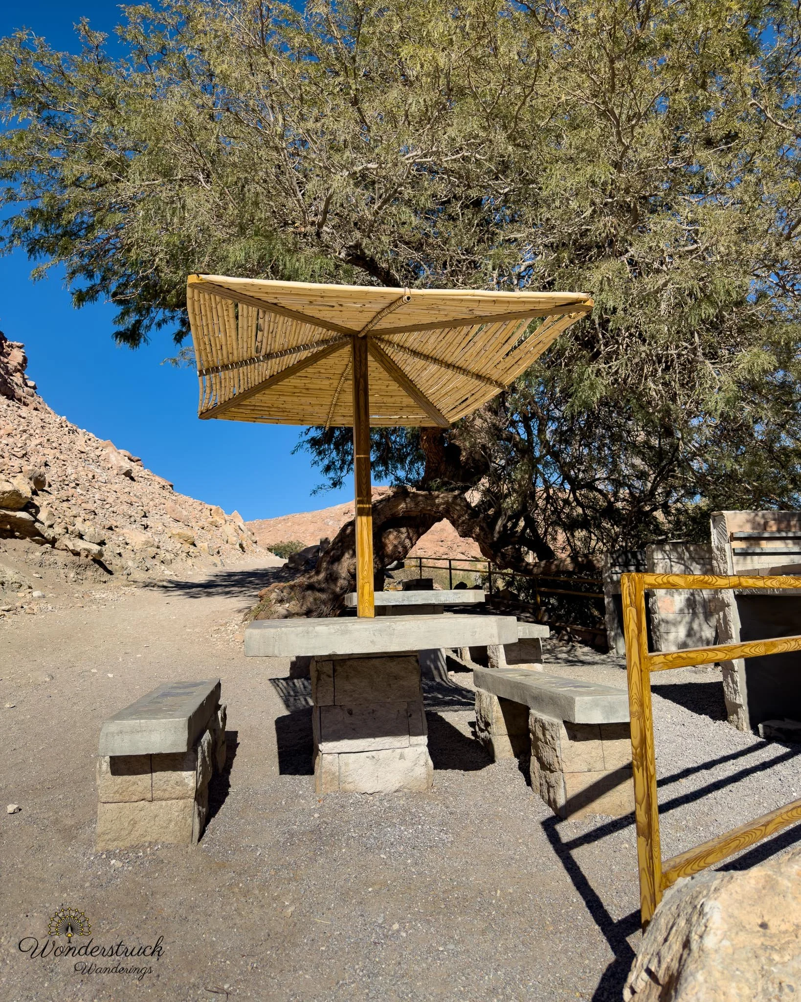
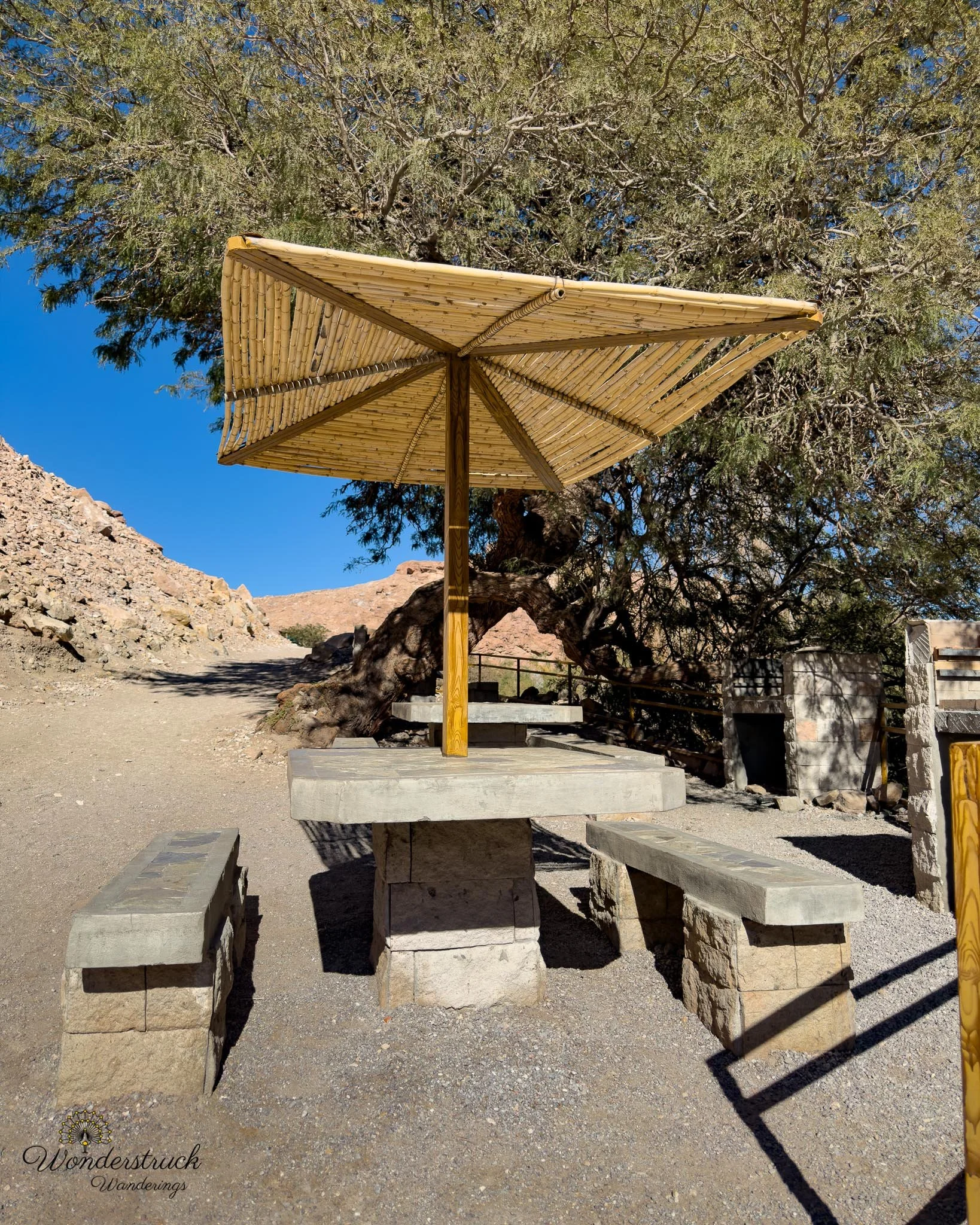
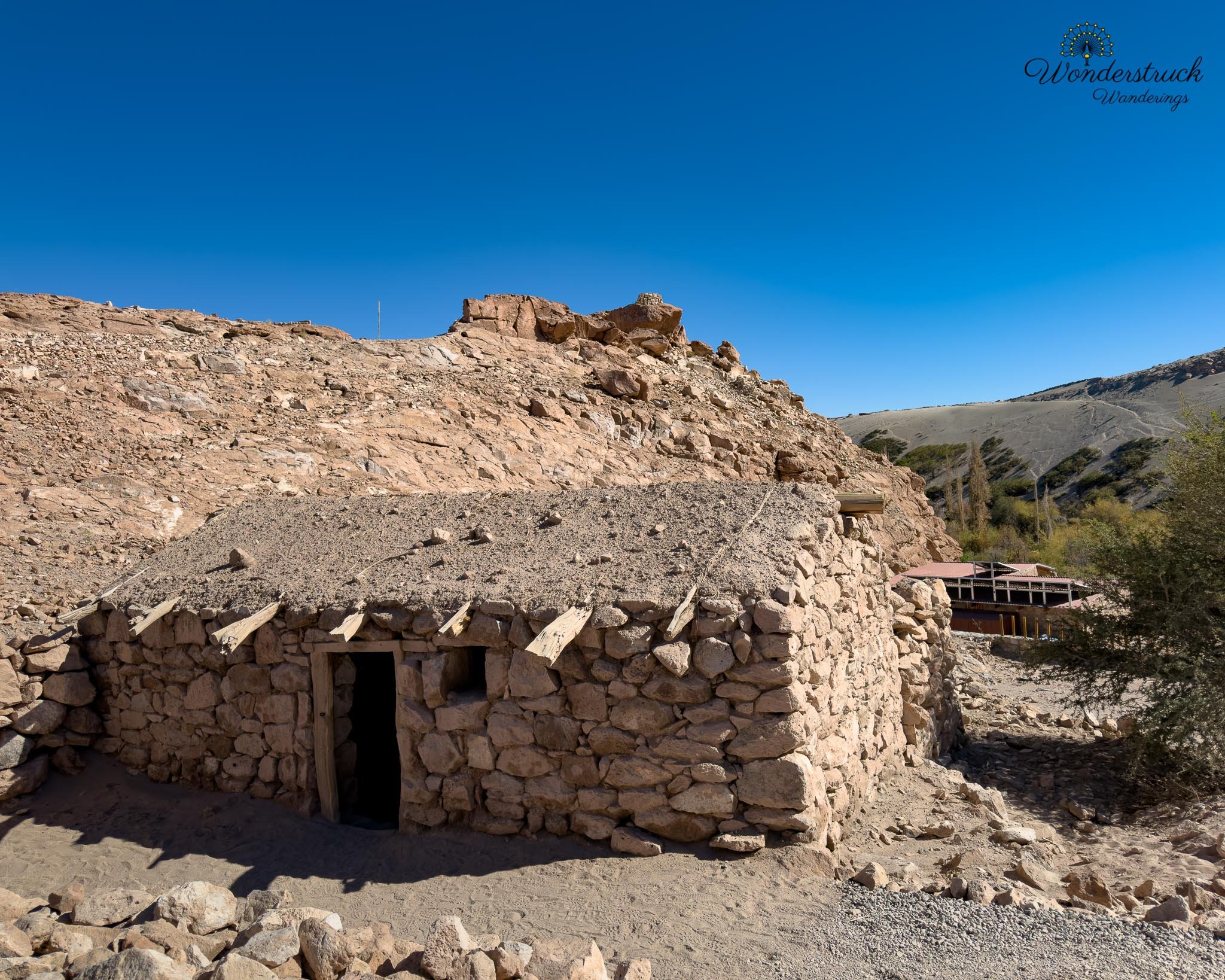
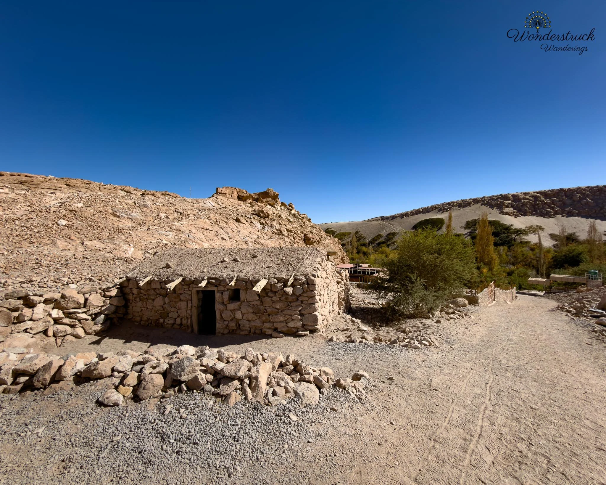
Jere Canyon was a complete habitat shift. After the open, bright, salty world of Laguna Chaxa, this was narrow, green, shaded, and intimate. Instead of salt crust, shallow lagoons, and flamingos in the distance, we were suddenly in an oasis canyon where water, trees, cultivated edges, and rock walls created a completely different kind of desert life. We first walked along the higher trail, staying above the canyon floor and scanning the vegetation, rocky edges, and patches of movement below us. From that slightly elevated position, the oasis made more sense. You could see how the green ribbon of life followed the water through the dry landscape, with the surrounding desert pressing in from every side. Birds moved in and out of the trees, across the scrubby edges, and along the canyon walls, sometimes appearing only for a second before disappearing back into the shade. After working the higher ground, we dropped down toward the canyon floor and walked along the stream through Quebrada de Jere. This lower section felt even more alive. A small flow of water moved through the canyon, vegetation crowded the edges, and the shade made the place feel cooler and more protected than the open salar. In a desert this dry, even a modest stream becomes a magnet for life. Every little pocket of greenery seemed worth checking.
Birding here was excellent because the habitat was so different from the salt flat. We picked up Black-winged Ground Dove, West Peruvian Dove, Eared Dove, White-winged Cinclodes, Plain-mantled Tit-Spinetail, Chiguanco Thrush, Rufous-collared Sparrow, Tamarugo Conebill, Ash-breasted Sierra Finch, and Greenish Yellow-Finch. The doves worked the quieter edges, the finches and sparrows moved through the scrub, and the White-winged Cinclodes felt especially fitting near the water and rock. After the wide-open flamingo landscape of Chaxa, Jere Canyon gave us the opposite Atacama birding experience: close, shaded, layered, and full of small movements.
Socaire, Empanadas, and the Altiplanic Lagoons
Around 10:30 a.m., we left Jere Canyon and continued toward Socaire to check in for our Altiplanic Lagoons and Piedras Rojas visit. From the Toconao / Jere area, Socaire is roughly 30 to 35 kilometers farther south, usually about 30 to 40 minutes by car depending on pace. By then, we had already moved well beyond the quick-outing radius of San Pedro and were settling into the longer southern Atacama route: salt flats, oasis villages, volcano views, and then the climb toward the high plateau. We had booked the combo ticket for Lagunas Miscanti y Miñiques and Piedras Rojas, with our first entry around midday. Even with online tickets, the system still requires a physical check-in at the control office in Socaire before continuing to the sites. This is important for self-drivers: do not drive straight to the lagoons assuming your online ticket is enough. The official Socaire site notes that tickets are not purchased at the parks and that visitors need to check in through Socaire; travelers commonly plan to arrive about one hour before the confirmed entry time. Socaire itself sits at roughly 3,200 meters, so even before reaching the lagoons, we had already climbed significantly from San Pedro’s desert basin, which is around 2,400 meters. The check-in office was easy to find, and once the paperwork and orientation were done, we stopped at a local tienda selling empanada de queso. Shay cannot avoid an empanada if she sees one, and this one was more like a large piece of flattened dough filled with cheese, folded over, and fried. It was simple, hot, tasty, and filling—the exact kind of food that makes sense before going higher into the Andes. I stayed with the chocolate croissants we had picked up from La Franchutería the day before.
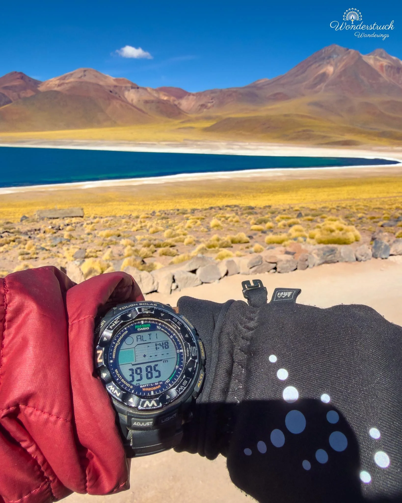
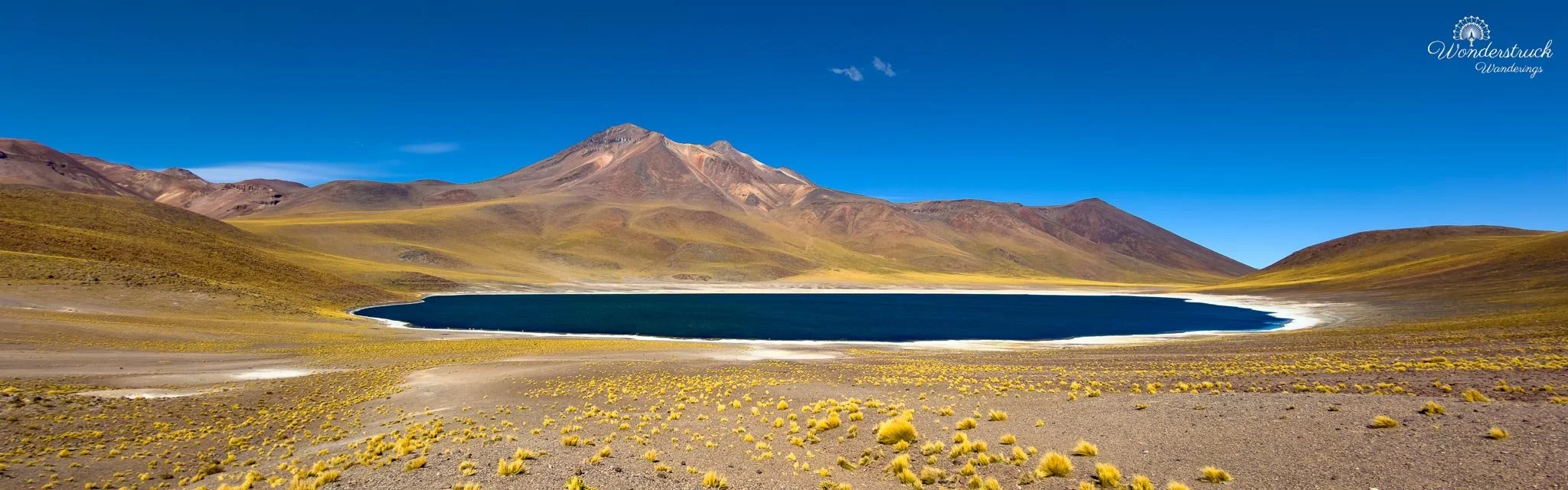
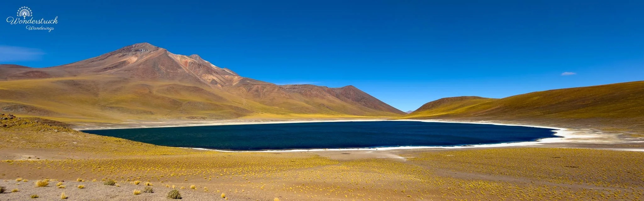
From Socaire, we started the drive toward Lagunas Miscanti y Miñiques, which are roughly 20 to 30 kilometers beyond Socaire and about 110 kilometers southeast of San Pedro de Atacama overall. This section is one of the most beautiful drives out of San Pedro. The road leaves the oasis village and climbs from the lower desert into the high Andes, with the scenery changing quickly: dry basin, volcanic slopes, yellow puna grasses, open sky, and then the deep blue high-altitude lakes held below the cones of the Miscanti and Miñiques volcanoes. The lagoons sit at around 4,000 to 4,200 meters, so the altitude becomes part of the experience, not just a number on a map. Once we checked in and completed the orientation, we continued into the site. The speed limit here is 20 km/hr, and it is strictly enforced. That might feel slow at first, especially after a long morning of driving, but the setting deserves that pace anyway. At this elevation, everything feels sharper and more exposed: the wind, the light, the silence, the color of the water, and the dark volcanic slopes around the lagoons. Driving slowly gives you time to absorb the shift from the salt-flat world below to the high-altitude puna above.
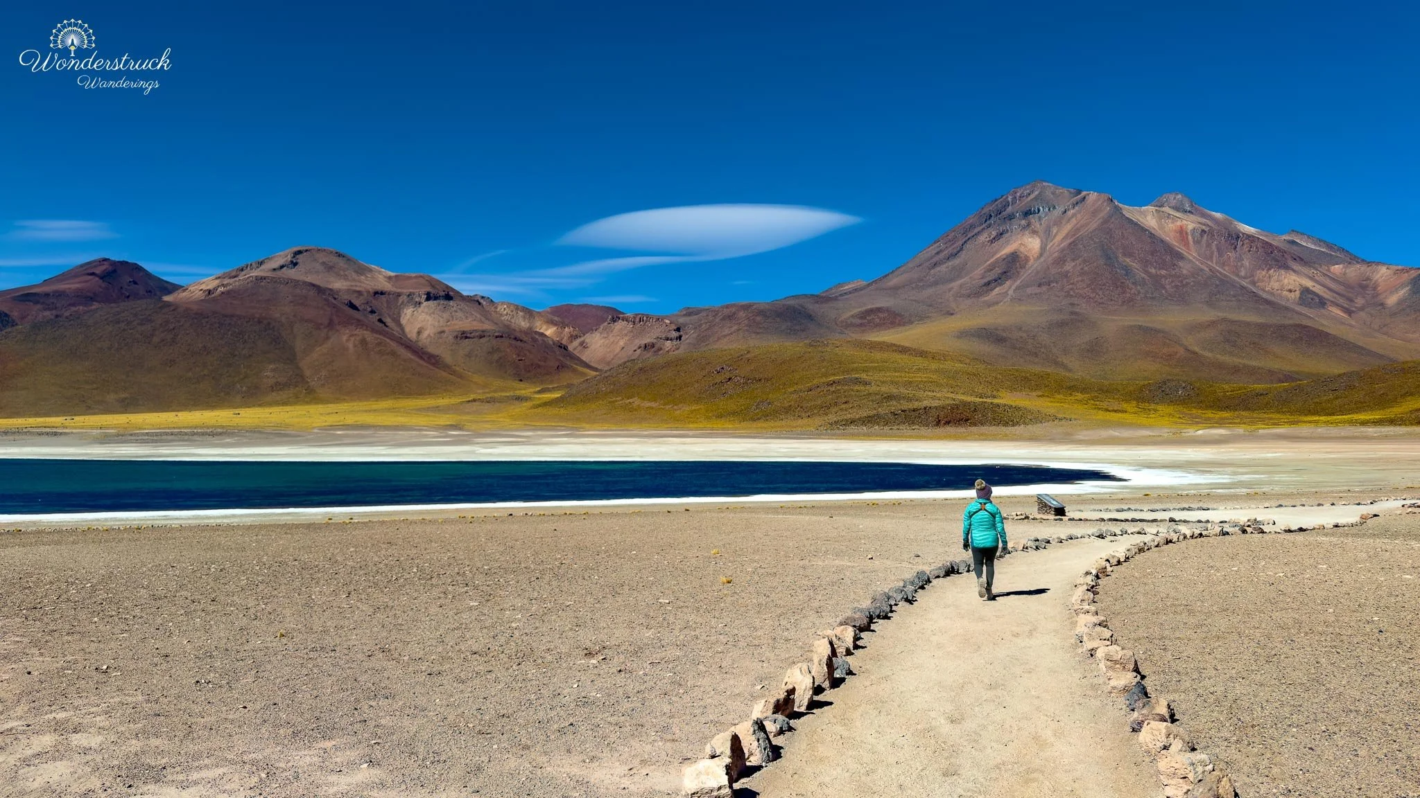
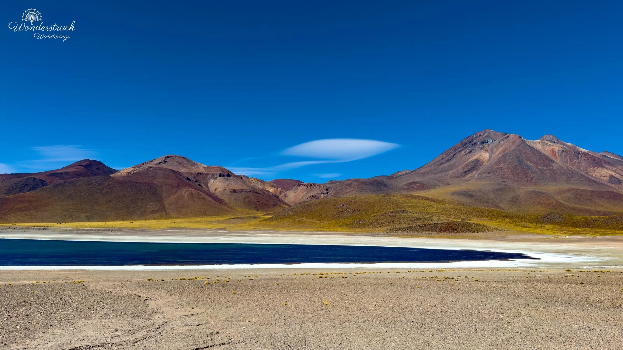
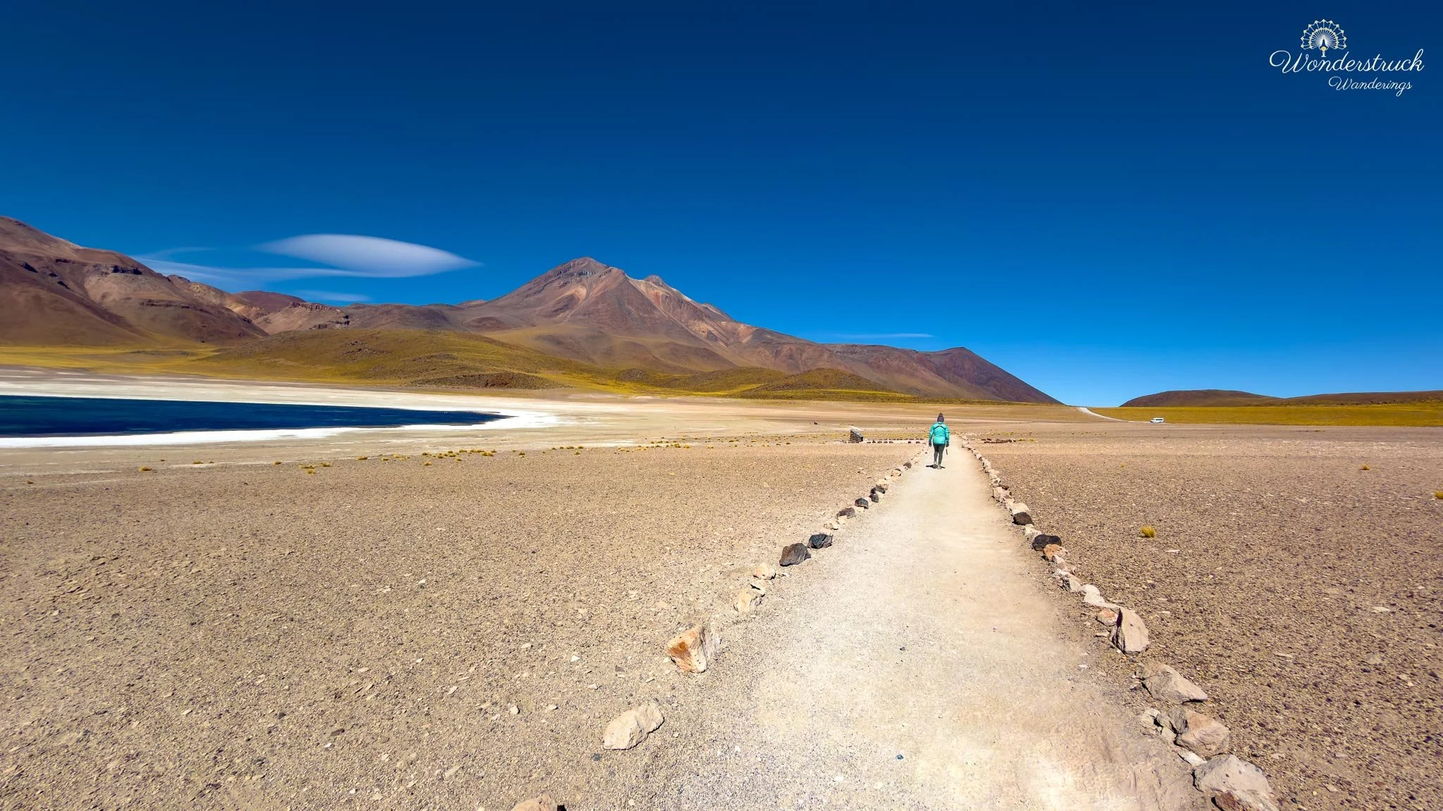
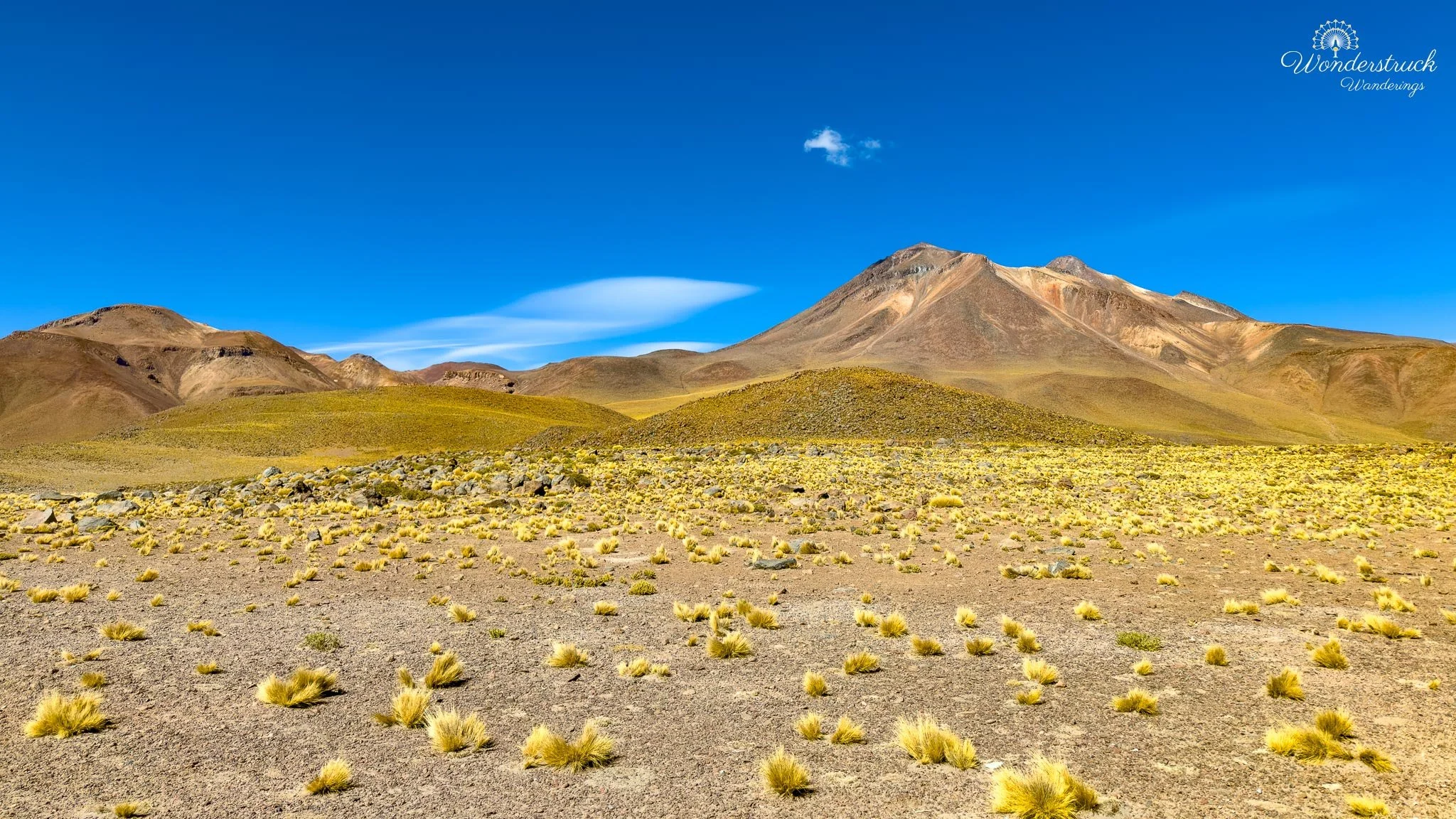
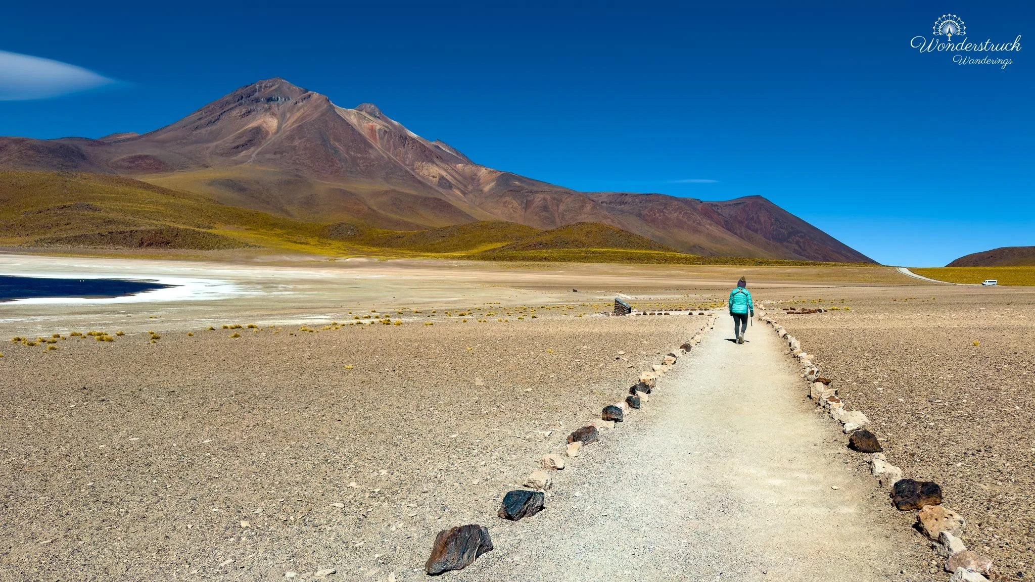
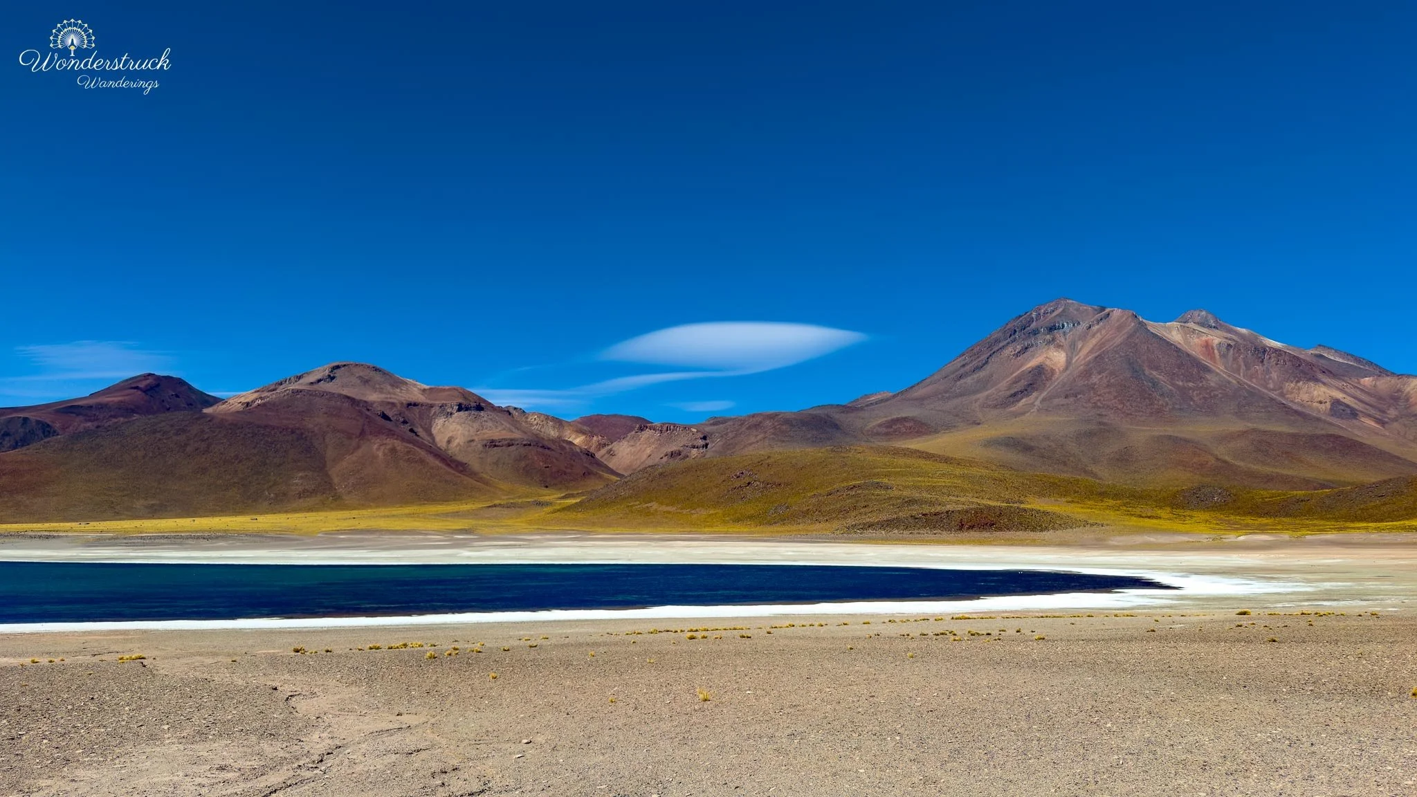
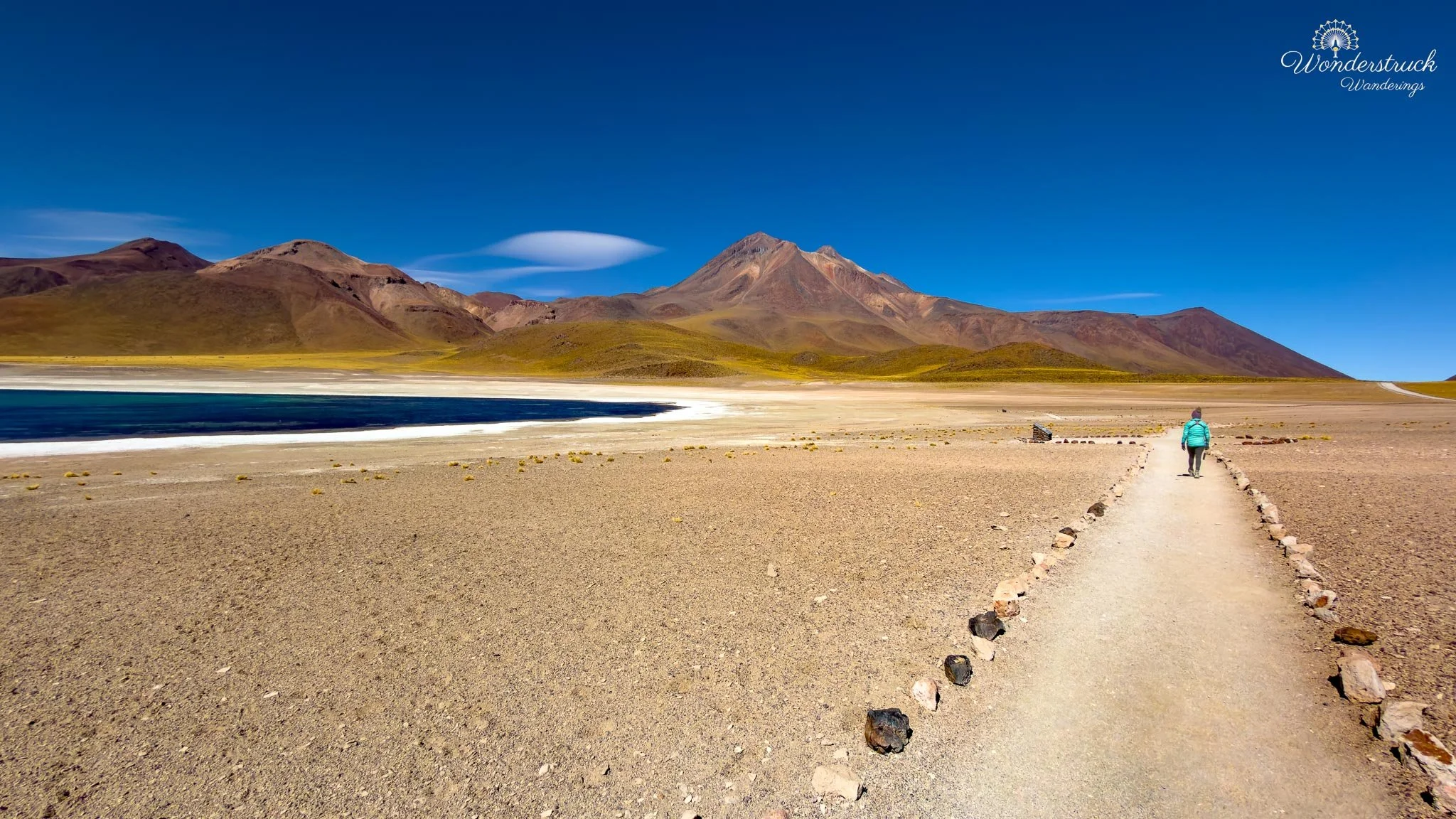
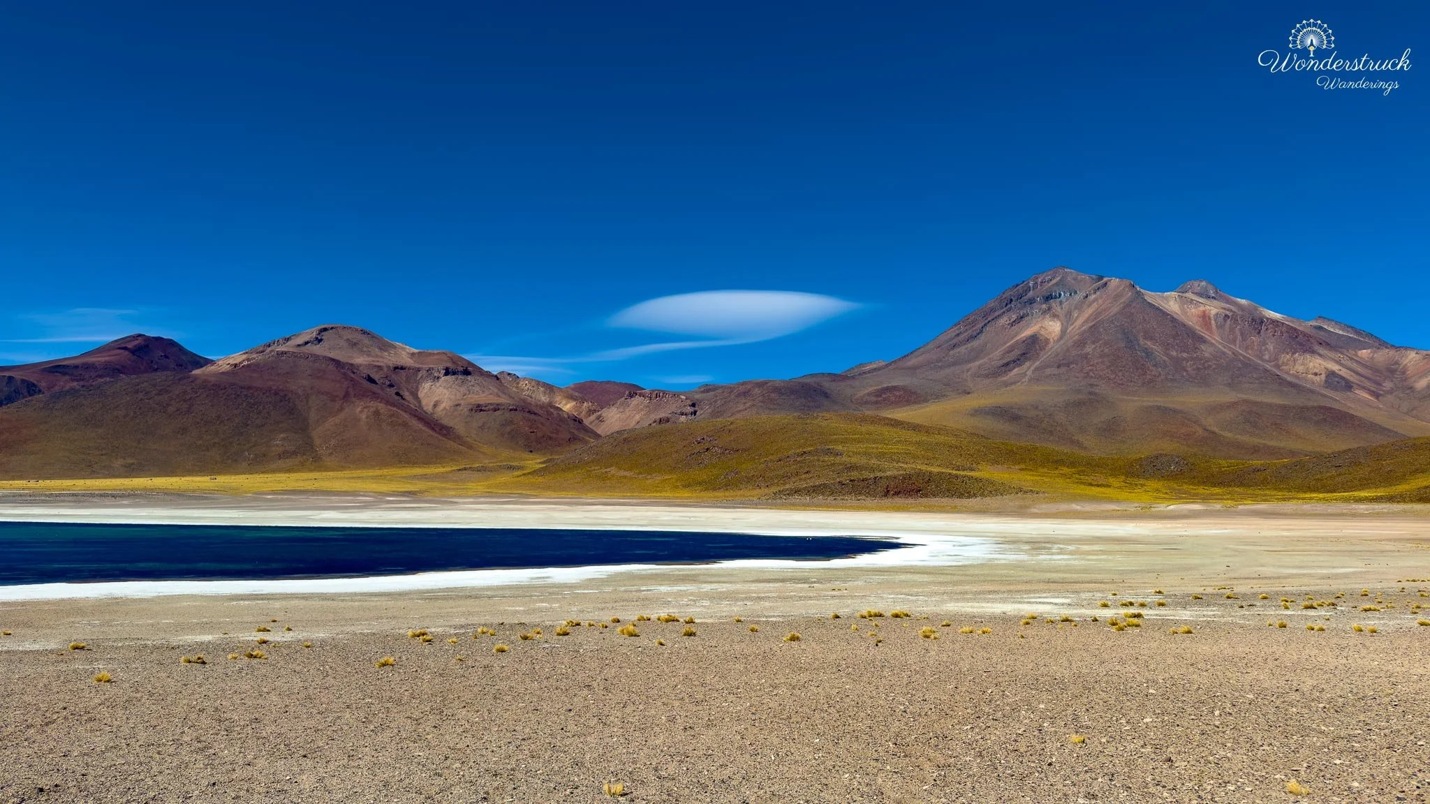
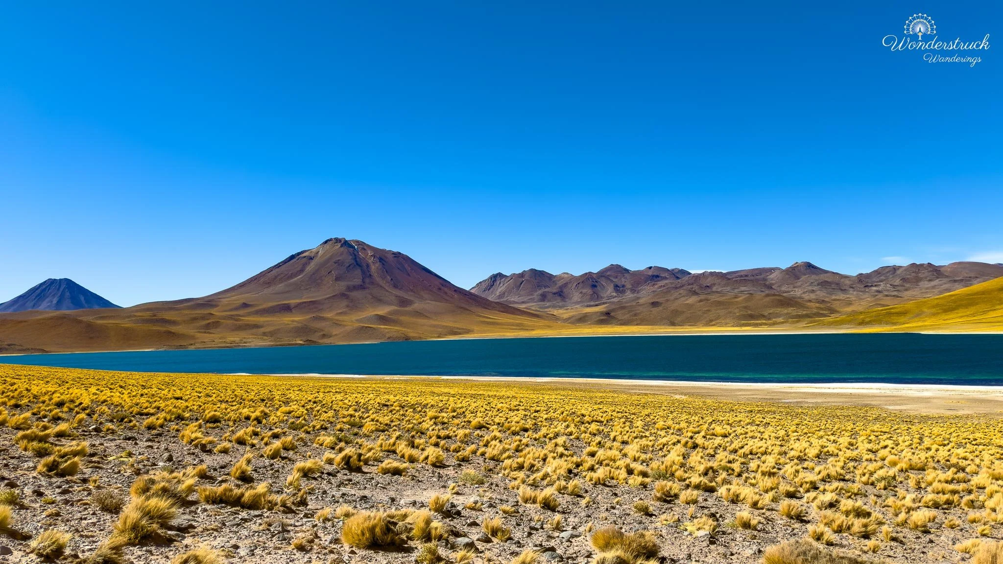
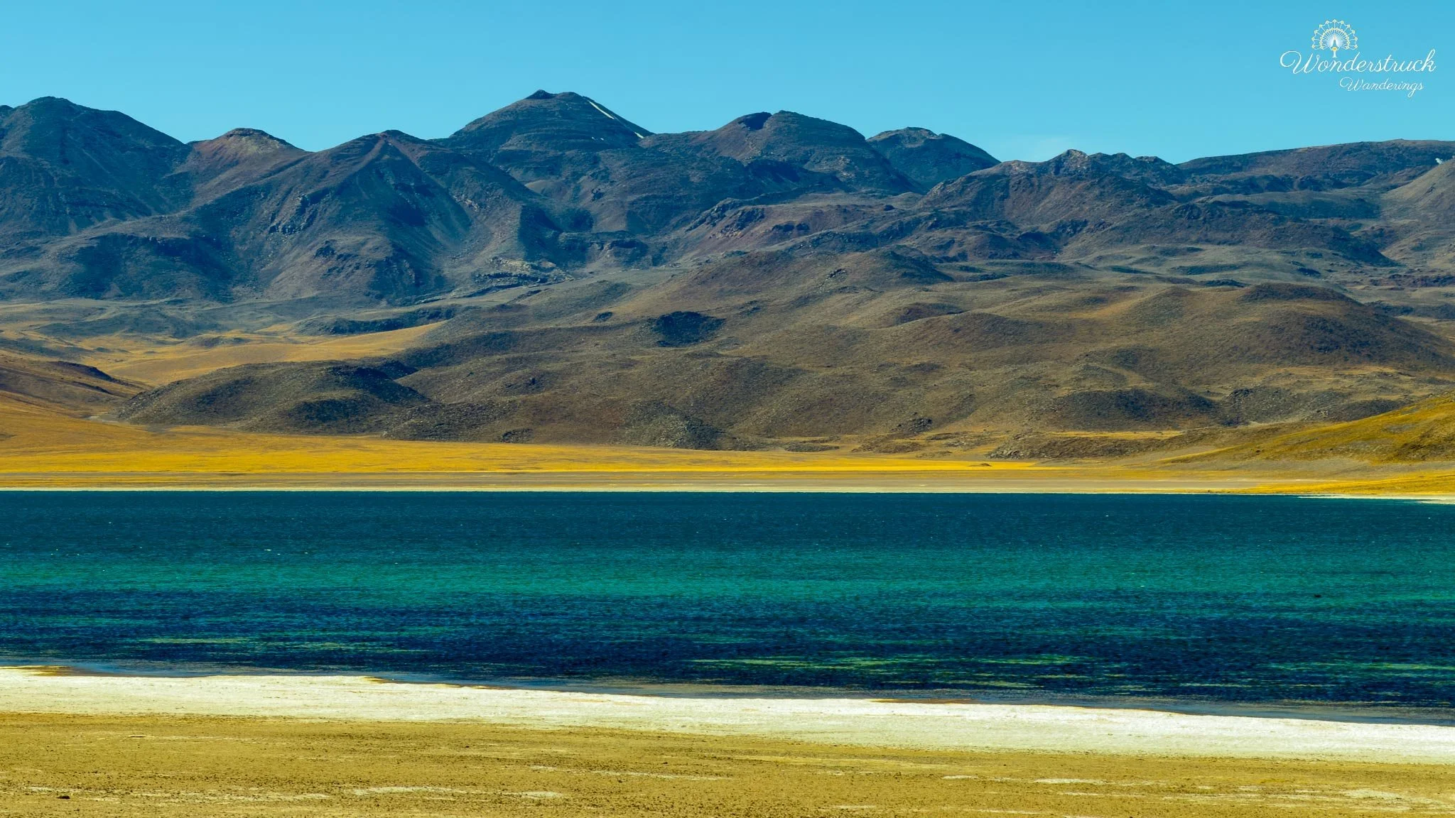
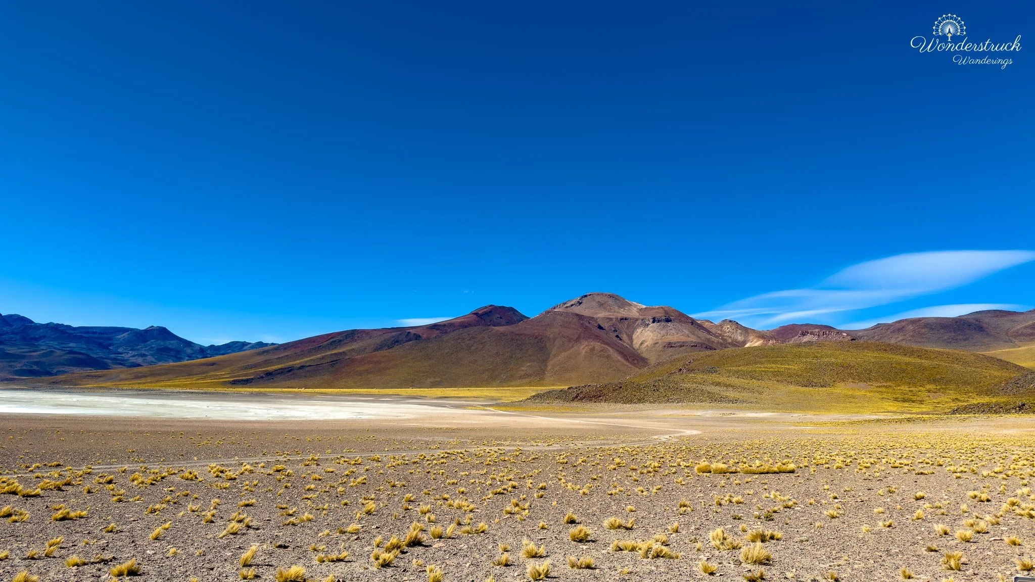
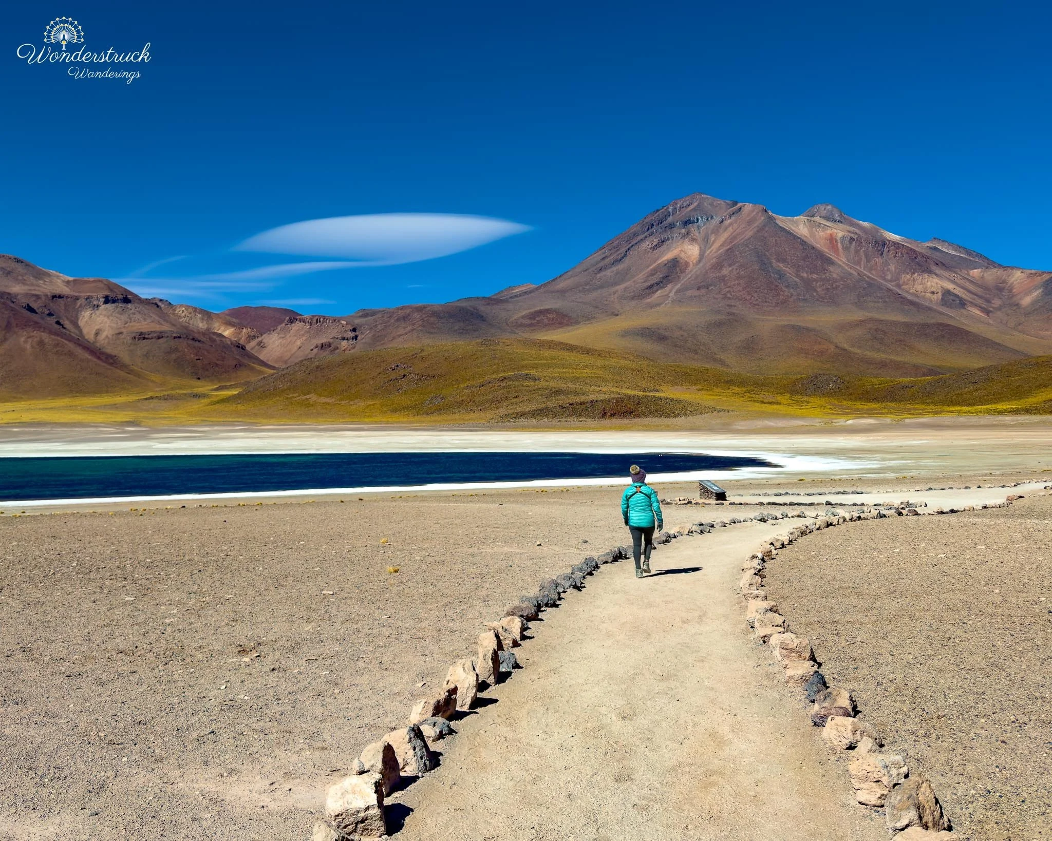
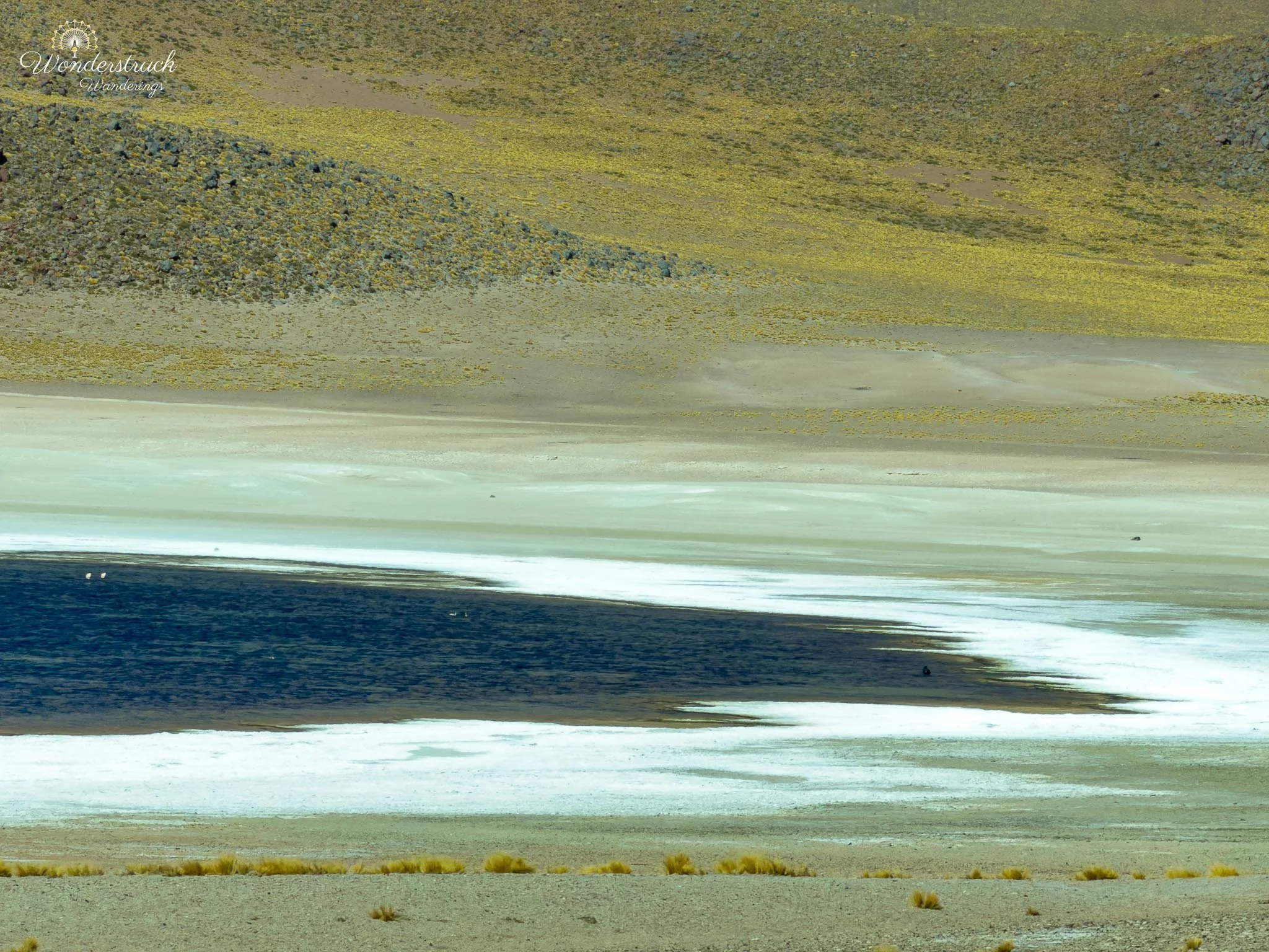
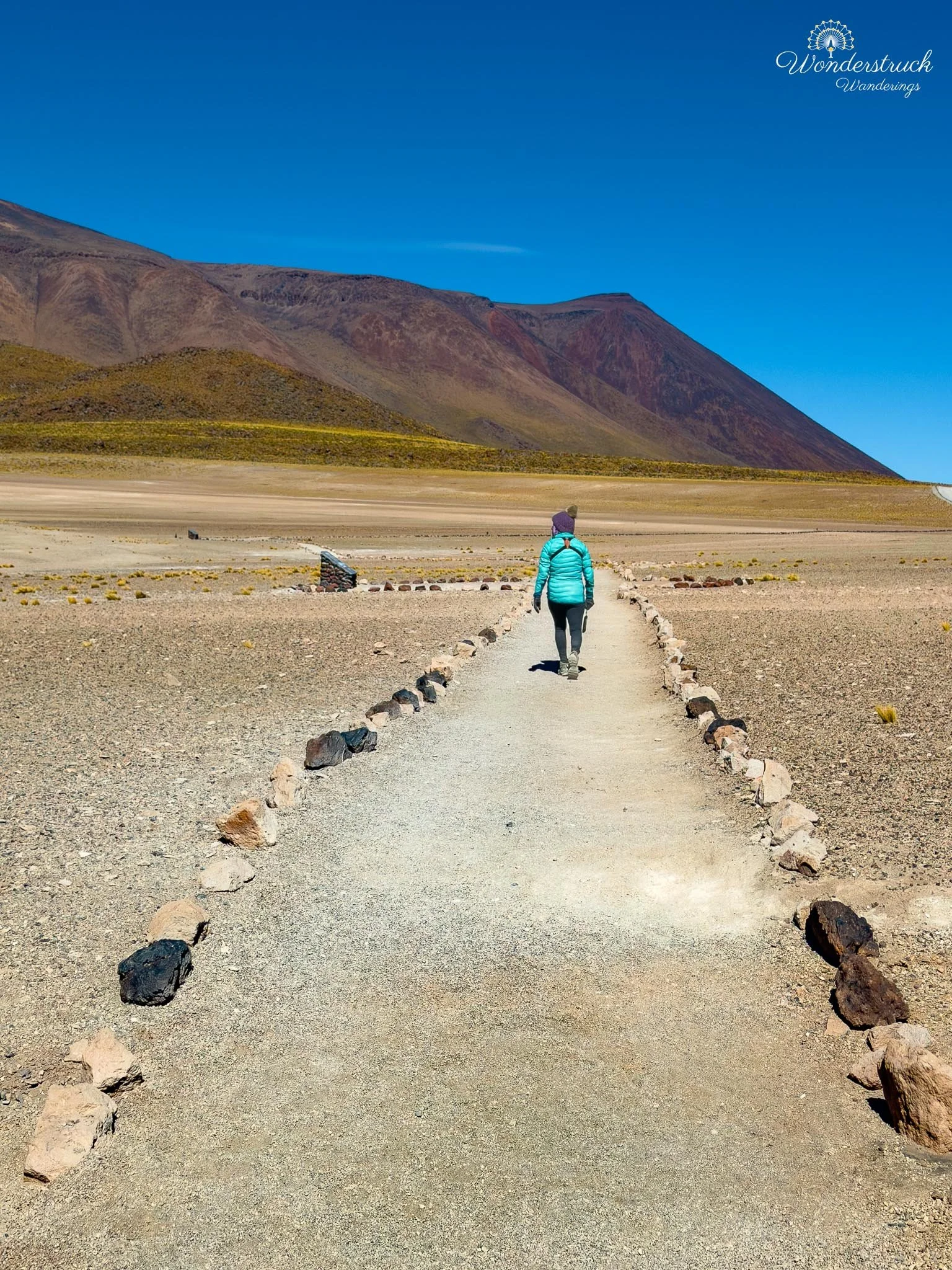
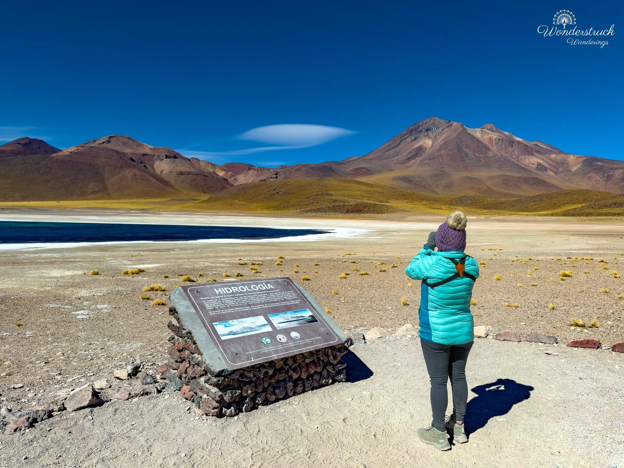
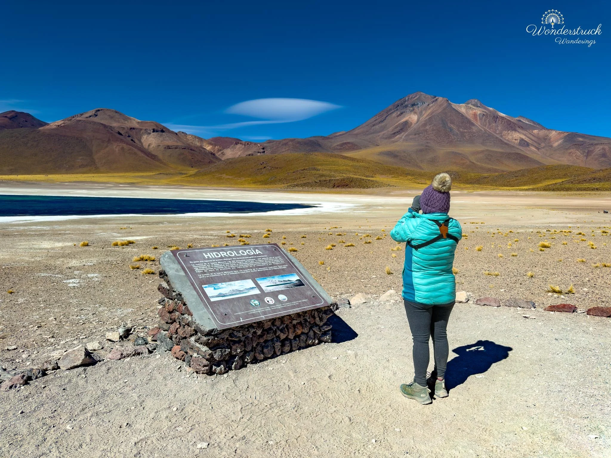
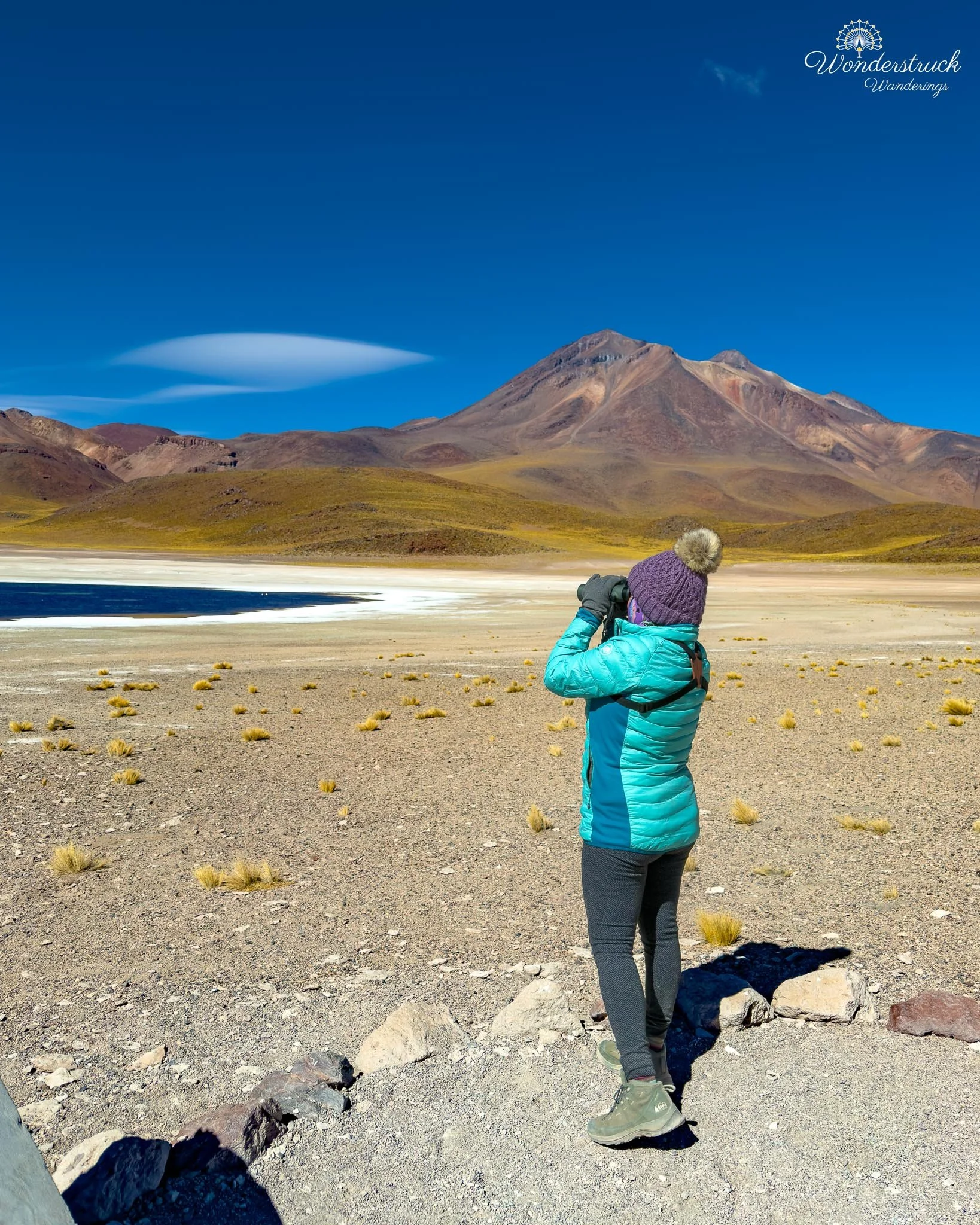
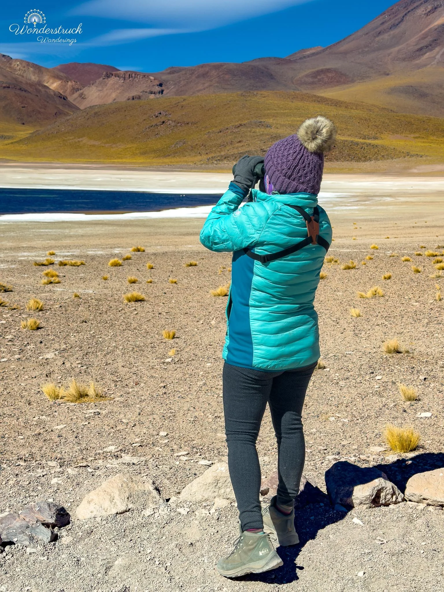
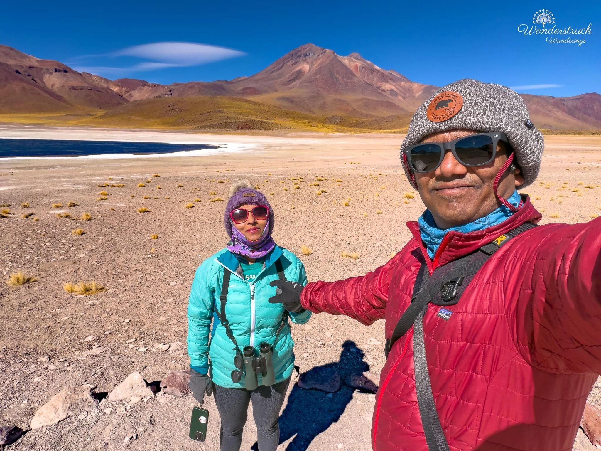
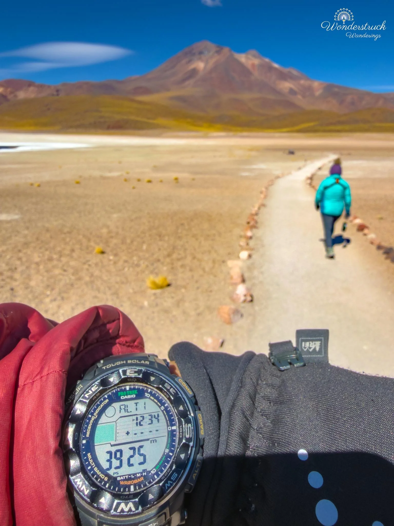
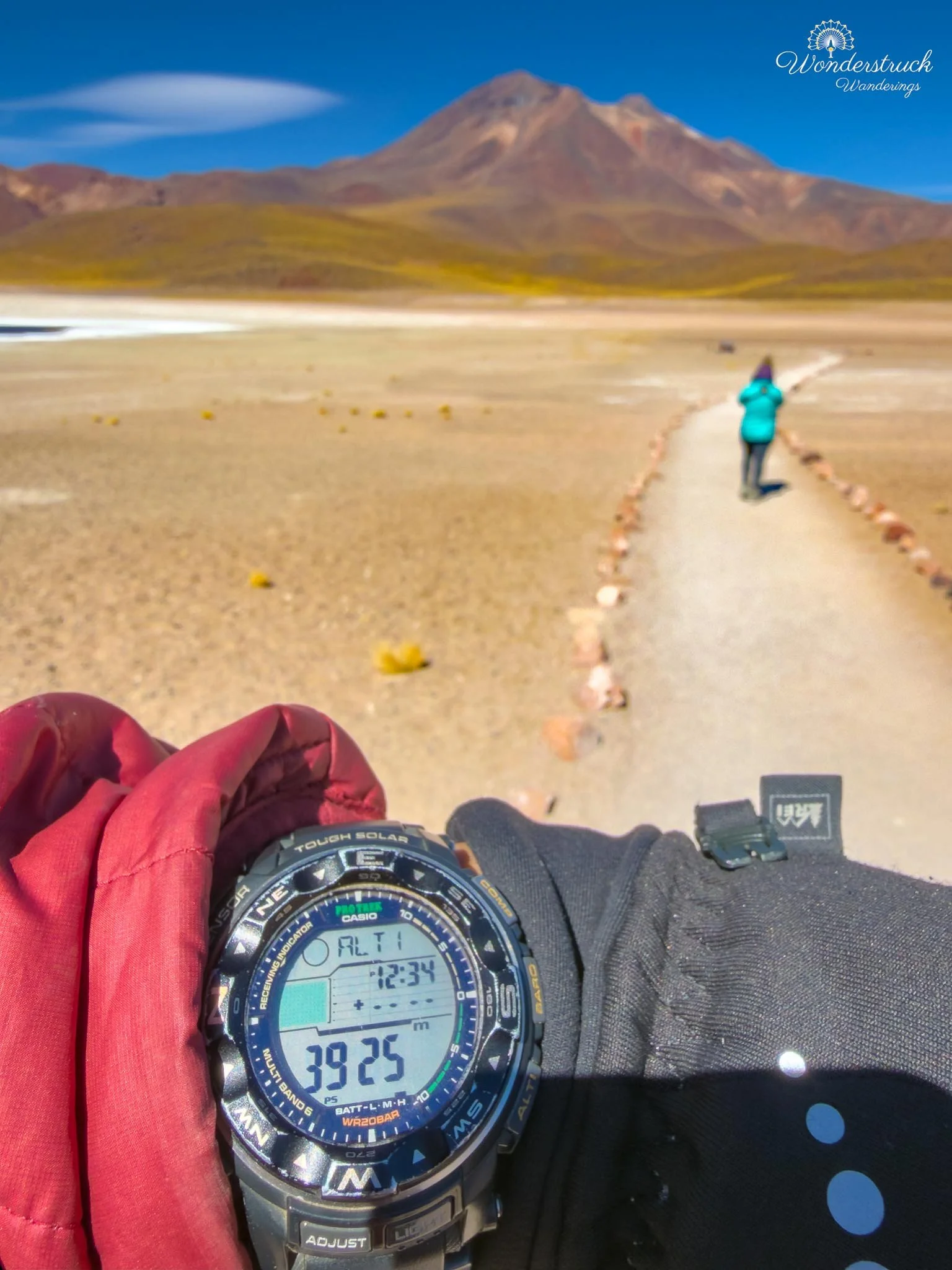
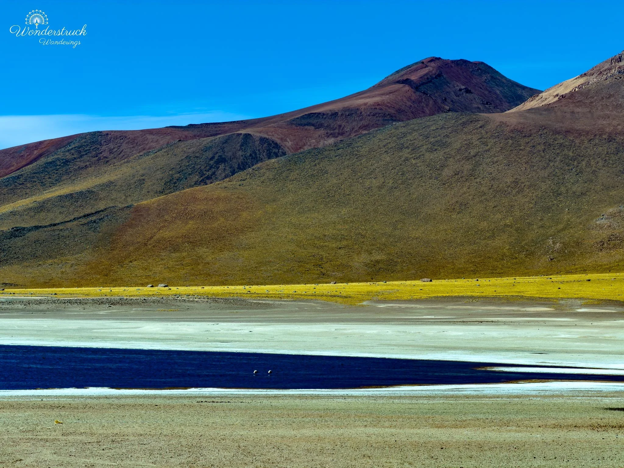
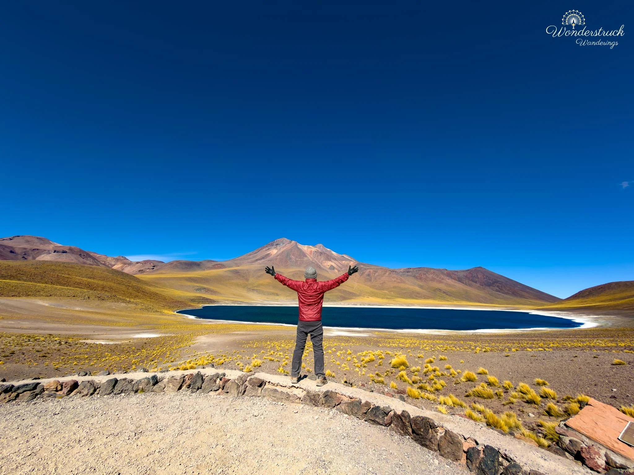
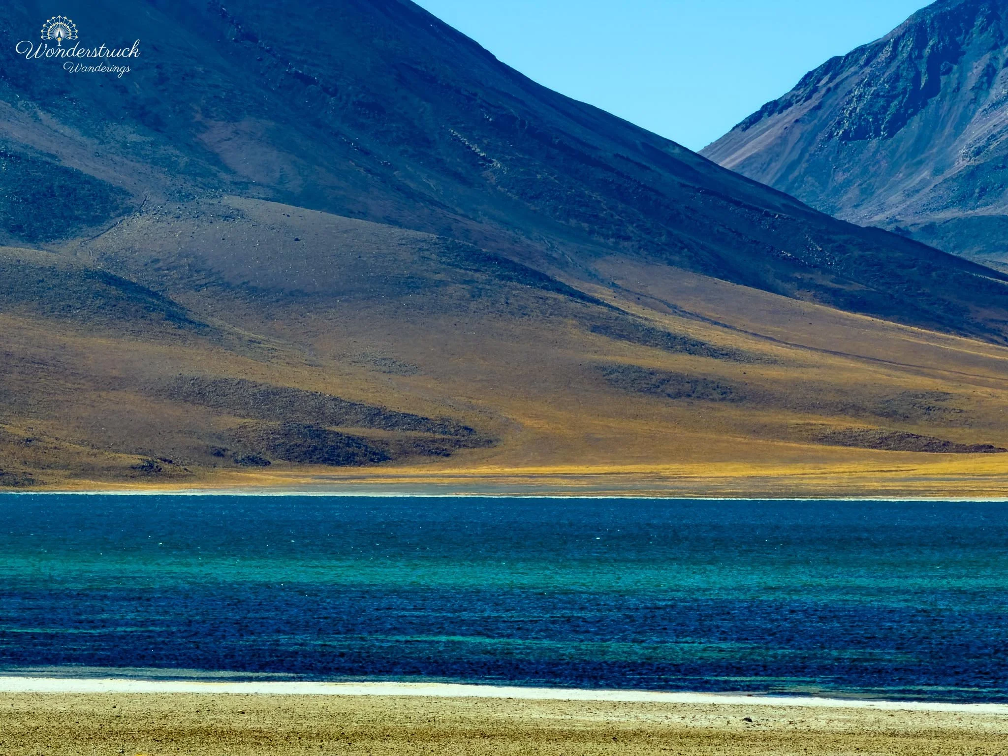
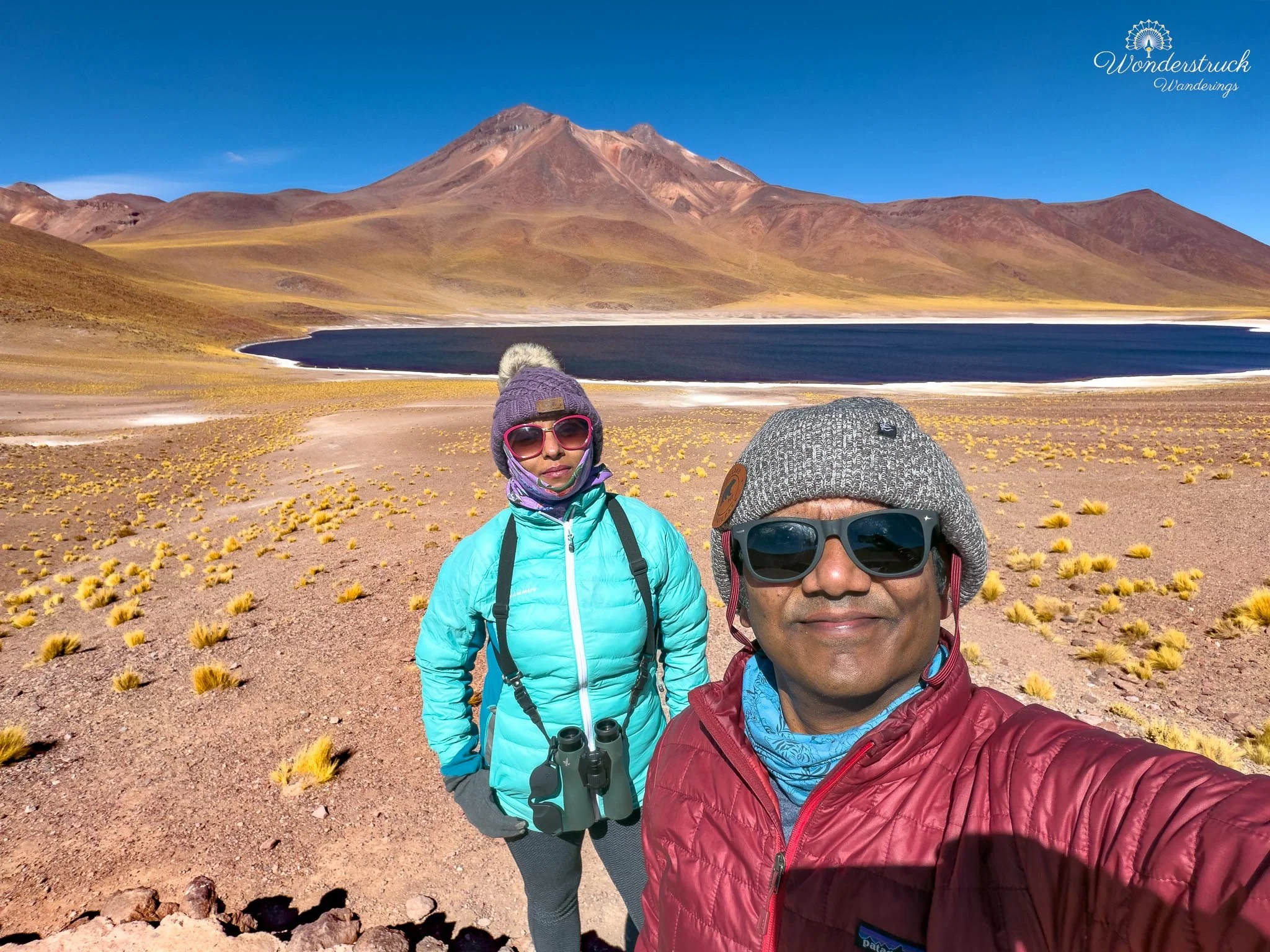
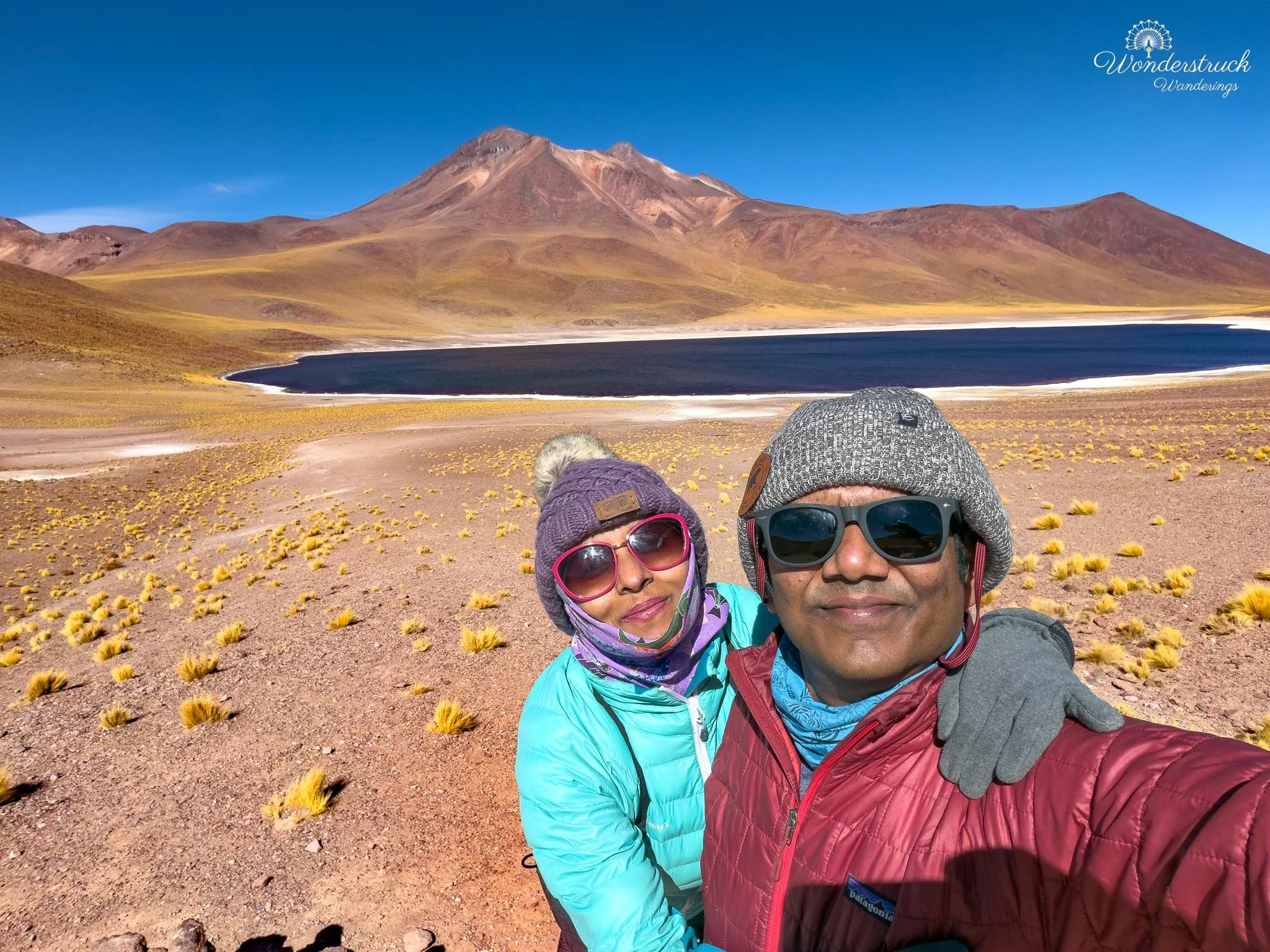
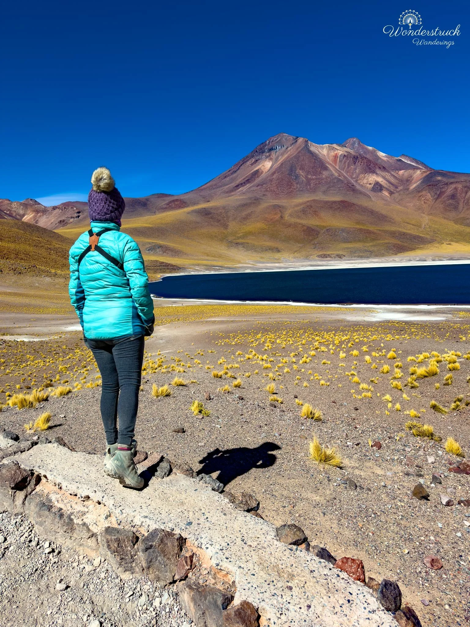
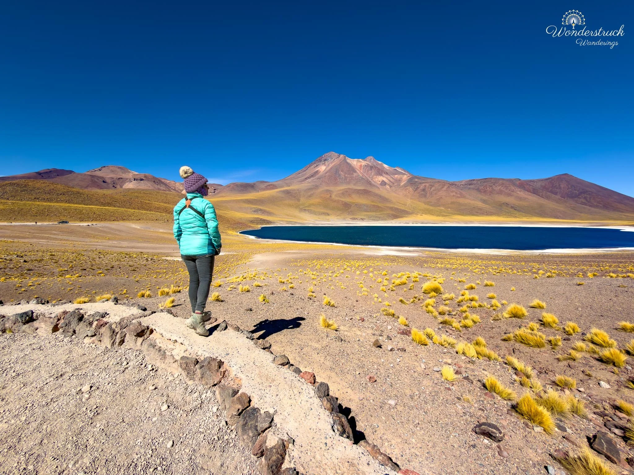
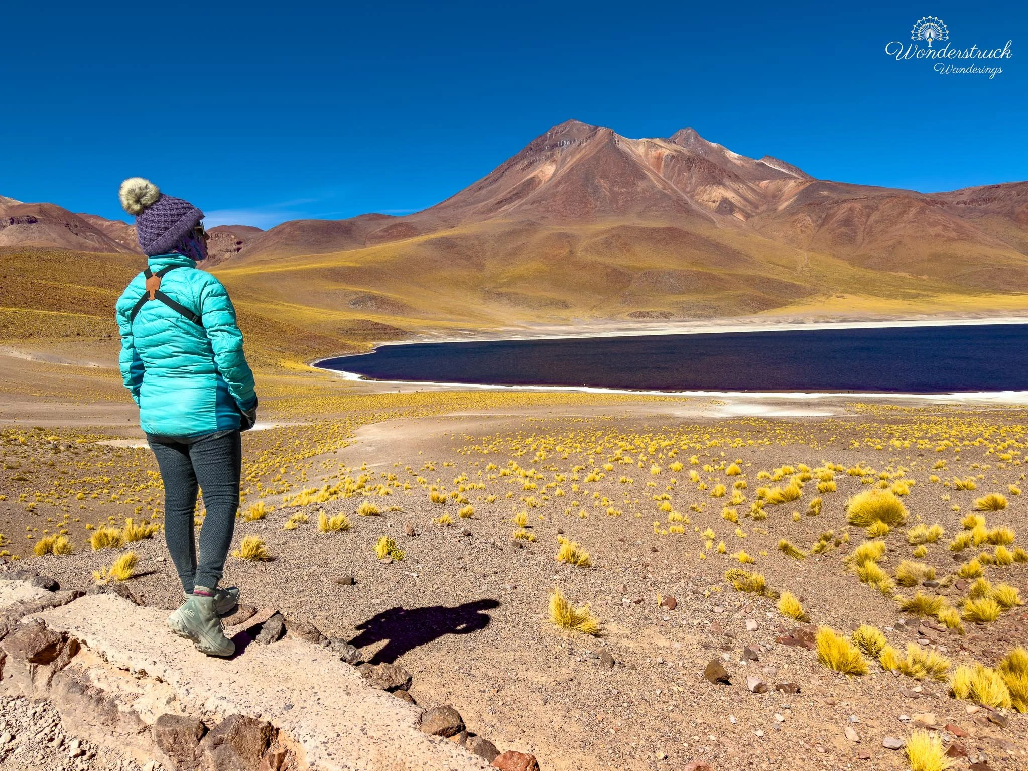
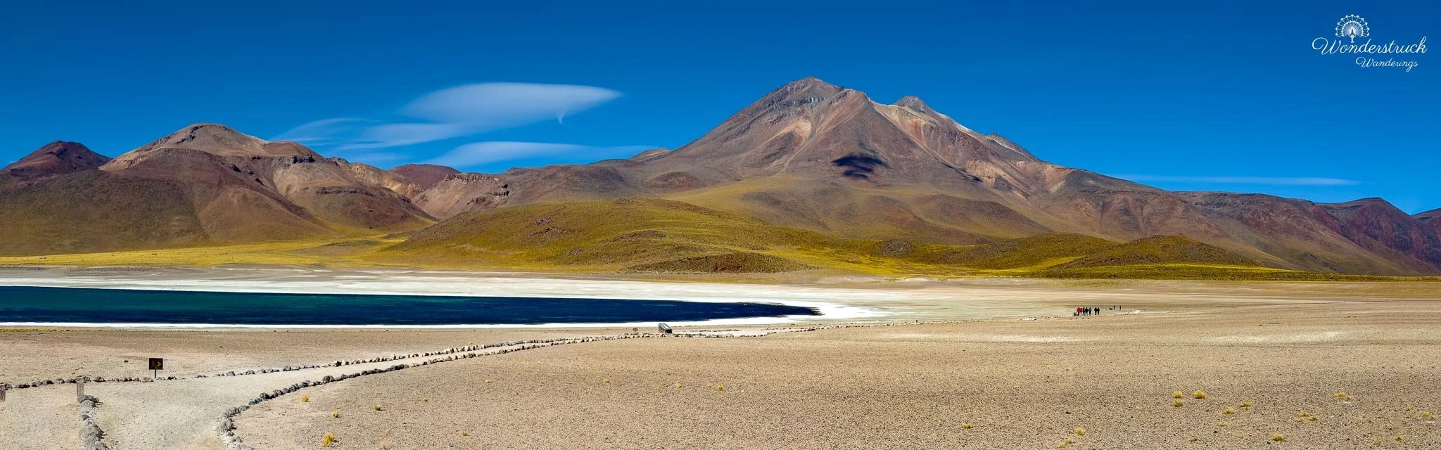
We first parked at Laguna Miscanti and walked along the marked trail. By this point we were above 4,100 meters, high enough that even a gentle walk felt slower than it would have in San Pedro. The air was colder, thinner, and sharper, and every small rise in the trail made us more aware of the altitude. This is not a place to rush. The whole setting asks you to move slowly anyway: deep blue water, tawny puna grasses, volcanic slopes, and wide high-Andean silence. The trail has three viewpoints along the path. If you are with a tour bus, the logistics are easier because you can walk the route one way and be picked up at the other end. Since we were self-driving, we walked the marked route, took our time at the viewpoints, and then traced our path back to the car. That actually worked well for us because the views changed in reverse. Laguna Miscanti looked different every time the angle shifted: sometimes darker and almost ink-blue, sometimes brighter where the sun caught the water, and sometimes framed by grasses and volcanic ground in a way that made the lake feel even more remote.Laguna Miscanti was beautiful and serene in a way that felt very different from Laguna Chaxa. Chaxa had been salt crust, flamingos, sunrise energy, and flight photography. Miscanti was quieter, deeper, colder, and more expansive. The water had that rich high-altitude blue that almost looks unreal, especially against the yellow grasses and the dark volcanic slopes rising around it. Behind the lagoon, the landscape is shaped by Cerro Miscanti and the neighboring Miñiques Volcano, both part of the volcanic highlands that define this section of the Altiplano.
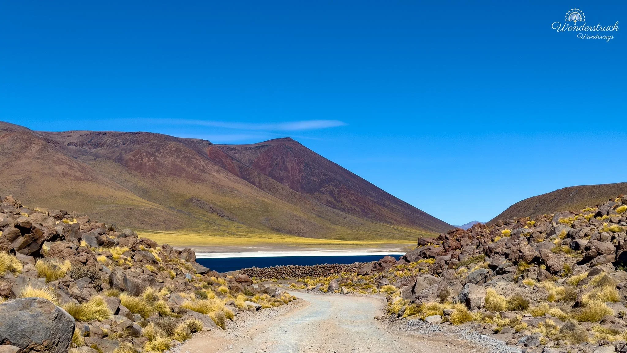
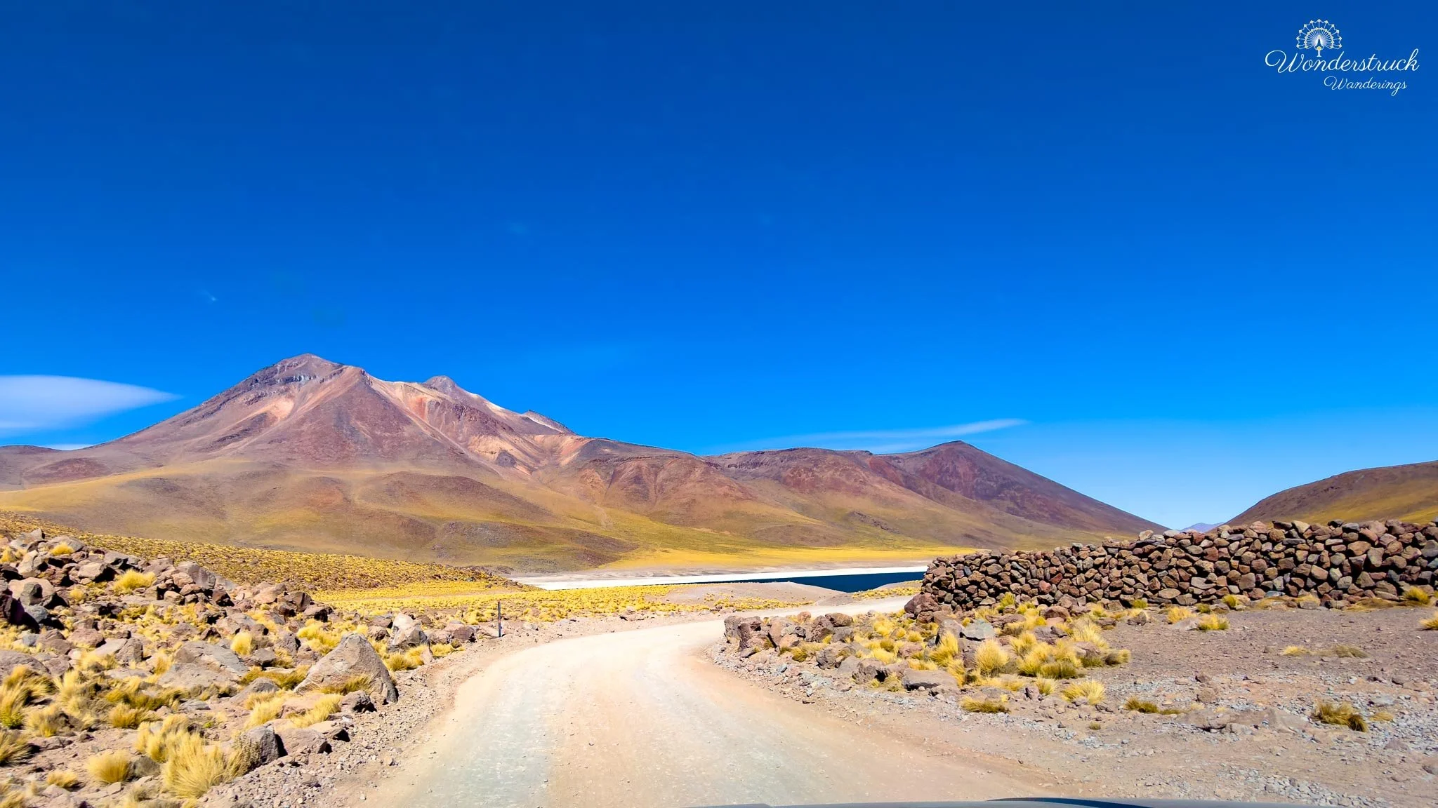
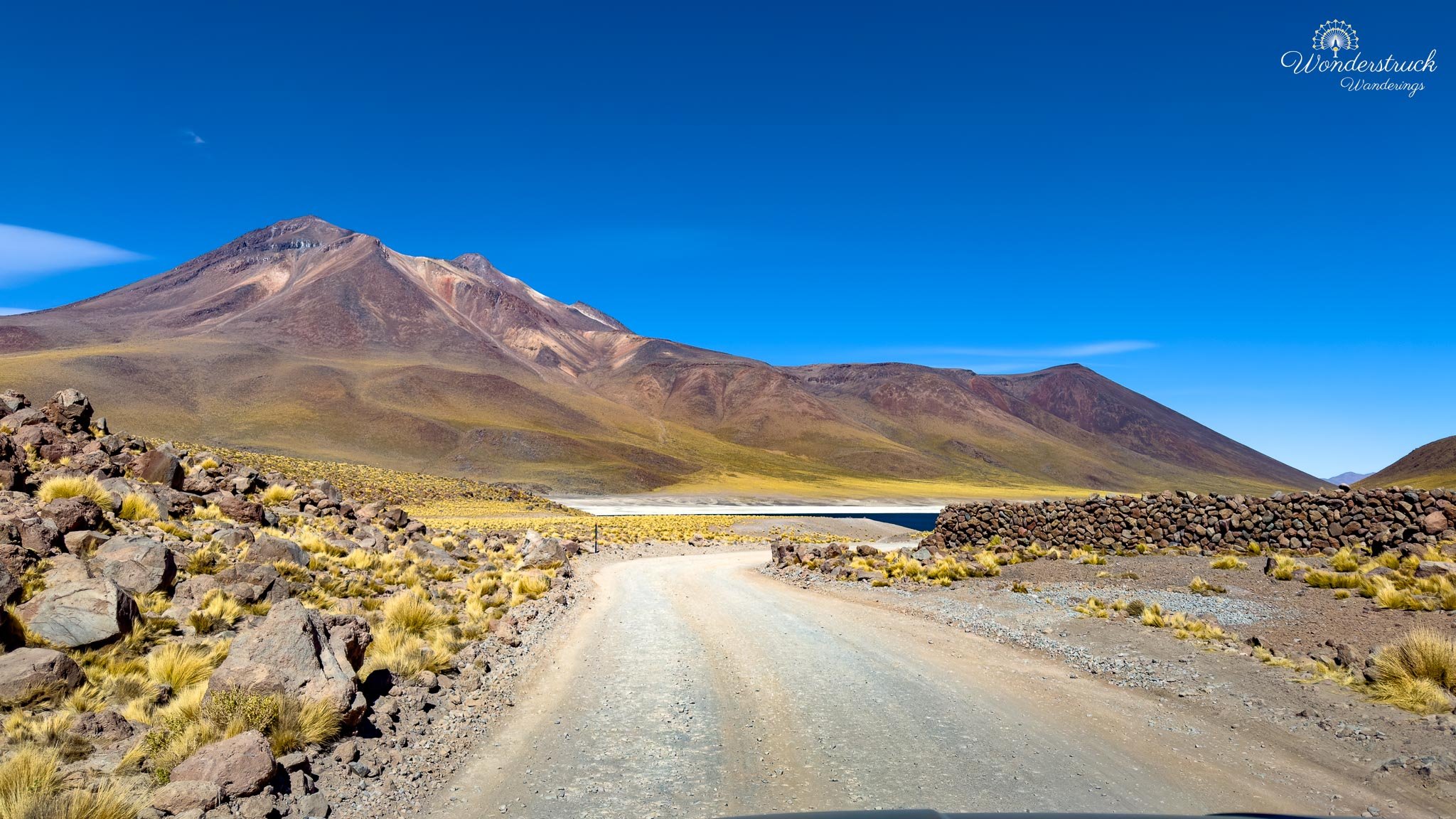
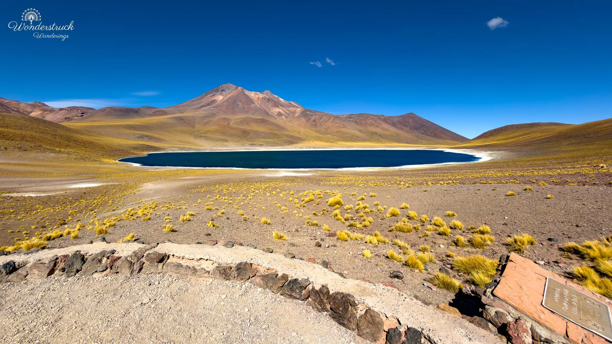
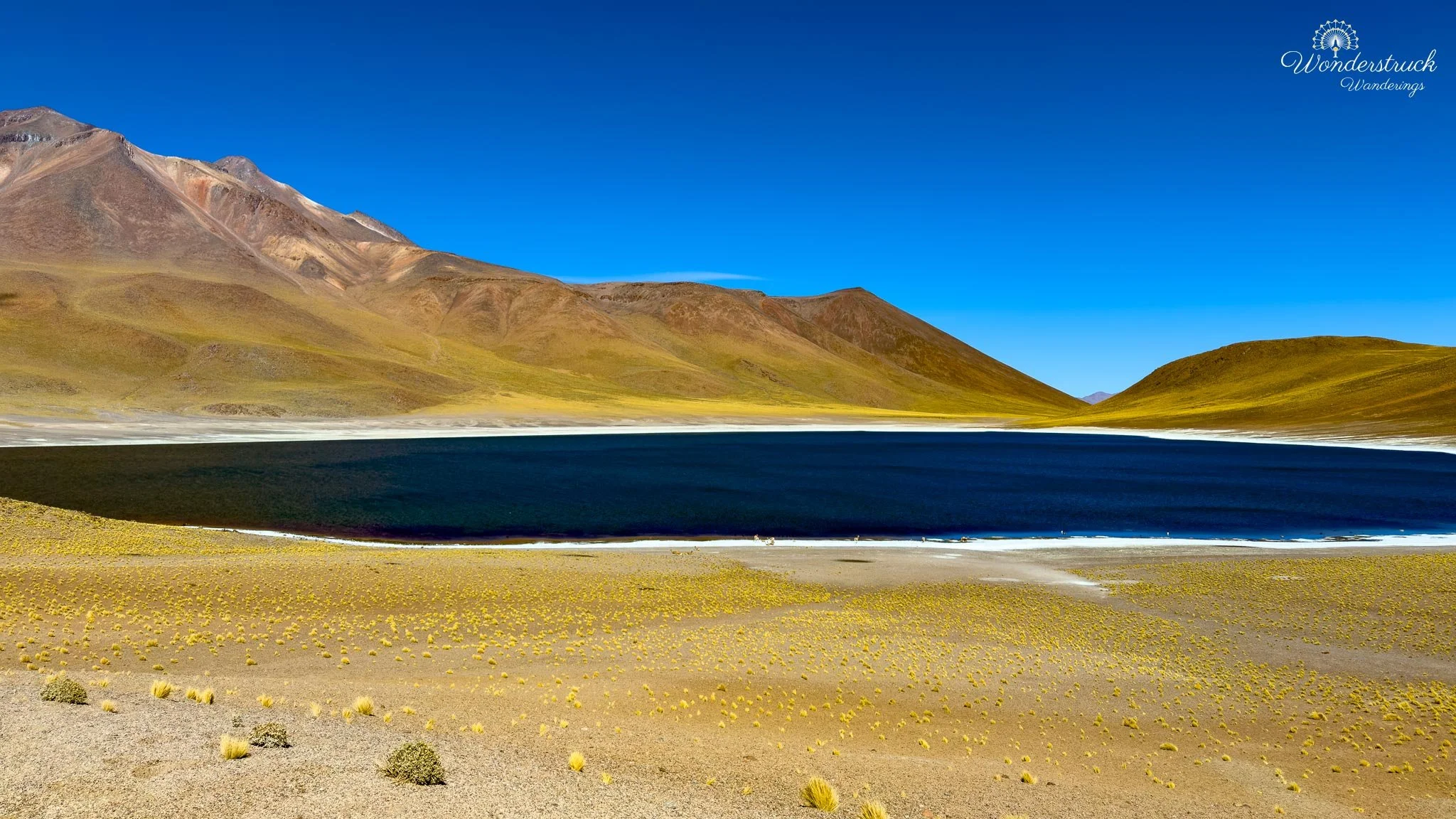
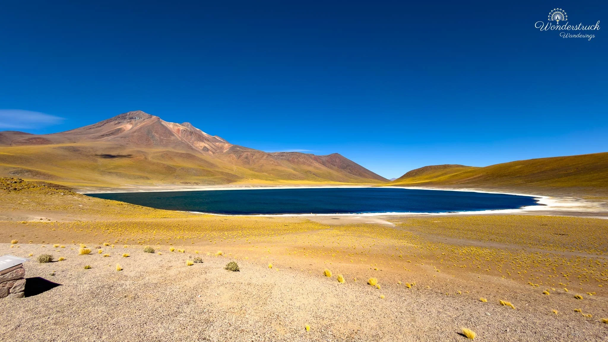
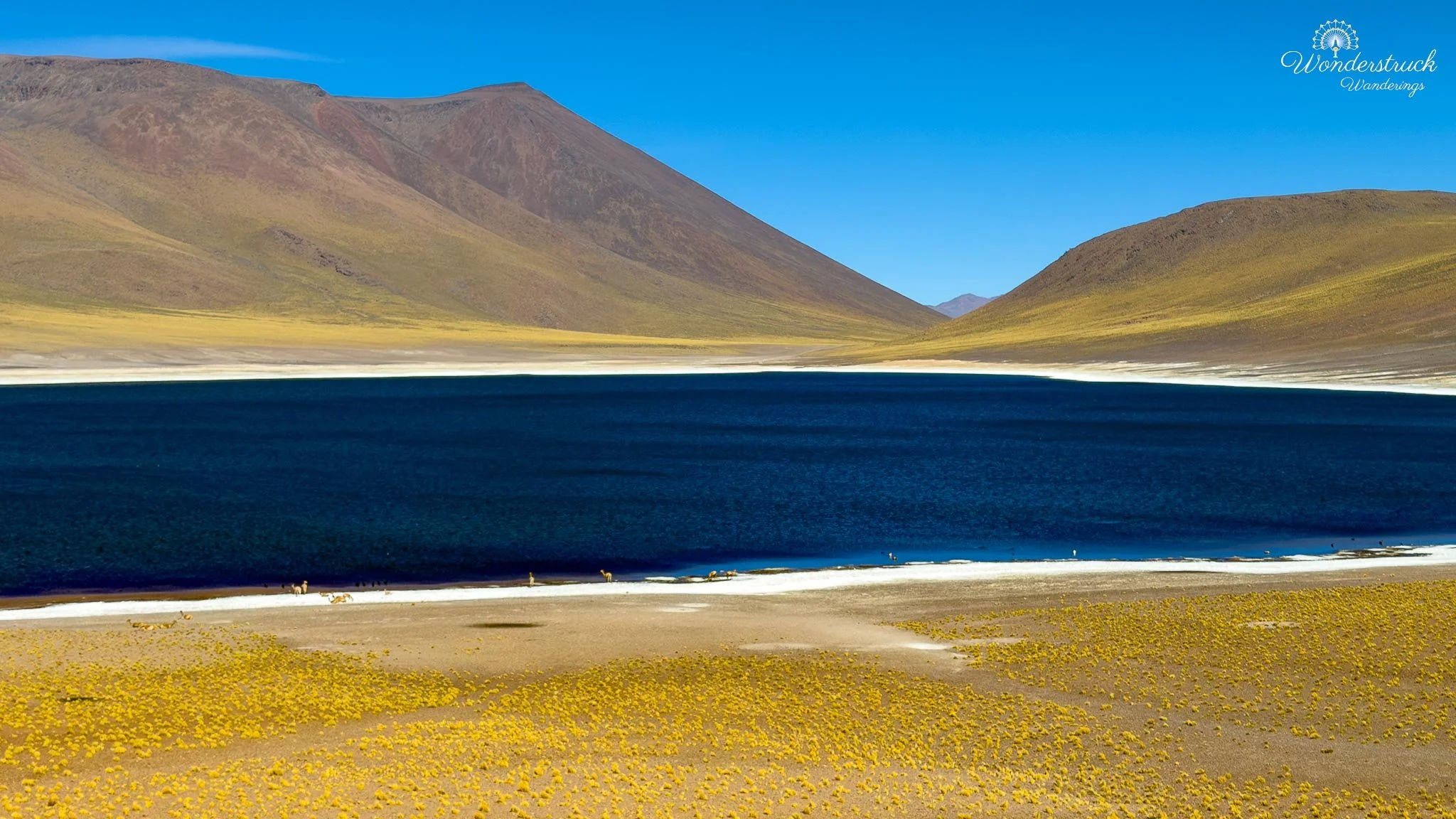
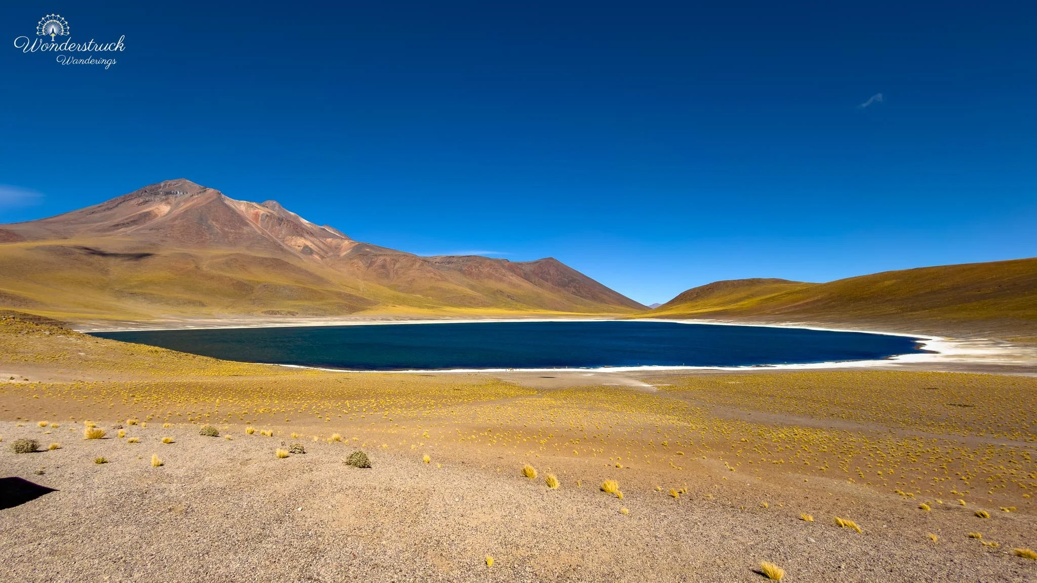
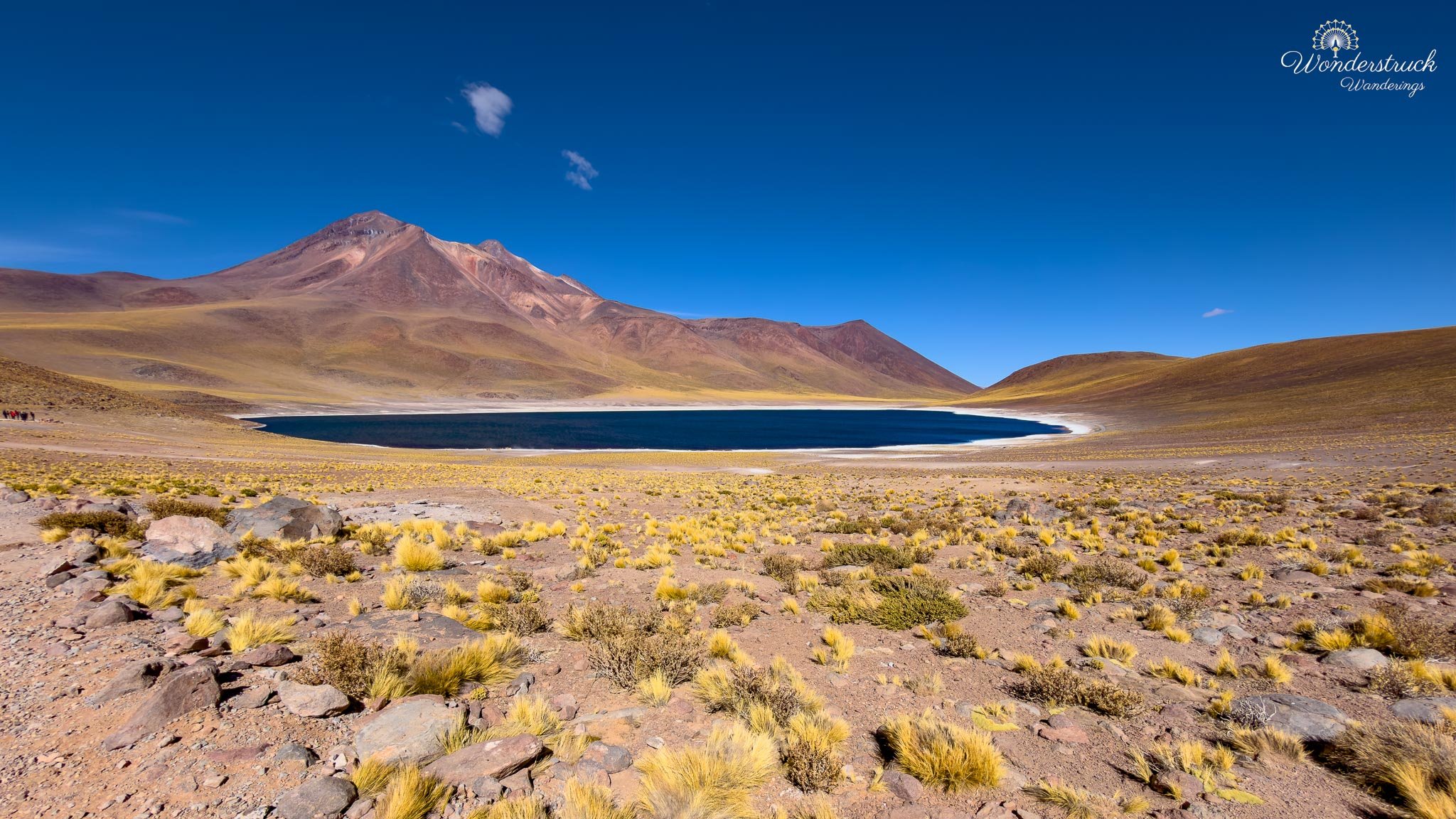
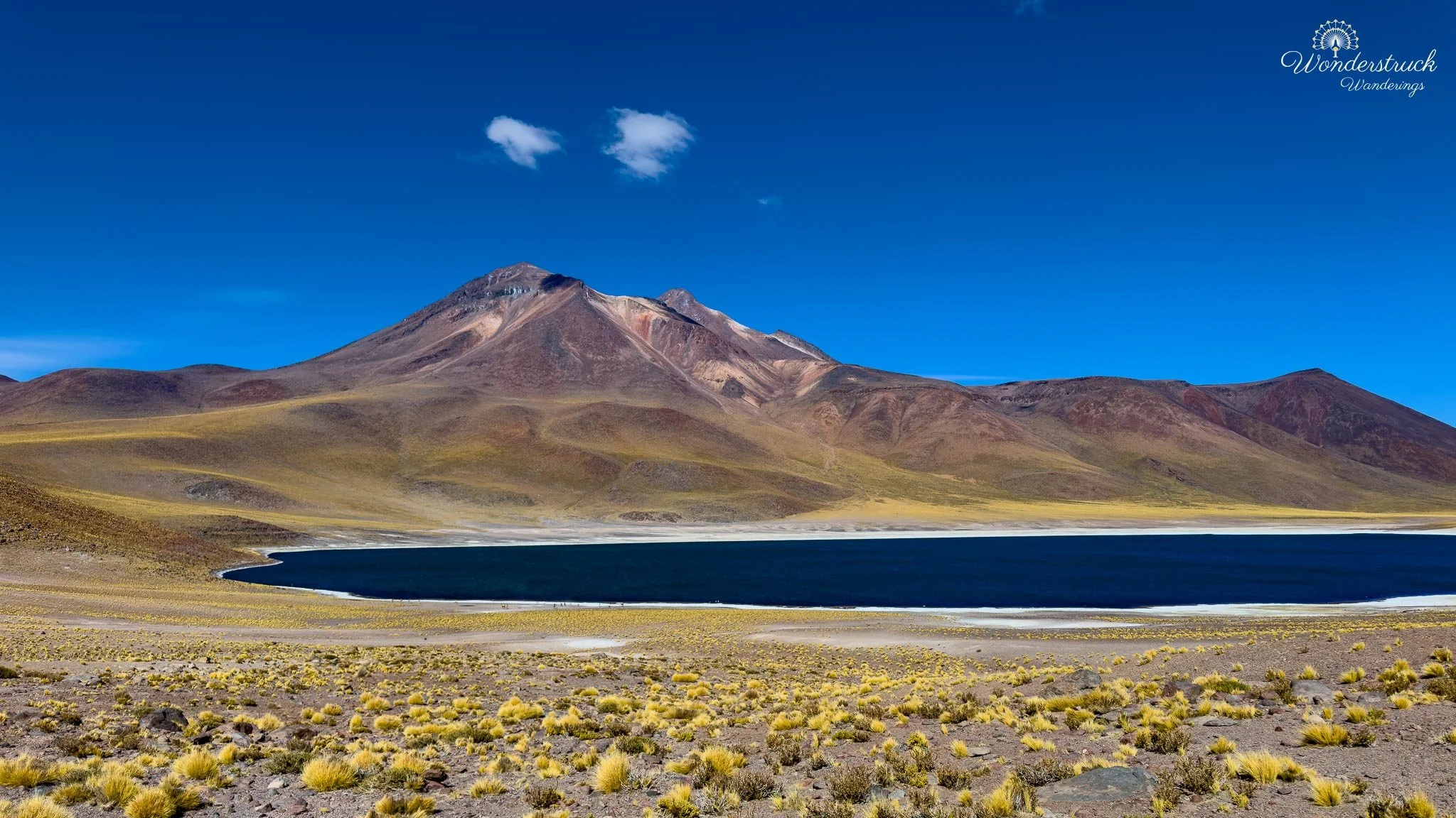
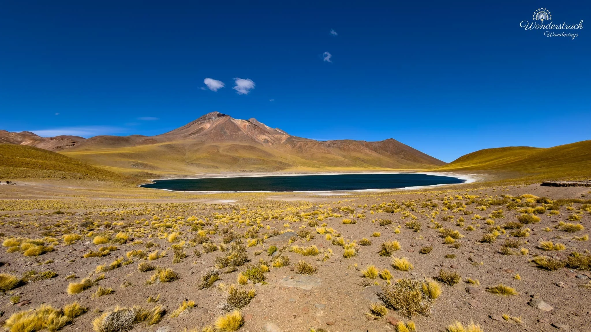
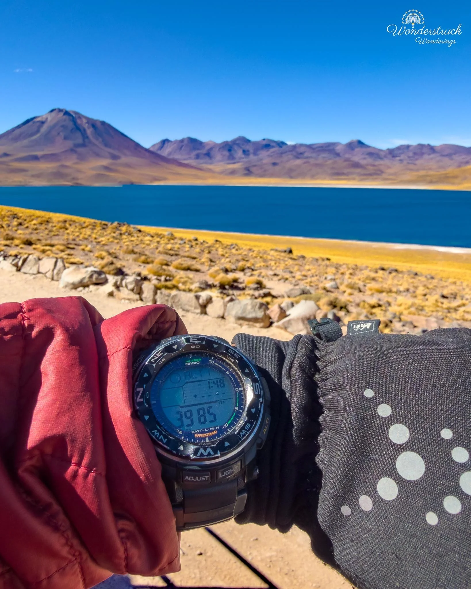
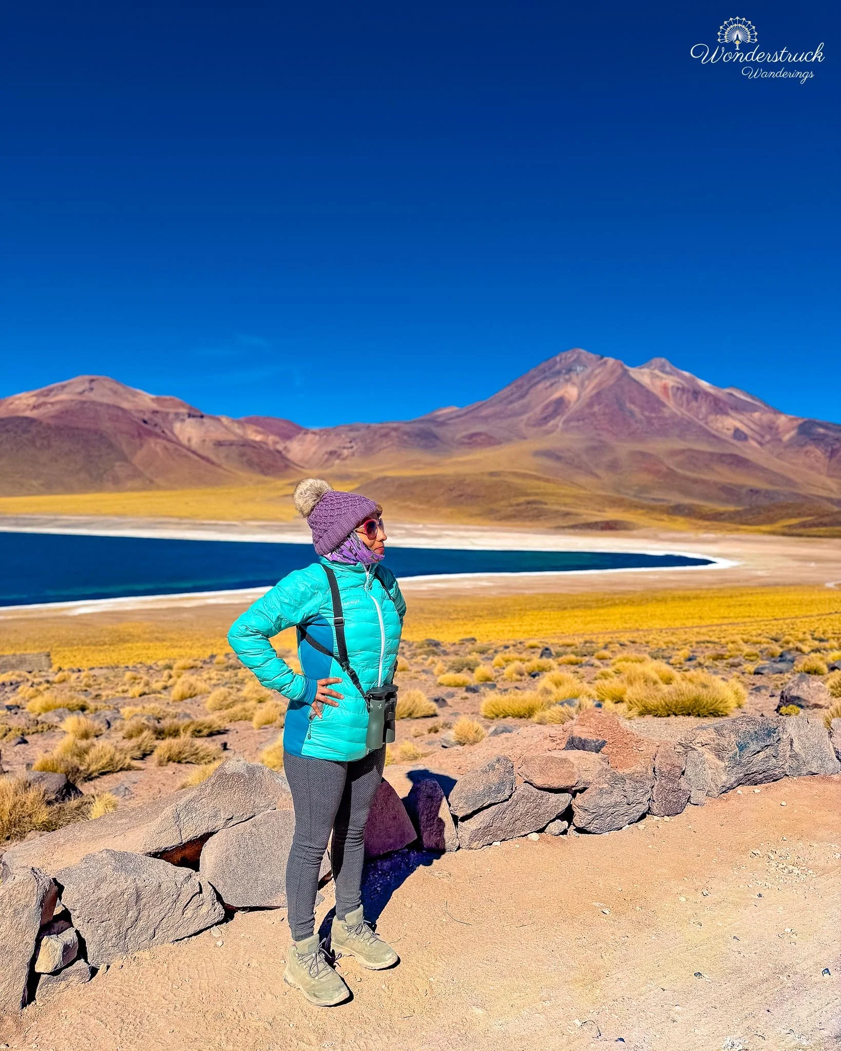
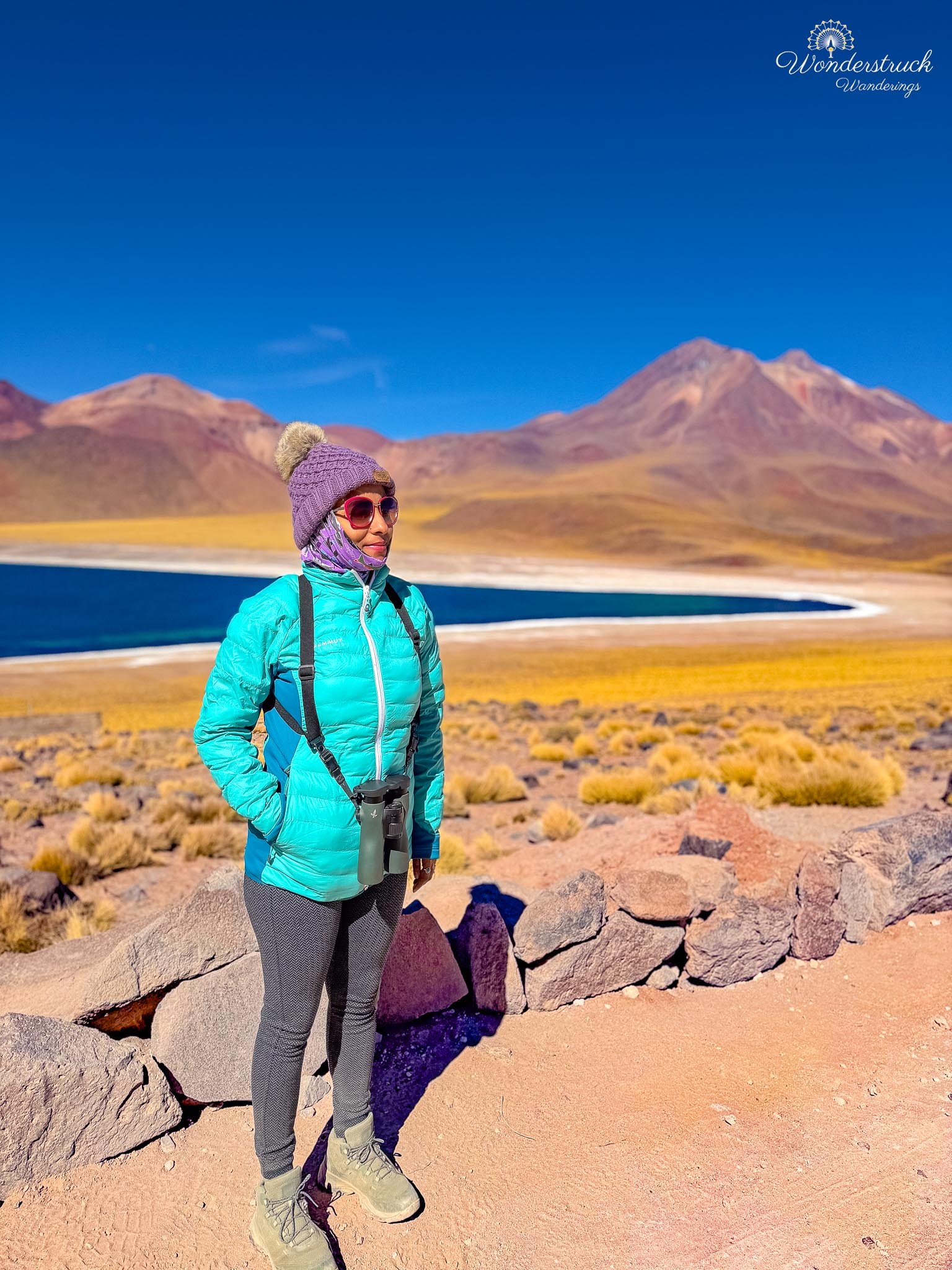
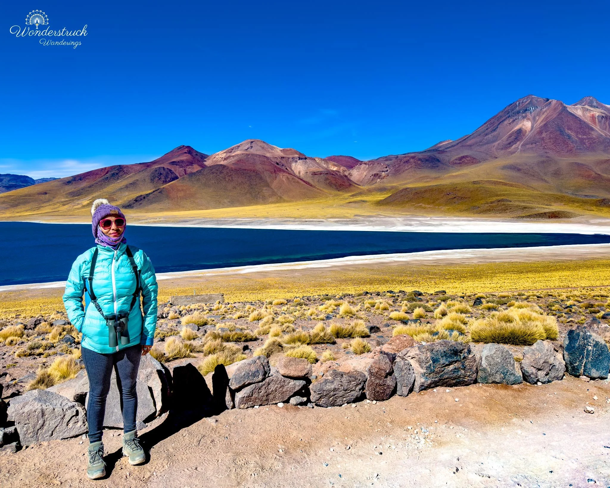
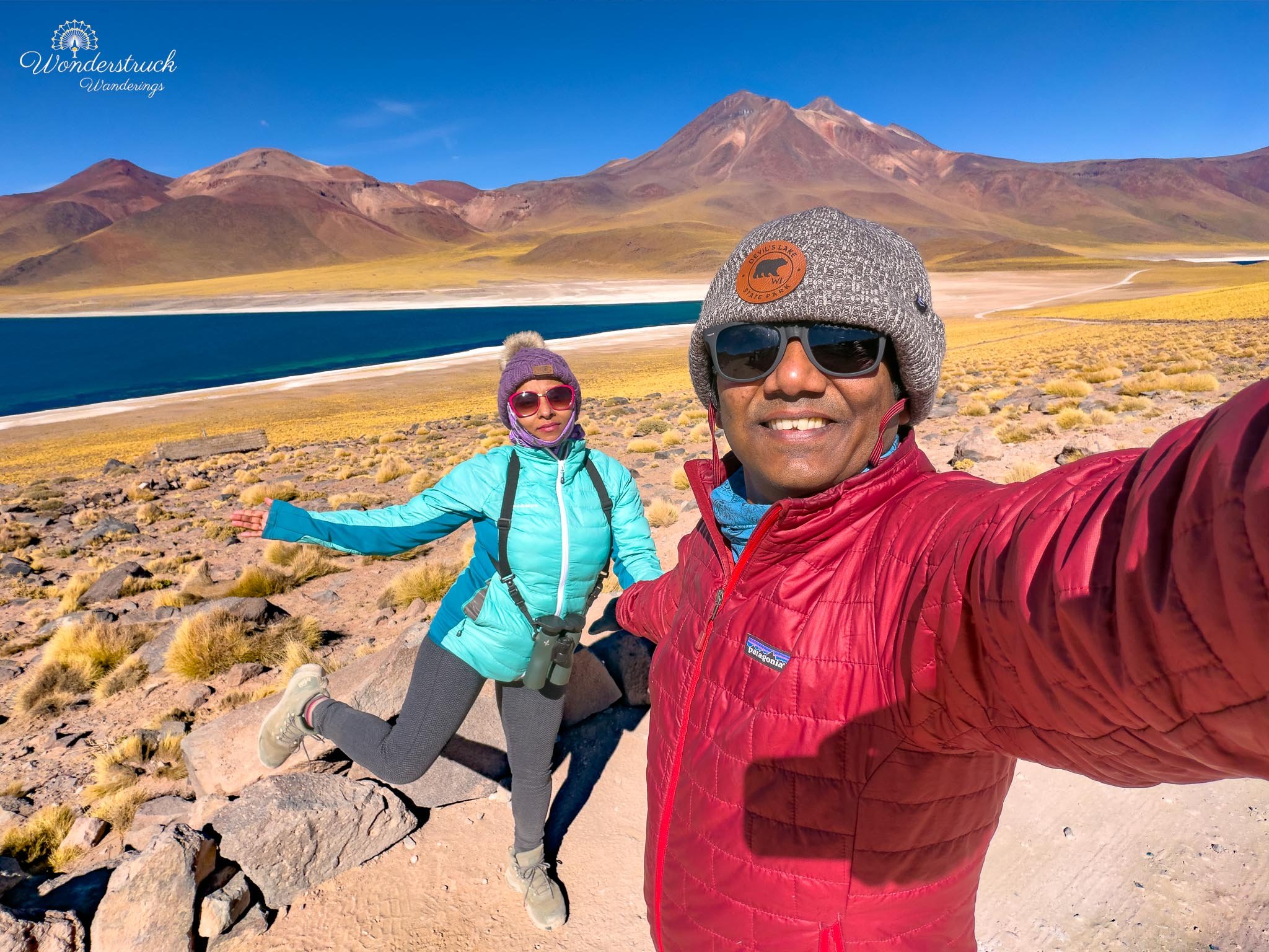
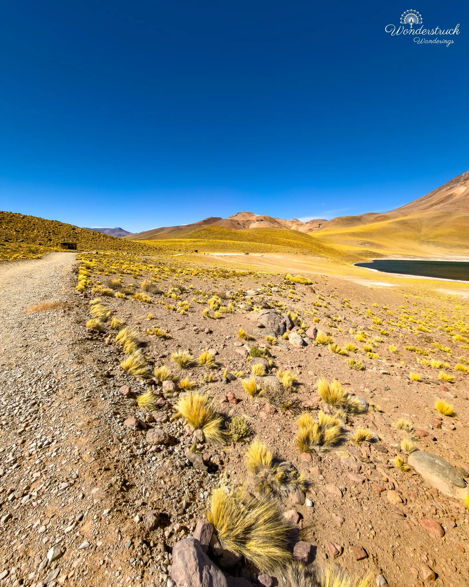
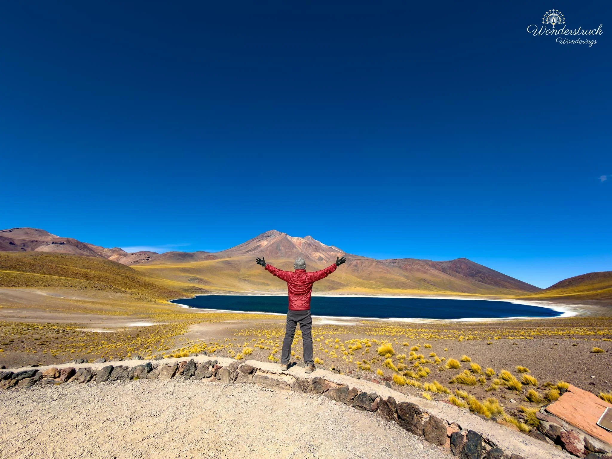
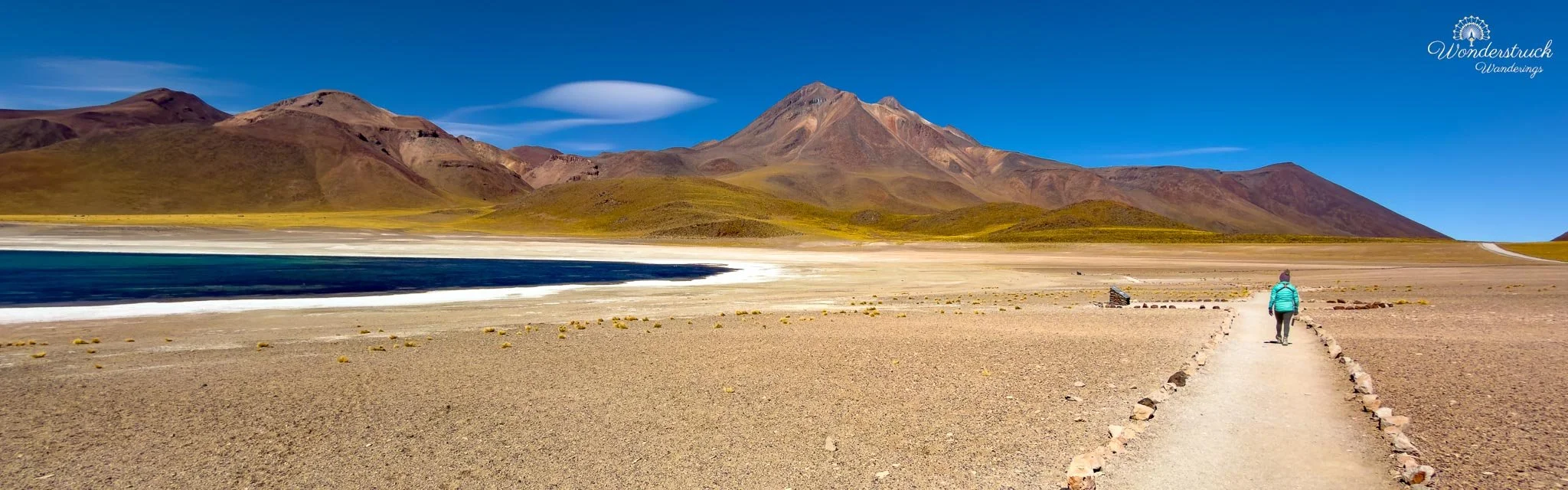
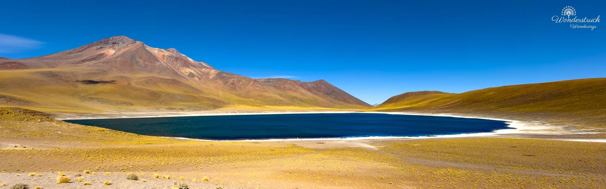
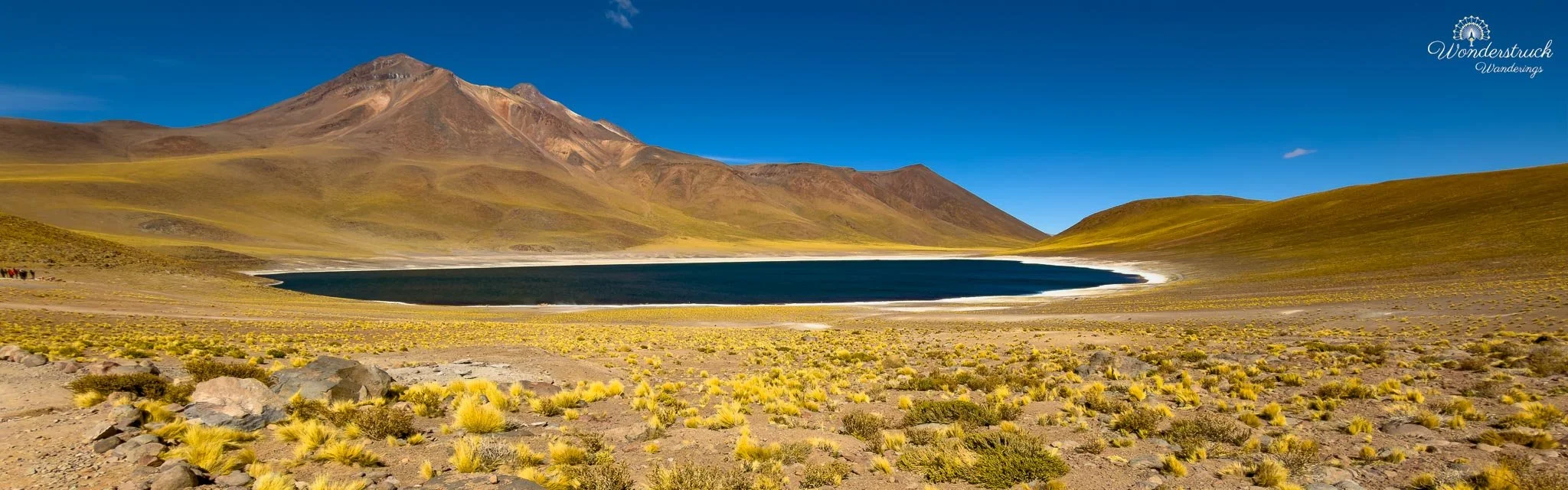
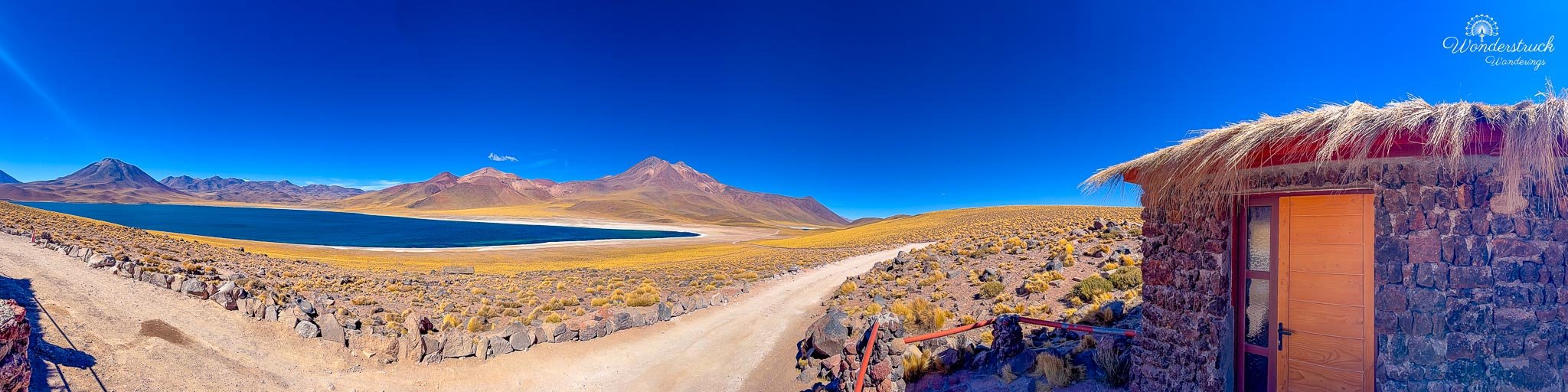
The history of the lagoons is tied directly to that volcanic landscape. Miscanti and Miñiques are sister lagoons, and one common geological explanation is that ancient volcanic activity from the Miñiques area helped separate the two basins, creating the distinct lakes we see today. Standing there, that history made sense visually. The water does not feel randomly placed; it feels held in place by volcanoes, lava, slopes, and time. The whole area has that high-Andean feeling of a landscape built by fire, then softened by water, grass, wind, and silence. We scanned the water carefully for birds, but they were very far away. This was one of those moments when a spotting scope would have helped enormously. The scale of the lagoon is deceptive. Birds that look close at first turn out to be tiny shapes on a huge sheet of blue water. Still, with patience, we managed to pick up two important species: Silvery Grebe and Horned Coot. The Silvery Grebe was easier to identify, especially once we had a steadier view. The Horned Coot was trickier because the identifying horn on the head was difficult to see at that distance. But the habitat, shape, behavior, and context helped. Horned Coot belongs to these high-altitude Andean lakes, and even from far away it gave Laguna Miscanti that classic Altiplano birding feel: distant birds, huge water, thin air, and the sense that every identification has to be earned. From Laguna Miscanti, we drove onward to Laguna Miñiques, the second of the two Altiplanic Lagoons. The drive between them is short, but the landscape makes the transition feel significant. Miscanti has the broader, more open feel, while Miñiques sits in a slightly more enclosed setting, framed by volcanic slopes, yellow puna grasses, and the dark mass of Miñiques Volcano rising nearby. At this altitude, every stop felt slower and more deliberate. You step out of the car, feel the wind and thin air immediately, and then the silence of the high plateau settles around you. We parked at the first viewpoint and spent some time just taking in the view before scanning the water again for birds. Like Miscanti, the scale was deceptive. The lagoon looked calm and close, but anything on the water was still far enough away that careful scanning was necessary. The deep blue of the lake, the pale grasses, and the volcanic backdrop made the whole place feel remote and clean-edged, almost too sharply drawn.
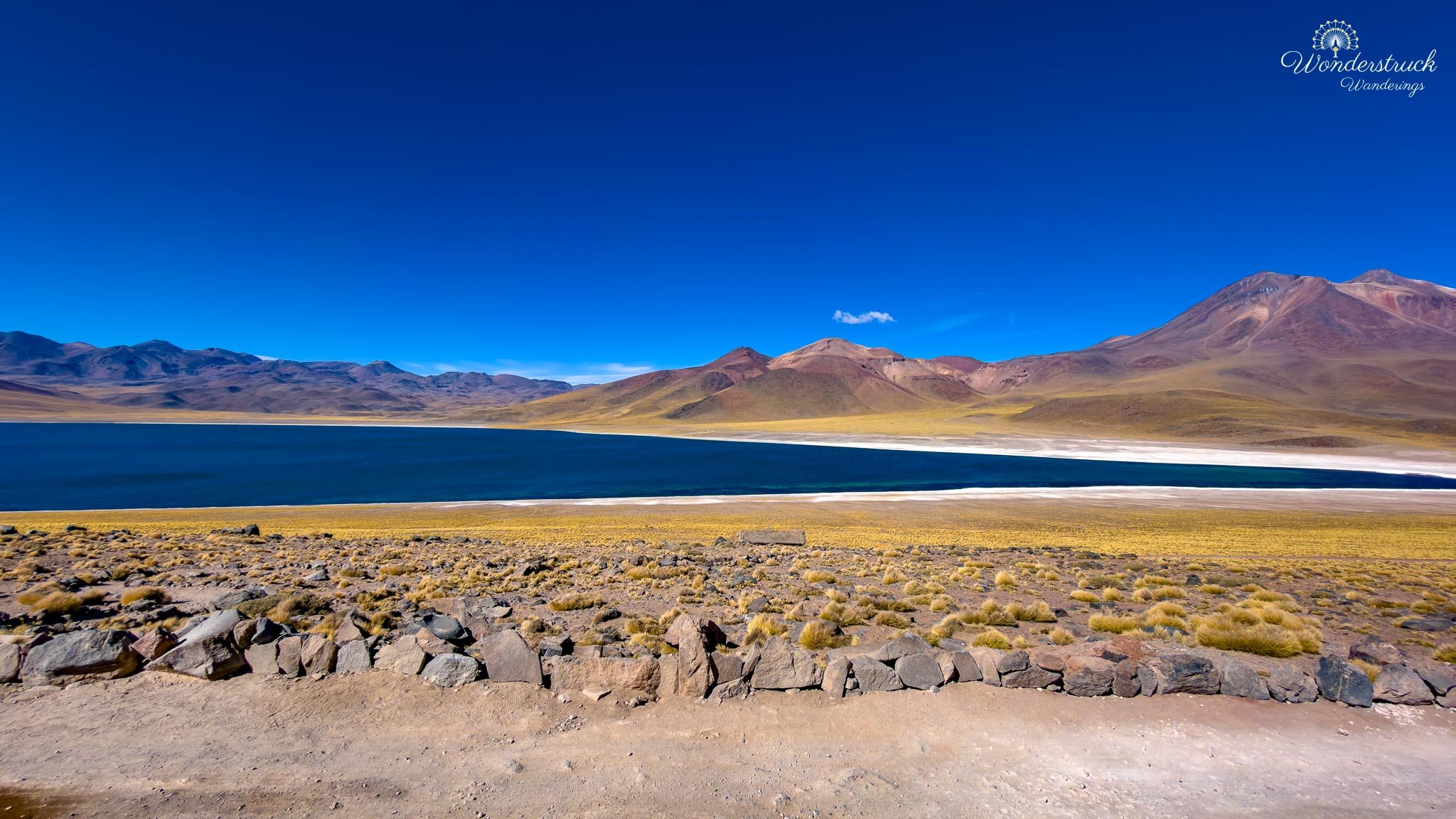
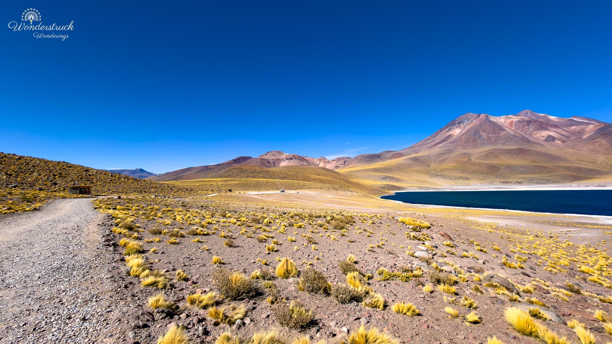
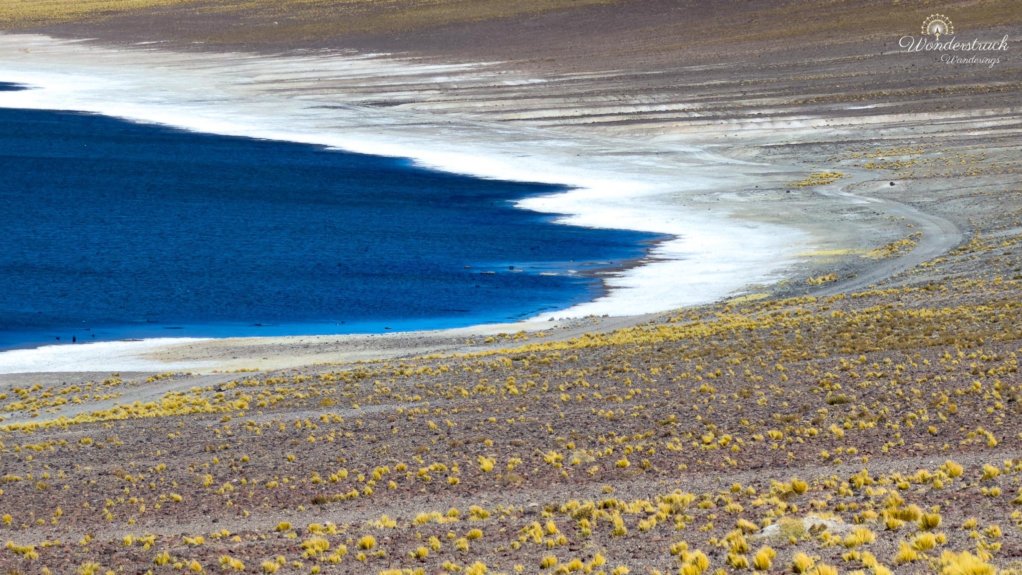
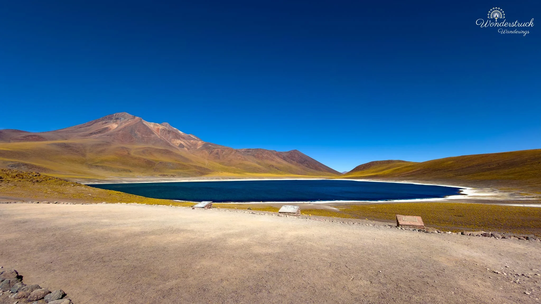
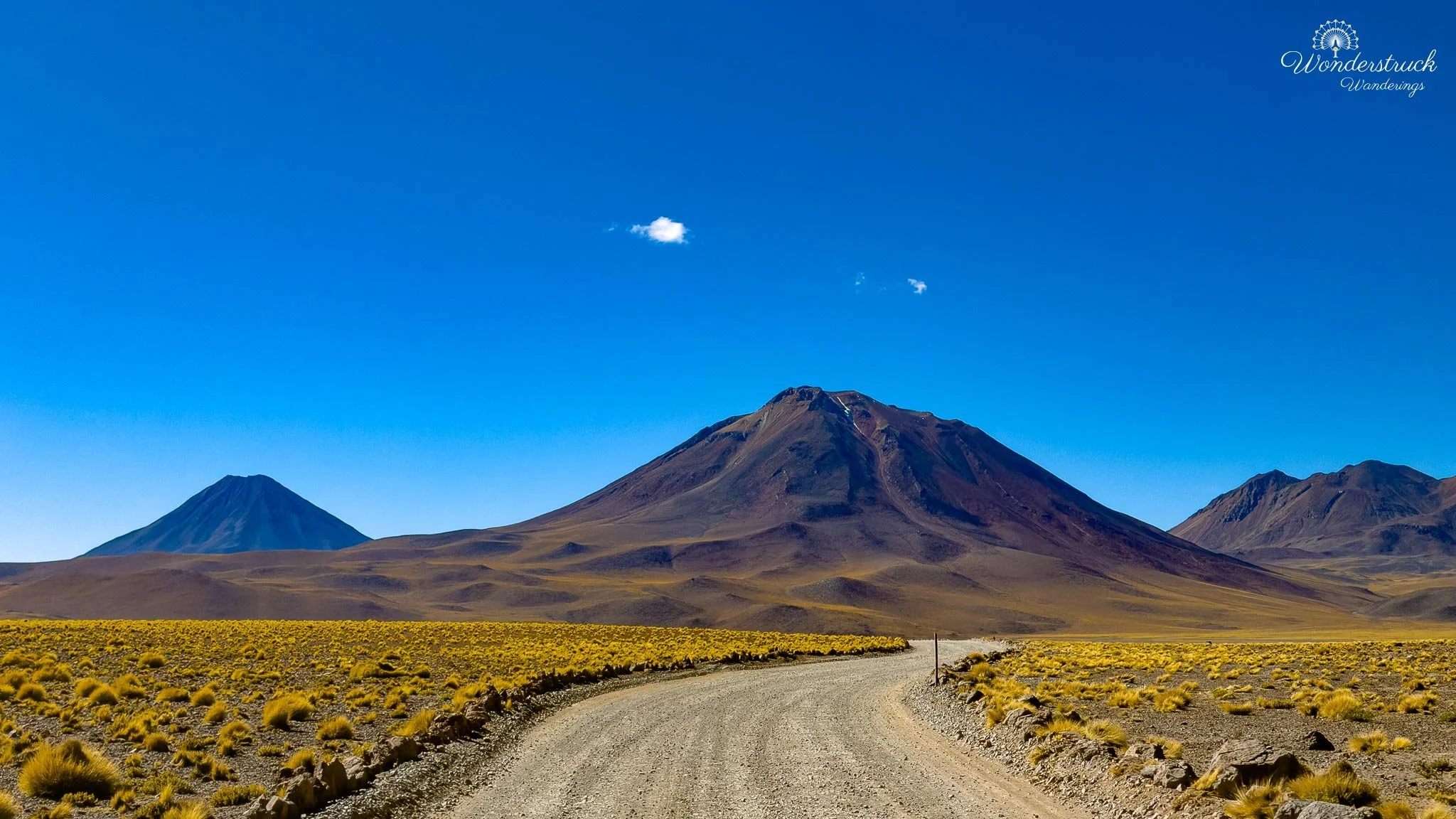
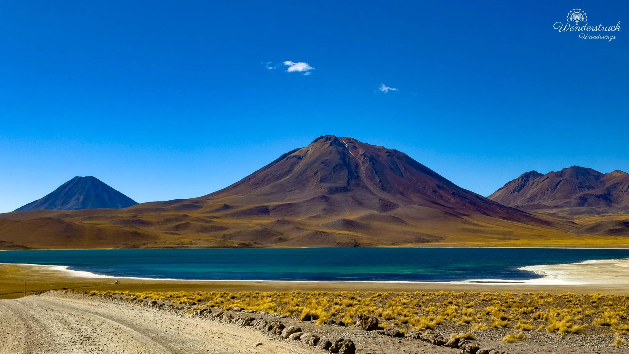
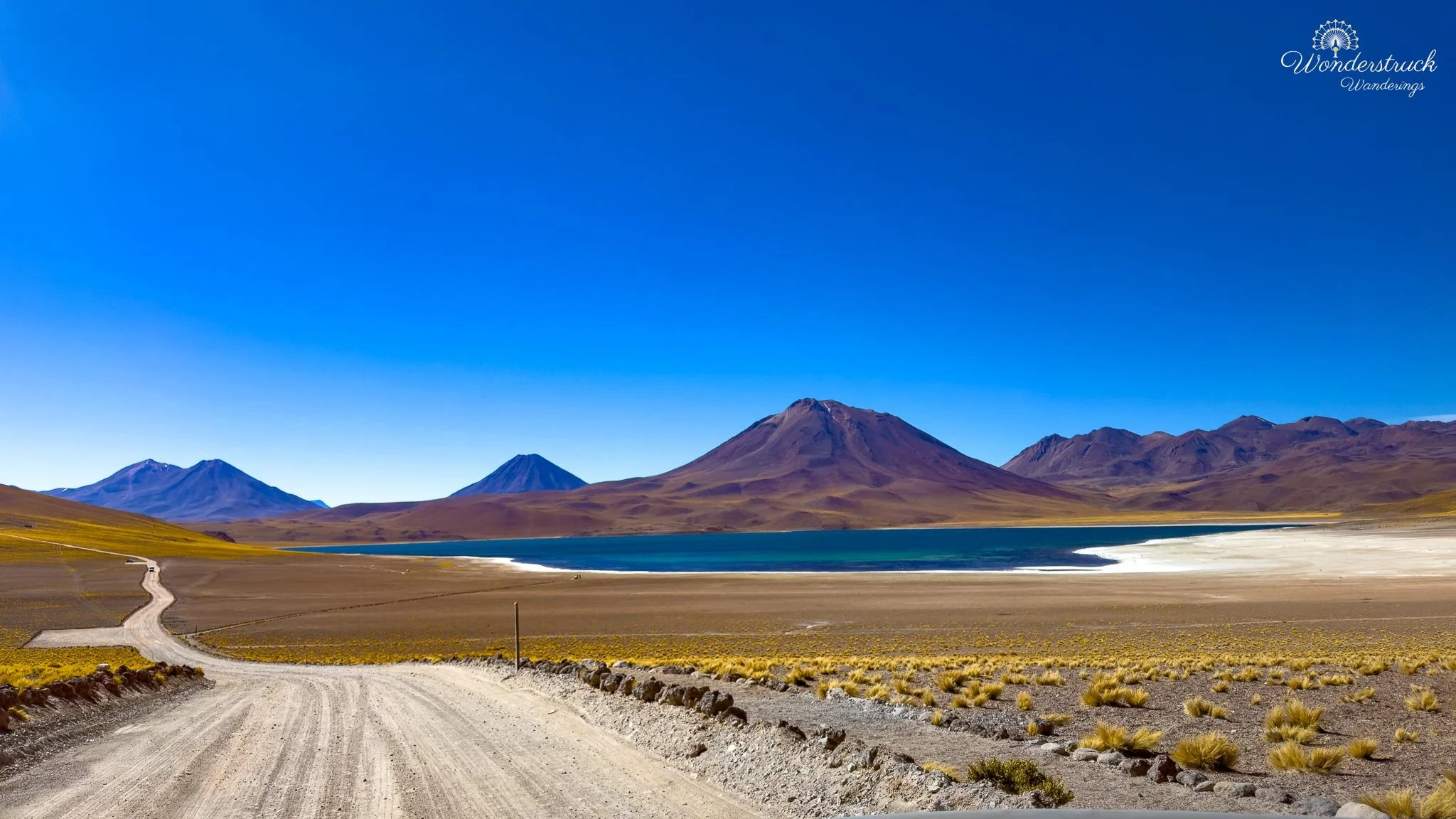
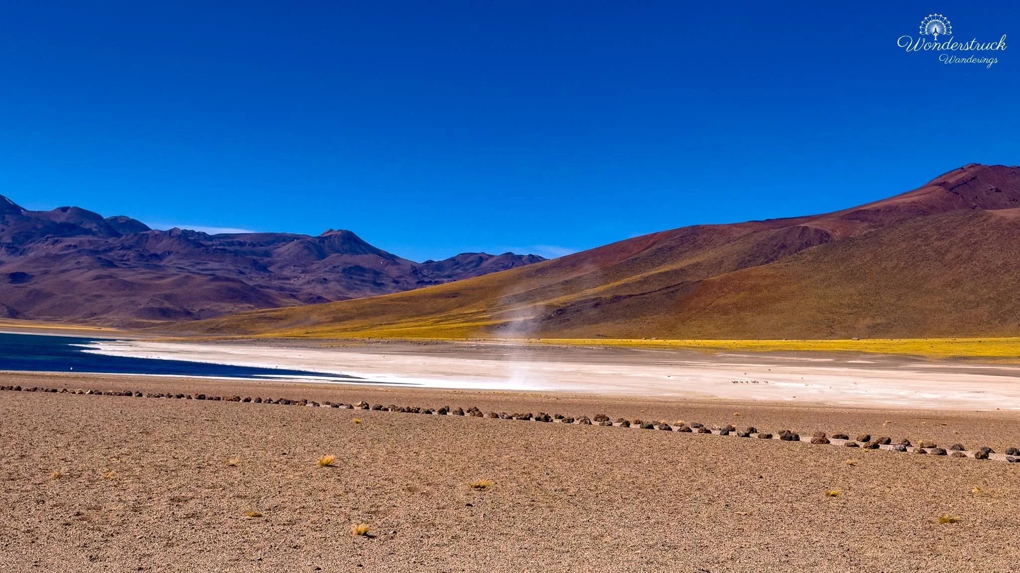
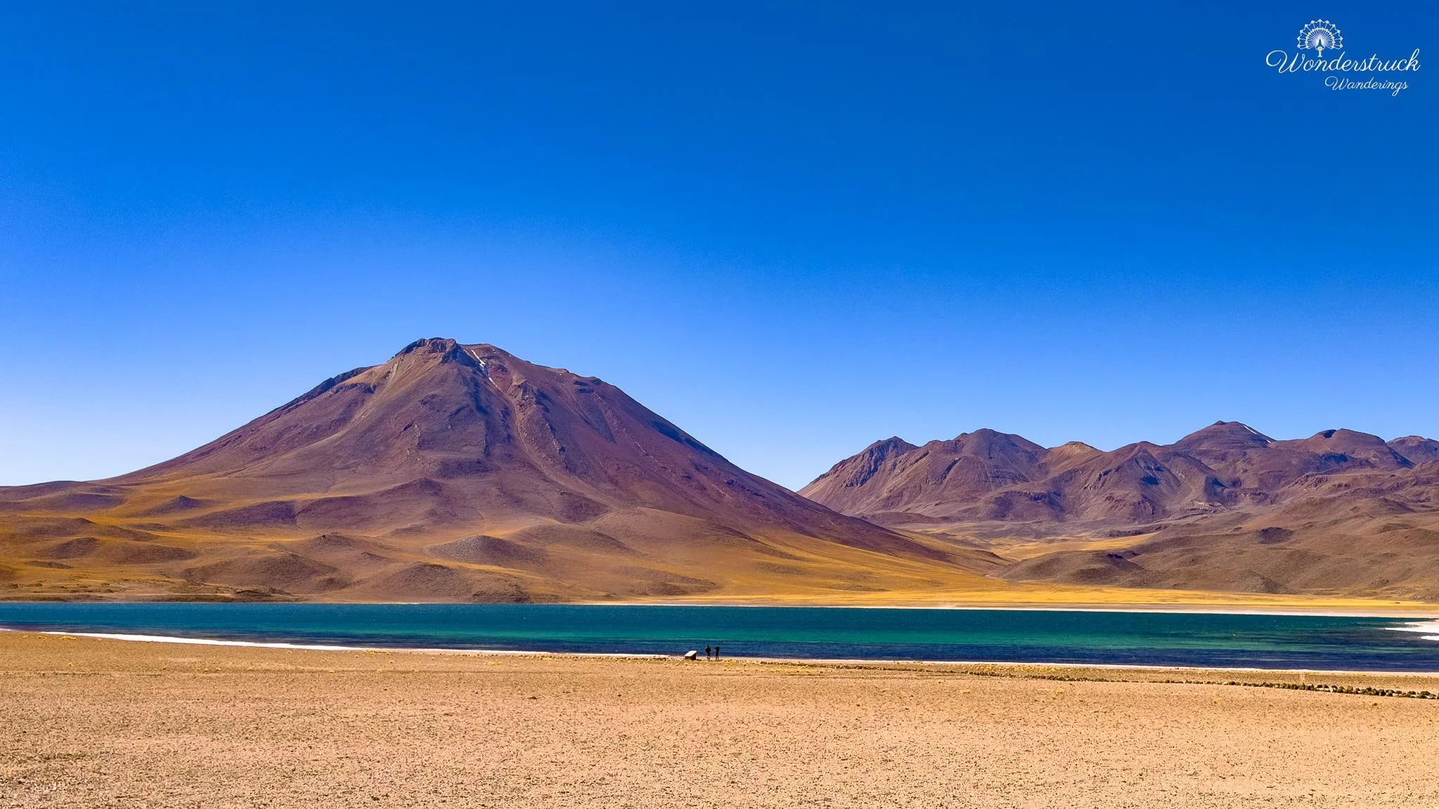
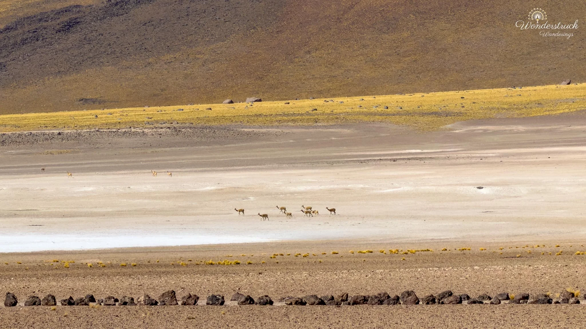
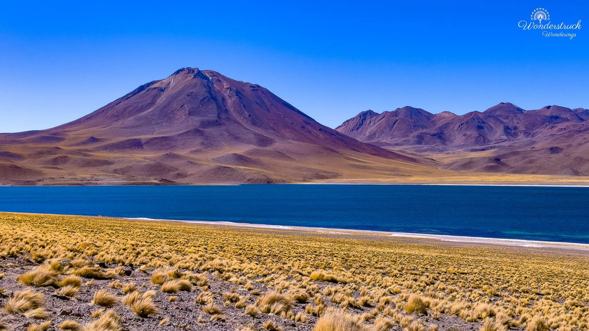
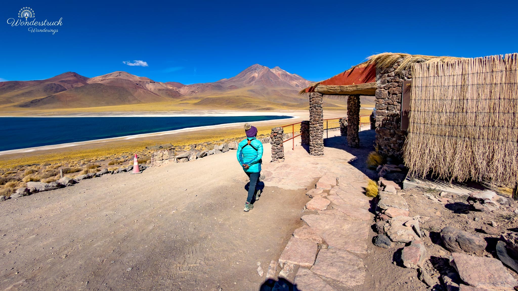
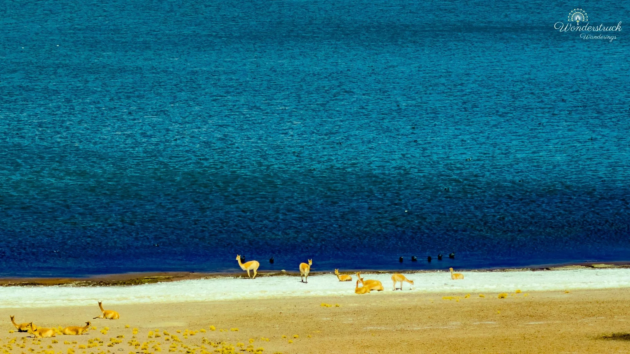
From the first viewpoint, we walked toward the next viewpoint along the marked path. There is a bathroom between the two points, which is very useful here. By this stage of the day, we were far from San Pedro, above 4,000 meters, and moving through a protected high-altitude landscape where facilities are limited. It was a small practical detail, but one we appreciated. What fascinated us most at Laguna Miñiques was not only the scenery, but the vicuña behavior along the salt-flat and lagoon edges. Young vicuñas were chasing each other near the water, breaking the stillness with sudden bursts of movement. Some were playing, some were testing each other, and others seemed to be following the adults down from the slopes behind us toward the lagoon edge. Whole family groups moved through the puna grass, pausing, watching, approaching the water, and then scattering back when another group got too close. It was unexpectedly entertaining. In a landscape this grand and quiet, those small bursts of animal energy stood out even more. The lagoon, volcano, wind, and altitude gave Miñiques its dramatic scale, but the vicuñas gave it personality. They made the high plateau feel less like a postcard and more like a living place—harsh, beautiful, and full of quiet movement if you stayed long enough to watch.
Piedras Rojas, Tropic of Capricorn, and Cordillera de la Sal Sunset
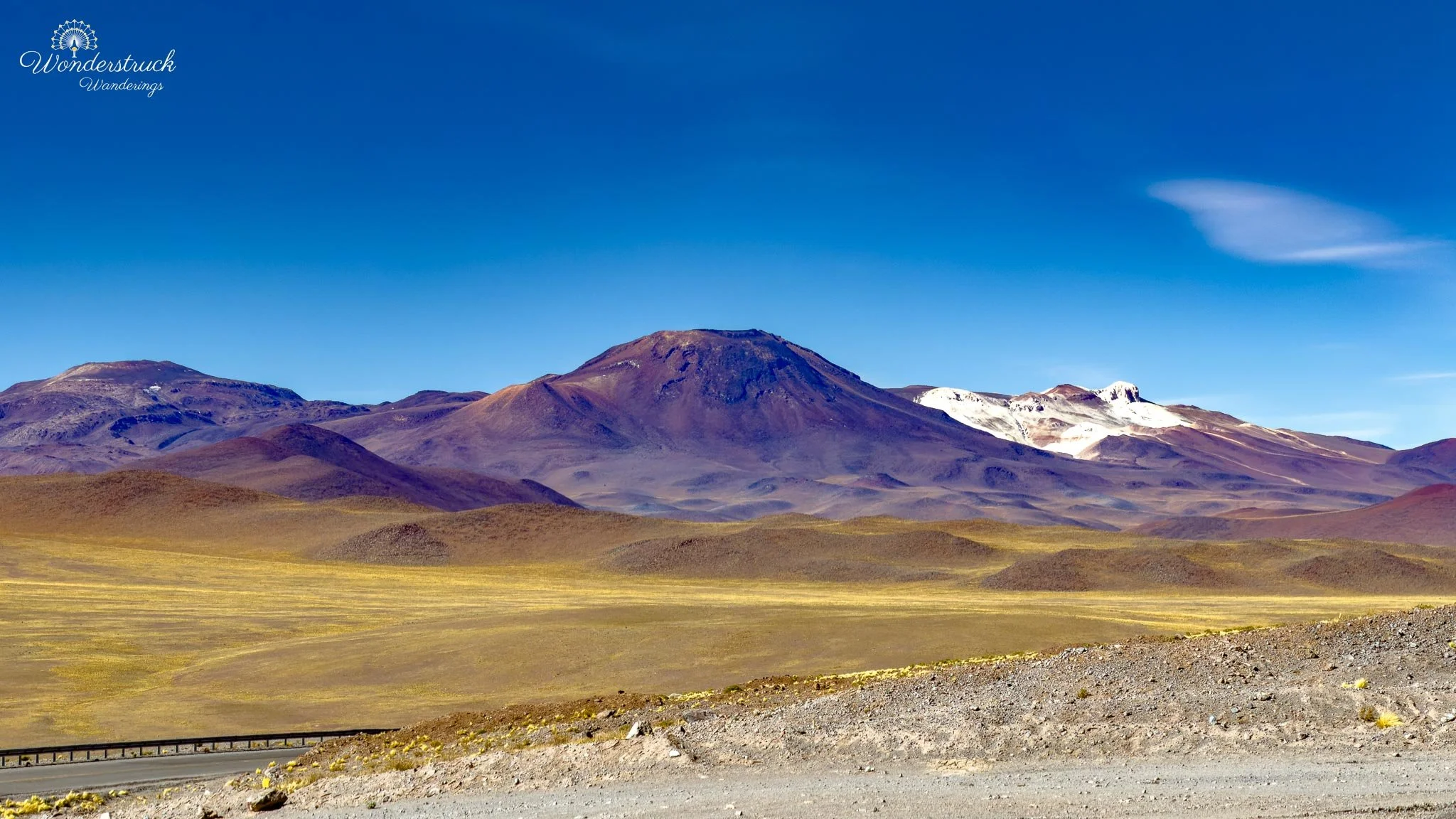
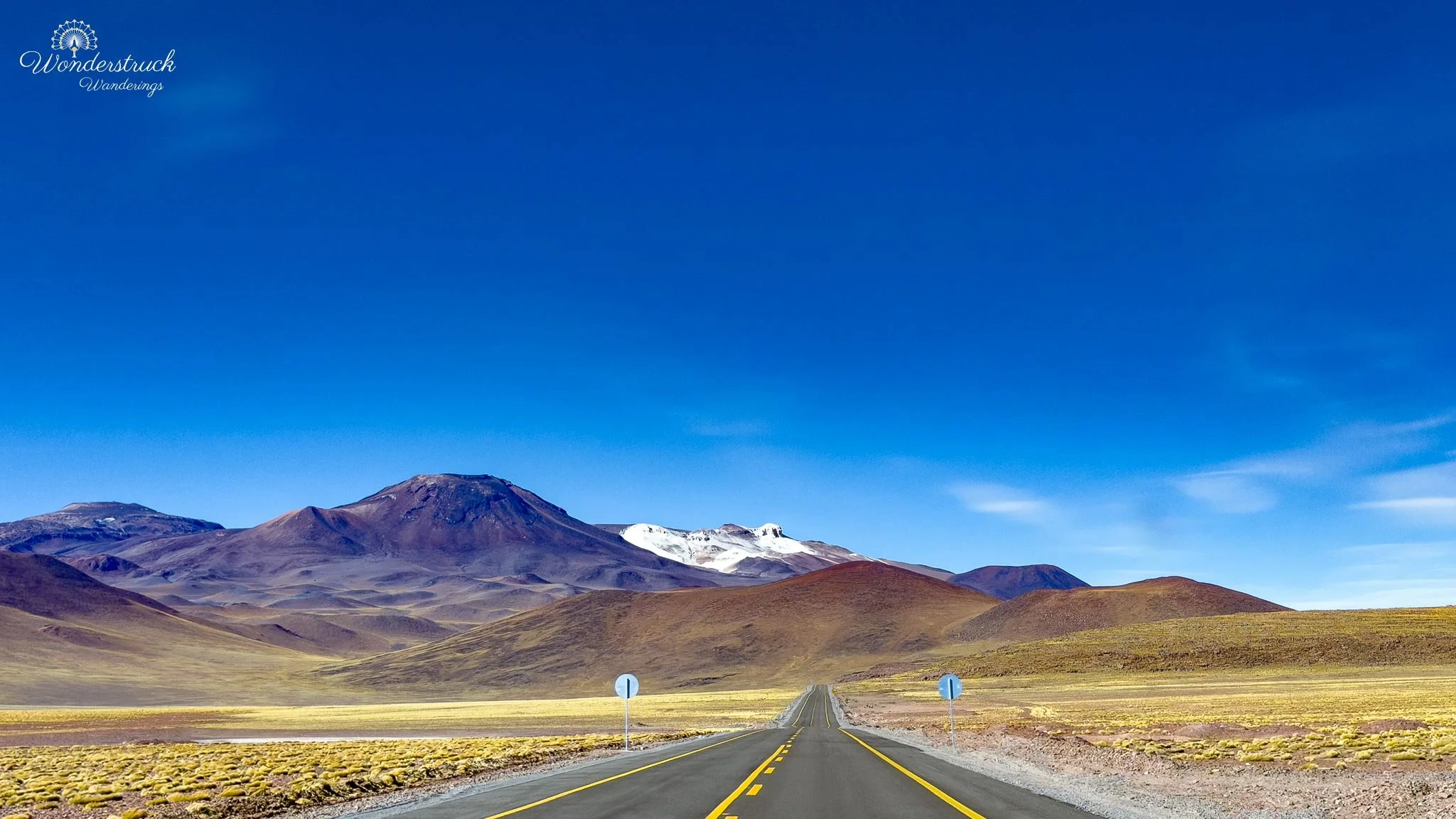
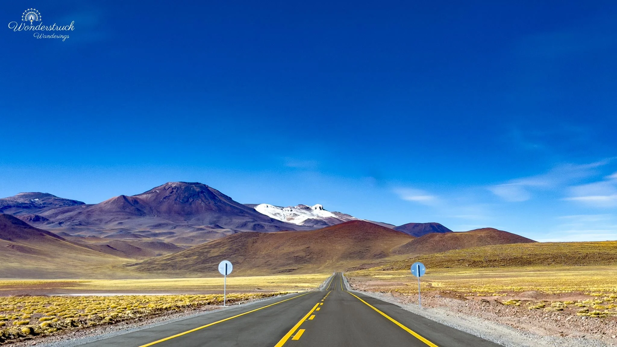
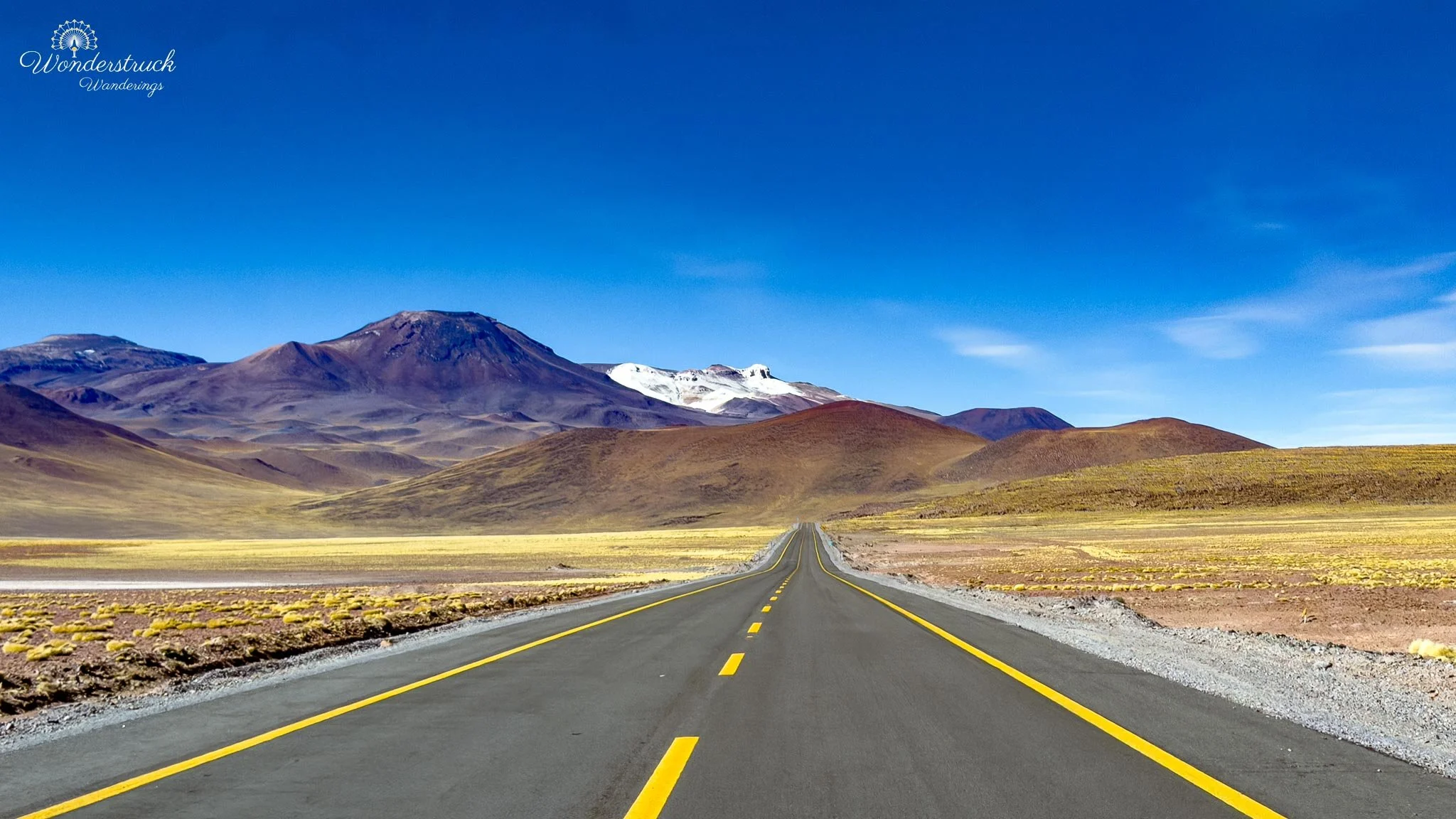
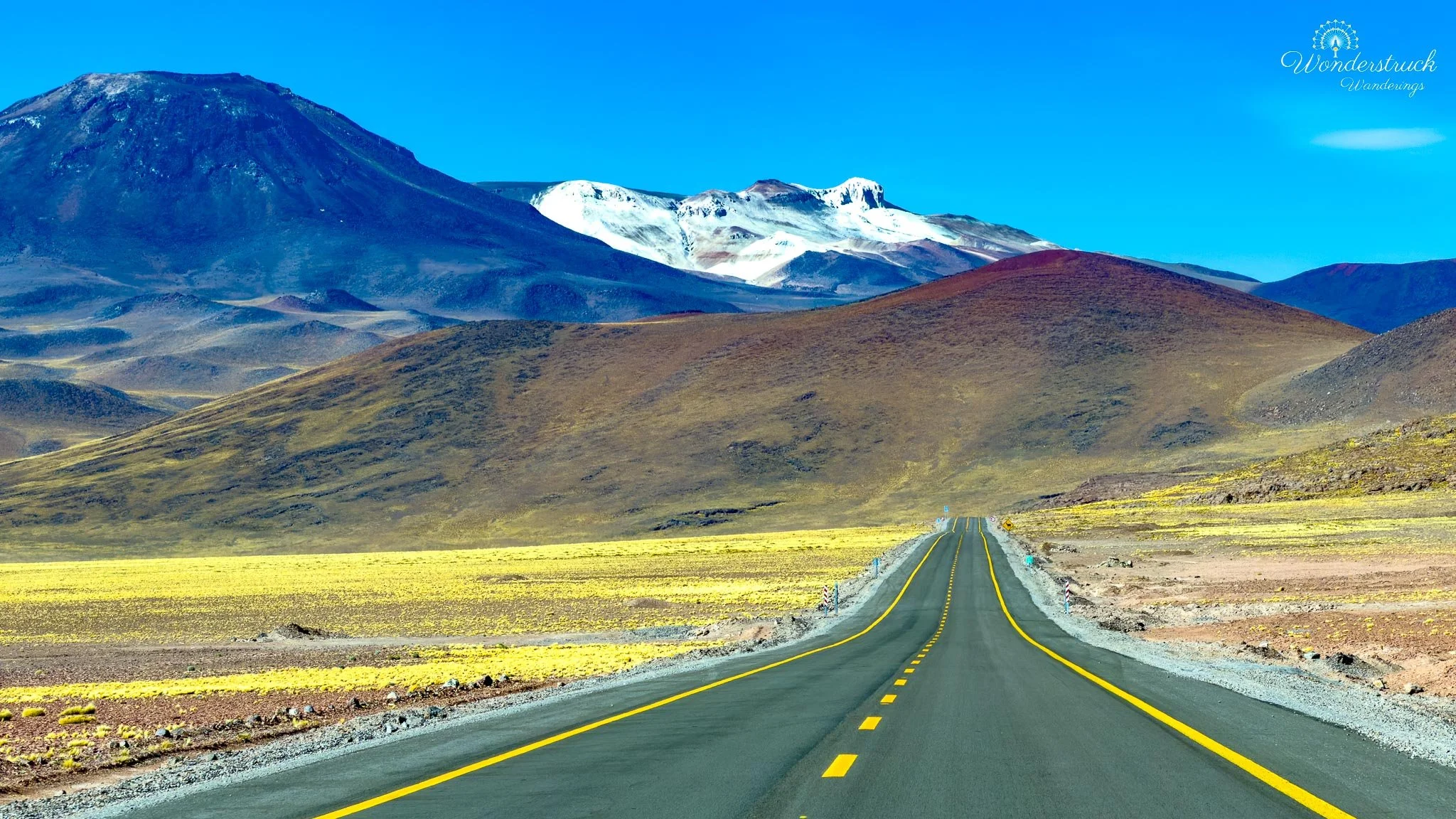
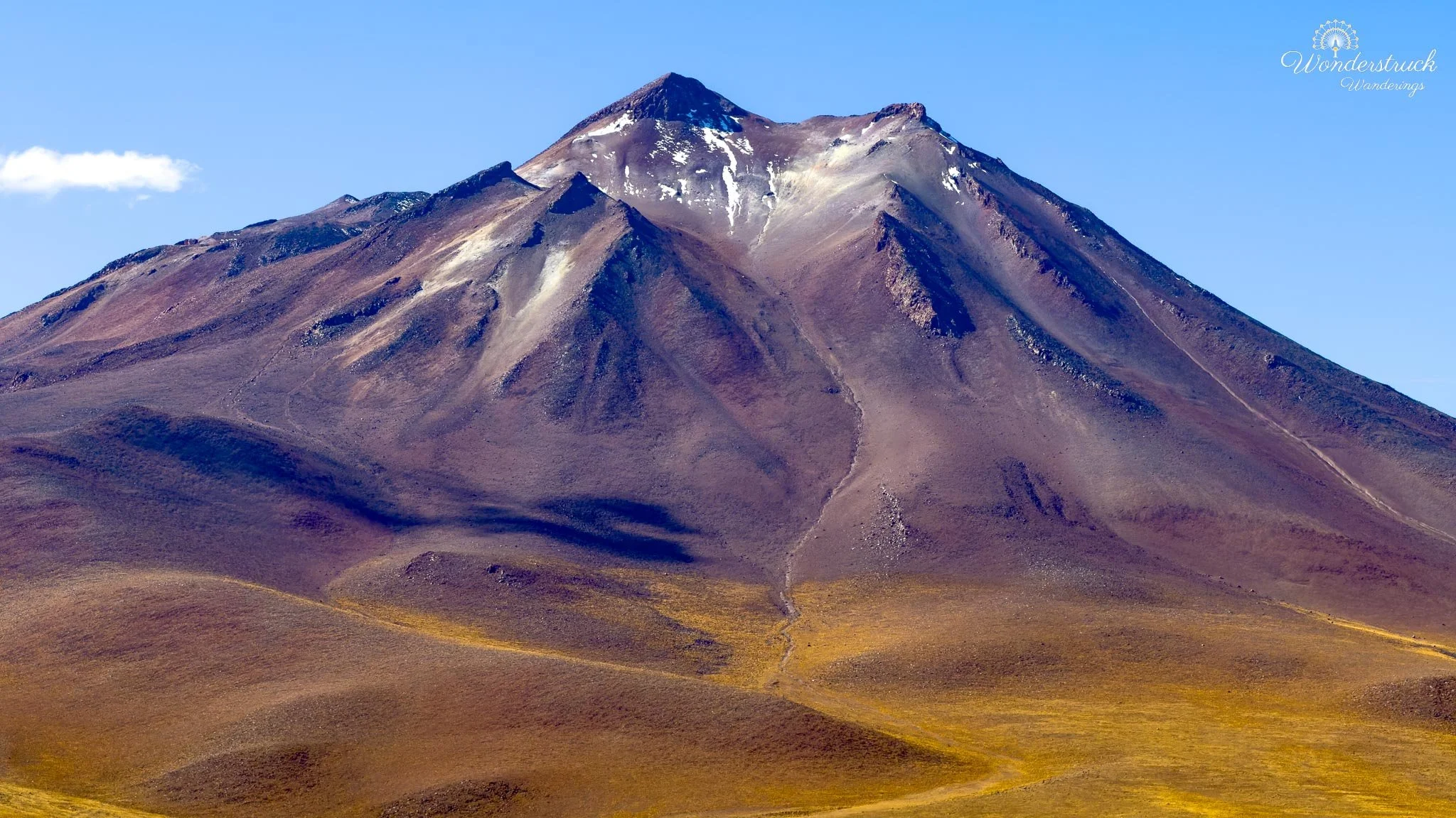
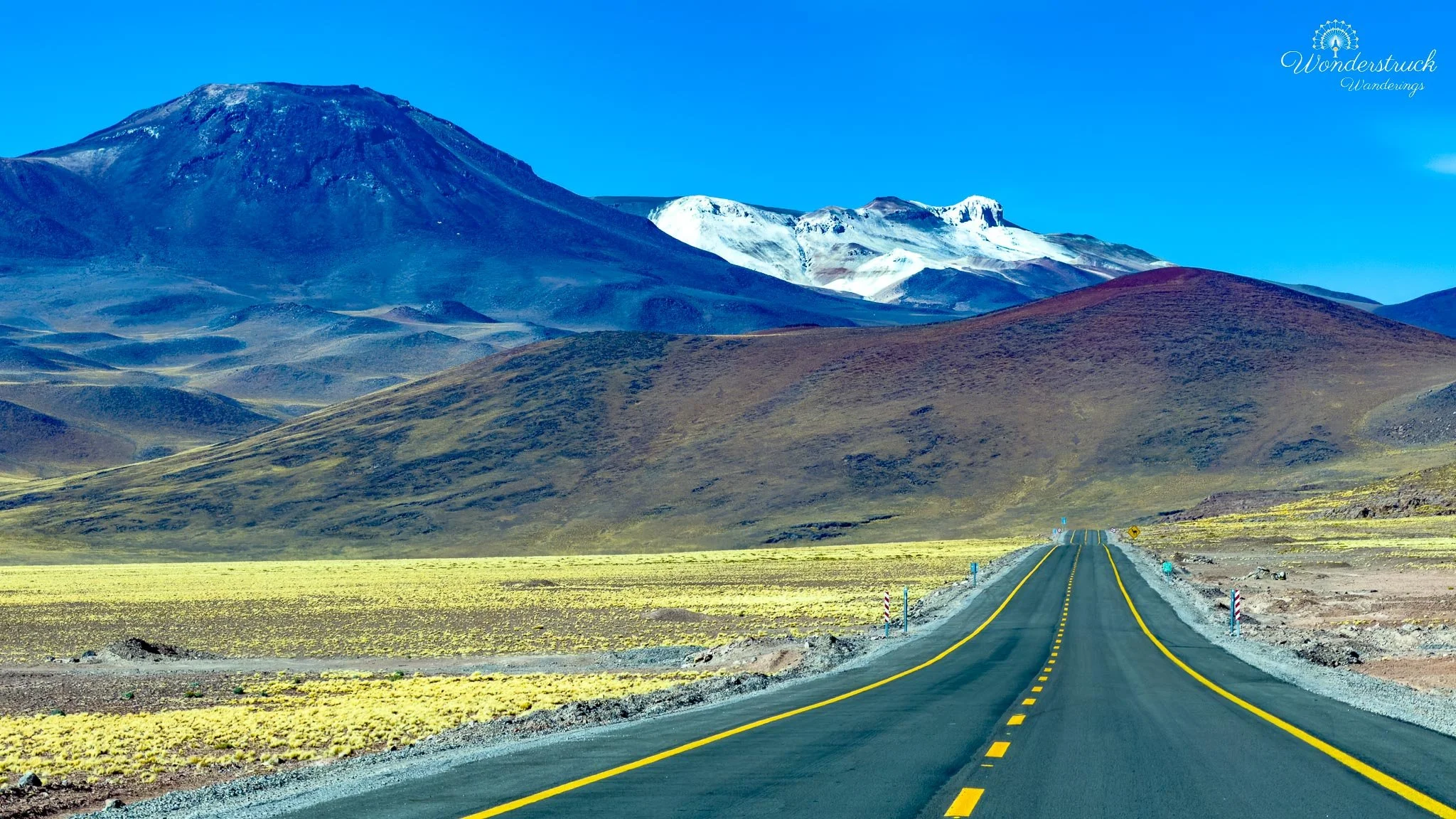
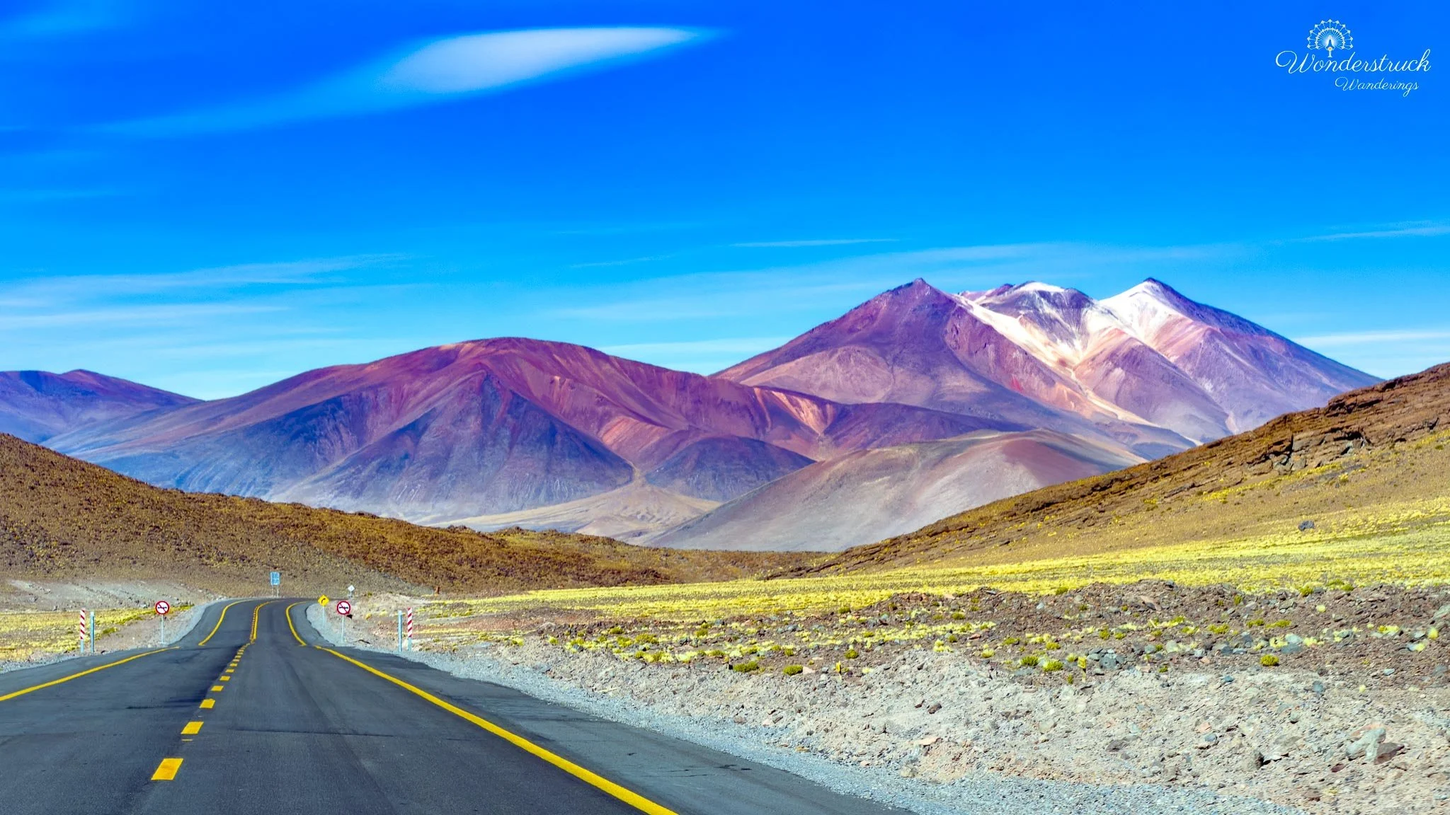
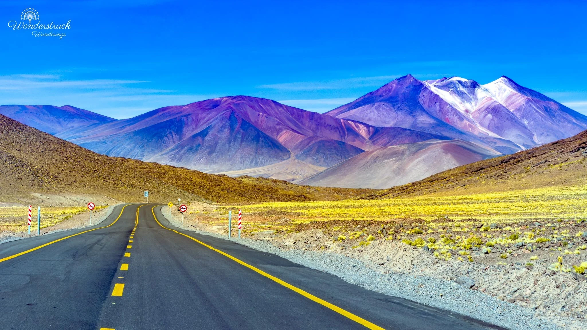
After the Altiplanic Lagoons, we continued farther south along Ruta 23 toward Piedras Rojas, the red-rock area near Salar de Aguas Calientes Sur. From the Miscanti and Miñiques sector, the drive is not extremely long, but it feels like you are moving deeper into the high plateau. The road stays high, around the 4,000-meter range, and the landscape becomes wider, emptier, and more exposed with every kilometer. Volcanoes lined the horizon, the sky felt enormous, and the road cut through a world of pale grasses, salt flats, colored hills, and distant peaks. This was one of the most beautiful drives of the trip. Around Miscanti and Miñiques, the named volcanoes dominate the scene directly, but farther south the landscape opens into a broader volcanic panorama. The high plateau begins stacking mountains, mineral flats, and colored slopes across the horizon. The scenery is not lush or soft; it is stark, wind-shaped, and monumental. Every turn seemed to reveal another combination of salt, rock, water, mountain, and sky.
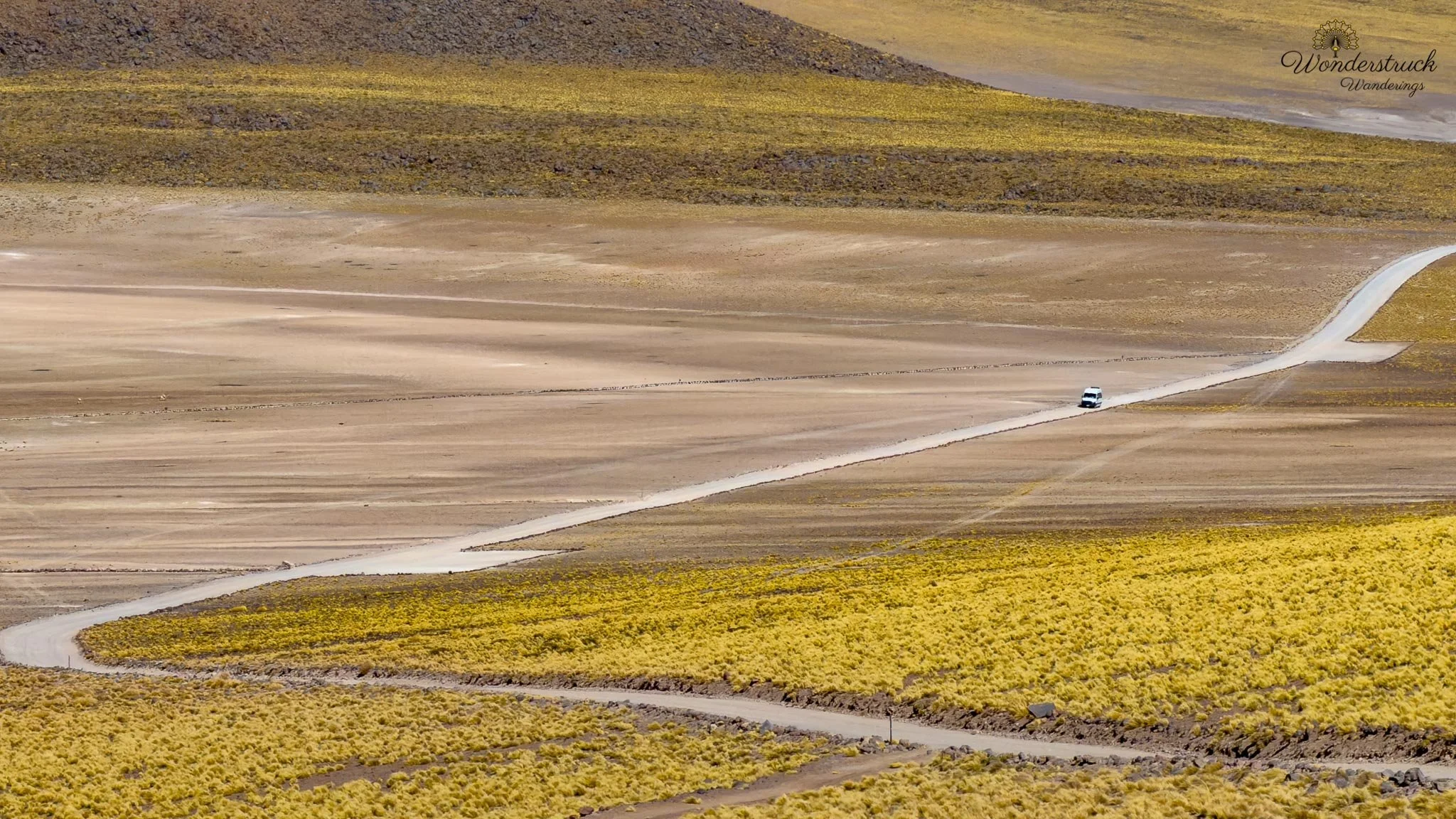
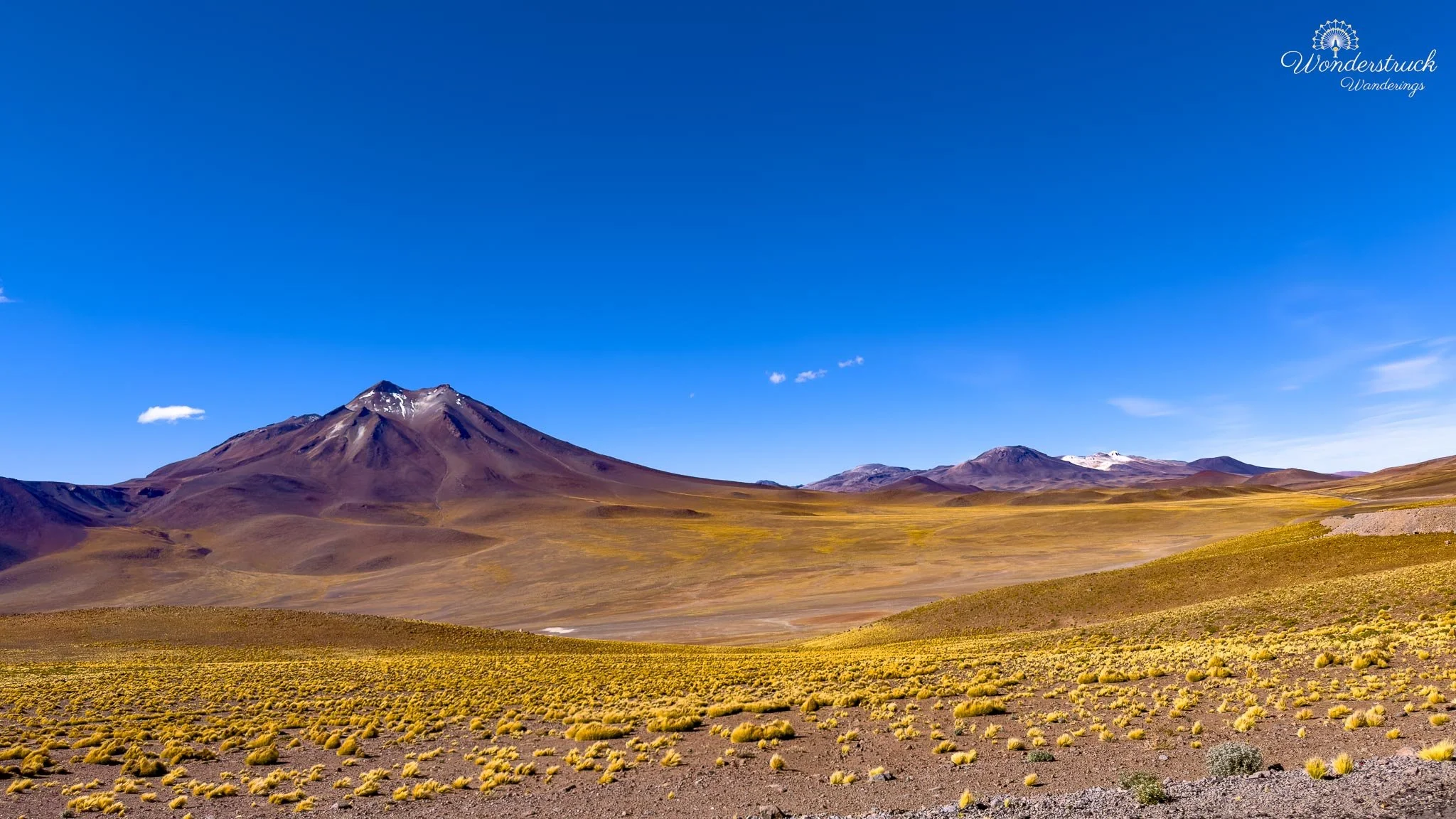
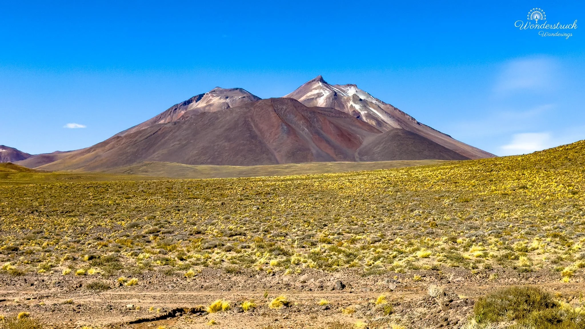
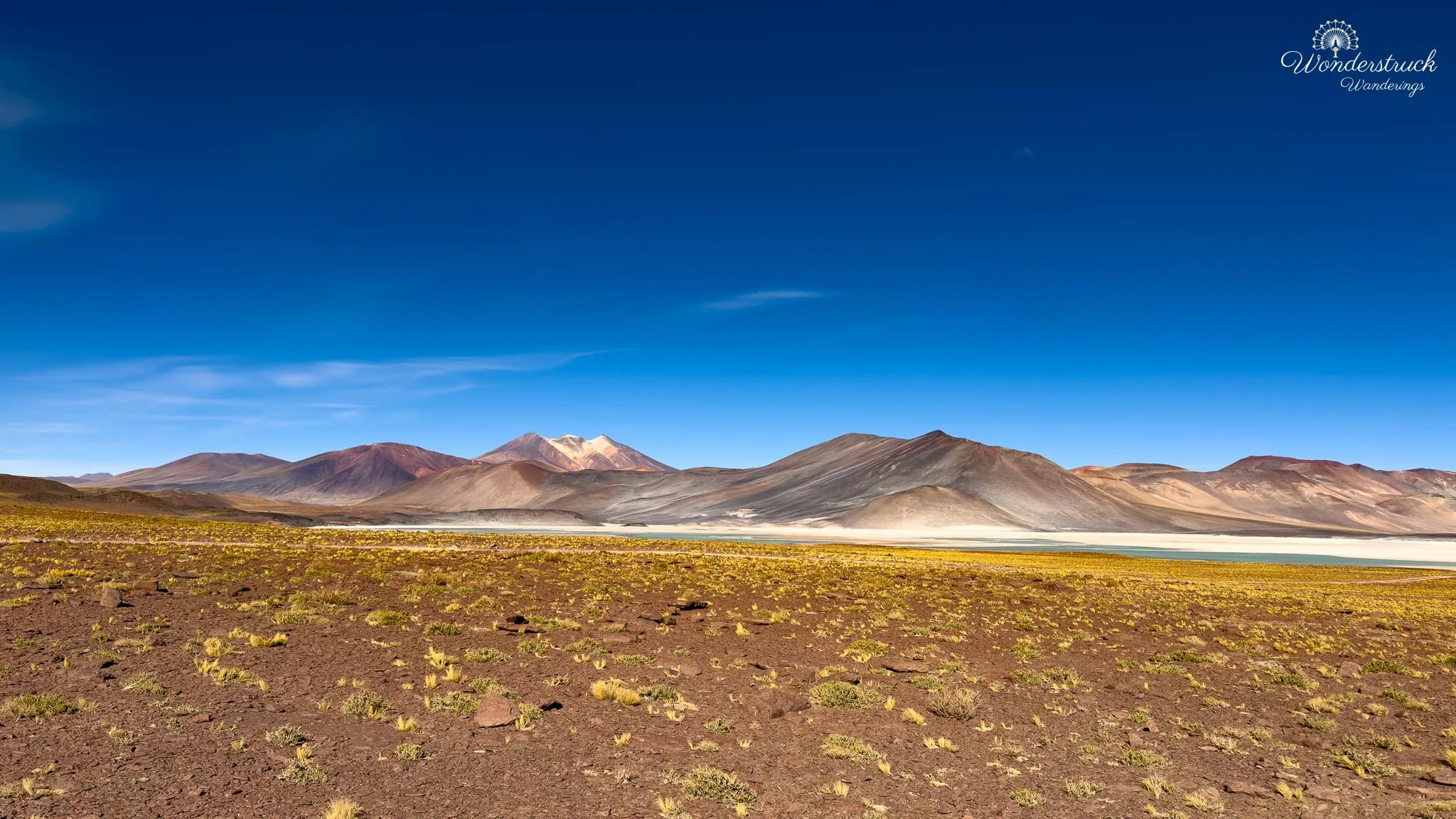
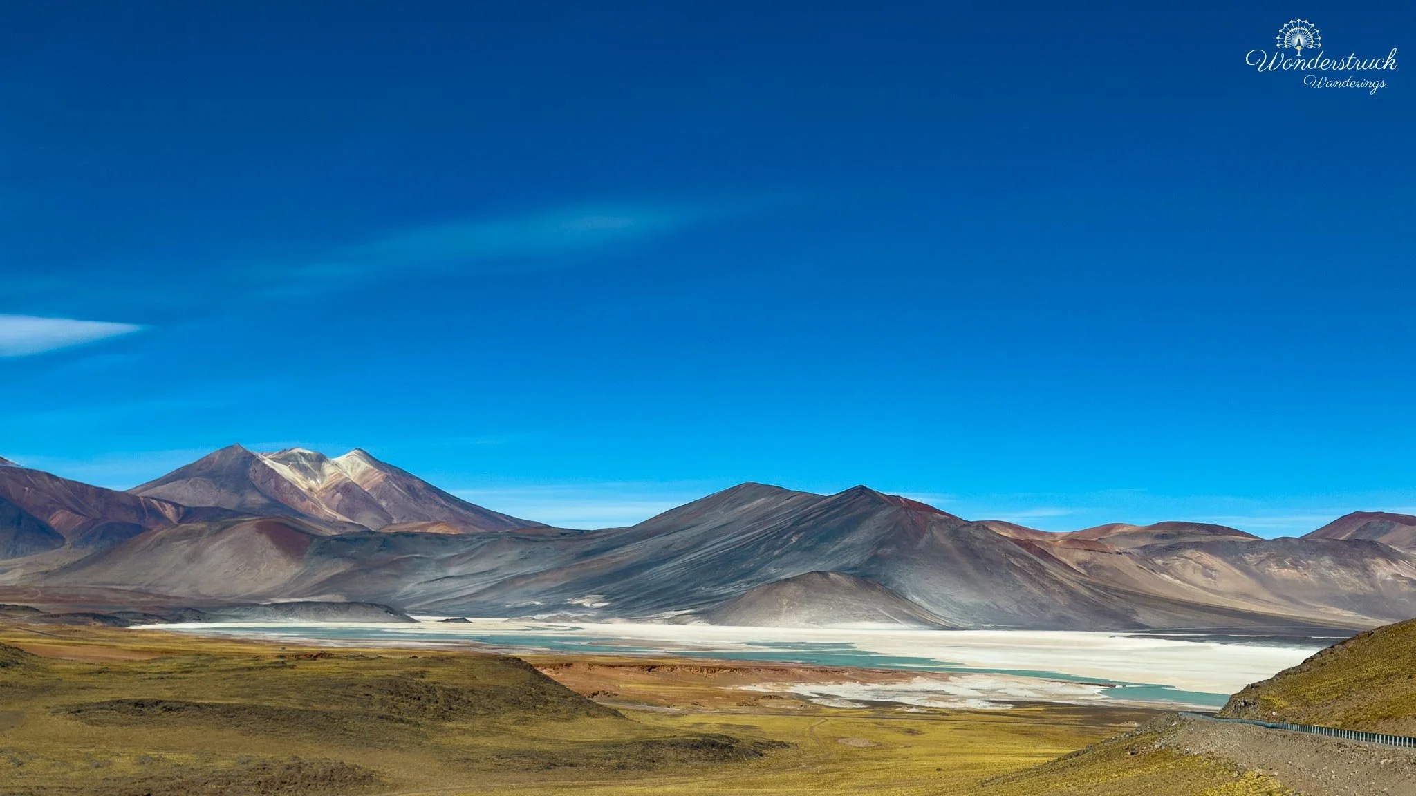
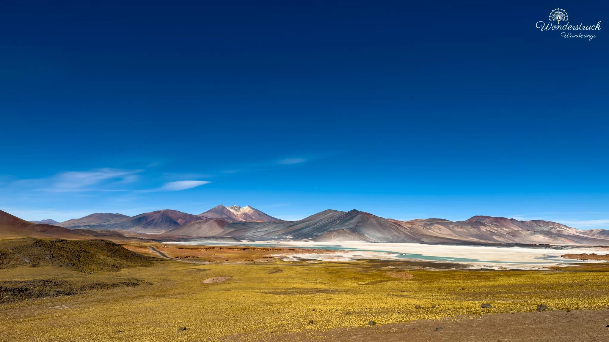
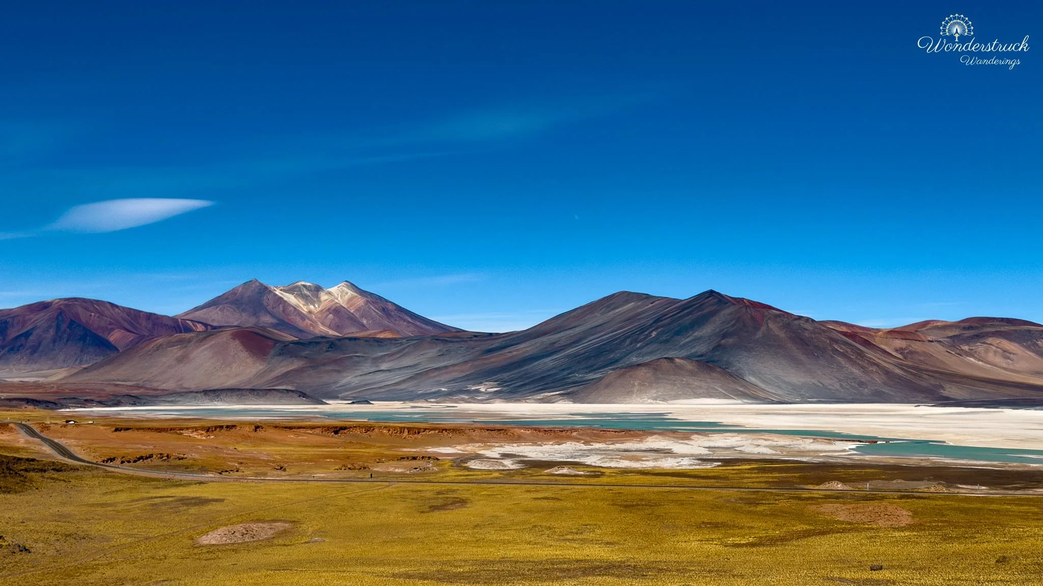
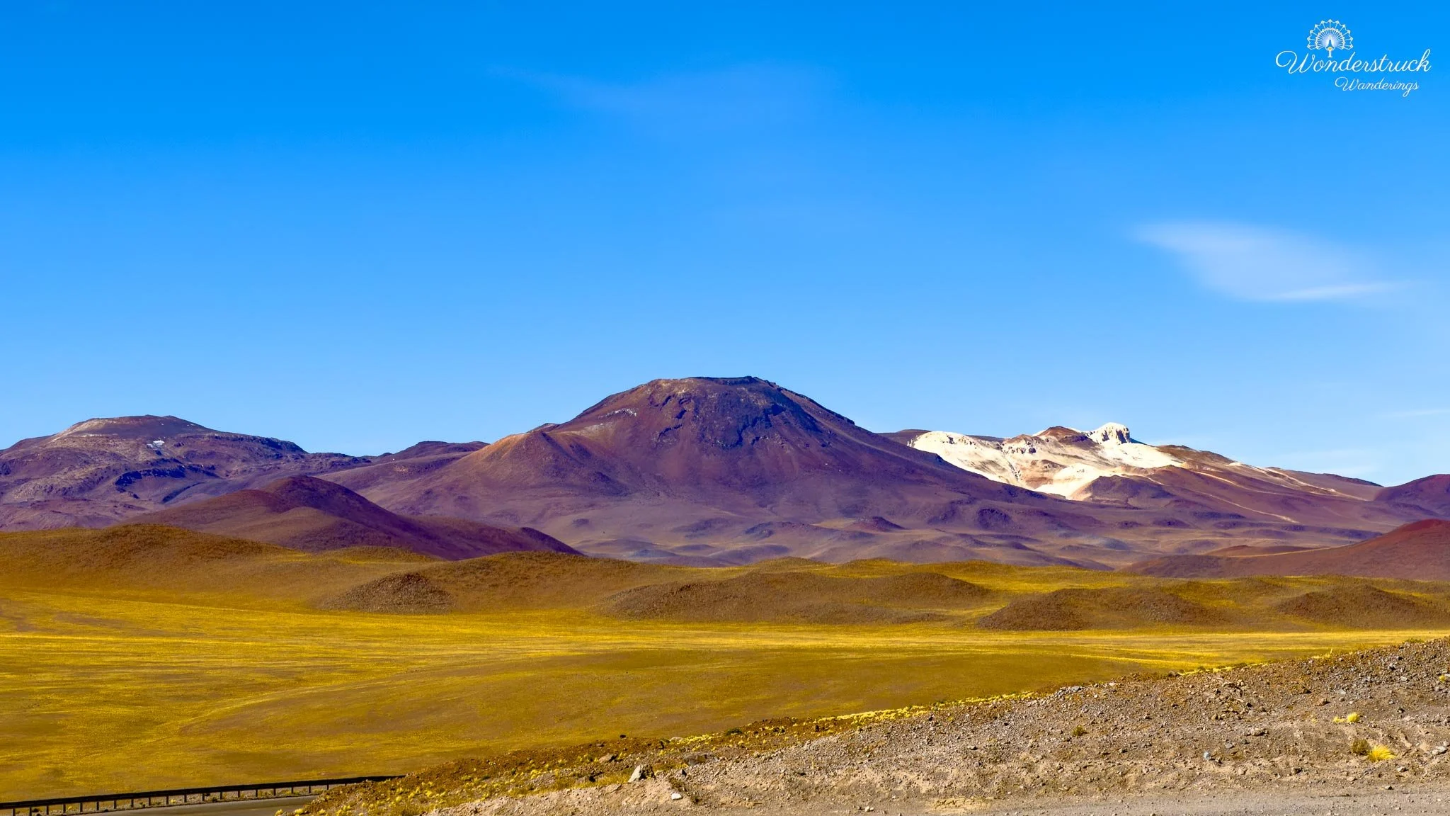
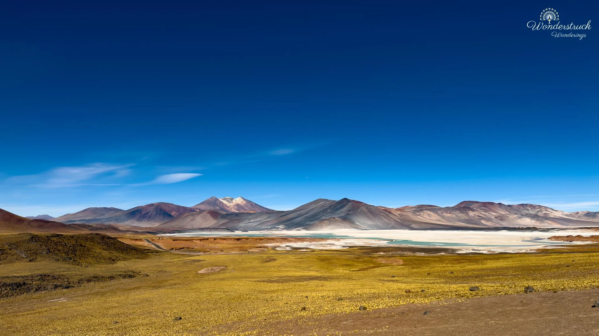
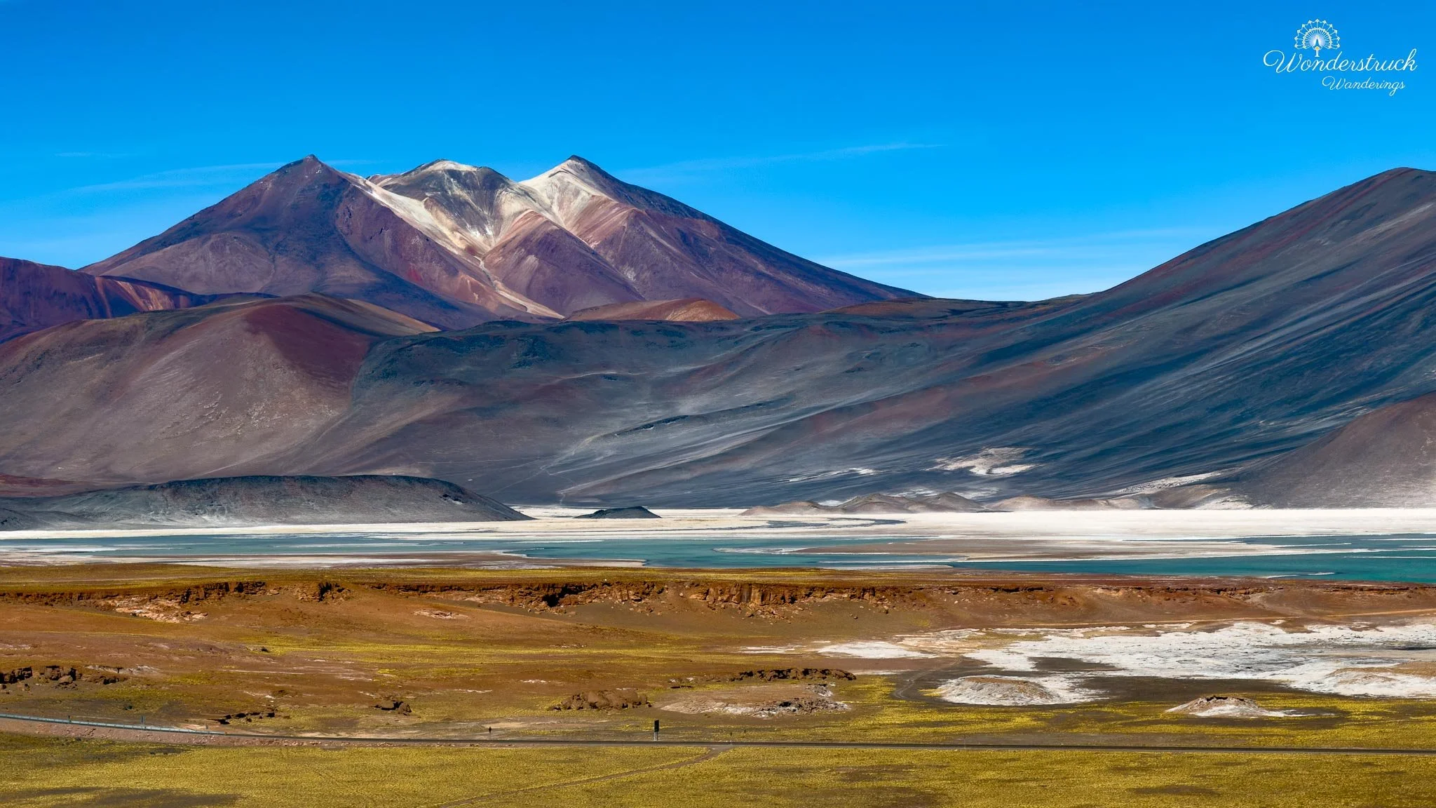
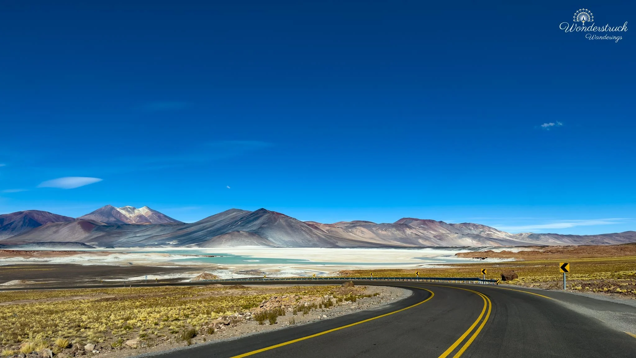
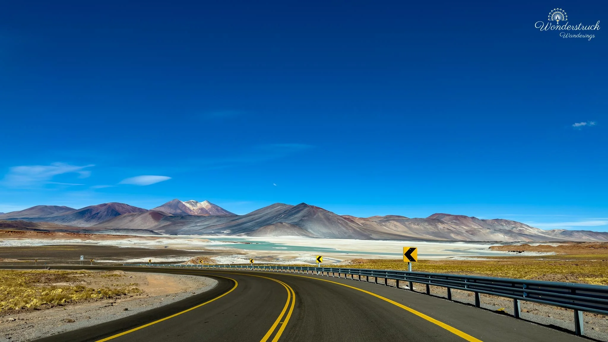
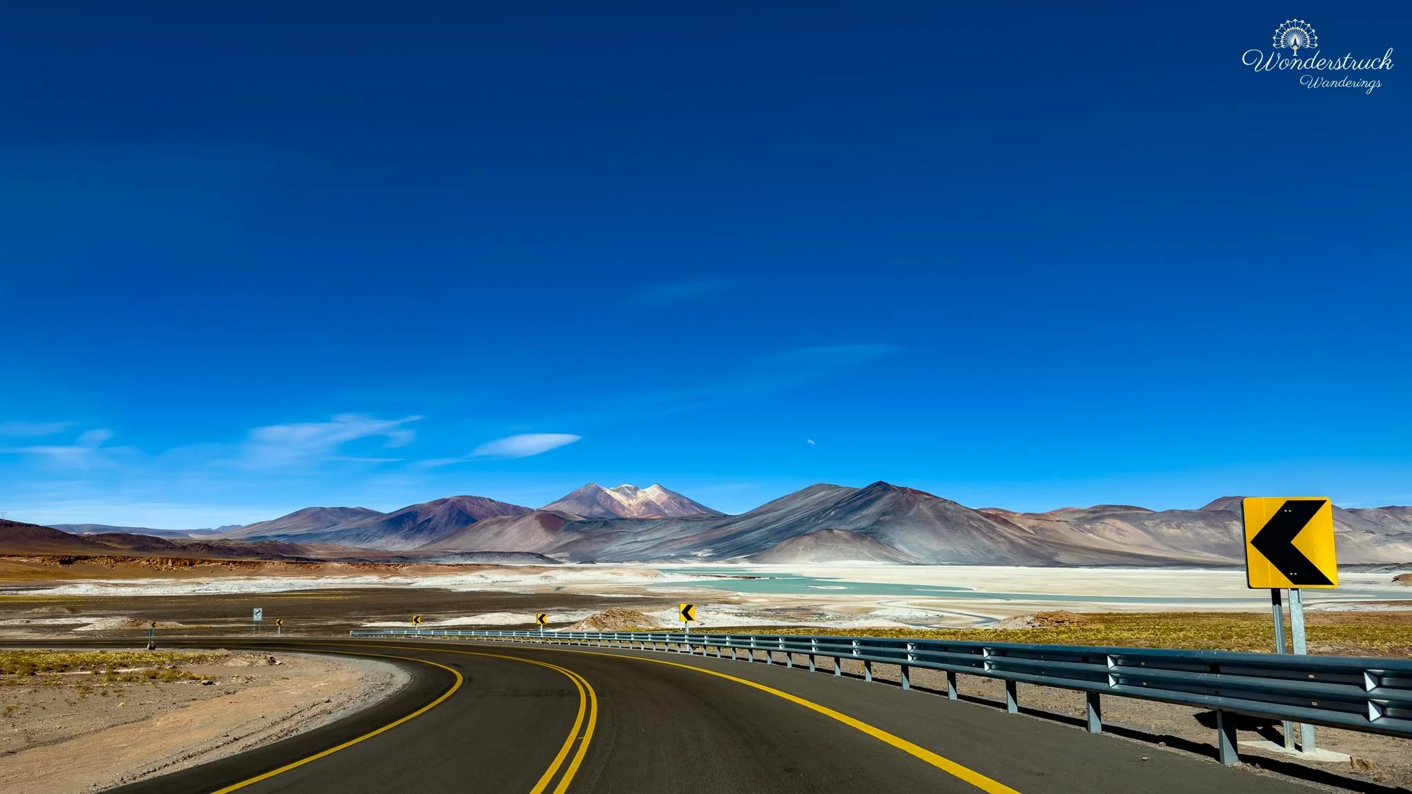
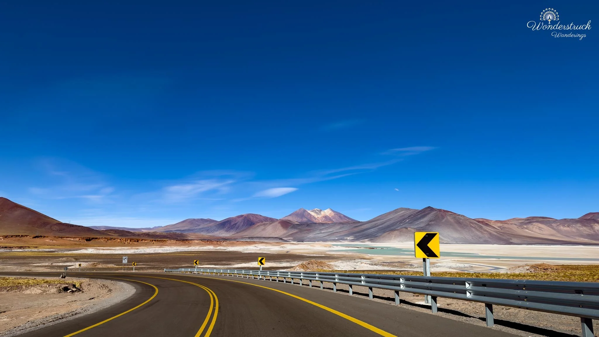
When we reached the Piedras Rojas area, it was sunny, cold, and windy—the kind of high-altitude wind that cuts through you even when the sun is bright. As the road started descending toward the site, we reached an incredible overlook where the whole landscape opened below us. That first overhead view was one of the most striking scenes of the day: rust-red rock in the foreground, pale salt around the edges, blue-green water beyond it, and mountains holding the horizon. The colors almost sound exaggerated until you actually see them together. Red, white, turquoise, brown, and deep blue all sitting in one high-Andean basin. At the control office, we checked in again and were told that the site would close earlier than we had hoped. We had heard different versions of the timing—some suggesting later closing times—and we had hoped there might be a chance to stay closer to sunset. But once we arrived, the instructions were clear. The right-side viewpoint or trail was closed for reasons we could not fully understand, and we were directed to take the left trail instead. It was slightly frustrating, especially after planning the day around light and timing, but in a protected area, the staff’s instructions are the final word. We adjusted and made the most of the time we had.
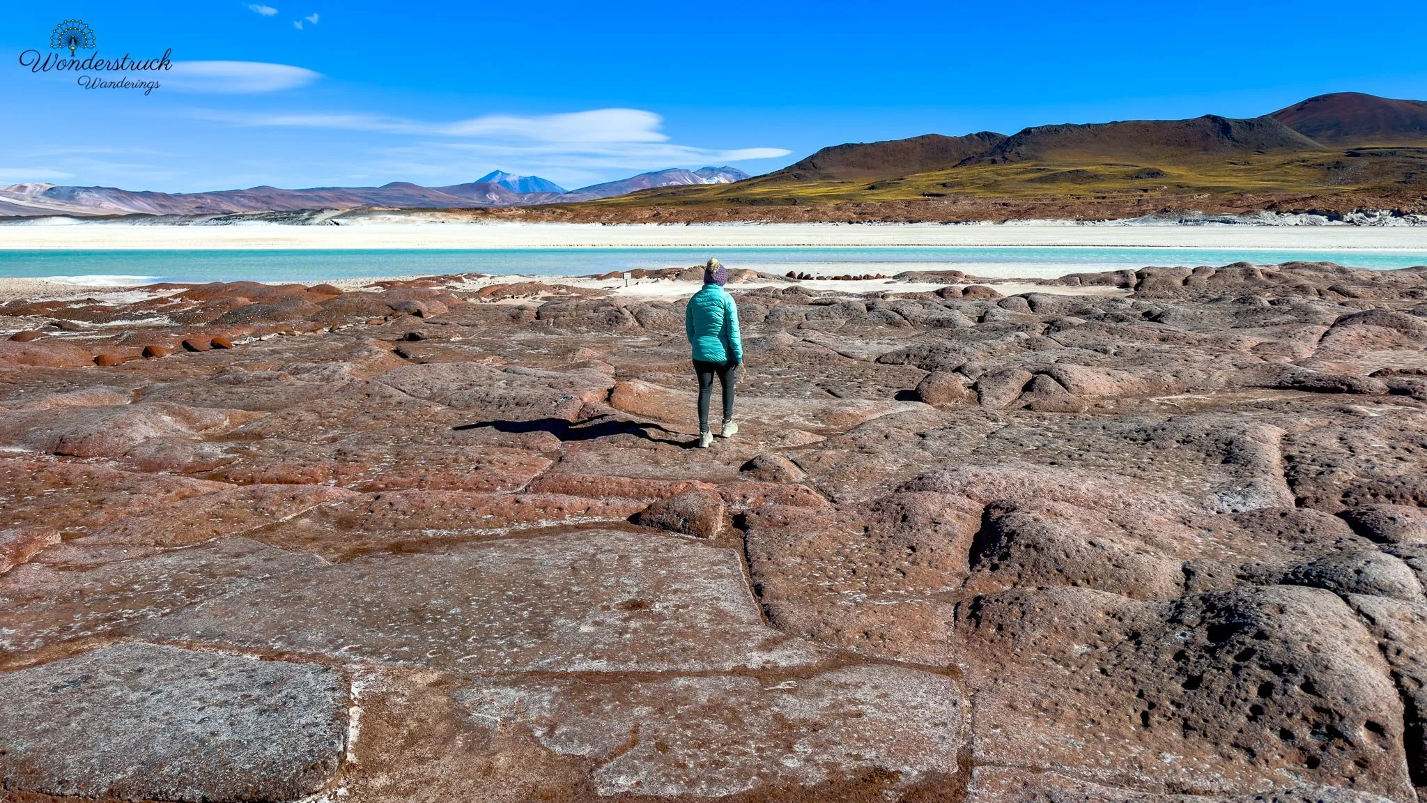
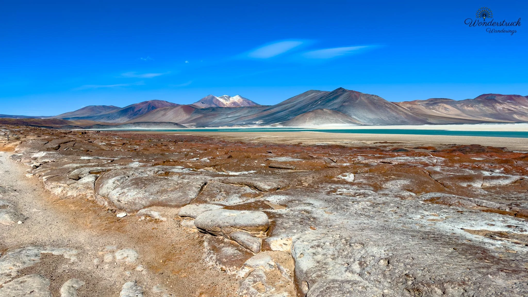
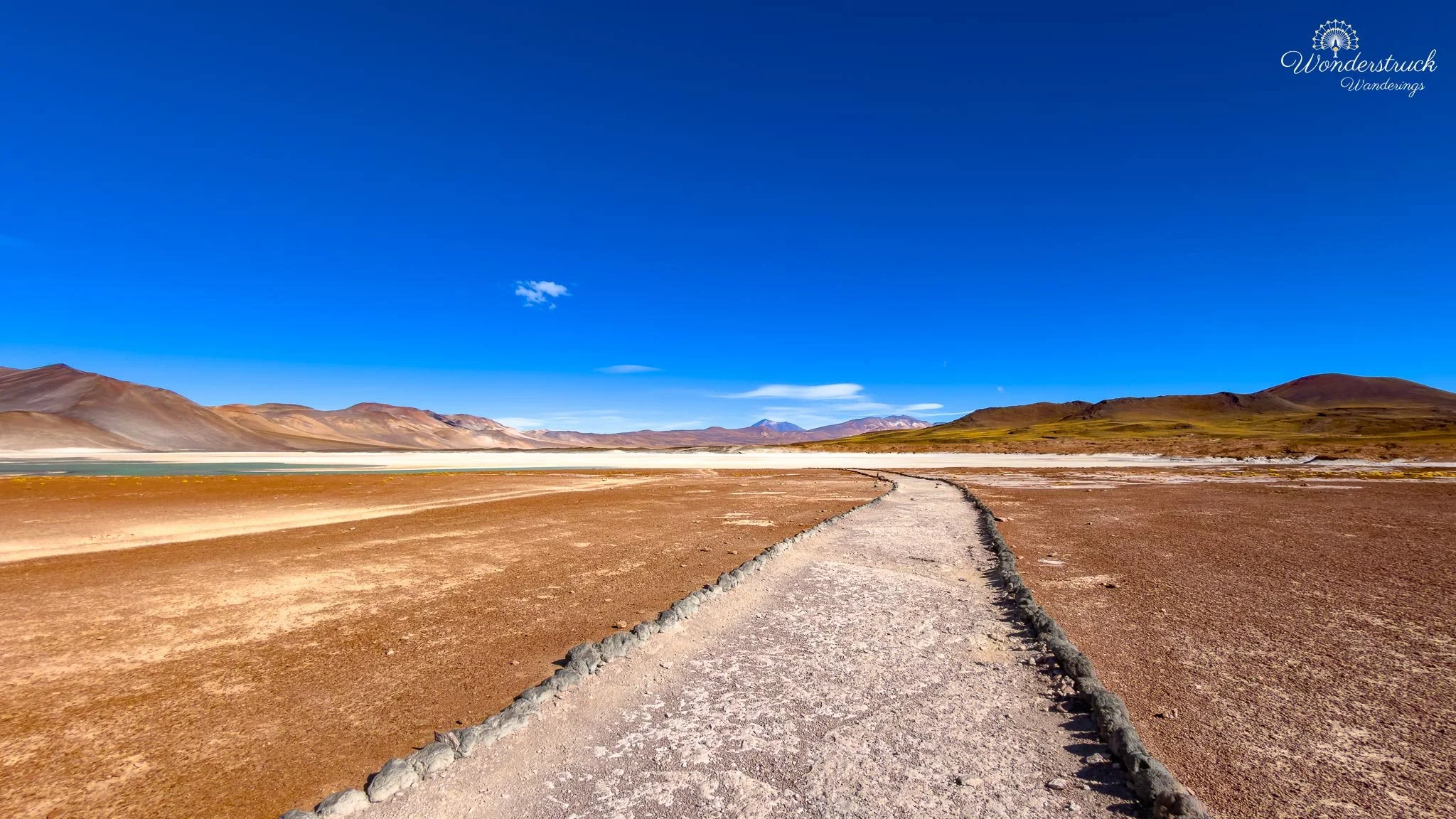
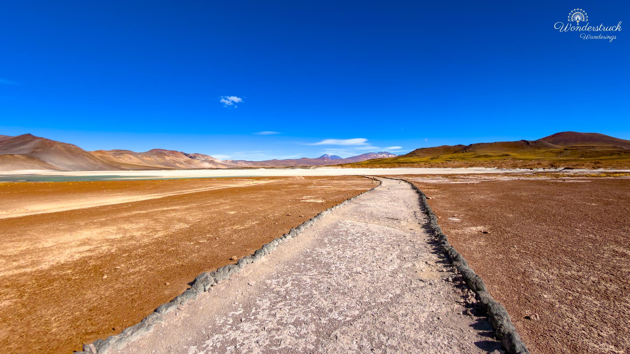
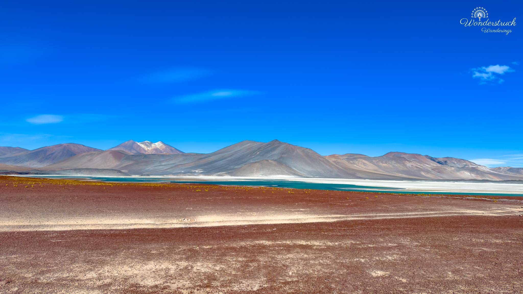
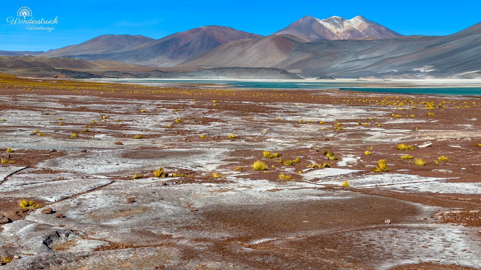
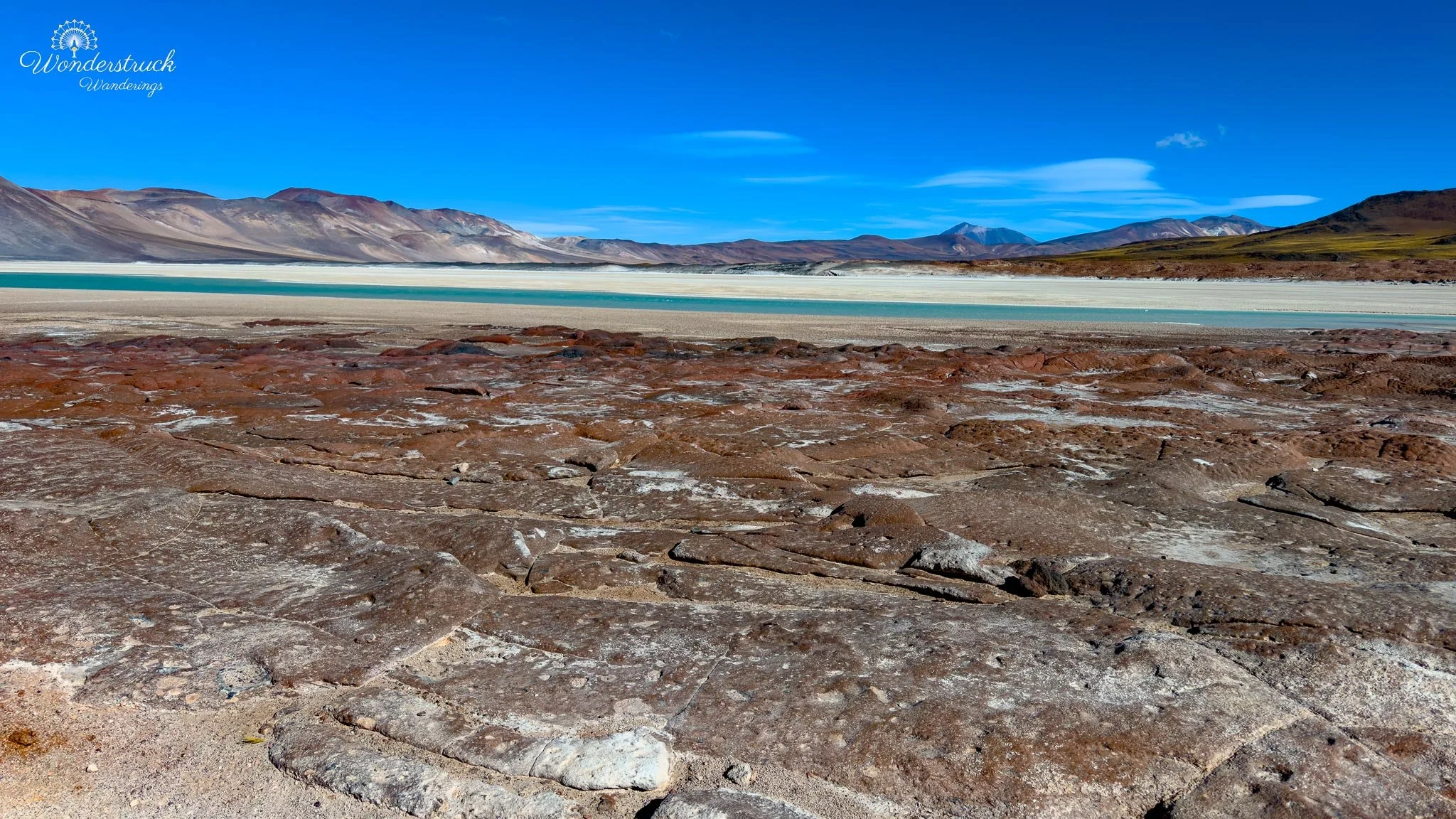
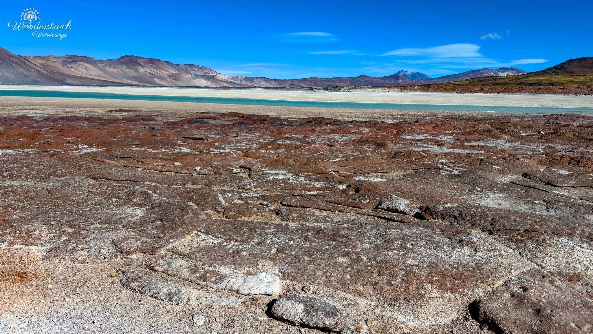
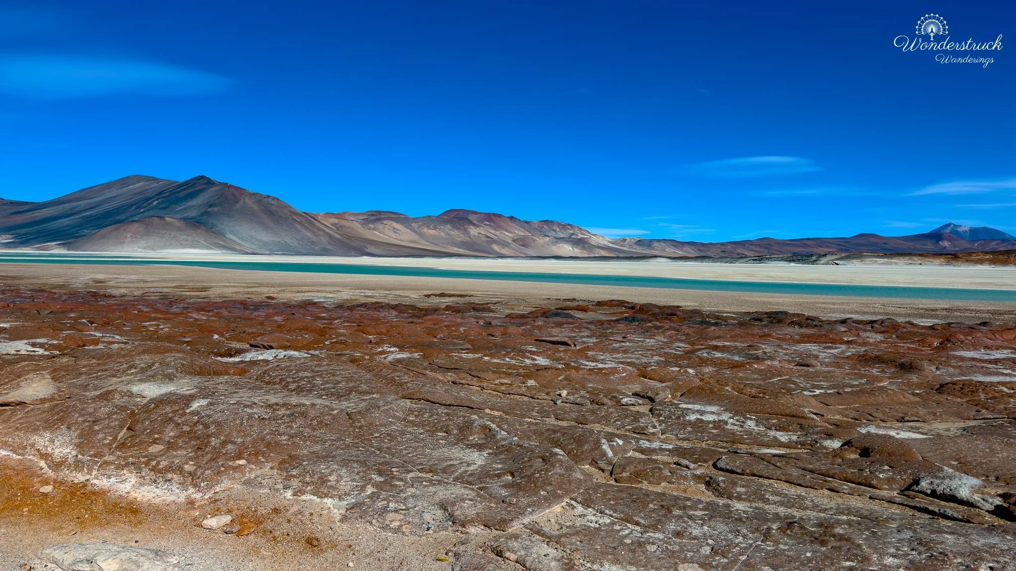
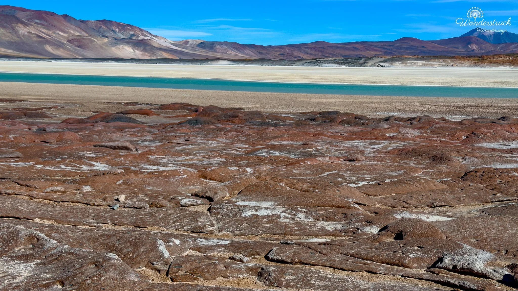
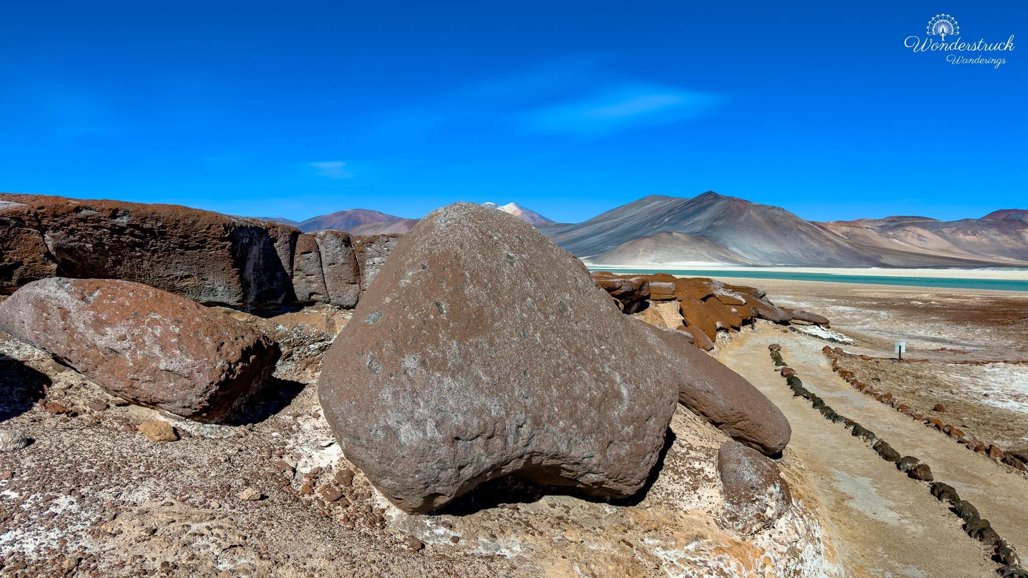
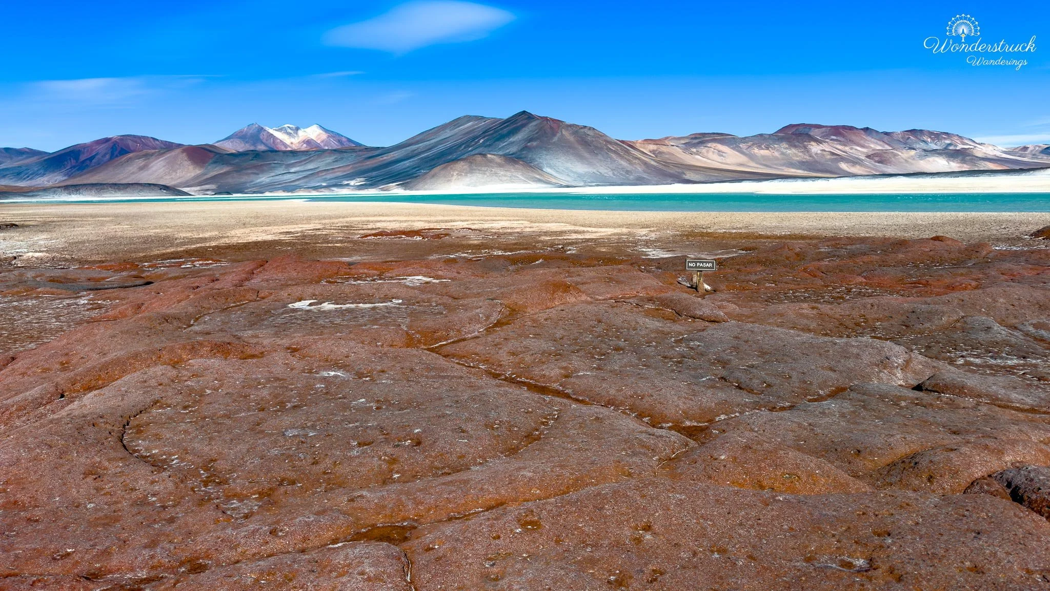
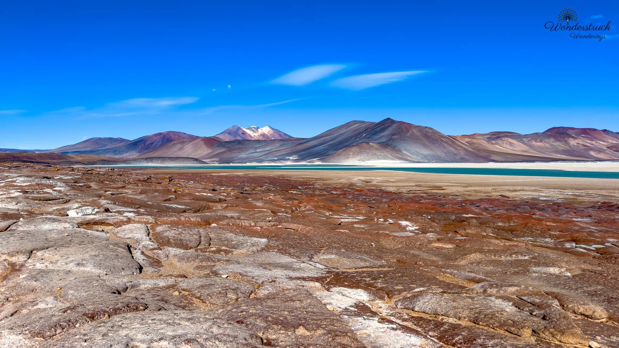
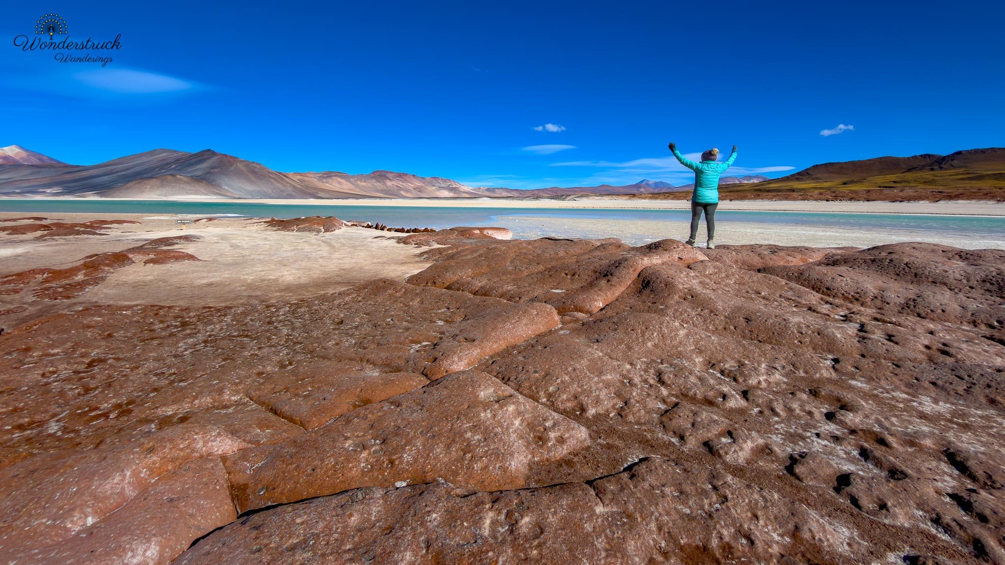
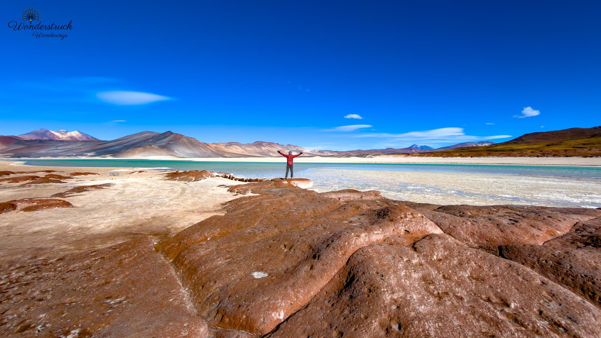
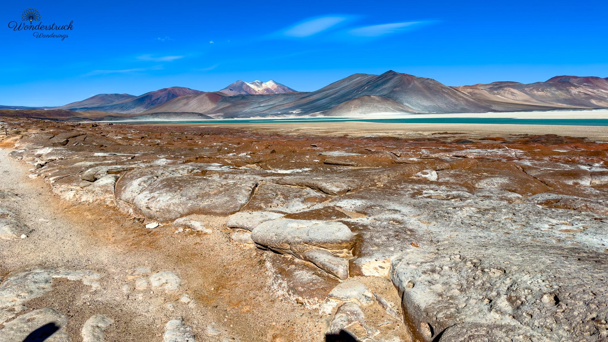
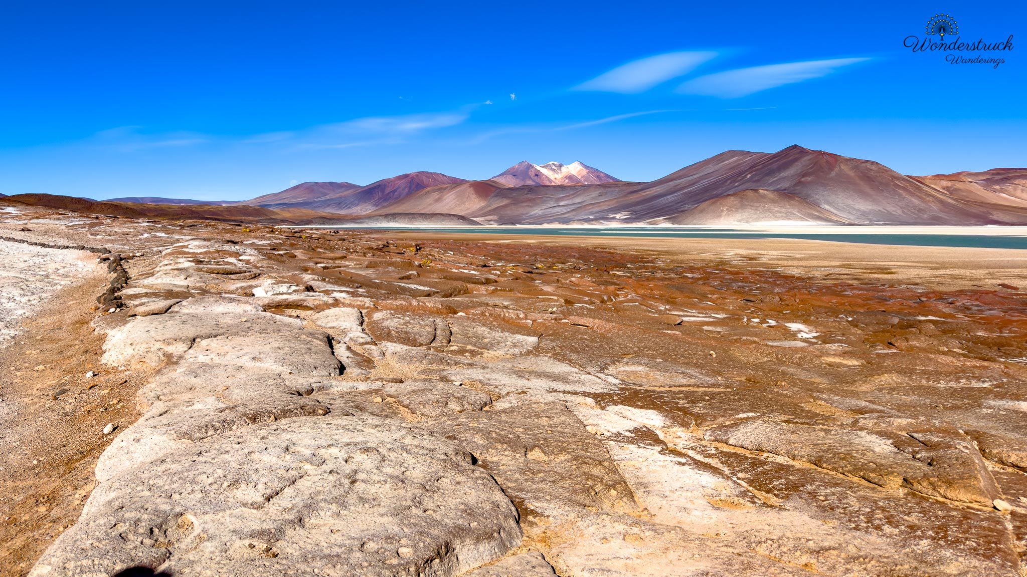
The trail to Piedras Rojas was not technically difficult, but the altitude, wind, cold, and open exposure made it feel more demanding than the distance suggested. At this elevation, even a simple walk asks for a slower pace. The air is thinner, the sun is stronger, and the wind makes everything feel sharper. We were not climbing anything major, but we still felt the high-Andean setting in every step. The landscape was worth the effort immediately. Piedras Rojas gets its name from the rust-red rocks that sit along the edge of Salar de Aguas Calientes Sur. The color comes from iron-rich volcanic rock that has been exposed, weathered, and oxidized over time, giving the stones that deep red and burnt-orange tone. Against the blue-green water and pale salt crust, the effect is striking. The contrast almost looks unreal: red rock underfoot, turquoise water beyond it, white mineral edges around the lagoon, yellow puna grasses in patches, and dark volcanic slopes framing the basin.
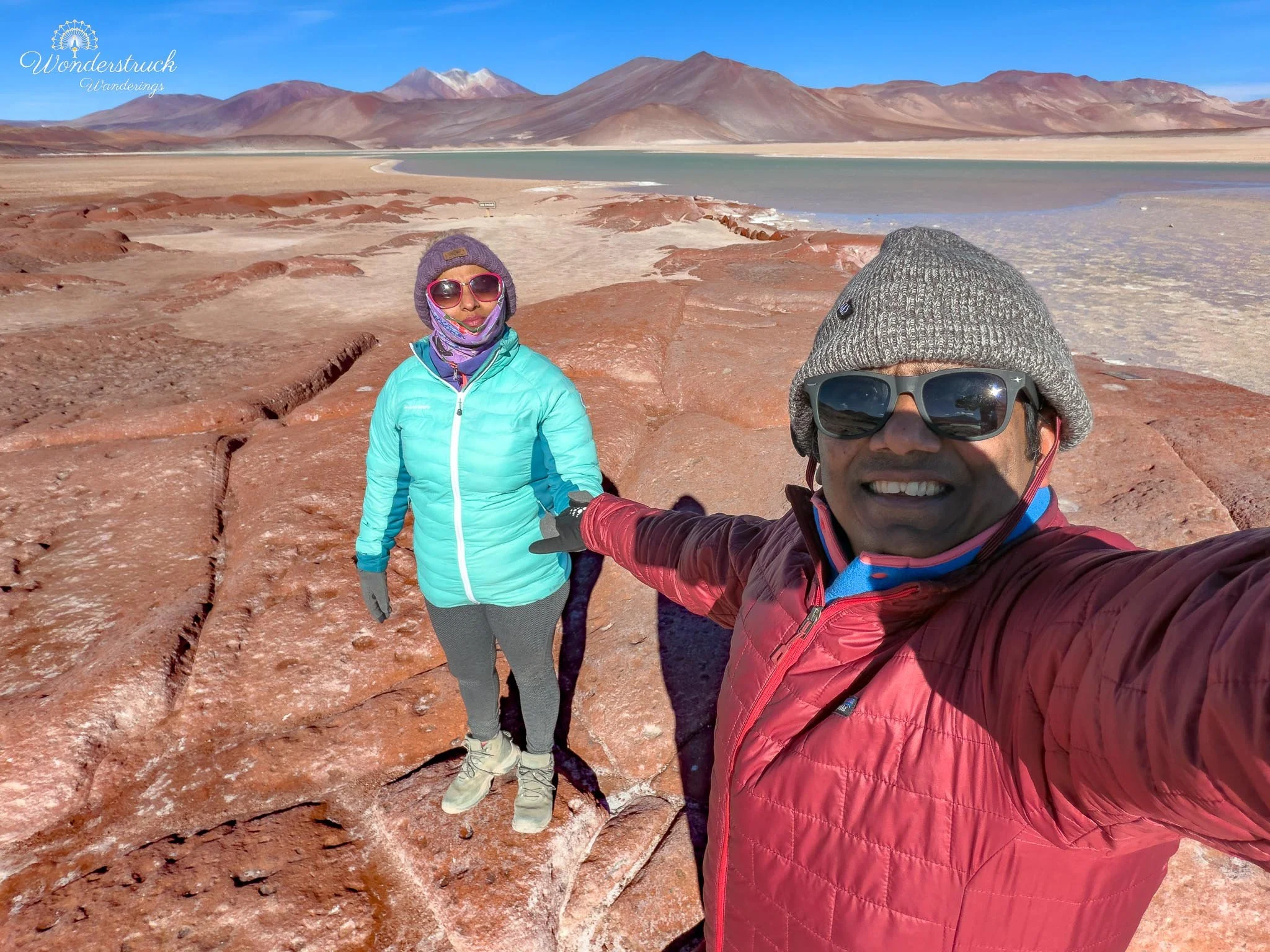
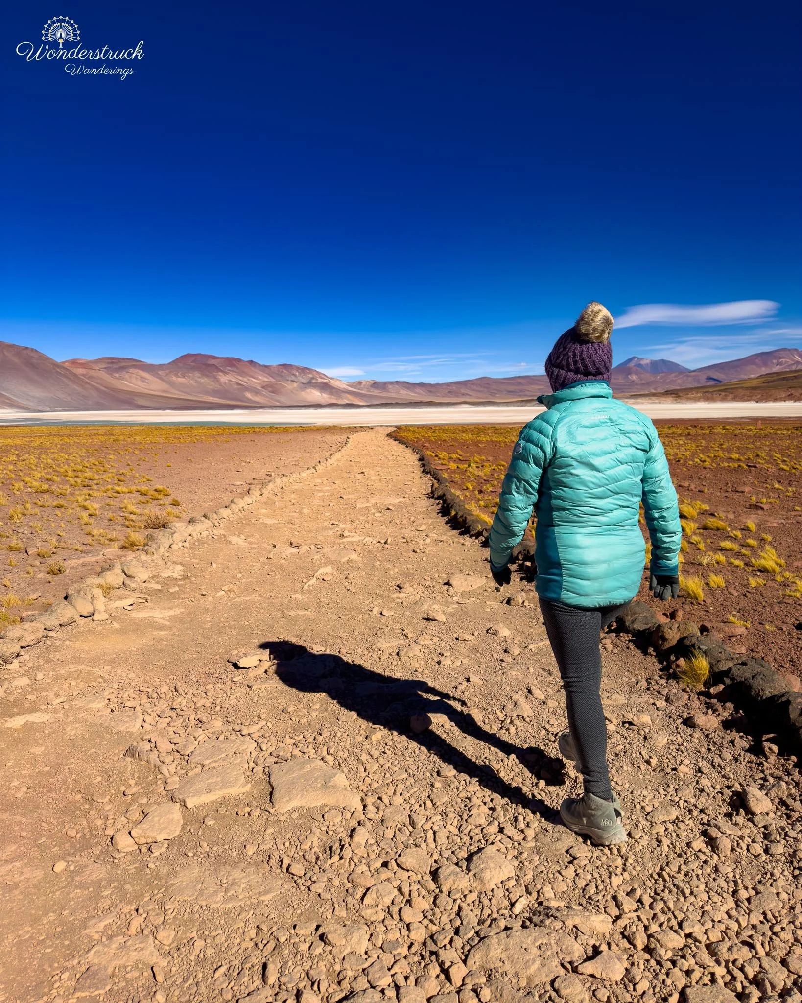
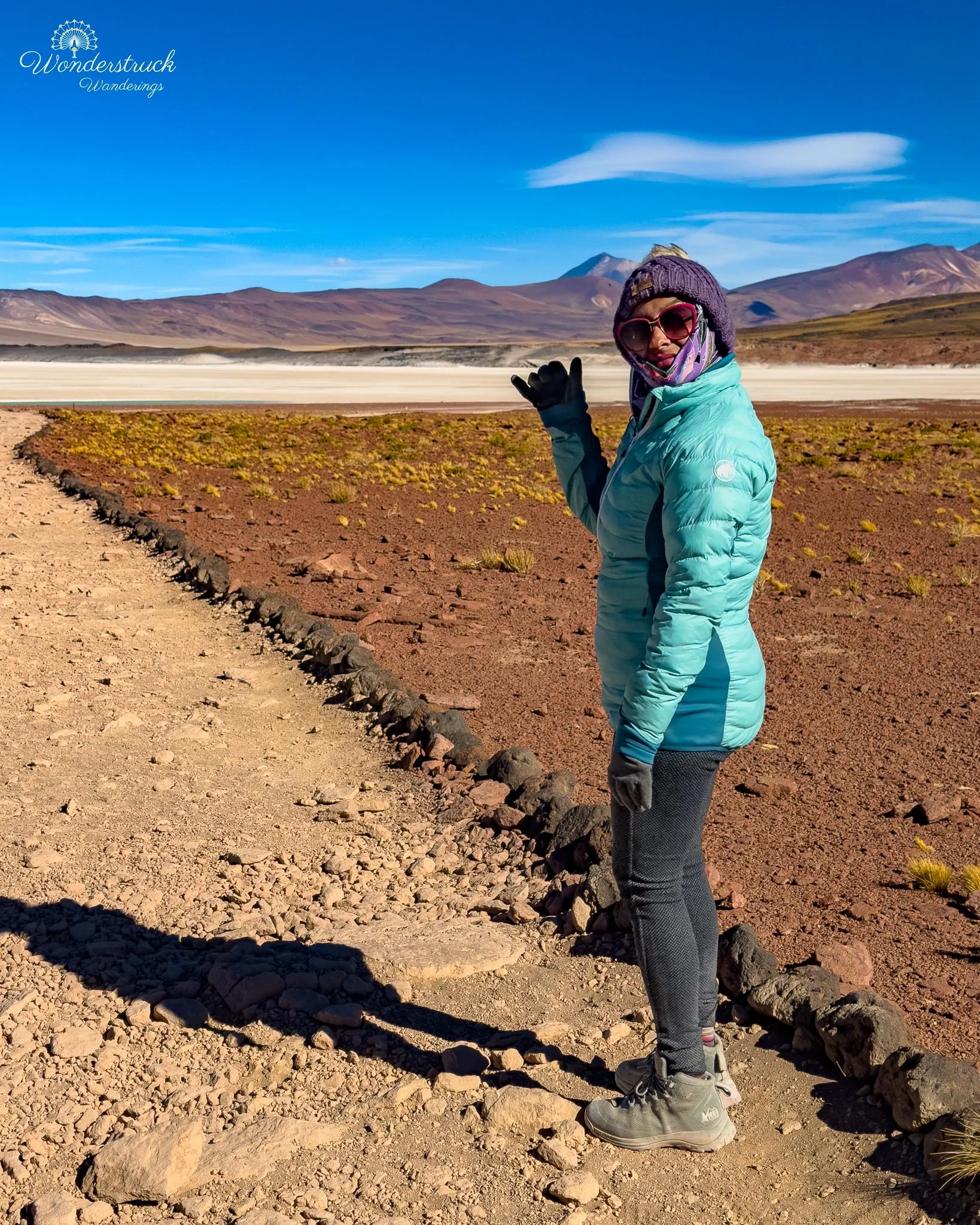
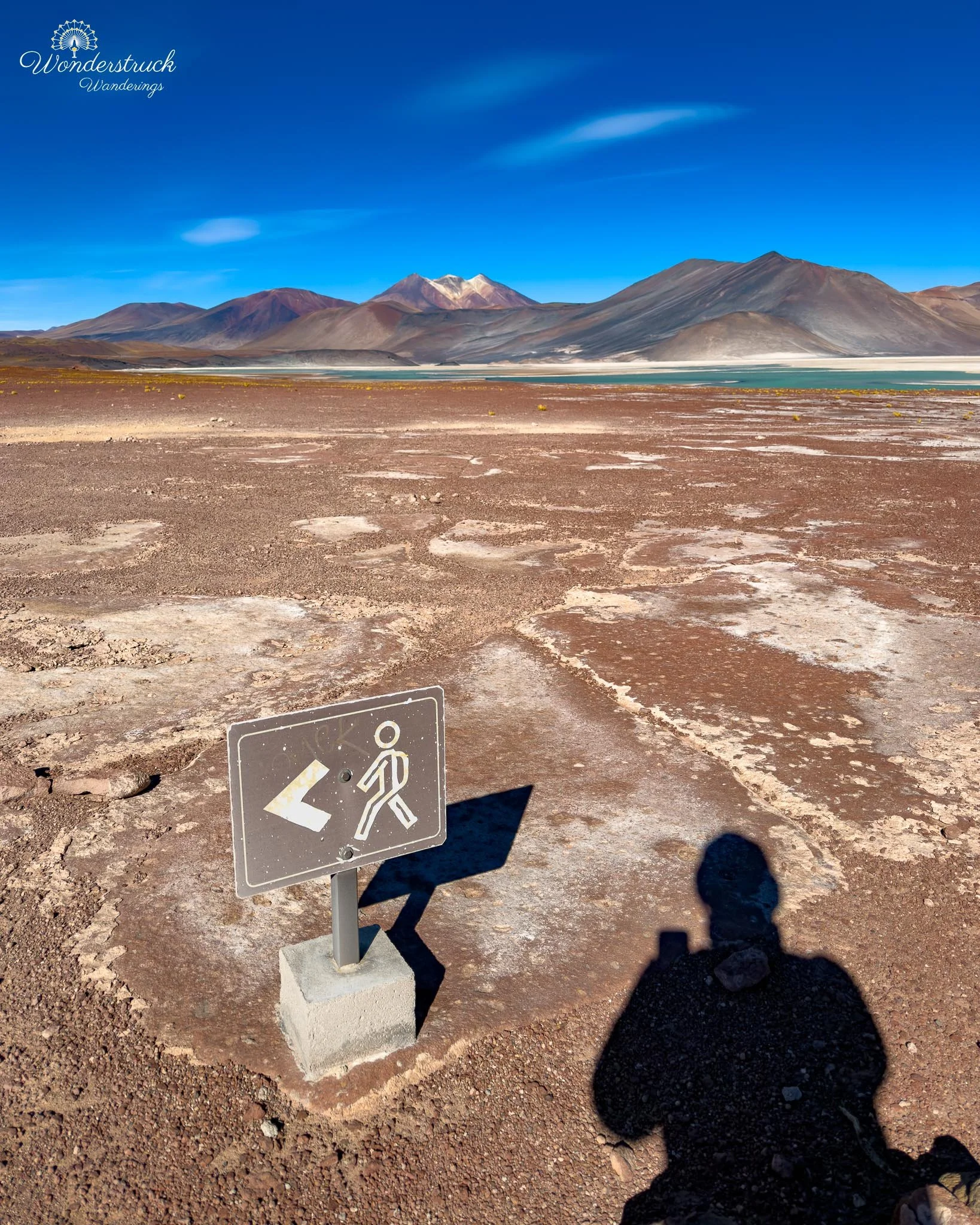
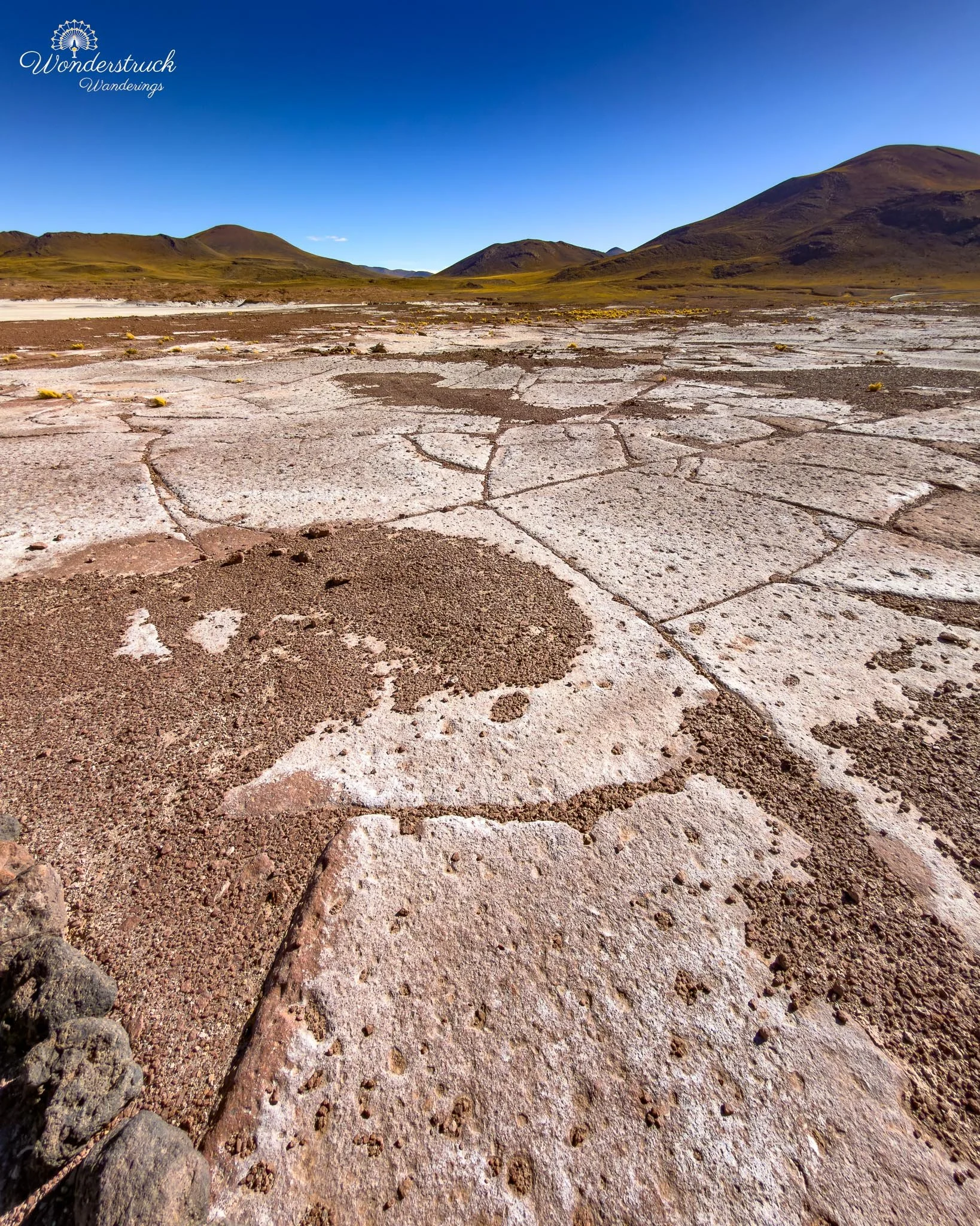
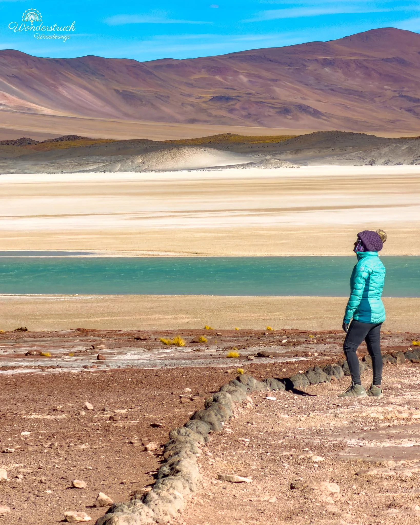
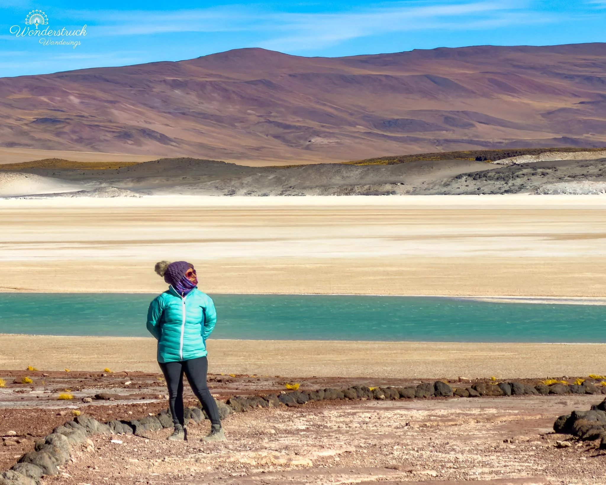
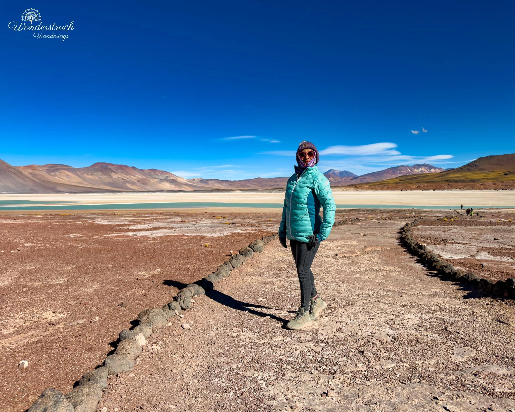
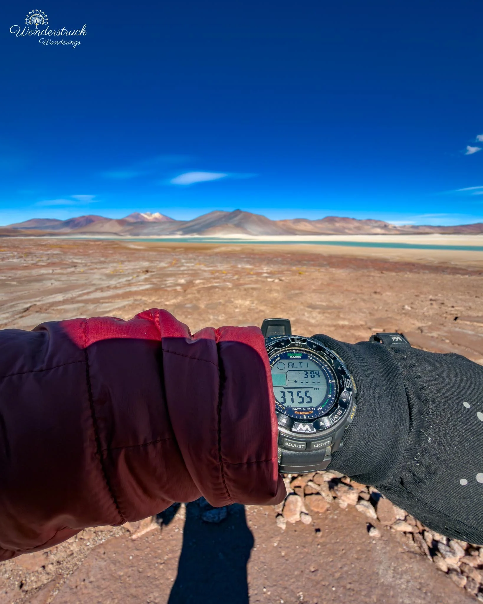
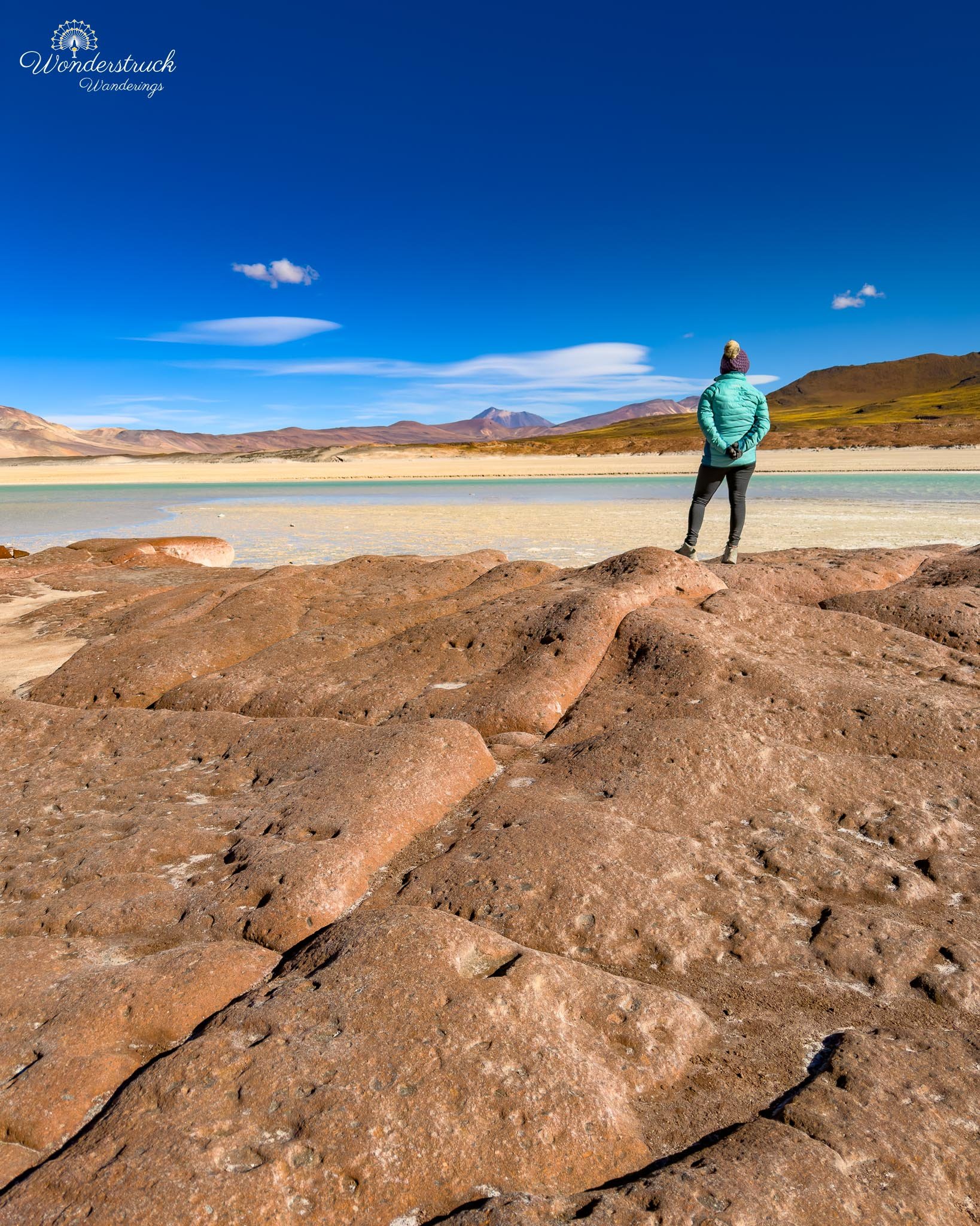
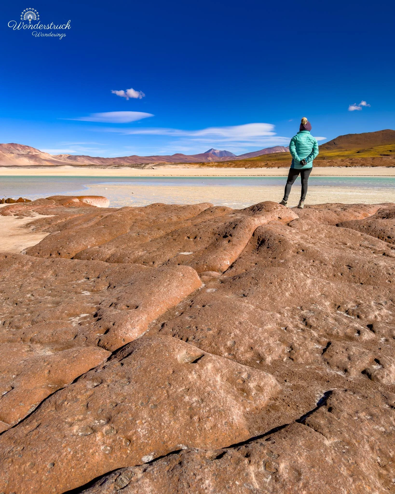
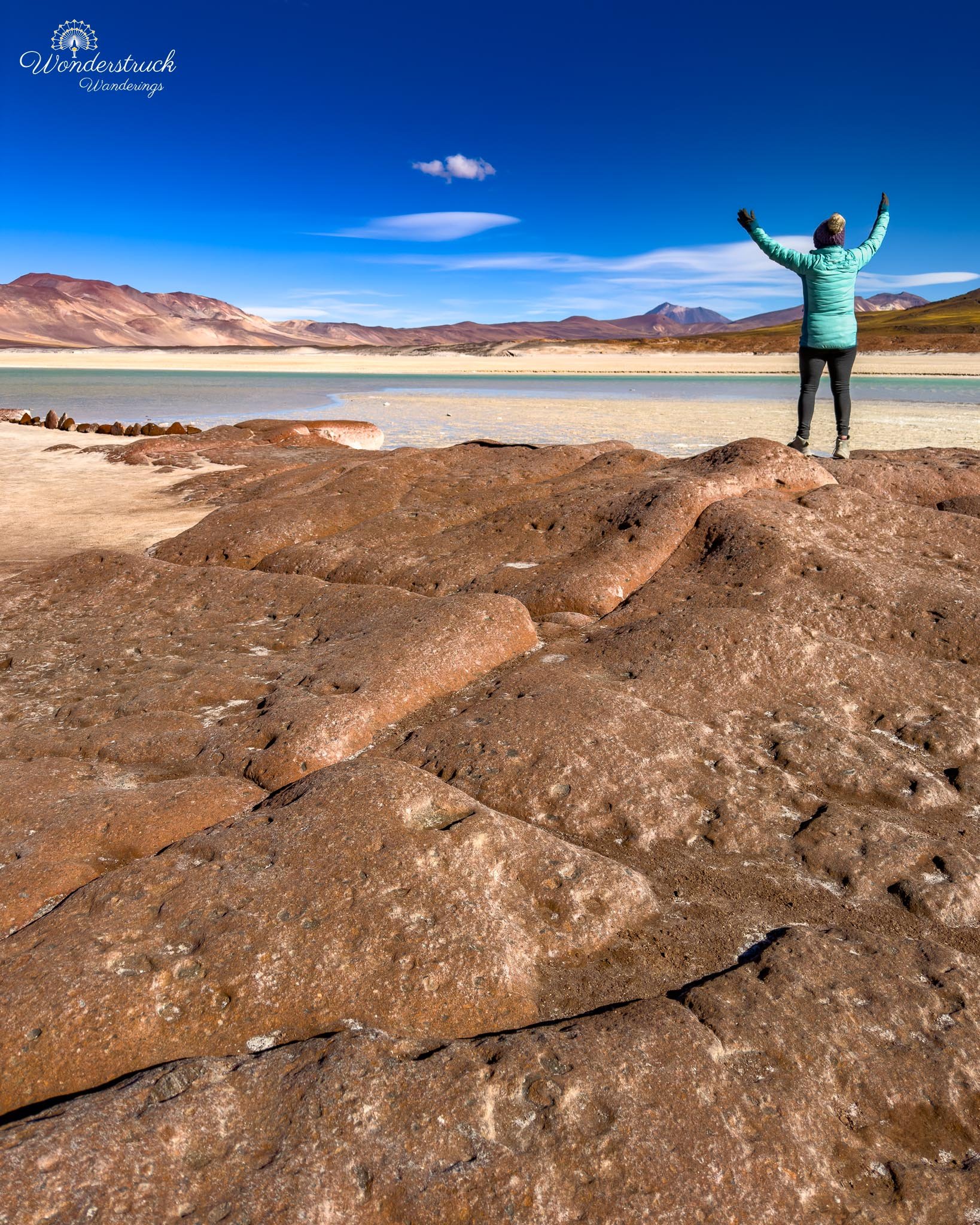
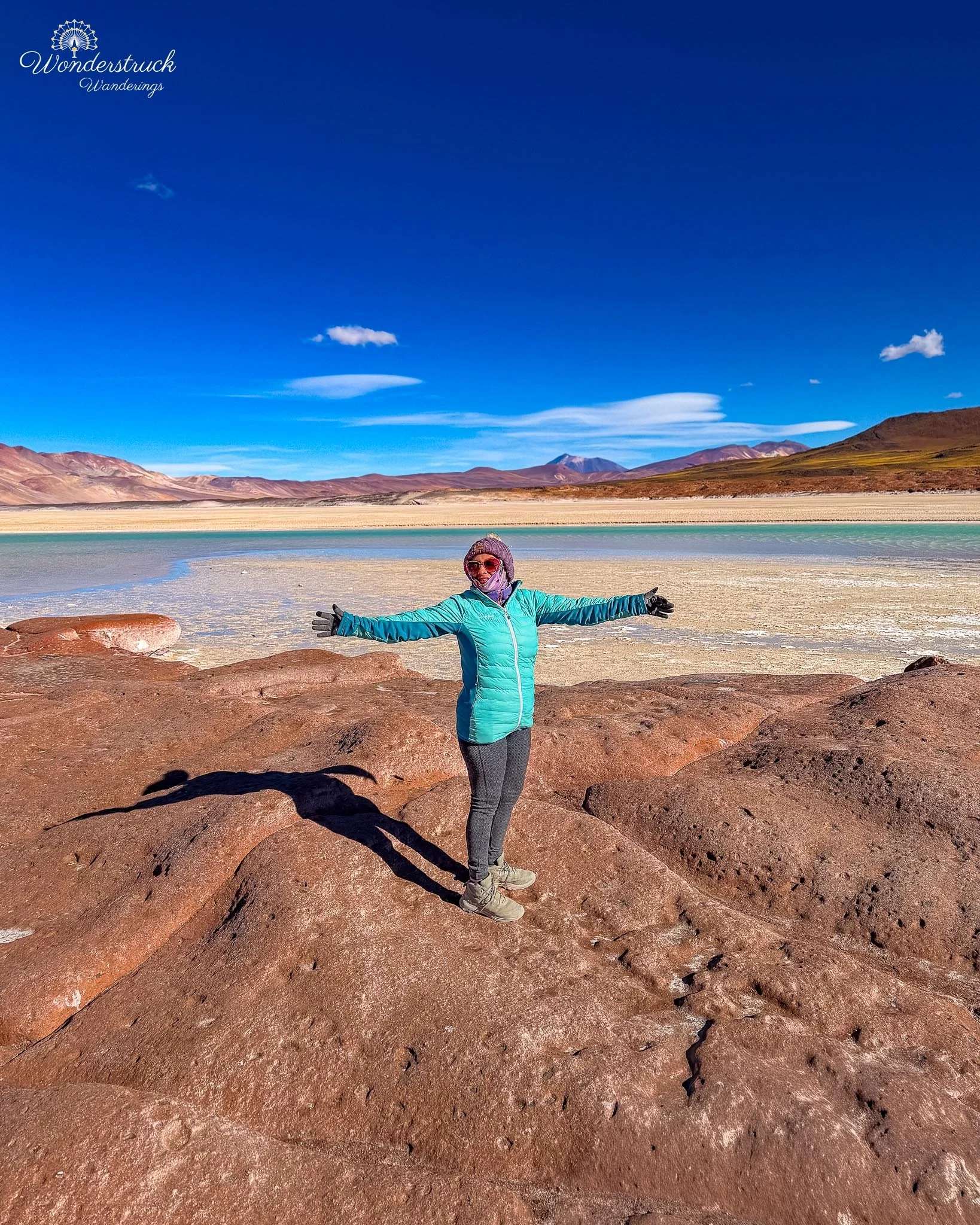
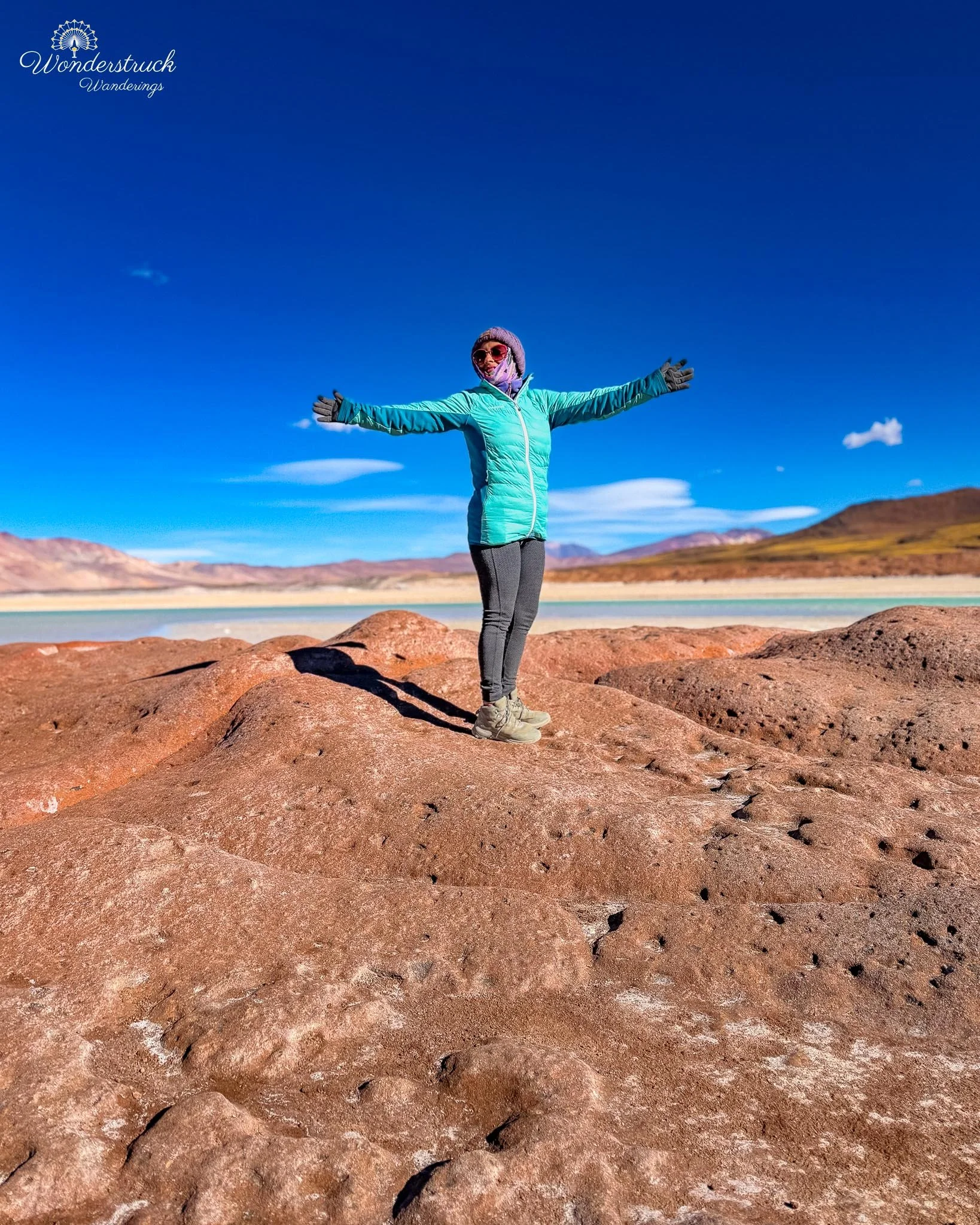
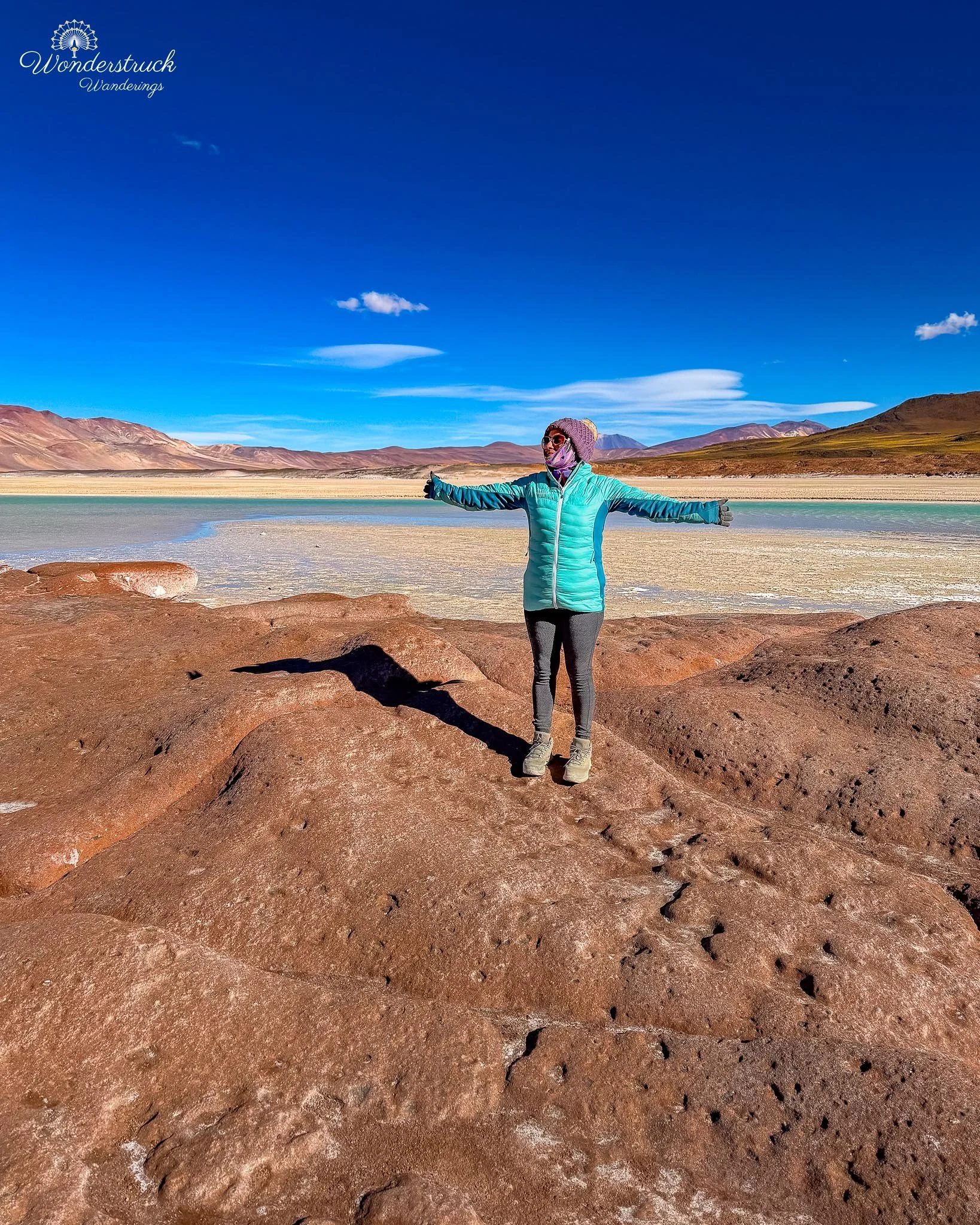
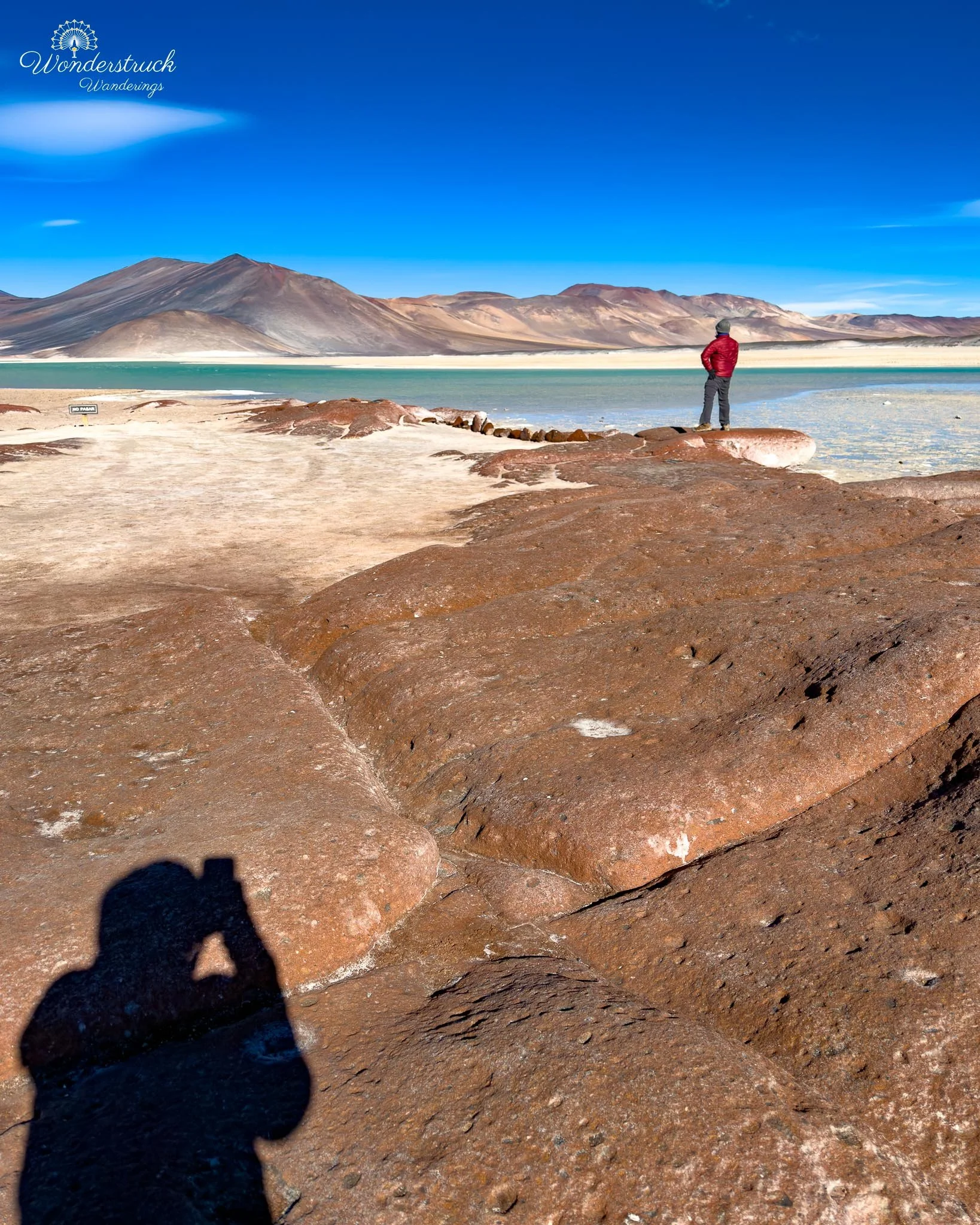
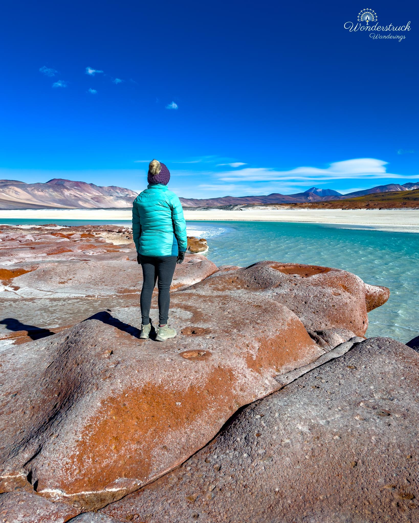
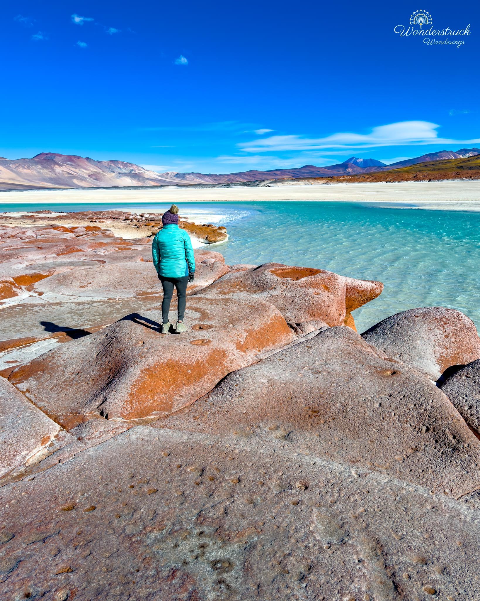
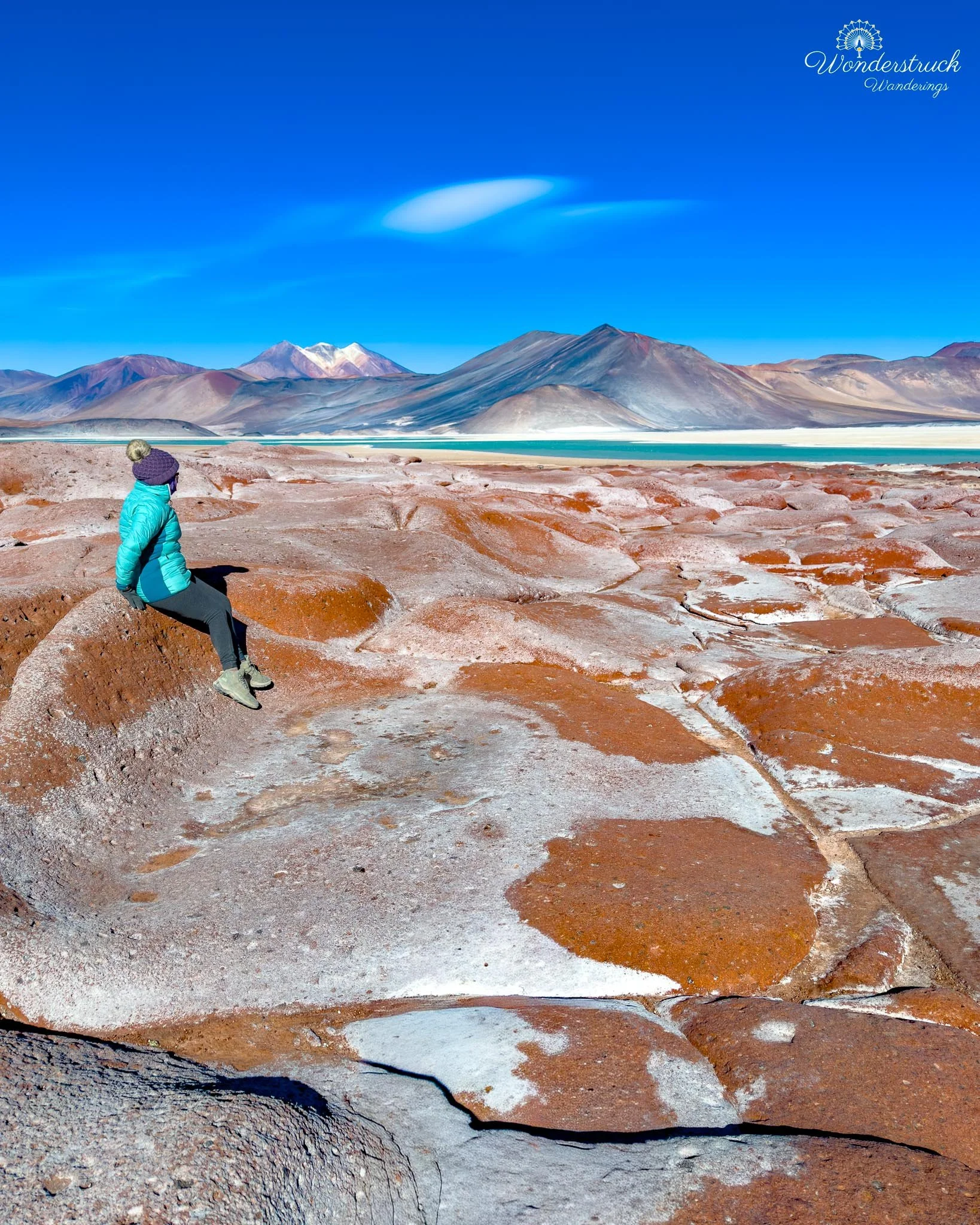
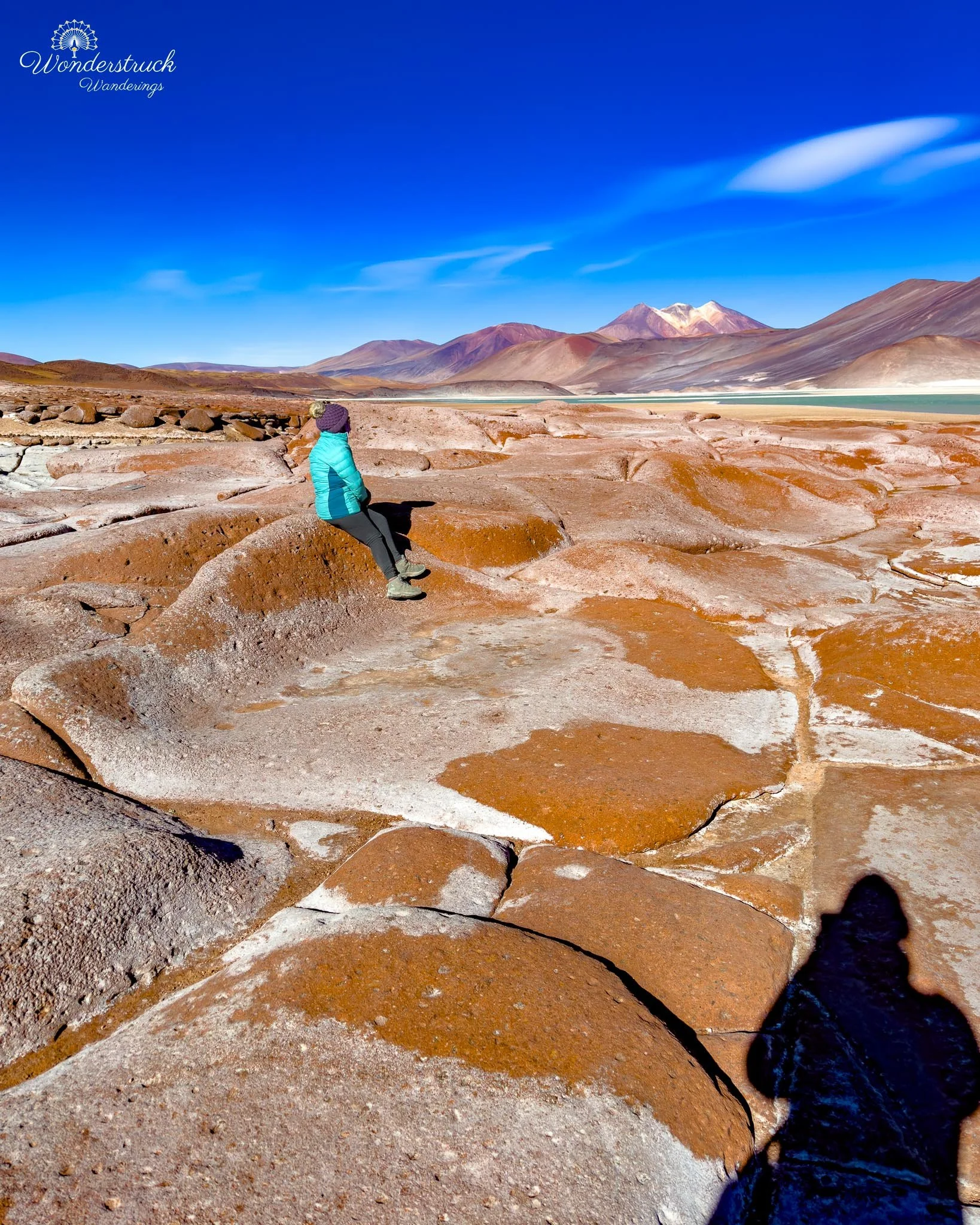
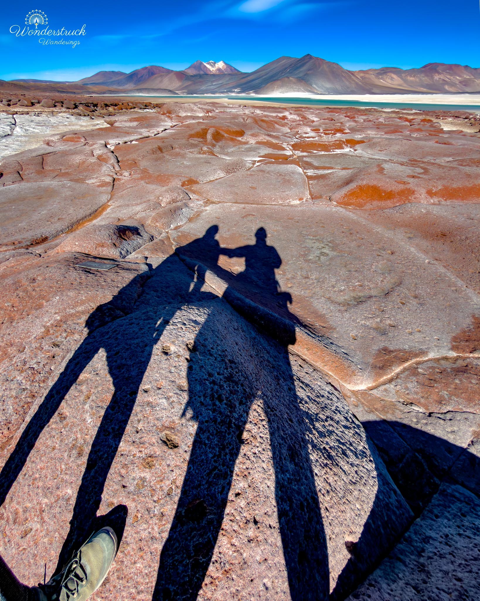
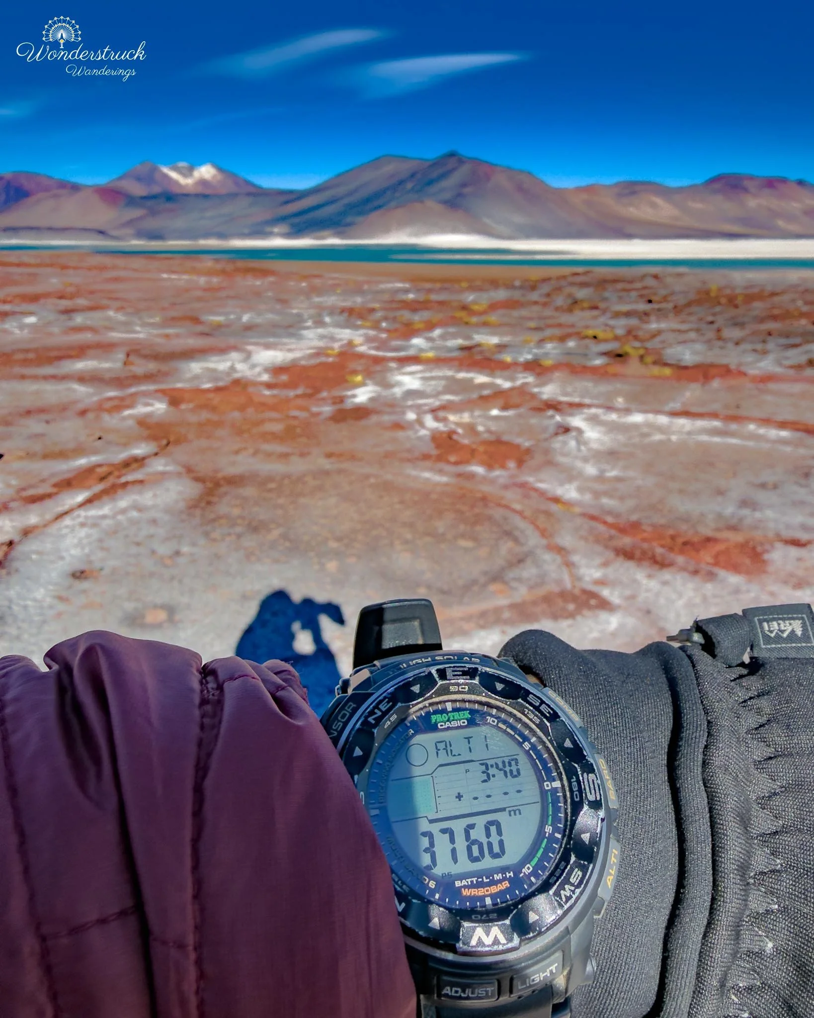
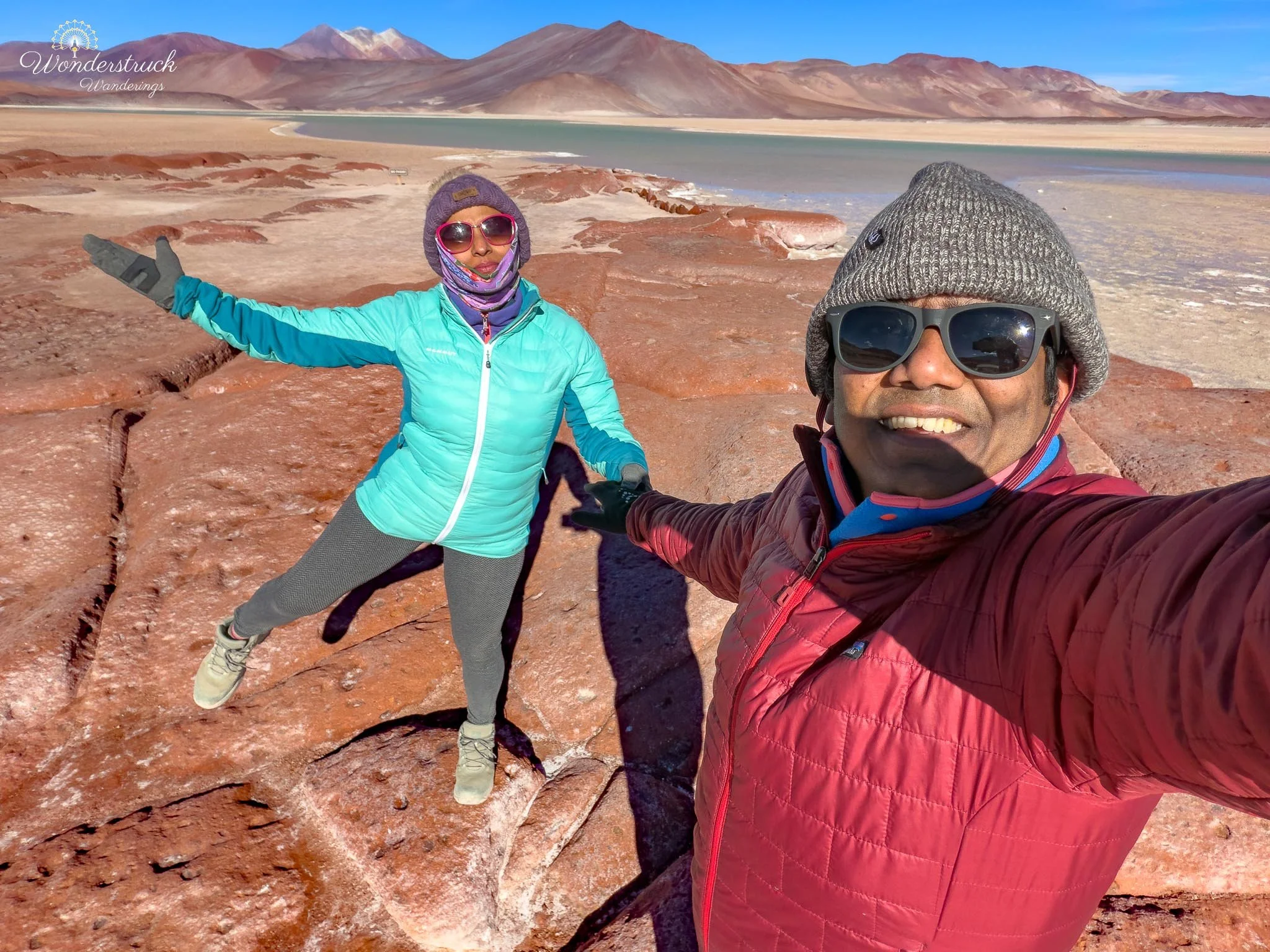
We followed the marked trail slowly, stopping often because every few steps changed the composition. From one angle, the red rocks dominated the foreground and made the lagoon feel distant. From another, the water and salt flat became the main scene, with the rocks acting like a rough red border. The texture was just as interesting as the color. The rocks were rough, fractured, and wind-worn, with broken surfaces that showed how exposed this basin is to sun, minerals, freezing temperatures, and constant high-altitude weather. Piedras Rojas is not just a single viewpoint. It feels like a whole color system: red volcanic stone, pale salar, blue-green lagoon, yellow grass, and mountains behind it all. That is what makes it such a strong wide-angle photography stop. You can use the rocks as foreground, the lagoon as the middle layer, and the volcanoes and hills as the background. The scene also changes depending on how much wind is moving across the water. When the surface is calmer, the color becomes softer and more reflective; when the wind picks up, the lagoon looks colder and more textured. What stood out most was how exposed the whole area felt. There is no shelter, no softness, and almost no visual clutter. Everything is reduced to rock, salt, water, wind, and sky. That simplicity is what makes the place dramatic. The red rocks are the obvious feature, but the real power of Piedras Rojas is the way all the elements sit together in one high-altitude basin.At the end of the trail, a ranger told us we needed to start returning by 4 p.m. This was different from the later closing times we had heard earlier, so there were clearly multiple versions of the schedule depending on where you looked or whom you asked. Since staying for sunset was no longer possible, we accepted the timing and started back. It was disappointing, but it also made the decision easy: instead of waiting around the high plateau, we would begin the long drive back toward San Pedro and try to catch sunset closer to town.
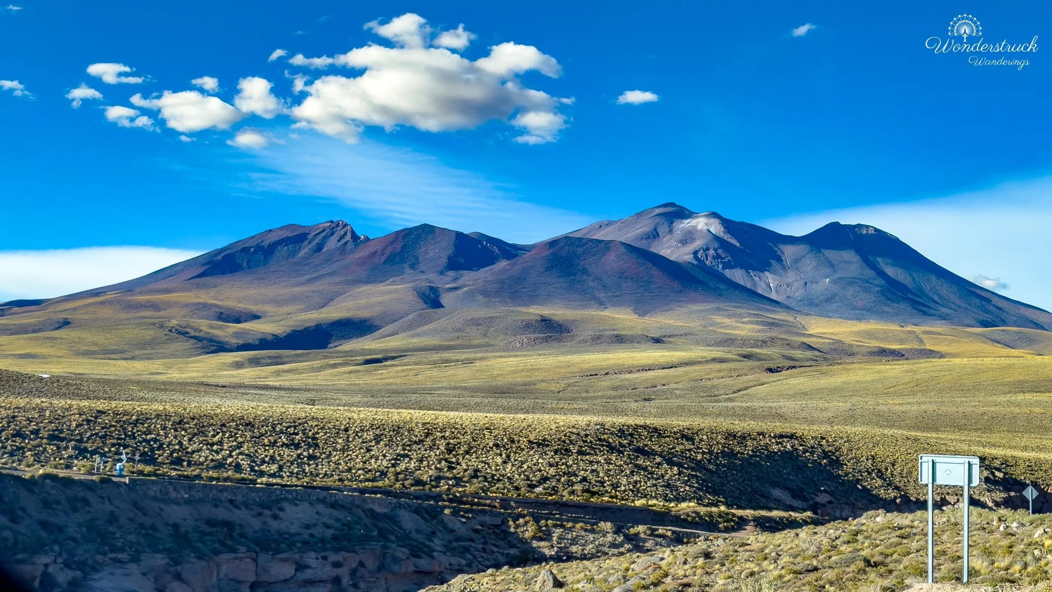
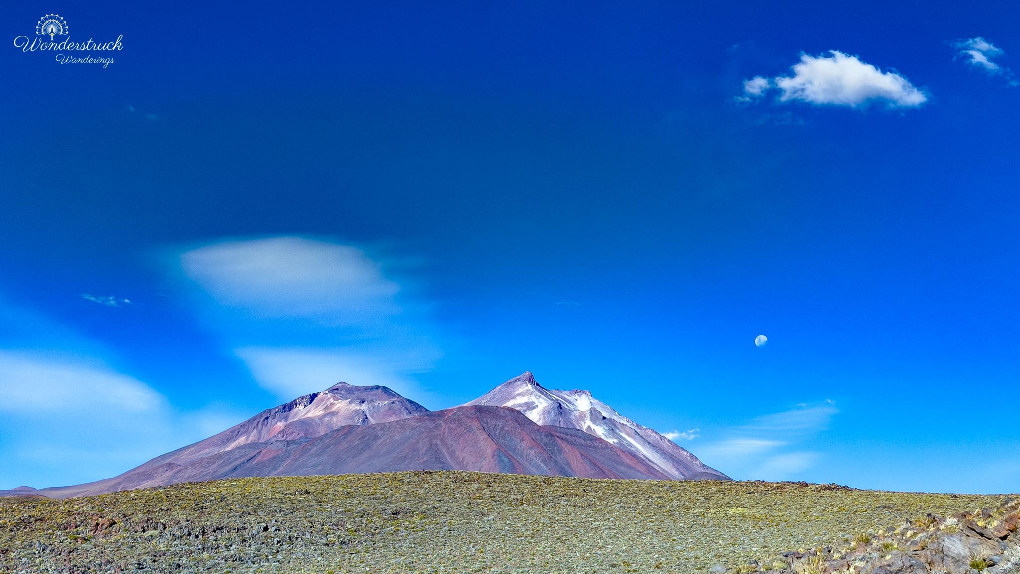
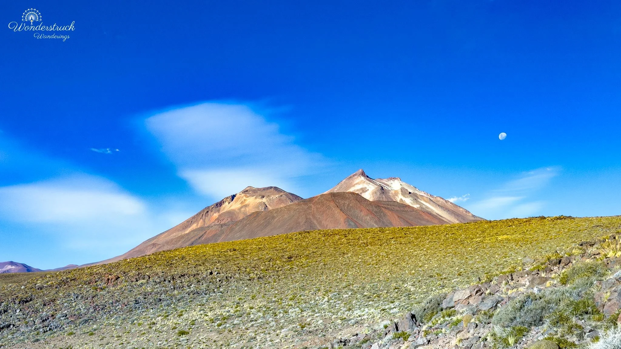
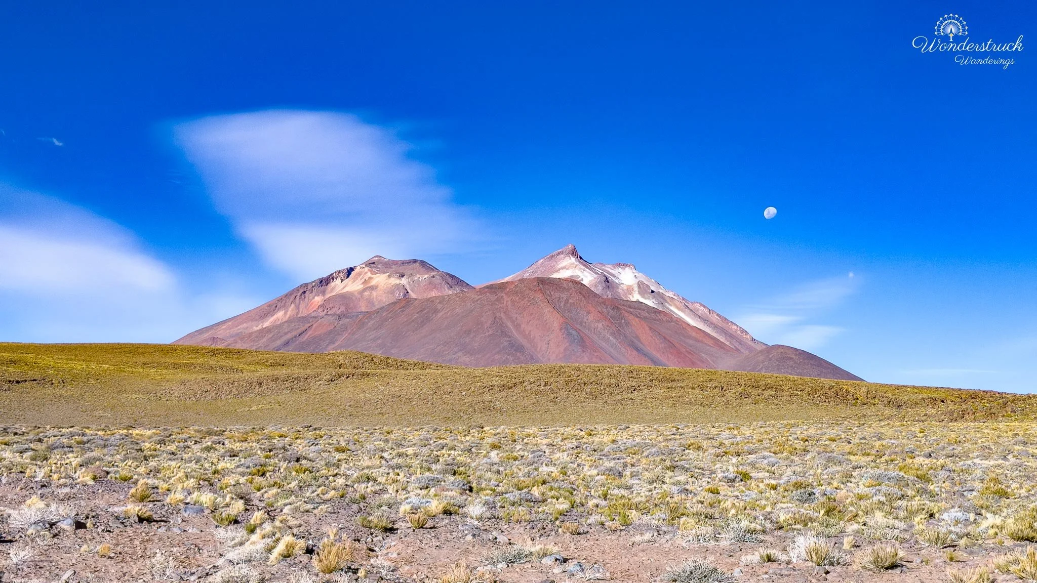
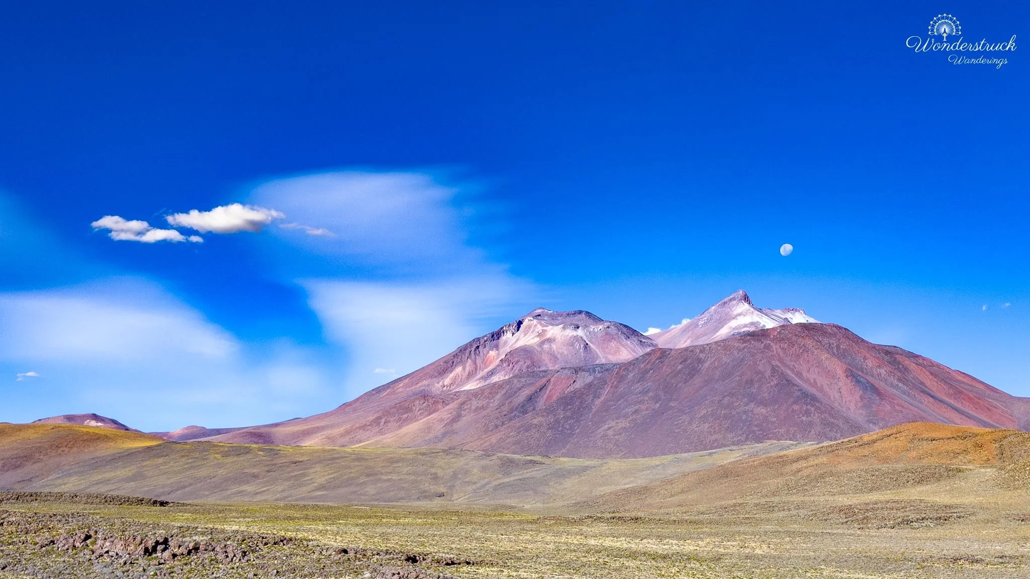
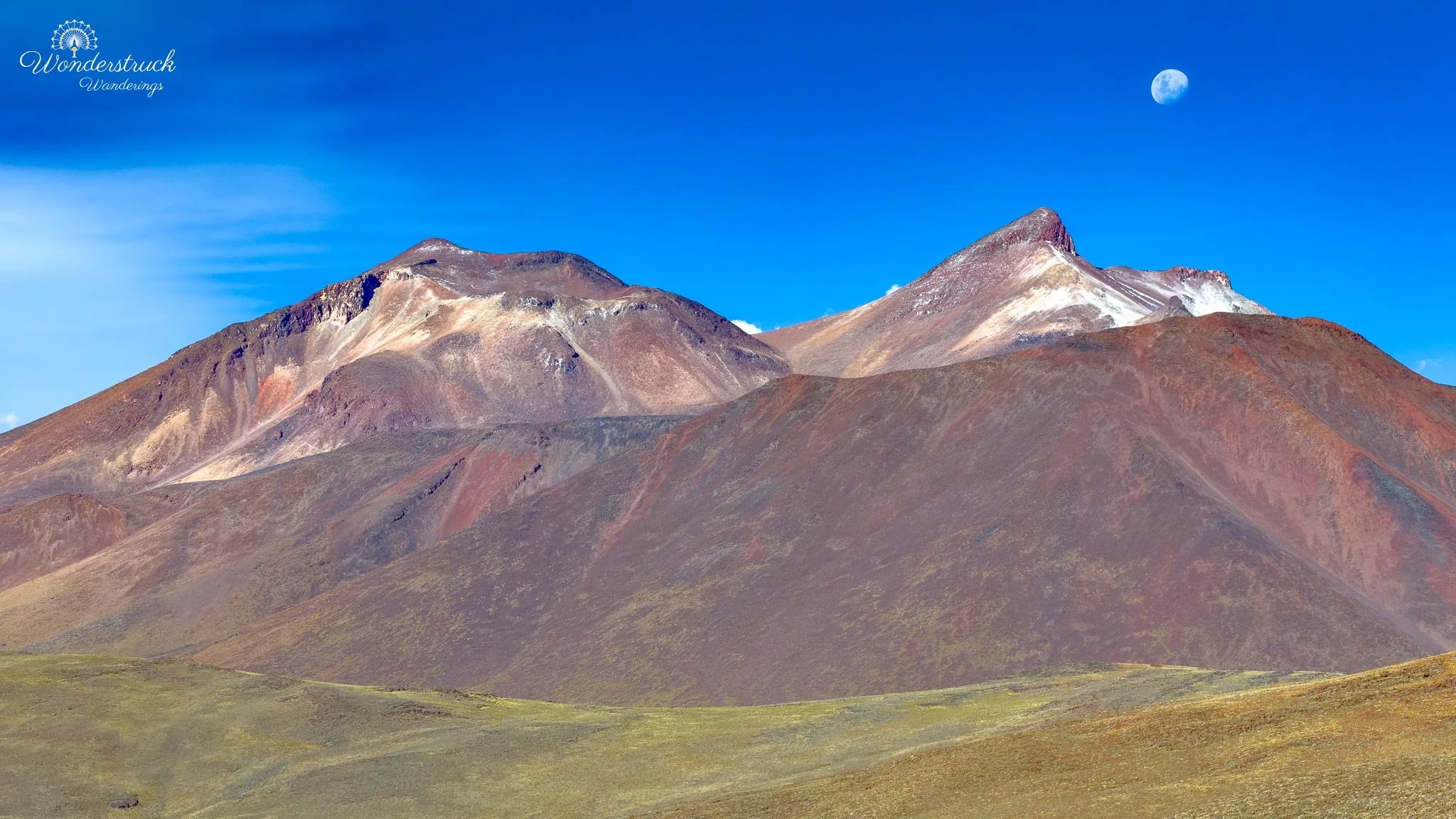
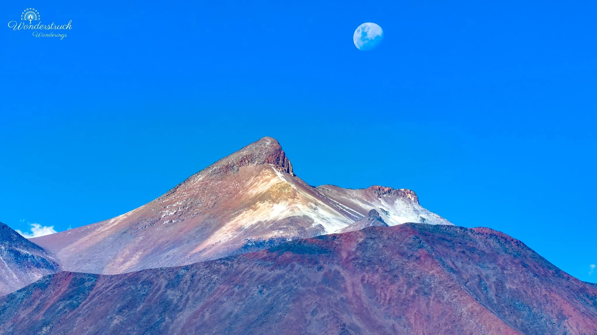
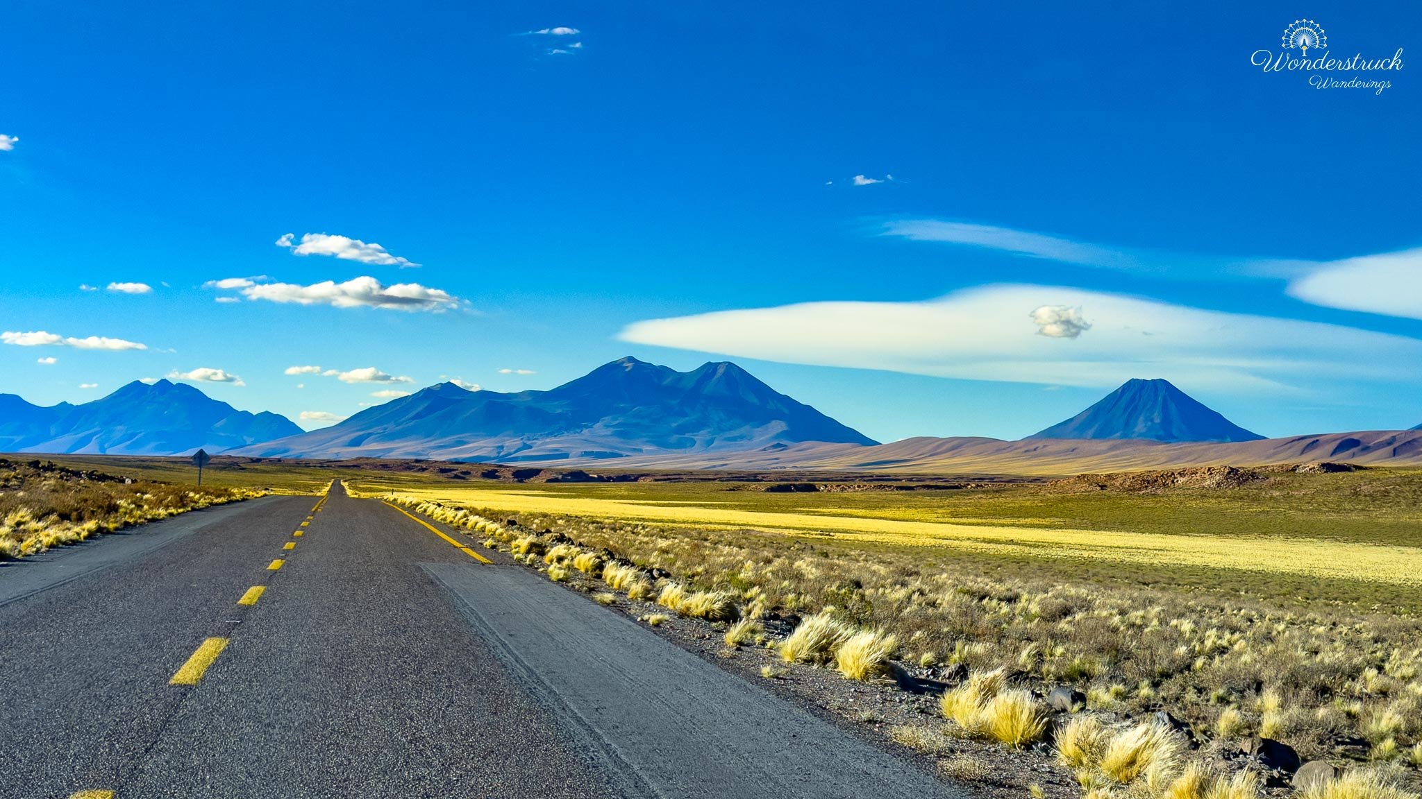
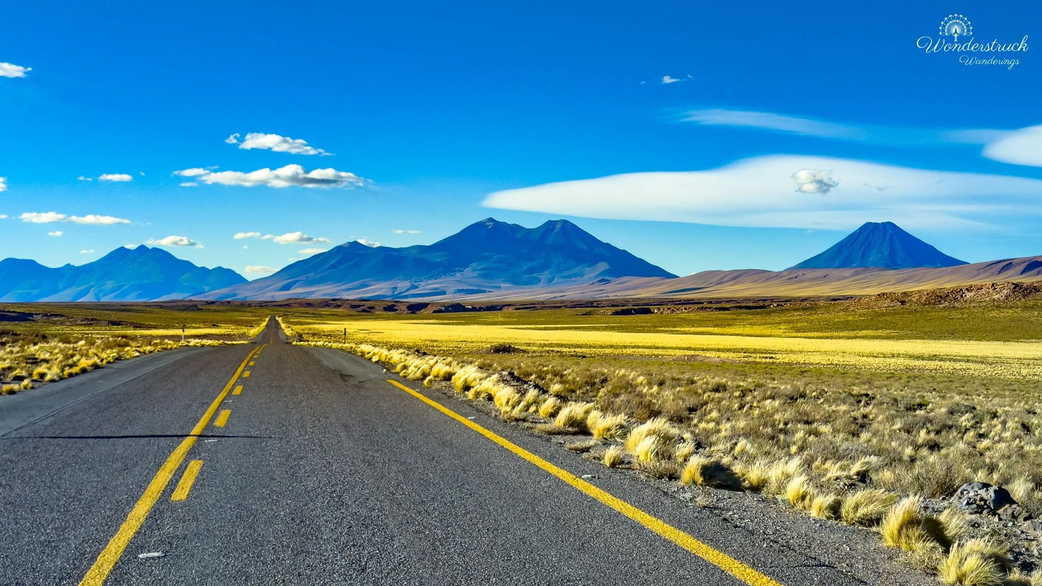
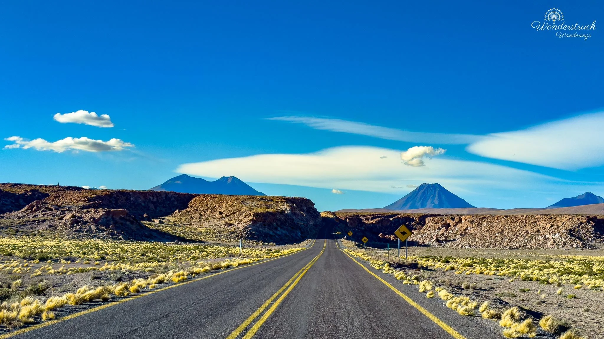
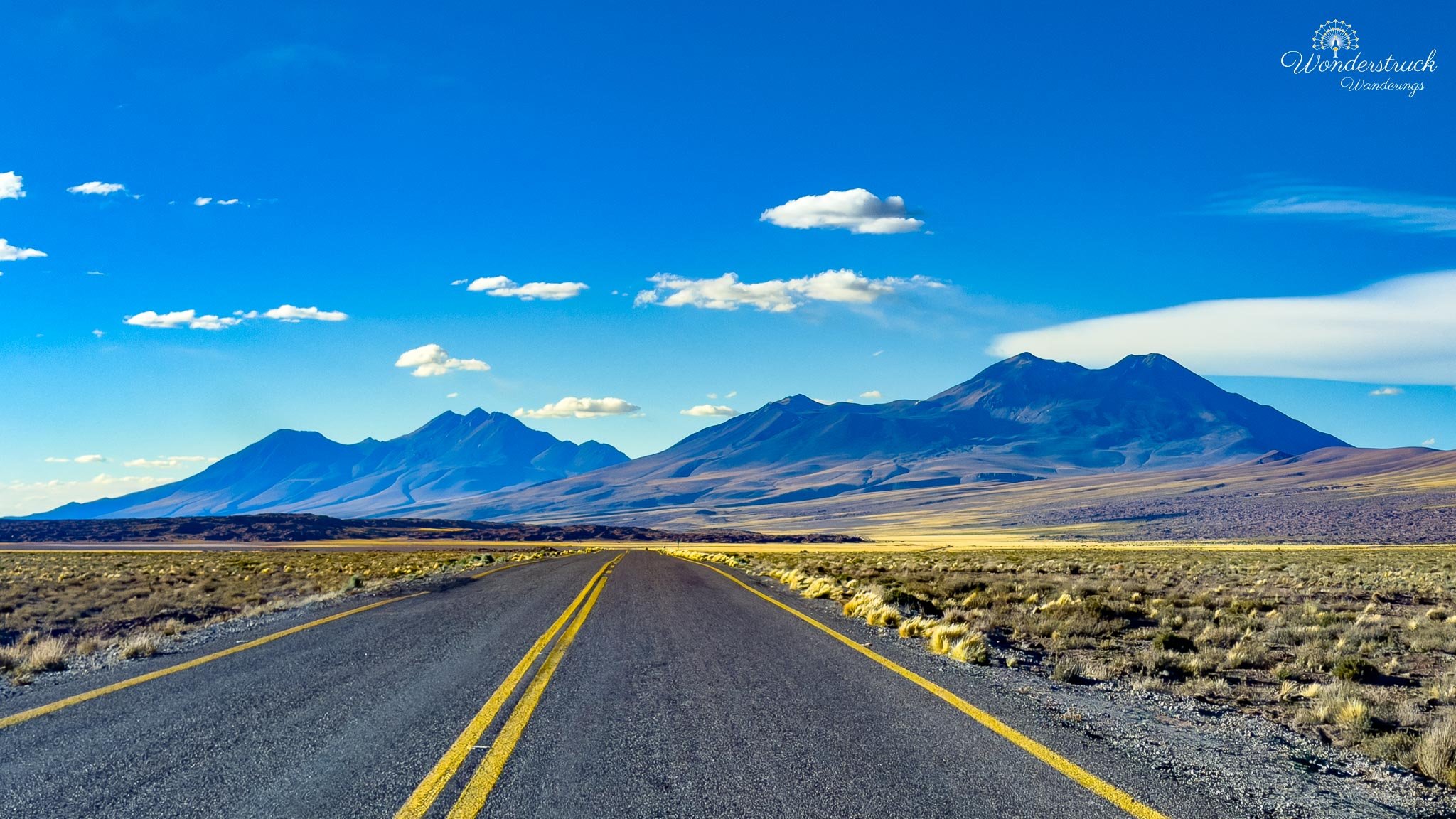
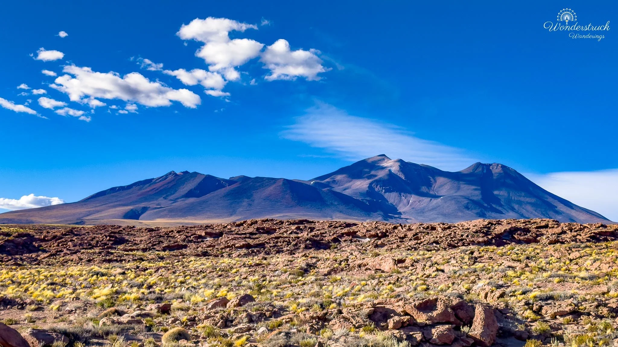
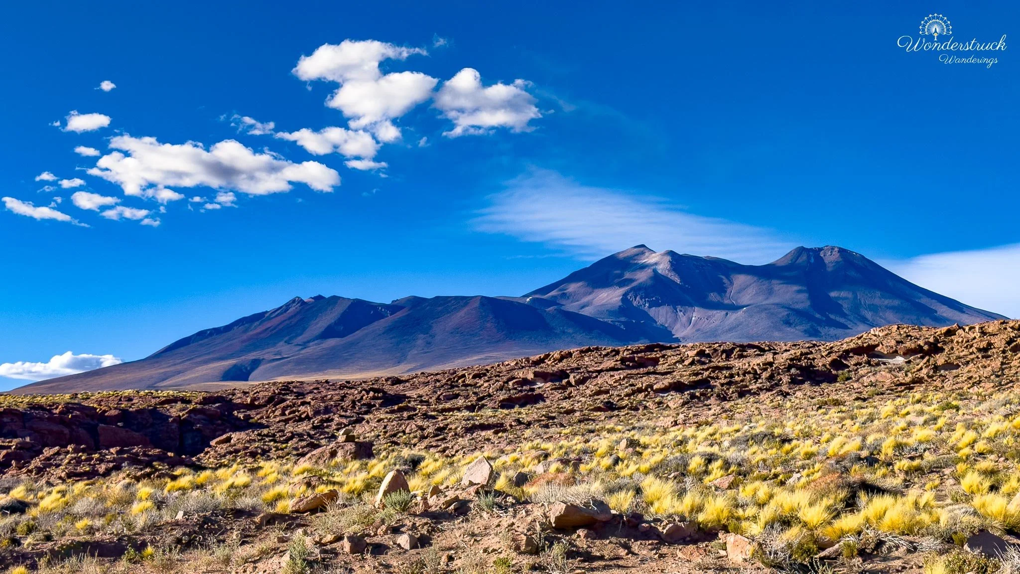
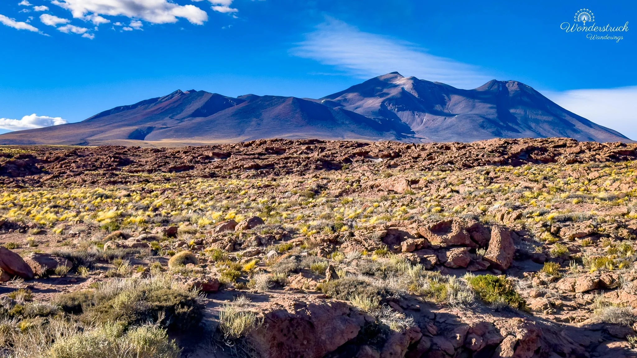
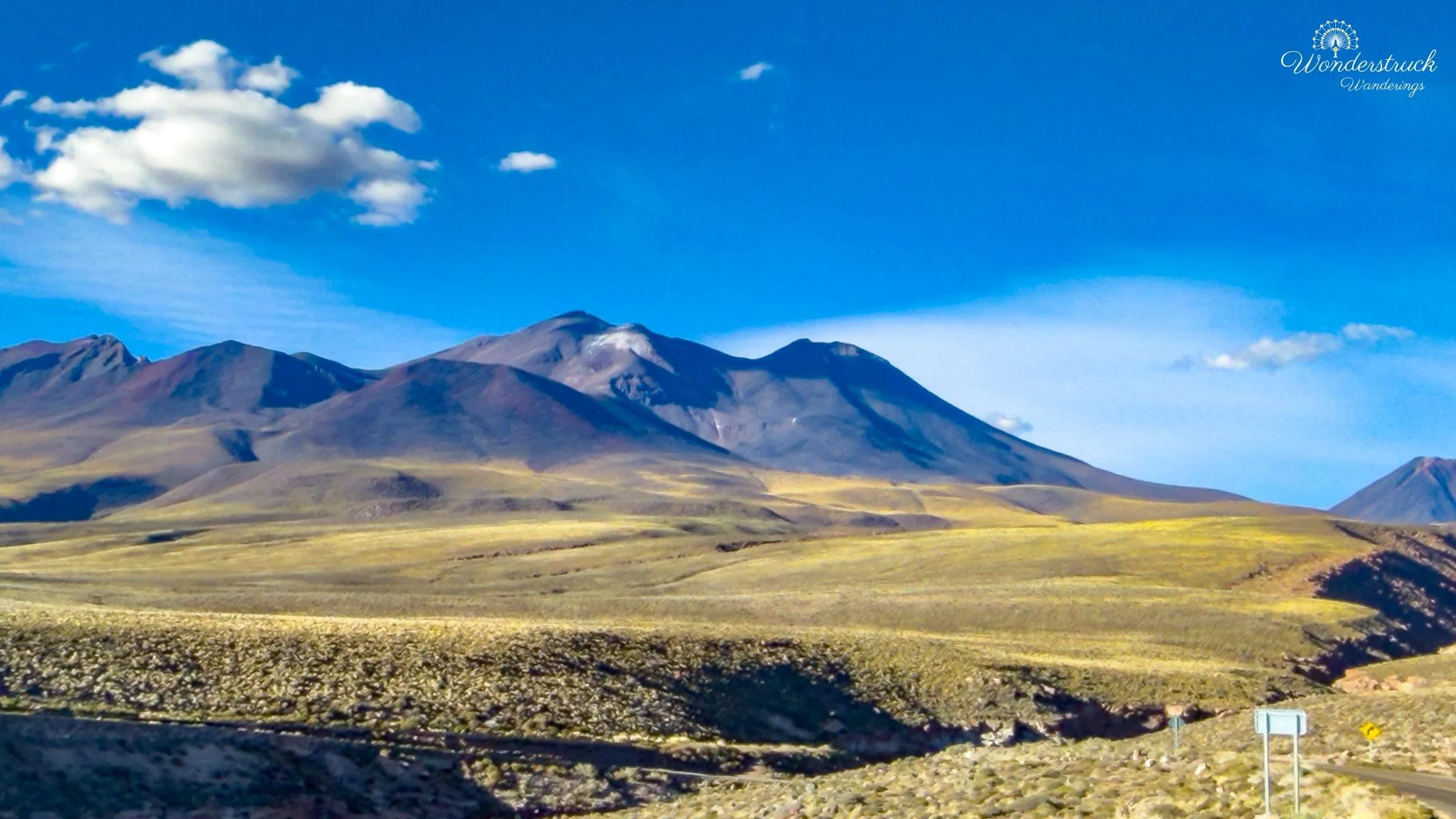
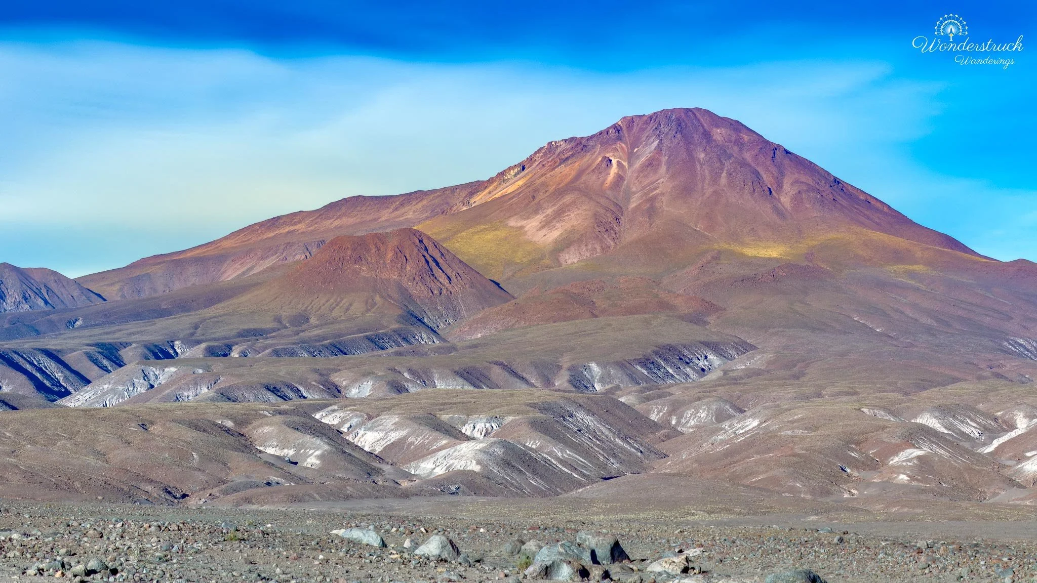
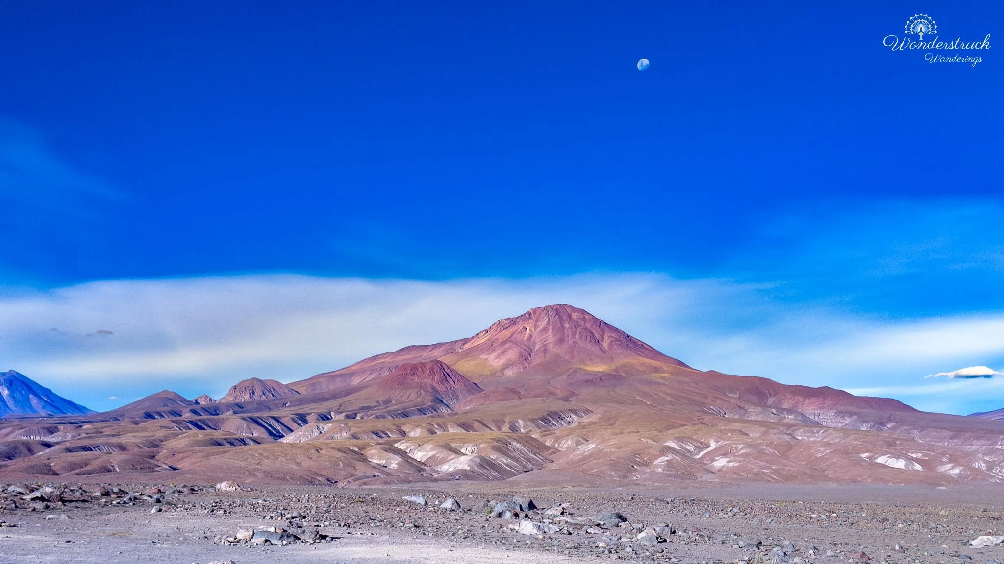
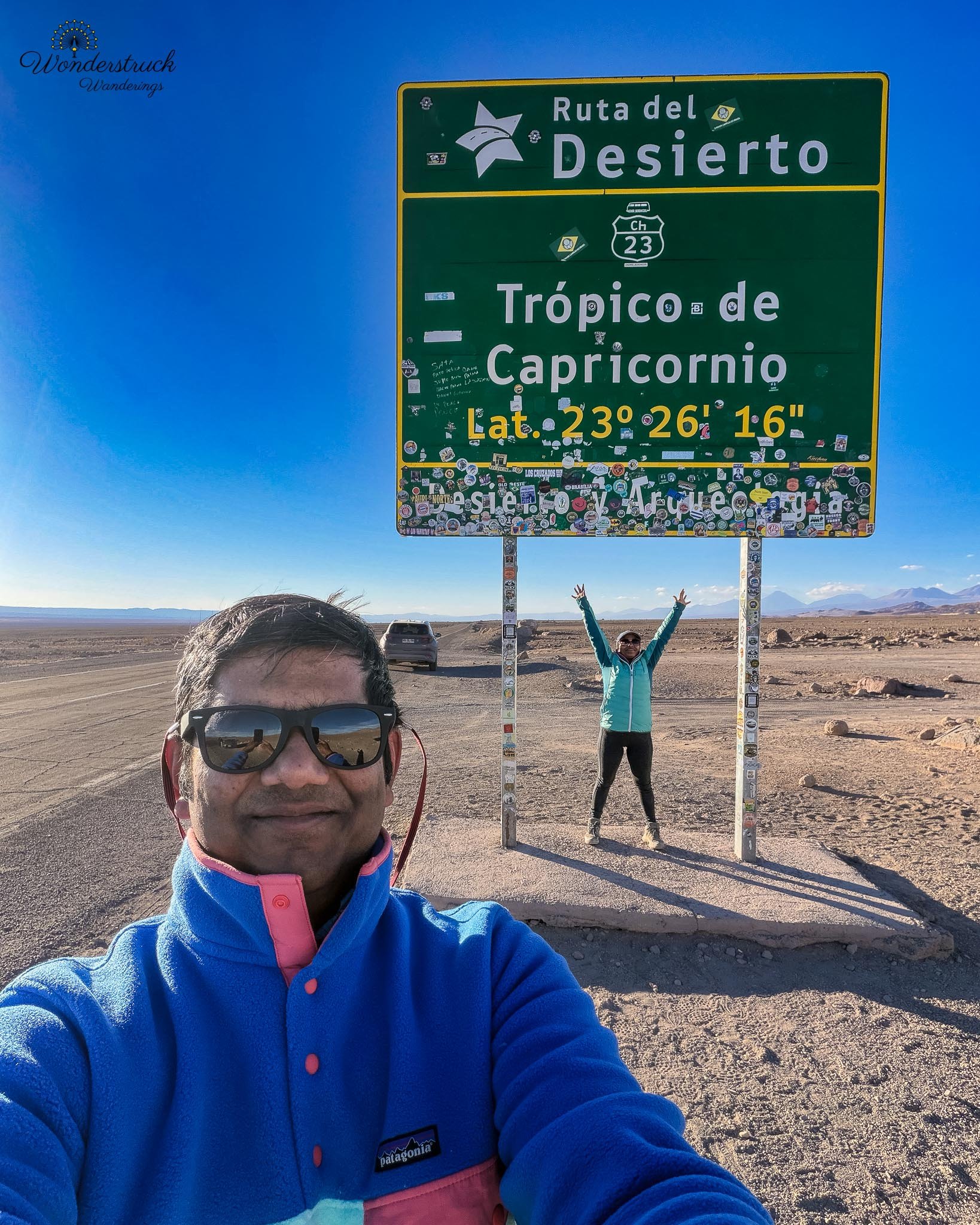
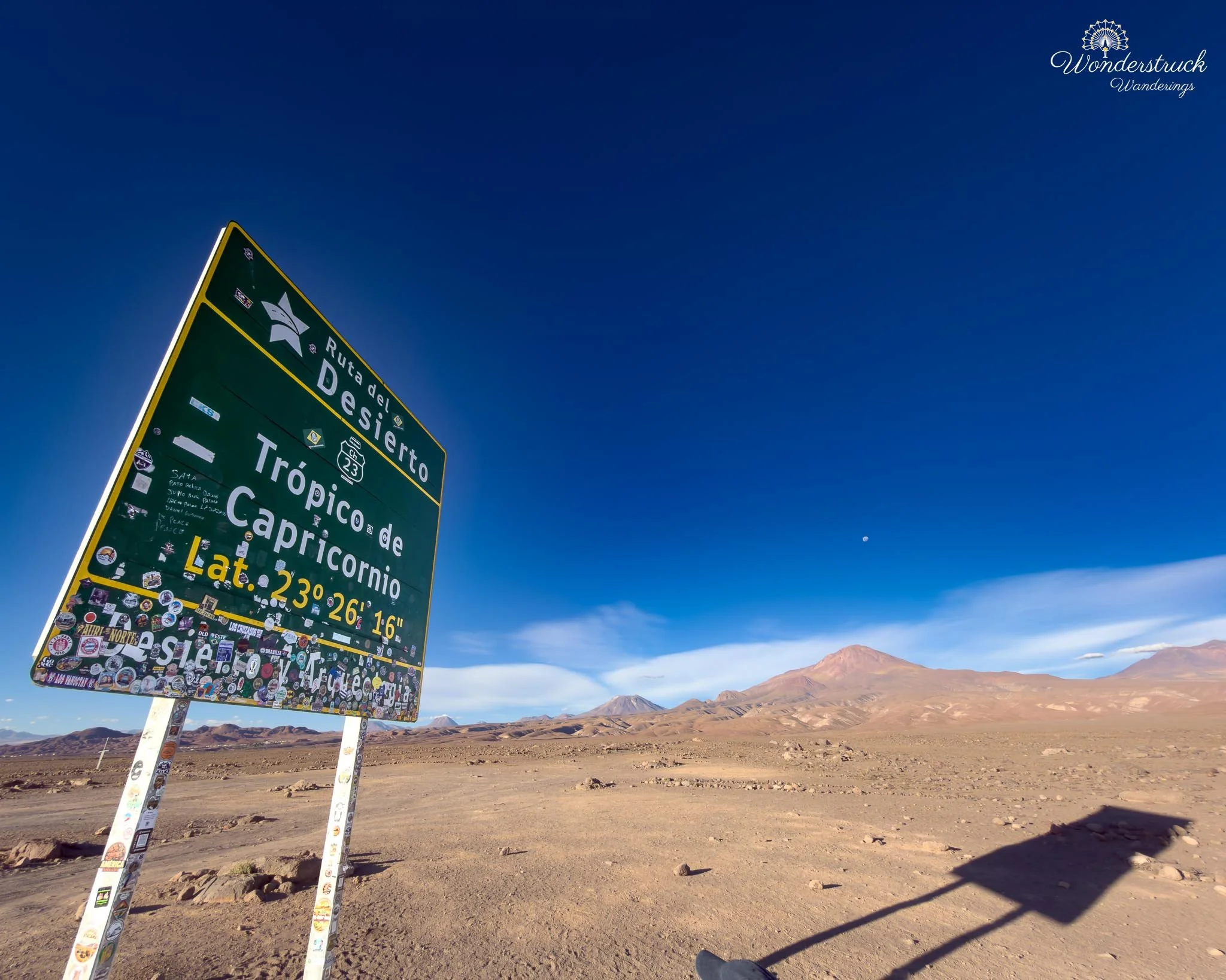
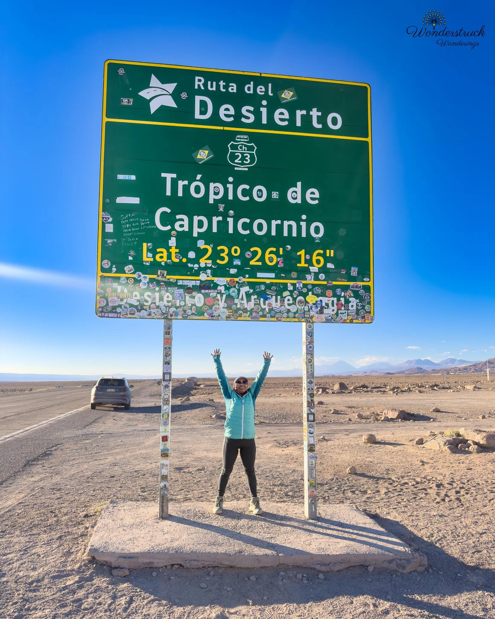
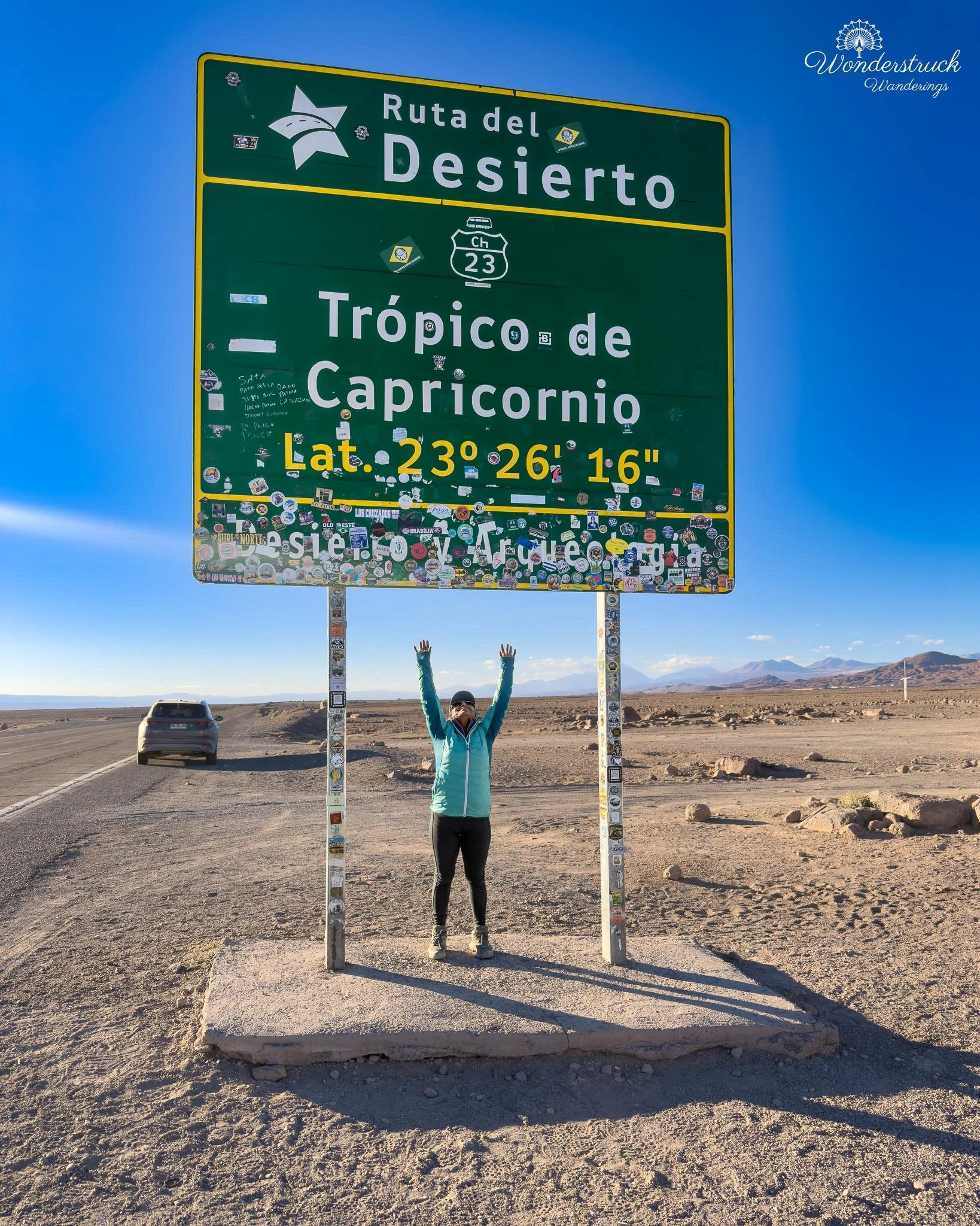
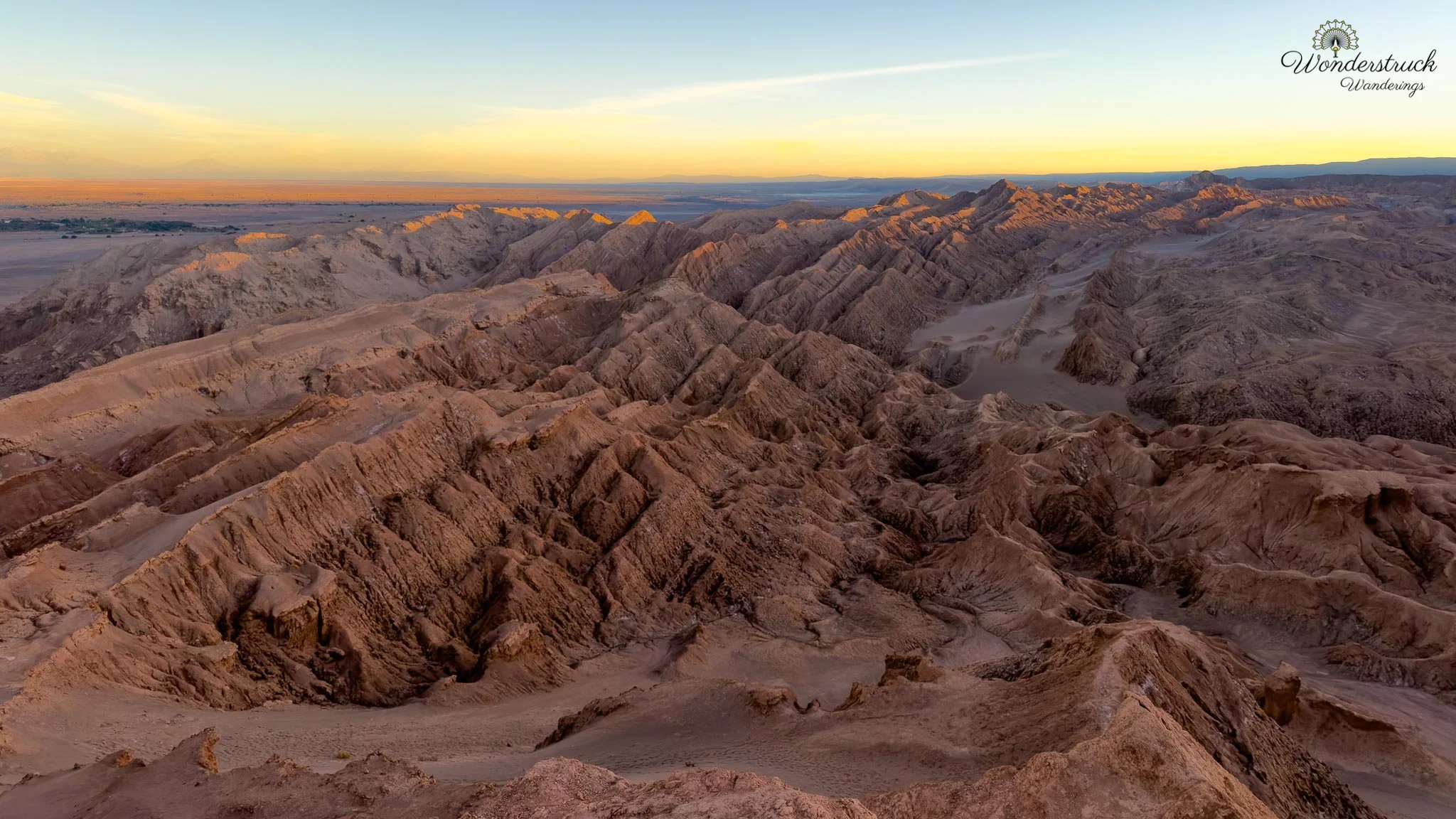
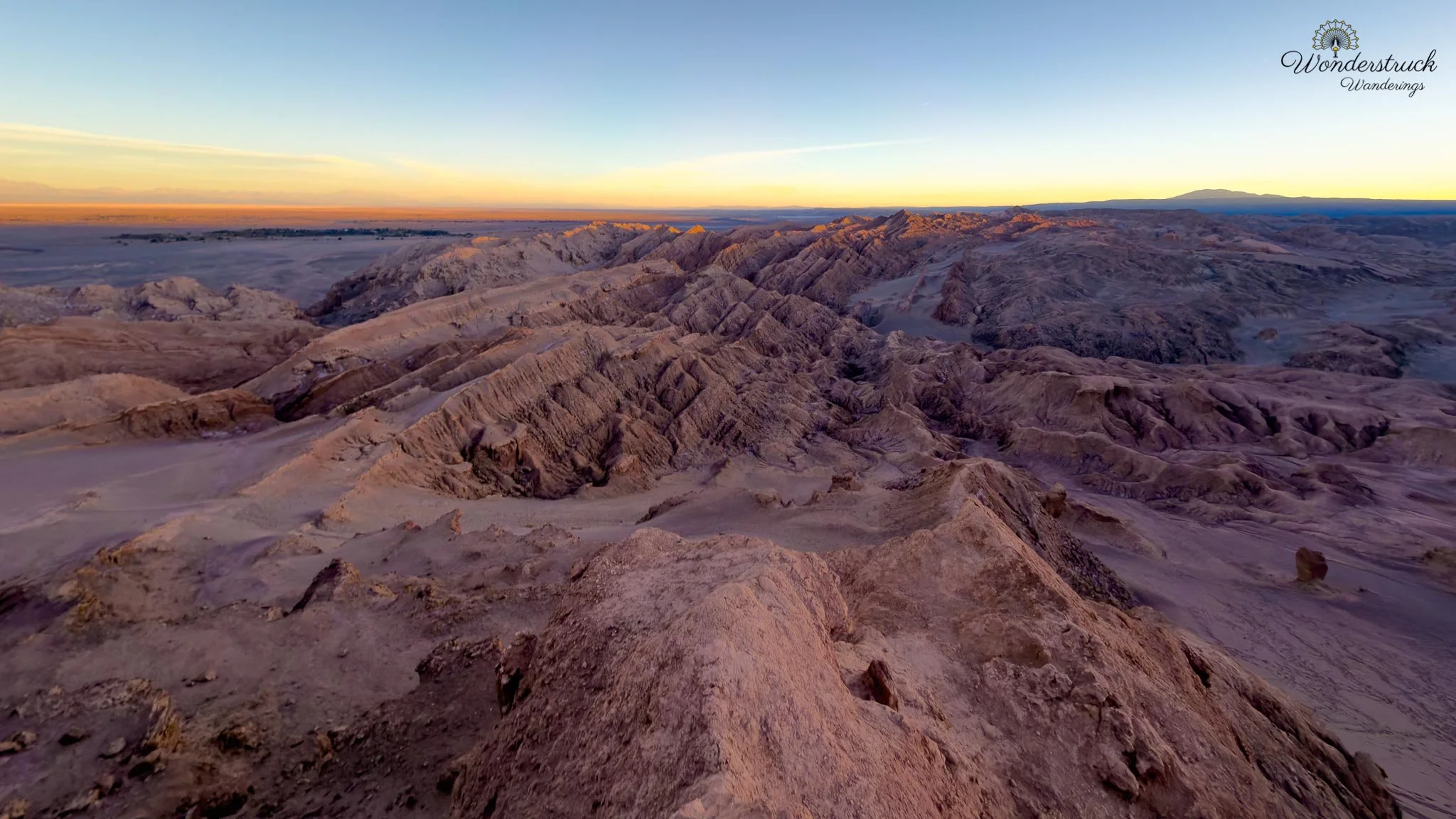
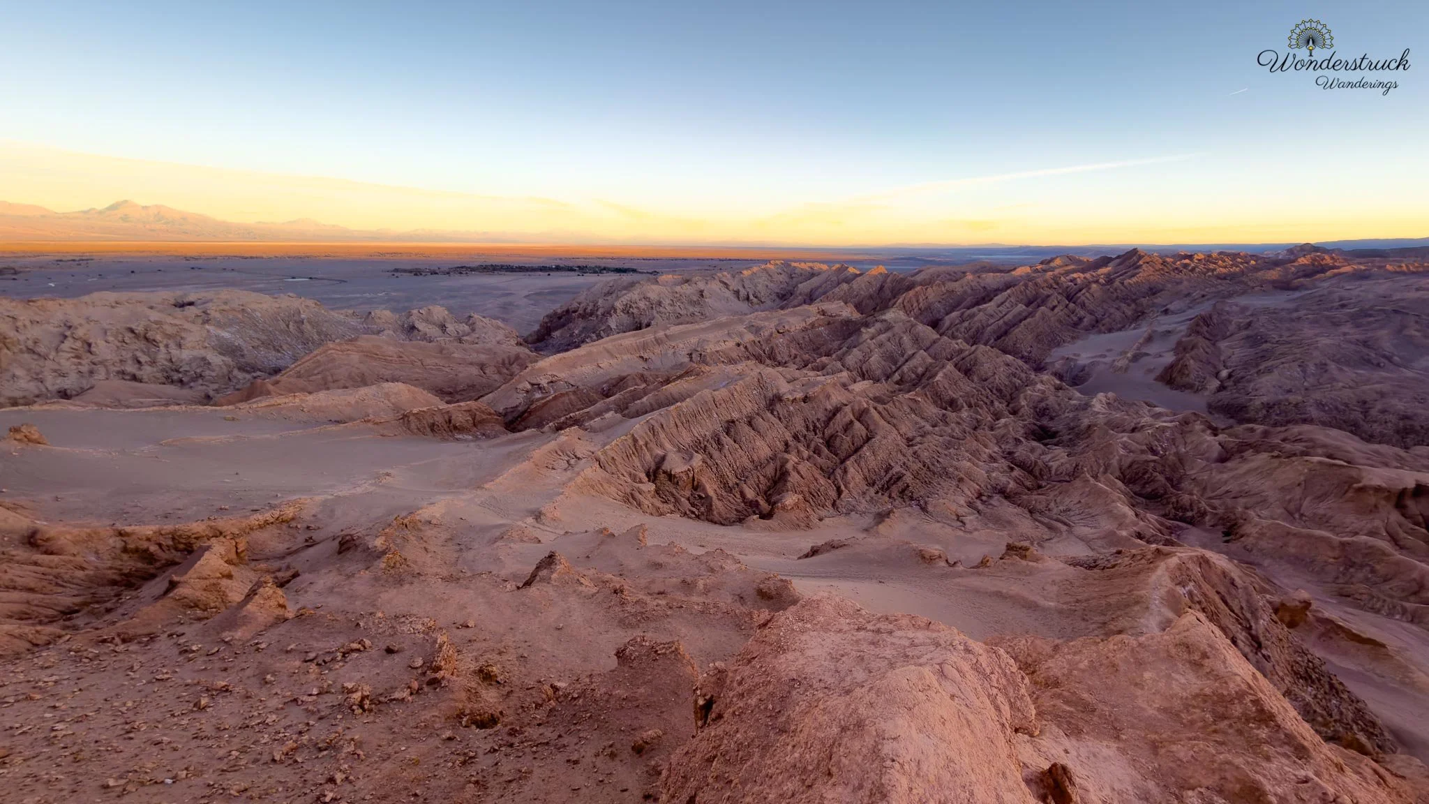
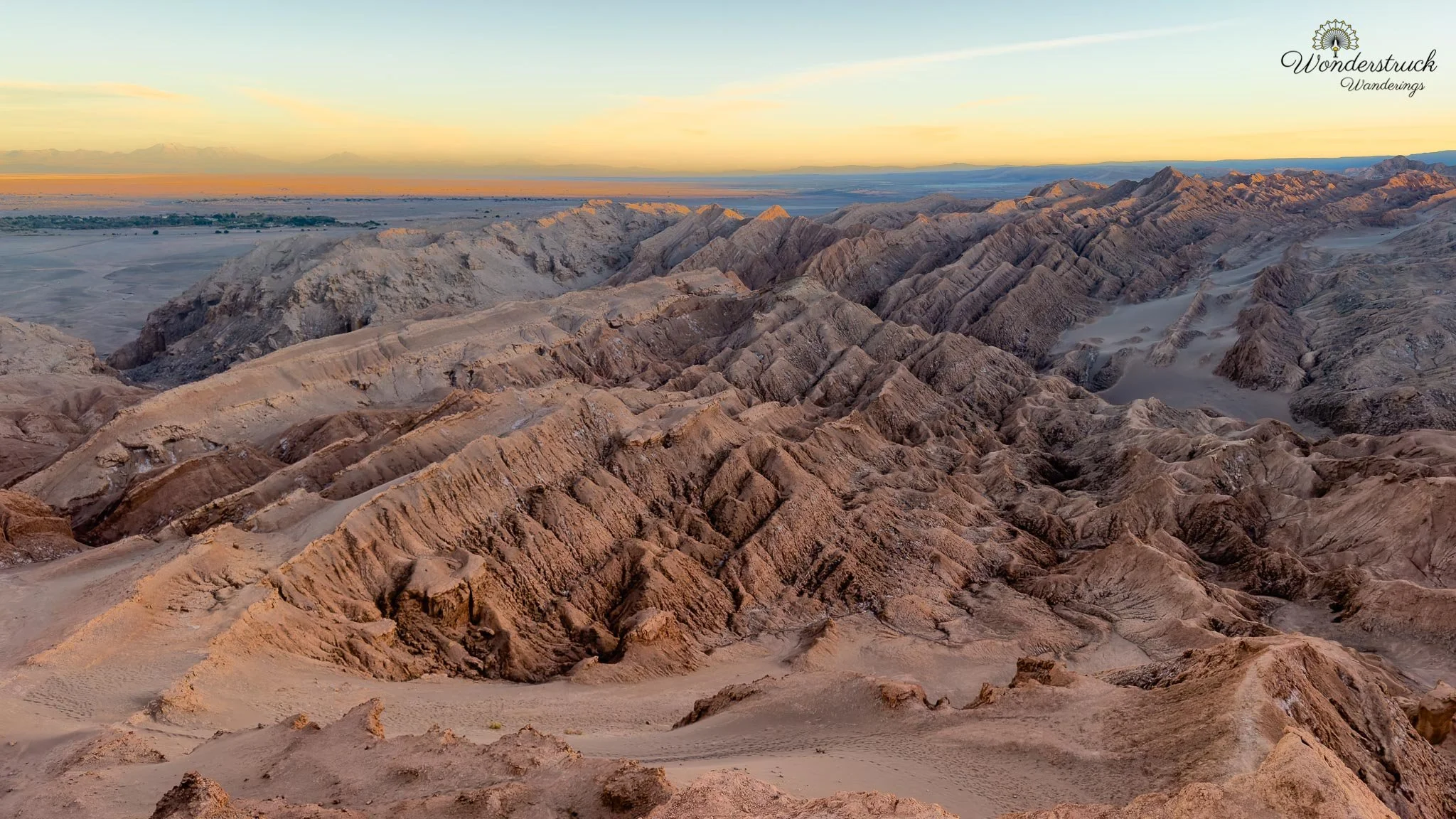
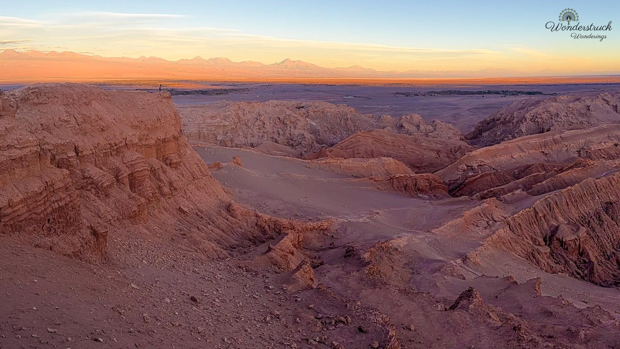
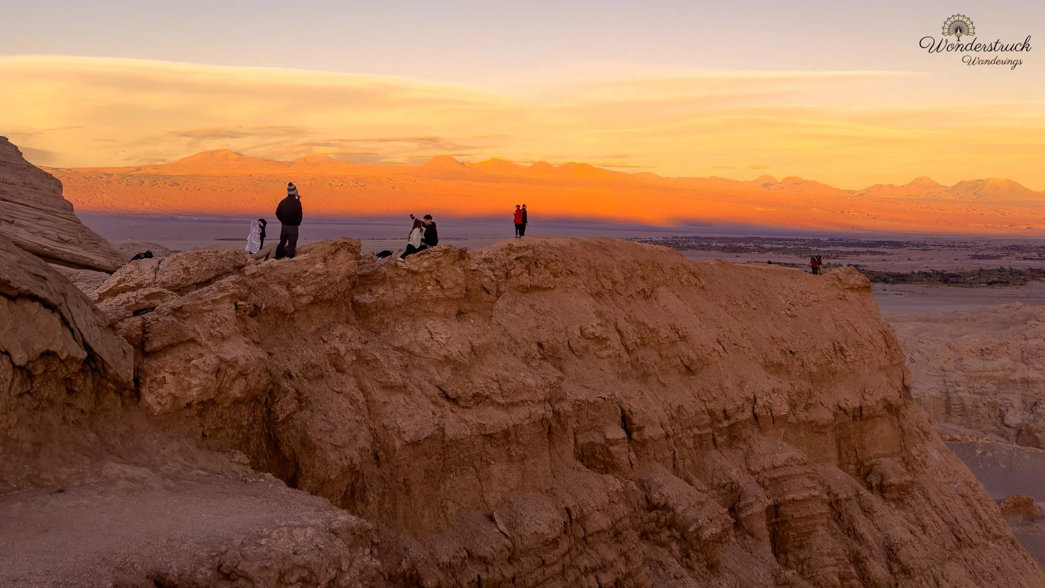
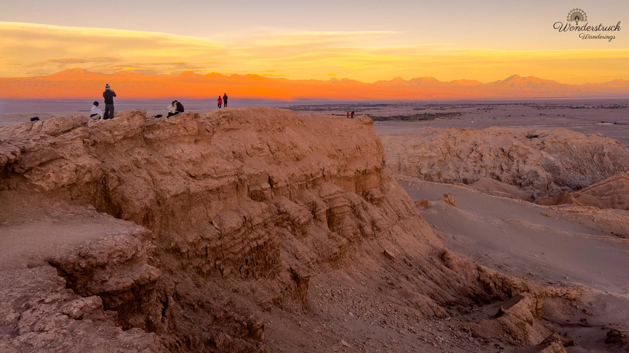
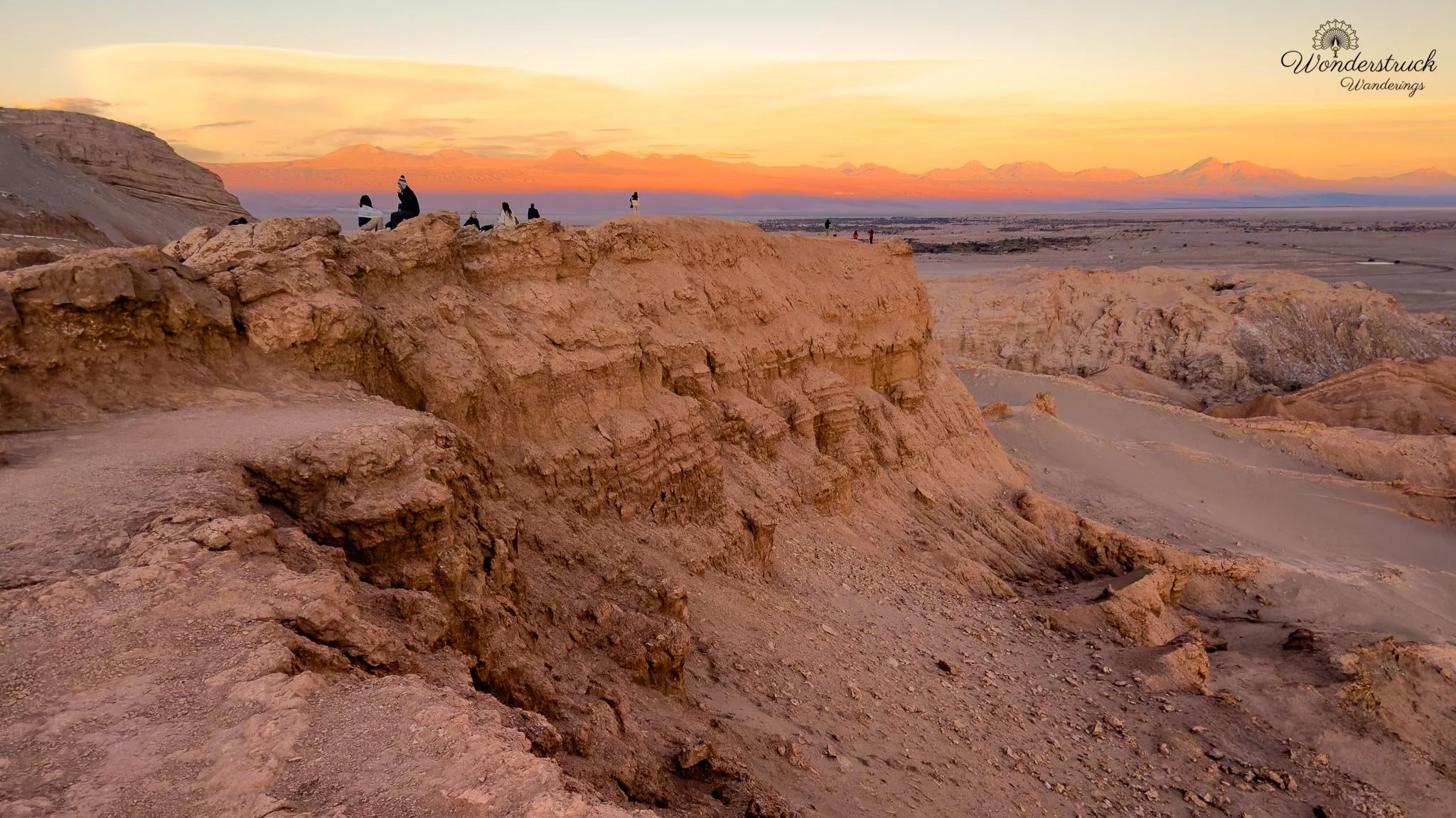
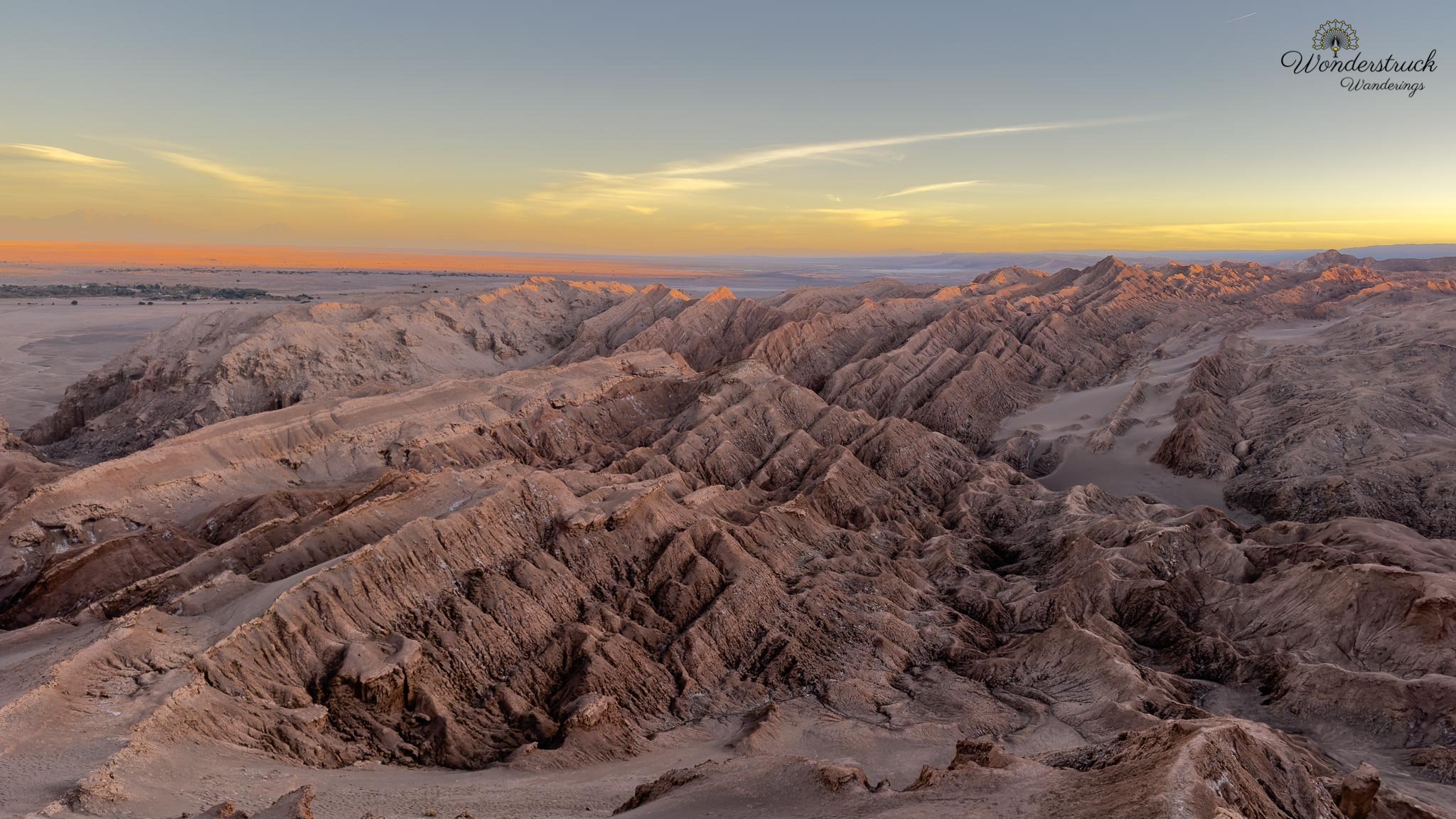
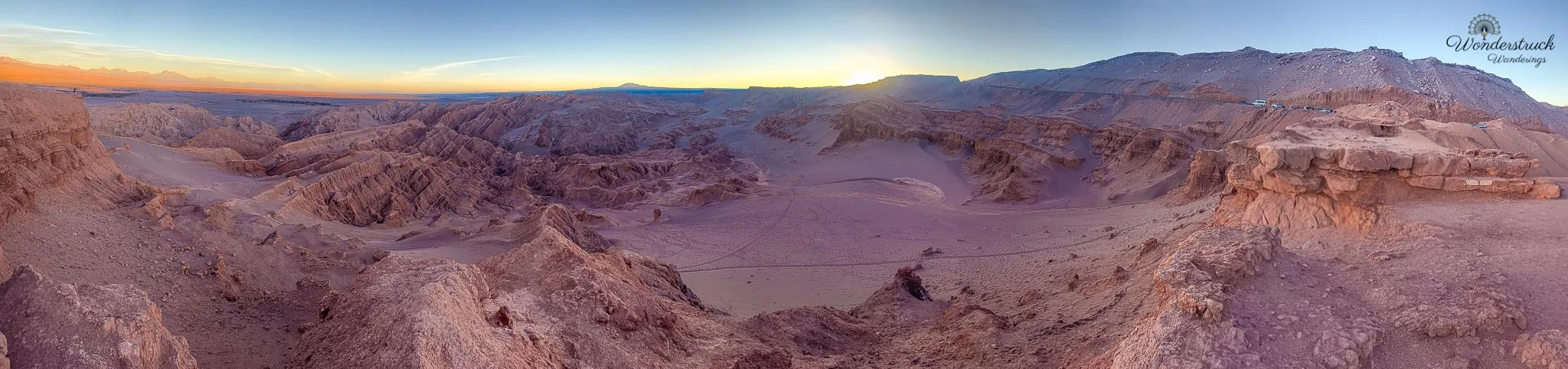
The return drive was breathtaking, especially as we descended from the high plateau toward the Salar de Atacama basin. The road seemed to unspool through the volcanic landscape, dropping gradually from the cold puna back toward the warmer desert below. The late-afternoon light softened the mountains, deepened the colors of the slopes, and turned the road itself into part of the scenery. After a full day of lagoons, salt flats, birds, wind, and altitude, the descent felt like one of the best drives of the trip. On the way back, we stopped at the Tropic of Capricorn sign for the customary photos. It is a quick roadside stop, but it carries more meaning than it first seems. The Tropic of Capricorn marks the latitude where the sun can appear directly overhead during the December solstice, and here in northern Chile, it cuts through one of the driest and most open desert landscapes on Earth. After spending the day moving between the Salar de Atacama and the high Andes, it felt fitting to pause at a geographic line rather than just another viewpoint. The sign itself had become part of the story. It was covered with stickers—travelers, overland routes, tour companies, motorcycle groups, road-trip crews, and people leaving small marks of where they had been. Some stickers were faded by the desert sun, others were newer and still bright, but together they made the sign feel less like a simple marker and more like a record of movement through the Atacama. Everyone stops for the same quick photo, but the stickers show how many different journeys pass through that same point. We took our photos, stretched our legs, looked back at the road and the empty desert around us, and continued toward San Pedro. We reached the Cordillera de la Sal sunset viewpoint in time, though the parking lot was full again. We squeezed the car in where we could and walked toward the second edge to catch the last bit of sunlight hitting the tips of the formations. This was the sunset we had been trying to get right for several days. Once the nearby salt formations fell into shadow, the trick was to turn left and watch the mountains light up instead. Licancabur and the surrounding peaks caught the glow, and the whole horizon shifted through warm desert color—orange, gold, pink, and then the softer blue-purple tones that settle over the Atacama after sunset.
Dinner, Chanar Pisco Sour, and an Unexpected Parade
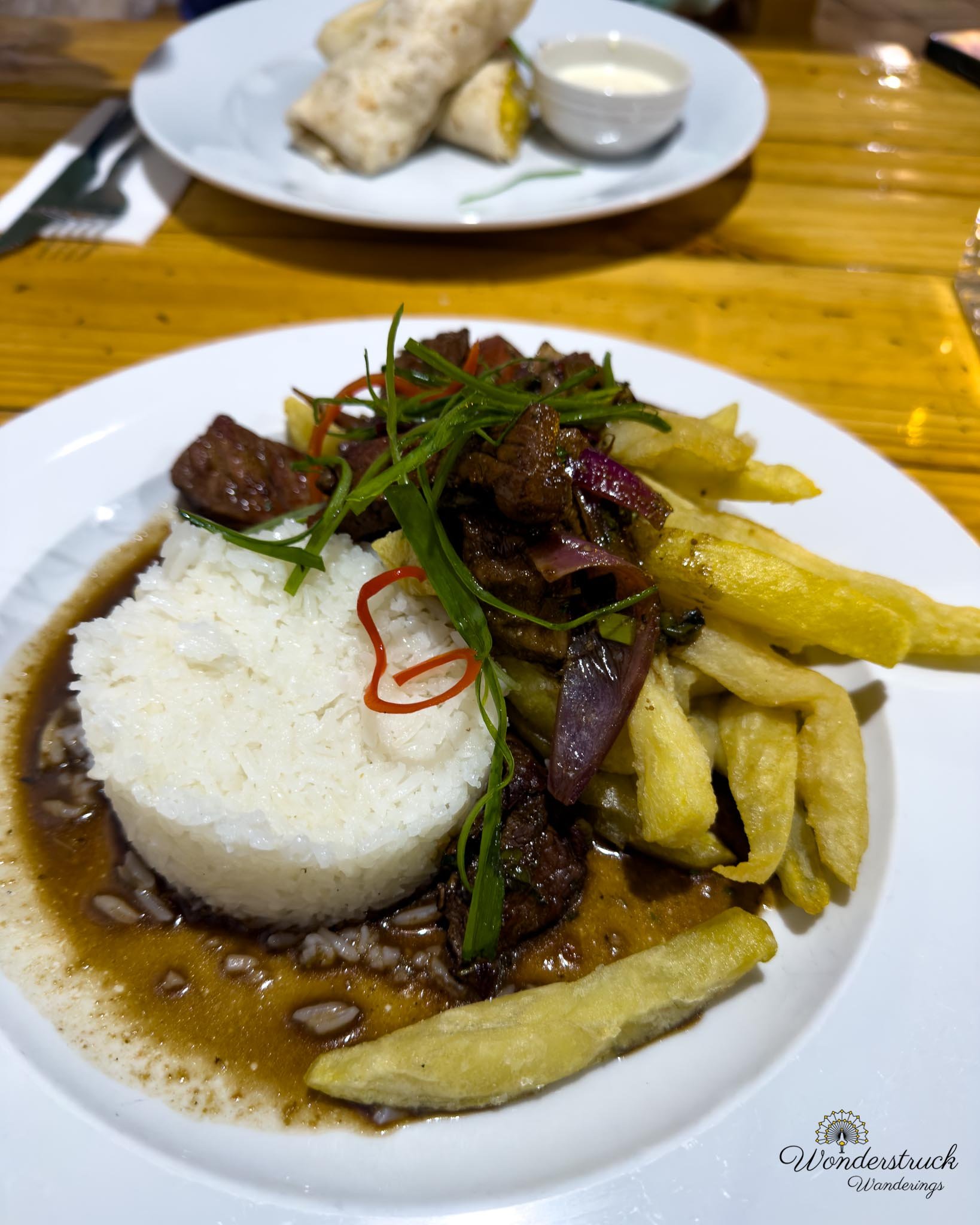
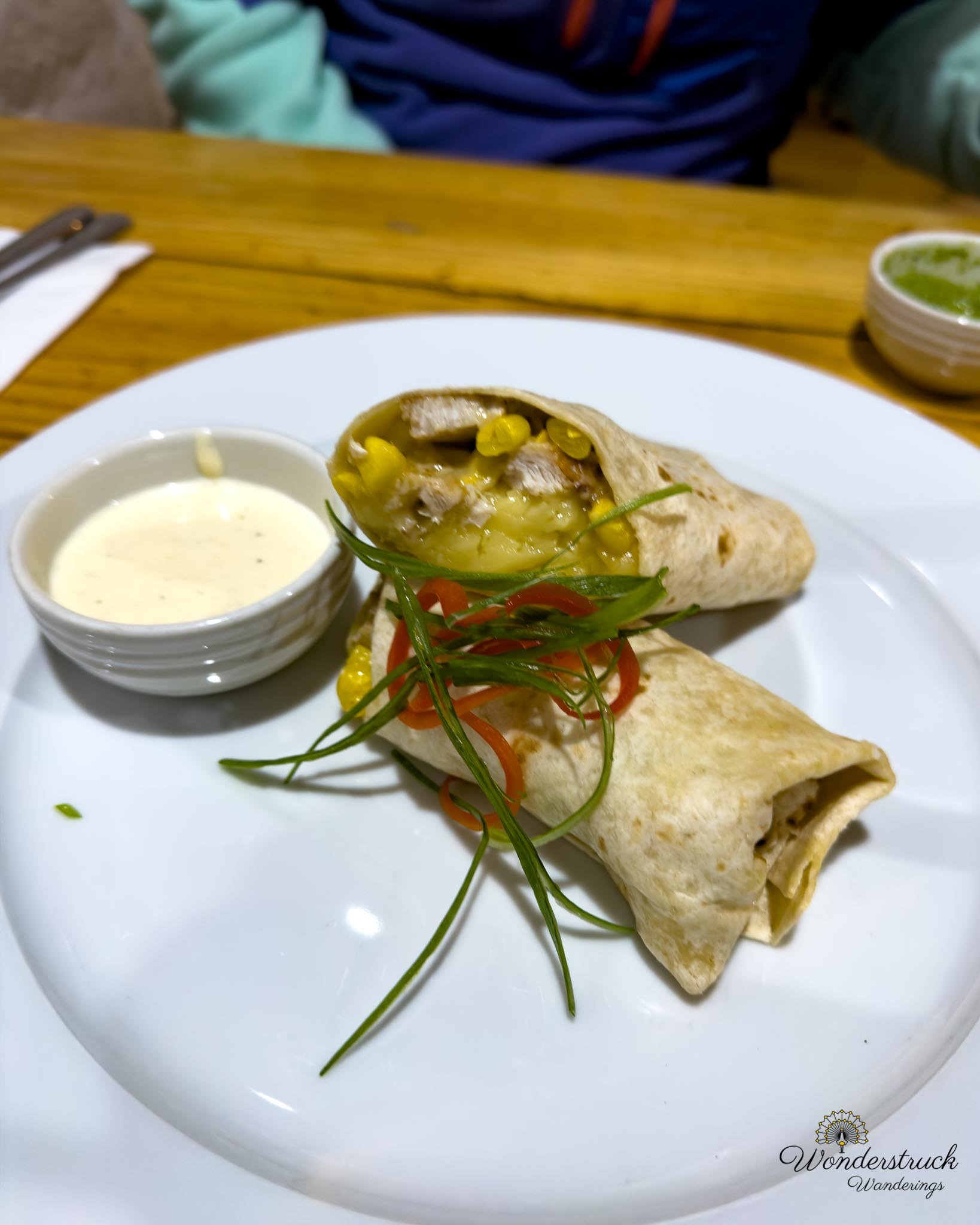
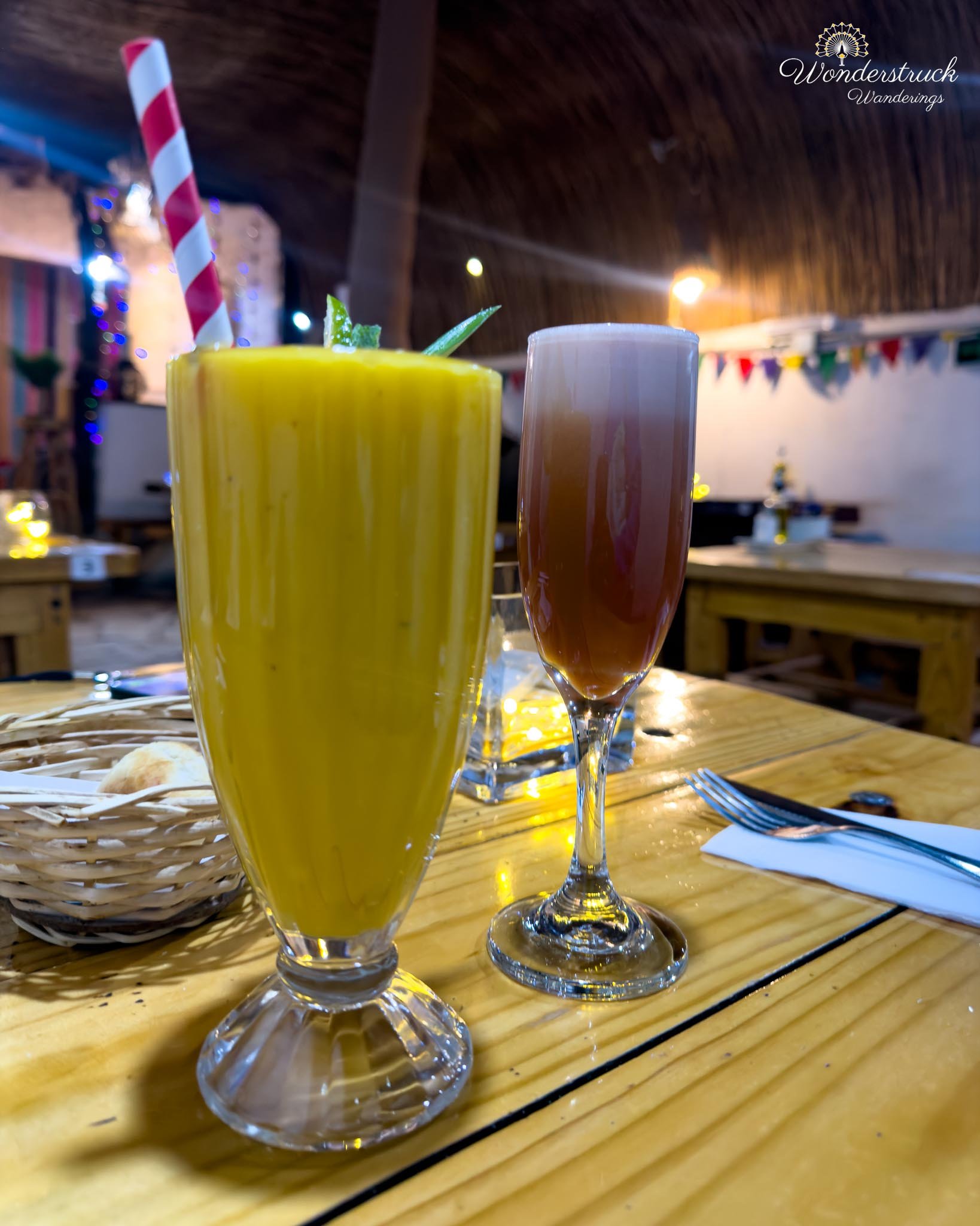
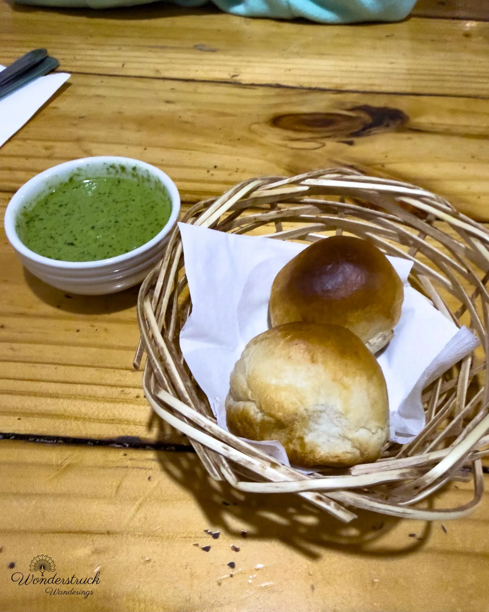
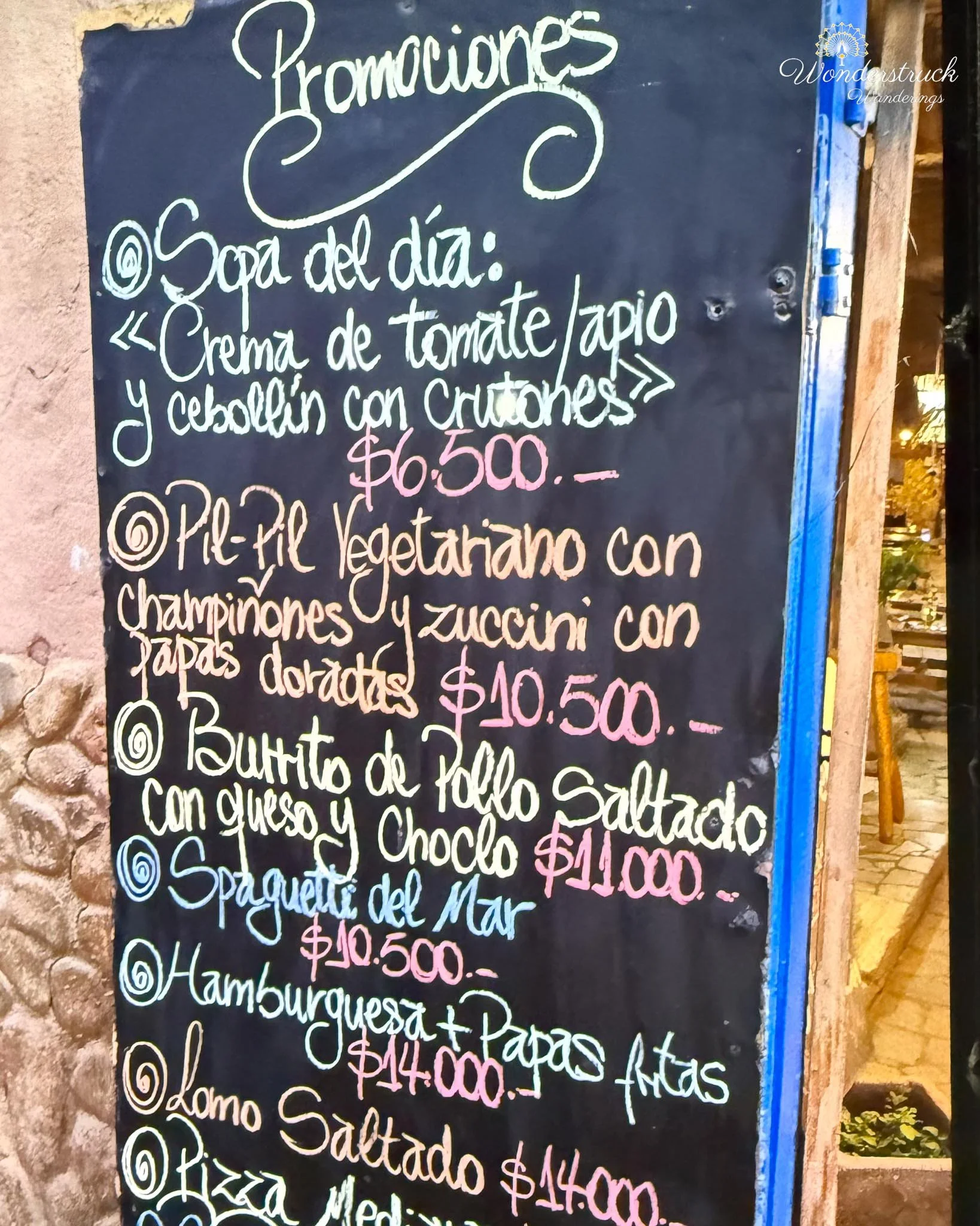
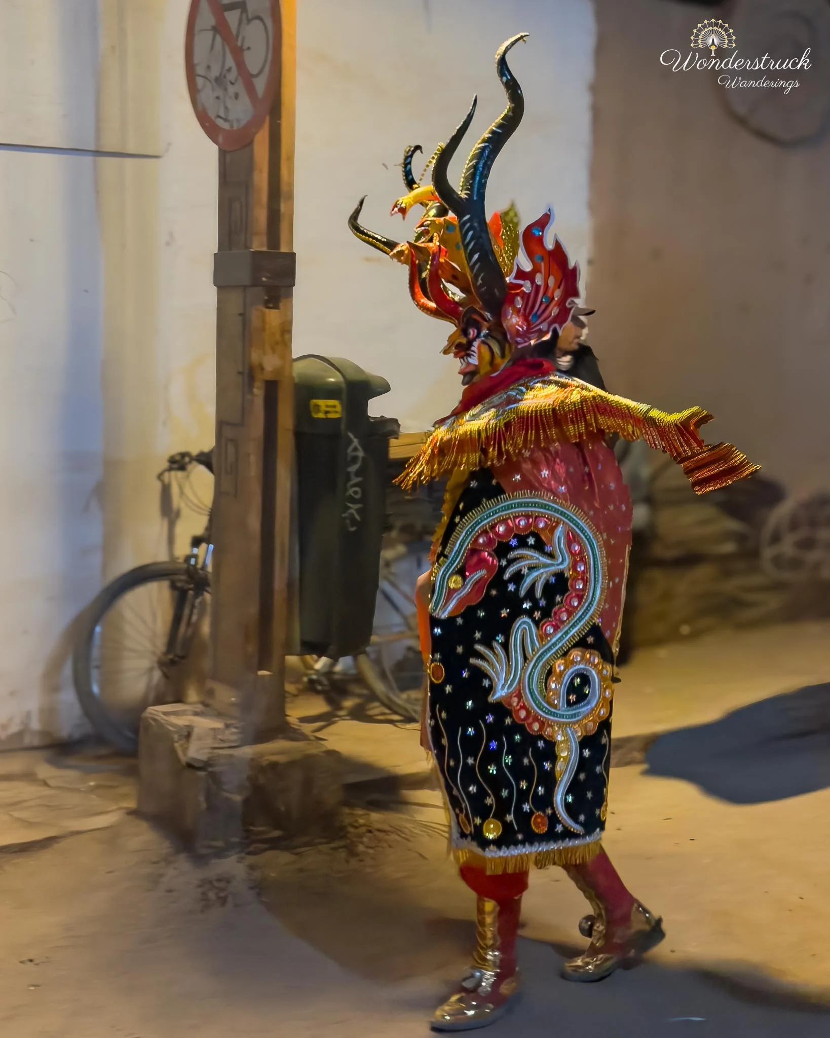
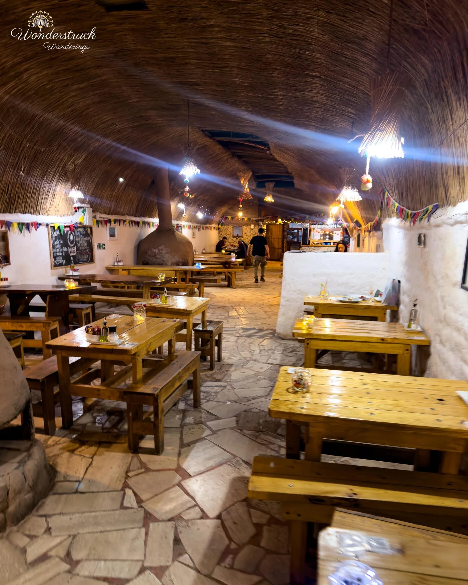
Back at the hotel, we freshened up and walked into town for dinner. We shopped a little along the way, browsing one of the many small shops in San Pedro, and then chose Tierra Todo Naturale for dinner. Shay ordered a chanar pisco sour, and I ordered a mango-orange juice. Chanar had already shown up in our Atacama food experience, and we liked seeing it again in a drink. It is a desert fruit traditionally used in syrups, sweets, and sauces, with a flavor that can bring a nutty, earthy sweetness. In a pisco sour, it adds a local northern Chilean twist to an already classic drink. For food, I ordered lomo saltado, partly because it reminded us of our Peru travel days. Shay went with a burrito-style wrap with chicken, cheese, and corn. After a day of salt flats, lagoons, wind, altitude, and driving, a casual dinner was exactly what we needed. While we were eating, we heard drums and commotion outside. We stepped out and found a small parade or procession moving through the street, with devil masks, drums, and people gathered around. When we asked the waiter what it was for, he basically said, just like that, which made it even better. It reminded us of a similar unexpected parade we had seen in the Andean mountains near Cusco. These are the moments you cannot schedule: a street suddenly filling with masks and drums while you are halfway through dinner in a desert town. After that, we walked back to the room, showered, and went to sleep.