Self-Driving to El Tatio Before Sunrise
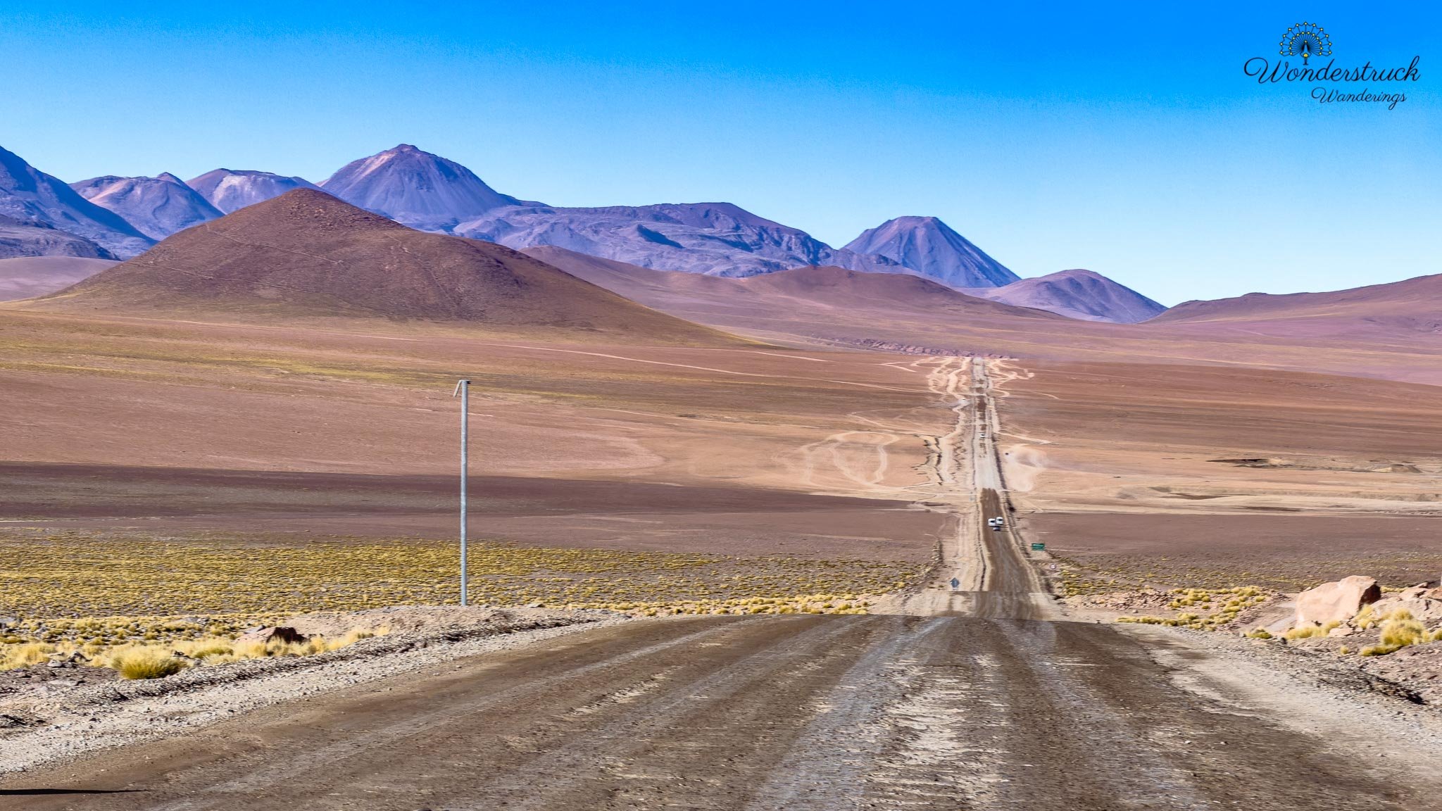
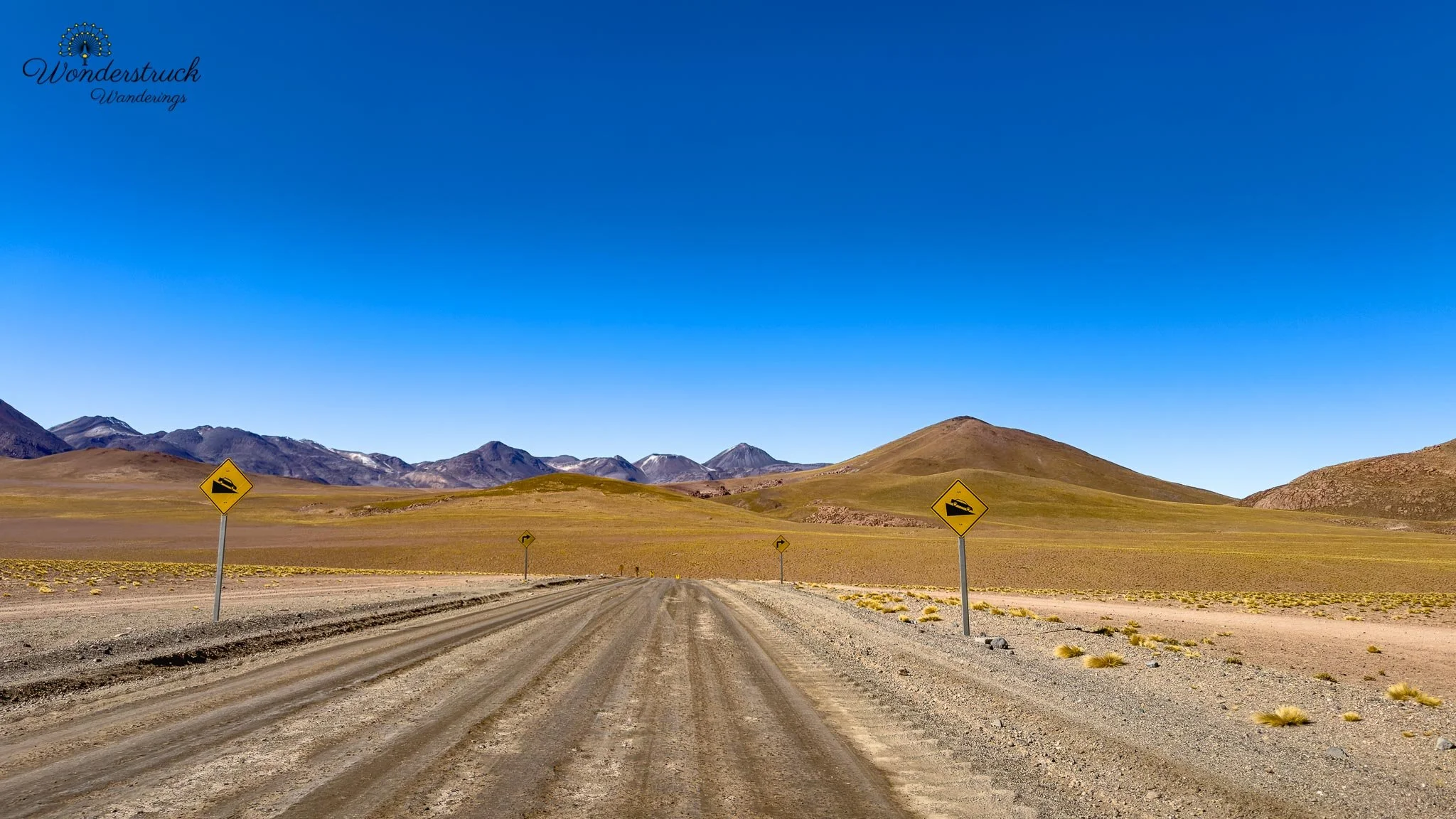
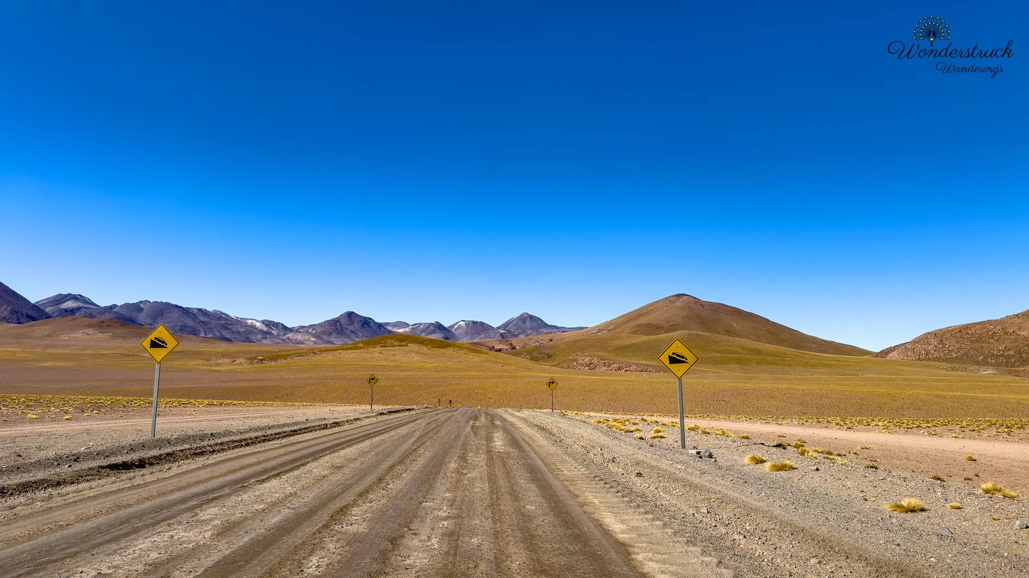
Day 4 began with one of the classic Atacama decisions: take a tour or self-drive to El Tatio Geysers. El Tatio is one of the top destinations near San Pedro de Atacama, but it is also a place where the logistics matter. You are dealing with a pre-dawn departure, freezing temperatures, high altitude, dark roads, gravel sections, washboards, potholes, and the need to arrive before sunrise if you want to see the geysers at their most dramatic. If any of that sounds stressful, a group tour is the easier option. If your budget allows, this is also one of the places where a private tour makes the most sense in the Atacama. You still get the early start and local guidance, but with more control over pacing, photo stops, birding, and timing. If we had to choose only one Atacama excursion where a private tour would be worth the splurge, El Tatio would probably be at the top of the list. That said, self-driving is very doable if you are comfortable with early-morning mountain driving and take the rougher sections slowly. The reward is flexibility. You can stop for birds, landscapes, vicuñas, and viewpoints on your own schedule instead of following a fixed group rhythm. For us, that freedom mattered, so we chose to self-drive. The road was manageable, but not something to treat casually. The first long stretch toward Machuca was in better condition, but after that the route became progressively rougher, with gravel, washboard surfaces, and sections where slowing down was absolutely necessary. In the dark, that always feels more intense. The Atacama is already a landscape that demands respect; add high altitude, freezing air, and pre-sunrise roads, and suddenly every decision feels sharper. The reason everyone tells you to arrive before sunrise is simple: that is when El Tatio is alive. We had read this advice before going, but it is one of those things you only fully understand once you see it. Fifteen minutes of sun can change the whole field. Some vents keep steaming, but the dramatic columns fade quickly once the air warms. So if you want to make the trip, do it in the morning and get there early.
Steam, Altitude, and the Best Sunrise Section
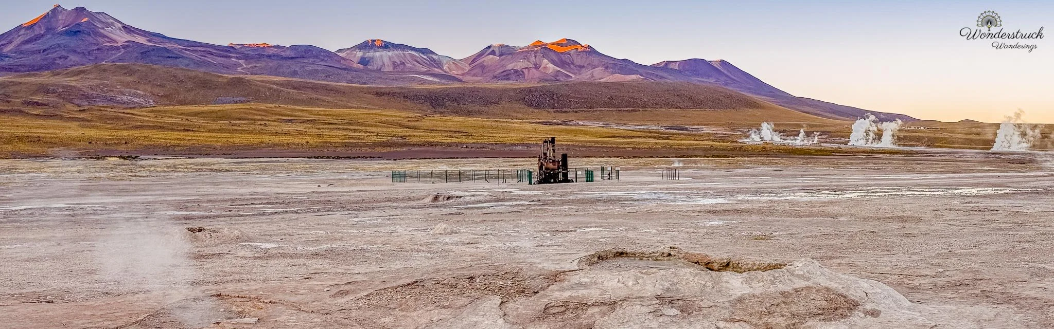
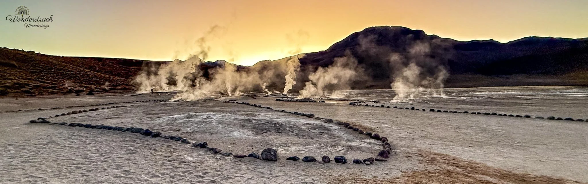
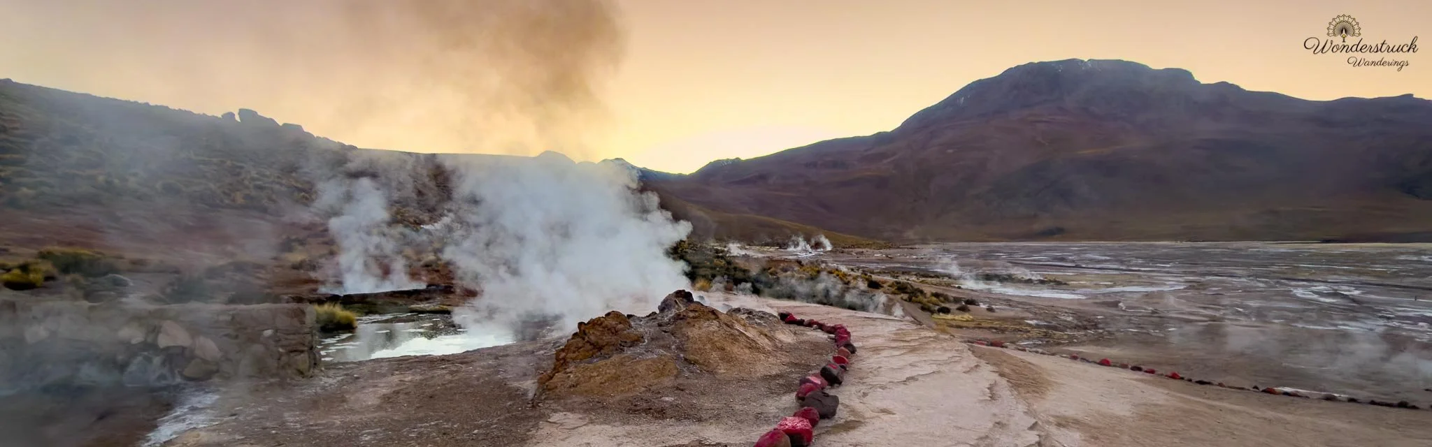
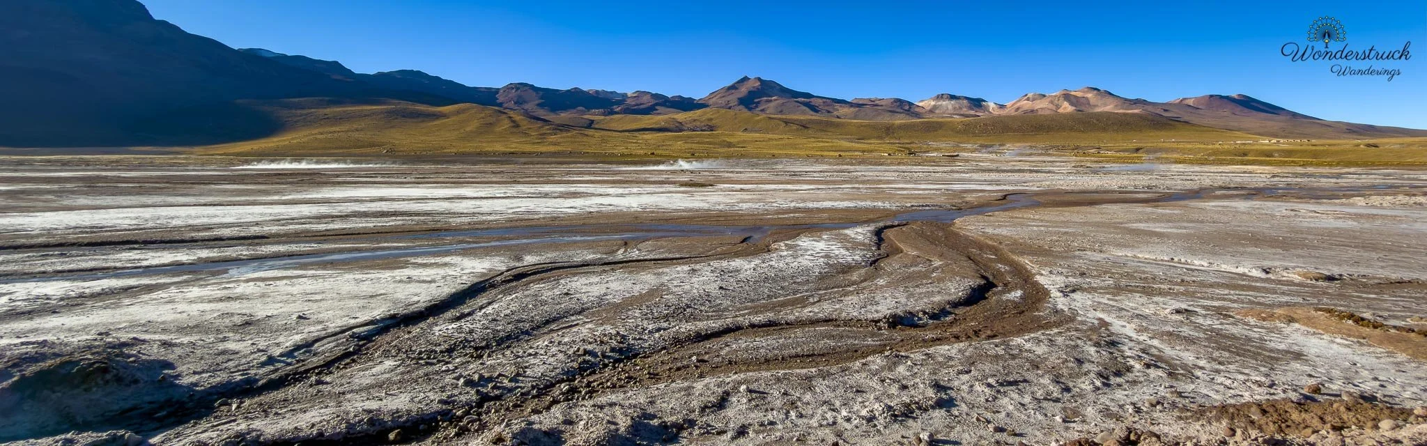
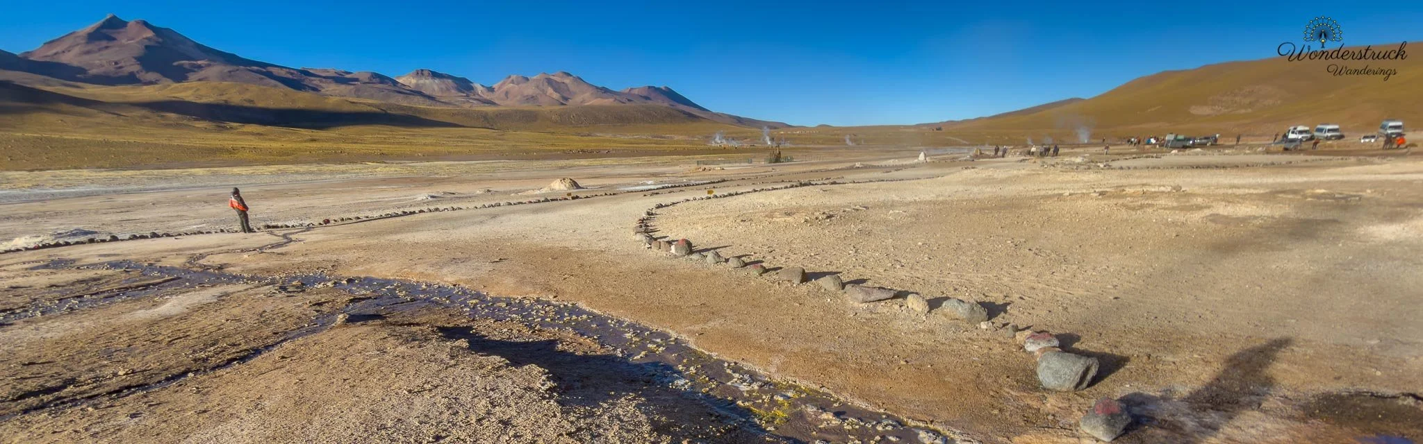
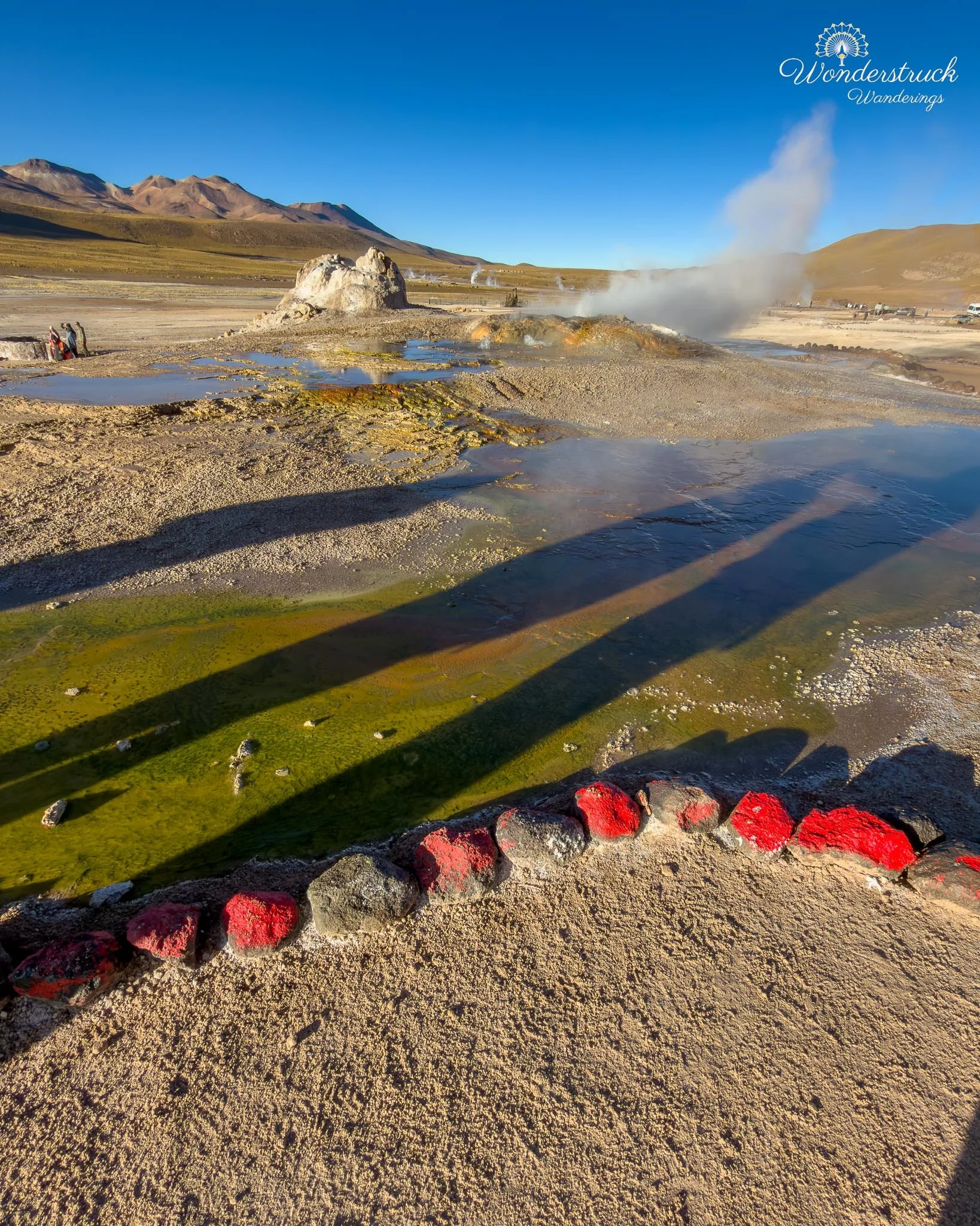
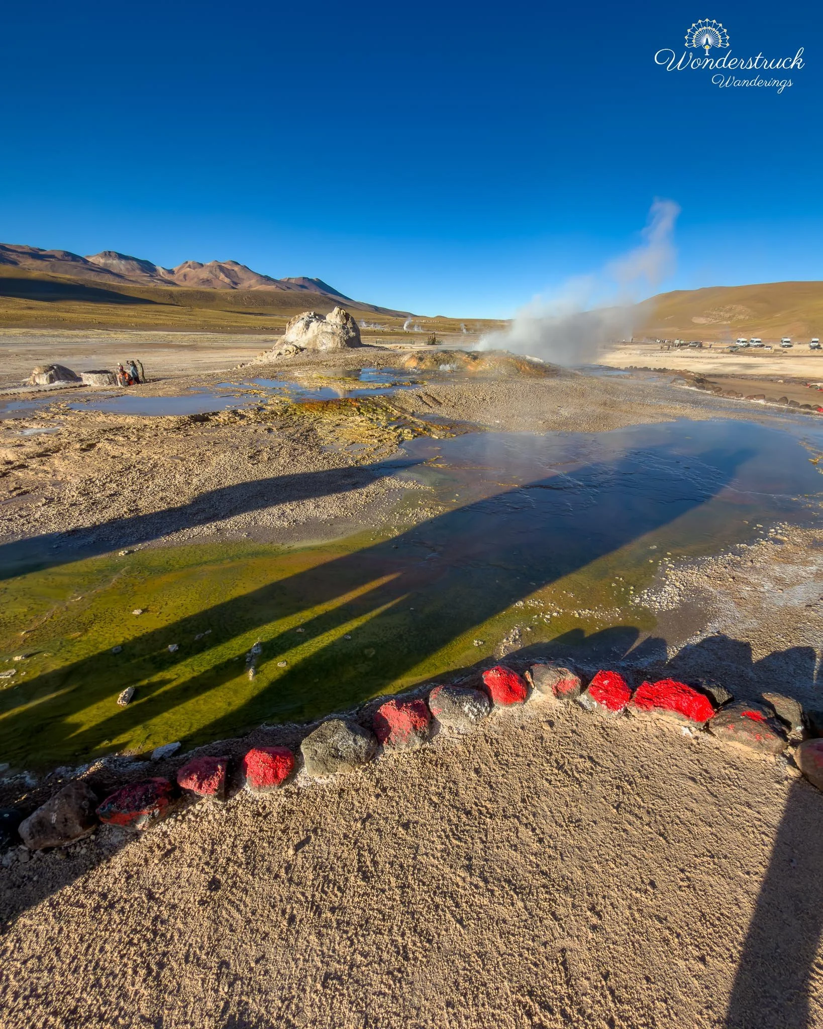
El Tatio sits high in the Andes, roughly 4,200 to 4,320 meters above sea level, about 89 kilometers from San Pedro de Atacama. At that altitude, the place announces itself before you even reach the steam. The cold hits first, then the thin air, then the mineral smell rising from the geothermal field. It is not the kind of site where you casually wander around half-awake. You arrive bundled in layers, slightly breathless from the elevation, and immediately aware that you are standing in one of the highest and largest geyser fields in the world before sunrise. The geothermal field is usually described in three main sectors: the Upper Basin, the Middle Basin, and the Lower Basin, also known as the River Group. These are not just arbitrary visitor zones; they reflect the way the geothermal activity is distributed across the field. The Upper Basin, or main terrace area, is the most active and visually dramatic section for most visitors. This is where much of the classic sunrise experience happens, with dense steam columns, sinter terraces, active vents, and the strongest concentration of true geysers. If you want the best atmosphere at dawn, this is the section to prioritize first. South of the Upper Basin is the Middle Basin, a flatter sinter plain where the features feel different. Instead of only tall steam plumes, this section has more pools and fountain-like activity. Some pools are shallow-looking but extremely hot; others bubble and froth in short, erratic bursts. This area made the geothermal field feel more varied. El Tatio is not just a row of dramatic geysers. It is a whole hydrothermal landscape made of fumaroles, boiling springs, geysers, mineral terraces, mud activity, and channels where hot water eventually feeds into the Río Salado system. The Lower Basin, or River Group, lies farther downstream along the Río Salado side of the field. It is less about the dense, theatrical steam columns of the Upper Basin and more about geothermal activity interacting with water channels and the river environment. Some eruptions and hot springs occur close to the river, and this part of the field gives a better sense of how El Tatio is connected to the larger drainage system of the Atacama highlands. It is also the kind of area where the landscape begins to open again, with geothermal activity, water, grassier patches, and high-Andean scenery all mixing together.
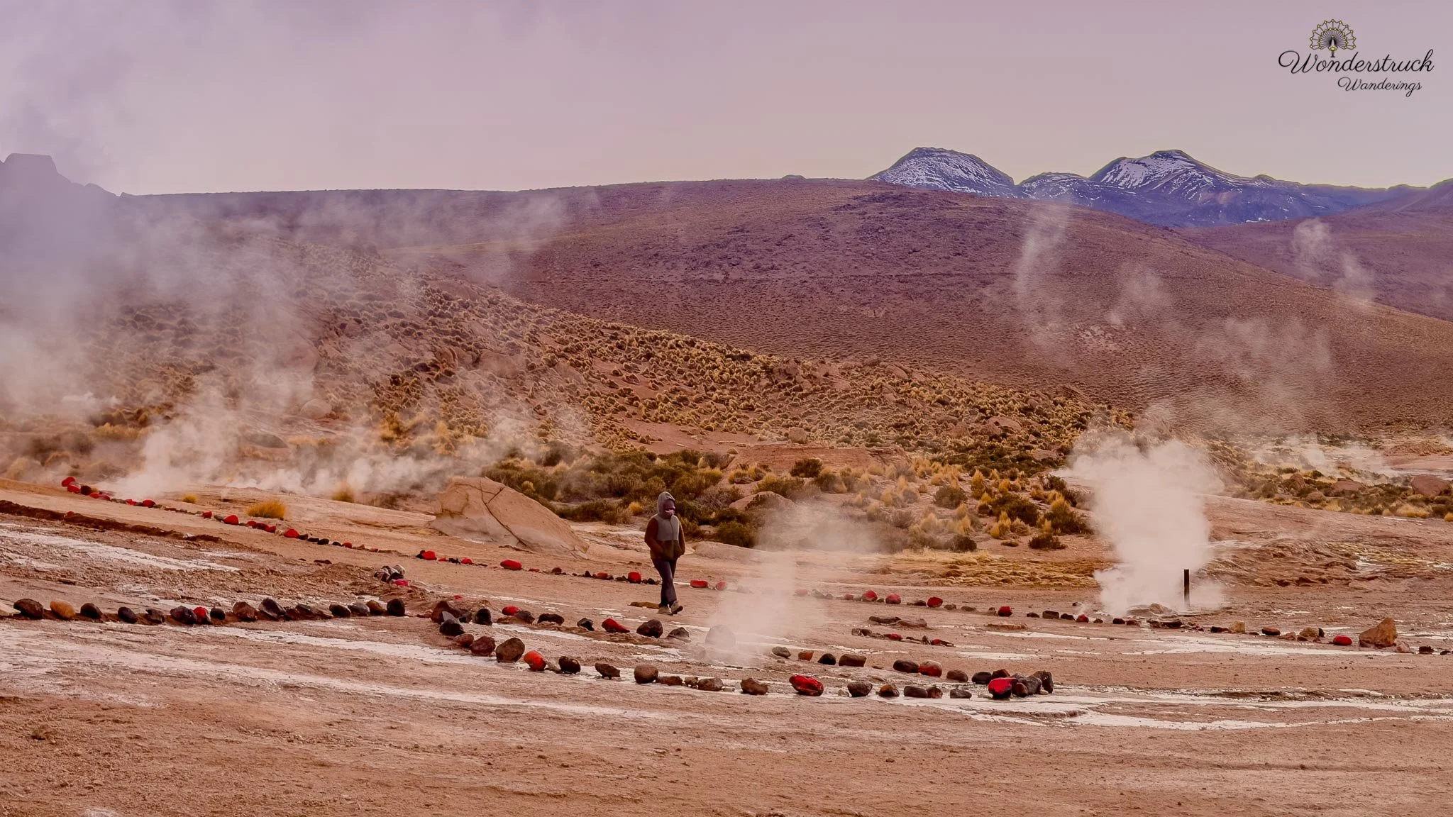
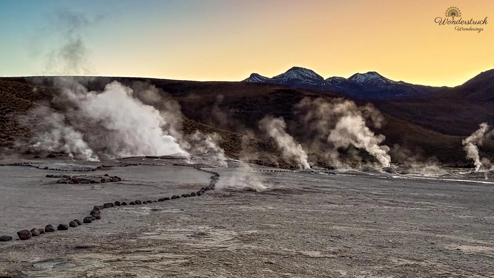
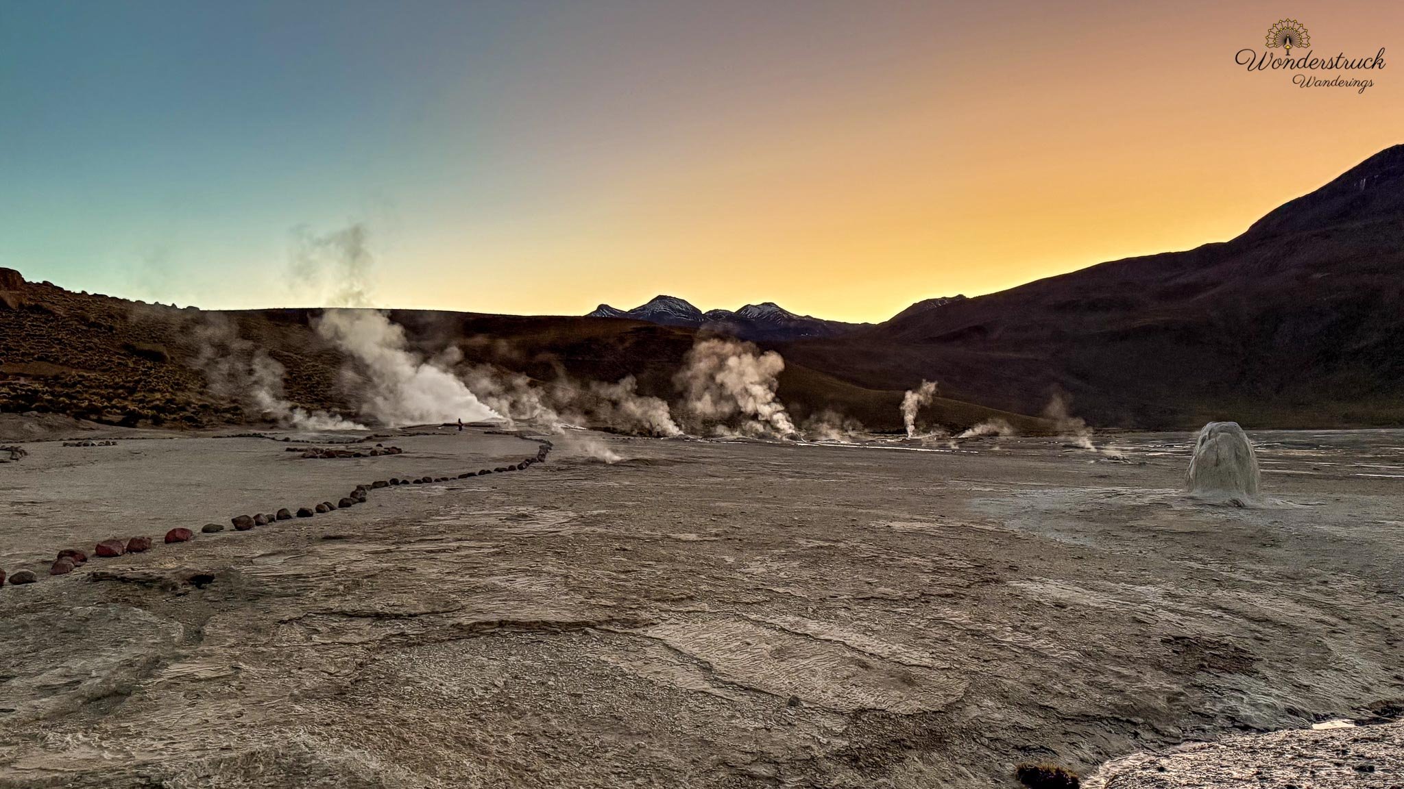
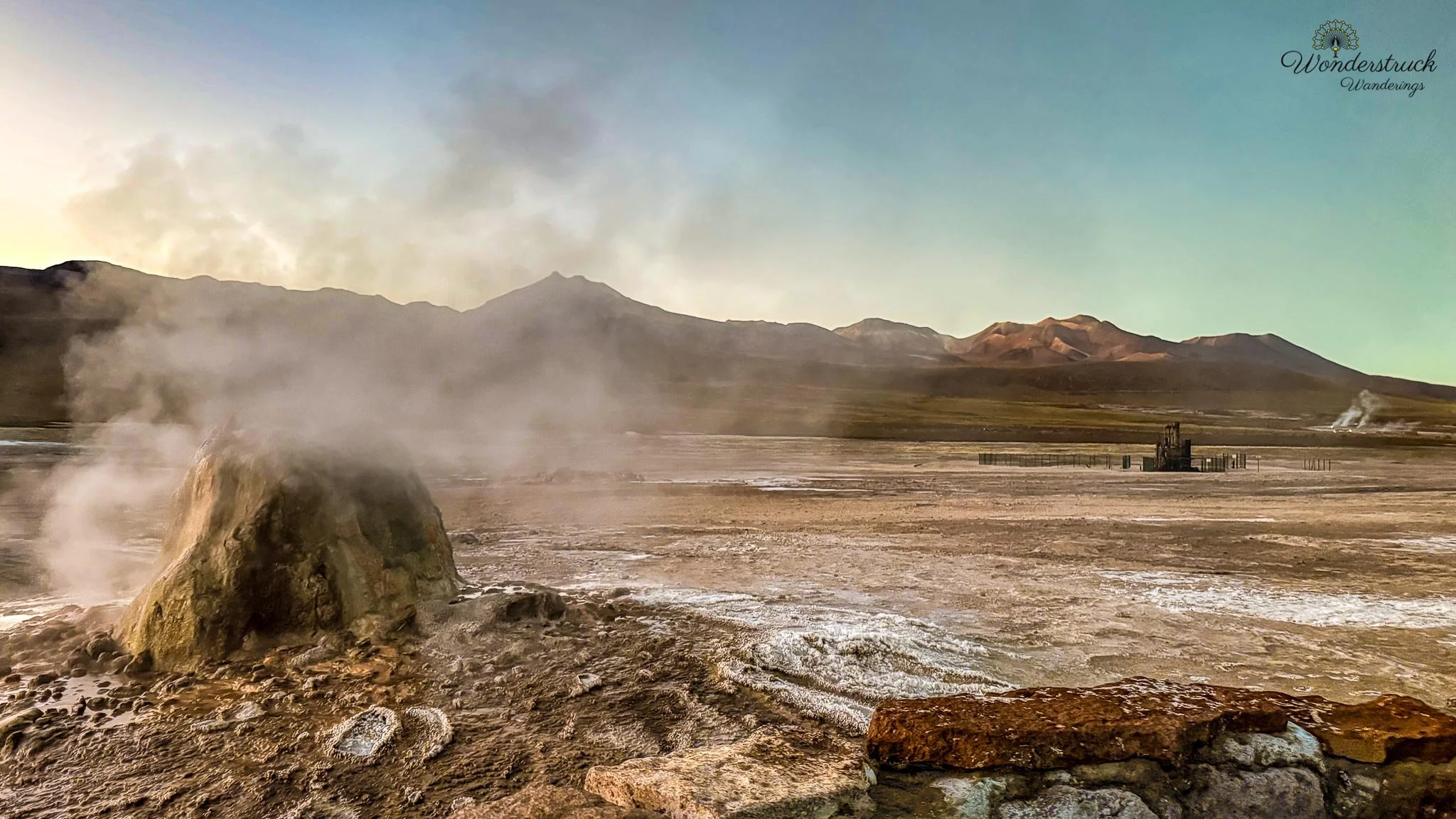
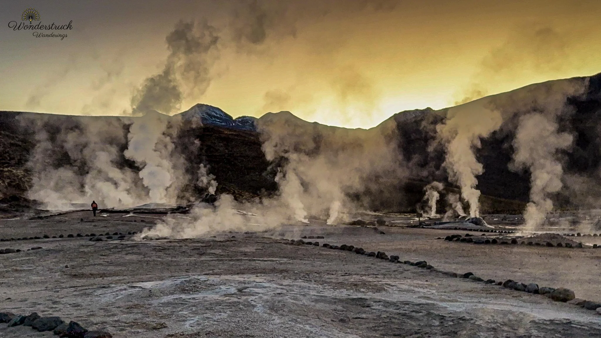
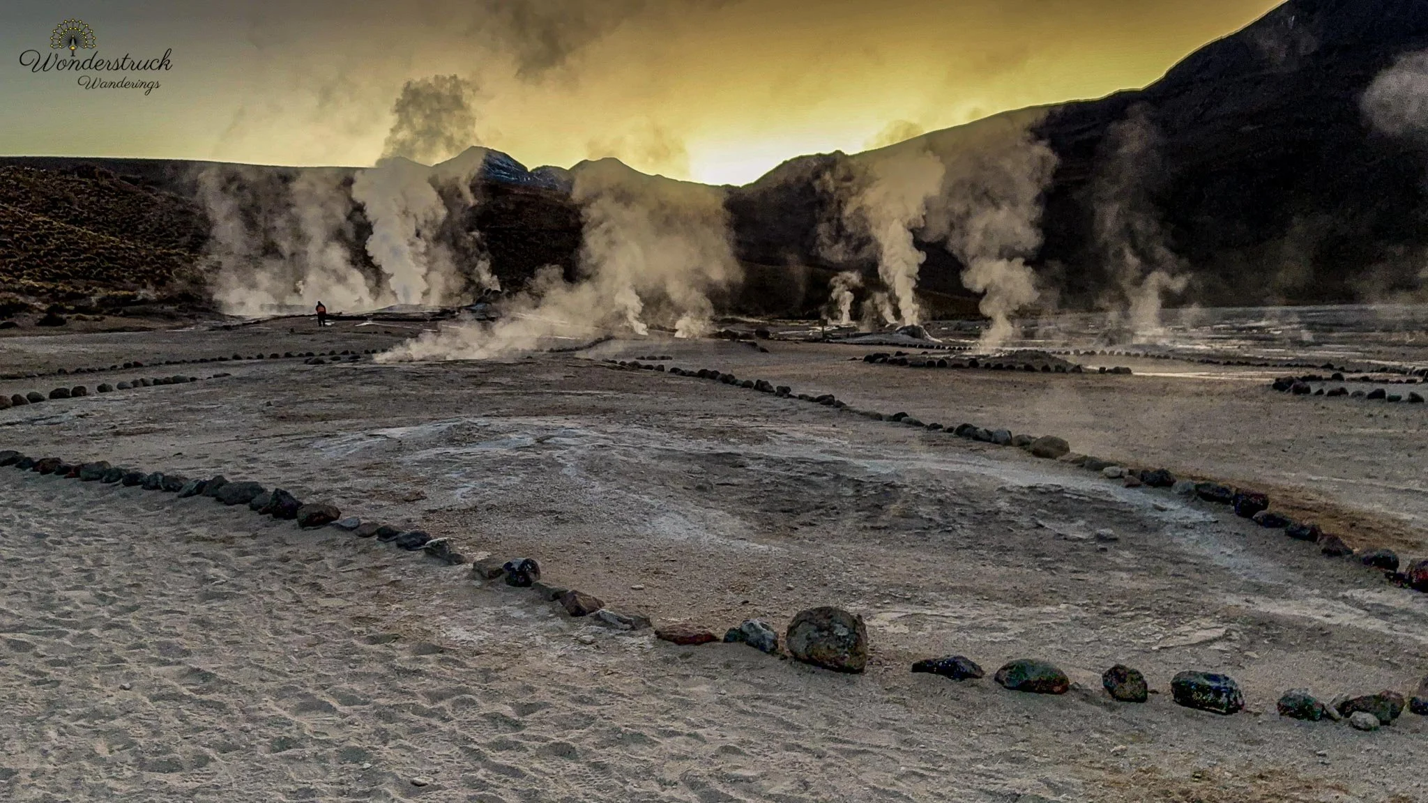
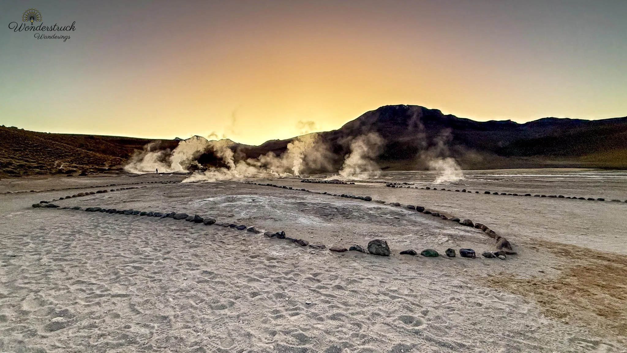
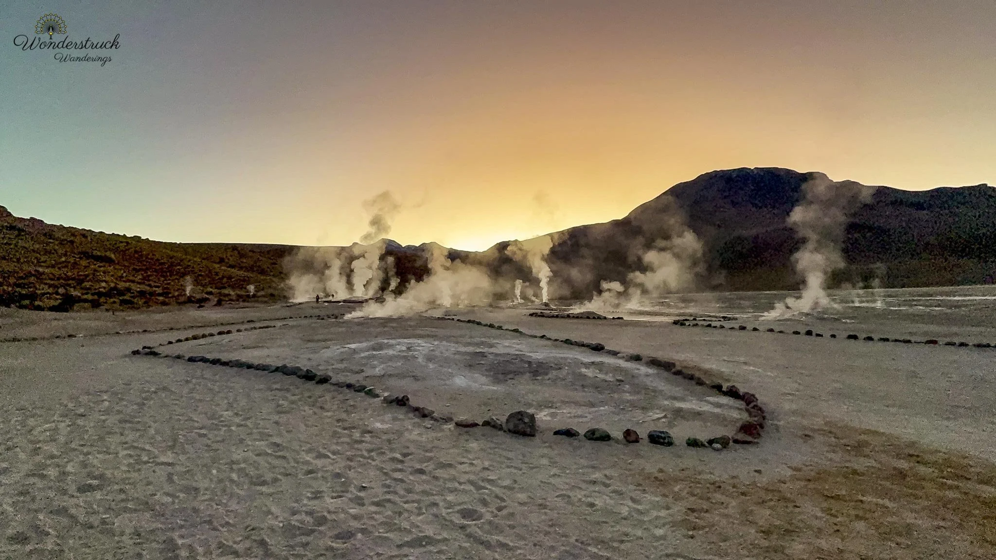
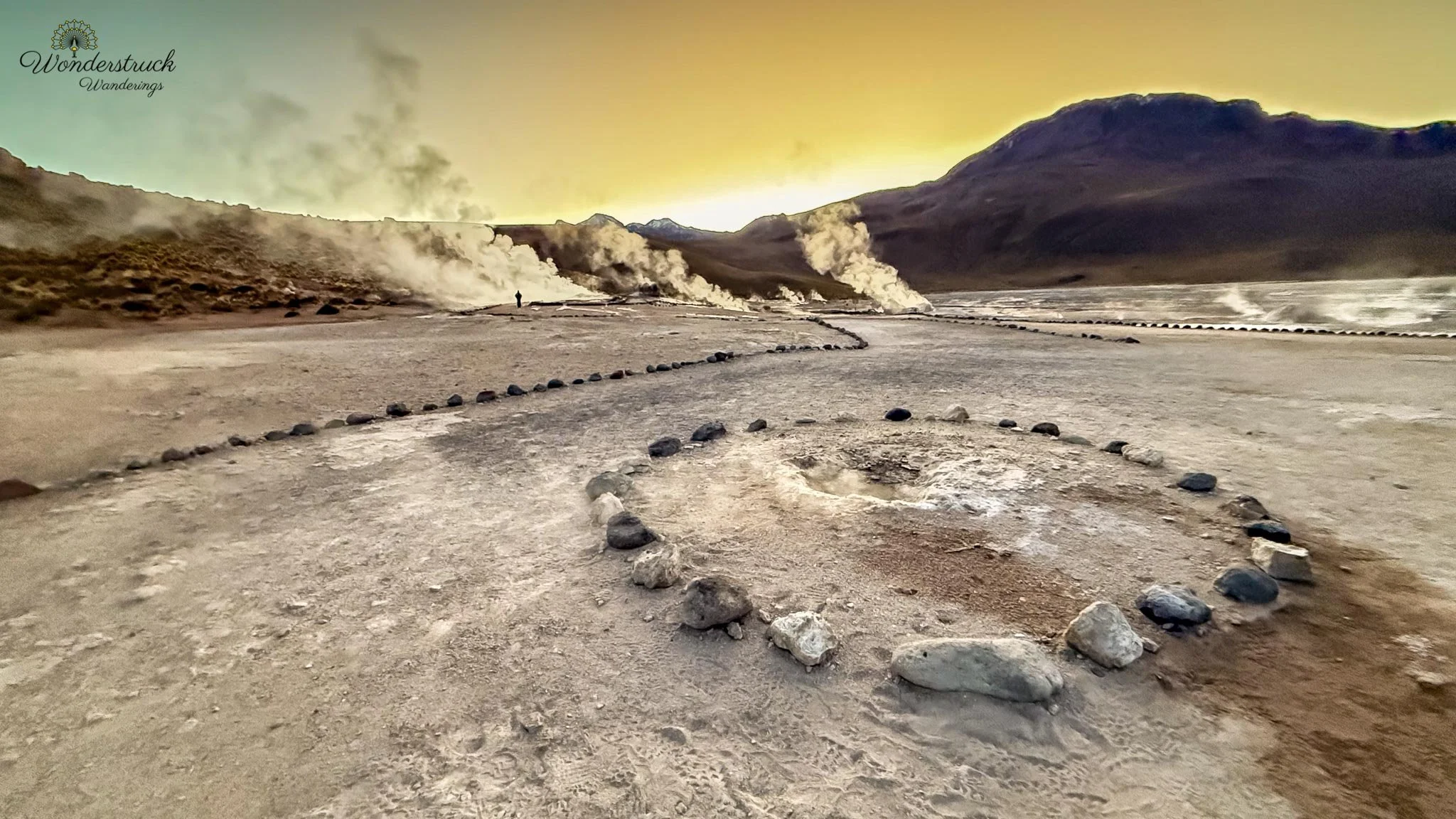
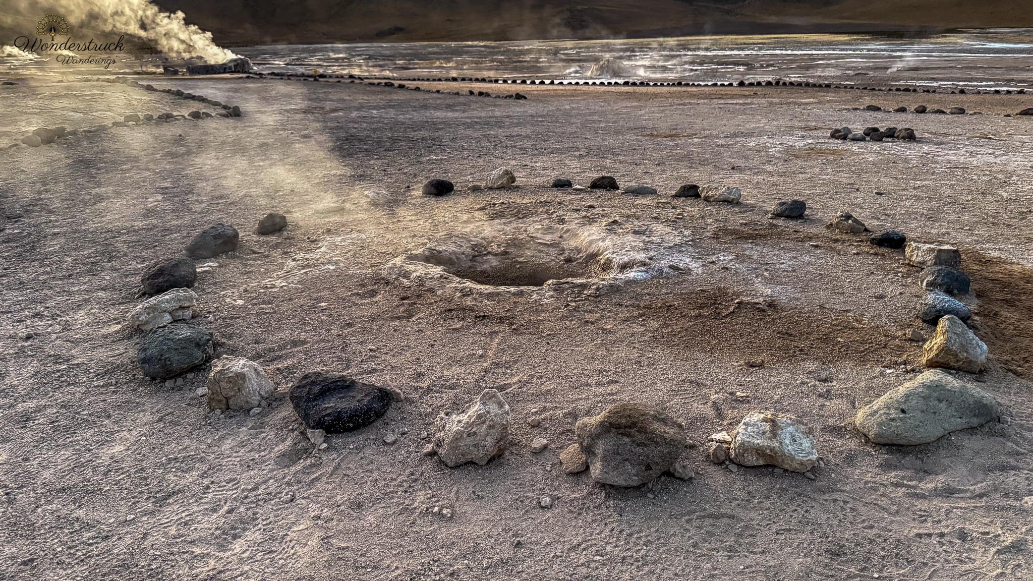
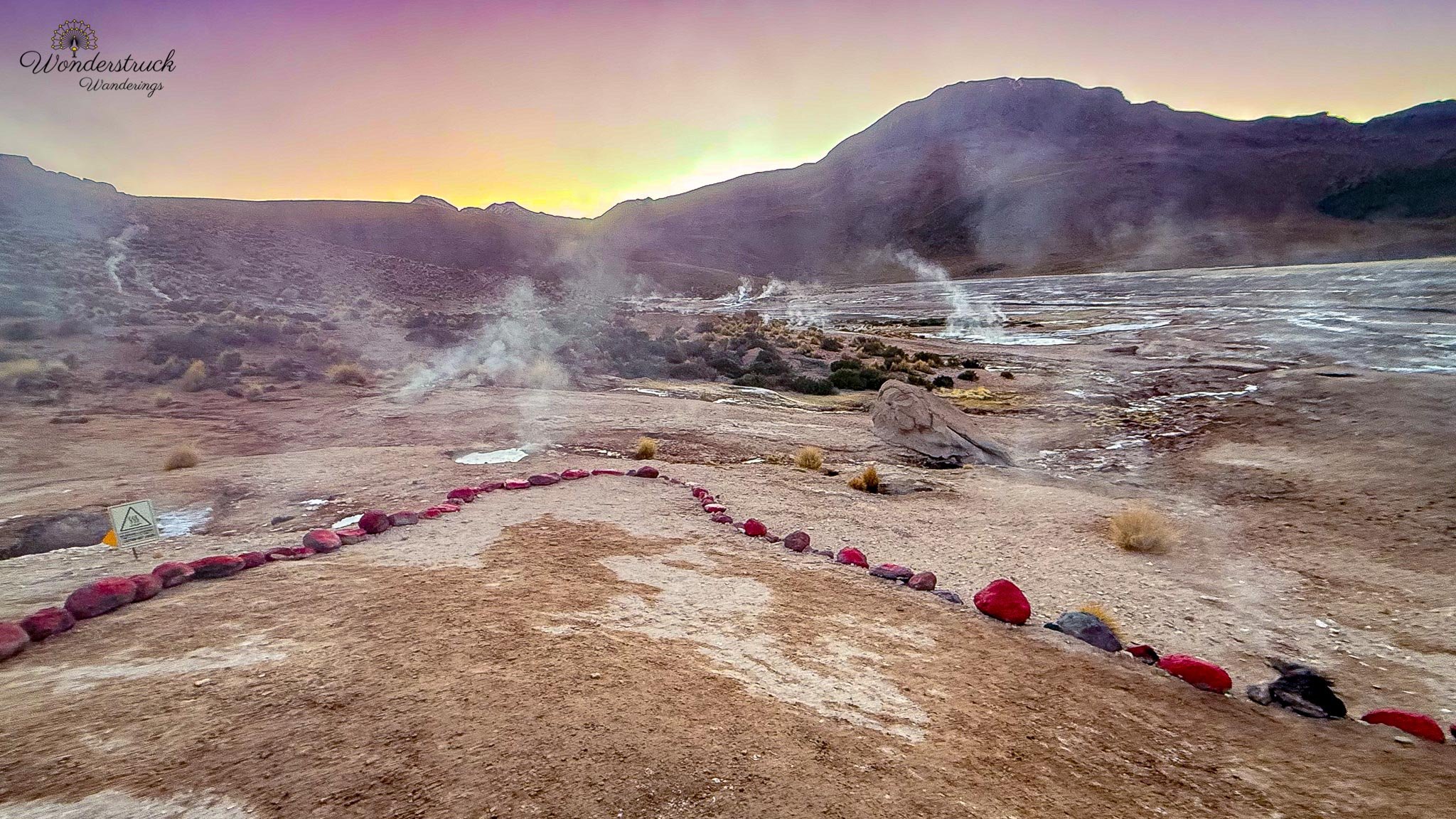
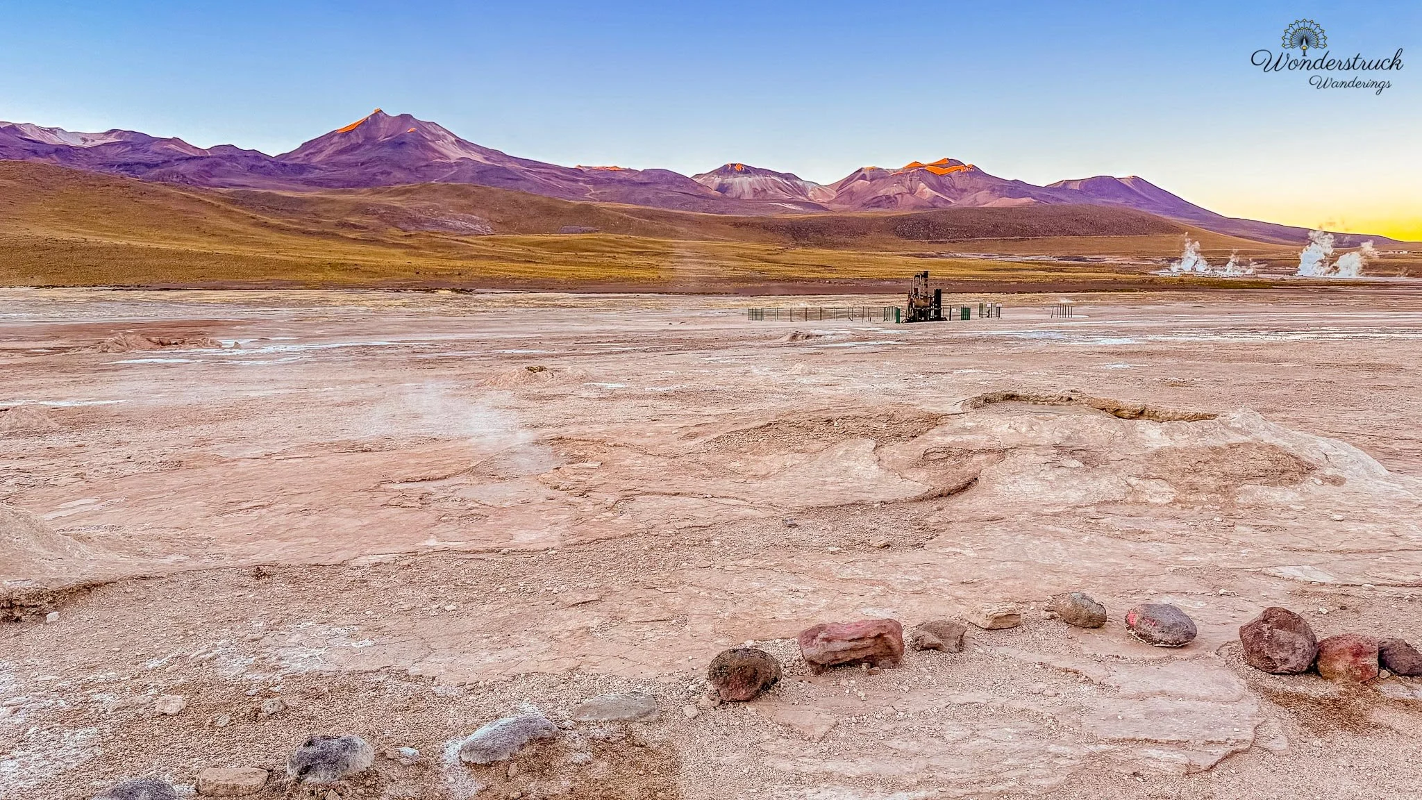
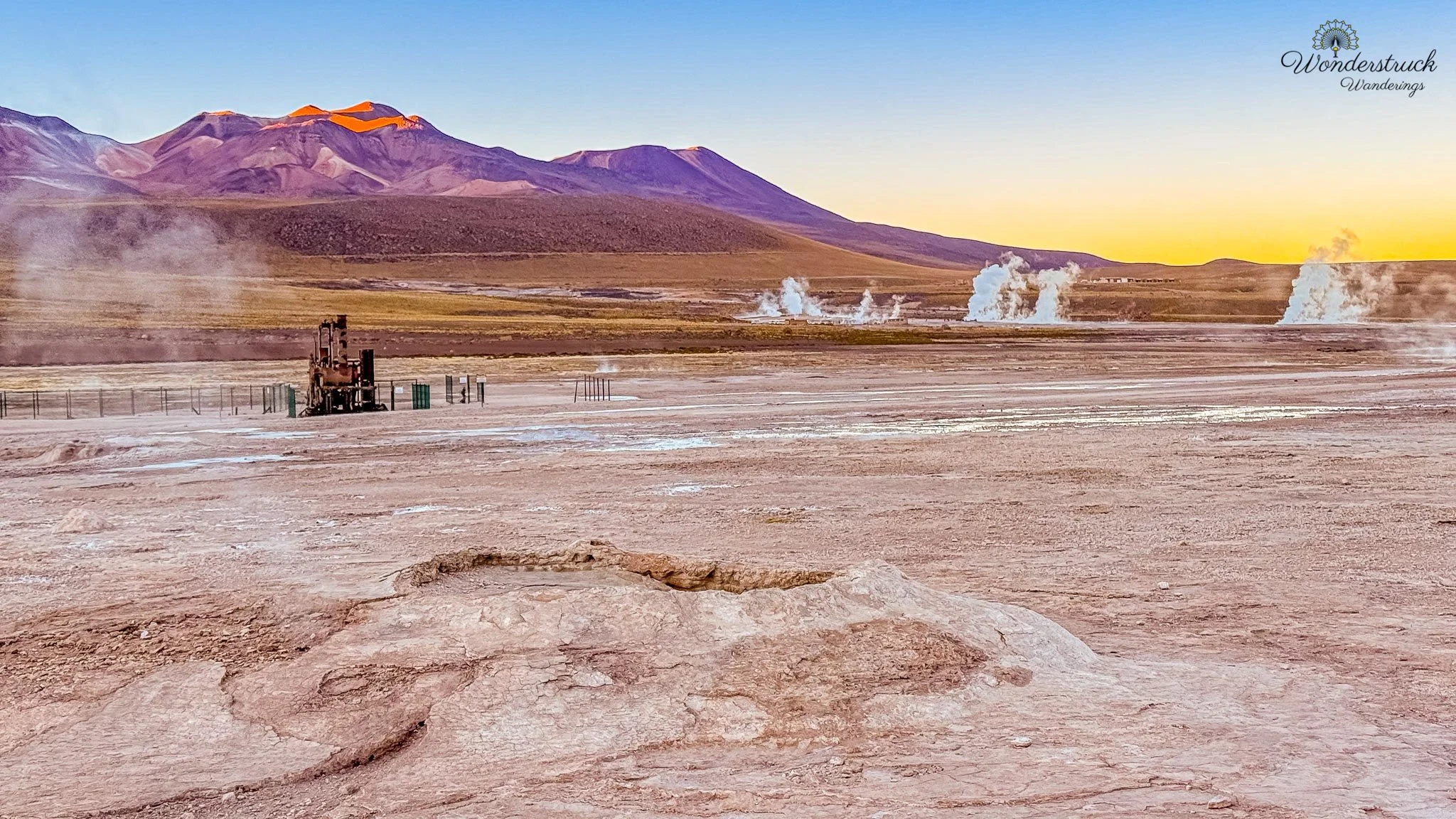
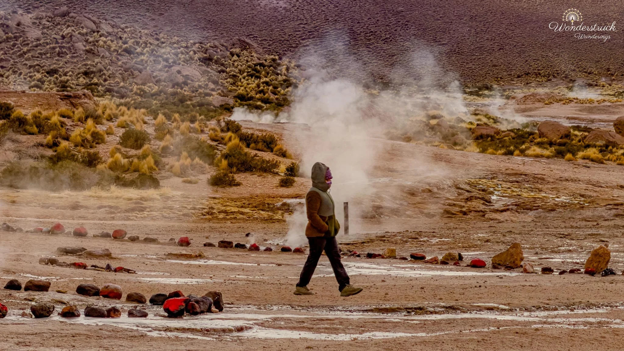
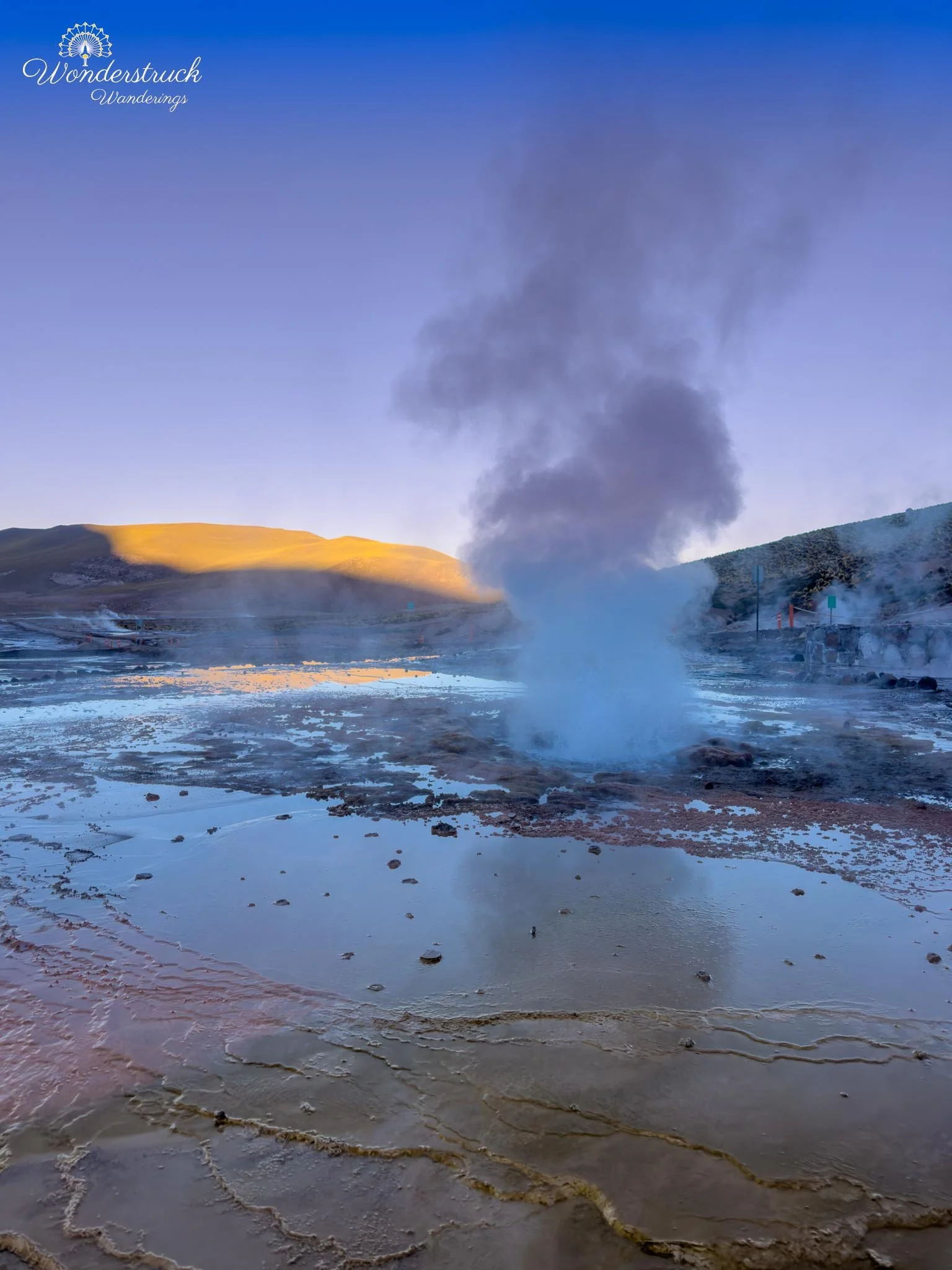
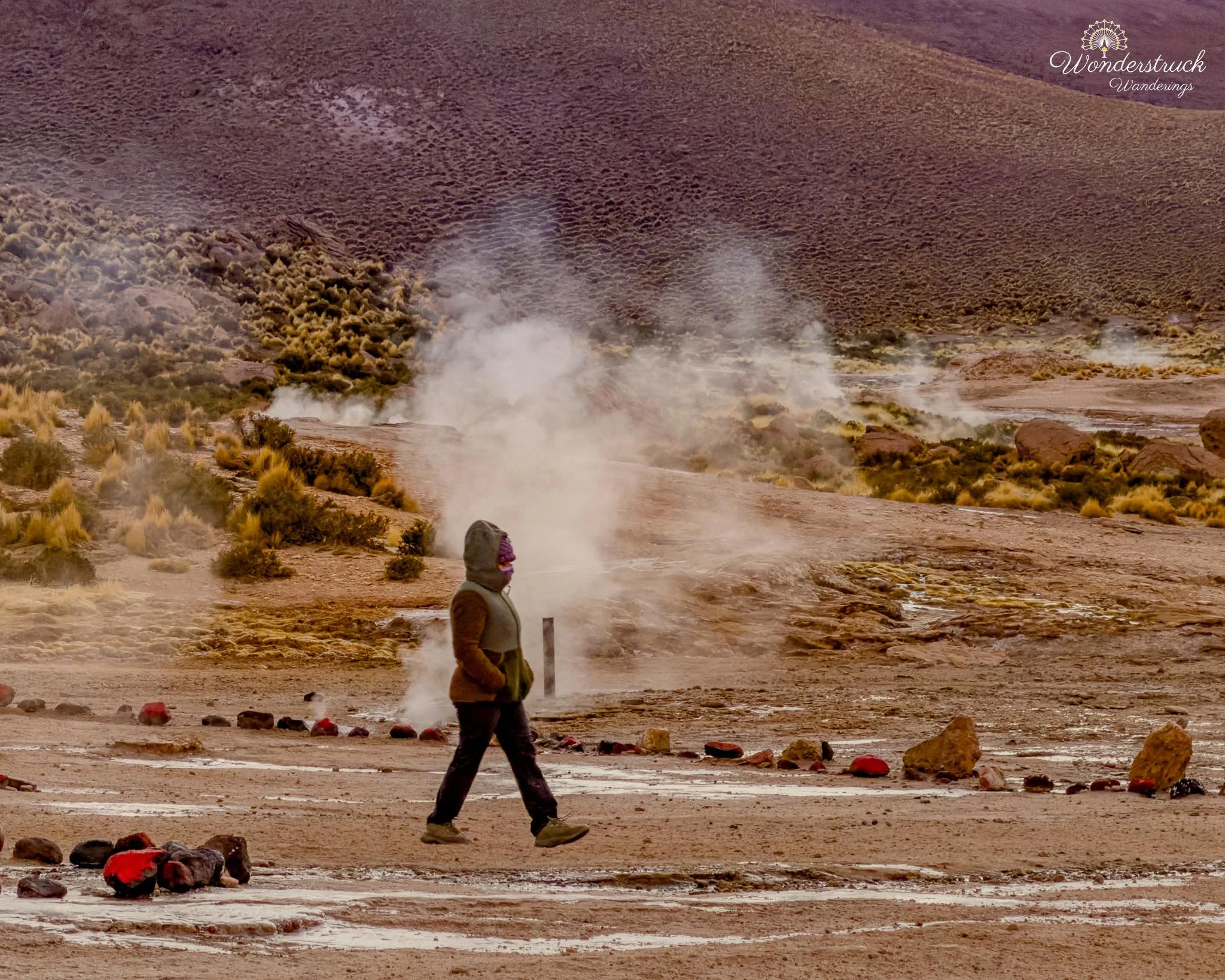
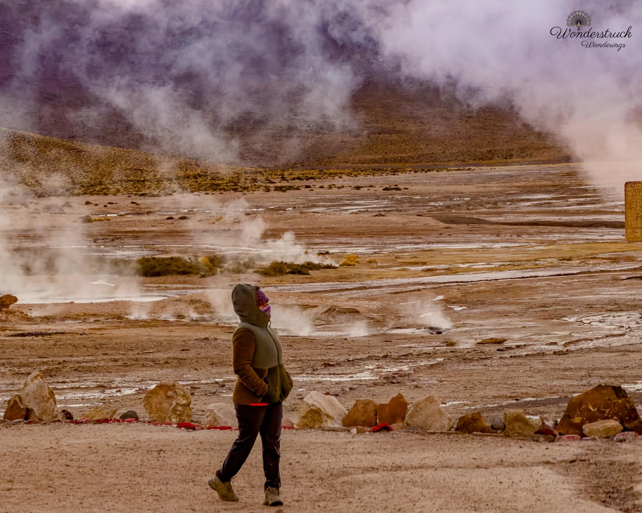
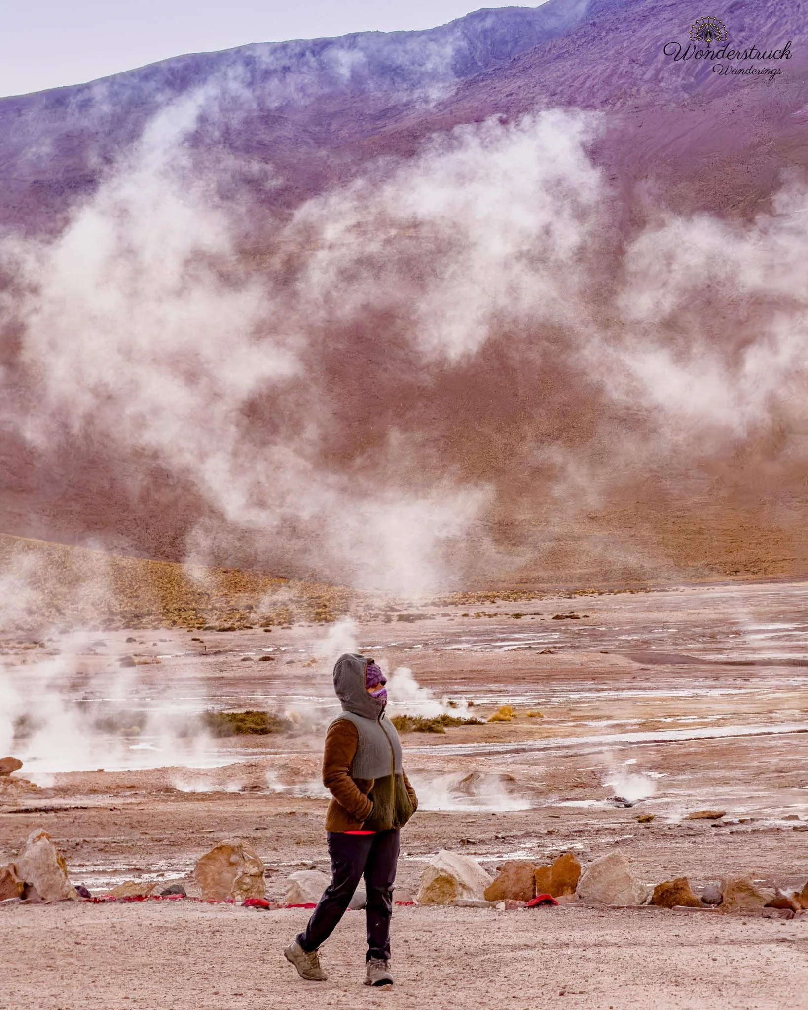
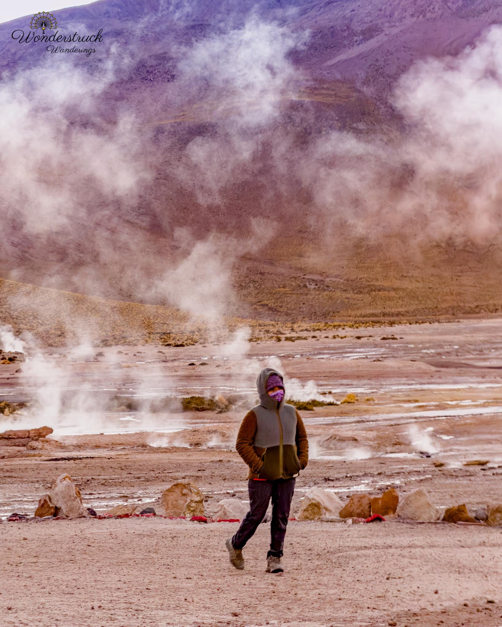
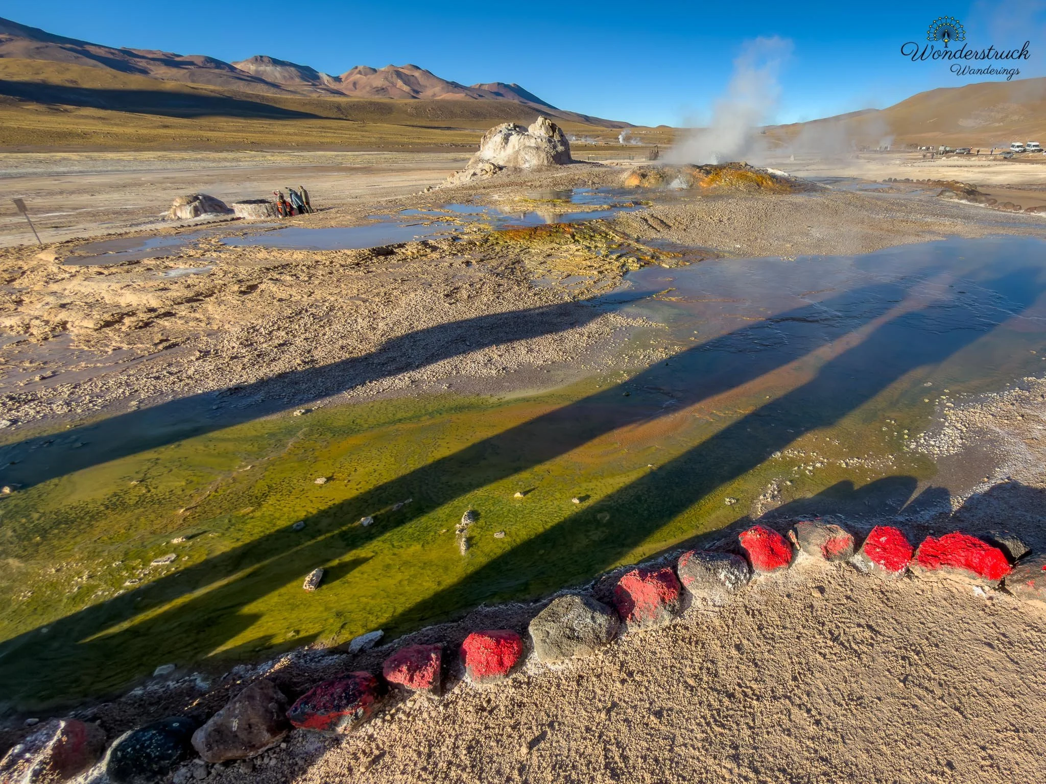
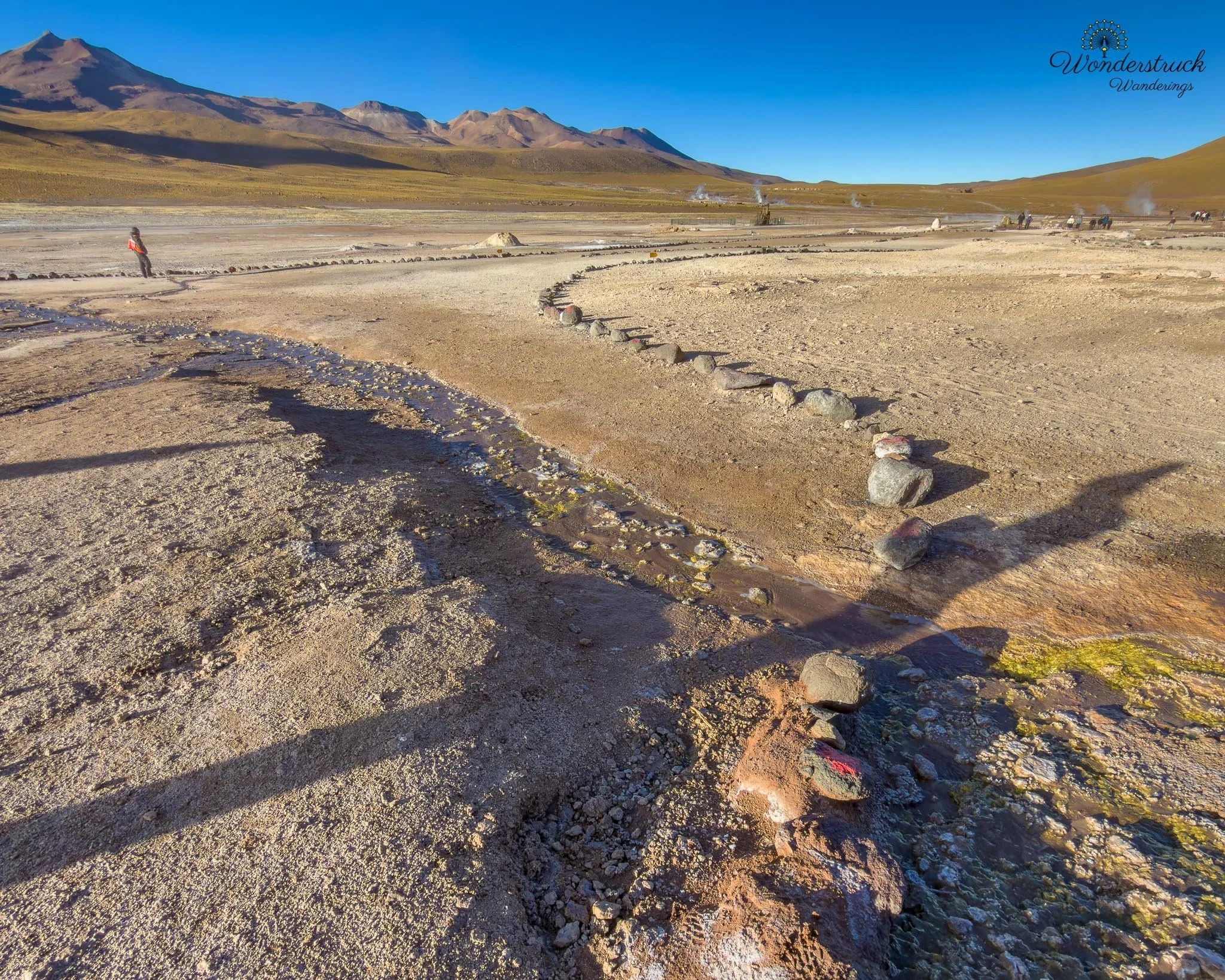
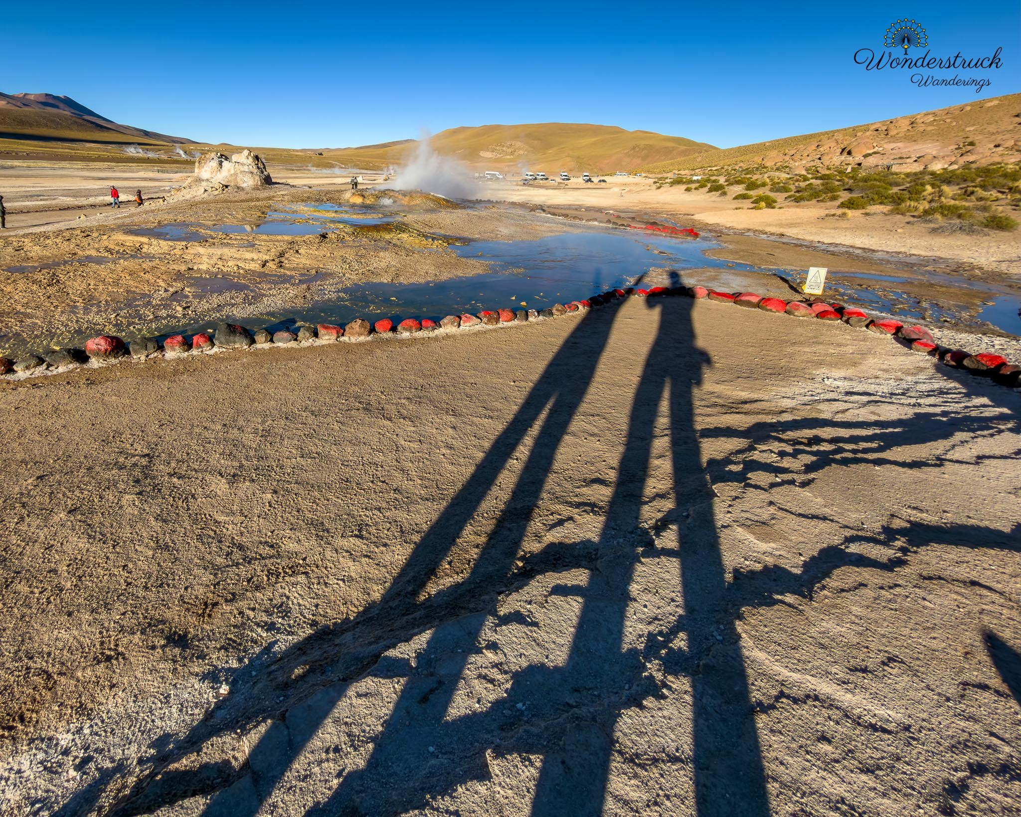
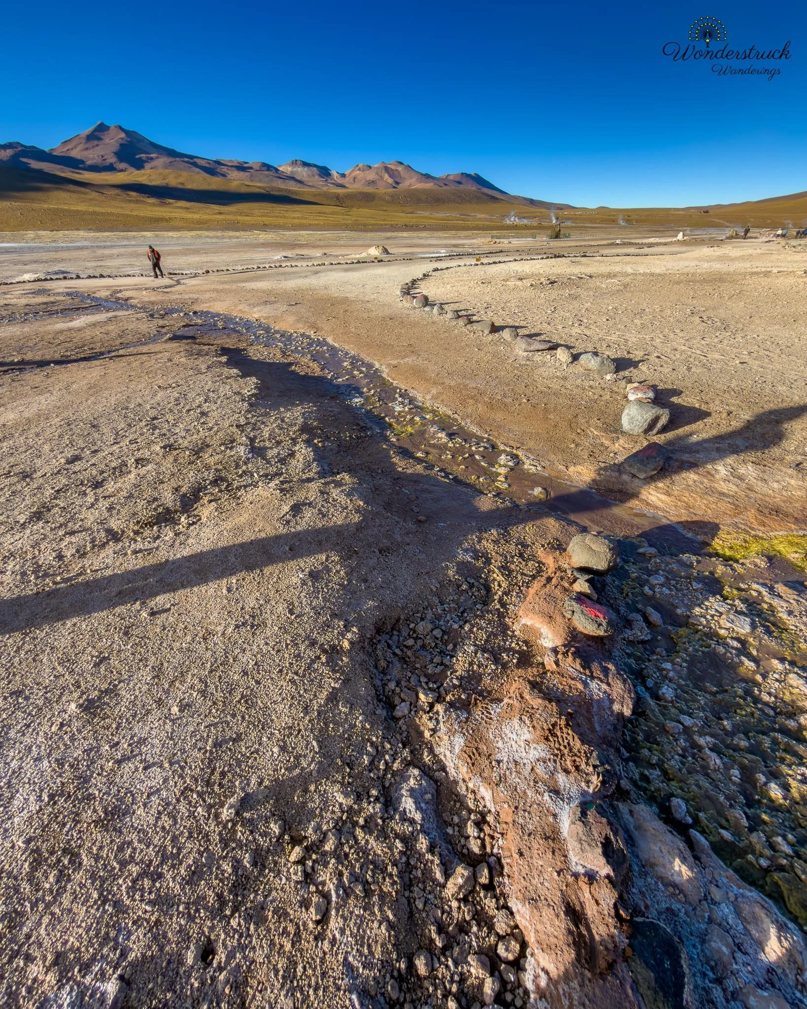
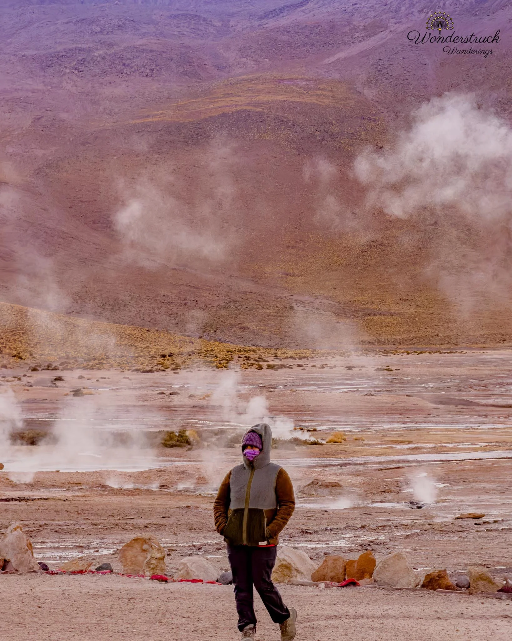
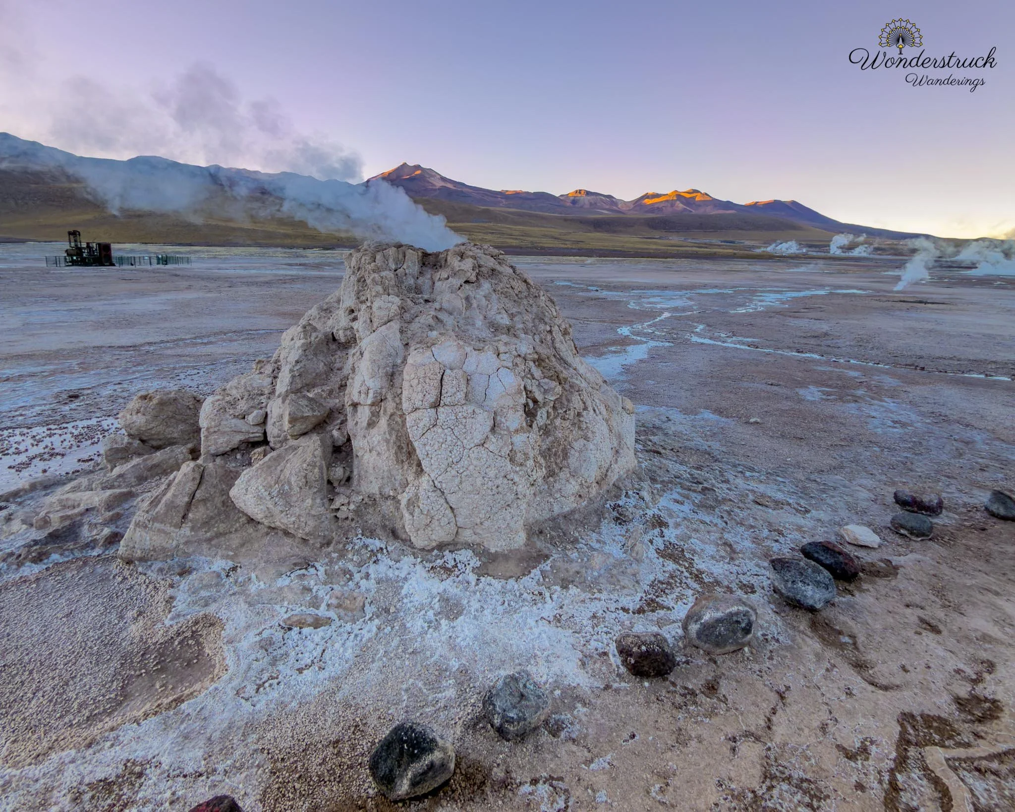
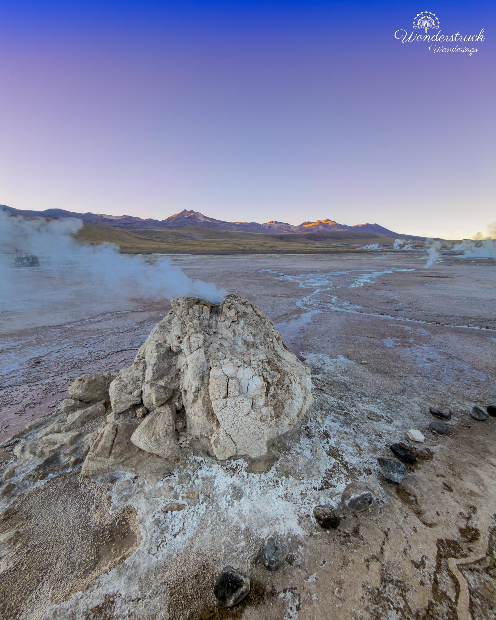
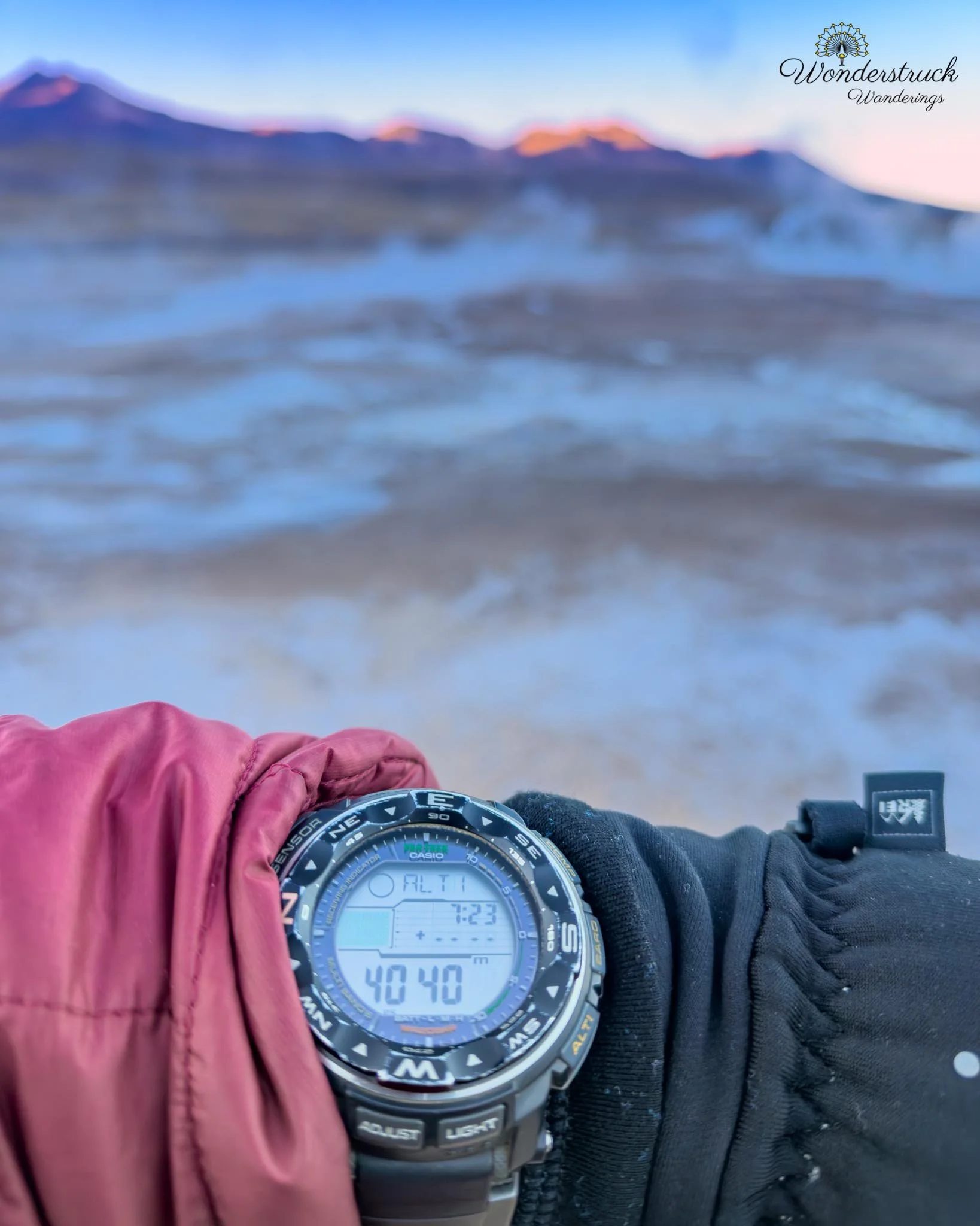
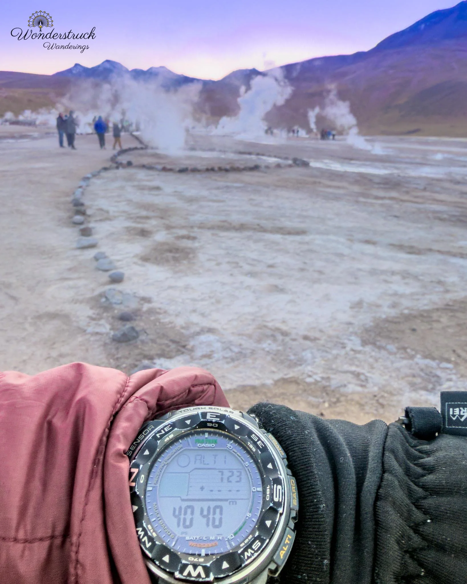
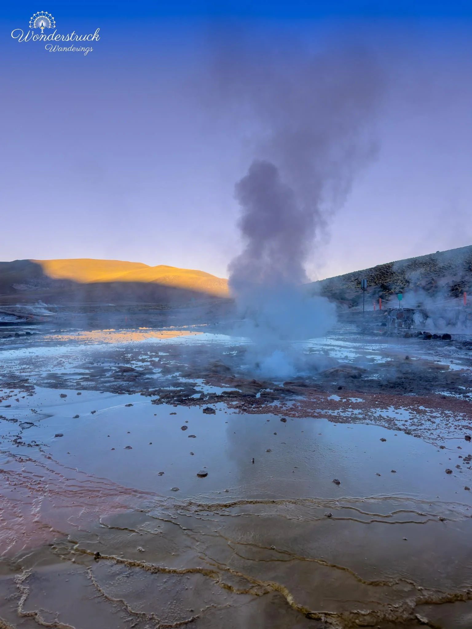
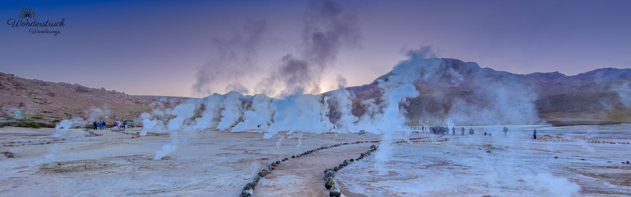
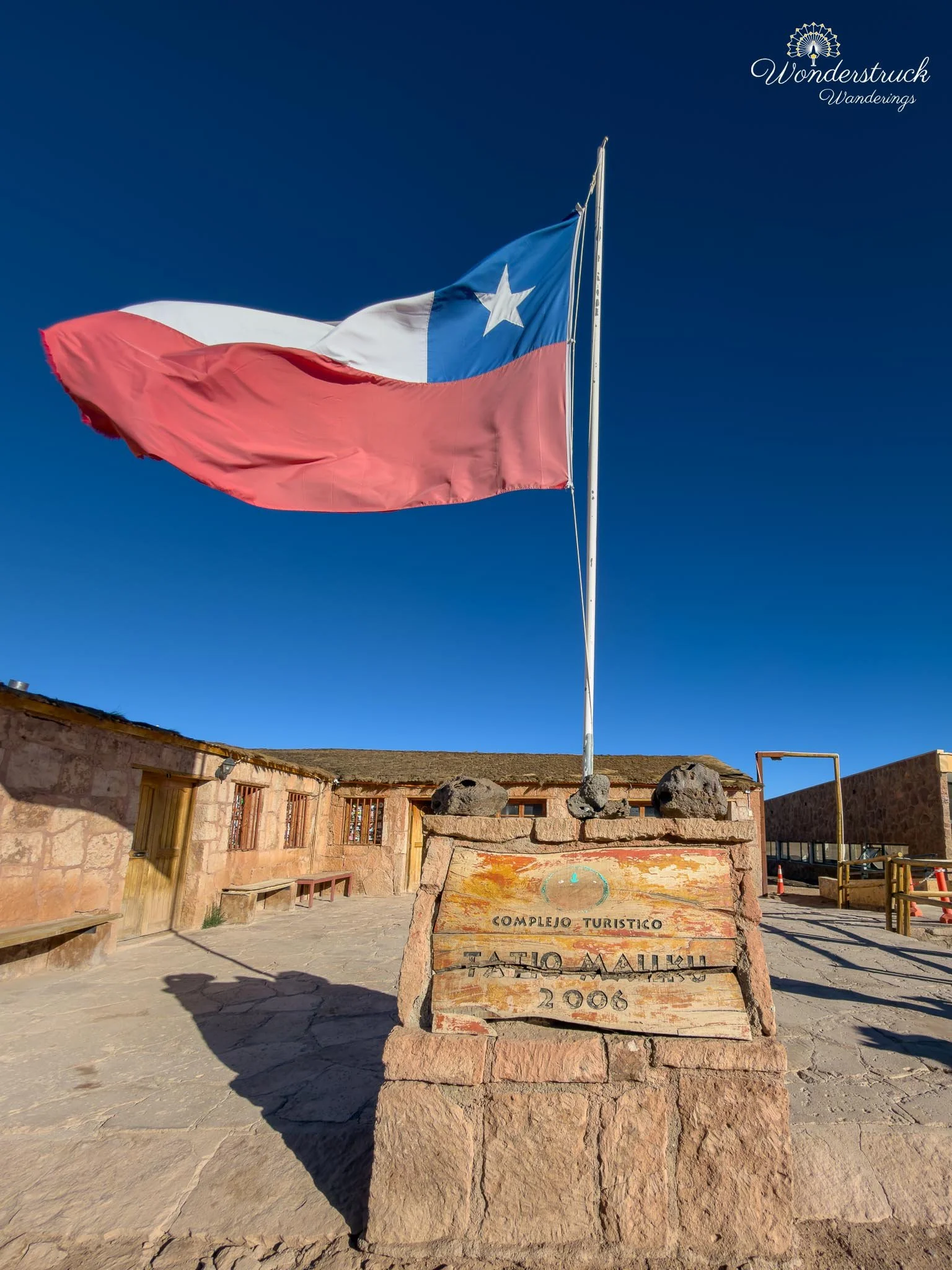
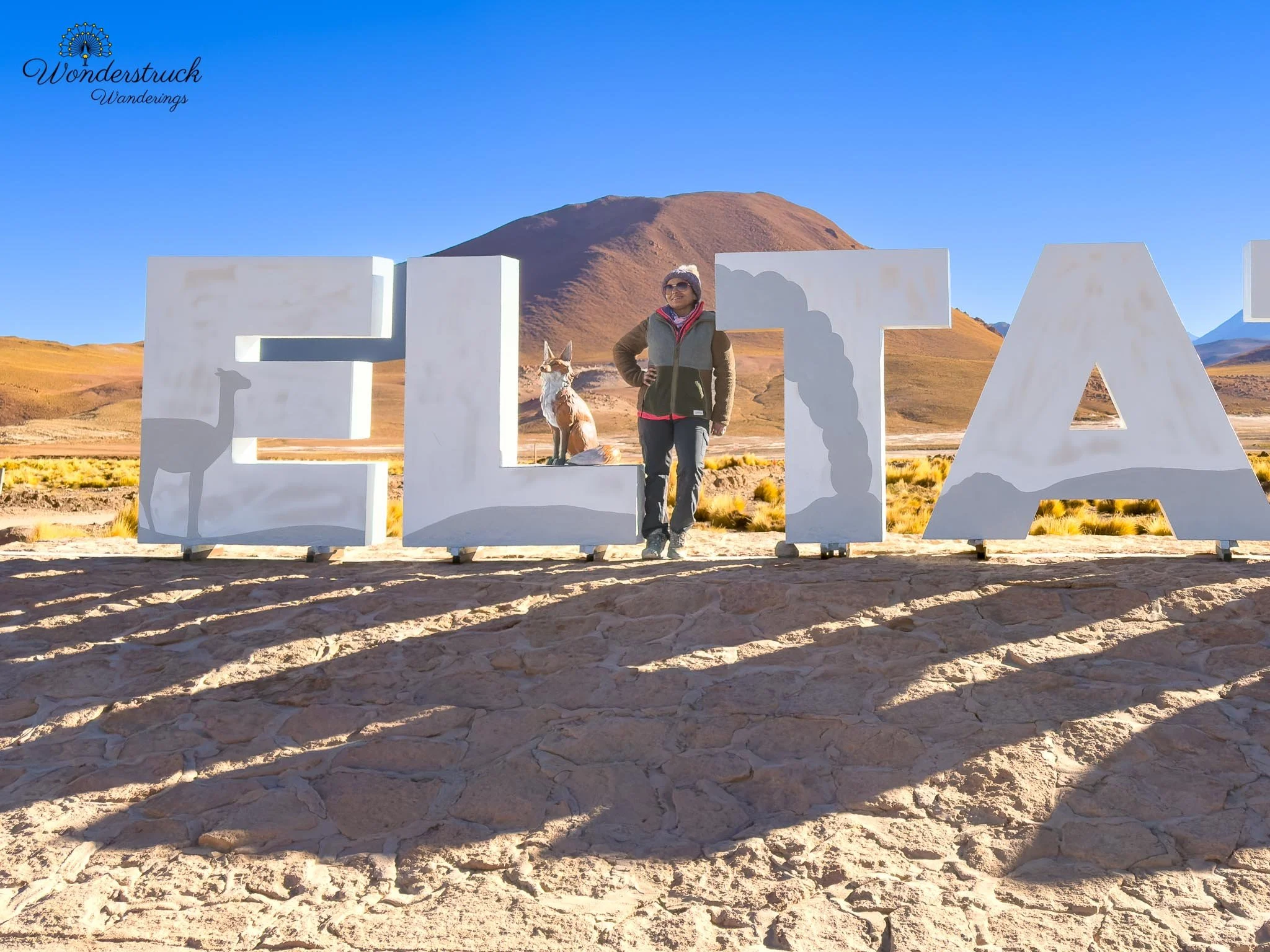
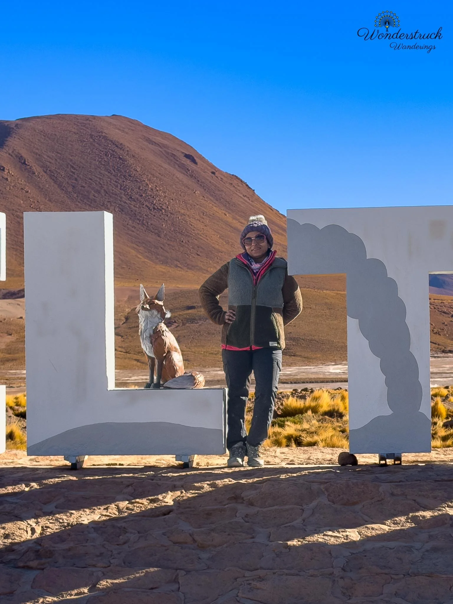
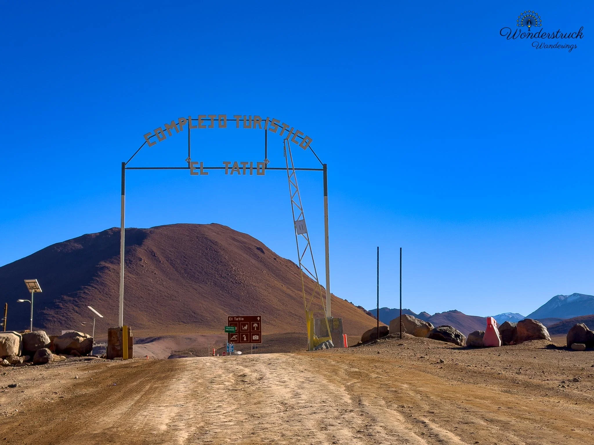
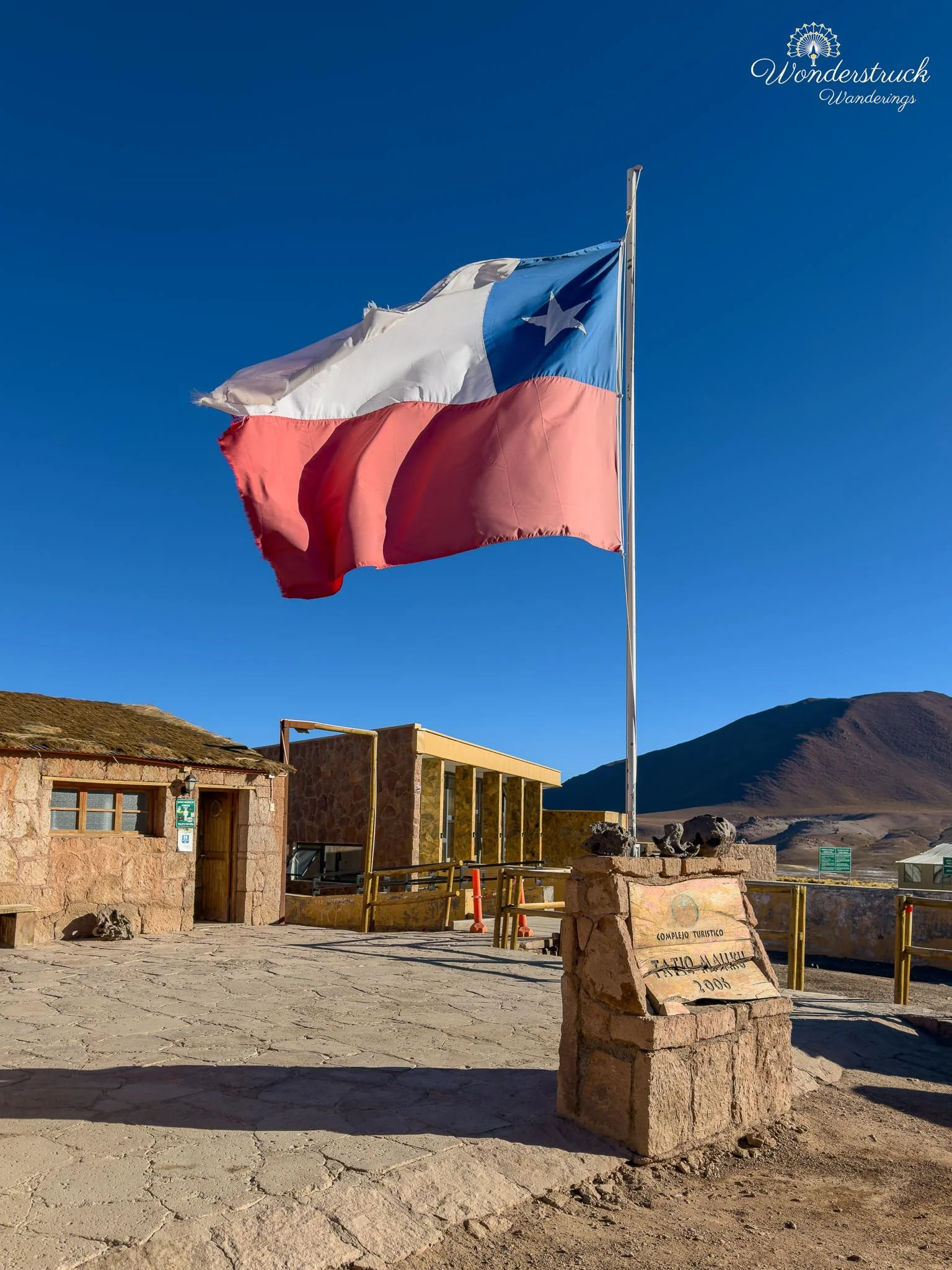
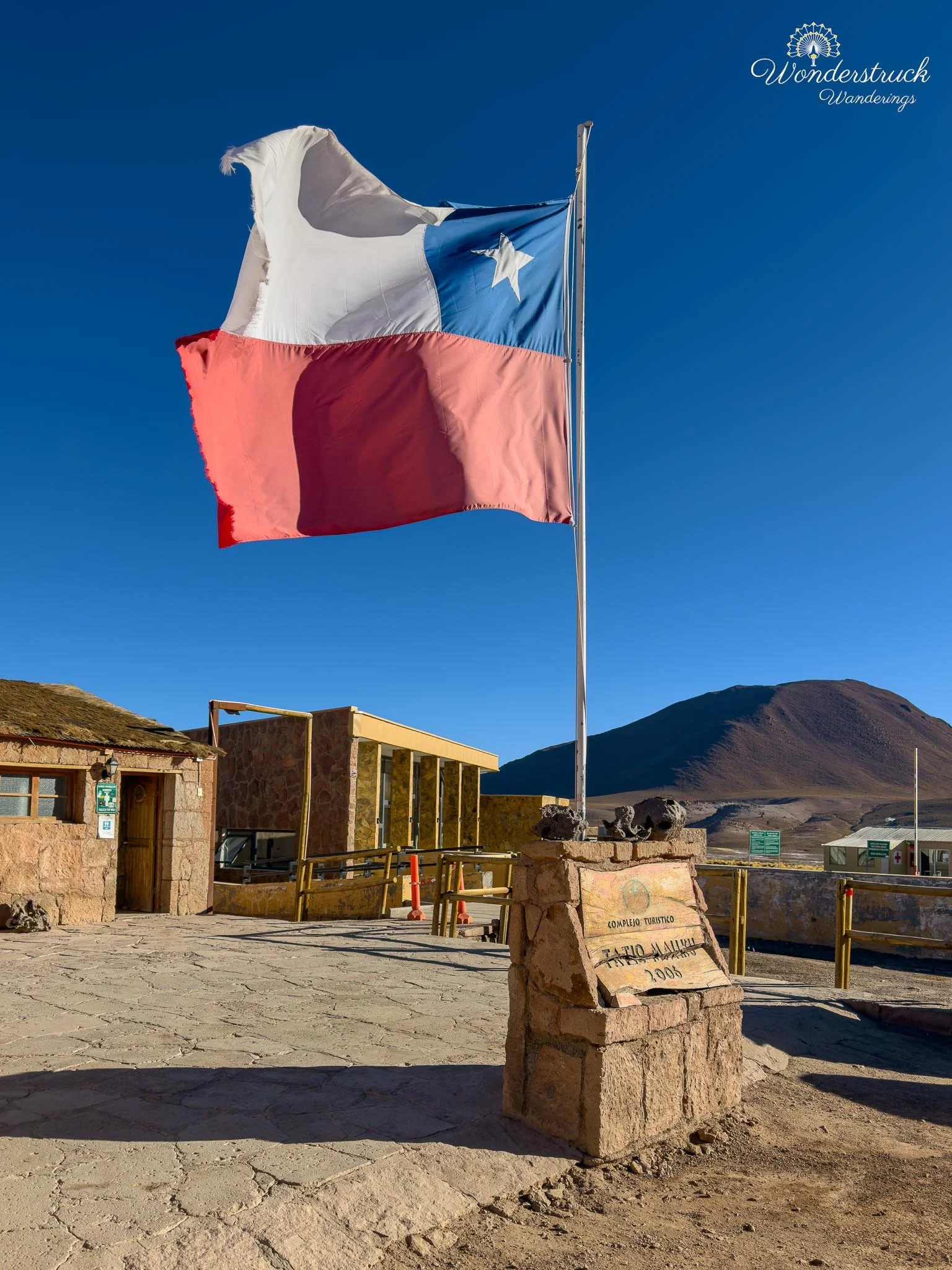
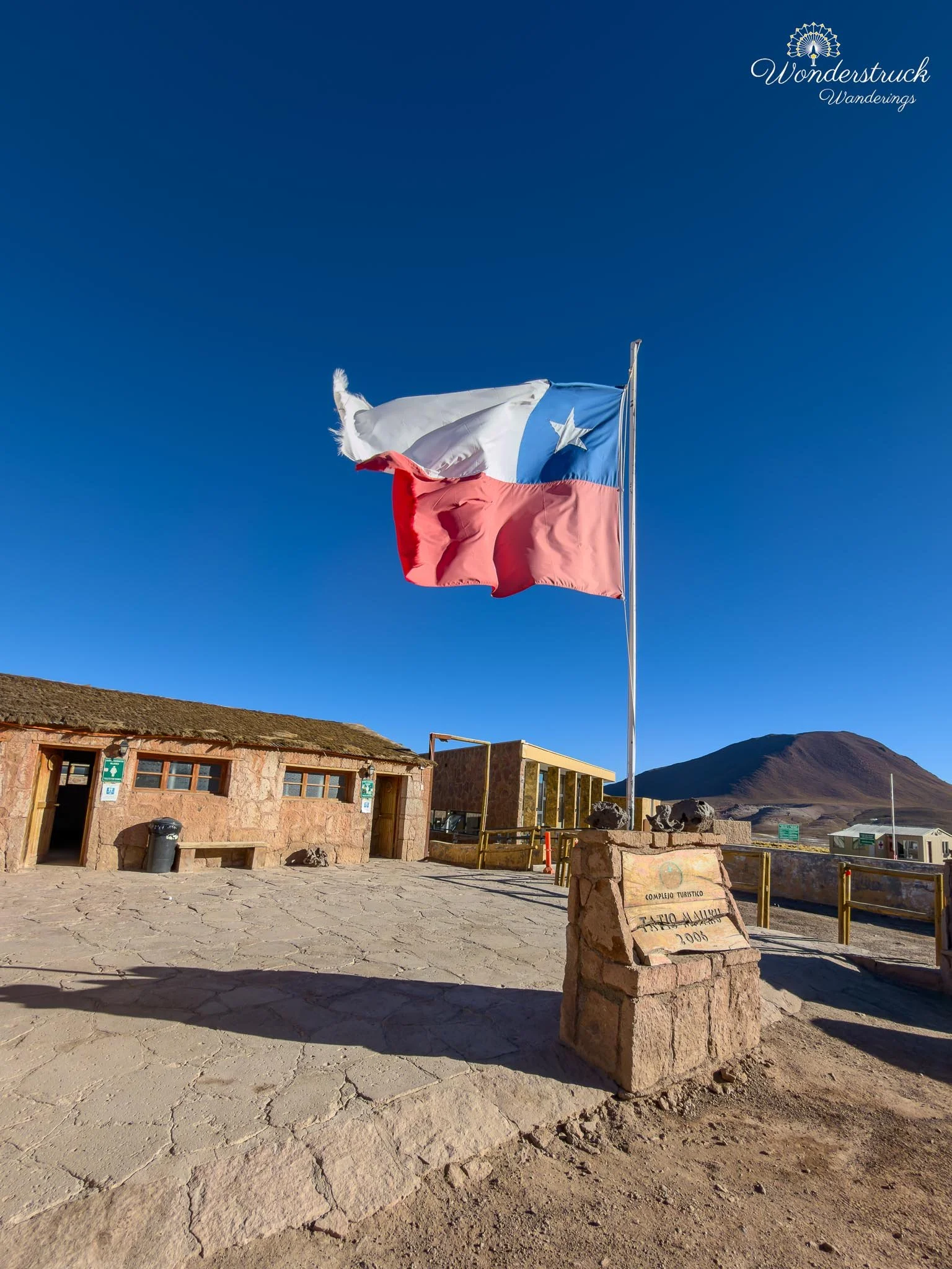
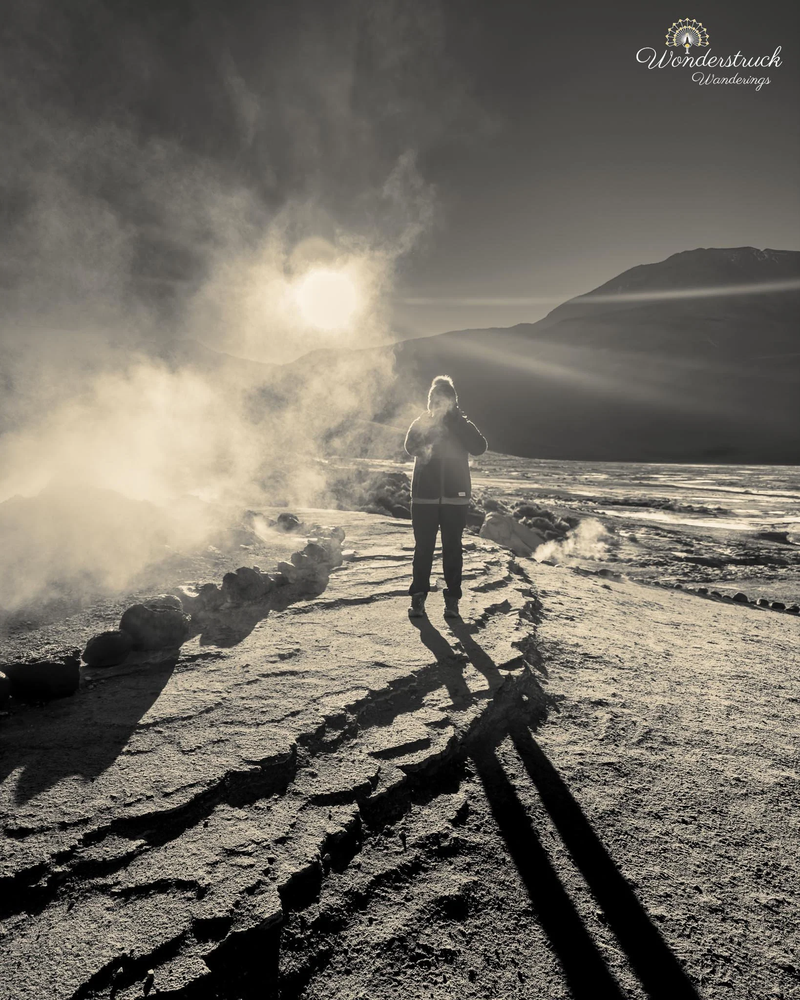
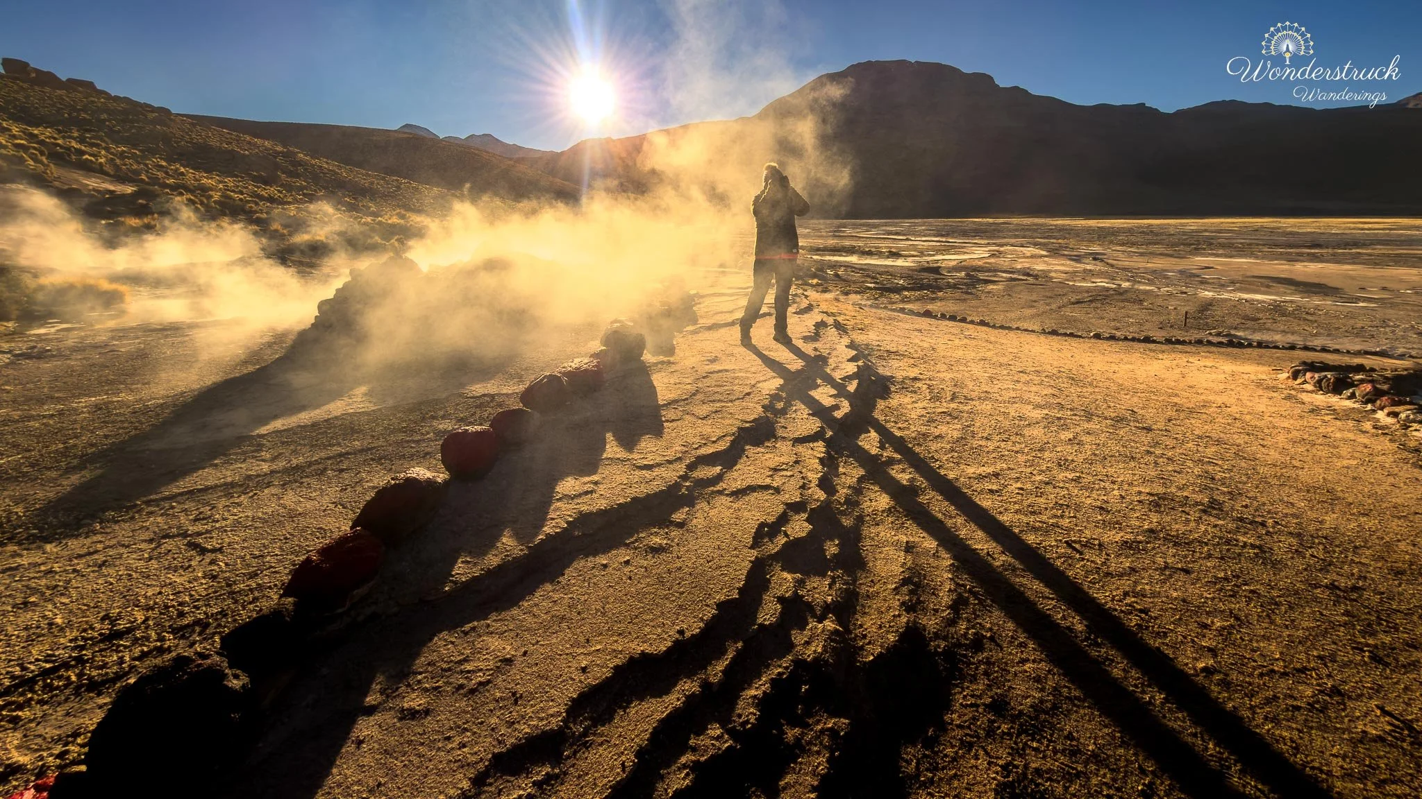
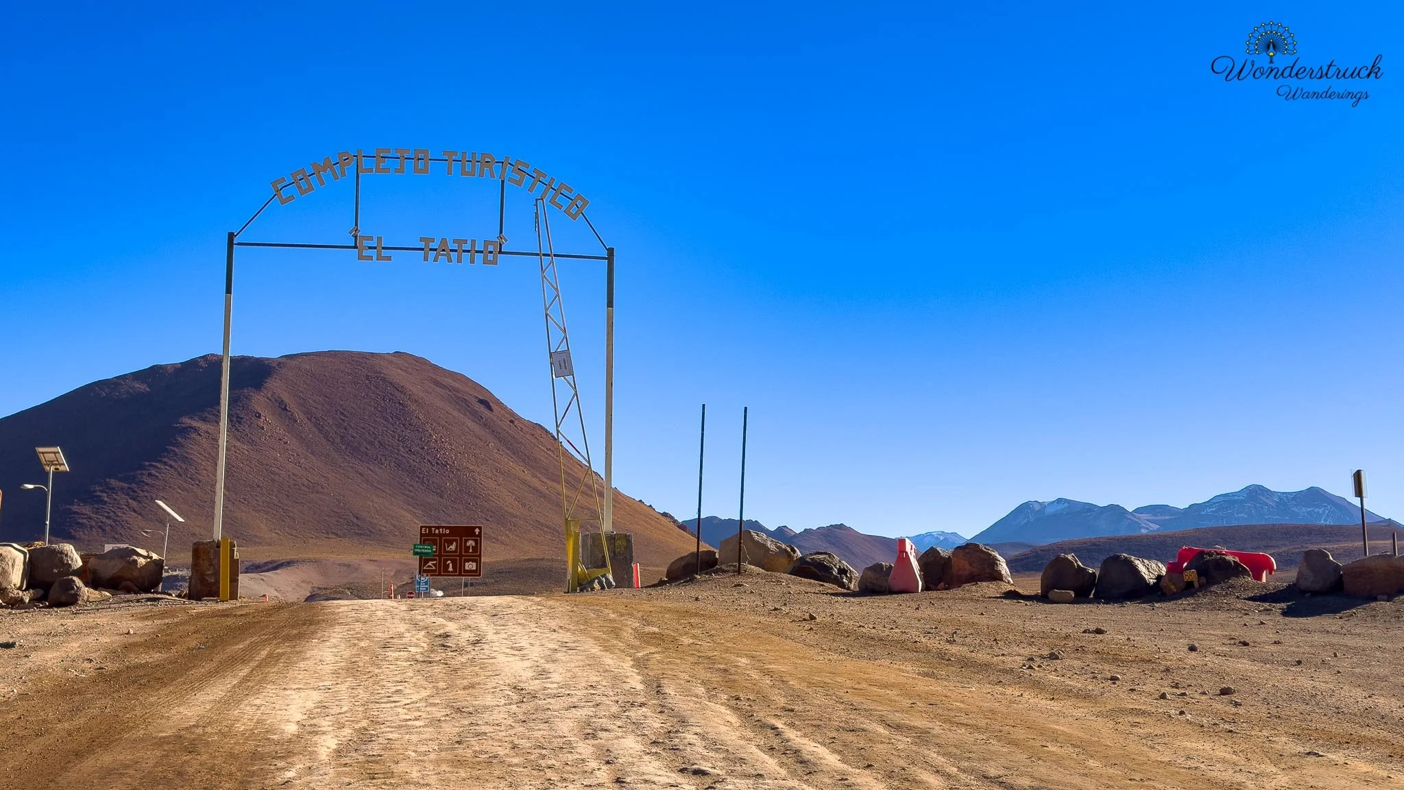
When we reached the El Tatio entrance, the main gate was still closed. There were already three cars ahead of us, so we waited in the cold for about ten minutes before someone arrived and opened the door. Tickets are purchased on site at the gate, and the entrance area has clean restrooms, which are worth using before heading into the geothermal field. At that altitude, with the cold air and the early-morning coffee working together, you do not want to ignore a restroom stop. There are also restrooms later inside the park near the river basin area, but the entrance facilities were the easiest first stop. We had read a lot about El Tatio before arriving, but once we were actually there in the dark, it was harder to understand the layout. We asked the woman at the gate where we should start, and she told us to be at the Upper Basin around 7:30 a.m. At the time, that advice did not fully make sense. Everything was still dark, steam was rising in different directions, and we had no real sense of where the best light would land. But later, we realized she was right. We began in the Upper Basin, mostly because that was where we had been directed and because the steam seemed strongest there. In the darkness, though, it was difficult to know exactly where to stand or what to prioritize. We wandered between the Upper and Middle Basin areas, trying to understand the field while watching steam rise from vents, fumaroles, boiling pools, and low mineral openings in the ground. The whole place felt otherworldly, but also slightly disorienting before sunrise. As the sky brightened, more people started arriving. Then, just as the first sunlight began touching the mountain tips, the tour buses came in one after another. At first, it felt like the crowds might ruin the atmosphere, but eventually we decided to embrace it rather than fight it. In a place like El Tatio, the buses, people, hats, gloves, and silhouettes all become part of the scene. When they drifted through the steam, they actually worked as foreground elements in some of the photographs, giving scale to the geysers and making the cold morning feel more alive.
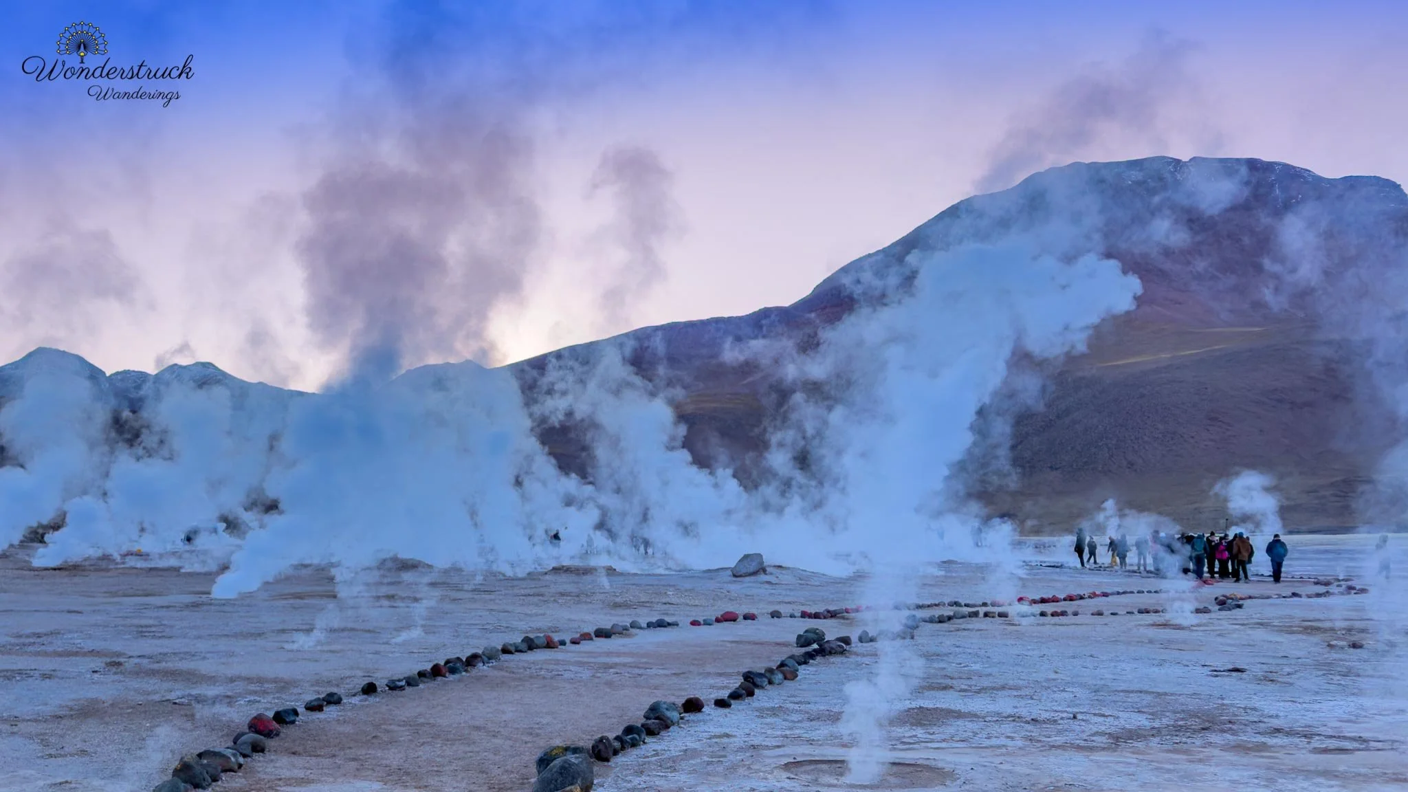
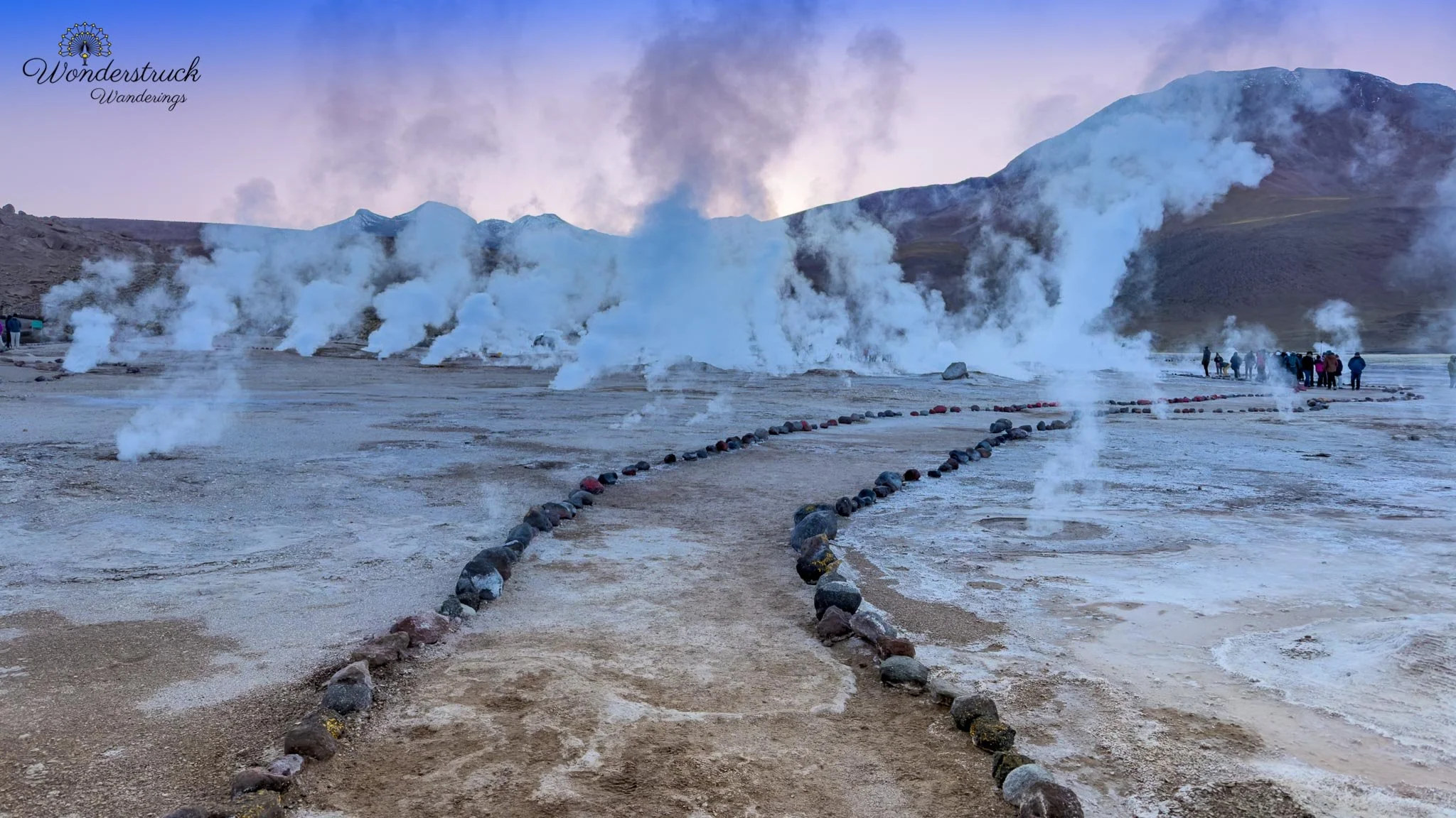
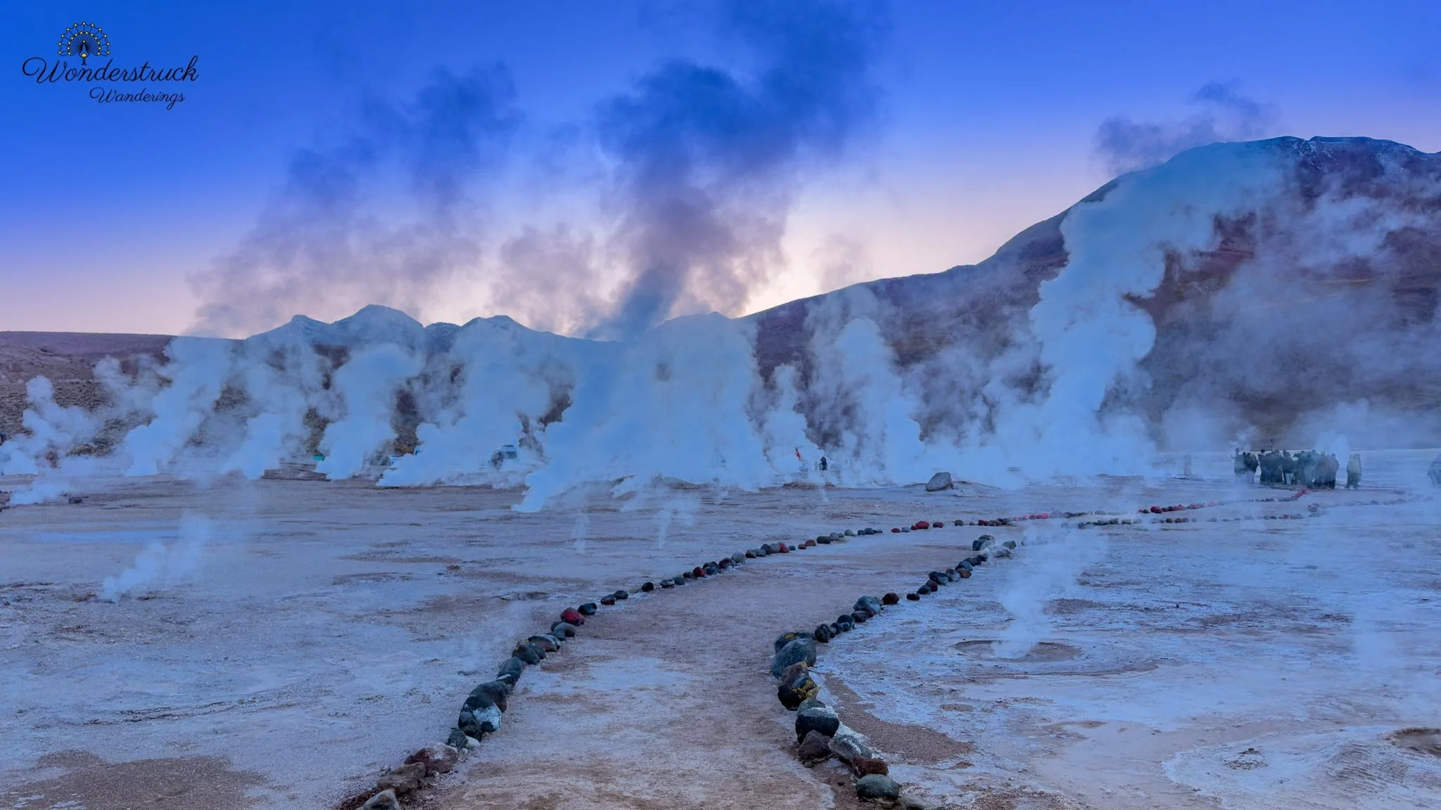
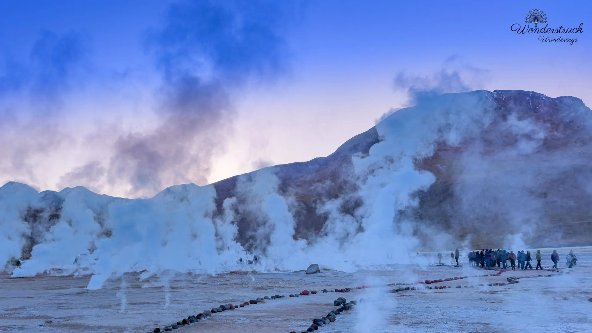
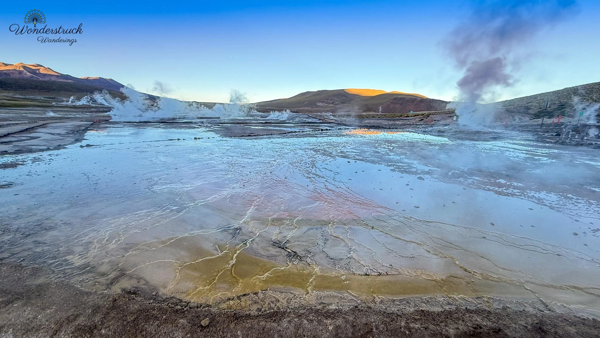
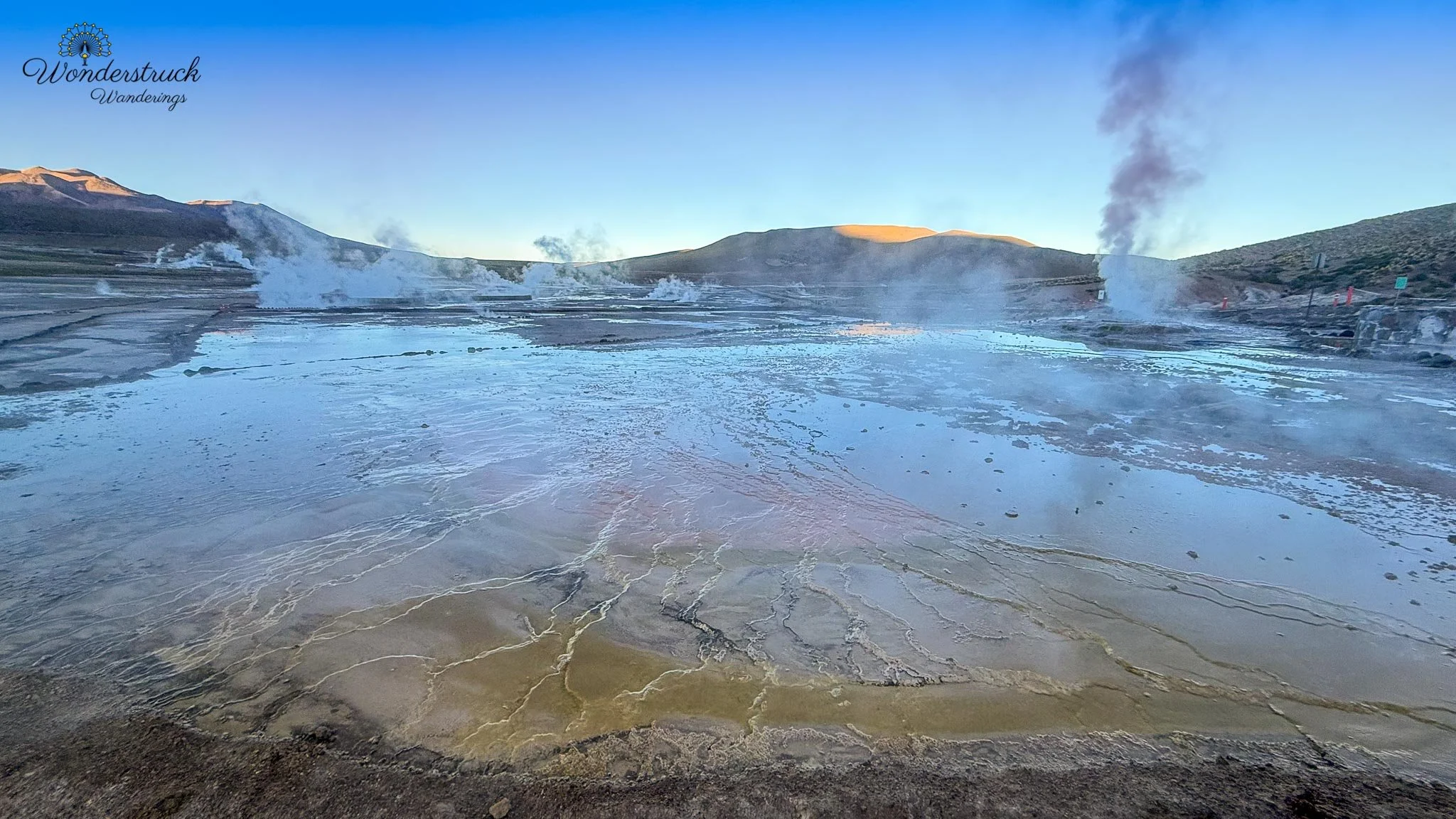
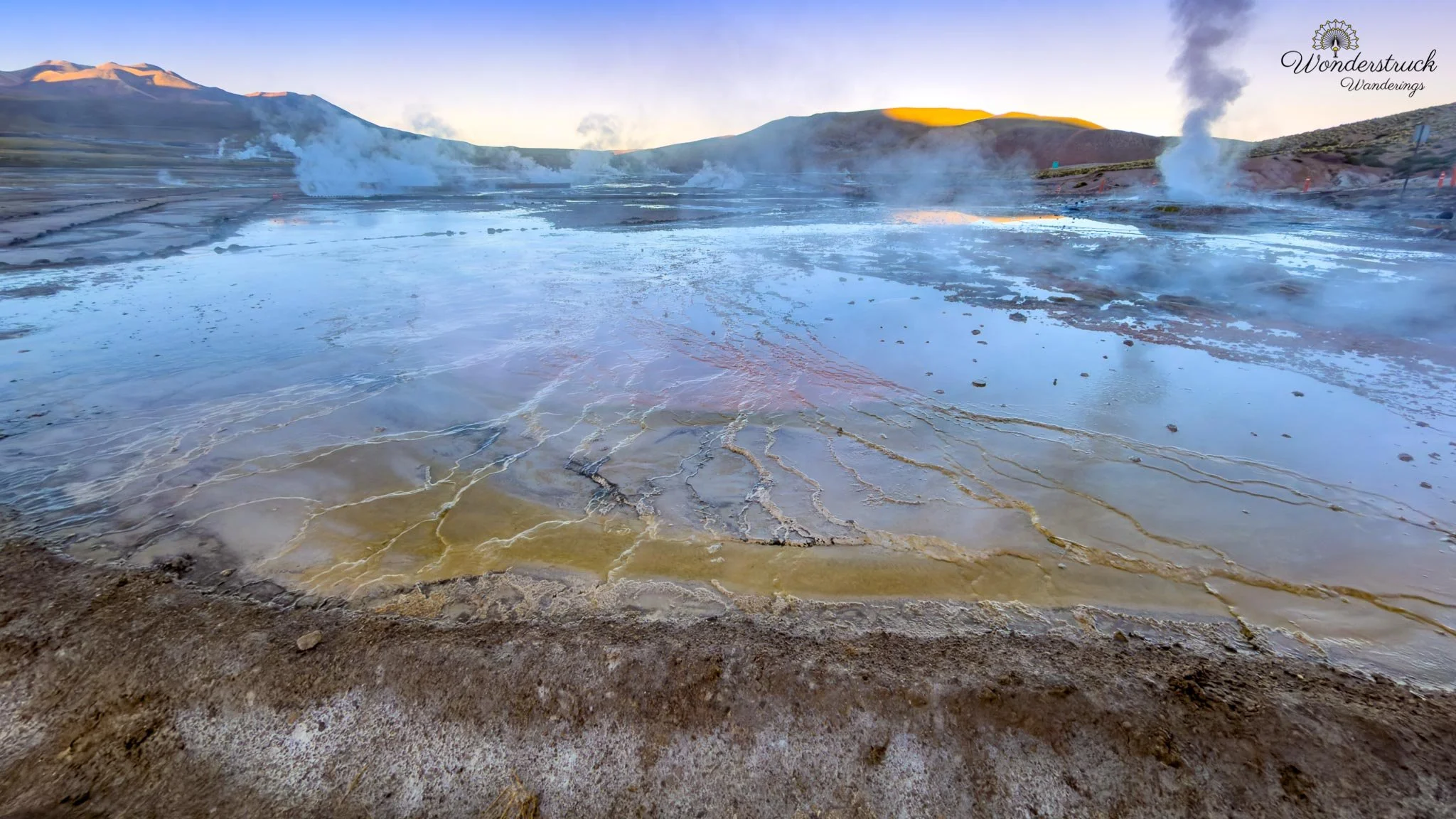
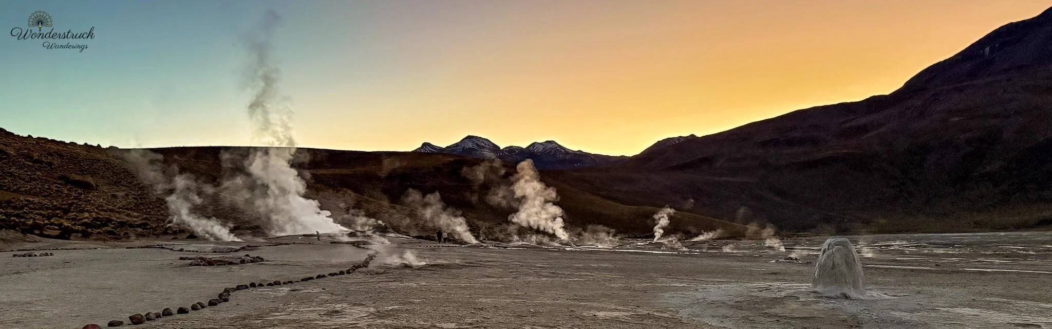
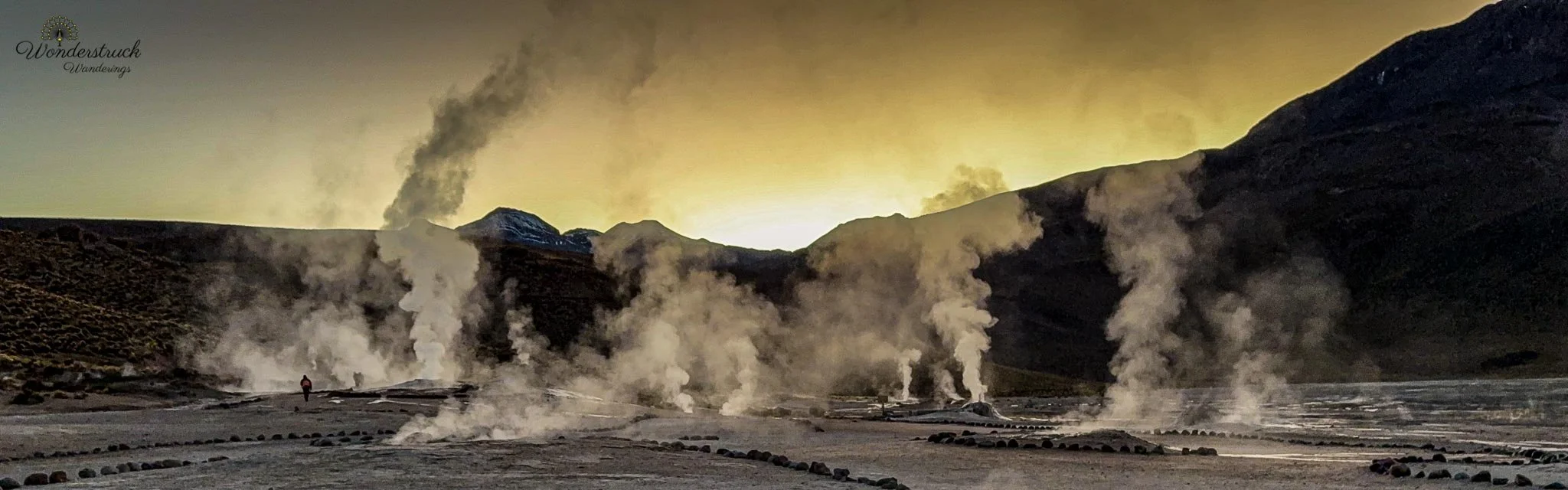
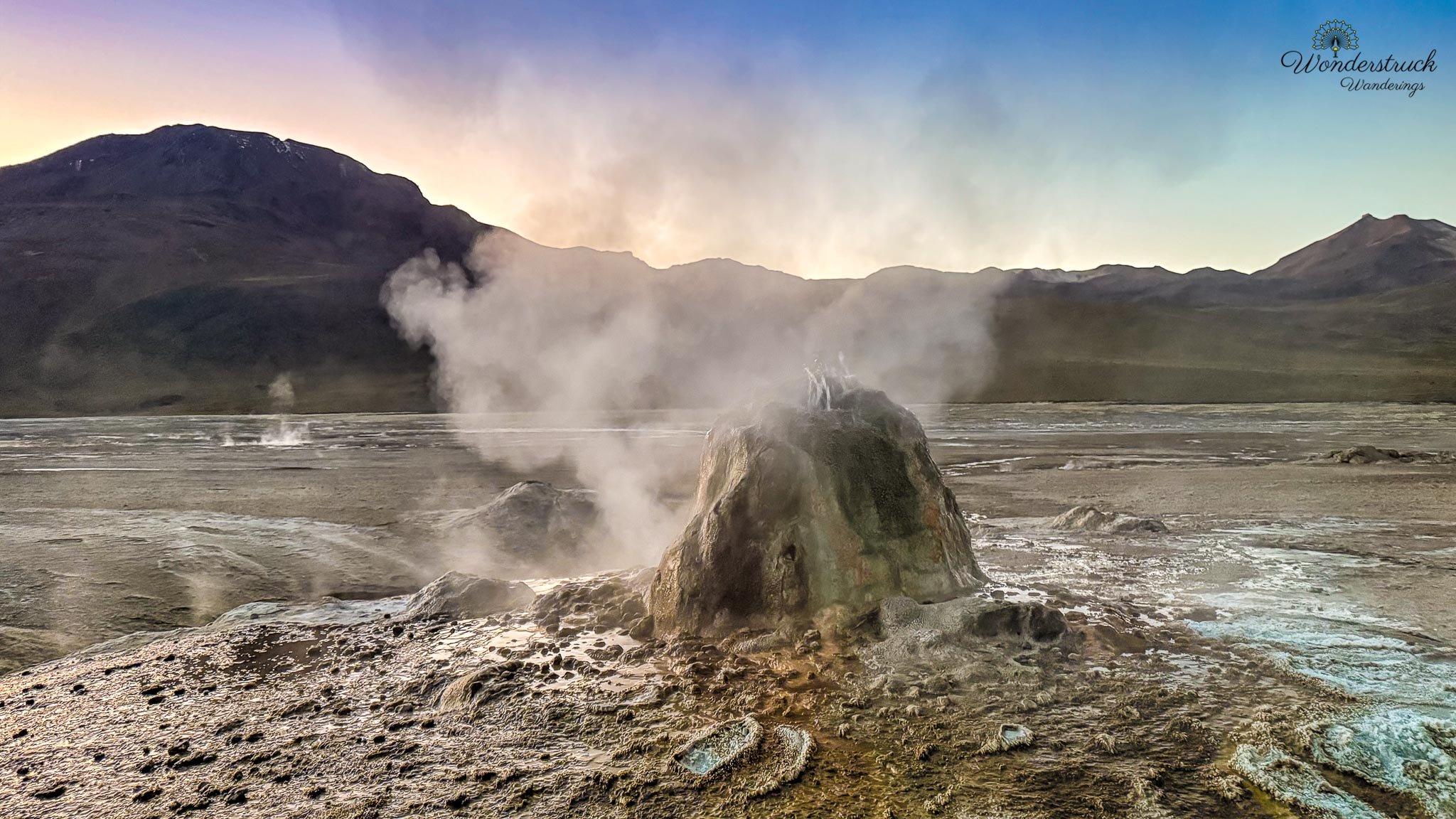
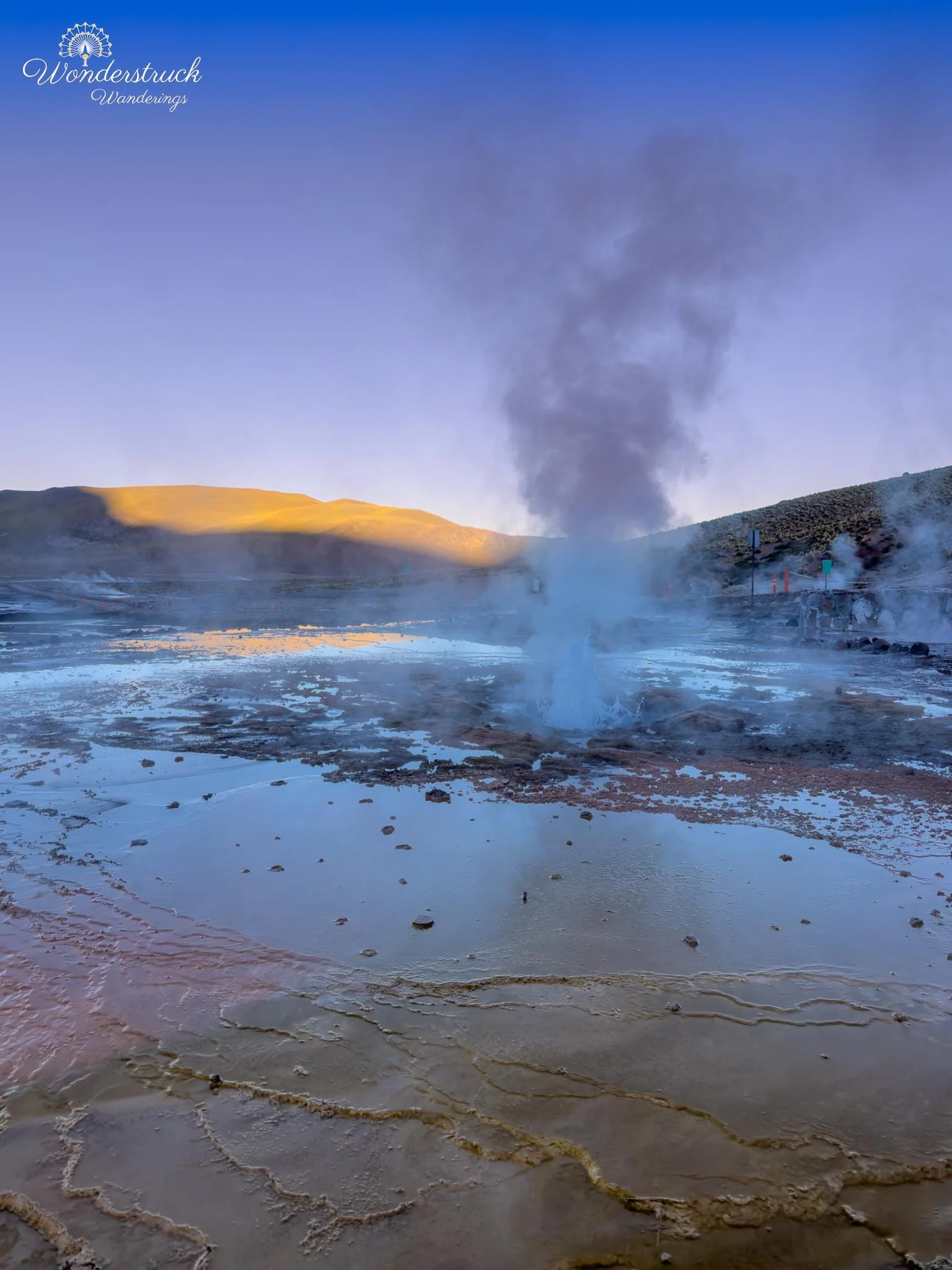
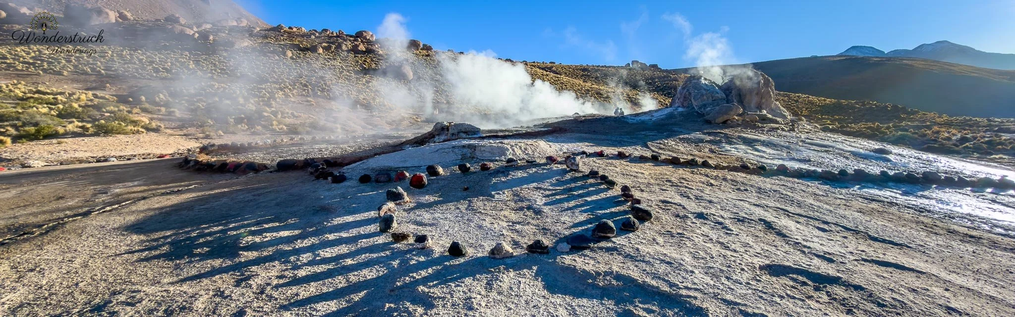
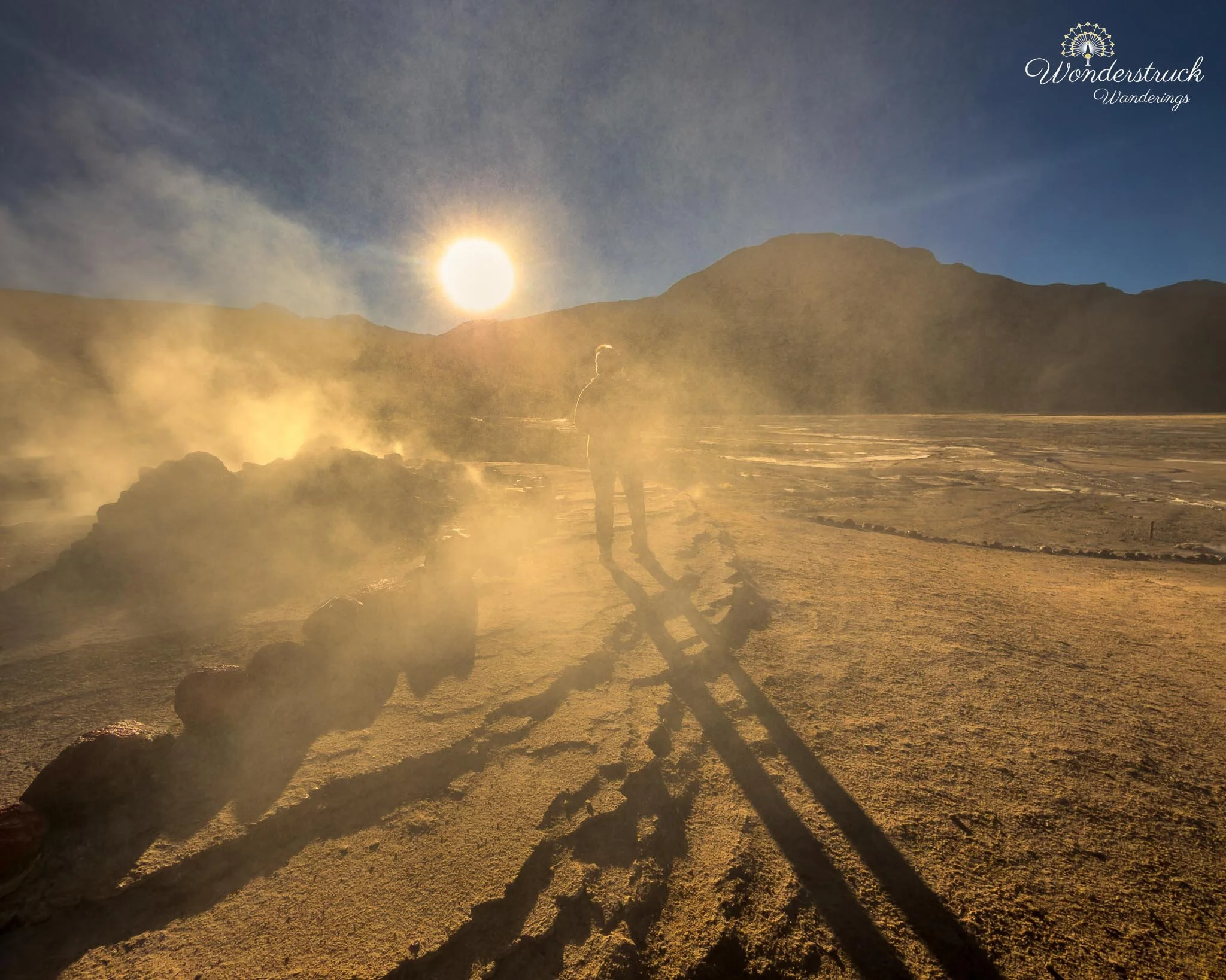
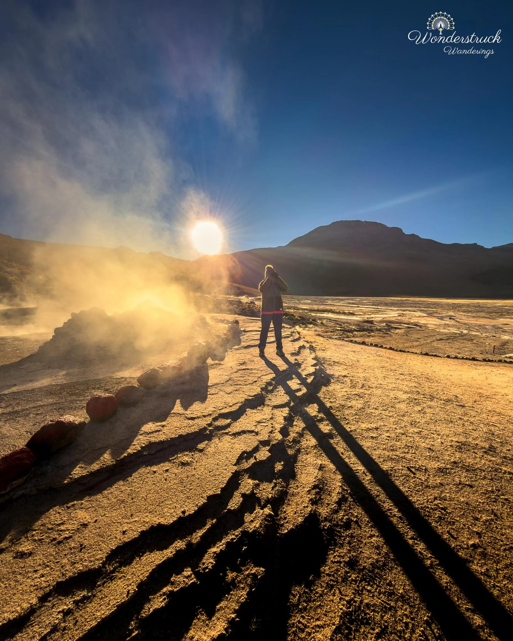
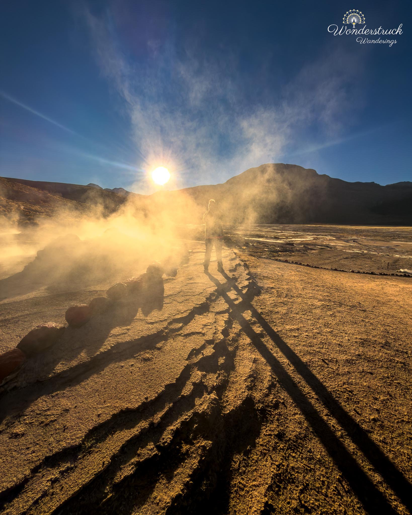
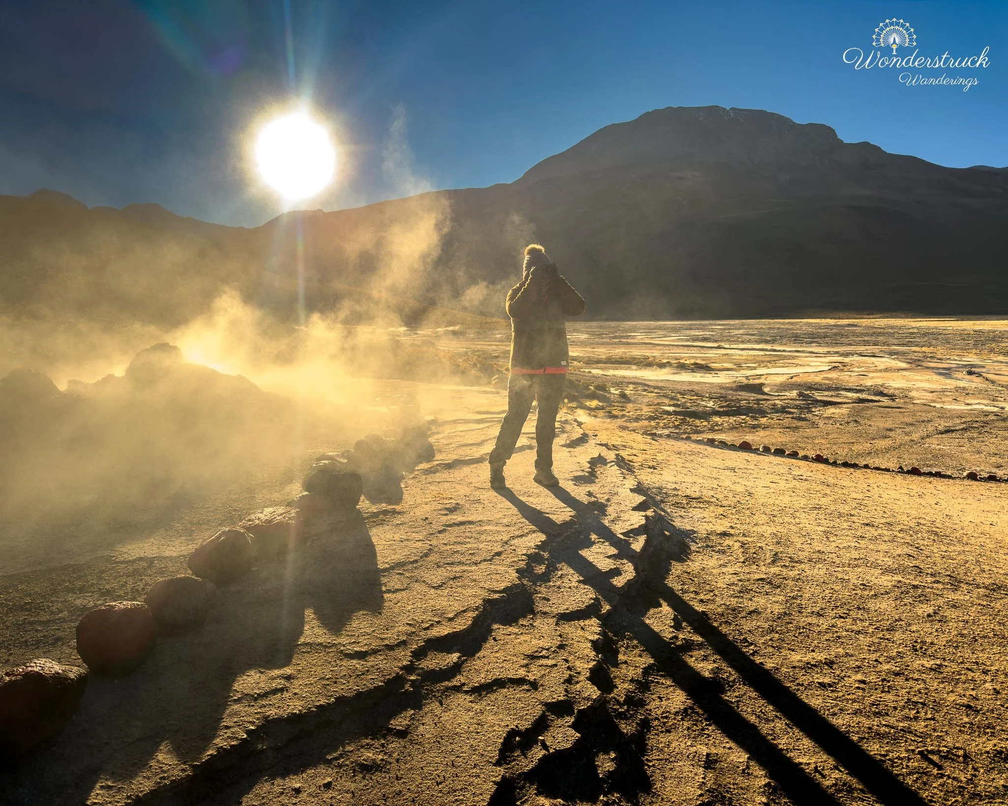
At one point, we were near one of the fumarole vents and were about to leave for a restroom break when we overheard a guide telling his group that this particular geyser erupts roughly every seven minutes. That was enough to make us stay. Sure enough, a few minutes later, the vent came alive. This was one of the larger geyser cones near the right side of the parking area, and watching it build and release steam after hearing the guide’s timing tip made the whole moment more satisfying. Sometimes the best travel information comes from accidentally standing close enough to a good guide. Then we heard someone point toward the left and say that this was where the most famous photo of El Tatio is usually taken. We turned, waited, and quickly understood why. From that angle, one of the main geysers sits to the right, sending up a strong plume of steam, while the sun rises behind the mountains in the background. When the first light finally broke through the peaks, it backlit the steam beautifully. The whole plume glowed from behind, shifting from cold white to gold as the sun climbed. That was the moment when the Upper Basin advice made perfect sense. In the dark, it had felt random. In the light, it became the classic El Tatio sunrise shot.
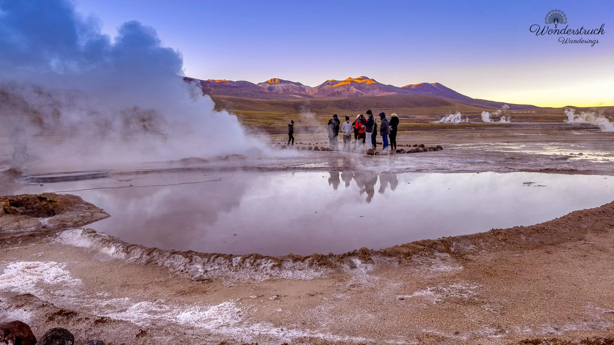
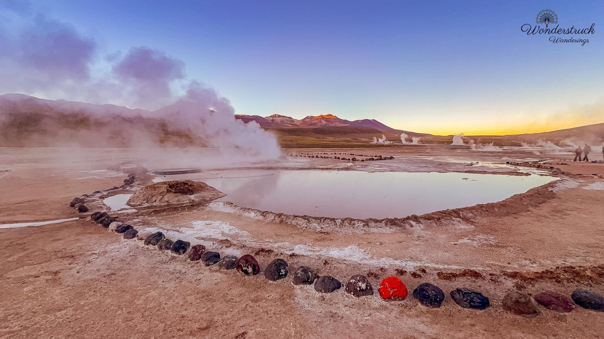
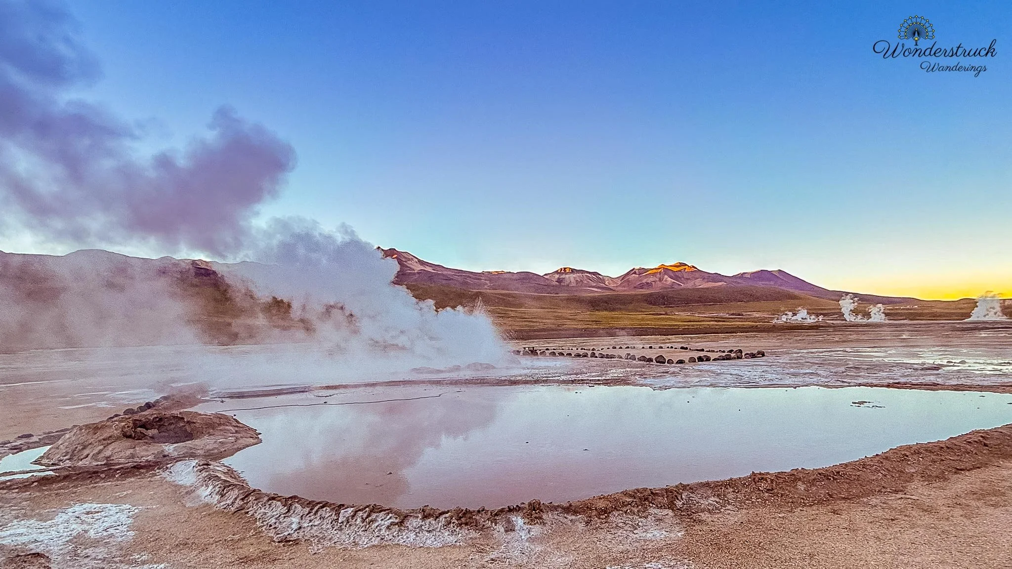
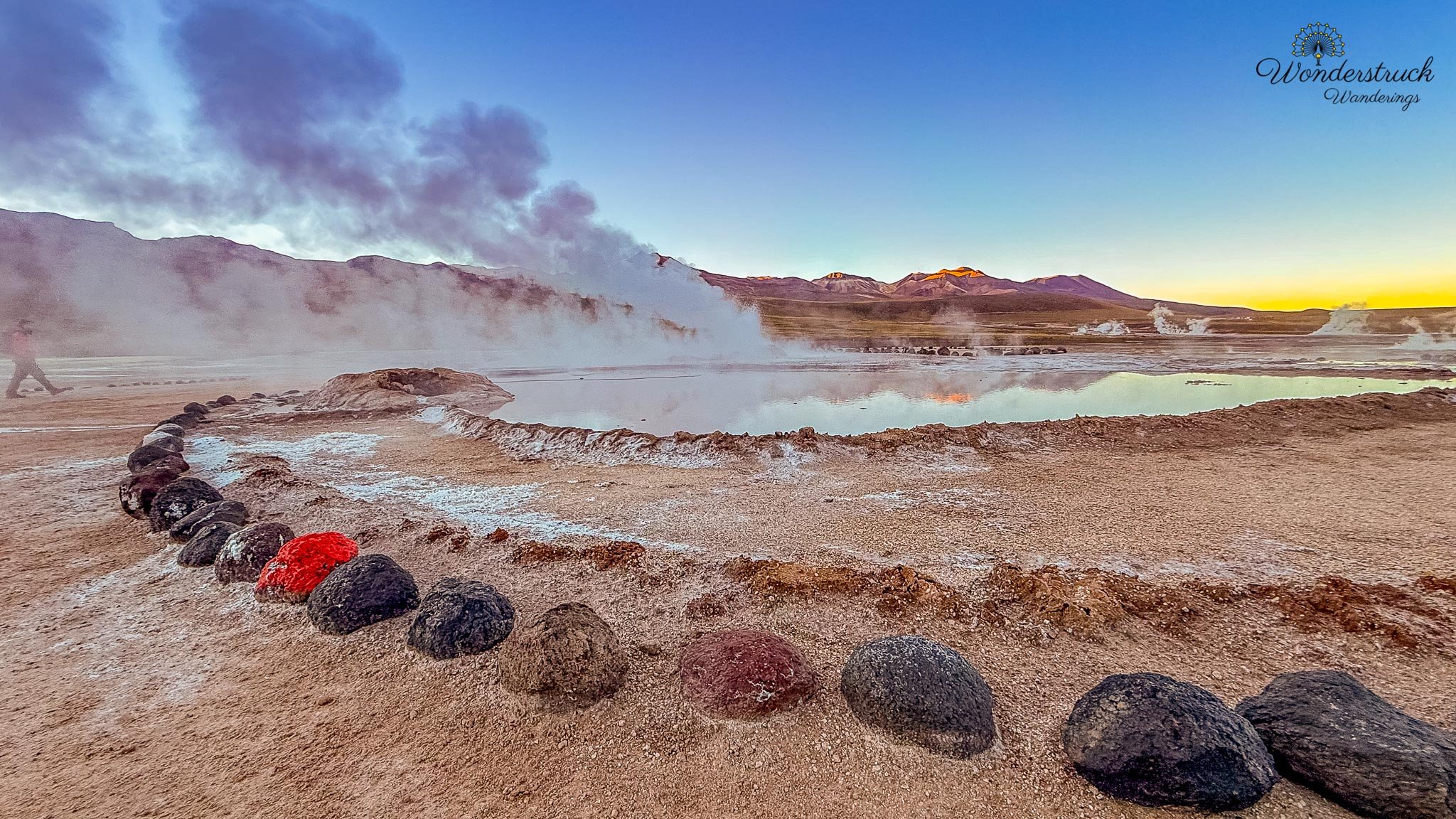
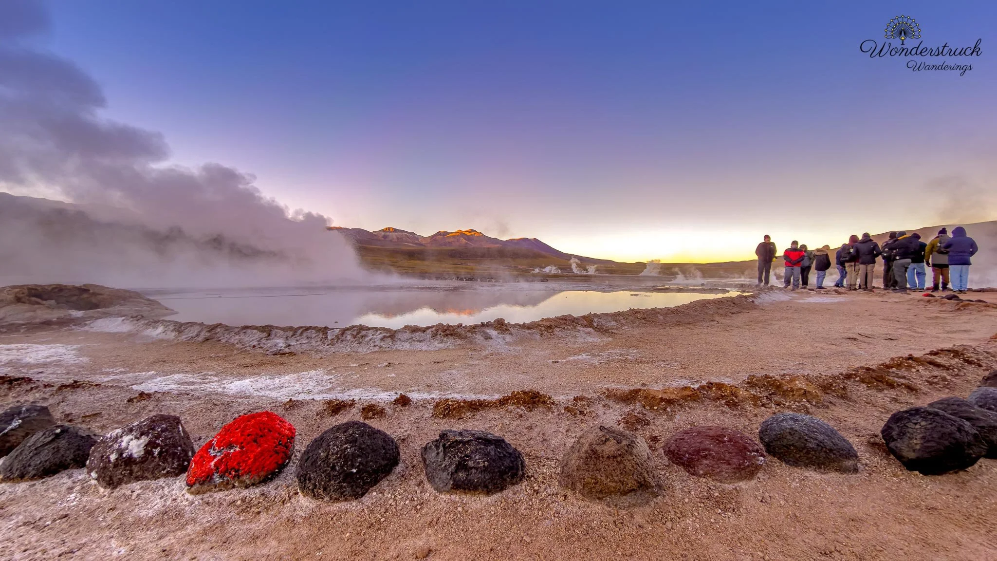
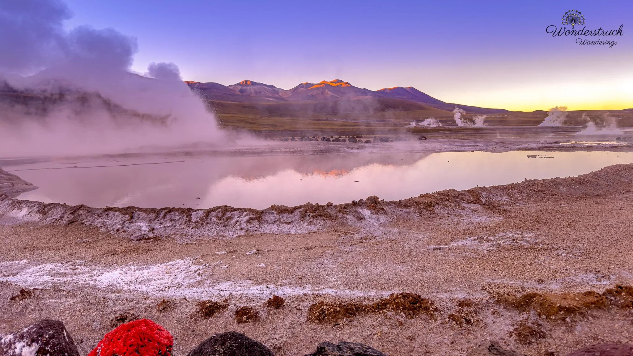
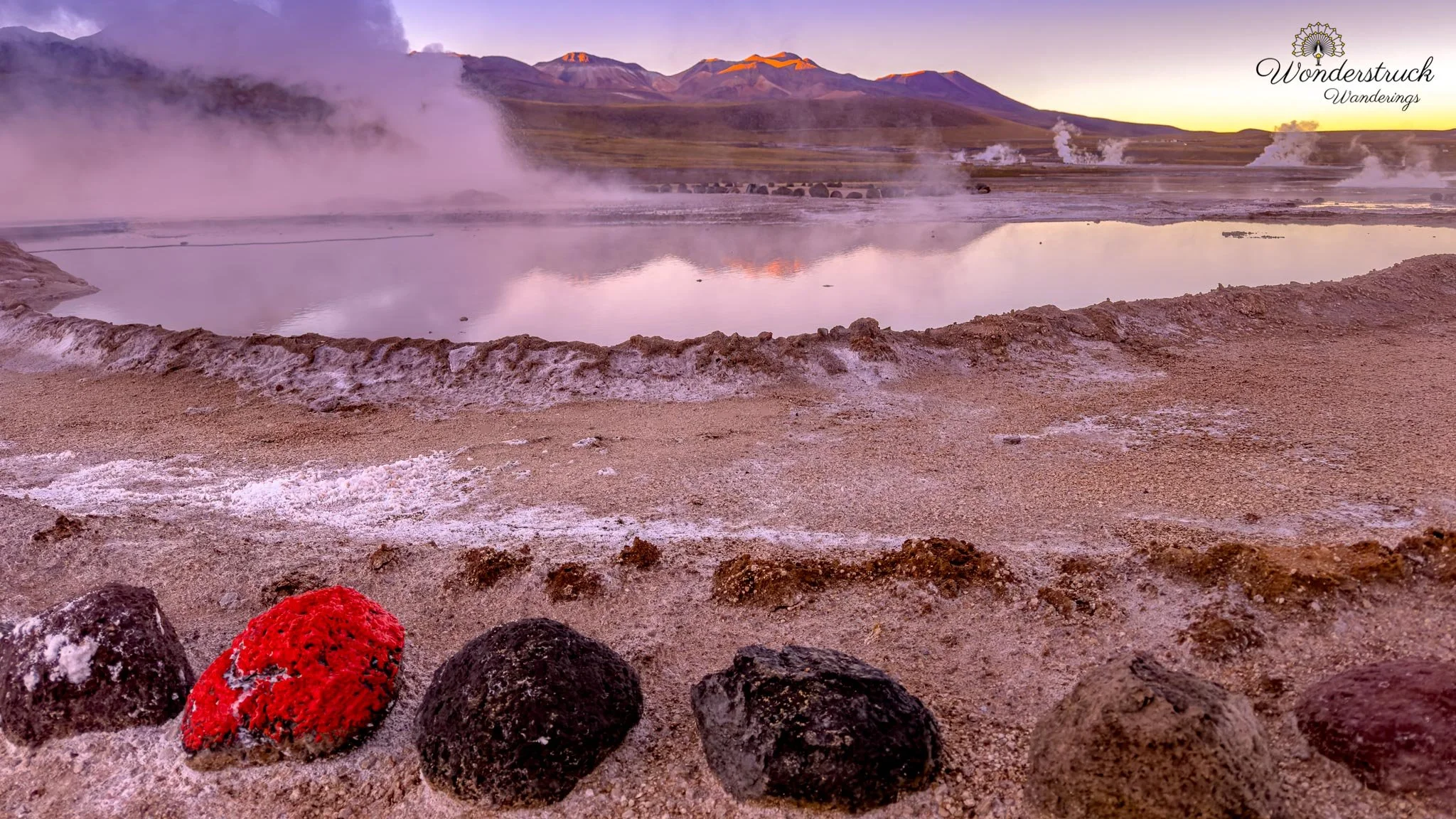
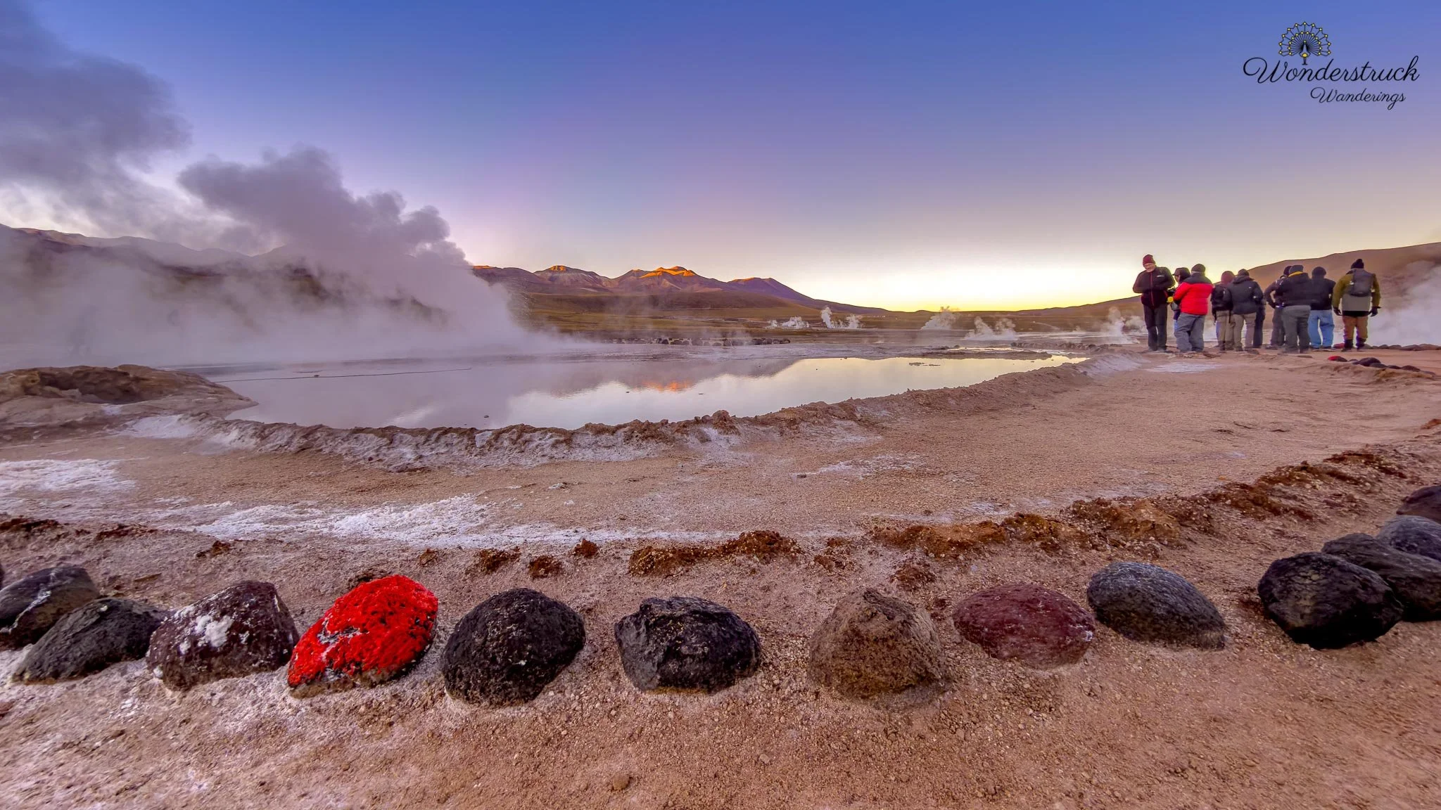
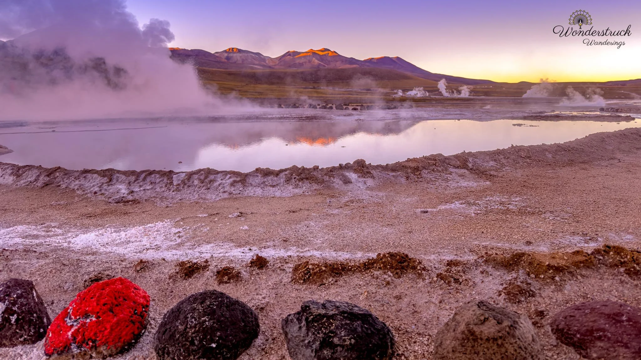
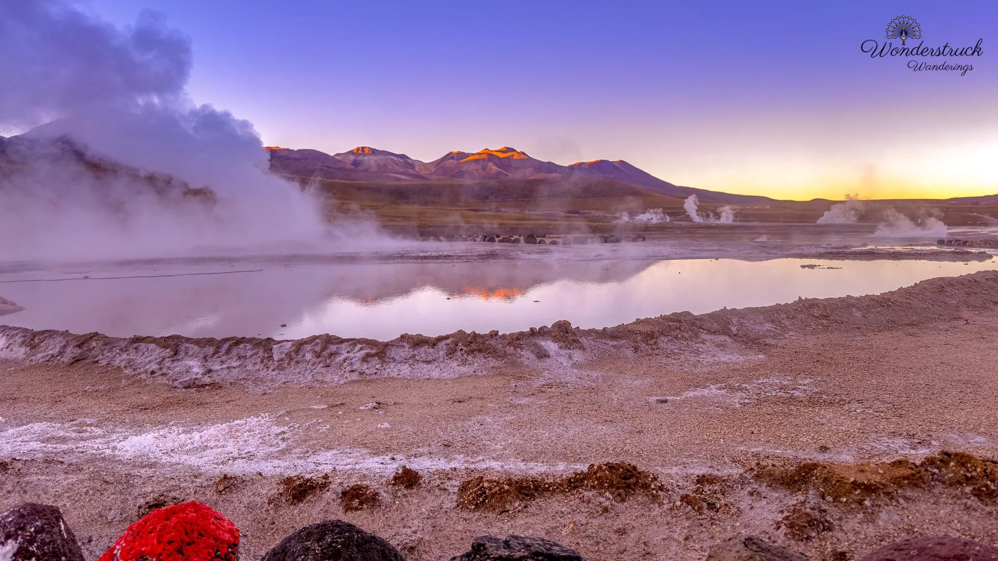
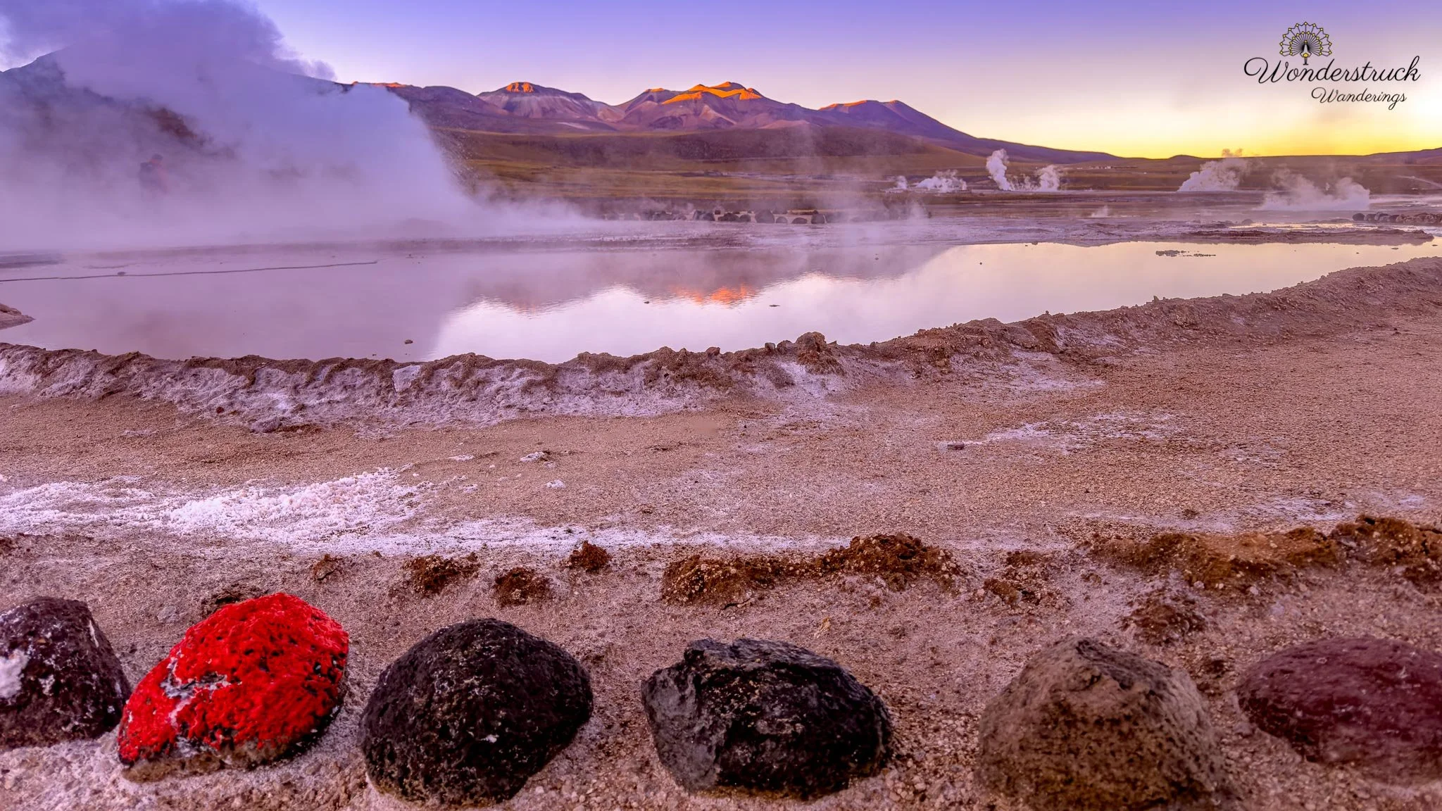
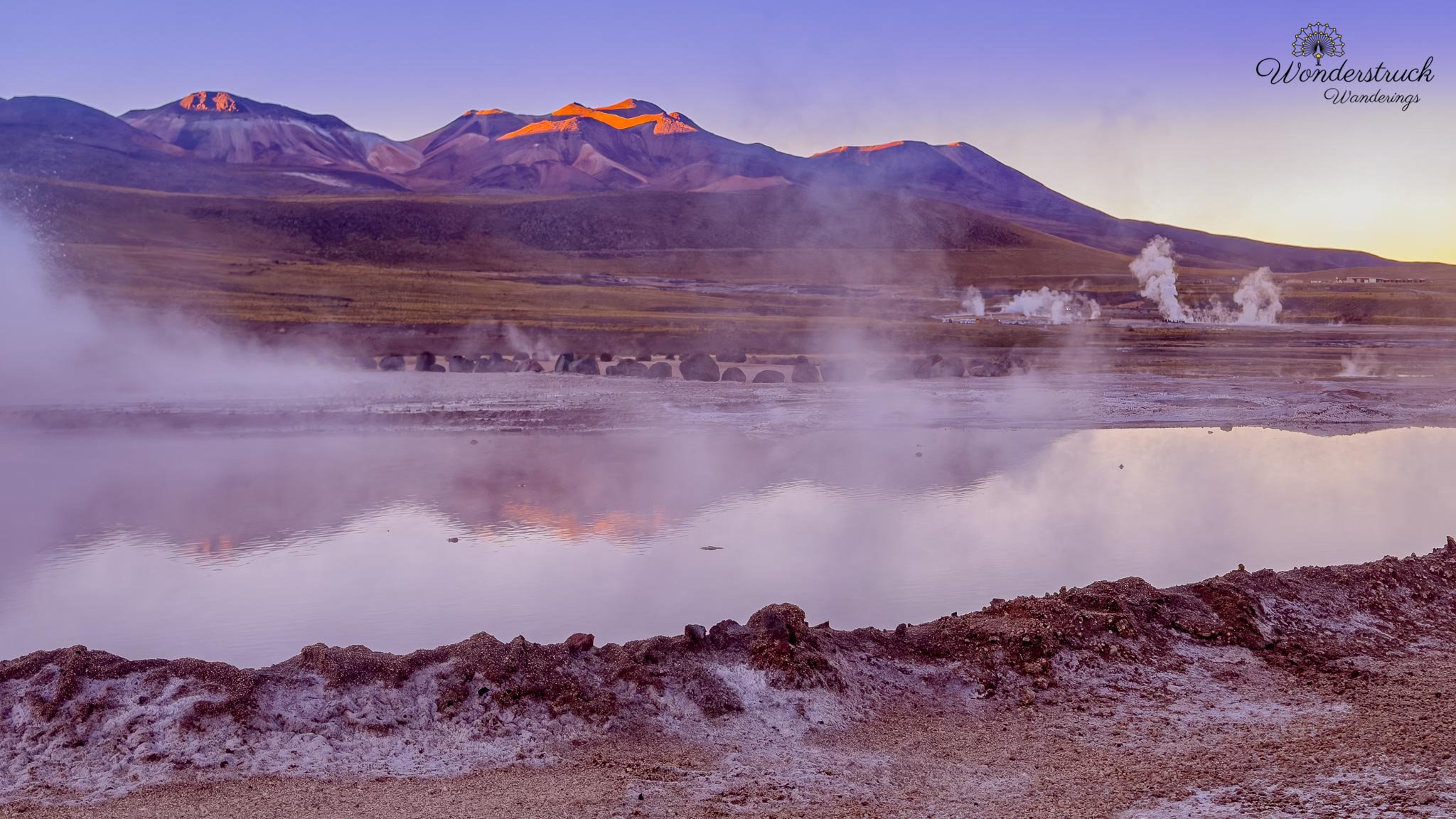
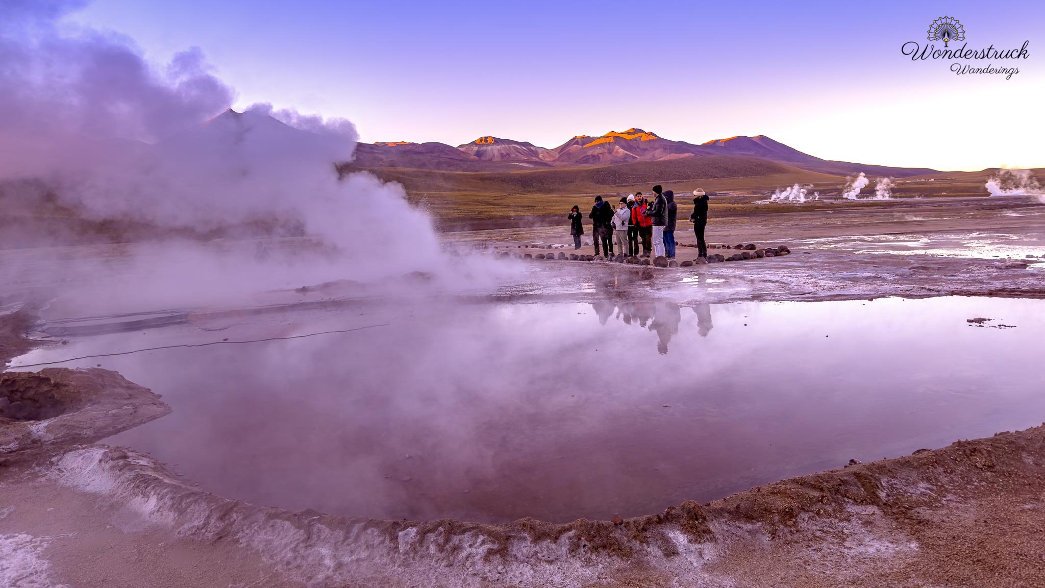
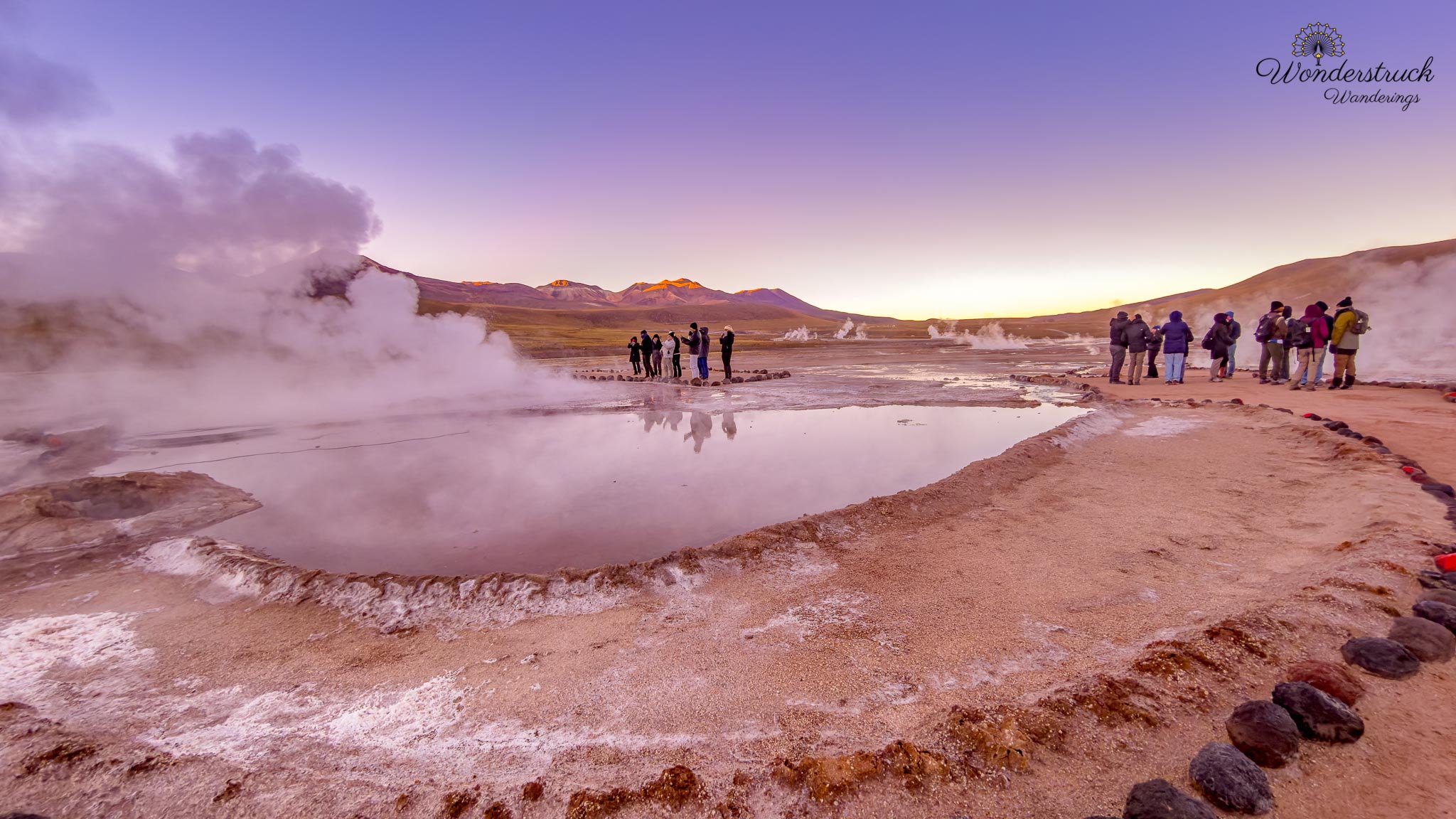
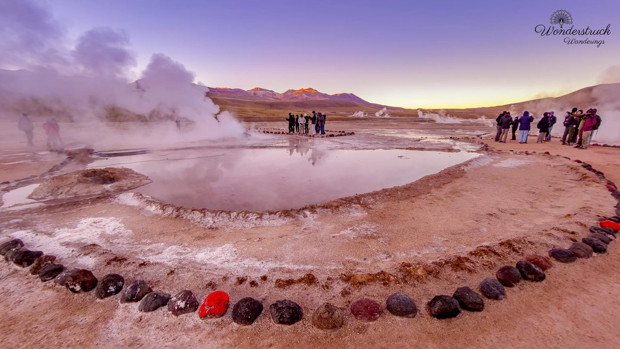
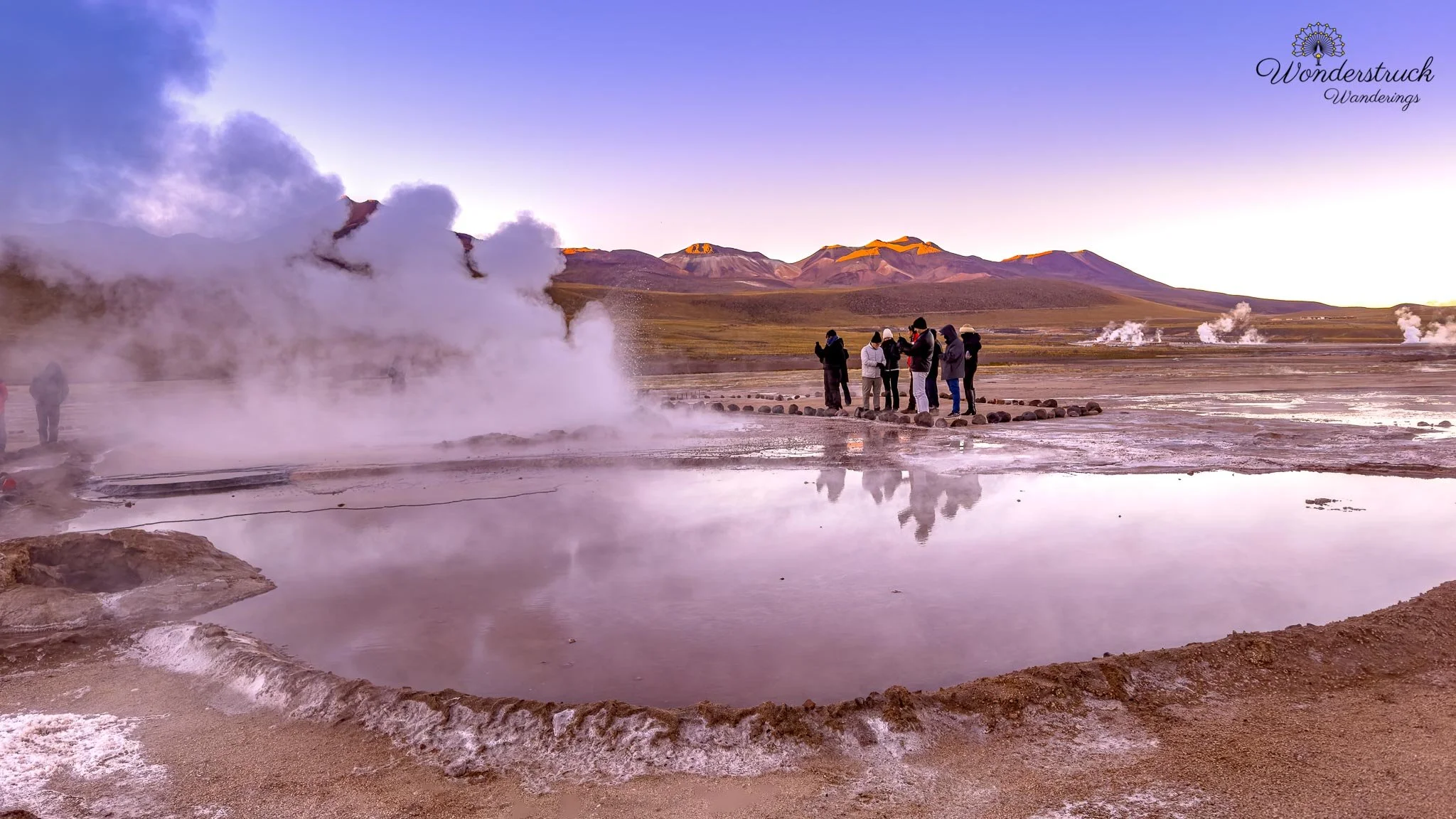
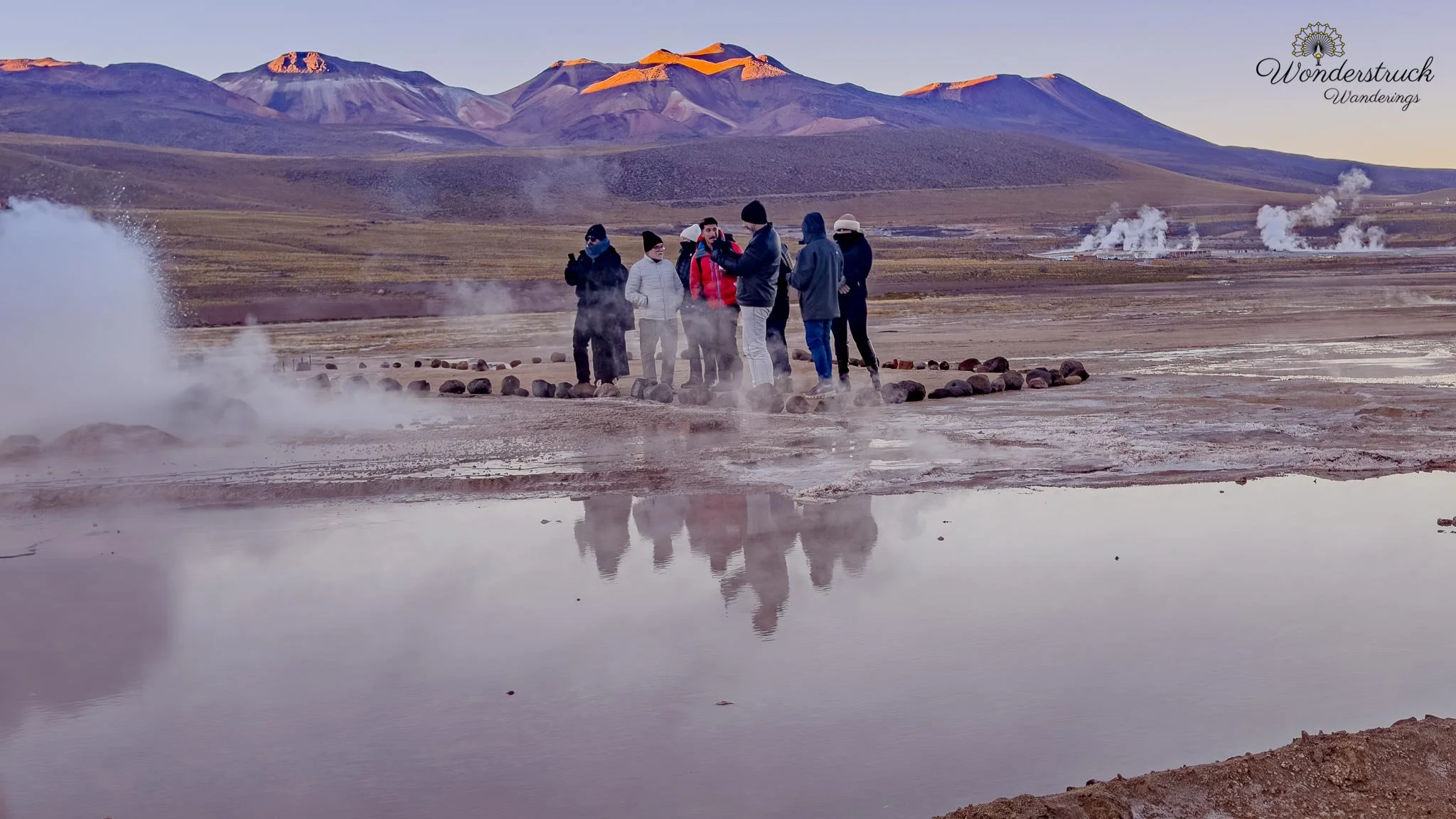
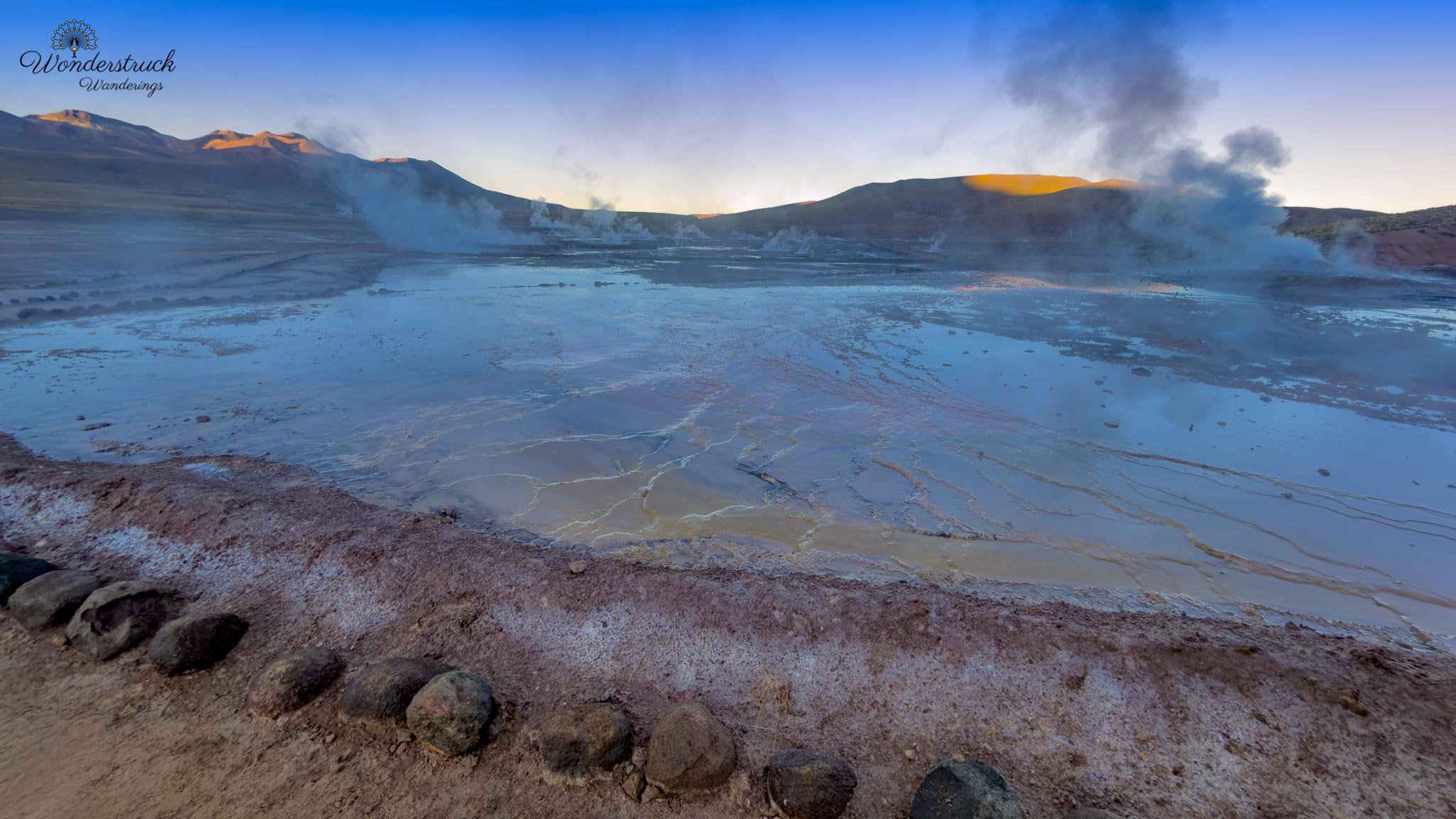
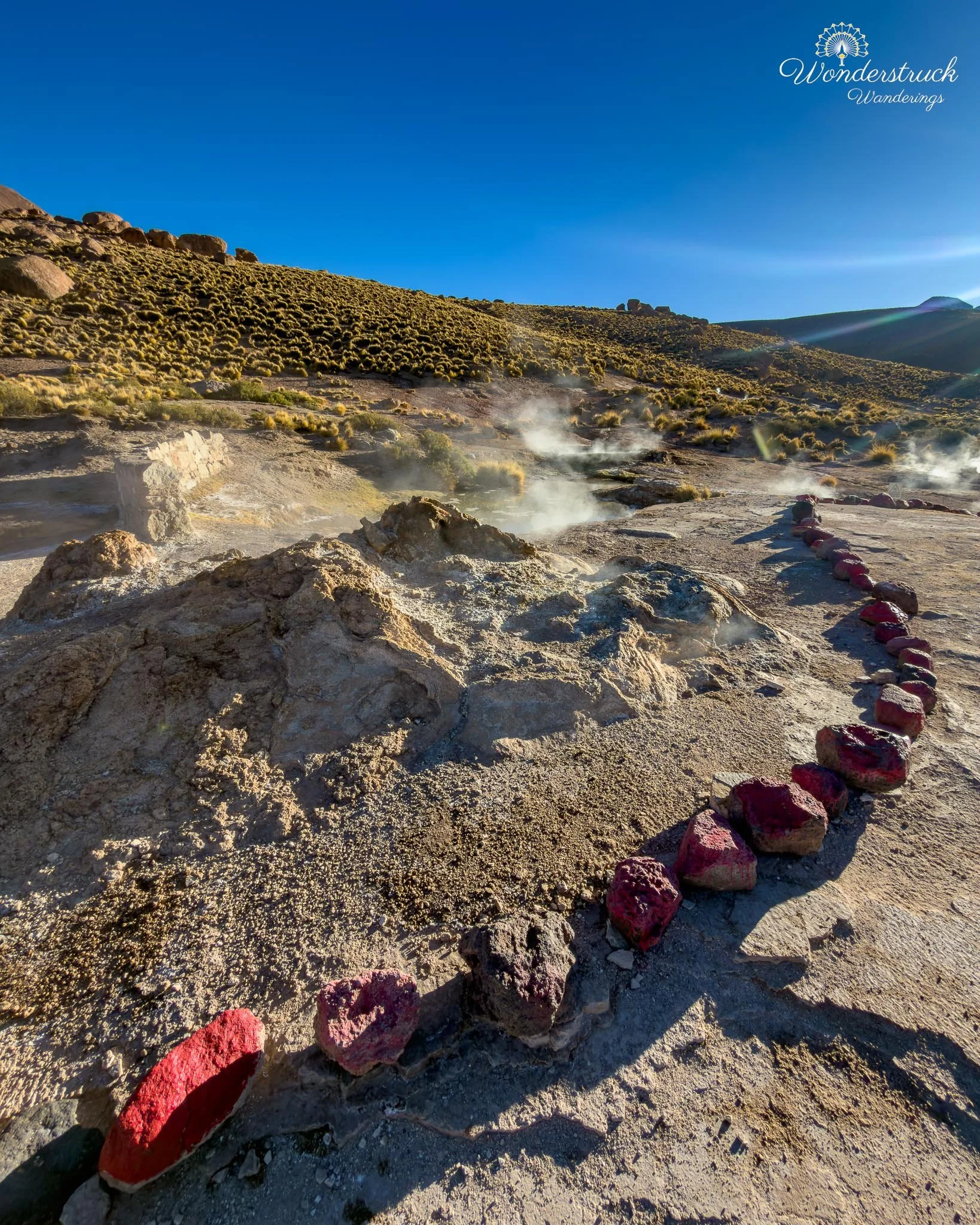
Before the sun cleared the horizon, the whole field was silver, blue, and white—dark volcanic ground, pale steam, and cold air amplifying every plume. Some vents only hissed quietly from low openings in the ground. Others released steady columns of steam. A few had bubbling water, mineral rims, and sudden bursts that reminded you how active the system was below your feet. The ground here is fragile and dangerous, so you stay strictly on the marked paths and platforms. The beauty of El Tatio is not something to step into casually; boiling water, unstable crust, and hidden vents are part of the landscape. What makes El Tatio so powerful at sunrise is the temperature difference. Before the sun rises, the air is freezing, often below zero, and the cold makes the steam columns look enormous. Once the sun comes up and the air warms, the drama changes quickly. We had heard that the best show is between roughly 6:30 and 7:30 a.m., but it is one thing to hear that and another to watch it happen. For the first half hour, the field felt alive in every direction—steam lifting vertically, vents hissing, mineral pools glowing faintly in the dawn light, and the surrounding slopes slowly catching color. Then the sun rose higher, and almost immediately the field changed. The geysers did not disappear, but the mystery softened , like some one had turned a switch off. The same vents were still there, the same pools still bubbled, but the dense white columns were thinner and less dramatic against the brightening sky. That is the main lesson of El Tatio: if you are going to make the cold, dark, high-altitude drive, arrive before sunrise and start in the Upper Basin. That is when the geothermal field feels most alive.
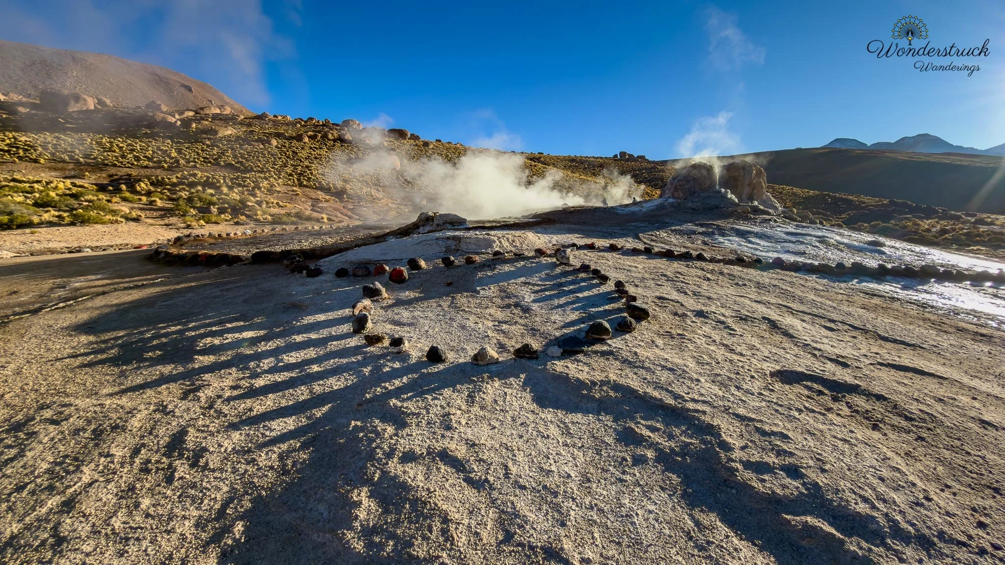
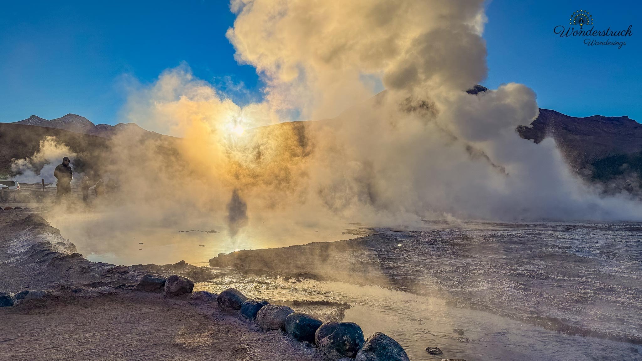
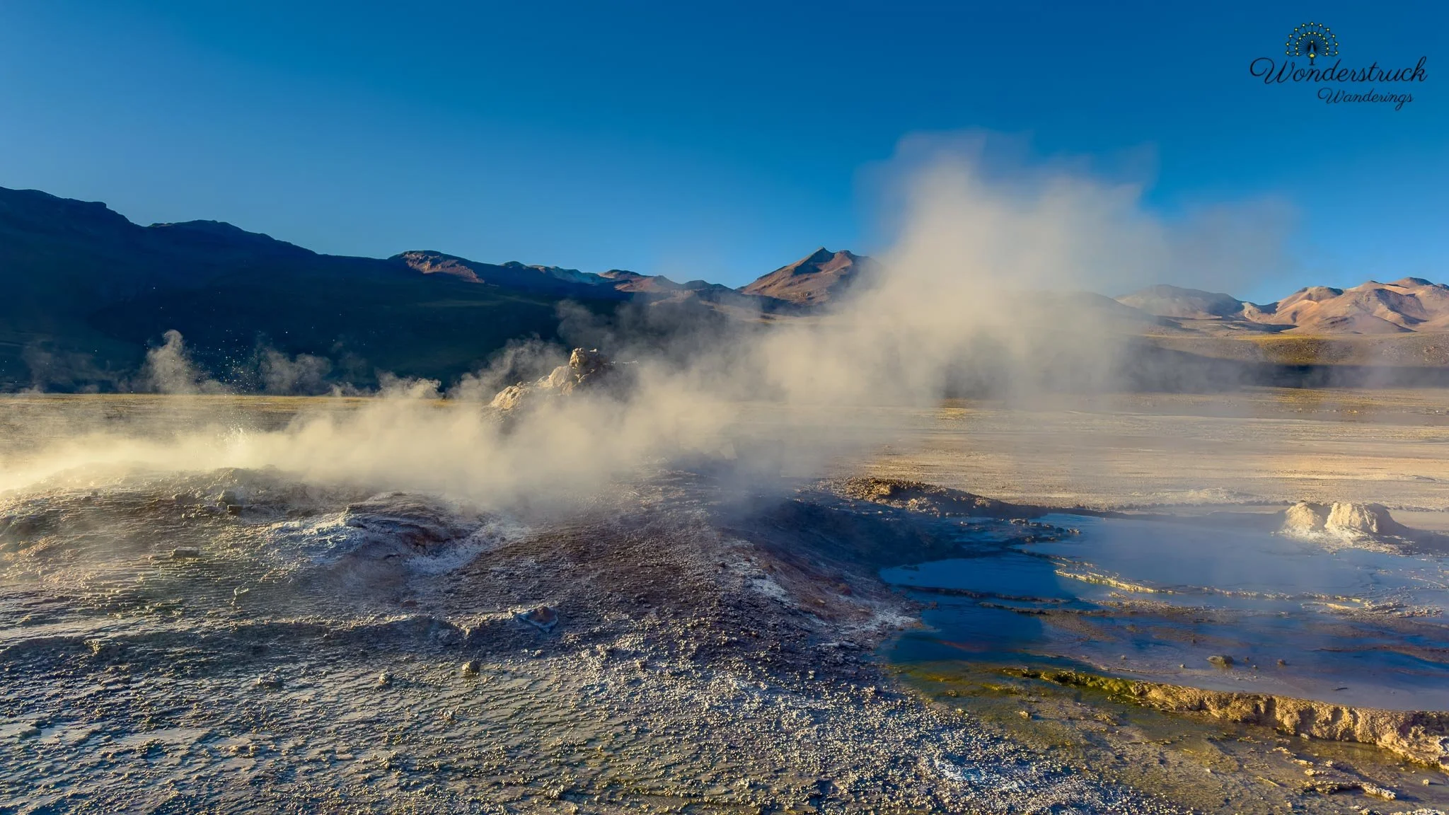
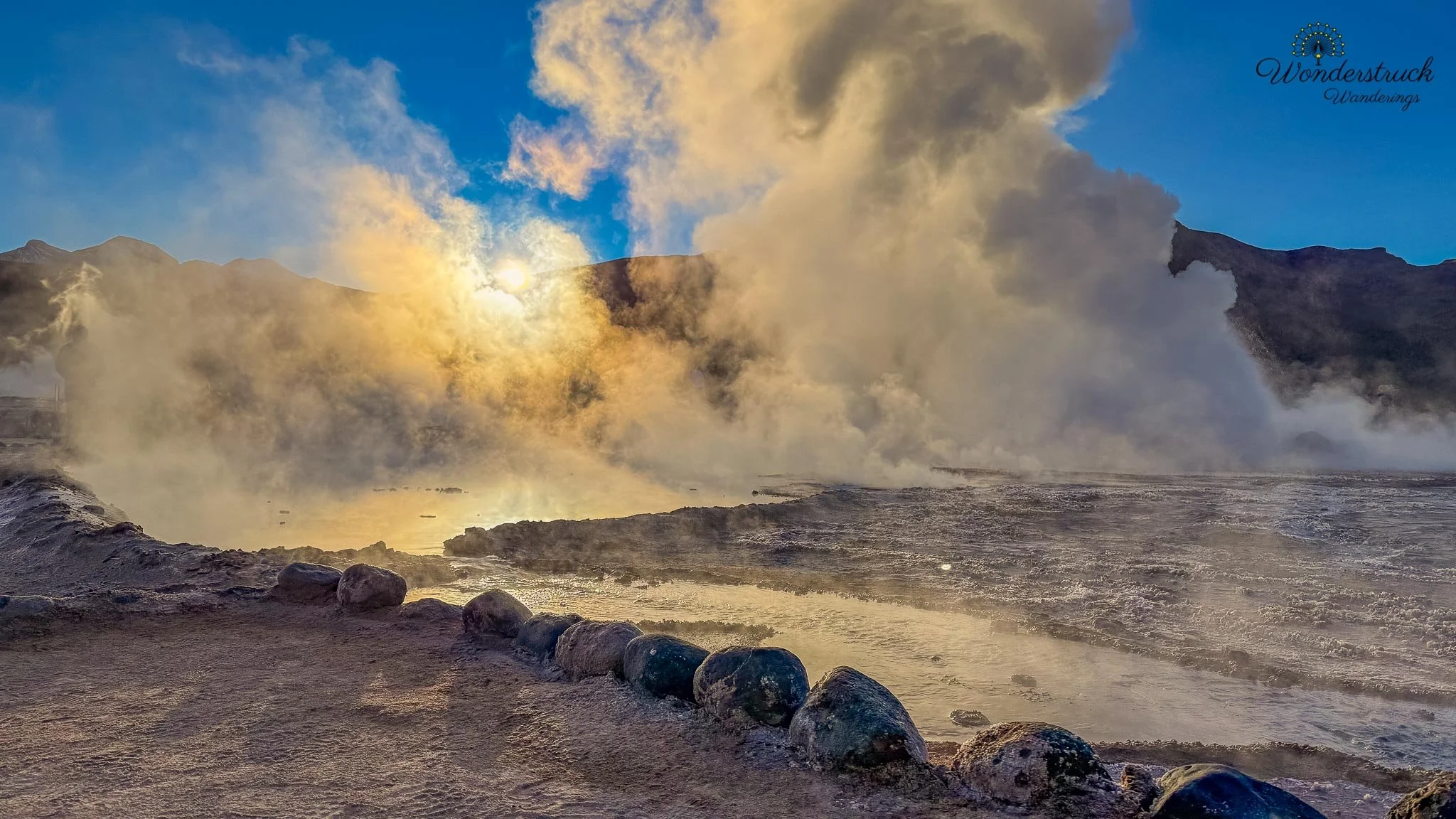
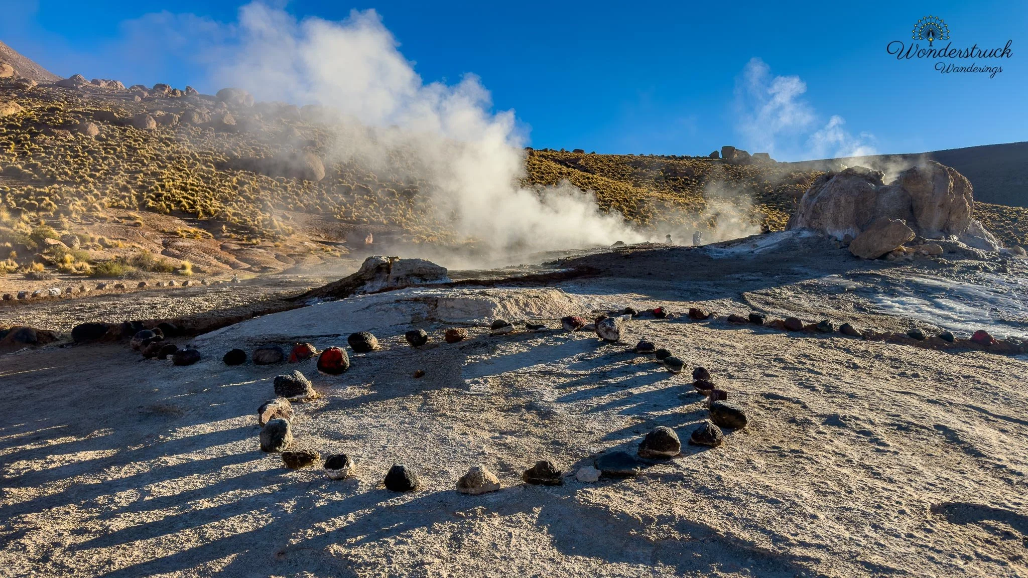
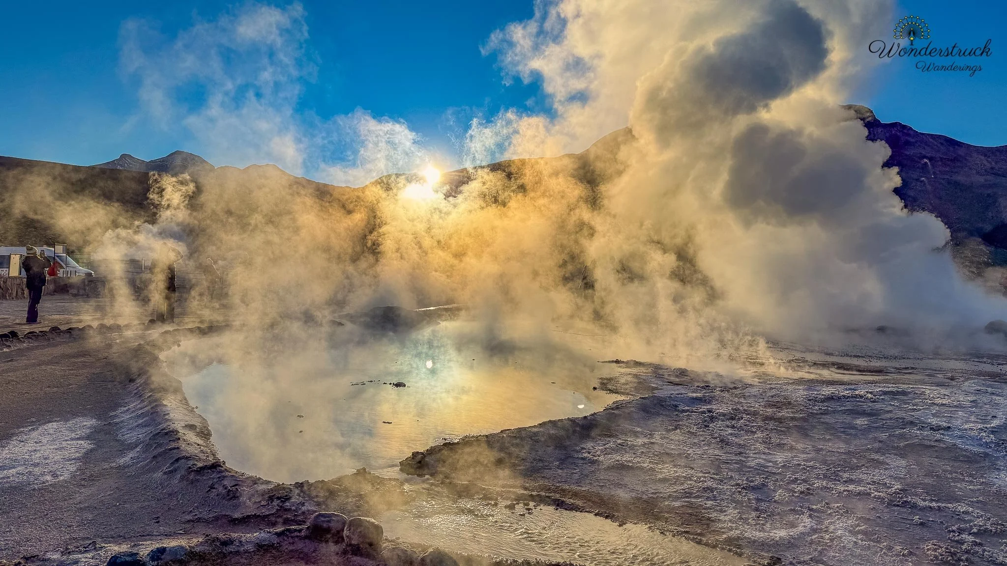
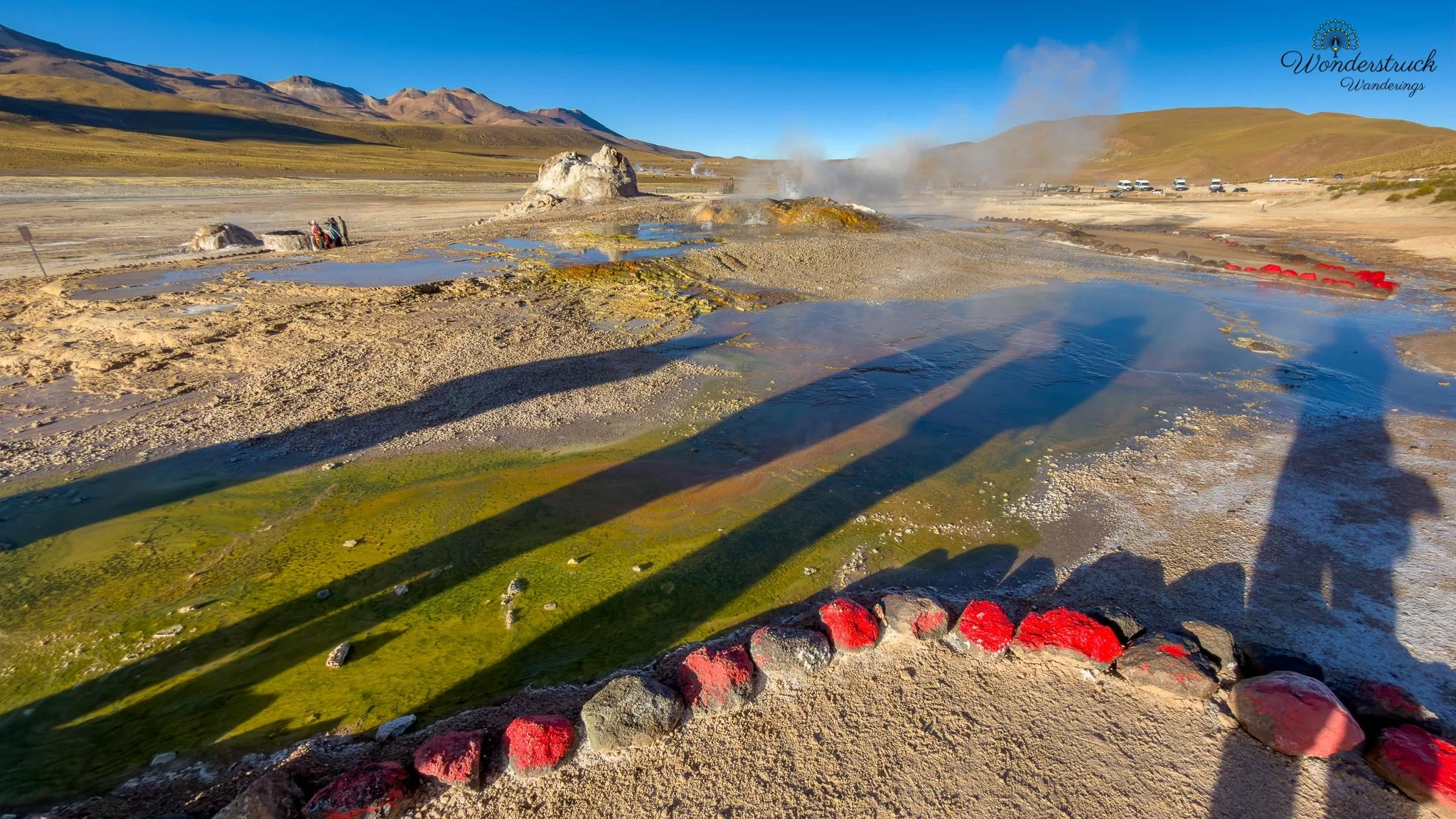
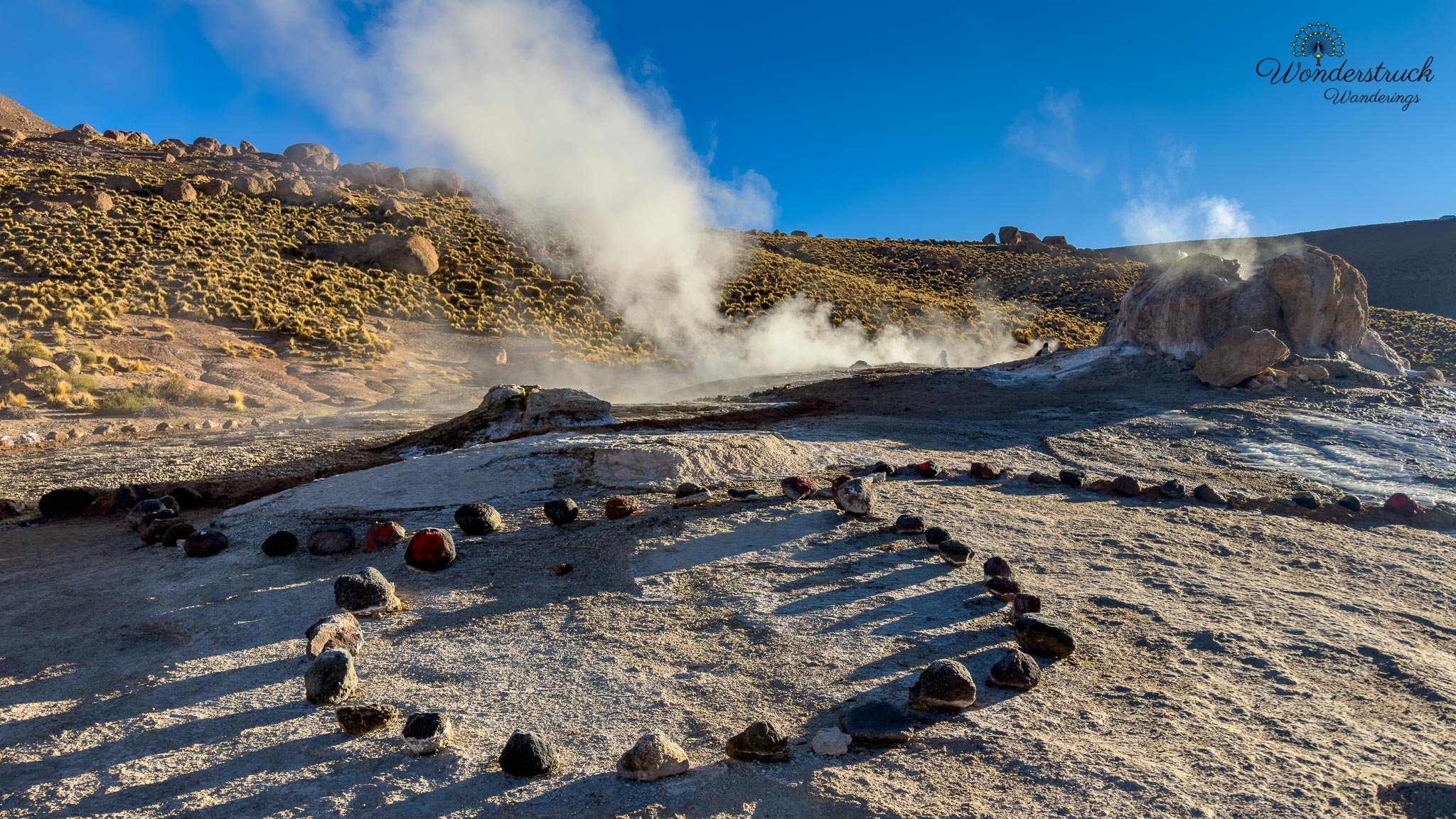
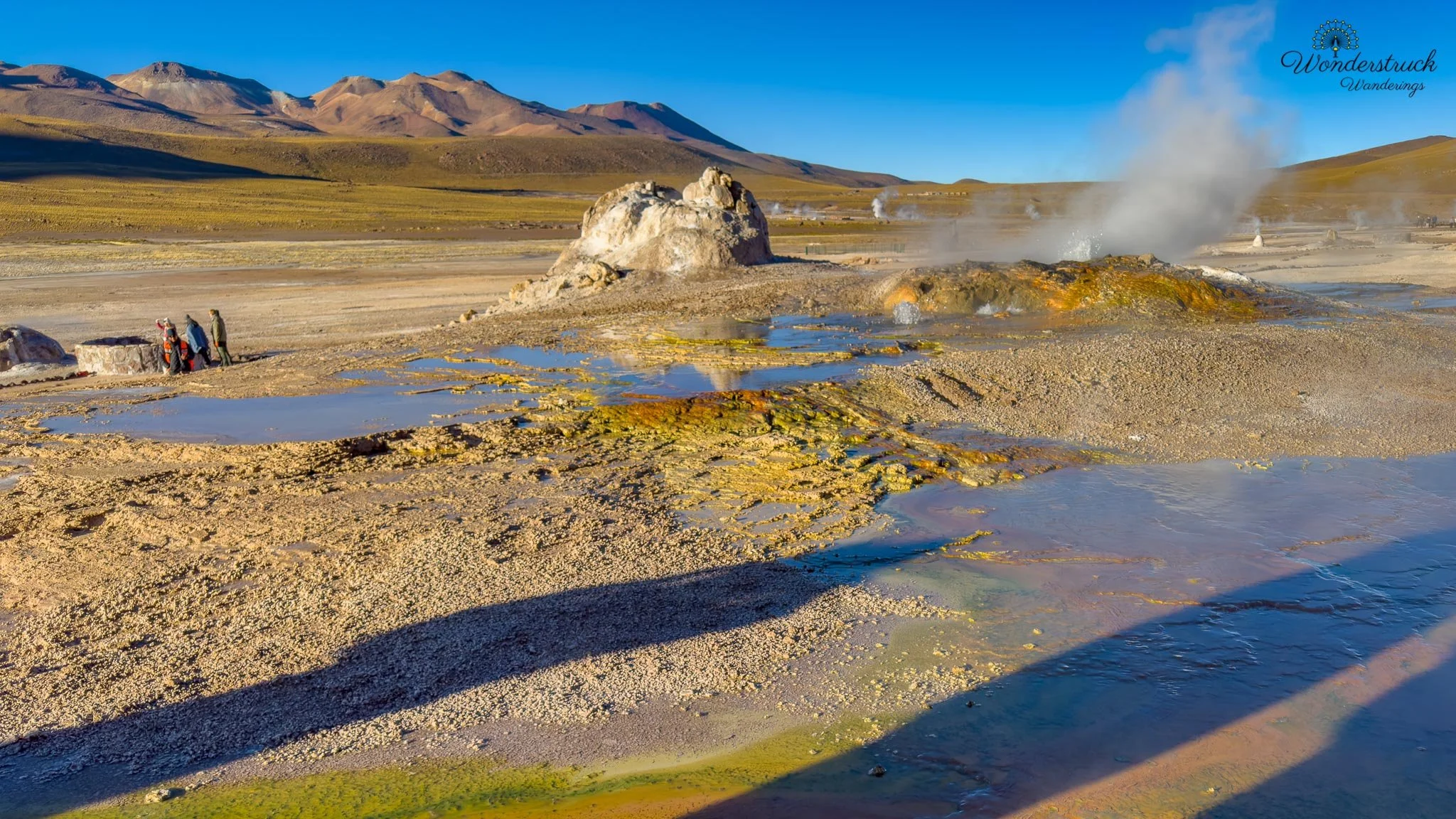
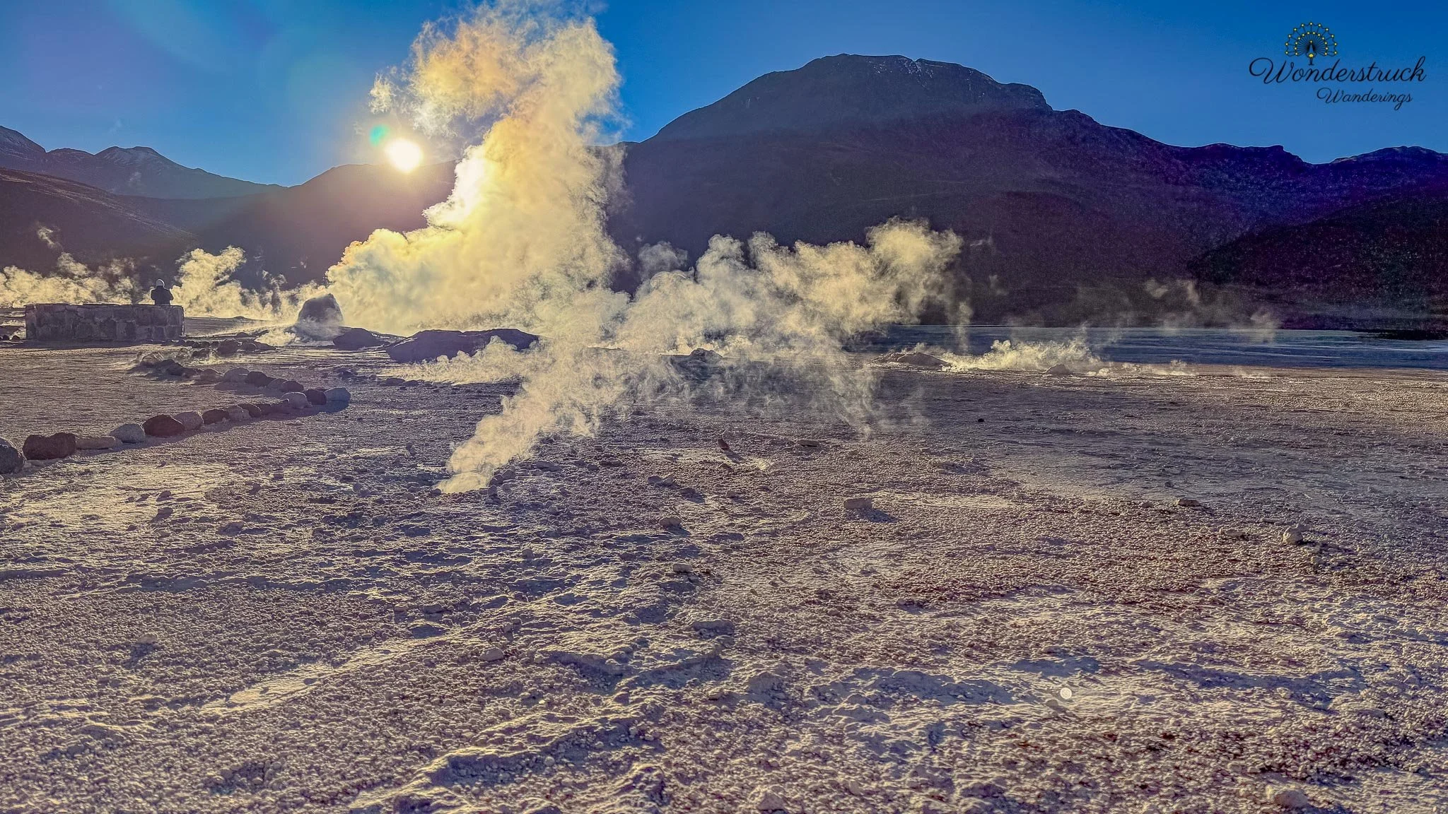
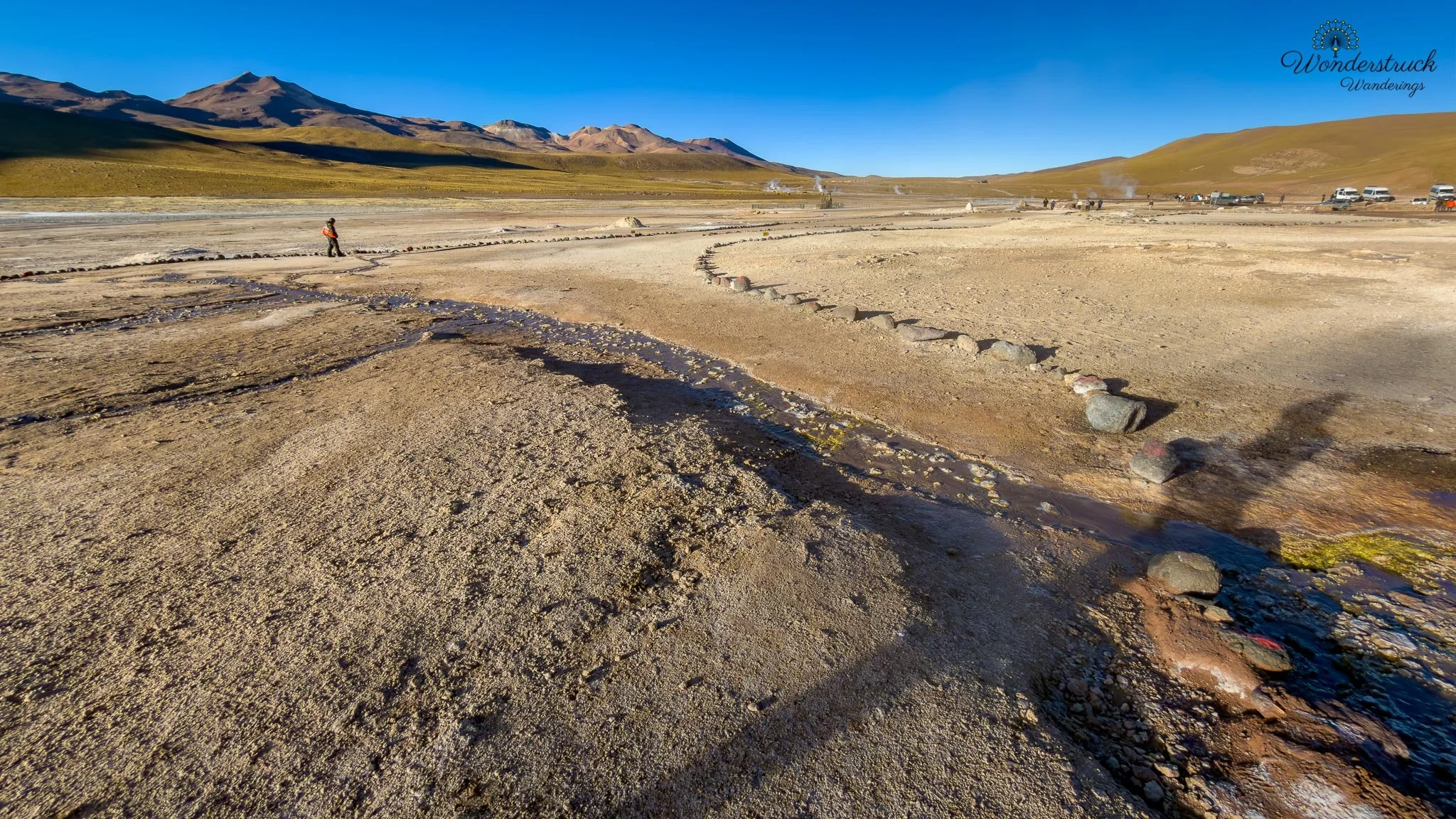
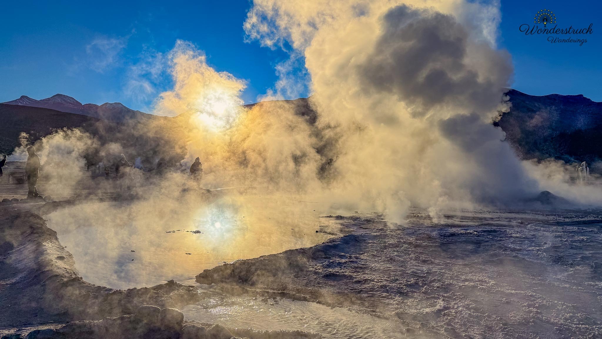
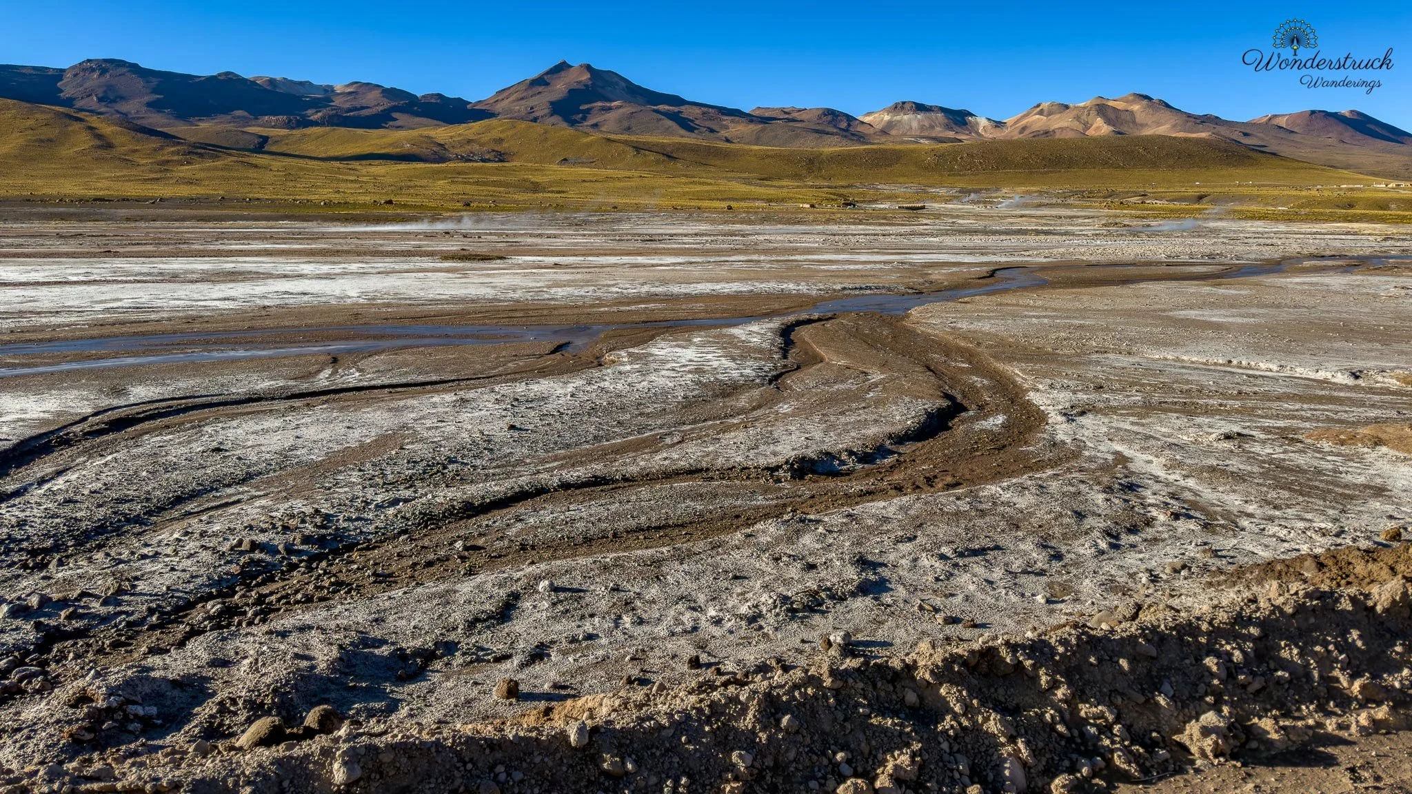
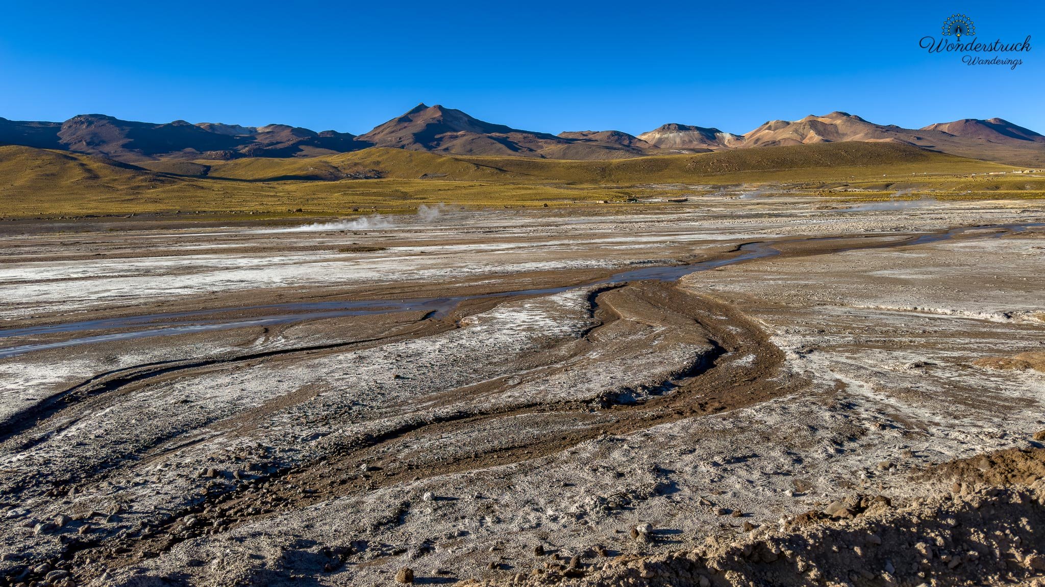
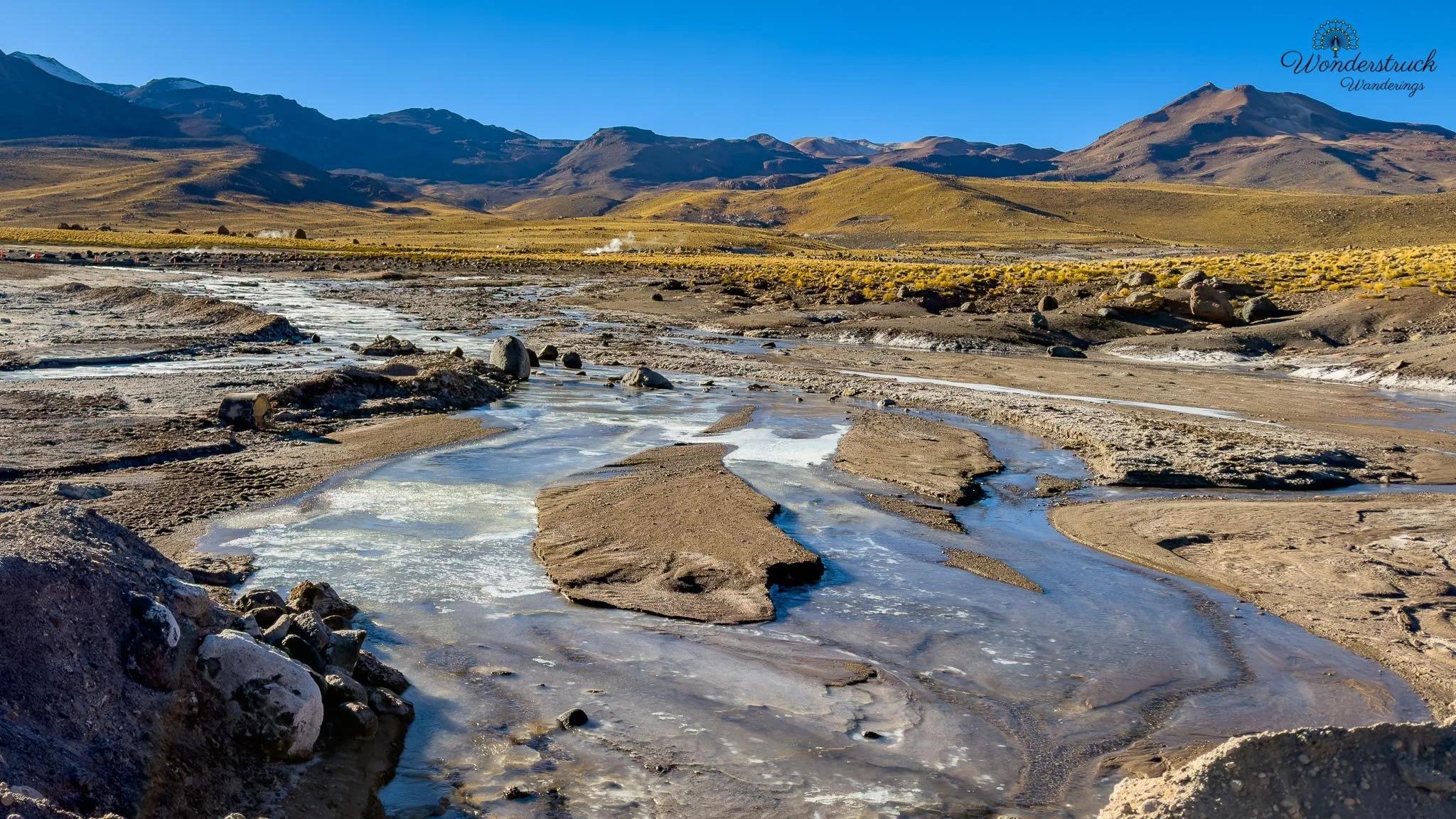
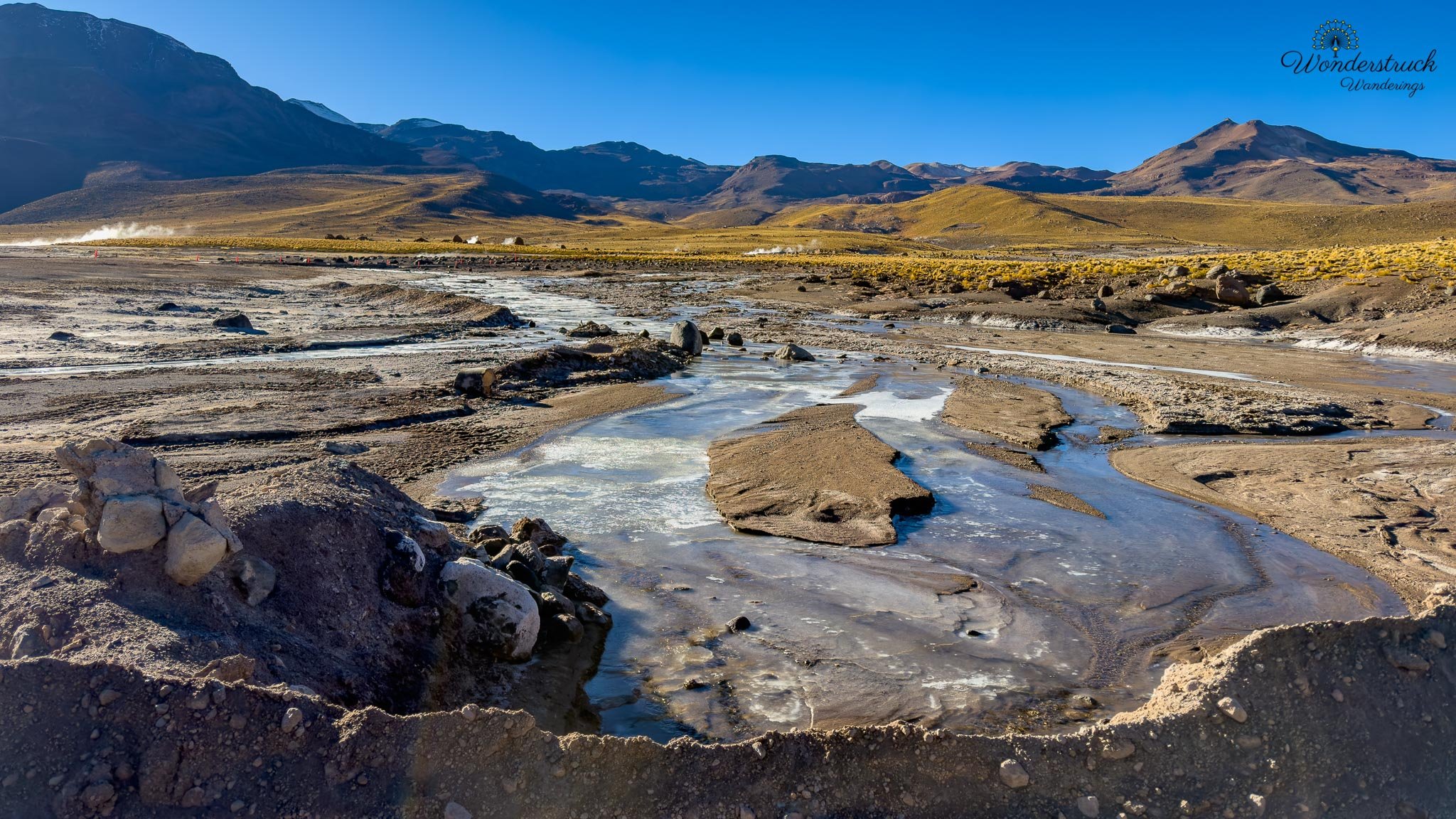
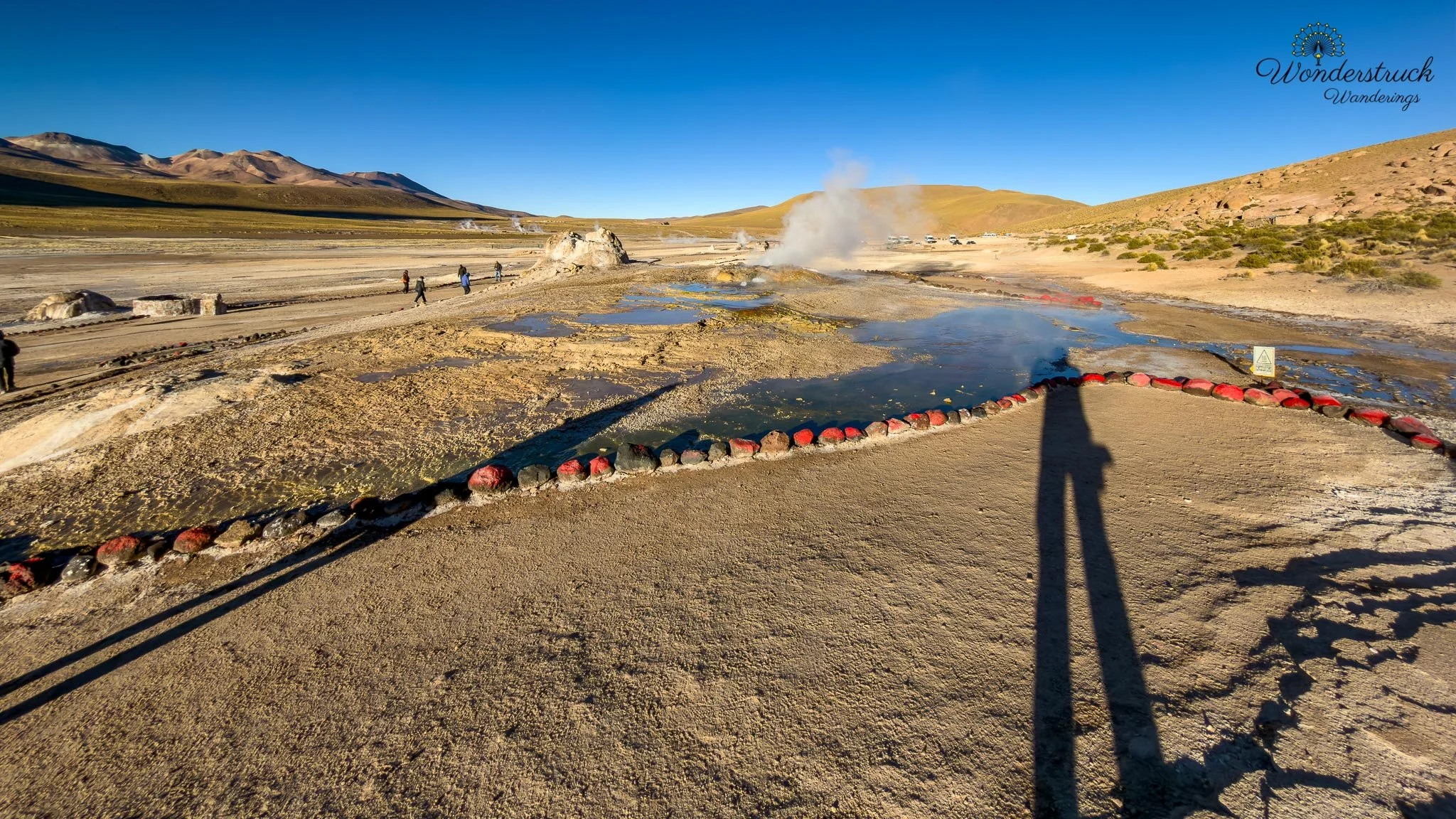
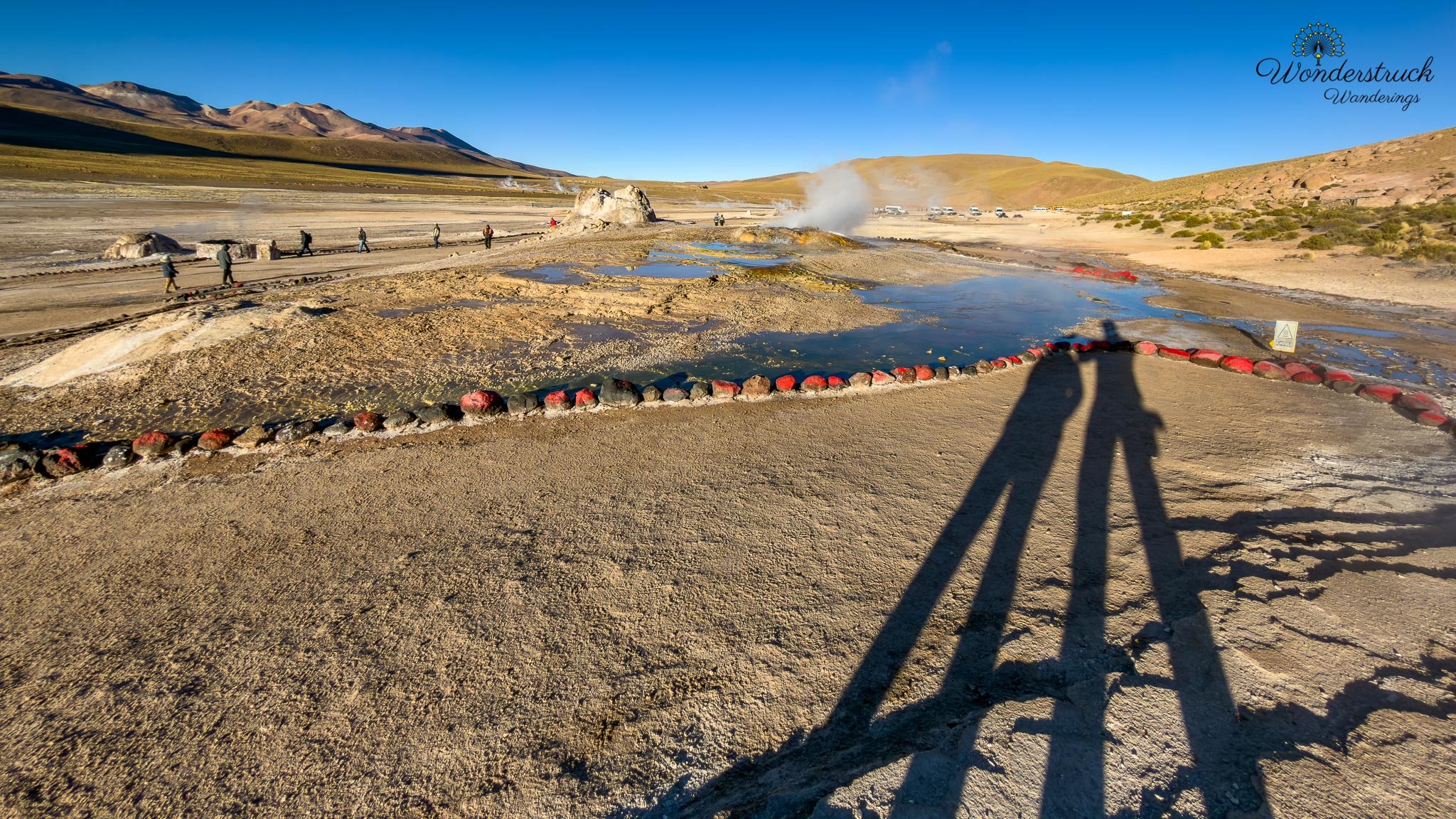
El Tatio does get crowded, and there is no way around that. Tour vans arrive in clusters, guides move groups between platforms, and everyone is bundled in hats, gloves, scarves, and jackets, trying to photograph steam while their hands freeze. But even with the crowds, the place did not feel ruined. The landscape is too strange for that. Between the altitude, the mineral smell, the cold, the steam, and the first light touching the Andes, El Tatio still feels like one of those places where the earth is visibly breathing. But if you have a guided tour make sure they know where to stand at the right moment.
High-Altitude Birds, Vicuñas, and Breakfast Outside the Park
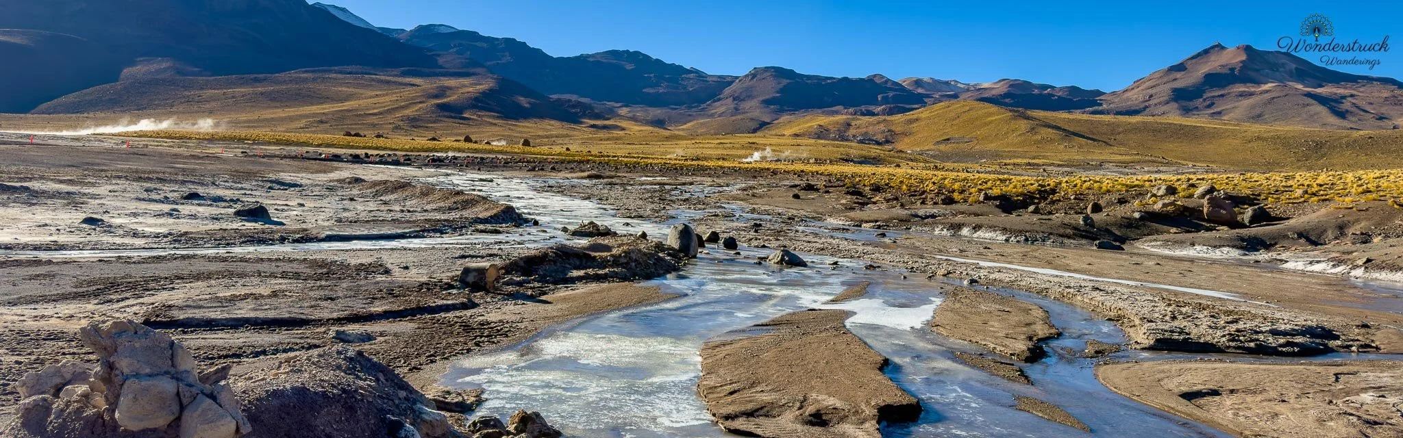
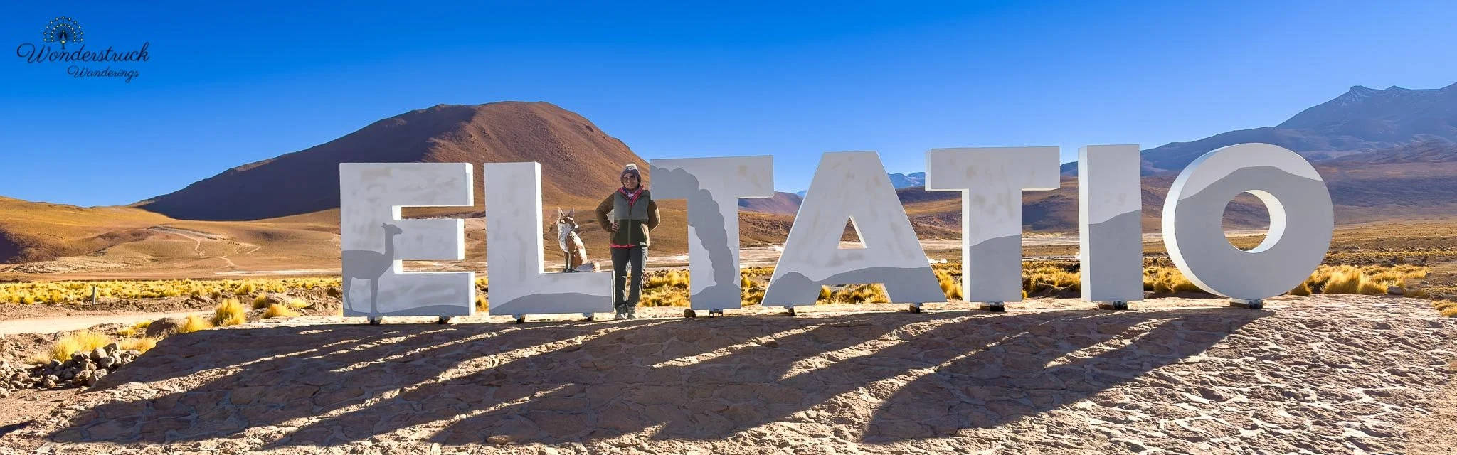
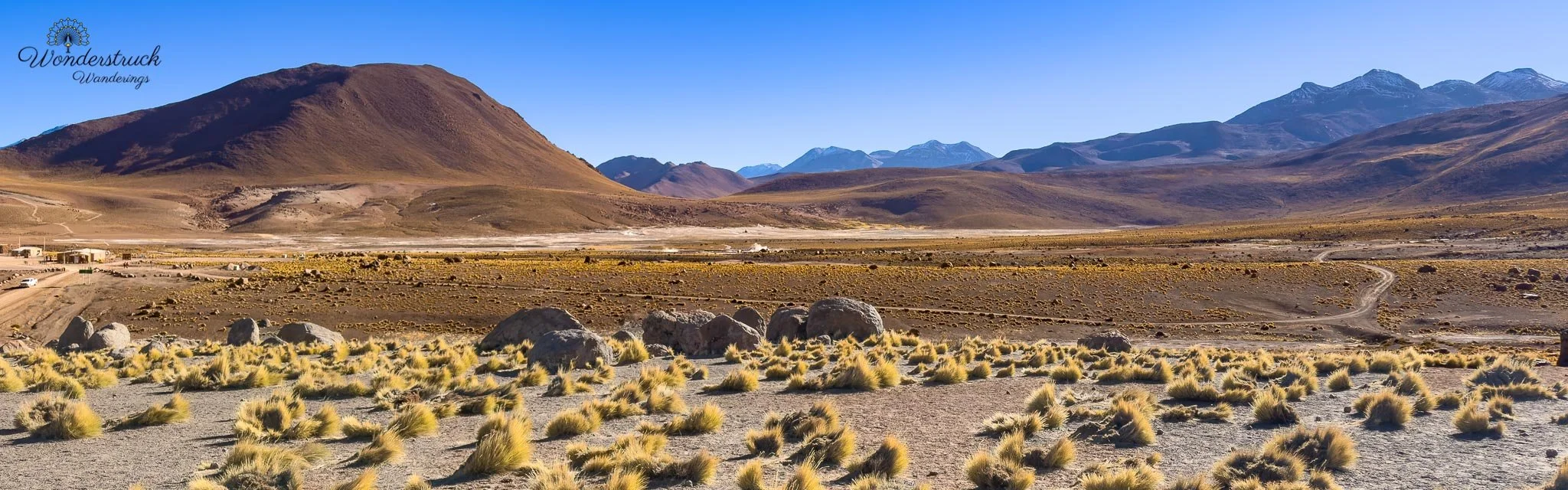
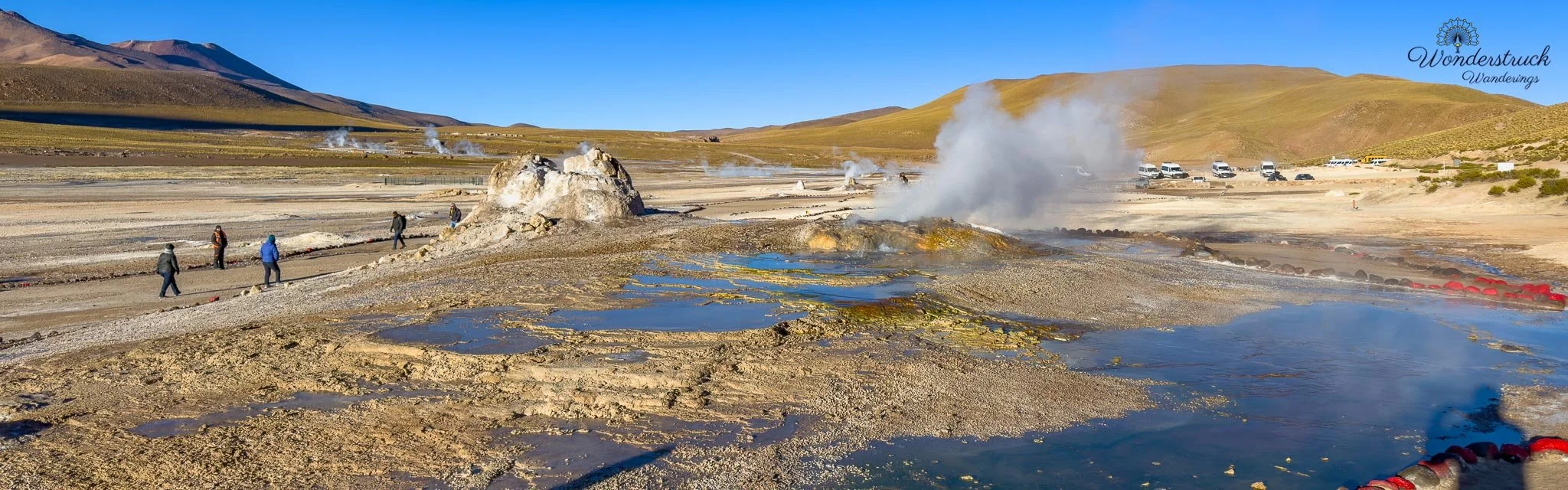
Birding continued around the geyser field before we left El Tatio. Around the geothermal area, we spotted Andean Gull and Spot-billed Ground-Tyrant, while the surrounding highland habitat also gave us Red-backed Sierra Finch and Plumbeous Sierra Finch. The Andean Gulls were the first surprise. Gulls in a high-altitude geothermal field feel almost misplaced at first, especially when you are standing among steam vents, mineral pools, freezing puna air, and dark volcanic ground. But once you remember how closely these birds follow Andean wetlands, hot springs, and high-elevation water sources, their presence starts to make perfect sense. One of our favorite smaller bird moments was the Spot-billed Ground-Tyrant moving around near the warm geothermal edges. It was not flashy, but it belonged perfectly to the scene: a subtle high-Andean bird working through a stark geothermal landscape of steam, cold air, mineral crust, and bubbling water.
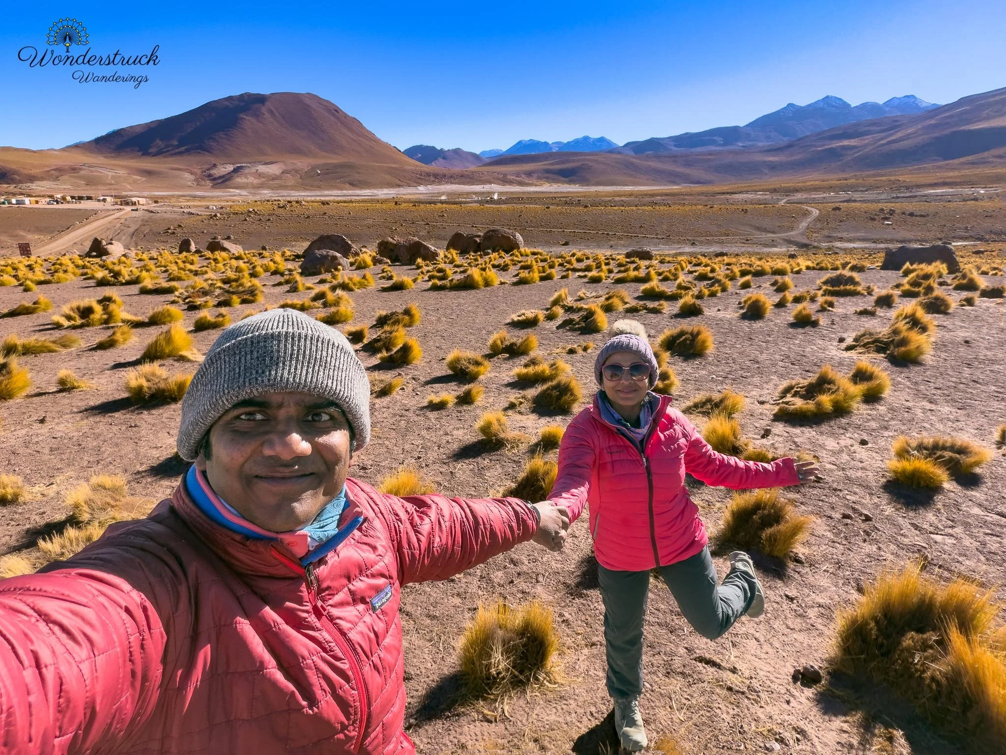
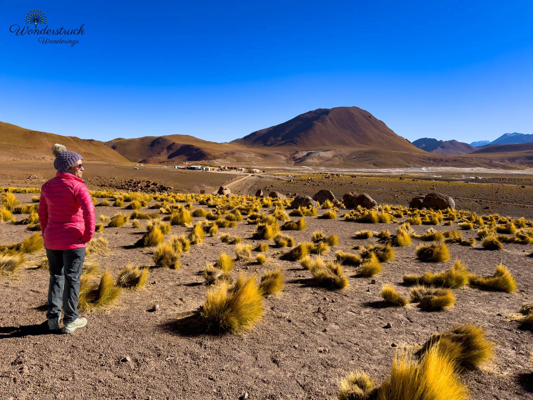
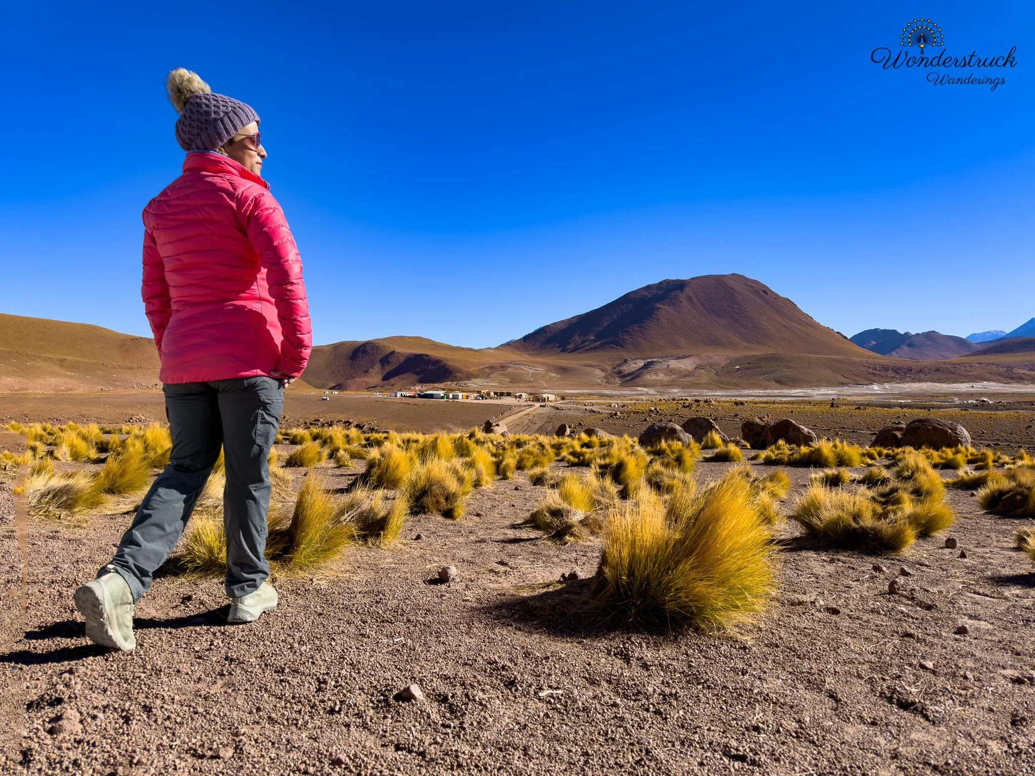
After the bigger drama of the geysers, it was a quieter reminder that El Tatio is not only a geothermal attraction, but also part of a living highland ecosystem. We kept scanning the open slopes and flats for suri, or Darwin’s Rhea, but had no luck. We also looked for fox, which would have been wonderful against that steaming highland backdrop, but that did not happen either. We did see vicuñas, and they felt completely at home in the scene—slender, alert, and perfectly matched to the cold, open plateau. We also kept an eye out for the rabbit-like mammals of the high Andes, the viscachas, which are often described by travelers as looking like a cross between a rabbit and a chinchilla. Even when they do not show, they are the kind of animal you imagine perfectly in this landscape: tucked among rocks, watching the puna quietly while the steam rises behind them. Food is not allowed inside the main geyser park, so after finishing the visit, we stepped outside the park boundary and chose a viewpoint for breakfast. Our meal was simple: croissants from La Franchutería, eaten beside the car in the cold highland air. This is one place where a guided tour does have a real advantage. Many tours include a hot breakfast, and after a freezing sunrise at more than 4,000 meters, that can sound very appealing. That said, not all tours seemed equal. Some groups clearly reached the best spots at the right time, while others were still moving around after the strongest steam and sunrise light had already faded. Like everything in the Atacama, timing matters. Whether you self-drive, join a group tour, or book a private guide, El Tatio rewards being in the right section before the light changes.
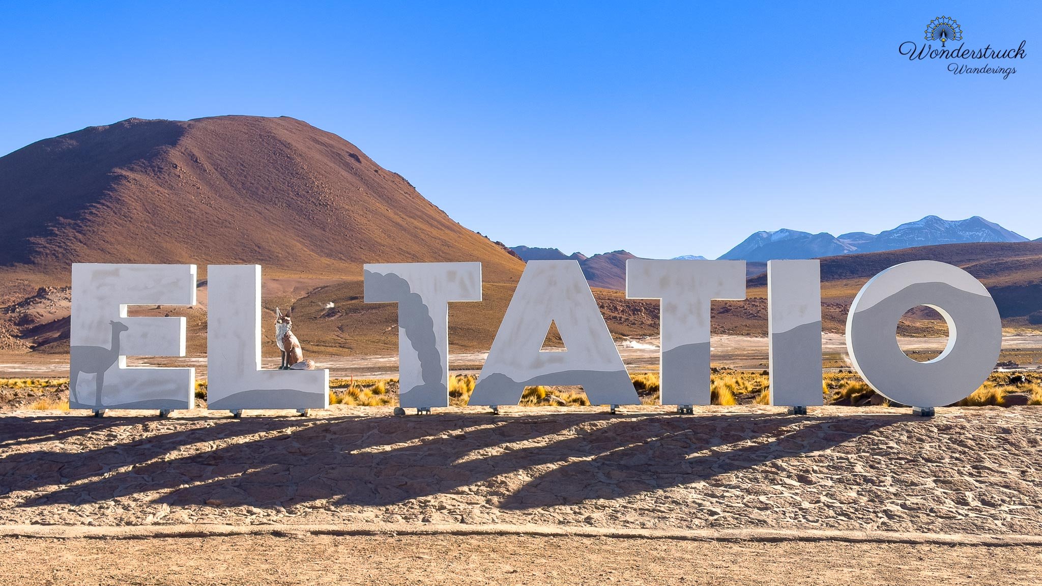
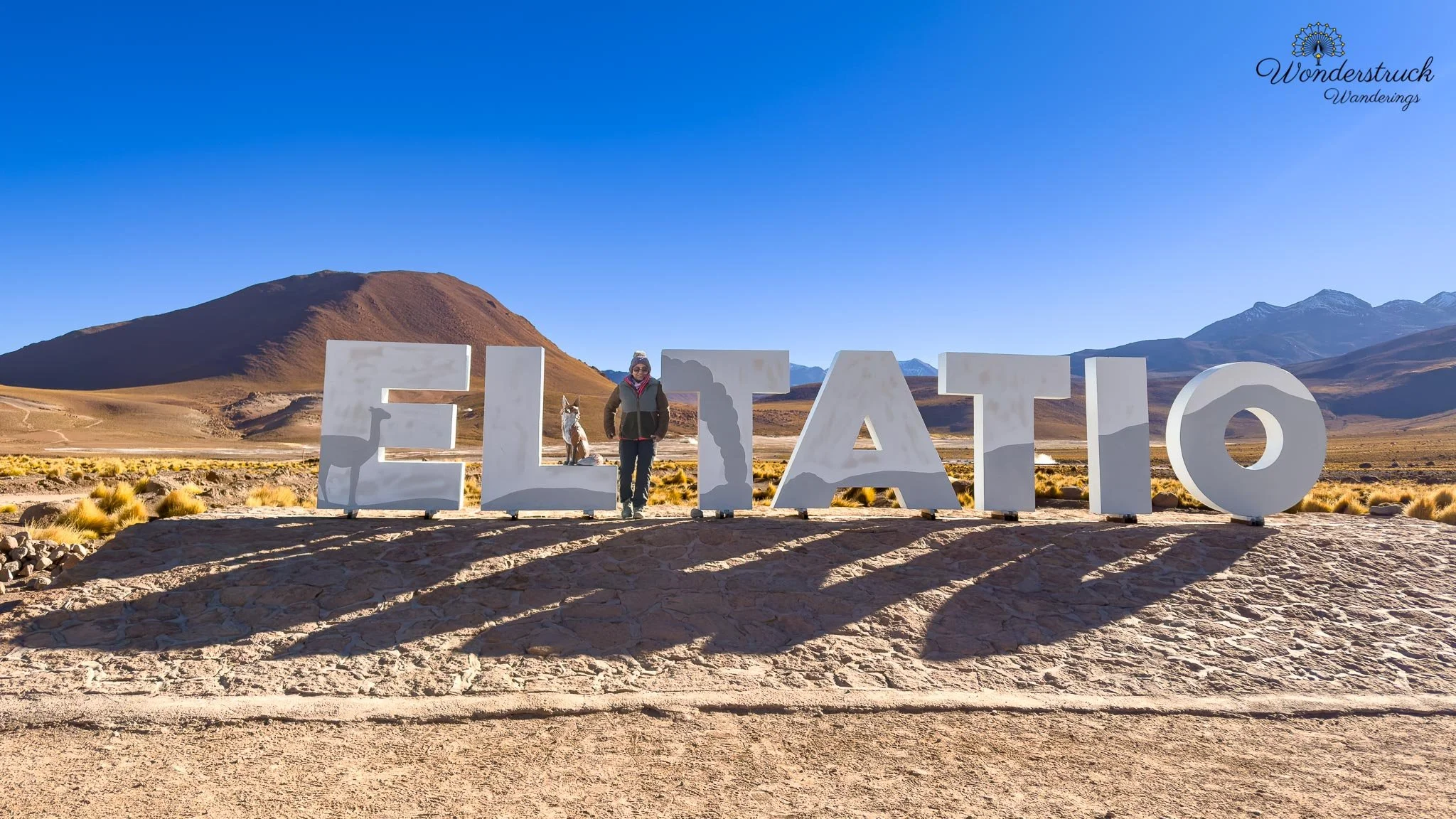
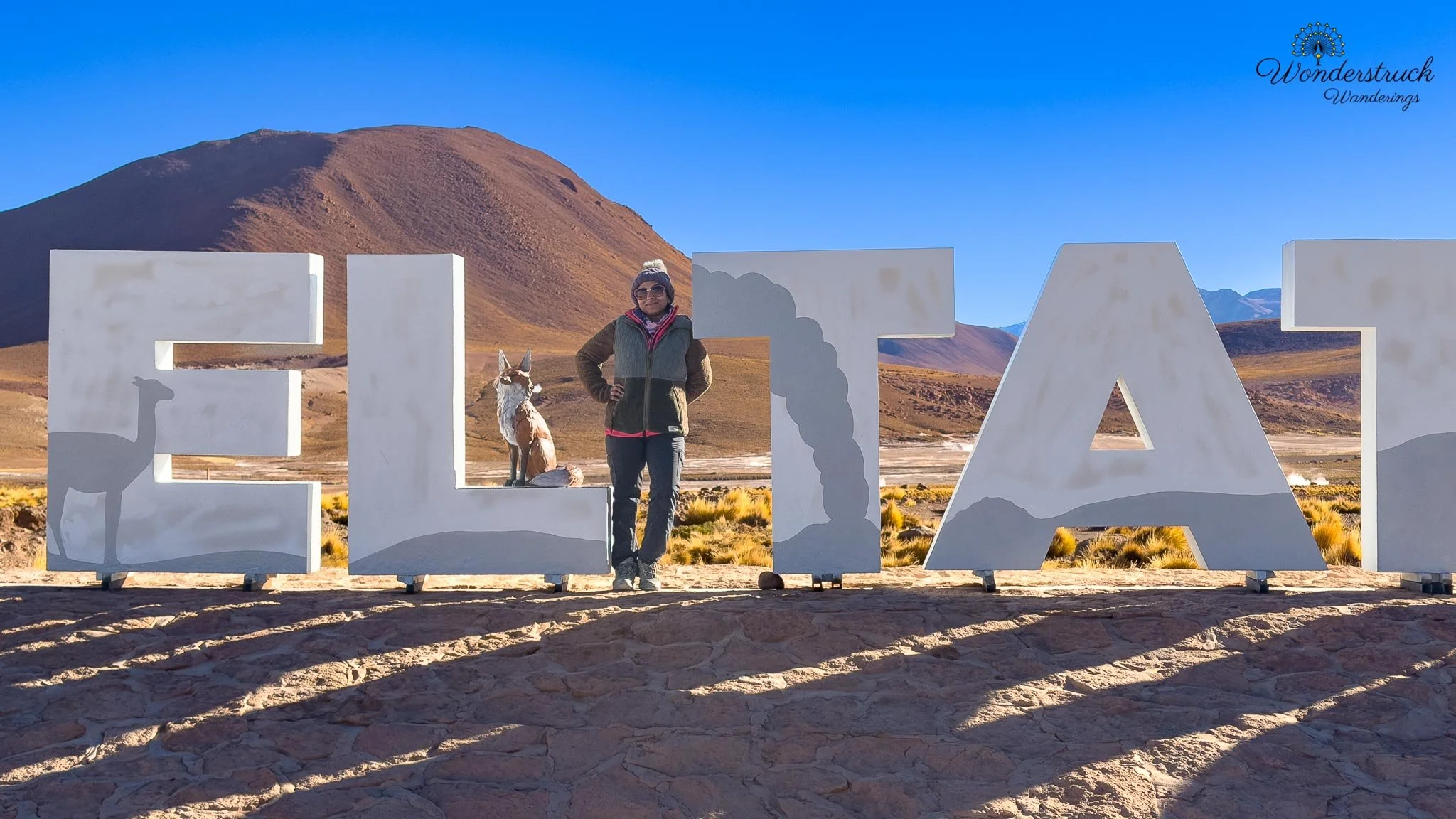
Vado Rio Putana and Machuca Village
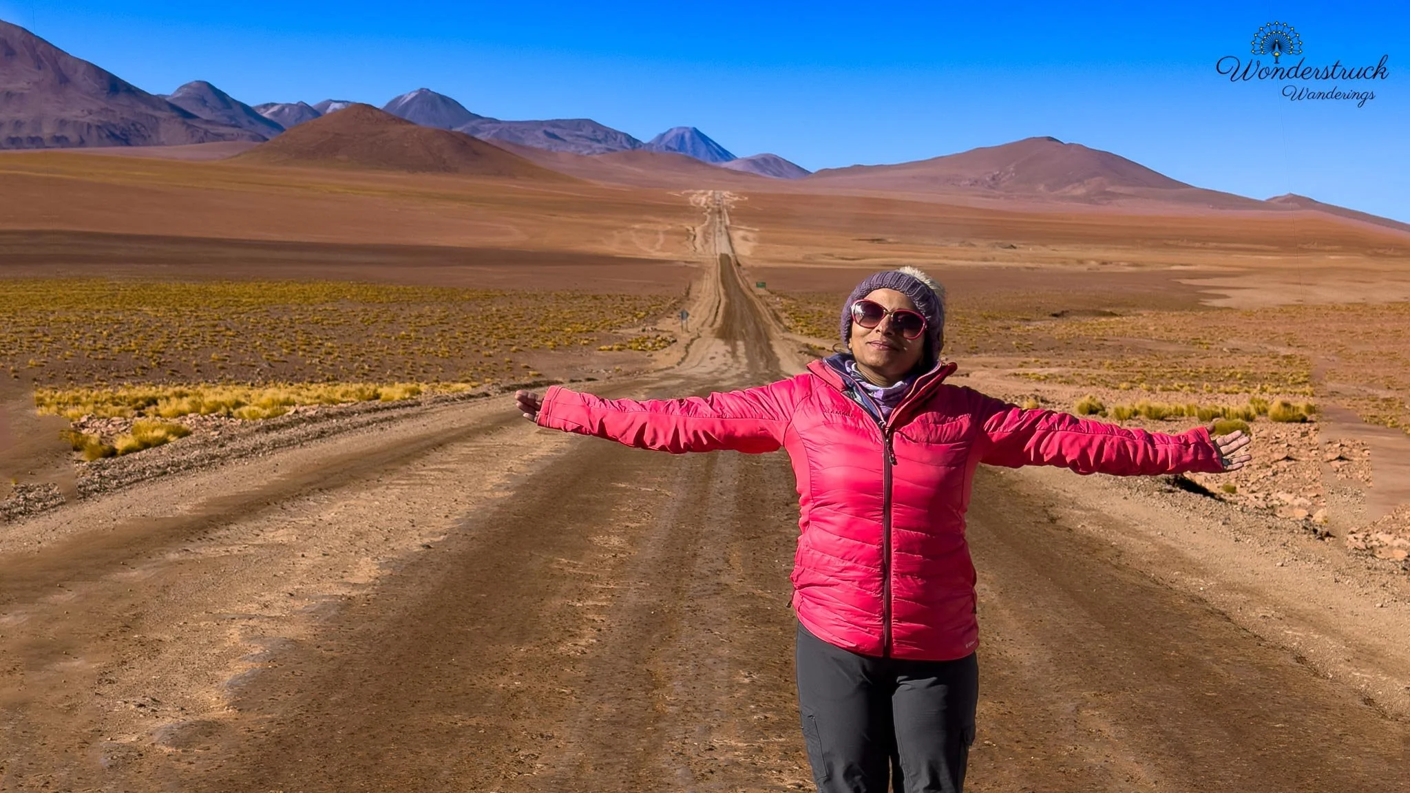
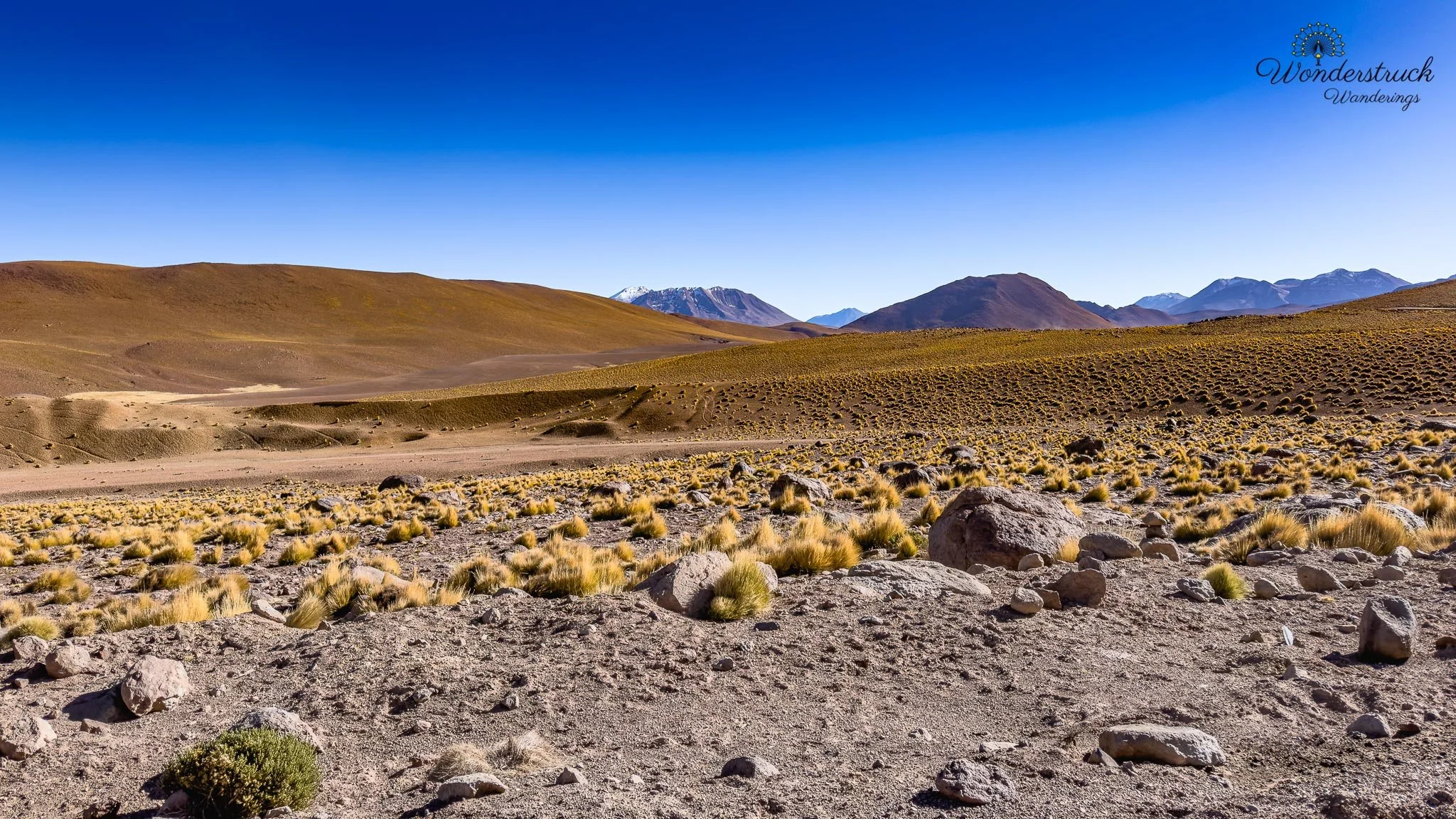
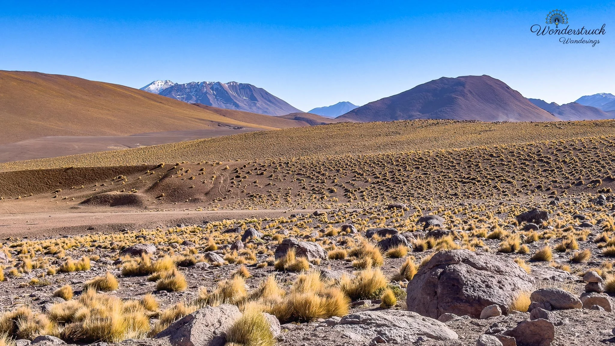
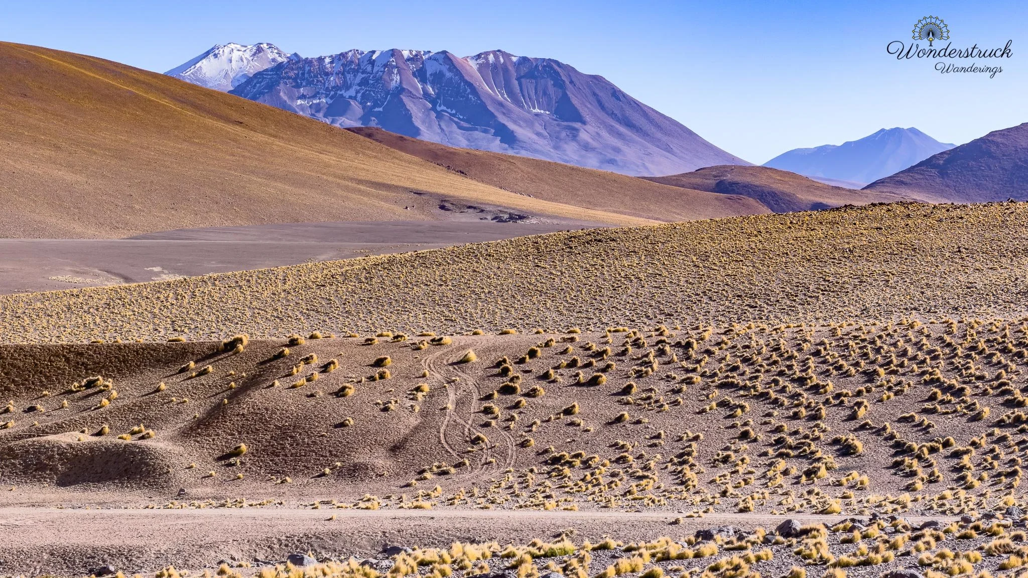
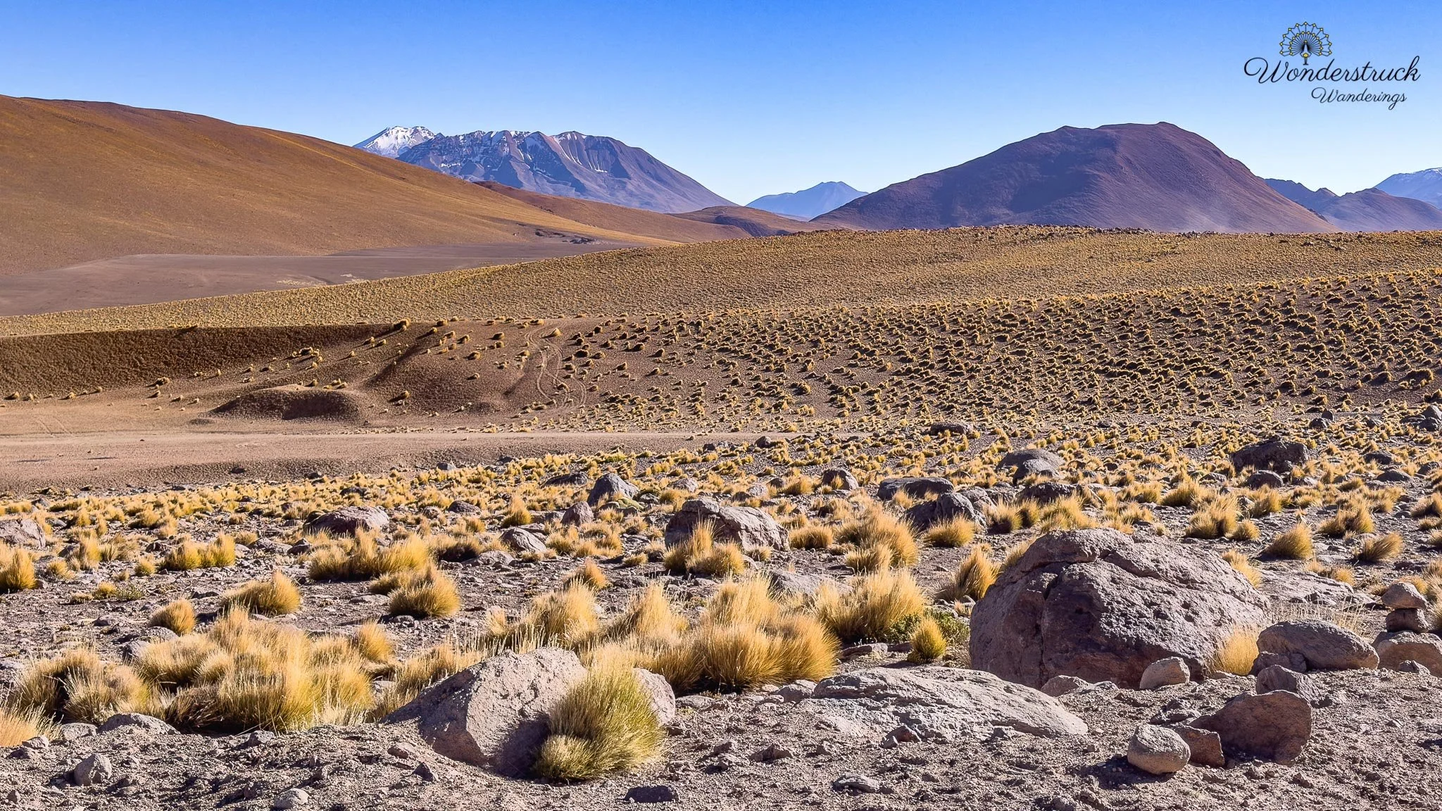
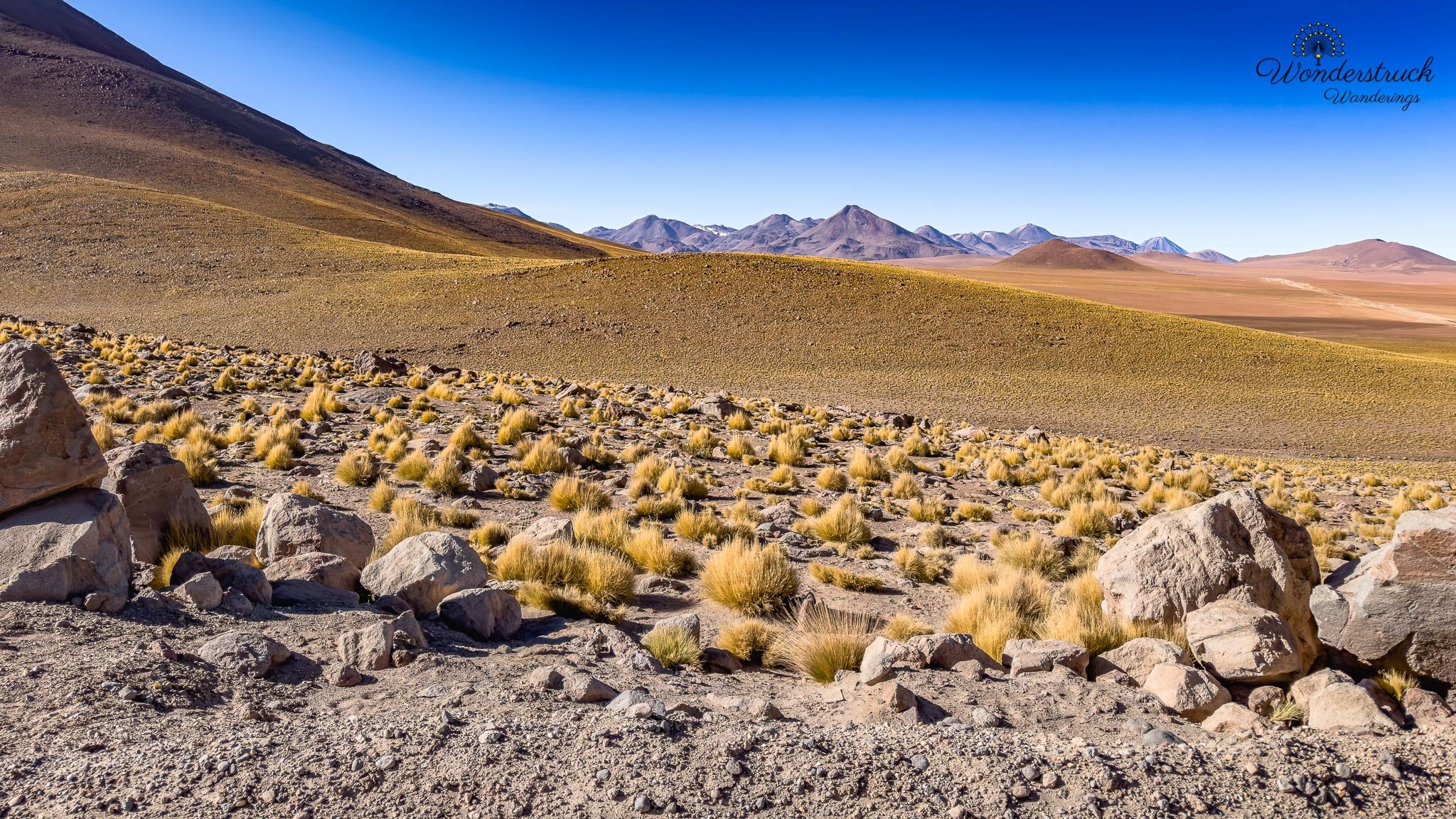
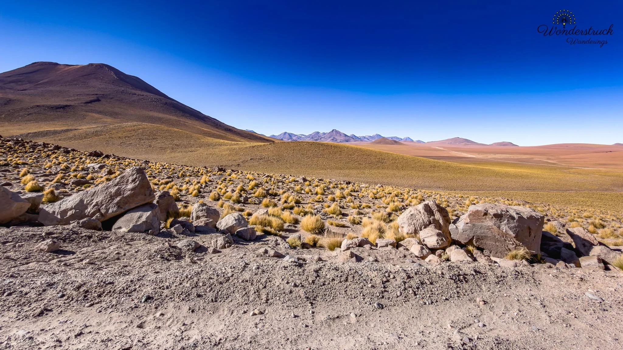
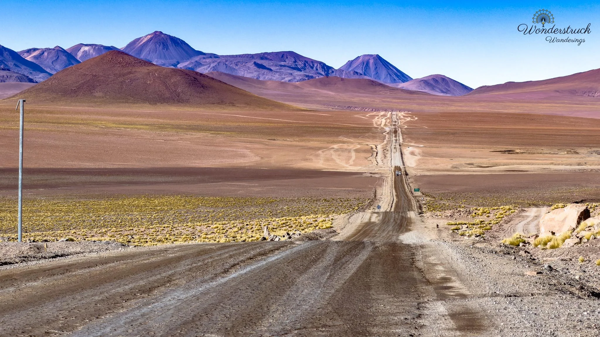
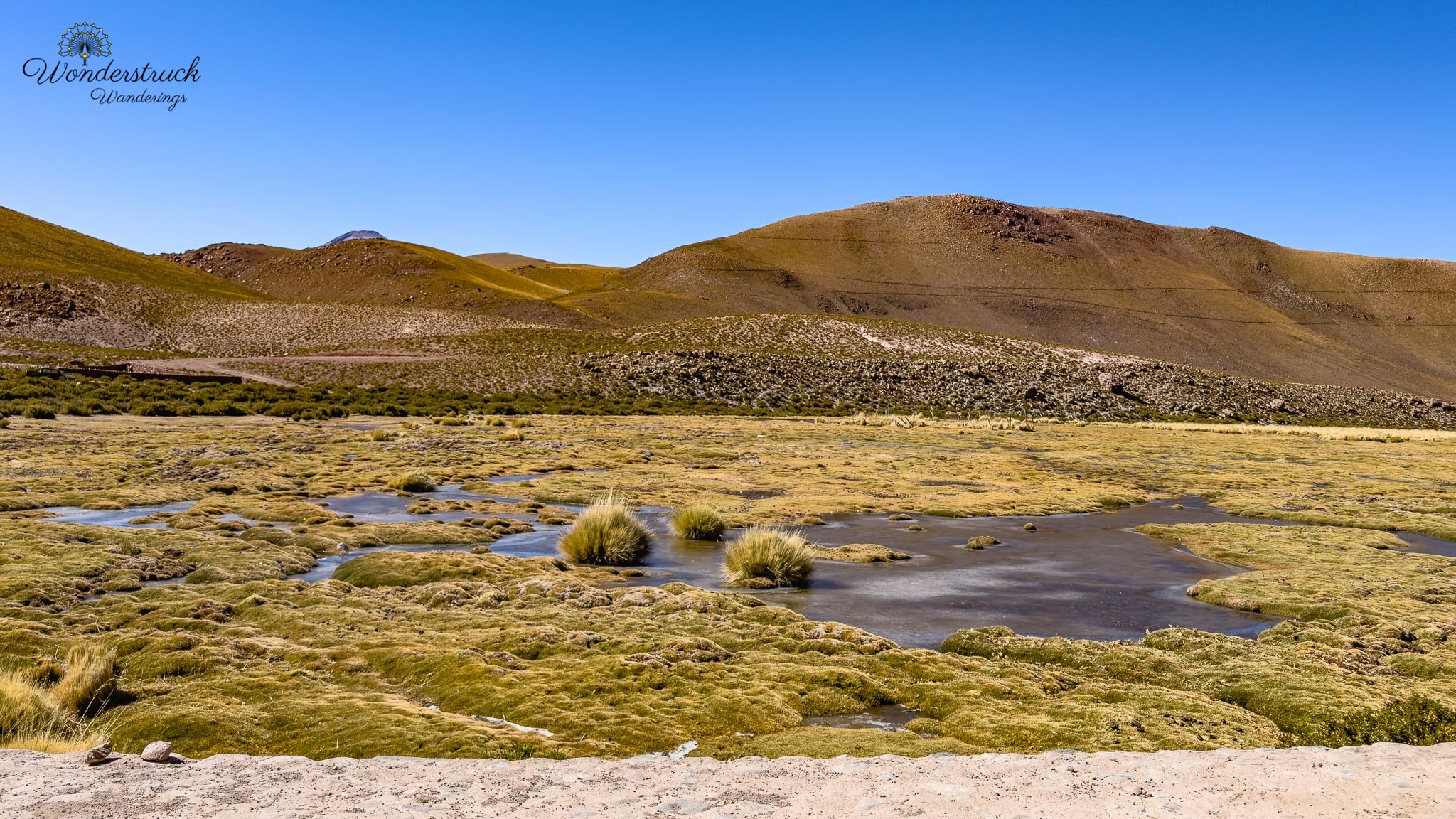
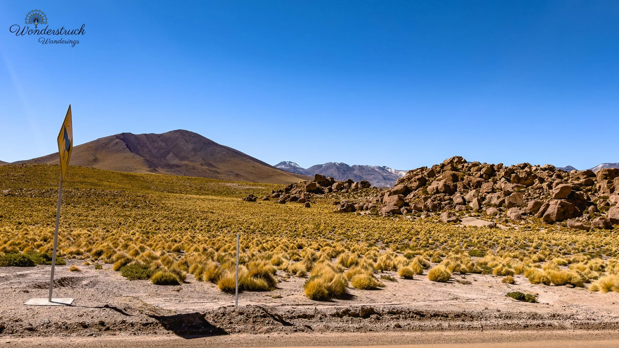
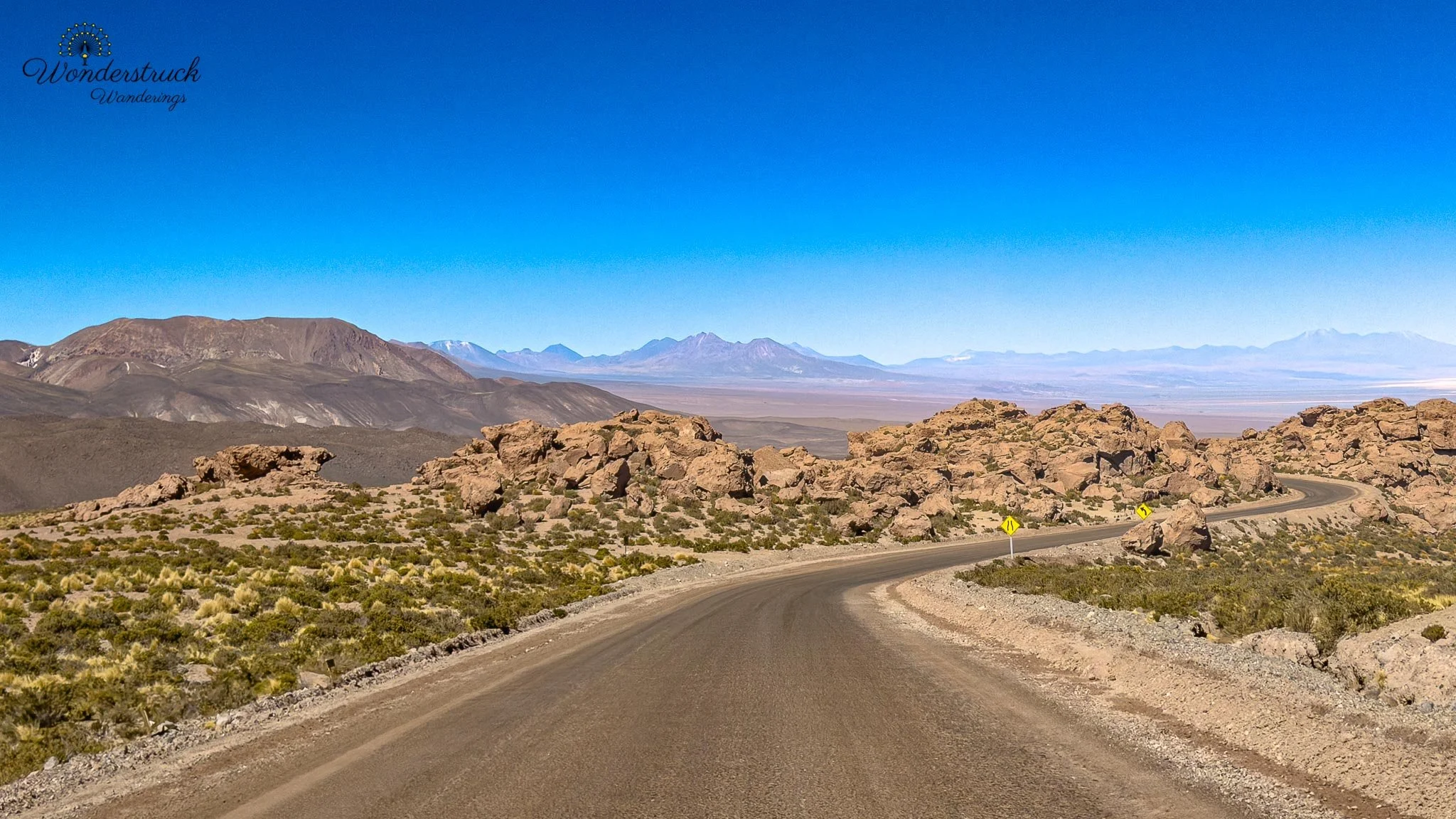
Once we started driving back down, the route looked completely different. In the dark, the road had been mostly concentration and headlights. In daylight, the vistas were spectacular. The drive from El Tatio back toward Machuca opened into wide Andean scenery: volcanic slopes, pale grasses, distant ridges, vicunas, wetlands, and the sense of descending slowly from a colder, thinner world. On the way toward Machuca, we reached Vado Rio Putana, a high-Andean wetland area that turned into one of the best birding stops of the morning. The road curves sharply around the area, and the wetland immediately looked productive. We tried to park on the side and were planning to walk along the road for better birding angles, but a park ranger quickly came over and told us we needed to remain with the car and only stop along the road to watch birds or take photos. Fair enough. It is a sensitive area, and the traffic pattern is not built for people wandering freely along the roadway.
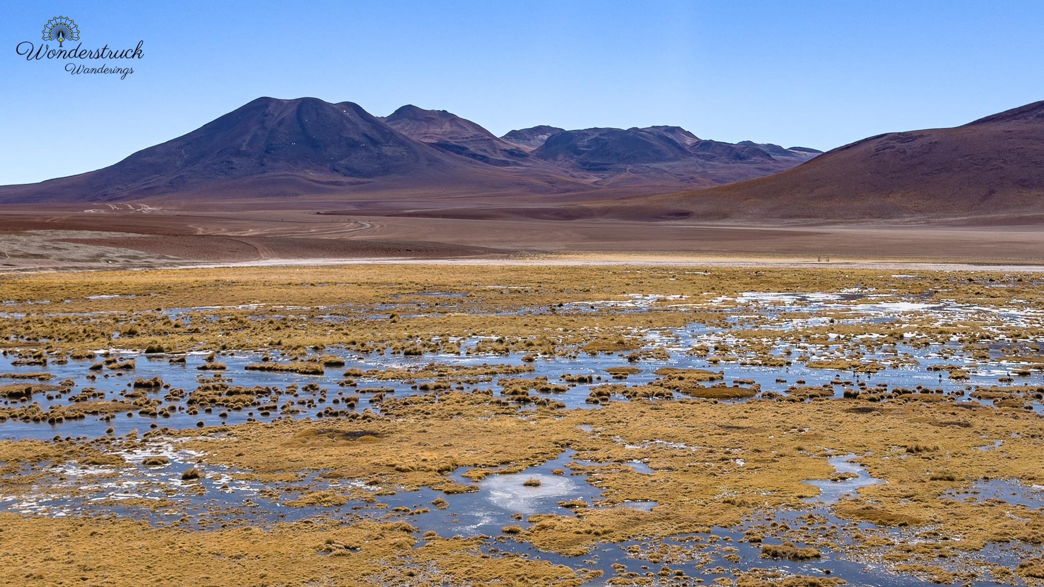
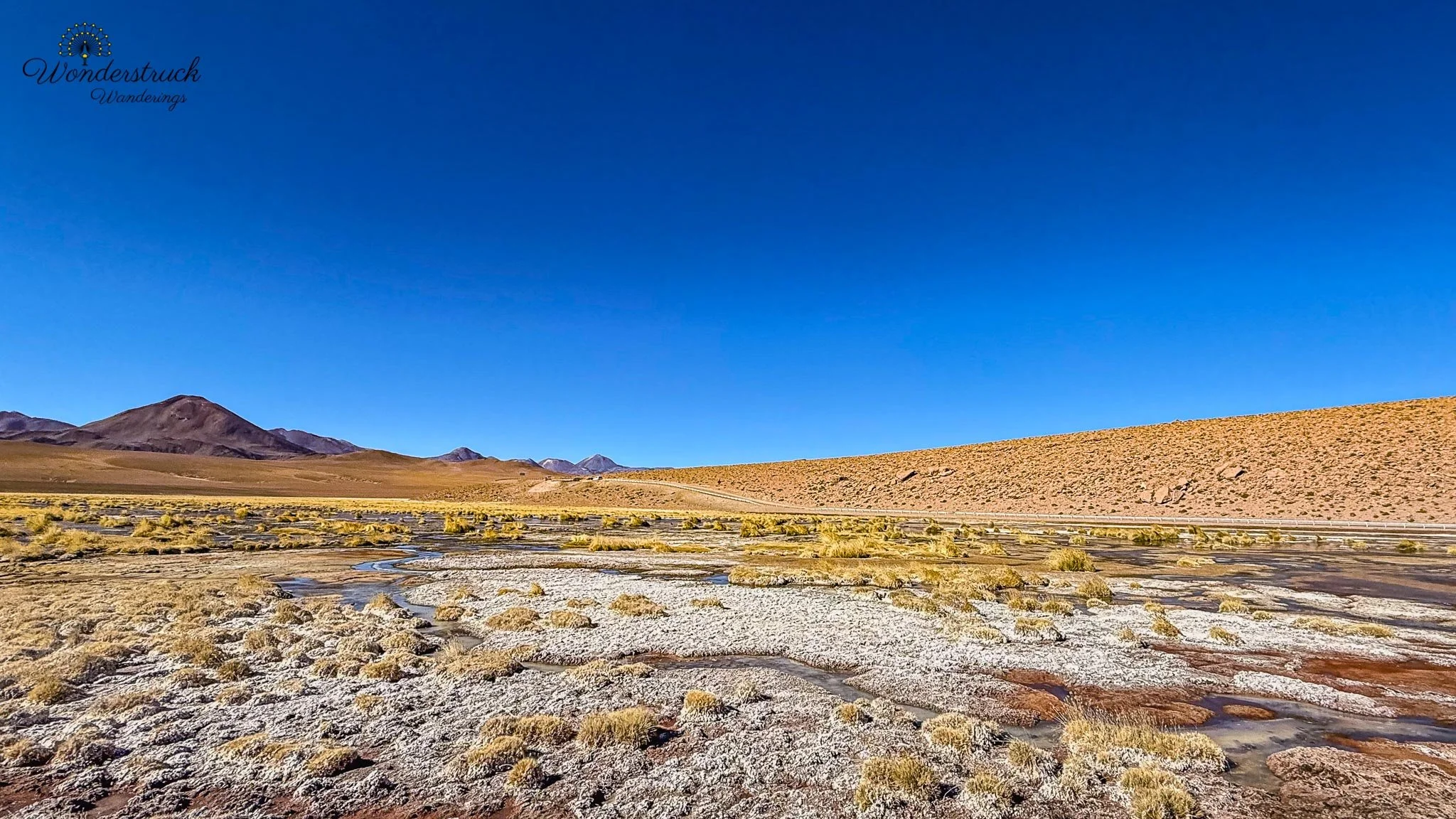
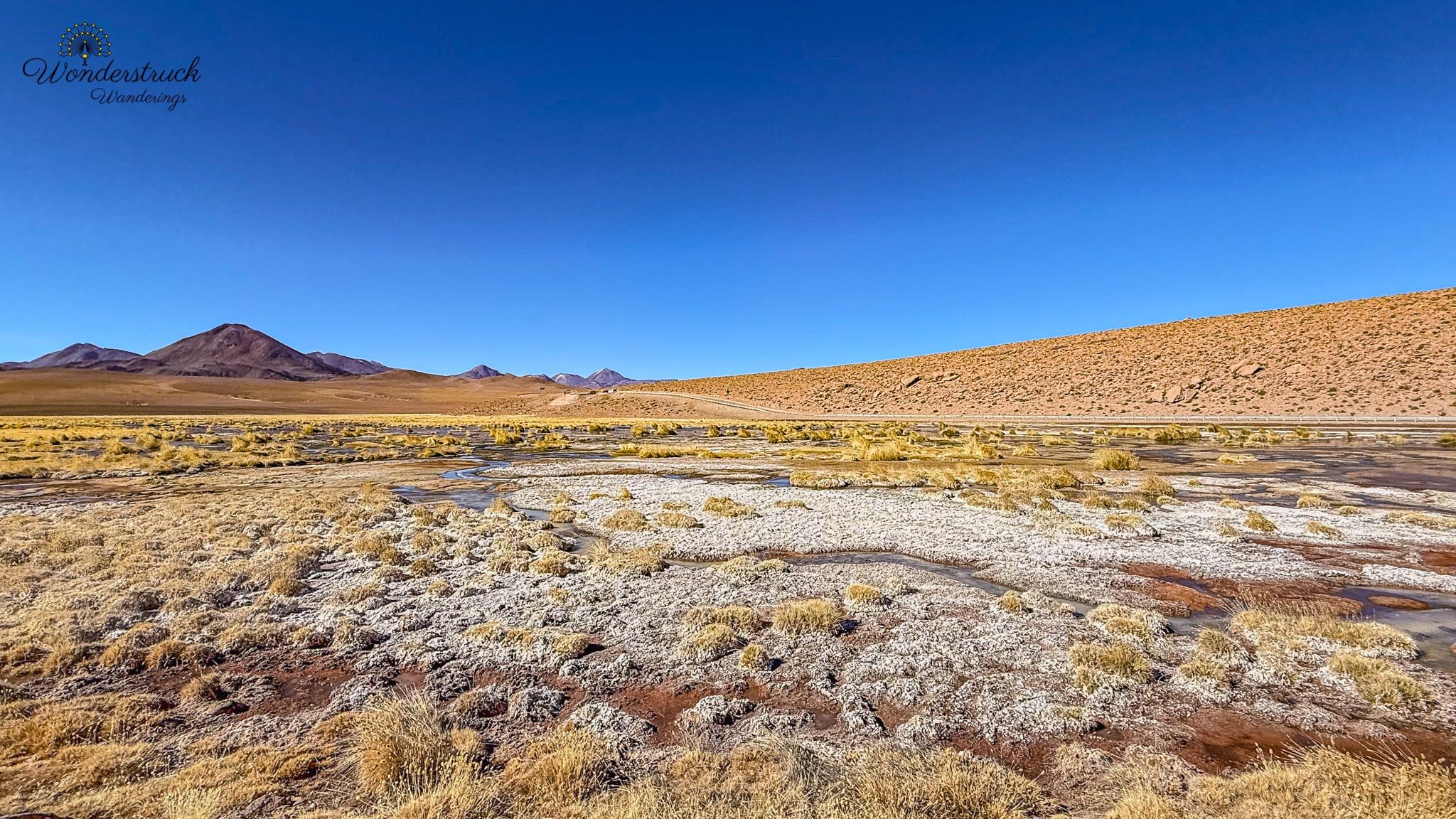
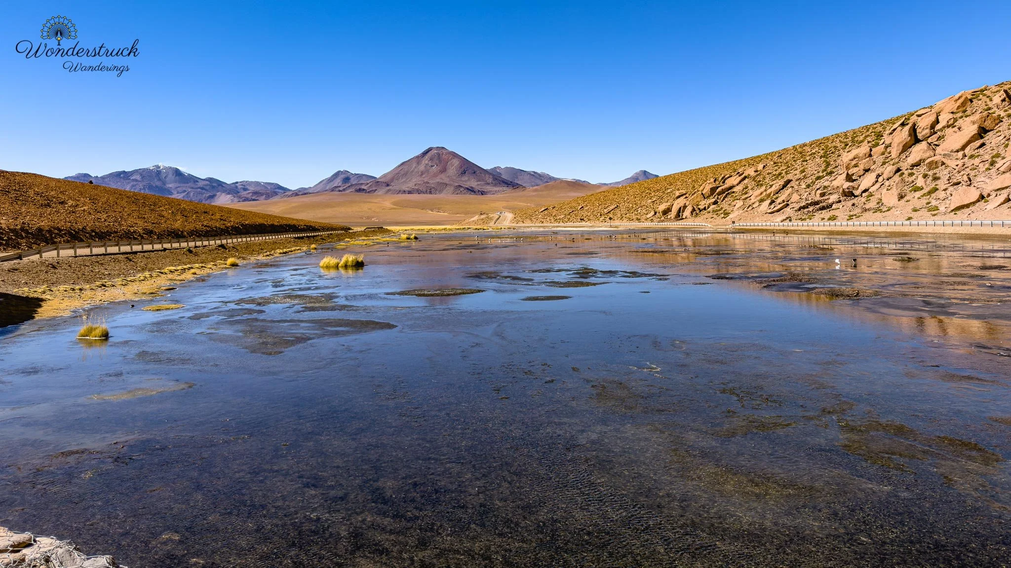
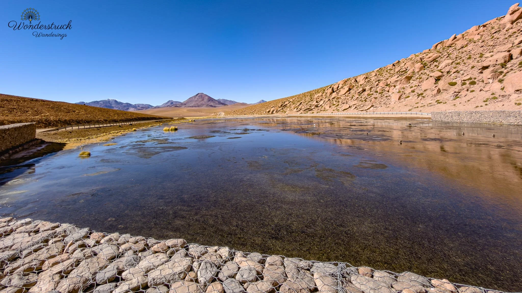
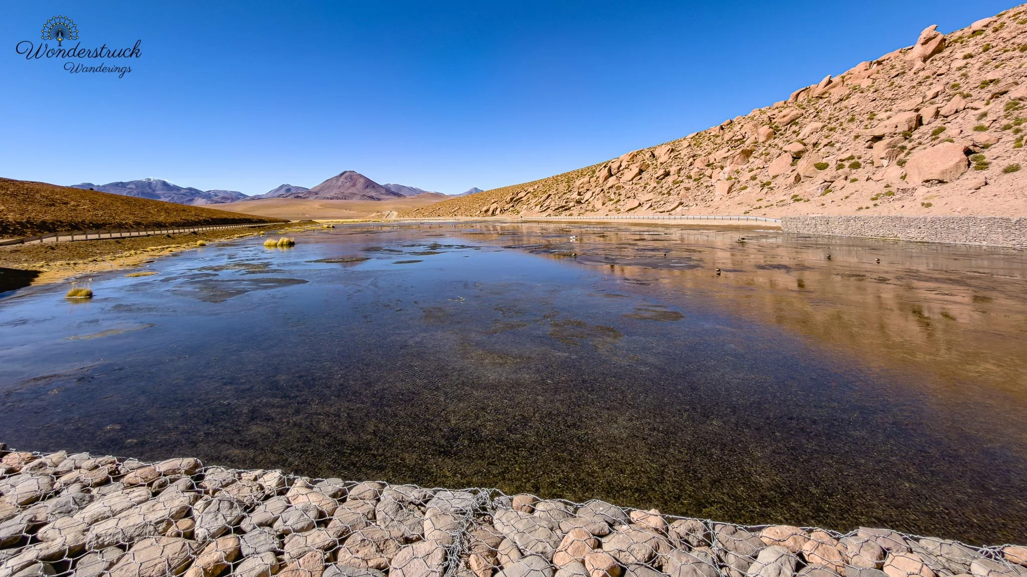
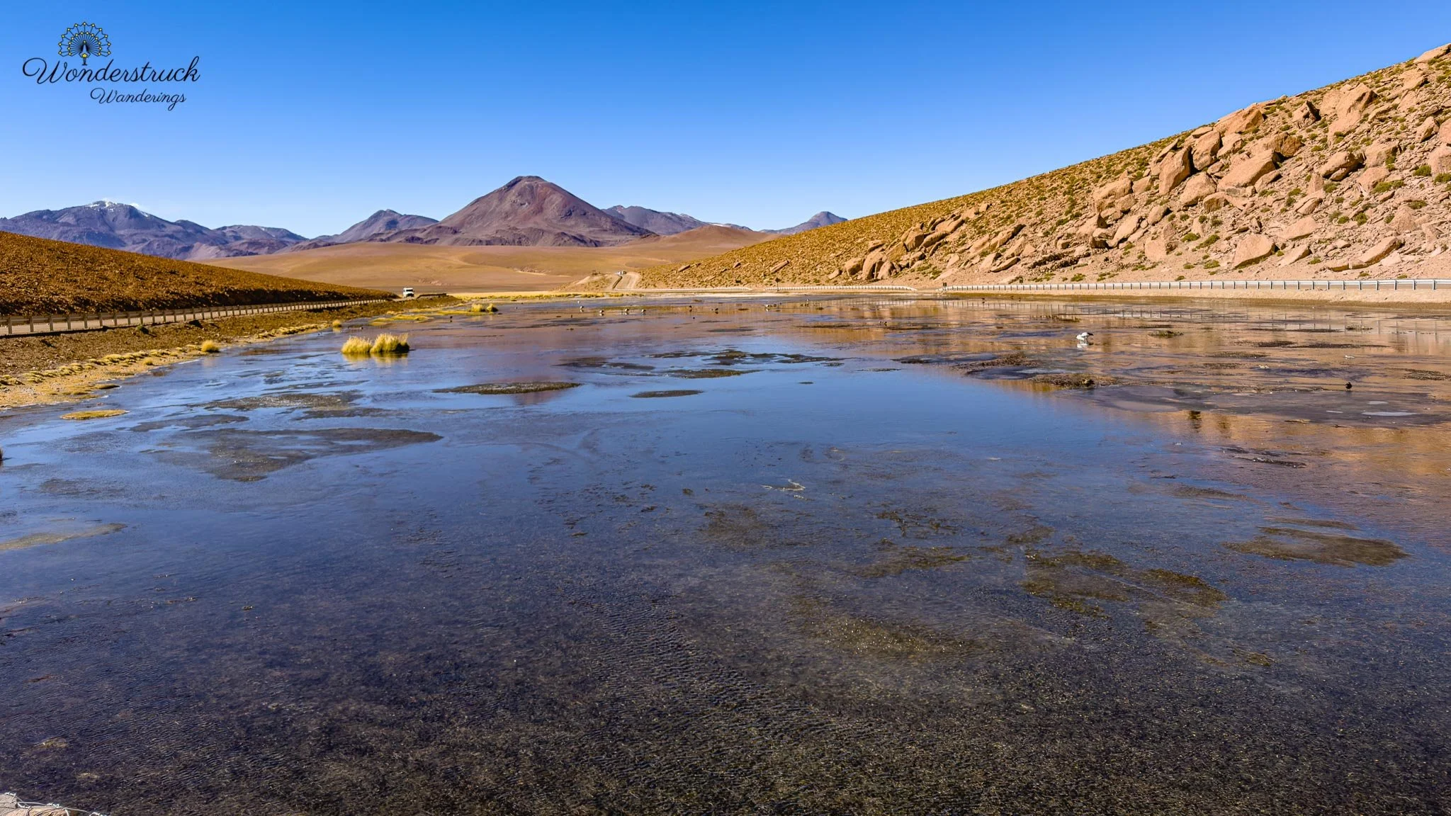
Even from the car, Vado Río Putana was excellent. After the steam, mineral pools, and cold geothermal drama of El Tatio, this wetland felt alive in a completely different way. Water spread through the high-Andean grassland, birds moved across the open pools, and every scan seemed to add something new. Here we spotted Andean Goose, Crested Duck, Puna Teal, Yellow-billed Teal, Giant Coot, and Spot-billed Ground-Tyrant. The Andean Geese were one of the highlights of the stop—clean, handsome, high-altitude birds that stood out beautifully against the wetland vegetation. The Giant Coots gave the place that classic Andean lagoon feeling. They are big, bold birds, and they always seem to carry themselves as if the water belongs to them.The ducks were also worth slowing down for. Puna Teals and Yellow-billed Teals worked the calmer water, while Crested Ducks added another layer to the highland wetland mix. And then, as a nice link back to the geyser field, another Spot-billed Ground-Tyrant appeared in the open habitat.
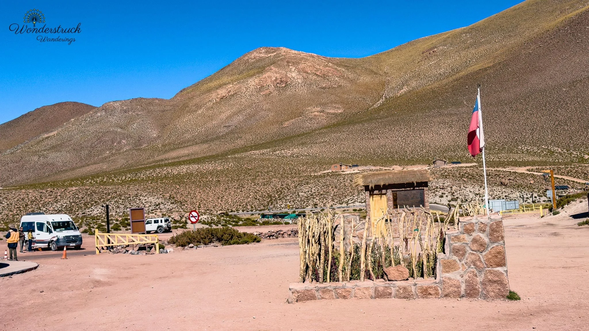
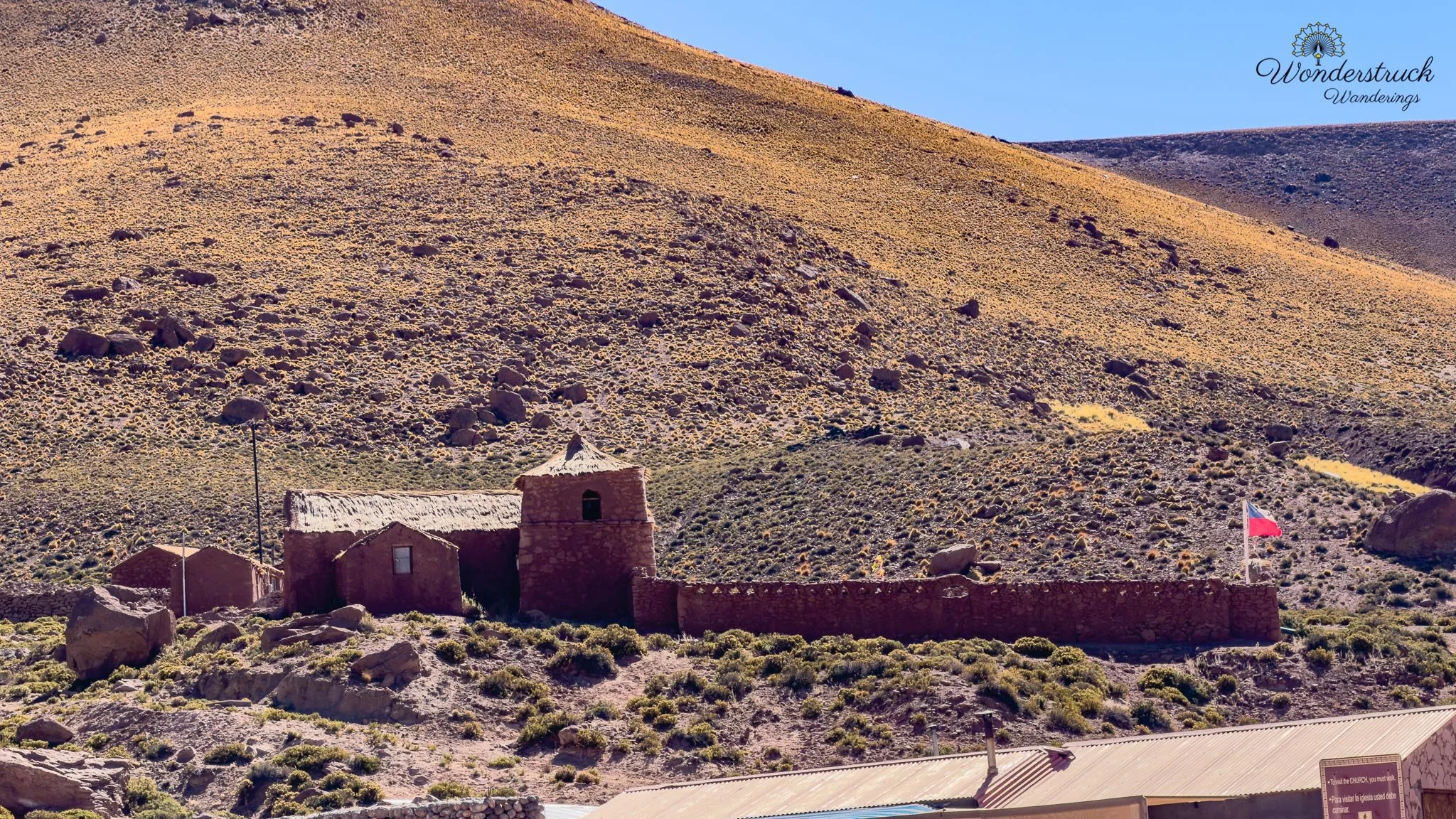
From there, we continued to Machuca village, a tiny Andean settlement near the route between San Pedro and El Tatio. It is a common stop for travelers coming back from the geysers, and by the time we arrived, the village had that post-tour energy: people warming up, looking for snacks, using facilities, and taking photos of the little church. The old church is simple and photogenic, set against the highland backdrop in a way that feels almost staged but is not. Machuca is small enough that you do not need much time there, but it adds a human layer to the route. We also picked up more birds here. Black-hooded Sierra Finches were hanging around the village, along with the kind of finch activity that keeps you scanning even when you are supposed to be just looking at buildings. The combination of old church, highland village, and active little birds made Machuca a surprisingly satisfying stop.
All Three Flamingos, Guatin, and lunch at La Franchuteria
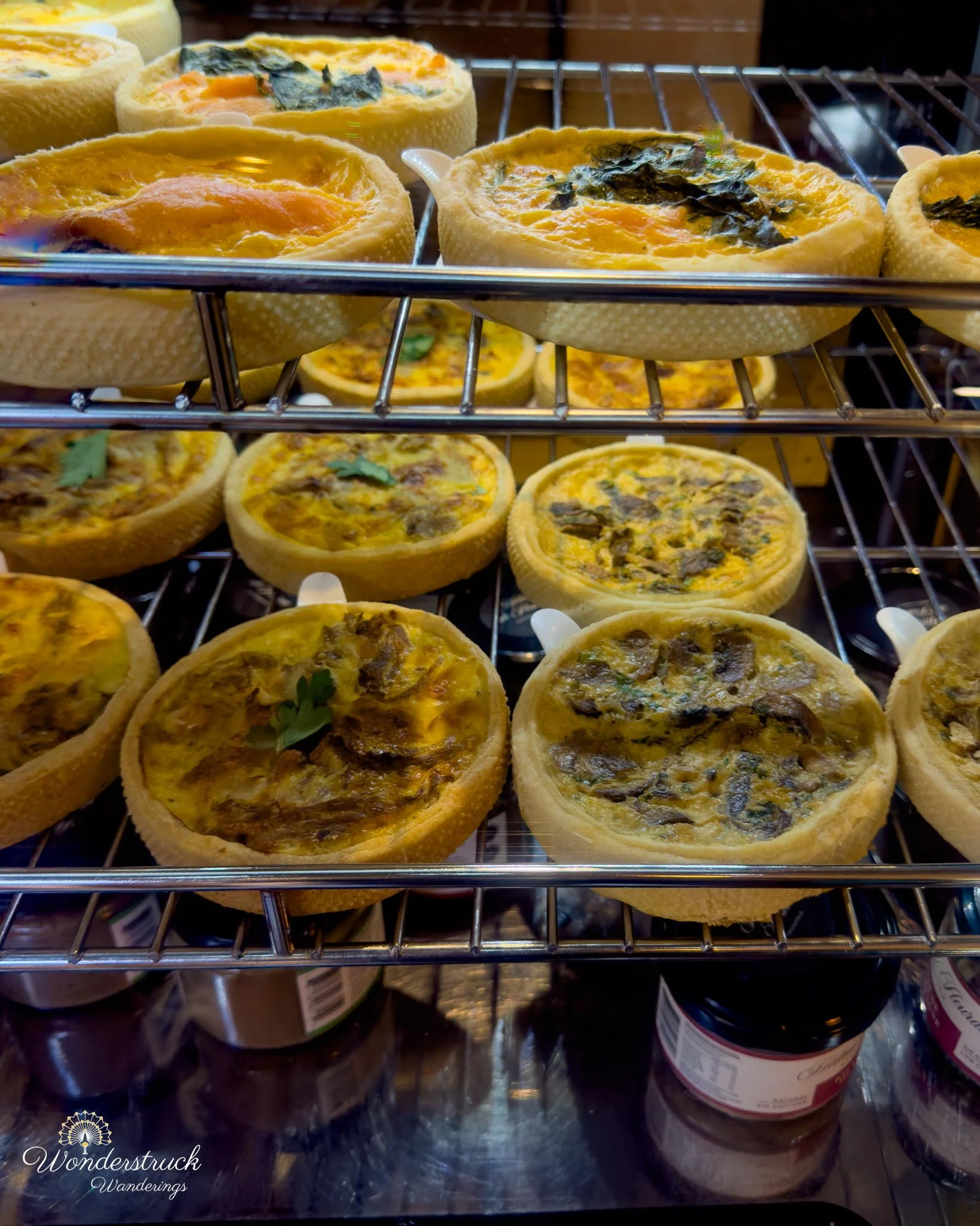
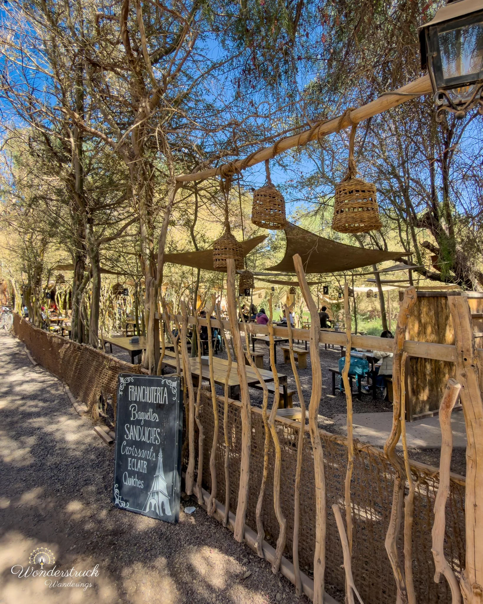
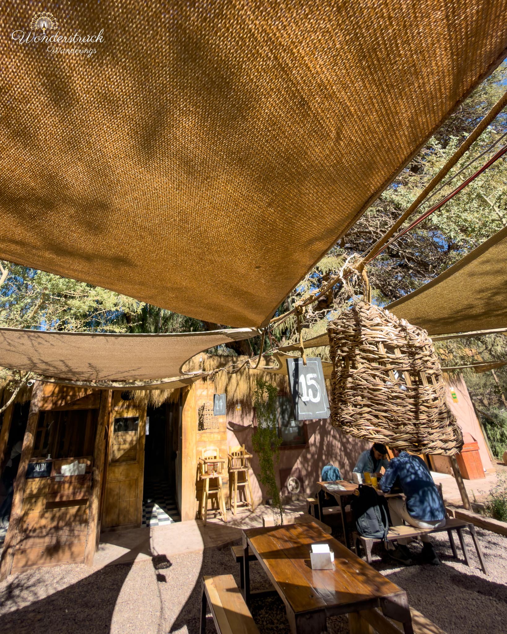
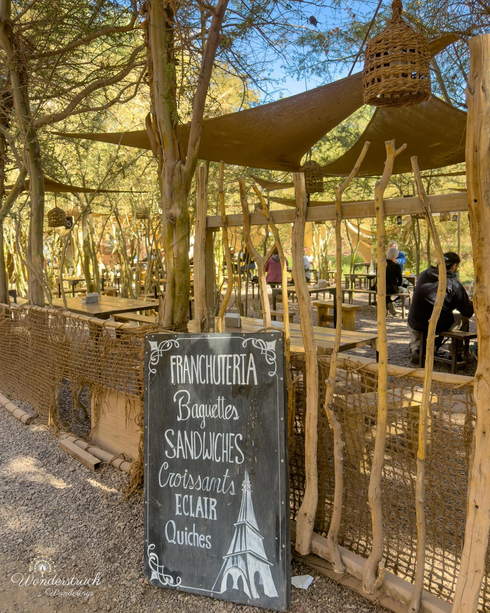
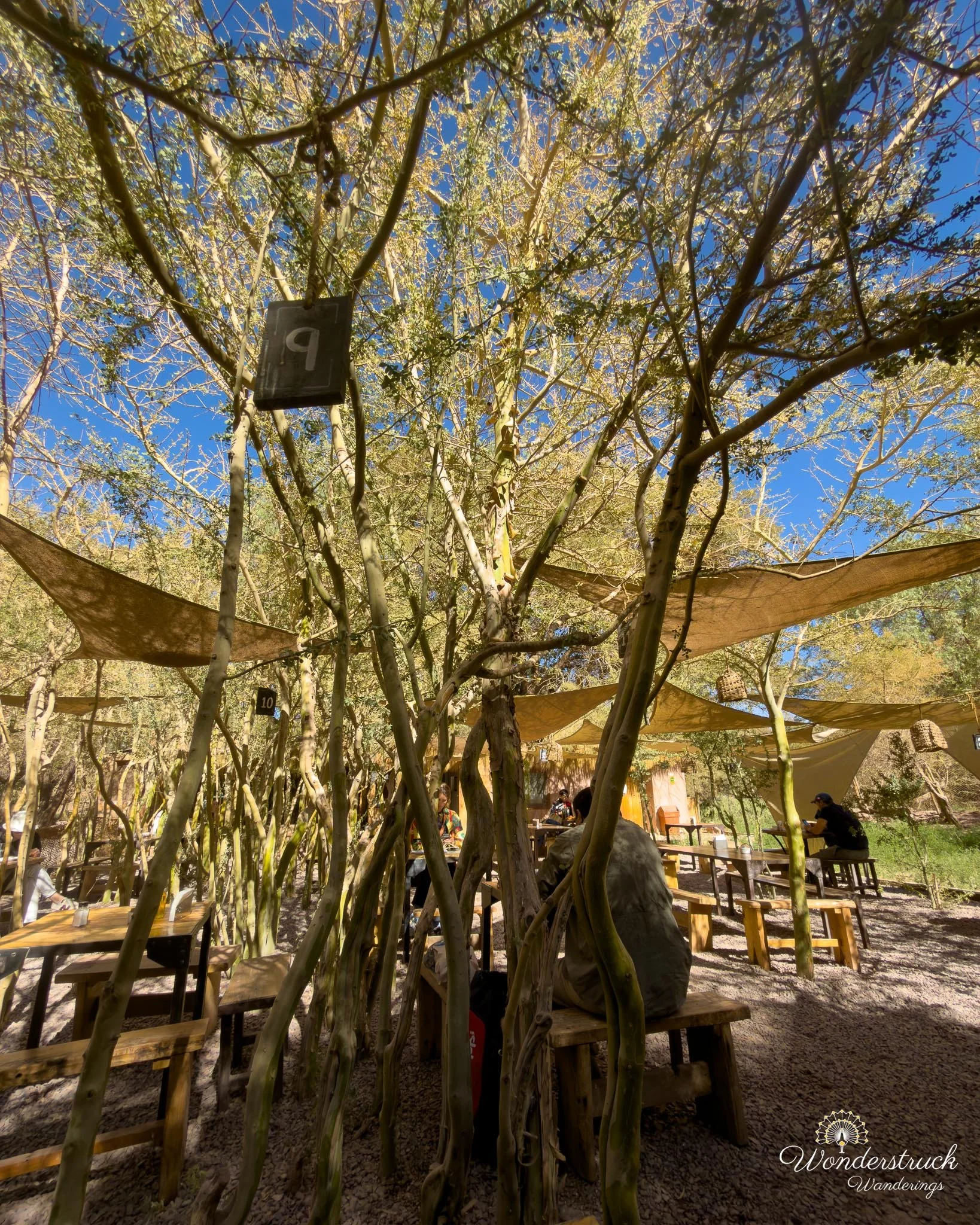
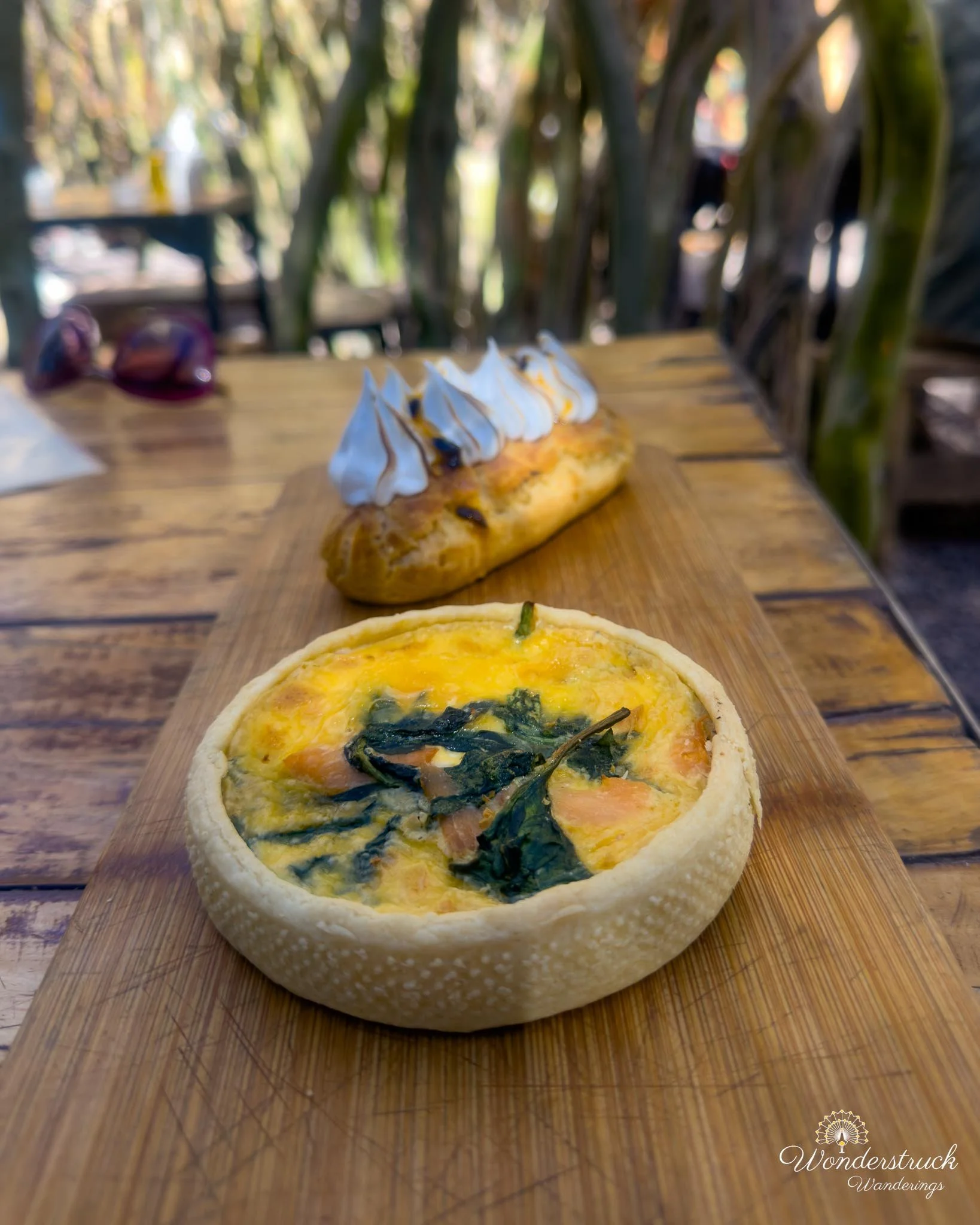
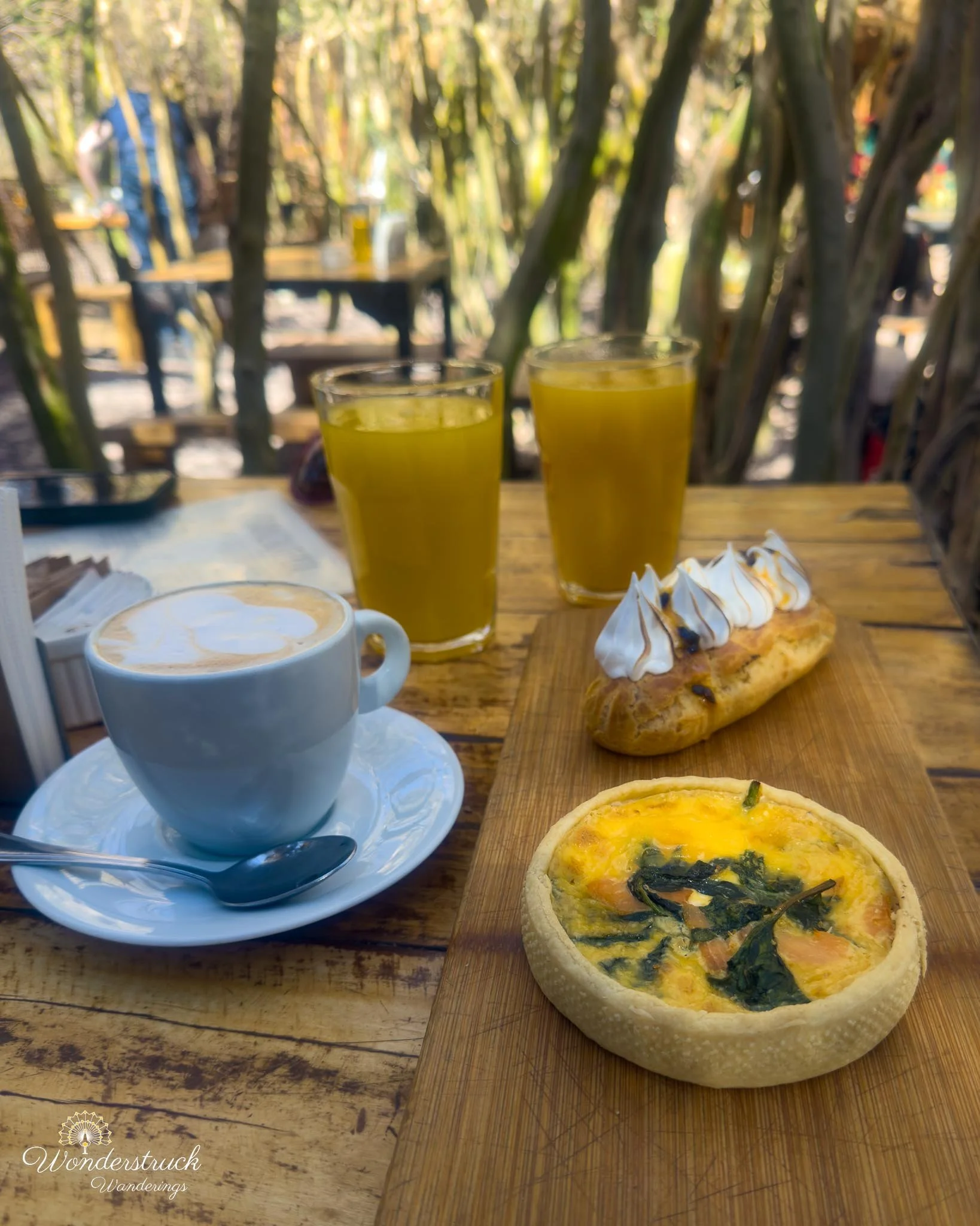
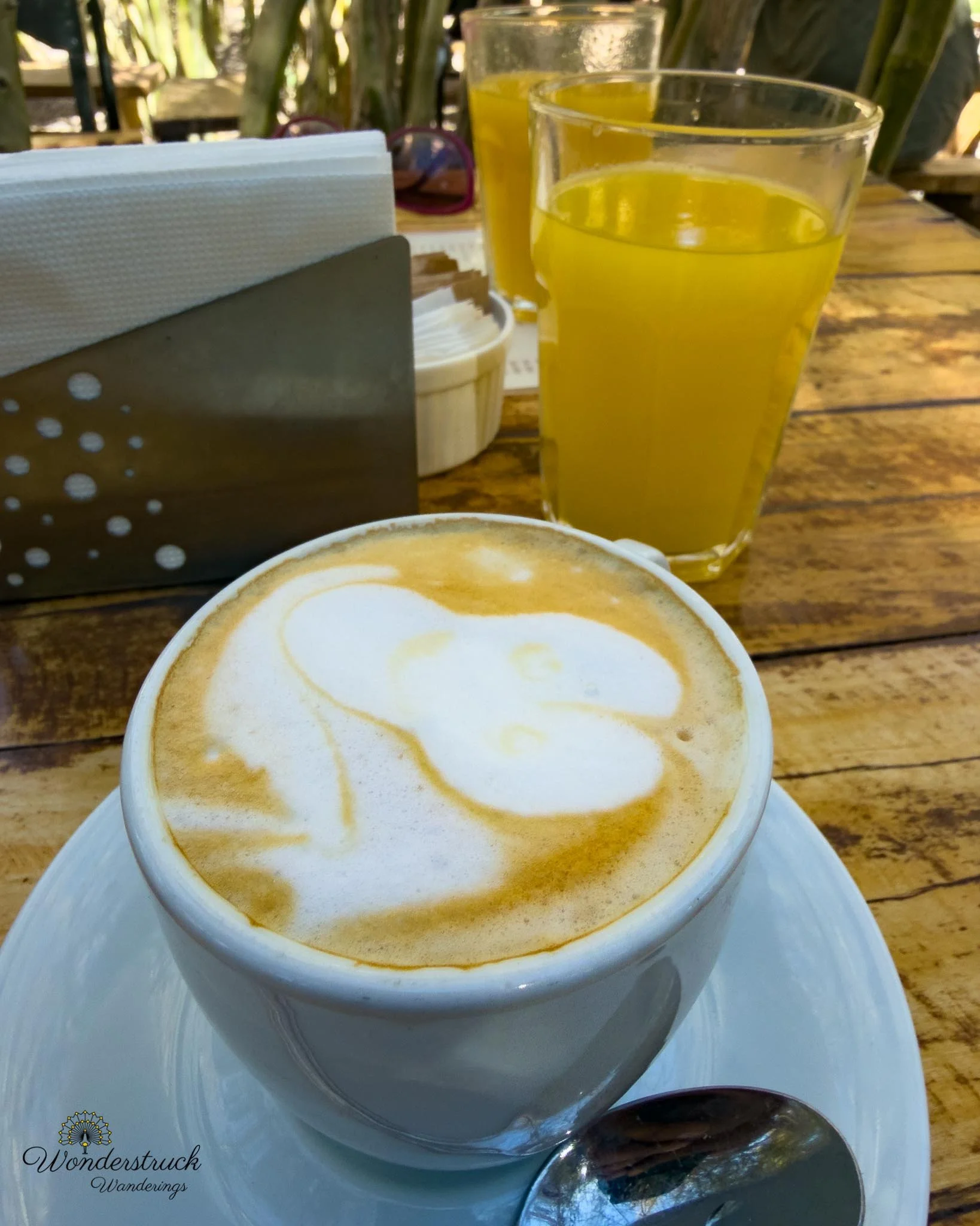
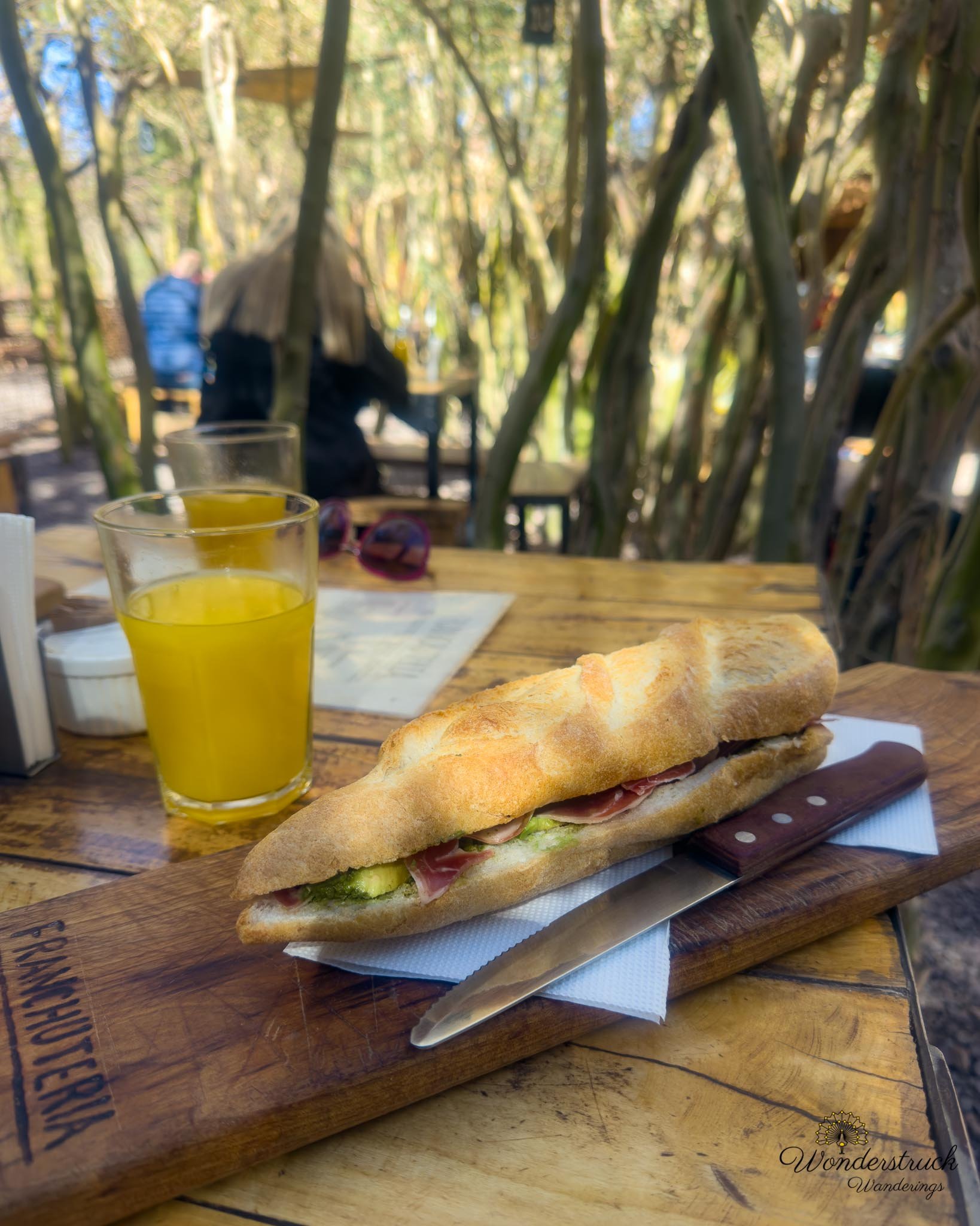
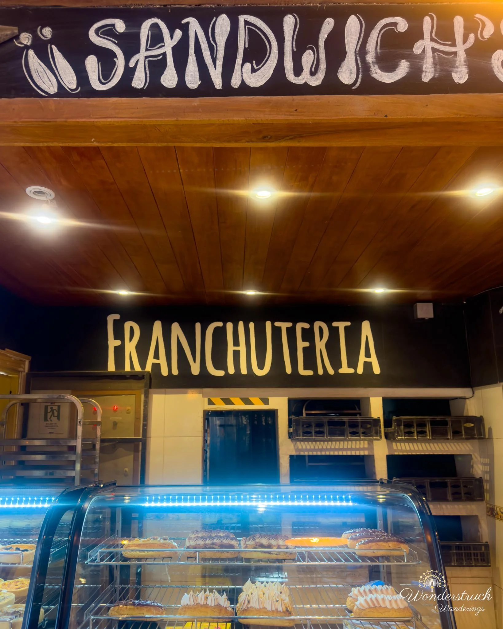
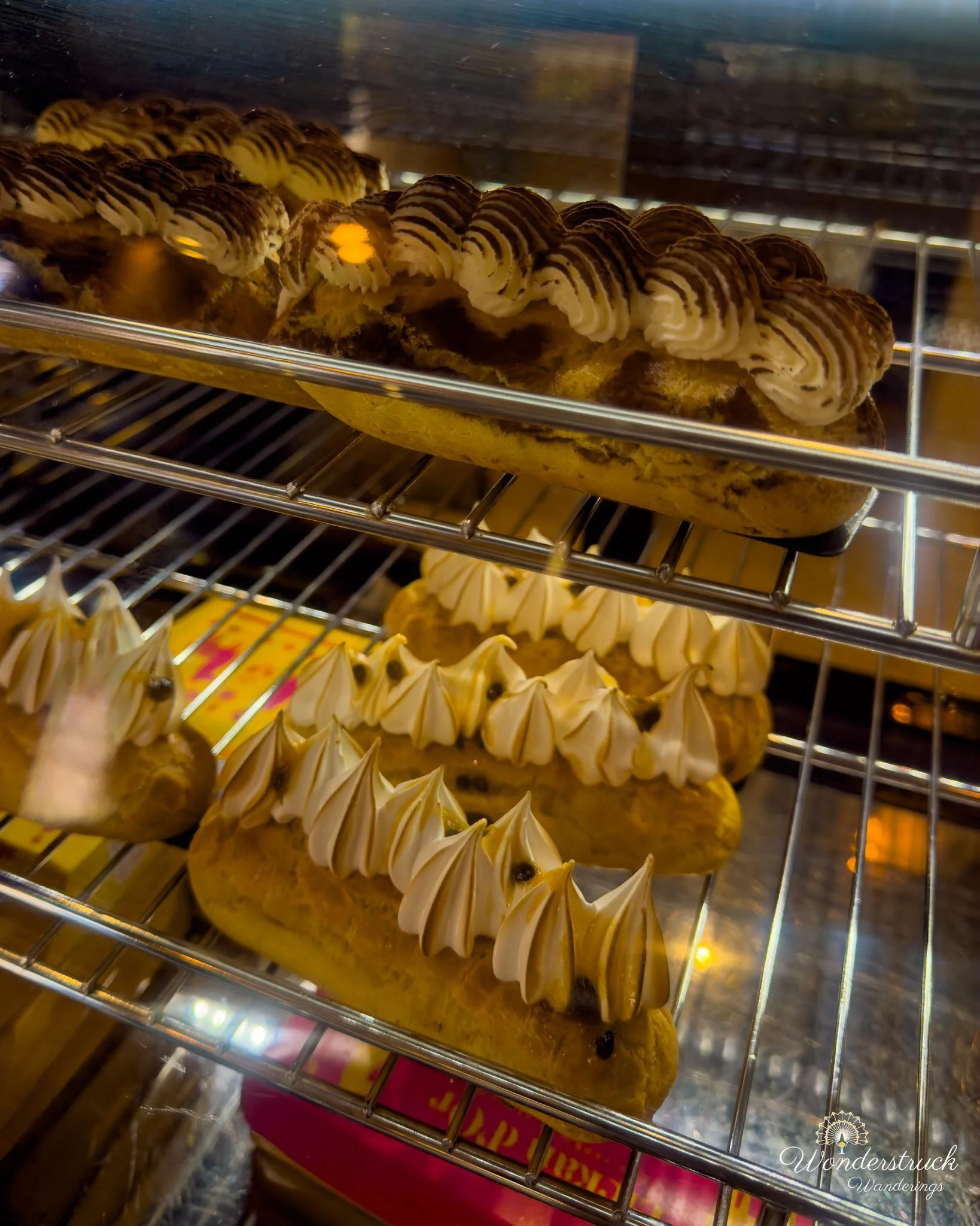
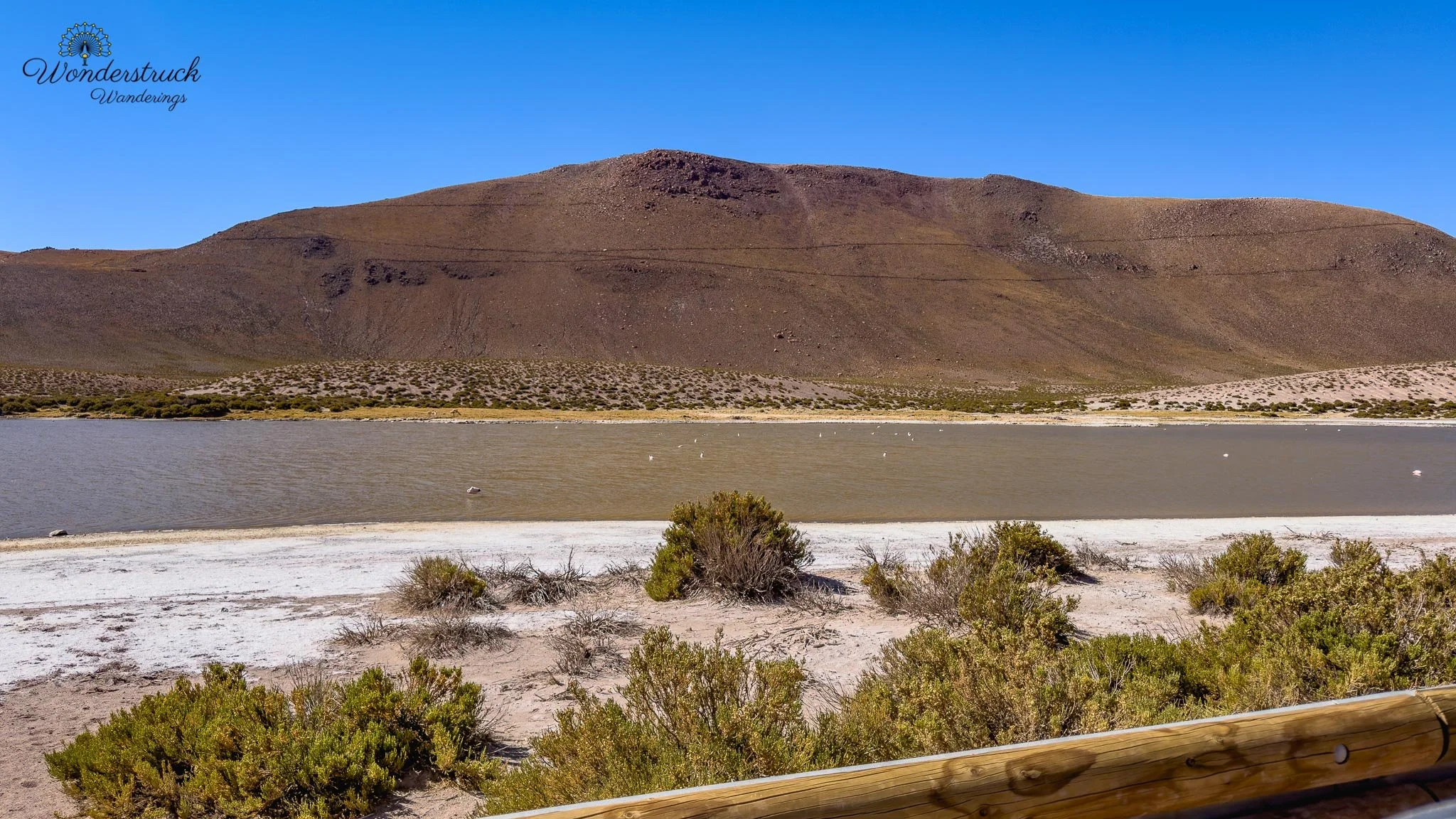
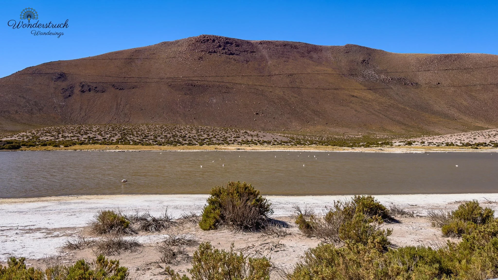
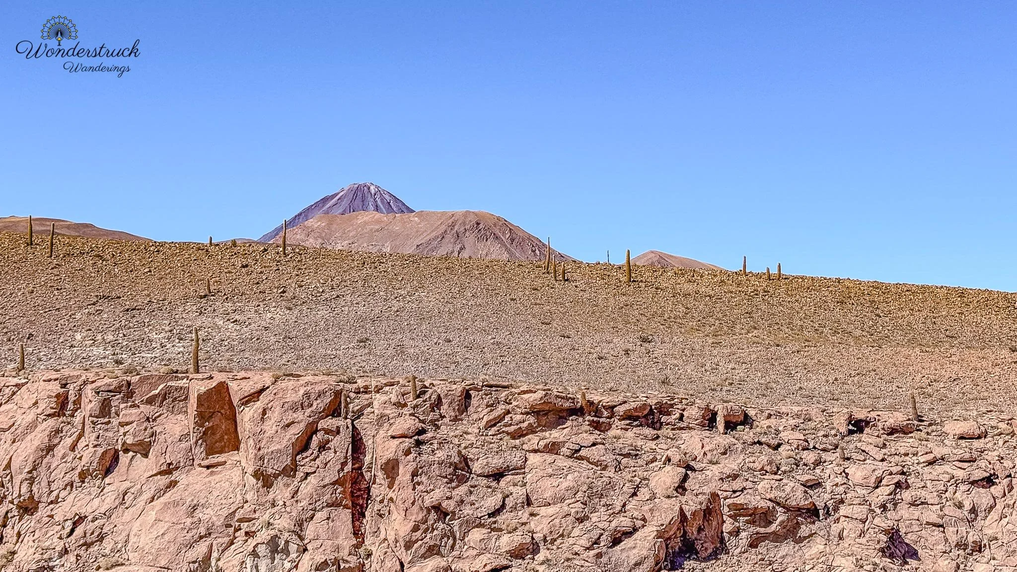
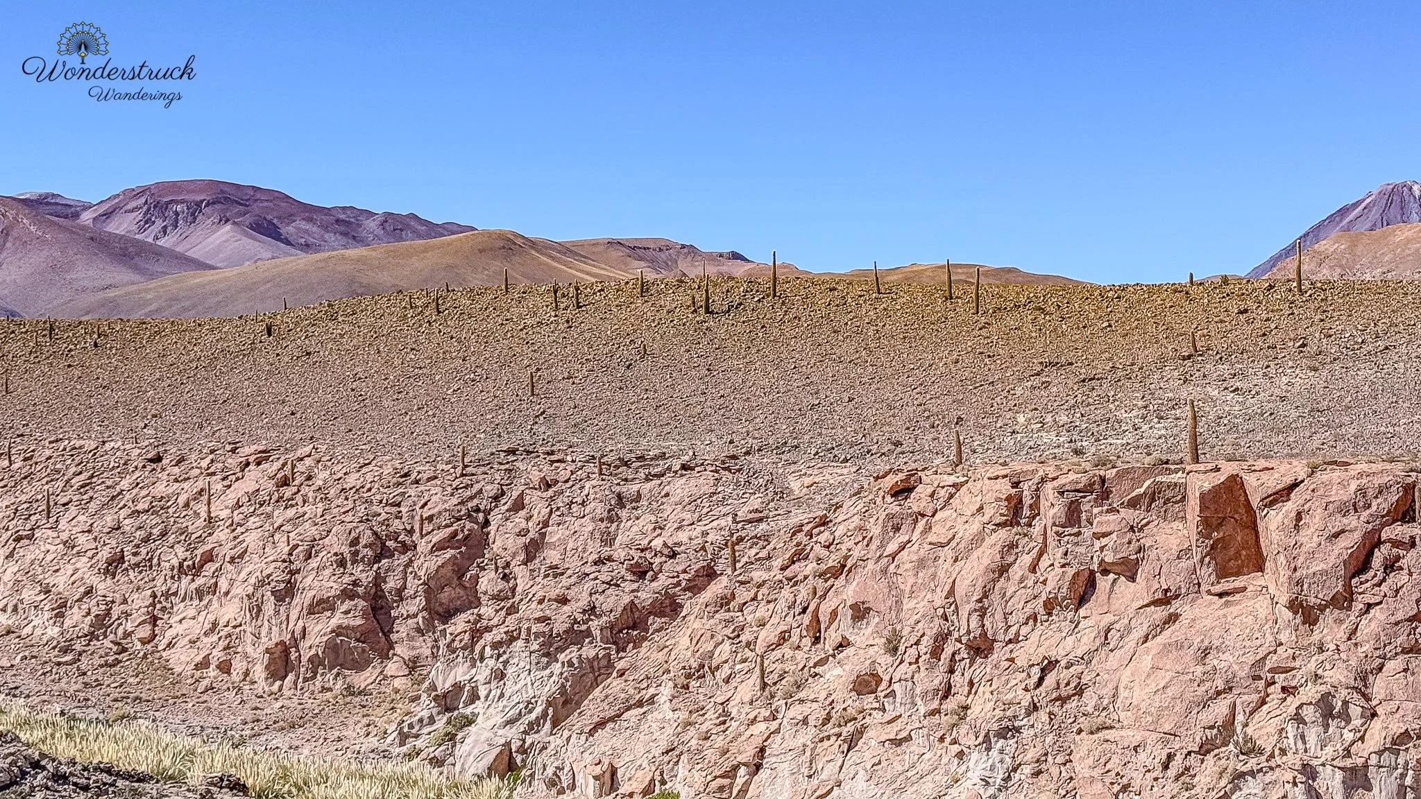
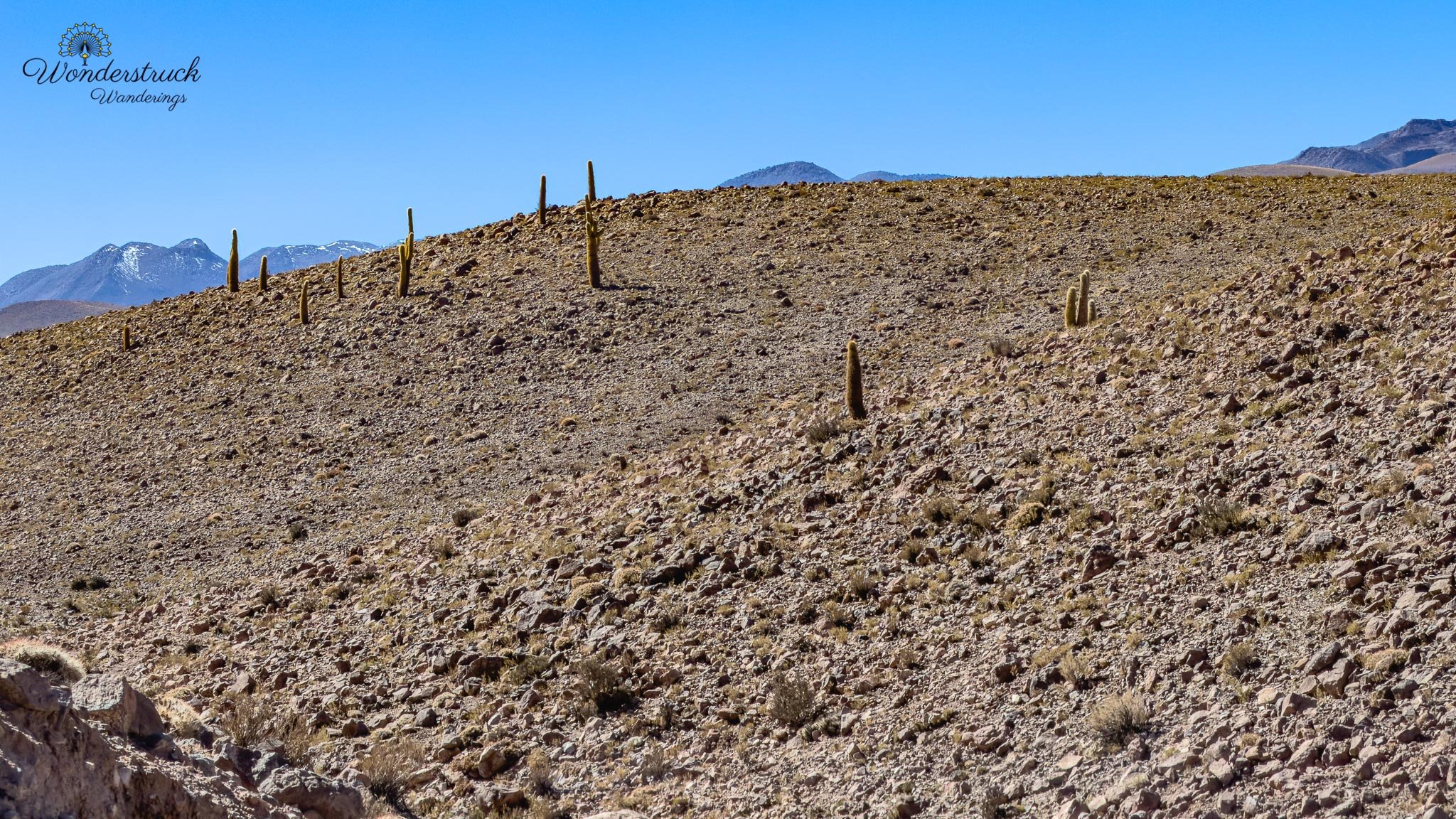
Next came the Machuca village viewpoint and flamingo lagoon, where the morning became even better. This was where we picked up all three flamingos found in Chile: Andean Flamingo, James's Flamingo, and Chilean Flamingo. Seeing all three in the same lagoon area was a special Atacama moment. The Chilean Flamingo is the one many travelers notice first because it is more familiar in shape and color, with soft pink tones and elegant posture. The Andean Flamingo is paler overall but has strong black in the wings and a distinct yellow-and-black bill. The James's Flamingo is often the most delicate-looking of the three, smaller and paler, with a shorter-looking bill and soft pink wash. In a wide highland lagoon, separating them takes attention, but that is also what makes the sighting so rewarding. After Machuca, we stopped near Guatin, known for its cactus valley and hiking possibilities. Guatin is often visited for the dramatic canyon-like setting where tall cardon cacti grow among desert rock and dry ravines. By then, though, the day had warmed up and we were already tired from the early start, altitude, and several stops. The cactus valley looked interesting, but it also looked hot, and we decided to leave the walk for another trip. Sometimes knowing when to stop is the difference between enjoying the day and grinding yourself down. We were back at the hotel by around 1 p.m. We freshened up and then walked into town for lunch, only to discover that Tuesday lunch in San Pedro can be tricky. Quite a few places seemed closed, so we returned to La Franchuteria. That was not exactly a hardship. I ordered the same serrano ham sandwich as the day before, and Shay had a spinach and cheese quiche plus a maracuya eclair. We also picked up chocolate and ham croissants for the next morning because Day 5 would also start early.
Return to Valle de la Luna , alternate plan Valle de la Muerte
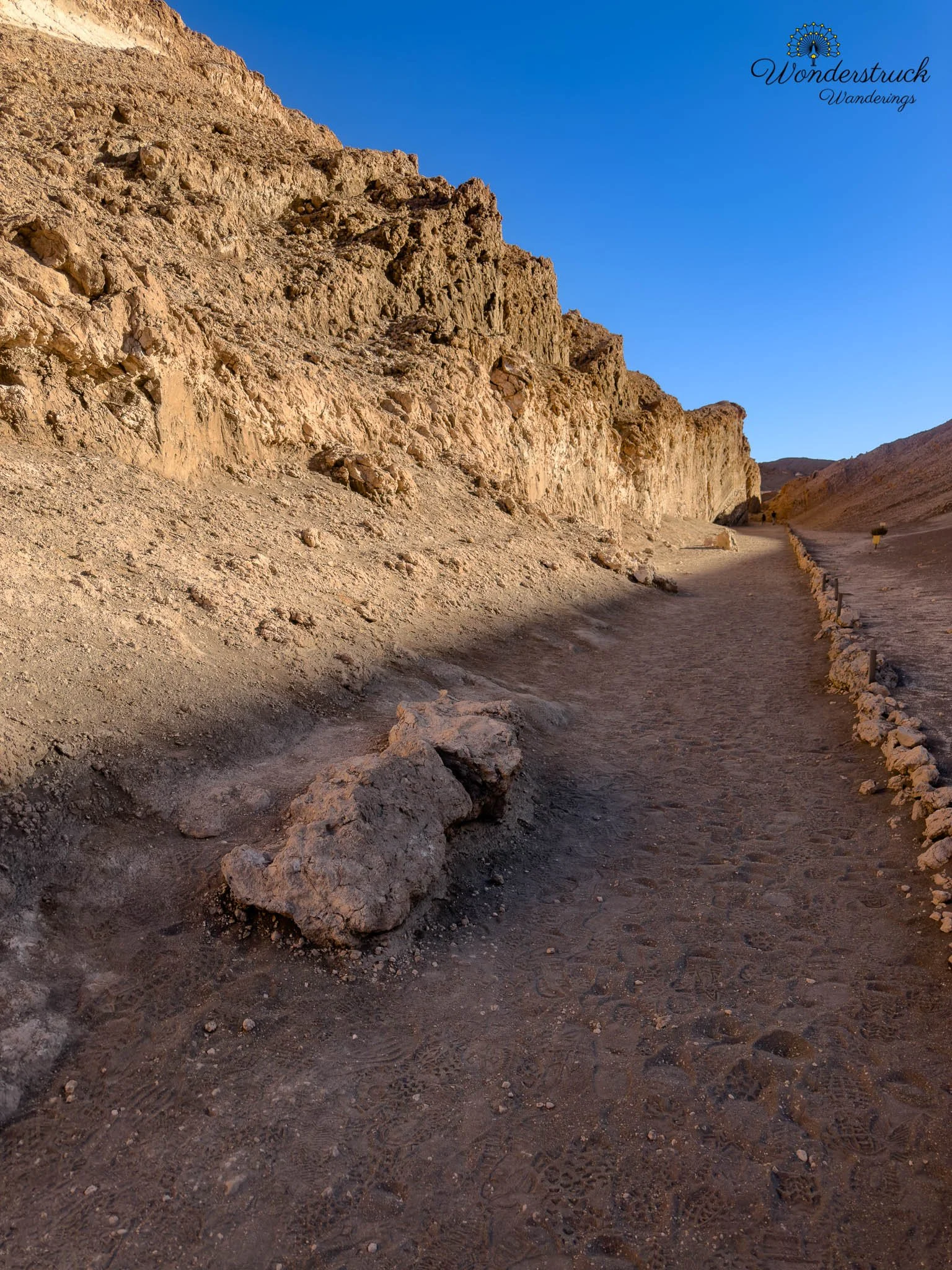
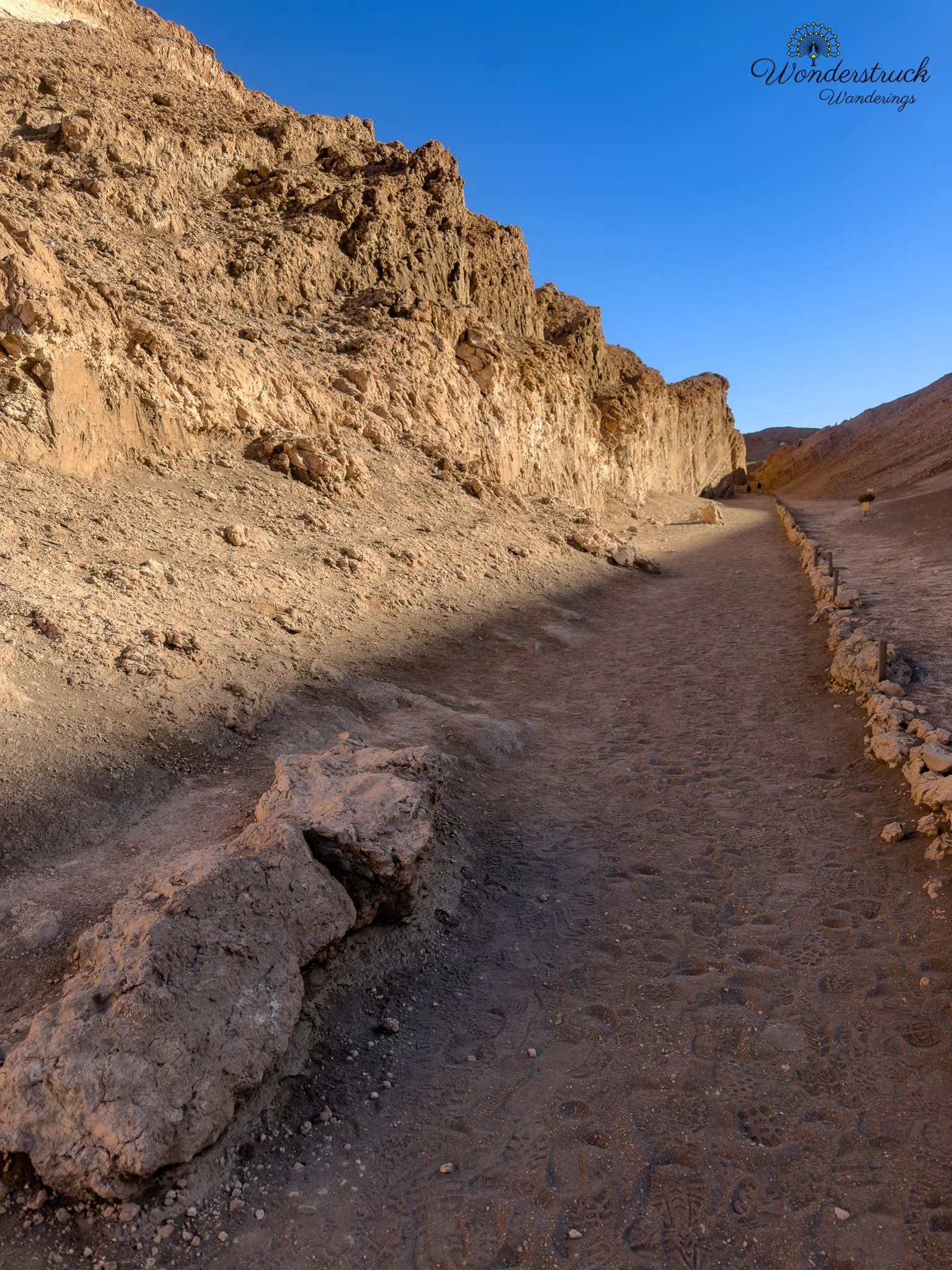
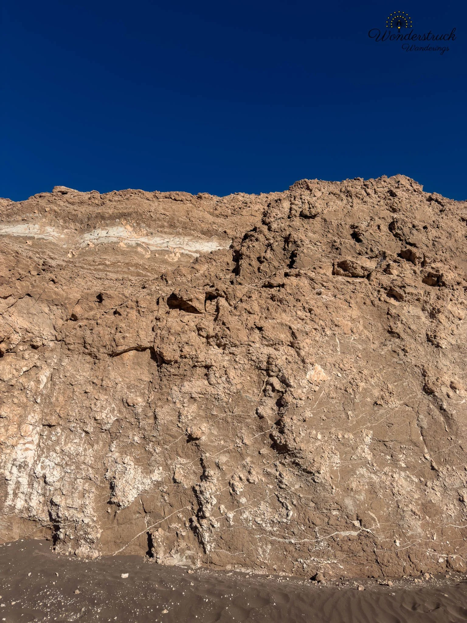
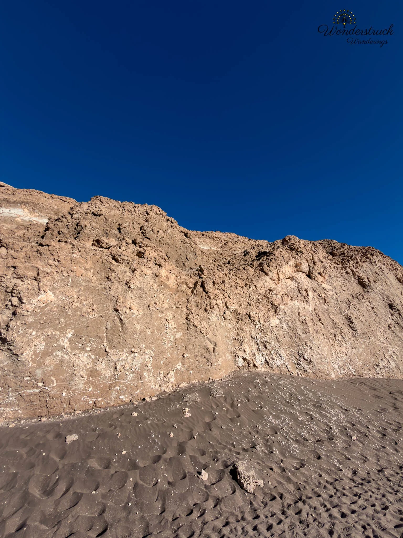
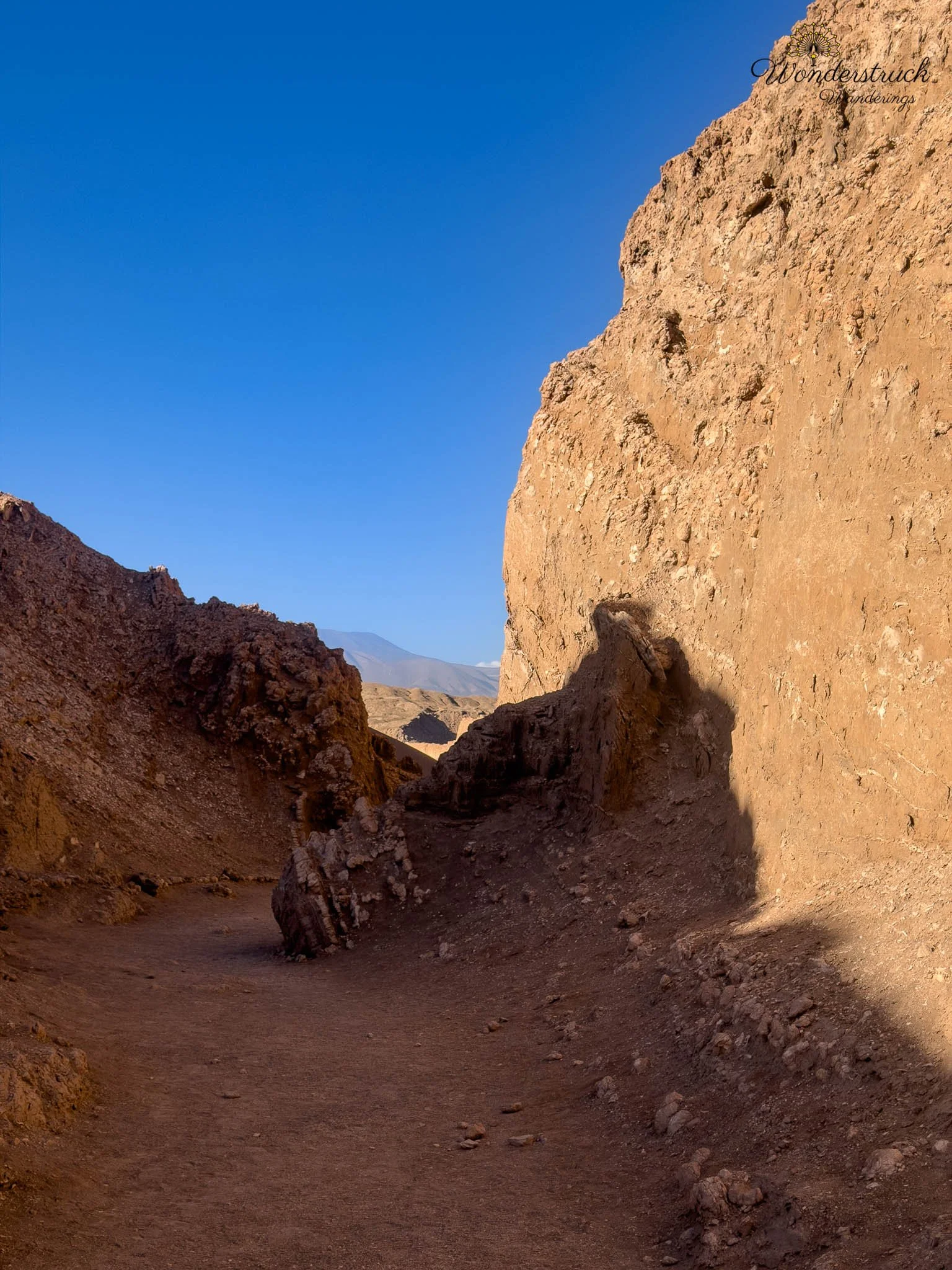
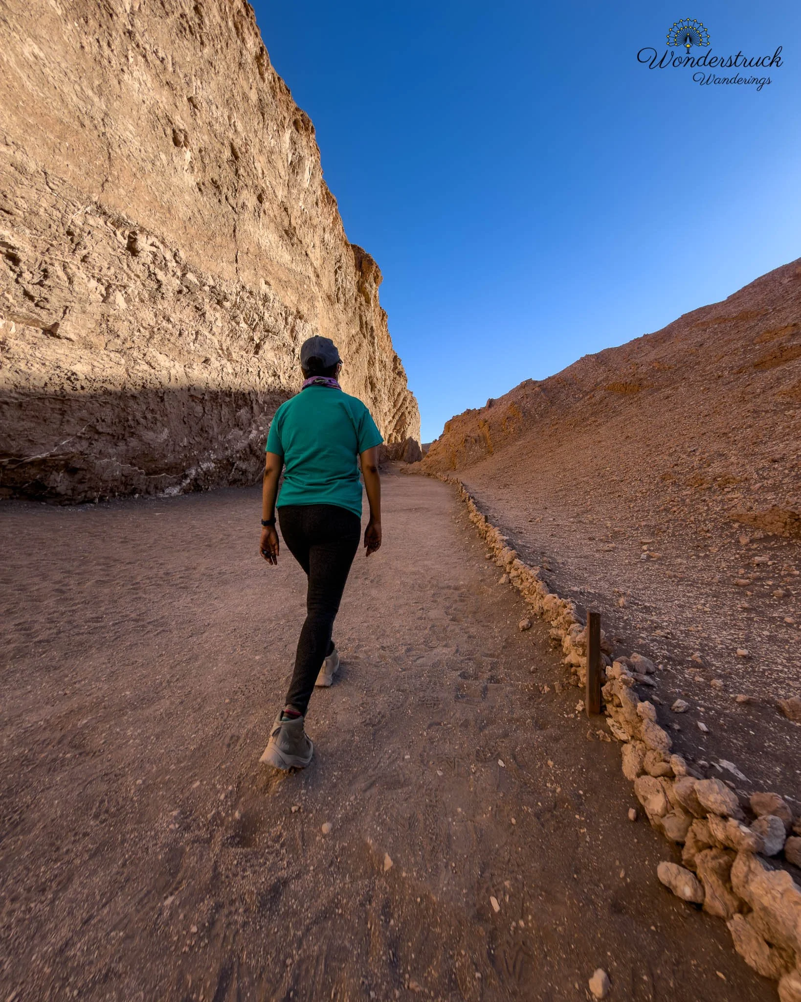
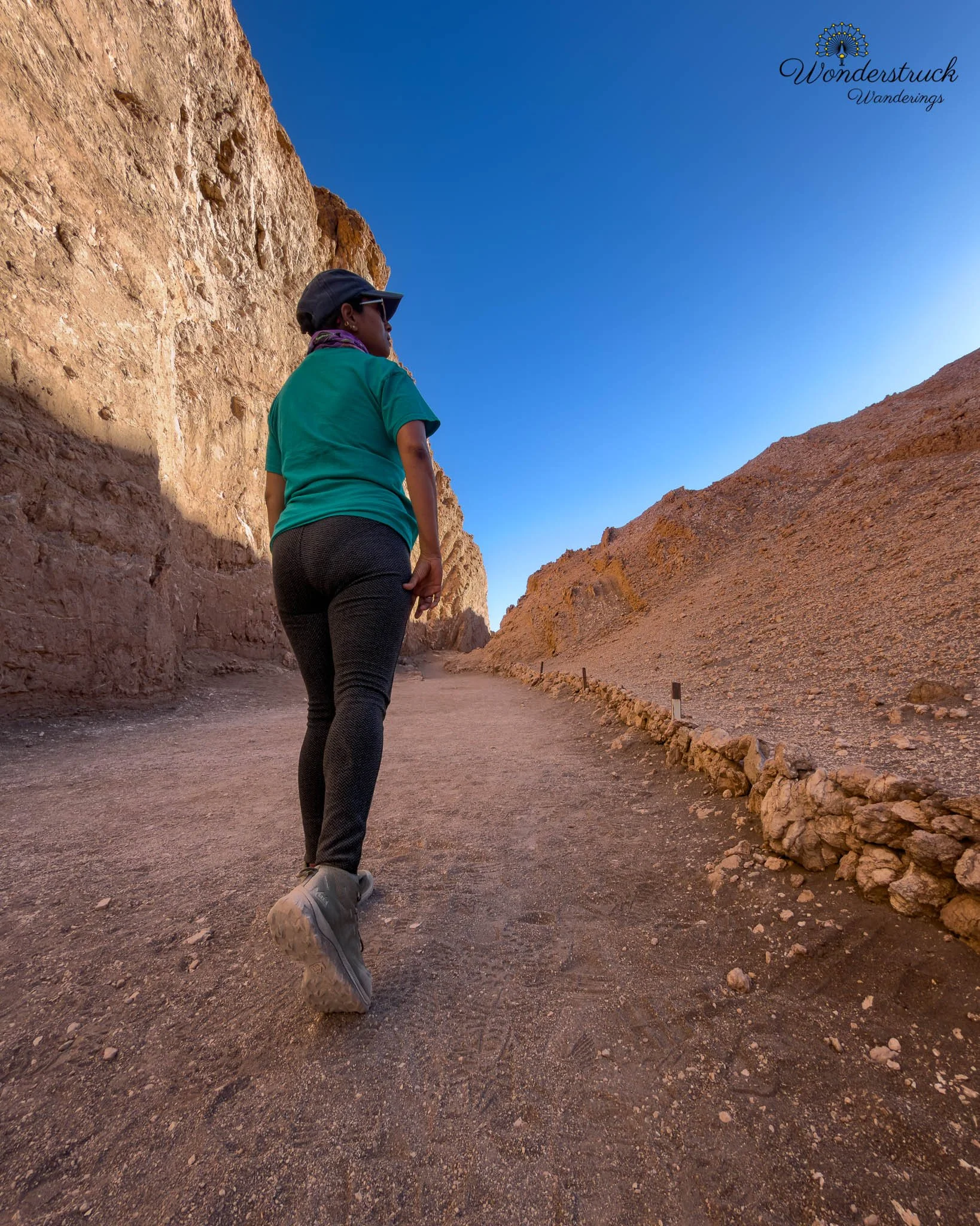
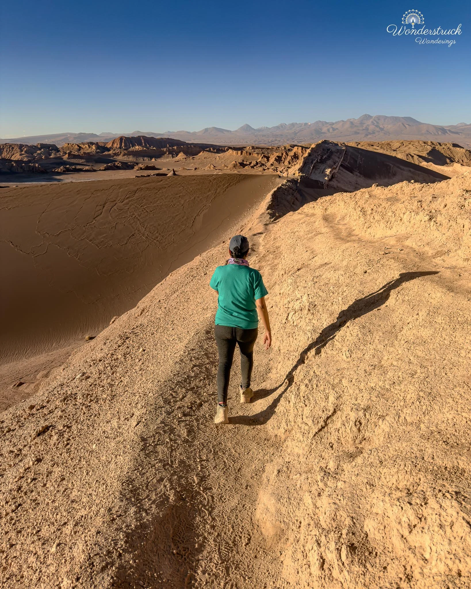
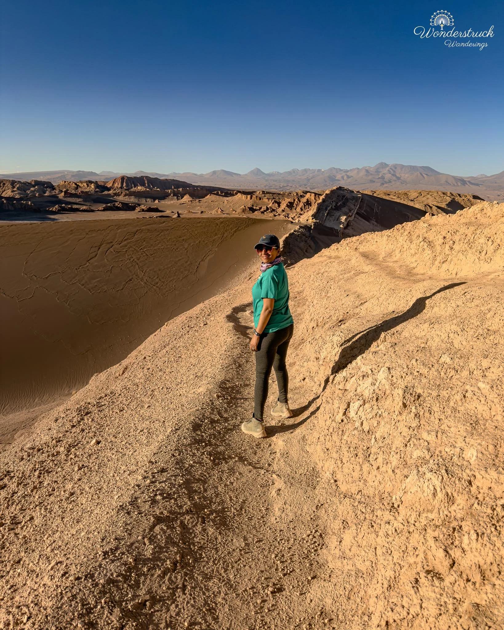
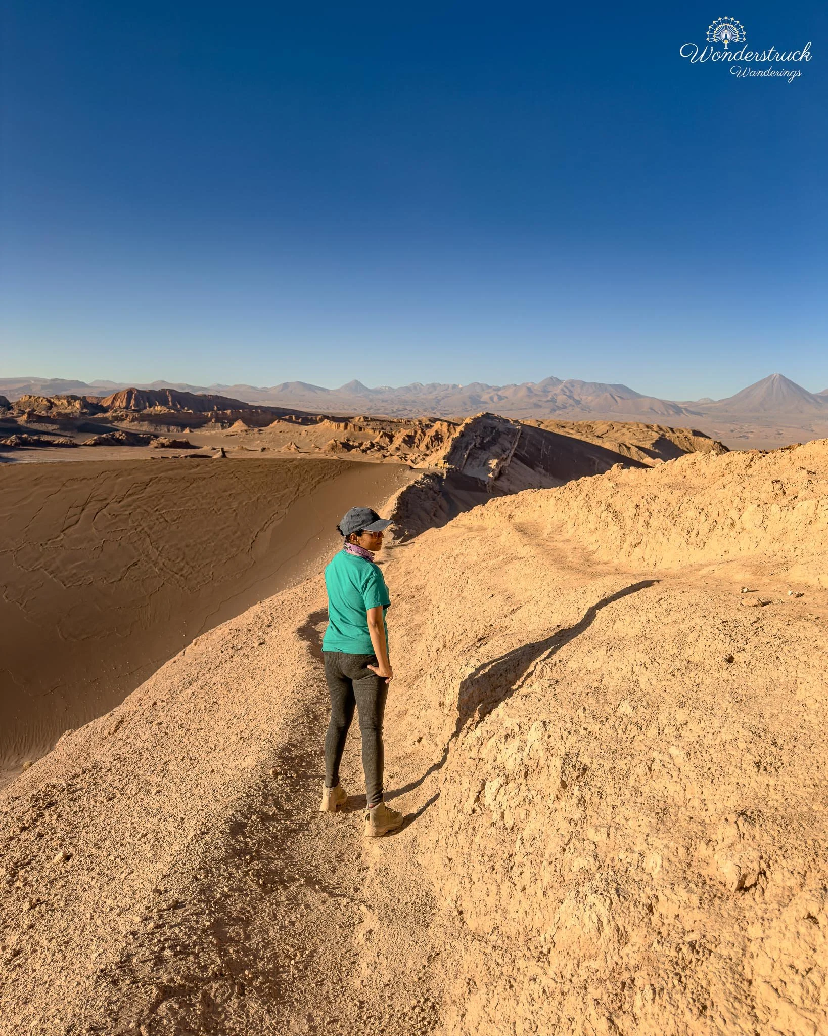
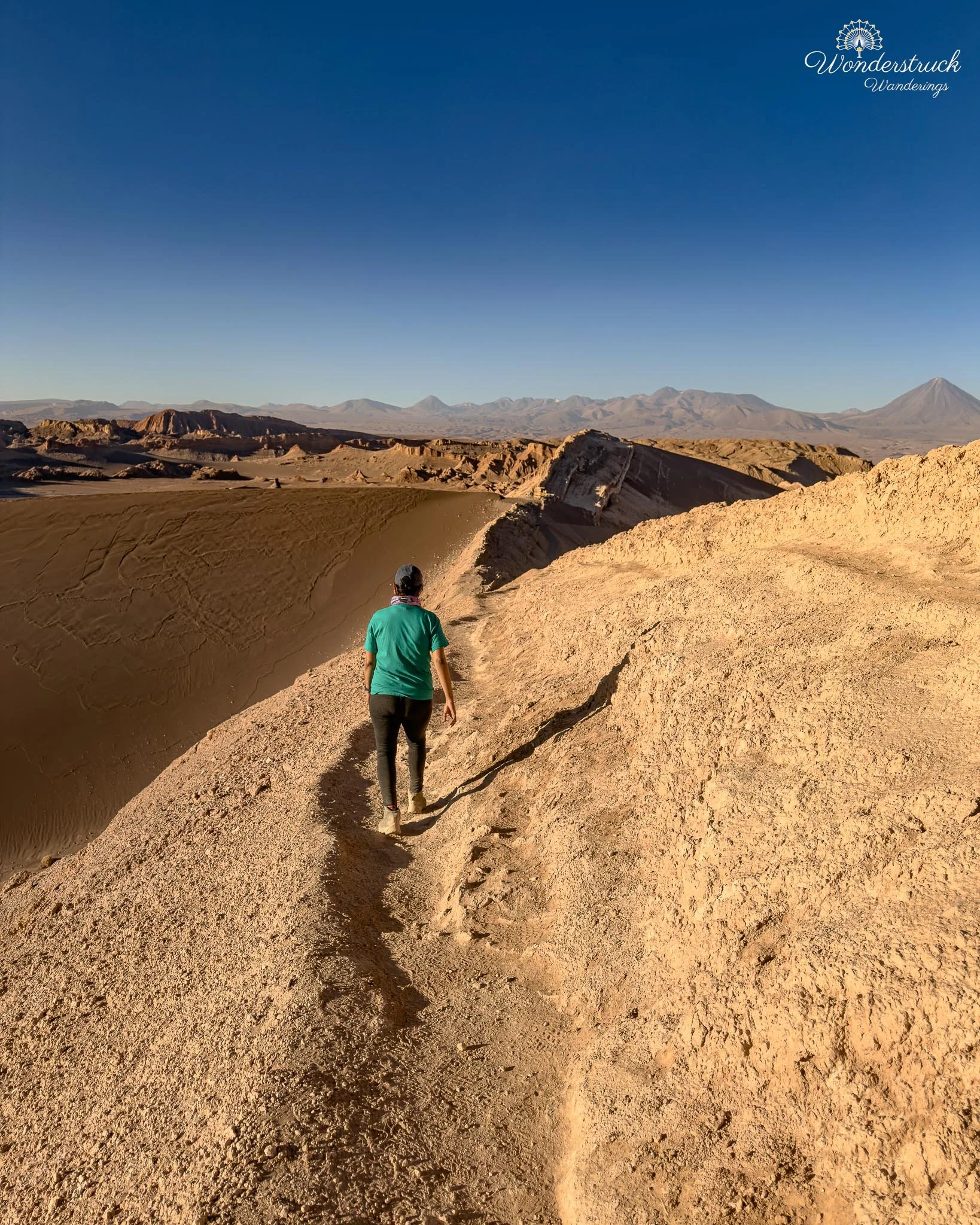
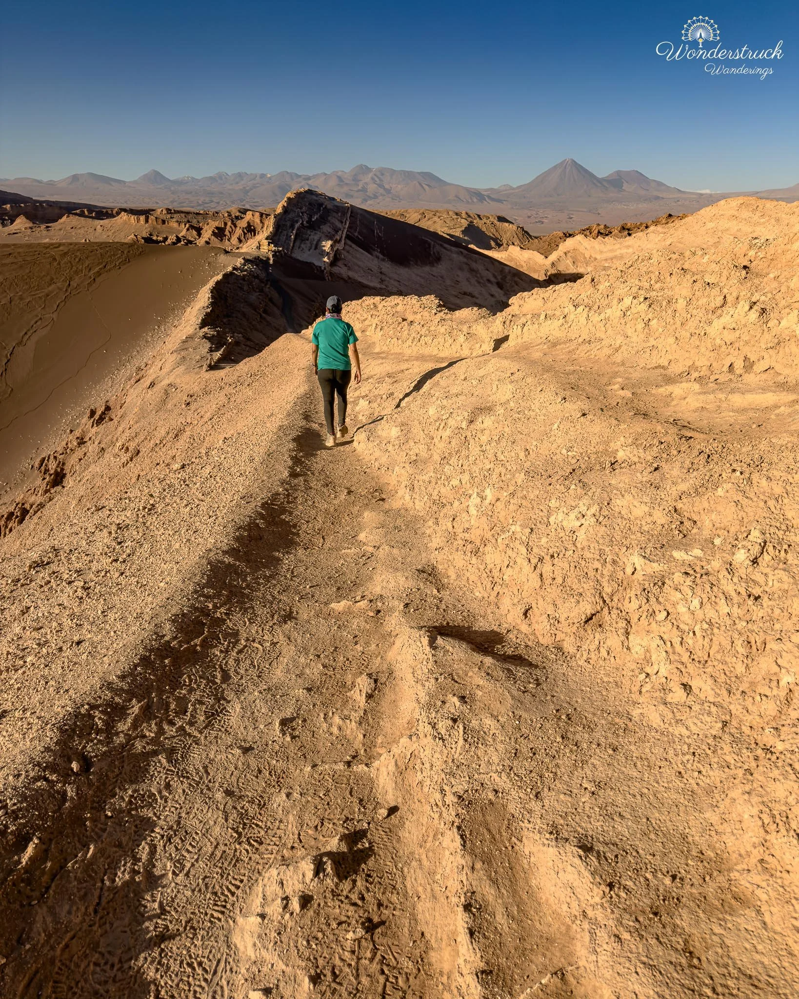
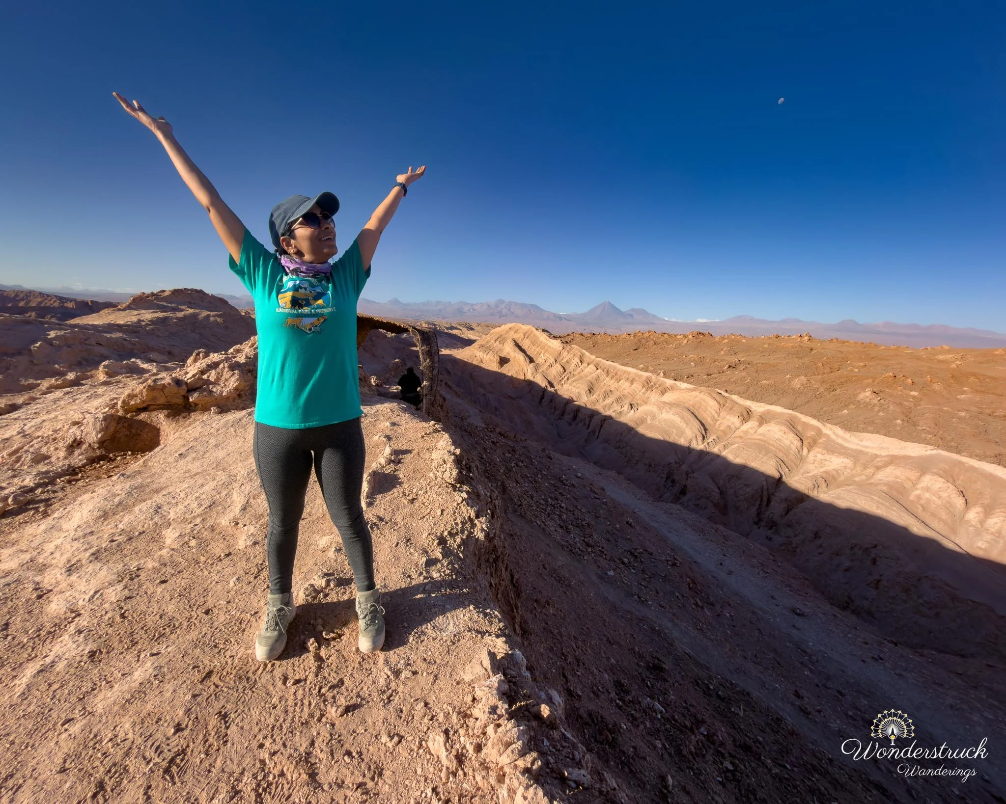
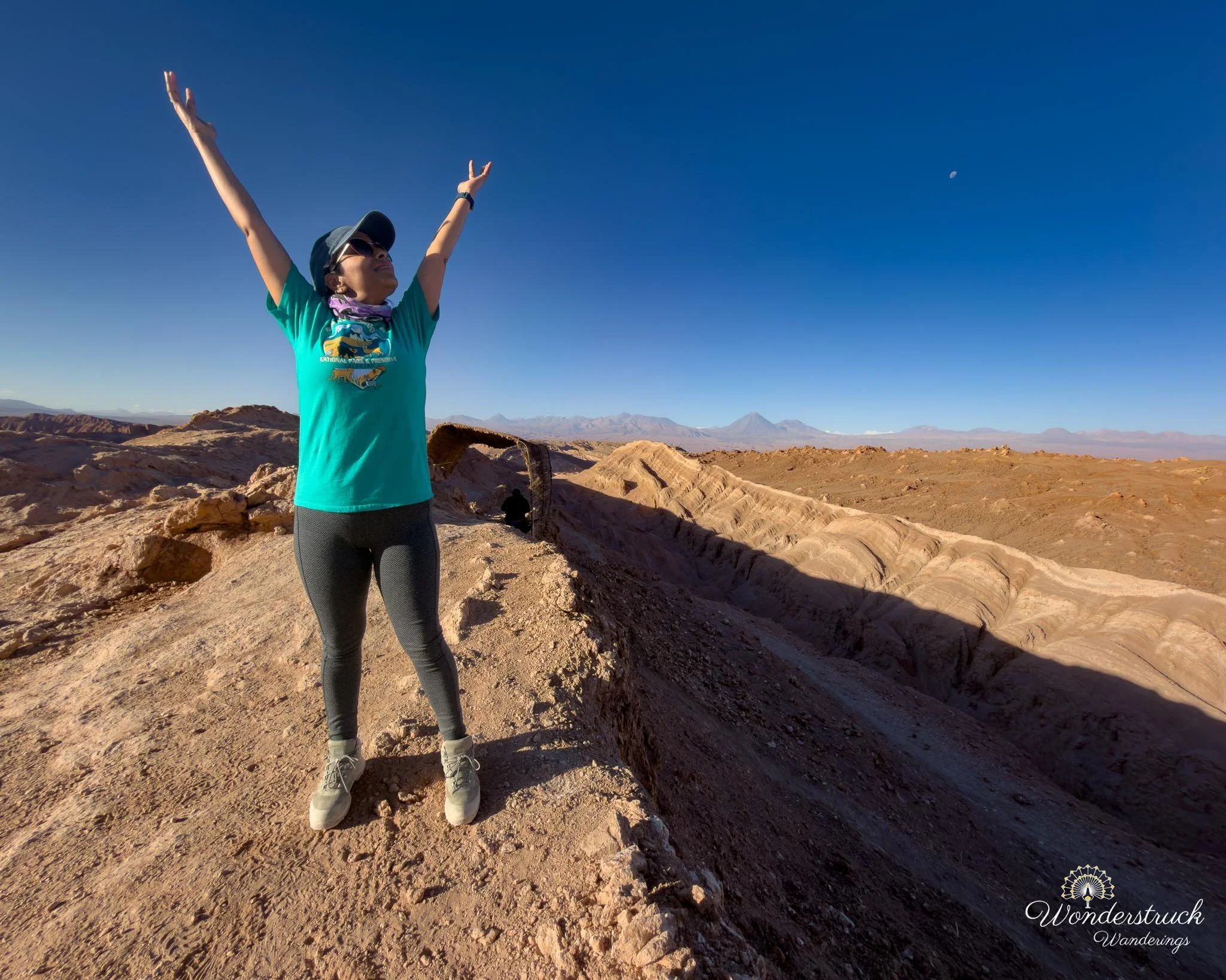
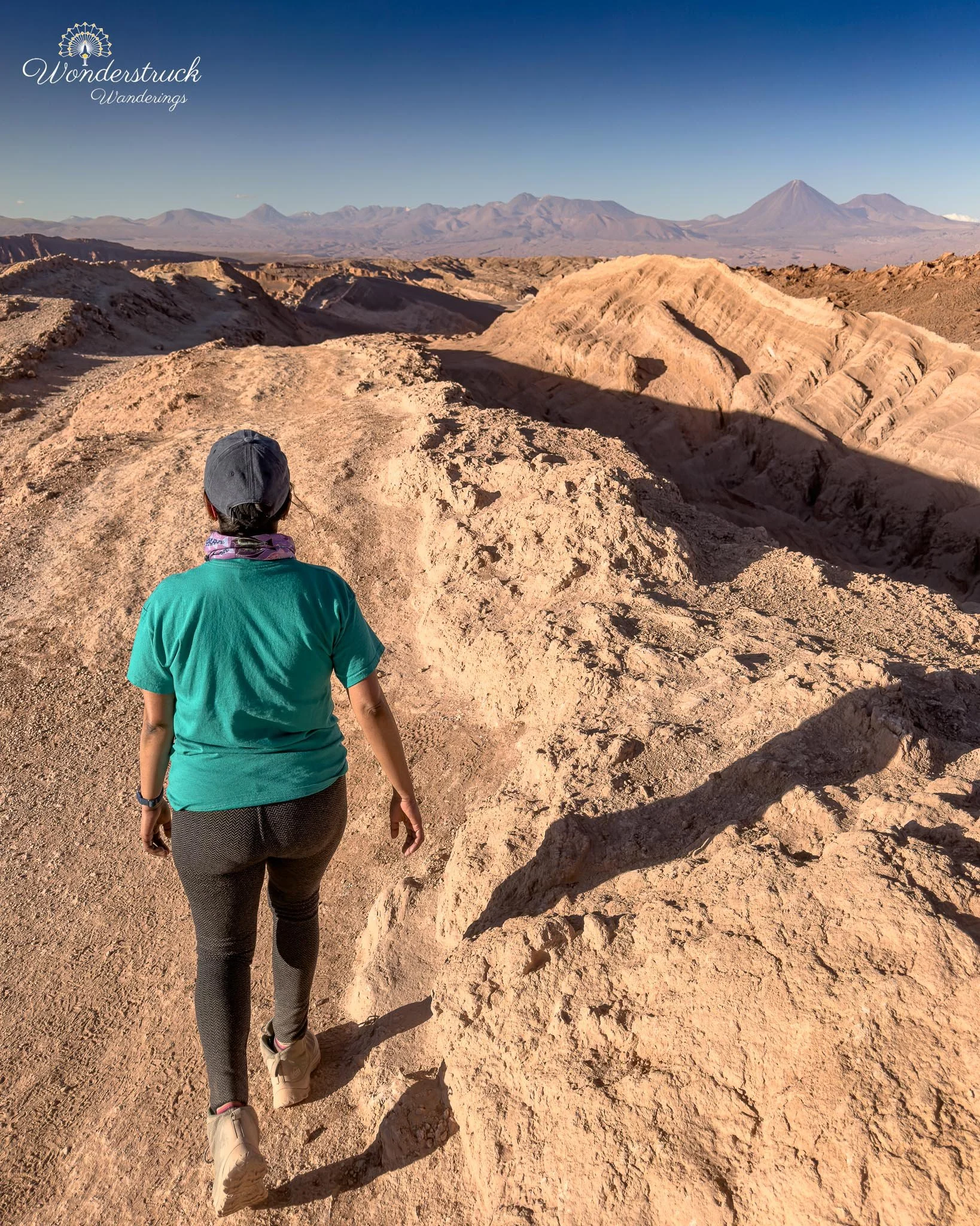
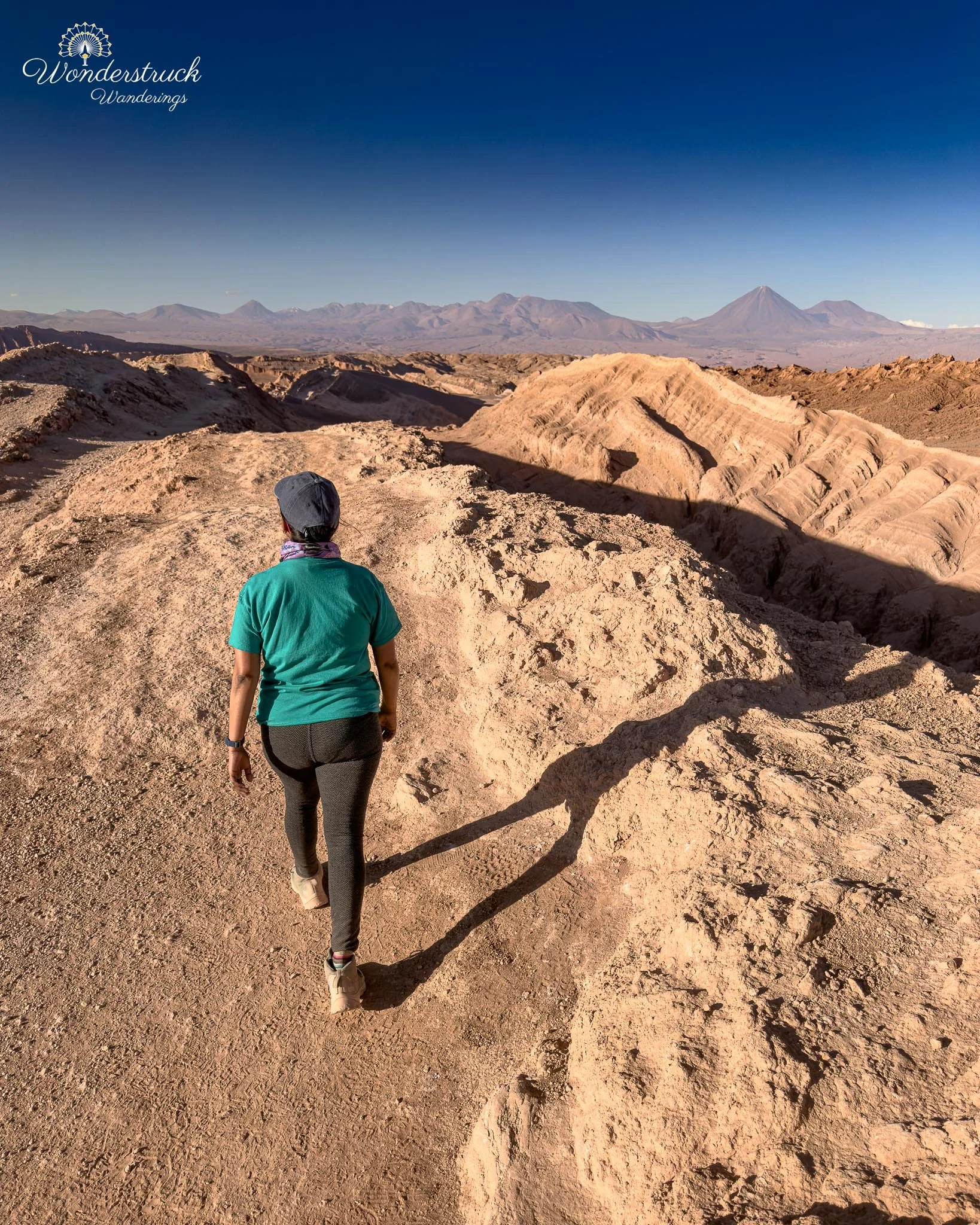
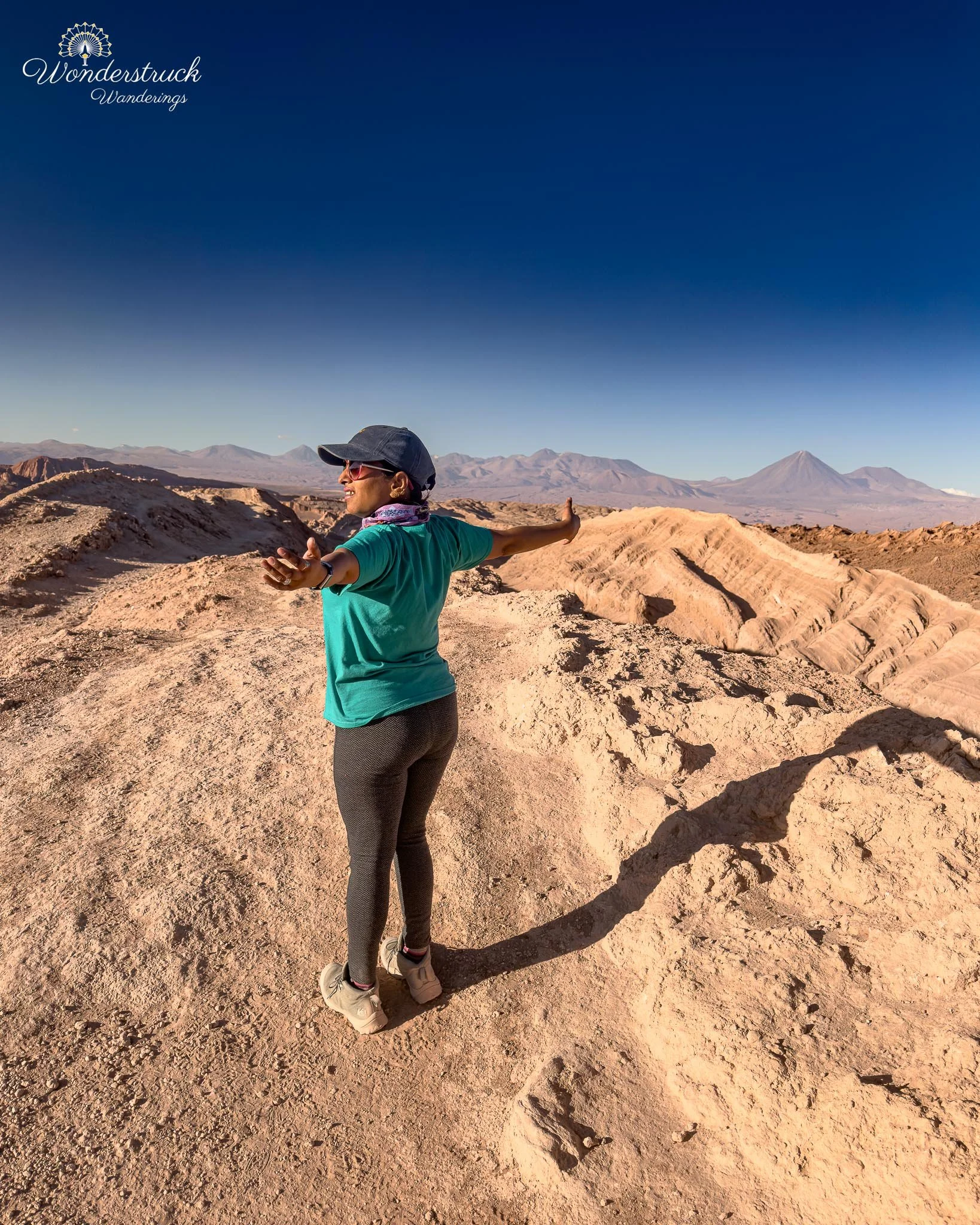
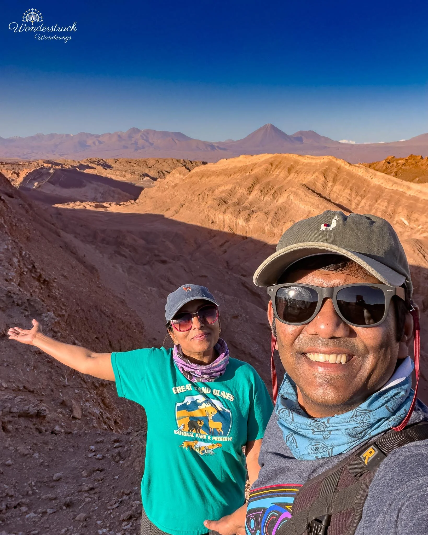
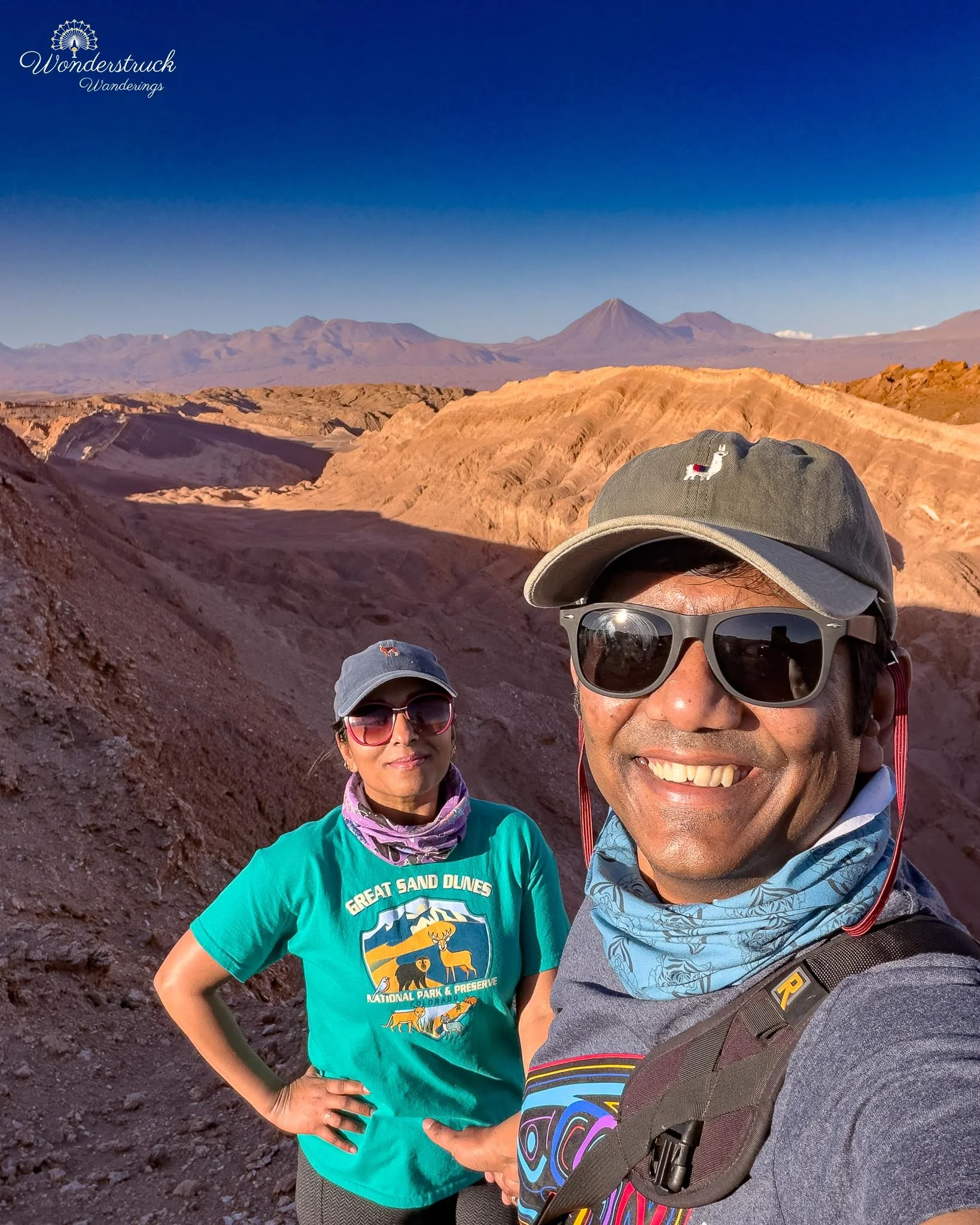
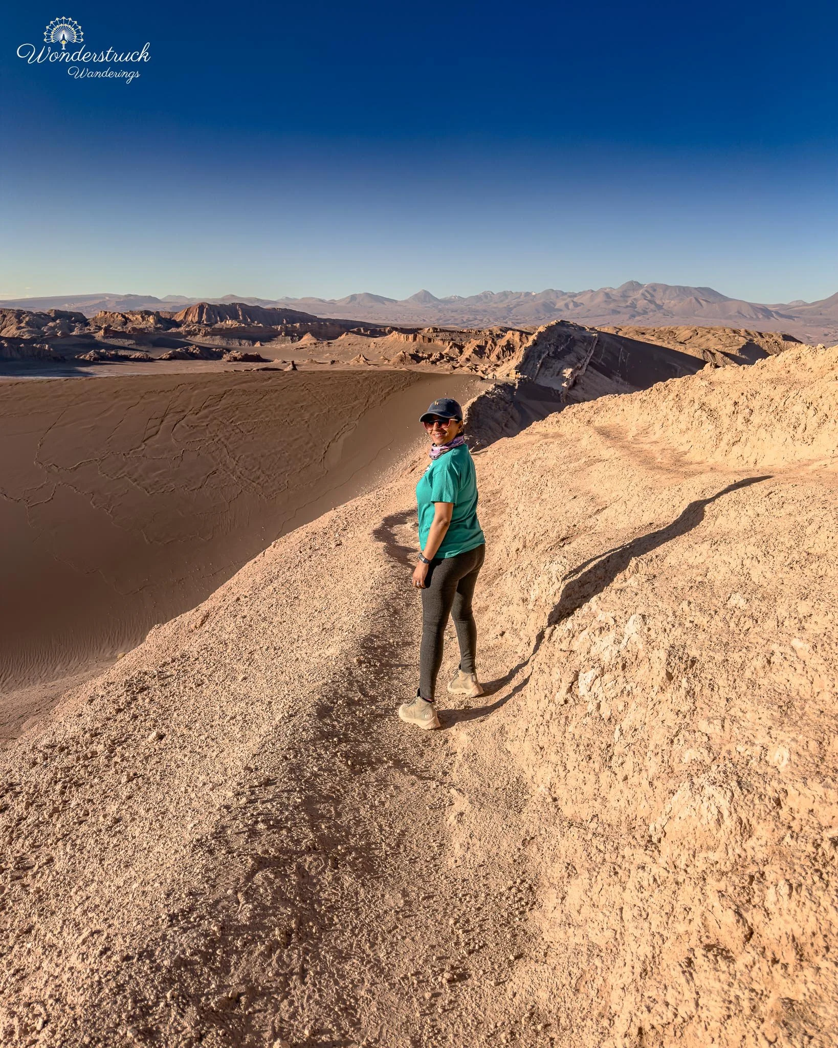
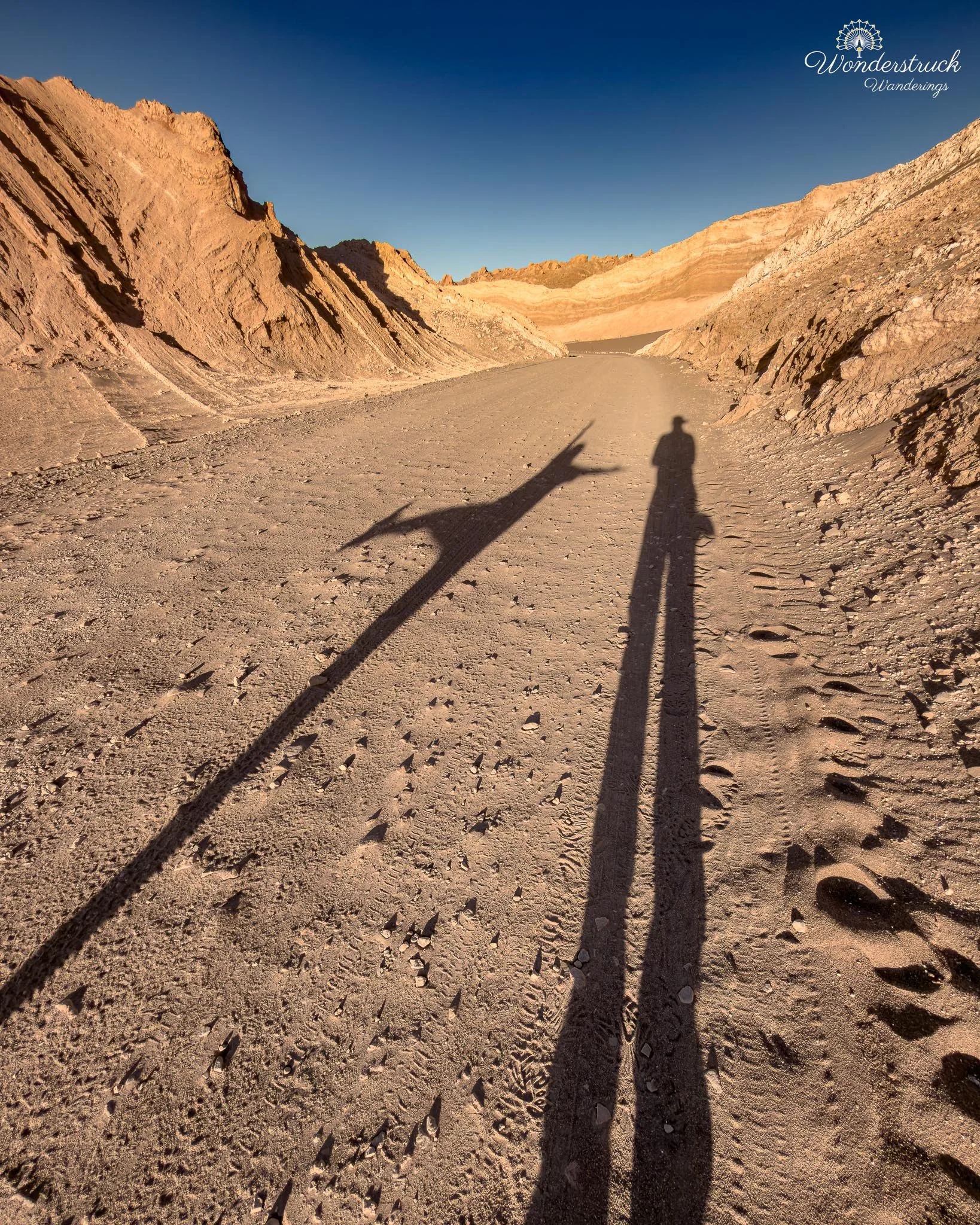
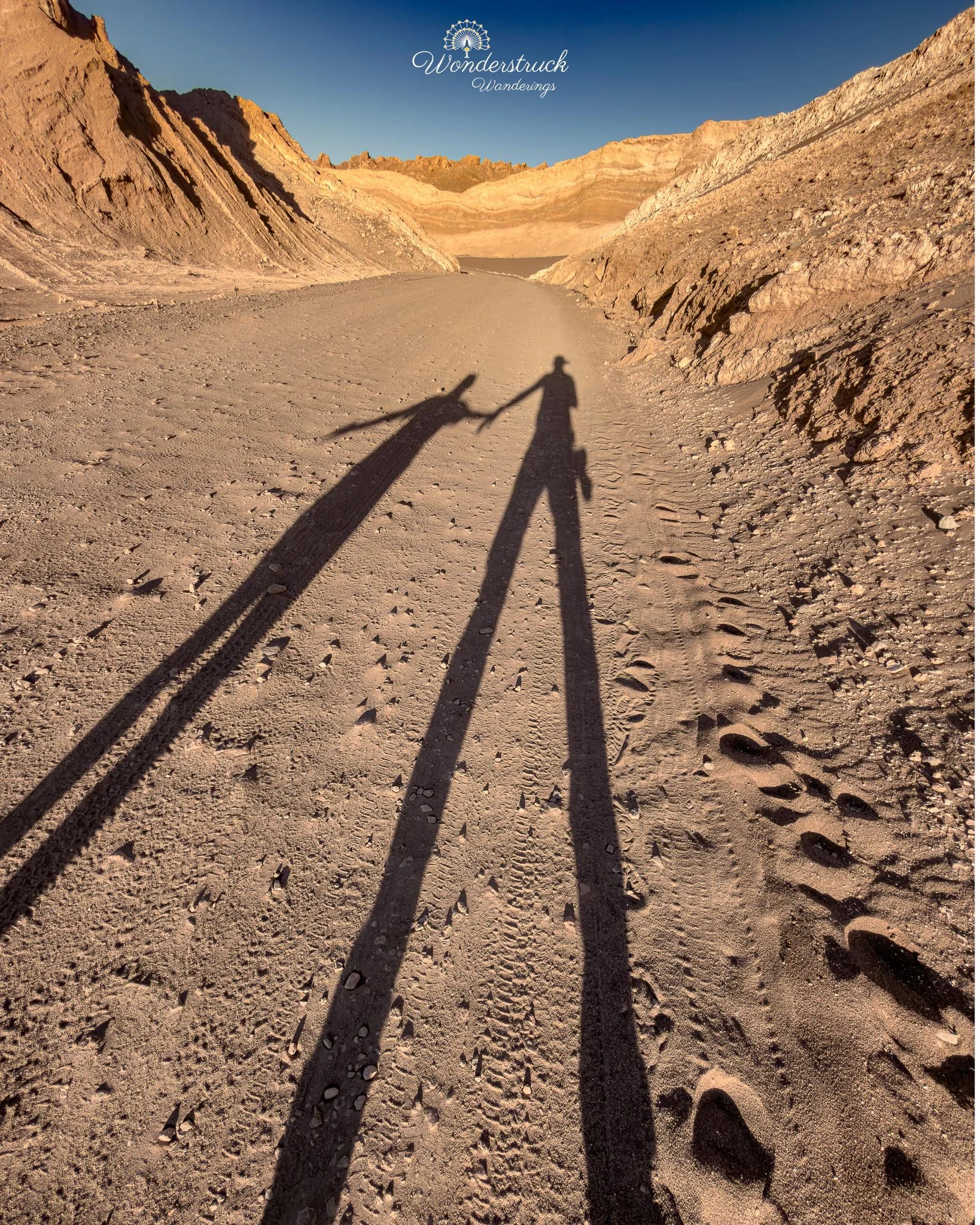
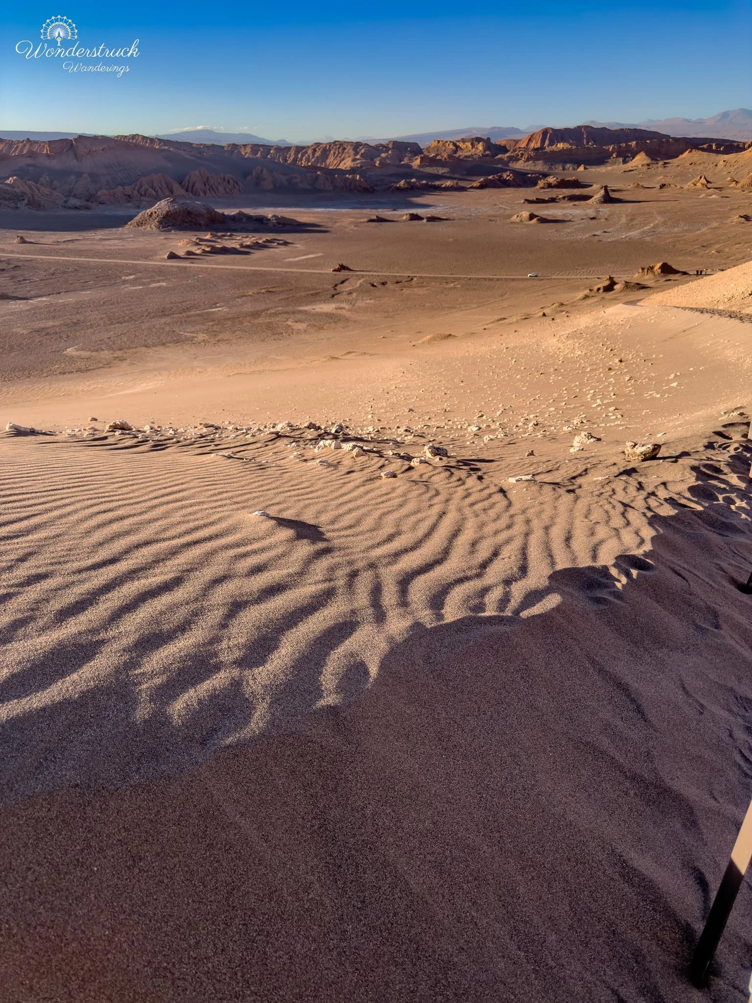
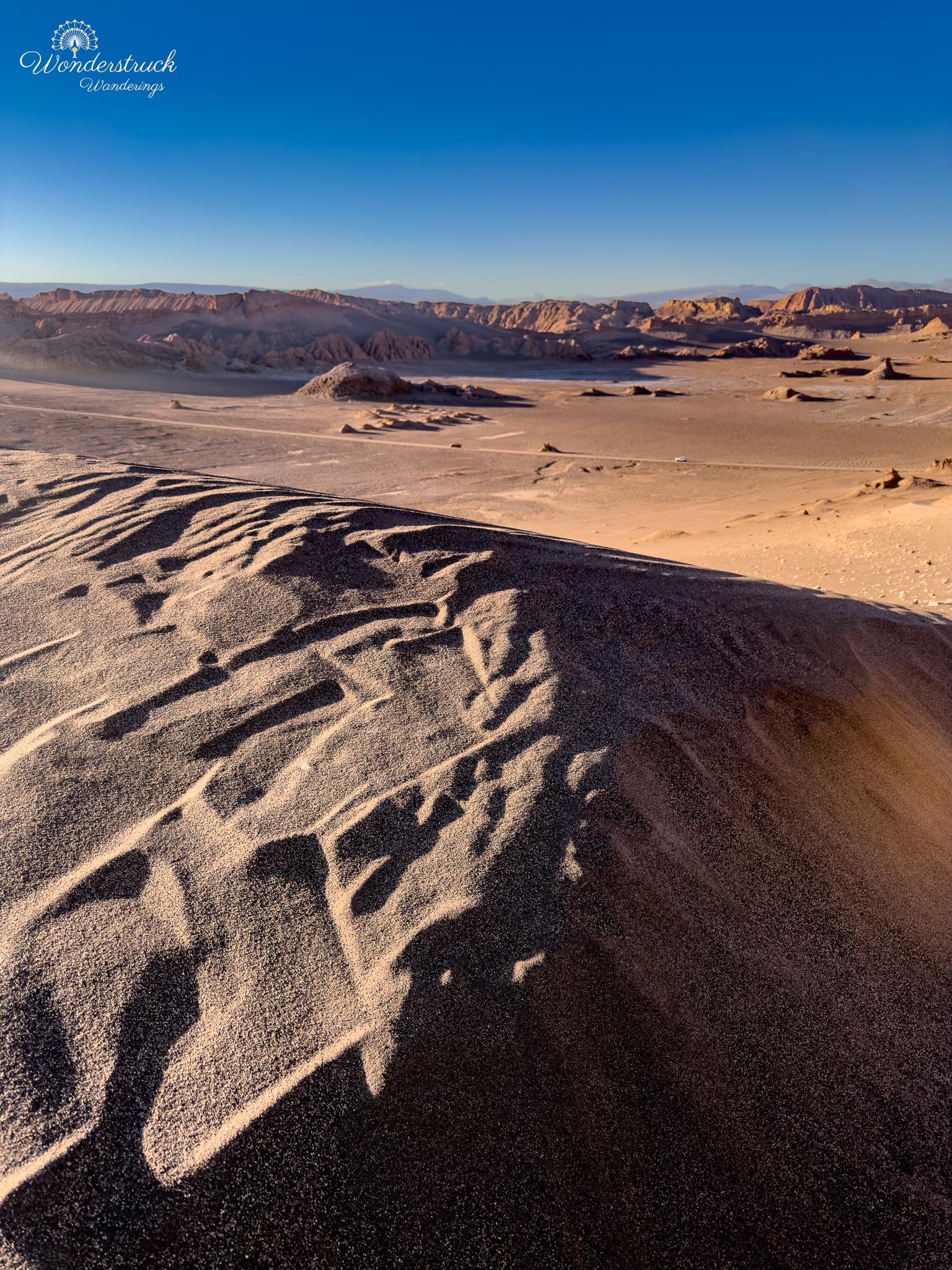
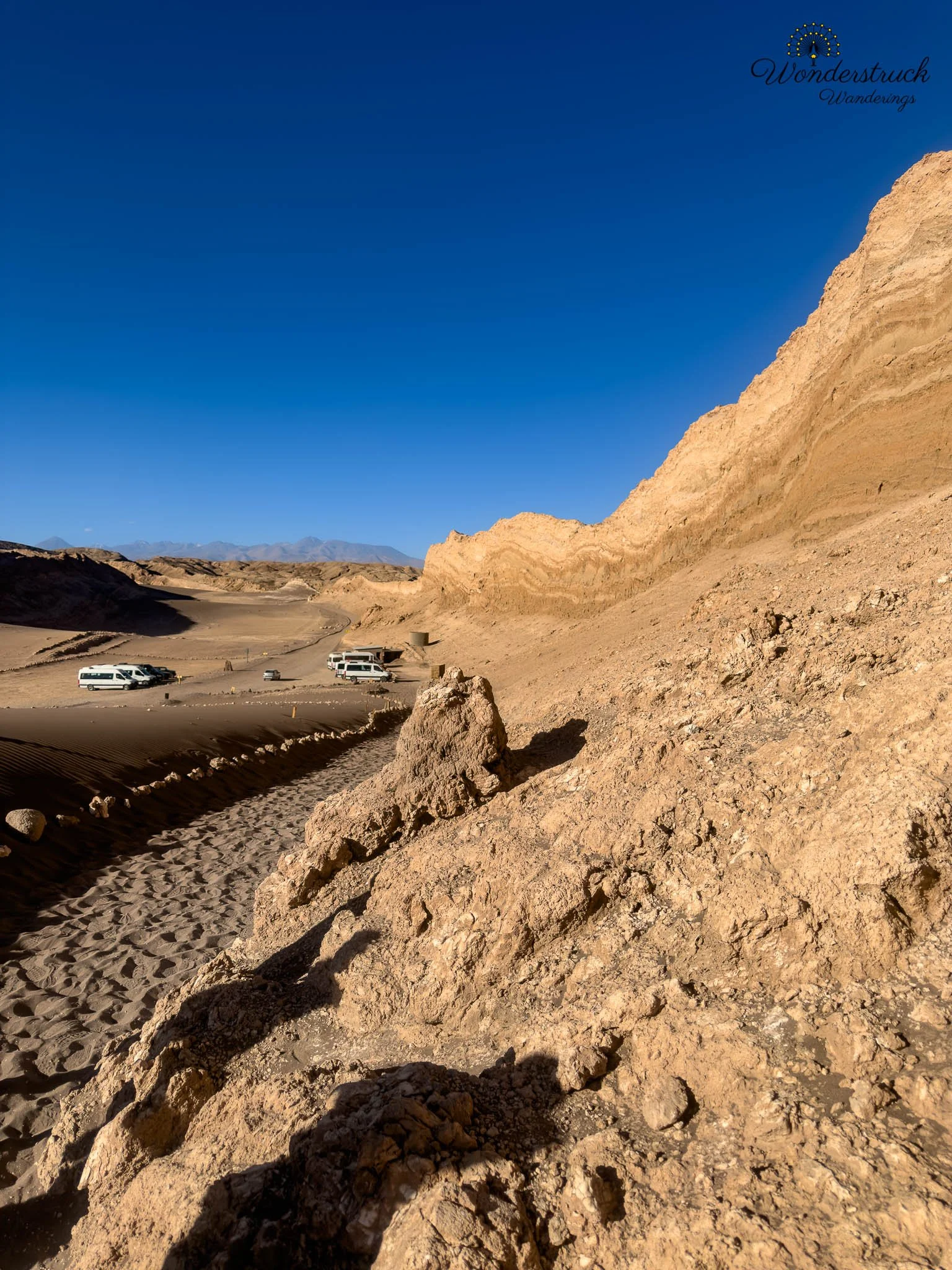
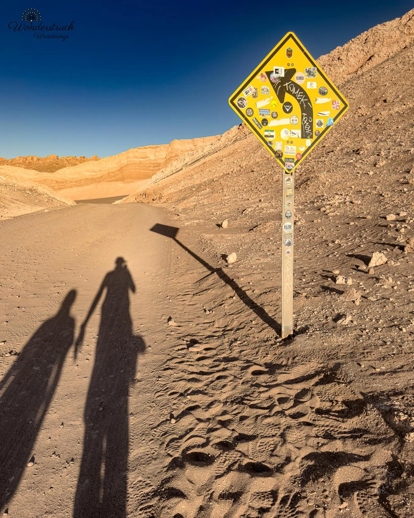
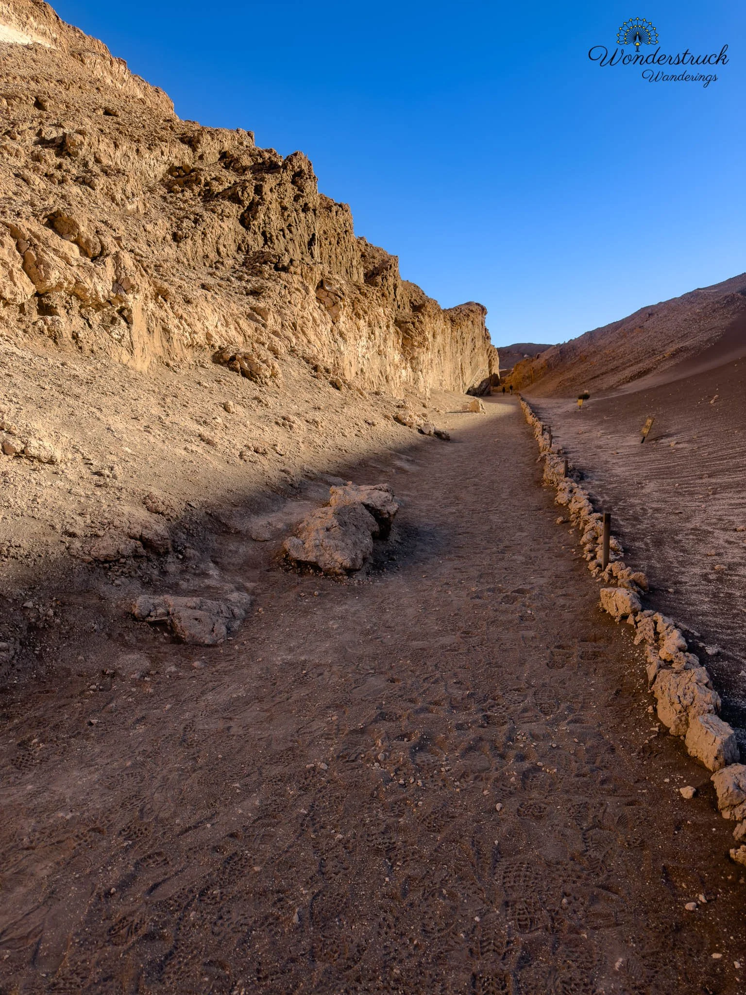
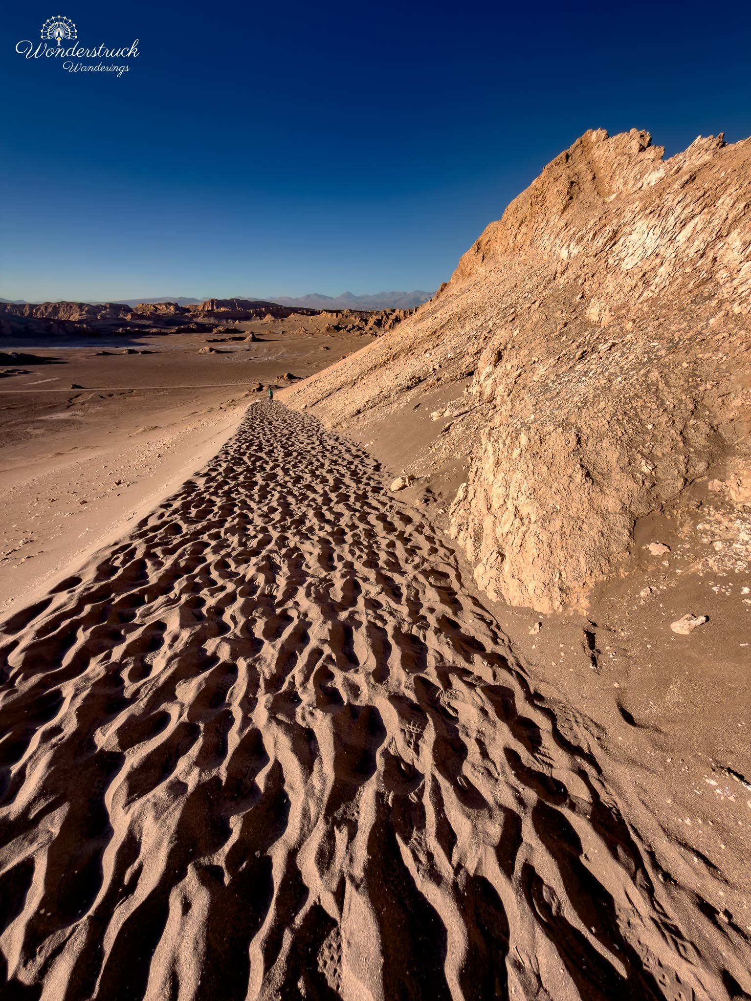
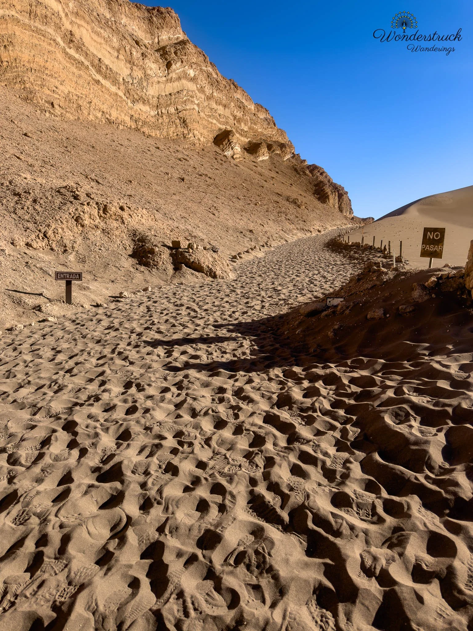
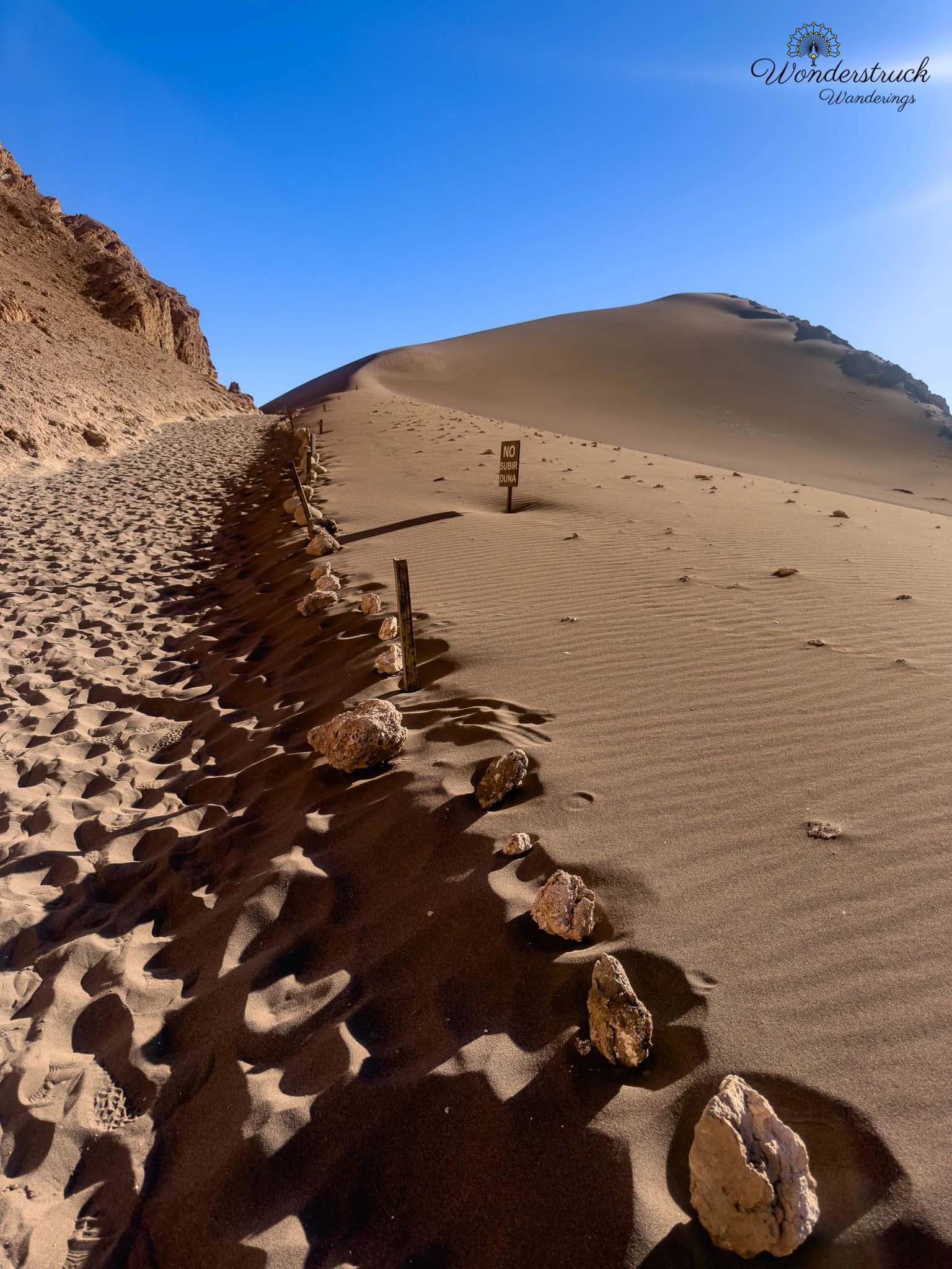
Our afternoon plan was to return to Valle de la Luna and cover the parts we had missed on our first visit. The main target was the Duna Mayor trail, especially Viewpoint 1 and Viewpoint 2, followed by sunset from the Ckari sector if everything worked out. On the previous day, we had spent more time around Tres Marías and Mina Victoria, but Duna Mayor still felt like unfinished business. It is one thing to see Valle de la Luna from the road or from a few short stops; it is another to walk up onto the dune-and-ridge system and look across the Cordillera de la Sal from above. Most visitors seem to focus mainly on the dune section and the second viewpoint before turning back, but we wanted to do the fuller walk and understand how the viewpoints connected. When we checked in, though, the plan changed. We were told that parts of the Ckari sector were closed because of damage from the recent 6.9 earthquake near Calama. We had heard about the earthquake but had not felt anything ourselves in San Pedro. Still, it was a reminder that the Atacama is not a frozen, unchanging landscape. The salt ridges, cliffs, valleys, and viewpoints may look ancient and permanent, but this is still an active geological region. Earthquakes, erosion, salt movement, wind, water, and time are still reshaping the desert. With Ckari no longer available for sunset, we focused fully on Duna Mayor. From the parking area, the trail started on a sandy section where we walked between the great dune on one side and a tall rock wall on the other. Almost immediately, the route felt different from the short roadside stops we had done the day before. We were inside the landscape now, not just looking at it from the edge. The sandy floor, salt-crusted patches, and high eroded walls created a natural corridor that slowly pulled us toward the ridge. After that first sandy stretch, the trail moved into the shadow of the ridges and began climbing gradually. Since we were doing the walk in the late afternoon, the shade helped a lot. The route itself is not long or technical, but the combination of loose footing, dry air, altitude, and desert exposure makes it feel more substantial than the distance suggests. Timing matters here. In harsh midday light, the formations can look flat and washed out, but later in the day the ridges begin to regain shape, texture, and shadow. Eventually, we reached the intersection where a right turn leads toward Viewpoint 2, the more direct dune viewpoint that many guided groups seem to use as their main stop. Instead of turning there immediately, we continued onward. The trail kept climbing with small twists, short ups and downs, and changing views back into the valley. This was the part of Valle de la Luna we had been missing the day before—not just a named stop, but the feeling of actually moving along the ridge and watching the desert open in multiple directions.
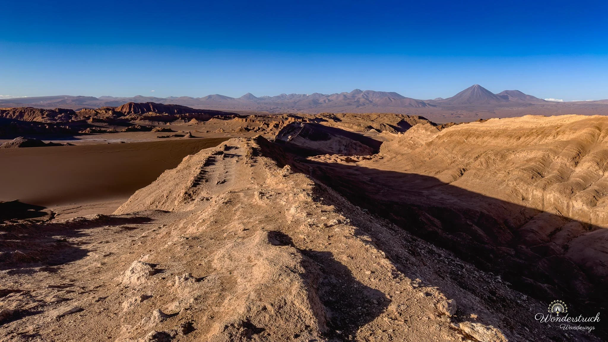
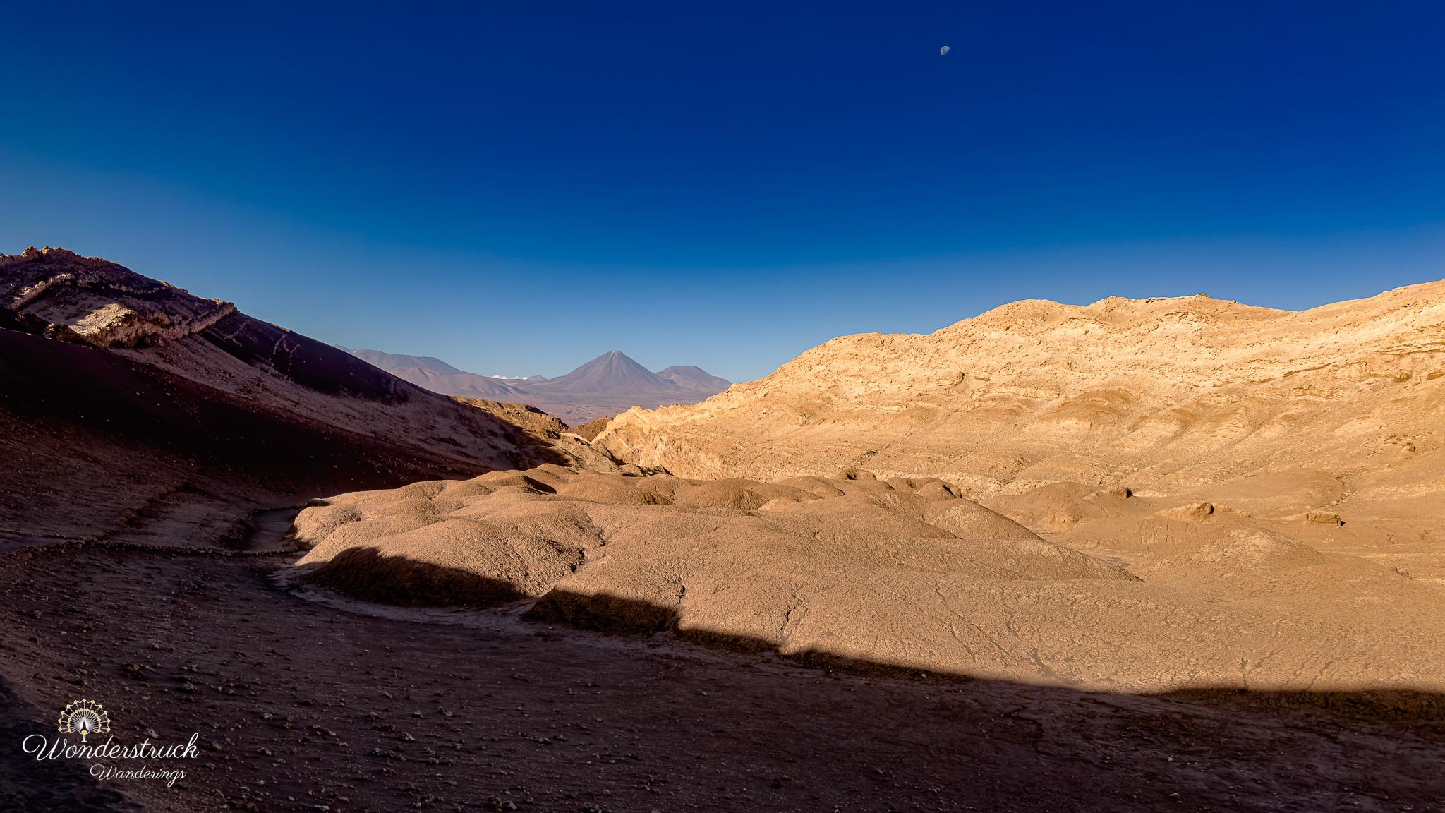
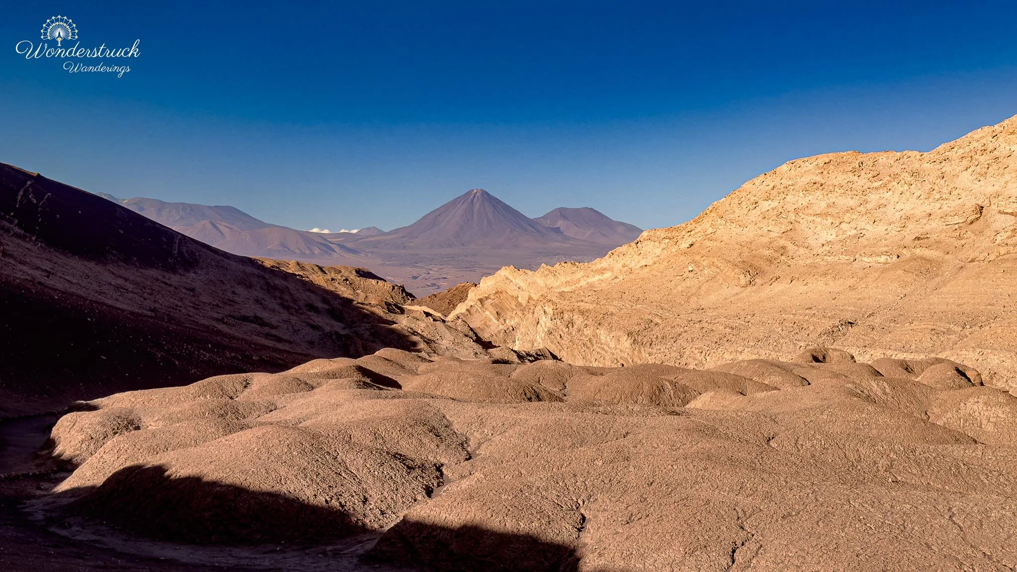
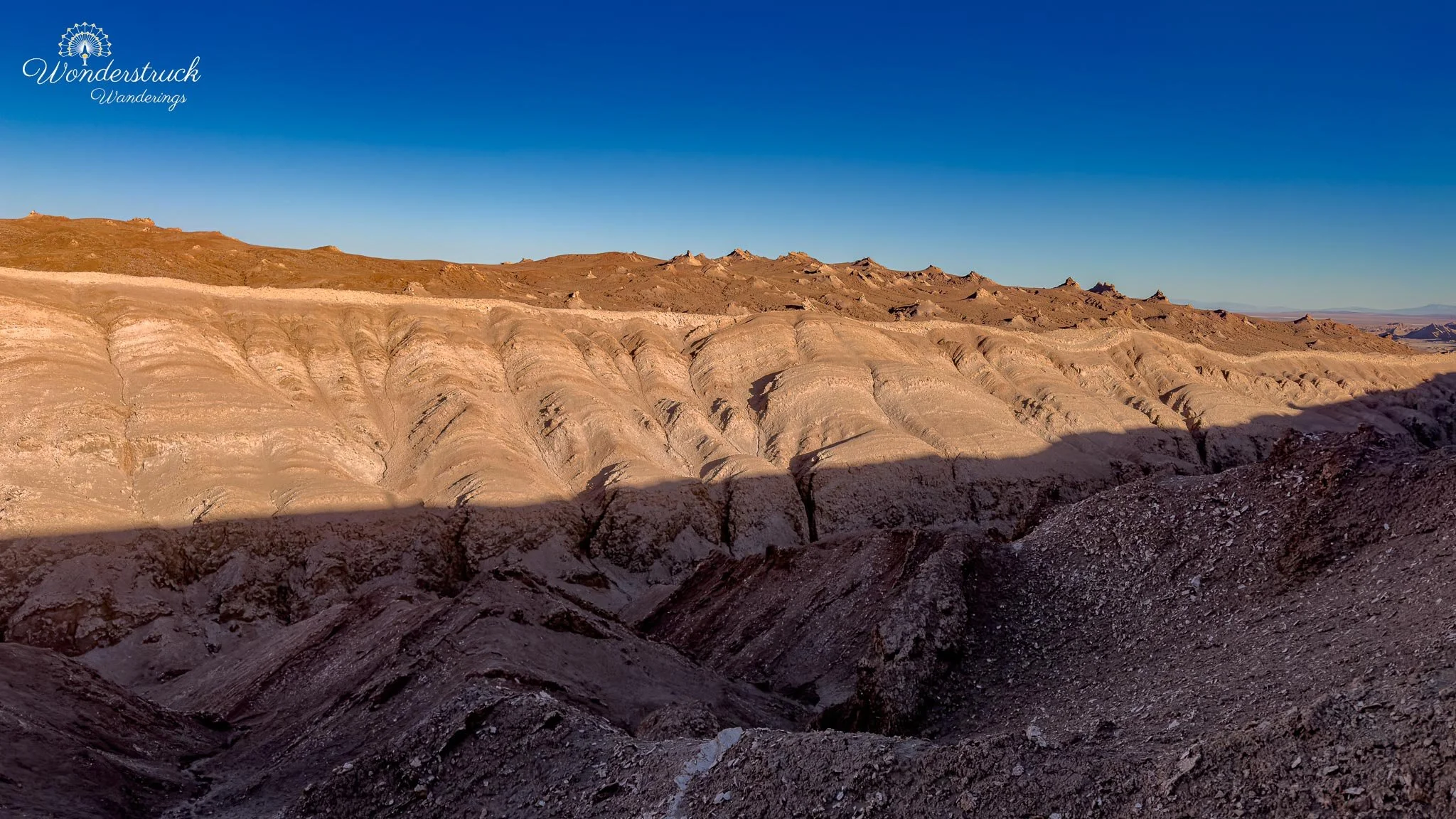
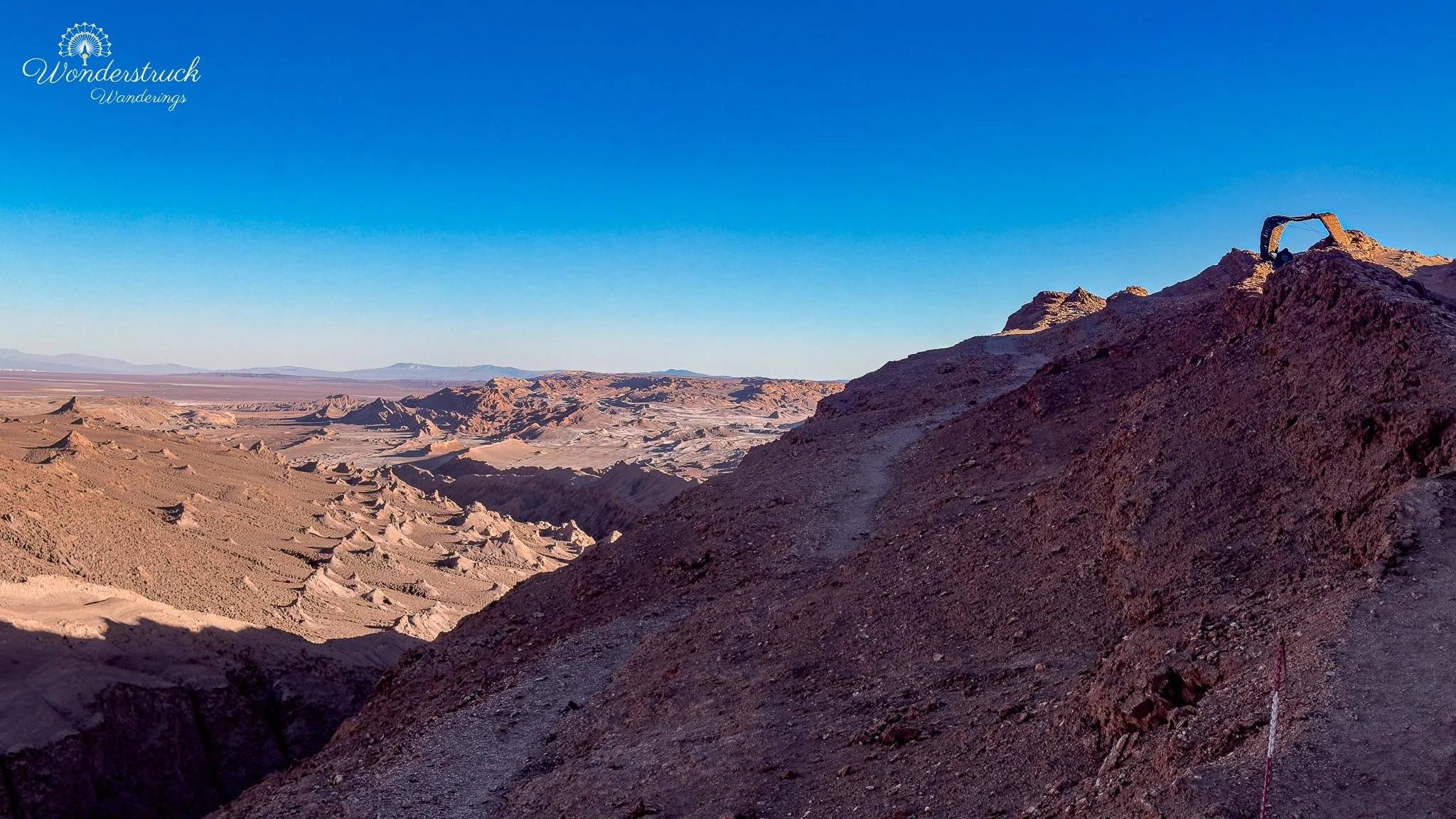
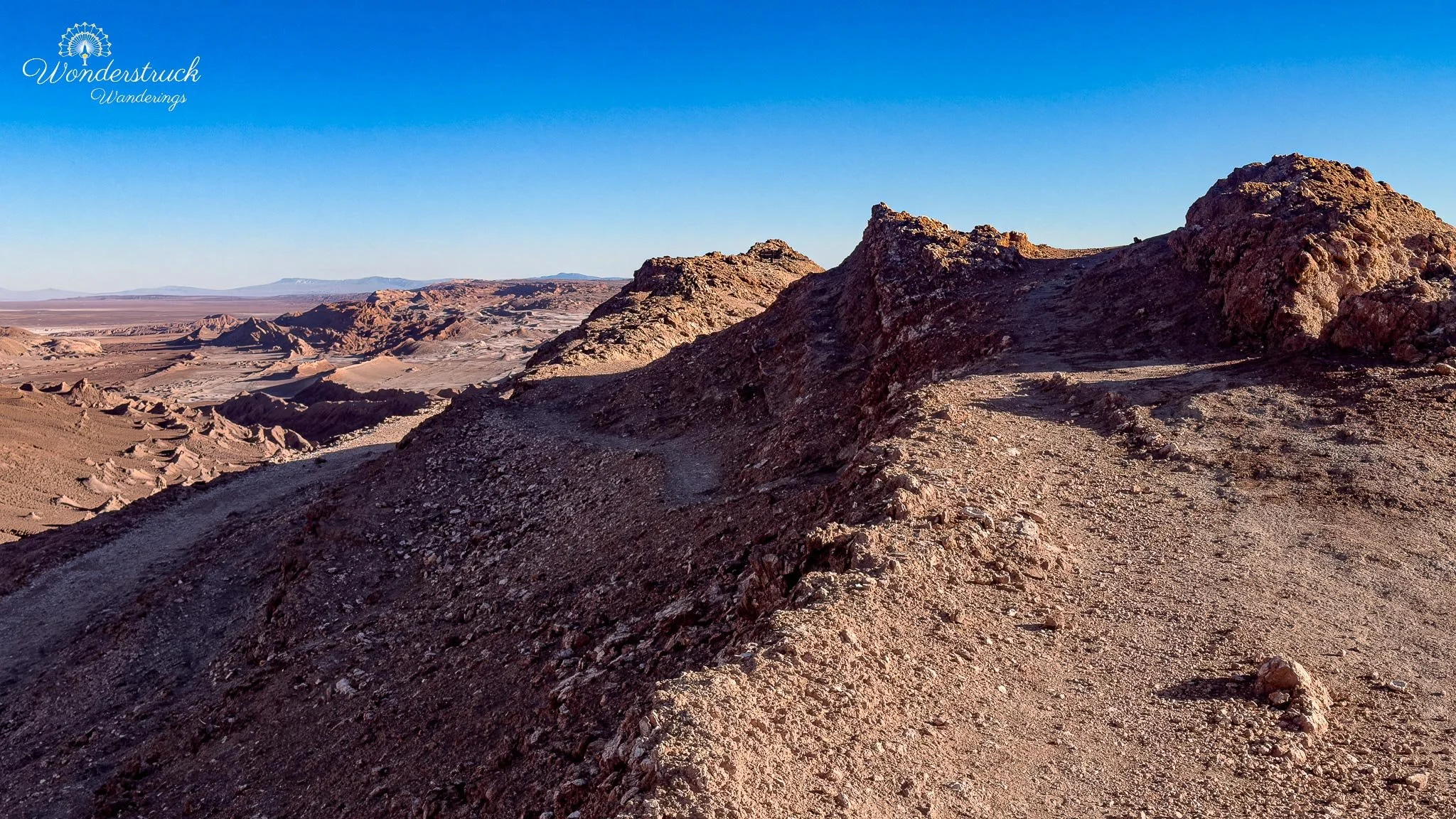
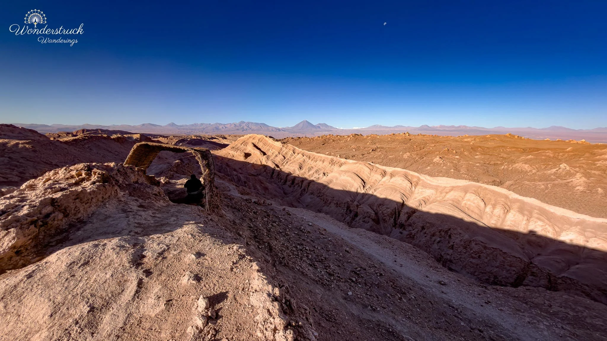
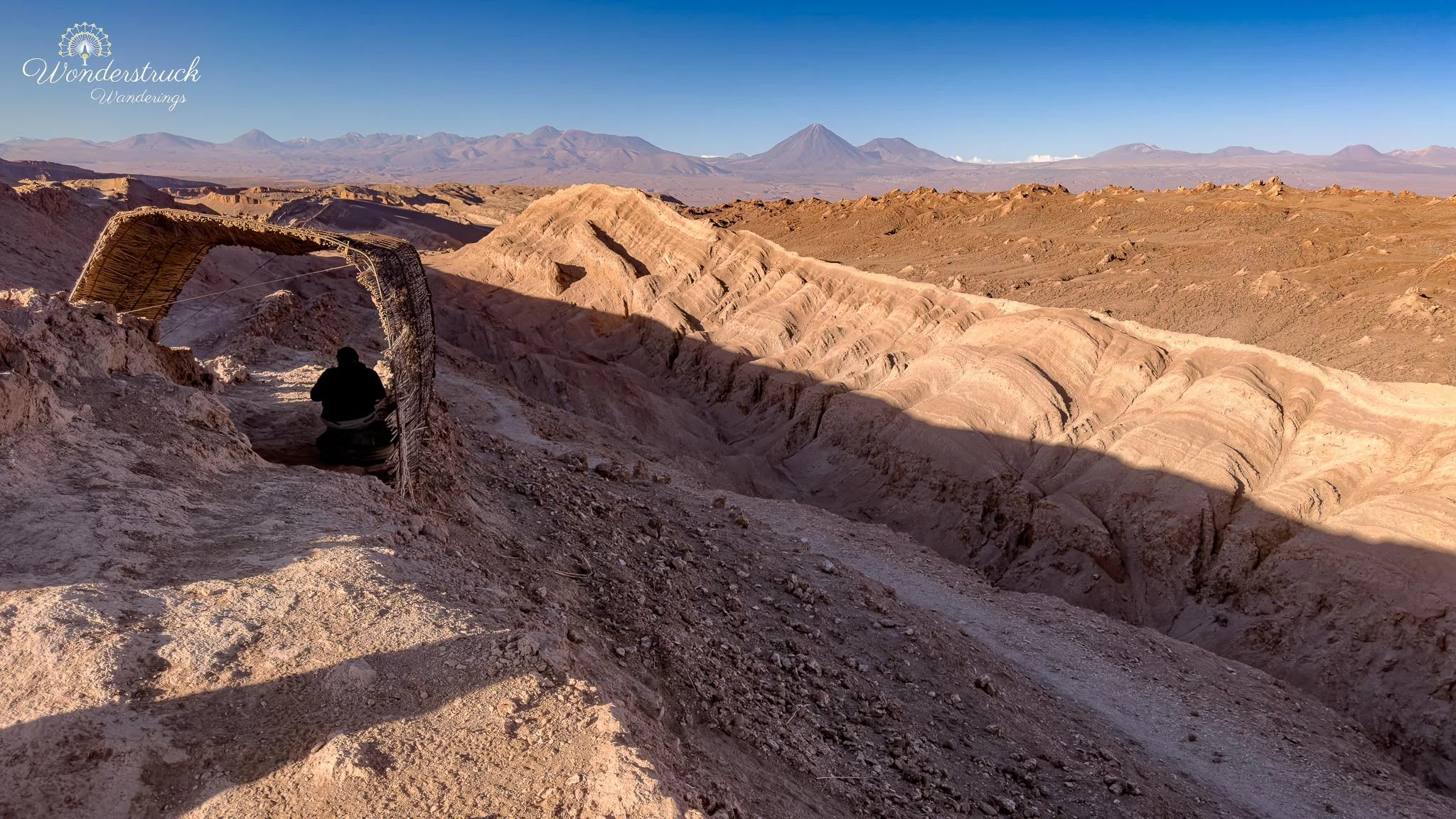
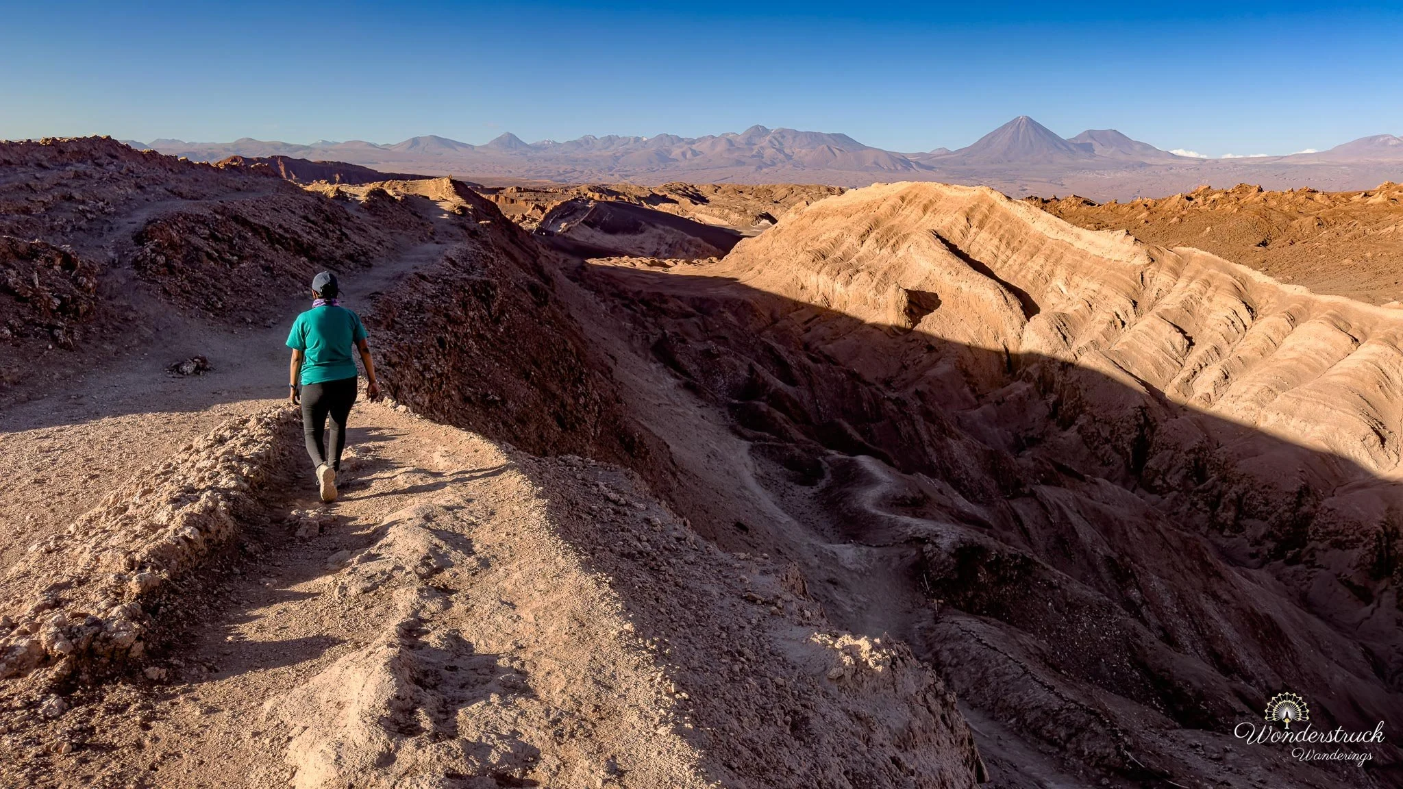
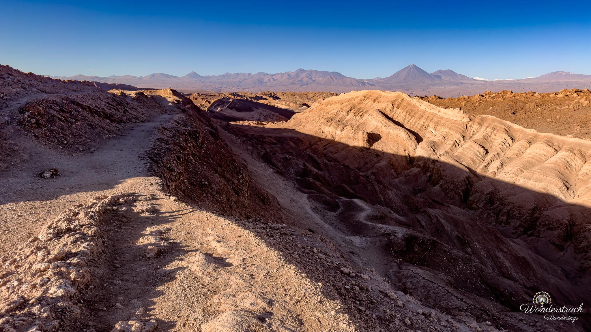
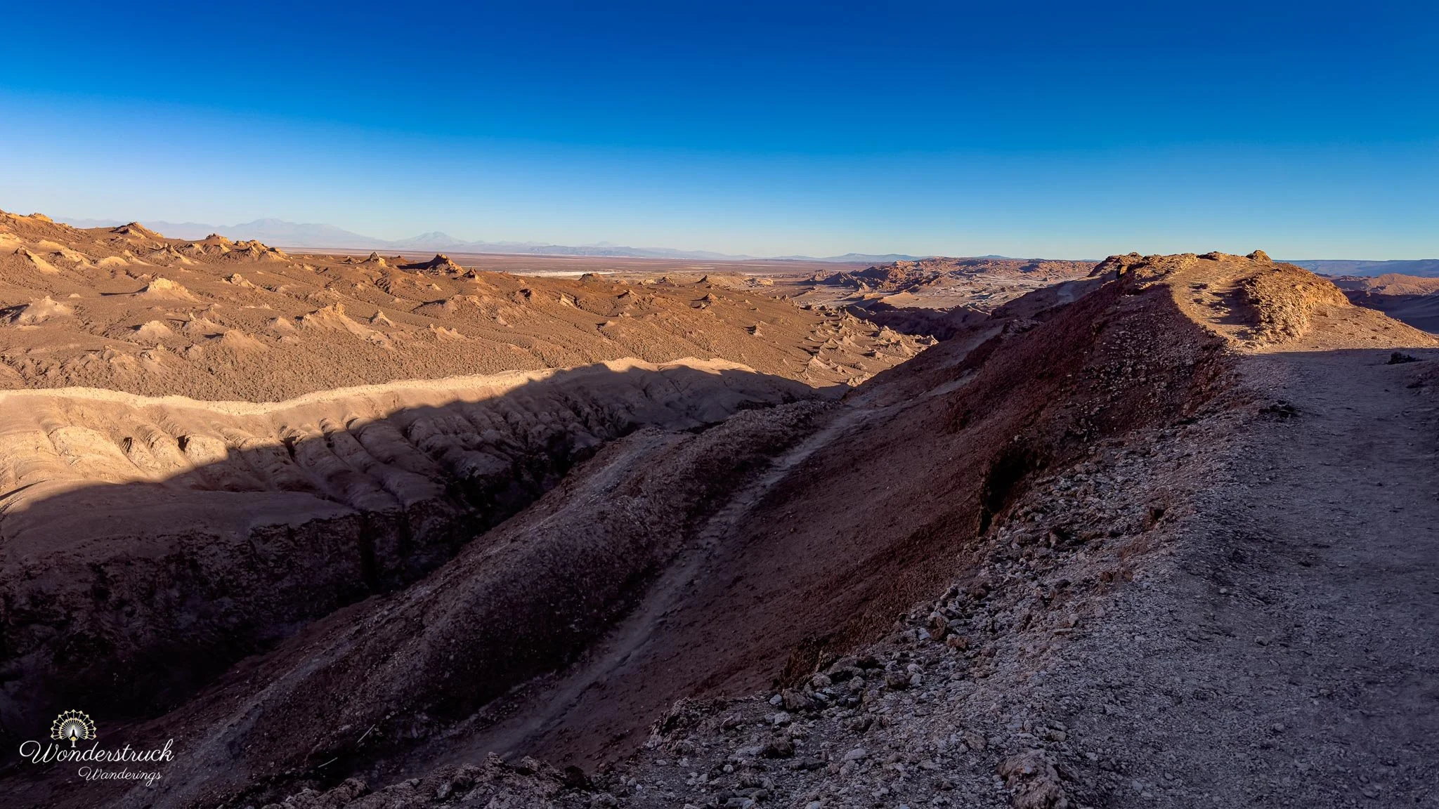
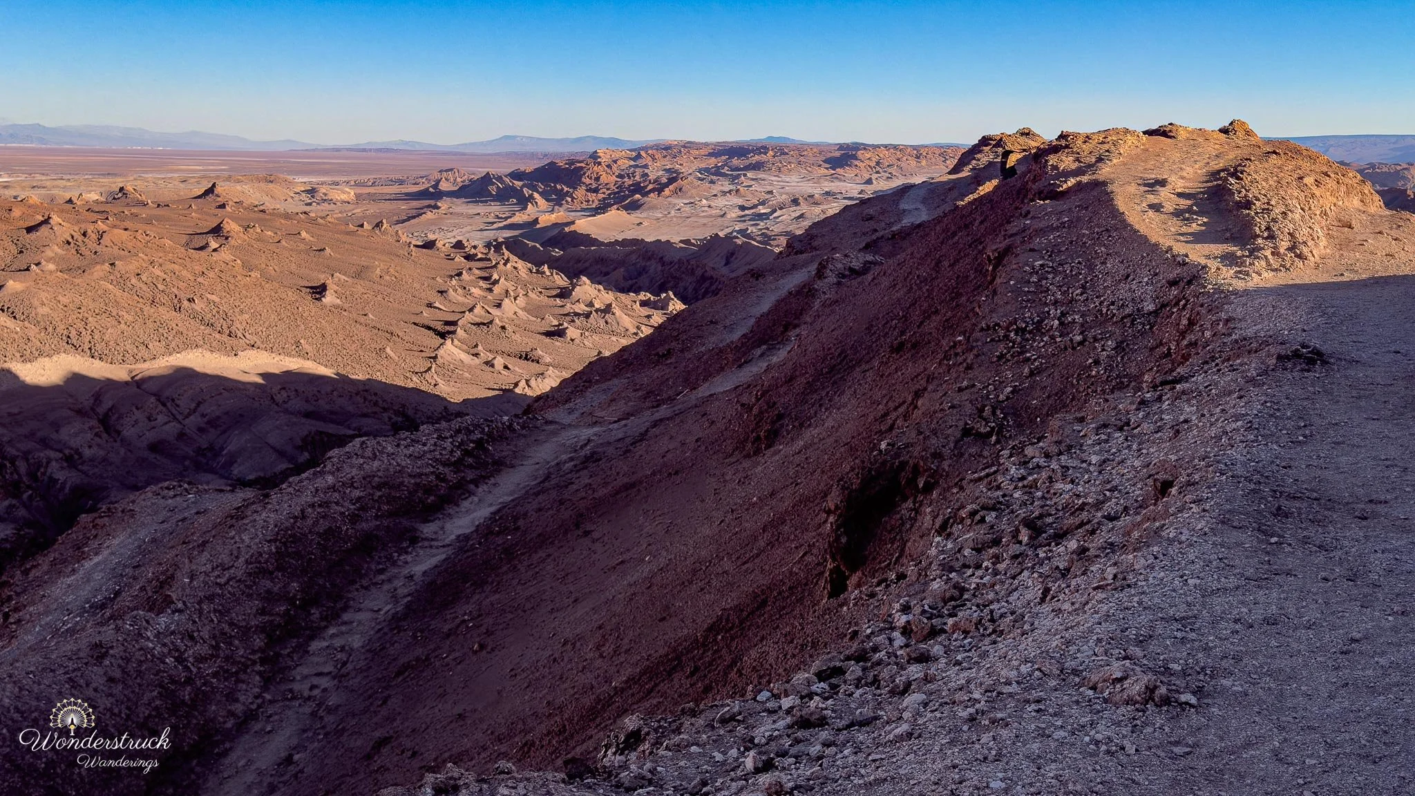
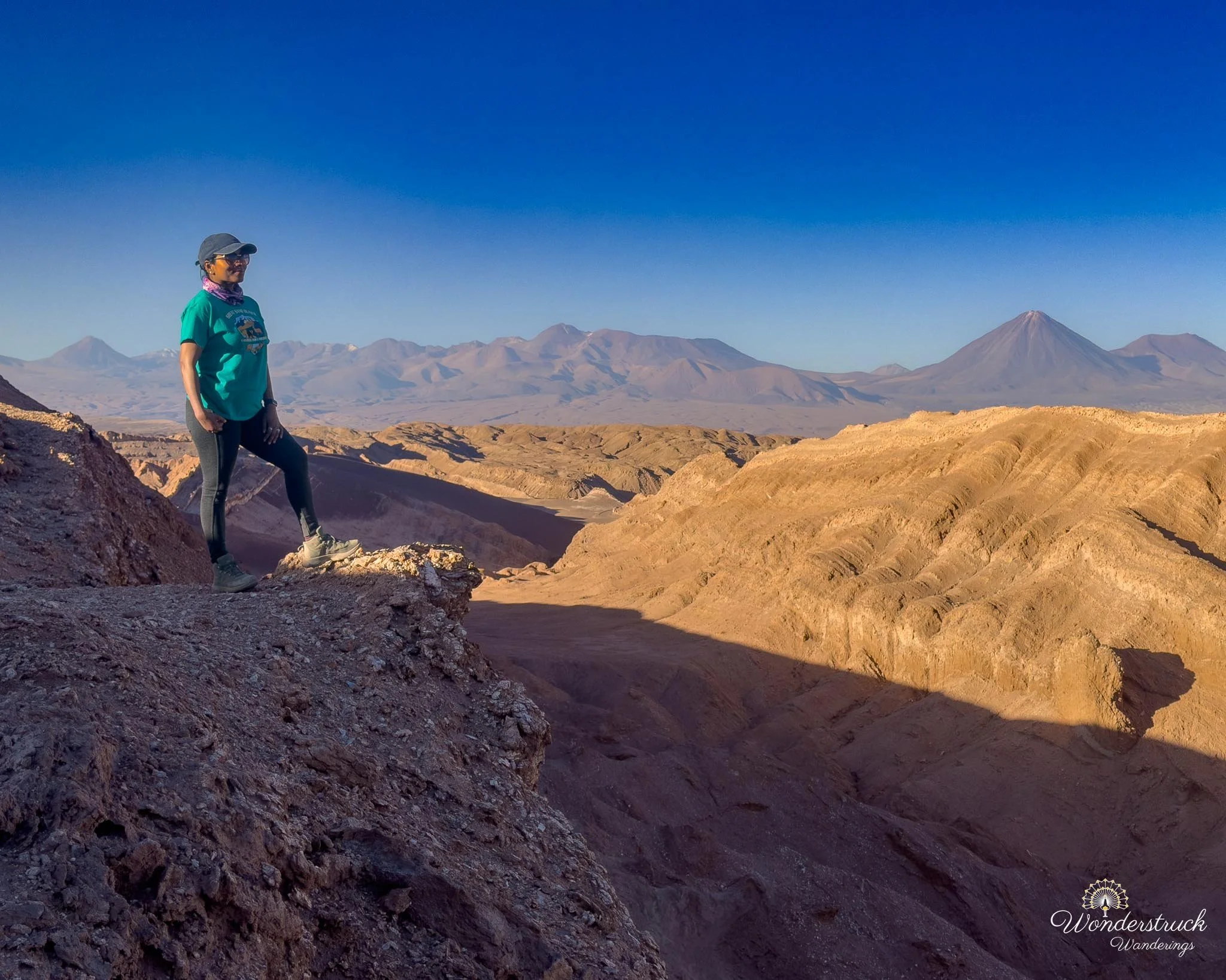
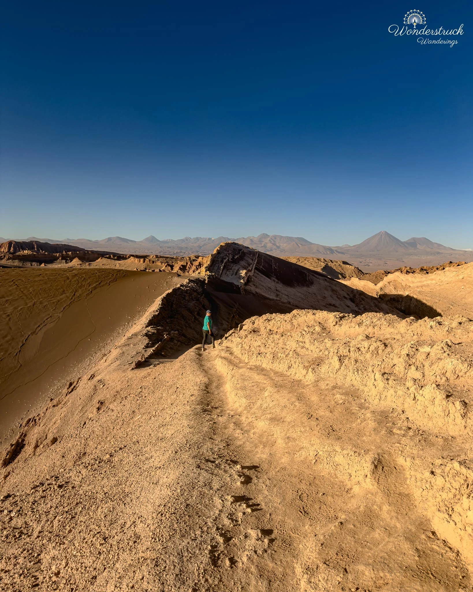
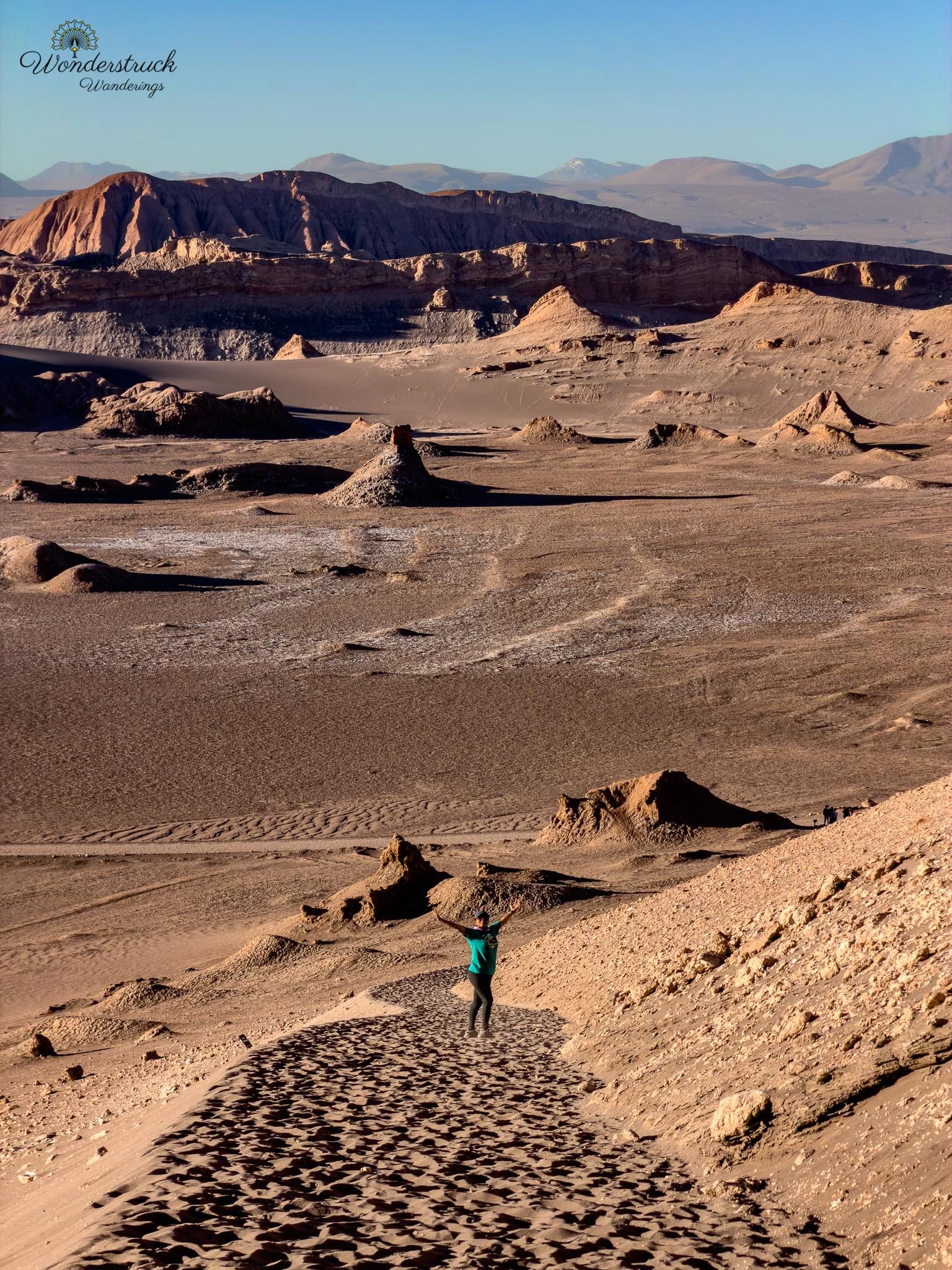
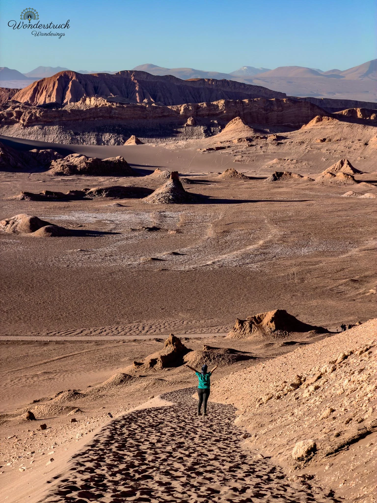
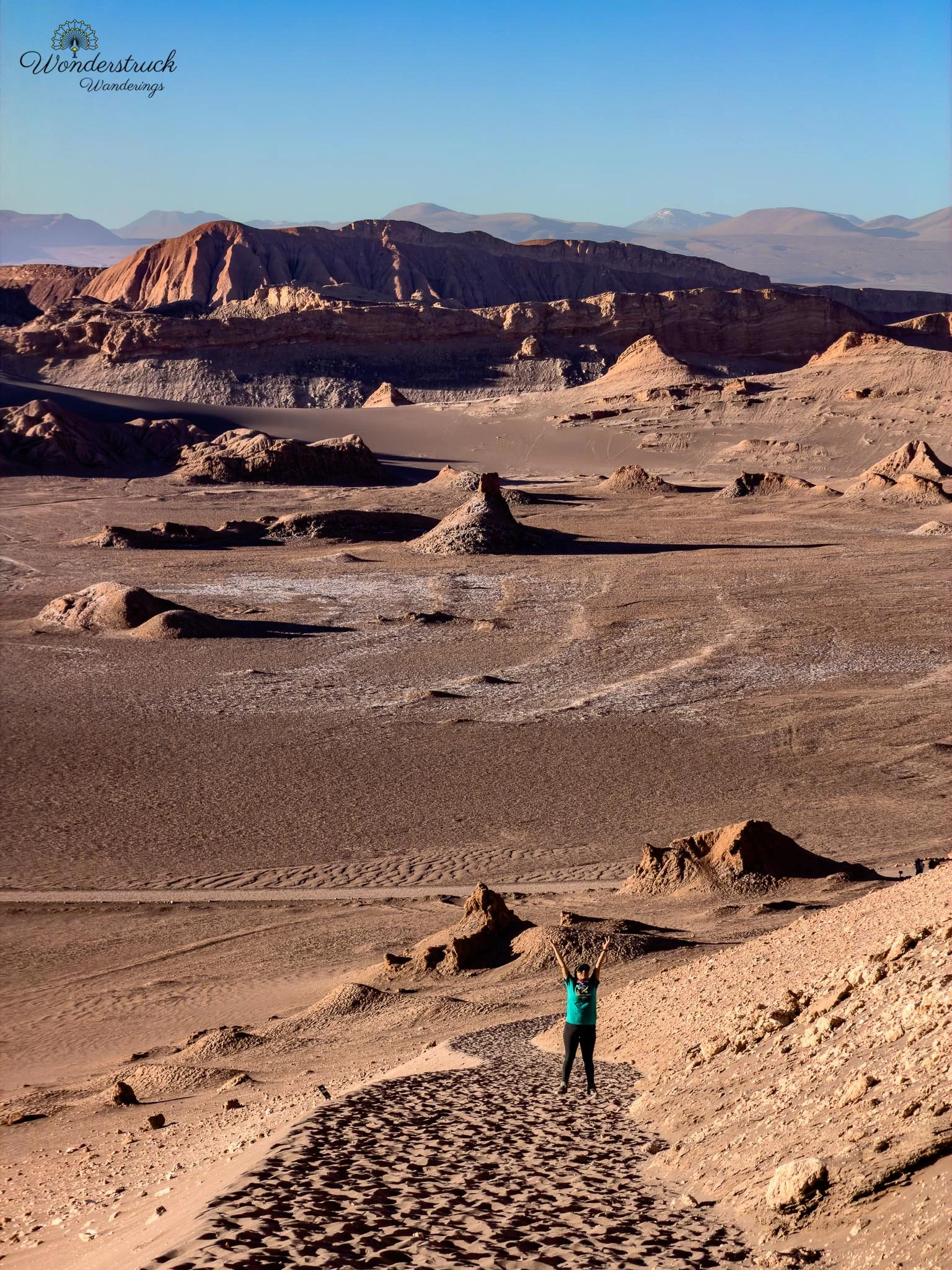
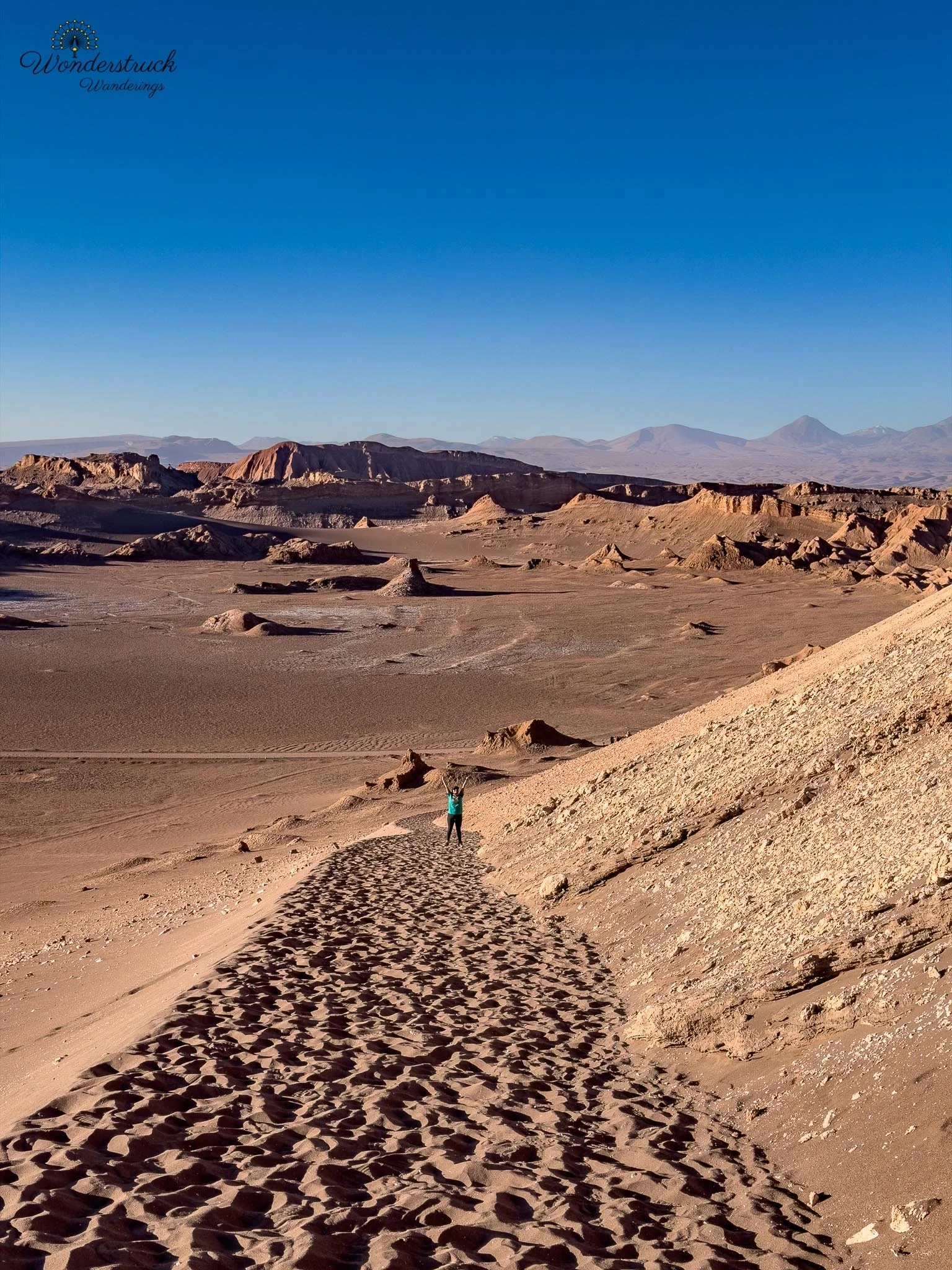
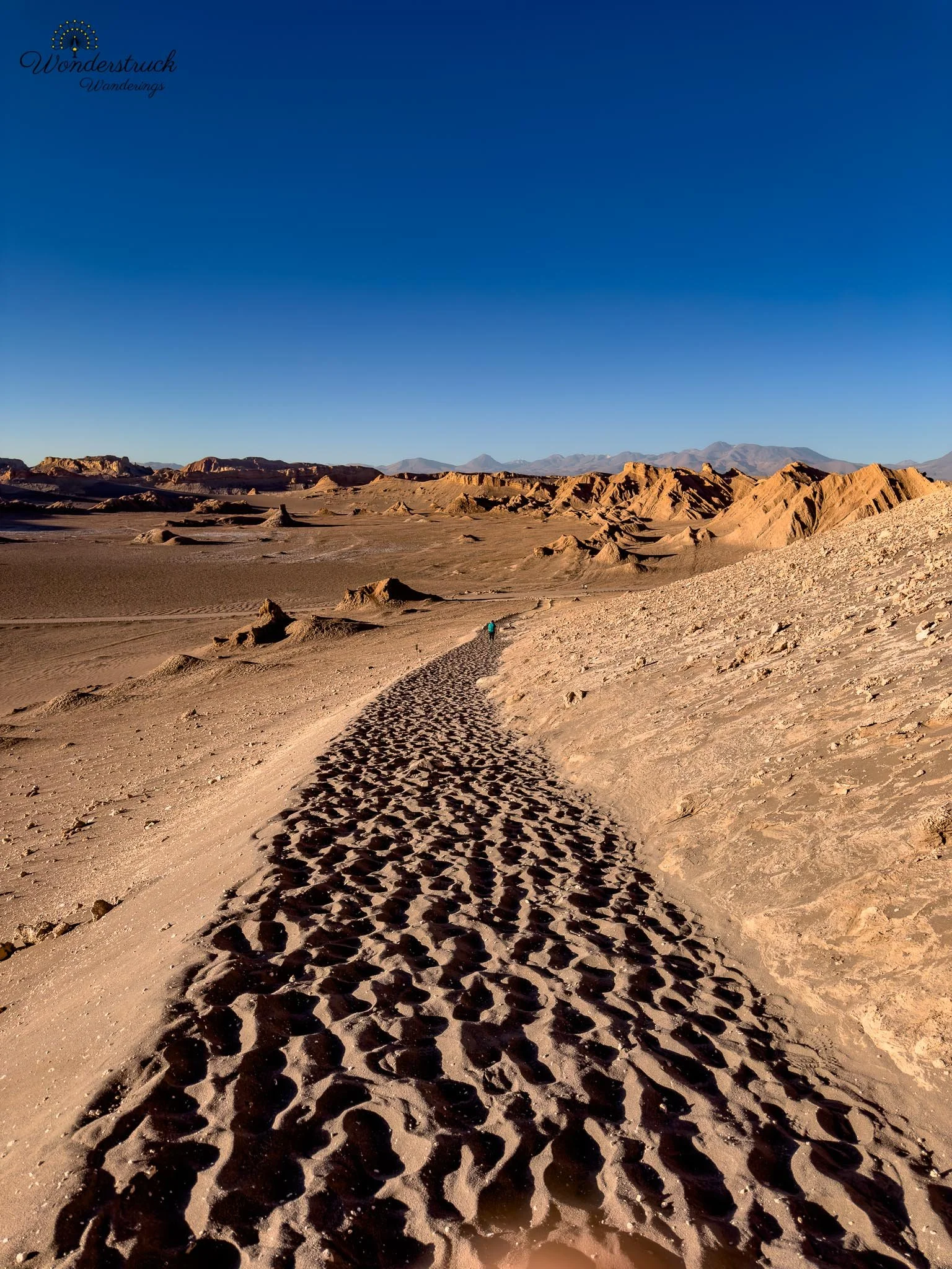
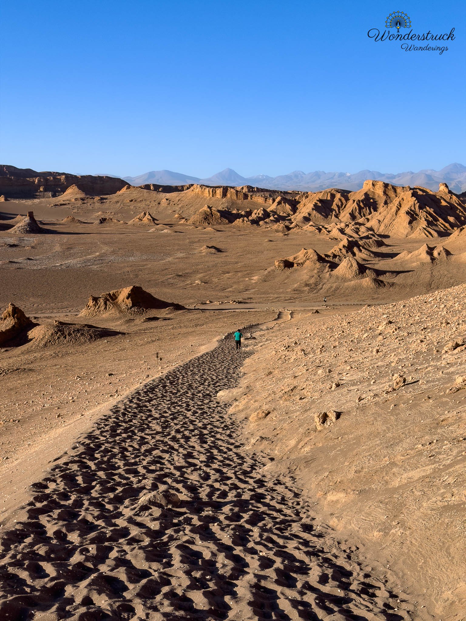
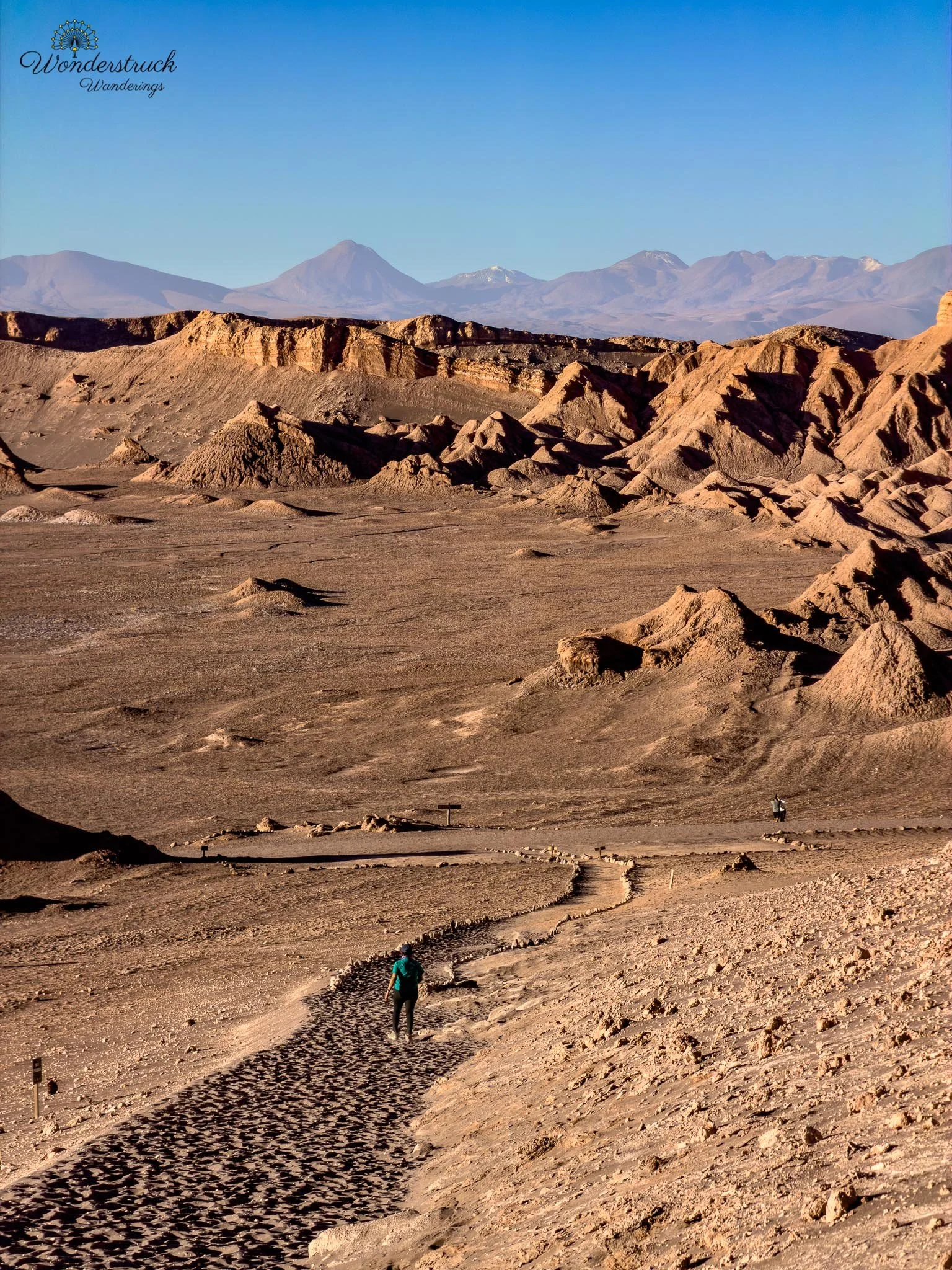
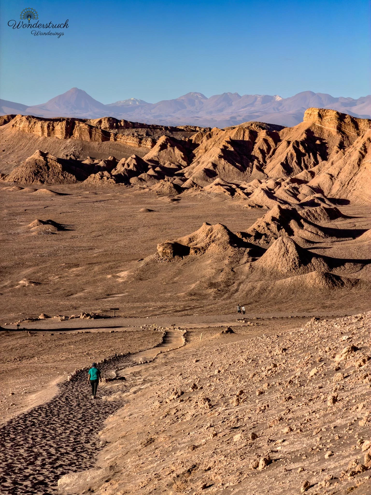
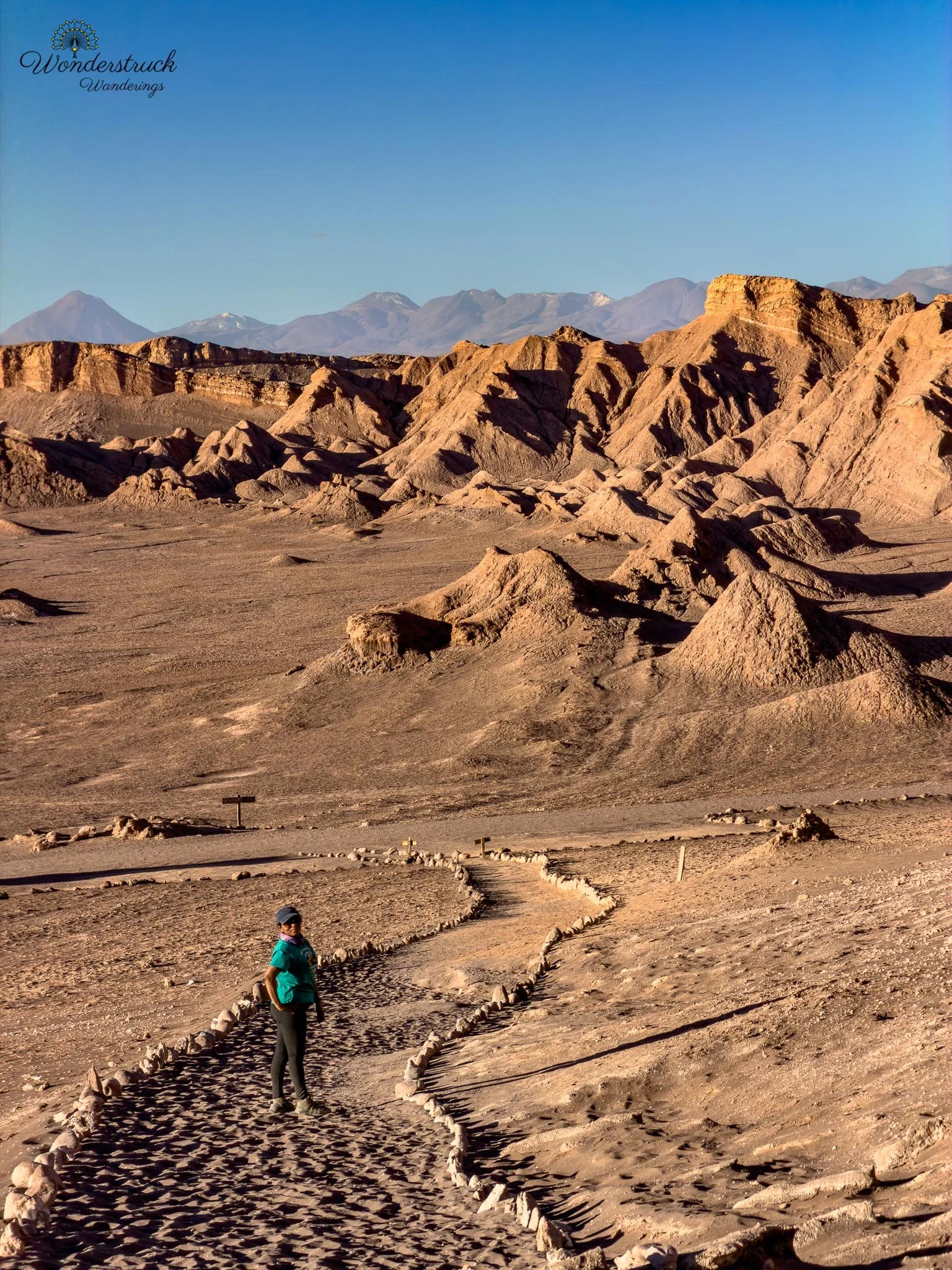
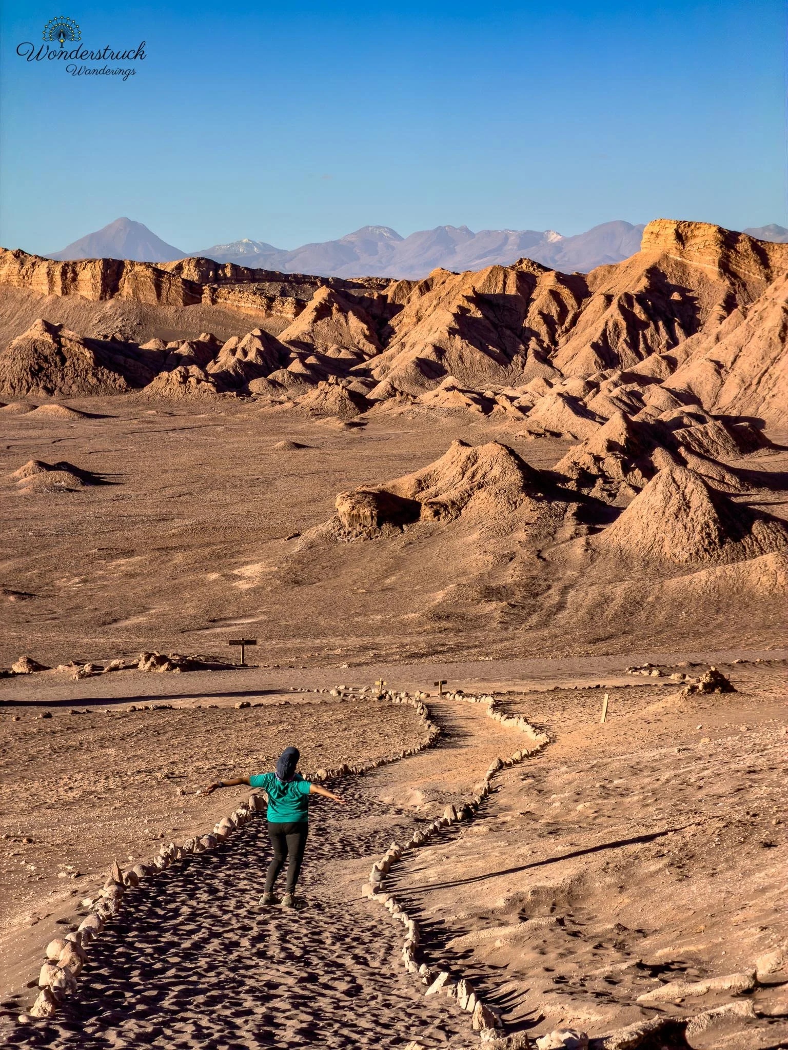
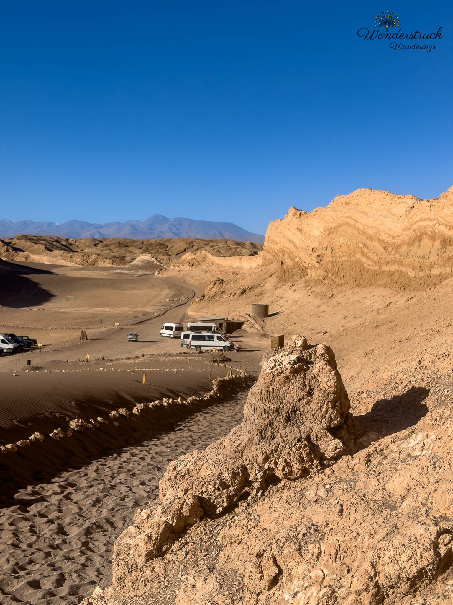
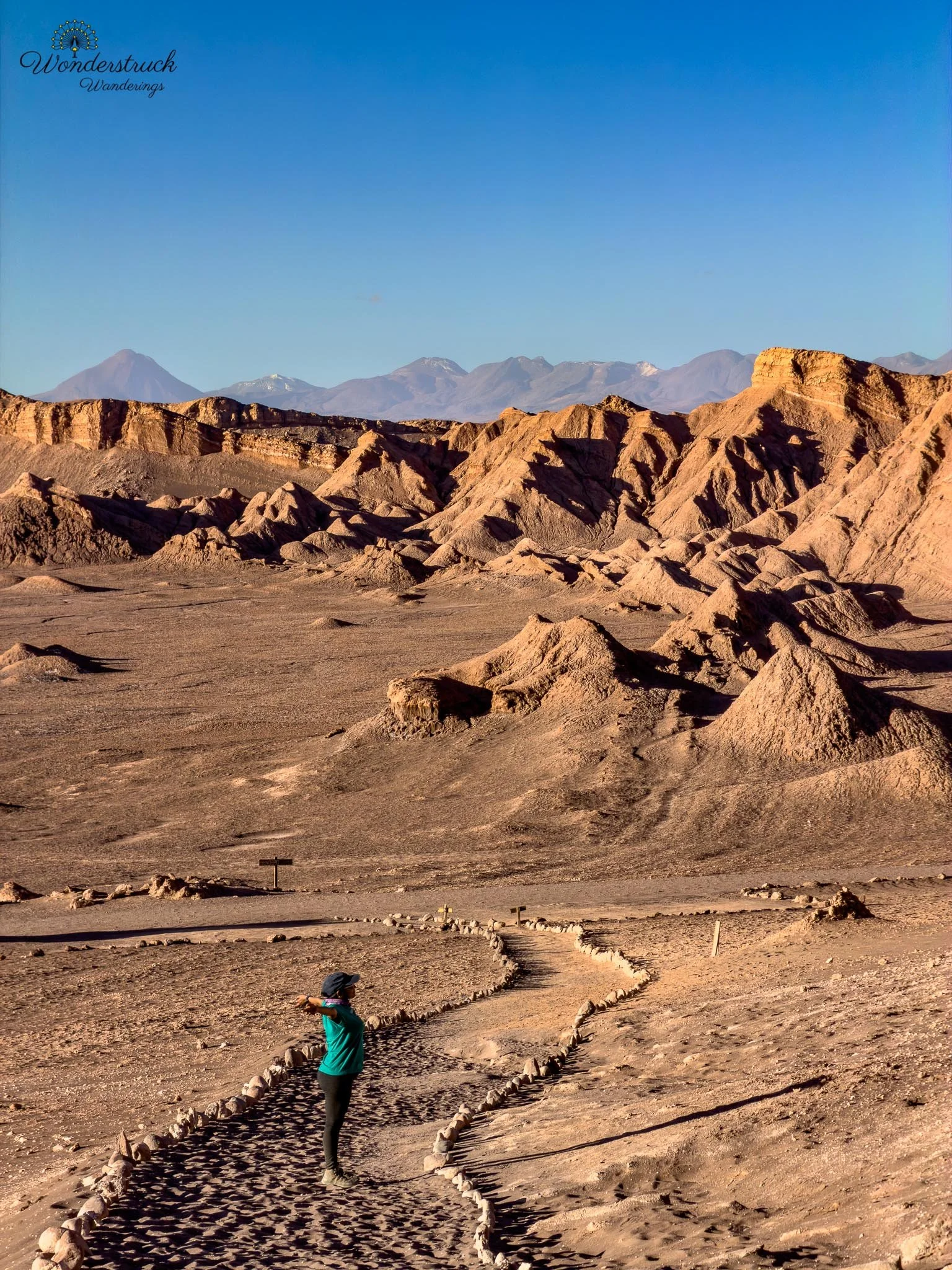
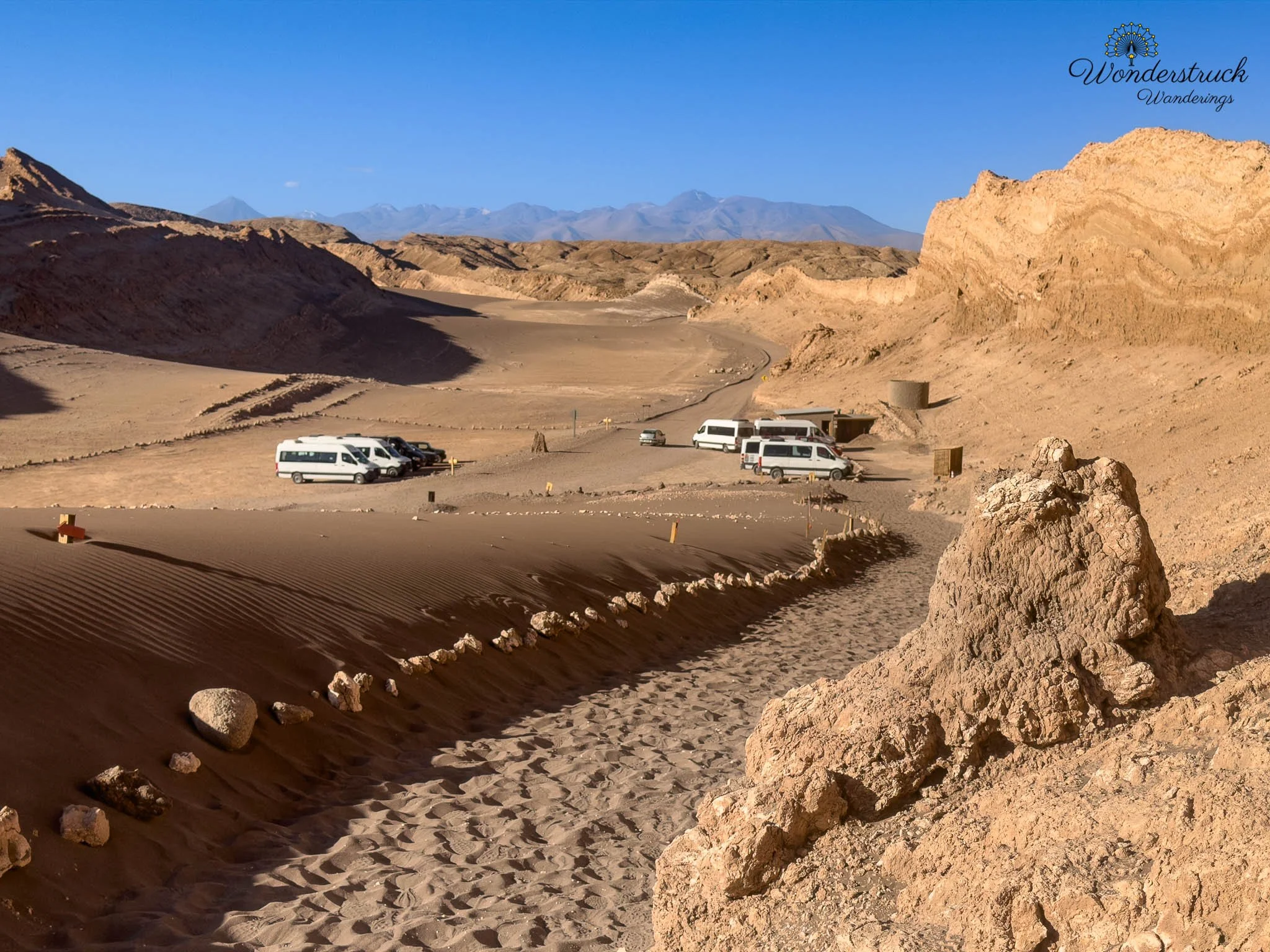
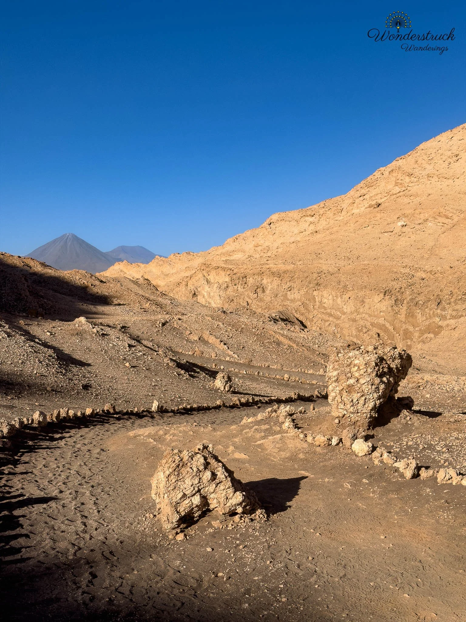
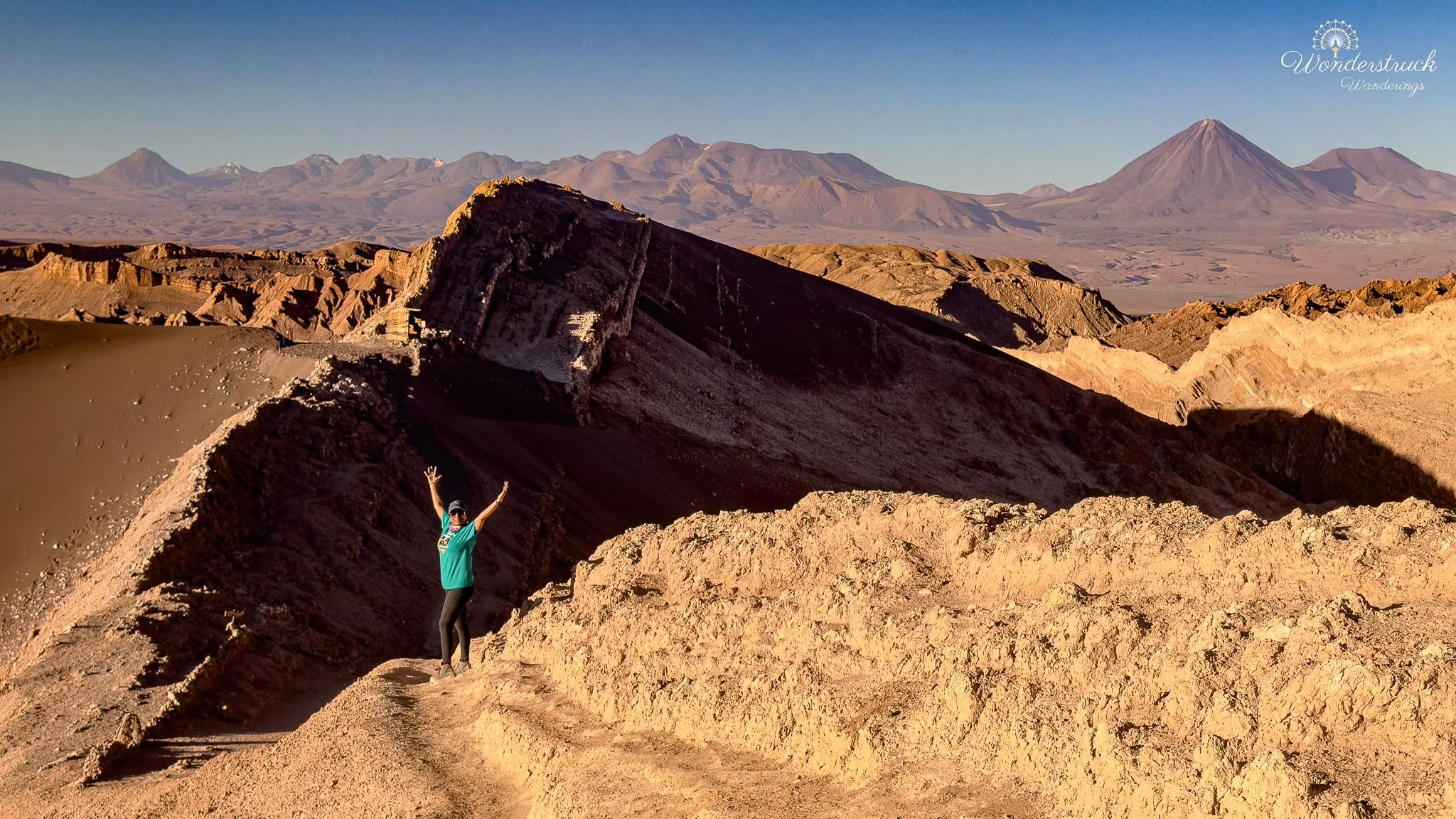
From the upper section near Viewpoint 1, the view was excellent, wishing they would let us go little closer to the edge to get a better view. Below us, the valley floor looked carved and cracked, with white salt lines cutting through brown and gray earth. Around us, the Cordillera de la Sal showed its folded, eroded character, with ridges stacked like dry waves. In the distance, Licancabur Volcano rose with its familiar triangular shape, giving the whole scene a strong visual anchor. Every time we saw Licancabur from a new place, it felt like the Atacama was reorienting us again. And in front of us was the enormous sweep of Duna Mayor itself, the sand mass that gives this part of the valley its name. From there, we continued along the ridge toward Viewpoint 2. This section was sunnier, but by then the light was low enough that it no longer felt harsh. Instead, it gave the dune shape and depth. The sand, salt, and eroded ridgeline came together in a way that made the landscape feel both sculpted and unstable, as if the whole valley were still being shaped in slow motion.
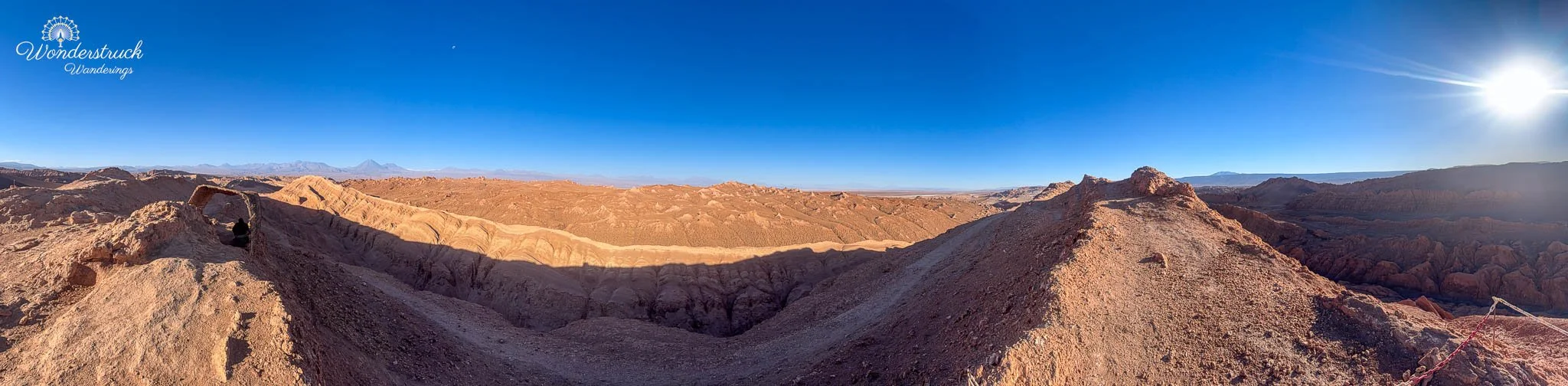
Viewpoint 2 gave us a wider perspective back across the dune system and surrounding salt formations, and by then the shadows were beginning to stretch across the valley floor. After the second viewpoint, the trail descended toward the road. From there, we walked back along the road to the parking area, closing the loop instead of simply retracing our steps. Altogether, the walk took us about an hour and a half, including photo stops and time at both viewpoints. It was not a difficult hike in a technical sense, but it was one of those desert walks where the dry air, loose ground, changing light, and constant photo stops make the time pass quickly. The Duna Mayor walk made Valle de la Luna feel more complete for us. Tres Marías gave us sculptural rock formations, Mina Victoria gave us close-up salt textures and mining history, but Duna Mayor gave us the big spatial understanding of the valley. From that ridge, it was easier to see why the place is so famous. The desert is not just one flat basin; it is a system of dunes, salt formations, eroded ridgelines, volcano views, and changing light. As the sun dropped lower, the shadows started to define the terrain, and the same landscape that can look harsh and flat in the wrong light began to show depth, relief, and drama.
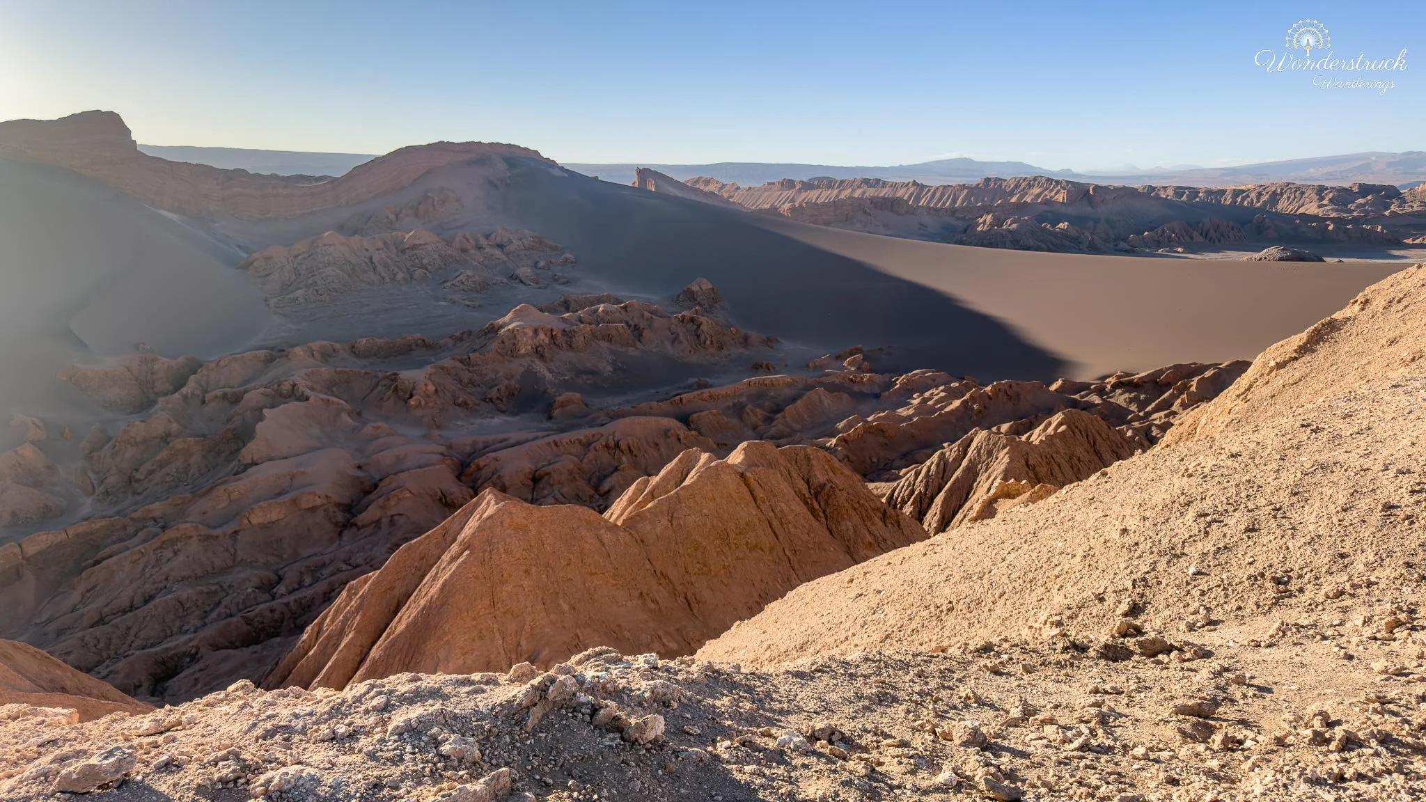
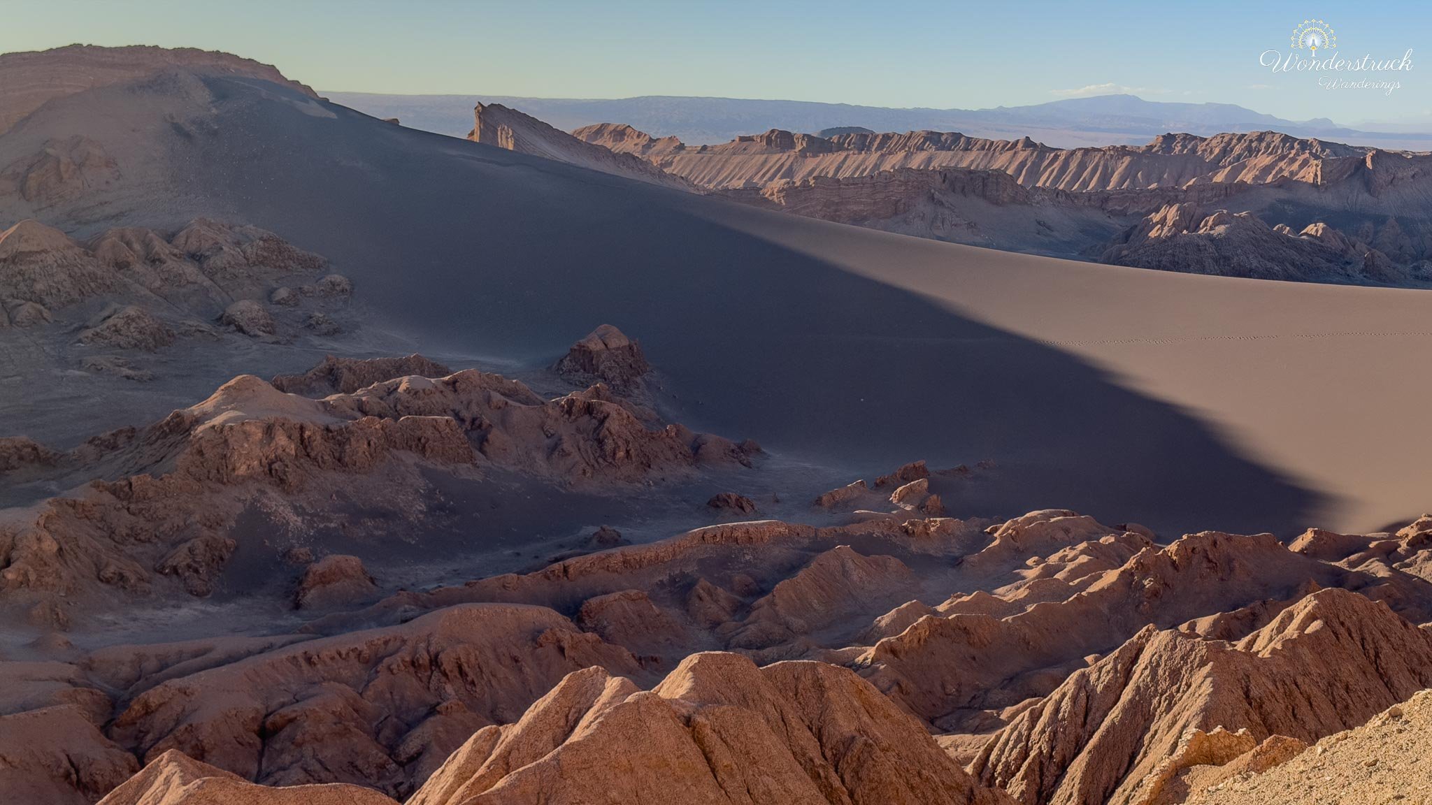
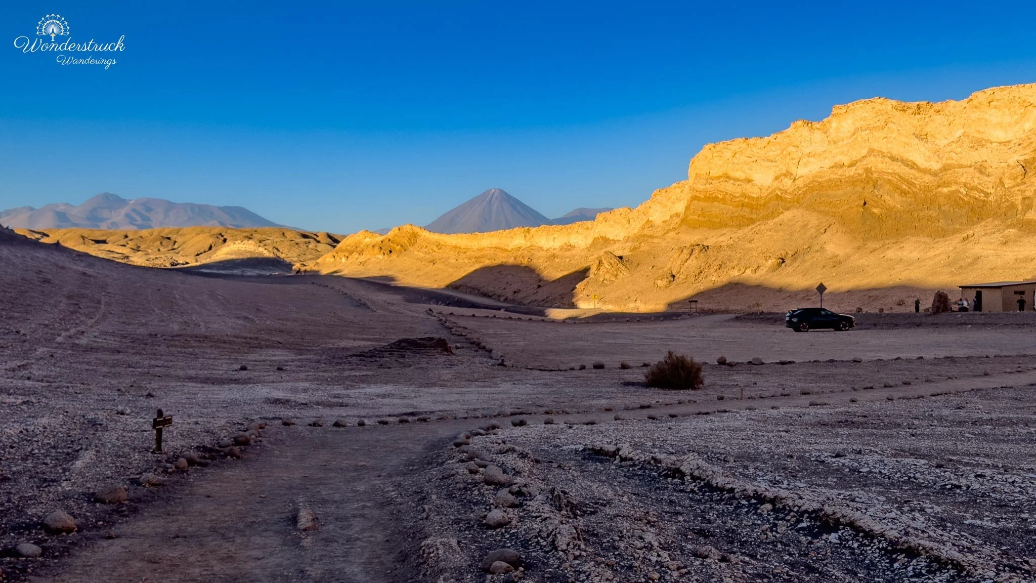
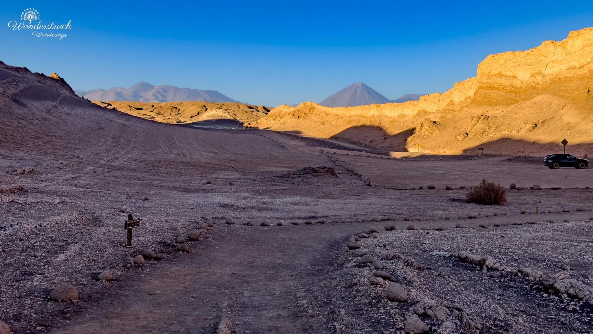
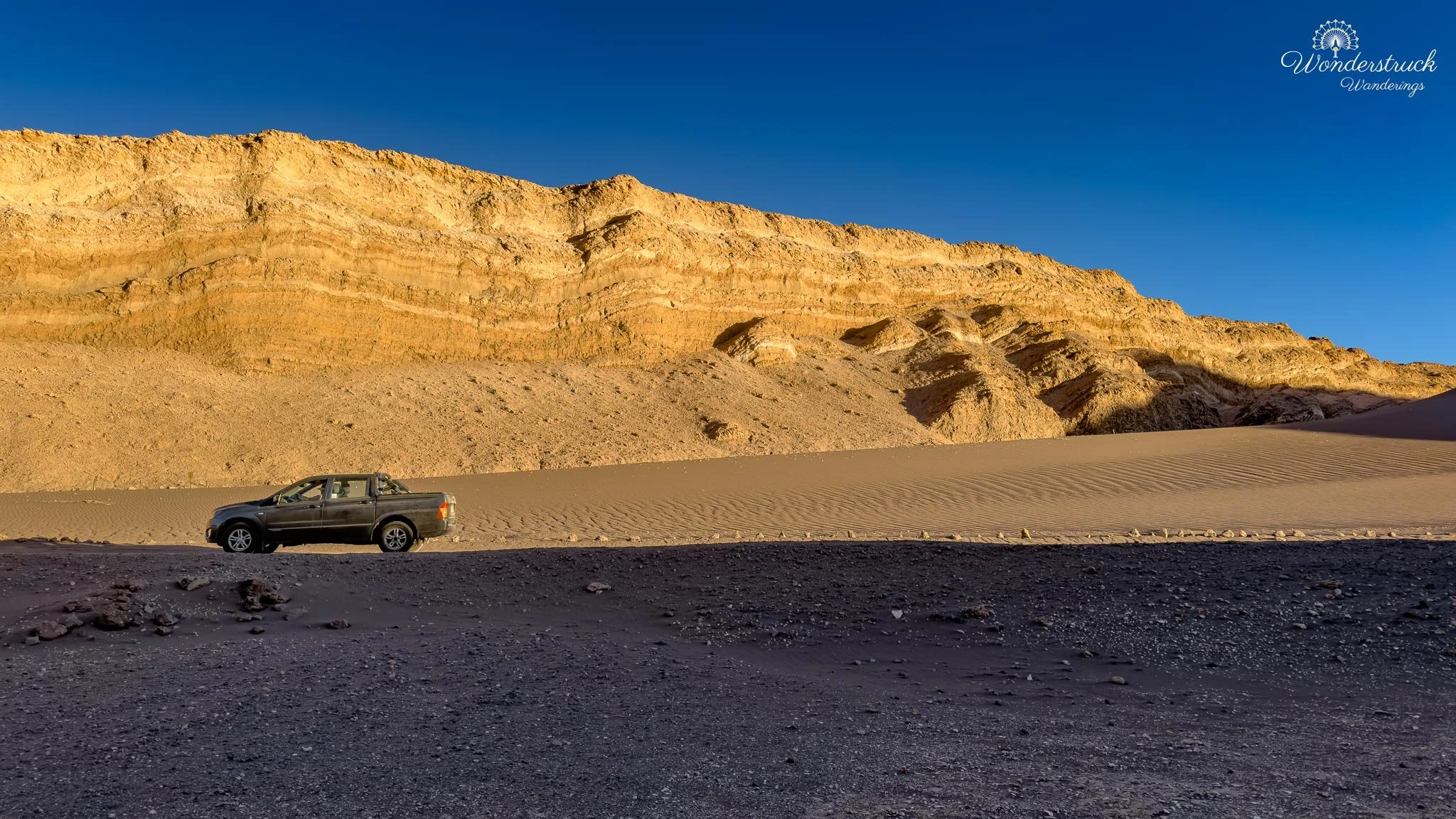
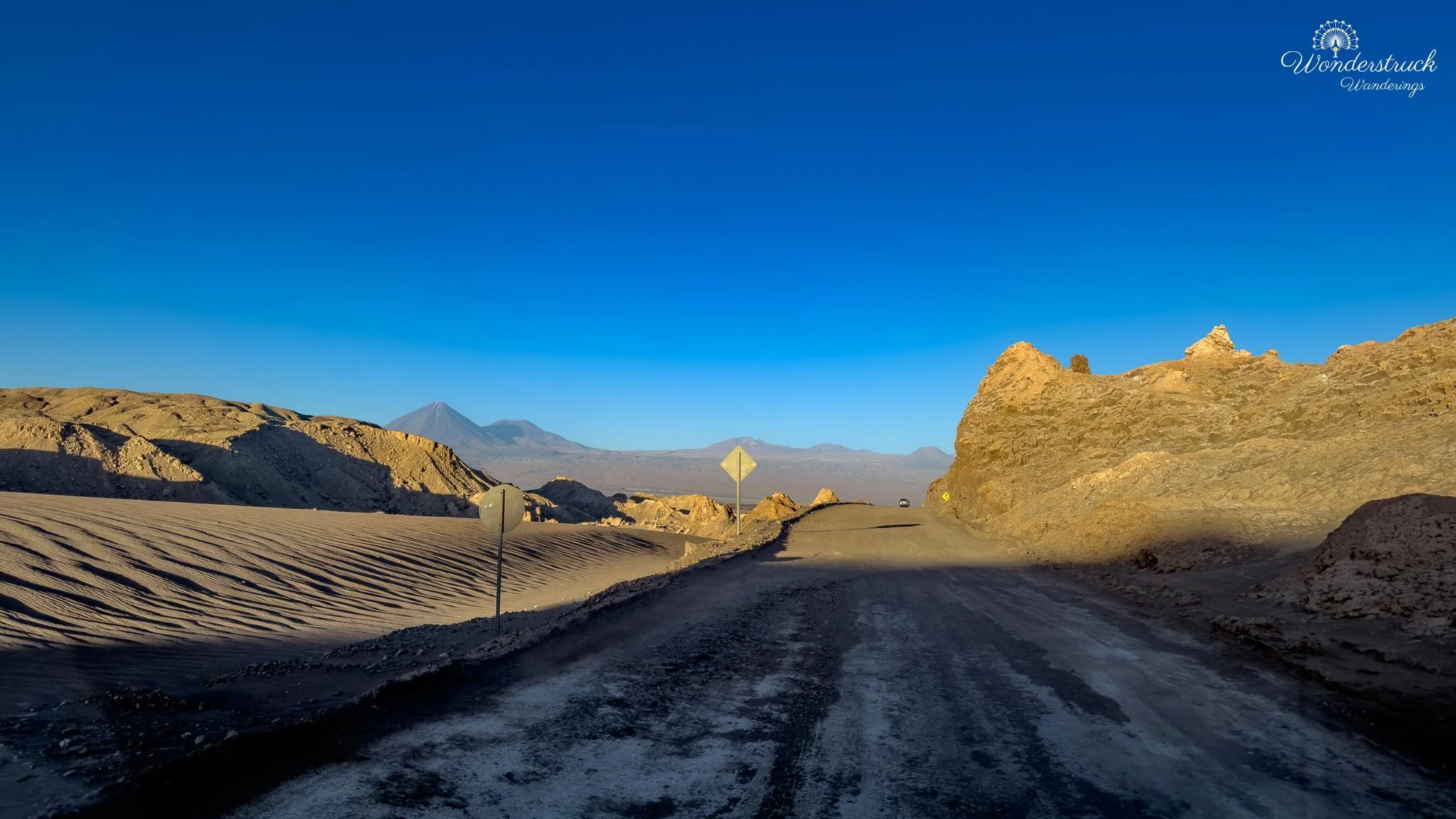
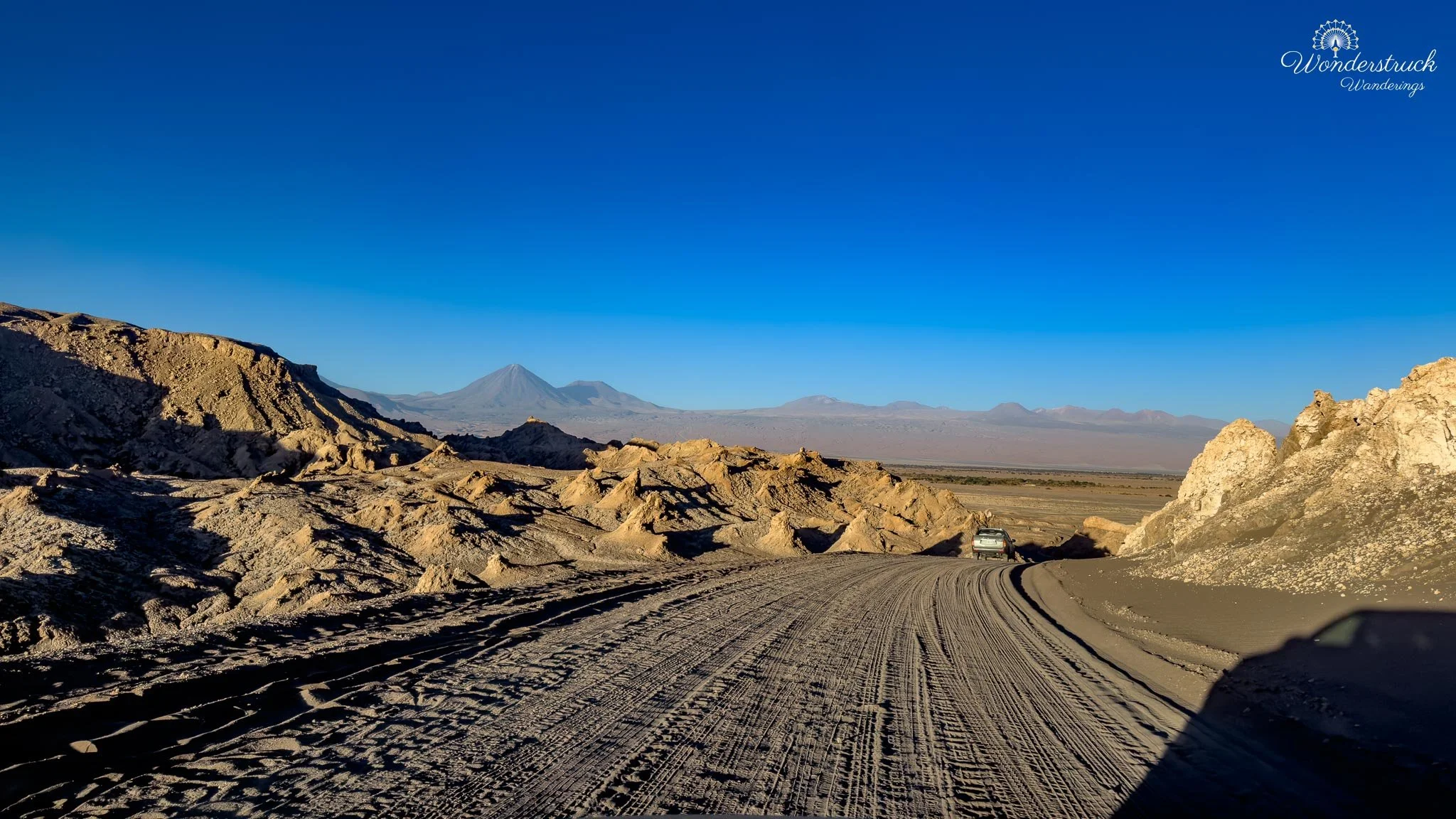
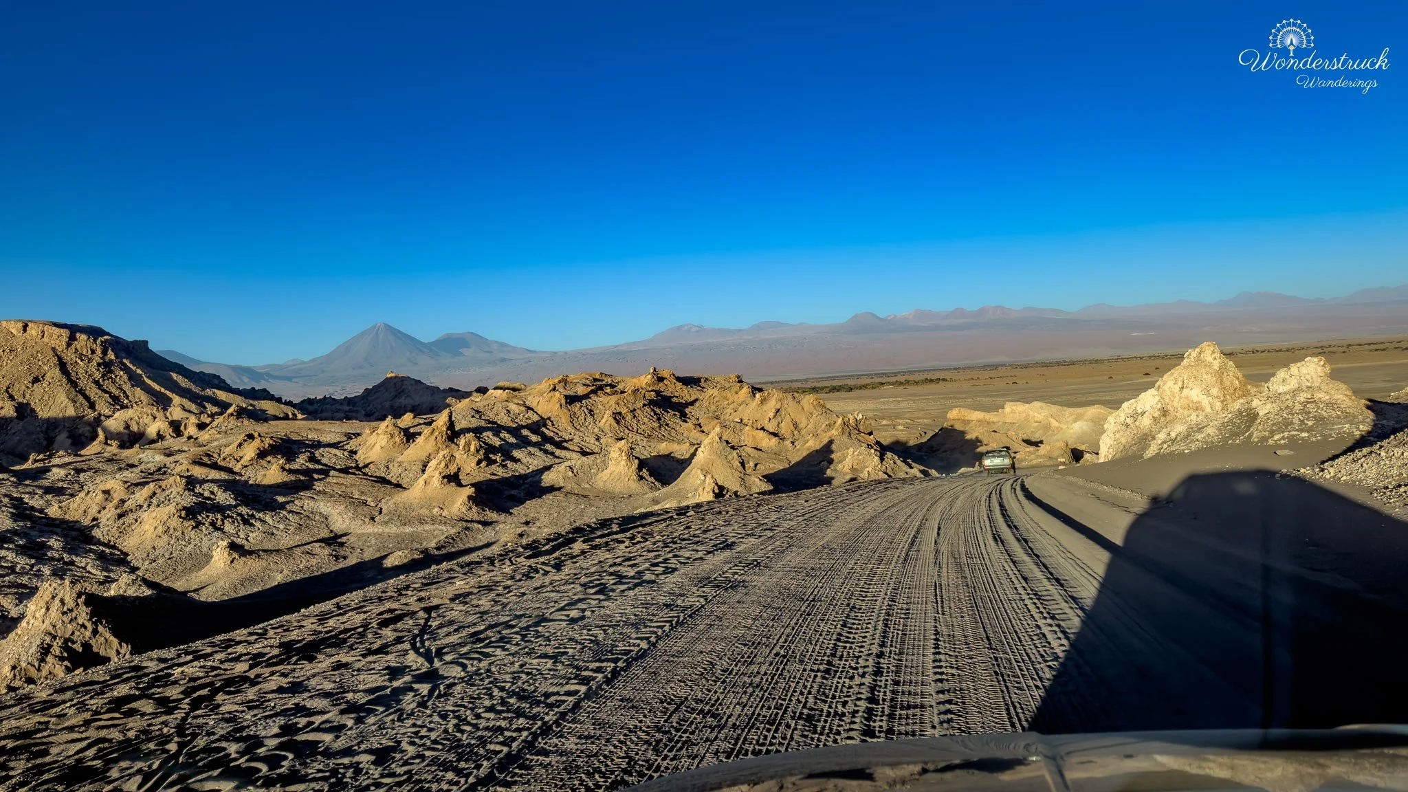
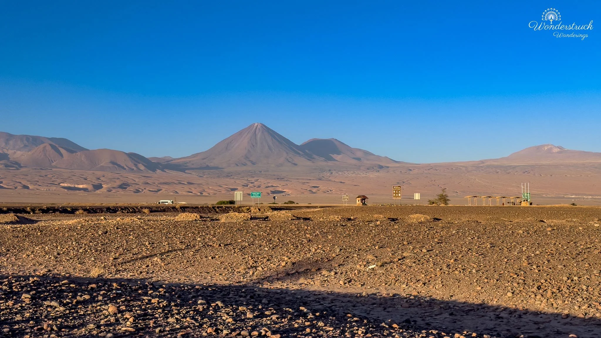
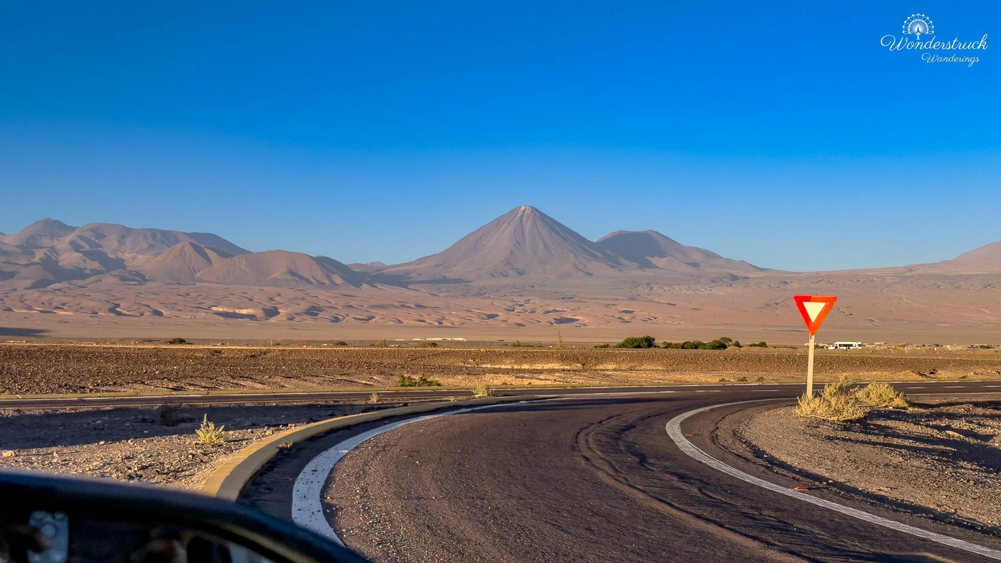
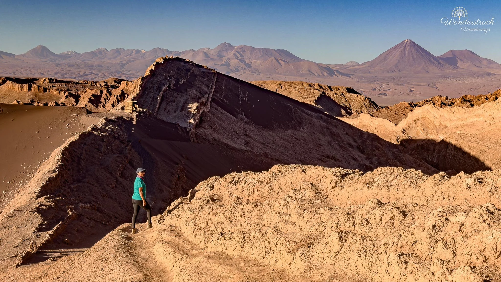
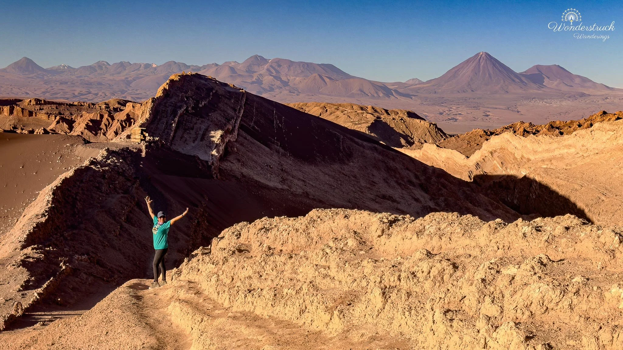
If someone has already visited Valle de la Luna and does not want to repeat it, the alternate option nearby is Valle de la Muerte, or Death Valley. It sits very close to San Pedro de Atacama and belongs to the same broad Cordillera de la Sal landscape, but it has a slightly different character. Where Valle de la Luna feels more structured, with marked sectors, named stops, and classic viewpoints, Valle de la Muerte feels rougher, emptier, and more wind-carved. The landscape is full of steep dunes, eroded ridges, exposed salt-and-clay formations, dry ravines, and jagged desert walls that catch the light beautifully in the late afternoon. Valle de la Muerte is also one of the popular places near San Pedro for sandboarding, so if that is your thing, it can be a fun alternative to another viewpoint-focused visit. The large dunes and open slopes make it more active and playful than Valle de la Luna, especially for travelers who want to do something physical rather than just drive between viewpoints. Even if you are not sandboarding, it can still be worthwhile for photography, desert walking, and sunset colors across the Cordillera de la Sal. It has that same Atacama combination of sand, salt, rock, shadow, and volcano-backed horizon, but with fewer of the classic “must-stop” landmarks.
Sunset & Moonrise Over Licancabur and Mirador Likan-Antay
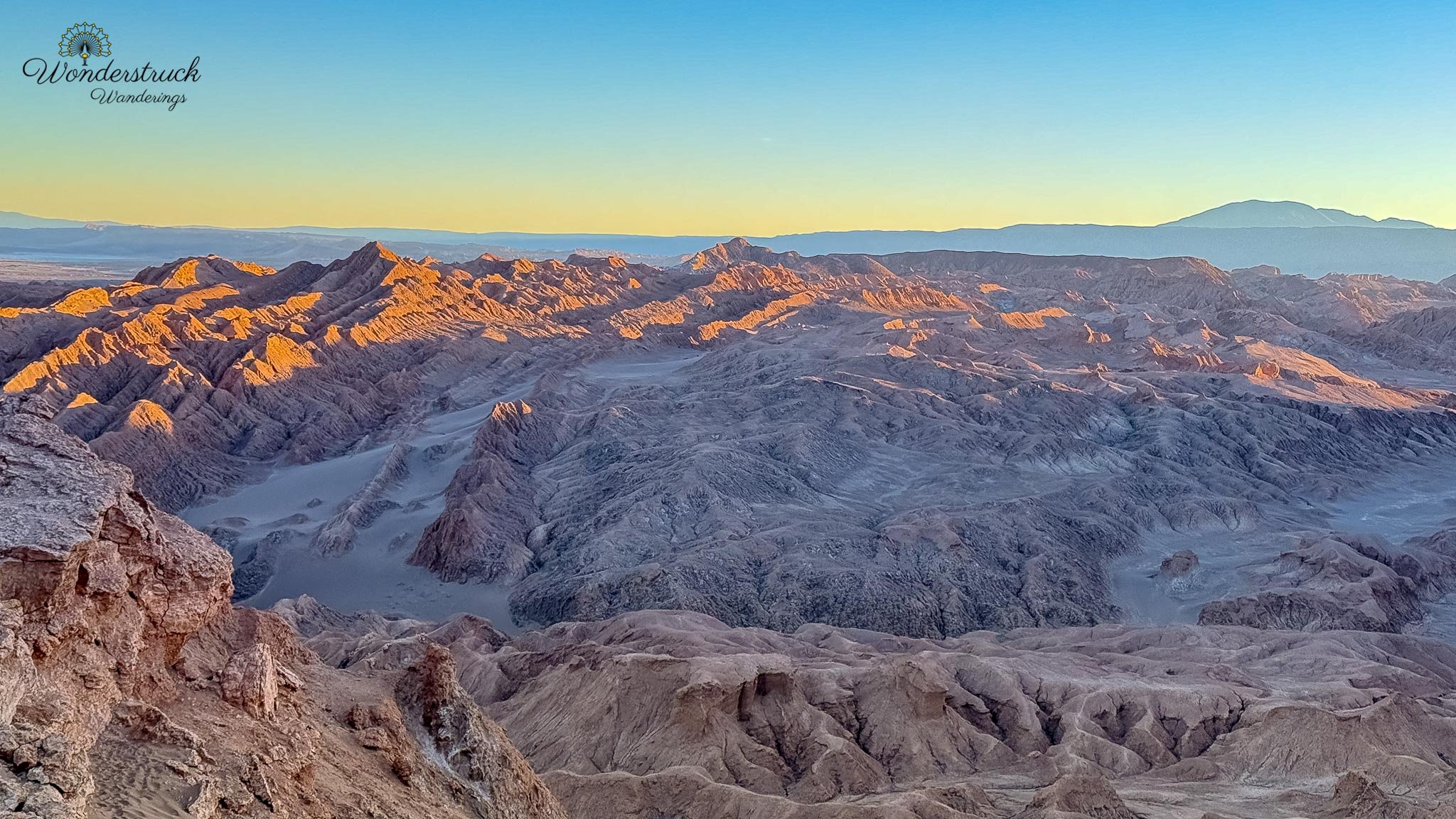
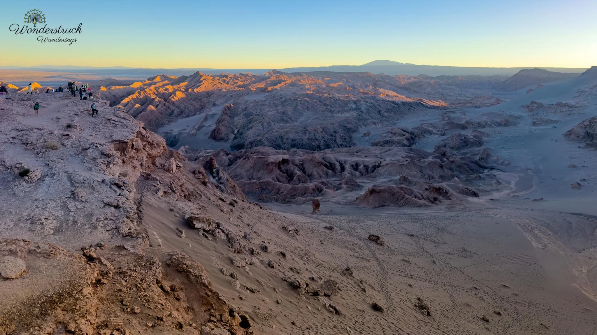
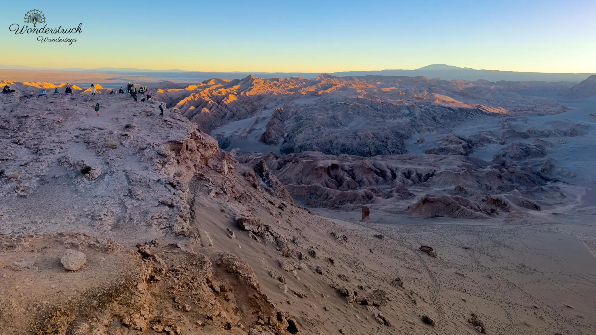
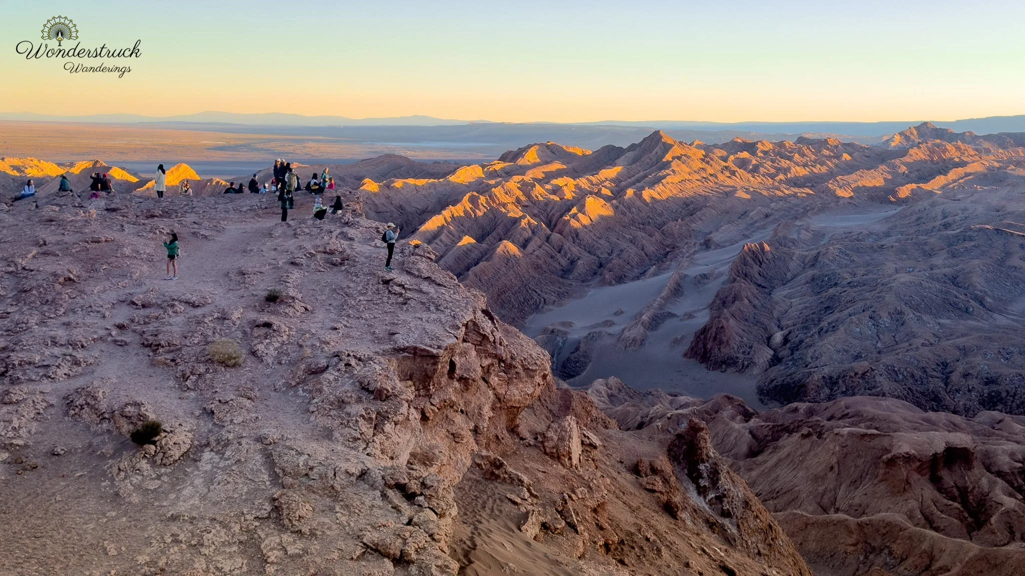
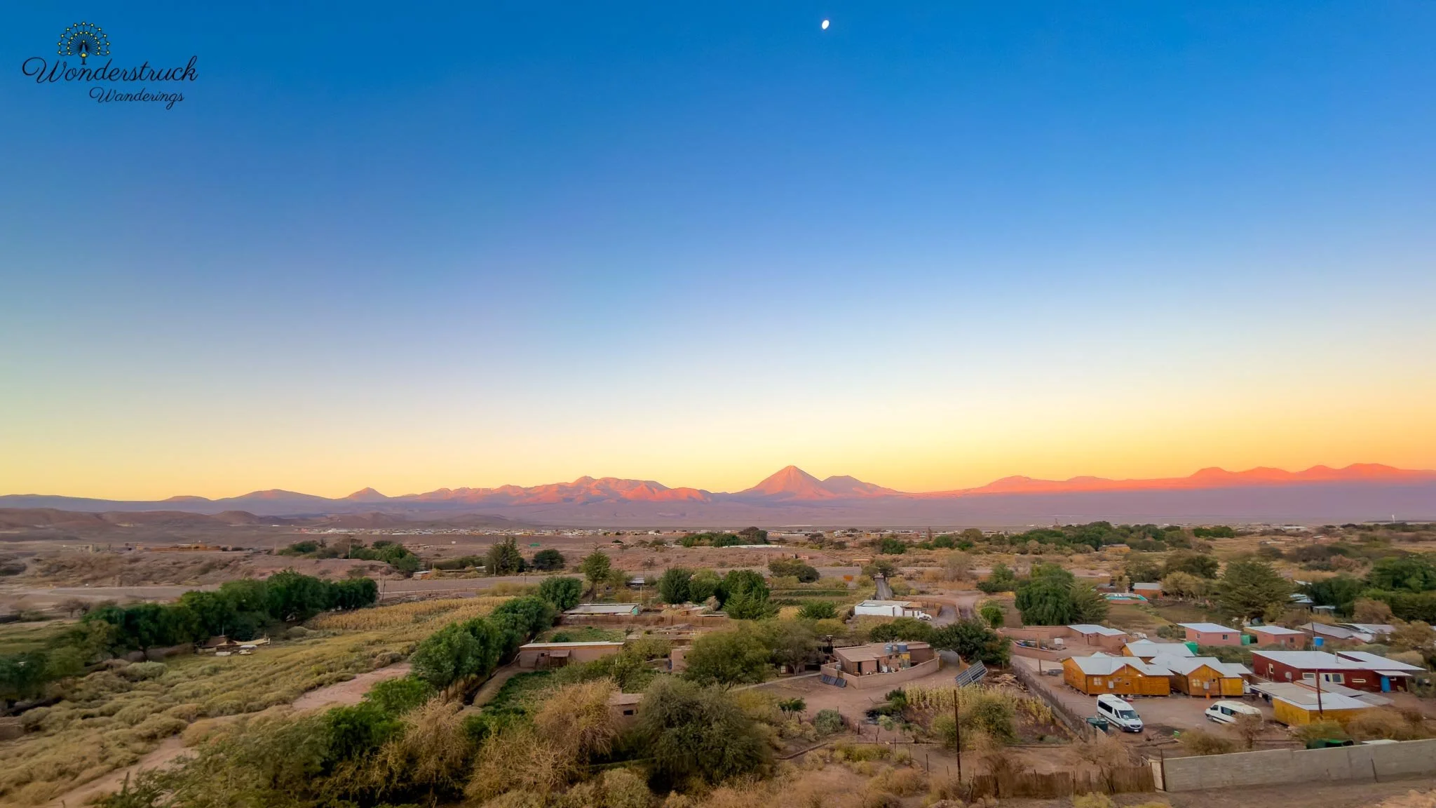
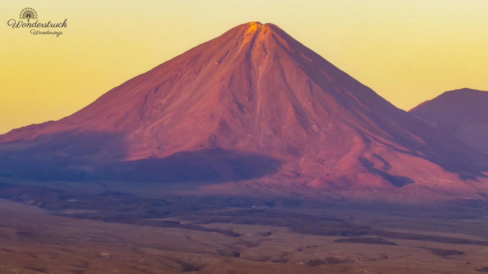
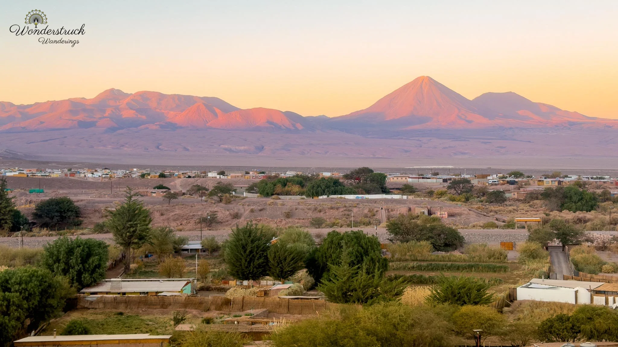
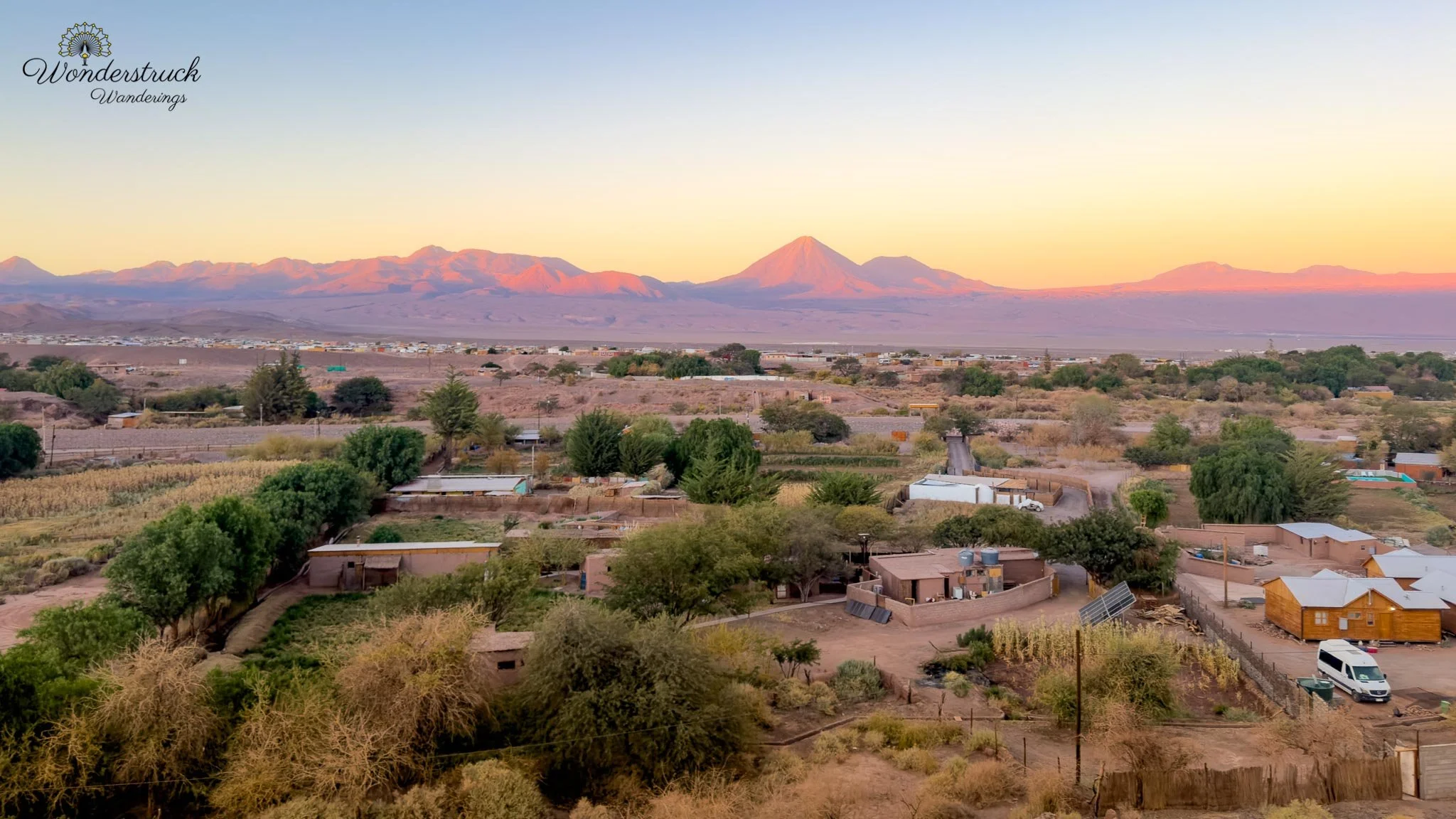
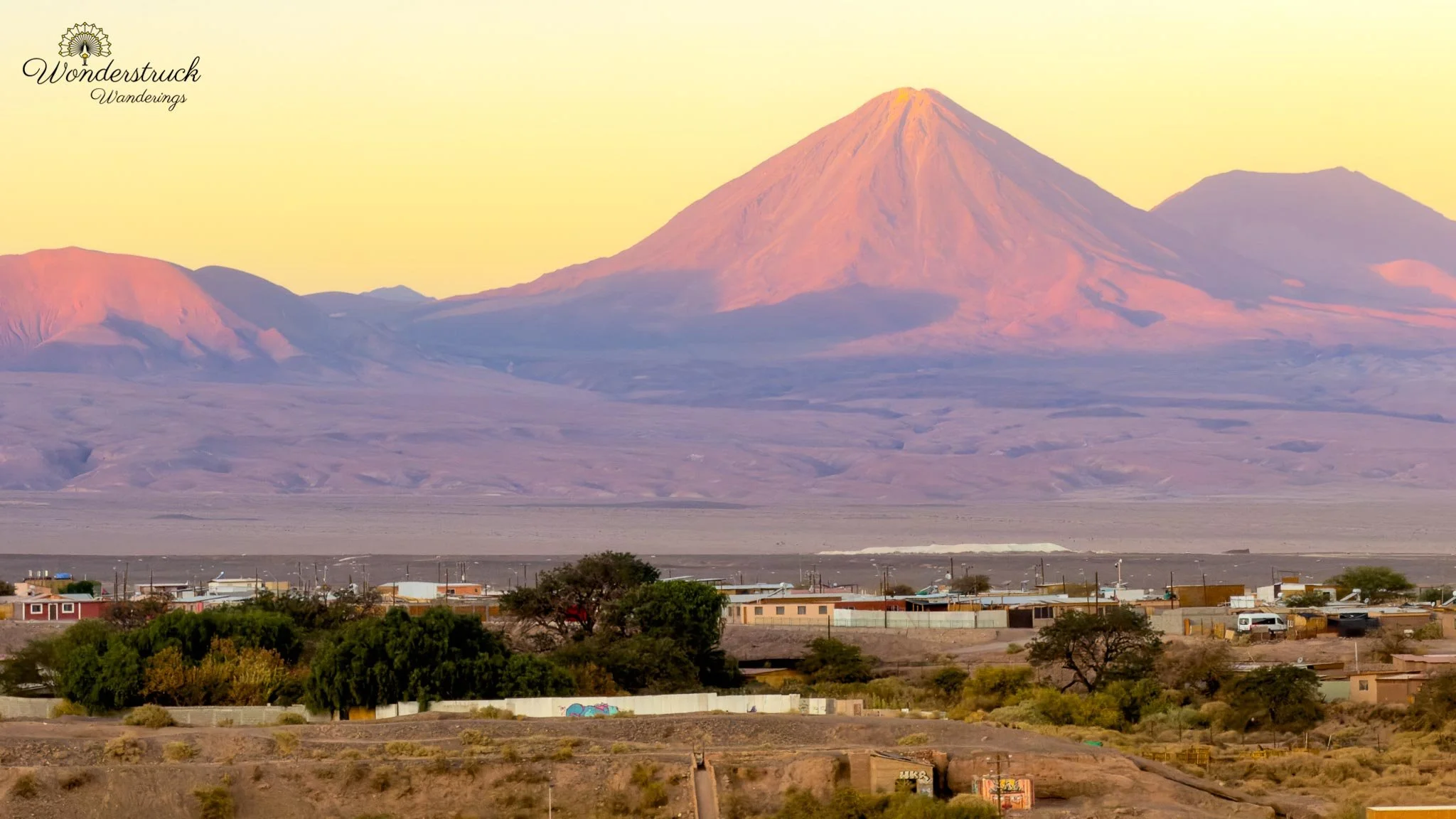
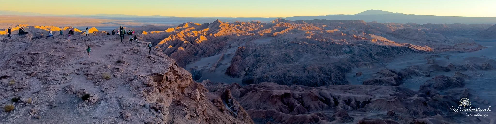
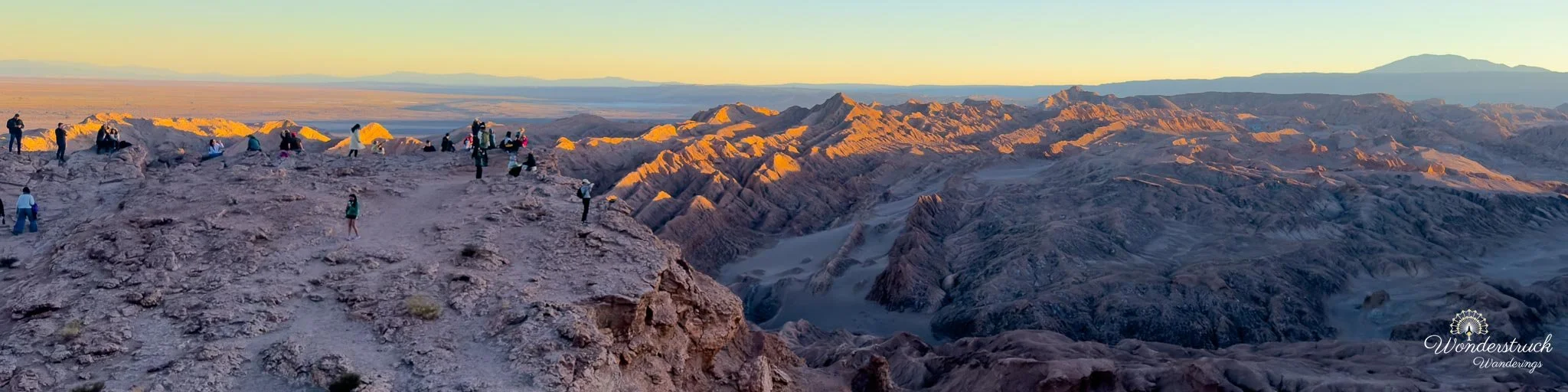
Since Ckari was closed, we drove afterward toward Mirador Likan-Antay, just outside the town on the main highway, hoping to catch the last light from there. The viewpoint sits high above the Cordillera de la Sal, looking across a maze of eroded ridges, gullies, and pale salt-and-clay formations. From above, the landscape looks even more lunar than it does from inside the valley. As the sun dropped toward the western horizon, the low light caught the tops of the ridges while the deeper folds slipped into shadow, shifting the landscape from beige and ochre toward orange, rust, and purple. We were a little late and too tired to walk all the way to the exact viewpoint we had originally planned, so we stopped along the roadside instead. It turned out not to matter much. From there we could still watch the final sunlight move across the Cordillera de la Sal, with every ridge casting a longer shadow than the one before it.
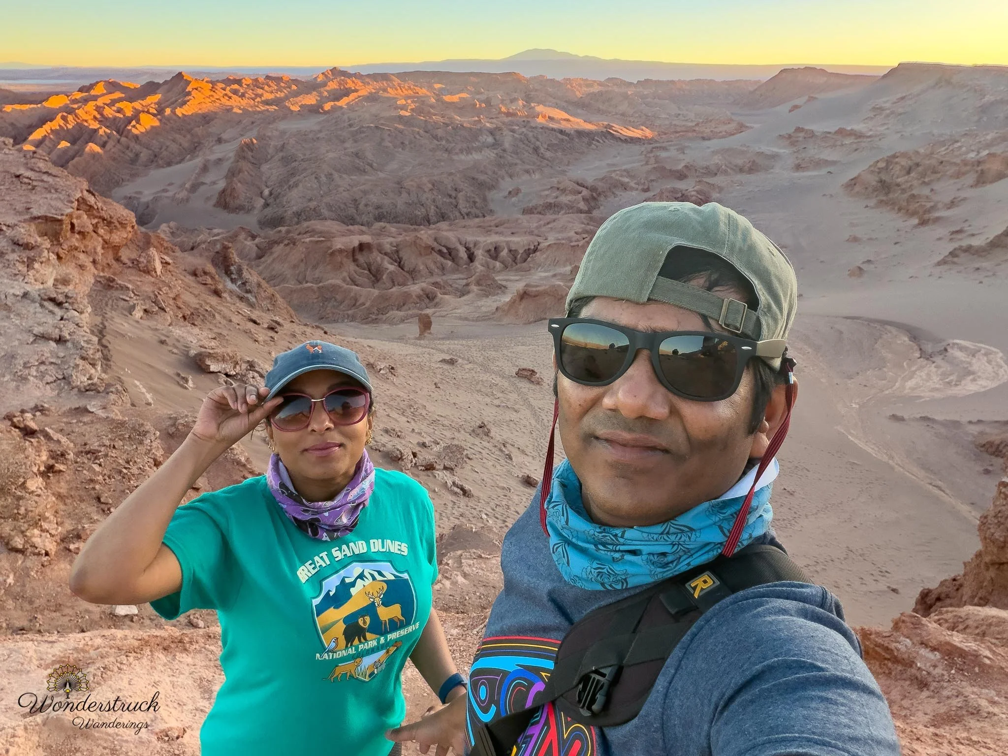
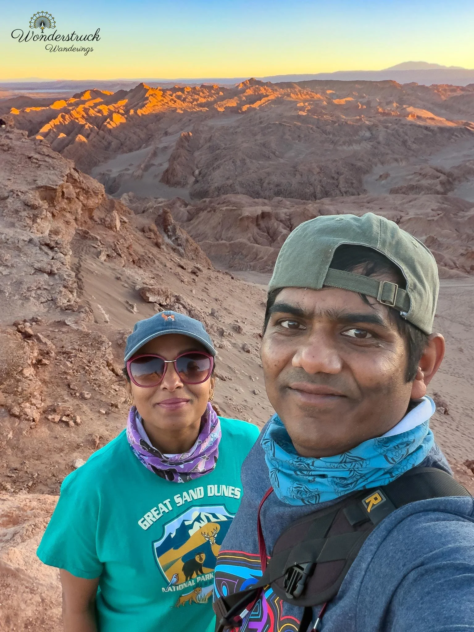
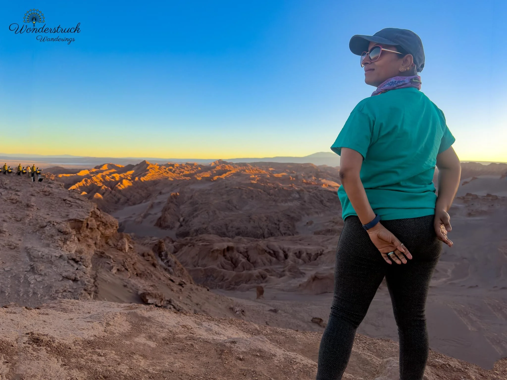
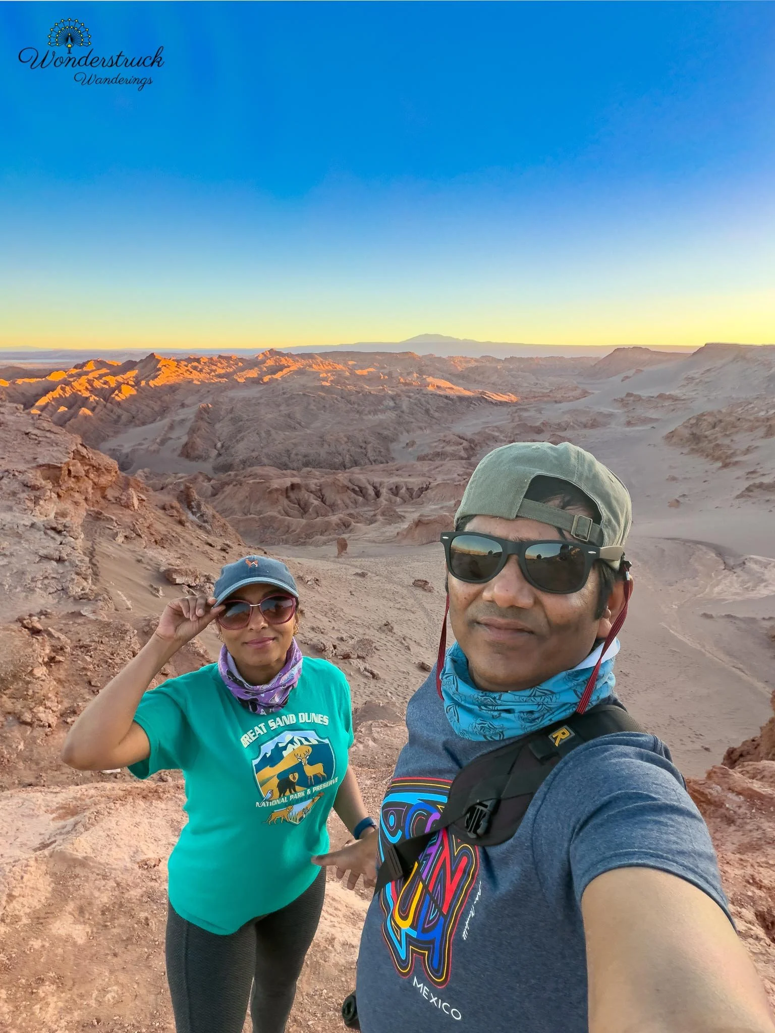
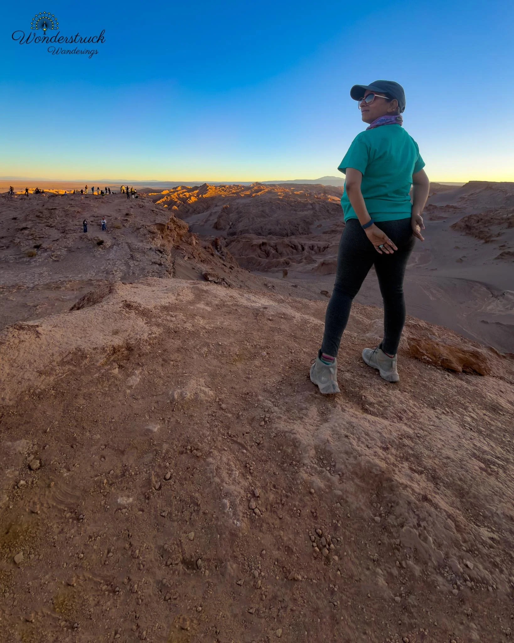
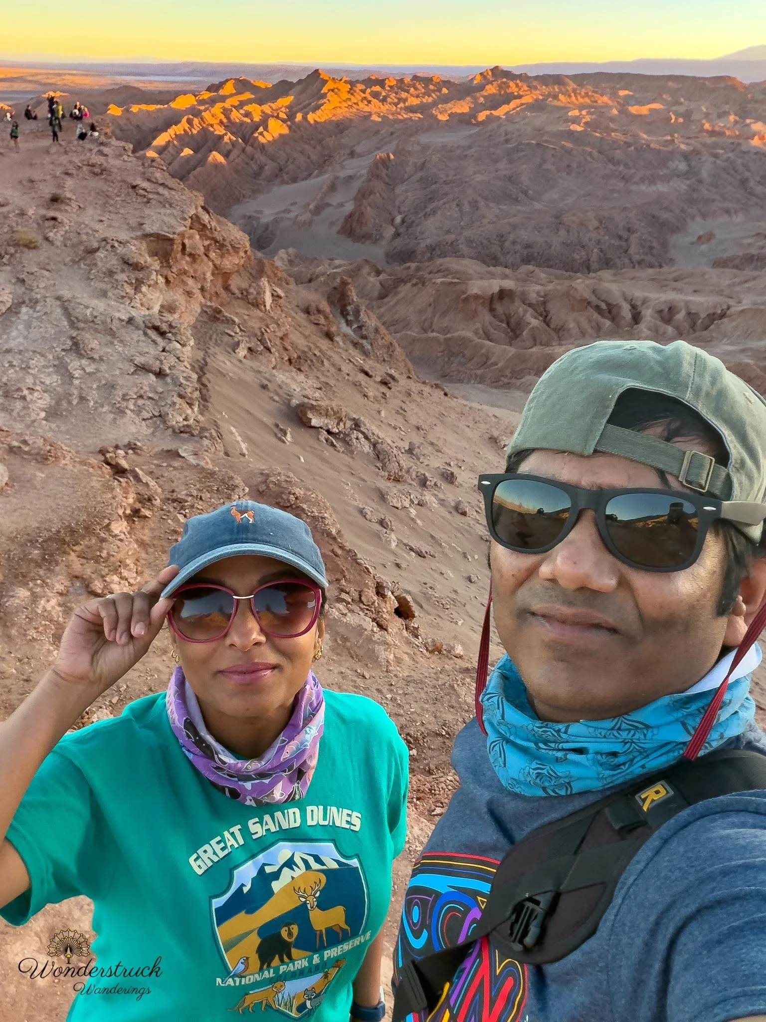
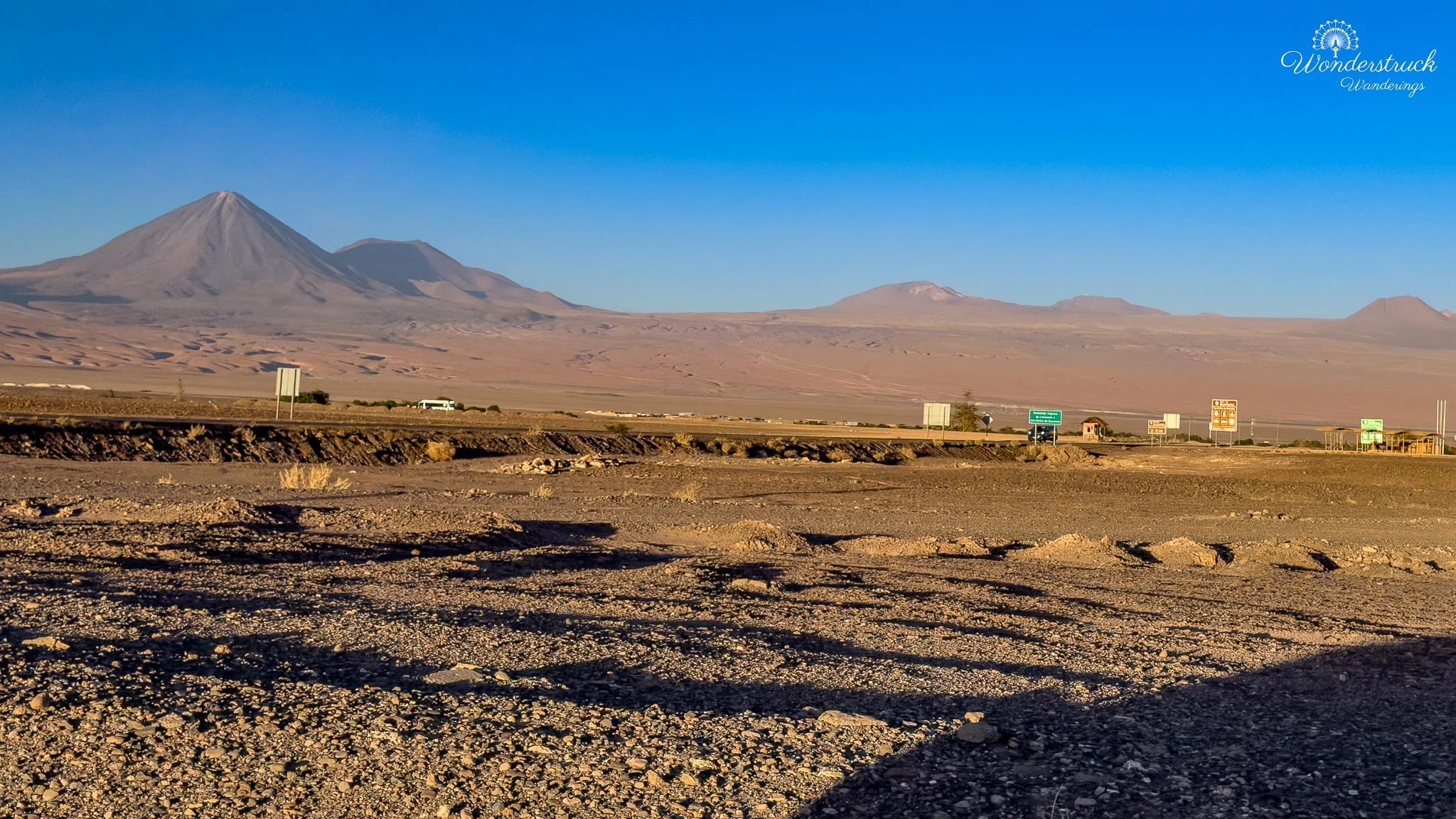
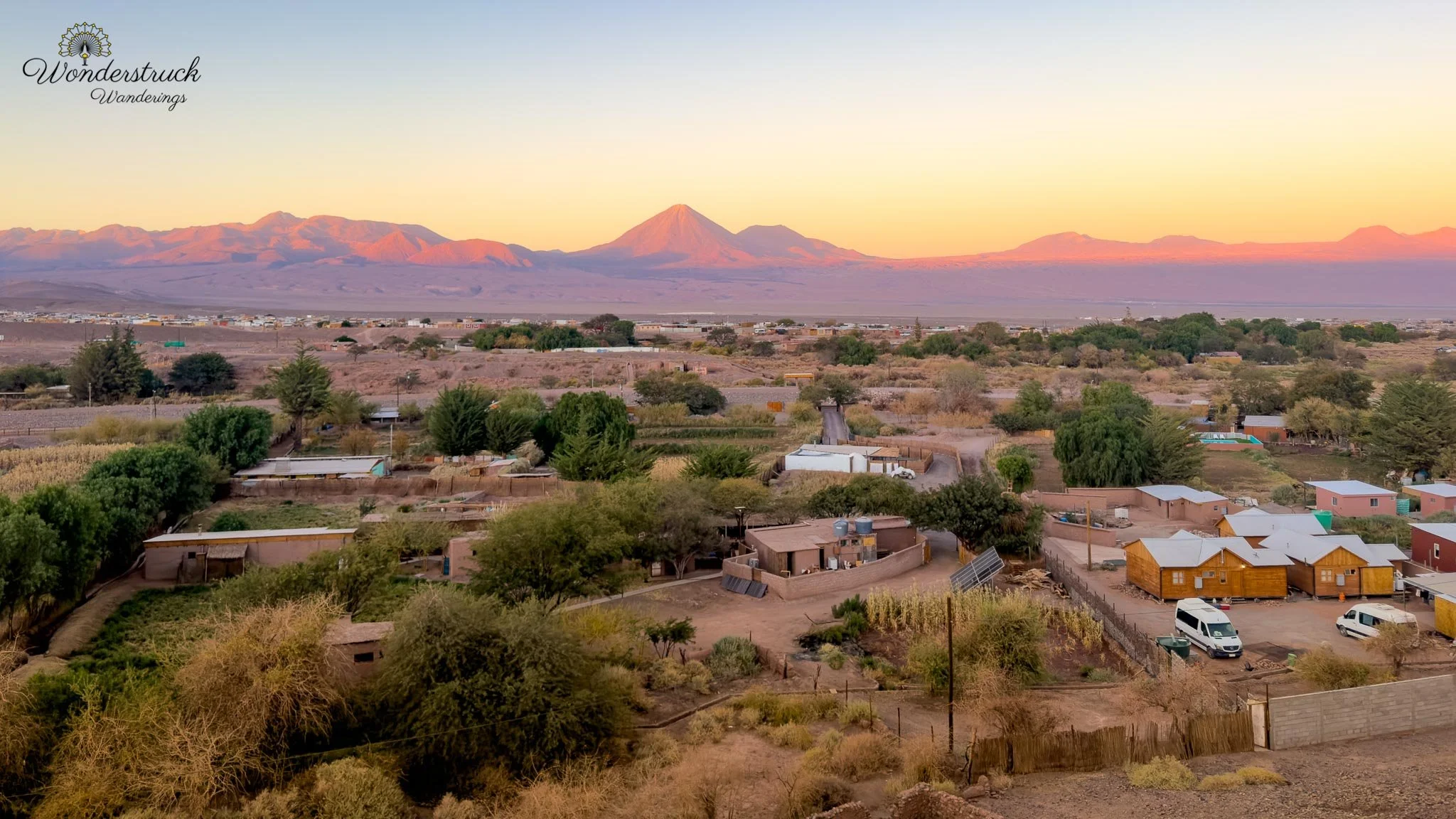
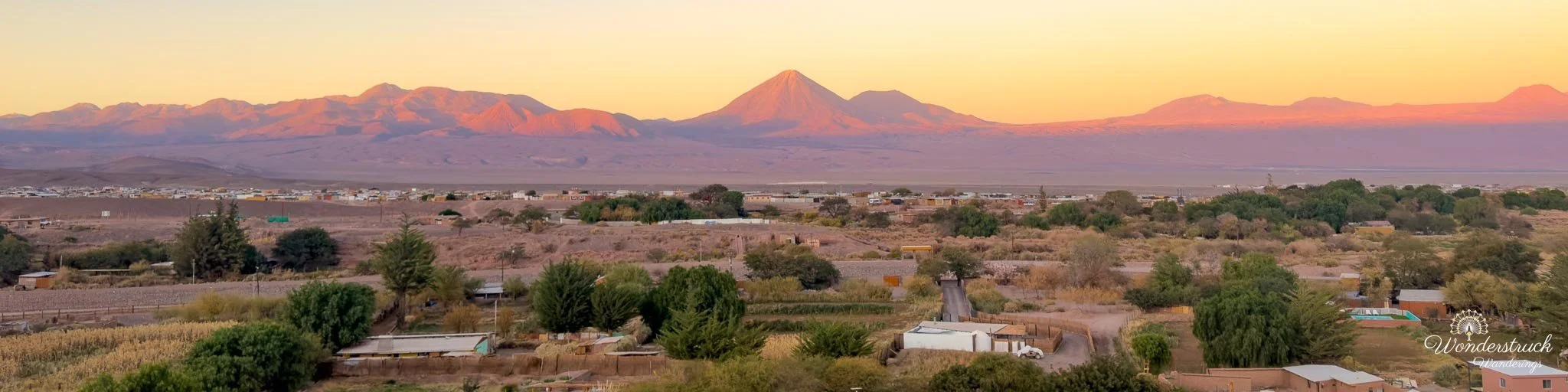
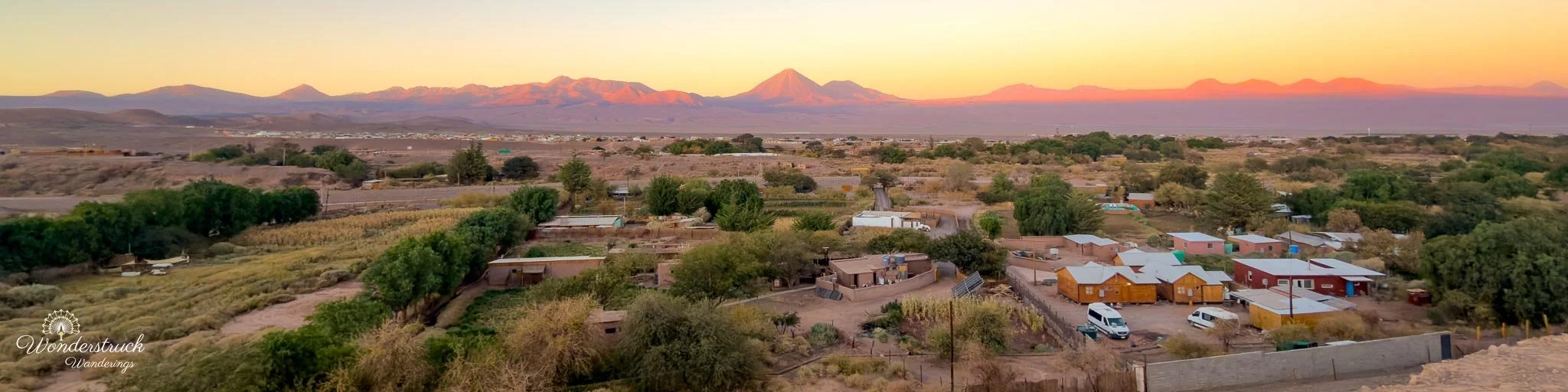
The sunset here was less about watching the sun itself disappear and more about watching the desert change shape as the light dropped. The view in the opposite direction was completely different. Turning back toward San Pedro and Licancabur, the desert opened into the broad basin below us. San Pedro appeared surprisingly small from this height, a patch of green and low buildings surrounded by an enormous expanse of brown desert. Beyond it rose the near-perfect cone of Licancabur, dominating the eastern skyline. What made the view even better was the moon rising beside Licancabur. It was close enough to full that it was already bright and clearly visible while the volcano was still catching the last warm light of sunset. For a short window, we could frame Licancabur, the rising moon, and San Pedro below in the same photograph—the town already falling into cooler evening tones while the upper slopes of the volcano still held traces of pink and red. It was one of those brief Atacama moments when sunset and moonrise seemed to overlap. That contrast made this side very different from Likan-Antay. One direction gave us the glowing folds and shadows of the Cordillera de la Sal; the other gave us the classic Atacama composition of San Pedro below, Licancabur on the horizon, and the moon rising alongside it. As the sunlight disappeared, the desert quickly shifted toward blue and violet while the moon became more prominent in the darkening sky. It was not the carefully planned sunset we had expected when we left Valle de la Luna, but the roadside stop gave us two completely different views within a few minutes. In the Atacama, even missing the planned viewpoint rarely means missing the light.
Dinner at Ckunna and Planning Laguna Chaxa
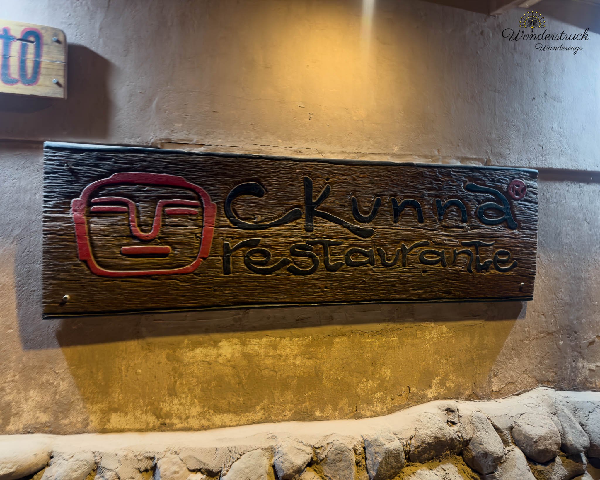
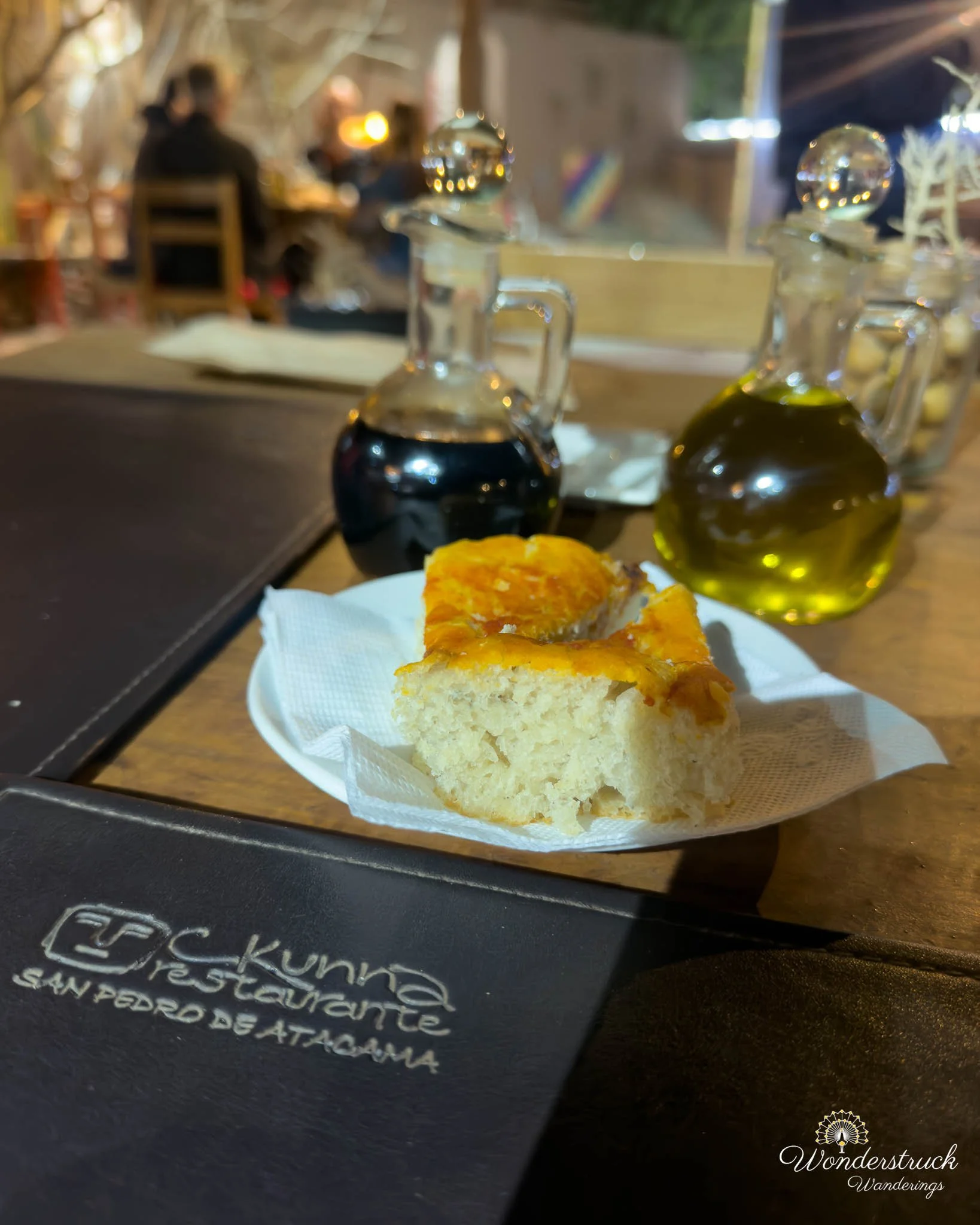
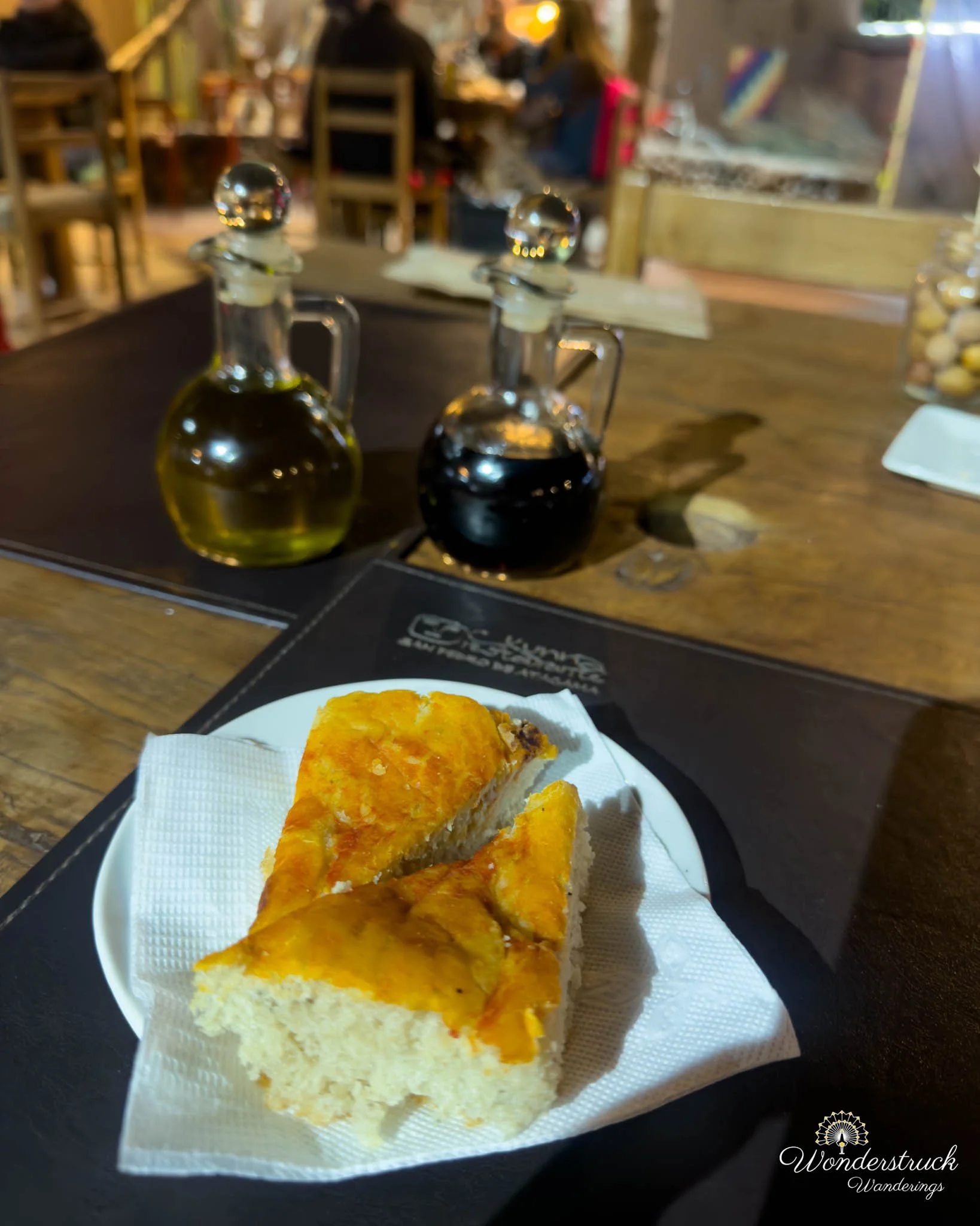
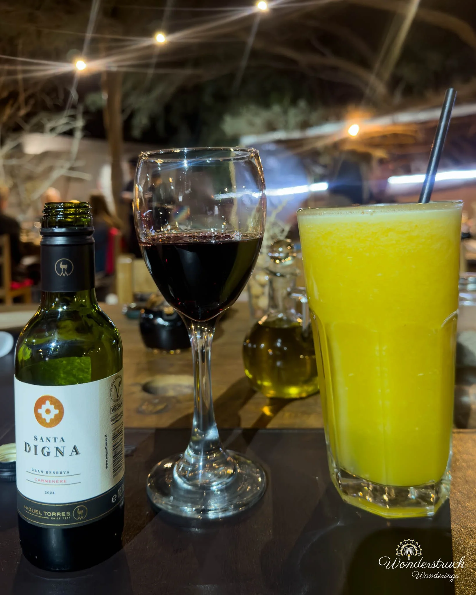
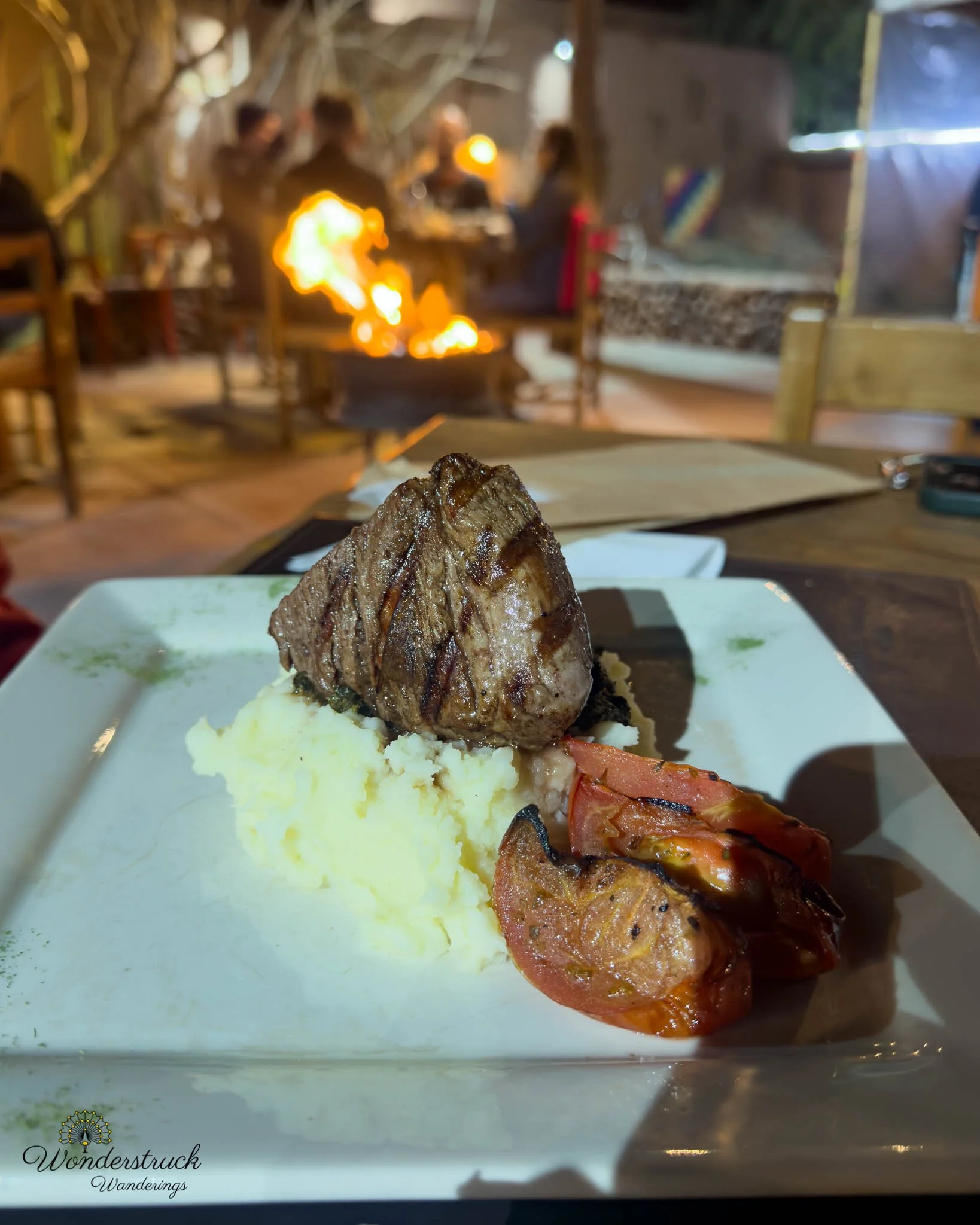
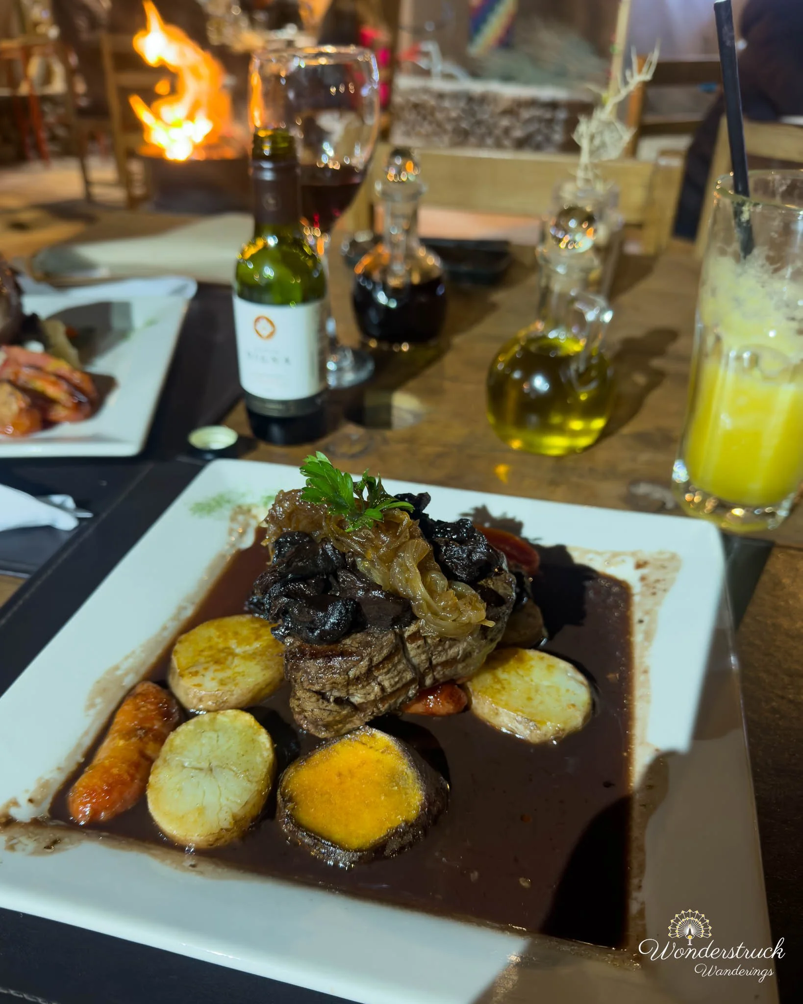
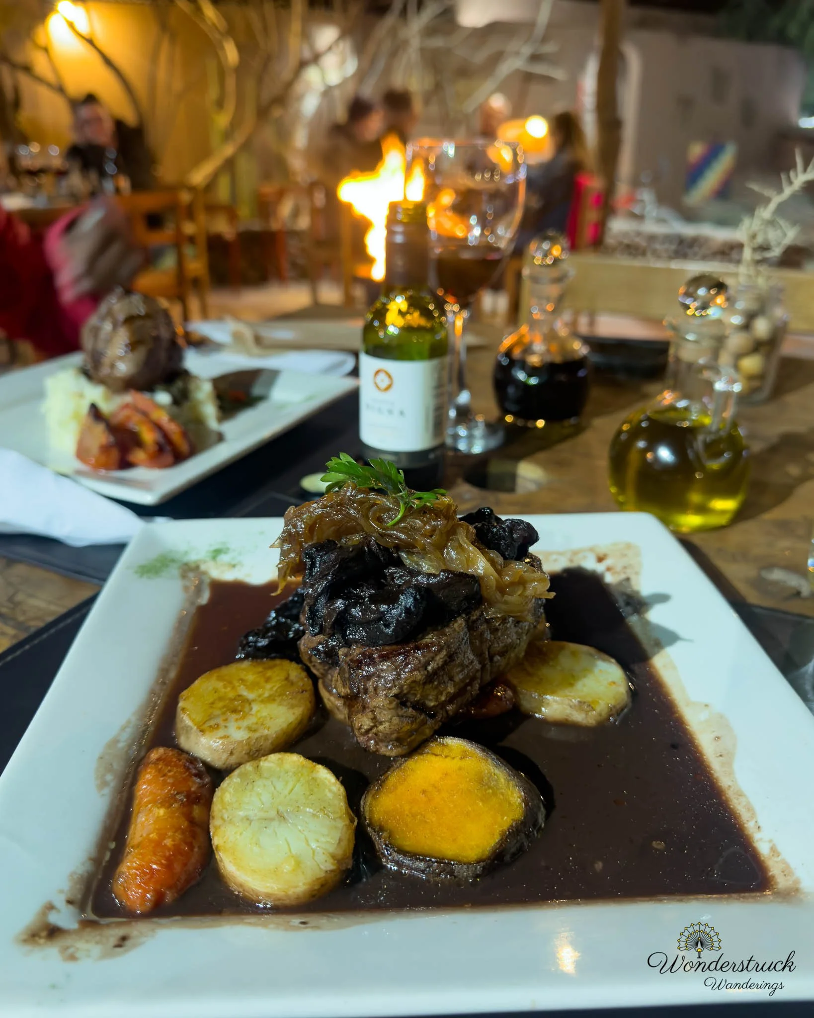
Back at the hotel, we freshened up and walked into town for dinner. We chose Ckunna because we wanted to try something different. We arrived early enough to get a table easily, but within minutes the restaurant filled up and there was a wait of around thirty minutes. That seems to be the pattern in San Pedro: eat early or be prepared to wait. Shay ordered grilled lamb, and I chose beef cooked in chanar and mushroom sauce. Chanar is a desert fruit traditionally used in northern Chile and other arid regions for syrups, sweets, and sauces. In the dish, it added a nutty sweetness that worked surprisingly well with the beef and mushrooms. It was not sugary in a dessert sense; it was deeper and more earthy, giving the meat a slightly sweet-savory Atacama character. Shay also tried a Santa Digma Carmenere, which was okay, while I had a mango, orange, and ginger juice. After dinner, we walked back to the hotel and started figuring out the next morning's plan for Laguna Chaxa. This turned into a small but important logistics issue. If you simply type Laguna Chaxa into Google Maps, it can route you through private mining roads, show closures, and make the drive look much longer than it really is. The correct destination is closer to Laguna Chaxa Park or the visitor center, which is about 50 minutes from San Pedro rather than 2.5 hours. The hotel staff were not especially helpful with the route, and it felt like they were more oriented toward steering guests into guided experiences than helping with self-drive logistics. Eventually, once we looked carefully at the map, the route became clear. That discovery gave us almost an extra hour of sleep, which mattered because we wanted to arrive before sunrise or as soon as the site opened.