A Rare Slow Morning at Our Habitas
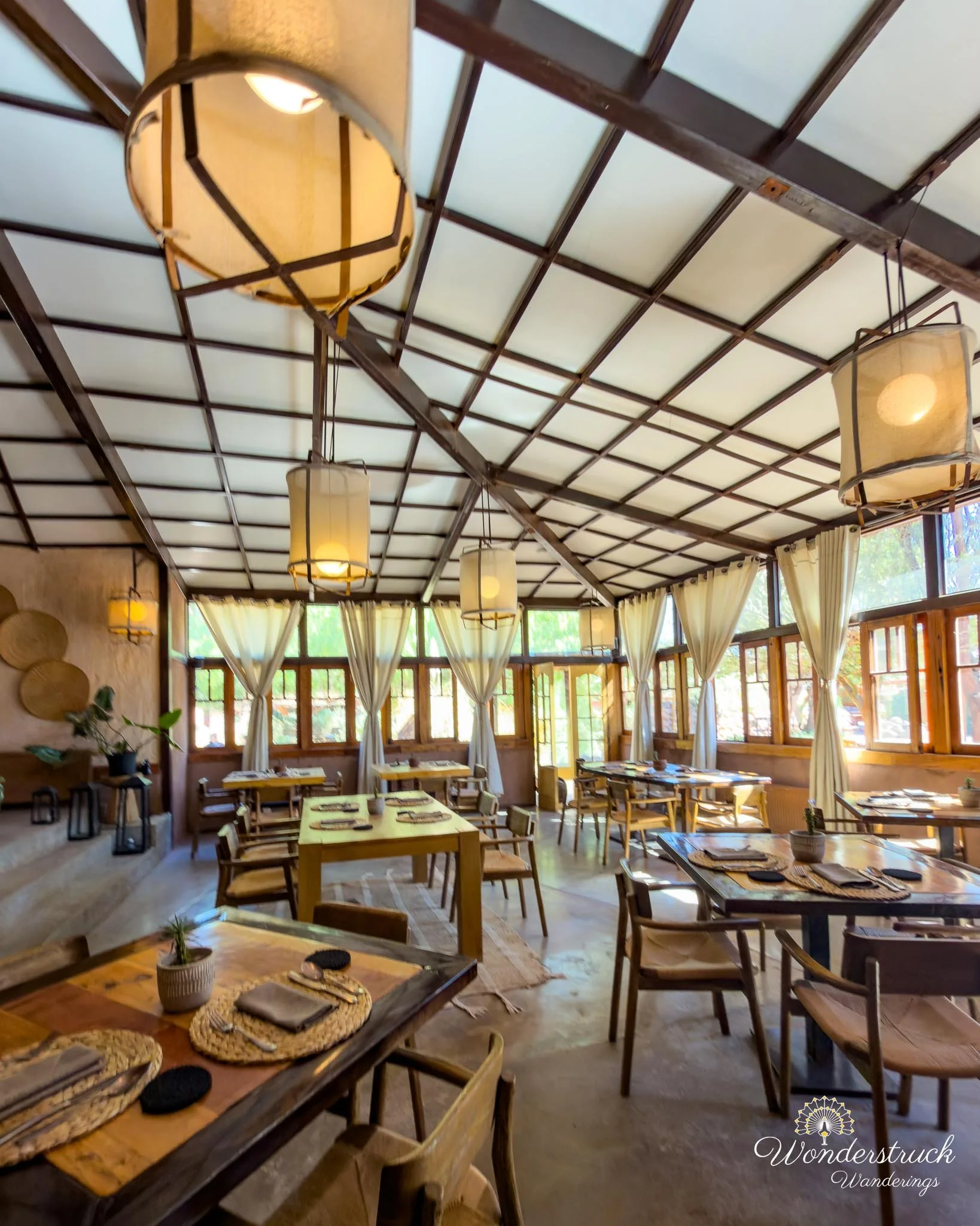
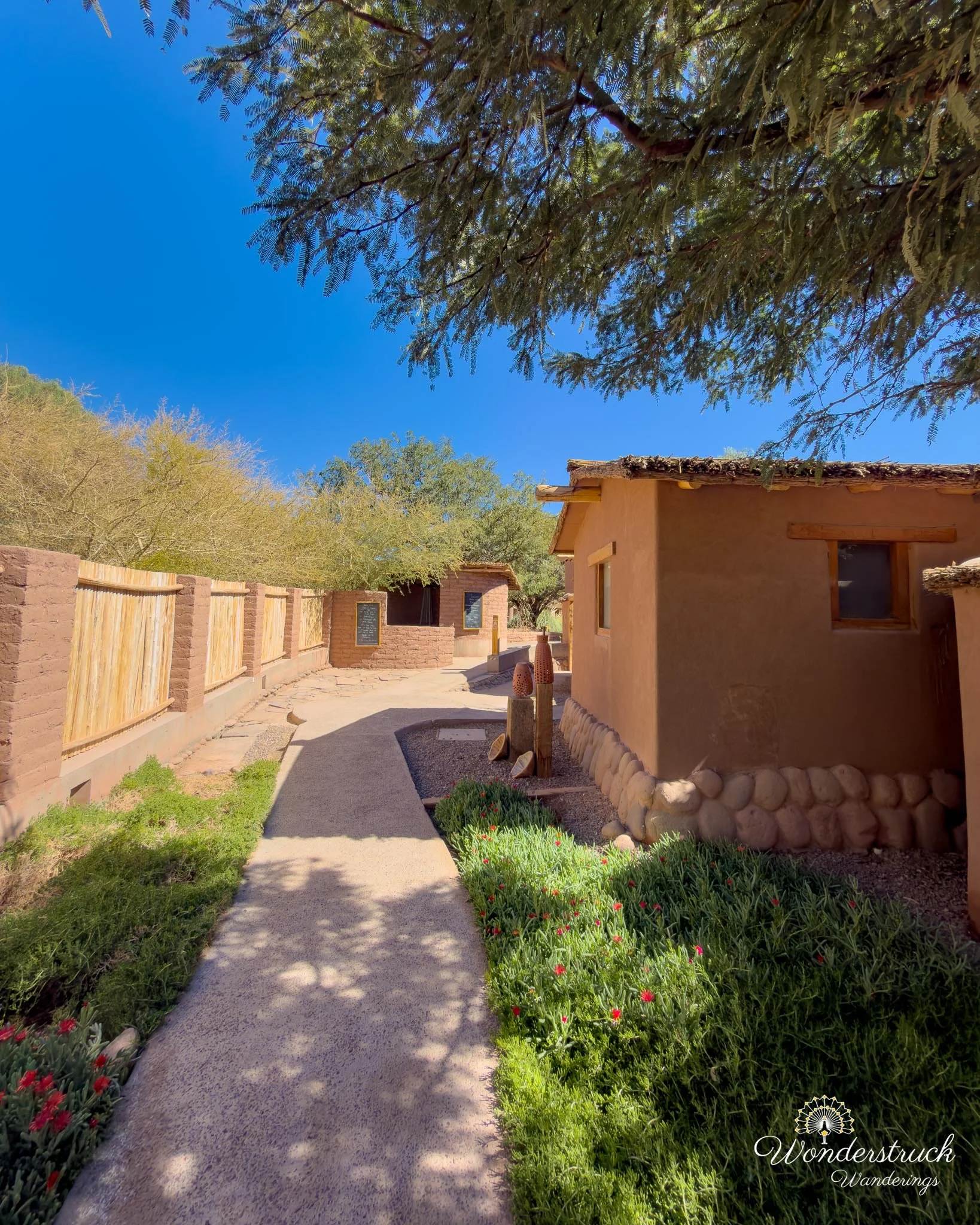
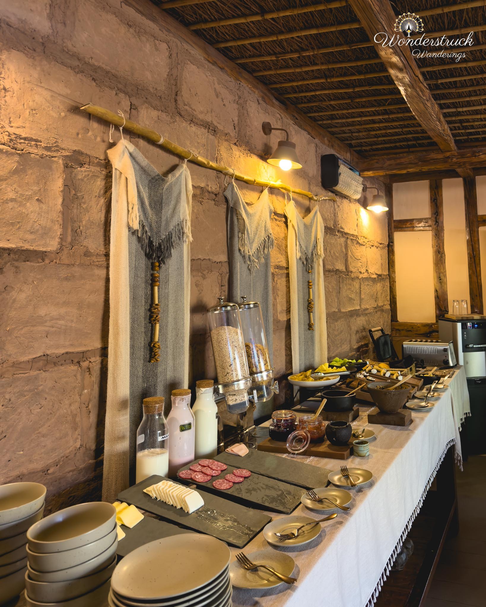
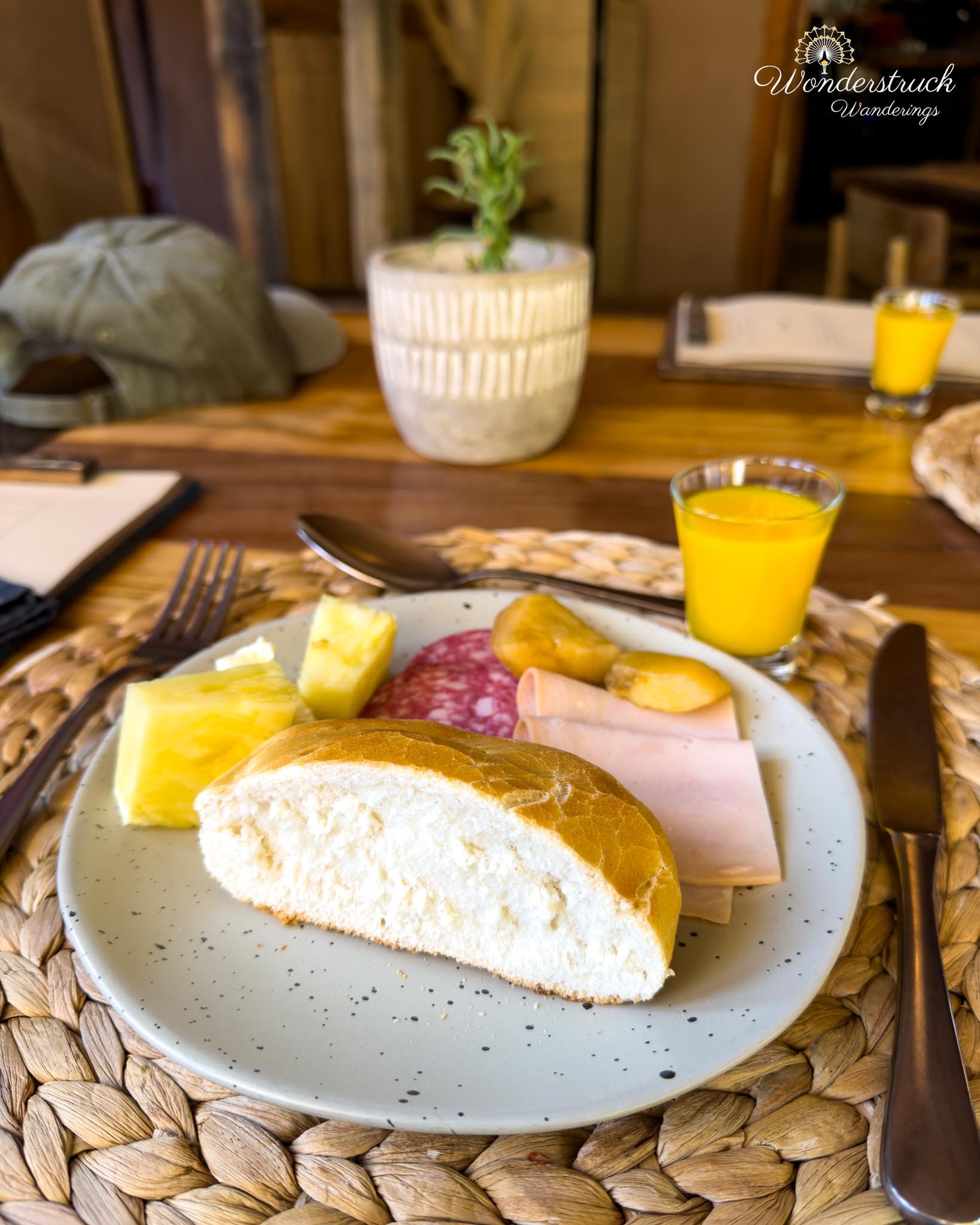
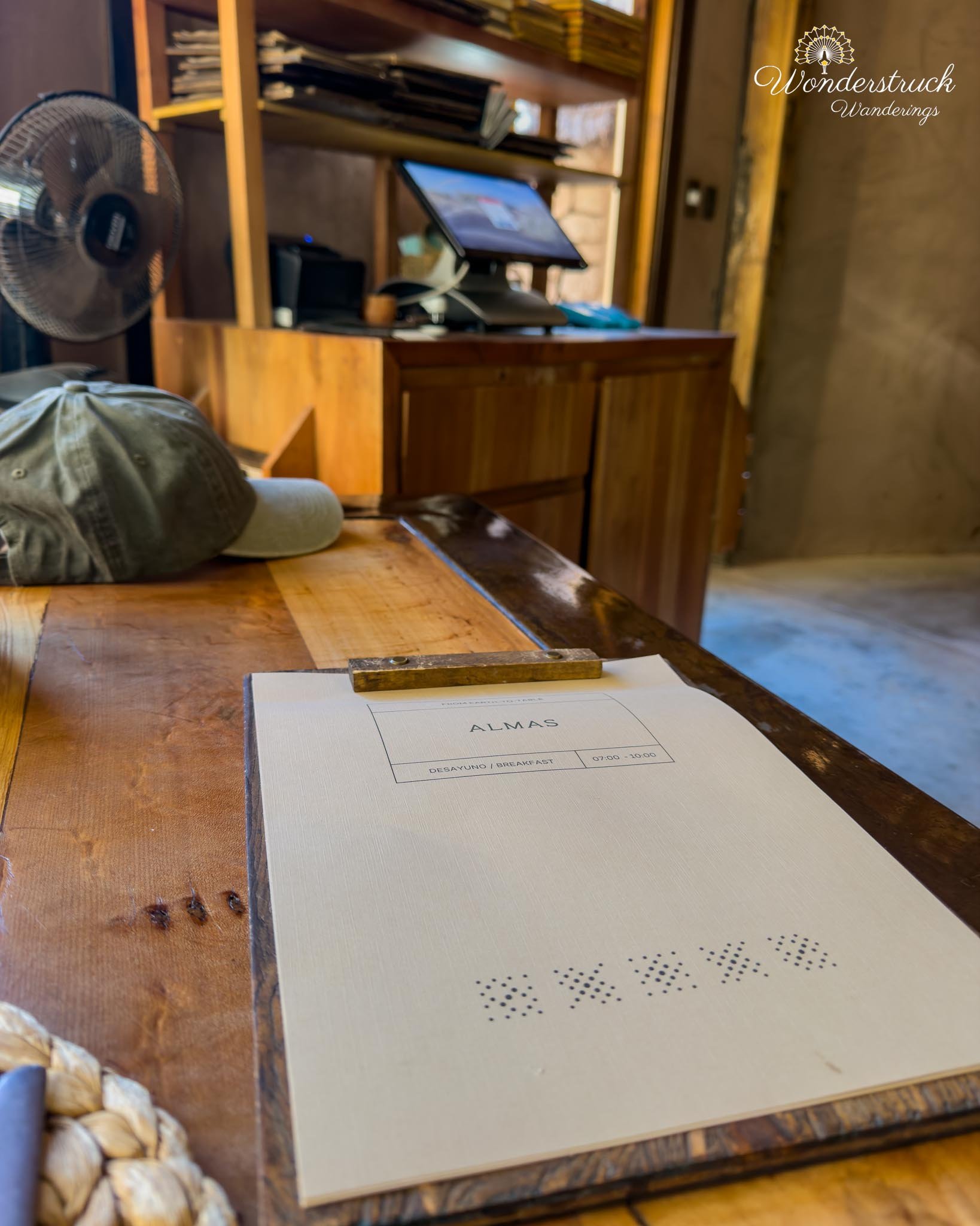
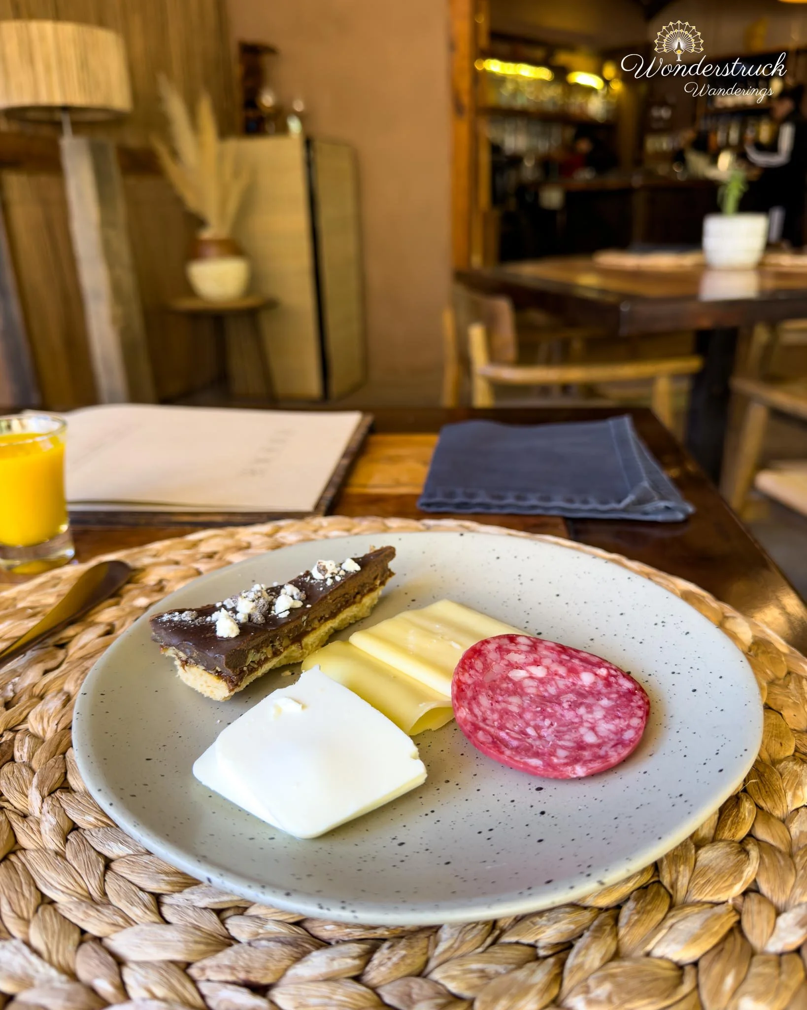
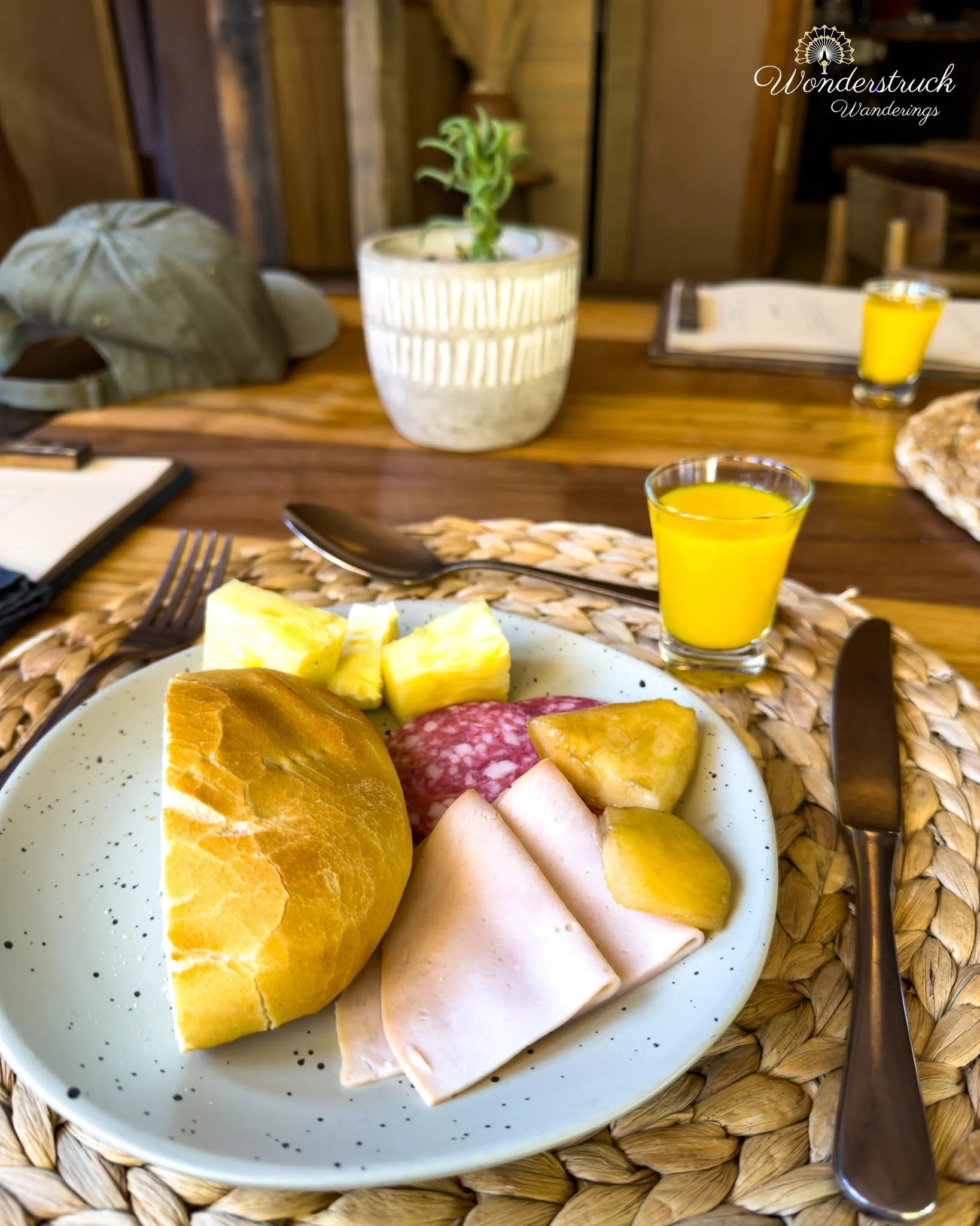
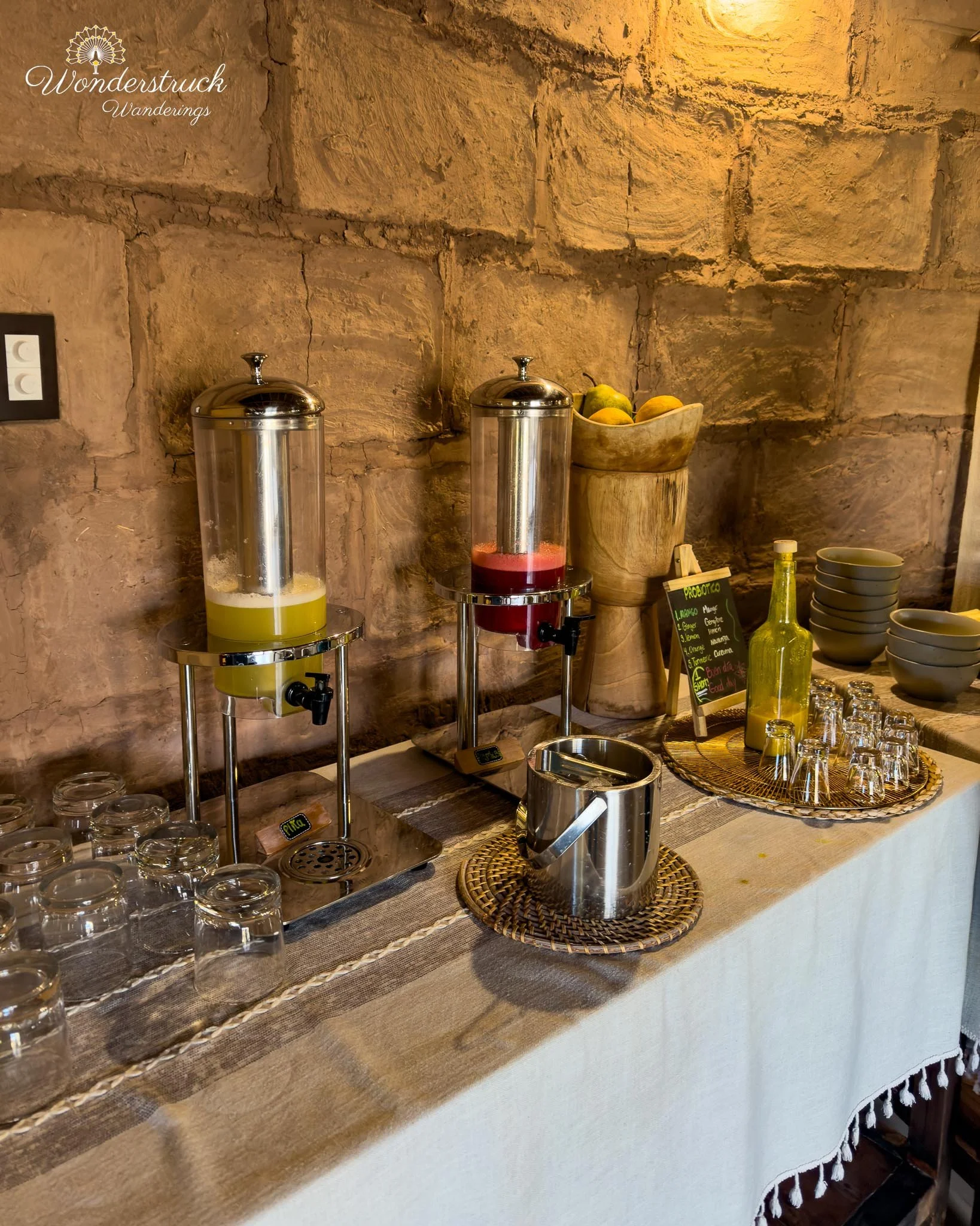
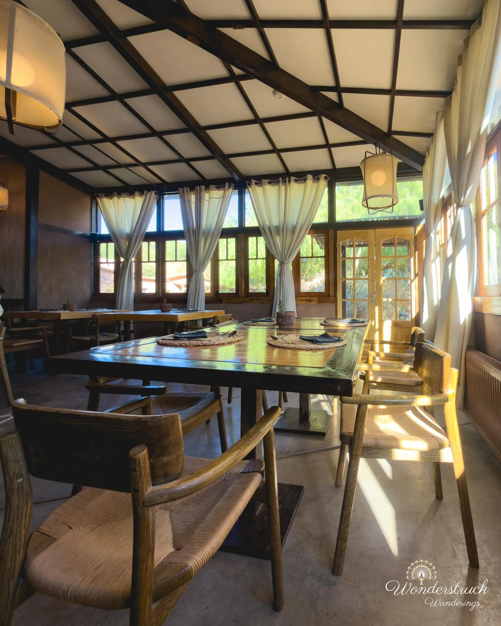
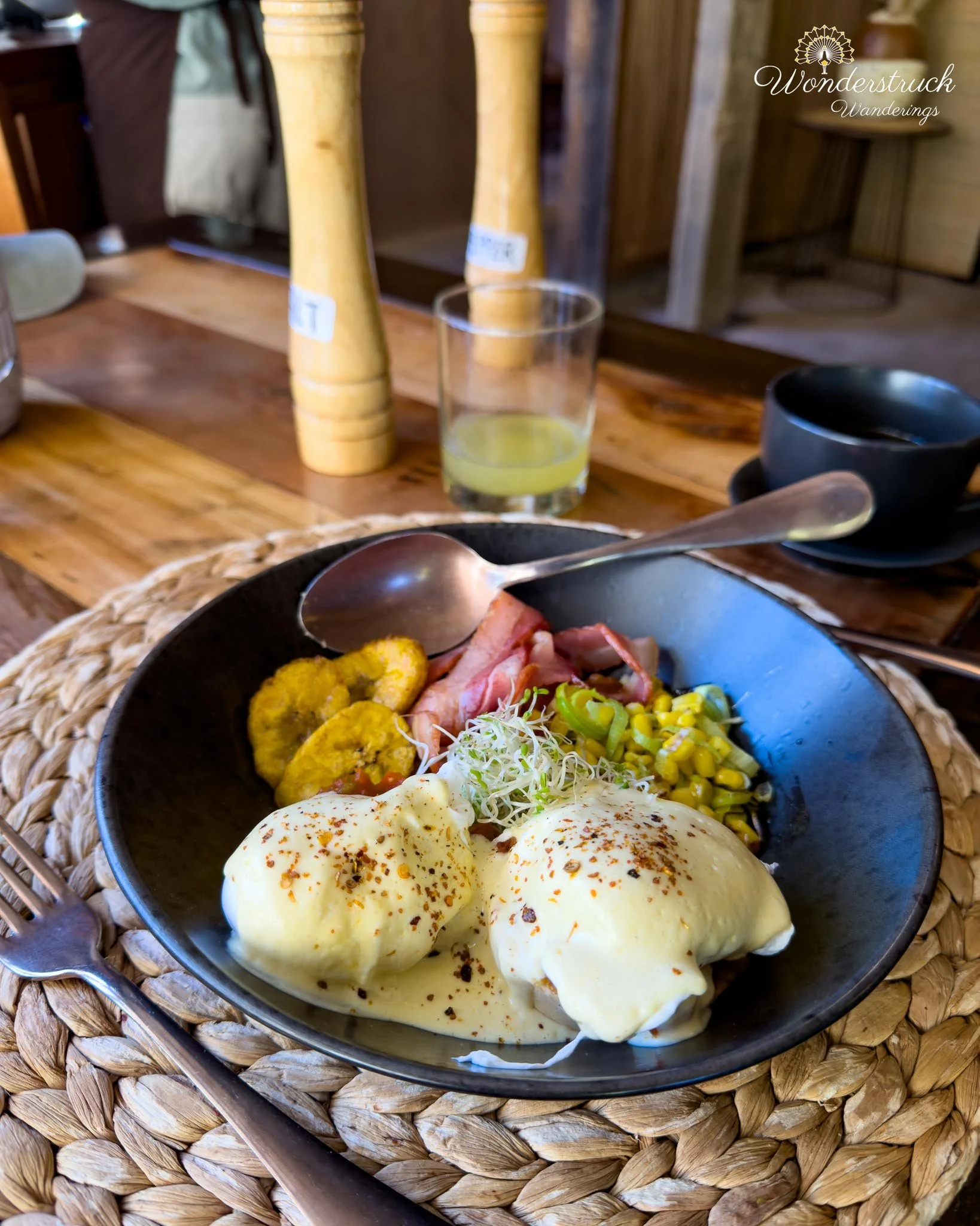
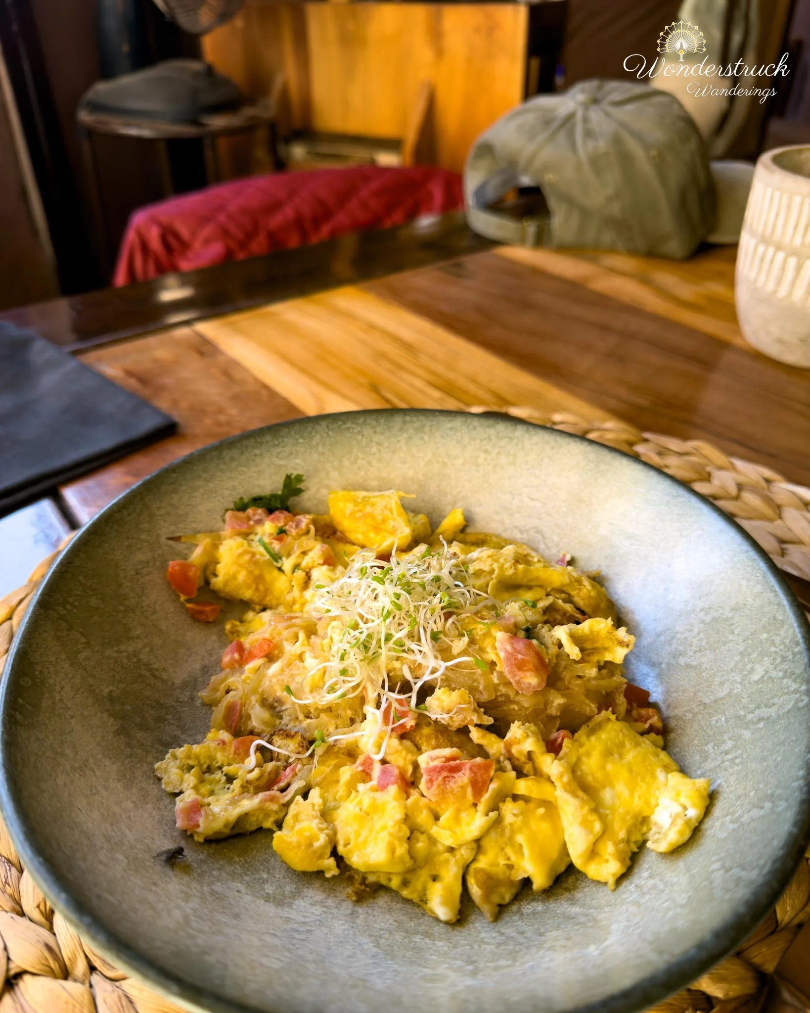
We did not set a sunrise plan for Day 3, and that was probably the wisest decision we made. After the long journey from Chicago, a packed first day in Santiago, the flight to Calama, the detours to Chiu Chiu and Pukara de Lasana, and our first afternoon in Valle de la Luna, our bodies finally demanded a slower morning. The original ambitious version of us might have tried to wake up early and go to the Cordillera de la Sal viewpoint near Linkanatay for sunrise, but the realistic version of us slept in. We needed it. This is always the tension in places like the Atacama. The light is best early and late, and the landscapes almost beg you to be out before sunrise. But travel days accumulate. Altitude accumulates. Dry air accumulates. At some point, rest becomes part of the itinerary, not a failure of it. So instead of forcing another pre-dawn start, we let the morning begin gently at Our Habitas Atacama. After getting ready, we went for the included breakfast at the hotel, which was something we rarely get to enjoy properly because we usually leave so early on trips. The buffet had the standard but satisfying spread we now associate with Chilean hotel breakfasts: sliced meats, cheeses, different breads, juices, and fresh coffee. We could also order one specialty item. Shay went with huevos milpas, a hearty egg dish with a Chilean breakfast feel, while I ordered huevos revueltos with onion and tomato. I was also very happy to find lactose-free milk easily available, something that makes travel mornings much smoother than expected.
Laguna Cejar: Salt lagoon, Flamingos, and Freezing Water
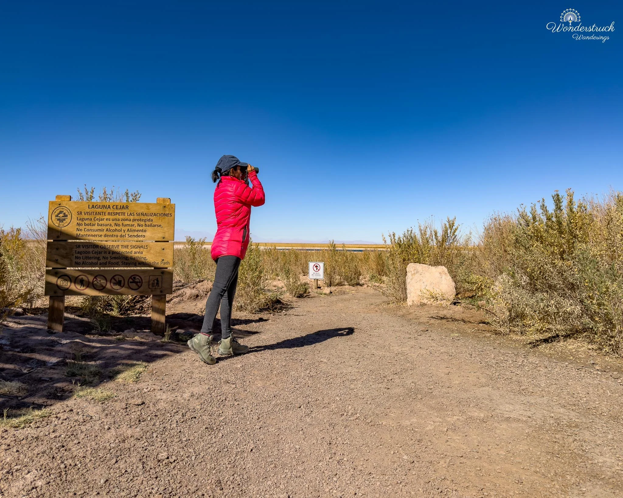
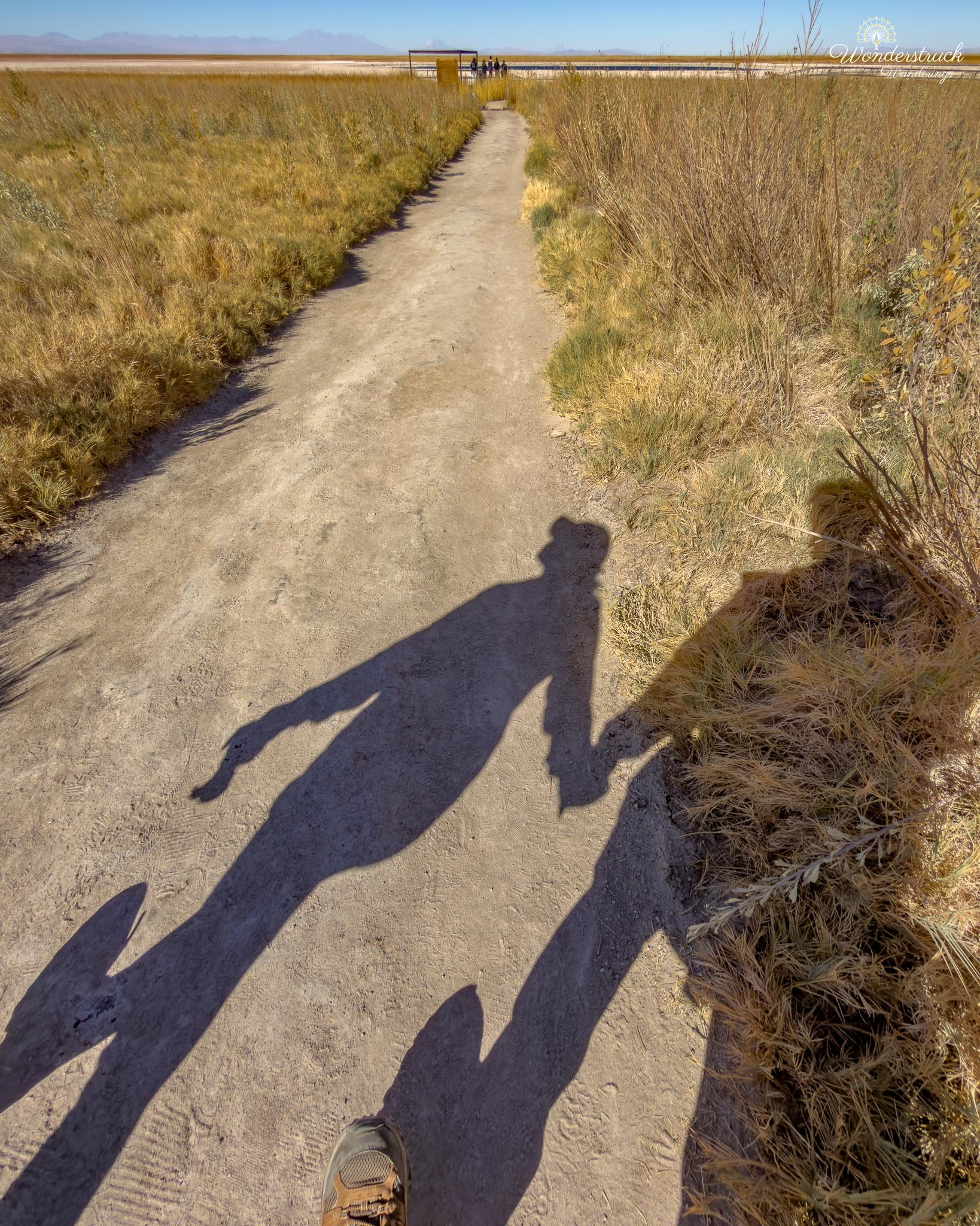
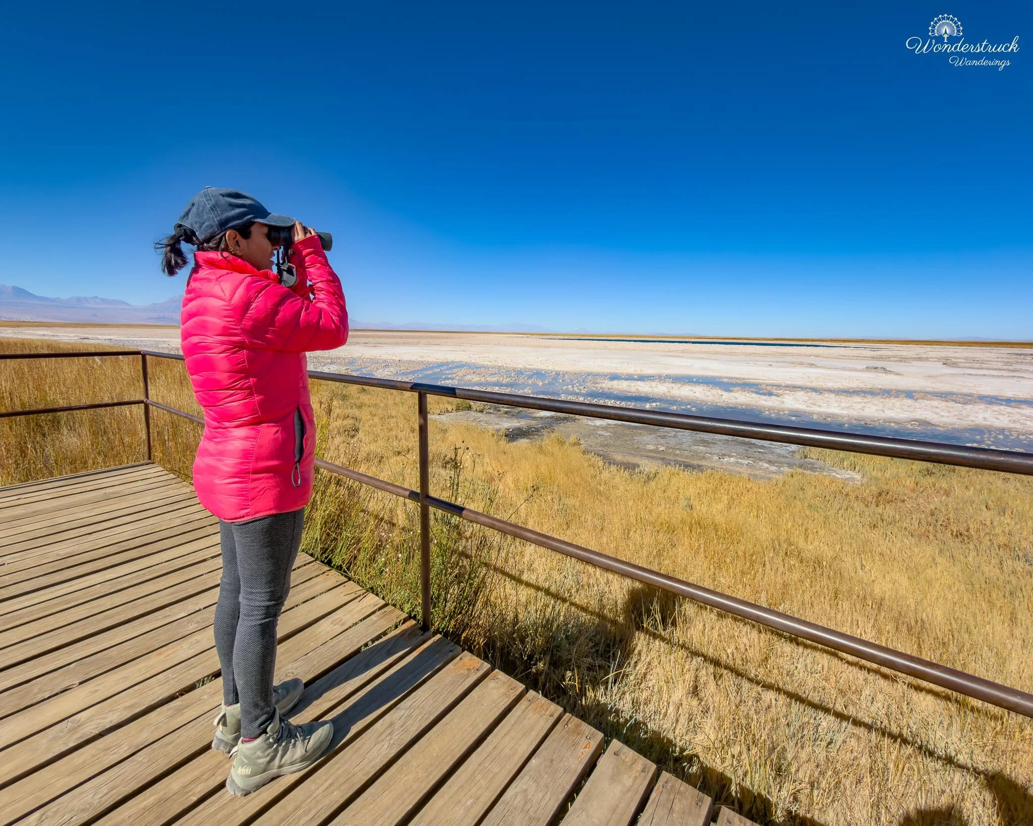
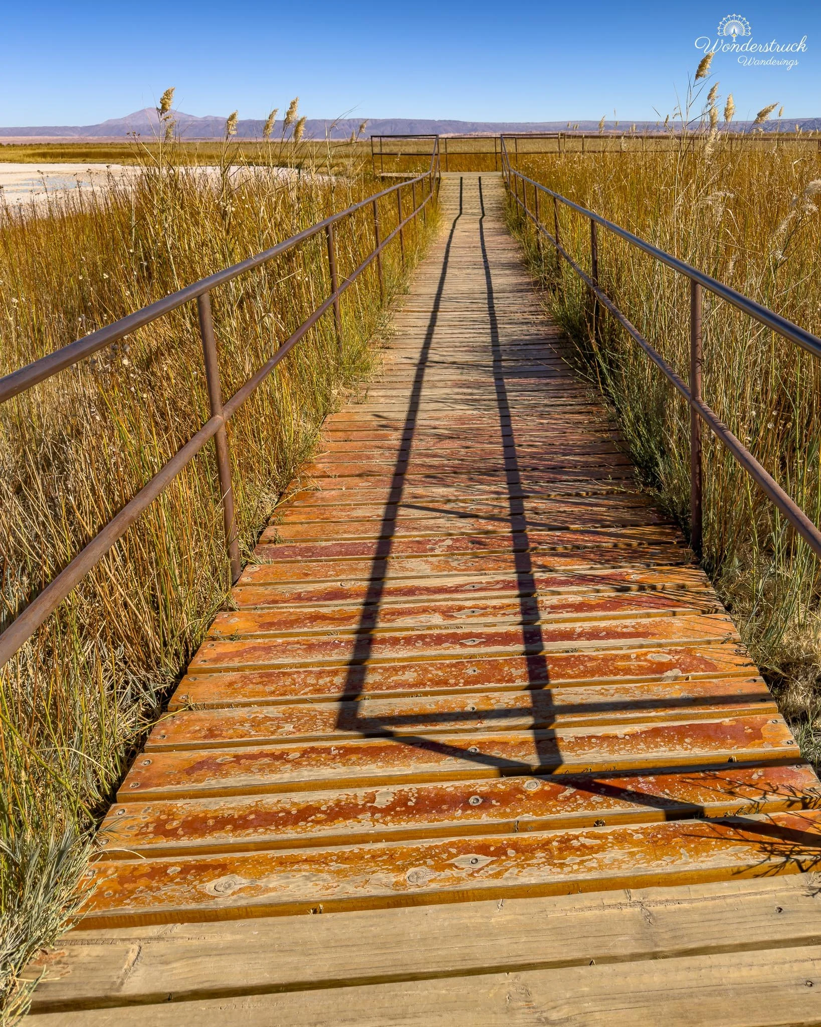
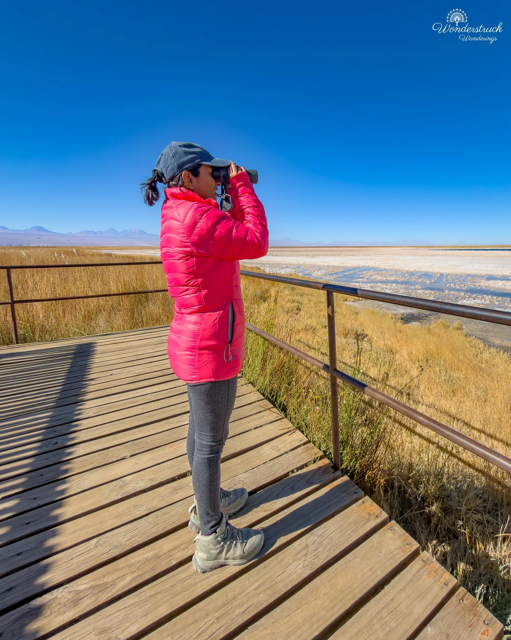
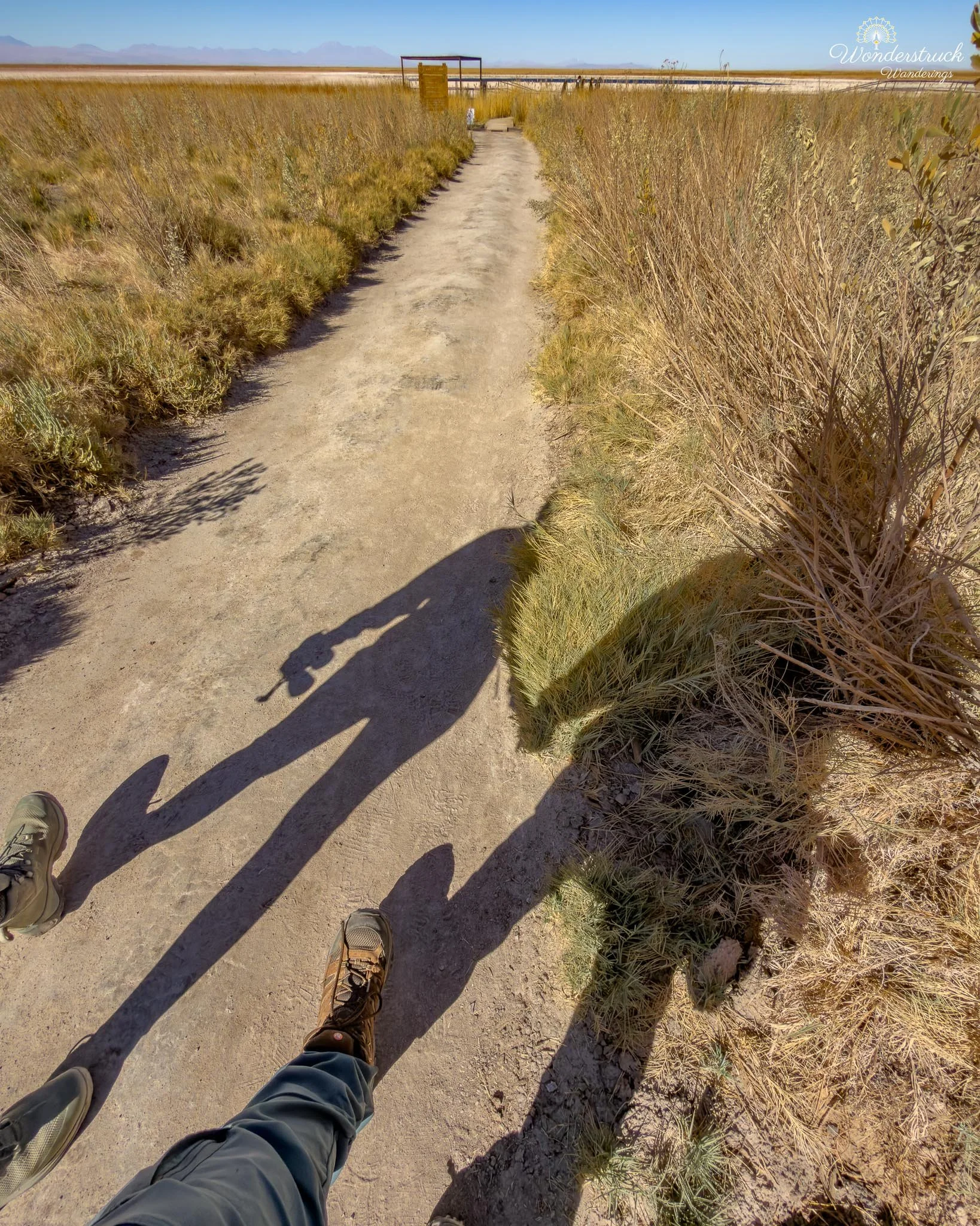
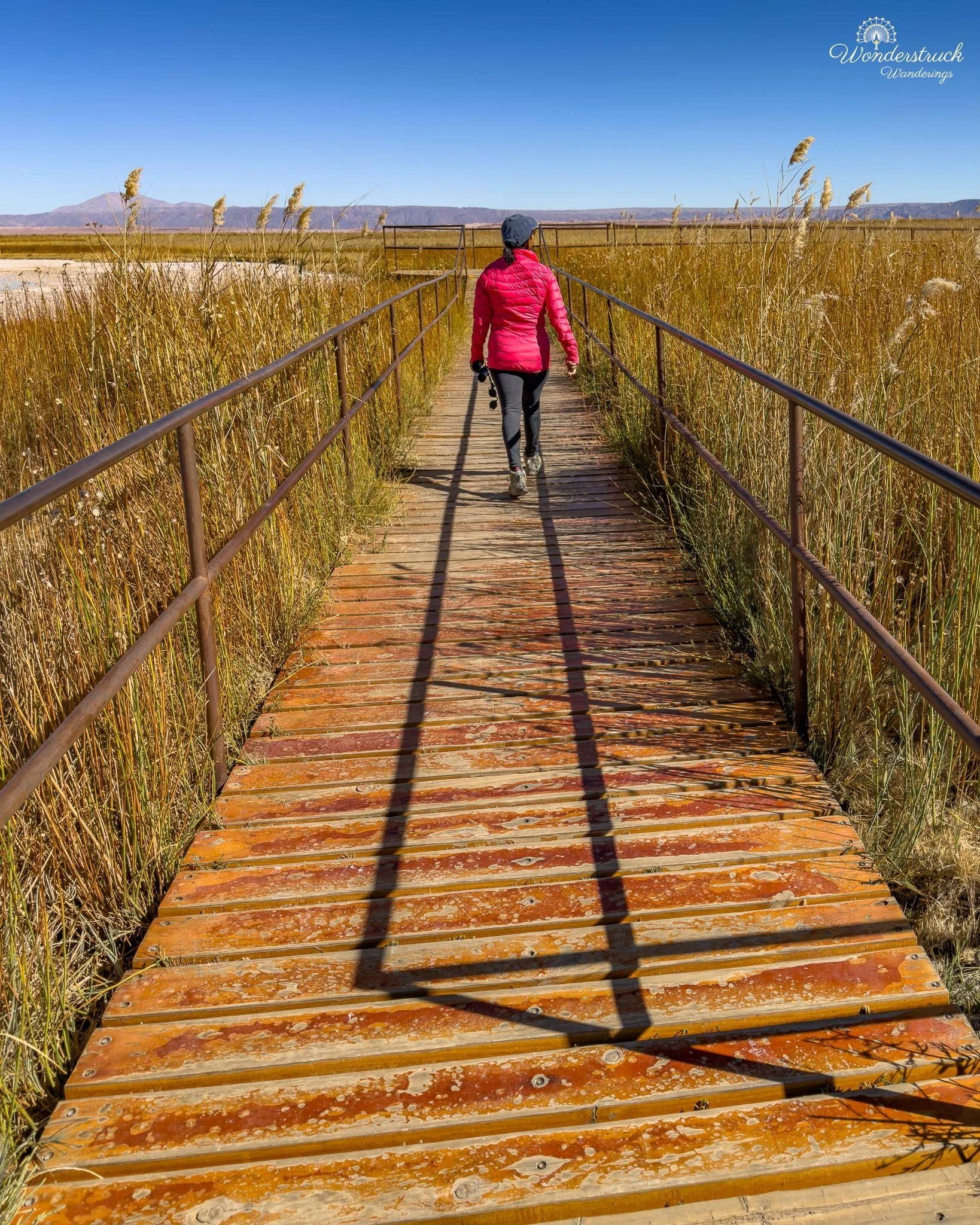
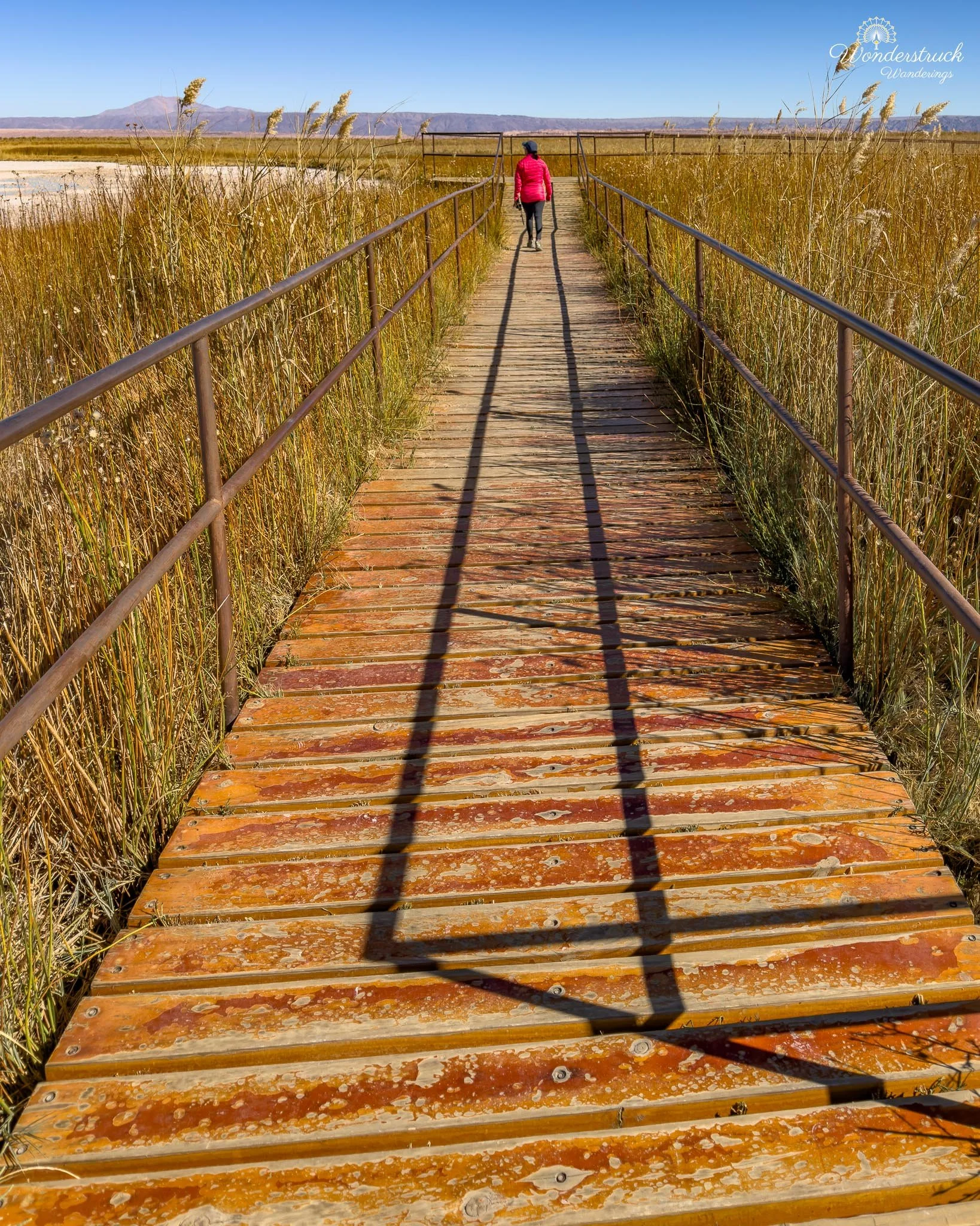
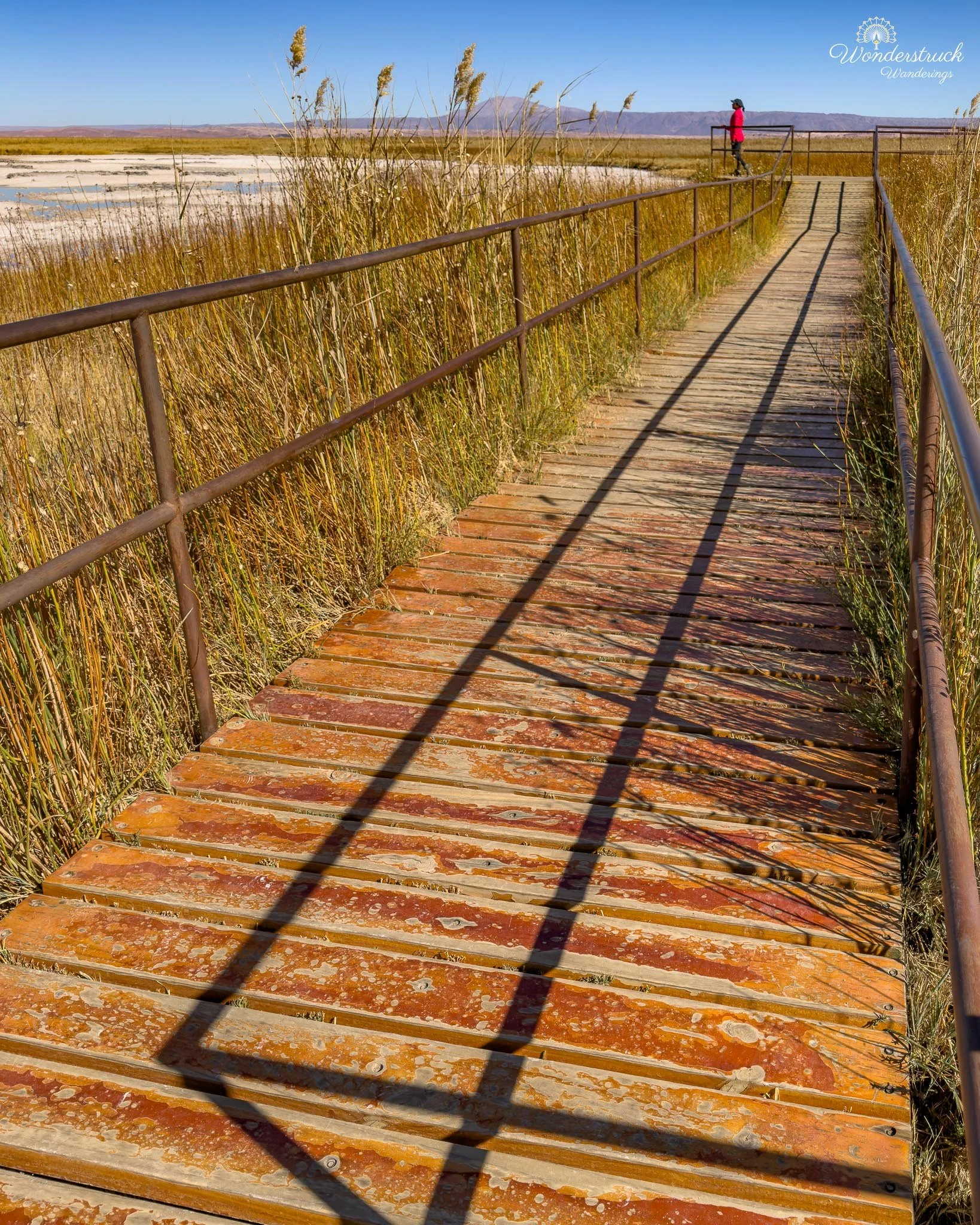
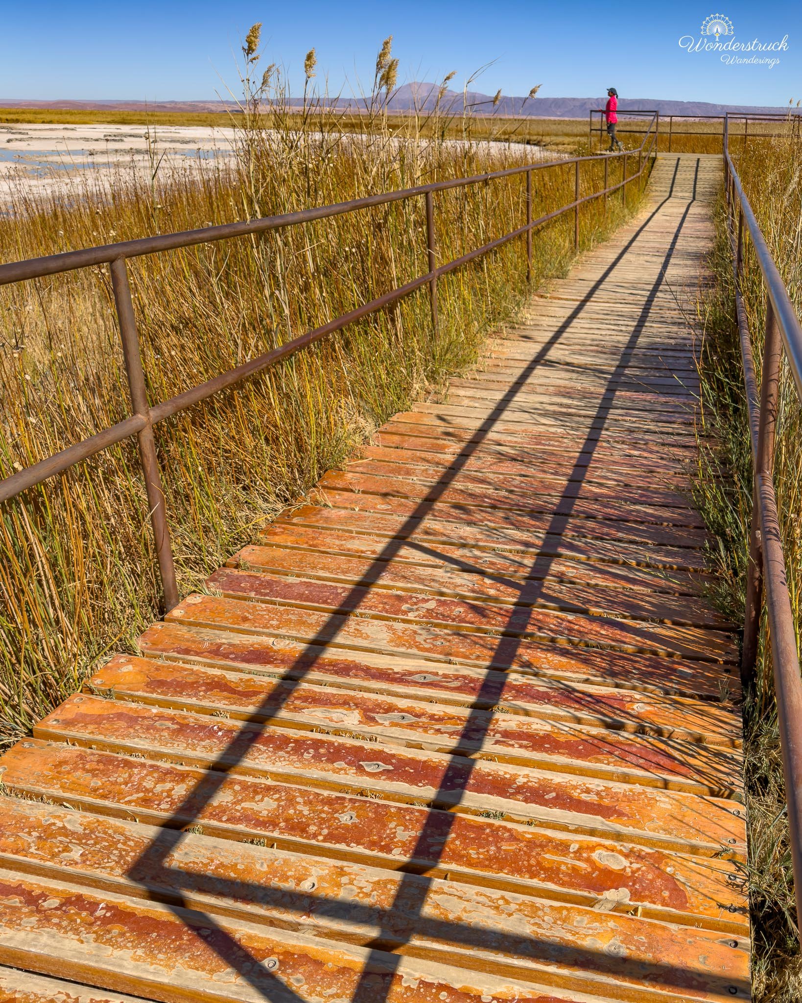
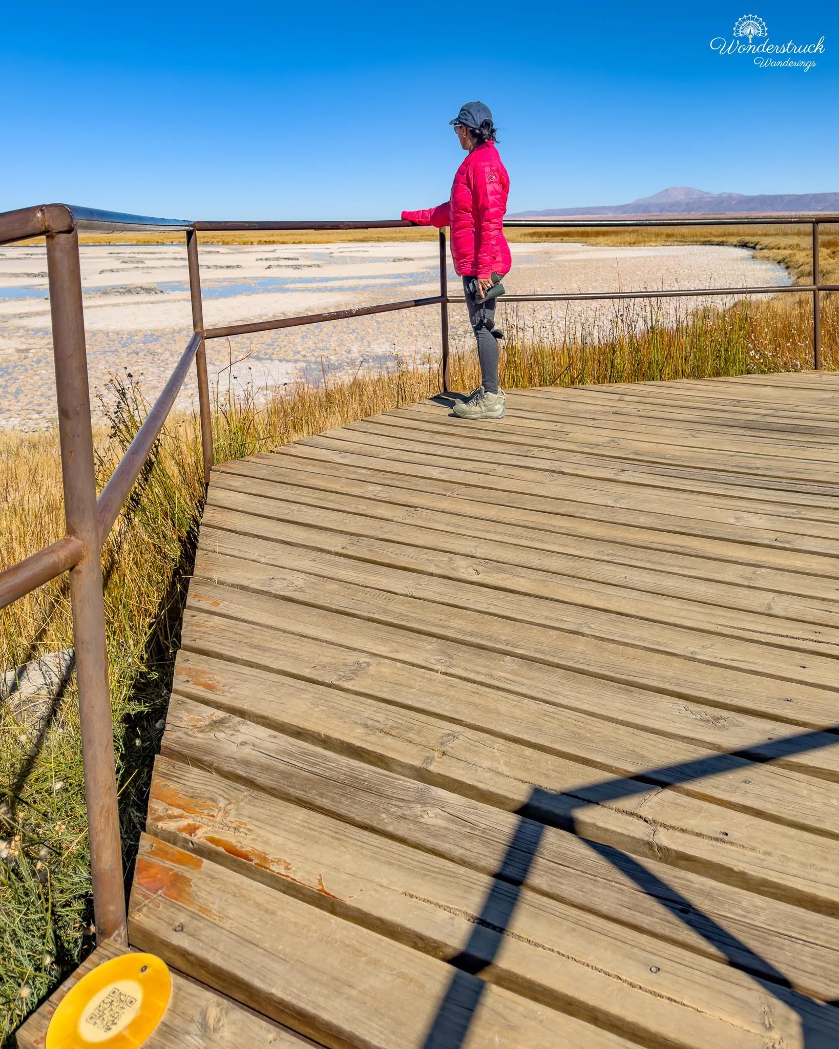
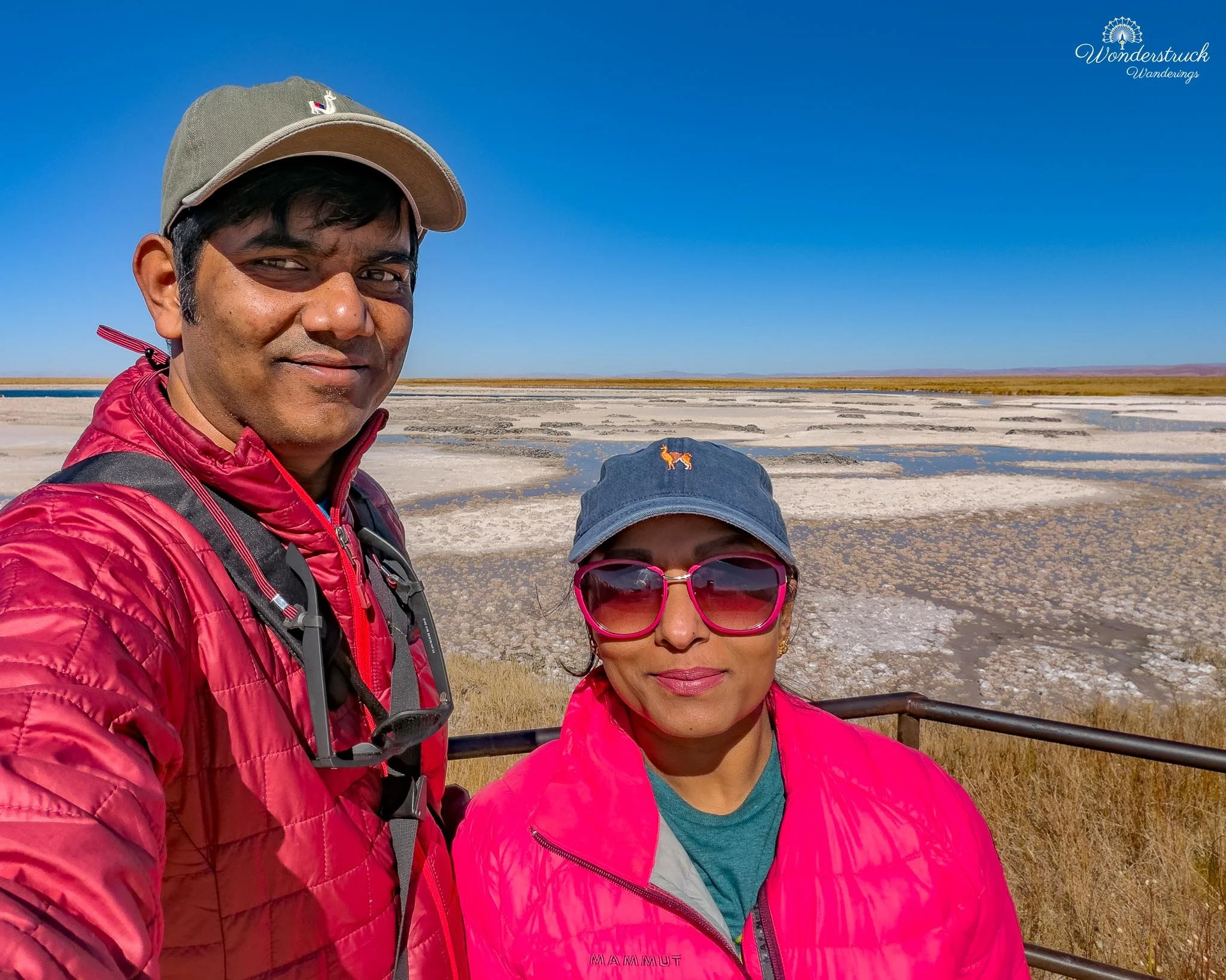
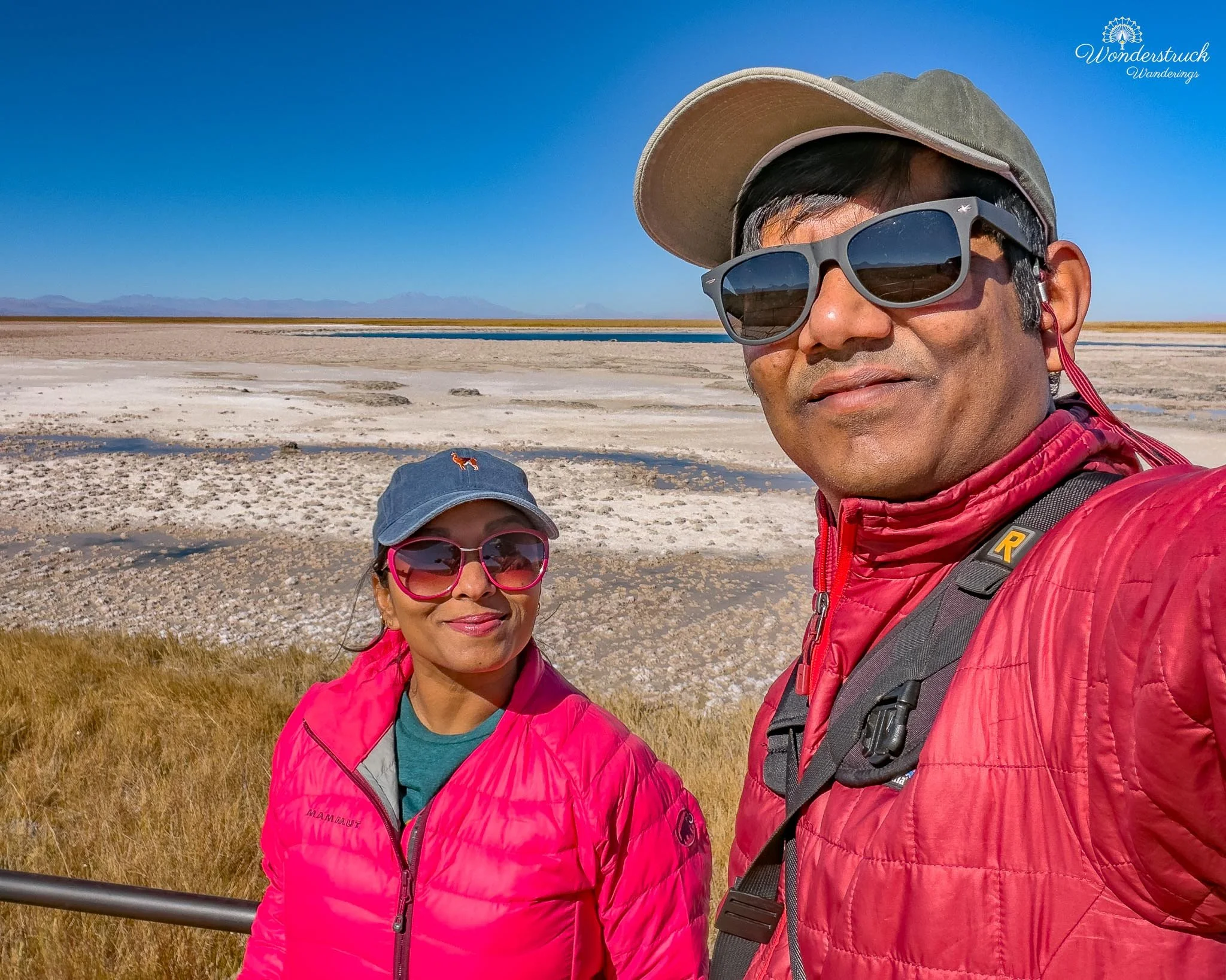
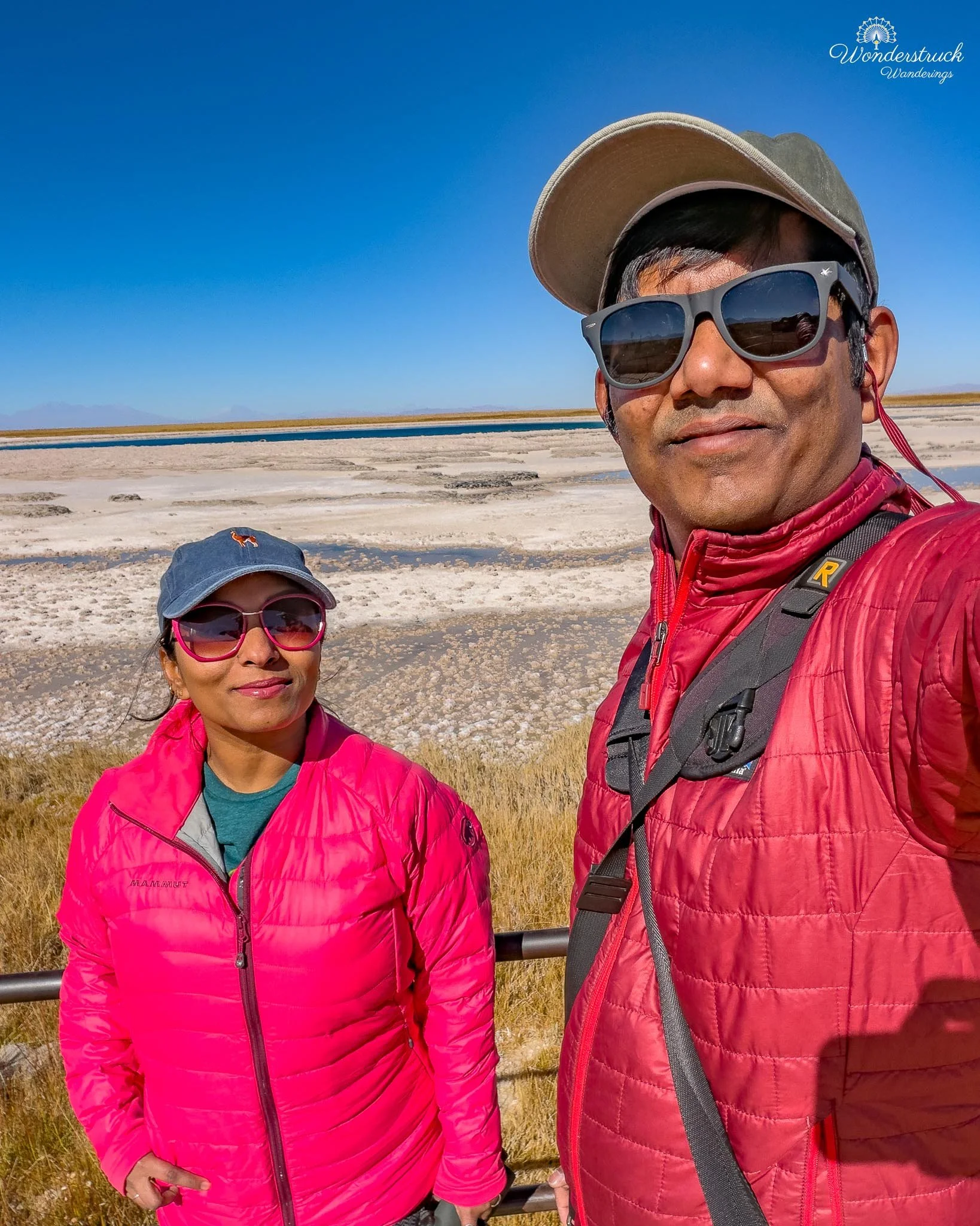
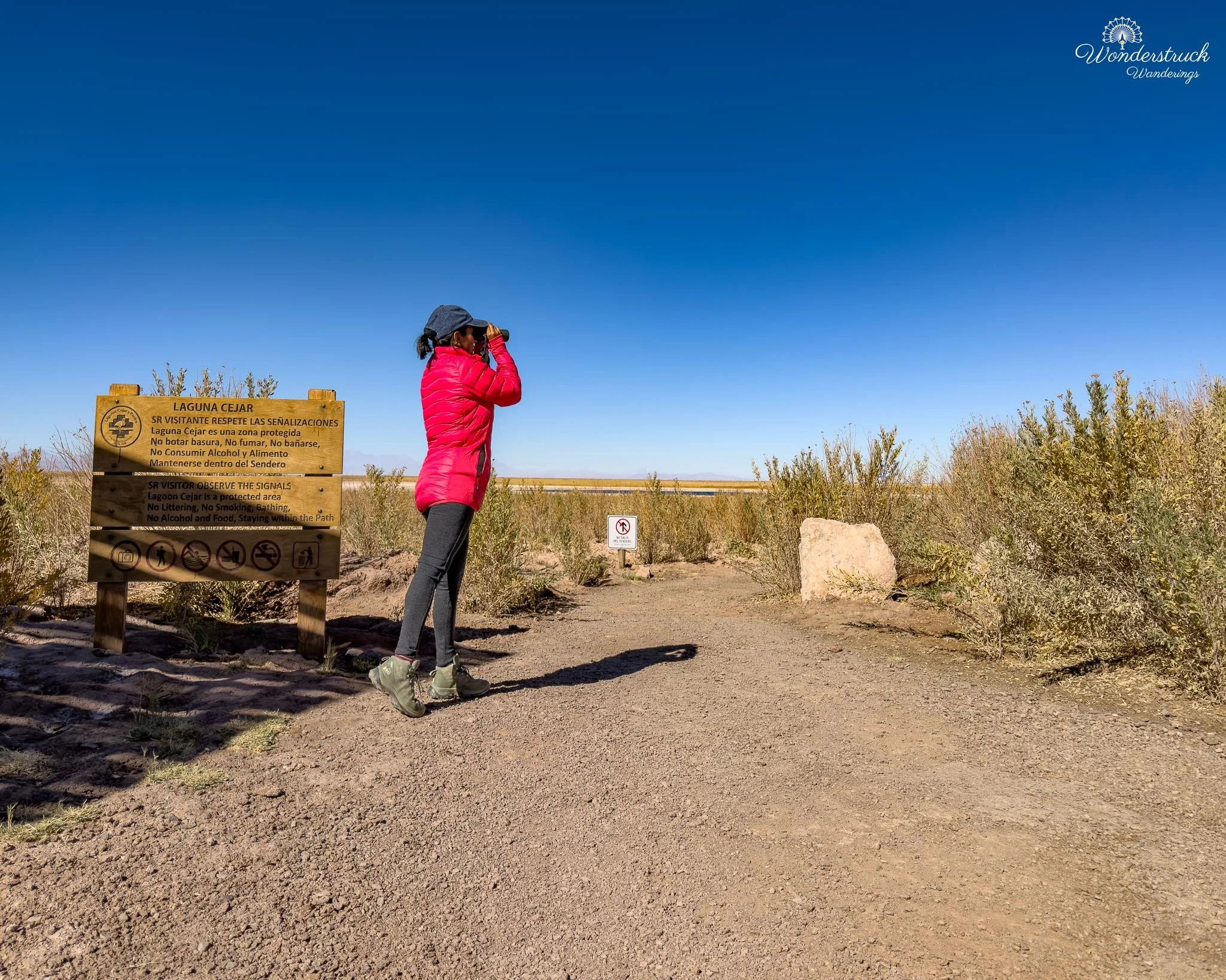
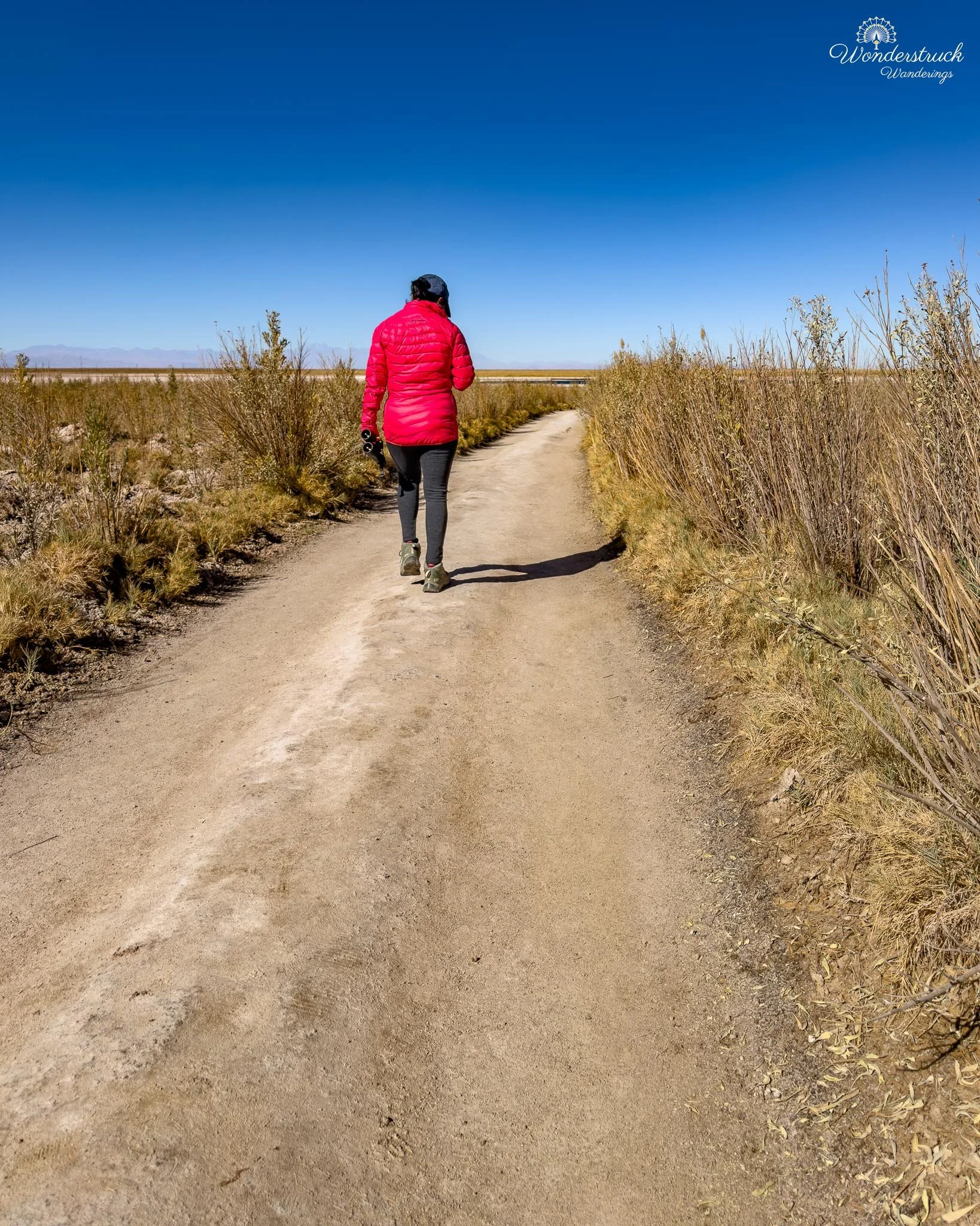
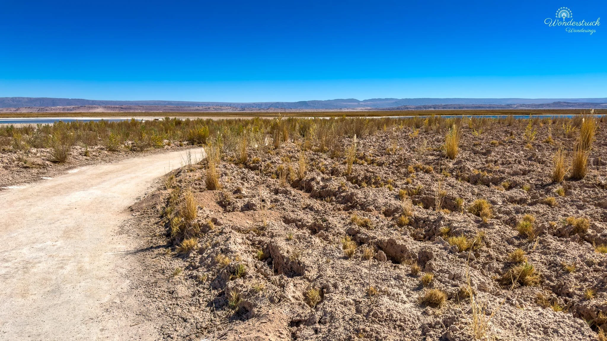
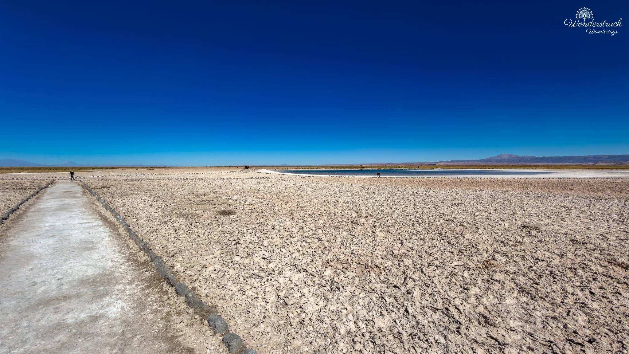
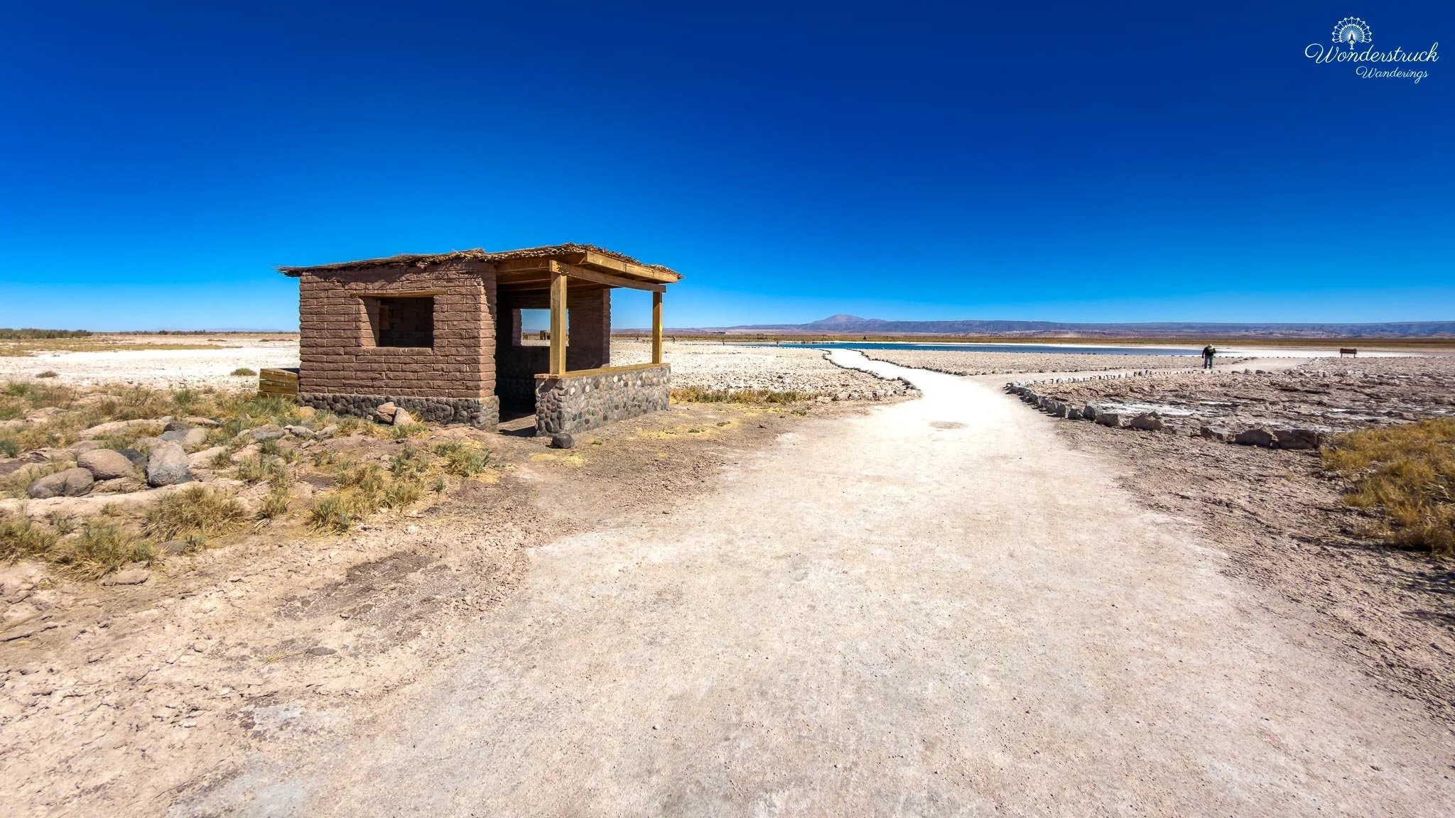
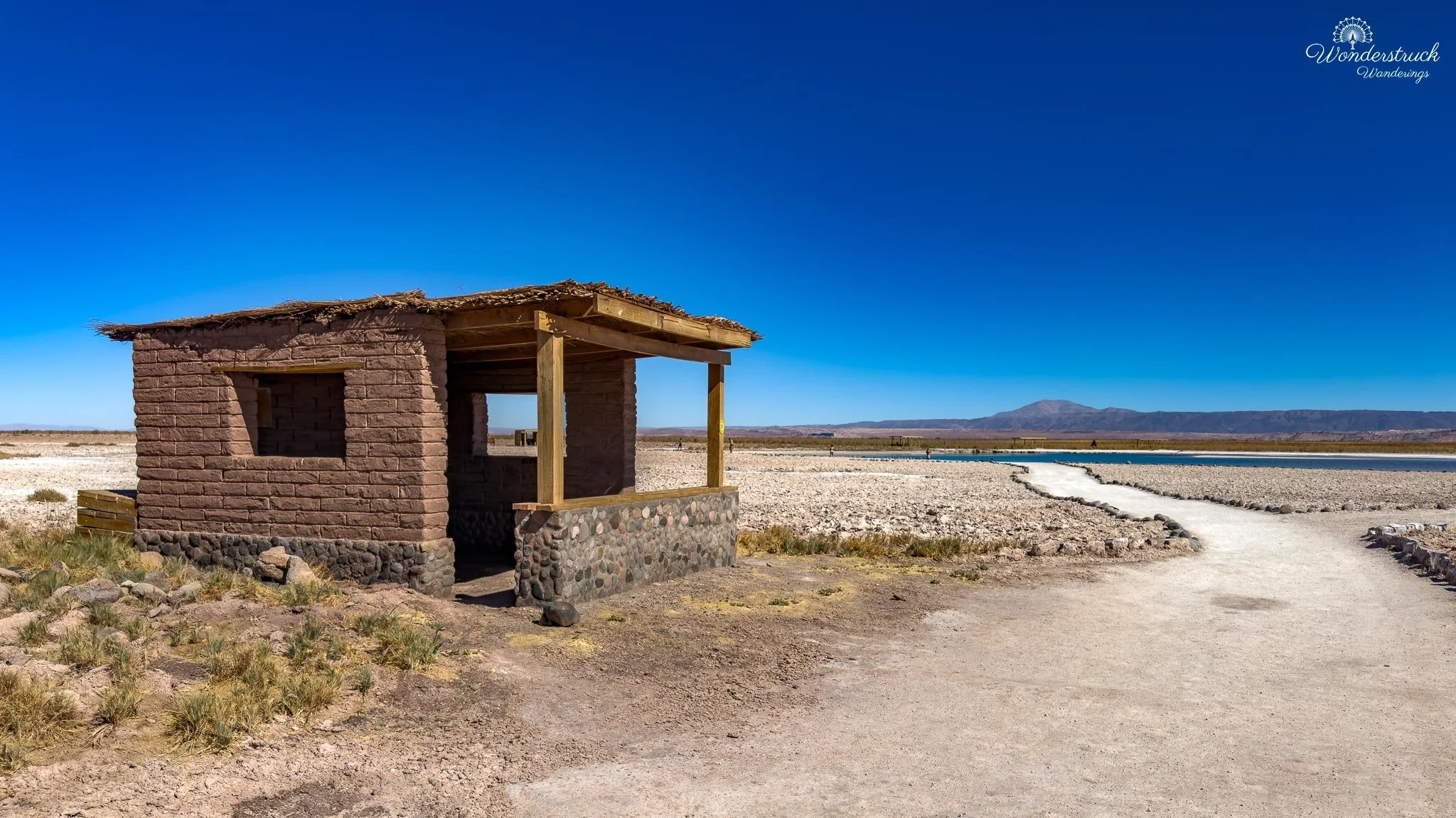
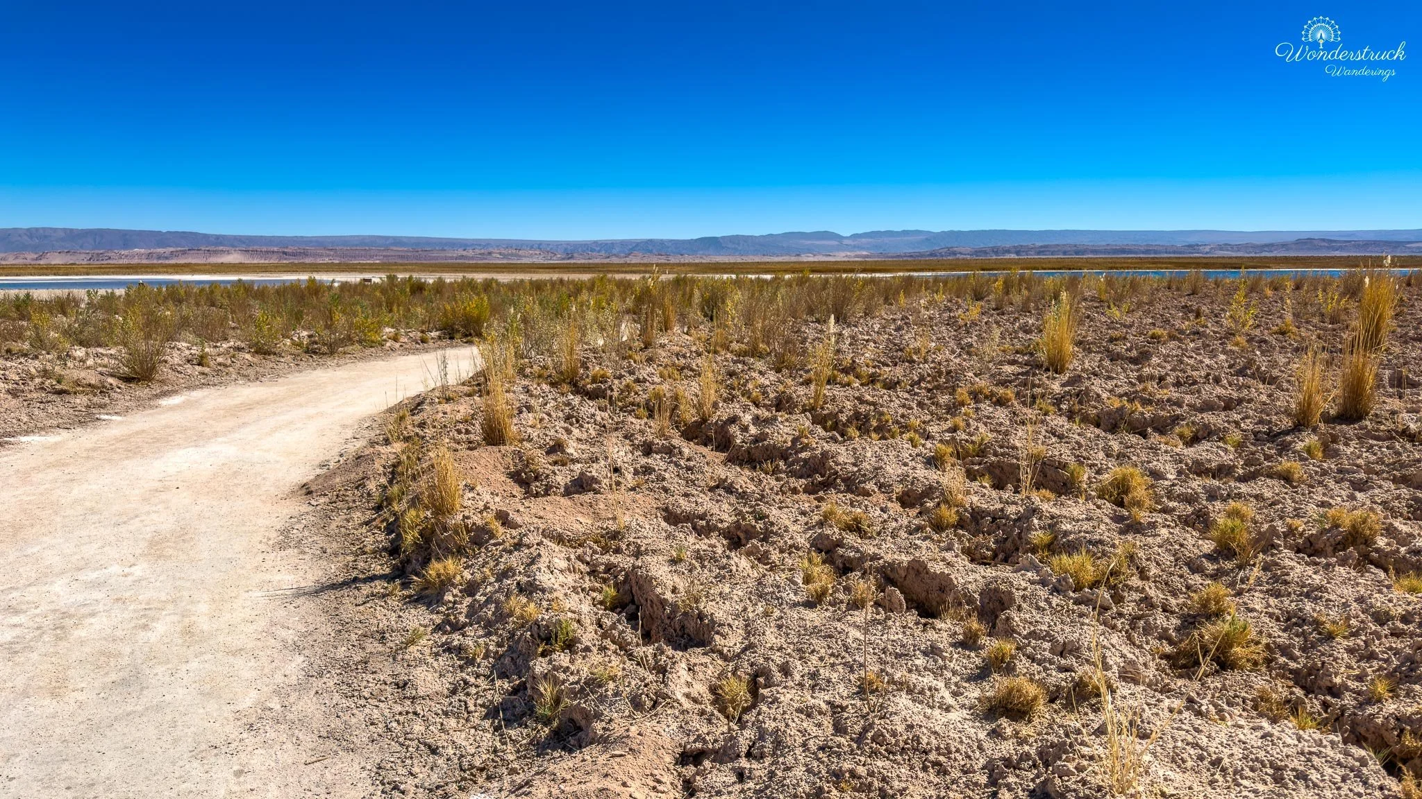
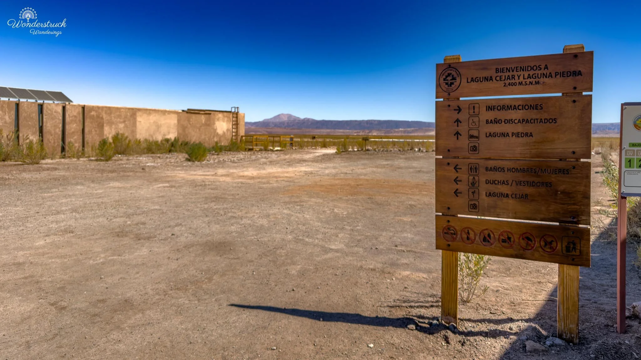
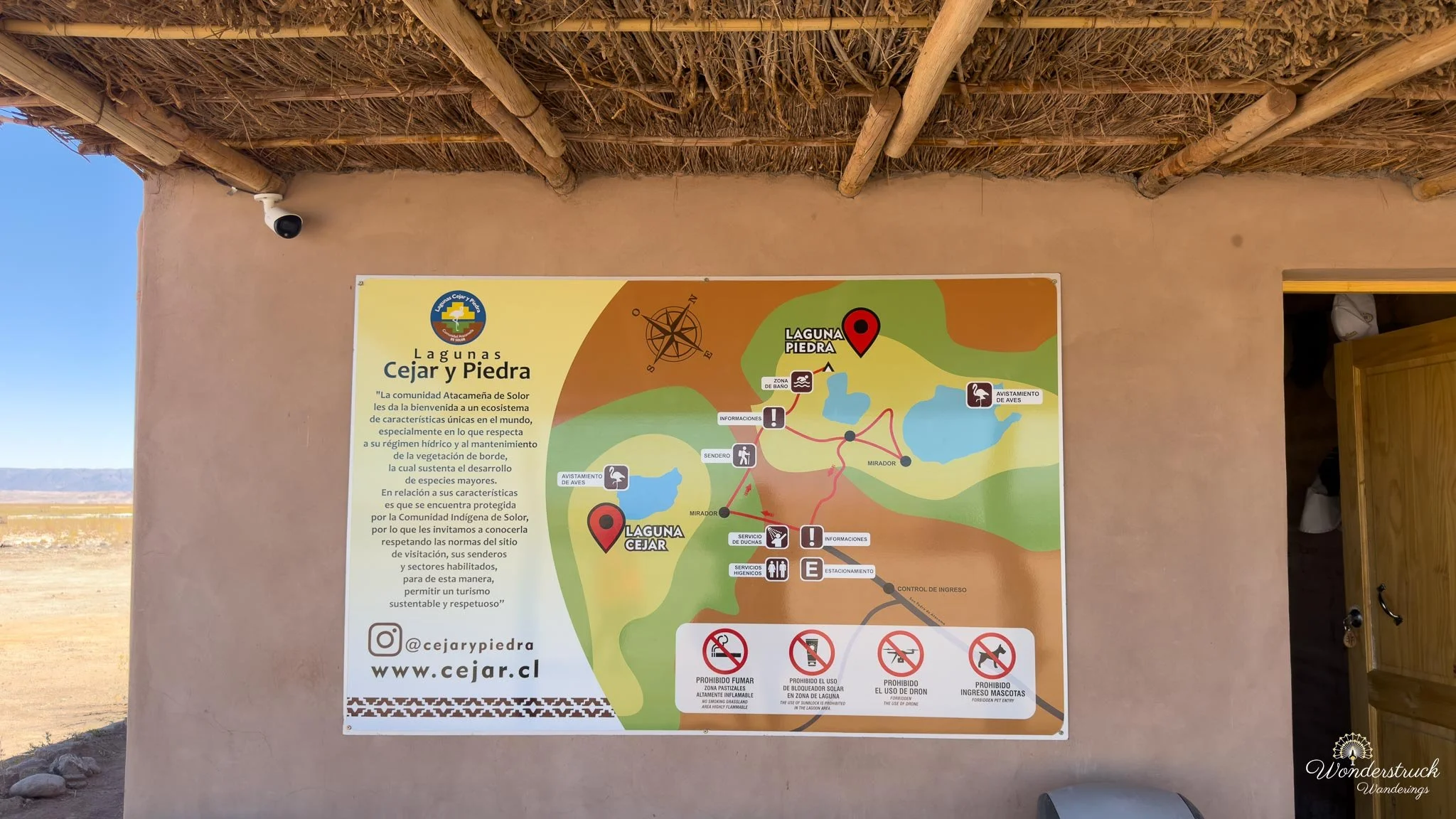
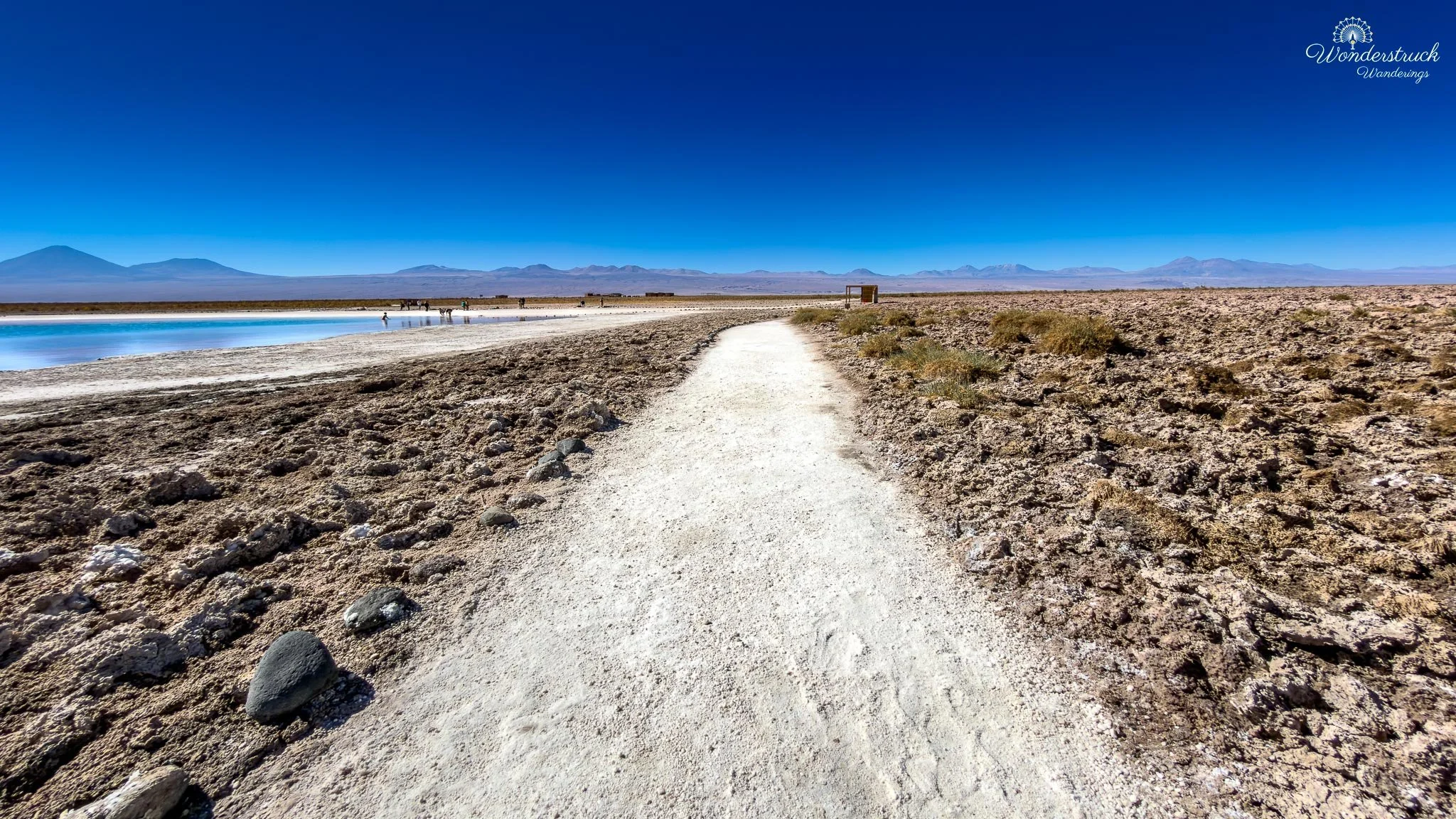
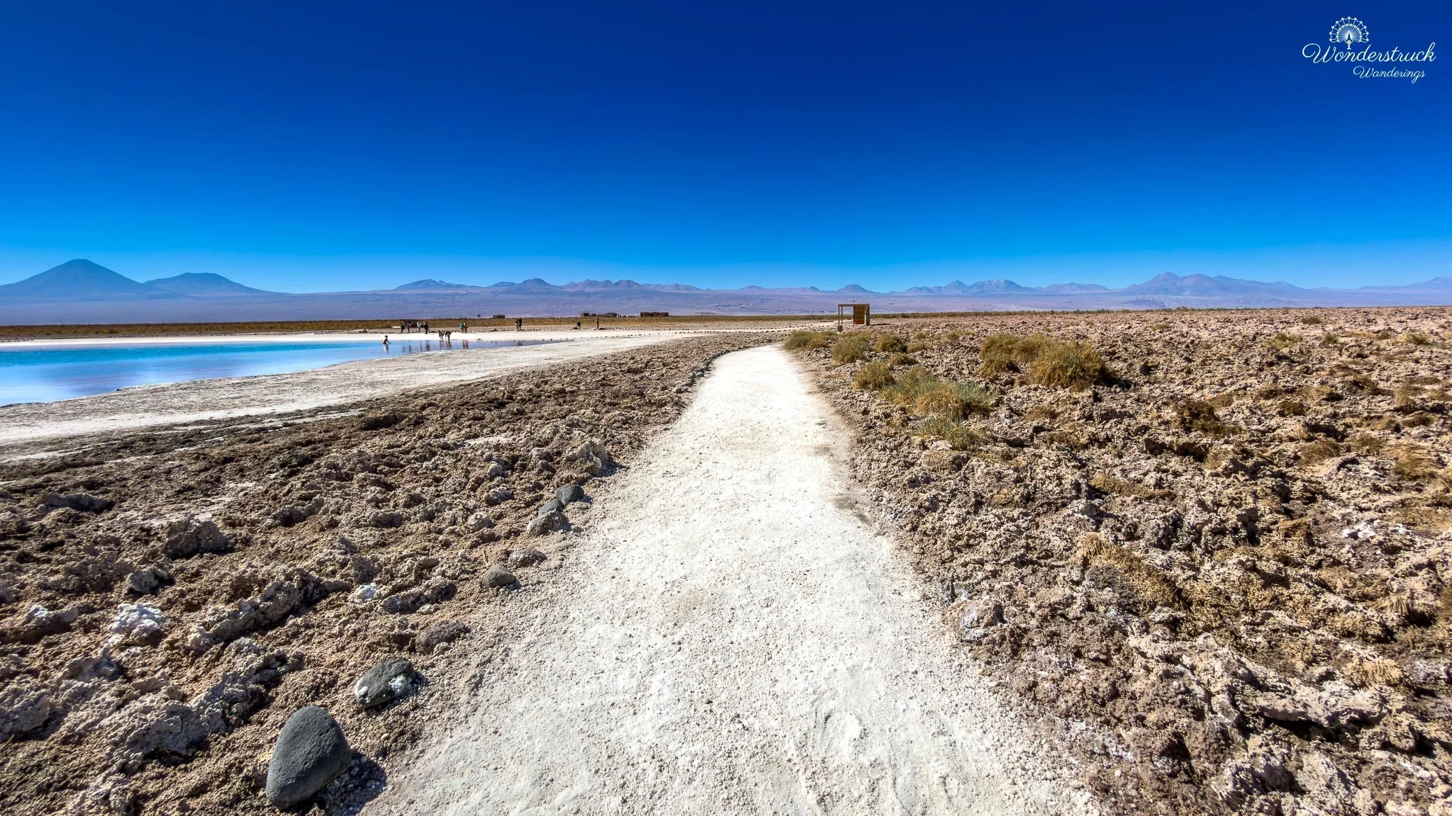
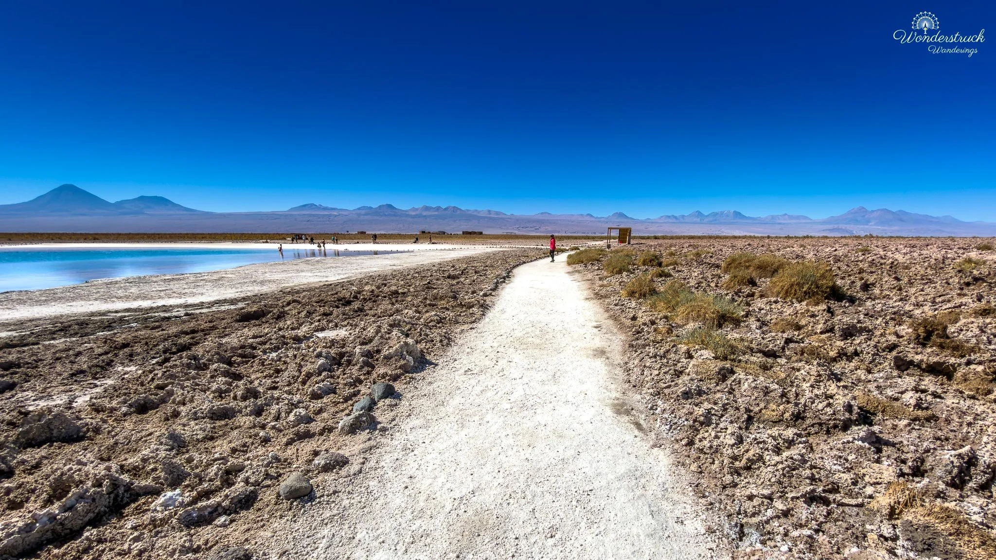
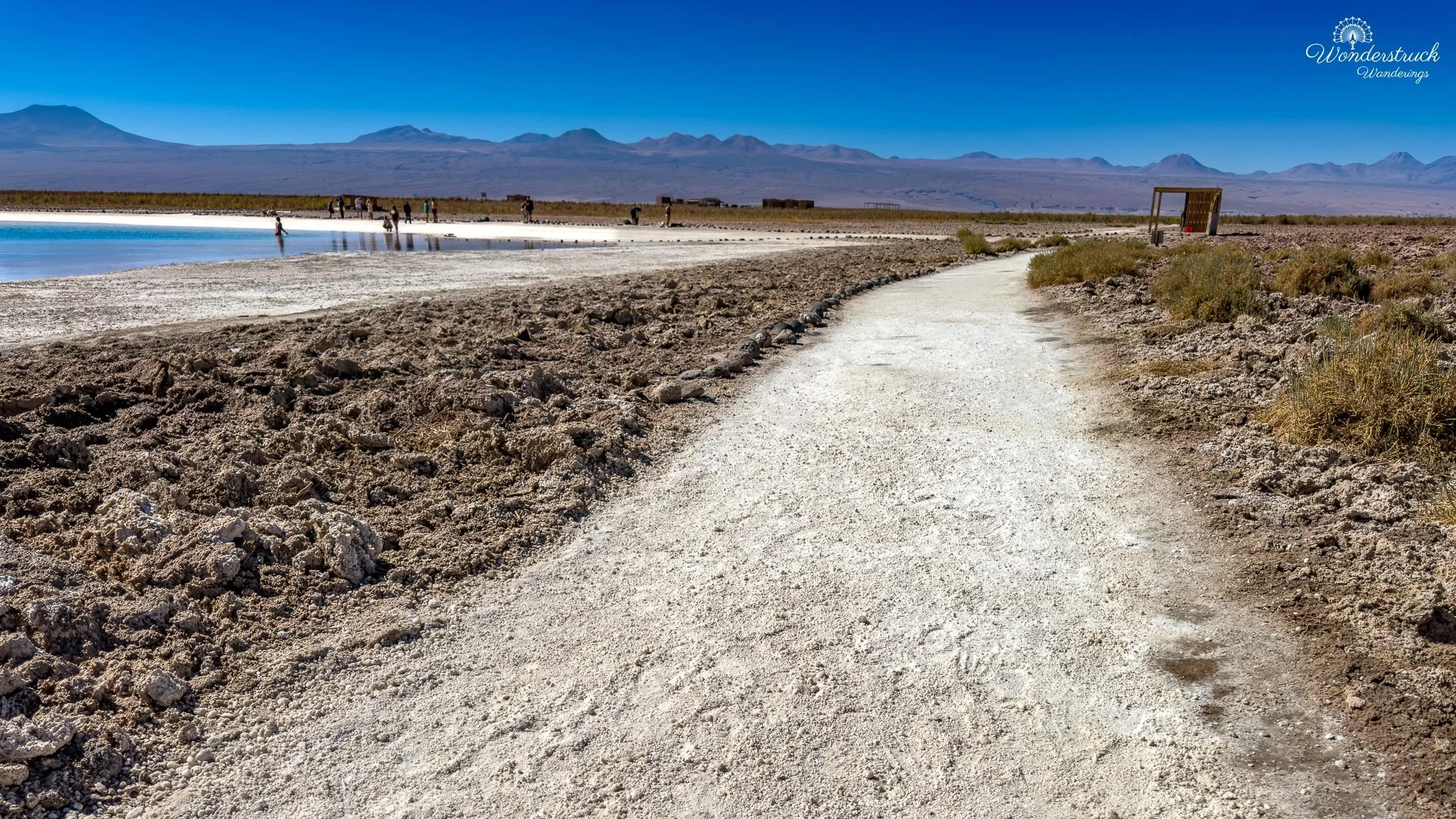
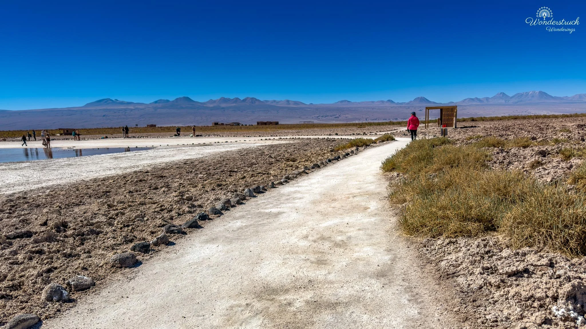
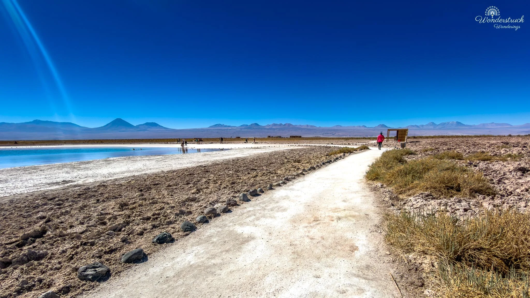
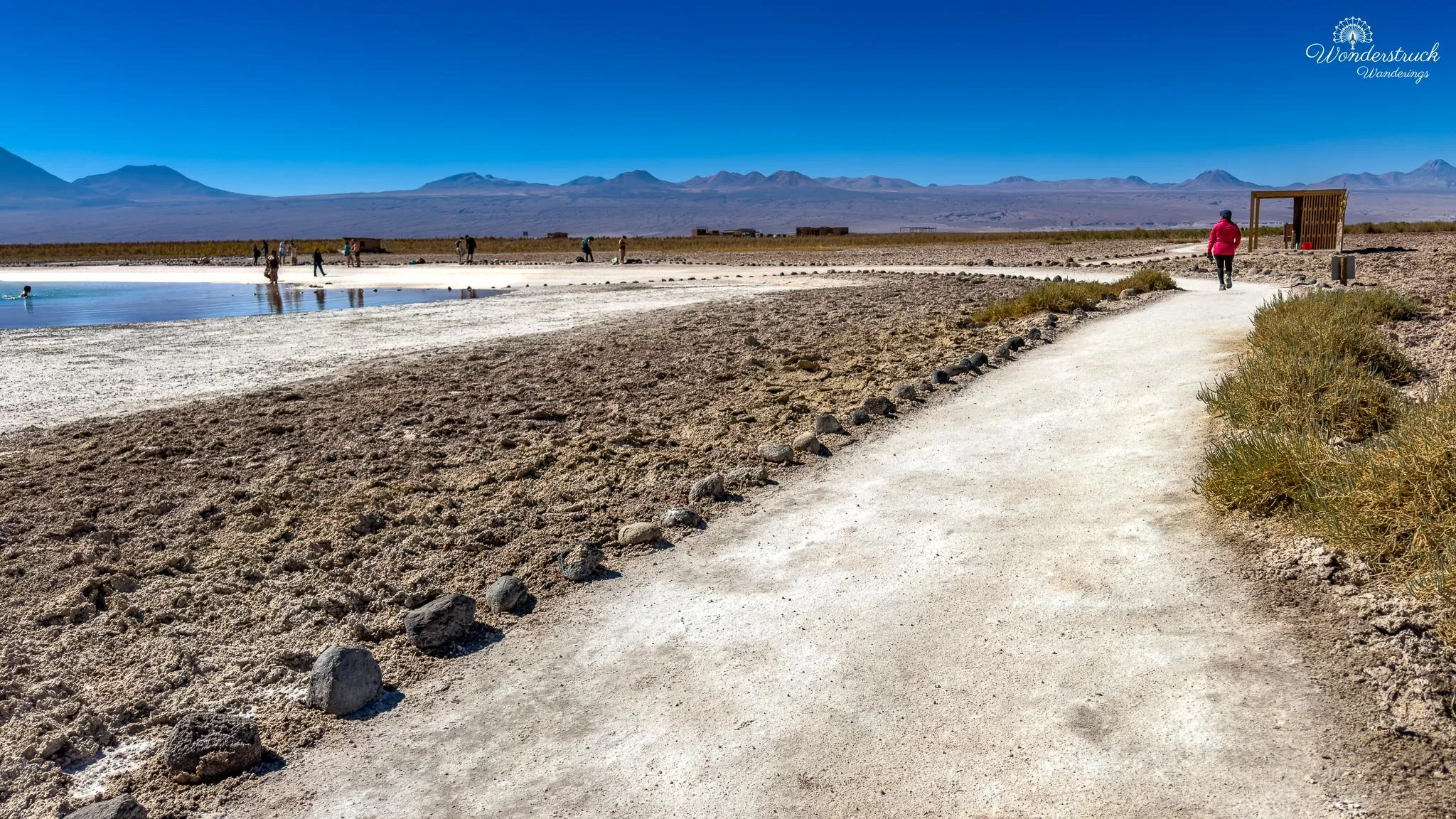
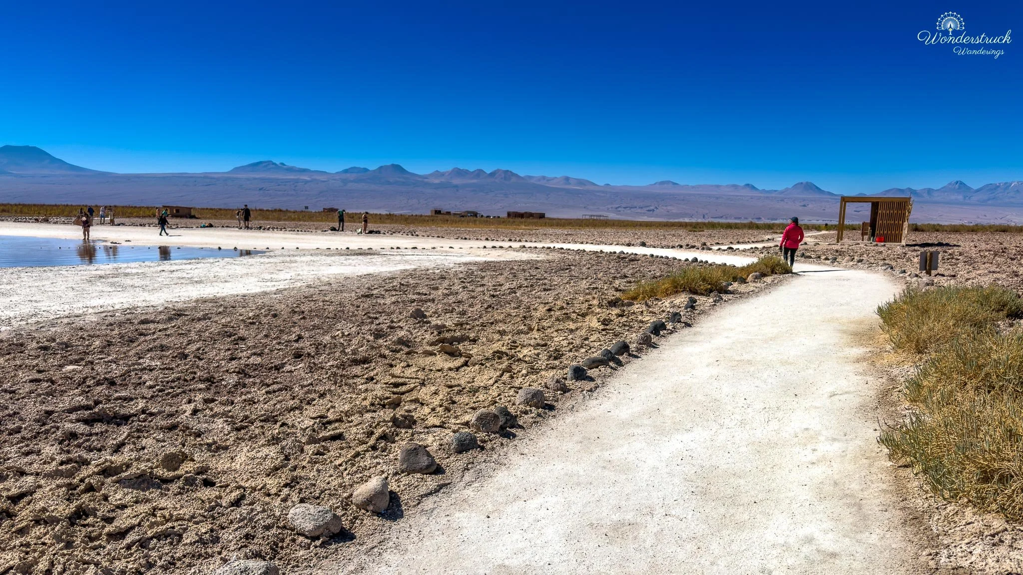
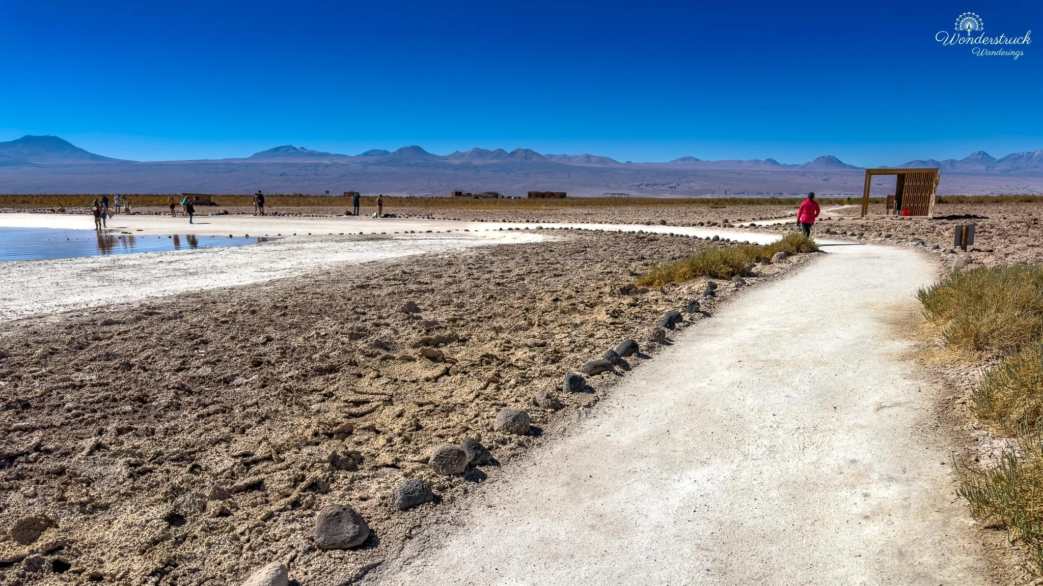
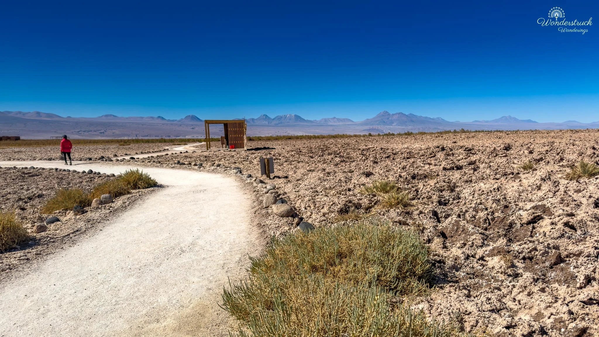
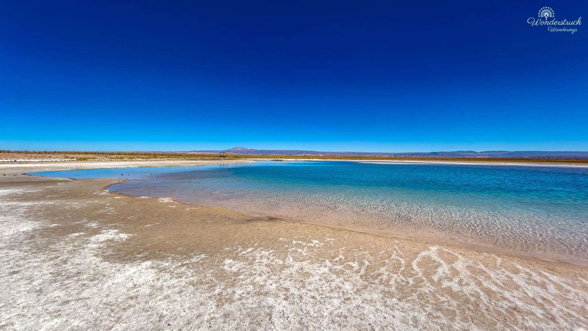
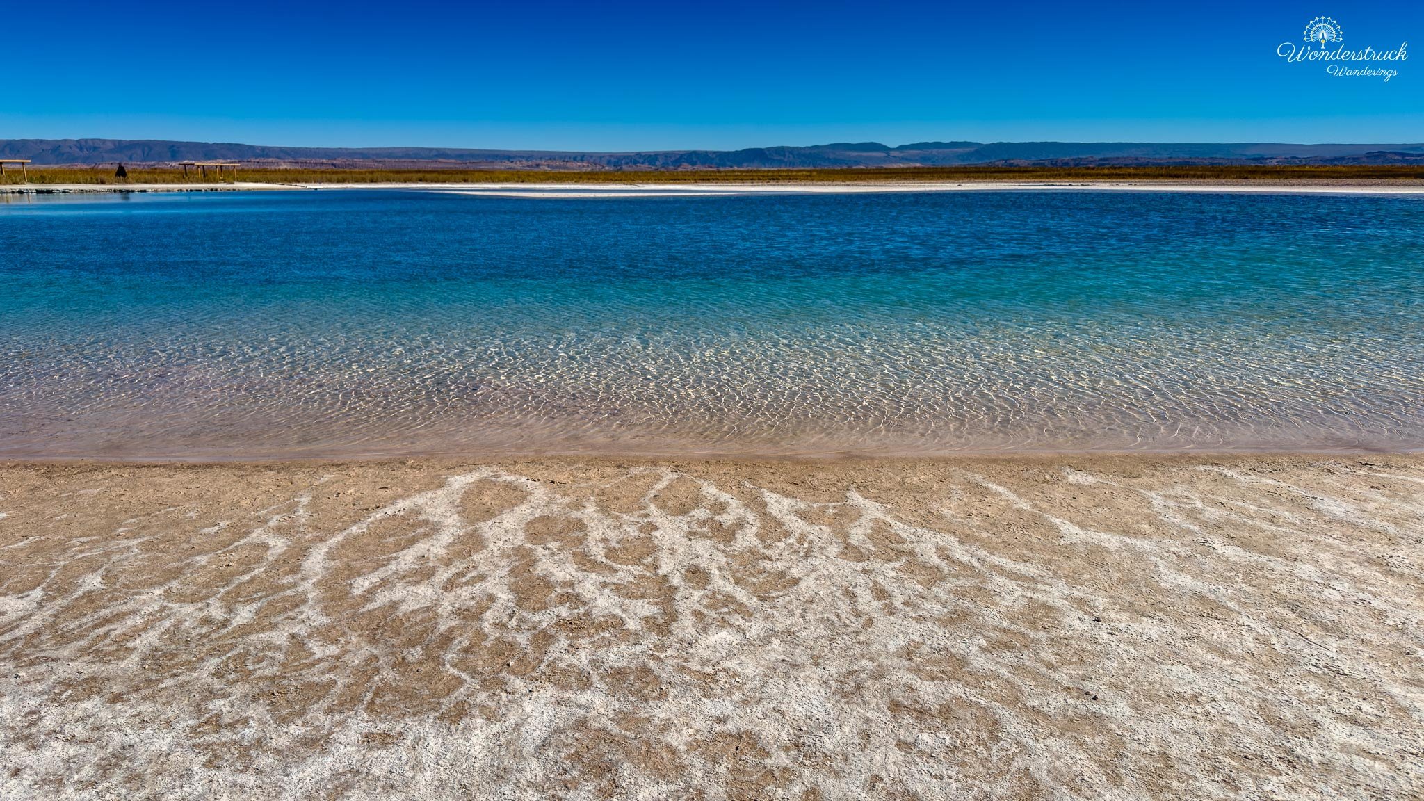
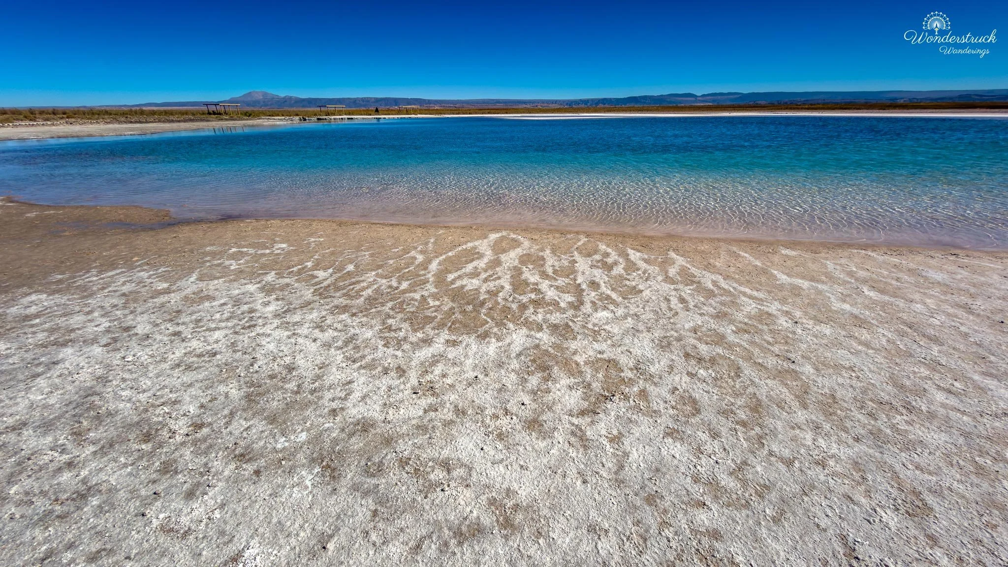
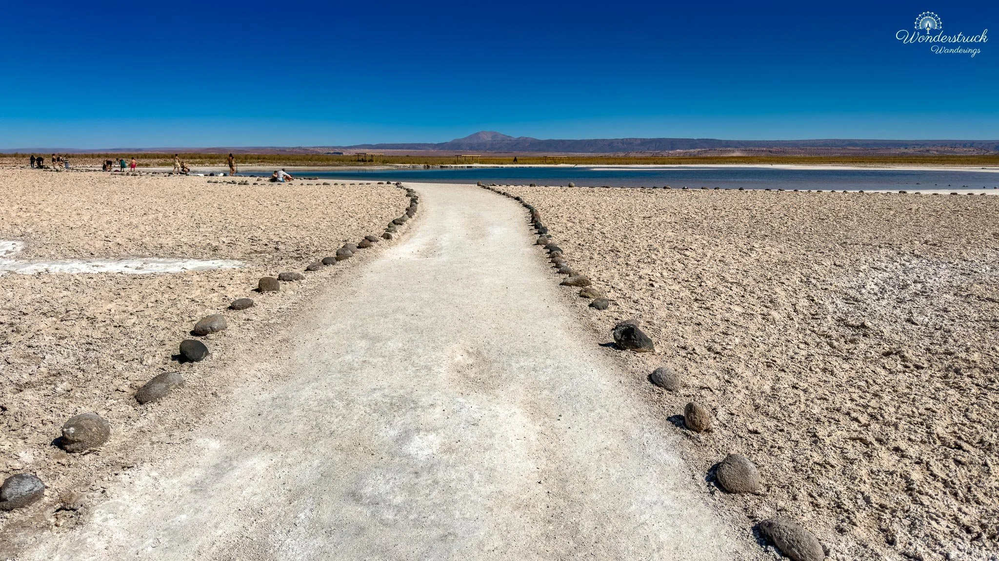
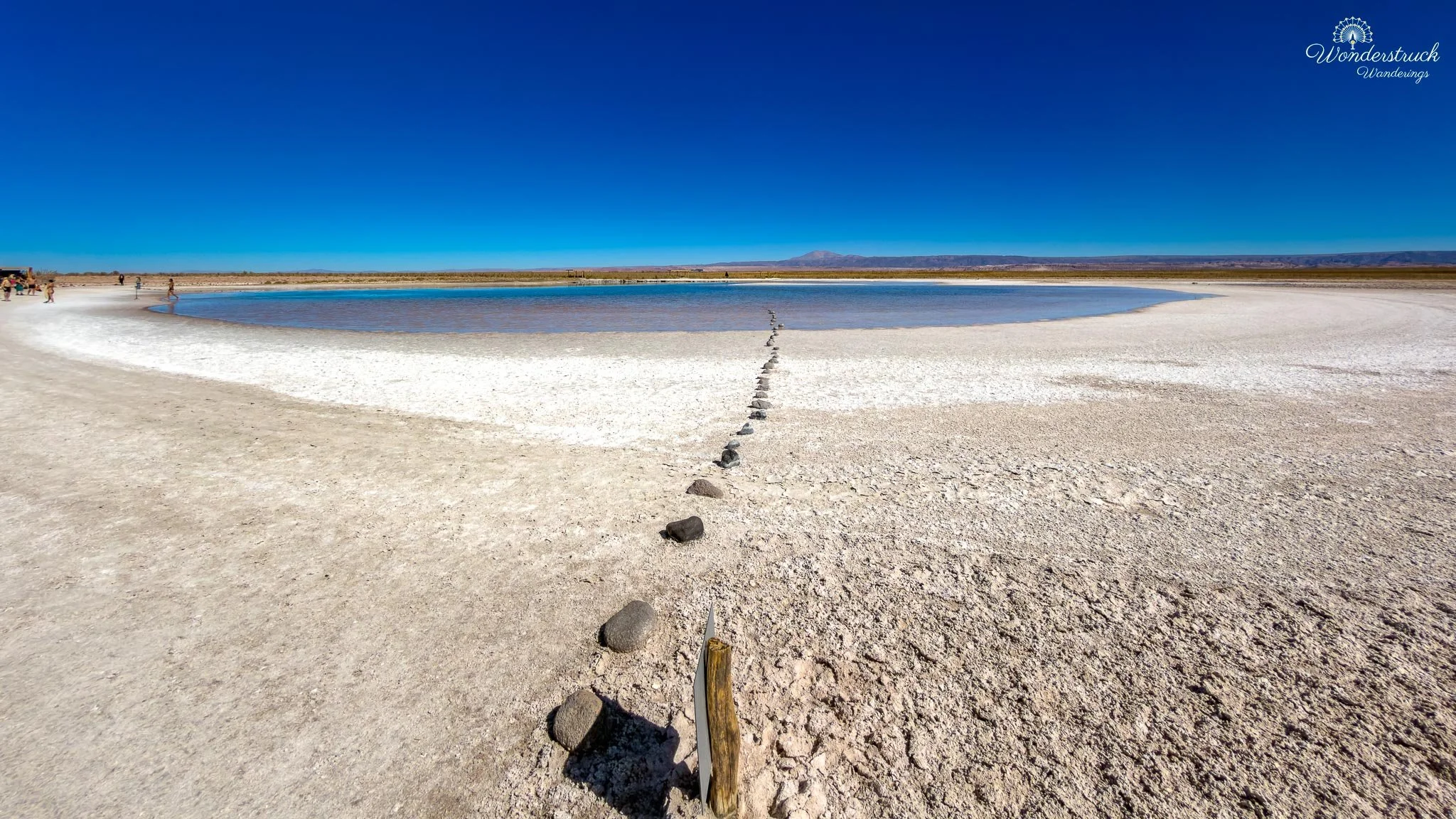
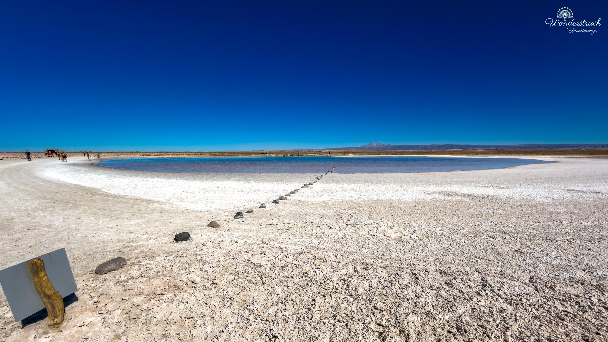
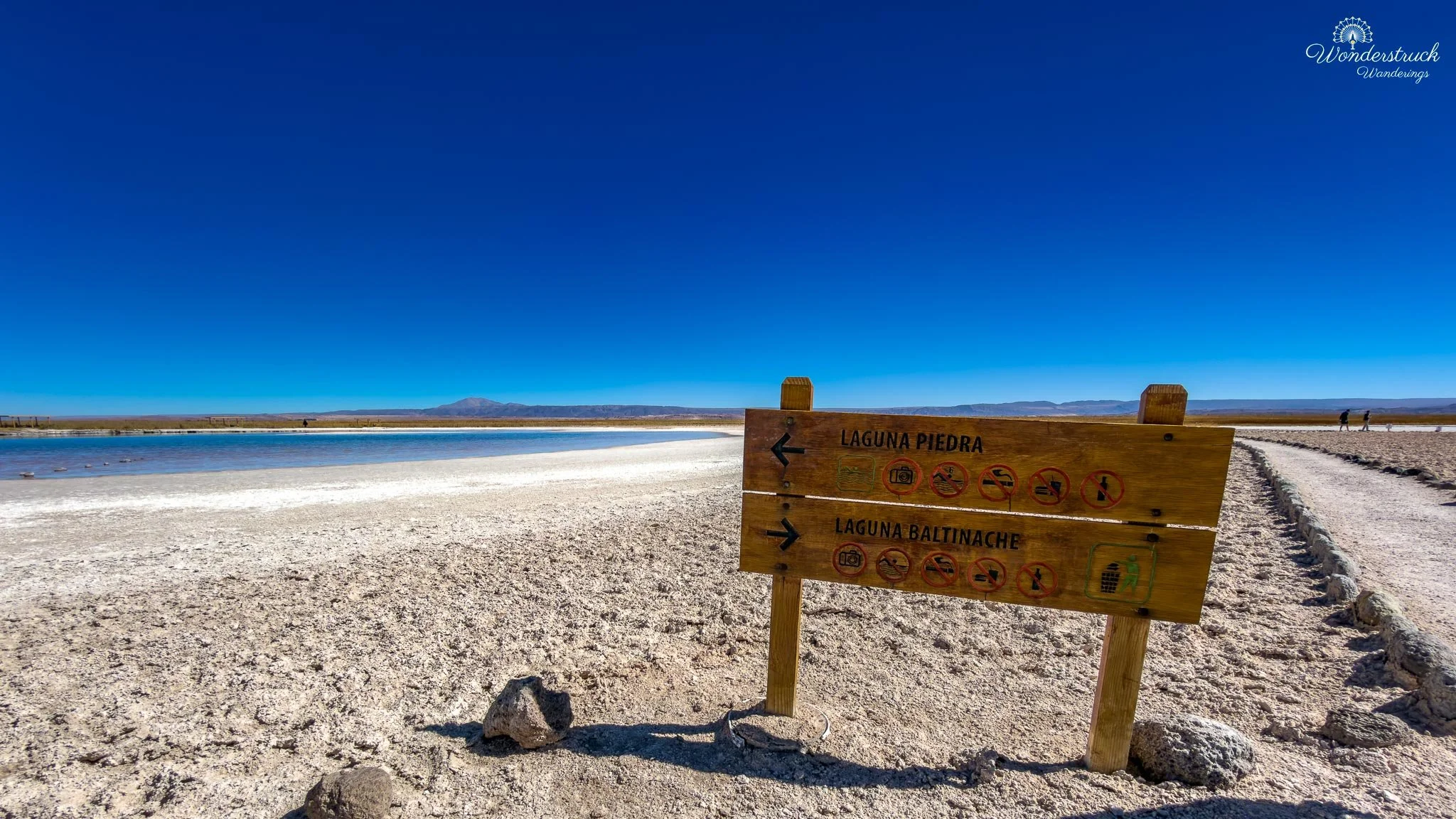
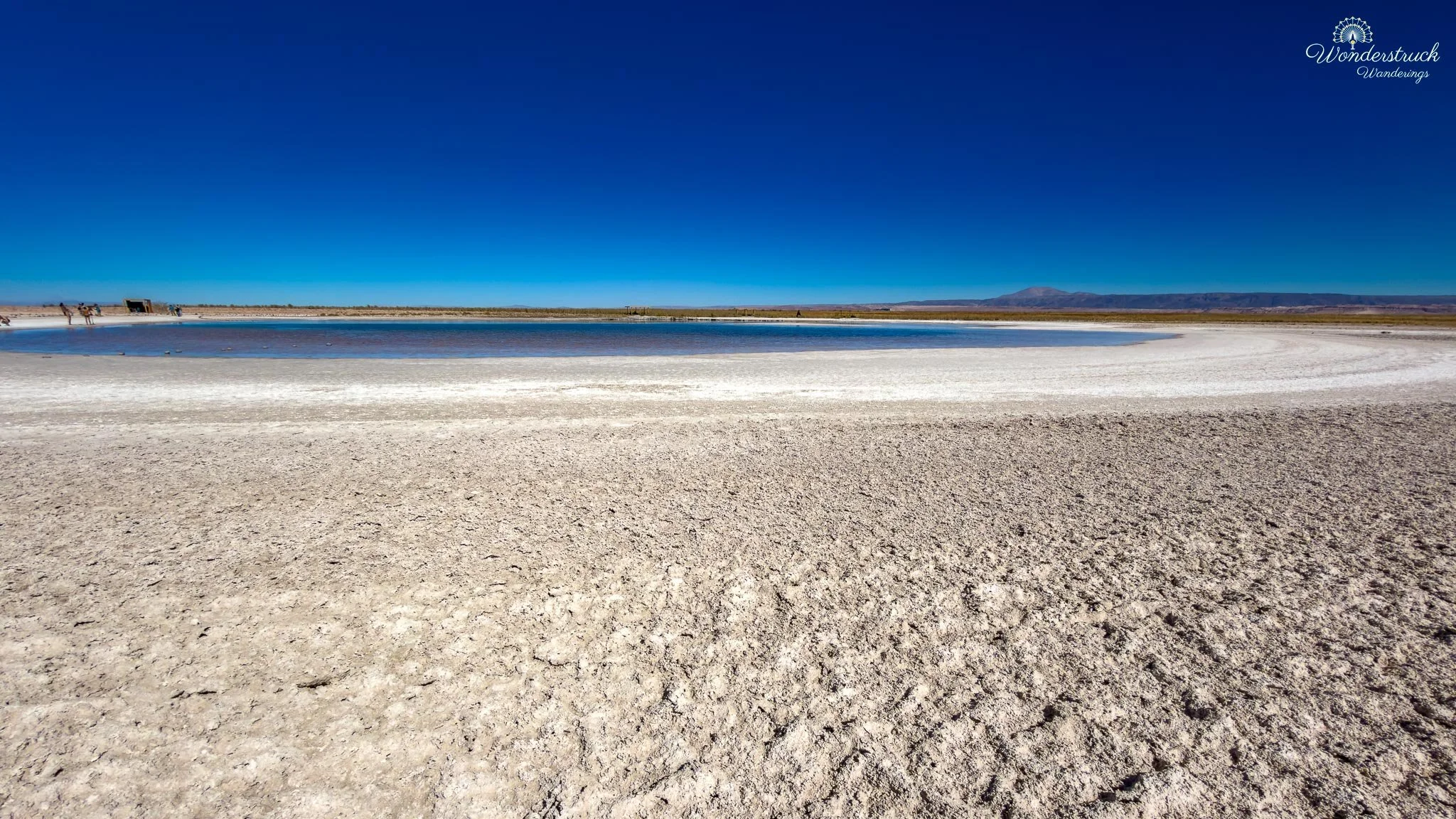
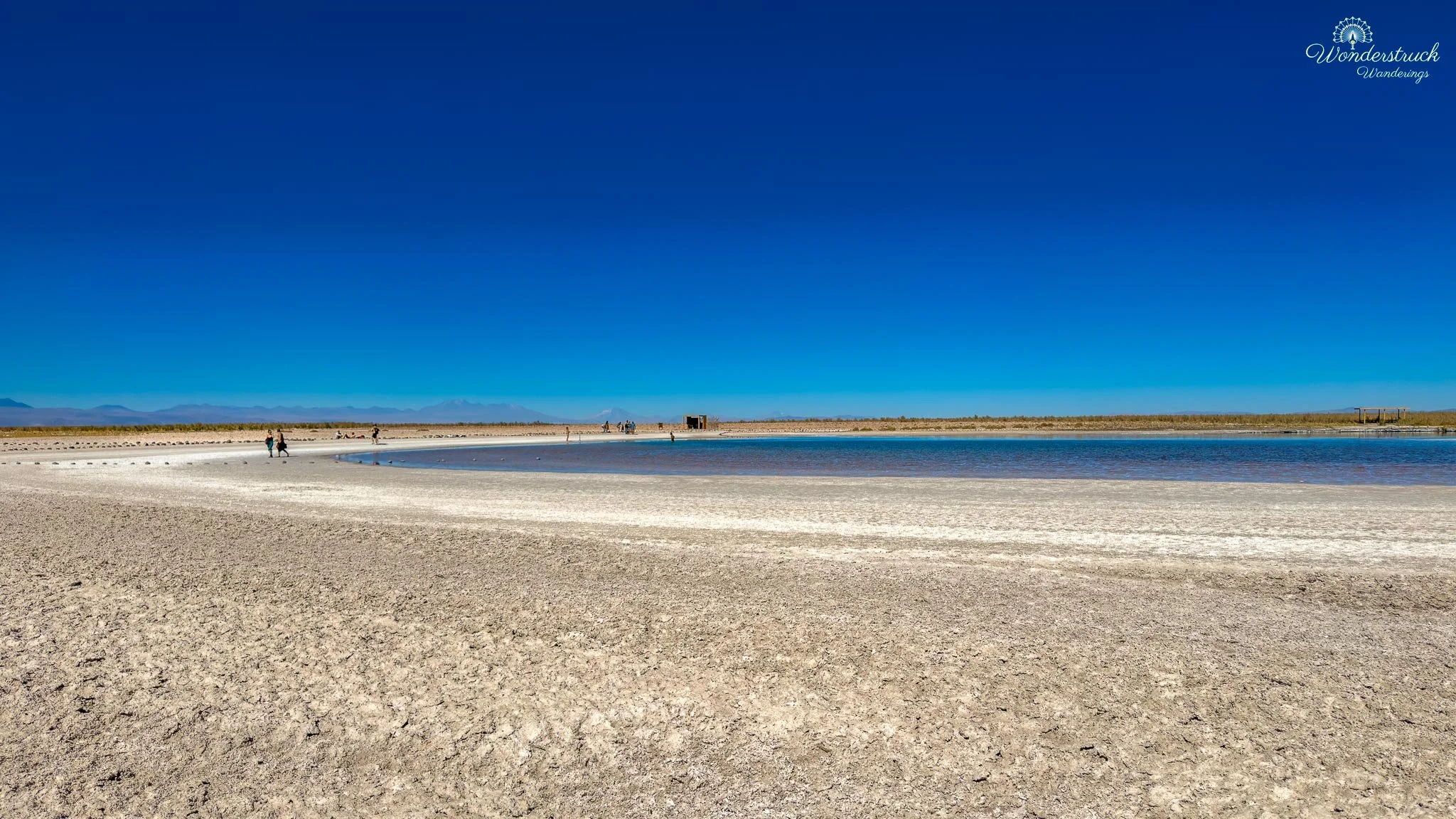
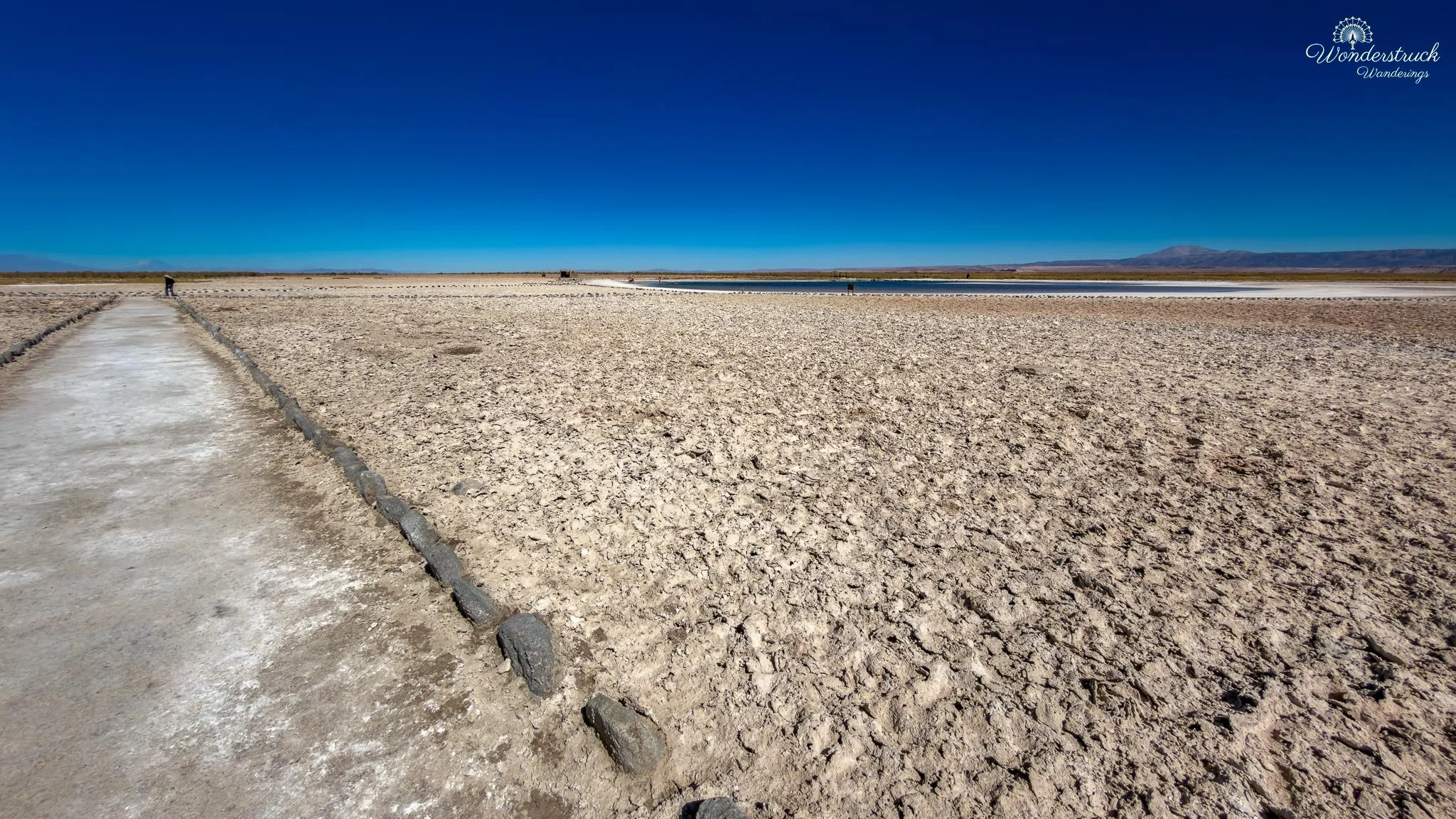
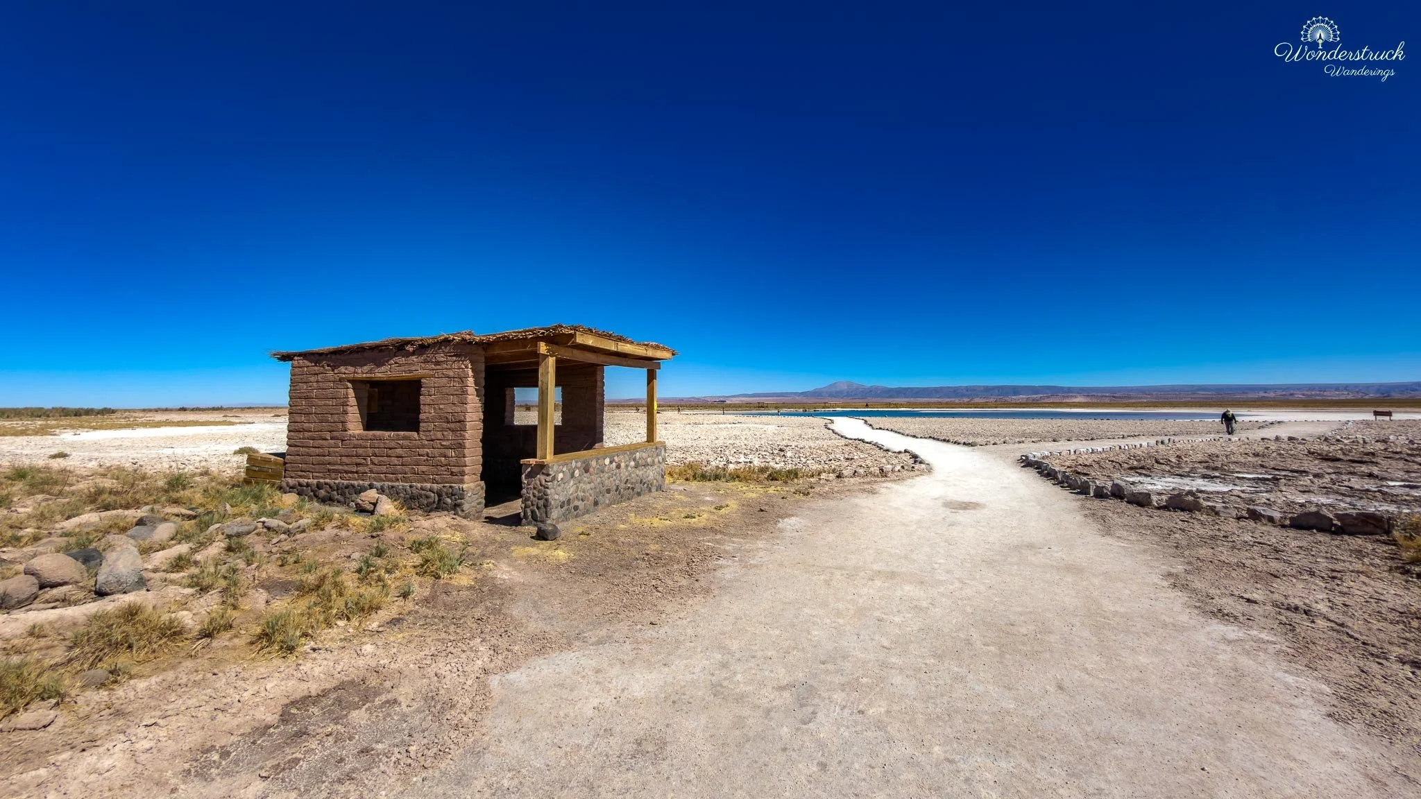
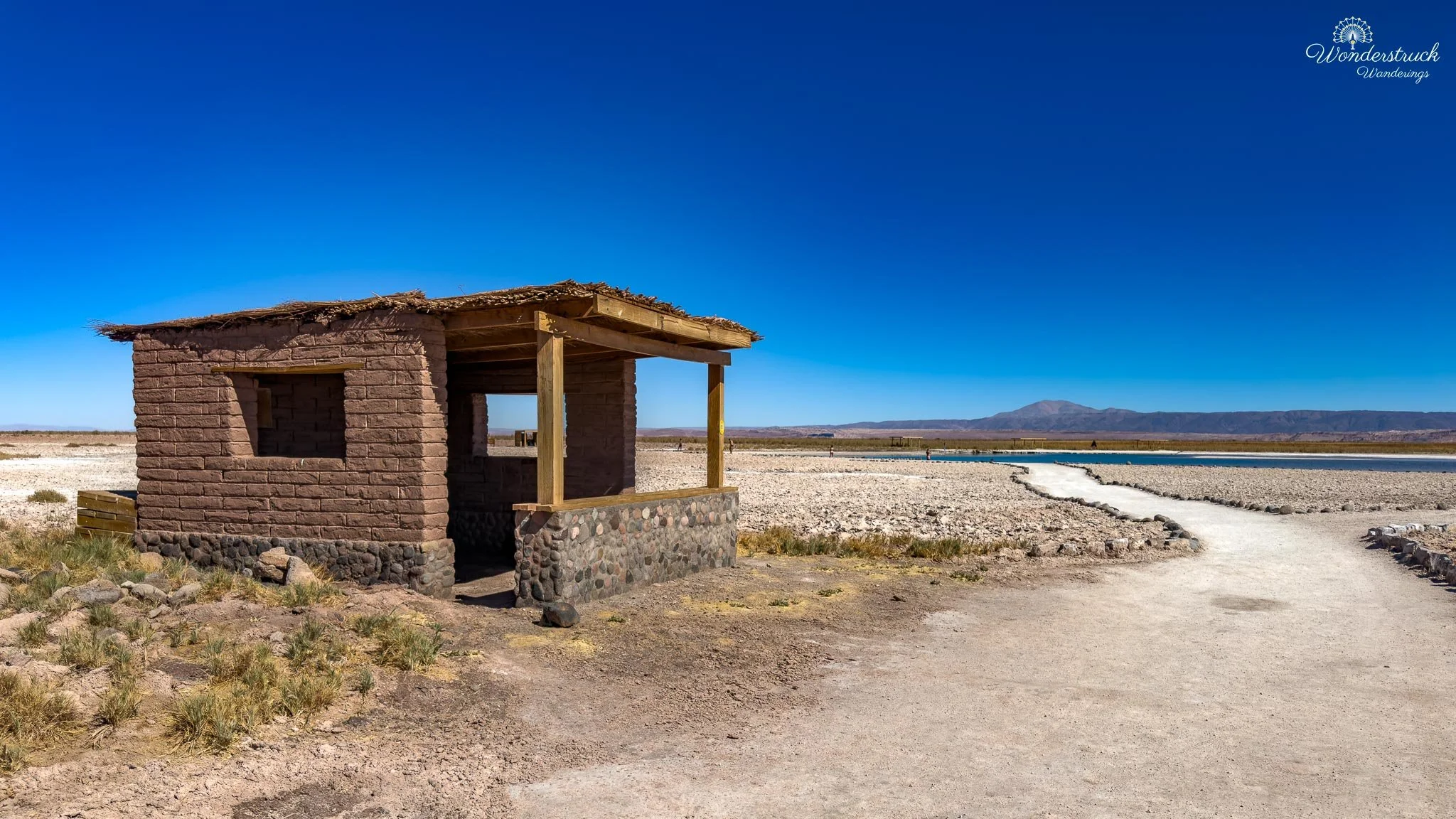
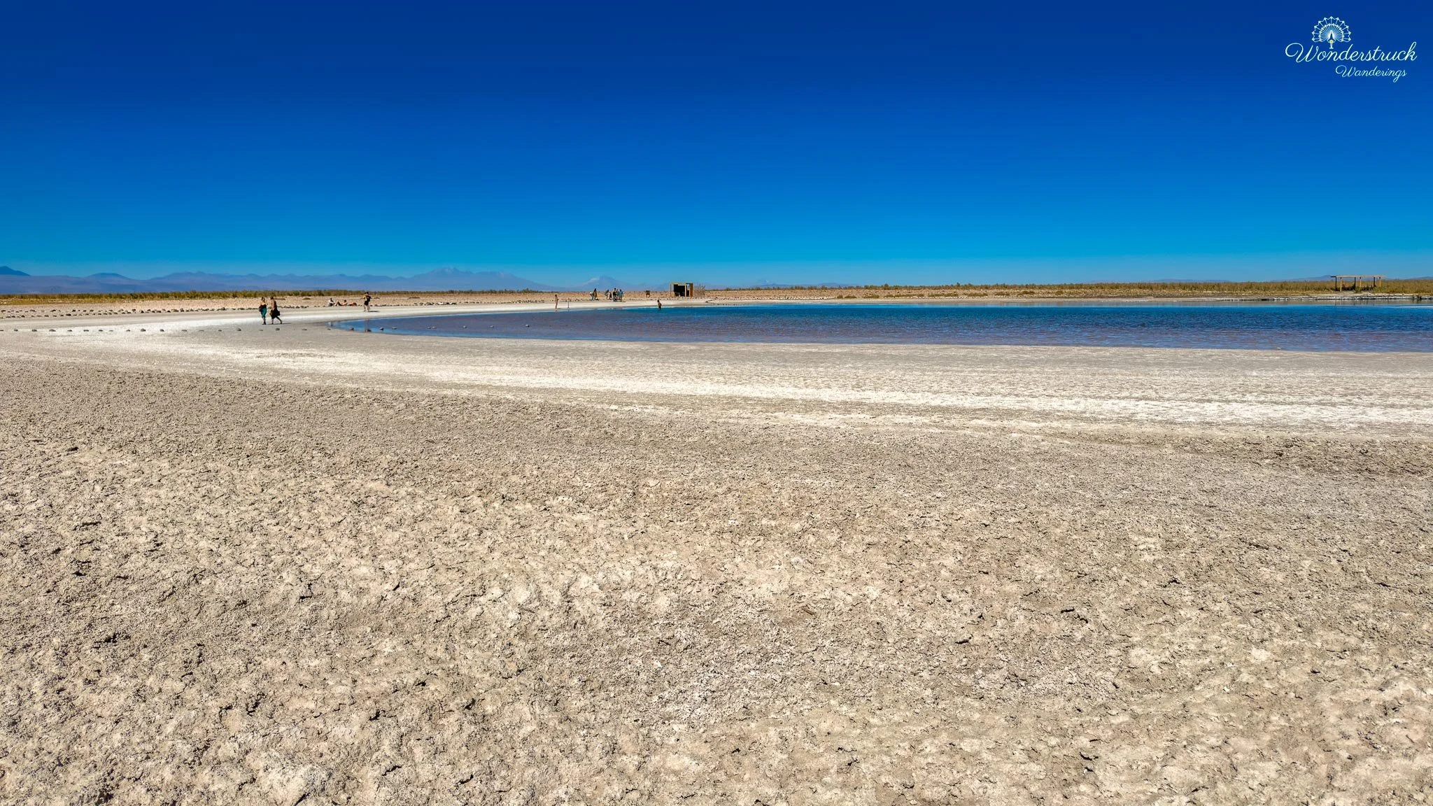
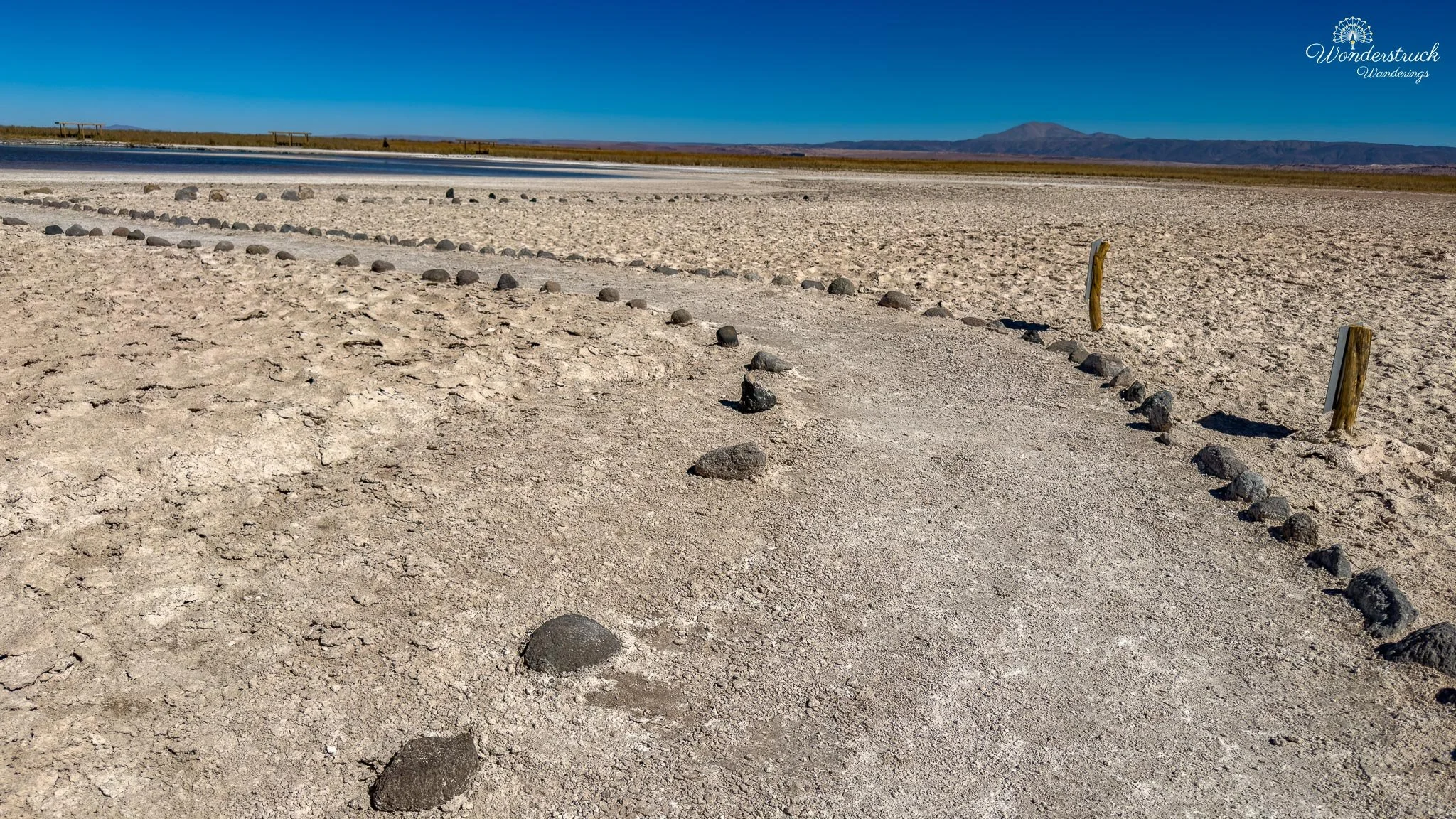
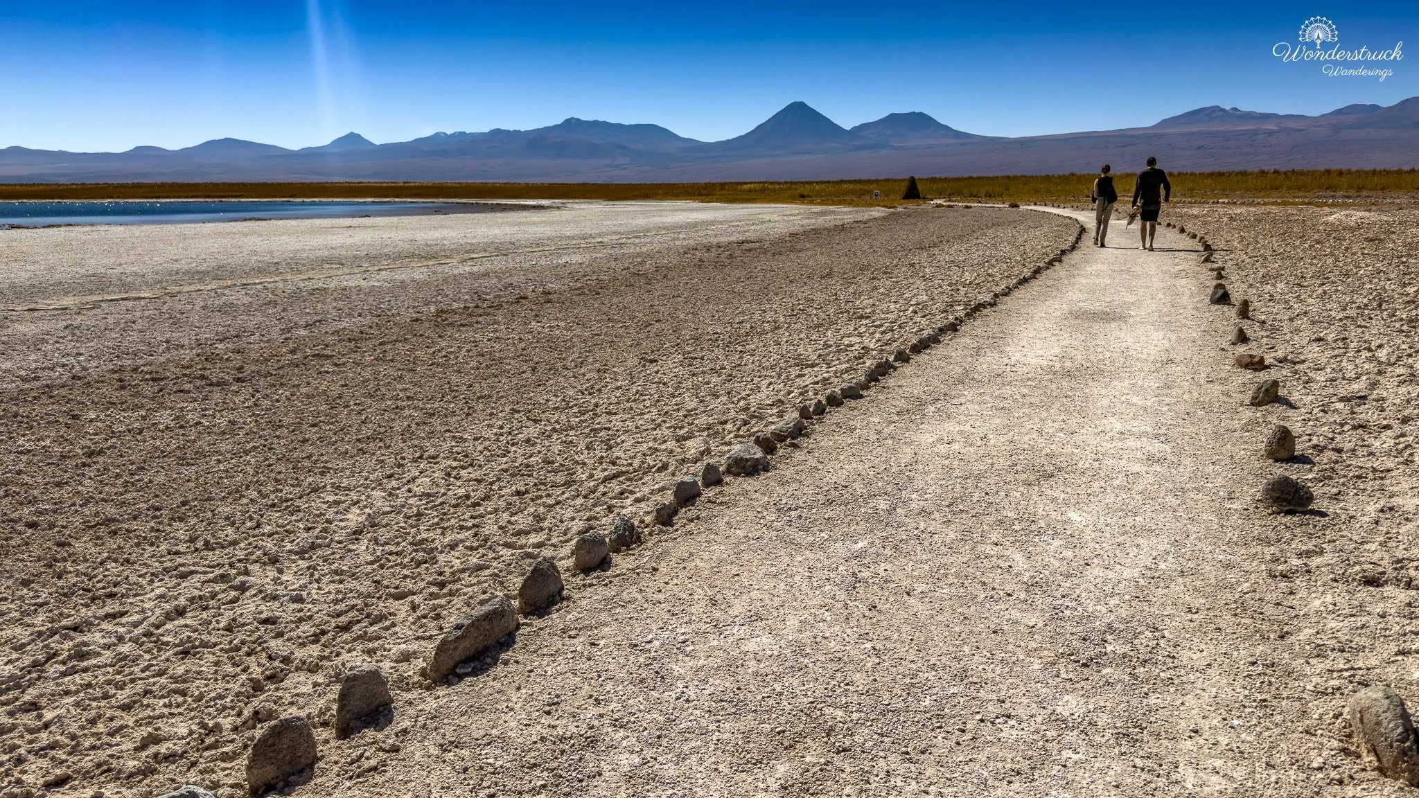
Our first booked activity of the day was Laguna Cejar, with a 10 a.m. entry slot. The site sits inside the Salar de Atacama, roughly 20–22 kilometers from San Pedro de Atacama, so the drive usually takes about 30 to 40 minutes depending on road conditions and how slowly you take the gravel sections. The entry system is fairly strict: tickets need to be purchased online, same-day entry is not something to assume, and the time slot comes with only a short grace period, listed as 15 minutes. We had planned ahead and wore our swimsuits underneath our clothes, which made everything easier once we arrived. Laguna Cejar is often described as a floating lagoon because of its high salinity. The comparison people usually make is to the Dead Sea: the water is so salty that your body rises without effort. The visitor route is a small lagoon circuit through the salt flat, but swimming is allowed only in Laguna Piedra. The first lagoon on the walk is Laguna Cejar itself, which is mainly for viewing, photography, walking, and birding. Once we checked in, we followed the marked path toward Laguna Cejar. The scene was immediately different from Valle de la Luna. Instead of sculpted rock walls and dry ridges, this was a salt-flat landscape of pale crust, shallow blue water, distant volcanoes, and sharp Atacama brightness. The lagoon edges were rimmed with white salt formations, and the water had that intense blue tone that makes the whole place feel slightly unreal. Far out on the water, we saw our first Chilean Flamingos of the day. They were not close, but even at a distance they changed the mood of the place. Against the white salt, blue water, and dry volcanic backdrop, they looked almost too perfectly placed, like the Atacama had added one soft detail to an otherwise severe scene.
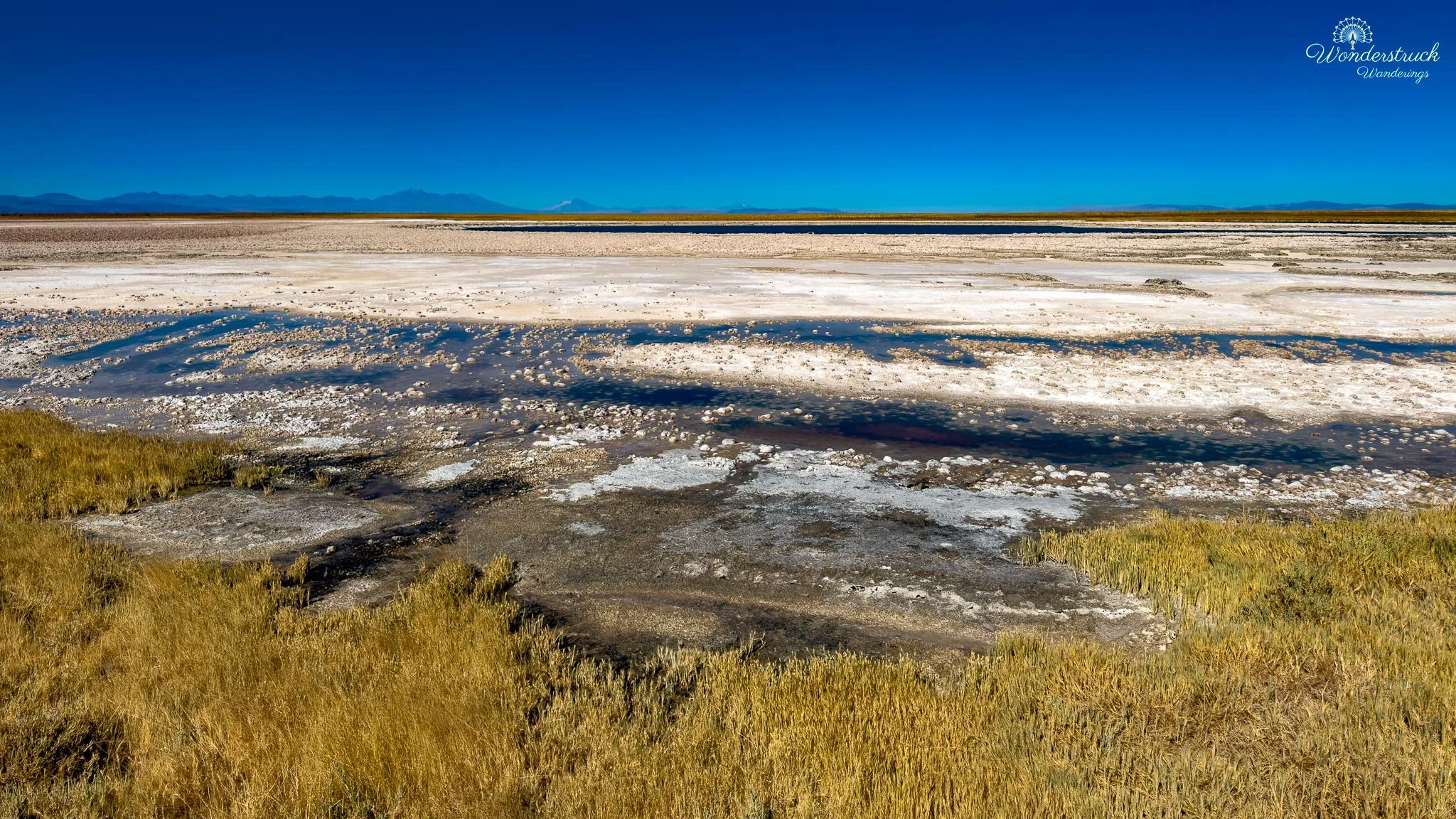
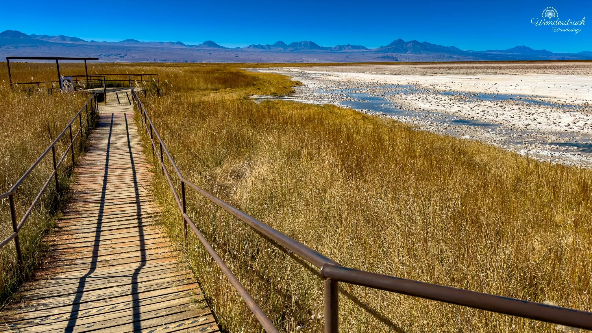
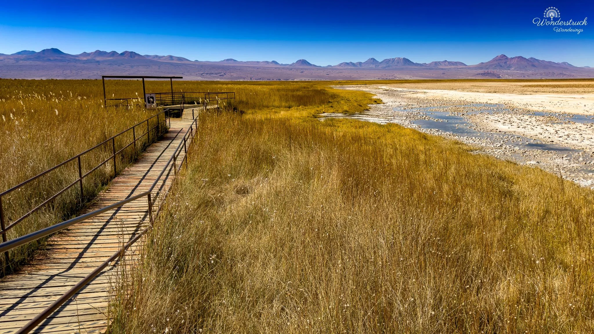
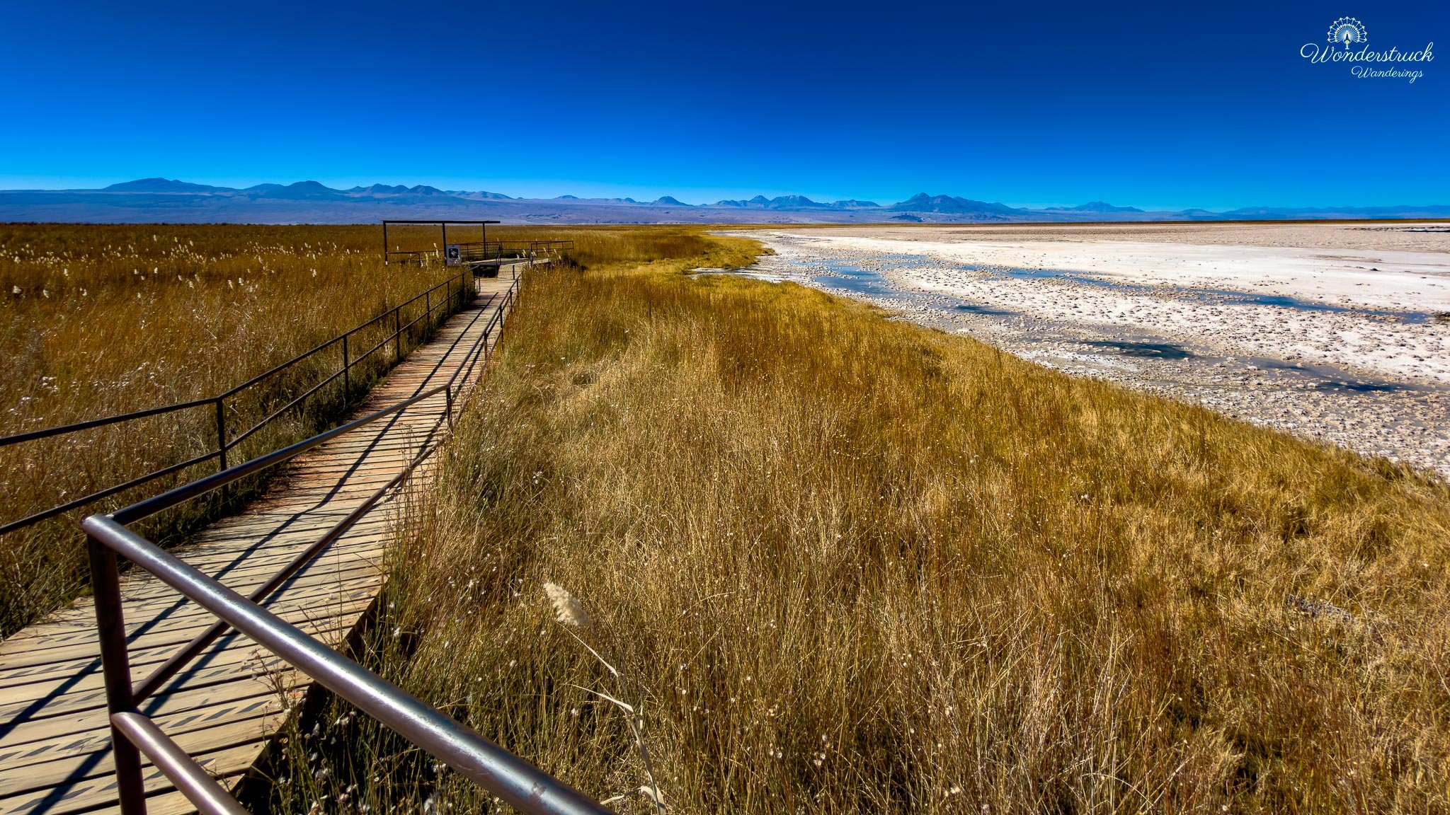
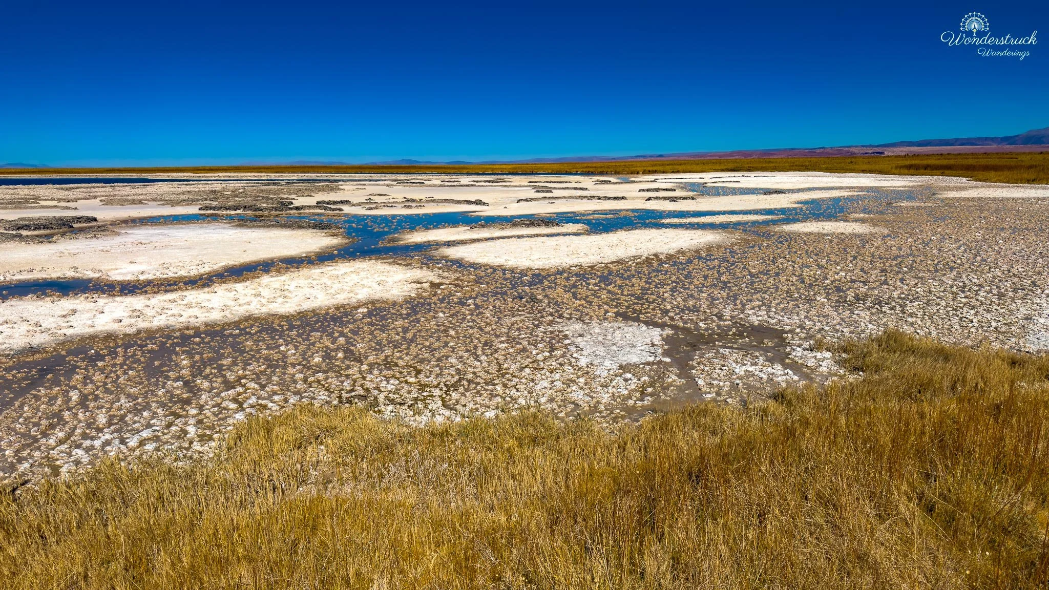
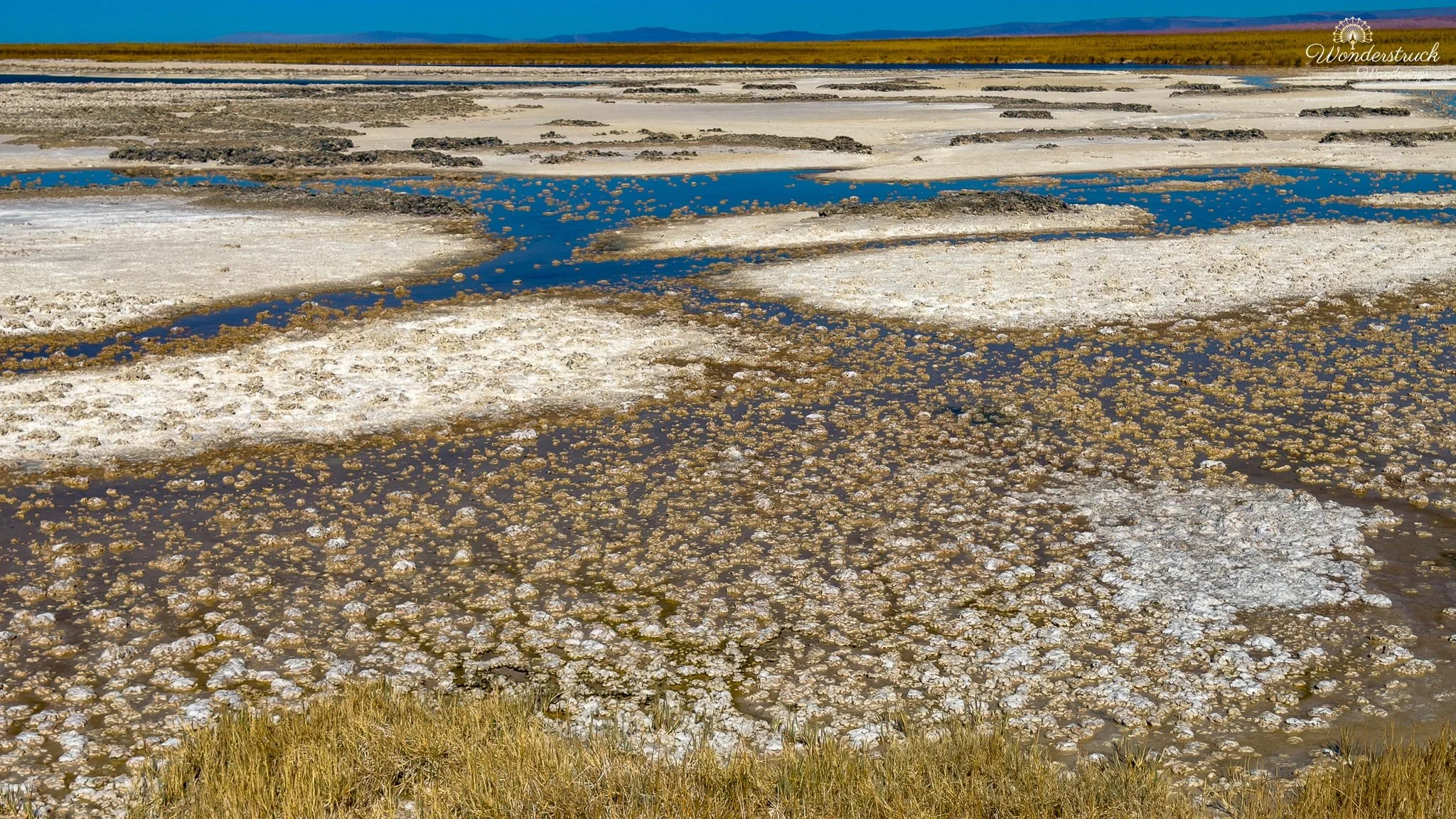
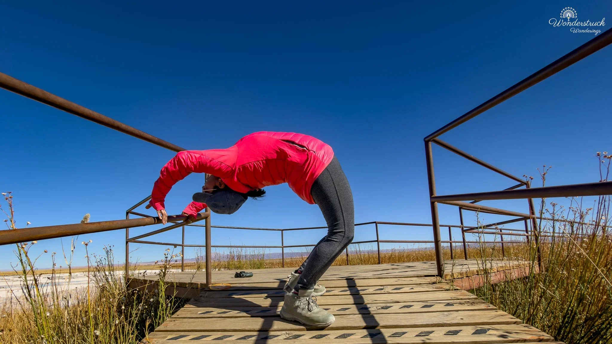
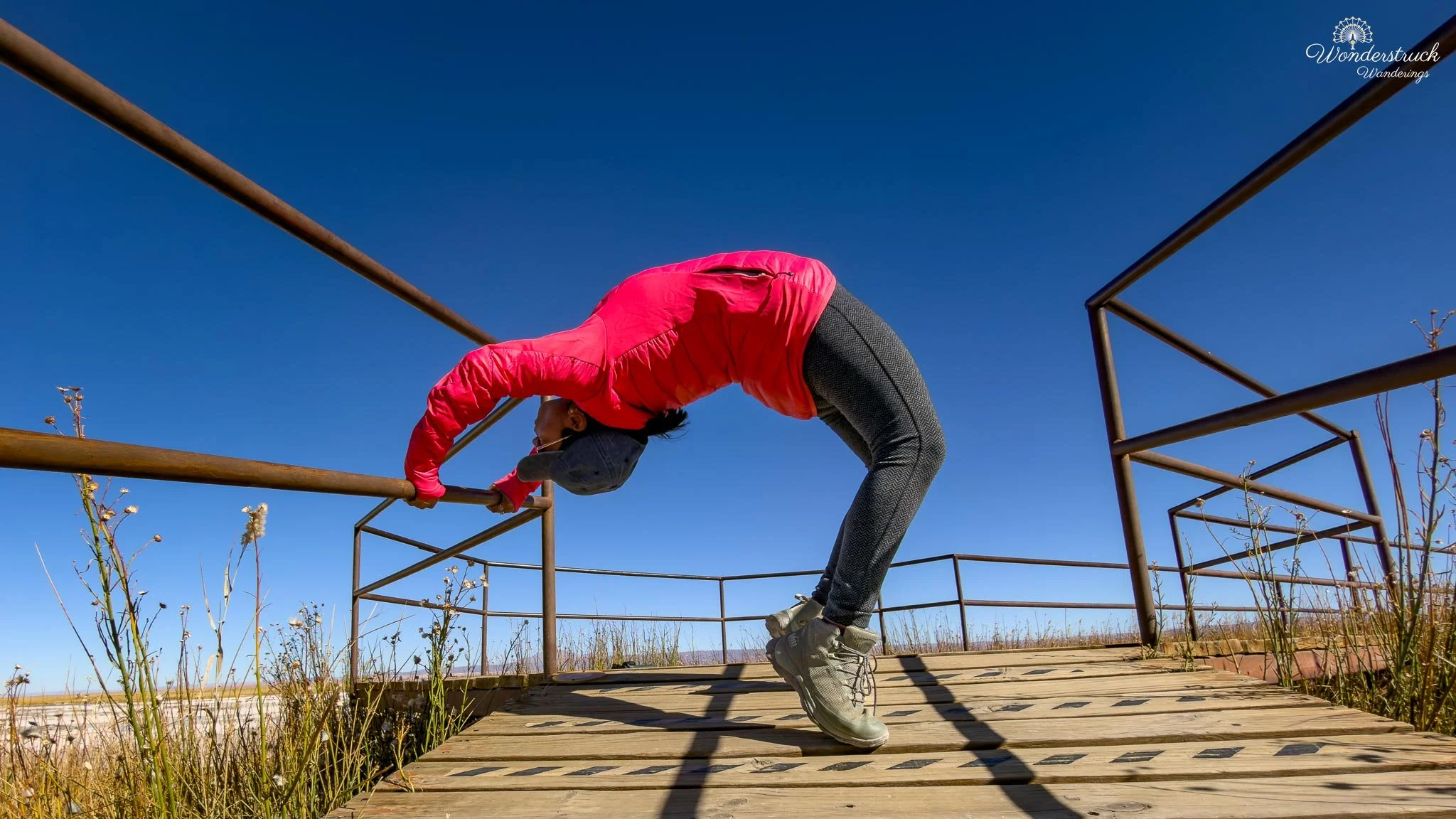
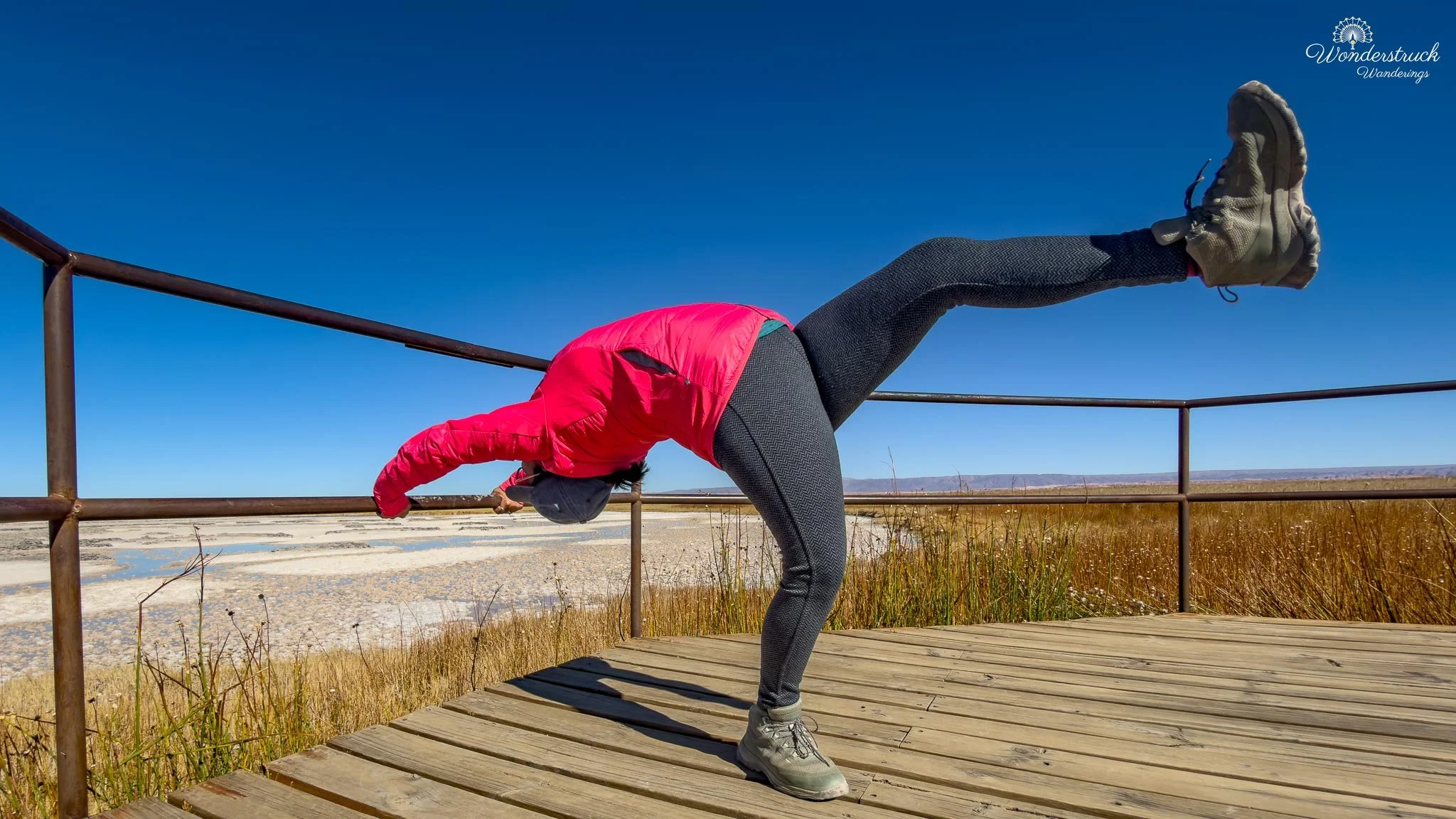
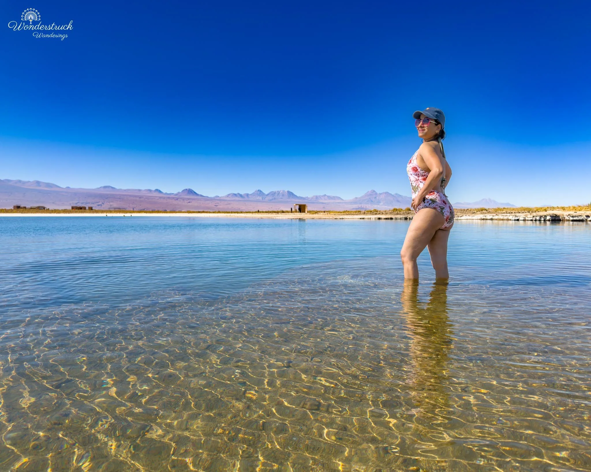
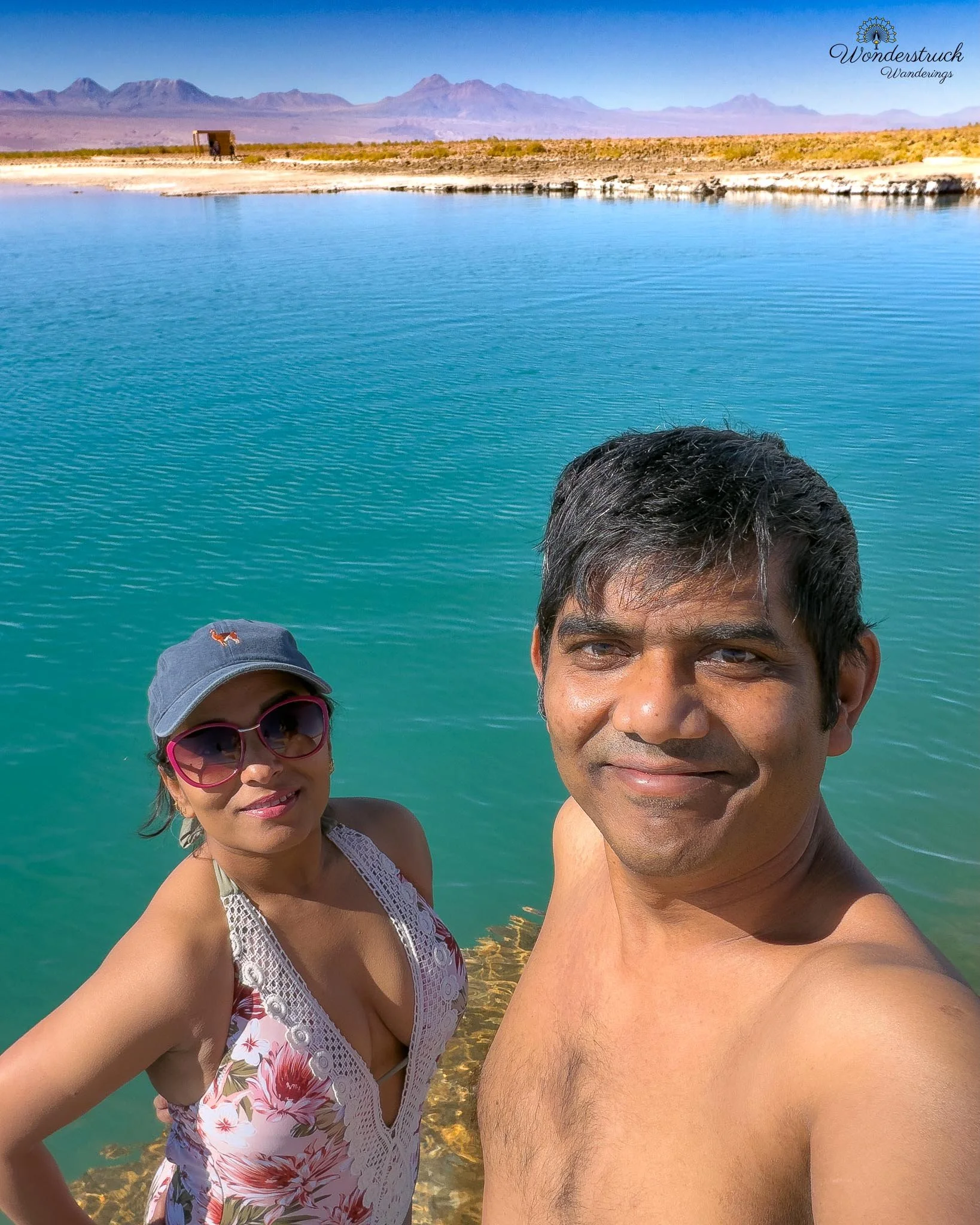
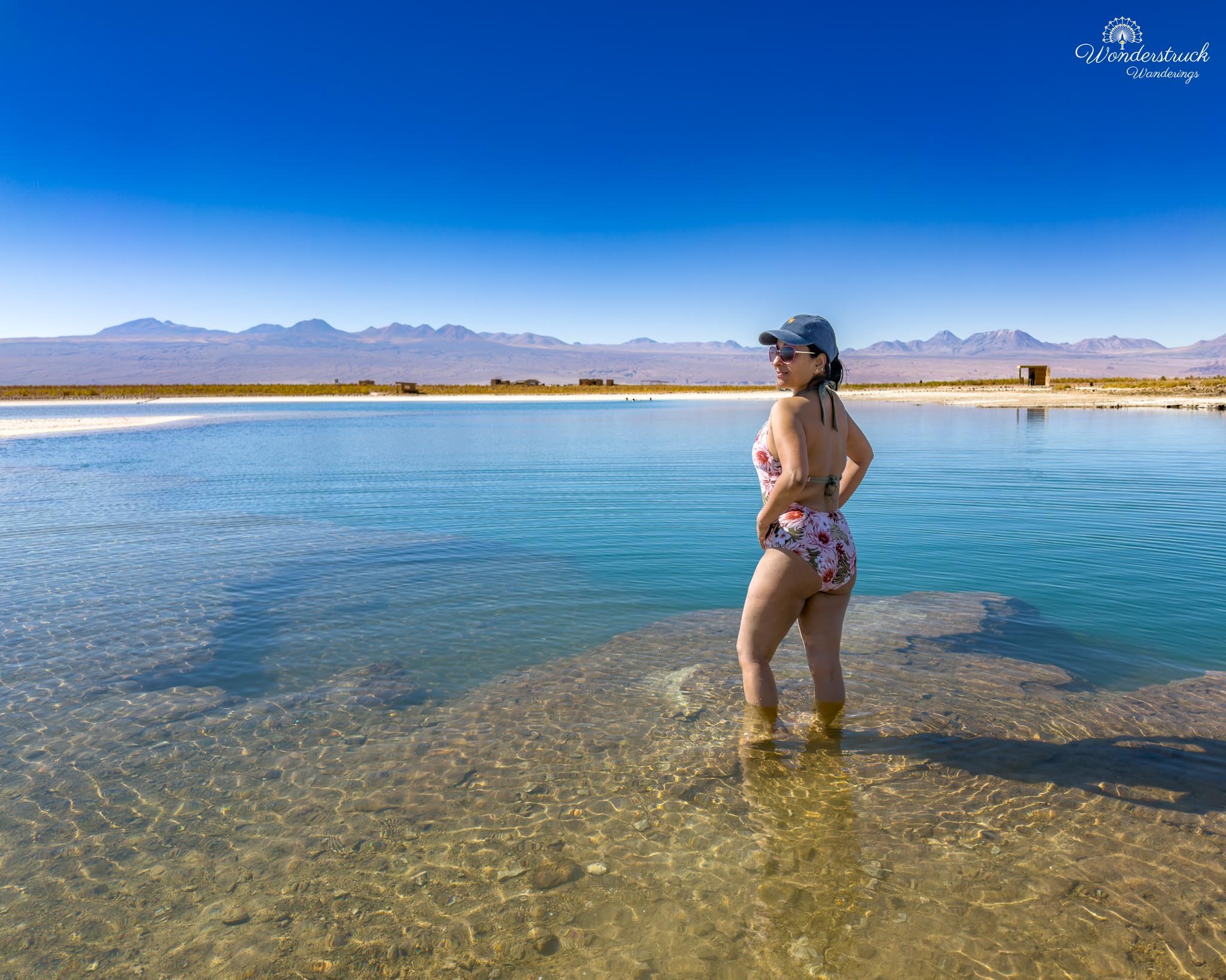
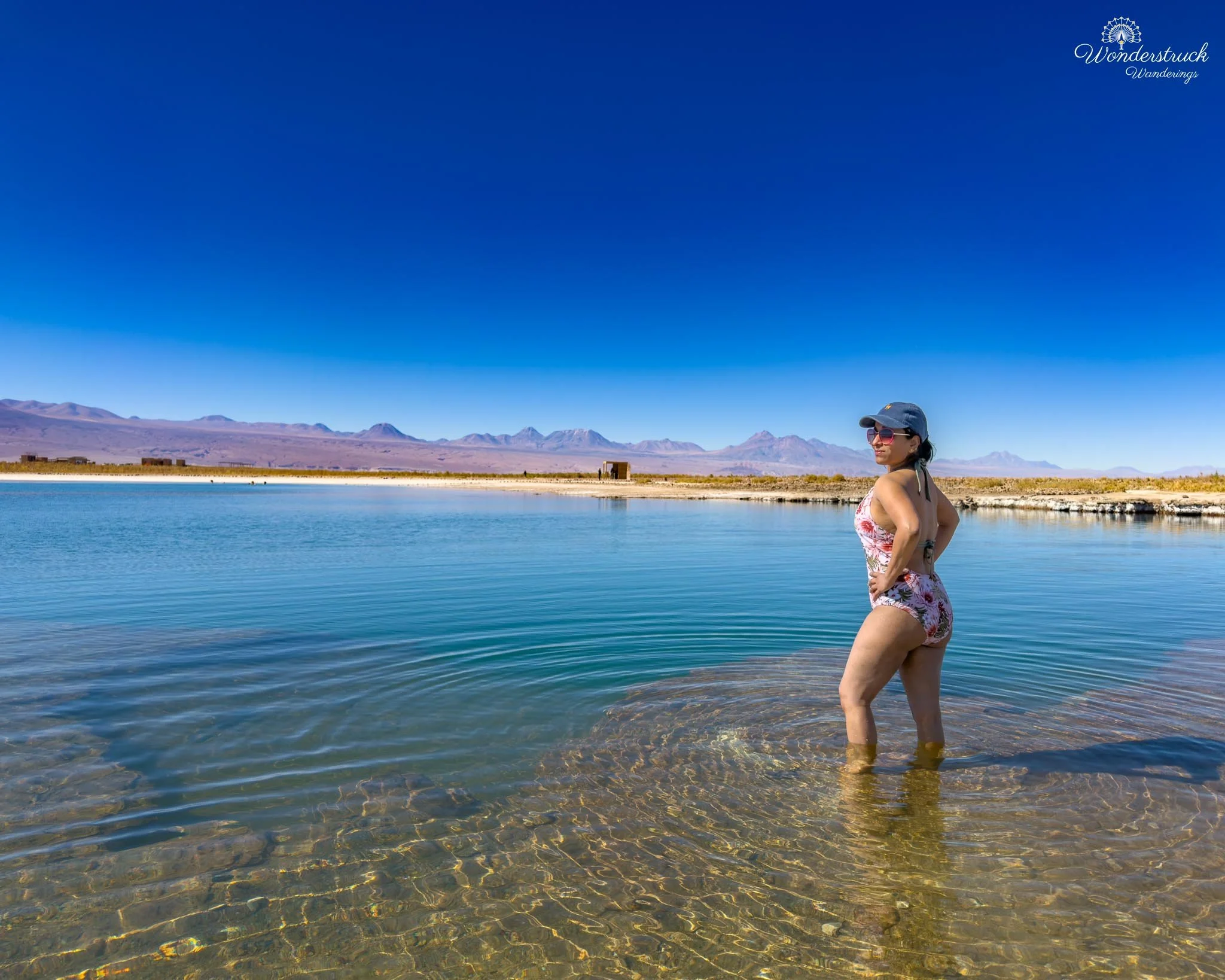
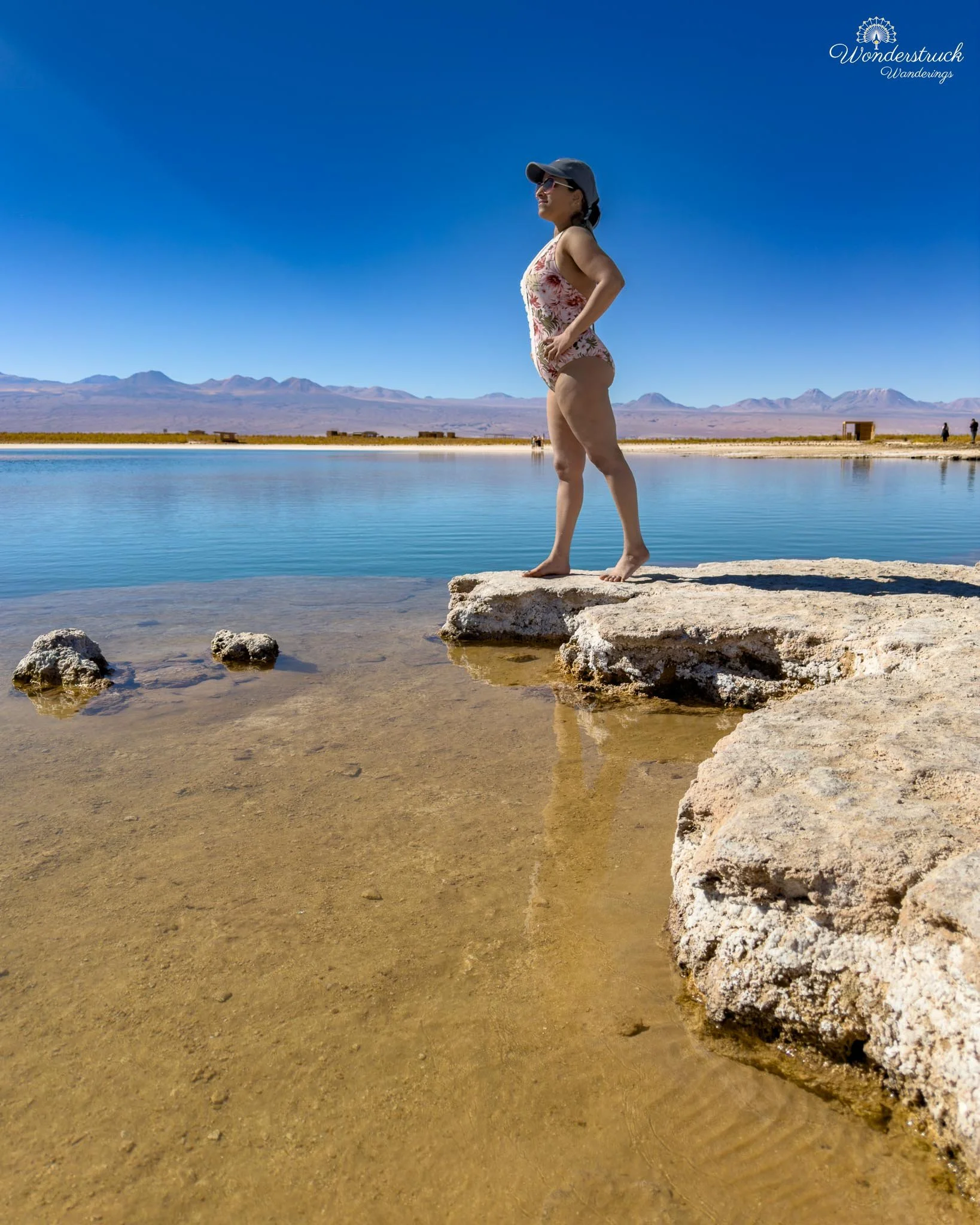
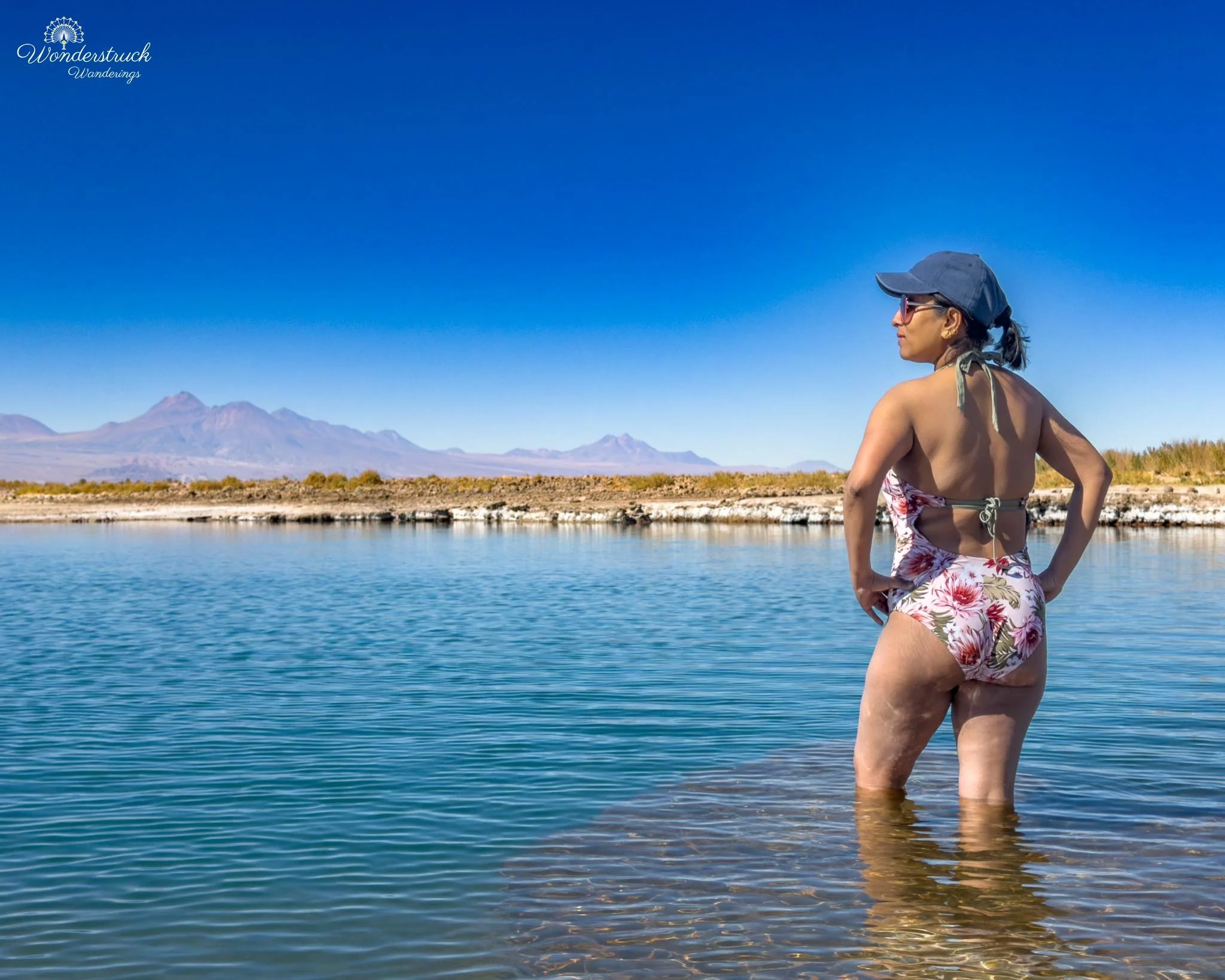
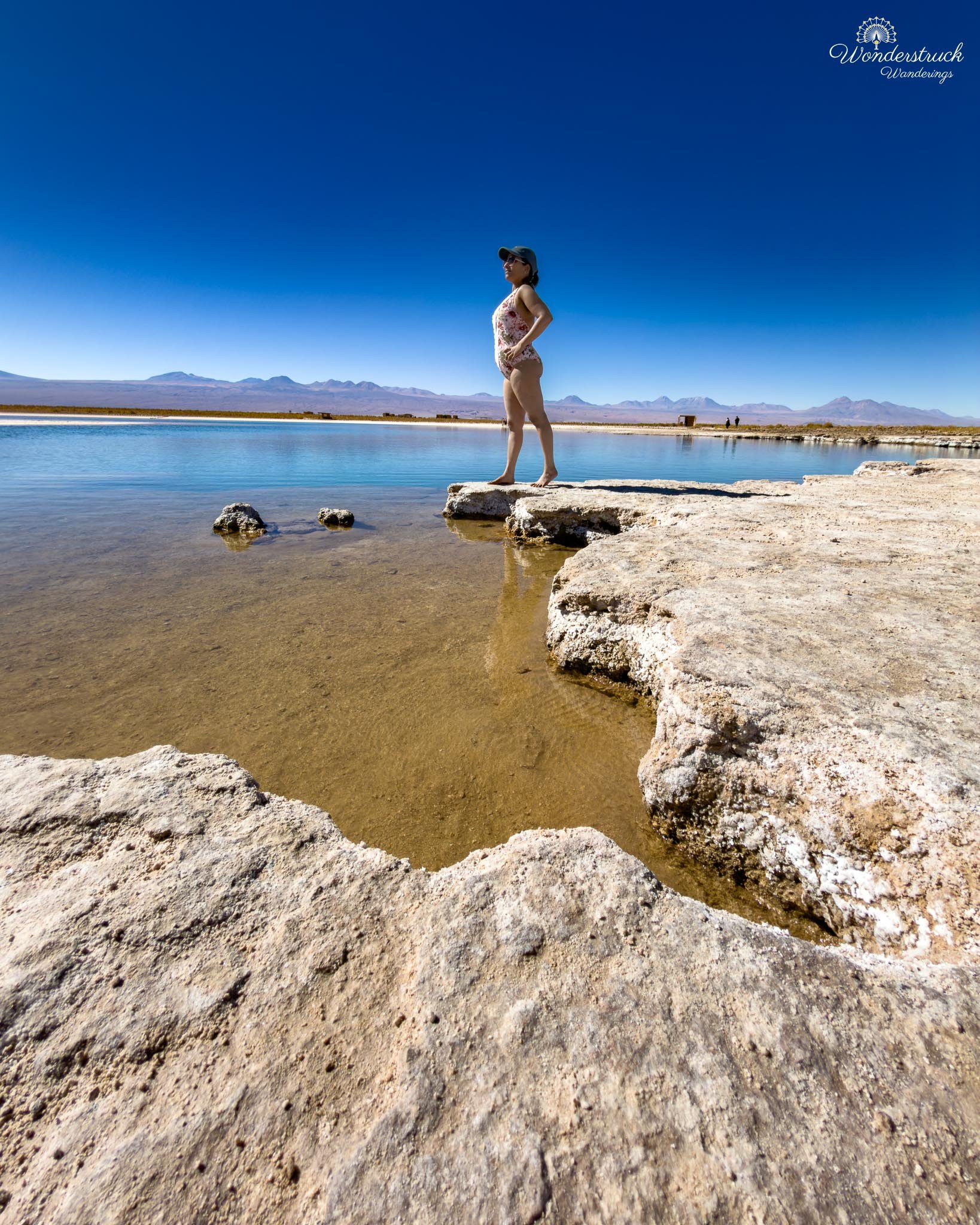
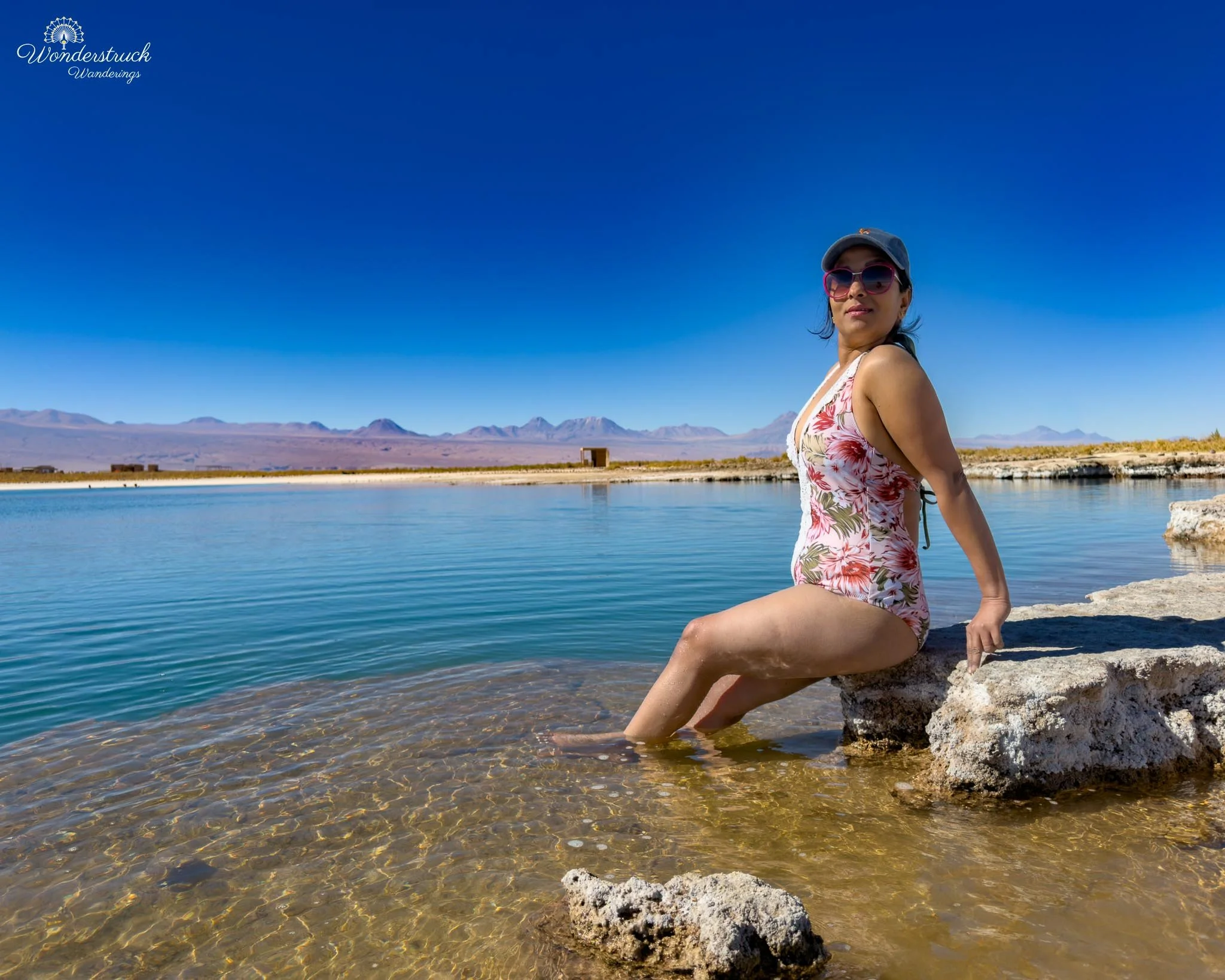
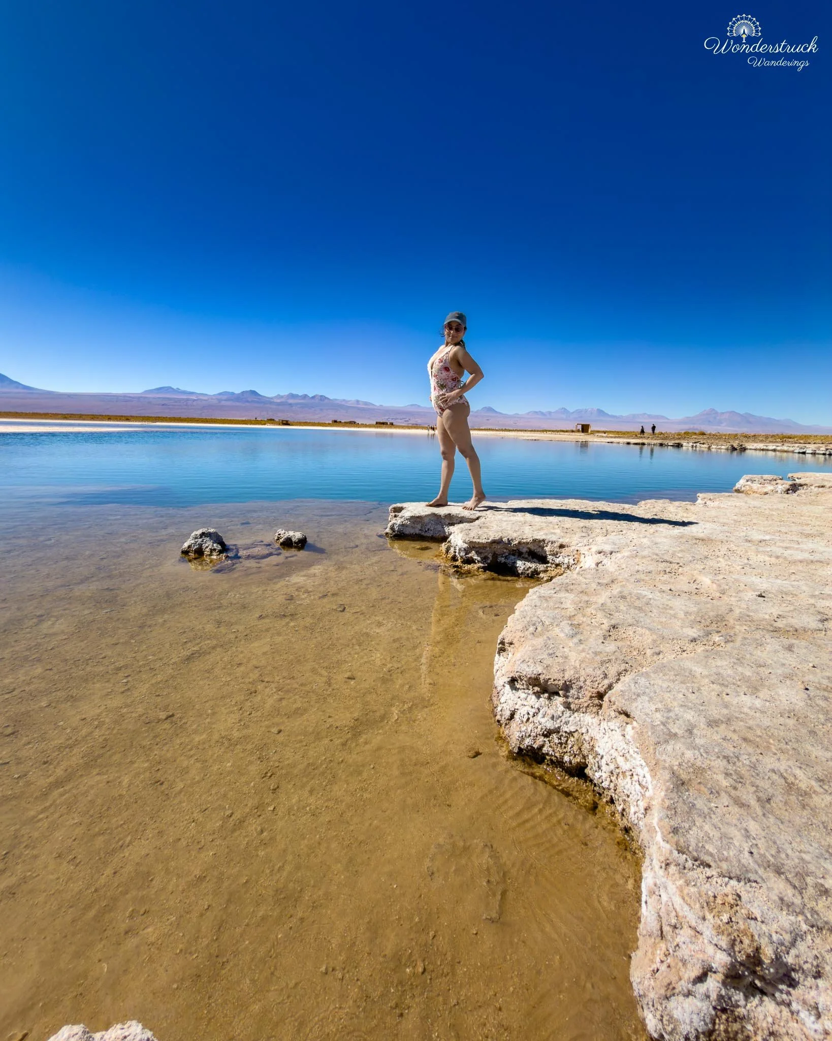
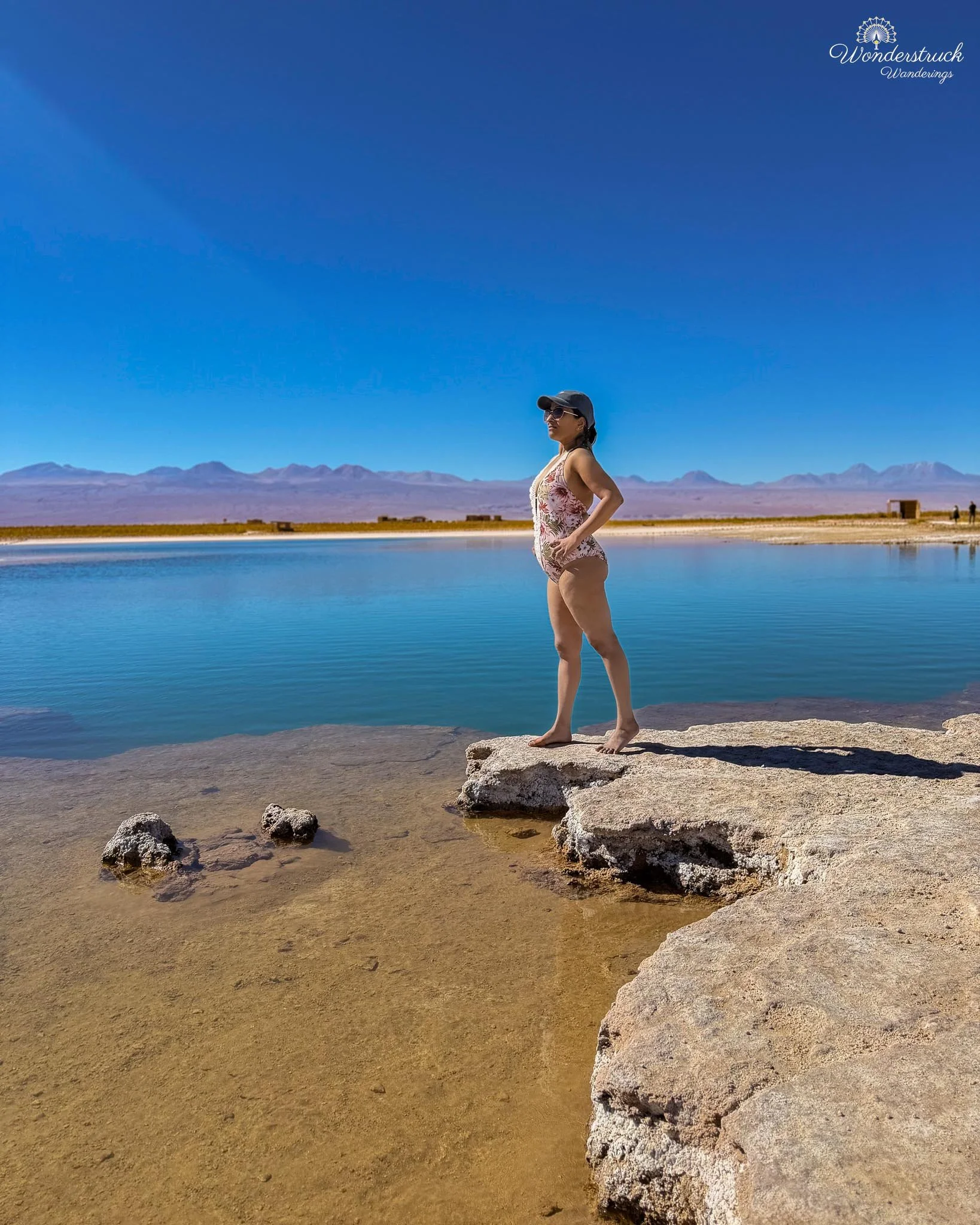
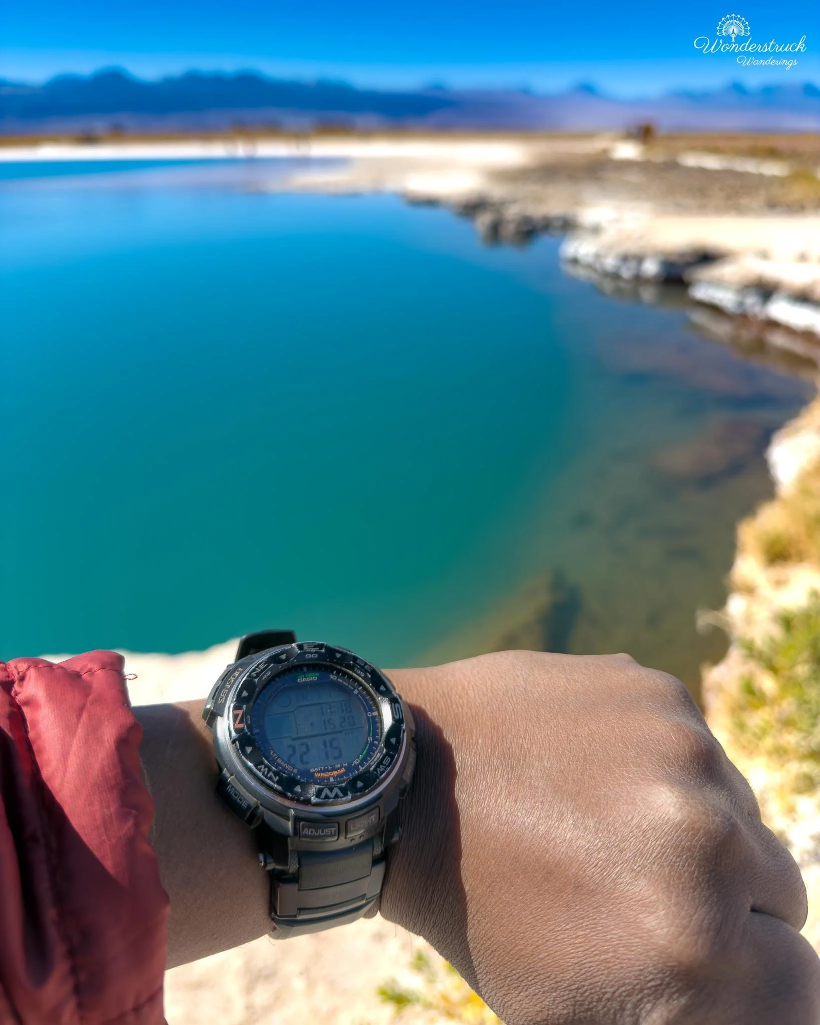
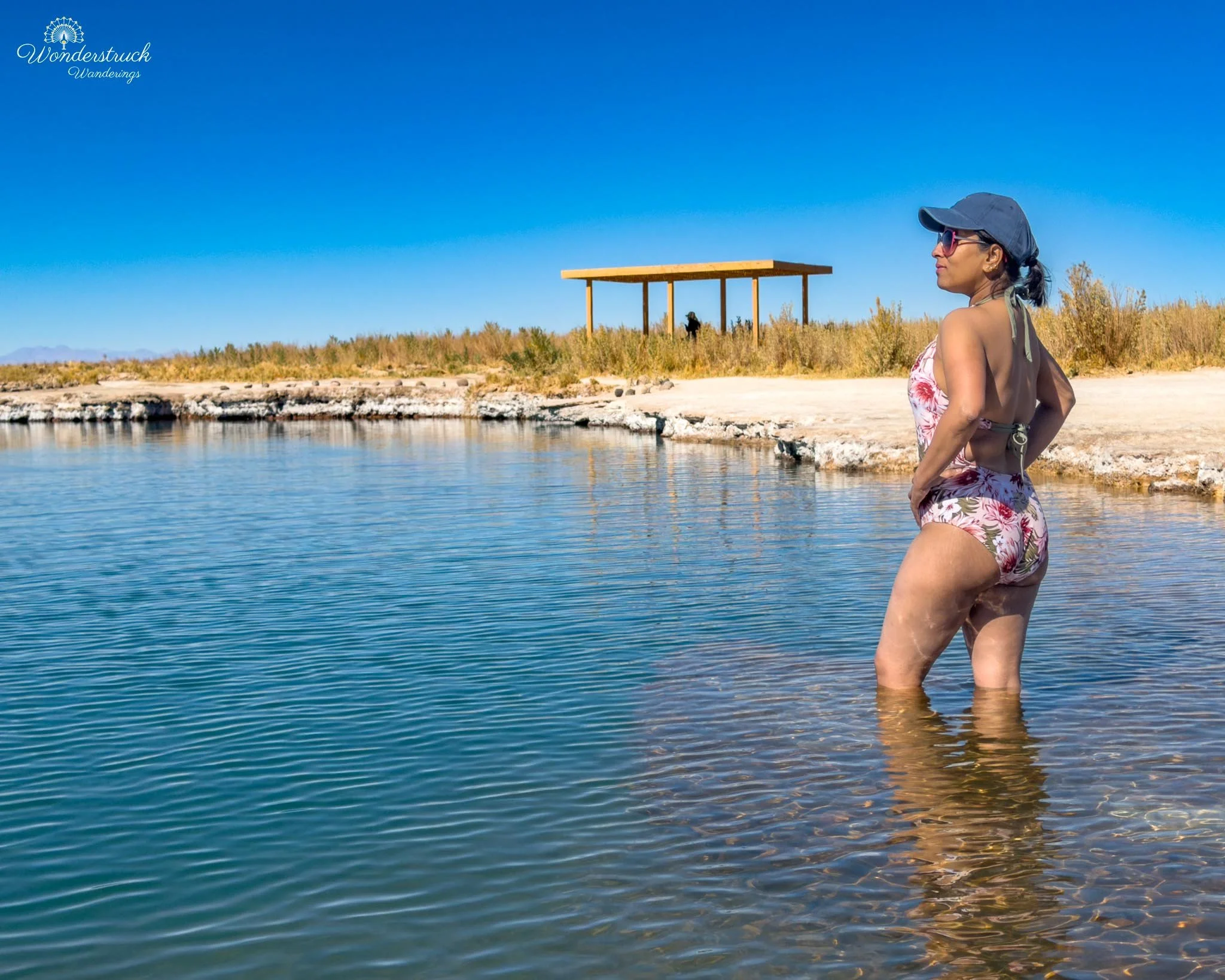
After walking around Laguna Cejar, we continued to Laguna Piedra, the swimming lagoon. Before we entered, an attendant reminded us to limit our time in the water to about 20 minutes because of the extreme salt concentration. The salt dries the skin quickly, and combined with the Atacama sun and arid air, it can dehydrate you faster than expected. There are showers and changing facilities at the site, but since we were already wearing swimsuits, we could move through the process easily. Because it was not crowded, we chose a quieter section on the left side of Laguna Piedra, away from most visitors, and stepped into the water. Cold is the important word here. The floating experience was fun and completely unique, but the first contact with the water was a shock. Once we settled in, though, it became one of those strange Atacama experiences that feels both playful and surreal. You do not really swim in Laguna Piedra in the normal sense. The salinity does the work for you. Your body rises without effort, and suddenly you are floating inside a bright salt lagoon, ringed by white crust, under an empty desert sky, with volcanoes and open space in every direction. After about the recommended time, we came out, and the salt began drying almost immediately. It formed a rough white crust on my legs, and our swimsuits started drying stiff in that very specific post-salt-lagoon way. It was funny at first, then uncomfortable, then funny again. We dried off as best we could, rinsed where possible, and shifted back into birding mode. That was when a Puna Plover came surprisingly close, turning the area around Laguna Piedra into one of the best bird moments of the morning. It was small and subtle against the salt-flat edge, but in that stark white-and-blue landscape, it stood out once Shay had it in view. Above the lagoon area, a Variable Hawk was also moving through, scanning the open ground and adding a completely different energy to the scene. The flamingos had given Laguna Cejar its elegance; the plover and hawk made the swimming area feel alive in a more immediate way.
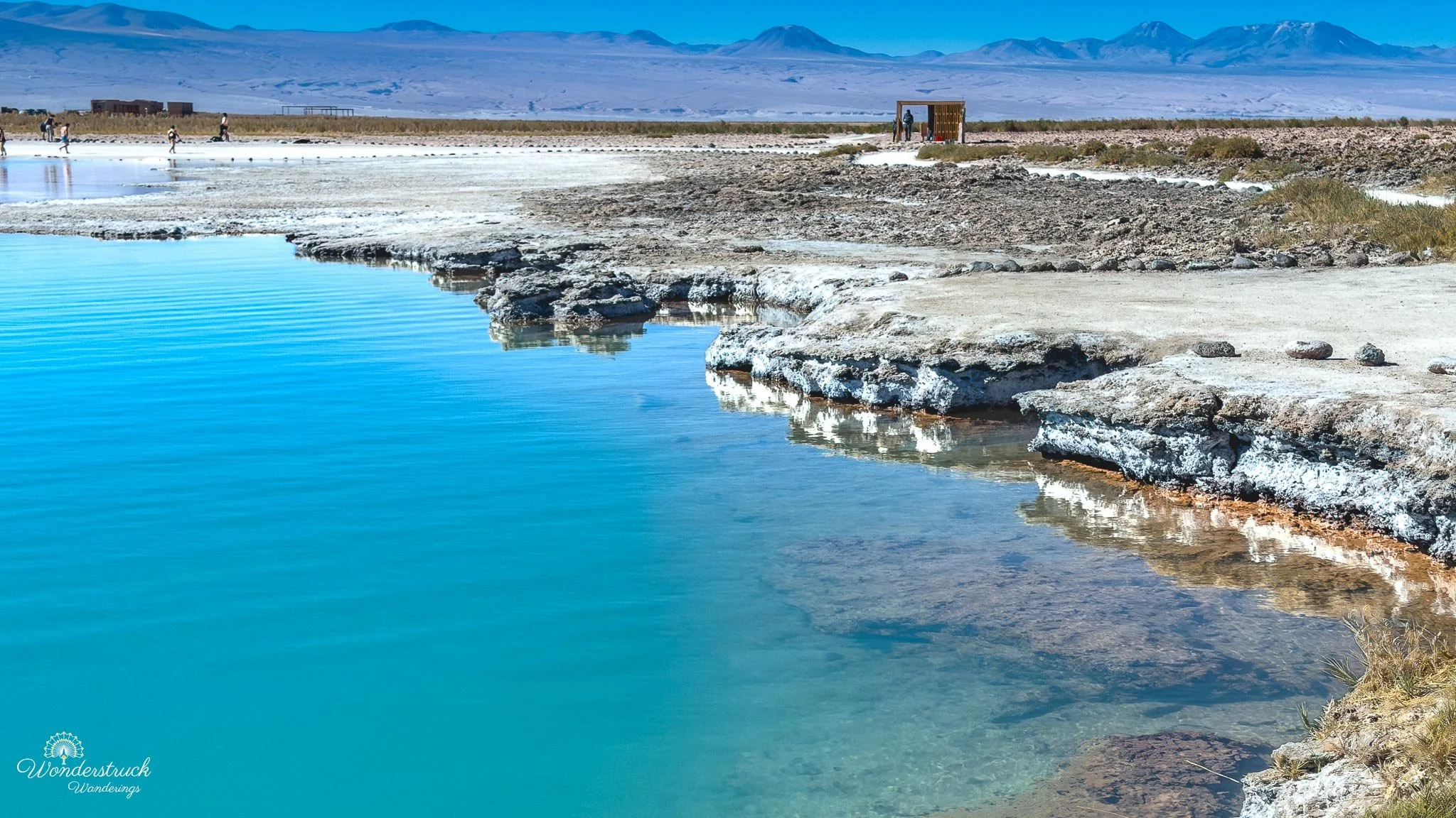
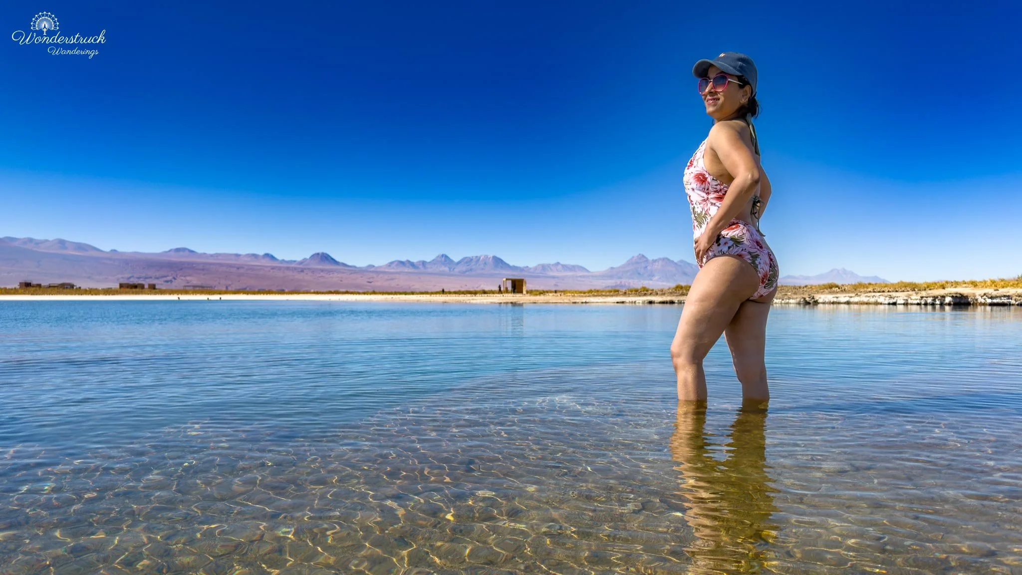
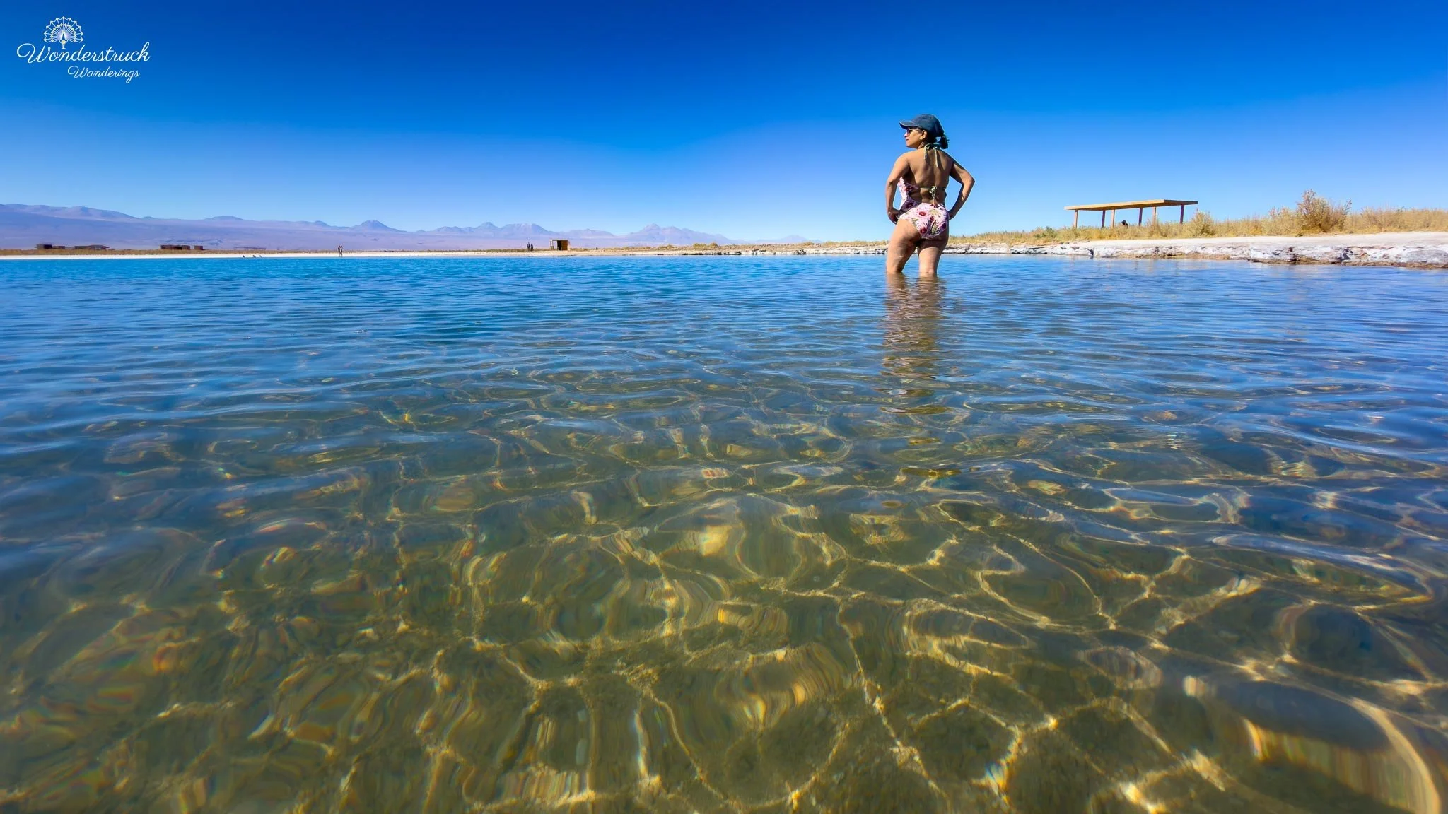
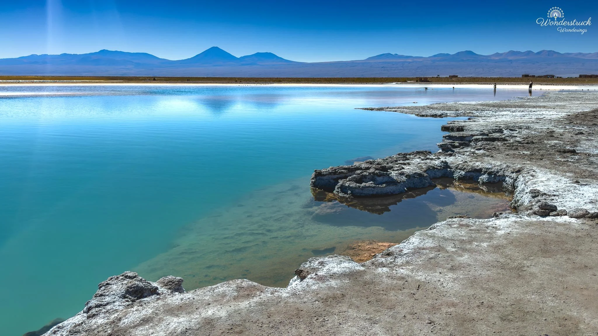
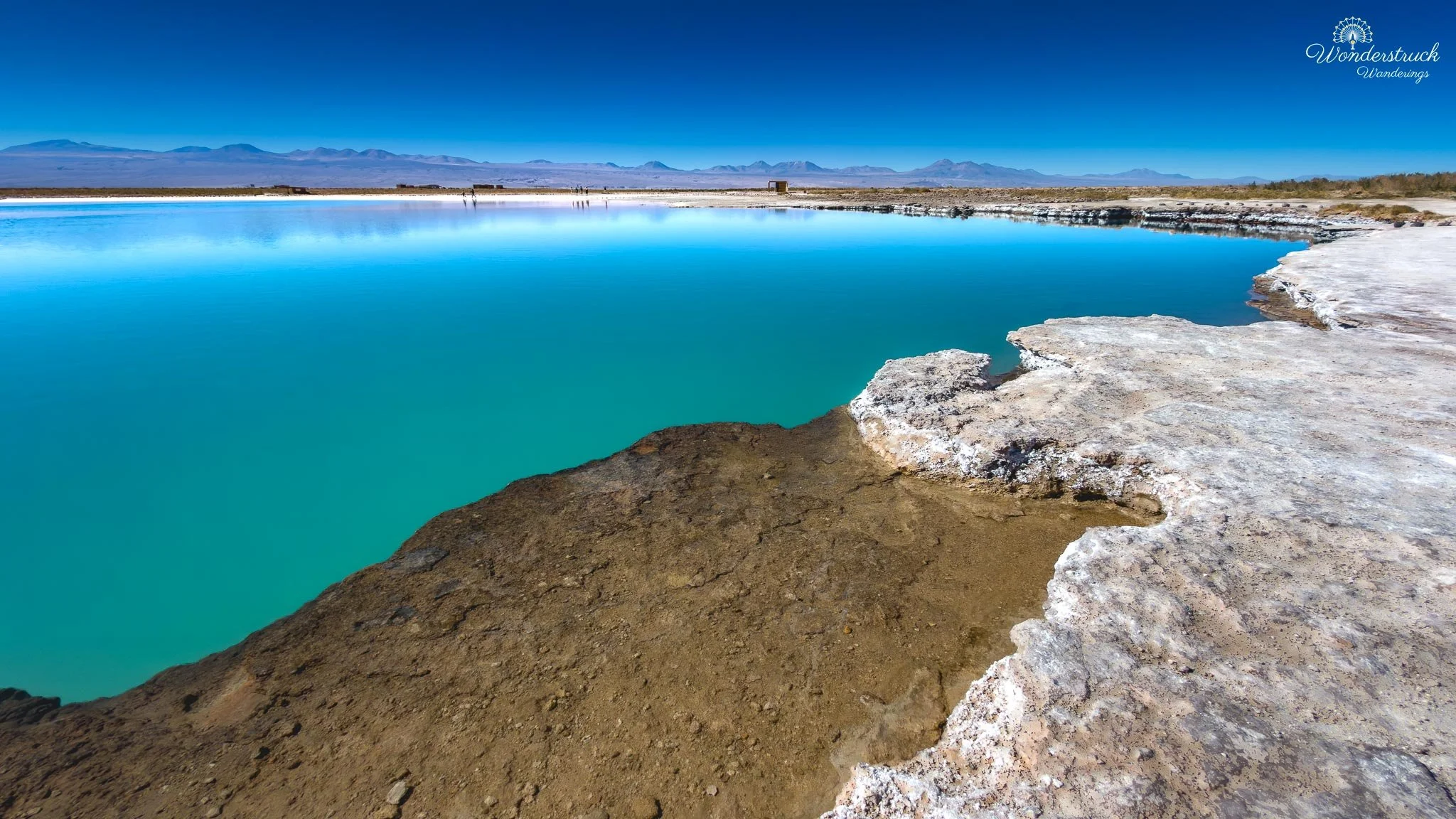
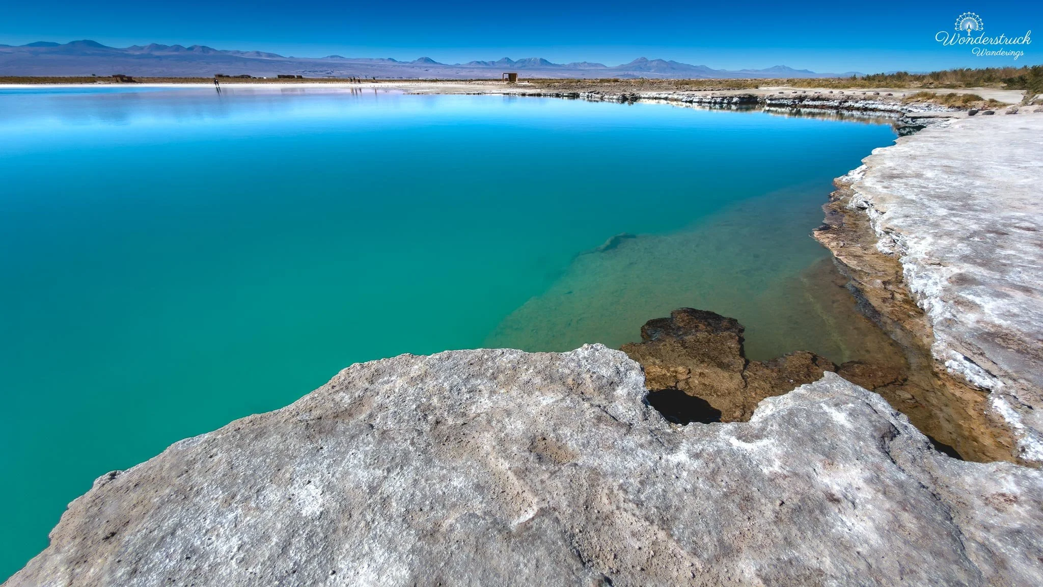
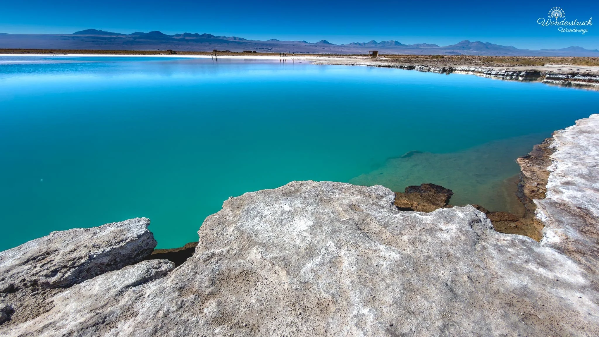
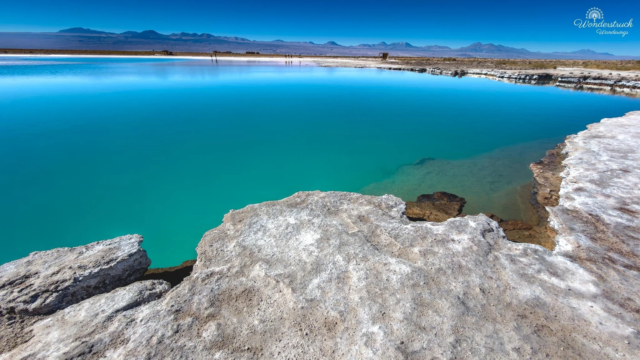
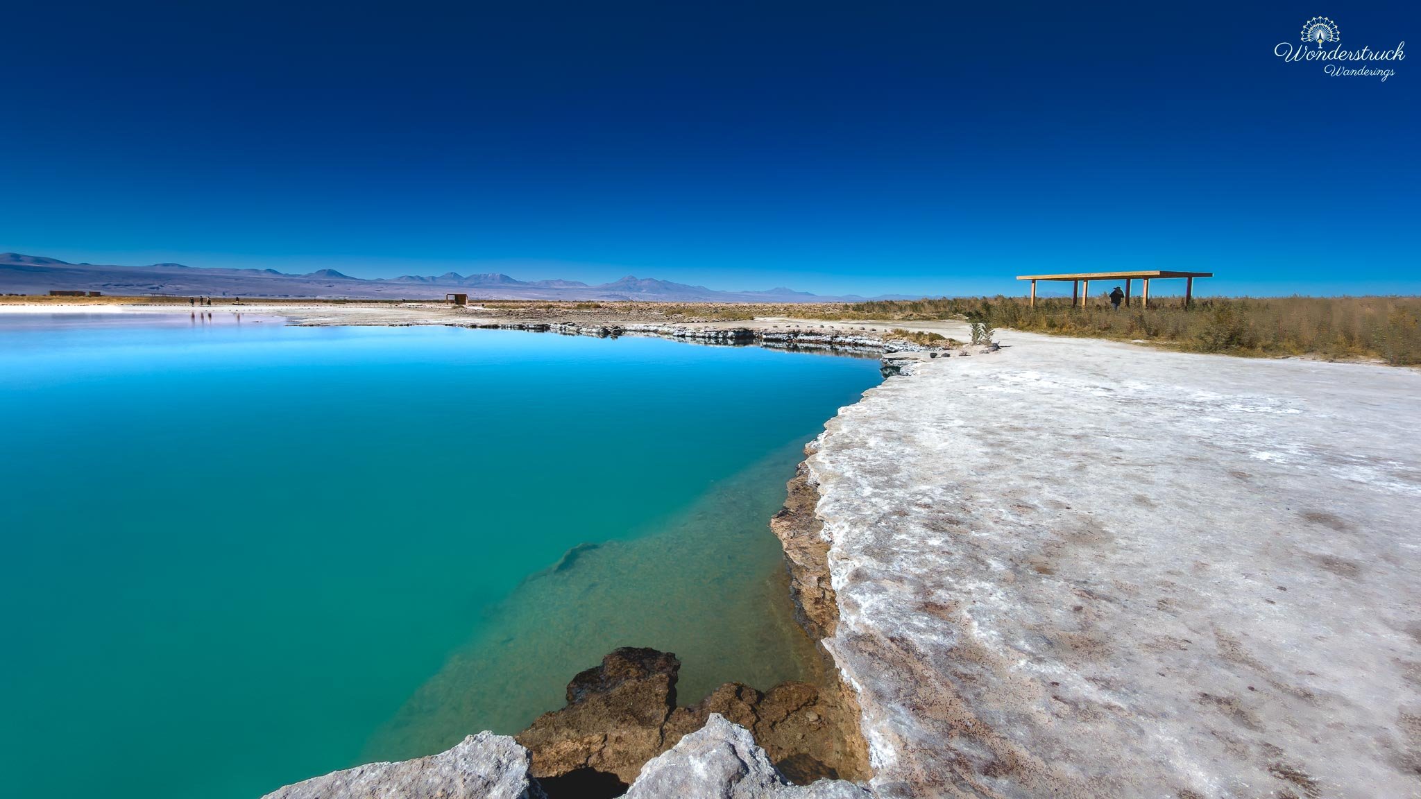
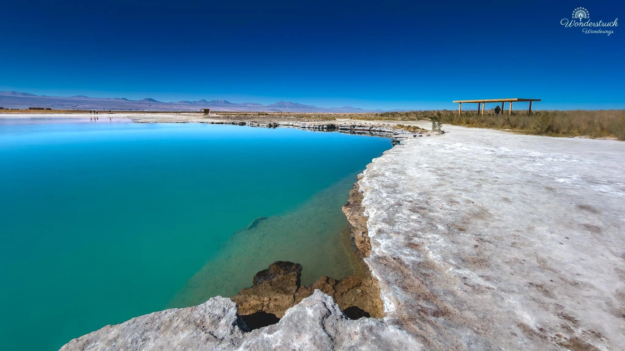
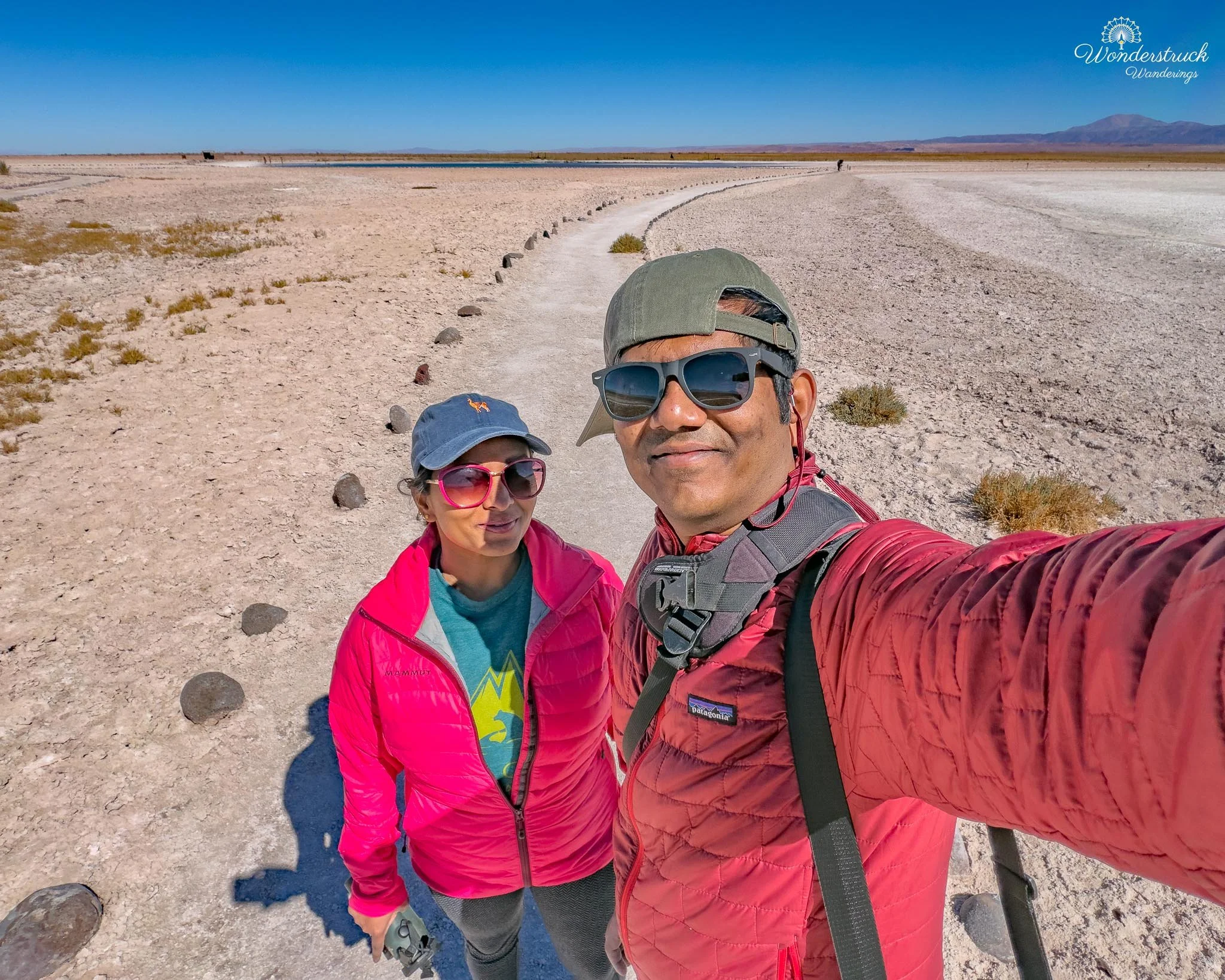
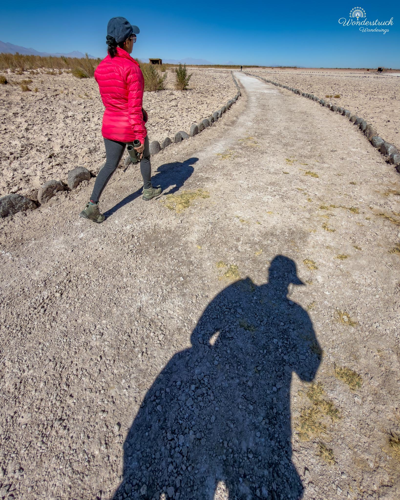
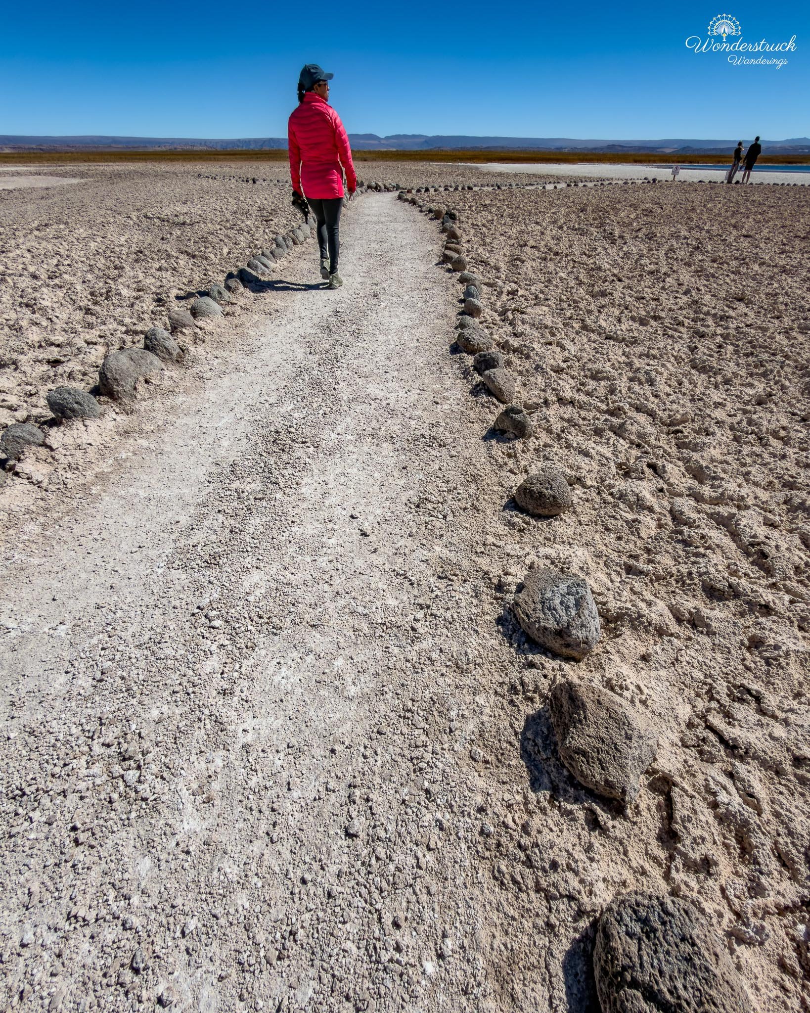
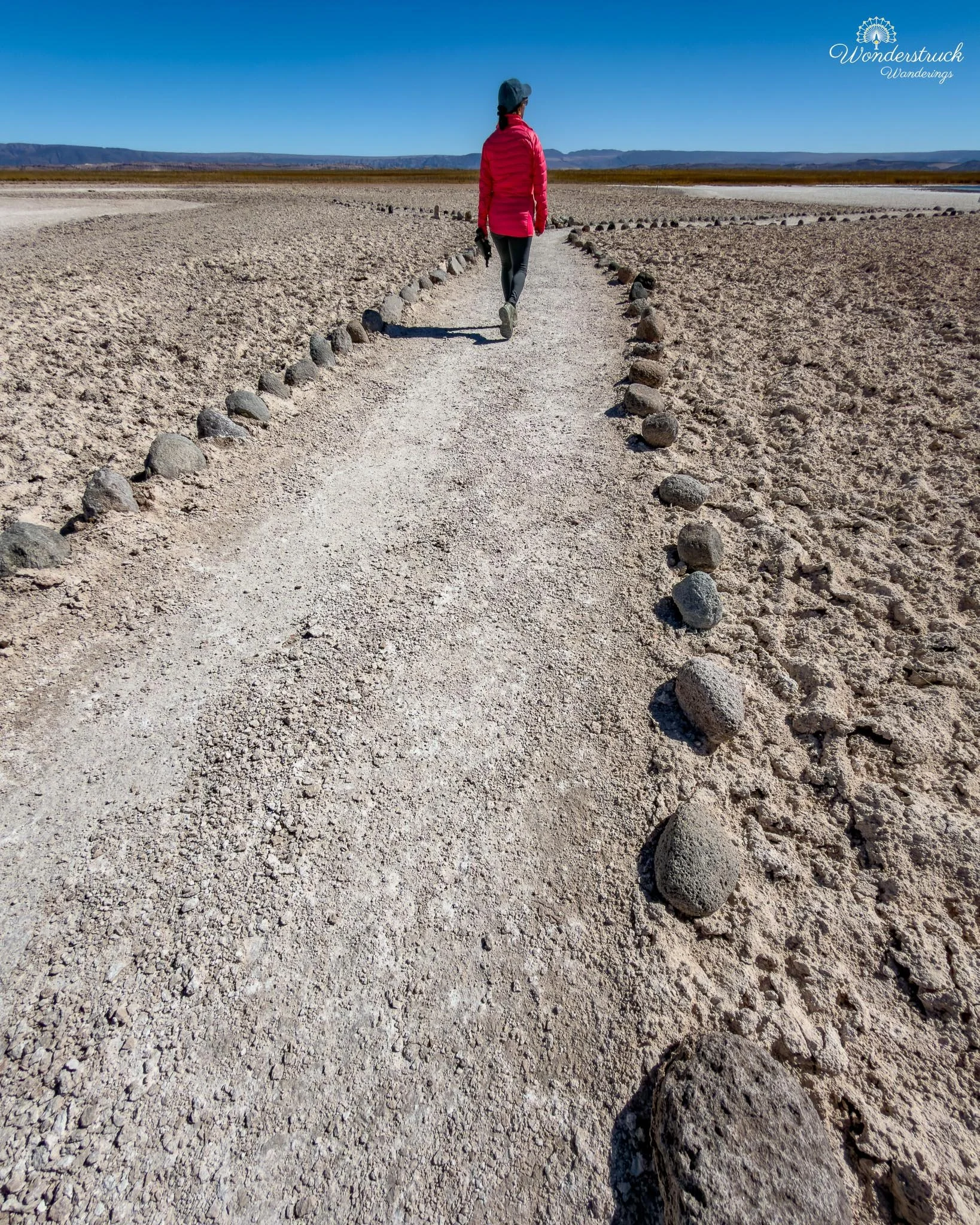
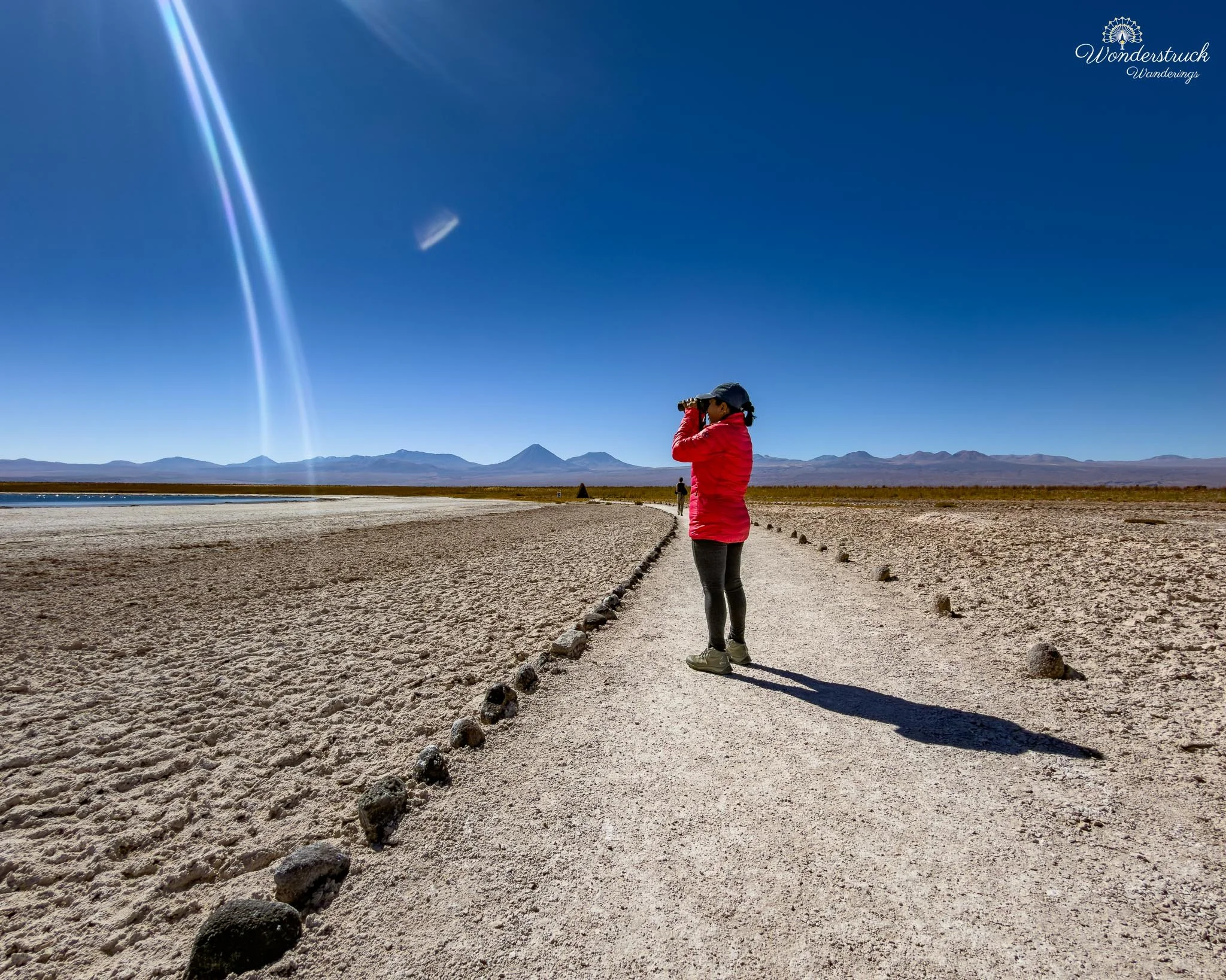
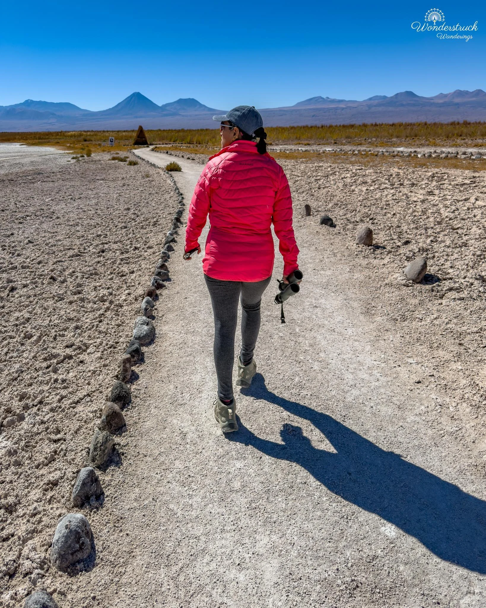
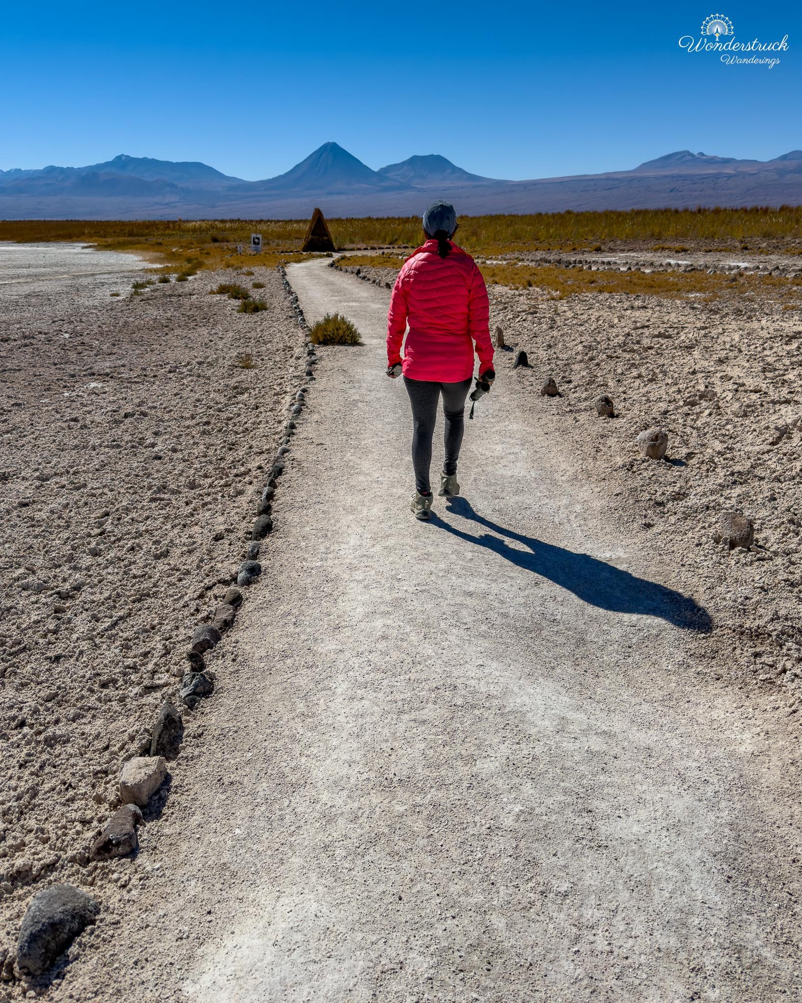
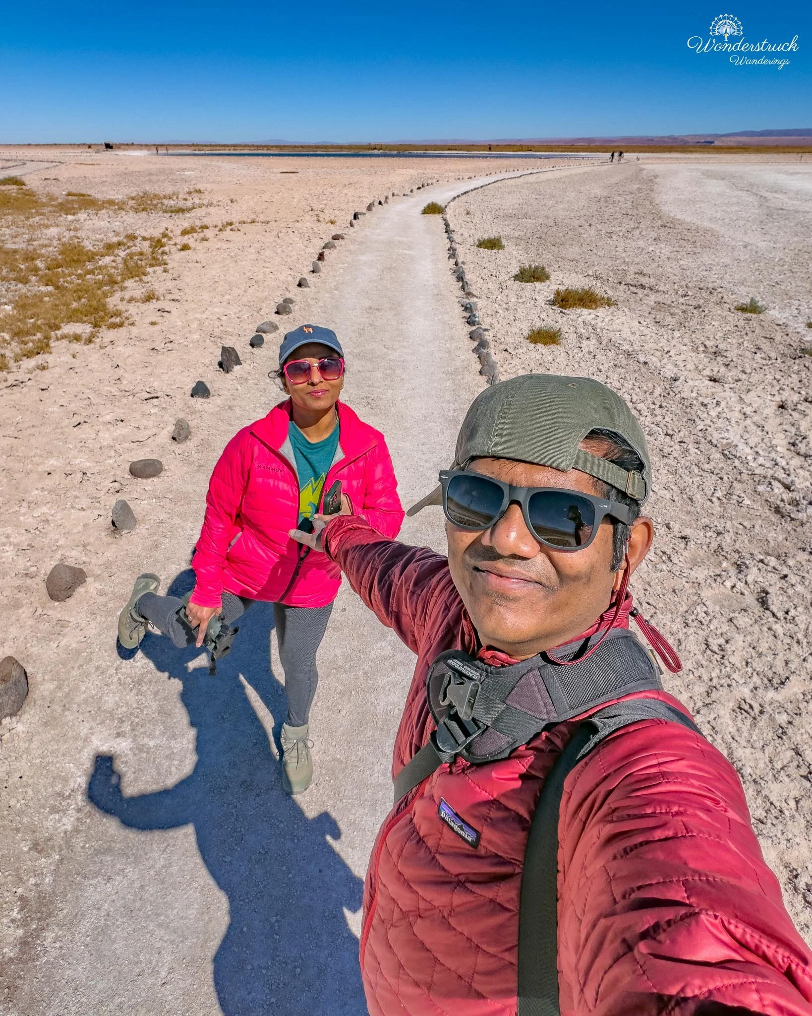
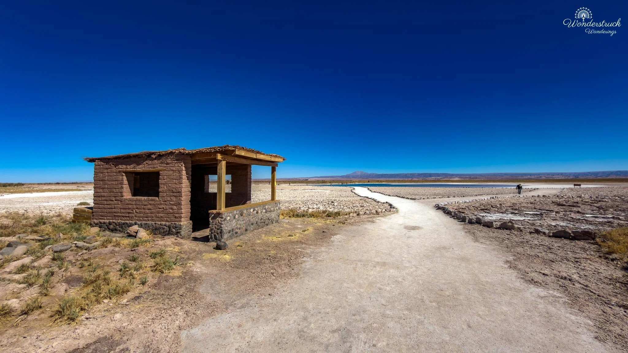
After drying out and gathering our things, we continued toward the third lagoon, Laguna Baltinache. This final lagoon is for viewing and birding rather than swimming, so the pace naturally slowed after the novelty of floating in Laguna Piedra. The water sat inside the same salt-flat environment, bordered by pale crust and low saline edges, with distant mountains and volcanoes holding the horizon. By then, the salt had dried hard on our skin and clothes, but the walk was worth continuing because this section brought the visit back to birds and landscape. At Laguna Baltinache, Shay worked the water and shoreline slowly while I looked for compositions through the salt crust and reflections. Teals were on the water, moving quietly through the saline lagoon, and every small movement became easier to notice once we stopped rushing. The pale salt edge made the birds stand out differently than they would in a green wetland; subtle plumage, head shape, and movement mattered more than color. Laguna Baltinache also had a small flamingo hide tucked into one corner, clearly placed for watching the shallow, mineral-rich water where flamingos like to feed. We kept checking the farther edges from there, scanning for birds and letting the lagoon settle around us. After the cold float, the salt crust, and the bright glare of the main path, the hide gave this last section a quieter rhythm: pause, scan, watch the water, check the edges, and let the saline desert reveal life slowly.
La Franchuteria, Rica-Rica Ice Cream, and a Town Reset
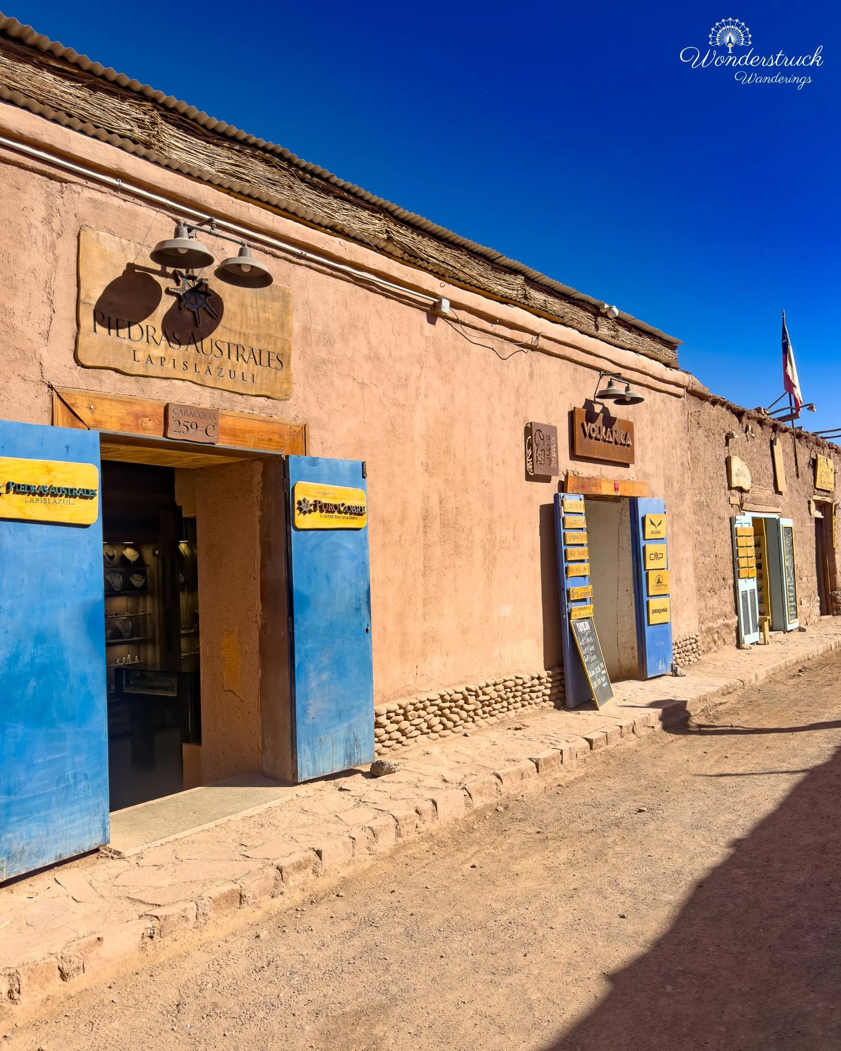
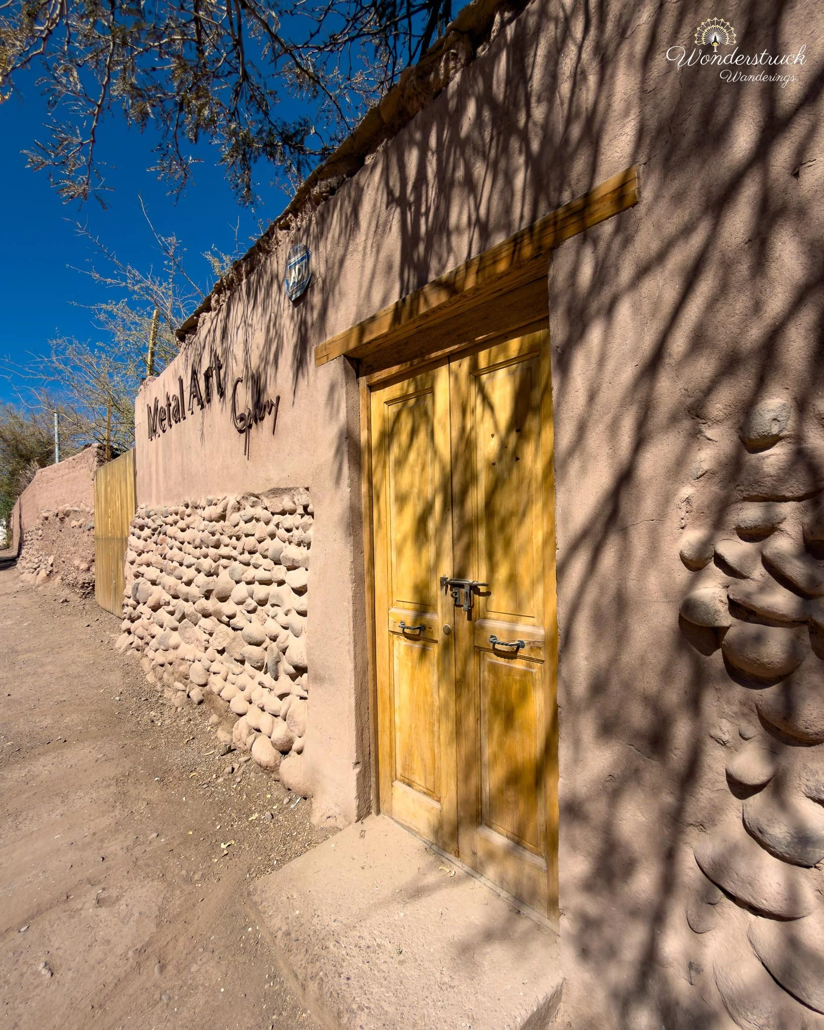
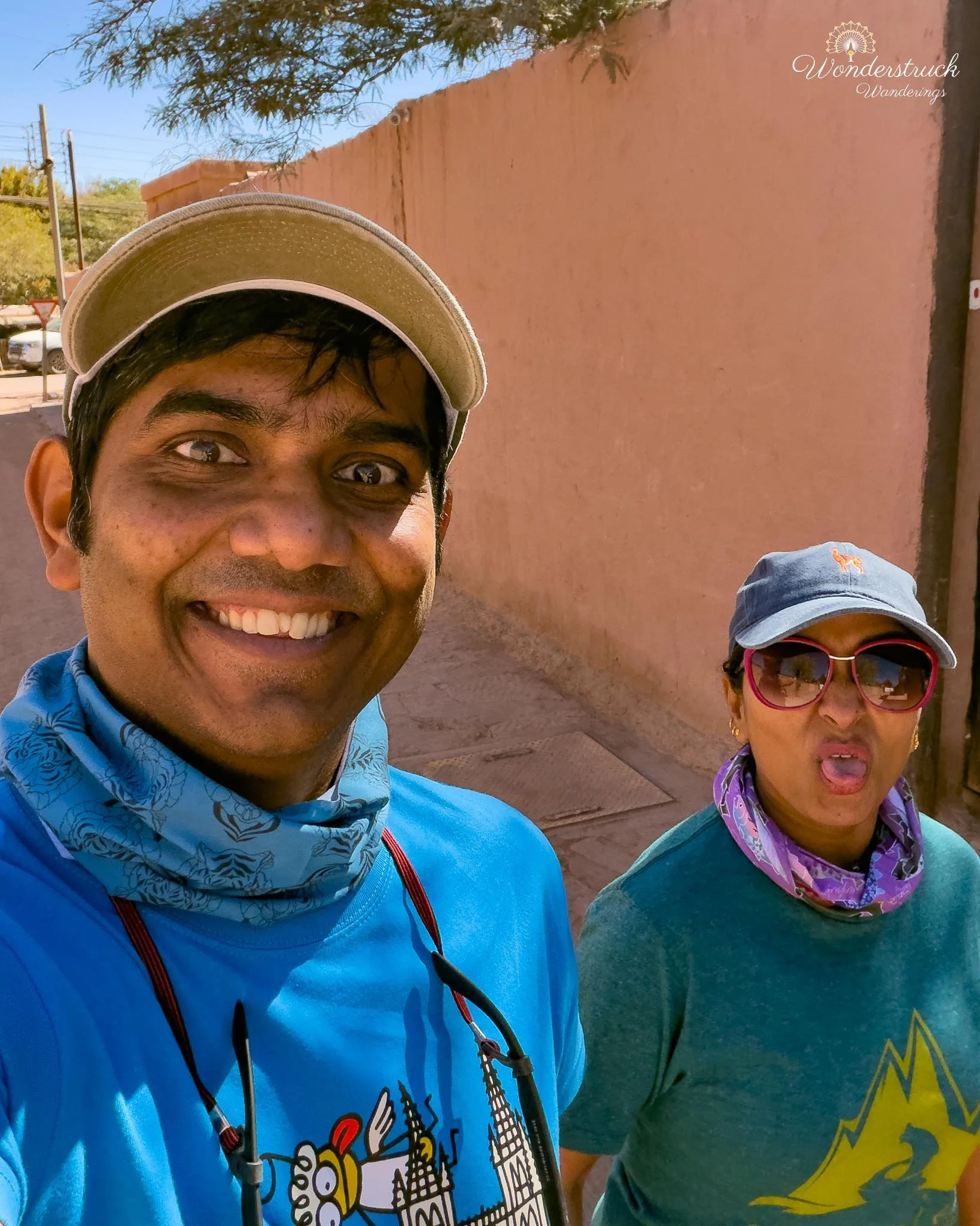
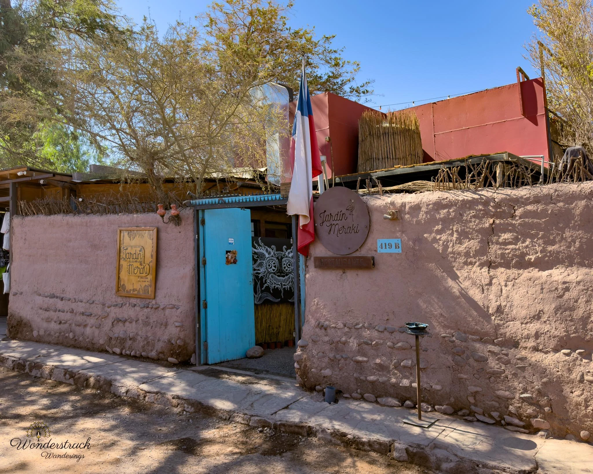
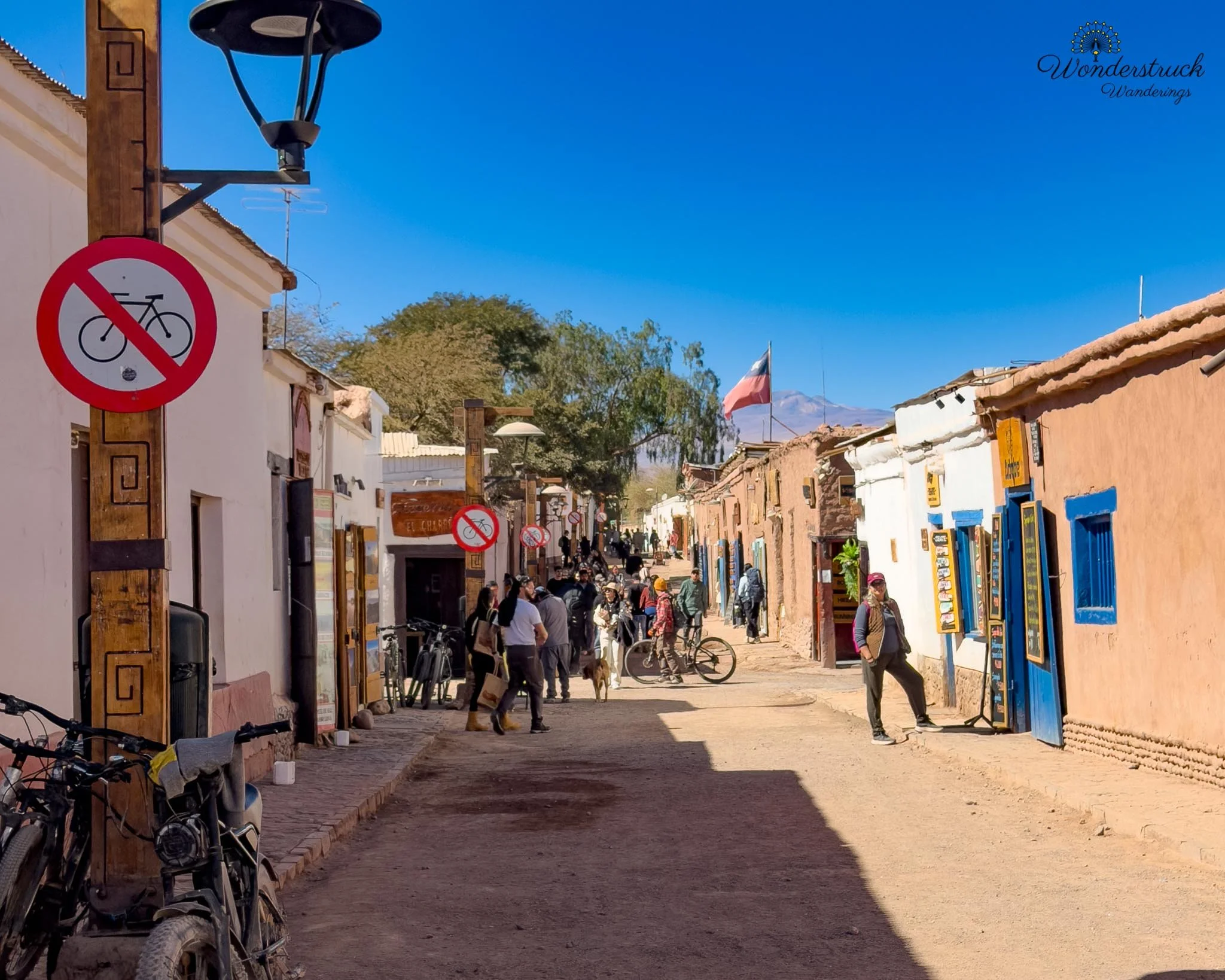
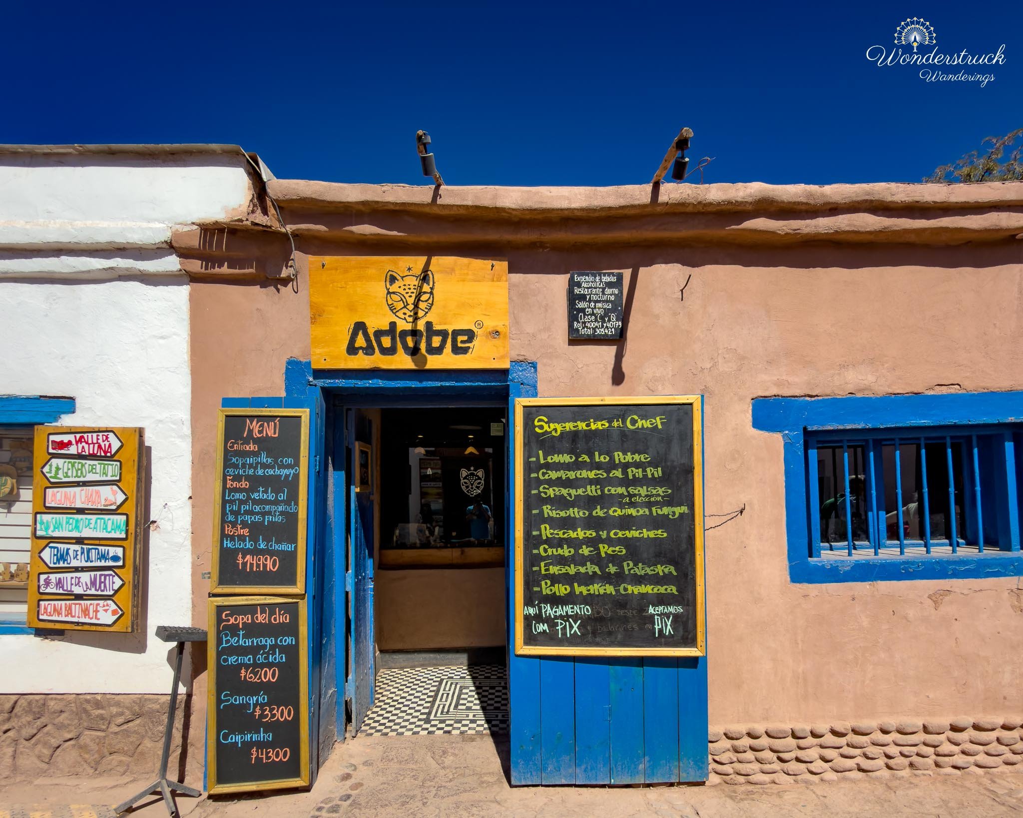
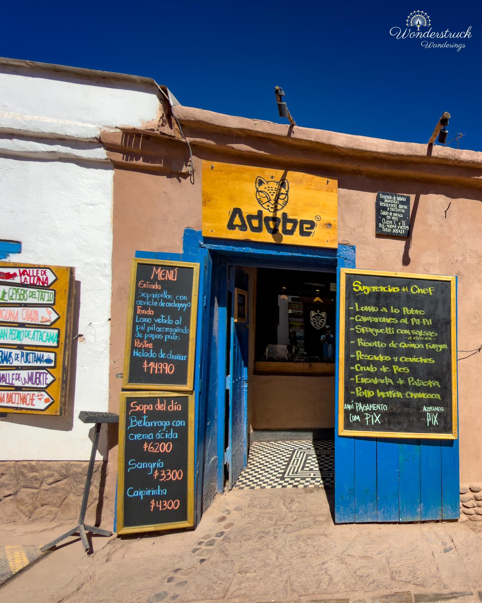
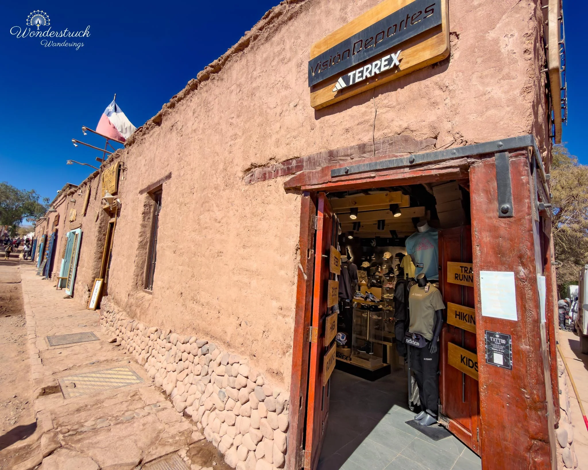
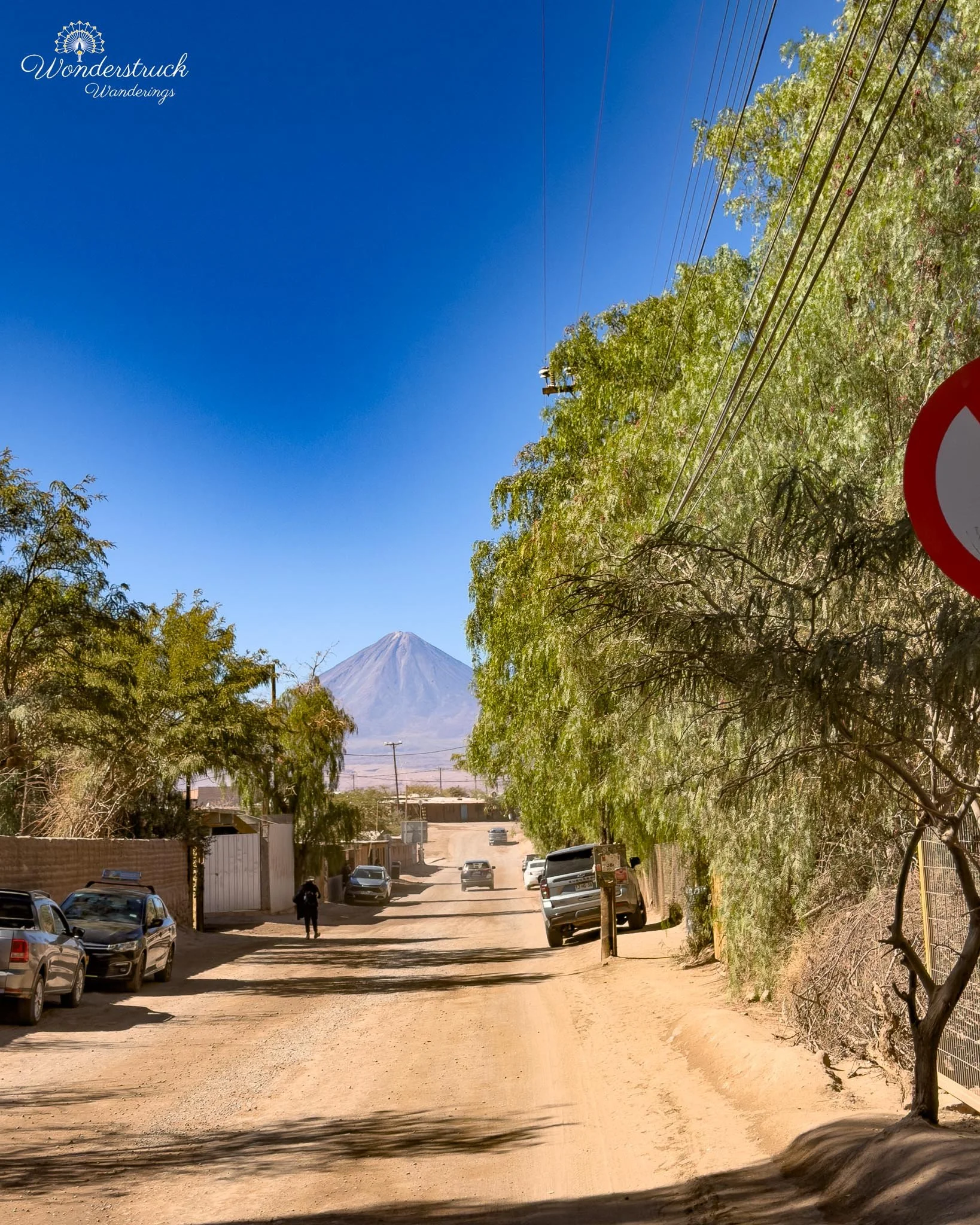
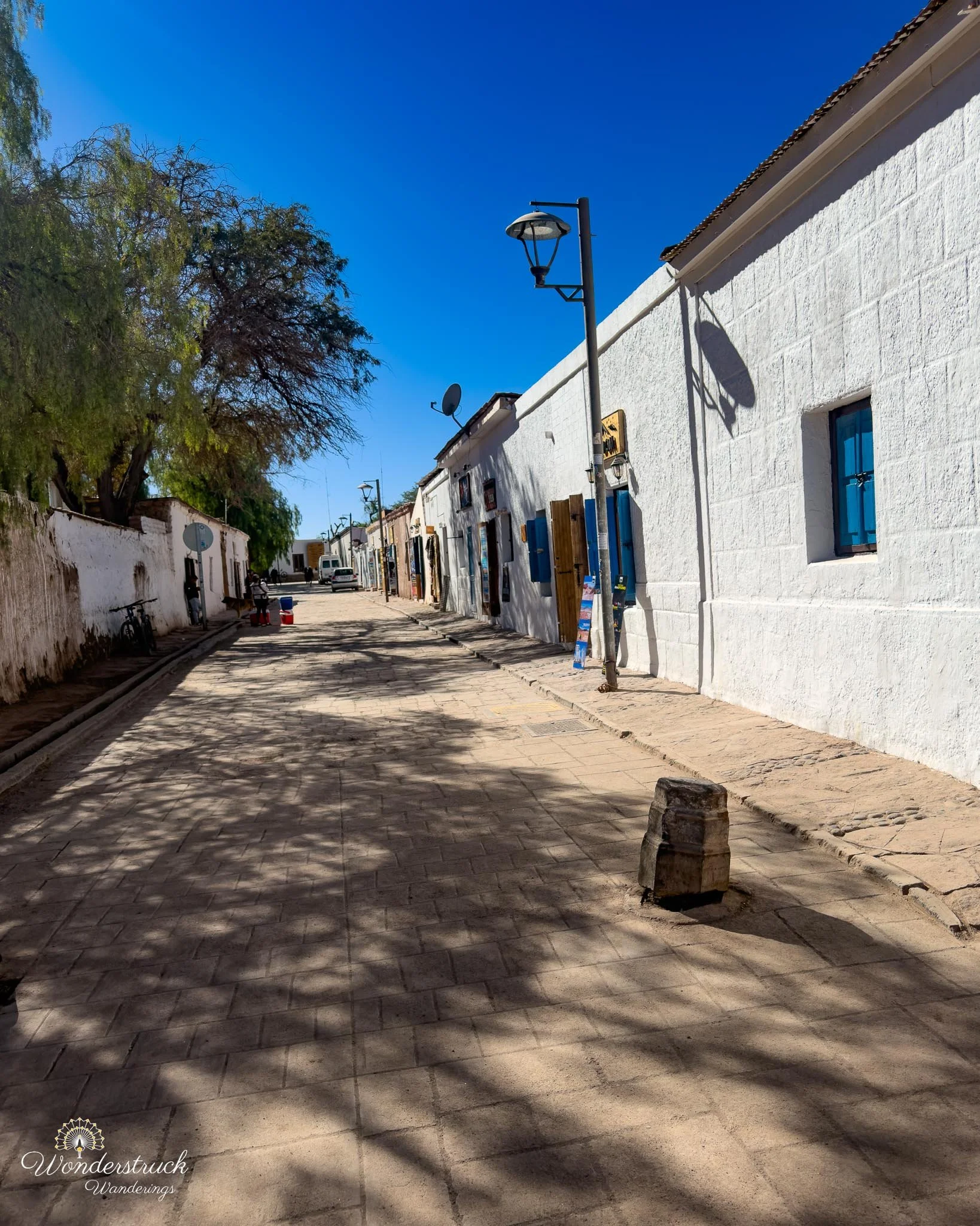
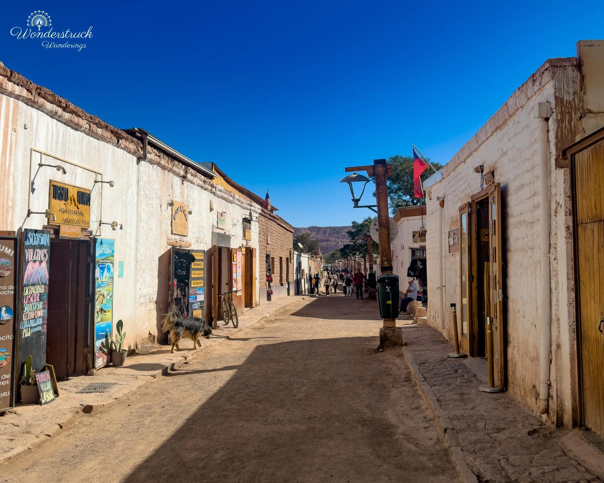
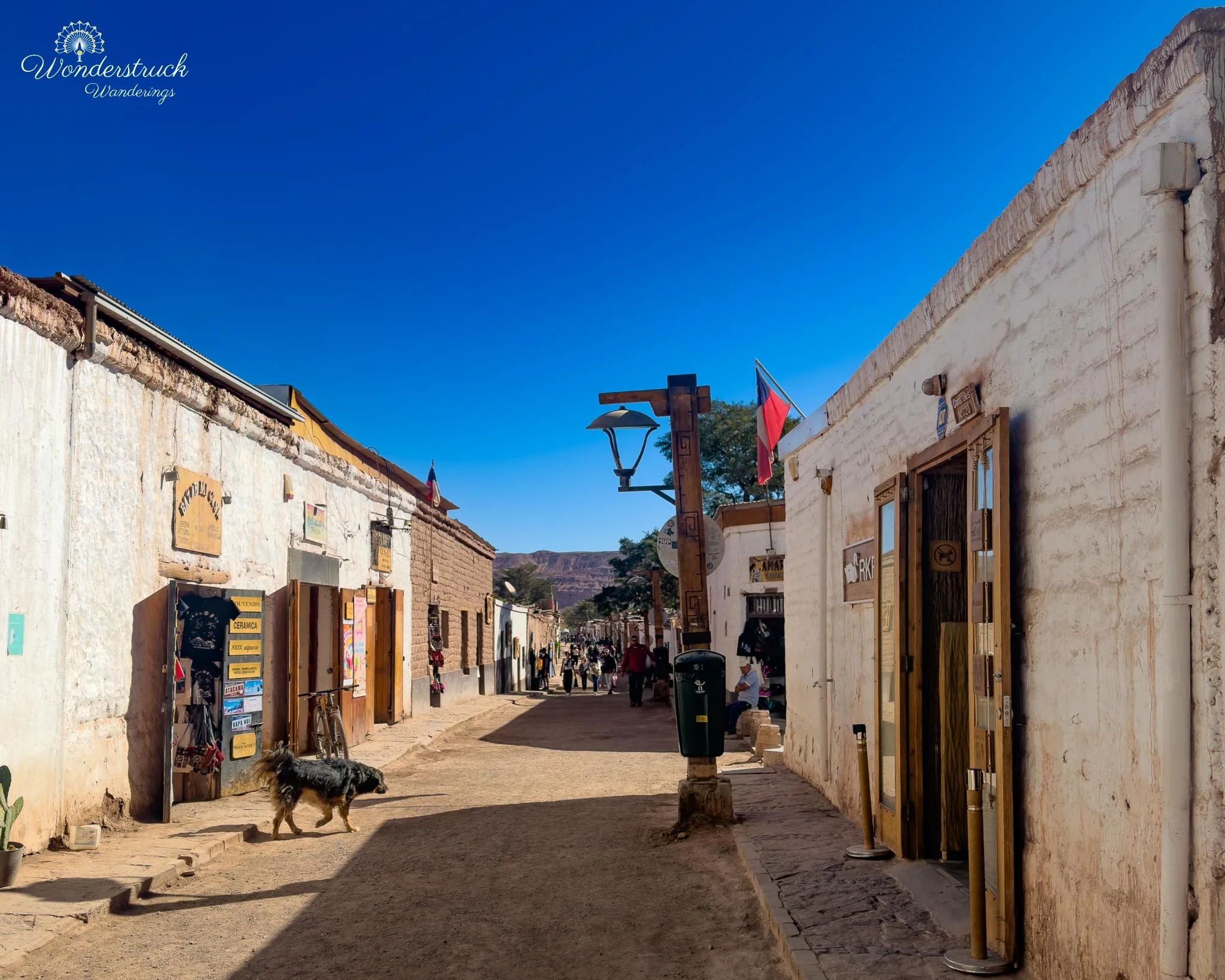
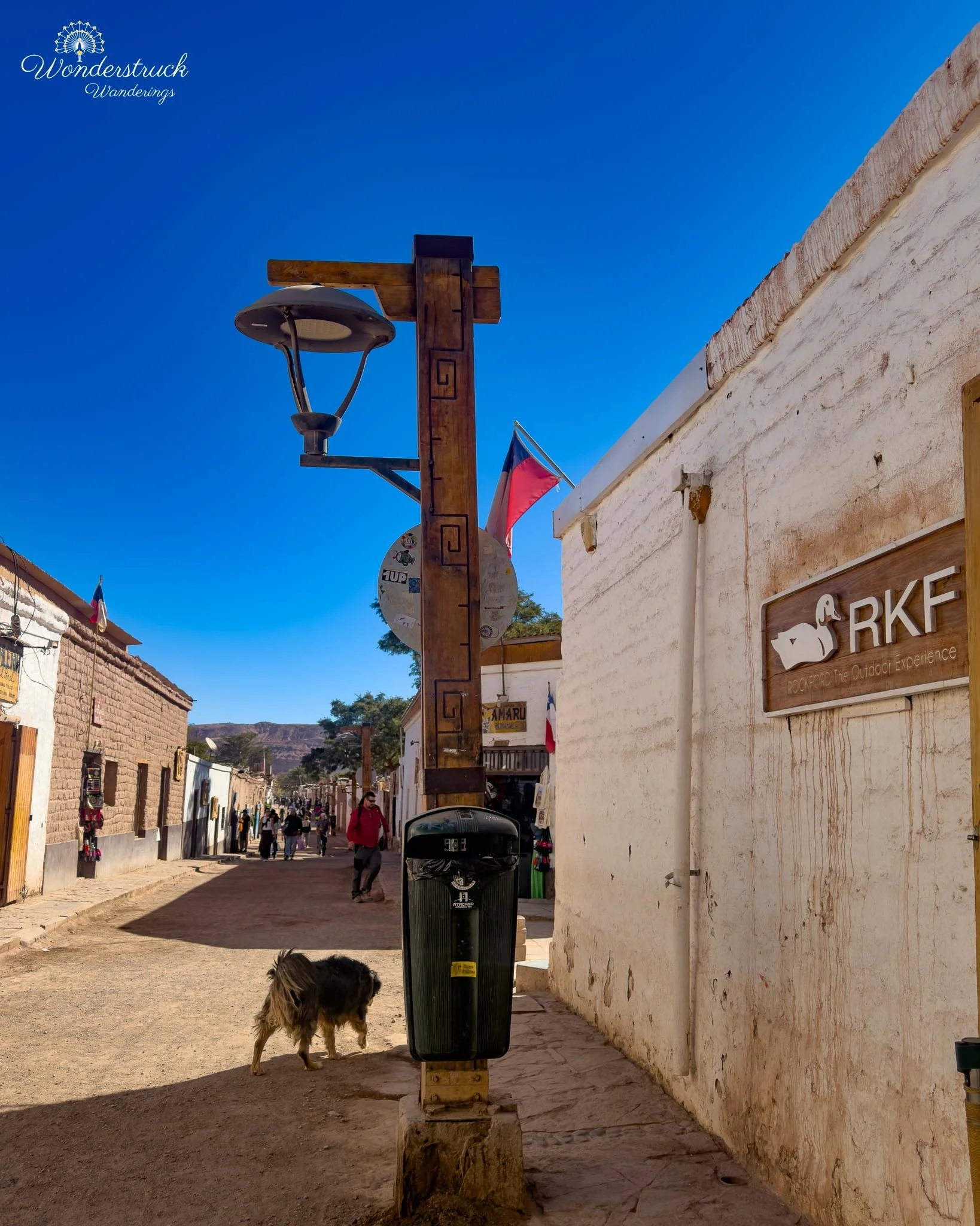
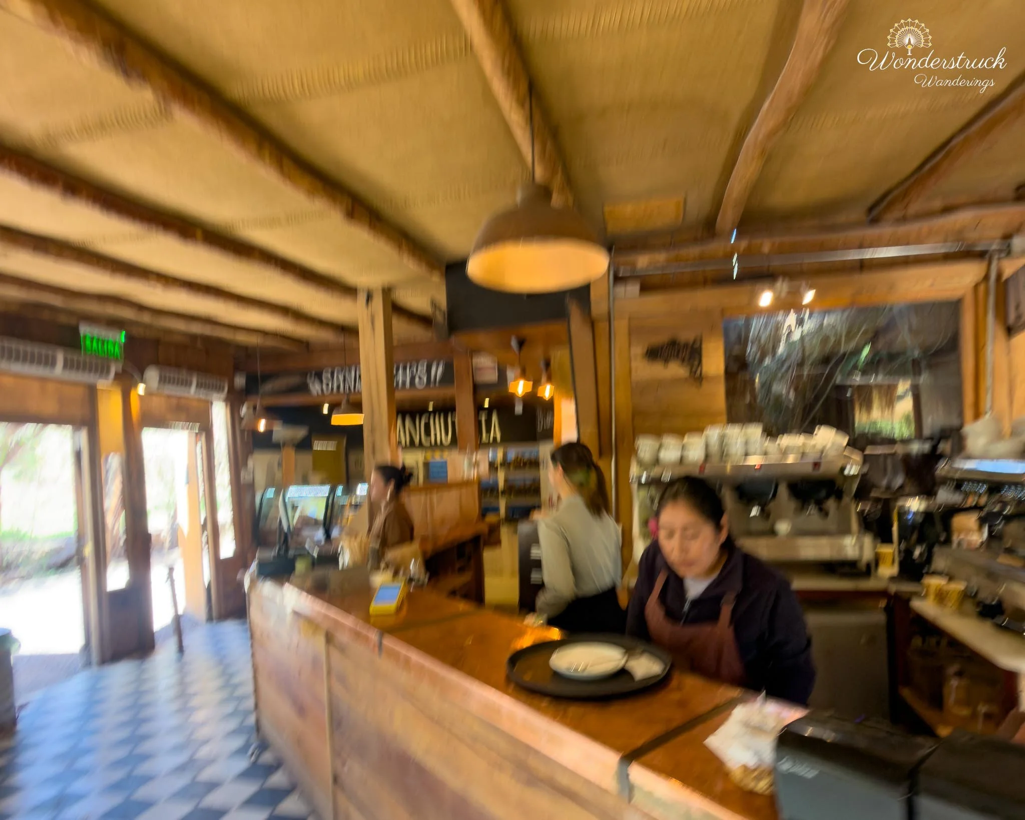
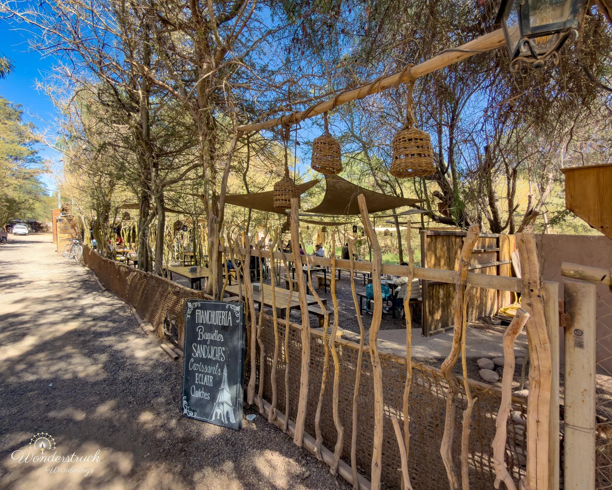
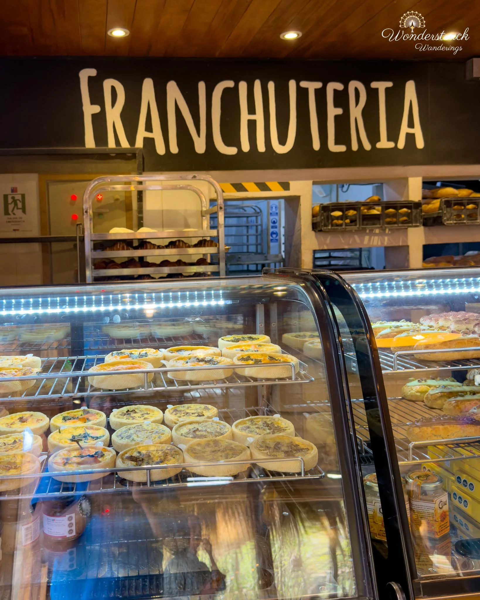
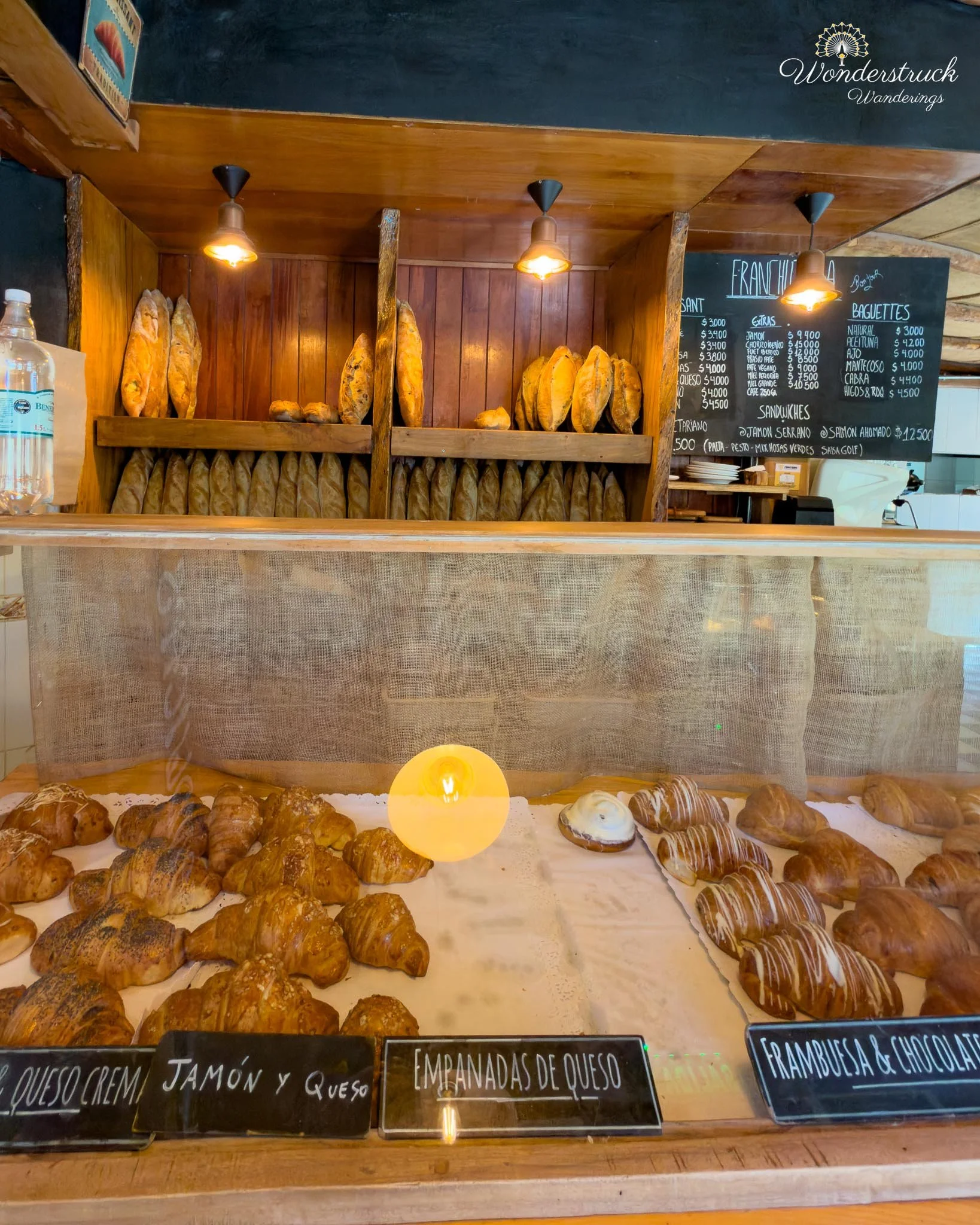
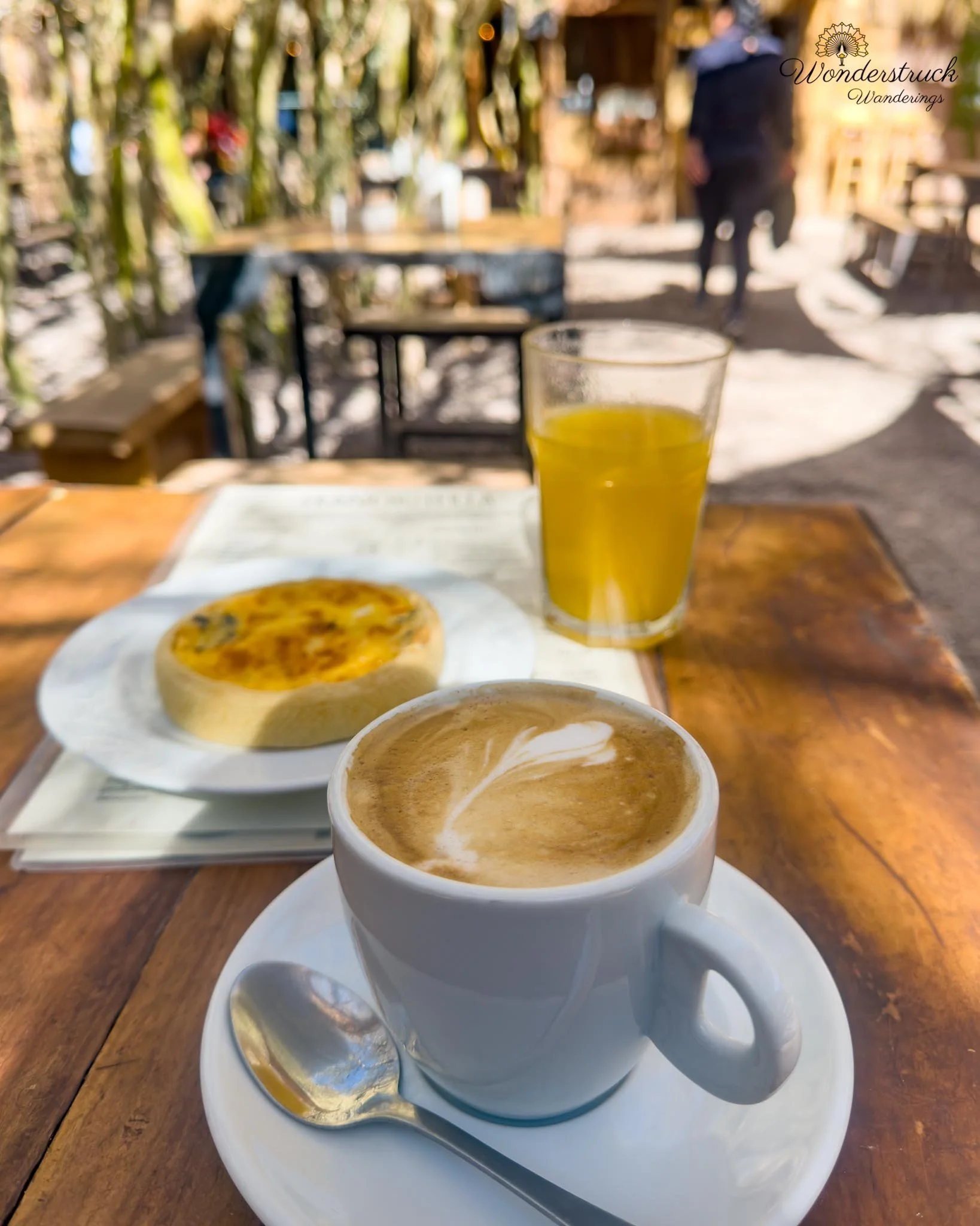
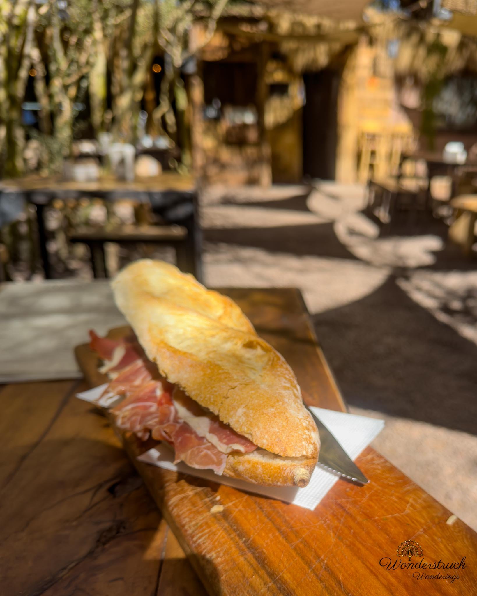
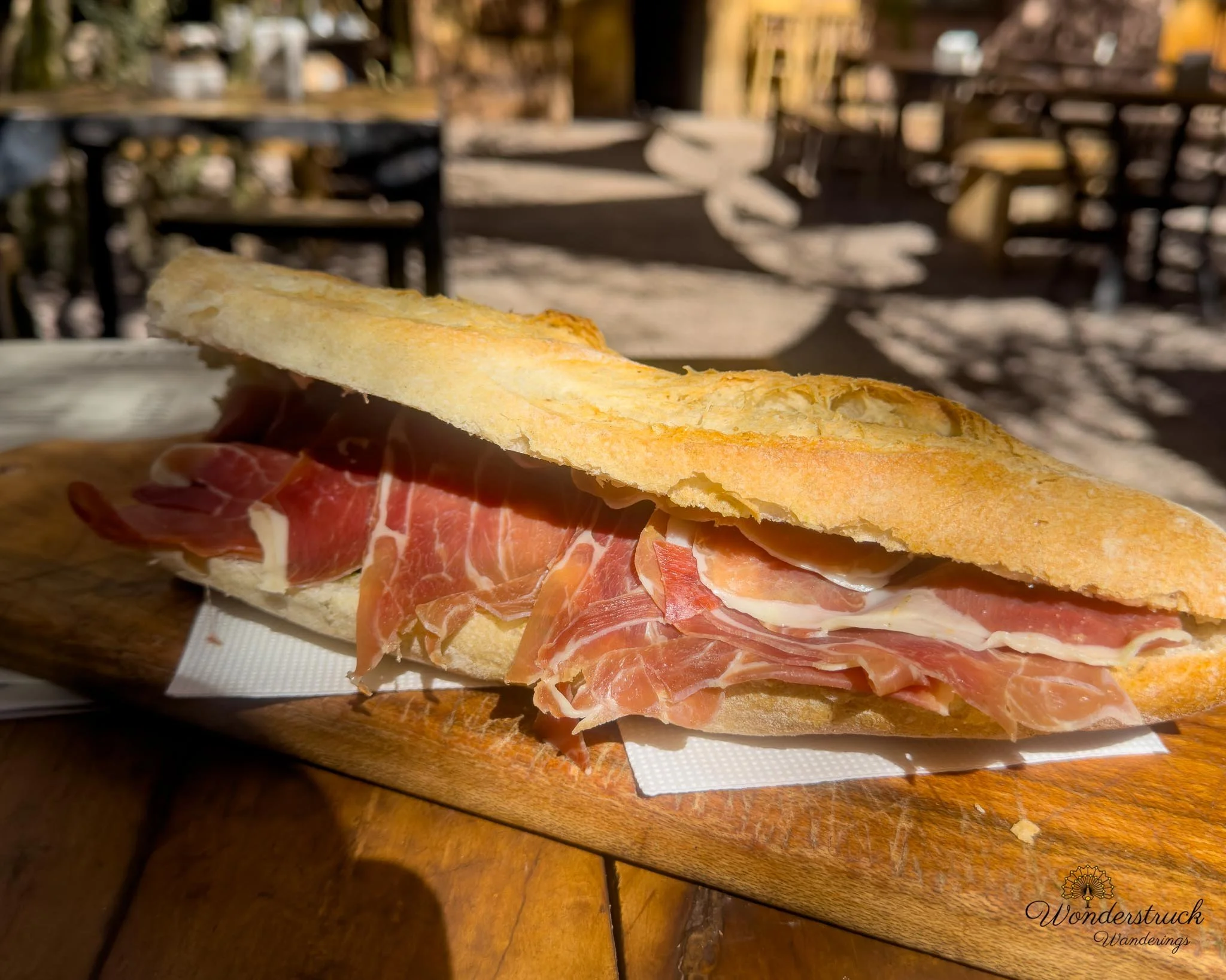
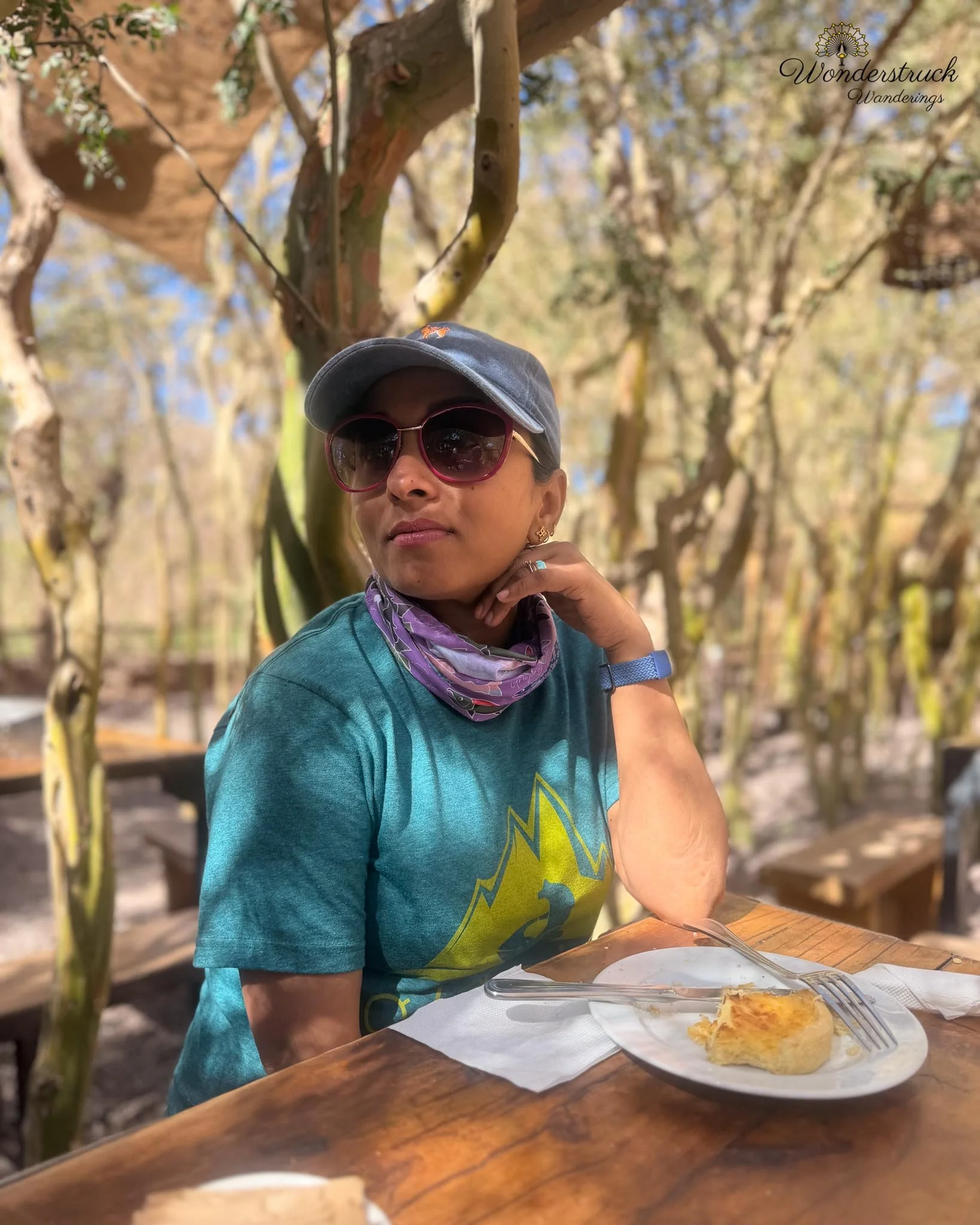
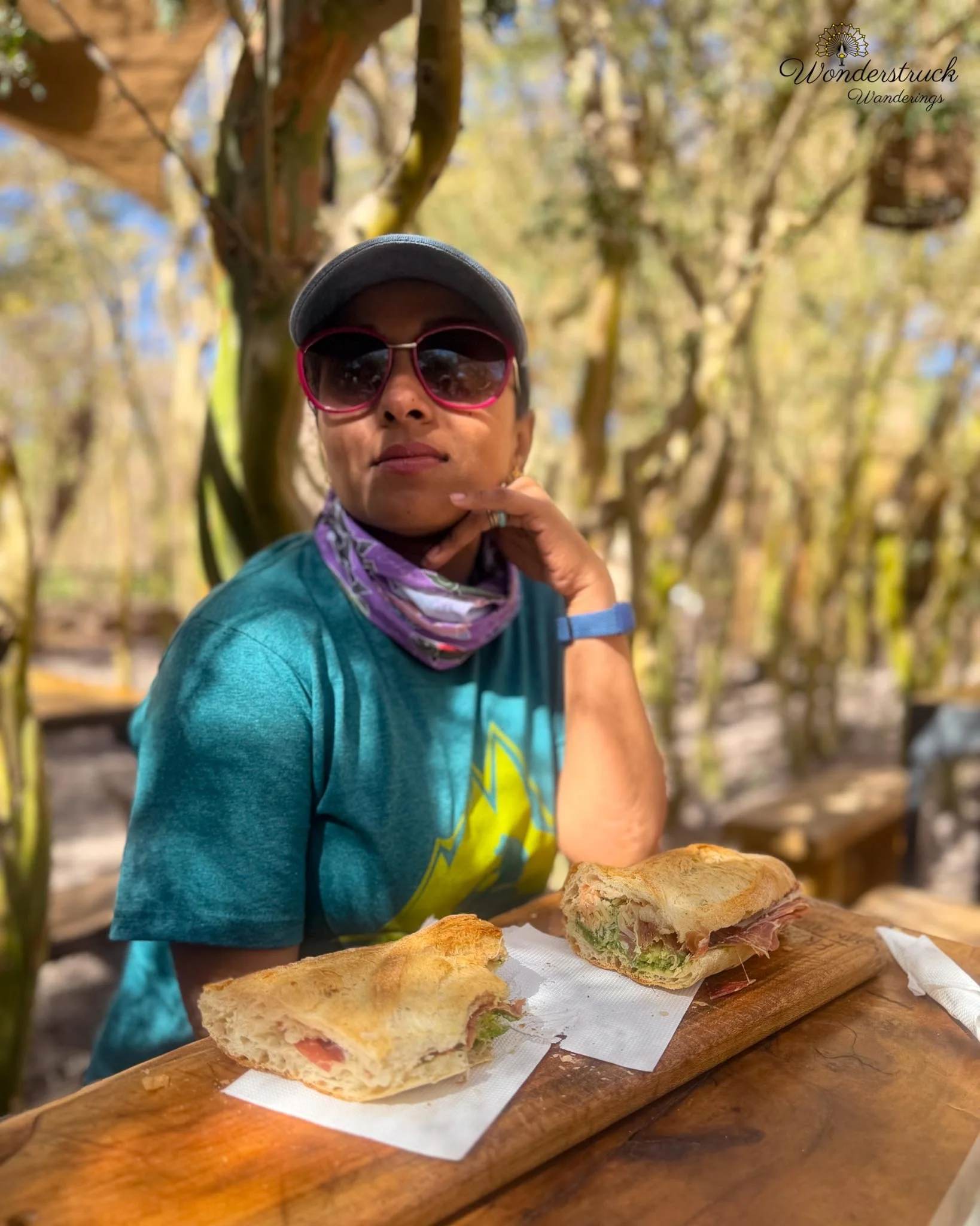
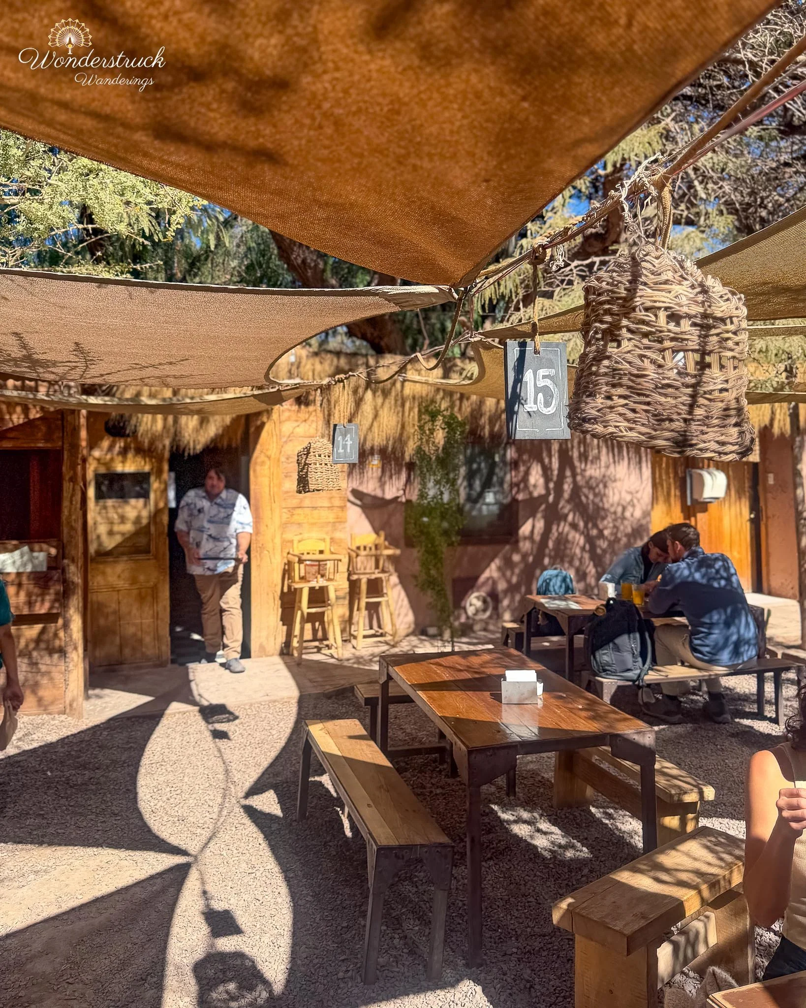
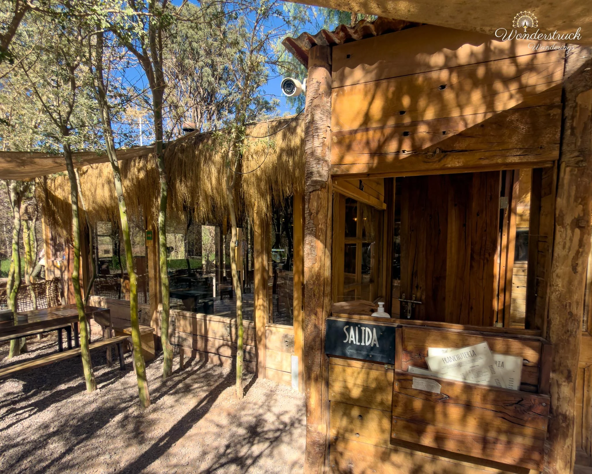
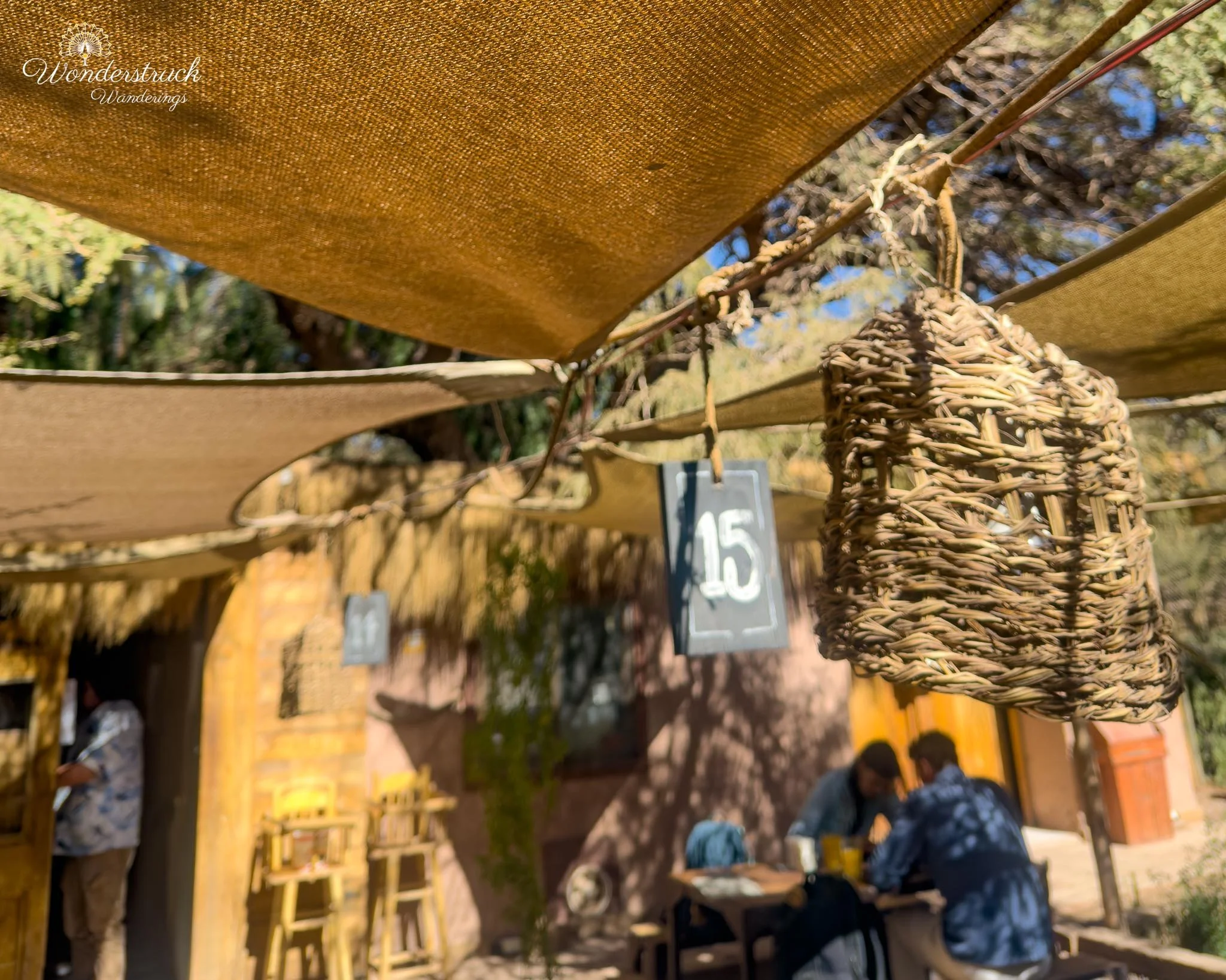
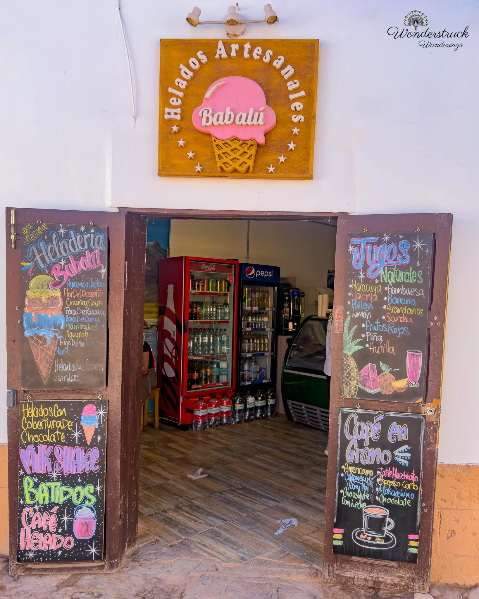
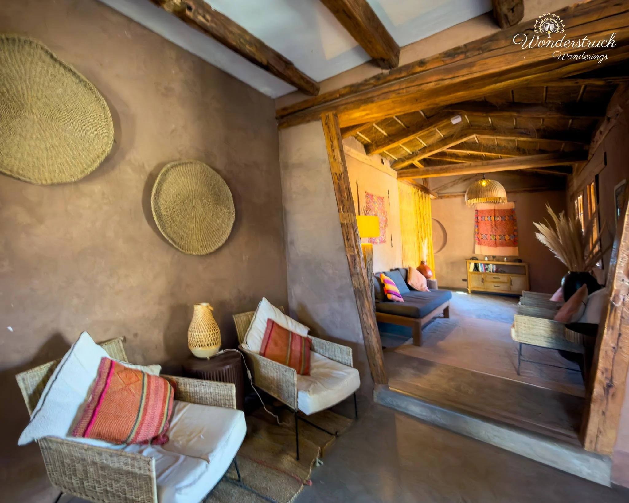
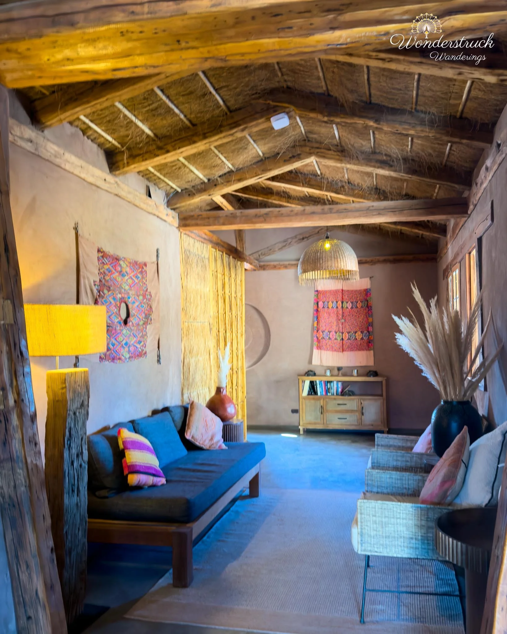
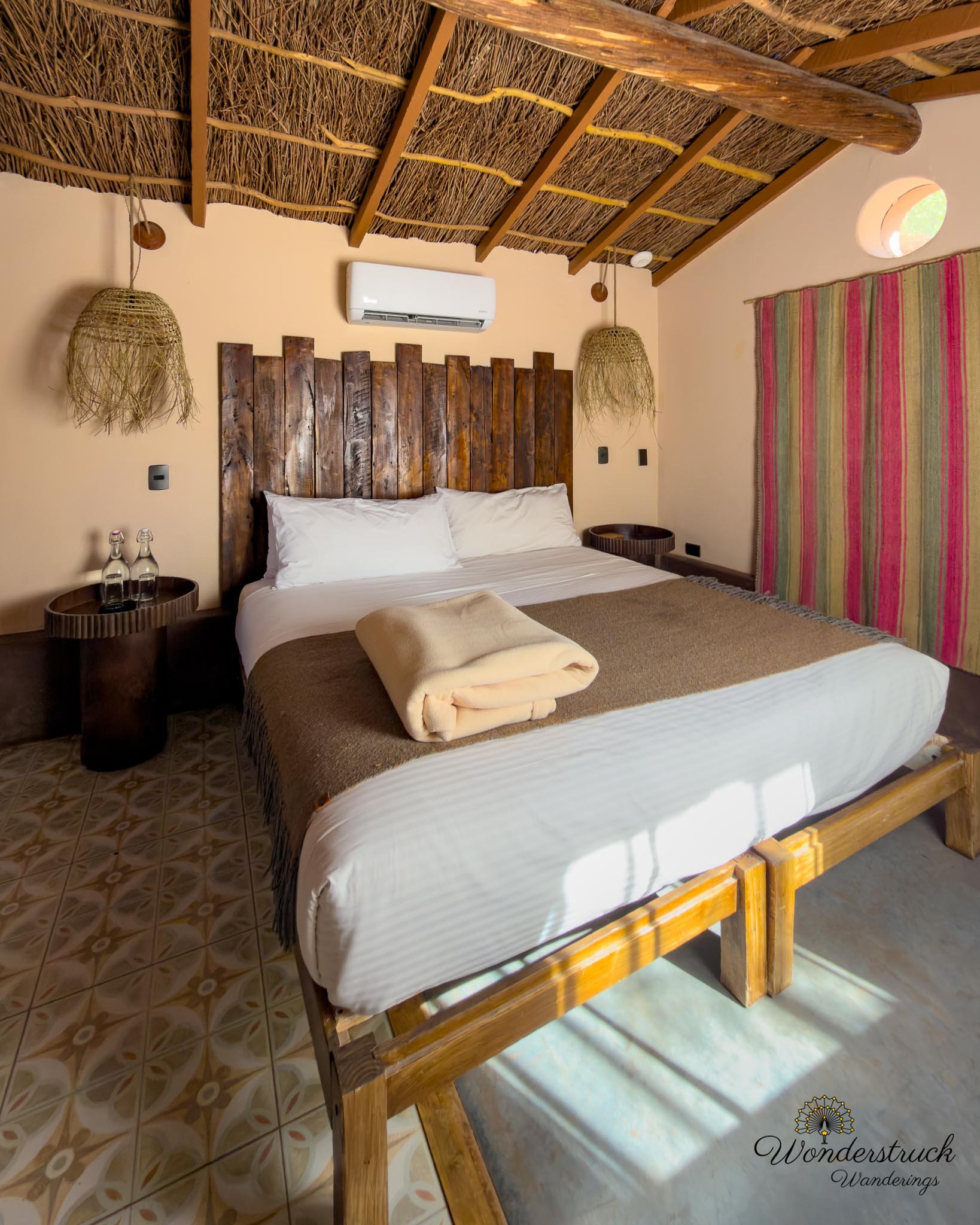
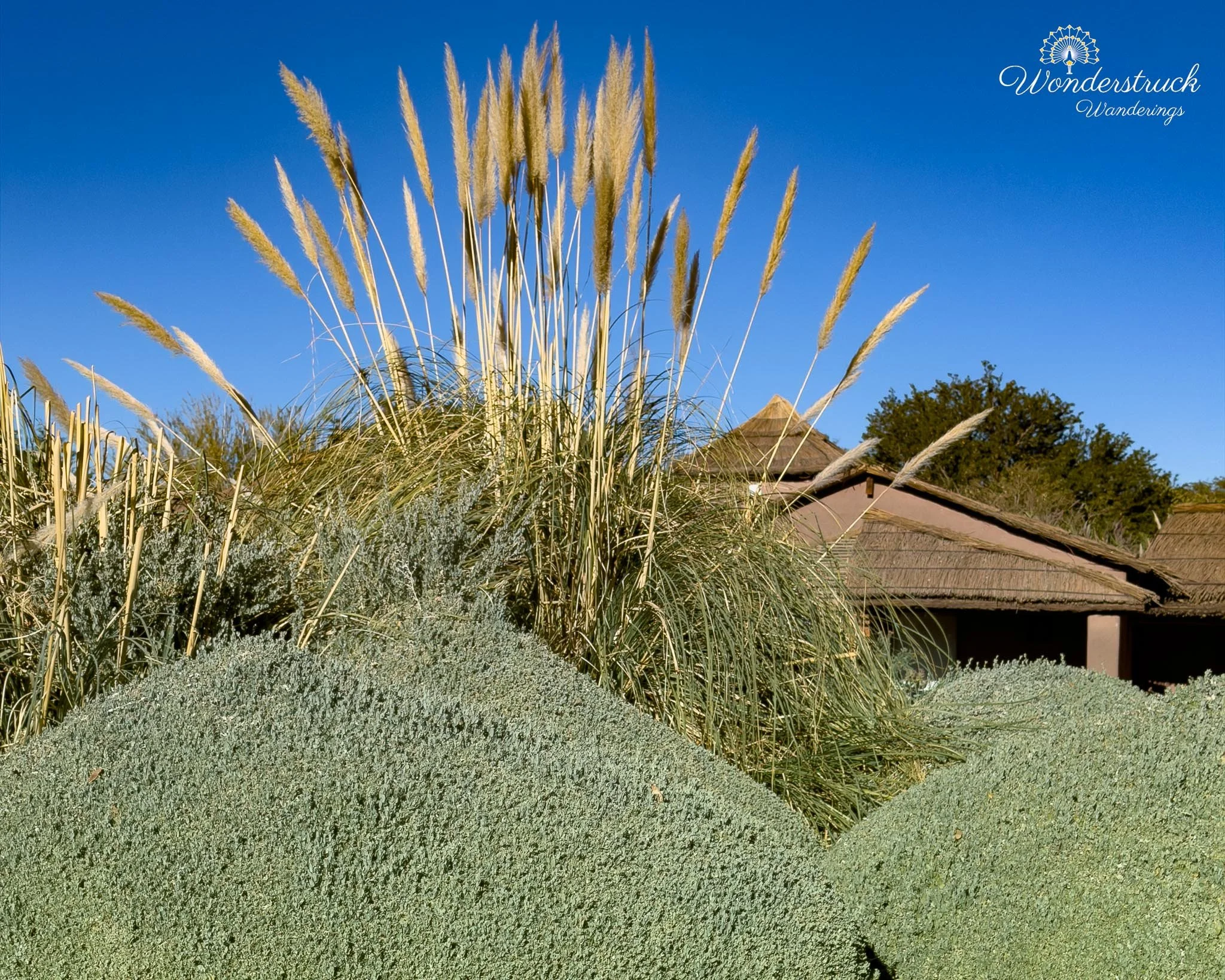
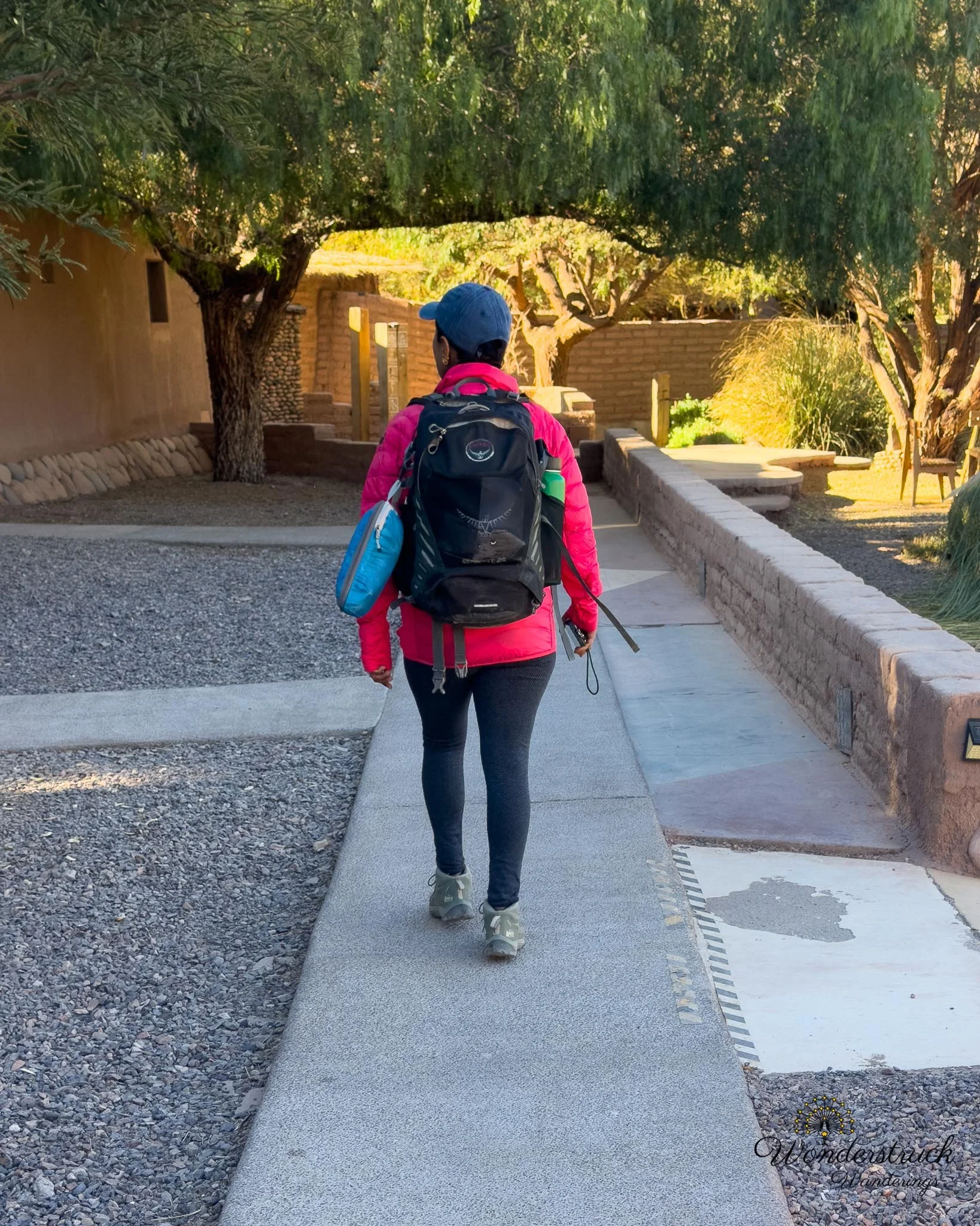
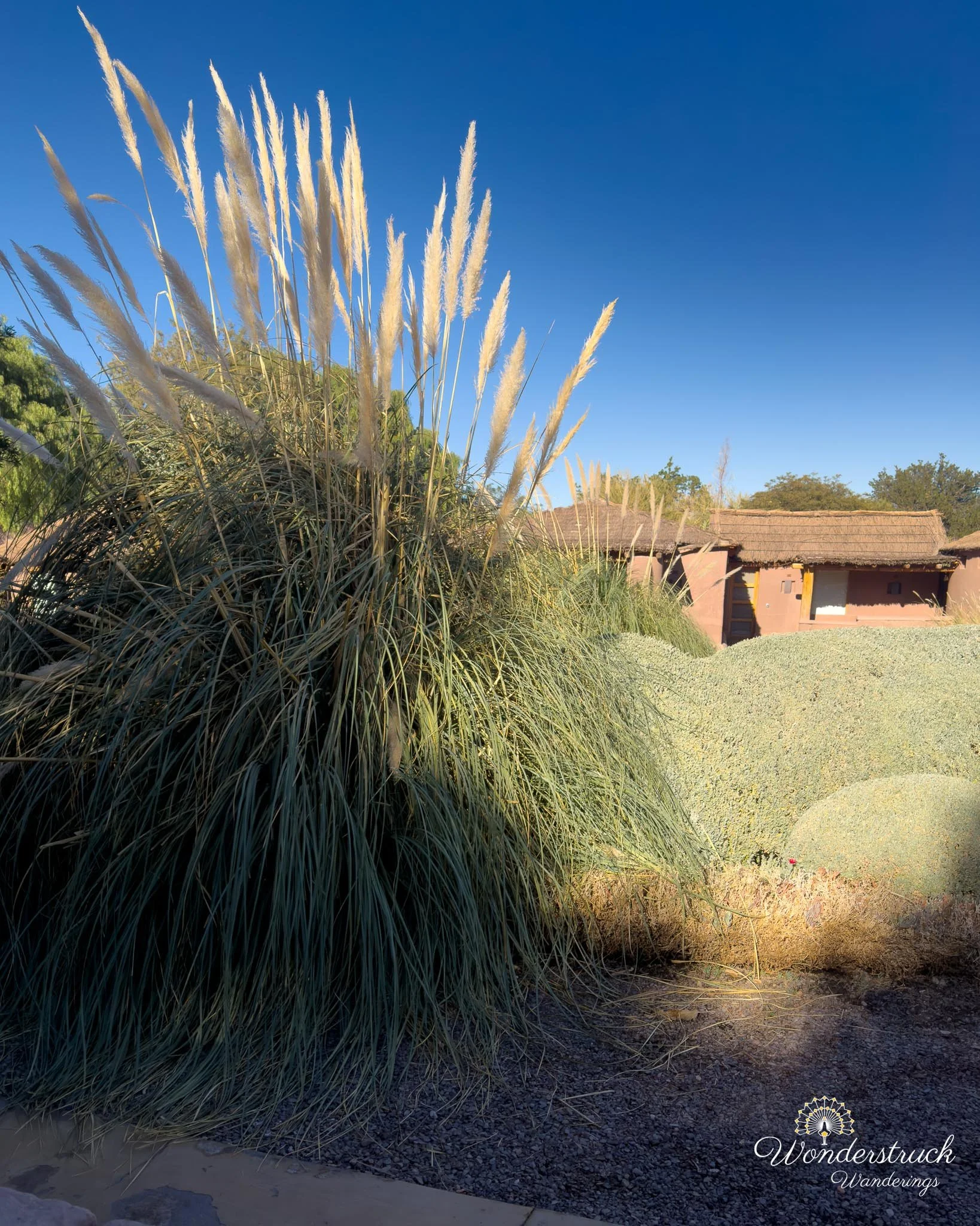
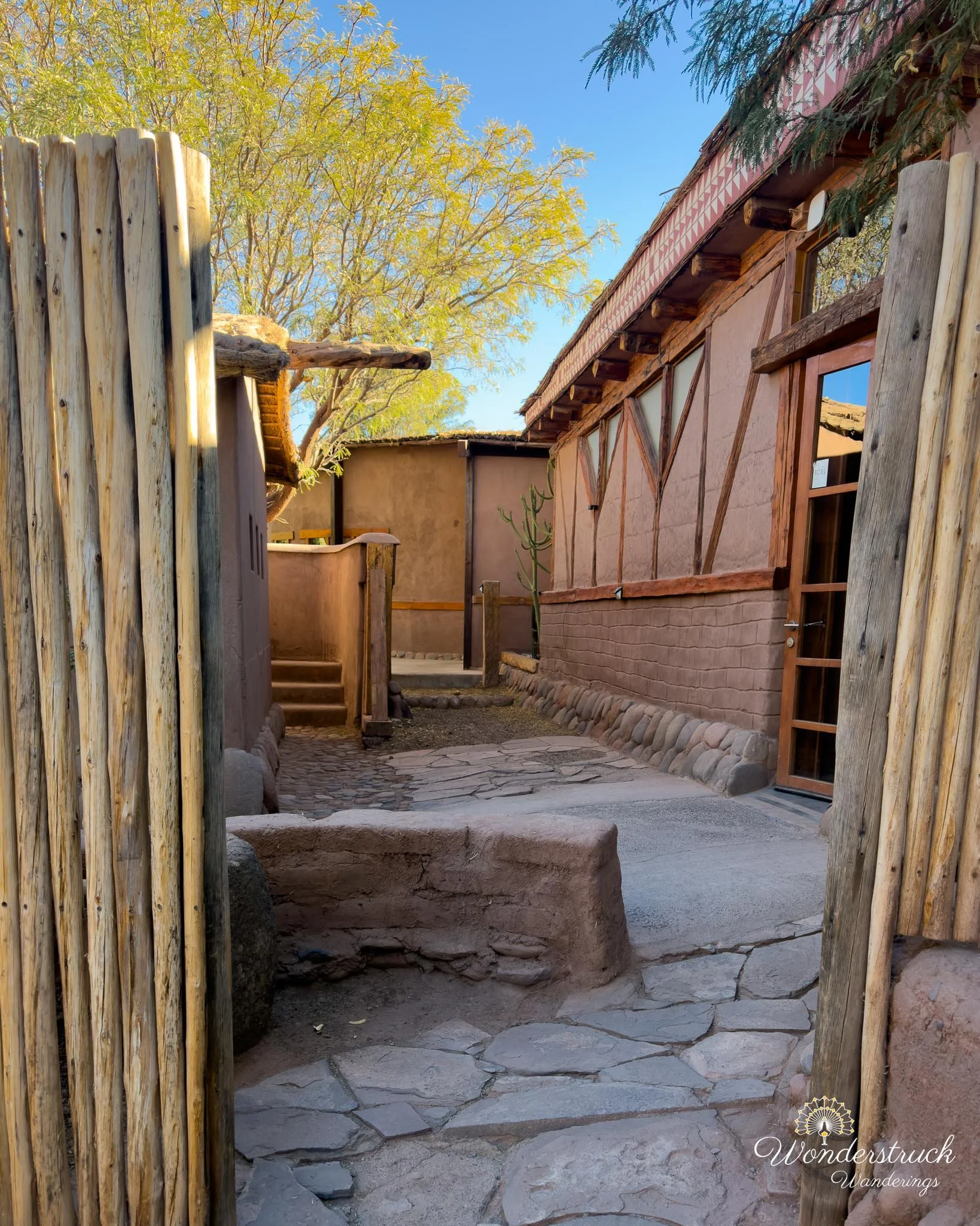
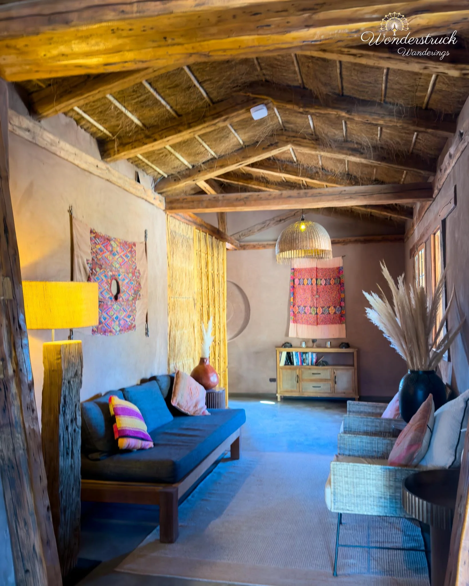
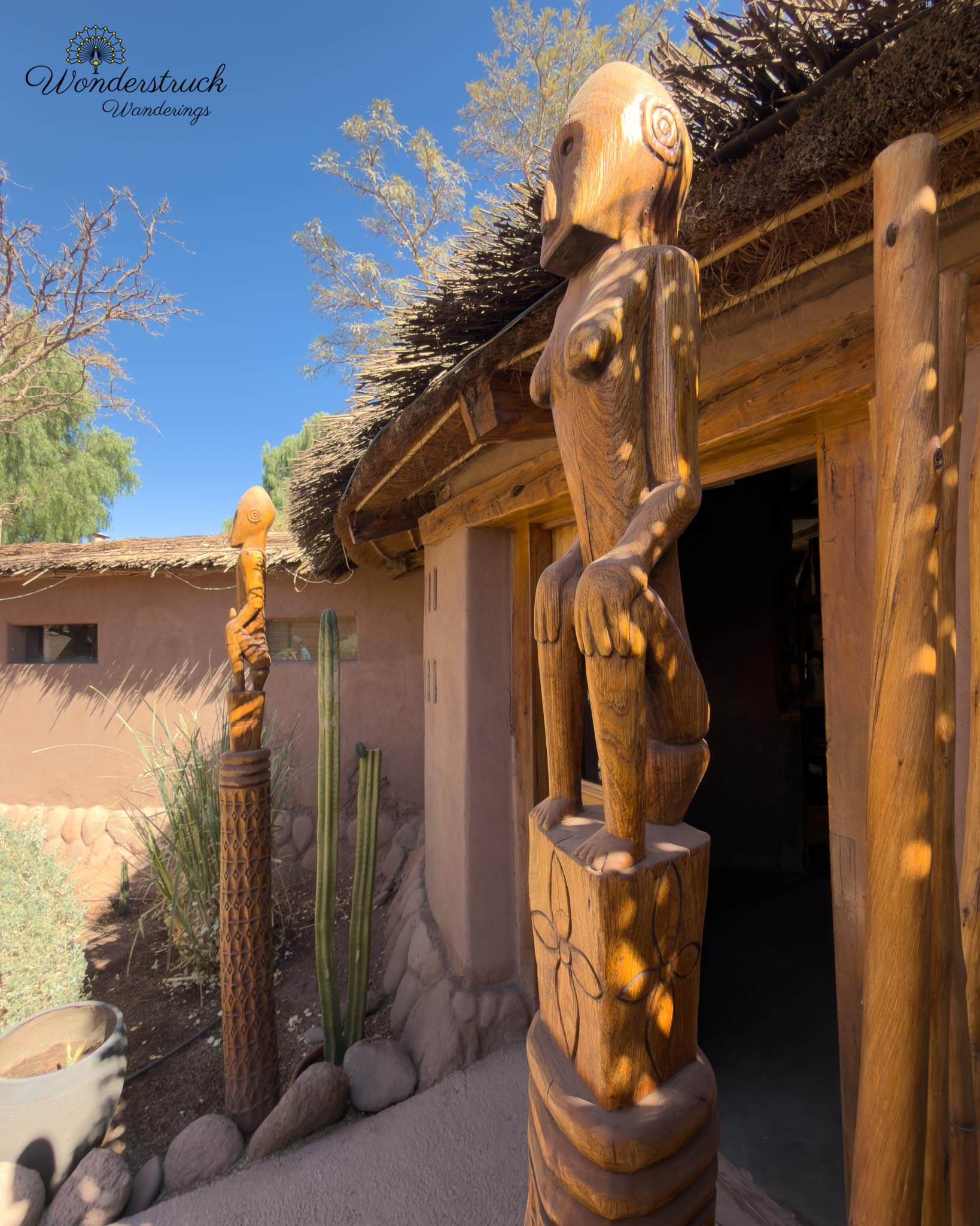
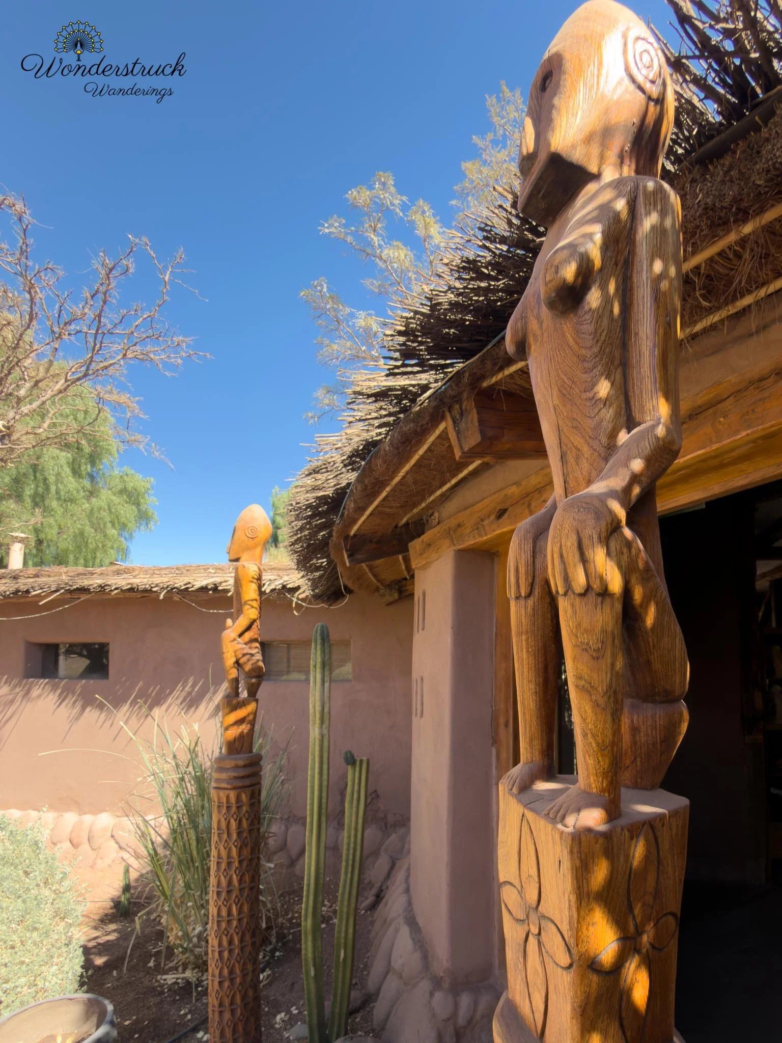
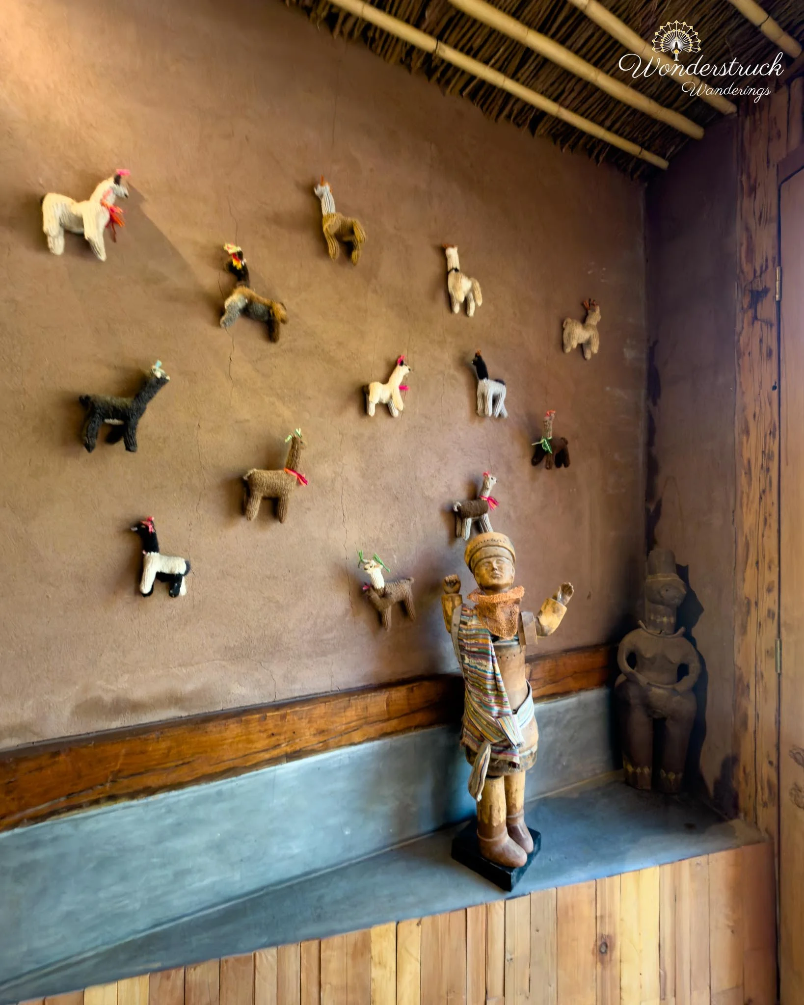
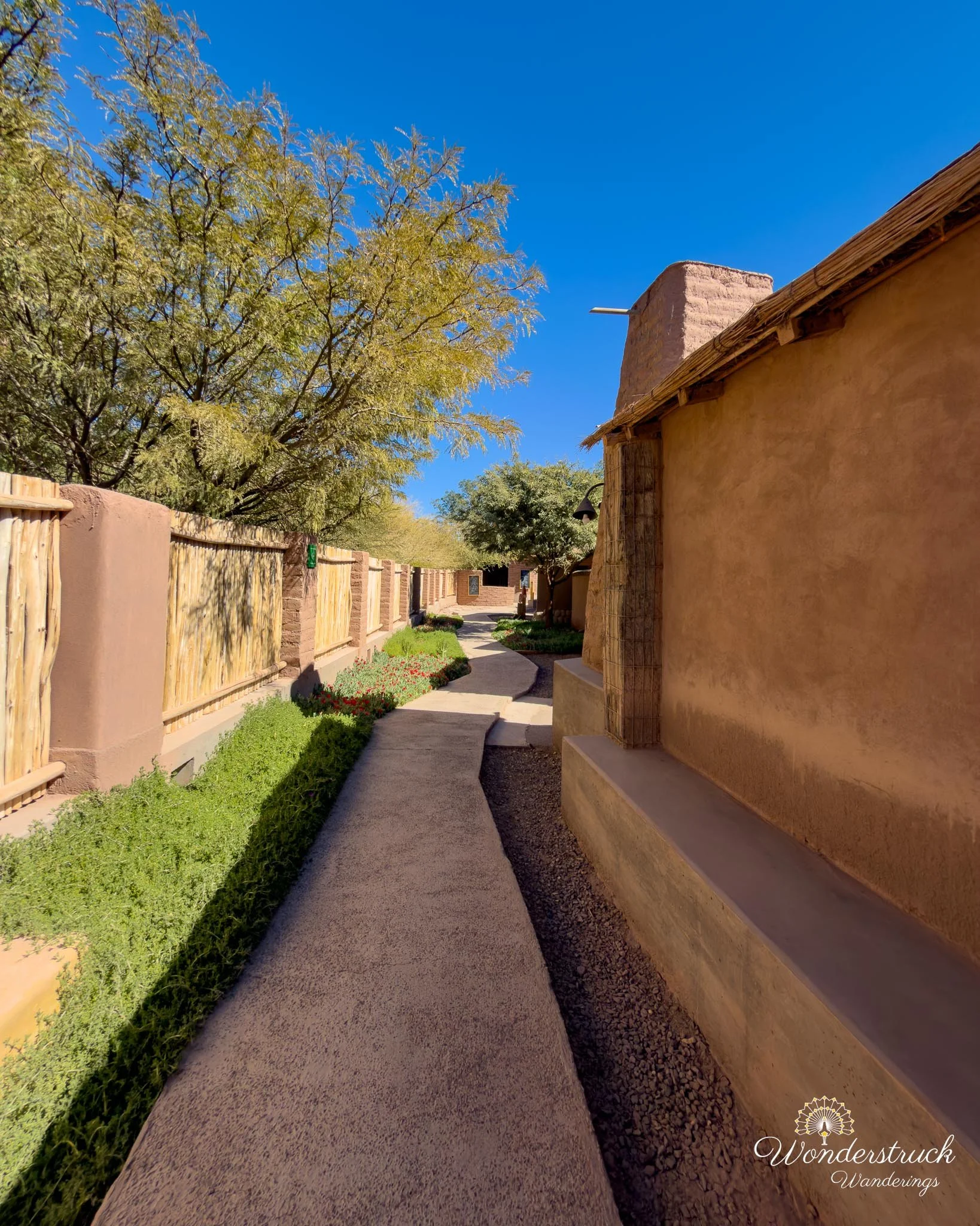
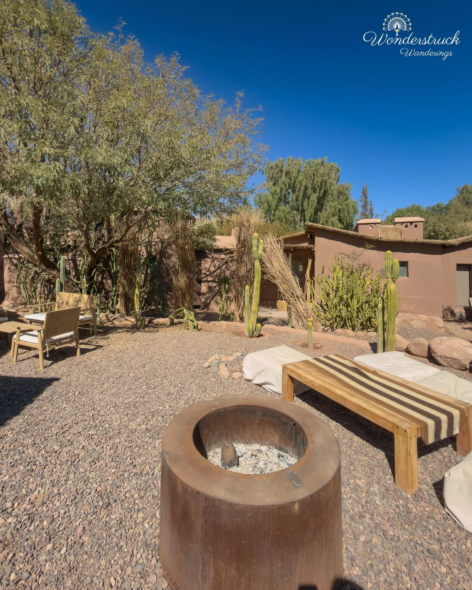
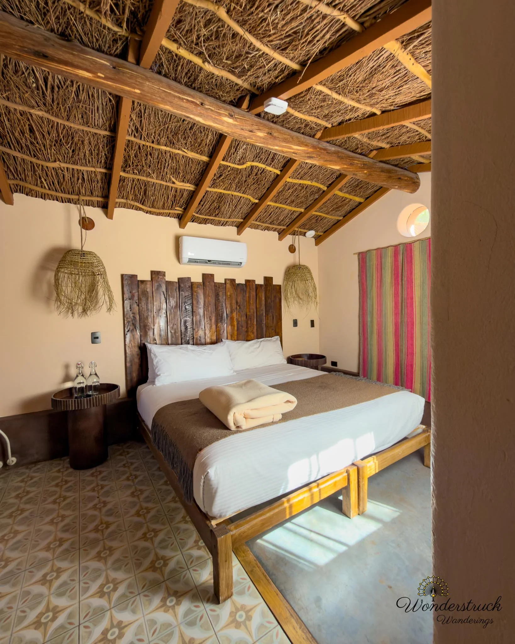
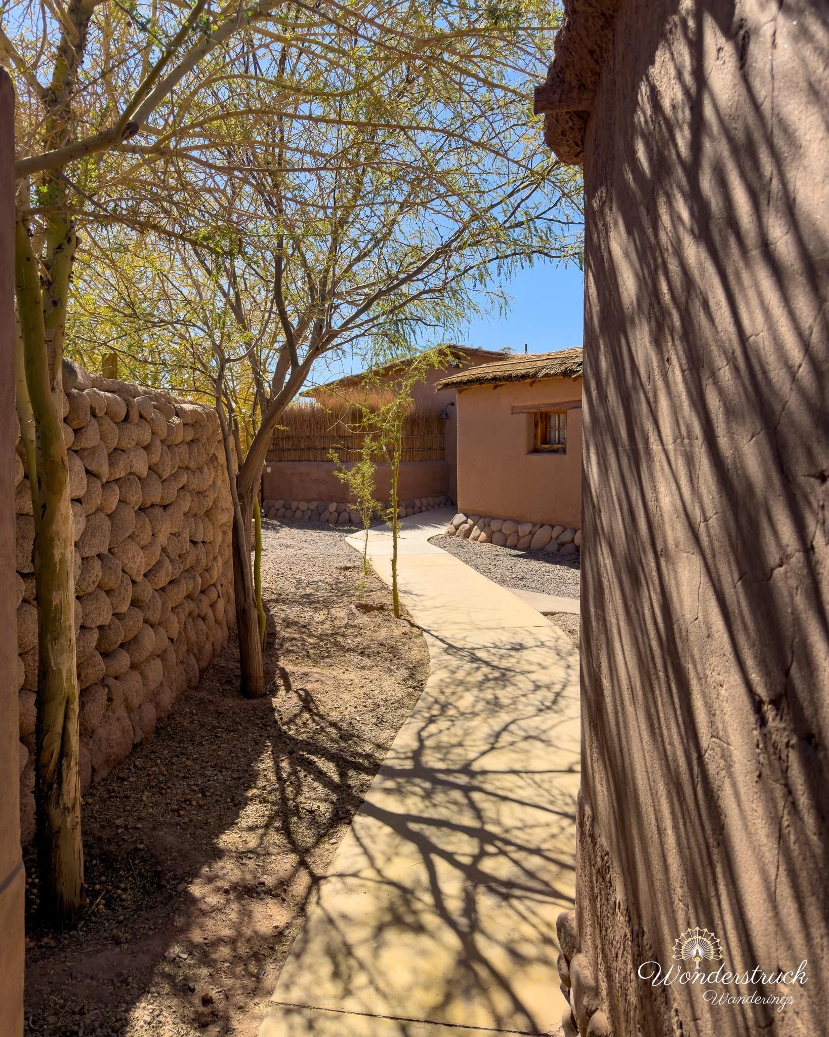
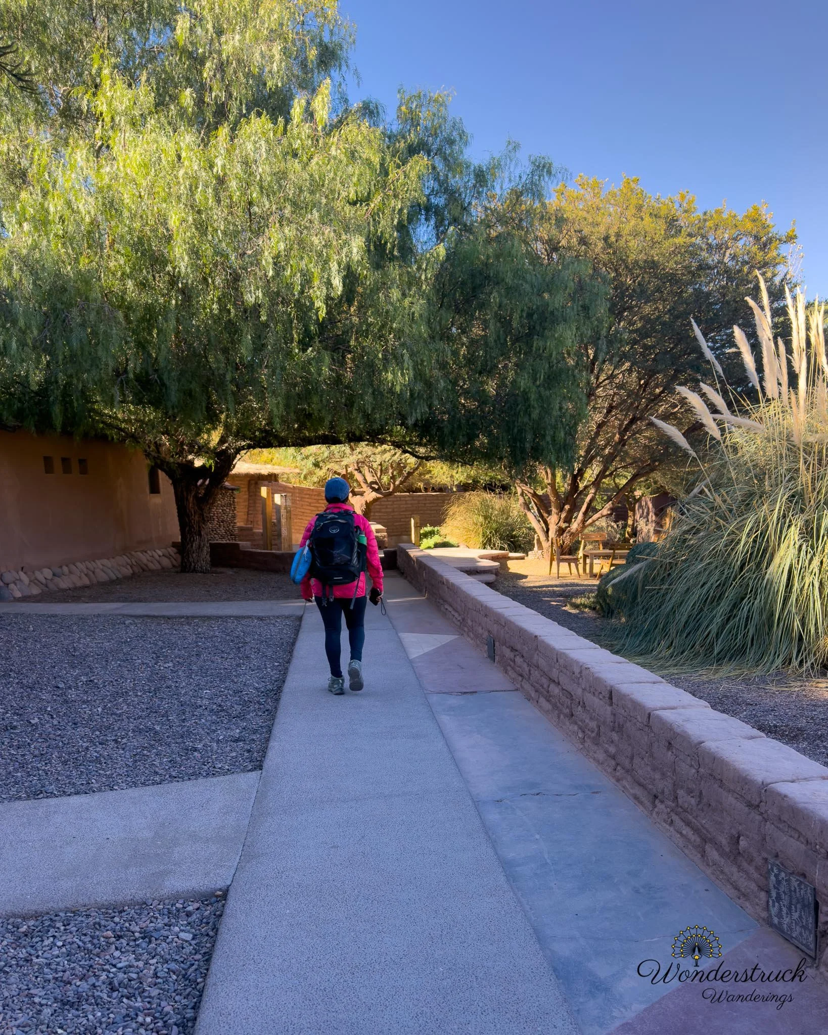
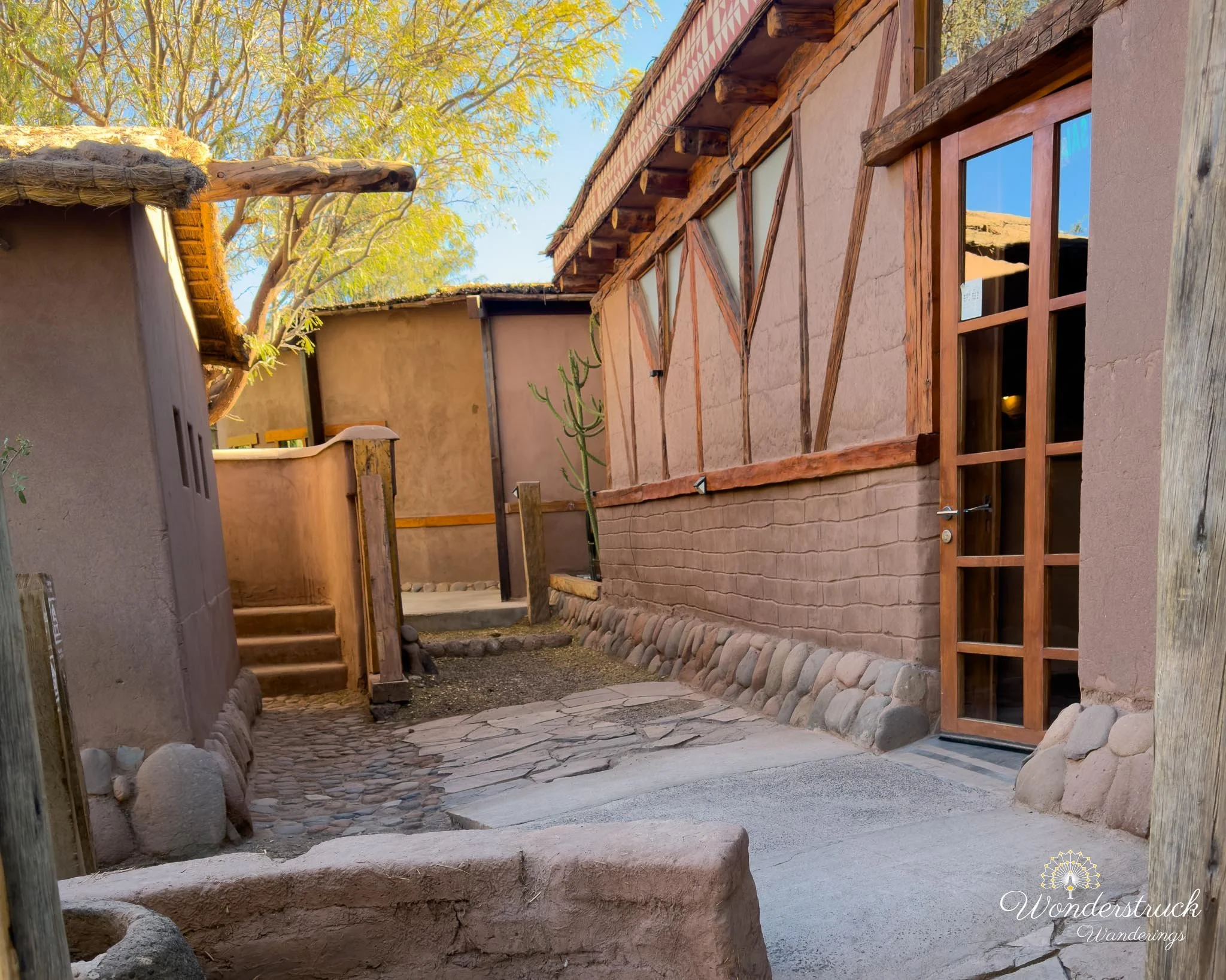
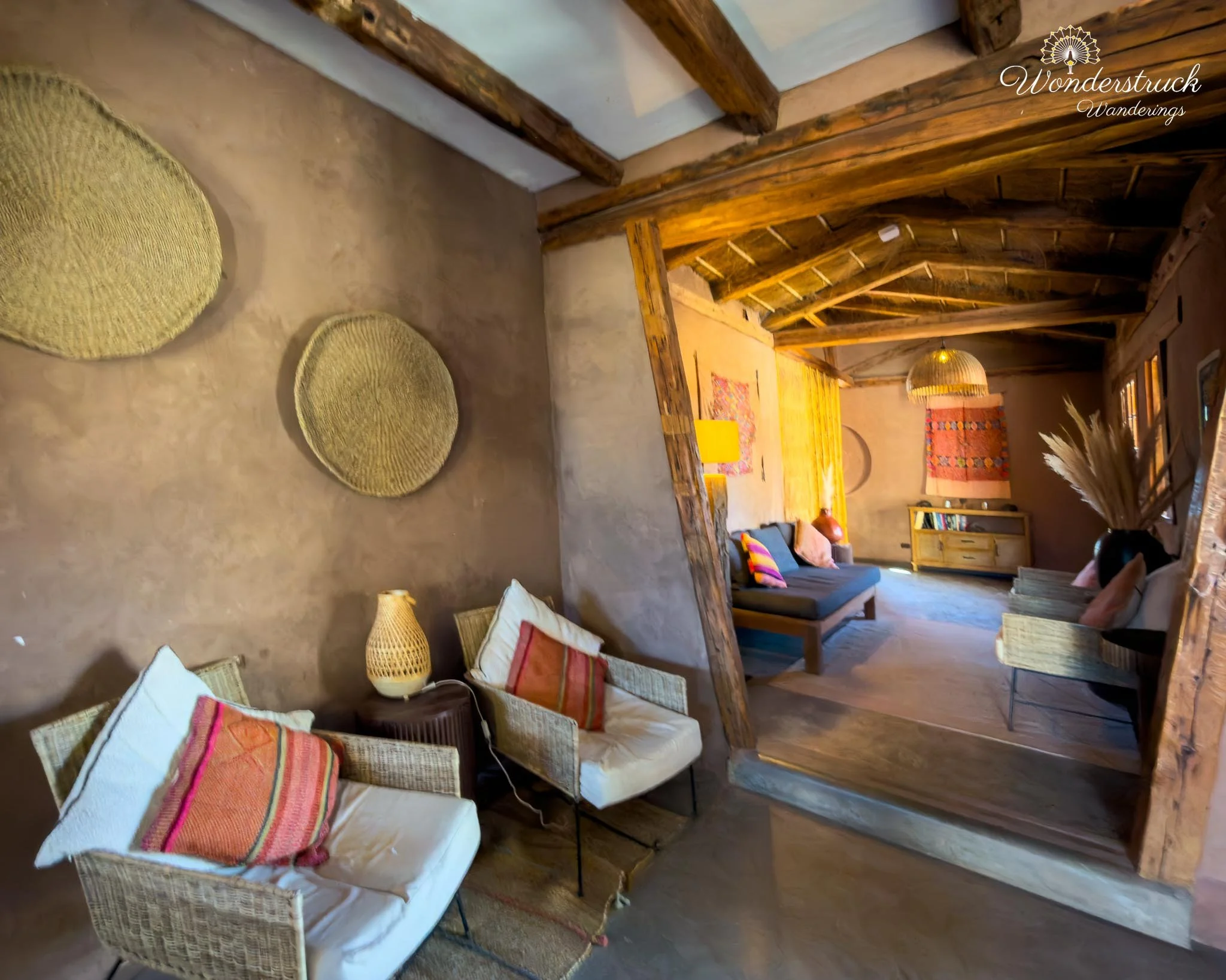
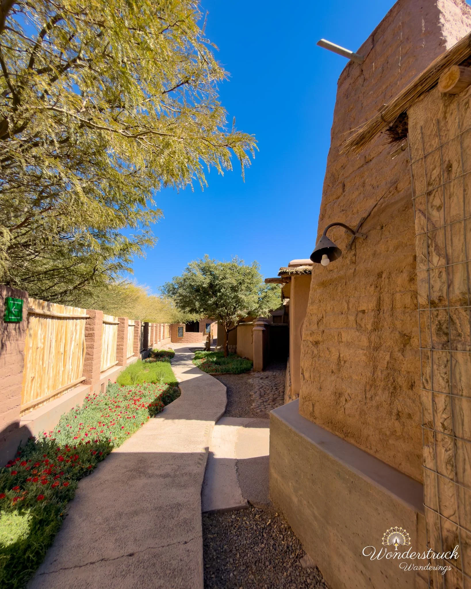
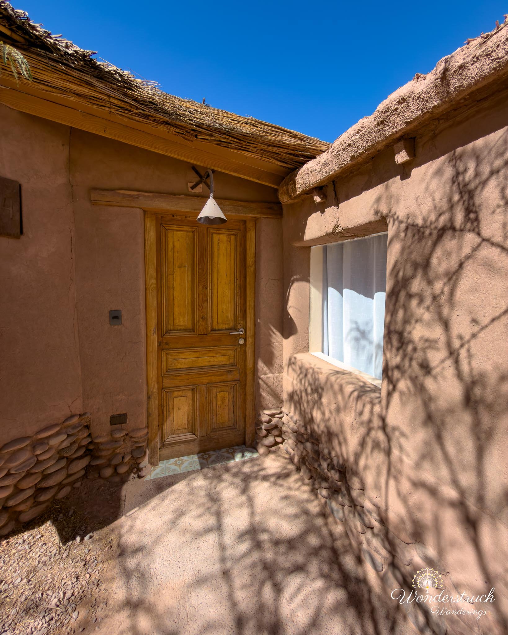
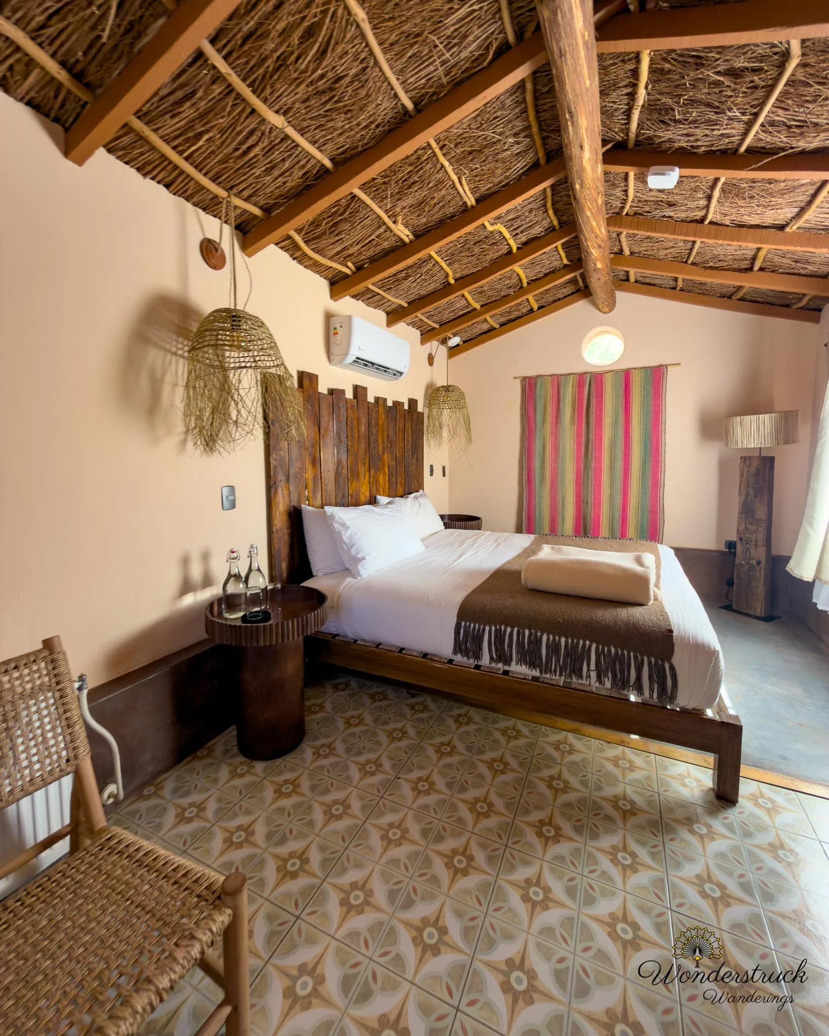
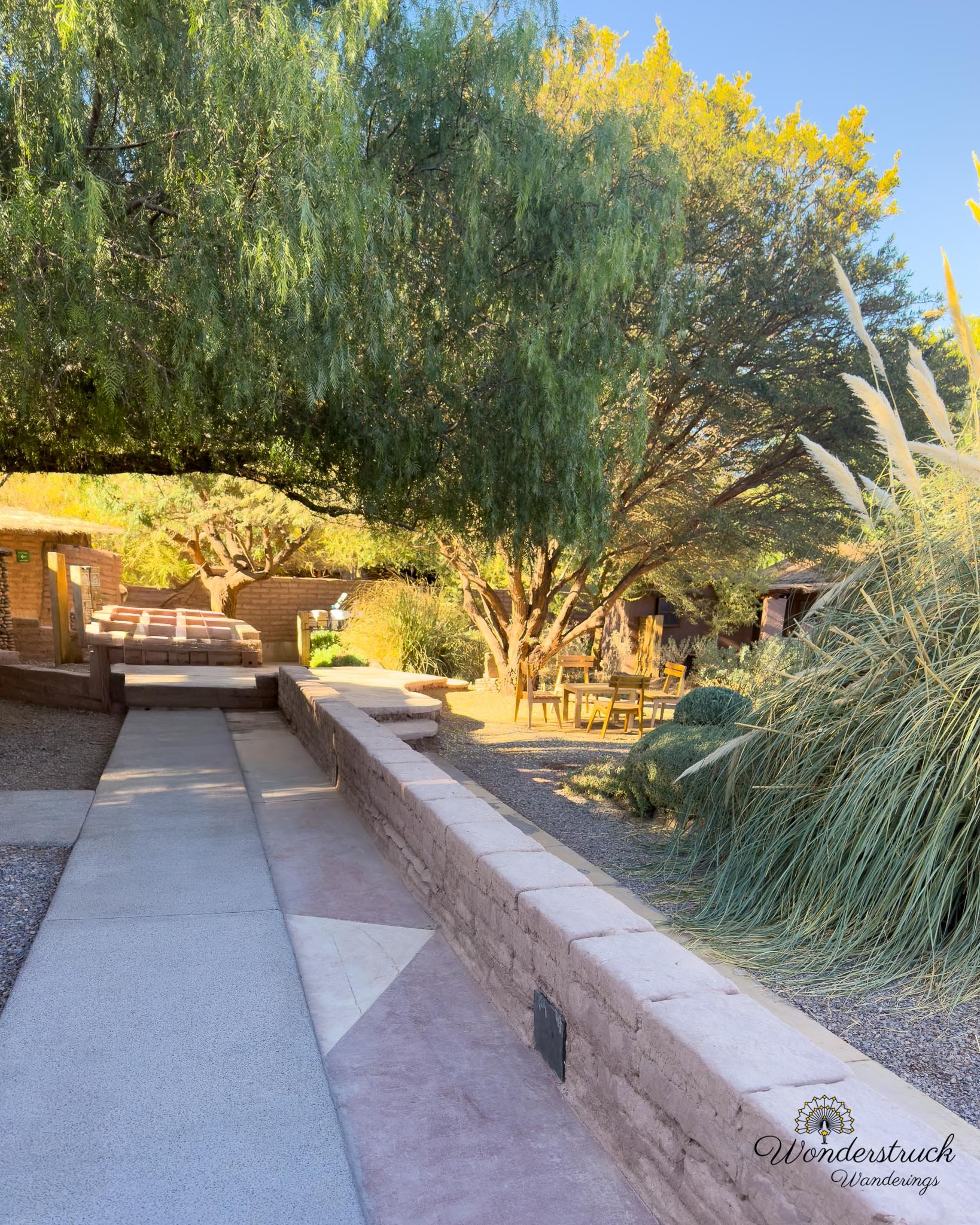
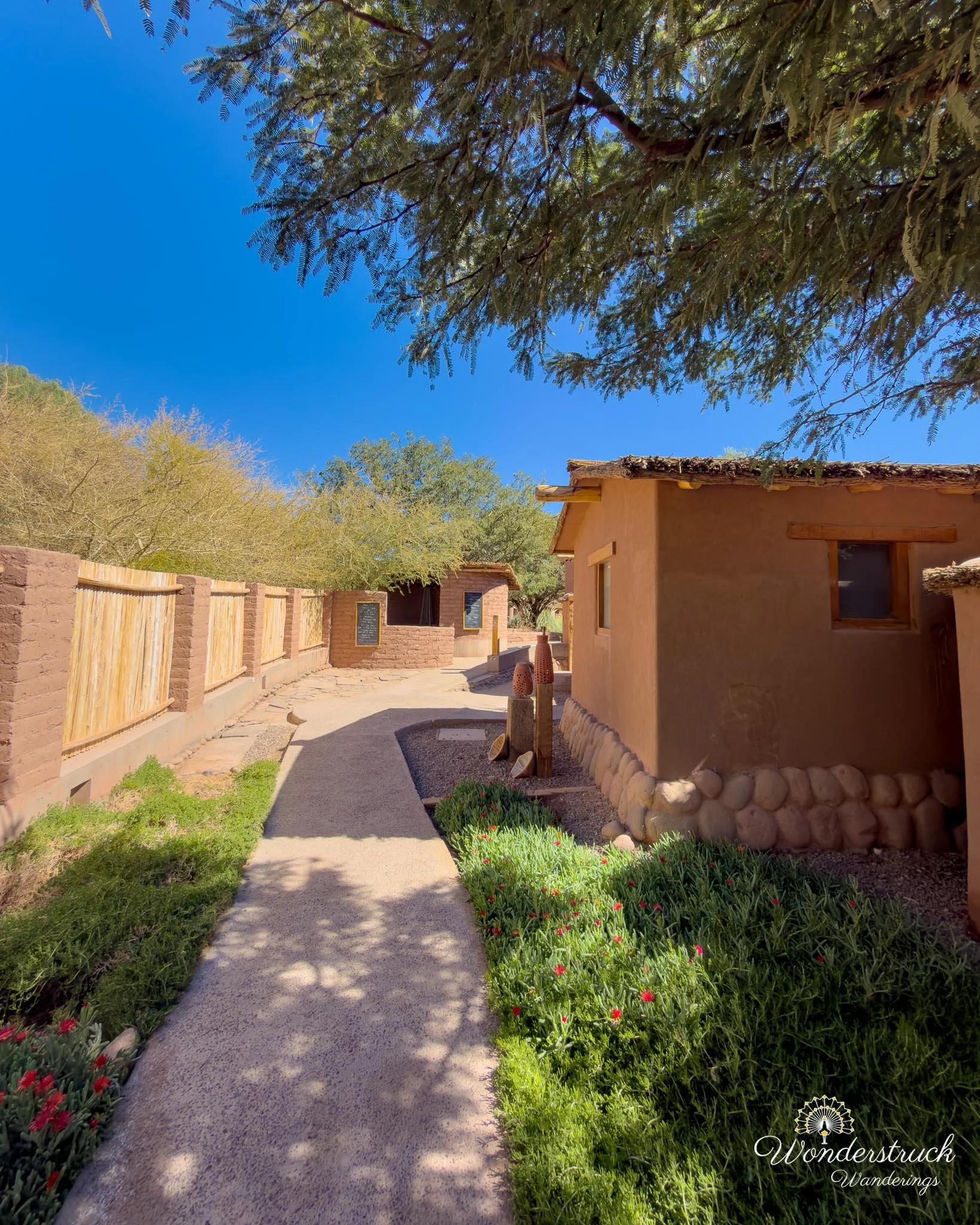
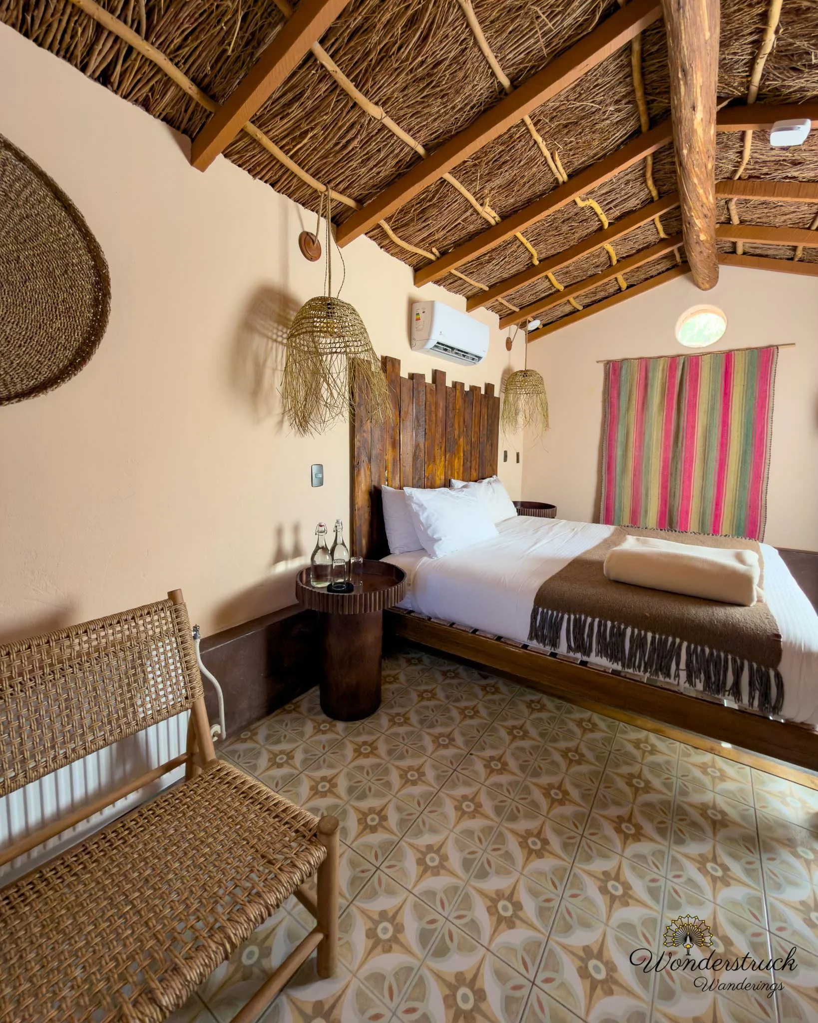
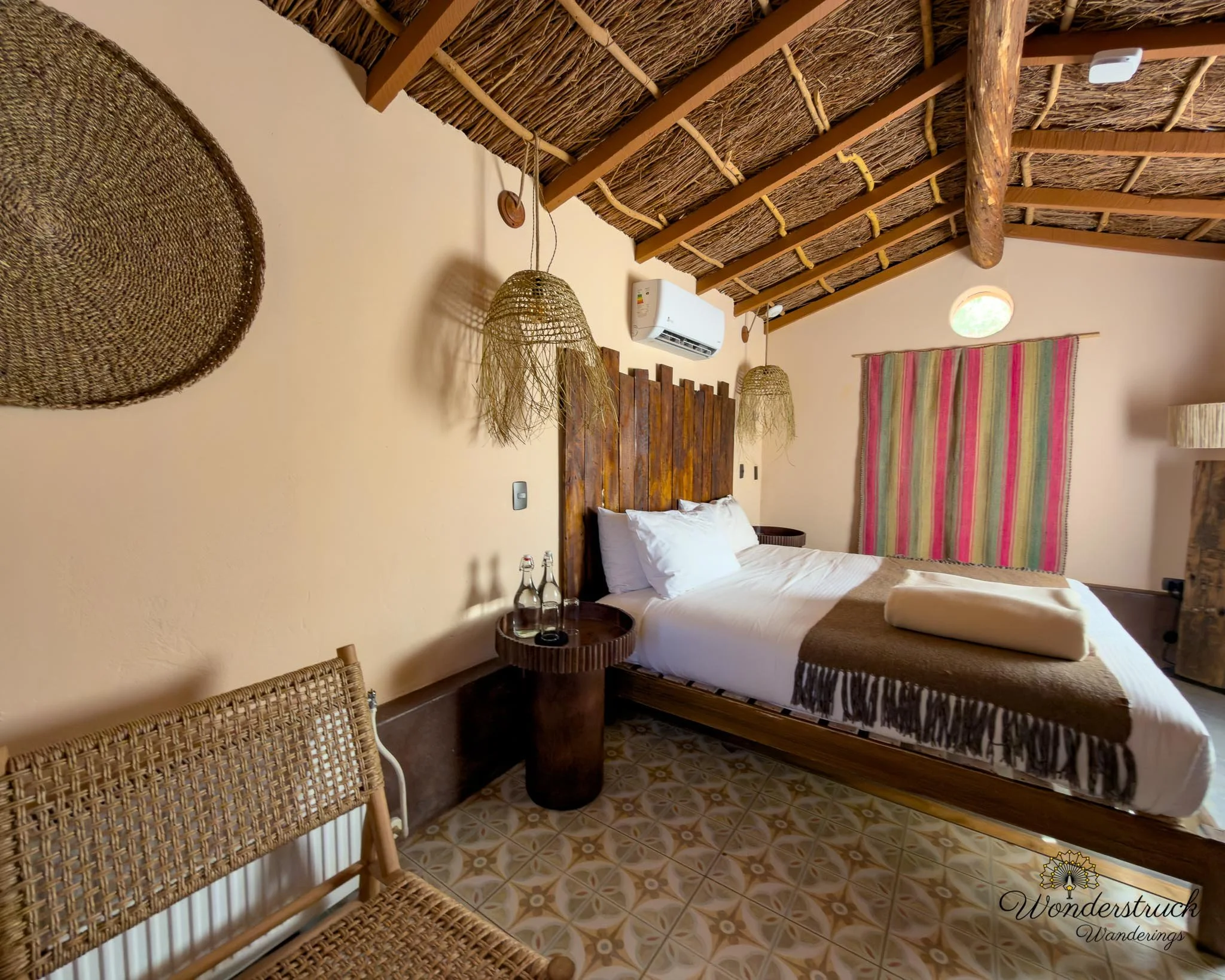
After finishing the walk, we returned to the hotel for a full shower, which felt less like a luxury and more like a medical necessity after the salt. Back at Our Habitas, we also took a little time to explore the hotel's design, artwork, and construction details. Once clean and reset, we walked into town for lunch. We had heard about La Franchuteria from several people and decided it was time to check it out. It is a little out of the way from the hotel, about a 12- to 15-minute walk for us, but that ended up being a good thing because it let us explore more of San Pedro's side streets and shops. The place had the kind of relaxed, slightly hidden atmosphere that makes you immediately understand why people recommend it. Shay ordered a four-cheese sandwich with mango juice. I went with a serrano ham sandwich on a half baguette with pesto and mayo, minus the cheese and fresh leaves, along with a cappuccino. The bread was the star, as it should be in a place like this. We also ordered takeout for the next morning: chocolate croissants and cheese-and-ham croissants, because Day 4 would be El Tatio and that meant a very early wakeup. On the way back, we stopped at Helados Artesanales Babalu, where Shay got a lemon rica-rica ice cream. Rica-rica is one of those flavors that instantly feels tied to the Atacama - herbal, bright, desert-specific, and a little unexpected if you have not had it before. The lemon made it even sharper and more refreshing. After salt, sun, and a heavy sandwich, it was exactly the right stop.
Ruta 27: Licancabur, Quepiaco, Pacana, Tara, and Quisquiro
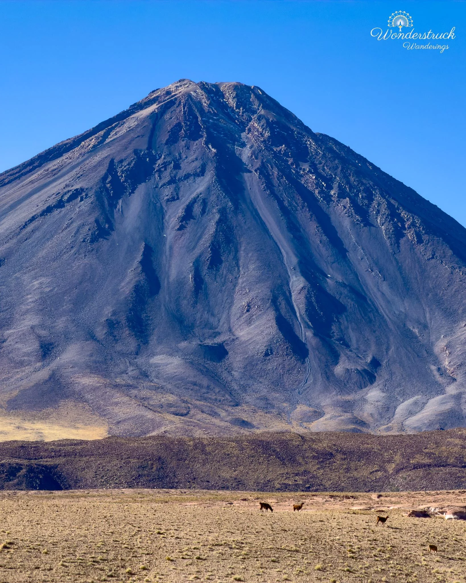
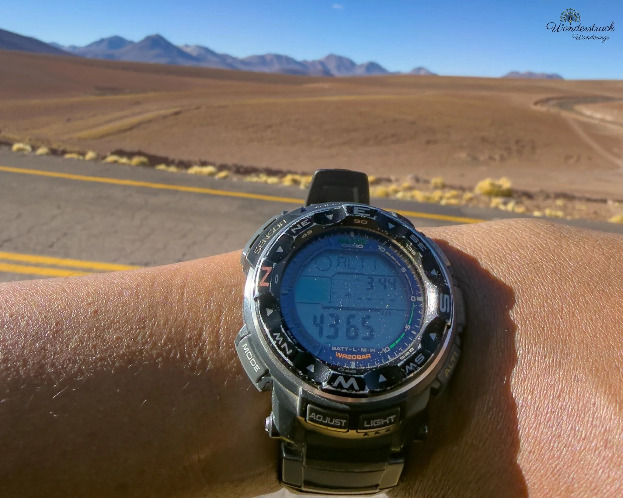
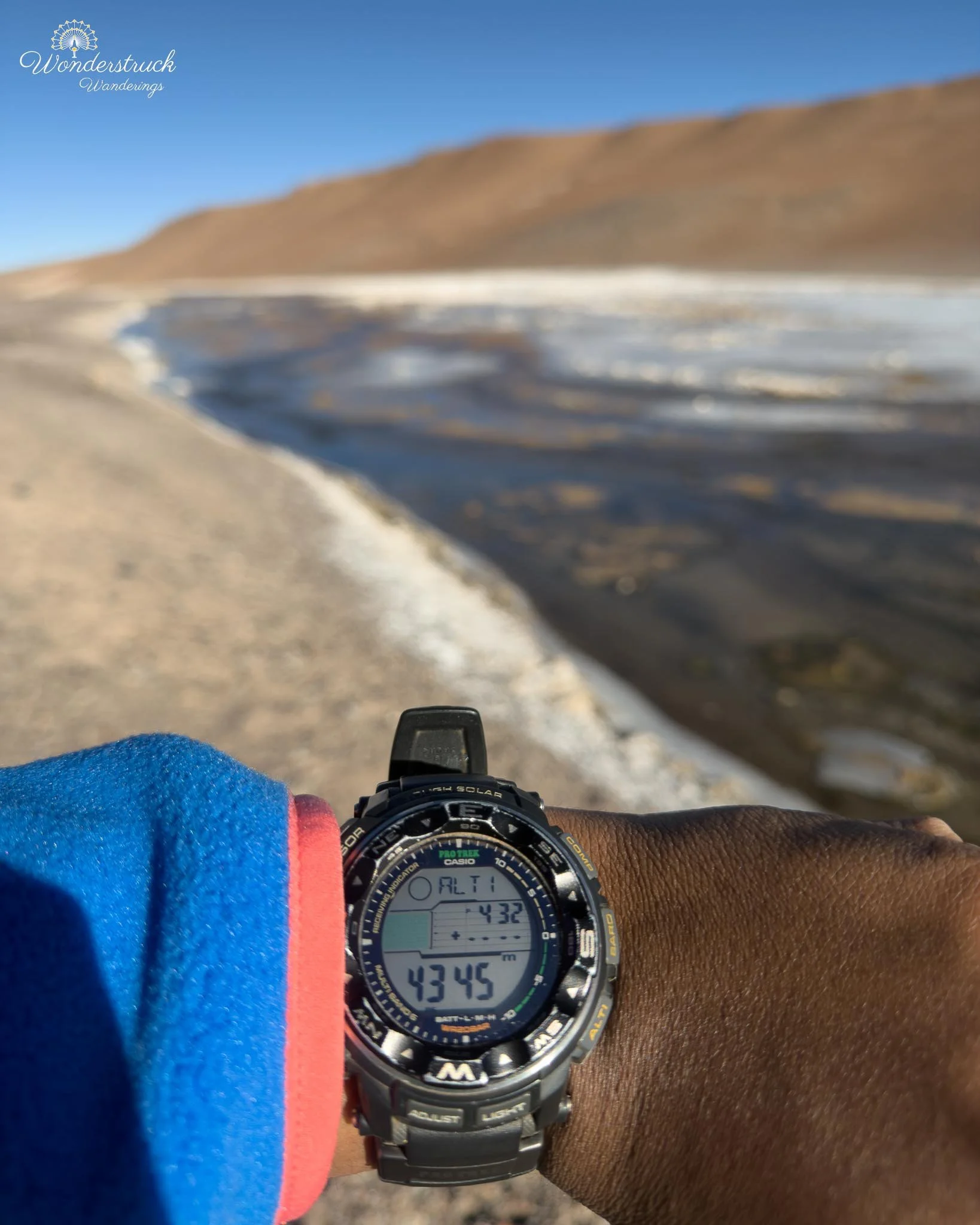
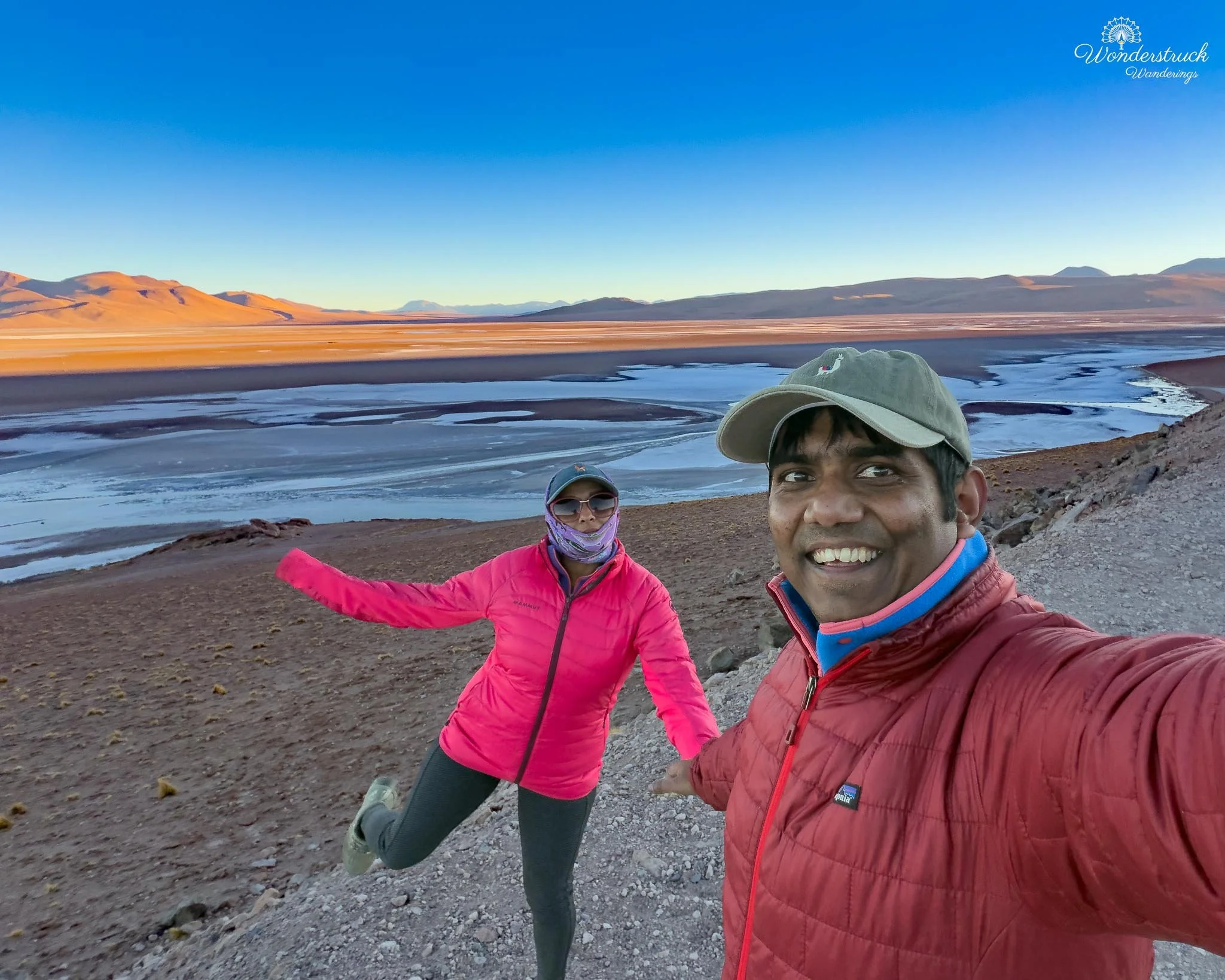
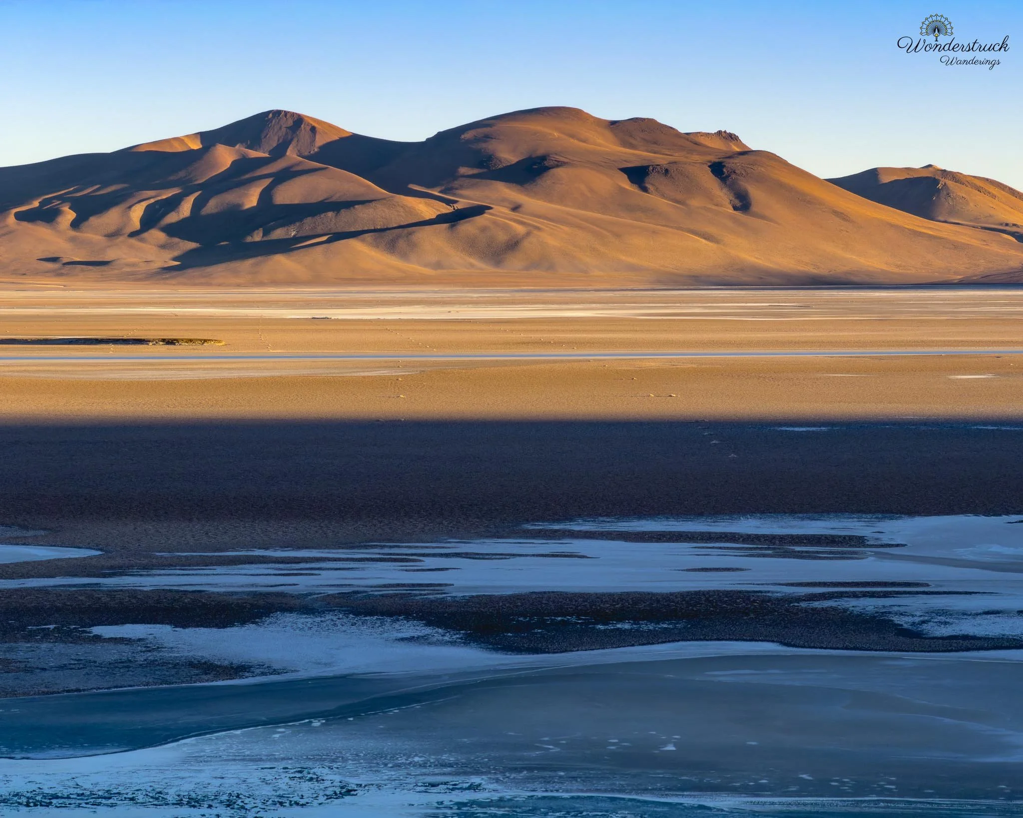
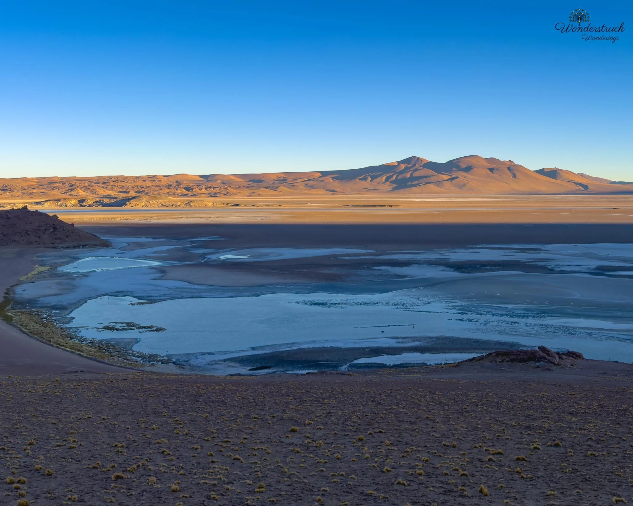
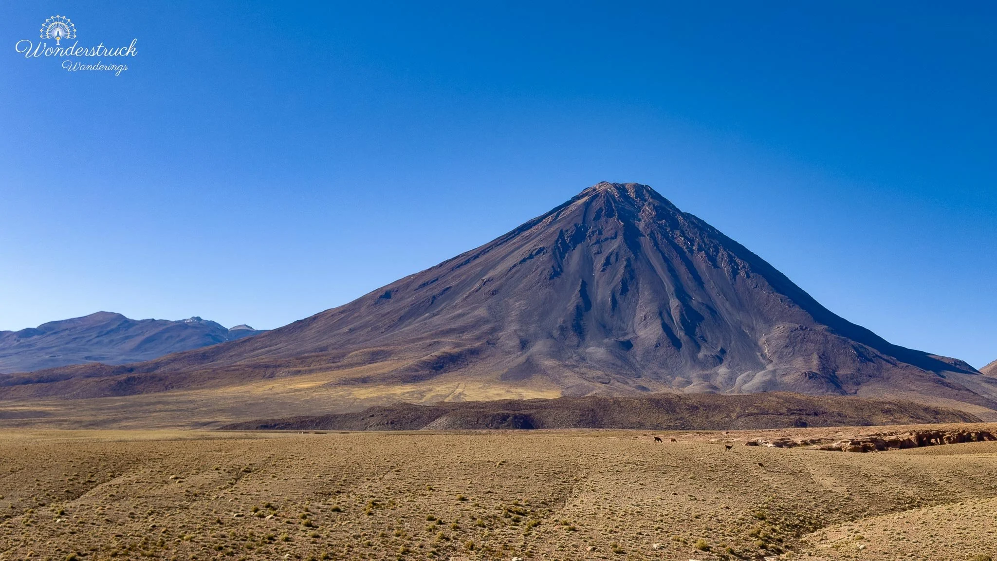
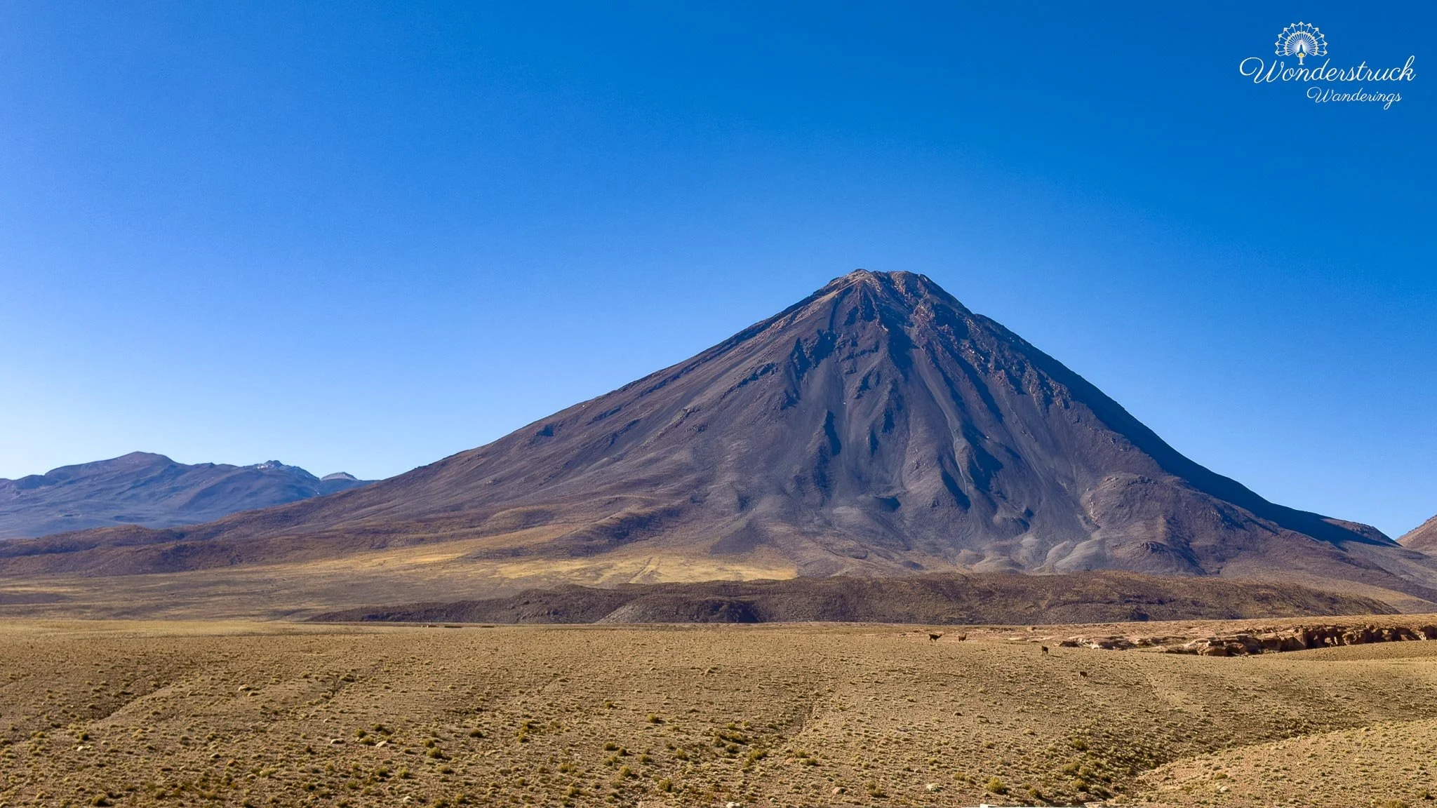
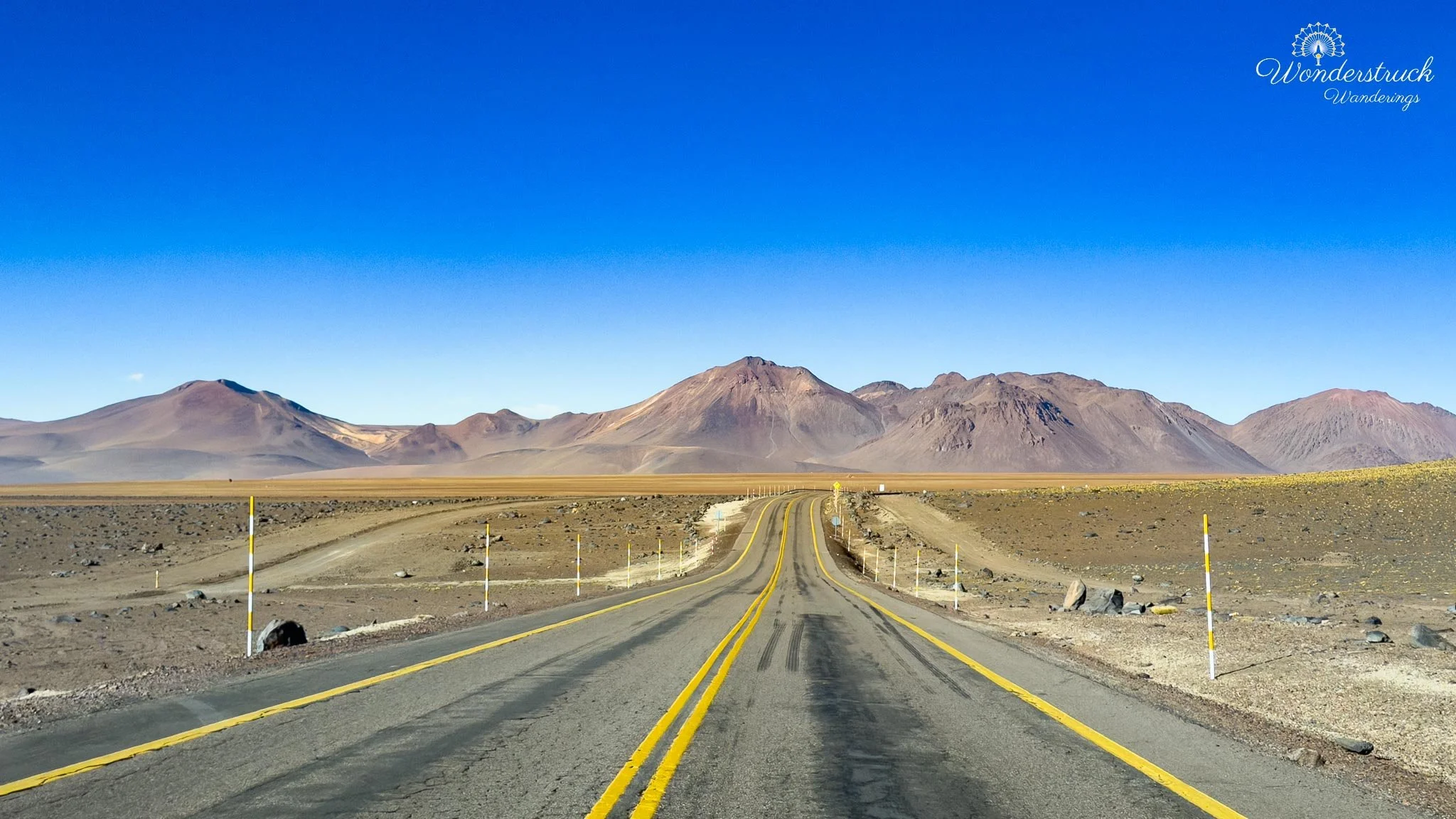
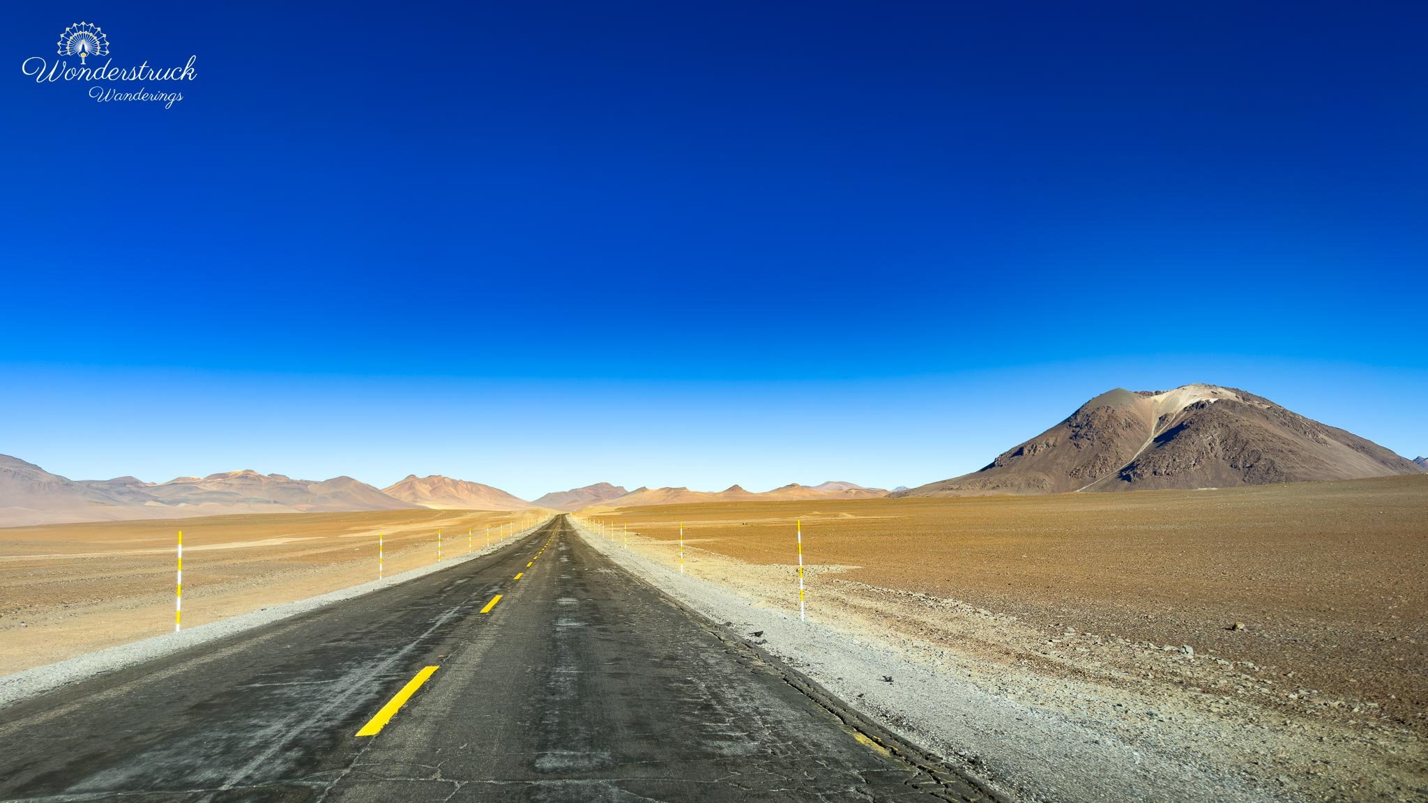
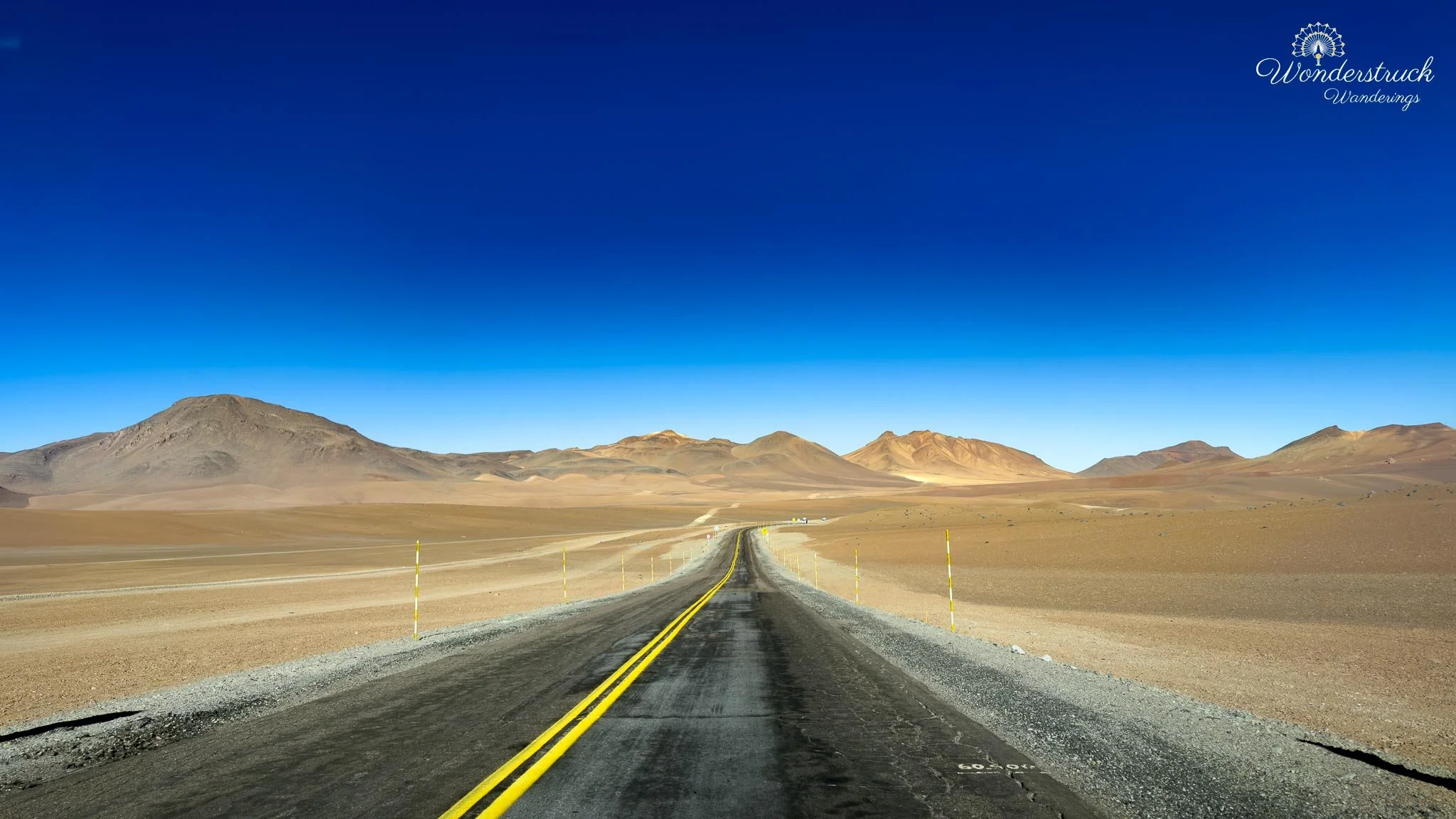
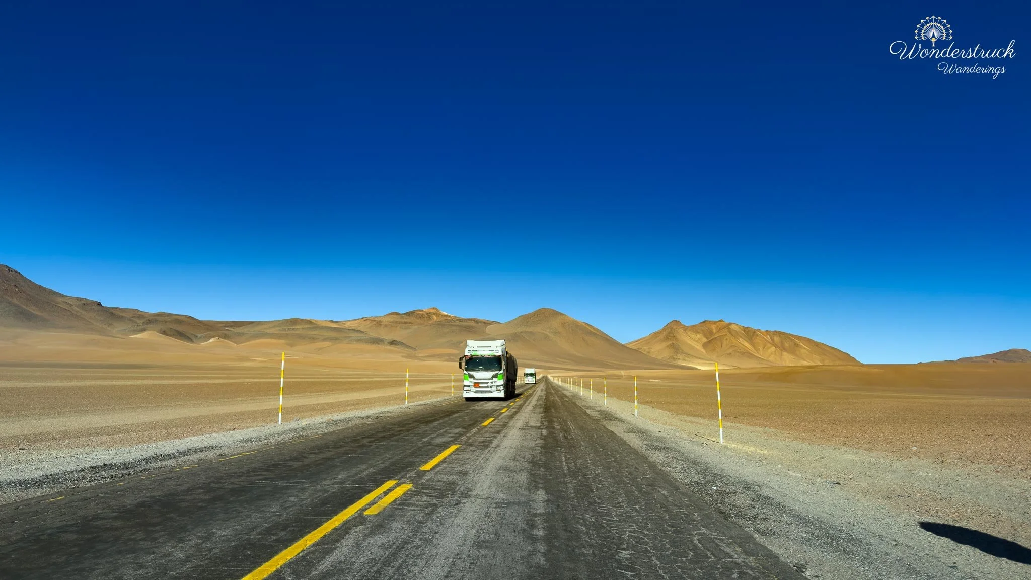
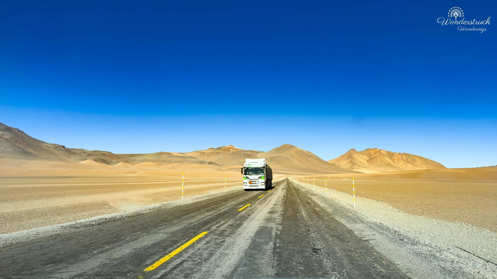
We returned to the room, put the next morning's food in the fridge since the room could get warm during the day, and then prepared for our afternoon drive along Ruta 27 — the paved international road that runs east from San Pedro de Atacama toward Paso de Jama, the border crossing into Argentina. The full route is about 156 kilometers from San Pedro to the pass, and while Paso de Jama itself sits around 4,200 meters, parts of Ruta 27 climb even higher before reaching the border. It's one of the great high-altitude drives in northern Chile — not for a single viewpoint, but for how quickly it moves from desert basin to Andean plateau. San Pedro sits around 2,400 meters, so the climb begins from an already-high desert town and quickly turns serious. Within the first 20 to 30 kilometers, the San Pedro basin drops behind, the Cordillera de la Sal flattens into the distance, and Licancabur Volcano takes over the horizon. The landscape shifts from dry basin and open desert into a volcanic corridor of lava slopes, ash-colored ground, exposed ridges, and wide empty sky. This was the first real altitude shift we felt from the car — every time we stepped out, the air was thinner, cooler, and drier. Our first major stop was the Licancabur viewpoint area, roughly 30 kilometers from San Pedro. From here the volcano fills the scene: Licancabur rises to about 5,916 meters, its cone almost perfectly placed above the desert. It's one of the defining volcanoes of San Pedro, visible from town, from Valle de la Luna, from the salt flats, and from the roads heading east — but out here, closer to the Andes, it feels less like scenery and more like a landmark controlling the whole route.
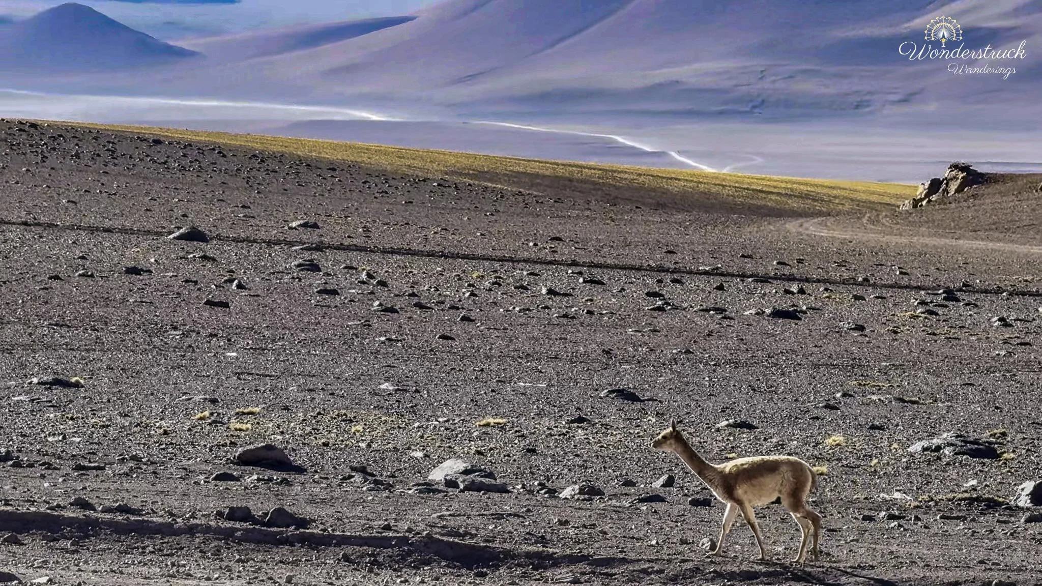
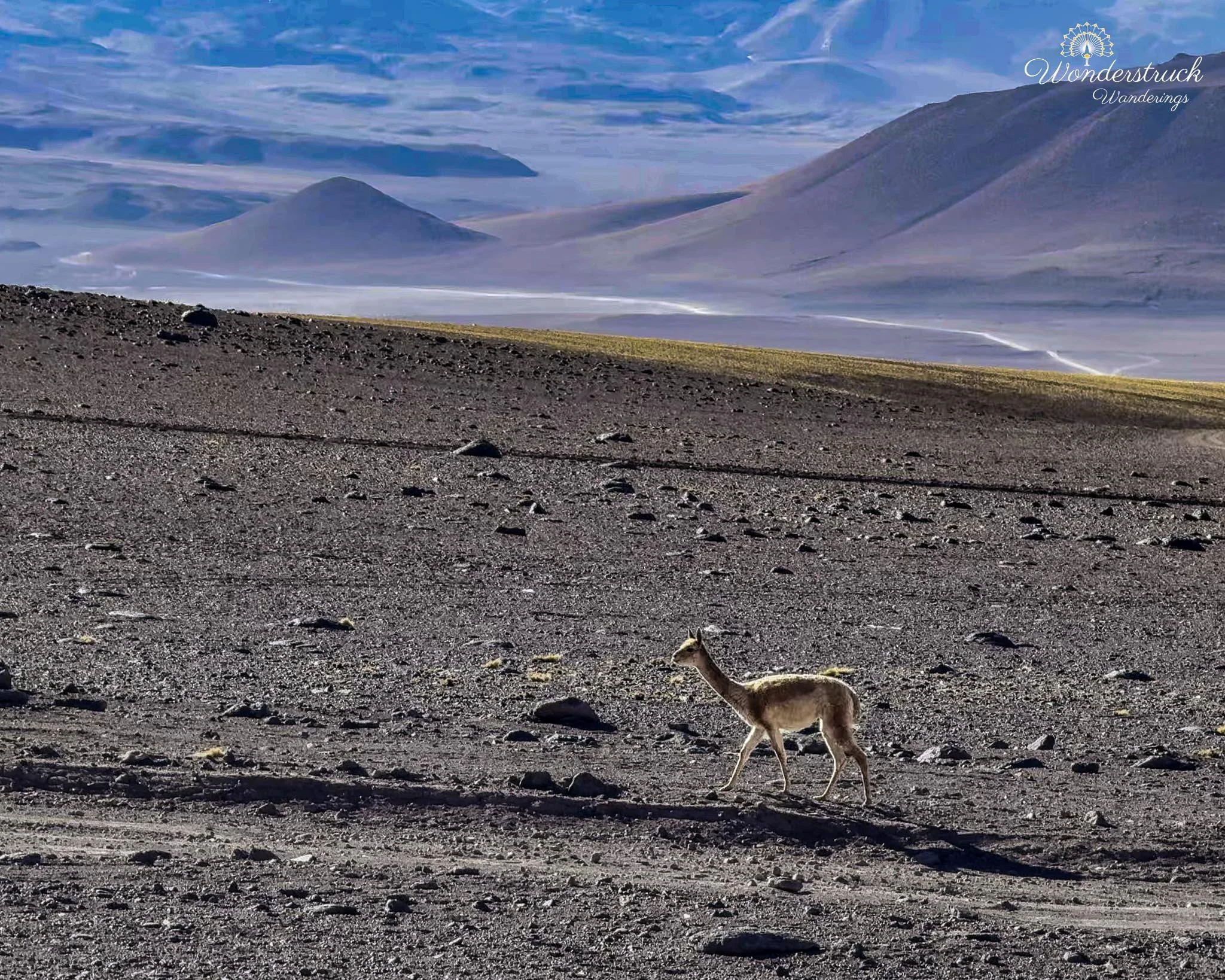
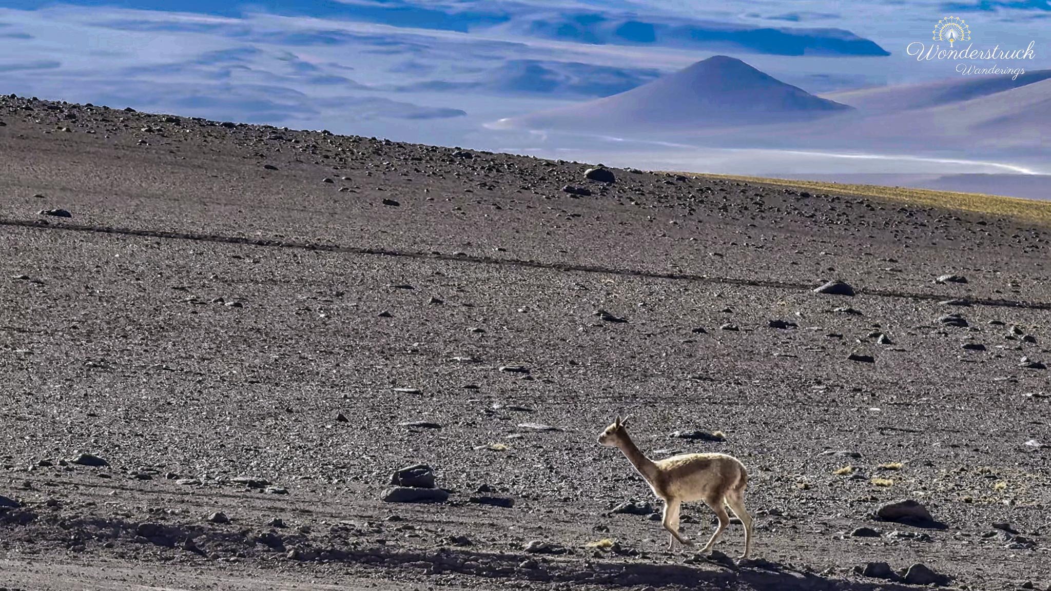
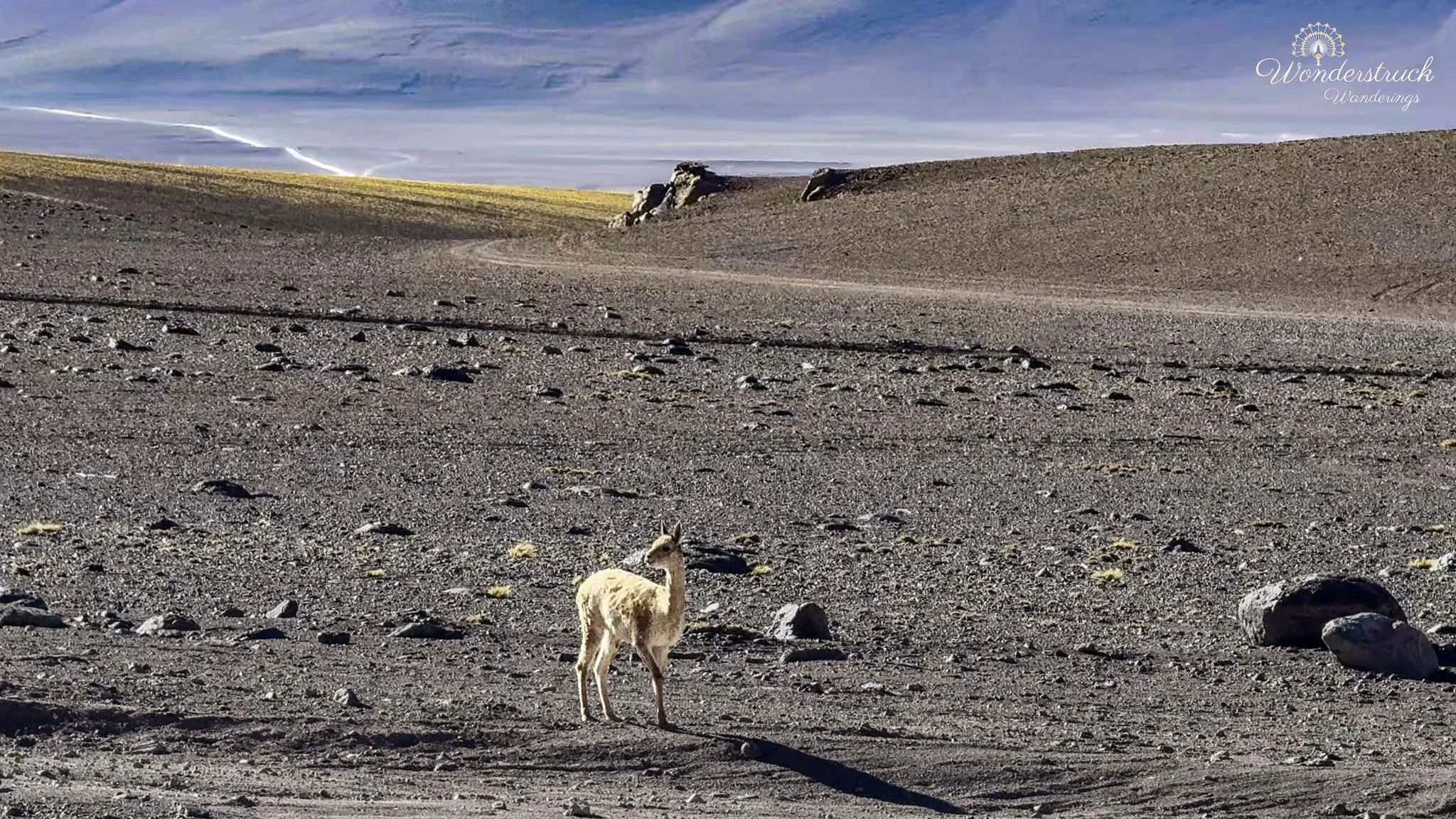
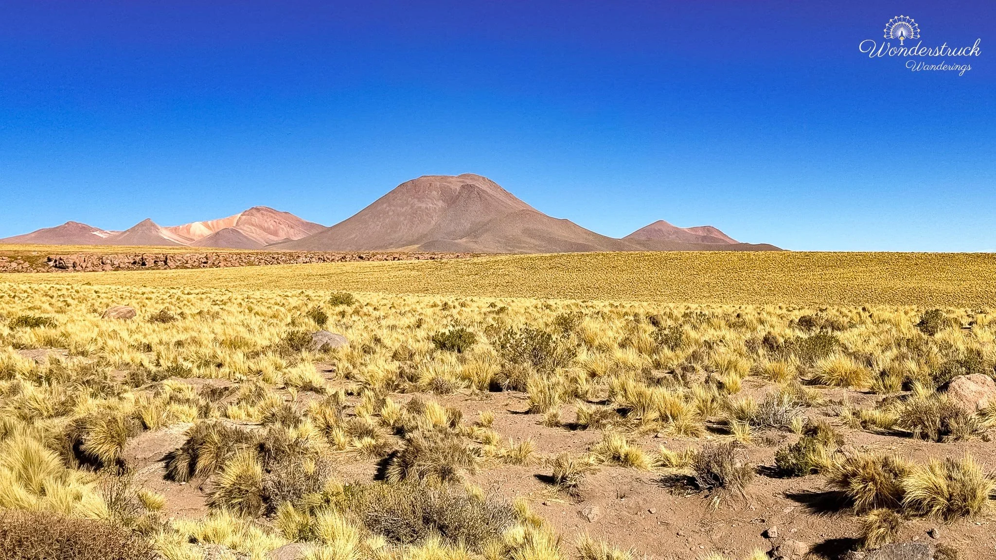
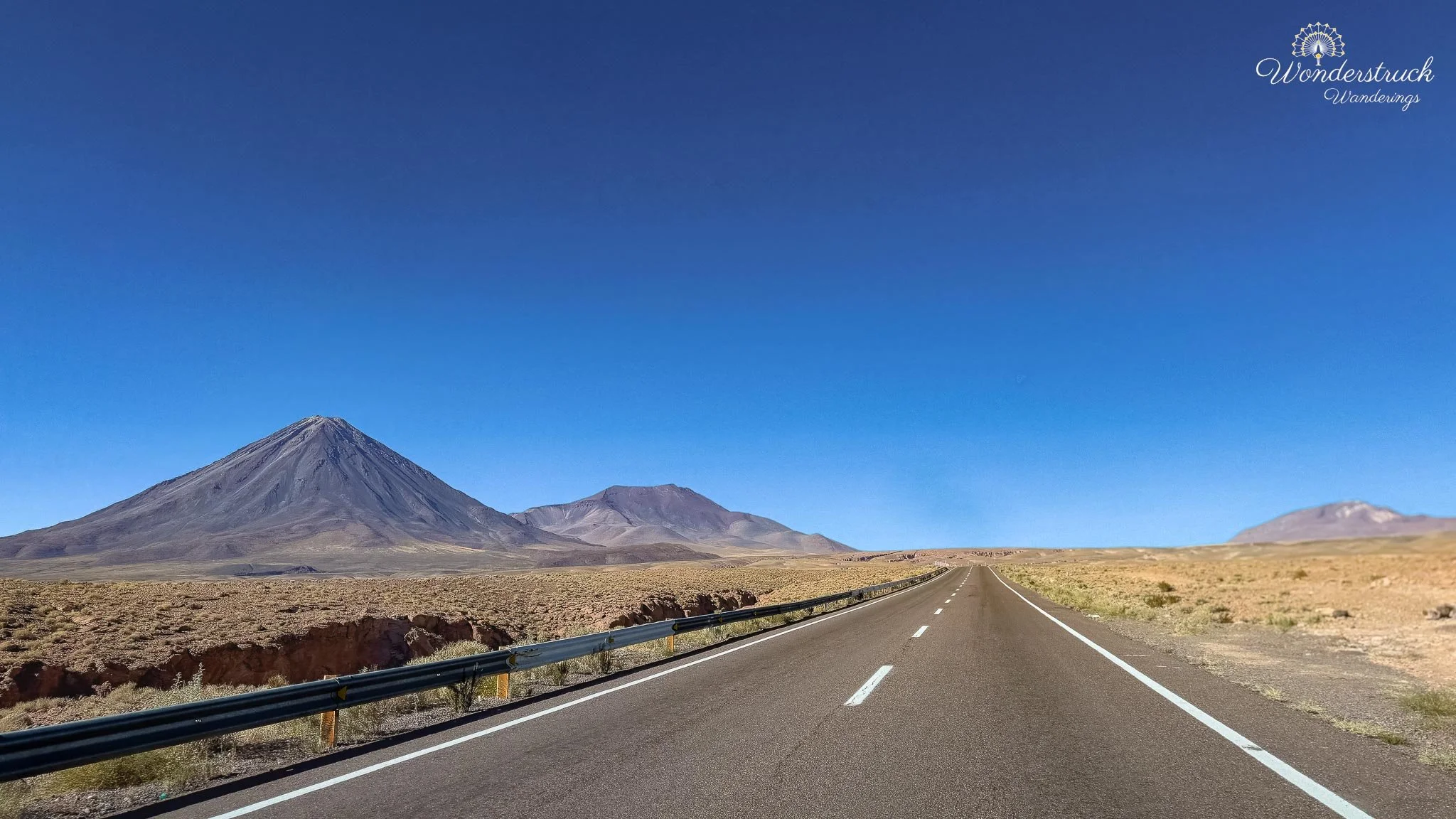
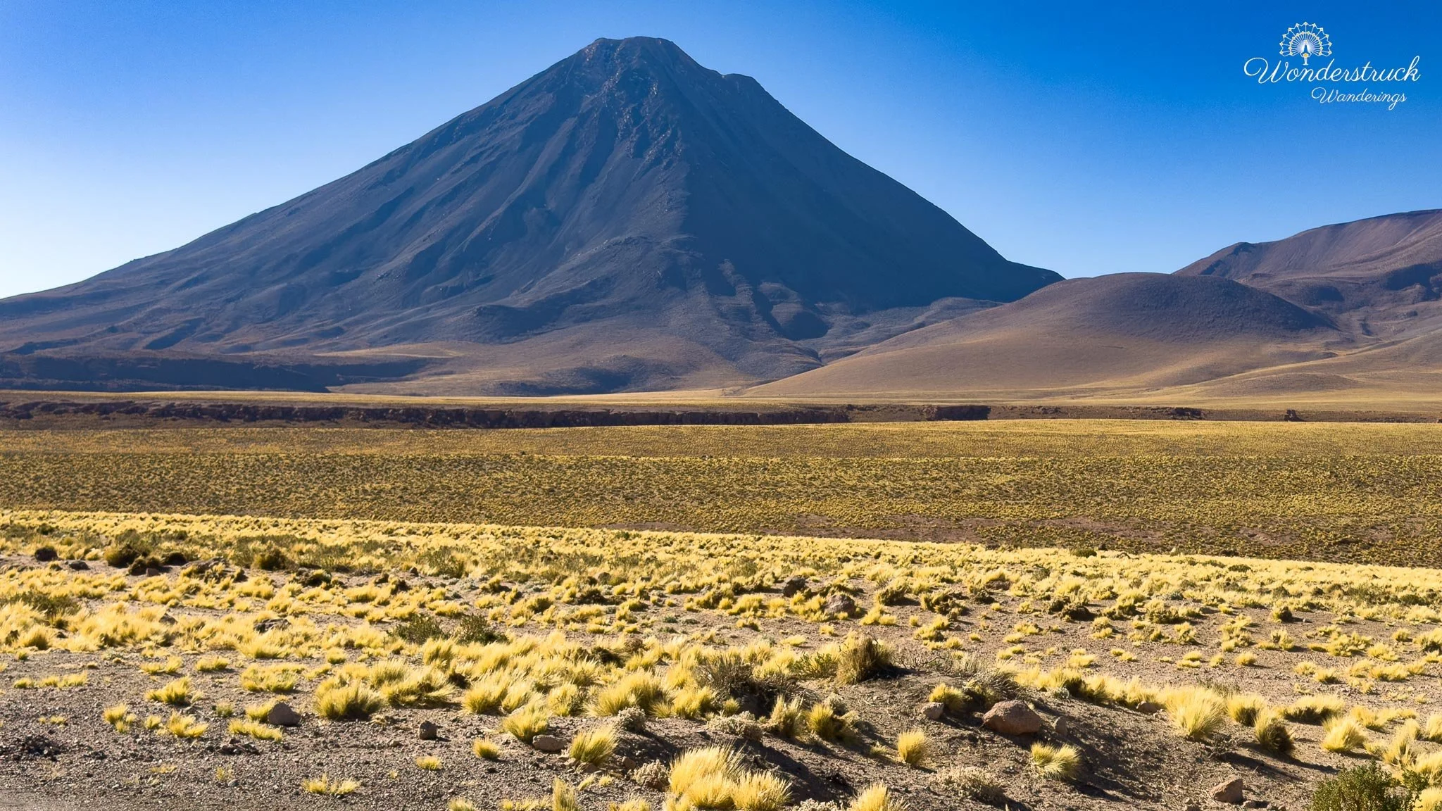
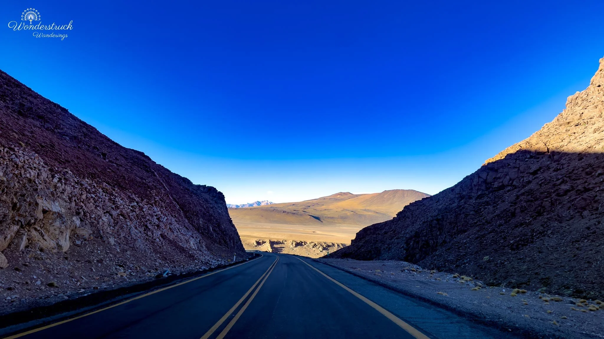
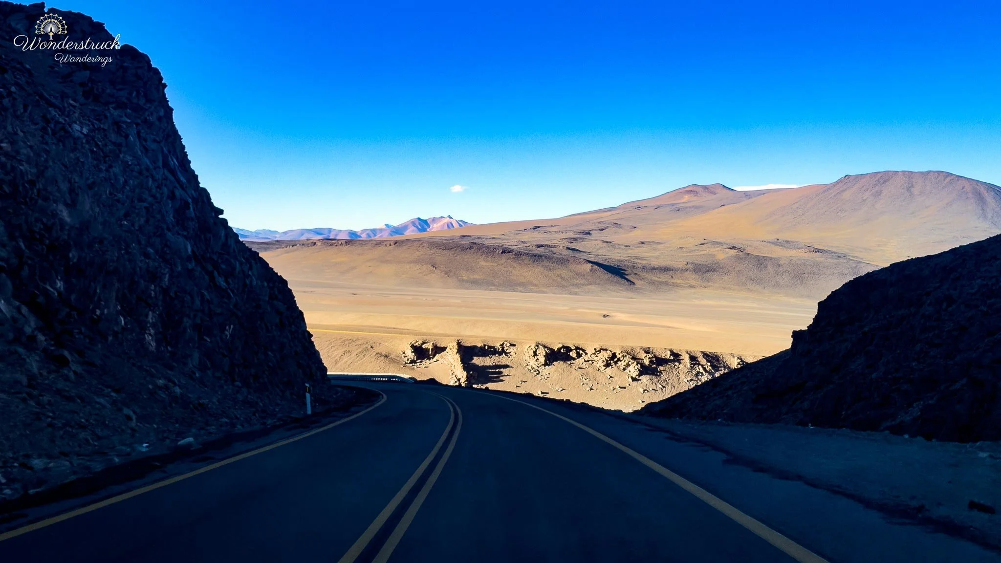
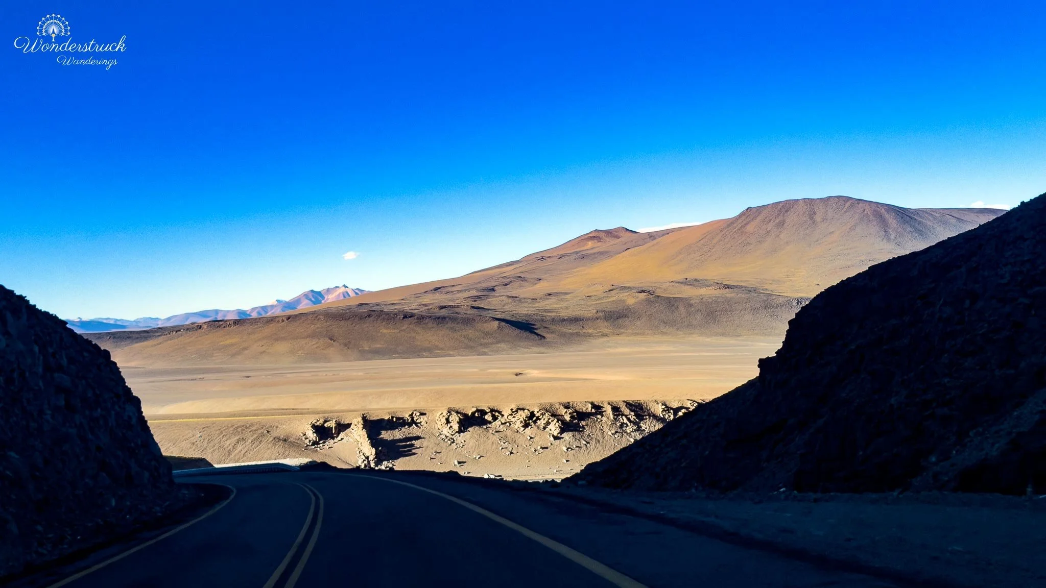
A little farther on, around the 40-kilometer mark, the Hito Cajón turnoff appears — the side route toward the Bolivia border, and the gateway many travelers use to reach the Bolivian high-Andean lagoons and salt flats. It's not a casual detour; it demands the right booking, border logistics, documents, and vehicle arrangements. For us it was just a landmark, but it underscored how strategic Ruta 27 is: not merely a scenic road, but part of a larger Andean border network linking Chile, Argentina, and Bolivia. We kept east, stopping at viewpoints as the road pushed deeper into the high plateau. Around 50 to 60 kilometers out, the landscape opened into wide ravines, volcanic slopes, and high desert flats. The Mirador Quebrada area gave us that classic Atacama sense of scale — a narrow road, a deep cut through the terrain, mountains on every side, almost no visual softness. At this altitude the landscape feels stripped to geology: brown, rust, gray, yellow, pale green in the wetland patches, and occasional blue water where the desert suddenly supports life. Geologically, this stretch is dominated by the high volcanic plateau east of San Pedro — a landscape shaped by ancient eruptions, lava flows, ash deposits, calderas, salt flats, and wind erosion. Rather than one neat mountain range, the scenery comes in layers: volcanic cones, ignimbrite flats, eroded ravines, mineral basins, and wetlands fed by limited high-Andean water. The Atacama here isn't just dry desert — it's a volcanic desert, and Ruta 27 makes that obvious.
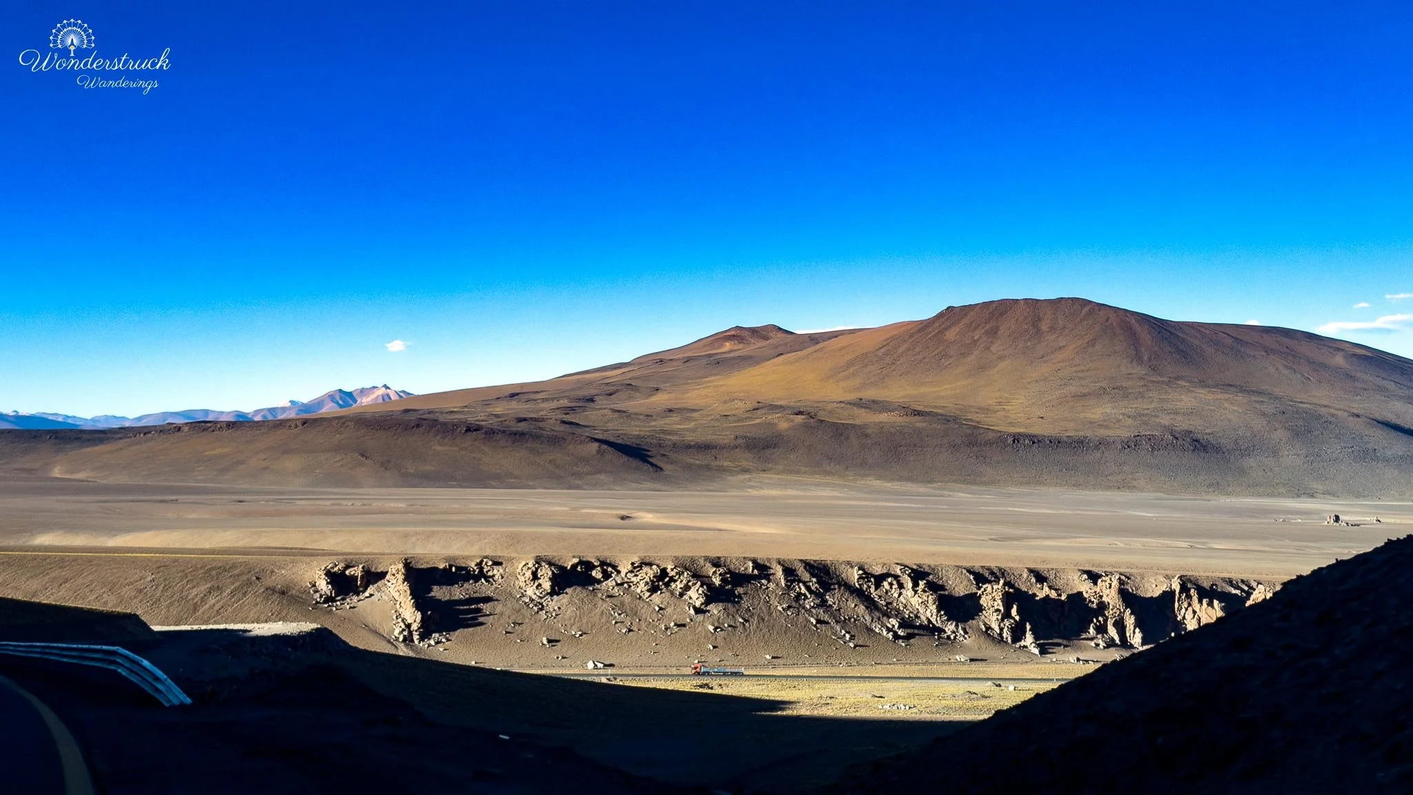
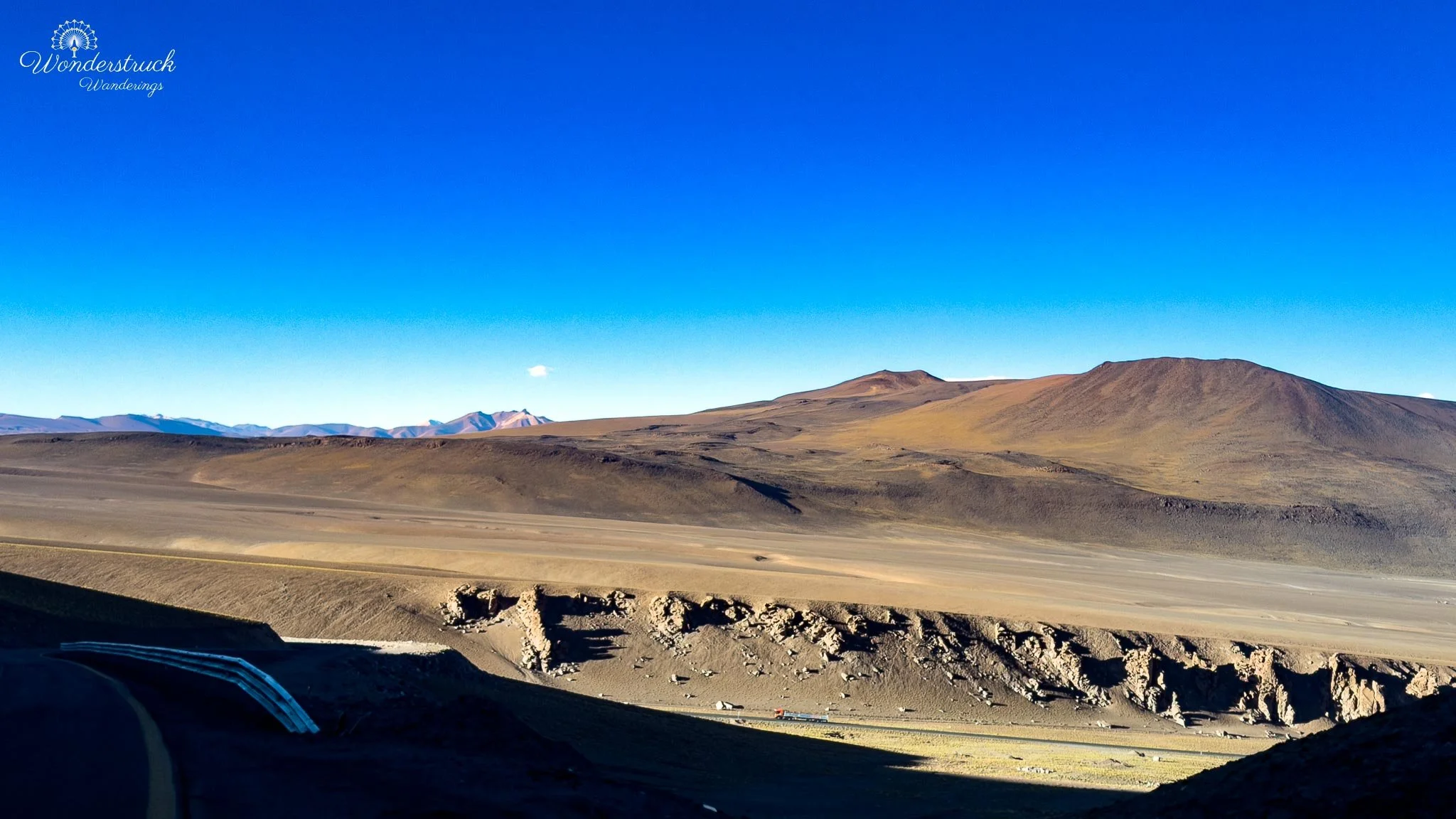
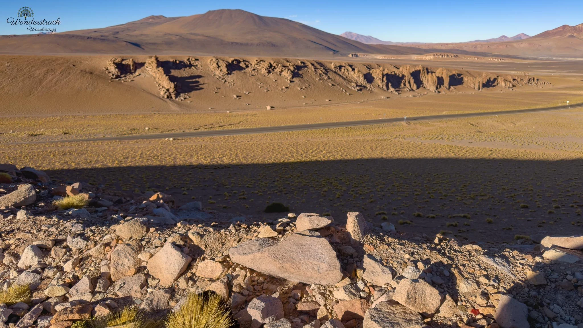
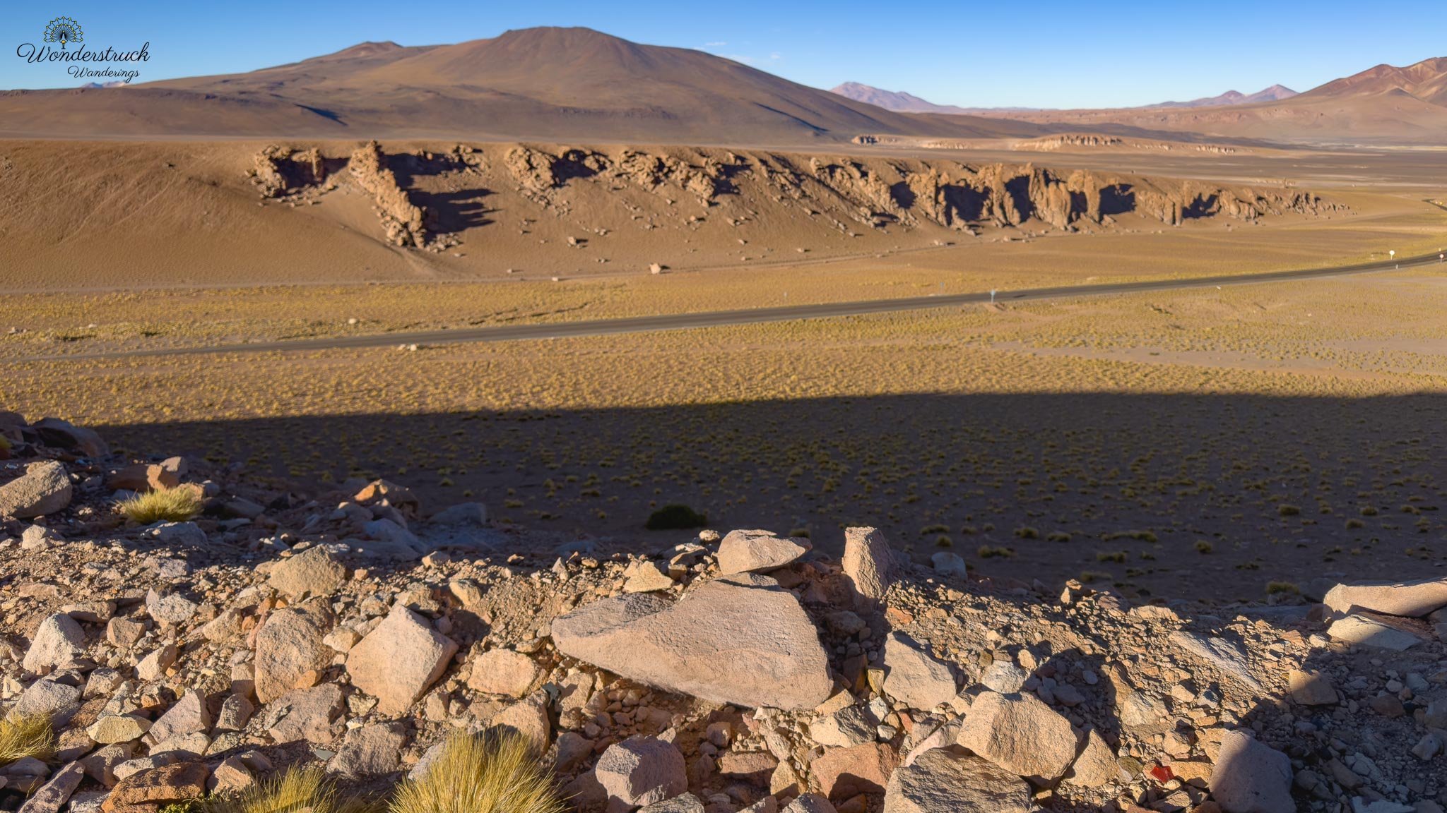
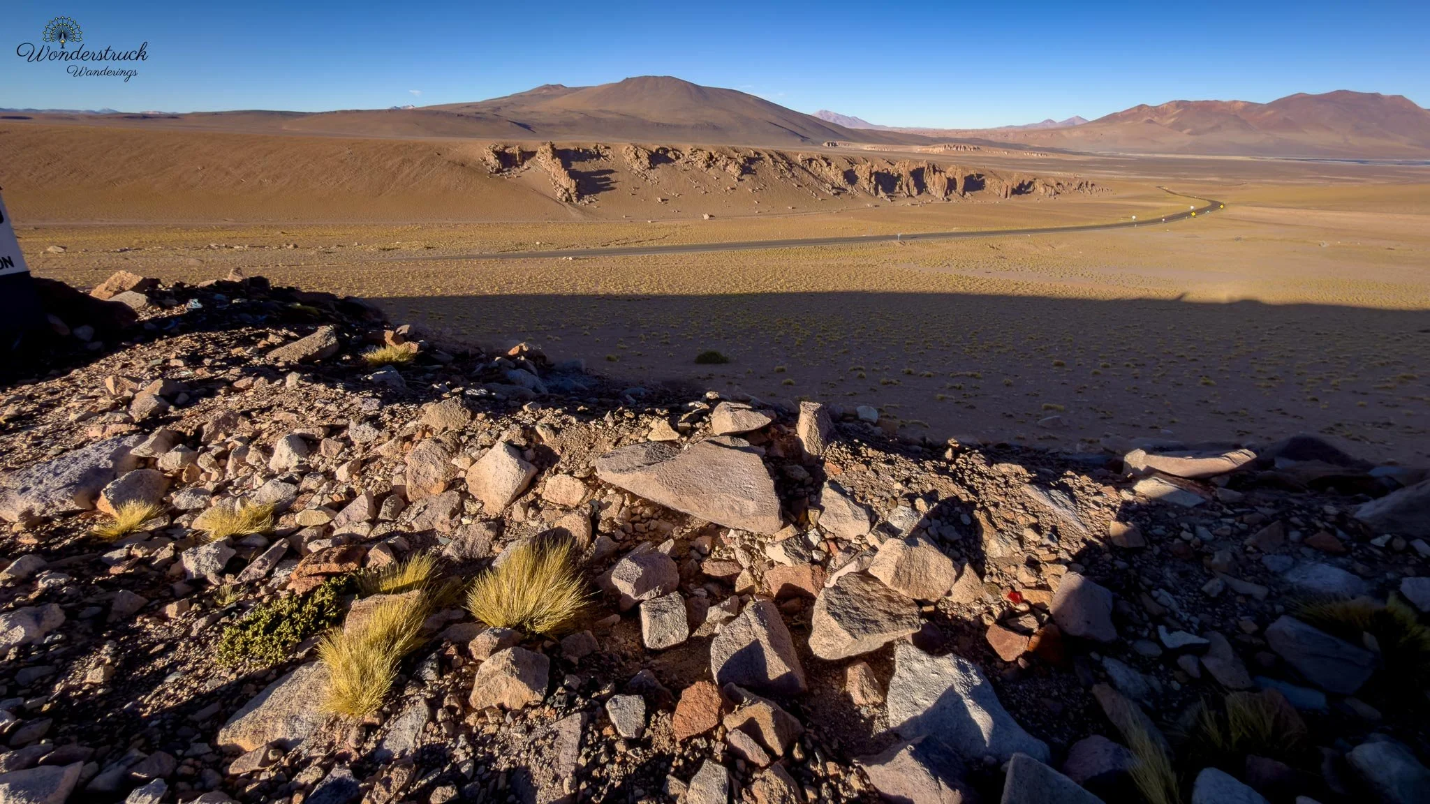
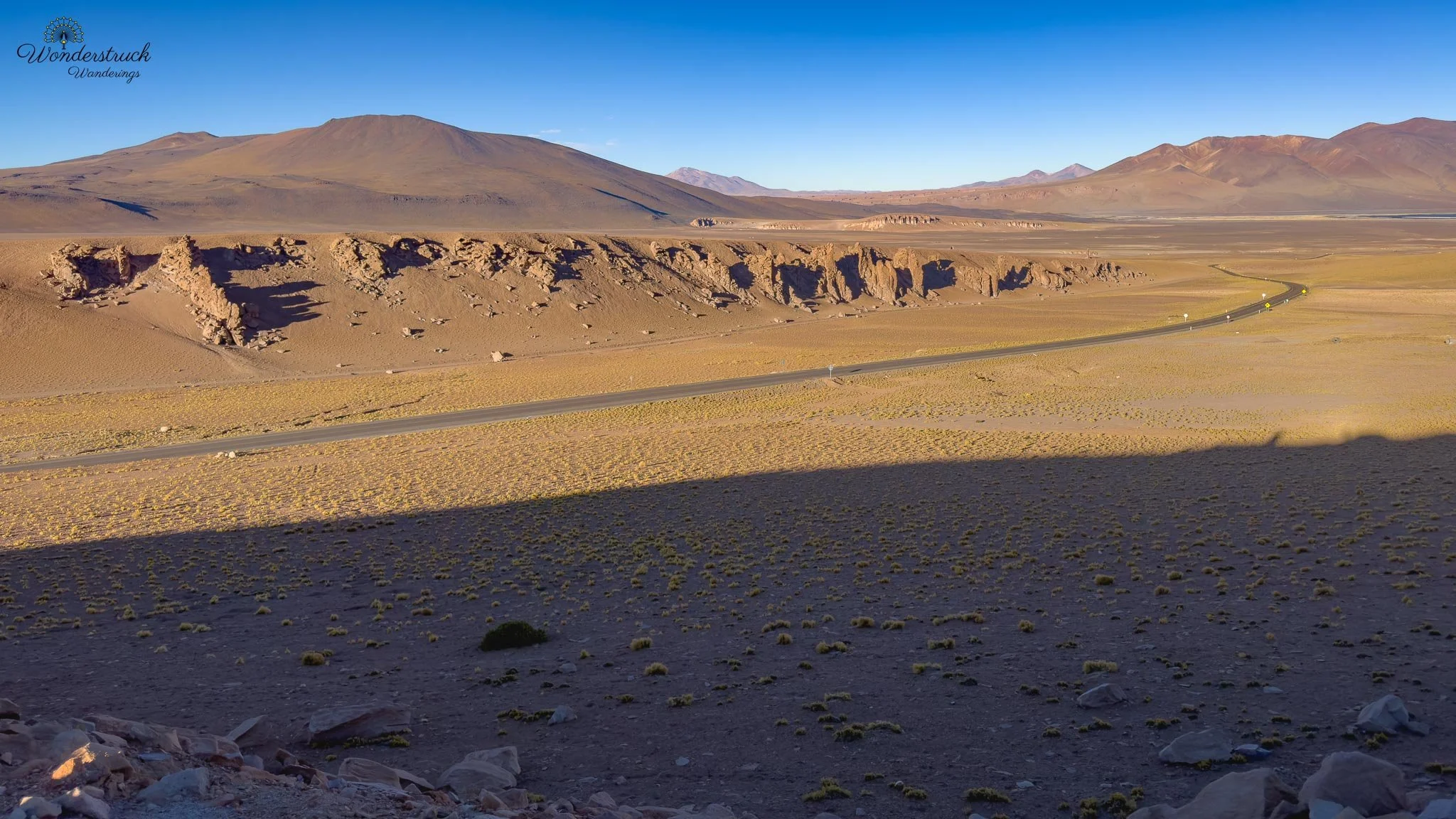
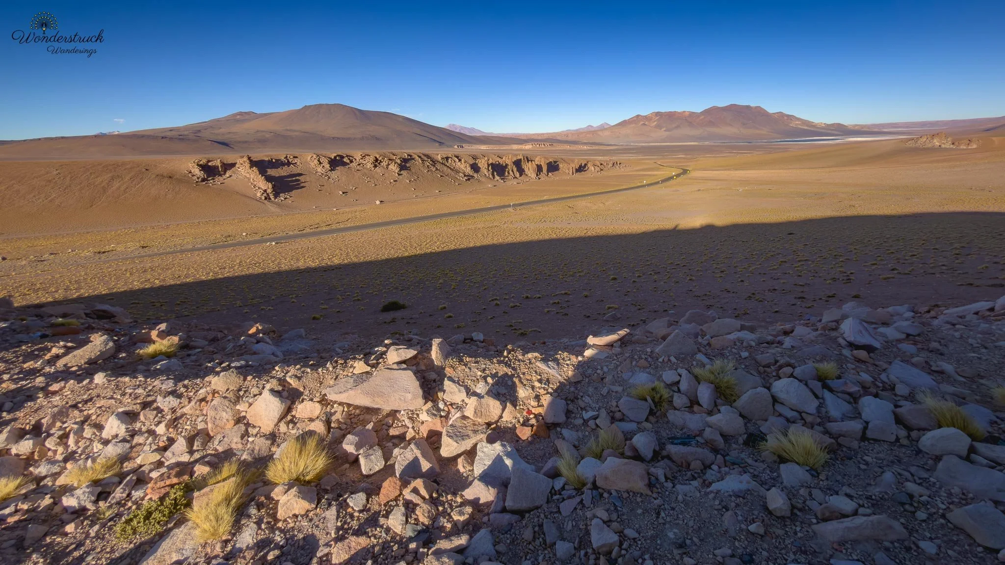
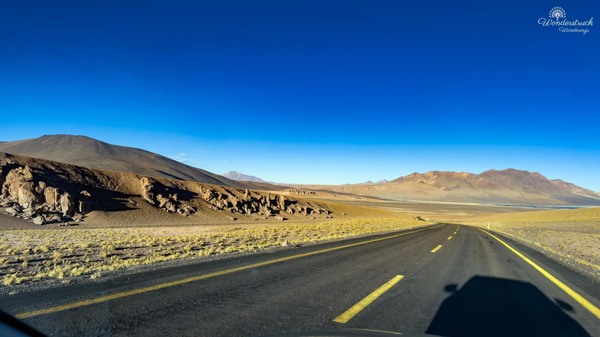
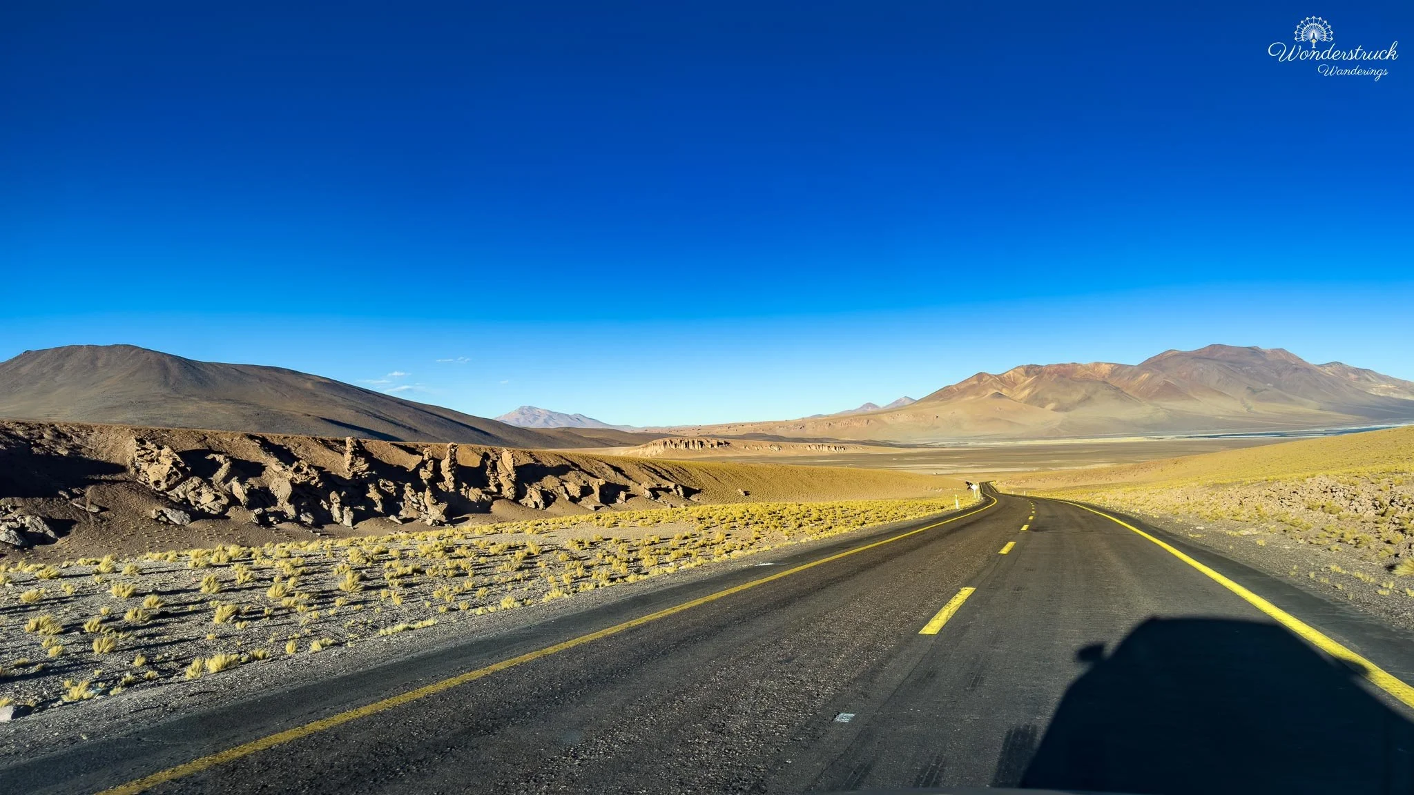
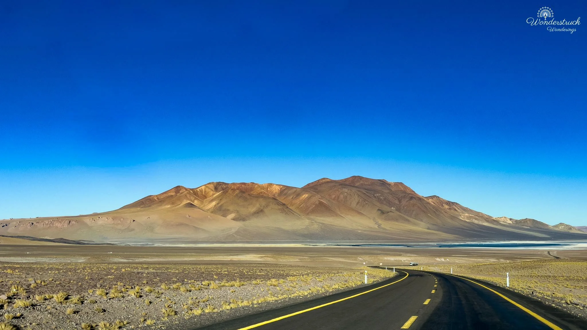
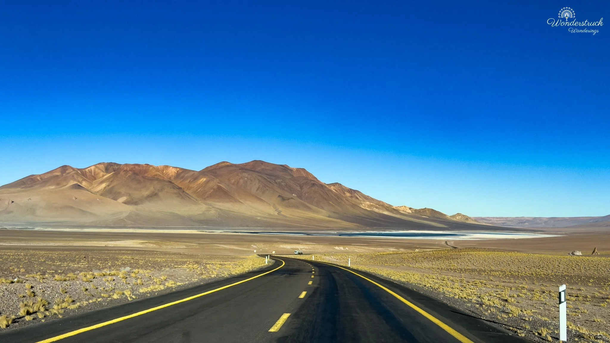
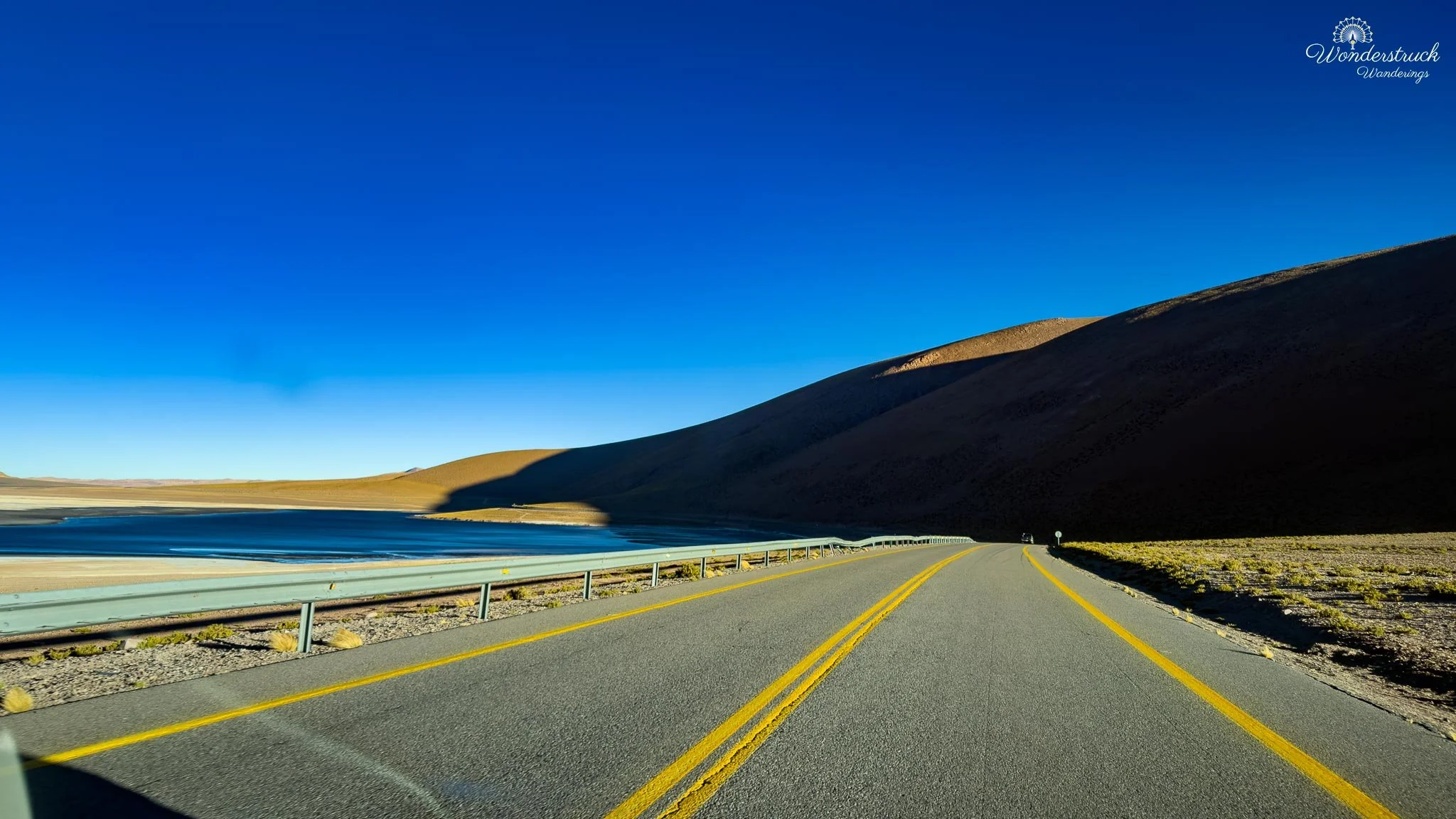
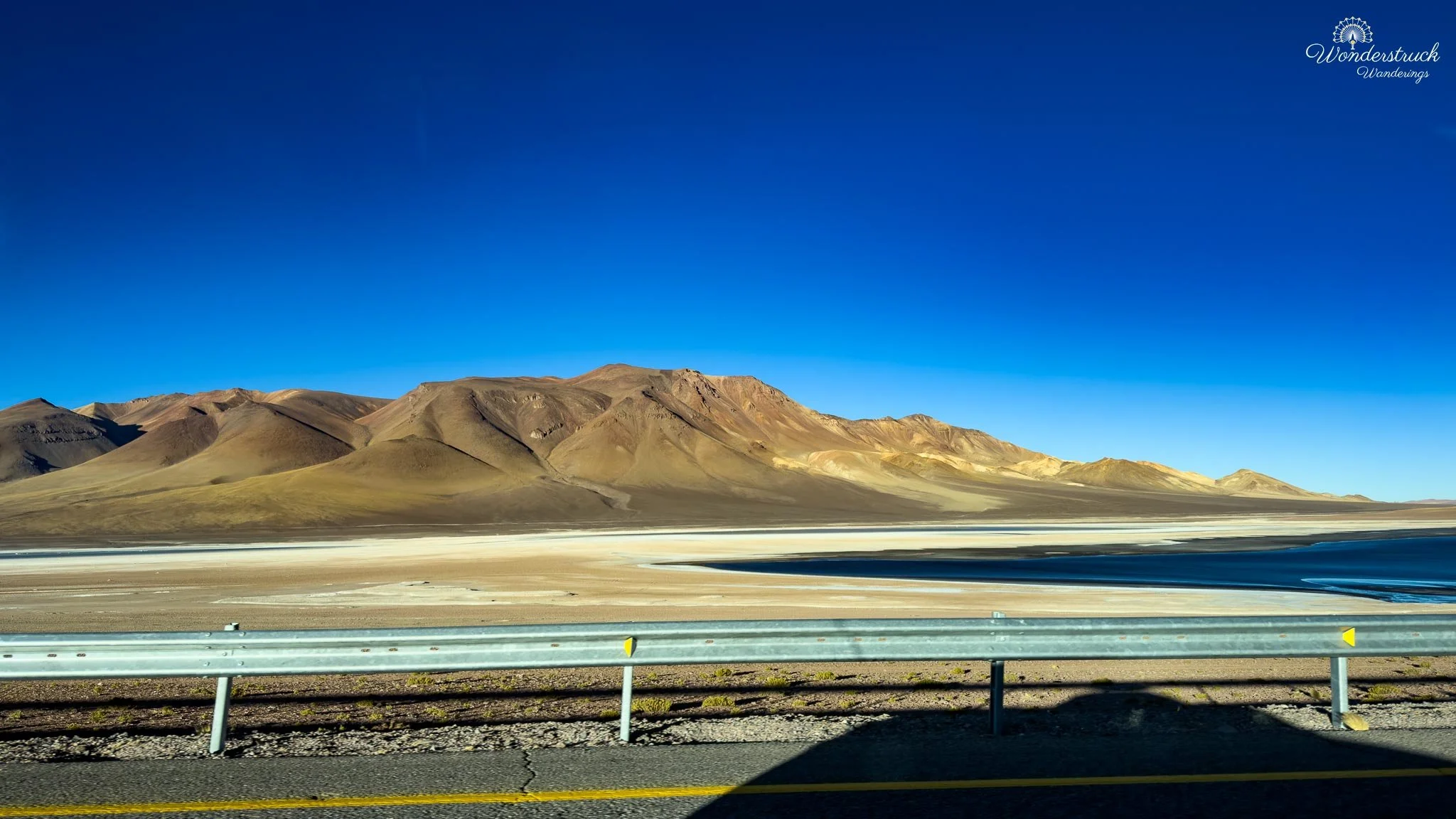
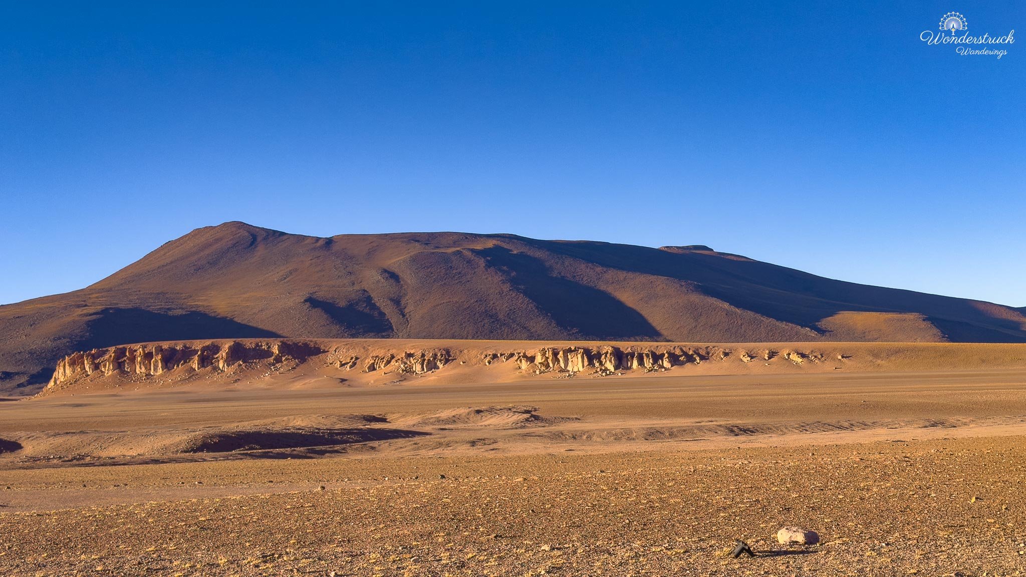
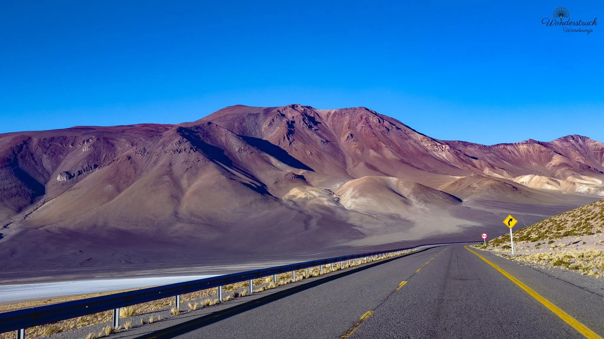
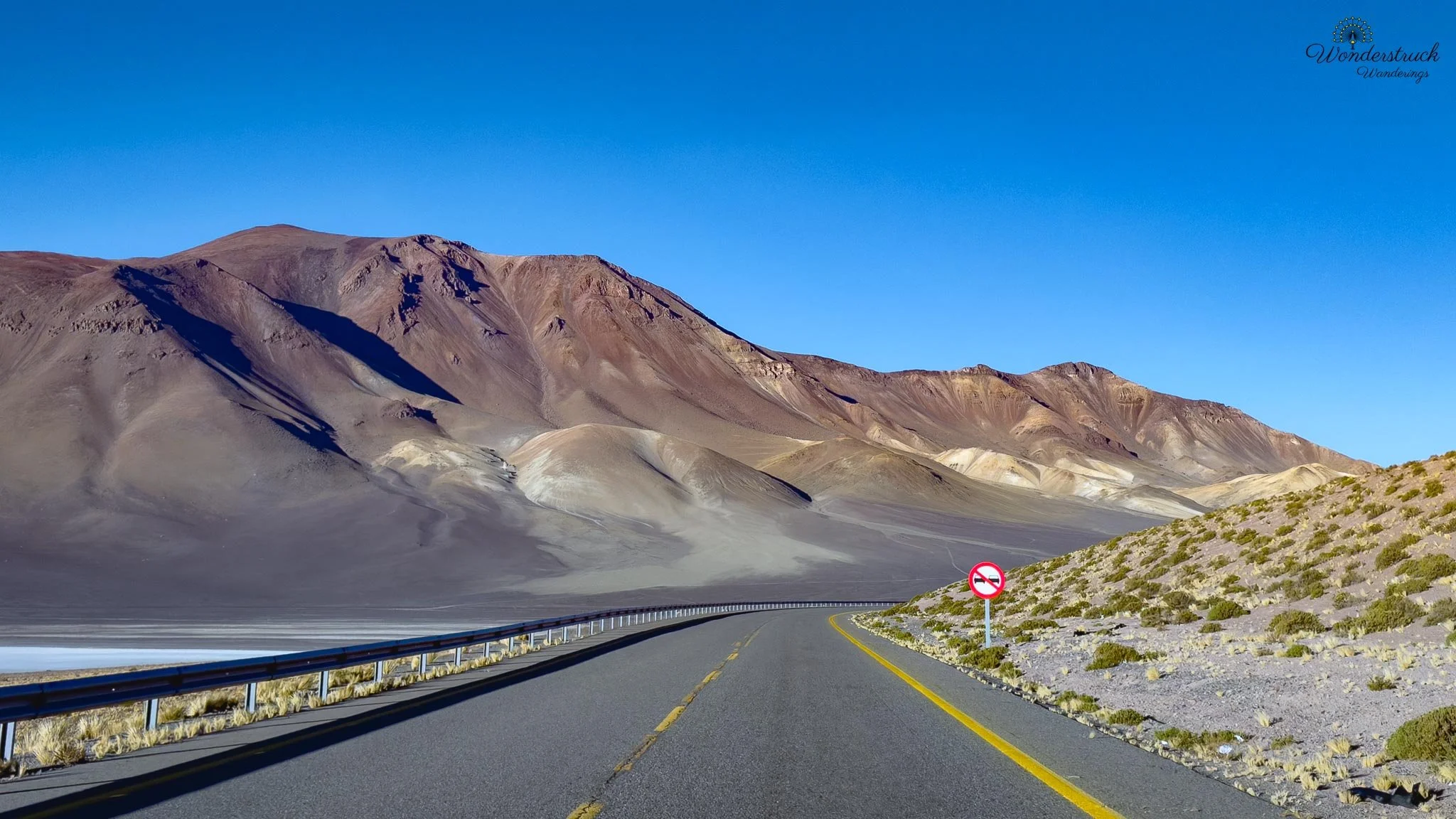
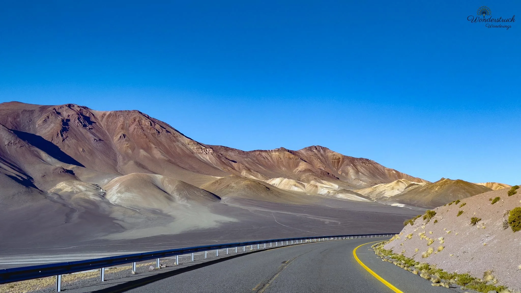
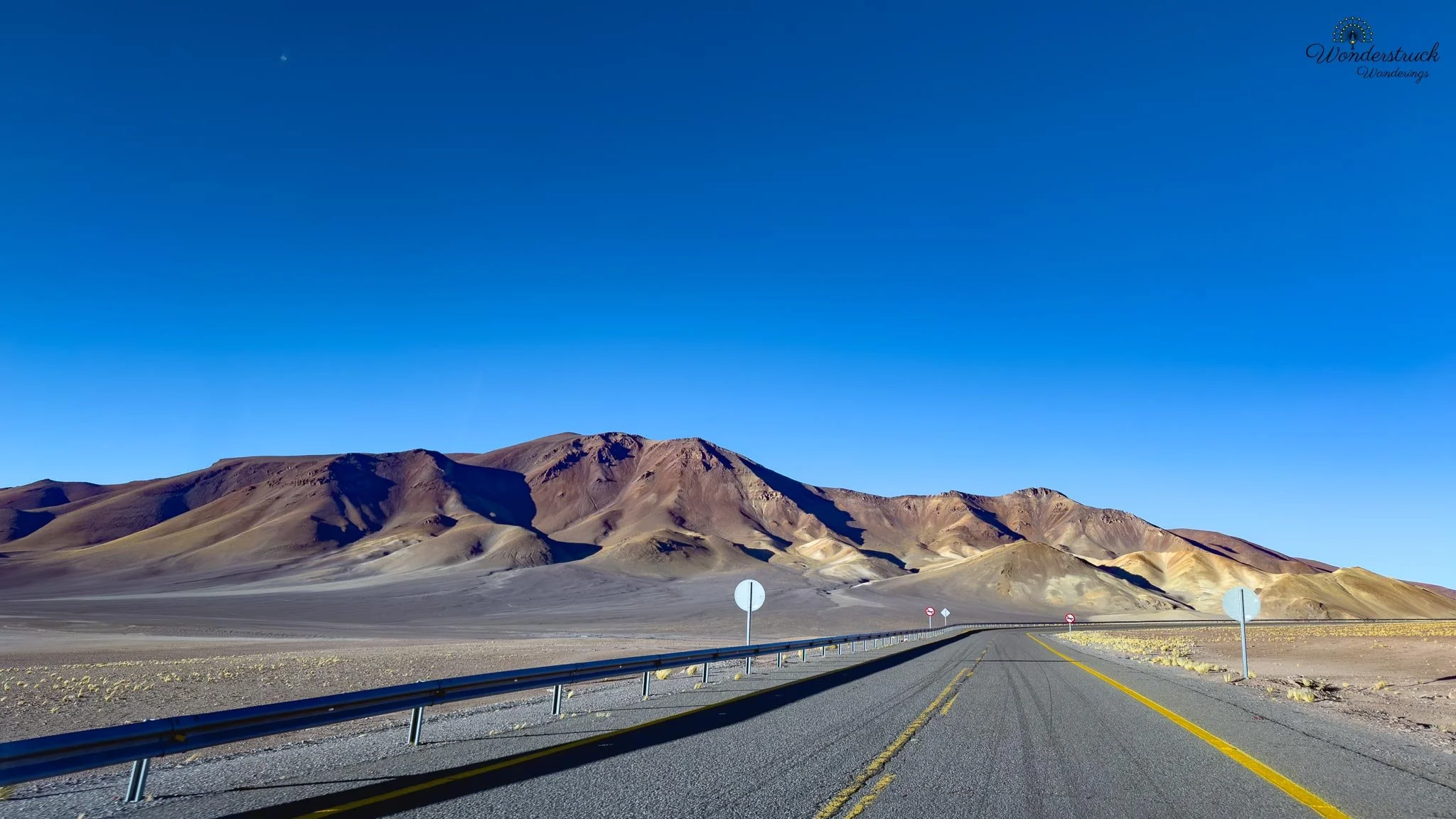
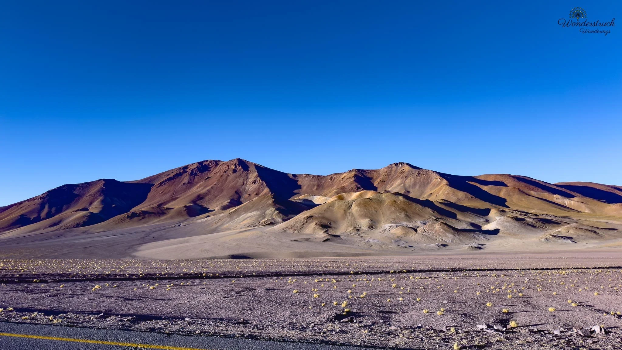
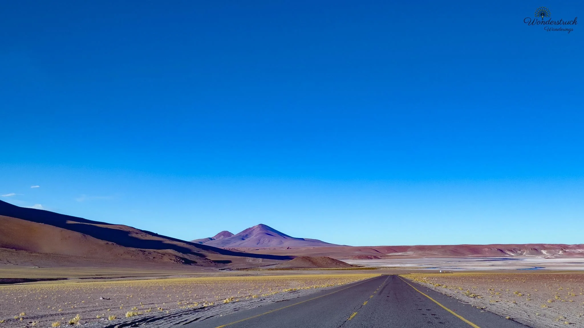
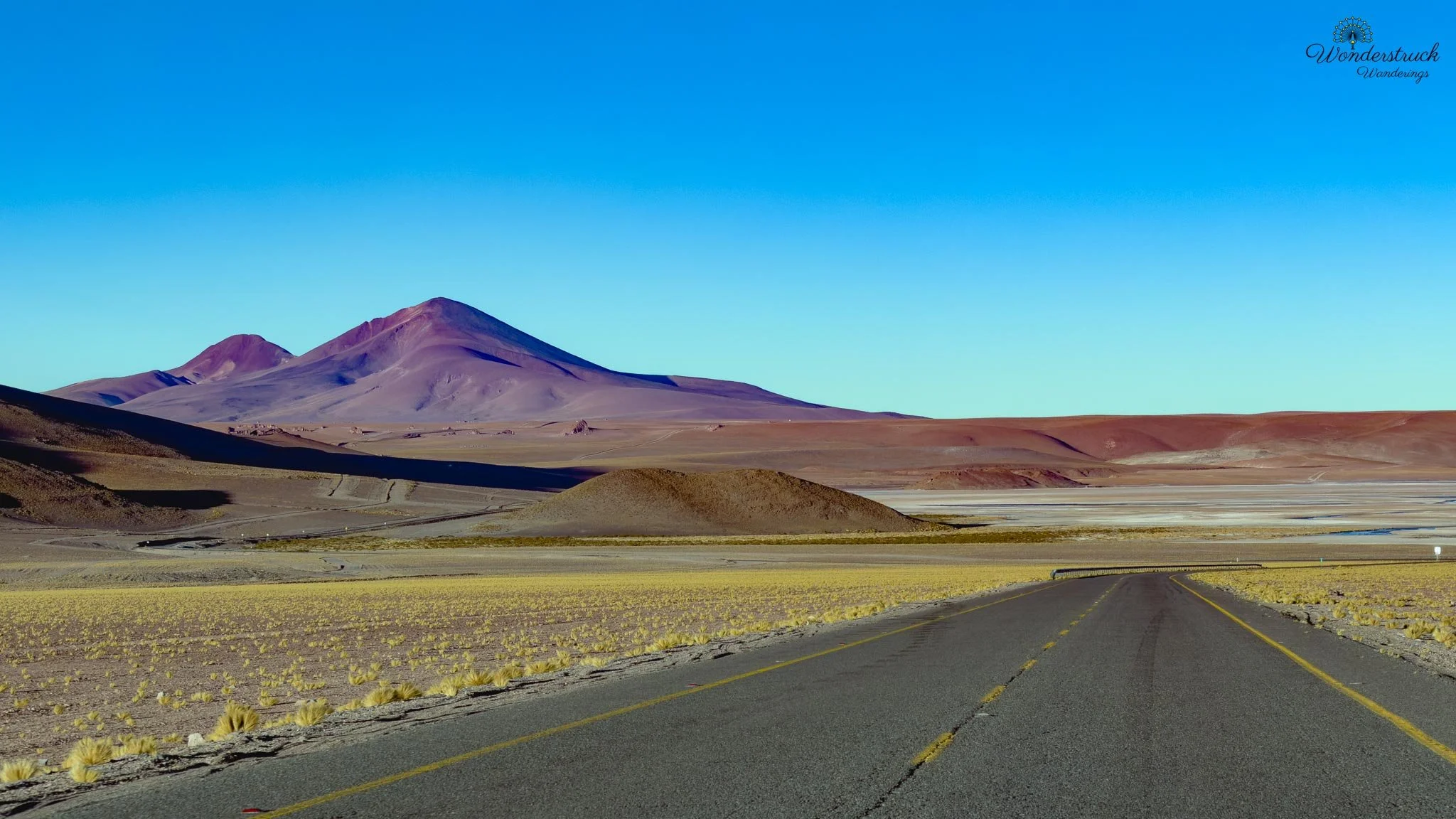
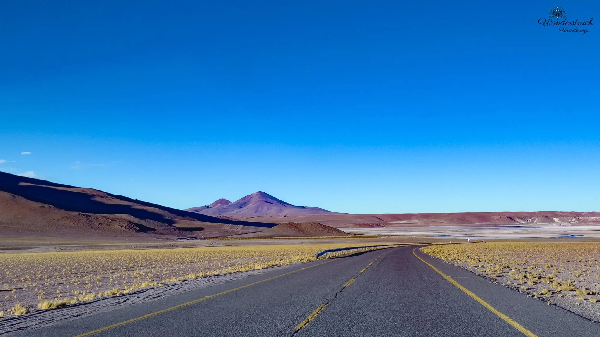
One of the most important stops came around the 65 to 70-kilometer range, near the Quepiaco wetland and Laguna Diamante. This is where the afternoon turned back to birding. Wetlands in the Atacama feel almost improbable, interrupting so much dryness — suddenly there's water, vegetation, movement, birds, in a landscape that otherwise looks too harsh to hold much life. They exist because small flows, springs, and high-altitude drainage collect in shallow basins, creating pockets of habitat in the middle of the puna. Along this stretch we picked up Yellow-billed Teal and Red-backed Sierra Finch, both lifers — the finches fitting the roadside habitat well, small and active enough to miss if you're focused only on the grand landscape. We'd considered stopping at Monjes de la Pacana on the way back. These rock formations sit off the main route, roughly around the 90-kilometer mark depending on the exact approach, and are often included in high-altitude Salar de Tara / Ruta de los Salares excursions. They're volcanic erosional remnants, standing like isolated columns on the open plateau, sometimes called "monks" for their upright shapes — but geologically they belong to the same story as the rest of the region: volcanic material laid down long ago, then carved by wind, weather, and time. Since the afternoon was moving fast and we wanted to keep pushing east toward the major viewpoints, we saved them for the return rather than turning off. In hindsight we should have gone then — we never got the chance on the way back.
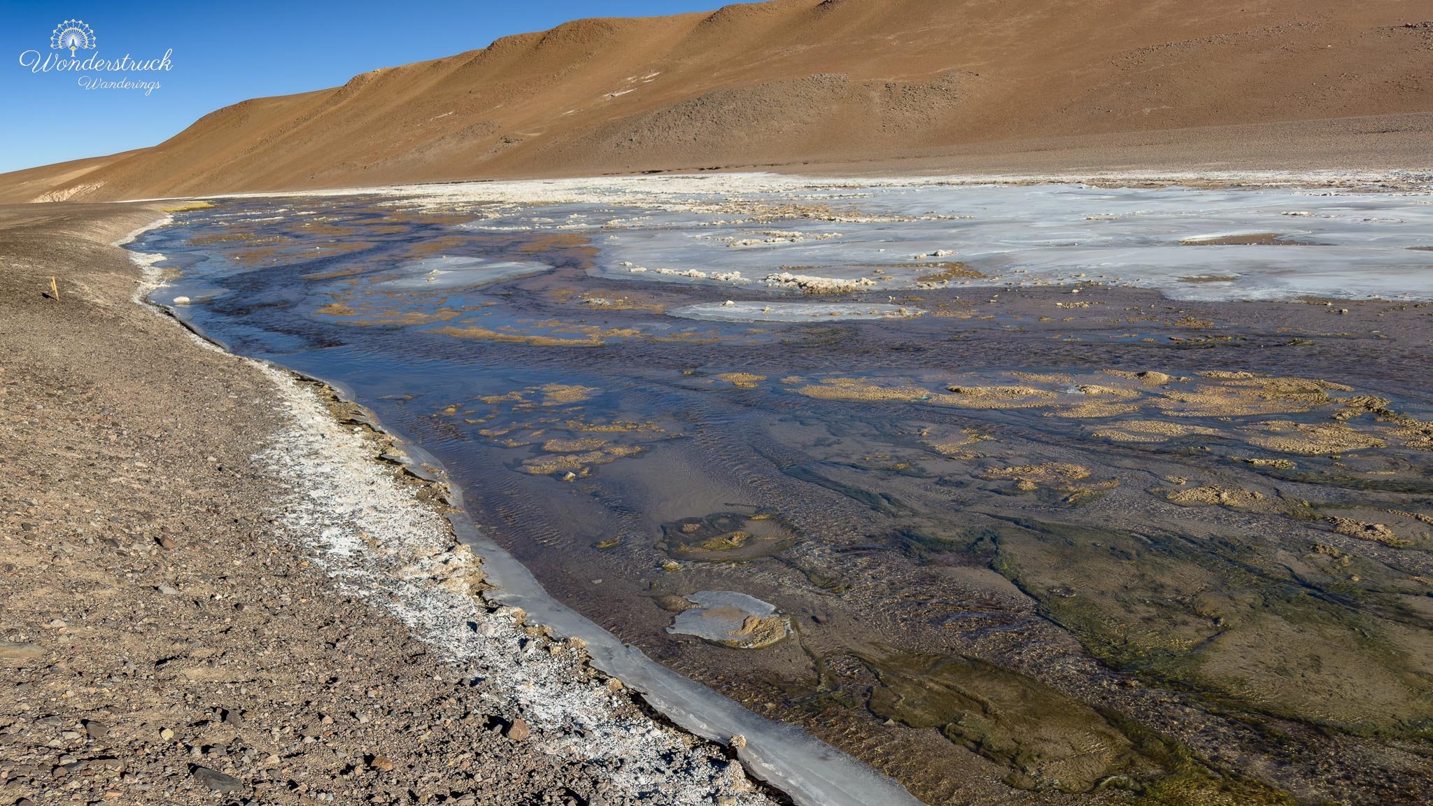
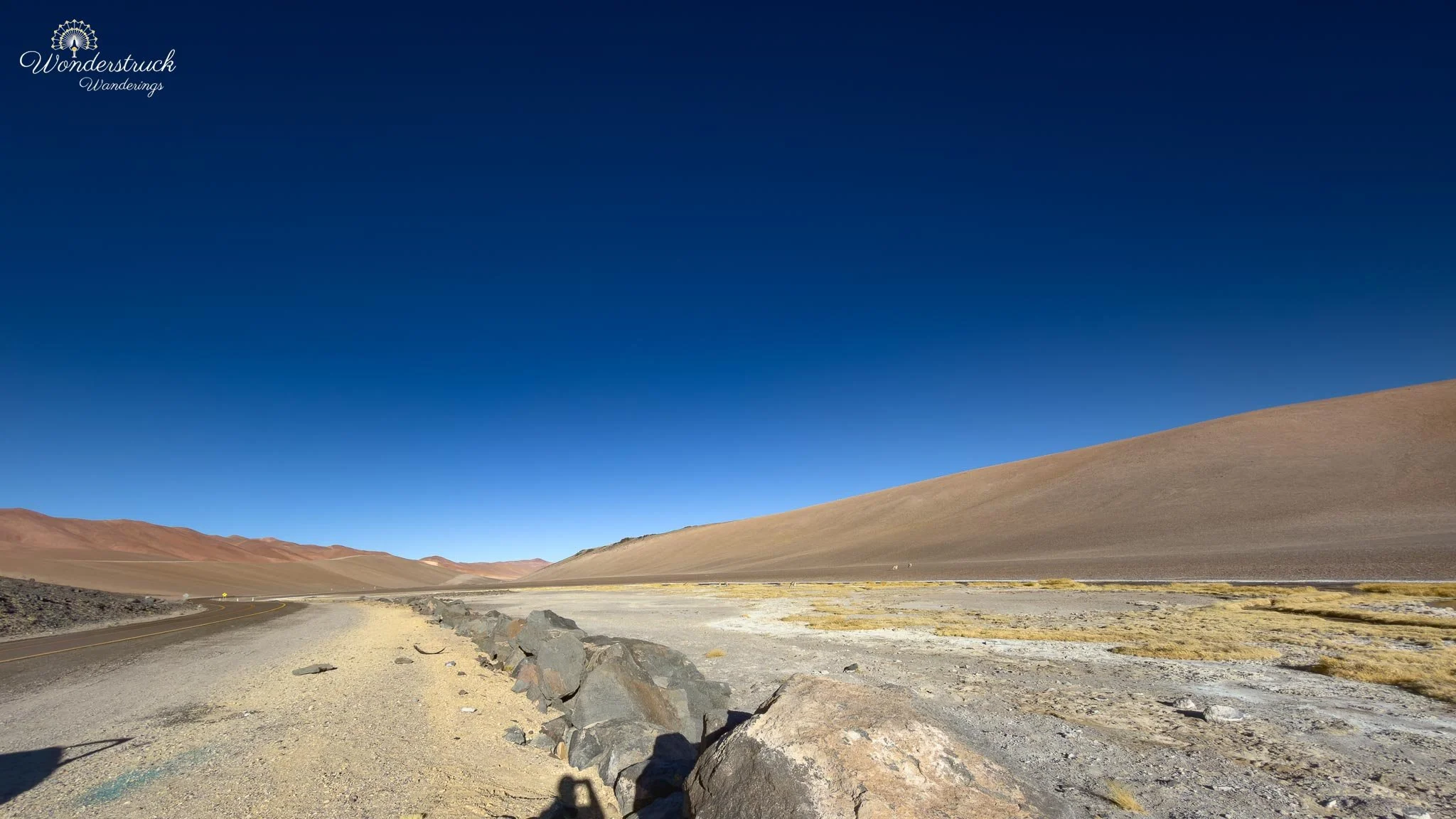
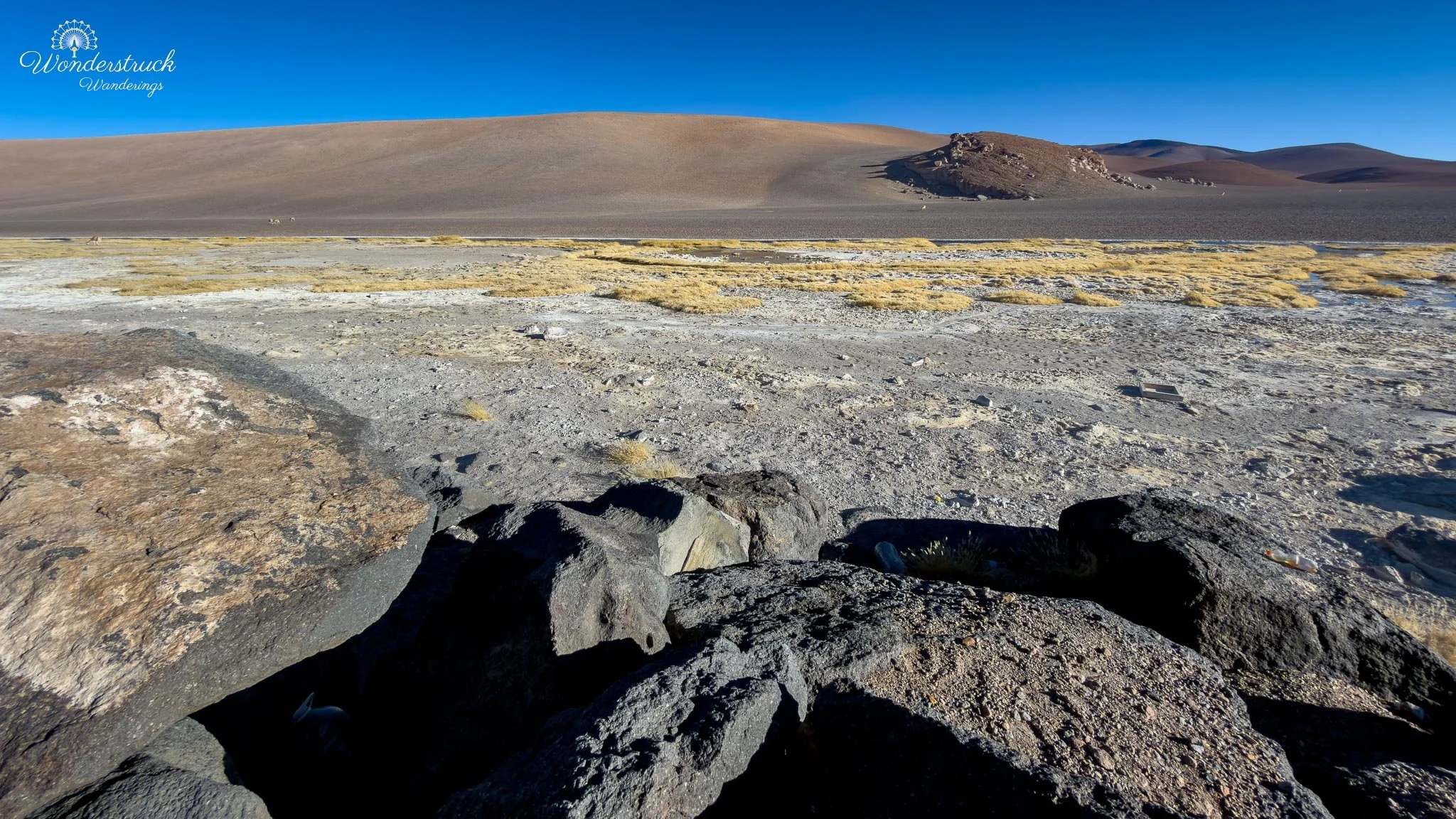
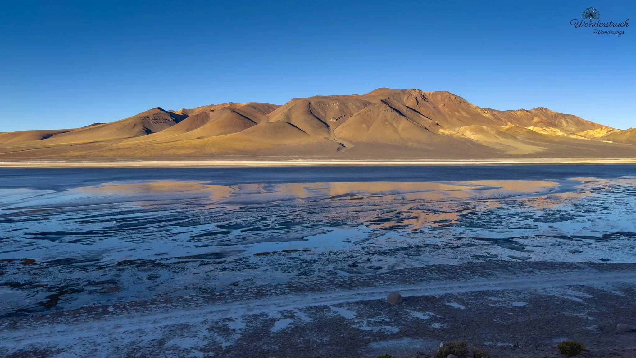
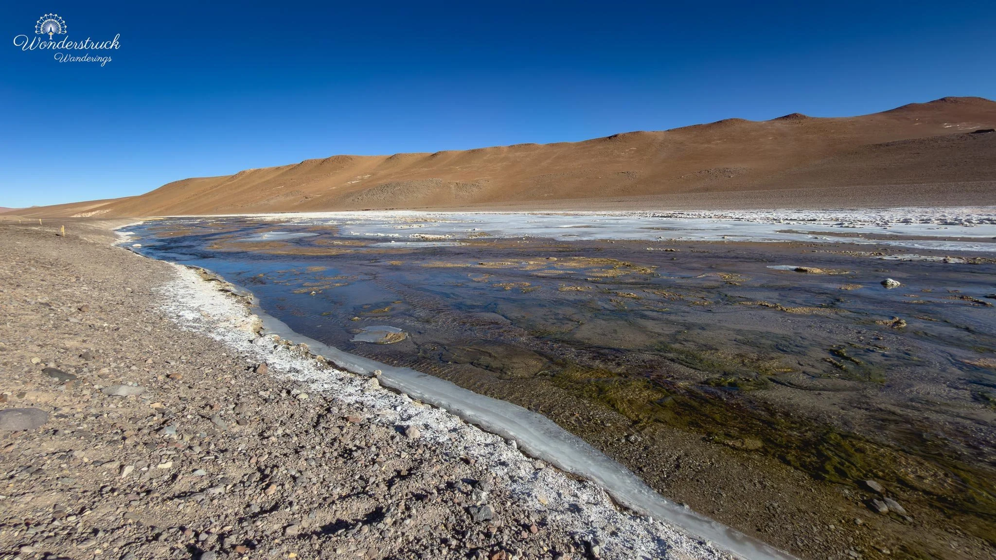
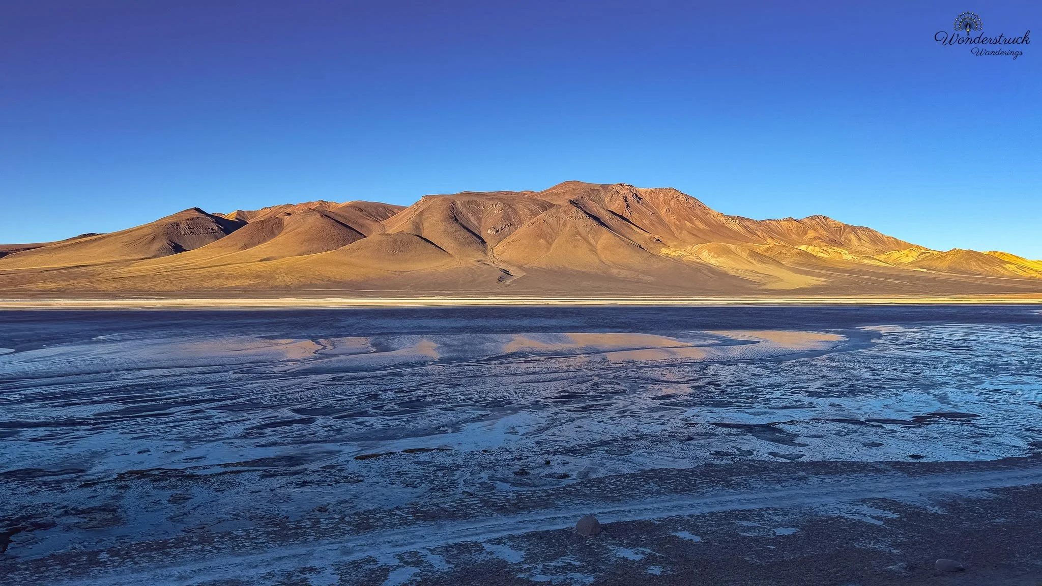
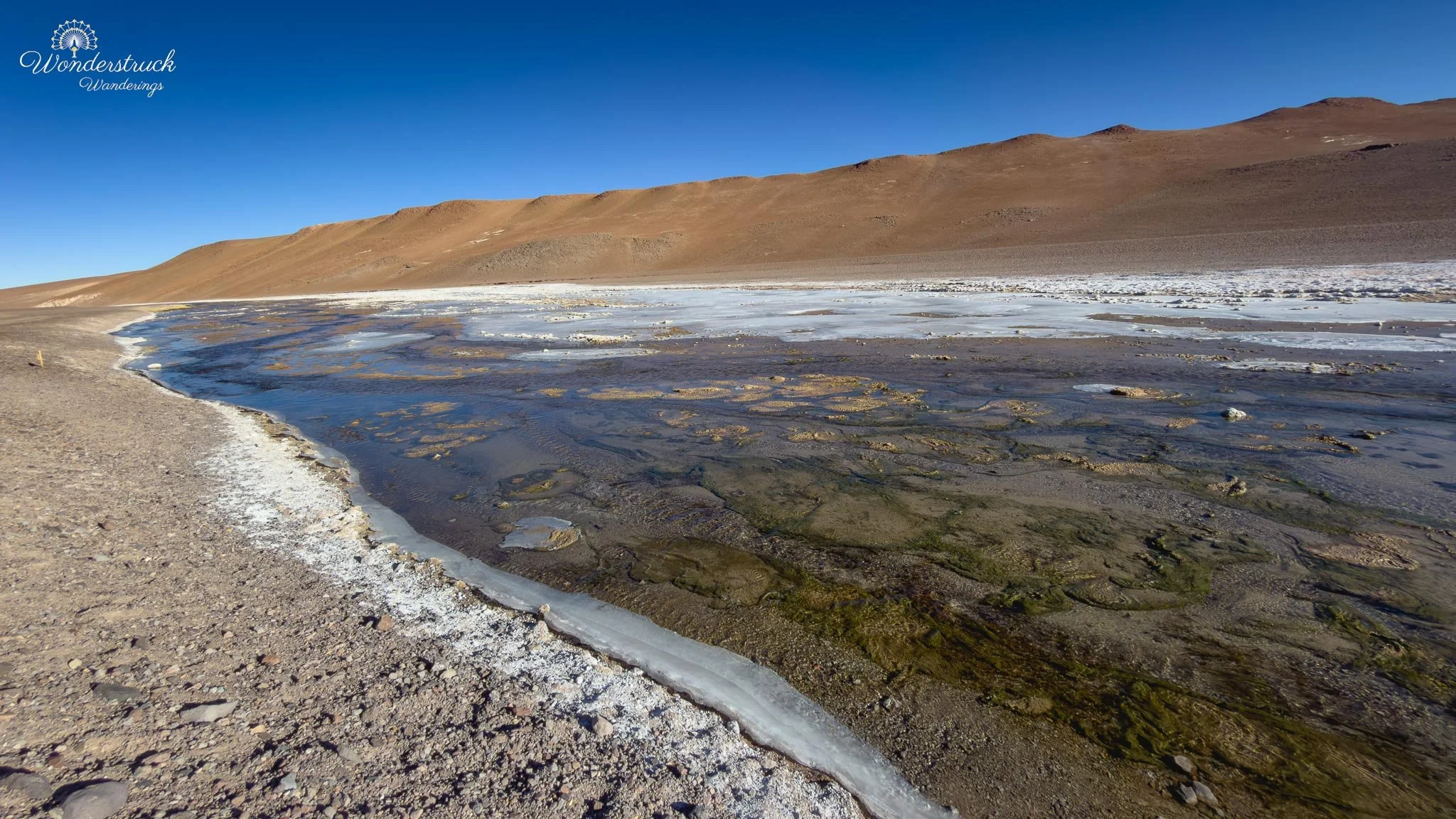
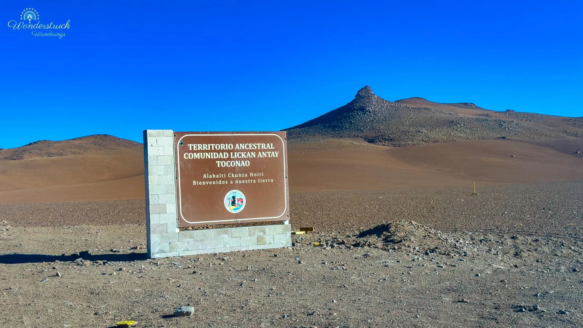
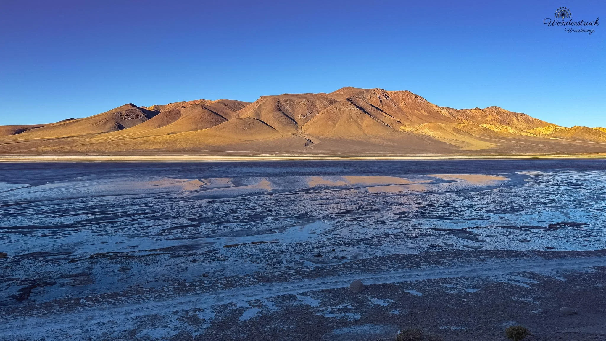
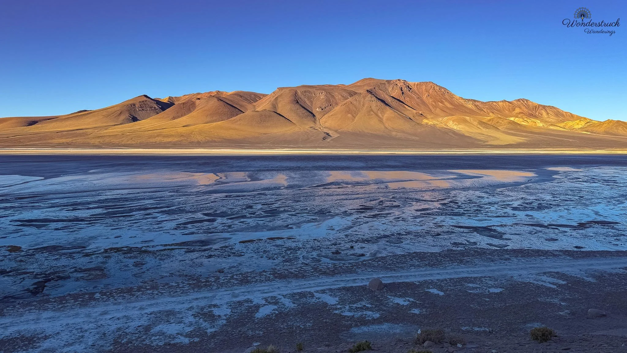
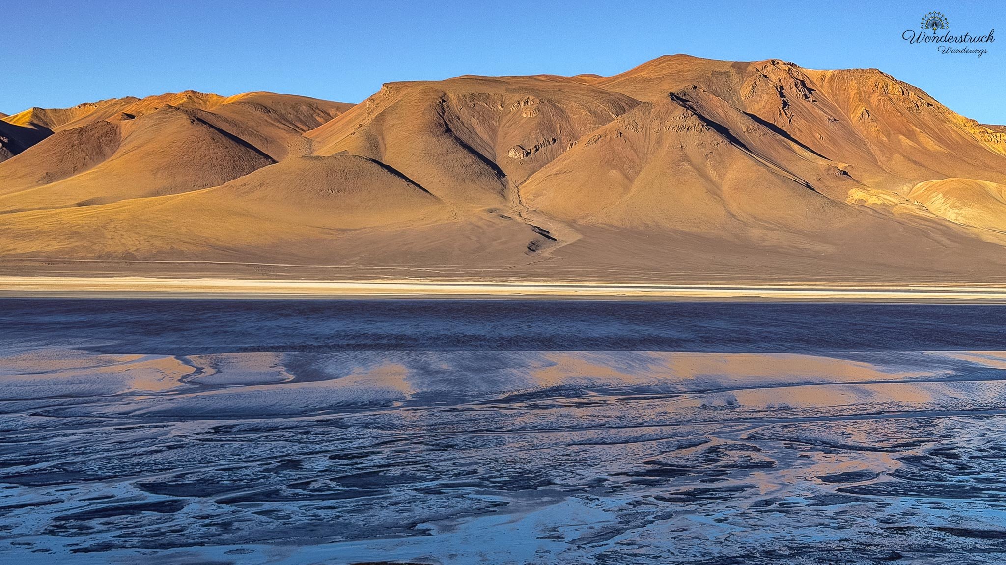
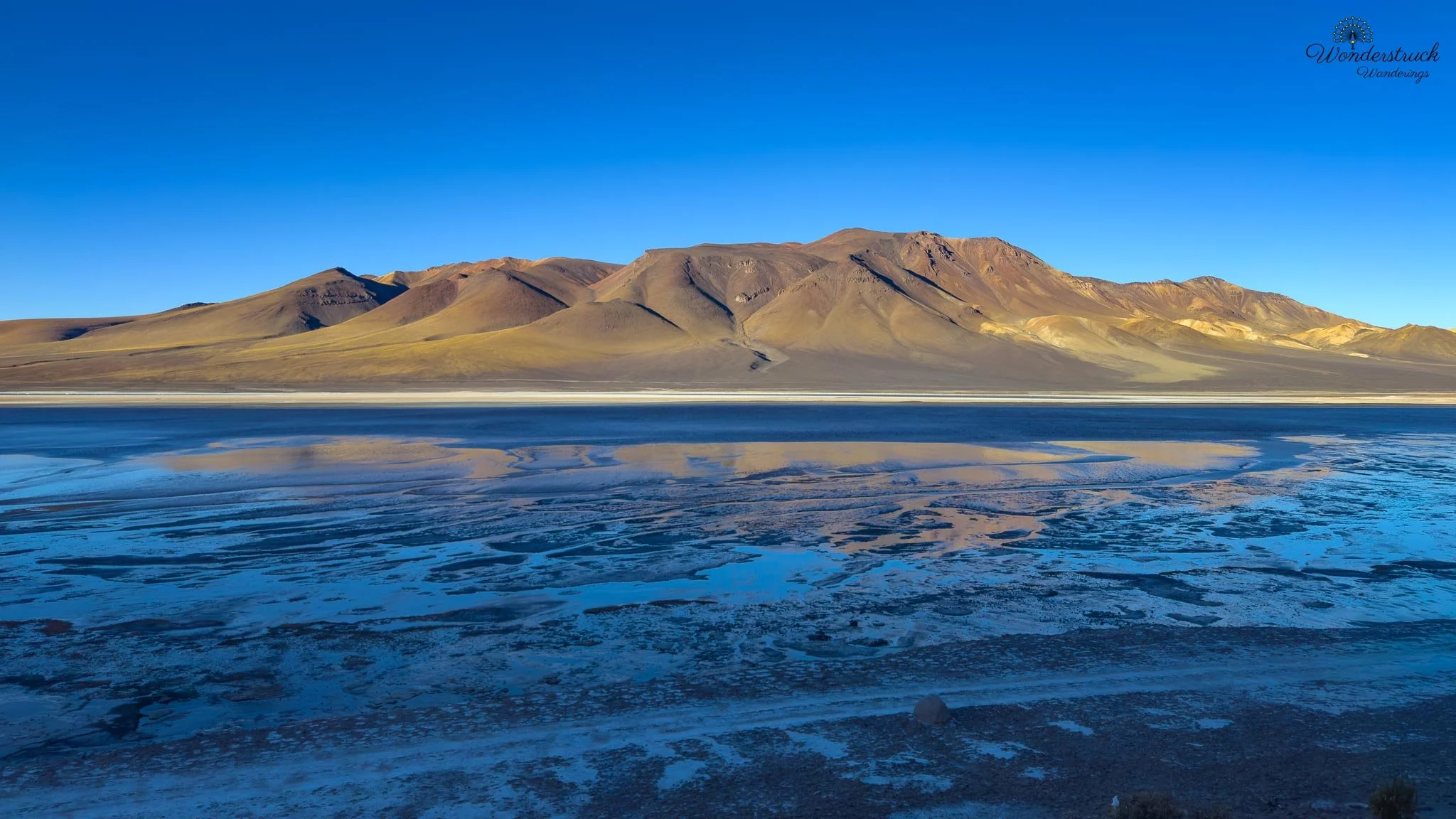
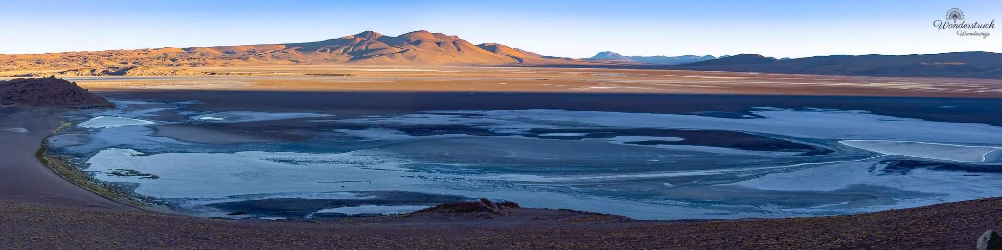
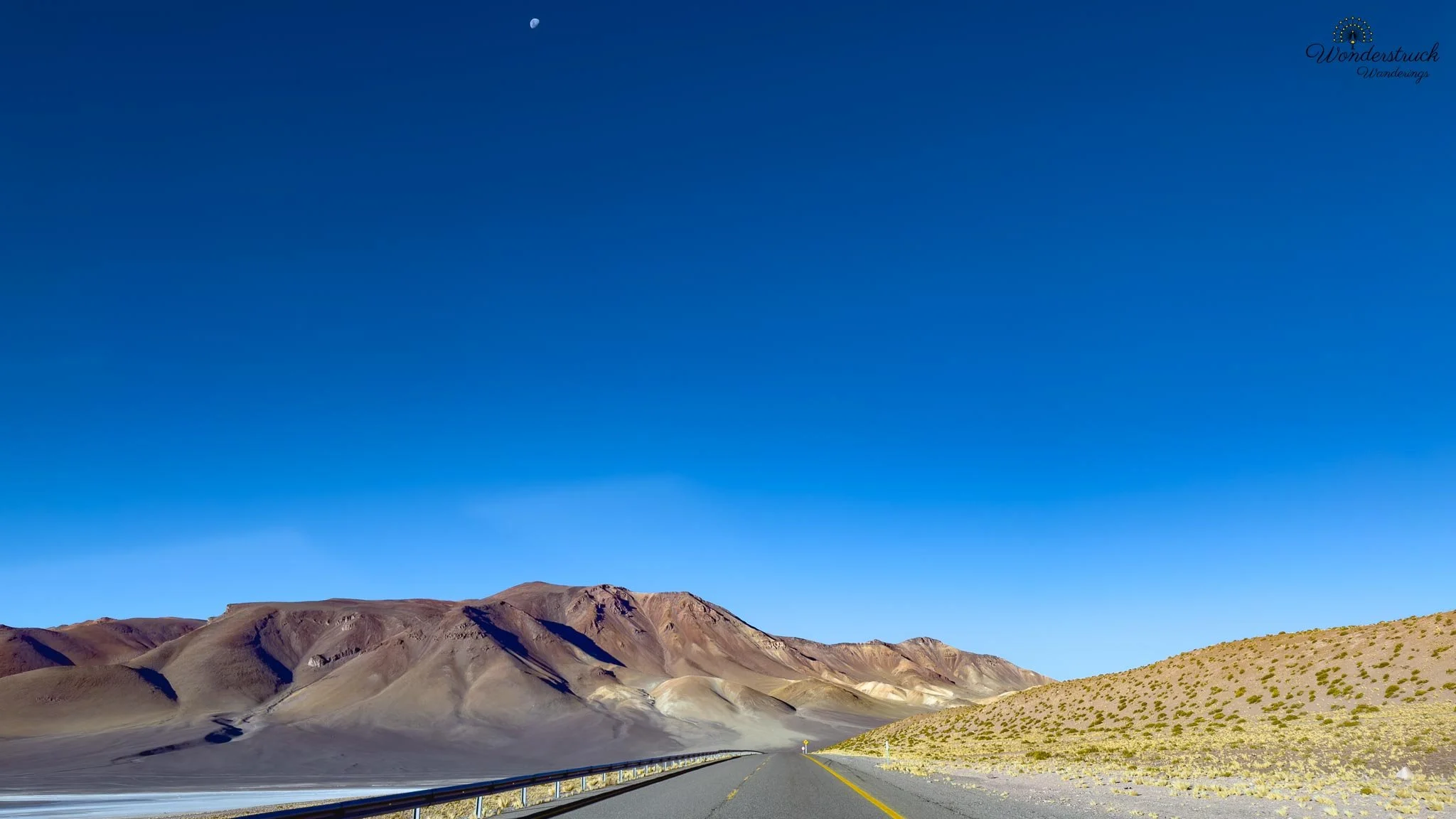
Farther along, around 100 kilometers from San Pedro, we reached the Mirador Pacana Caldera and the Salar y Laguna de Tara viewpoint area — one of the best stops of the afternoon. Here the scale of the route really opens up. The Pacana Caldera is part of a large volcanic system, and the surrounding landscape feels enormous: caldera forms, volcanic plateaus, salt flats, lagoons, and distant peaks spread across the high Andes. Distance becomes hard to judge; a formation that looks close may still be far away, and the absence of trees, buildings, or any familiar reference makes the scale feel even larger. The Tara area sits around 4,200 to 4,500 meters depending on the exact viewpoint, so this wasn't just a scenic pullout — it was a high-altitude stop. The caldera, salt flats, lagoons, and volcanic forms didn't sit neatly in front of us; they spread out in layers. It was the kind of view where you take a photo, check the screen, and immediately know it can't hold the space properly. Wide-angle photography helps, but it still compresses what the eye understands better: the road, the basin, the salt, the water, the volcanoes, and the sky are all one massive system.
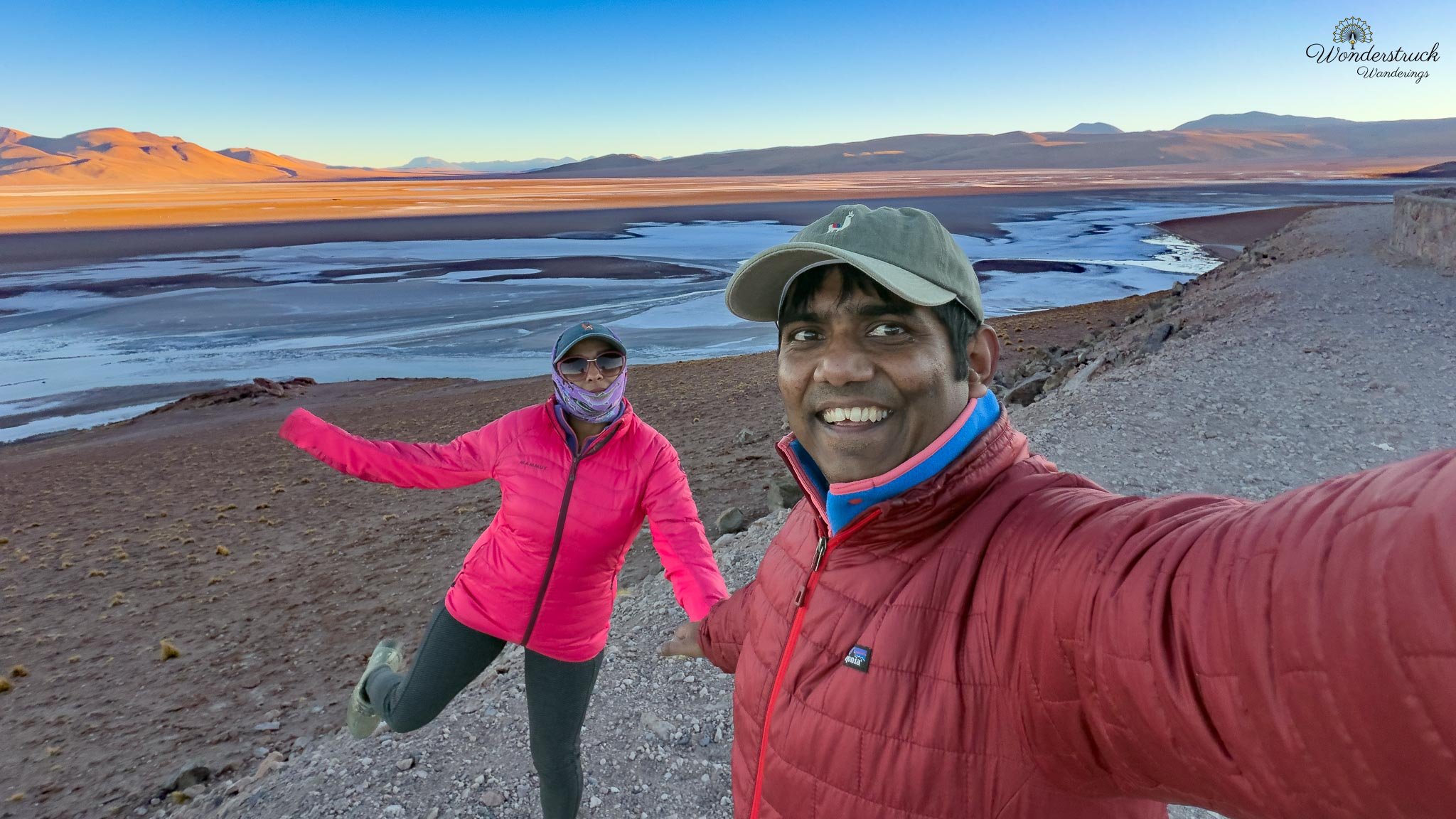
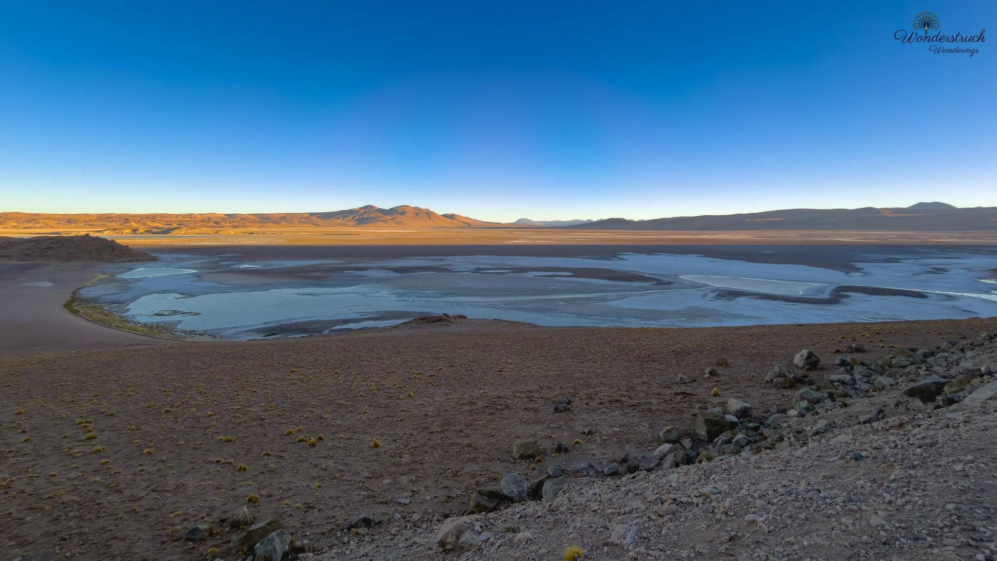
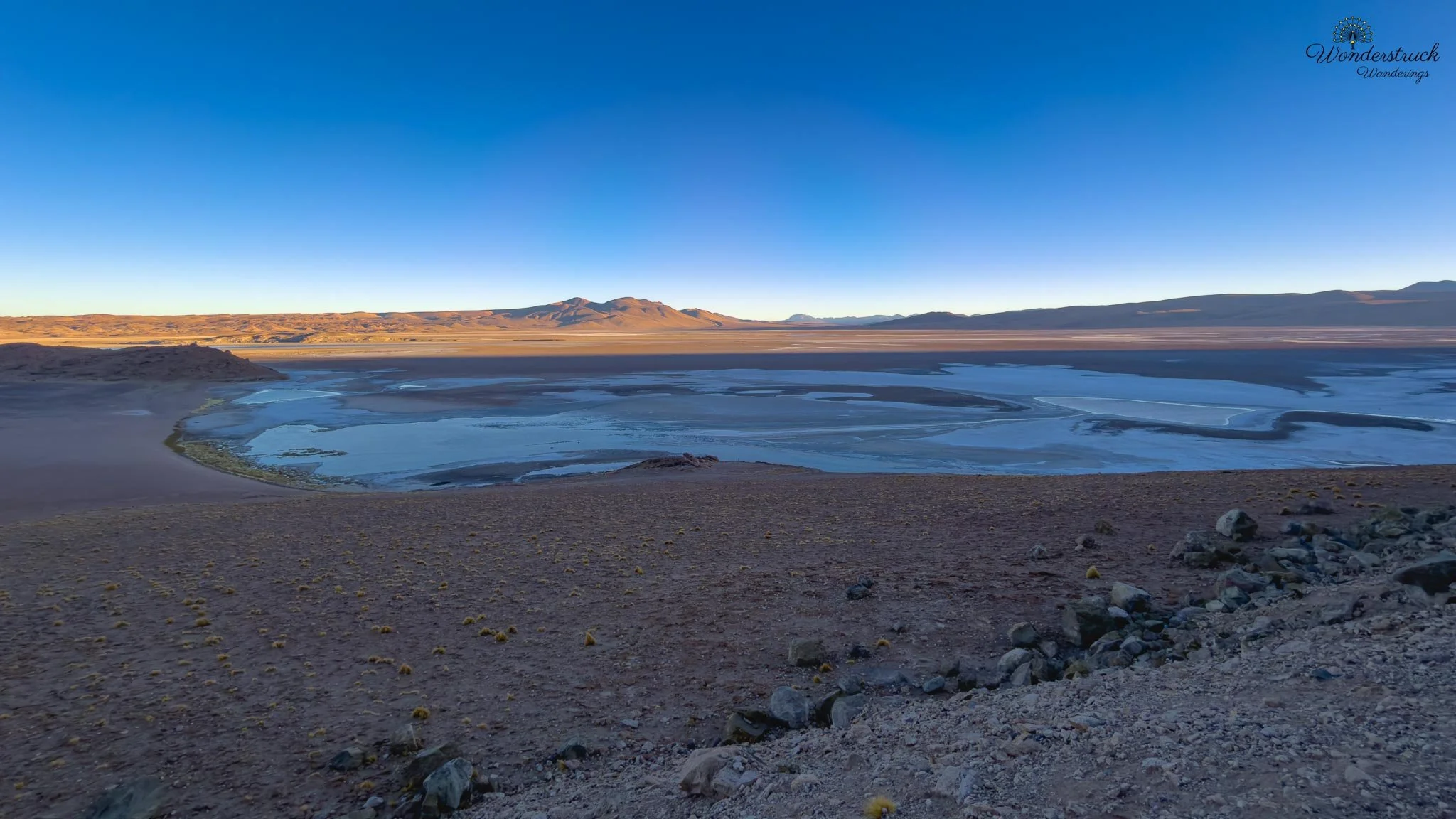
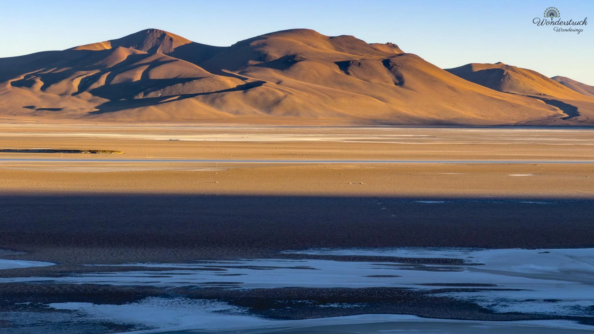
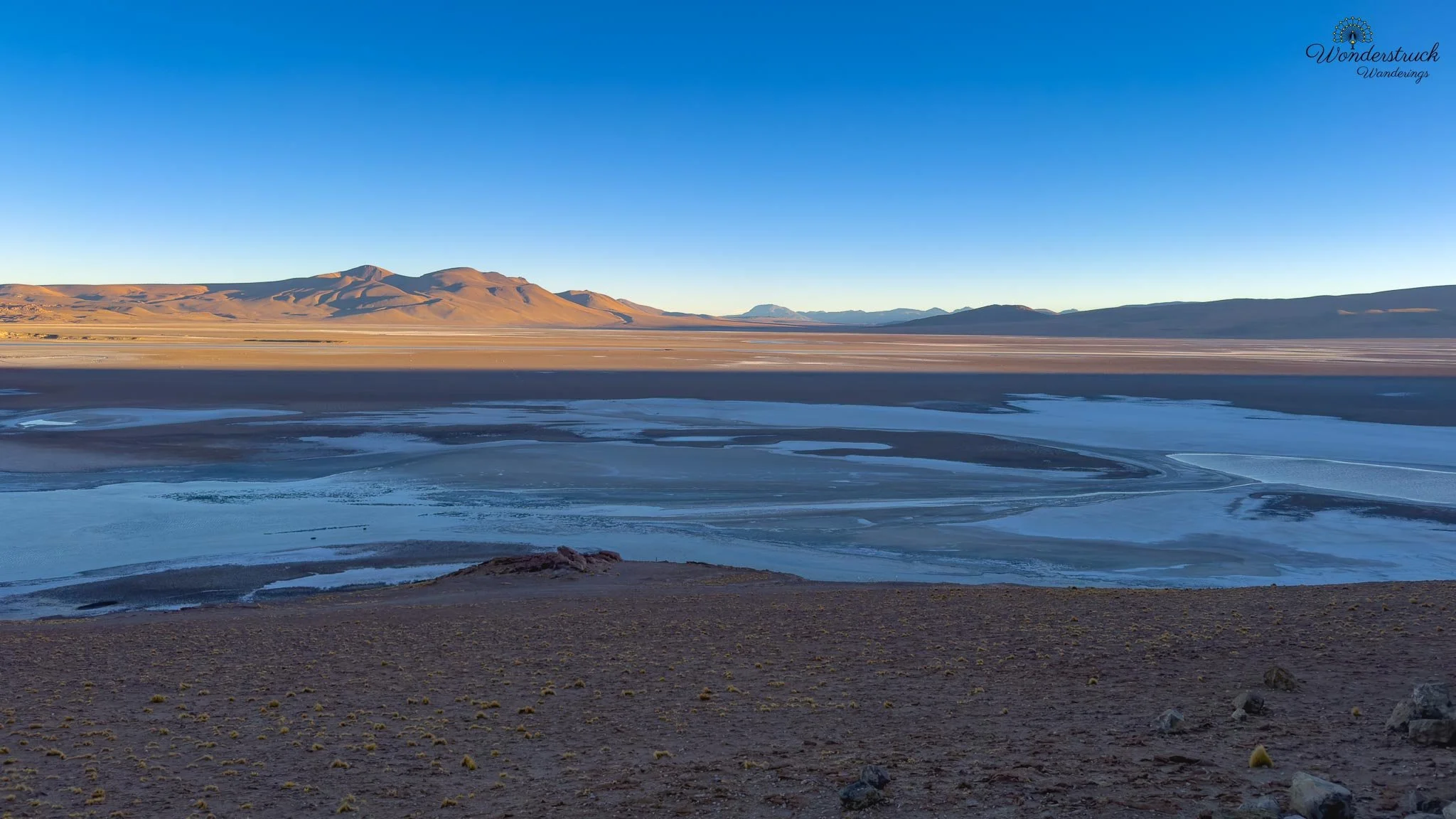
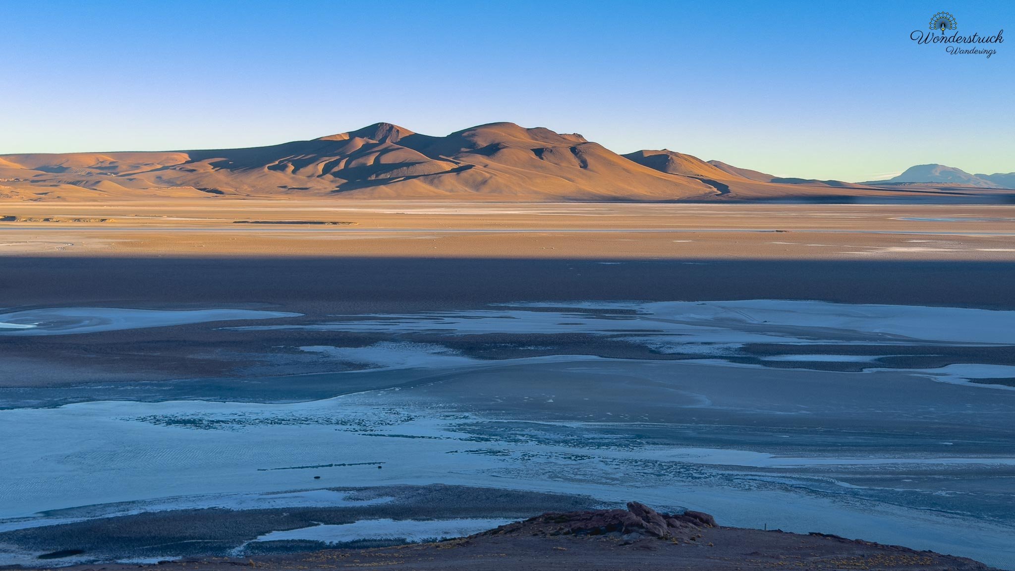
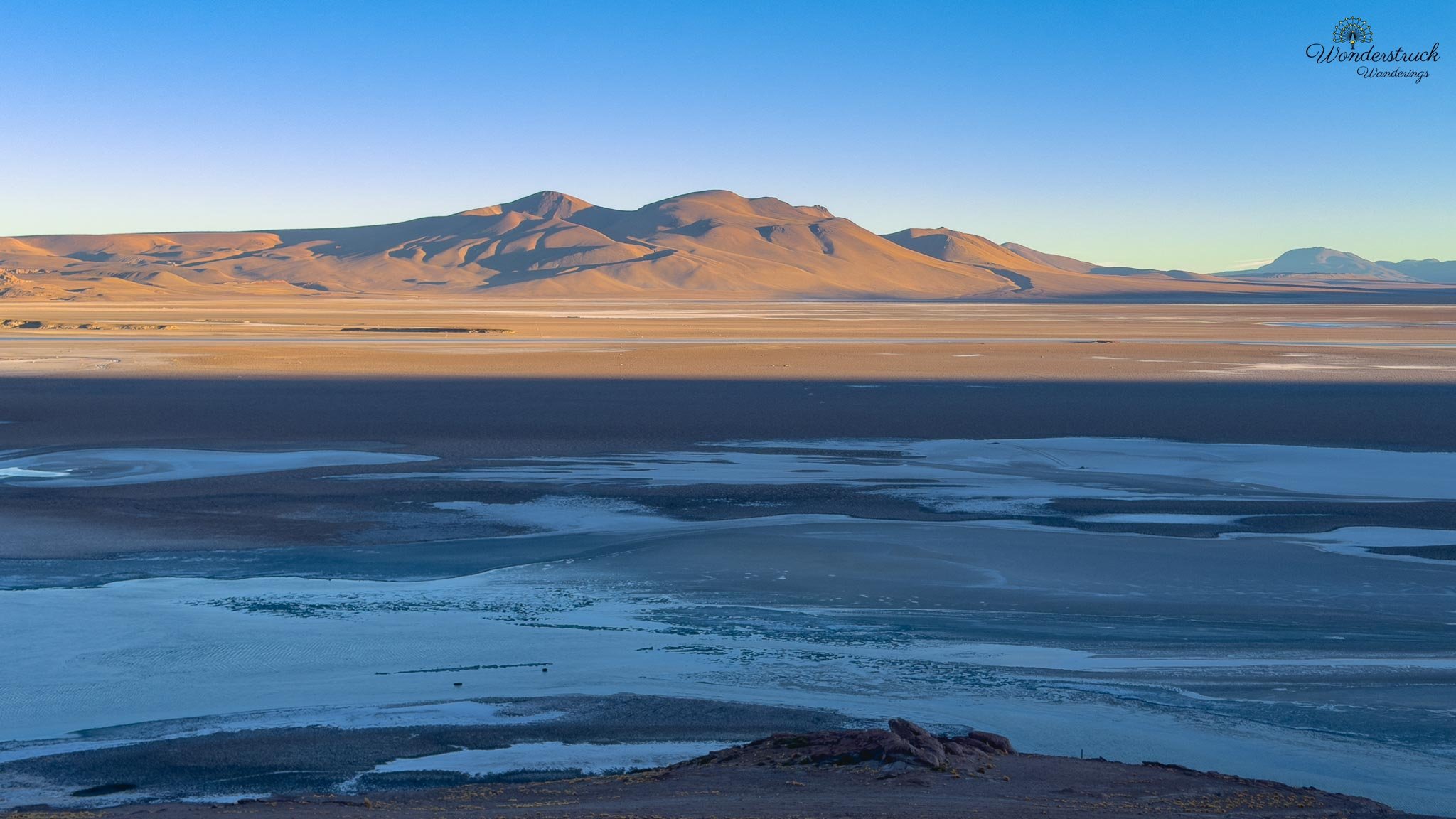
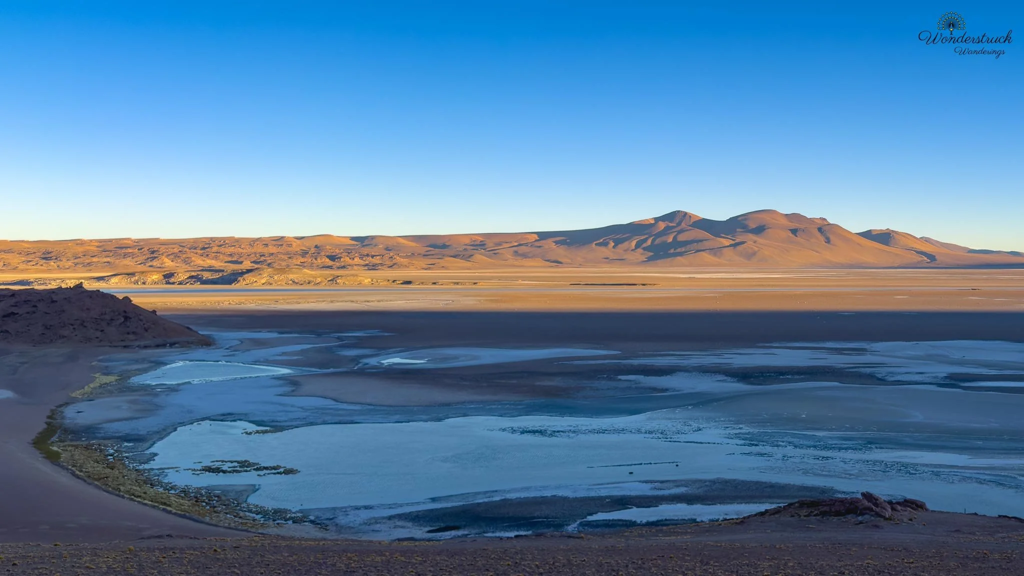
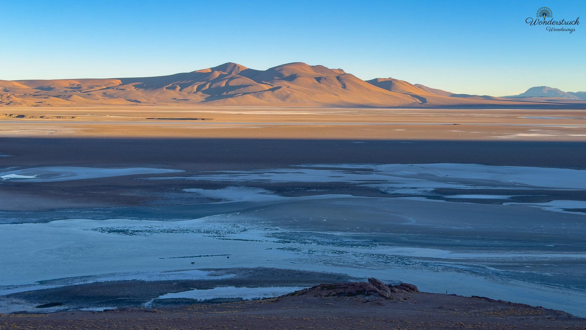
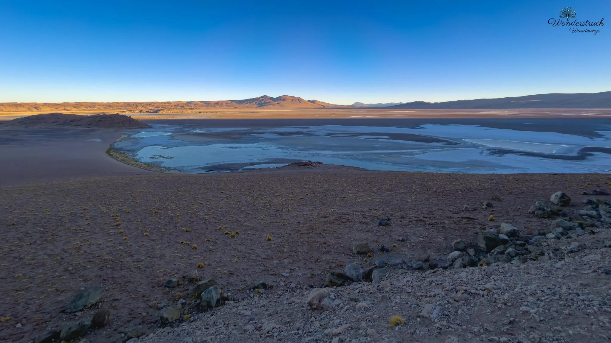
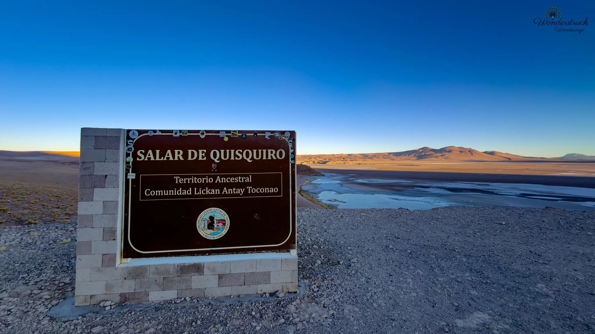
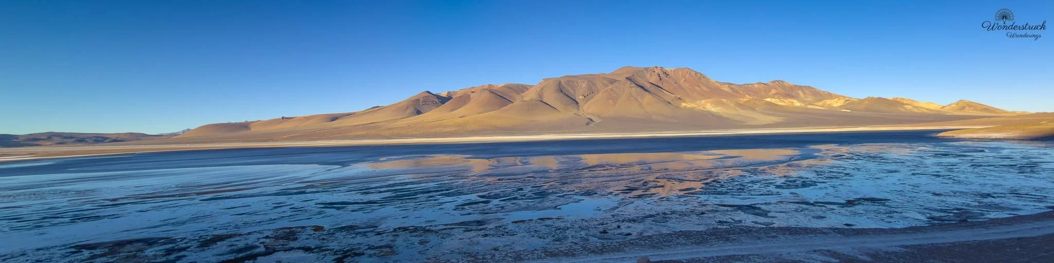
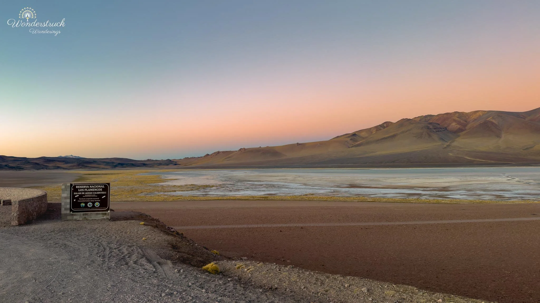
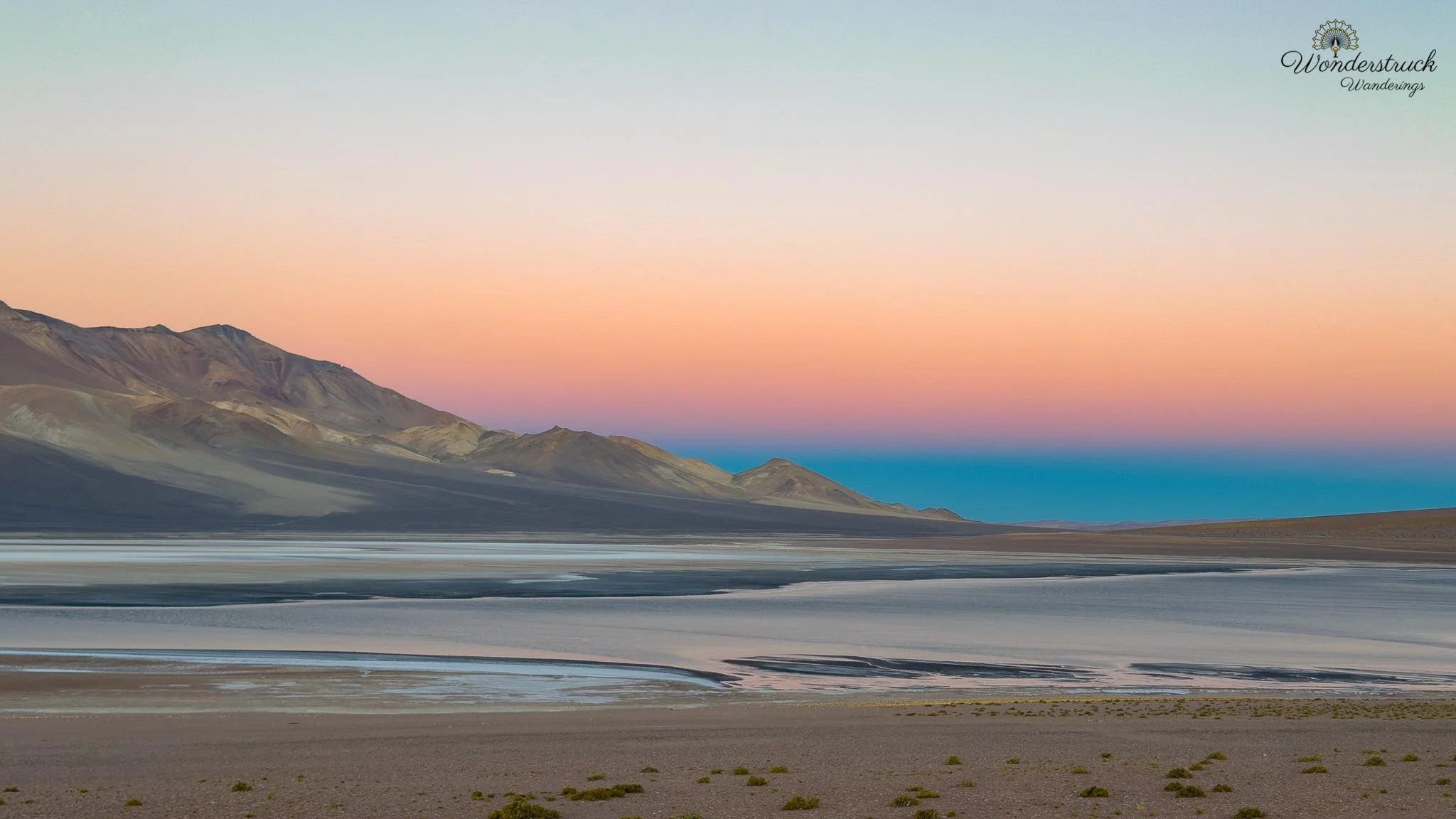
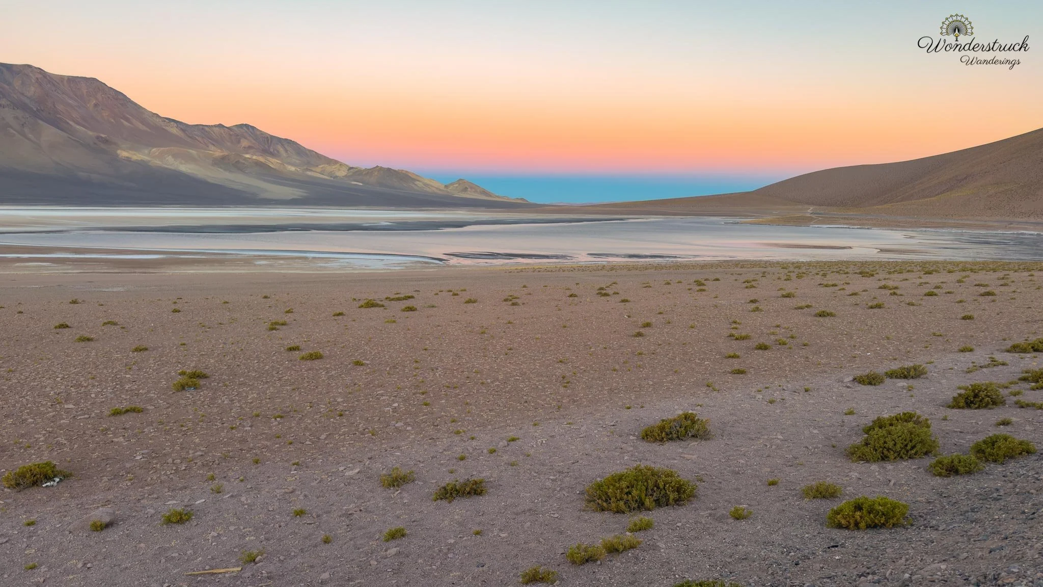
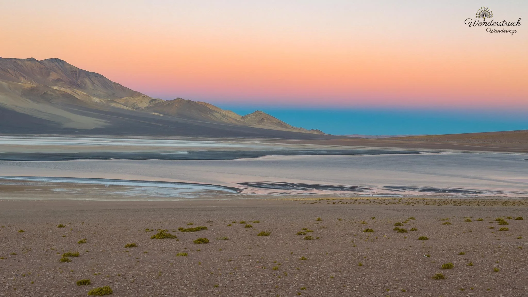
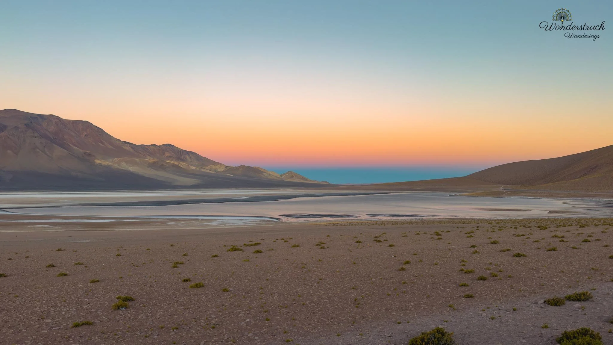
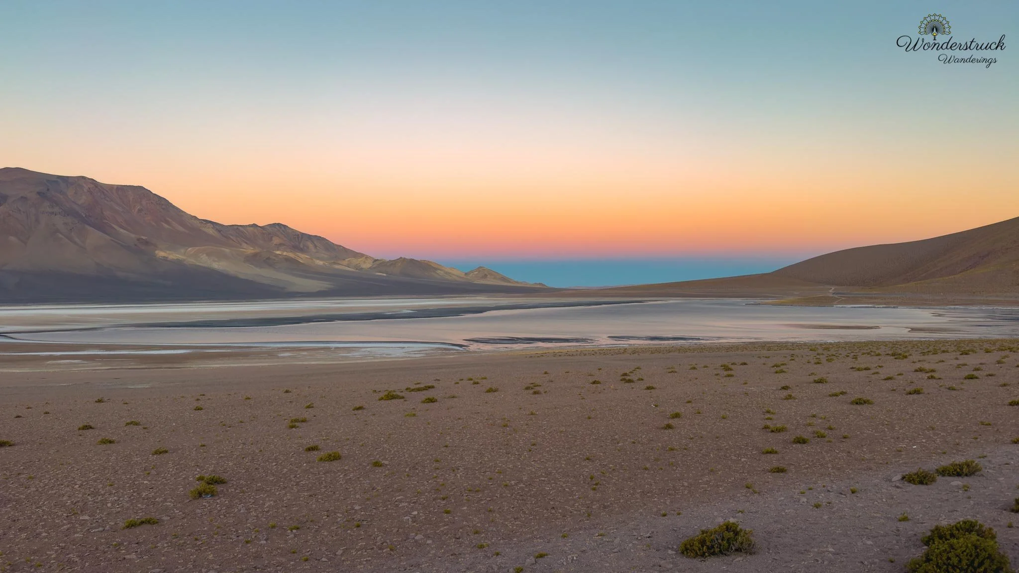
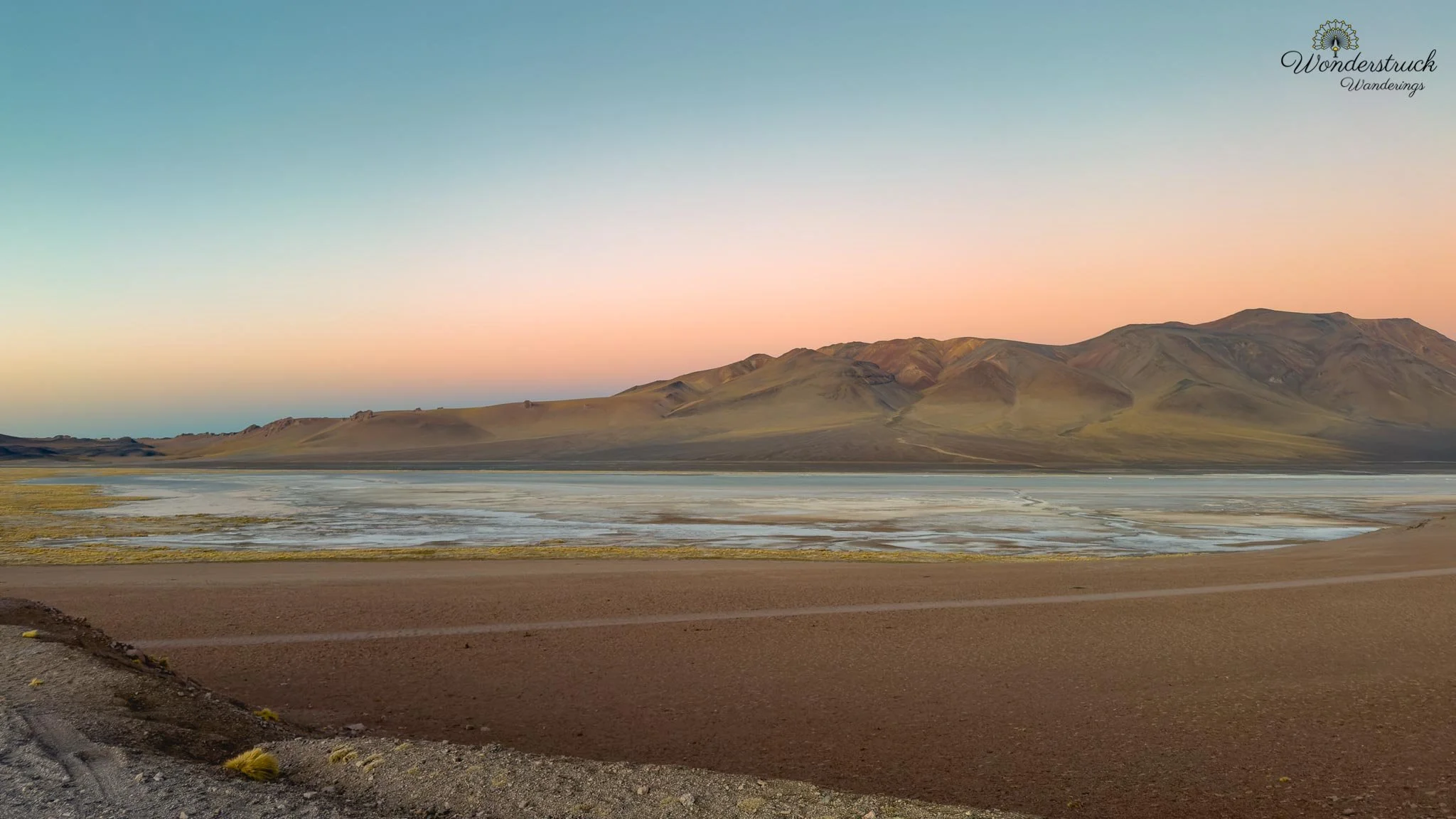
The next highlight was the Mirador Salar de Quisquiro, farther east and roughly 120 to 130 kilometers from San Pedro. A quieter stop, but one that stayed with us — the view across the salt flat was wide and still, pale ground and shallow water with mountains beyond. By then the harsh afternoon glare had softened, and the salt flat began taking on more delicate color. We saw a flamingo in the setting light, giving the scene one perfect living detail; after hours of hard high-altitude light, the evening tones finally brought depth back to the landscape. We eventually turned around rather than continuing to Paso de Jama, the Argentina border about 156 kilometers from San Pedro. It was the practical choice — the road keeps going, and the border matters for travelers crossing into Argentina, but our goal had been the highland viewpoints, wetlands, and salt flats rather than the crossing itself. On the drive back we watched the sky change color around the Salar de Tara viewpoint, the high plateau shifting from pale desert brightness to muted pinks, purples, and blues — the same road feeling different in reverse. Ruta 27 started as an afternoon drive, but by the end it became one of the clearest reminders that the Atacama isn't one landscape. It's a chain of basins, volcanoes, wetlands, salt flats, calderas, lava slopes, border roads, and highland plateaus, layered one after another — from San Pedro's dry basin to the thin air of the Andean puna, the road compressing a huge stretch of northern Chile into a single drive.
Dinner at Almas and Packing for El Tatio
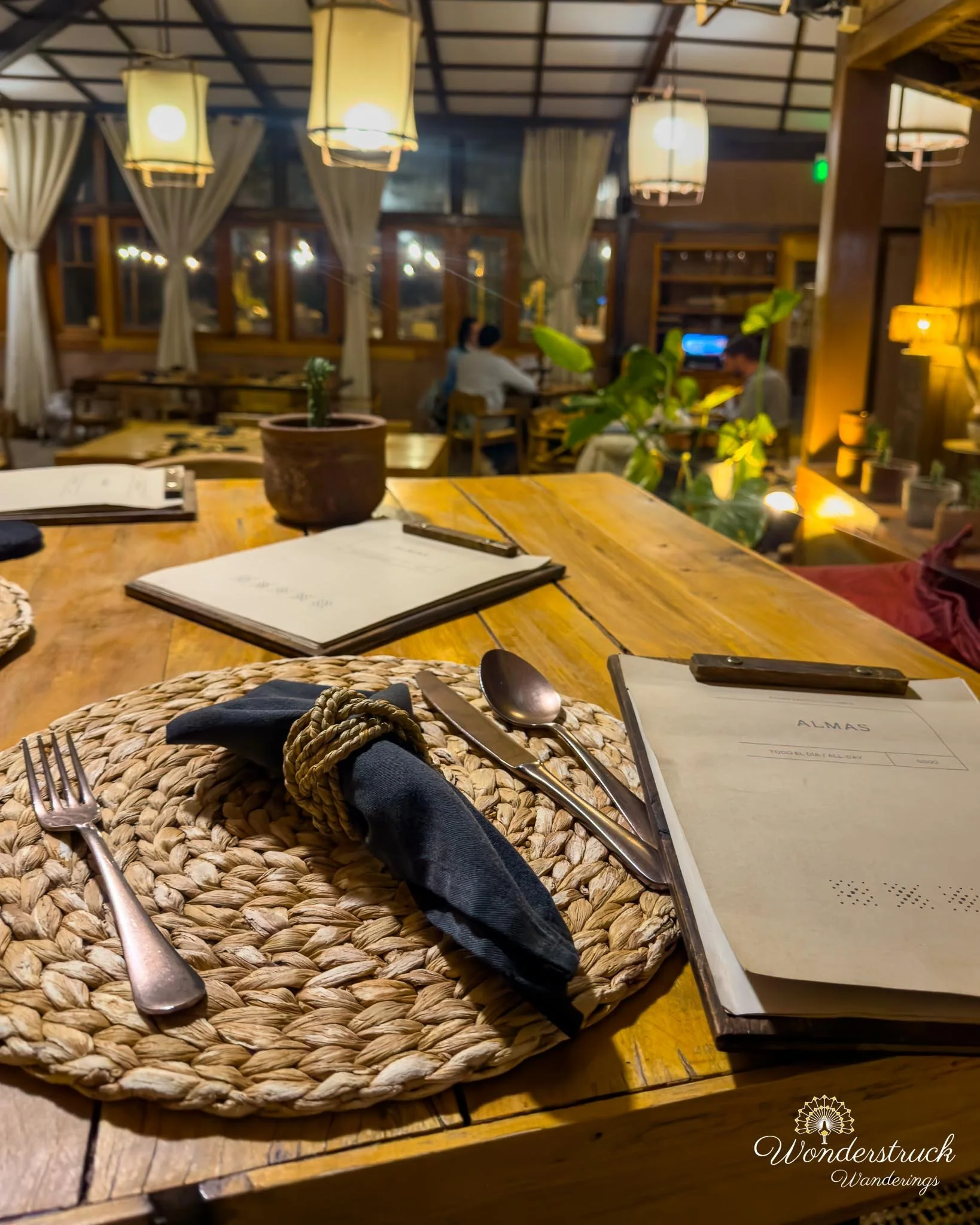
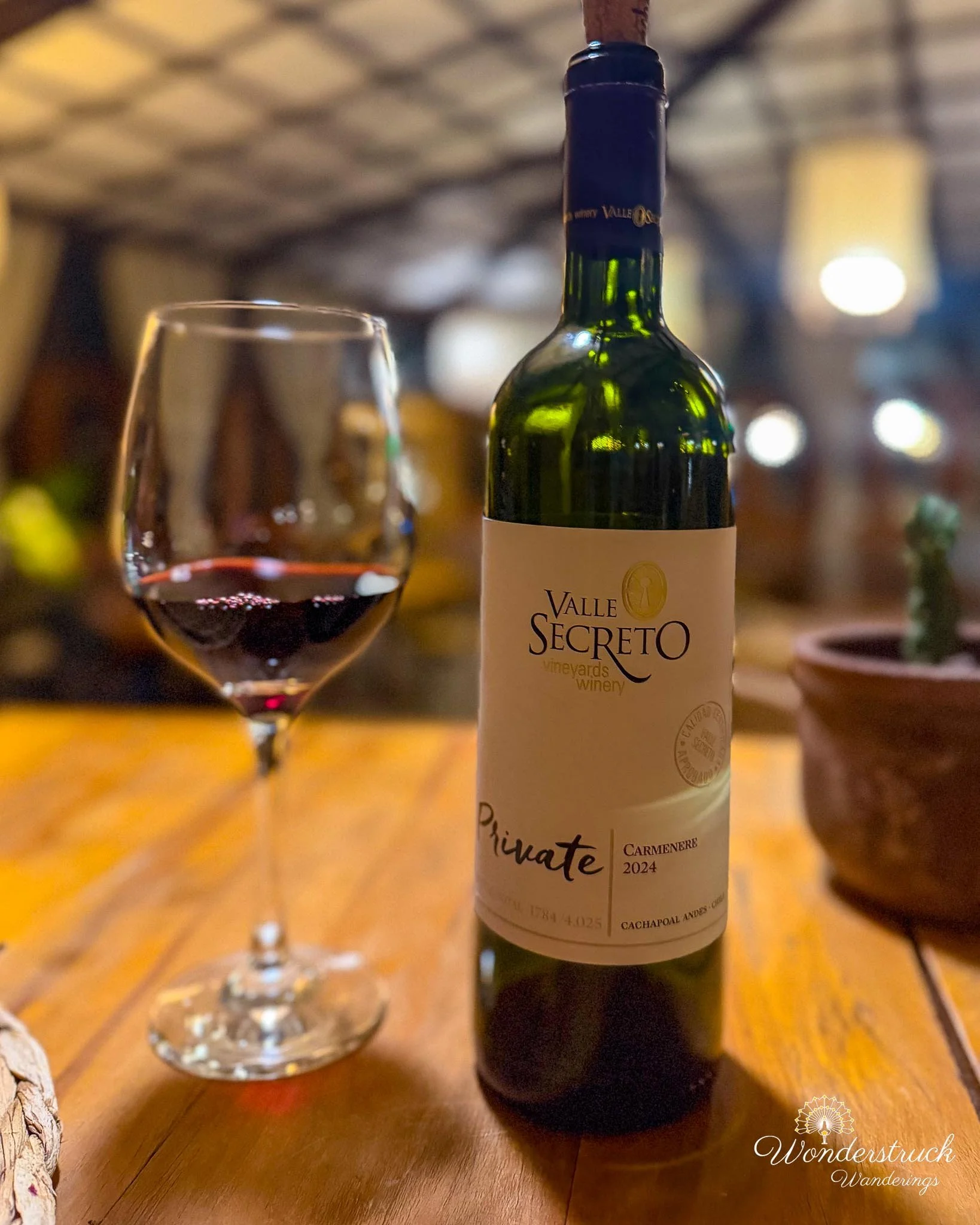
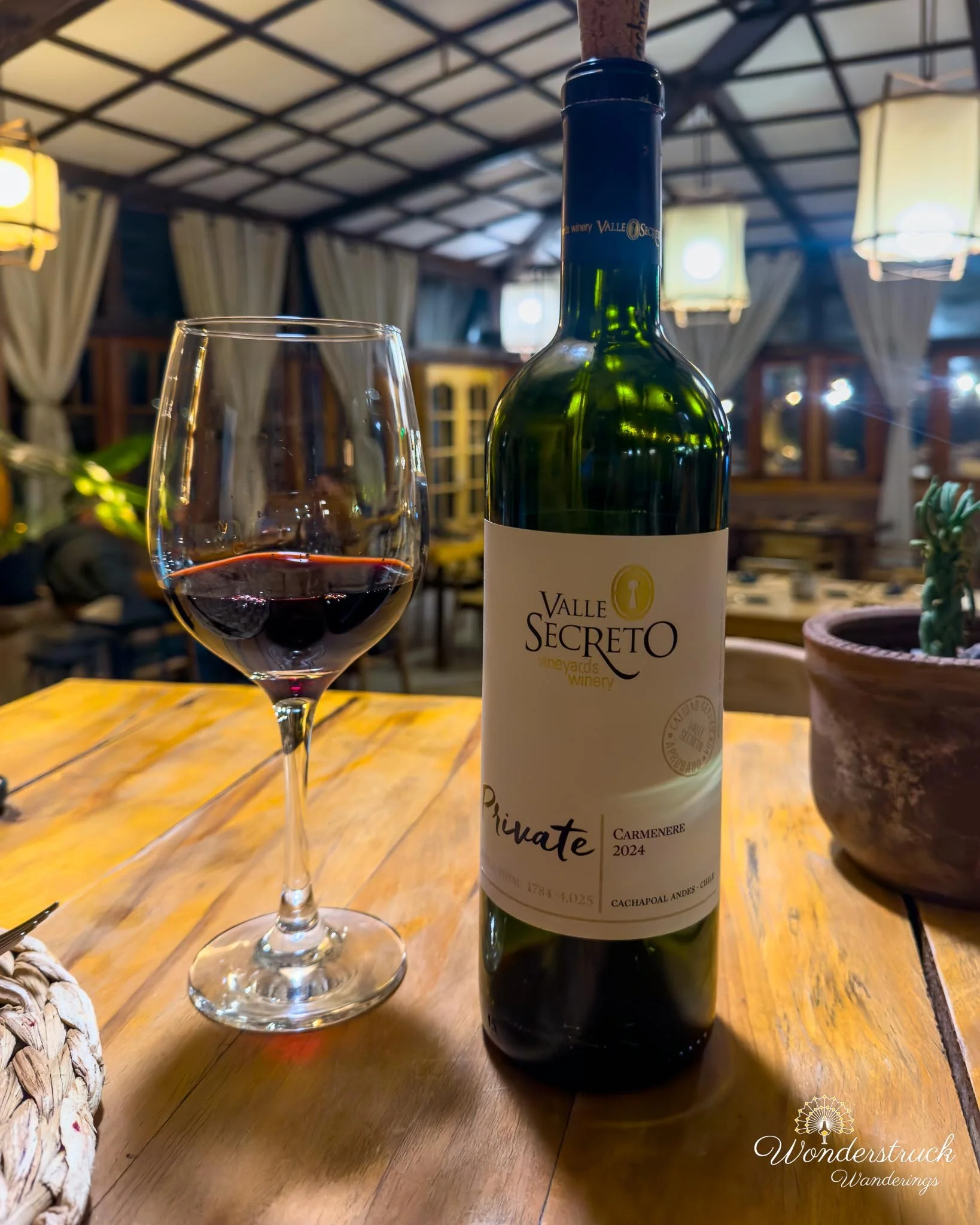
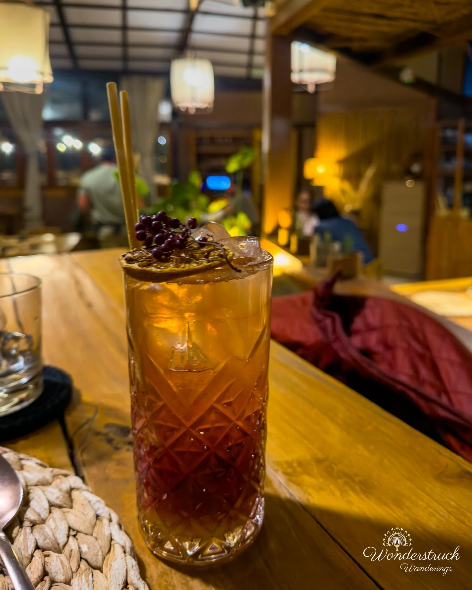
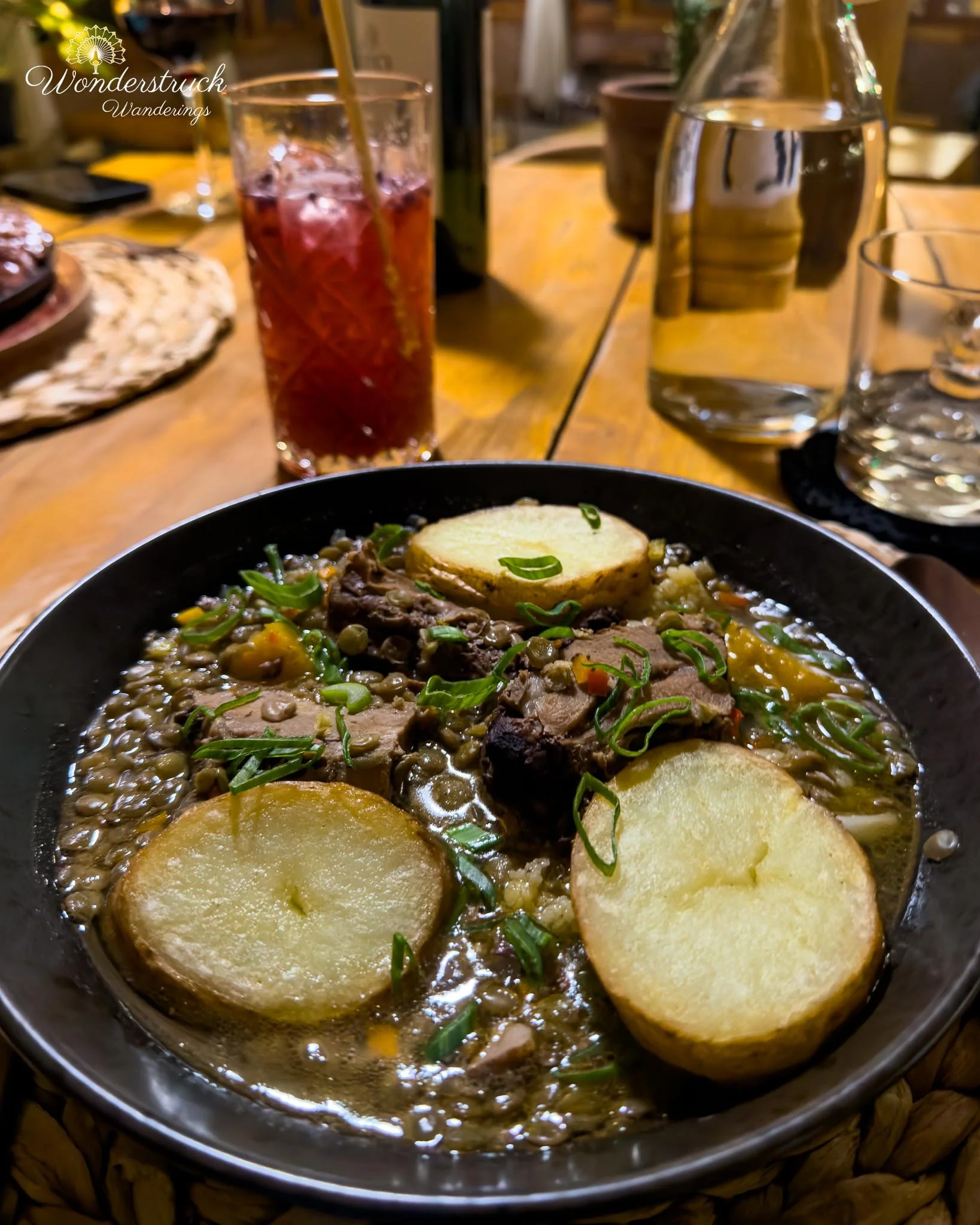
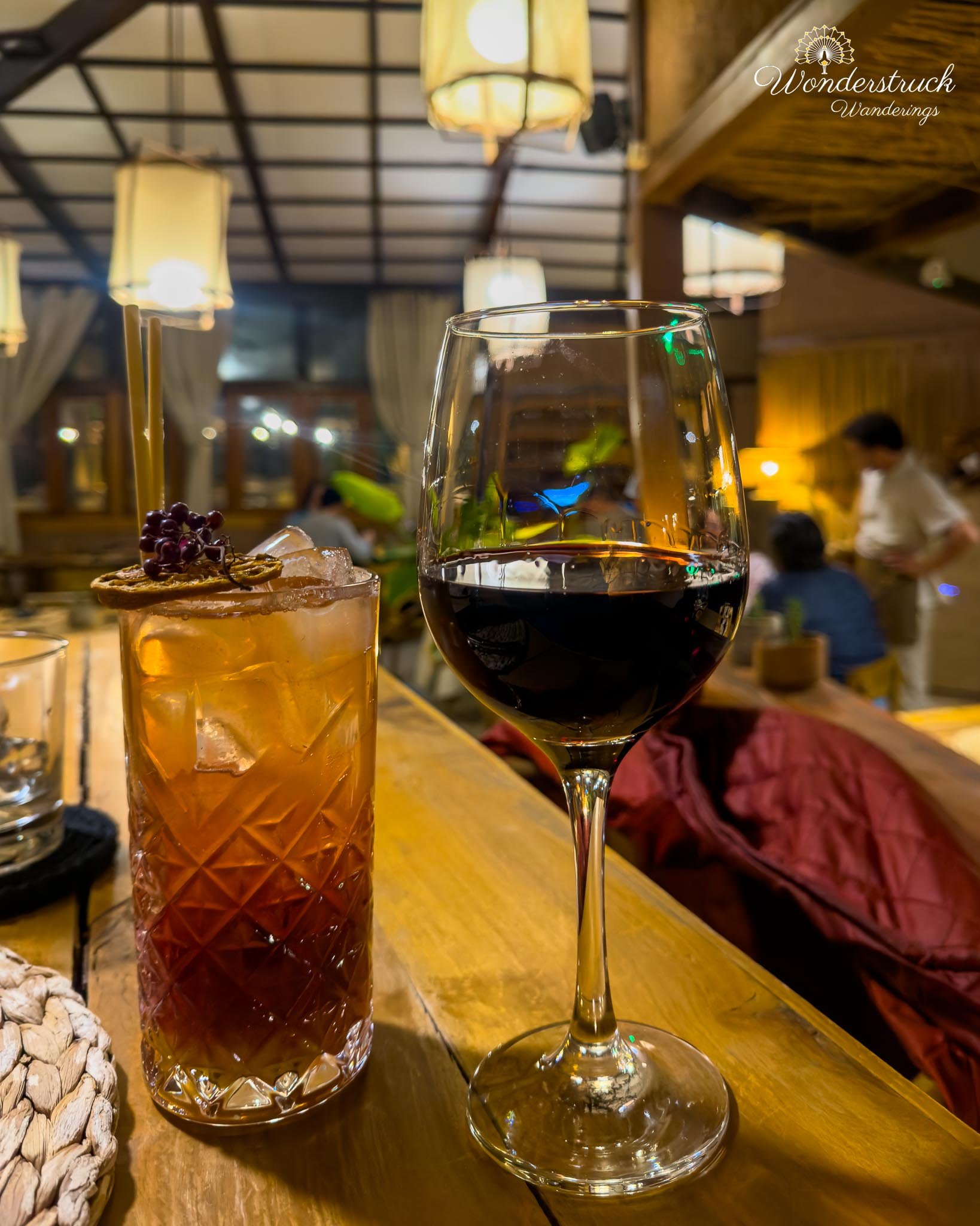
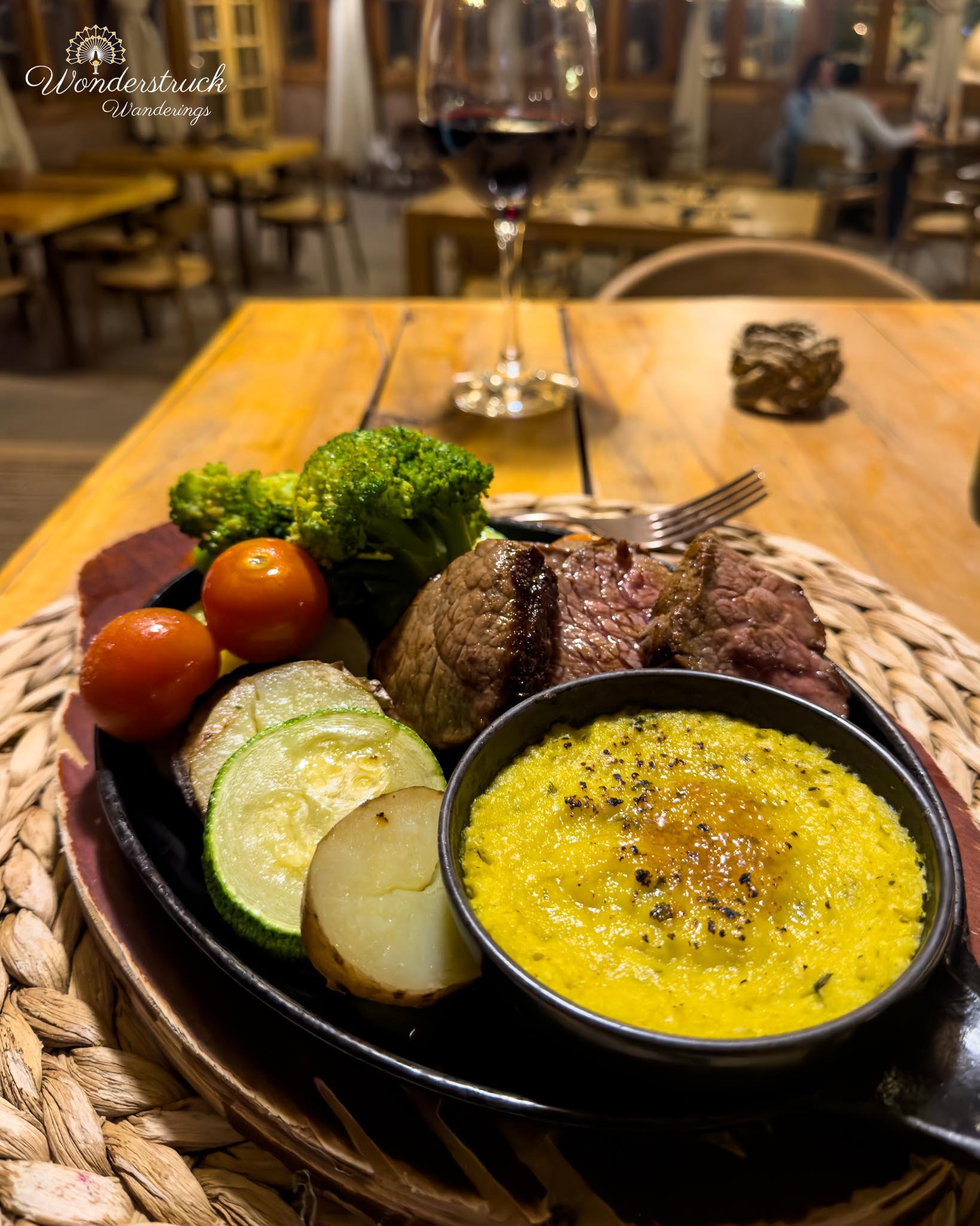
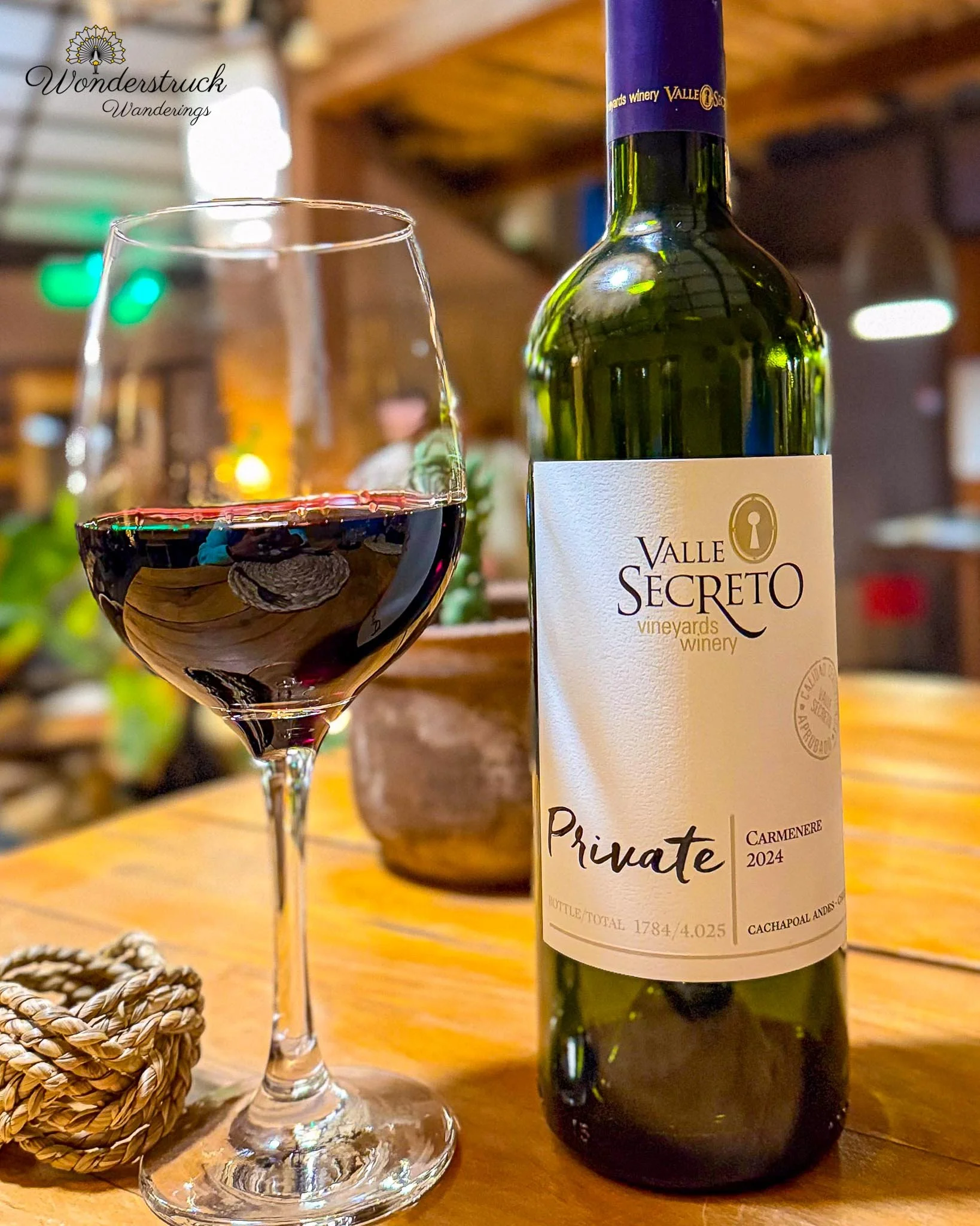
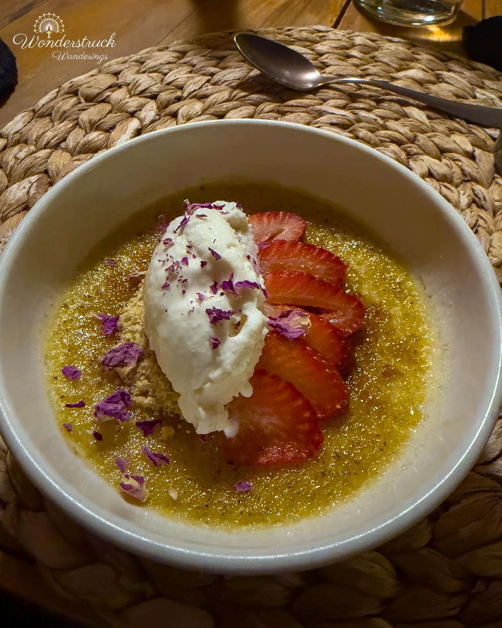
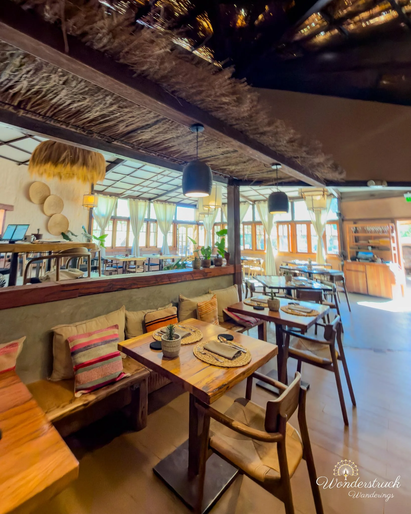
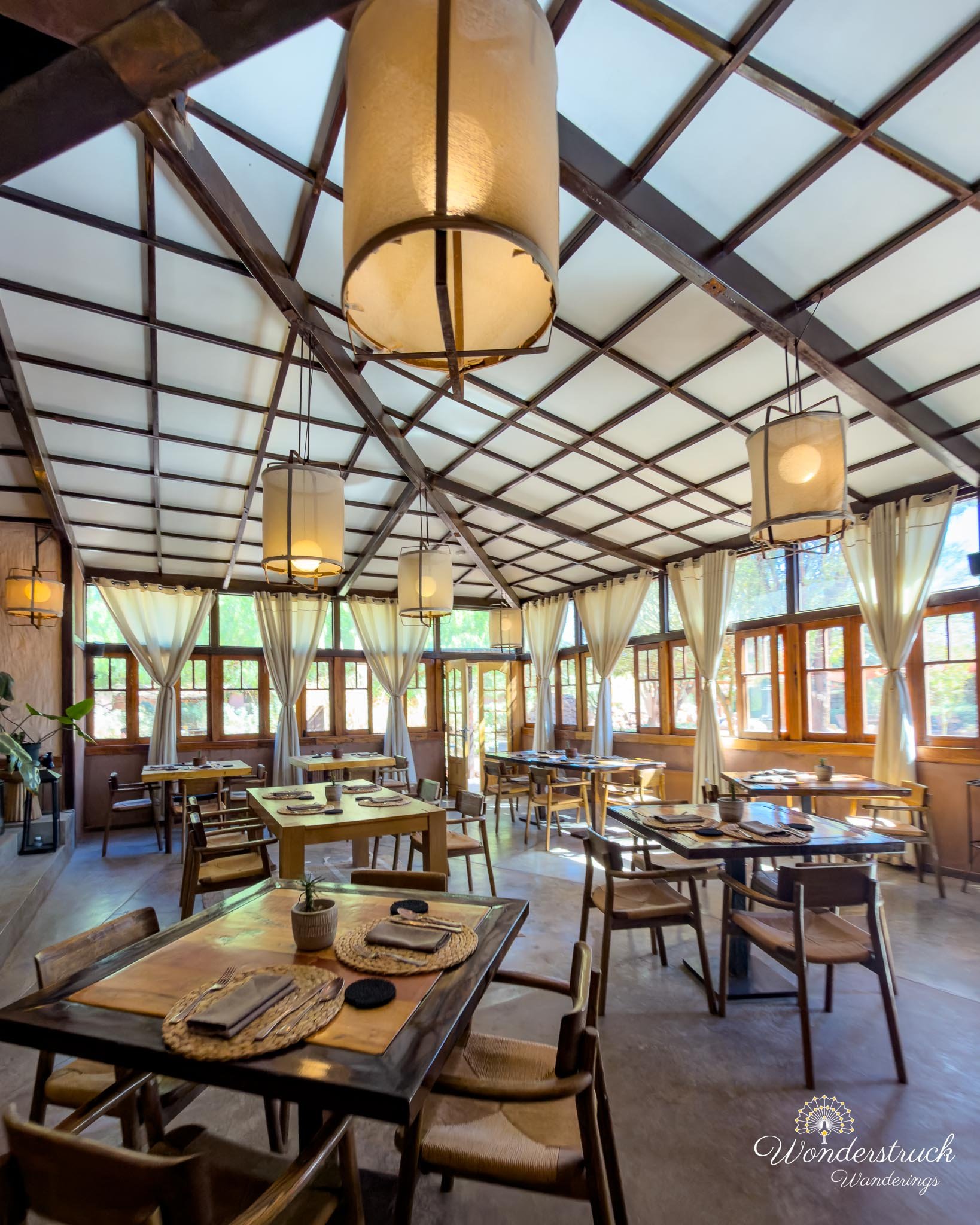
Back at Our Habitas, we decided to have dinner at the hotel for two practical reasons. First, we wanted to try Almas, the in-house resturant. Second, the next morning was El Tatio, which meant a very early wakeup and no desire for a long dinner expedition in town. Shay had the Carmenere from Valle Secreto Private and loved its jammy, spicy notes. I went with a ginger and local berry mocktail. For dinner, we ordered lamb tagine with lentils and picana meat with grilled vegetables and corn mash. Dessert was creme brulee. After a day of salt lagoons, high-altitude driving, wind, cold, and thin air, eating at the hotel felt like the right kind of quiet ending. Before bed, we packed all our layered clothing for the next morning. El Tatio would be cold, early, and high, so there was no room for lazy packing at 4 a.m. We set out what we needed, made sure the pastries from La Franchuteria were ready, and went to sleep early. Day 3 had started slowly, but it became one of those Atacama days that showed us several versions of the desert at once: floating in salt water, flamingos in distant blue lagoons, a Puna Plover at the edge of the water, a hawk over the salt flats, French bread in a desert town, rica-rica ice cream, a road climbing toward the high plateau, wetlands in the middle of dryness, finches on the high plateau, and a flamingo glowing near Salar de Quisquiro at sunset.